Search

Travelling Photographer

Photos and commentary from my travels around the globe

Month

November 2019

Hiking Black Creek Ravines Conservation Area

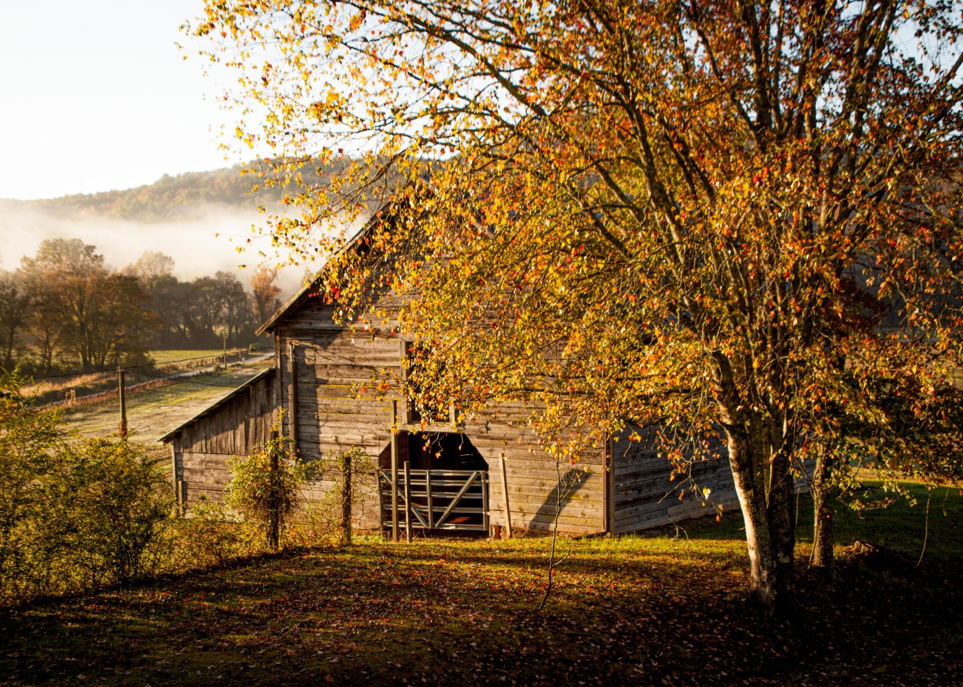
You will see a remarkable number of different Florida landscapes here, with elevations ranging from five feet above mean sea level at points along Black Creek to 90 feet above mean sea level on the sandhills. Some areas within the conservation area are classified as being imperiled in Florida because of their rarity and vulnerability to natural or man-made factors. Consisting primarily of pine flatwoods, sandhills and wetlands, this property’s most distinctive characteristics are the seepage slopes and steep ravines that result from a series of naturally eroding seepage streams. These sensitive ecosystems support a wide variety of native aquatic and wetland-dependent species. About 2.7 miles of the south shore of Black Creek is protected to maintain the important recharge functions of the upland sandhill community.

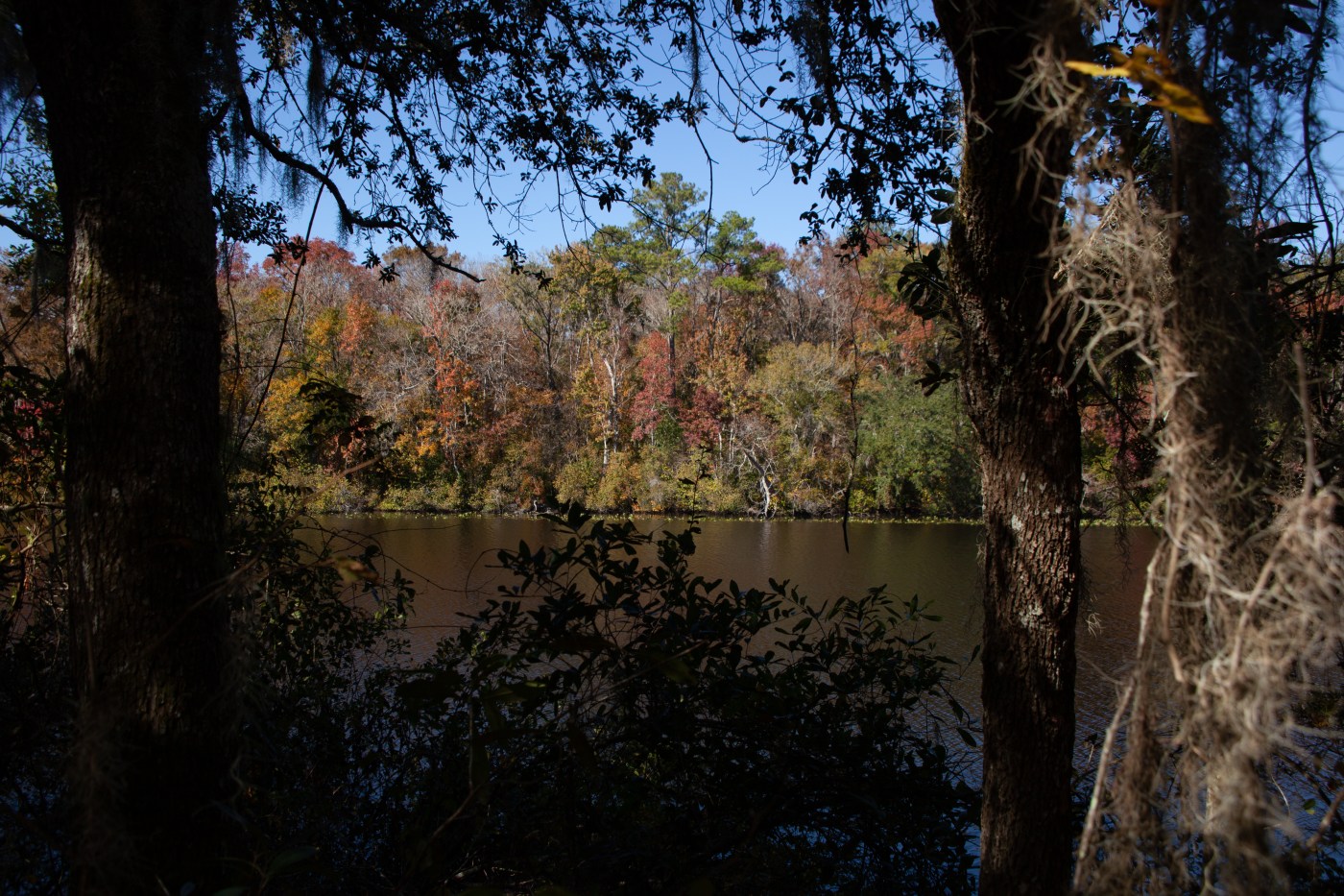
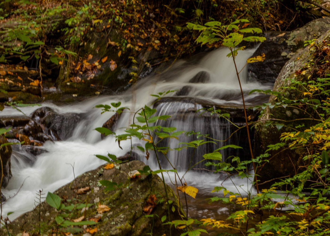
One of the special highlights of this property is its ravine system, which is almost a mile in length and almost 95 feet deep. Ravines are created when an underground soil layer, typically comprised of dense clay, prevents rainwater from percolating downward through the soil layers and into the water table and instead forces the water to move laterally across the landscape, creating natural erosion that begins as a small gully and over time grows into a large ravine.  Additionally, one of the features not to be missed at Black Creek Ravines is the spectacular overlook of Black Creek. The bluff stands almost 30 feet above the creek, an elevation rarely seen in Florida and provides a breath-taking view of the creek.

Trekking in Northern Georgia – Day 2 & 3

Day 2

Early morning hike along the High Shoals Trail passing Blue Hole Falls and ending at Shoals Falls. This 2.4 mile trail was well marked and described at the trail head except for one important point -a bridge over the stream to the falls was out. It was a quick wake-up fording the stream – glad I wasn’t doing it in the spring.

Moving on to Brasstown Bald which is the highest point in the U.S. state of Georgia. Located in northeast Georgia, the mountain is known to the native Cherokee people as Enotah. The bald is 4783 feet above sea level. You could hike from the parking lot to the bald but after doing the High Shoals Trail I opted for the parks shuttle bus — but I did hike down to my car.
 
My next stop was Anna Ruby Falls.  Anna Ruby Falls is a pair of beautiful waterfalls, cascading in tandem through a beautiful slice of North Georgia forest. The twin waterfalls spill from a towering cliff in wispy white tendrils before splashing and pooling over mossy boulders.    
 
The final hike of the day was Dukes Creek Trail  a moderate 2 miles out and back through a beautiful, mountain stream-filled forest in Georgia just north of Helen. The trail descends alongside a shallow, mossy stream, hiking to several large, cascading waterfalls that tumble at the convergence of Davis Creek and Dukes Creek. At trails end the main attraction is a multi-tiered, 150-foot-tall drop of Dukes Creek Falls.  
High Shoals Trail

Brasstown Bald


Anna Ruby Falls


Dukes Creek Falls


Day 3

Awoke to a light rain so I donned rain gear and headed out. First stop was Helton Creek Falls. Helton Creek Falls cascades in a set of two waterfalls, sliding down a beautiful, hemlock-

filled creek valley.  Getting there was half the fun – fording two streams and hoping the Rouge
was going to make it.
The weather went down hills as I headed to Amicalola Falls. Amicalola Falls is a 729-foot waterfall on Amicalola Creek in Dawson County, Georgia. It the highest waterfall in Georgia and is considered to be one of the Seven Natural Wonders of Georgia. The name “Amicalola” is derived from a Cherokee language word meaning “tumbling waters”.
Too bad I didn’t make it — the rains were so heavy I need to pull off the winding mountain roads because the wipe couldn’t clear the windshield. When I arrived at the park the ranger didn’t advise hiking to the falls — so I headed south to Ormond Beach — but is was a fun trip. You can check out Amicalola here:https://www.atlantatrails.com/amicalola-falls
Helton Creek Falls

Trekking in Northern Georgia Day #1

Left Plantation Bay on Sunday and drove to Helen Ga.- my first stop on my Leaf peeping and waterfall hiking trip. Helen was a surprise an Alpine Village in the south. Sunday was their Oktoberfest and the town was packed with swaying revelers. On Monday I started my touring just after sunrise first viewing a small waterfall on the   Chattahoochee River then heading through fog shrouded fields to Stovall Mill covered bridge. Then off to my first hike in Tallulah Gorge SP – the park has 6 waterfalls and a trail with 5 view spots. The gorge is over 1000 feet deep and two miles long.  My highlight was the 310 steps down the gorge to a swing bridge over Hurricane falls. Not a fan of swinging bridges but it was the only way to get a close look at the falls. I then headed north to Black Rock Mountain SP for the leaf viewing – northern Georgia was near to past peak – many trees were just brown because of limited rainfall this summer. To get a up close view of the colors I hiked the Tennessee Rock trail – a 2.2 mile loop trail first dipping into a gorge the up to and along the eastern continental divide. An overlook point on the trail provided views of mountains in North and South Carolina as well as Tennessee. I ended the day in Young Harris Ga. a few miles from the North Carolina border.

Helen Ga.

Tallulah Gorge SP

Blog at WordPress.com.

Up ↑