Search

Travelling Photographer

Photos and commentary from my travels around the globe

Tag

nature

2026 Fall New England Trip #4 – Tracking Covered Bridges and Waterfalls – Continued

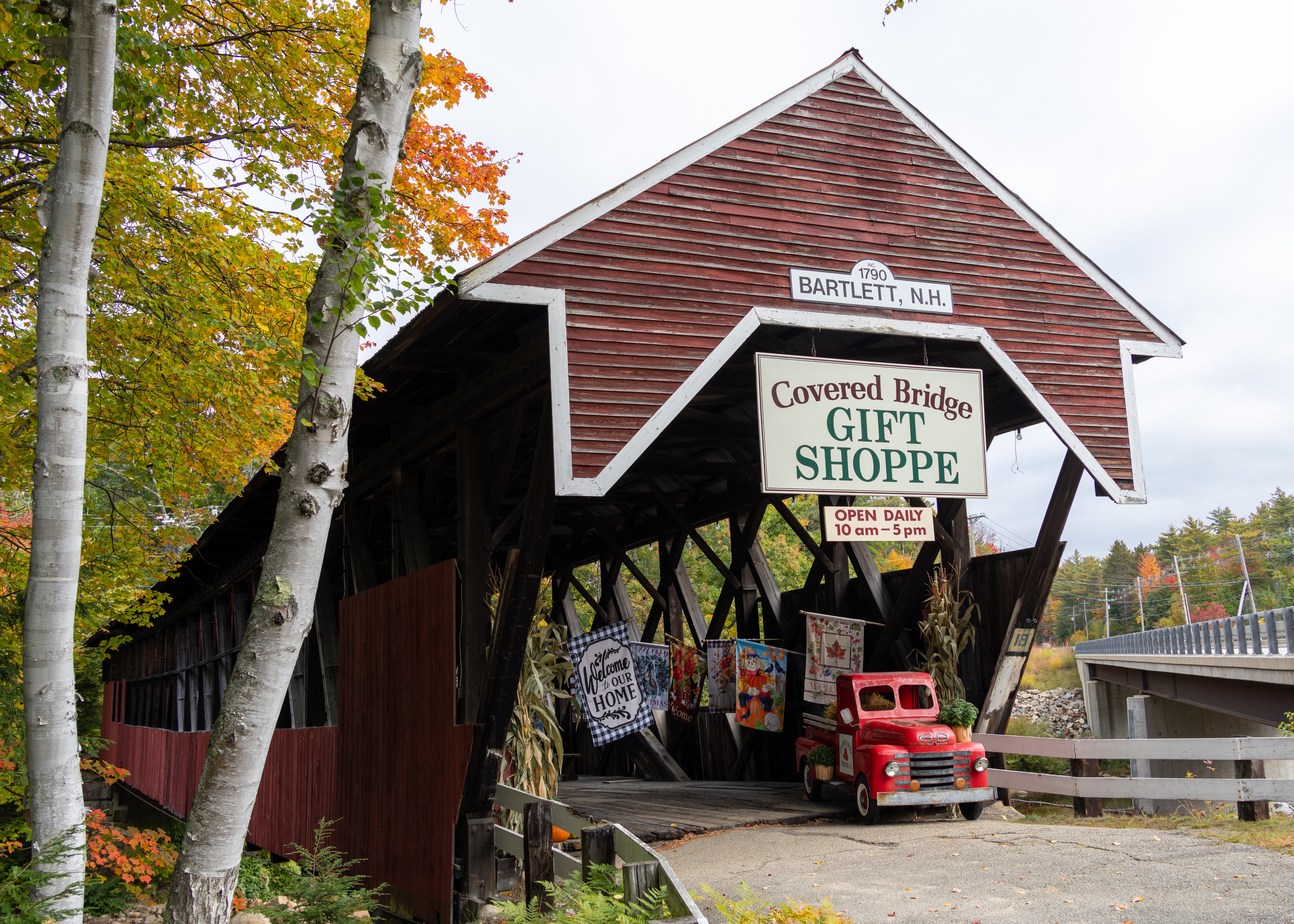
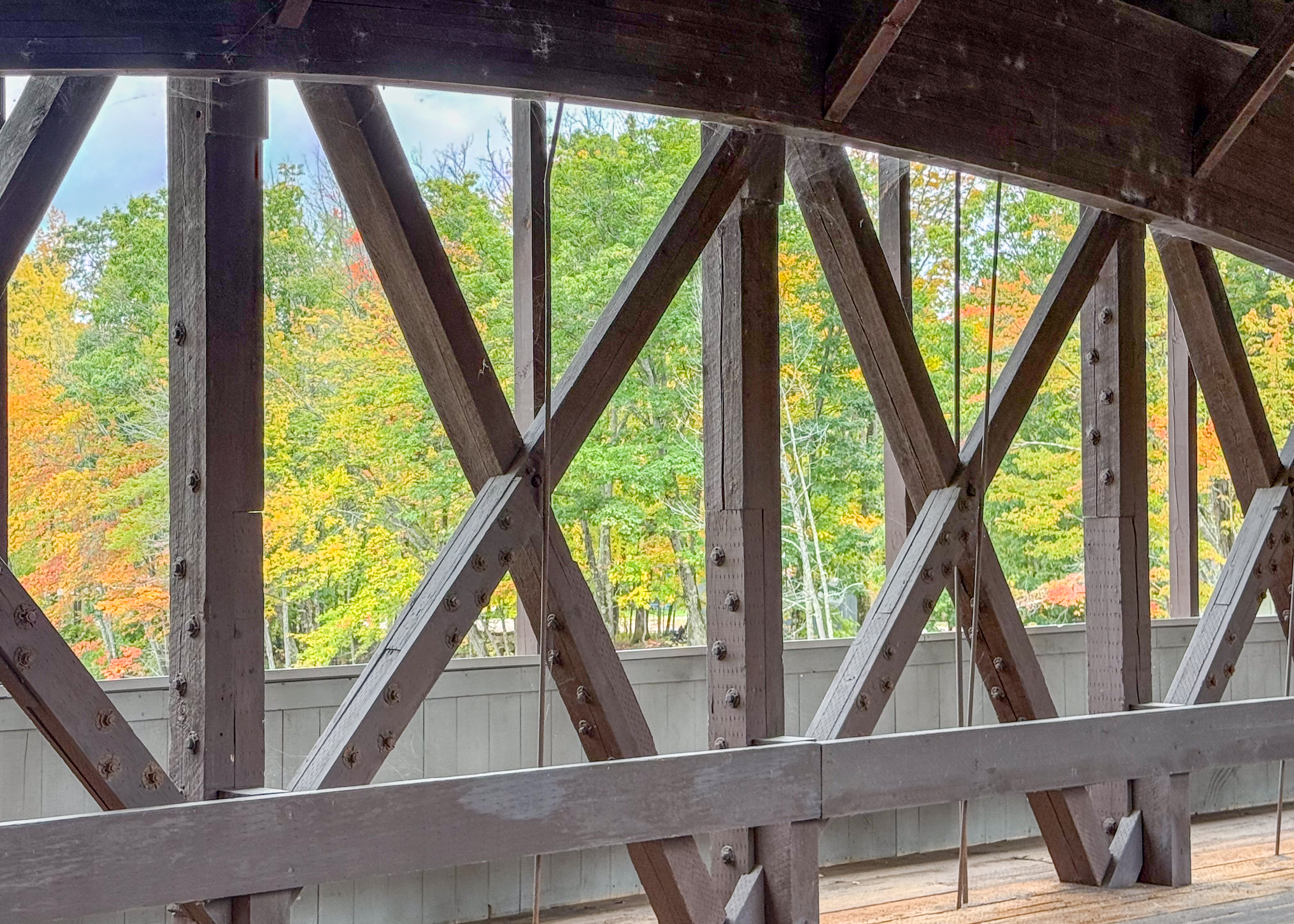
Bartlett Covered Bridge

The historic Bartlett Covered Bridge, which spans the Saco River. Built in 1850, the bridge is 183 feet long with single-span, paddleford-type construction. The span was strengthened for vehicular traffic by the addition of a pair of laminated wooden arches in the 1920’s. This bridge carried traffic travelling on Route 302 over the Saco River for more than 80 years until it was replaced by the steel bridge in 1939.

Jackson Bridge (Honeymoon Bridge)

Honeymoon Bridge is a wooden covered bridge in Jackson, New Hampshire, spanning the Ellis River in Jackson Village. Built in 1876 by Charles Austin Broughton and his son Frank, the 121-foot Paddleford truss structure is designated Covered Bridge No. 51 and earned its “Honeymoon” name from a local tradition of couples kissing beneath it.
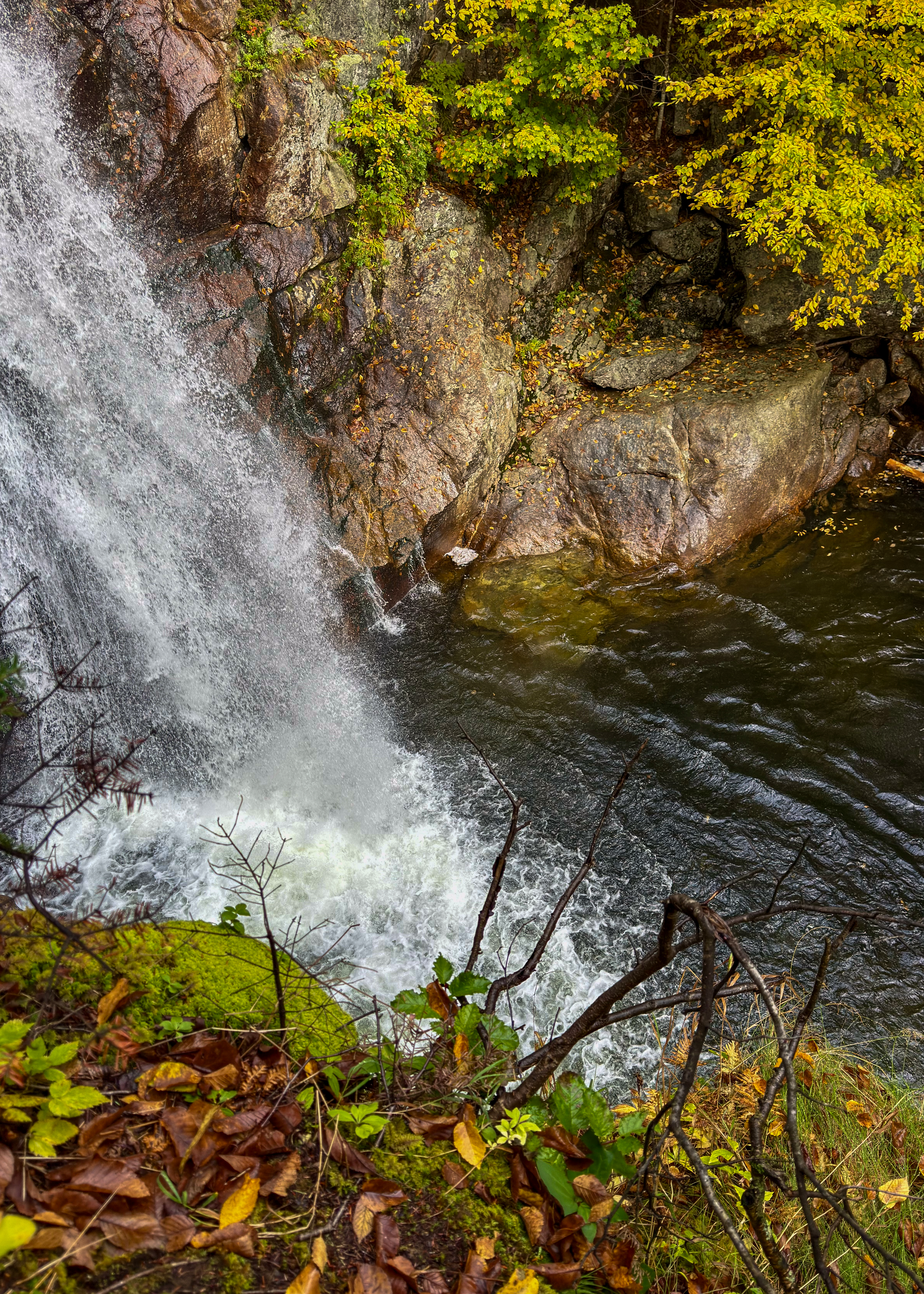
Glen Ellis Falls

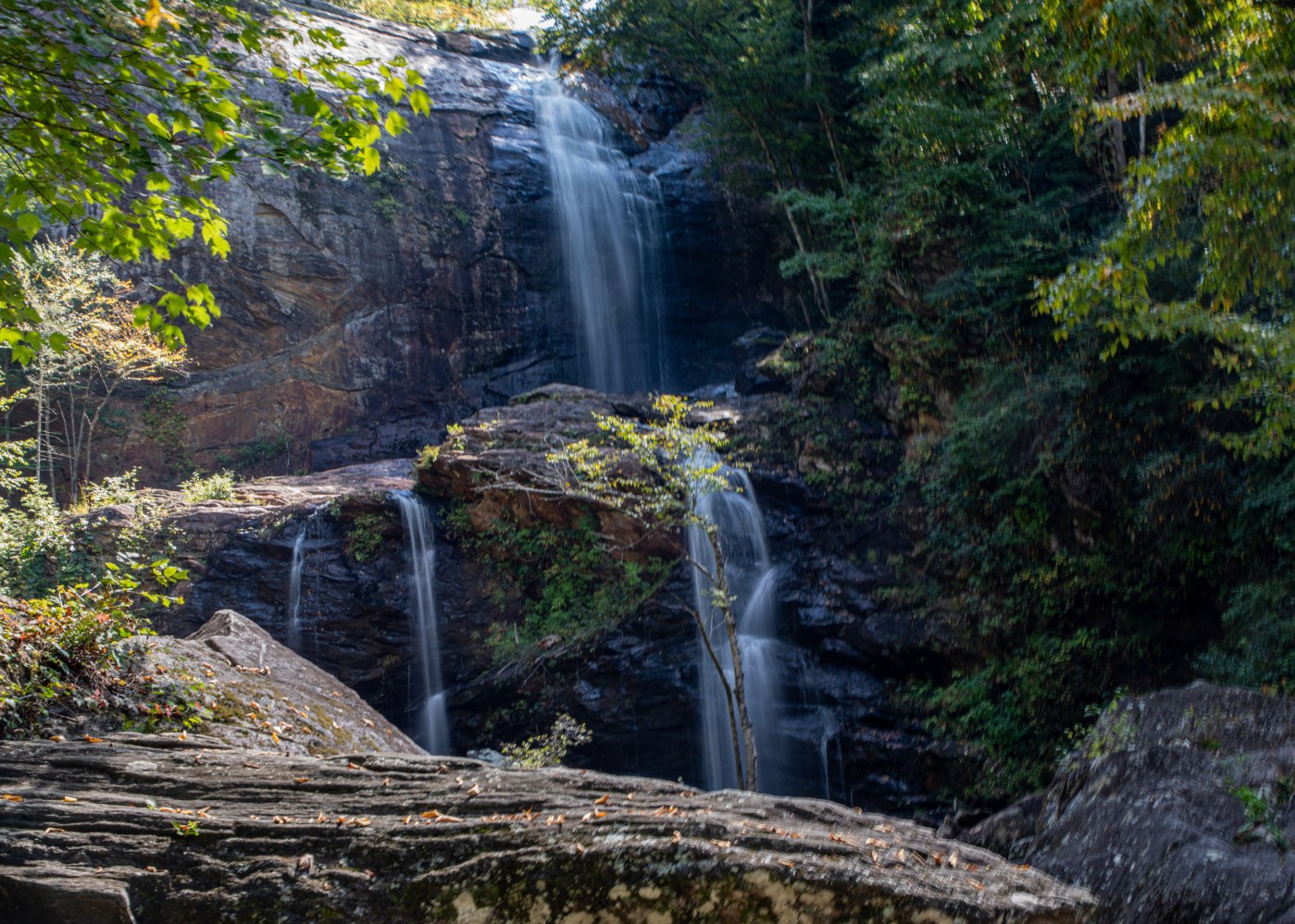
This stunning, 64′ waterfall is one not to miss. Located along the Ellis River in the White Mountain National Forest, this waterfall is only a hop, skip, and a jump from the parking lot on Route 16. The walk in is 0.4 miles along the wooded trail, with a few steps to navigate once you are at the falls.
Jackson Falls

Jackson Falls is an iconic series of broad Wildcat Brook ledges and small pools that cascade right through Jackson village on NH 16B. The main stop is at the roadside pull-offs along NH 16B just above Jackson Square.
Diana’s Baths

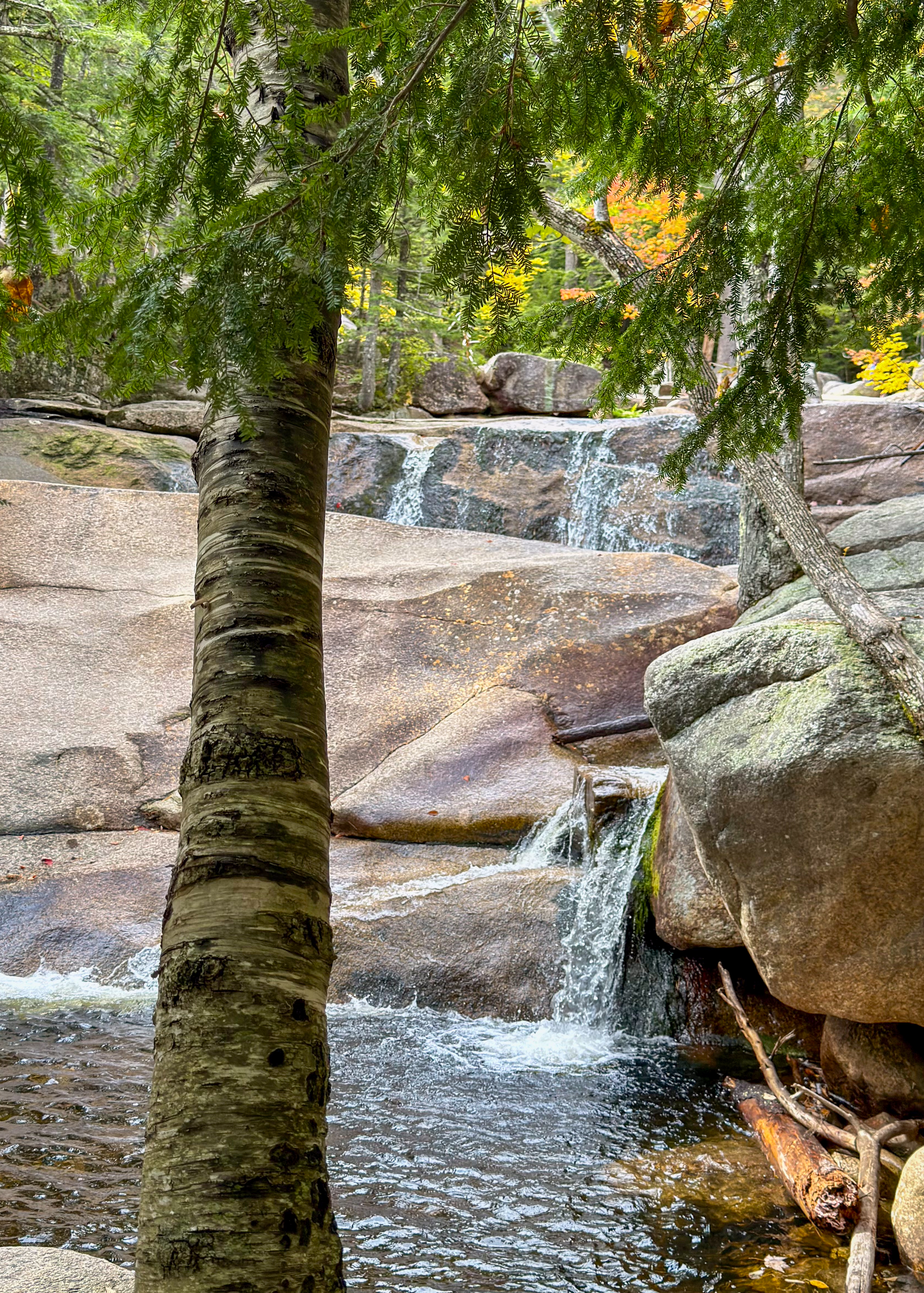
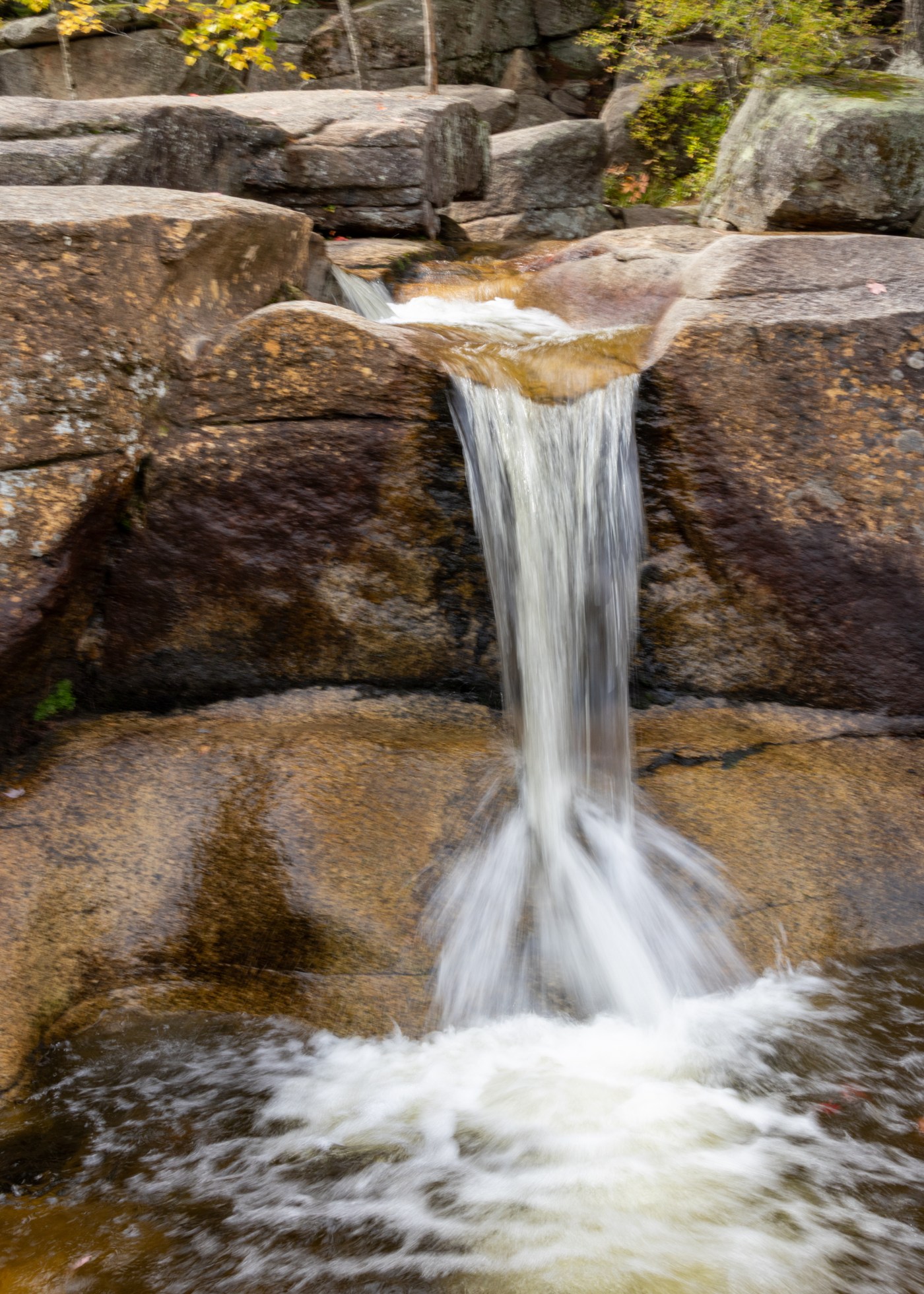
Diana’s Baths is a series of small waterfalls and pools located in the White Mountain National Forest off West Side Road in North Conway.  Multiple spots let you wade on hot days and take inspiring photos. The falls’ appeal is even greater because they’re so accessible. One only has to hike a ½ mile on an ADA-approved gravel surface to see them. This is an iconic Mt. Washington Valley cascade.
Swift River Covered Bridge

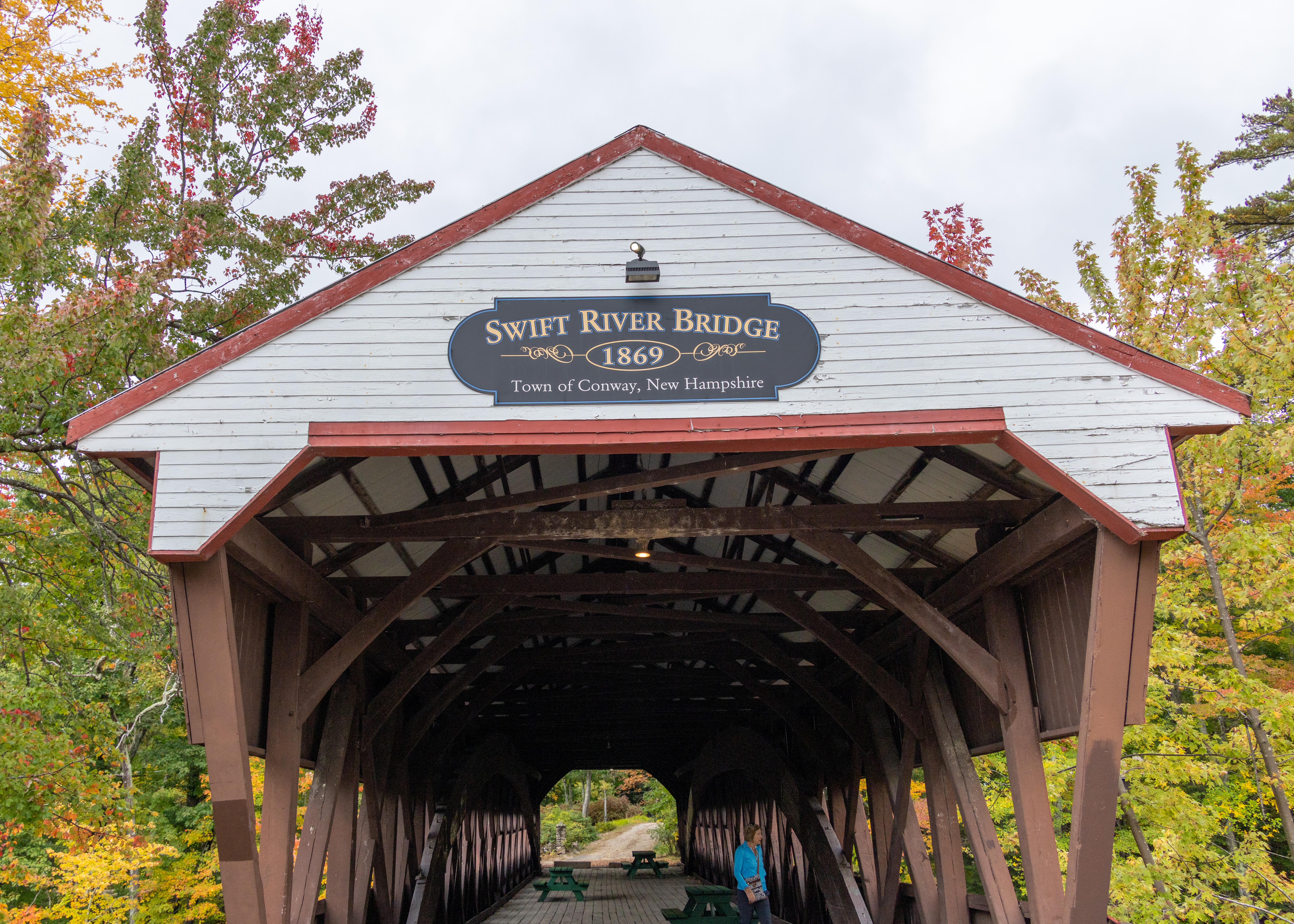
Swift River Bridge is a 19th-century covered bridge in Conway, New Hampshire, spanning the Swift River on a bypassed section of West Side Road near Conway Village. Built in 1870 by Jacob E. Berry and his son Jacob H. Berry, the single-span structure uses a Paddleford truss with a supplemental arch and measures about 129 feet in length.
Saco River Covered Bridge

Saco River Covered Bridge is a 19th-century covered wooden bridge in Conway Village in the White Mountains of New Hampshire, spanning the Saco River just north of Route 16. Built in 1890 as a two-span Paddleford truss with arch reinforcement, the roughly 225-foot structure was rehabilitated in the late 1980s and is recognized among the state’s best historic covered bridges.
February 2025 – A Good Hiking Month

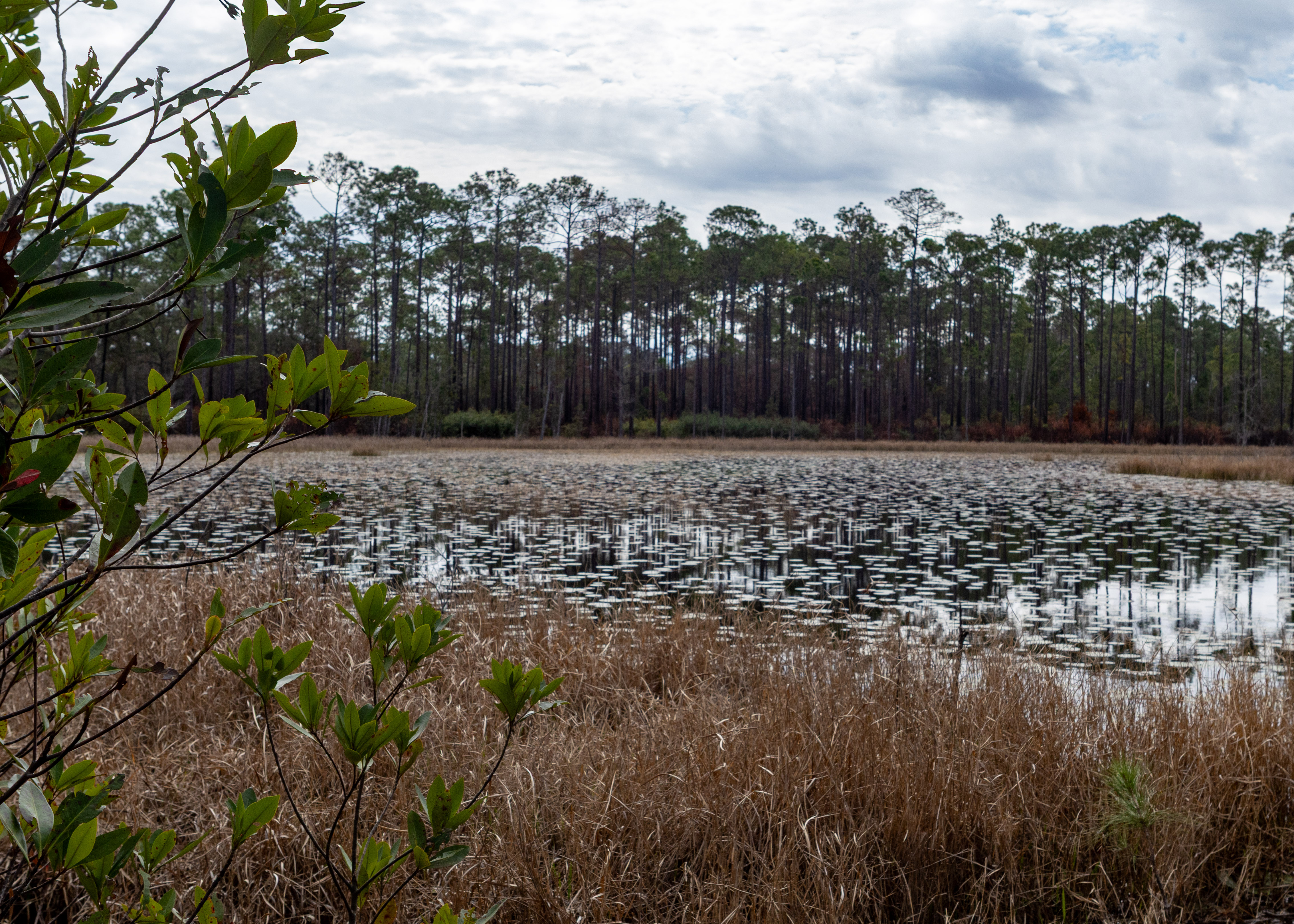
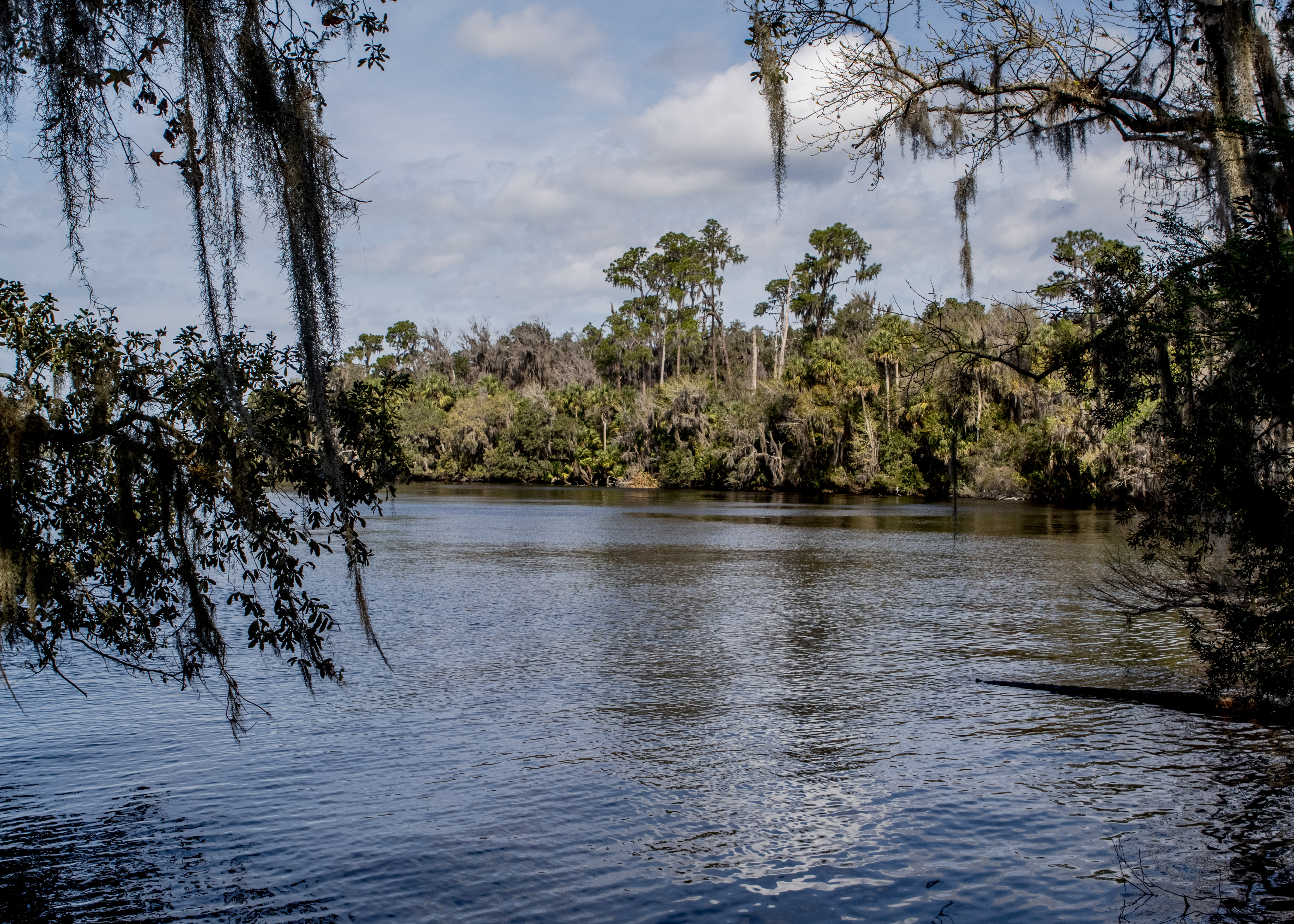
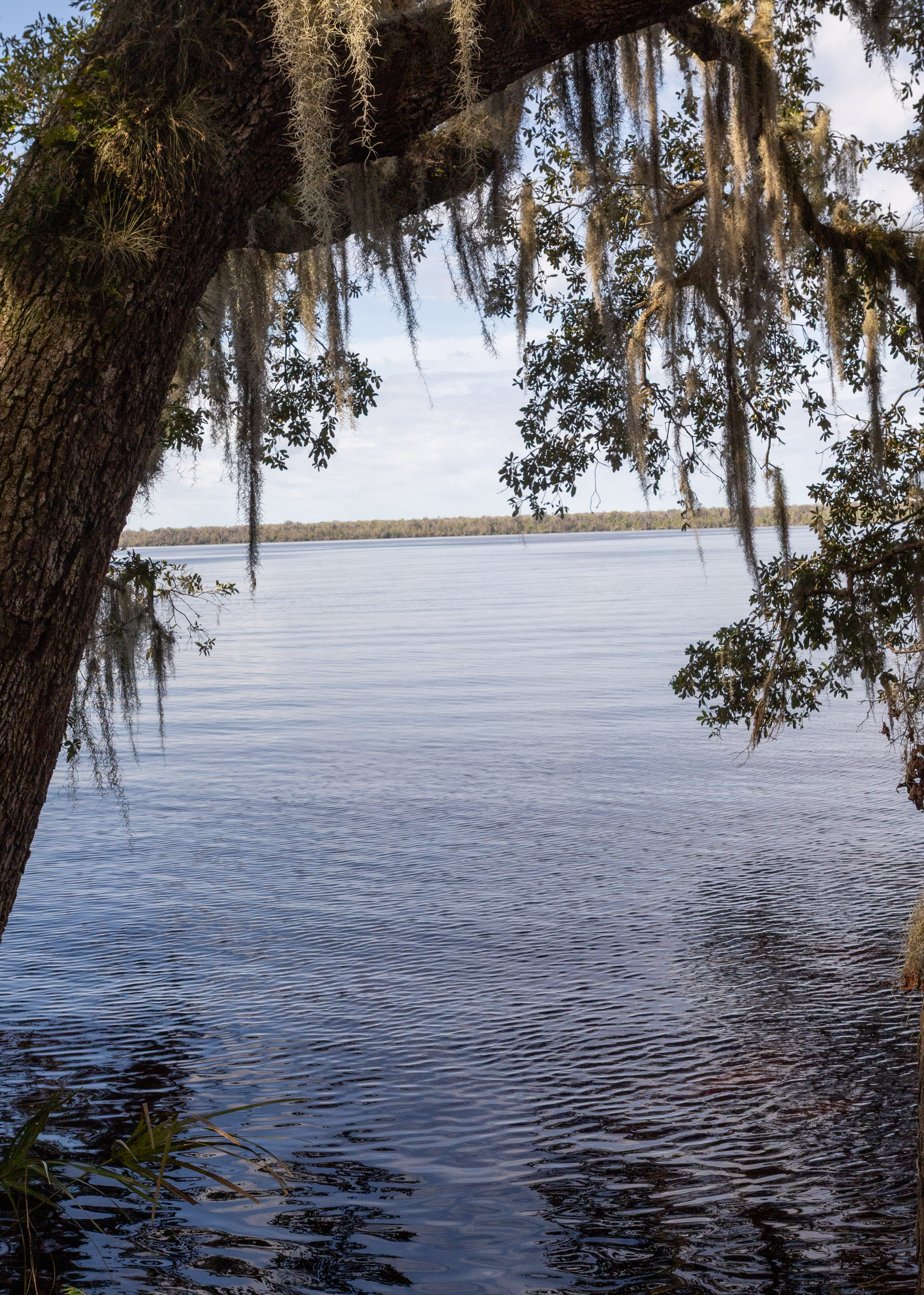
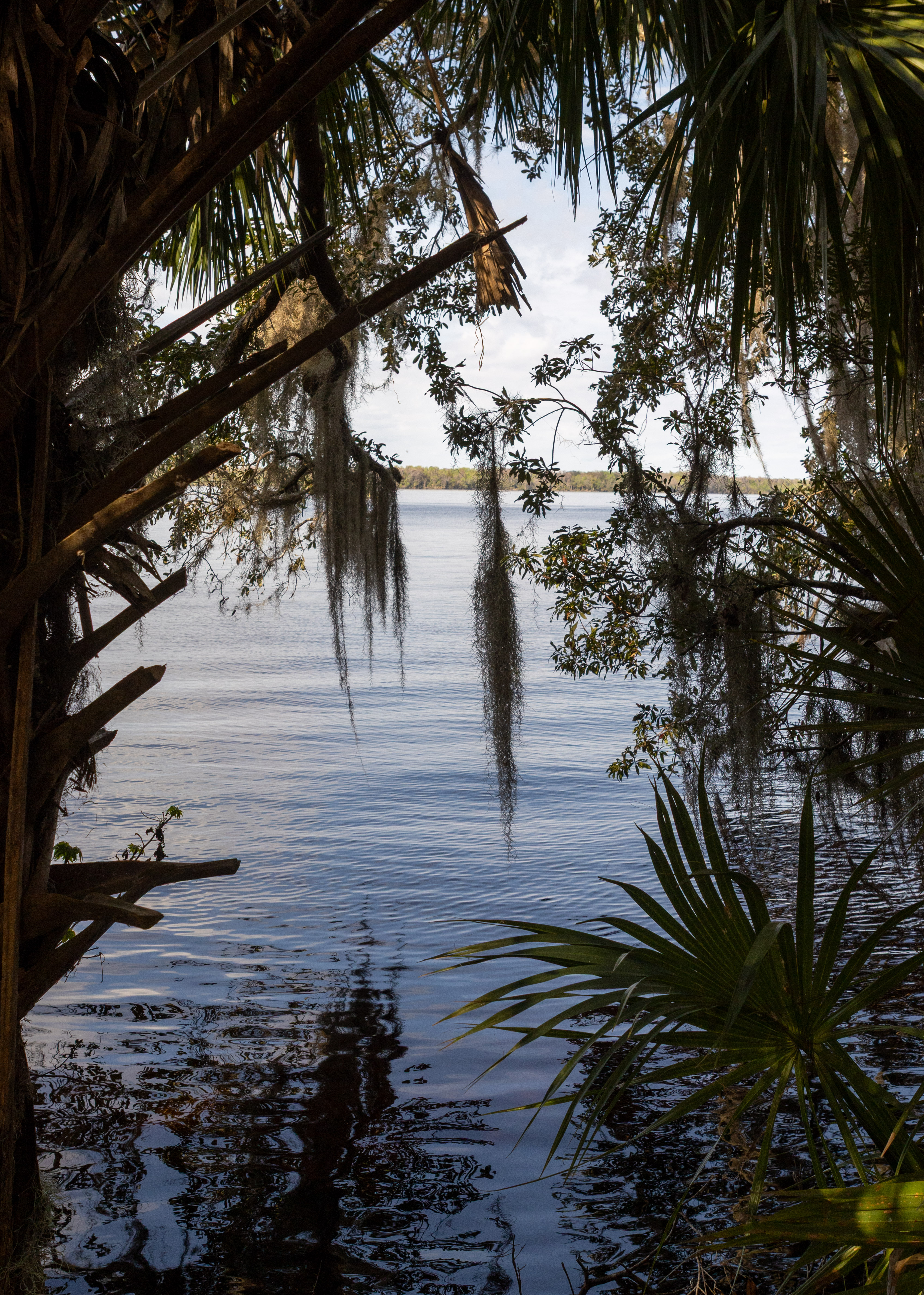
I purchased a new camera and decide to do some hikes to try to learn it and hopefully improve my photography skills.

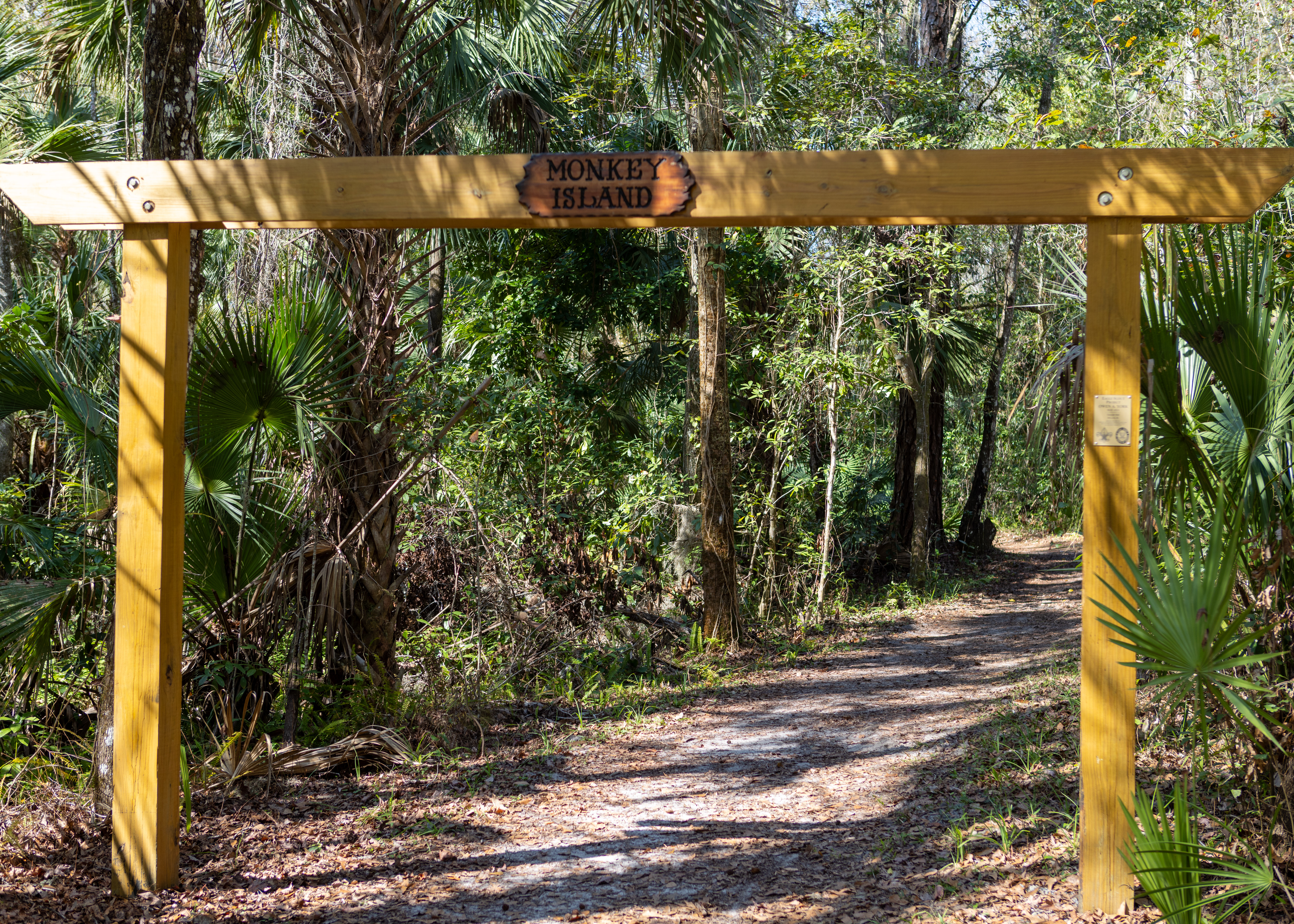
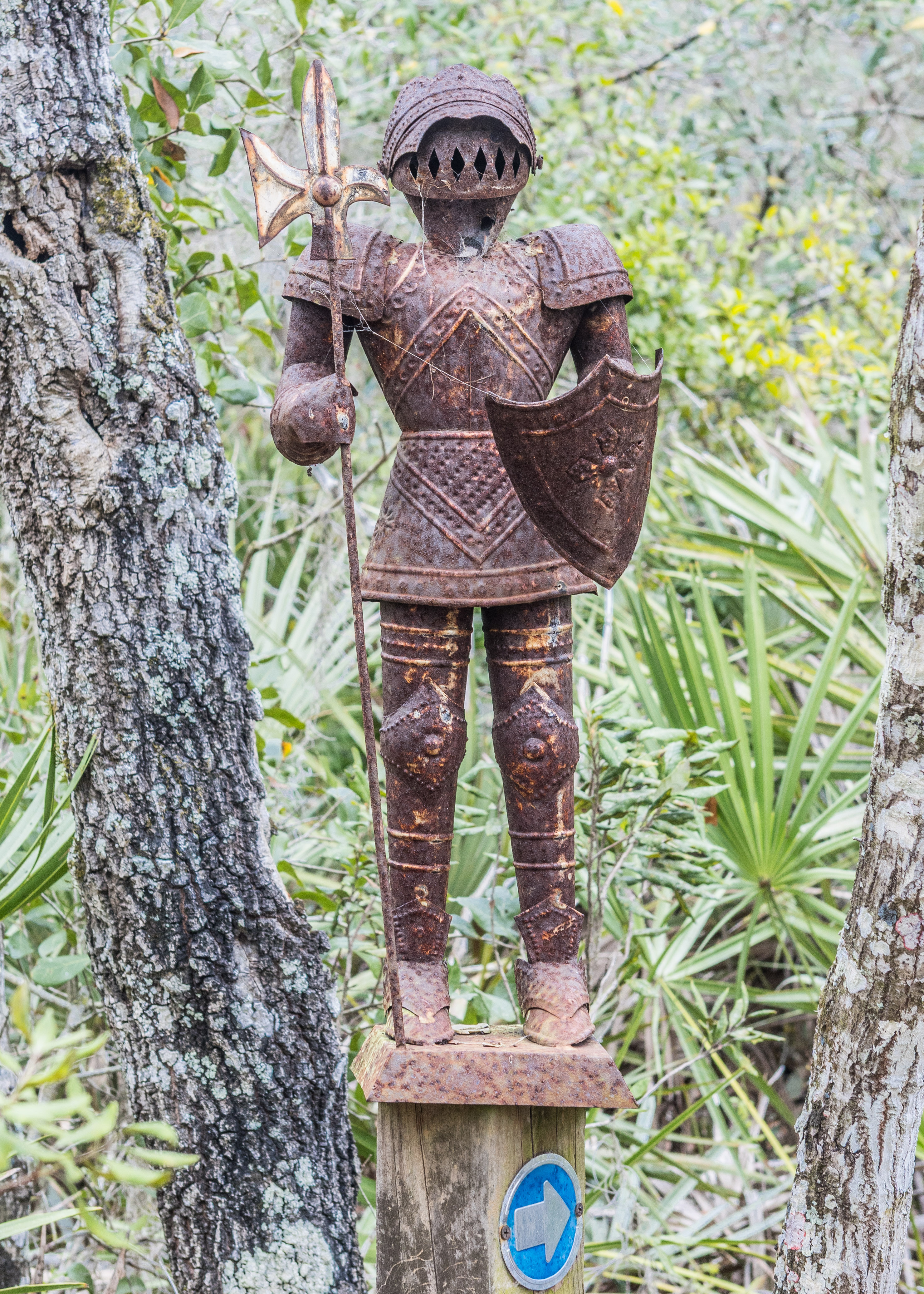
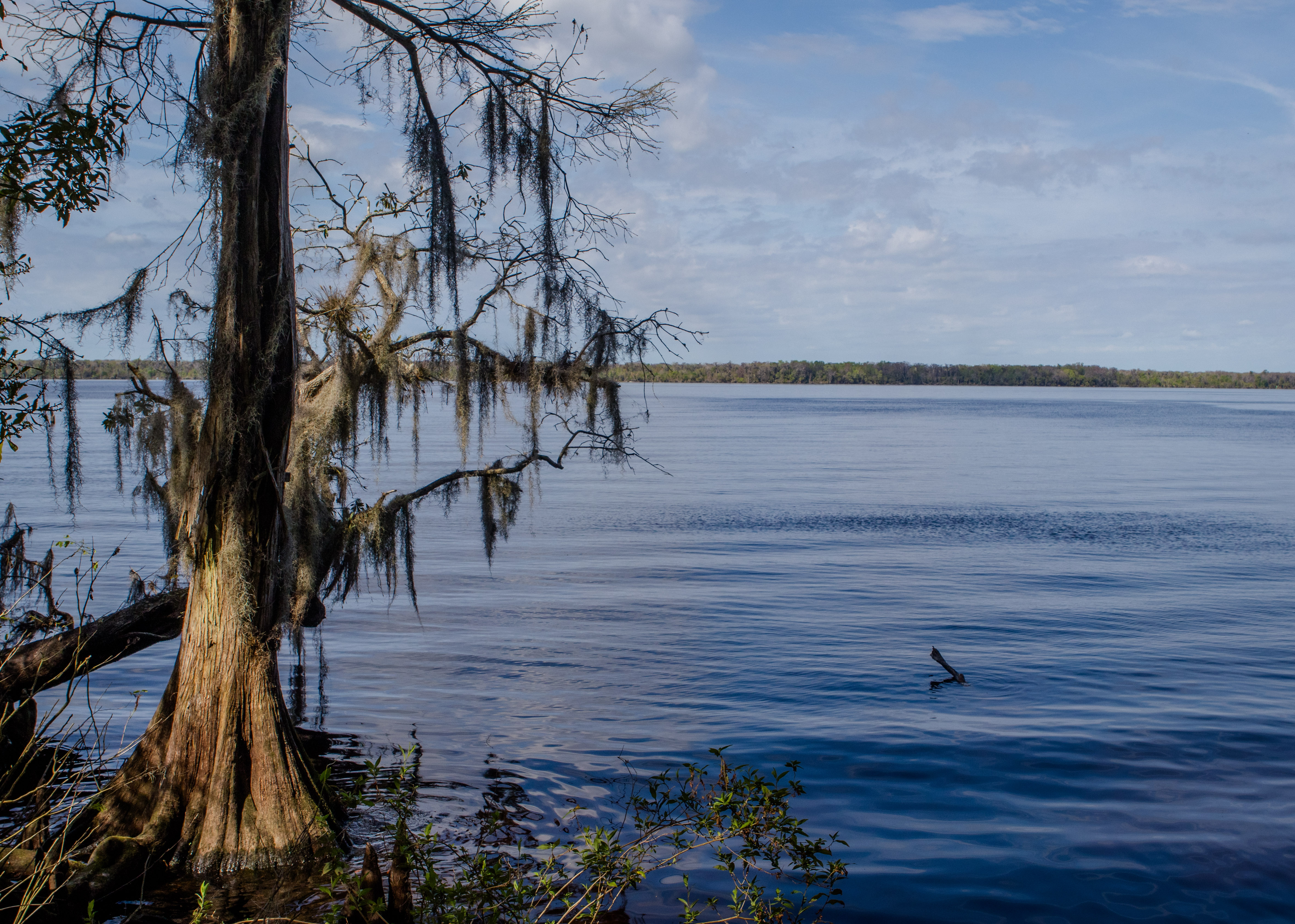
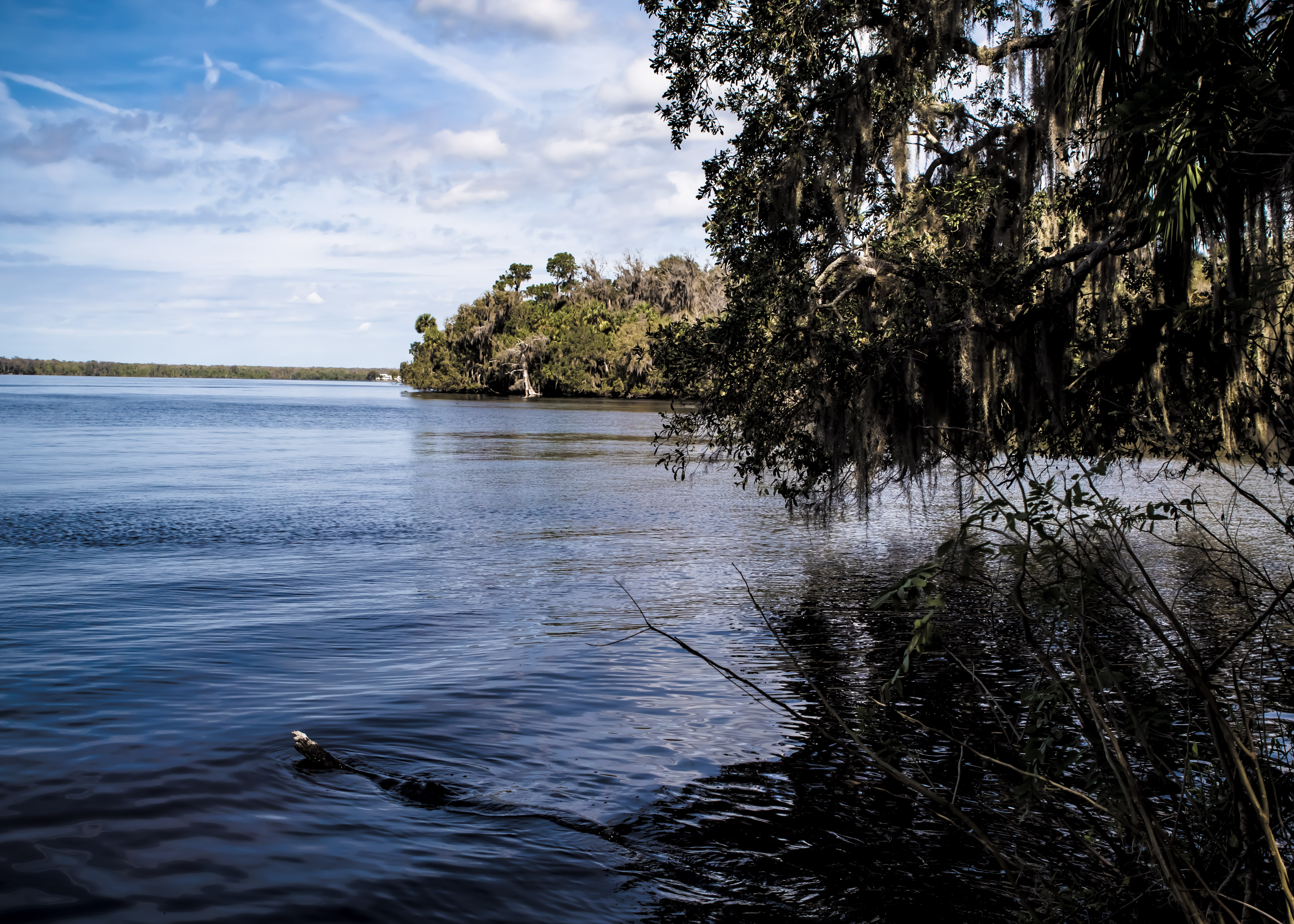
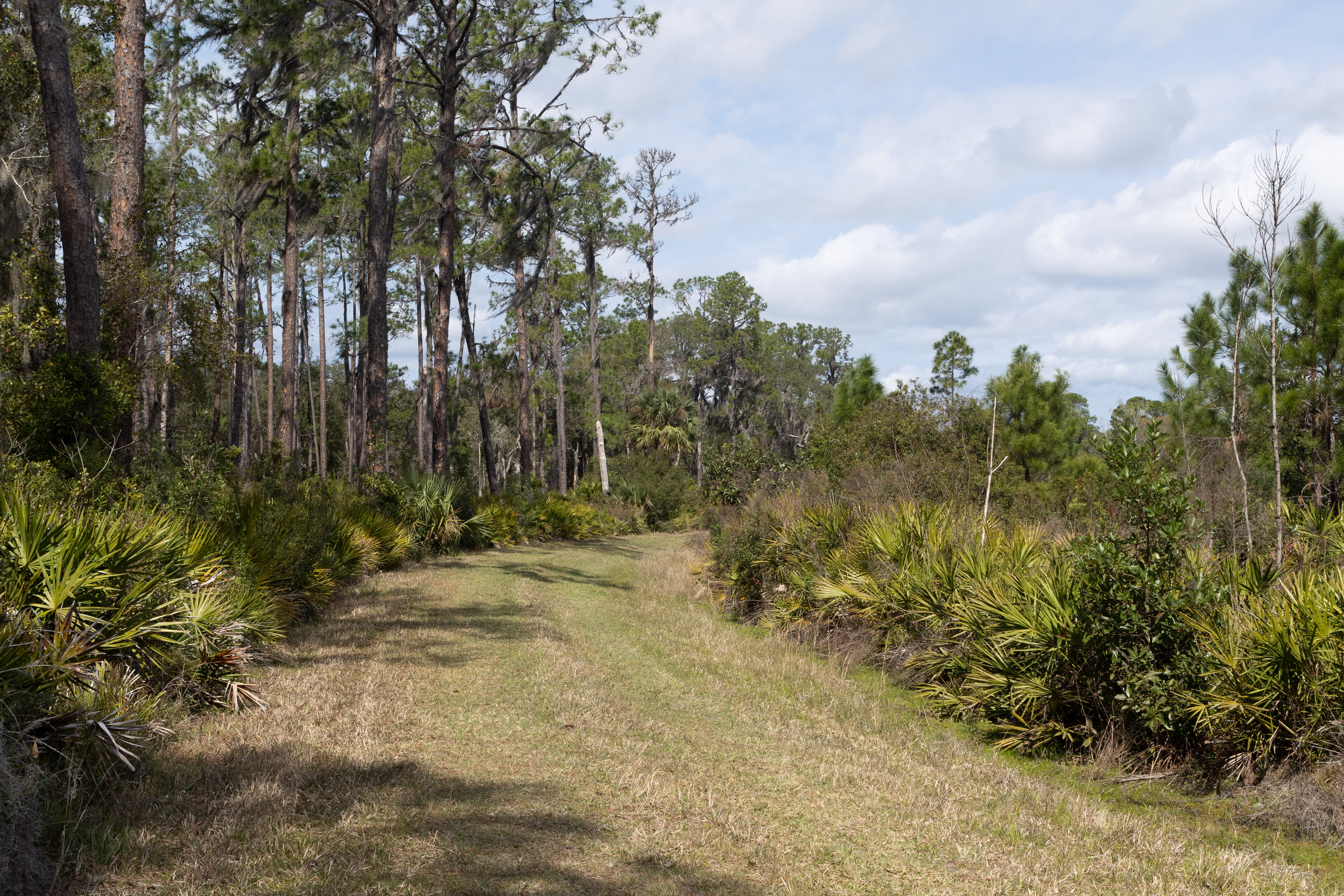
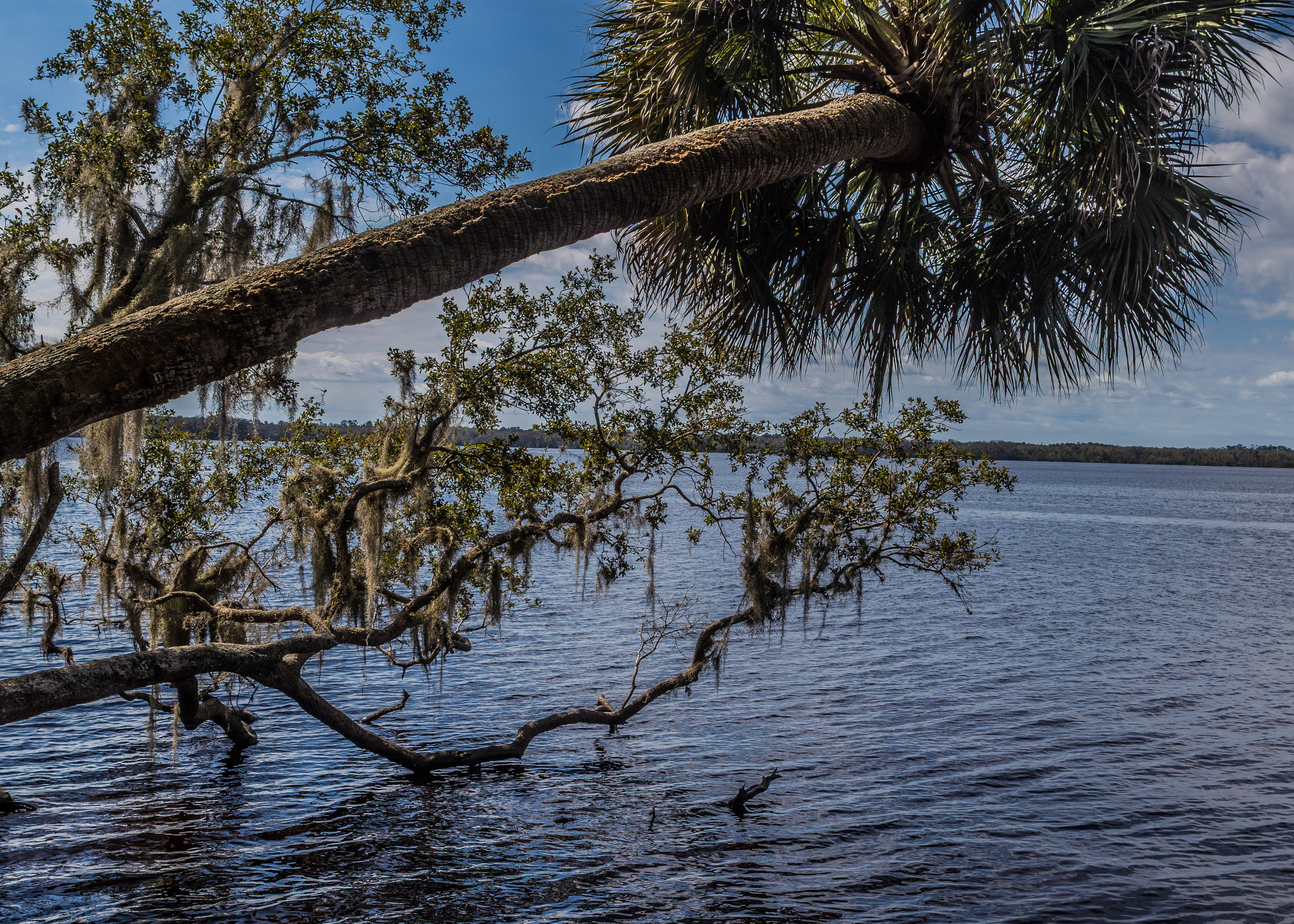
The Bluffton Interpretive Trail is a 1.2-mile loop located in the Lake George State Forest near Astor, Florida. It’s an easy trail, and is perfect for birding, camping, and fishing. The trail is open year-round and offers a peaceful experience with minimal crowds. However, dogs aren’t allowed on this trail. The trail features interpretive markers that provide insights into the area’s natural and historical significance. There’s also a boardwalk leading to a fishing pier.

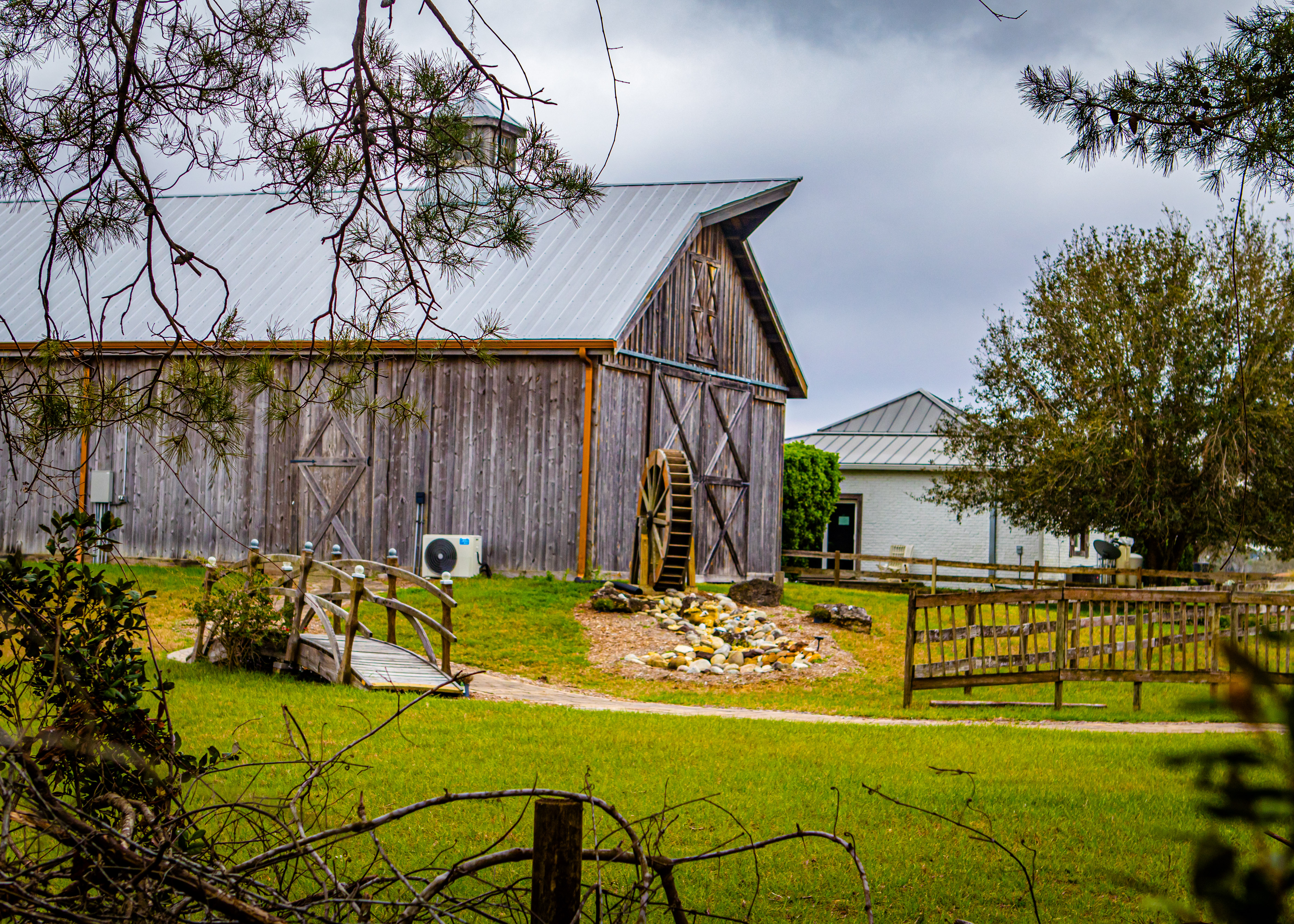
De Leon Springs State Park, located in De Leon Springs, FL, is a destination with over 6,000 years of cultural and natural history. The park features a recreational swimming area with crystal-clear 72-degree spring water, trails through lush subtropical forests, and a fascinating history tied to the Mayaca Indians and early settlers. Unfortunately do to recent hurricanes the main trails were only partially open but still enjoyable. The park also offers a unique experience at the Old Sugar Mill Pancake House, where you can make your own pancakes at the table.

Doris Leeper Spruce Creek Preserve is a natural area located in Port Orange, Florida. It spans over 1,600 acres and offers a variety of outdoor activities, including hiking, kayaking, birdwatching, and fishing. The preserve is named after Doris Leeper, an artist and environmentalist who played a significant role in its conservation. One of the highlights of the park is the 536-foot-long boardwalk that leads to an observation tower, providing breathtaking views of the surrounding wetlands and Spruce Creek. There are also several trails, such as the Creekside Trail and the Spruce Creek Trail, which showcase the area’s diverse ecosystems.

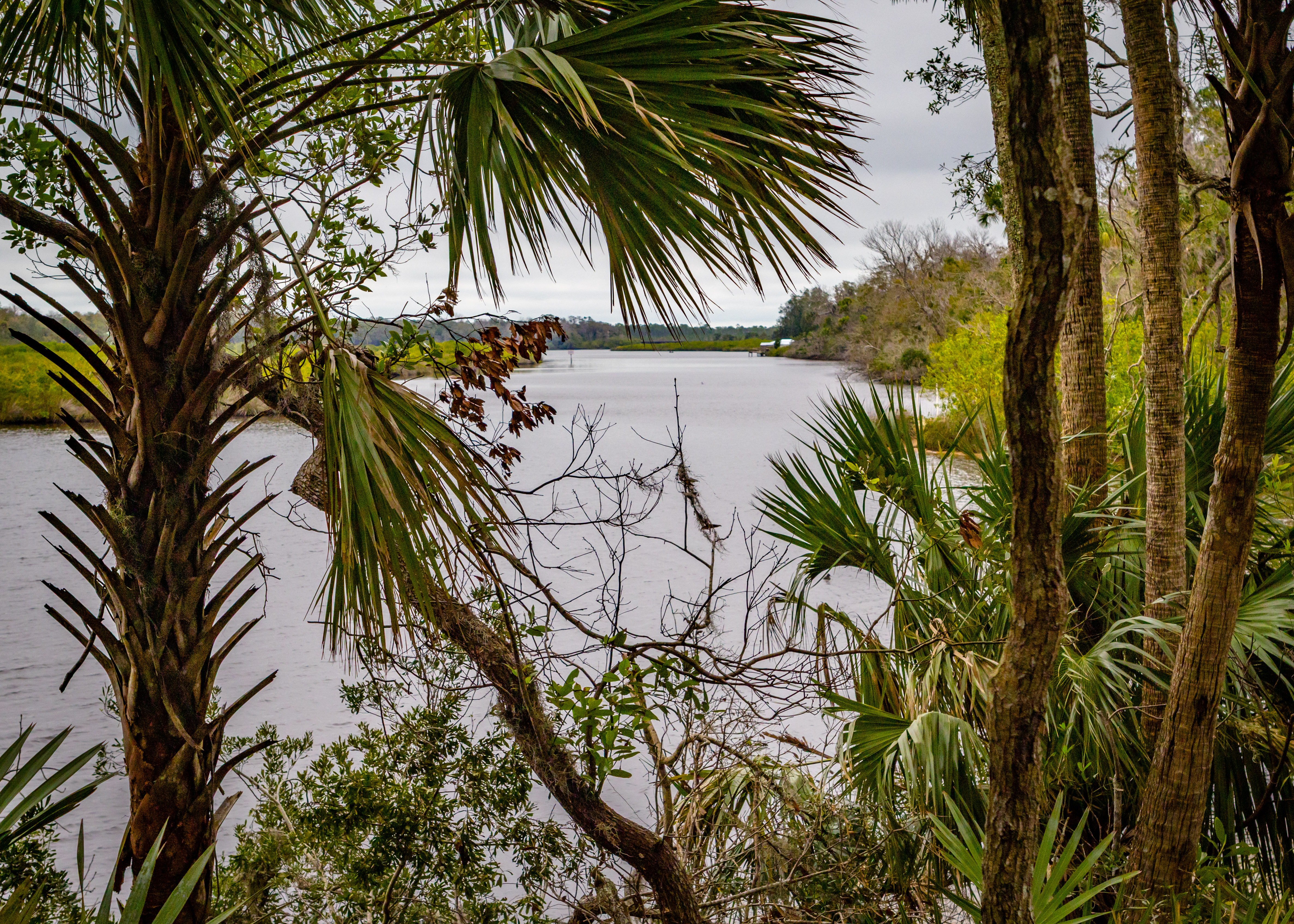
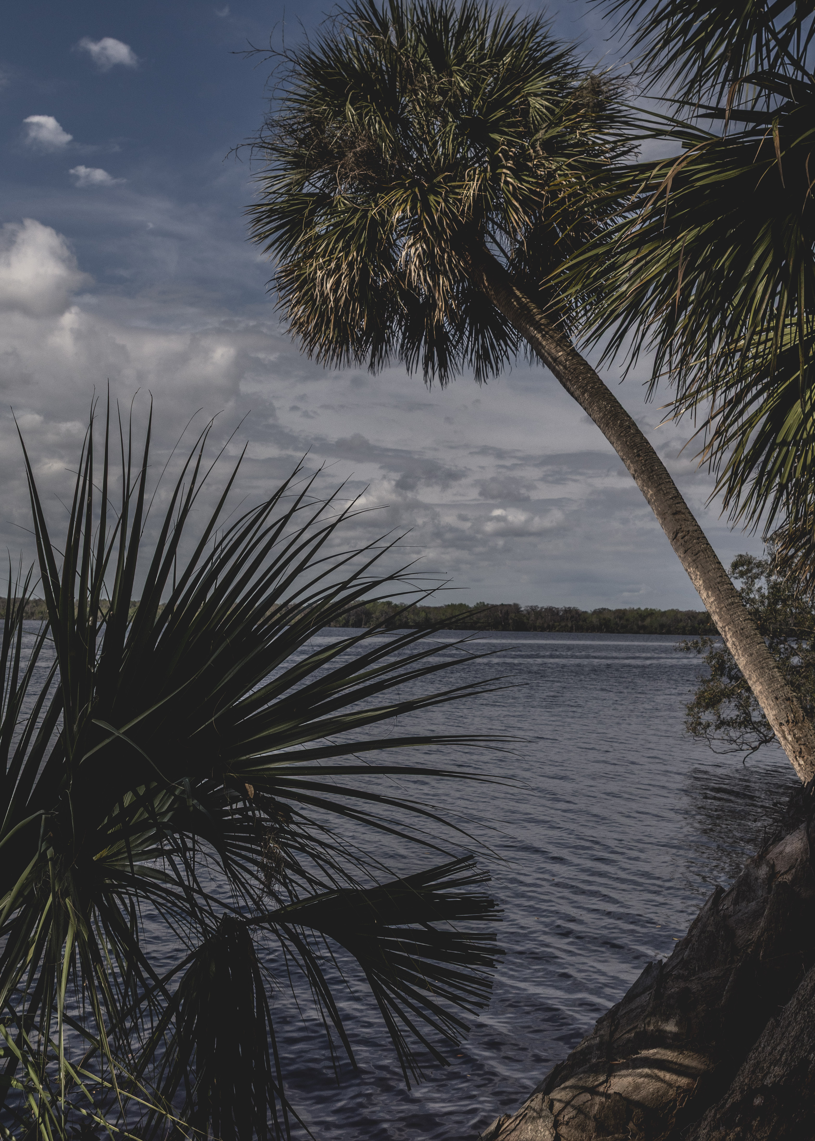
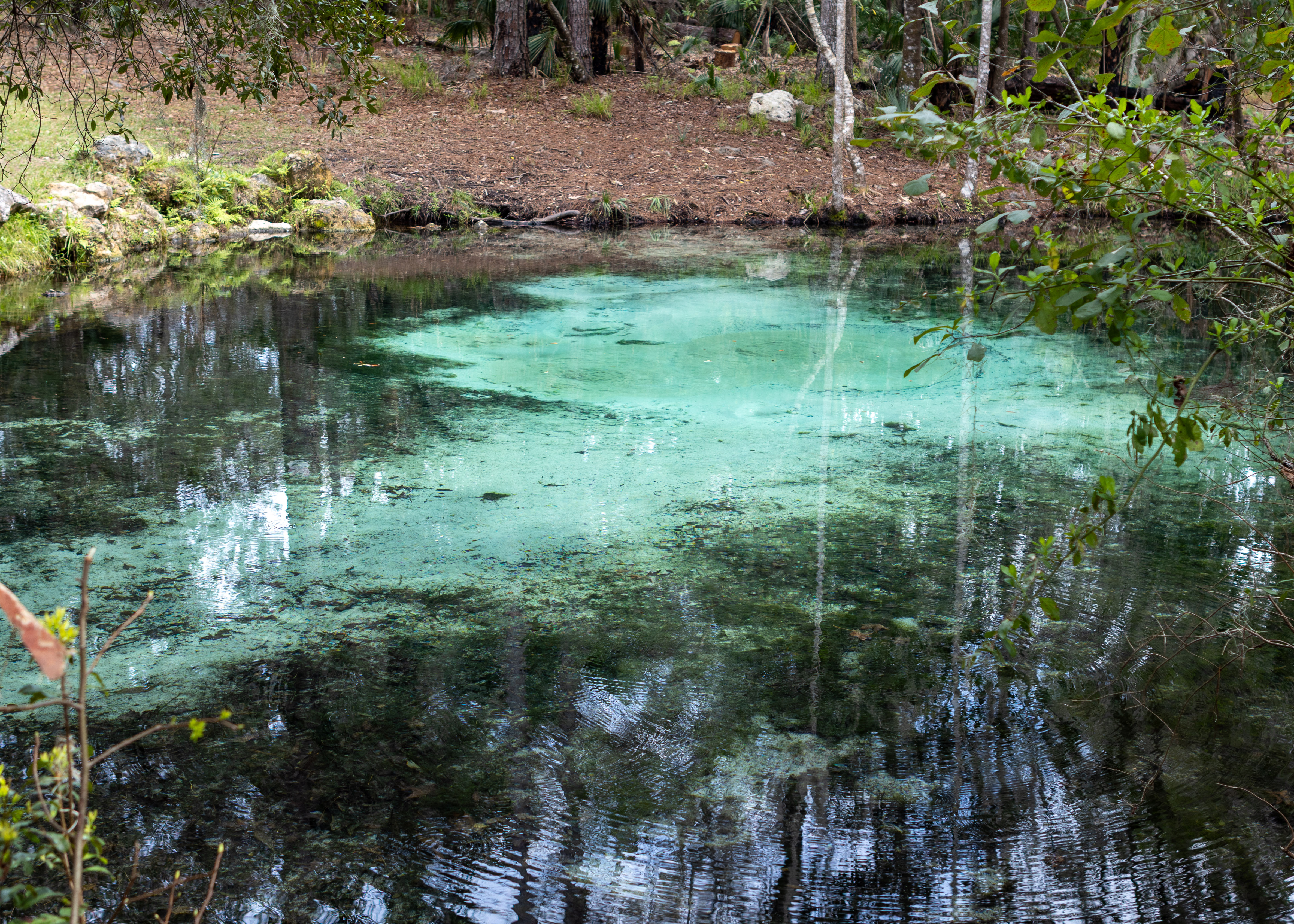
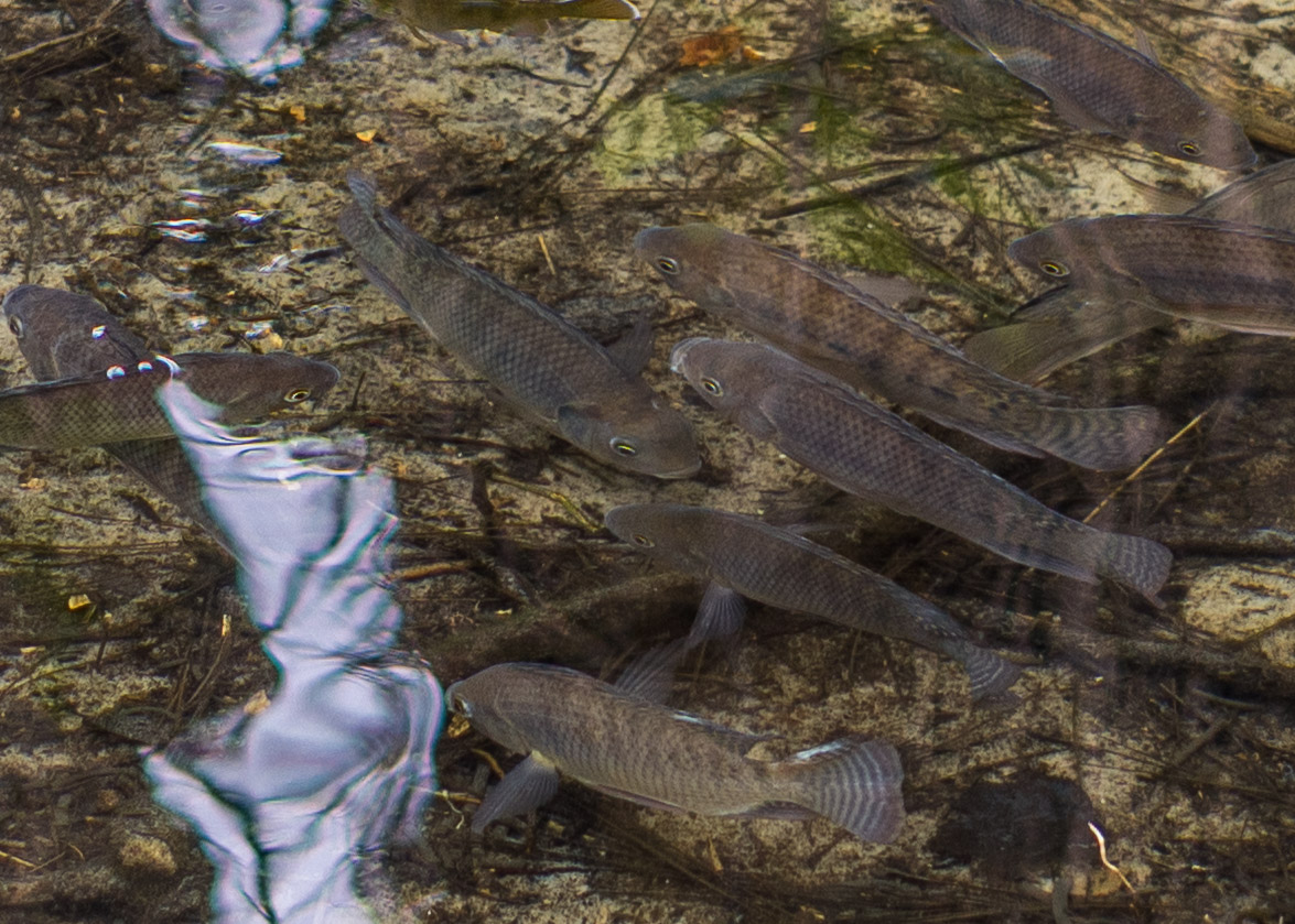
Welaka State Forest, located in northeastern Florida along the east bank of the St. Johns River, is a beautiful natural area offering a variety of outdoor activities. It spans over 2,287 acres and features diverse ecosystems, including river swamps, pine flatwoods, and sandhills. Visitors can enjoy hiking, birdwatching, fishing, and even horseback riding, as the forest includes an equestrian campground with facilities. One of the highlights is Mud Spring, which flows clear spring water into a half-mile spring run that connects to the St. Johns River. The forest also has over four miles of river frontage, providing scenic views and opportunities for wildlife observation.
Looking forward to our next adventures in Richmond VA. and a tour of southern Japan.

2024 Cross Country Trip #11

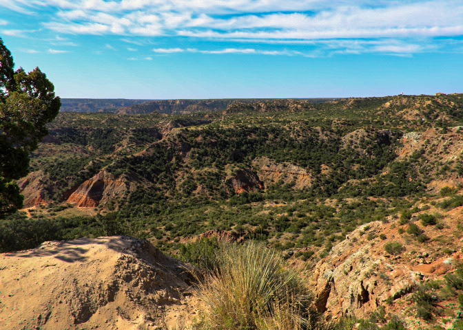
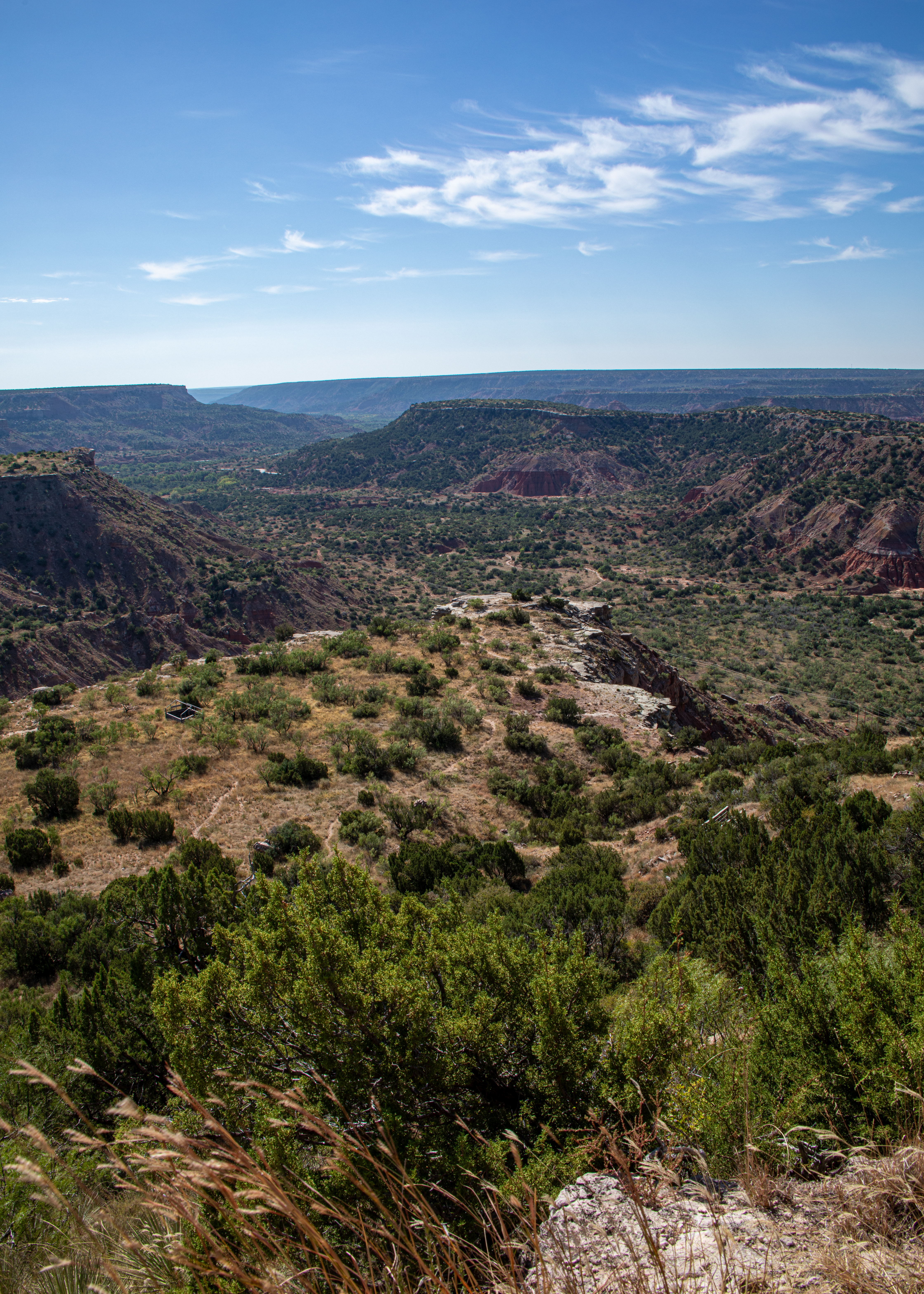
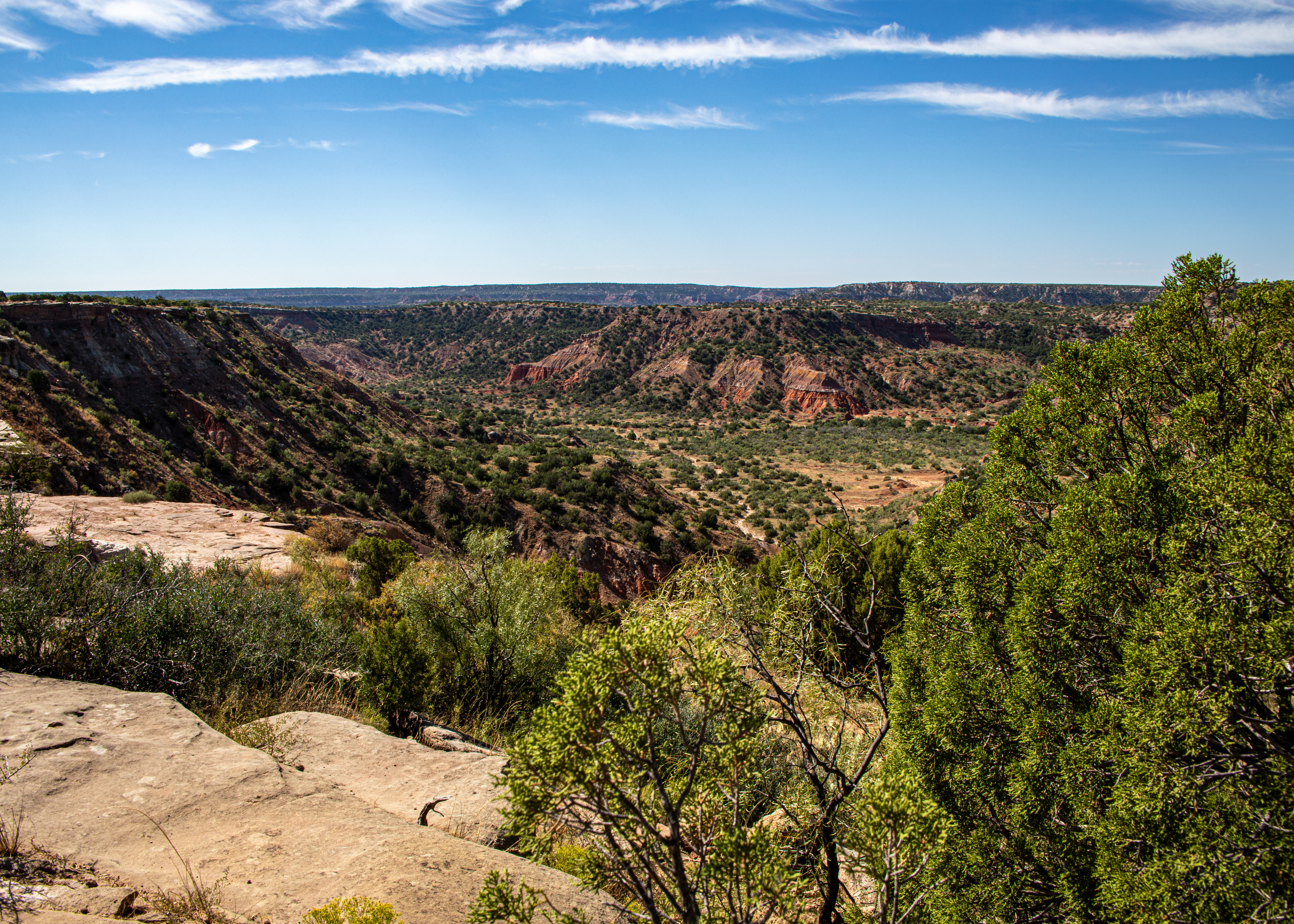
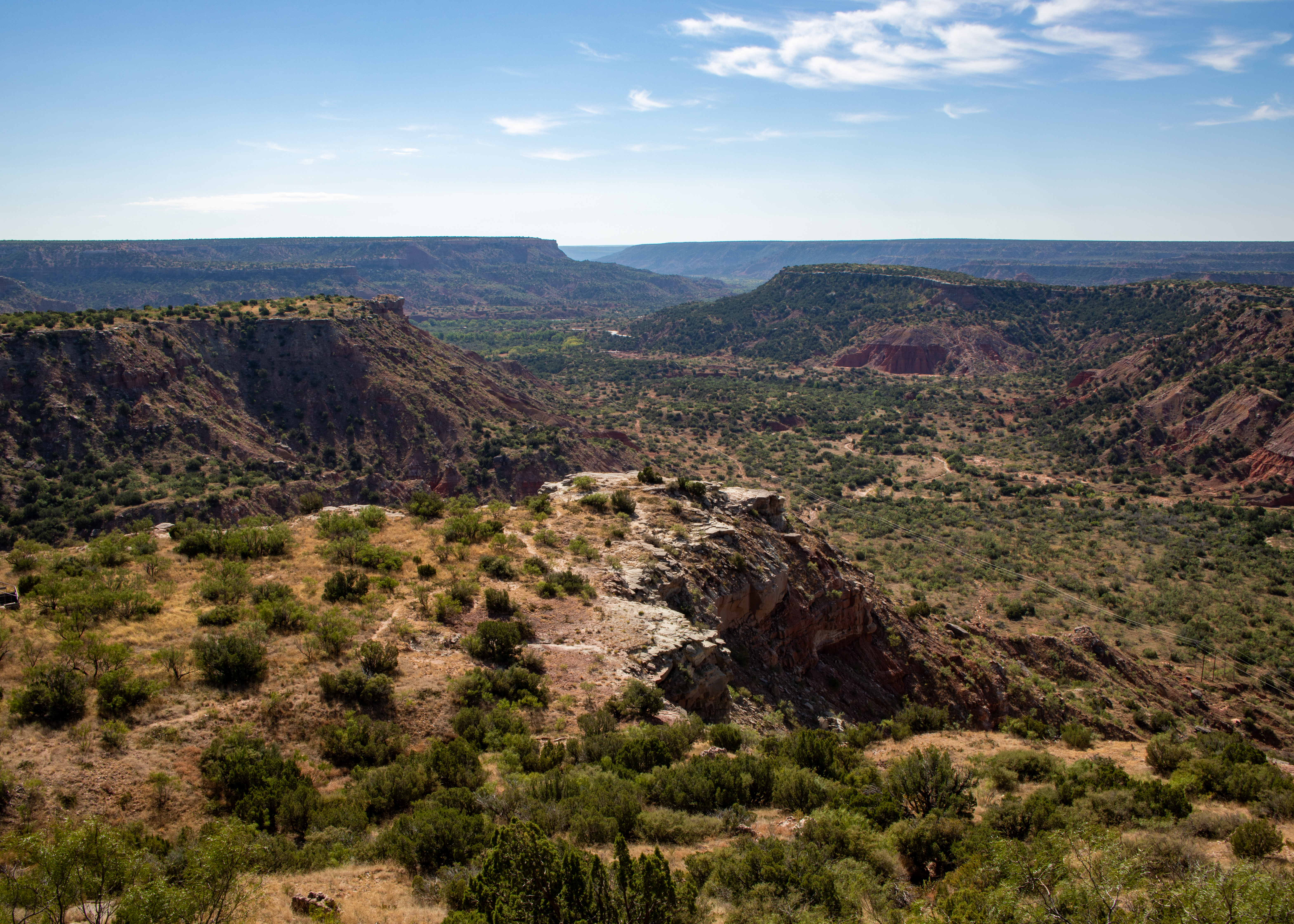
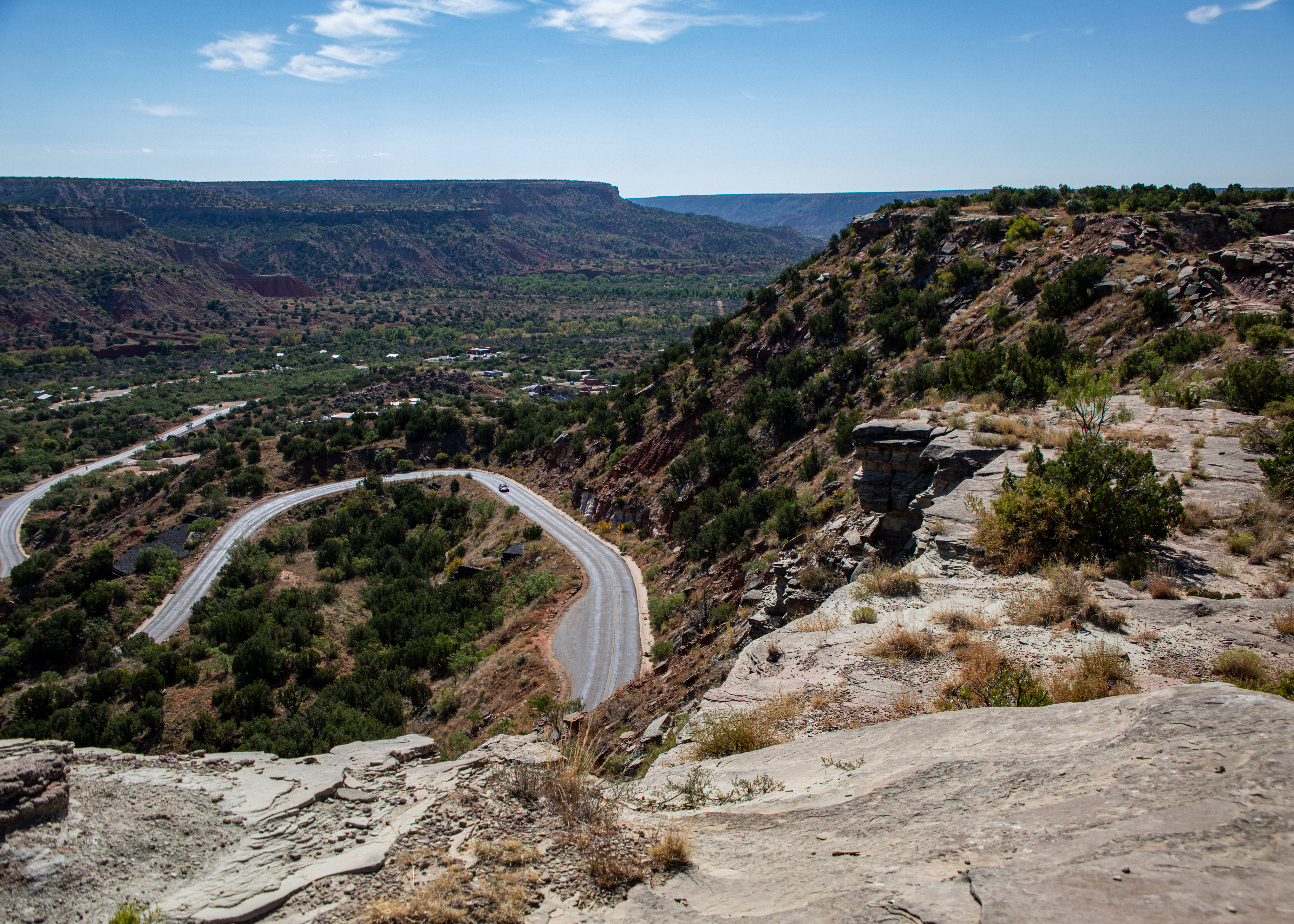
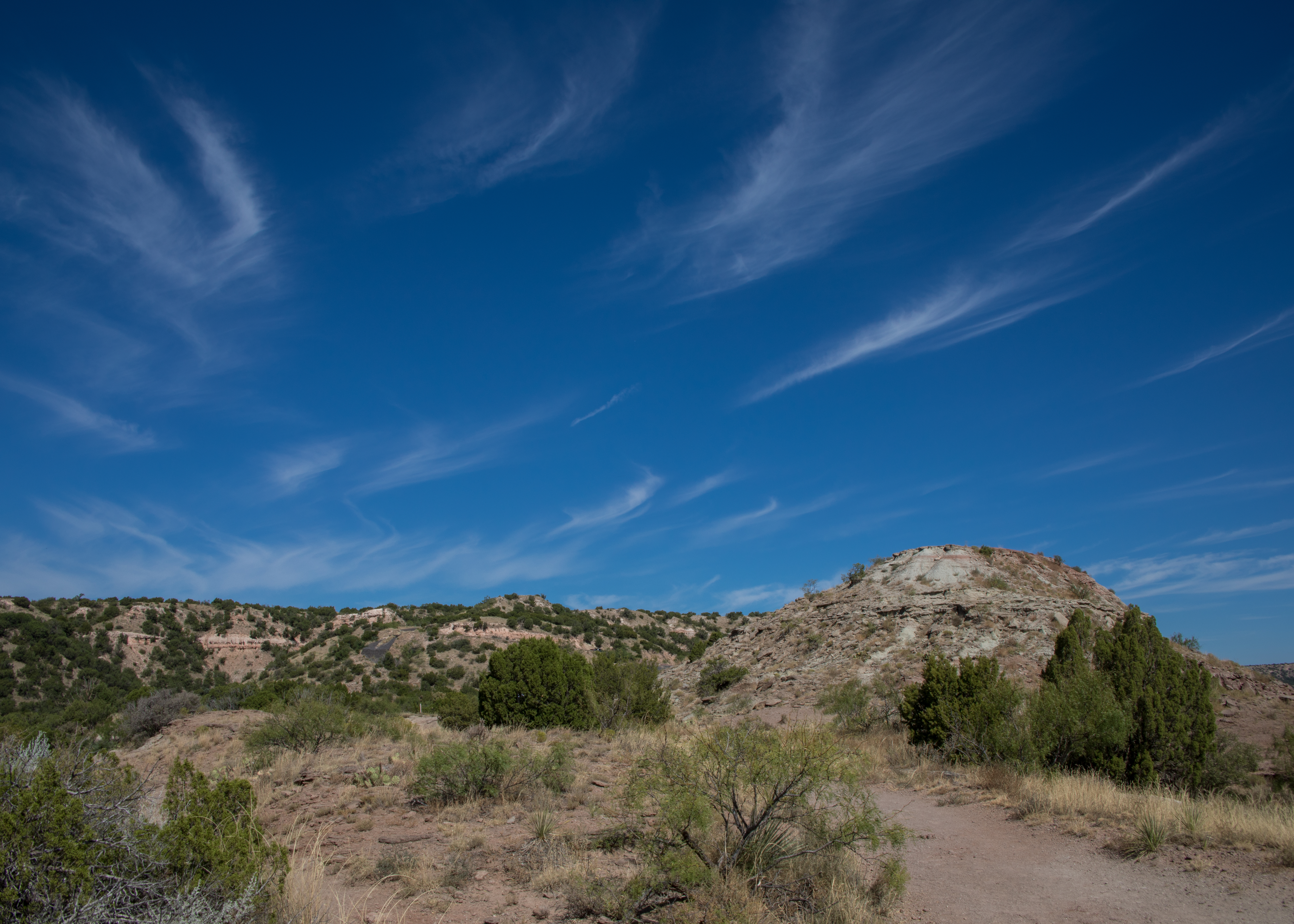
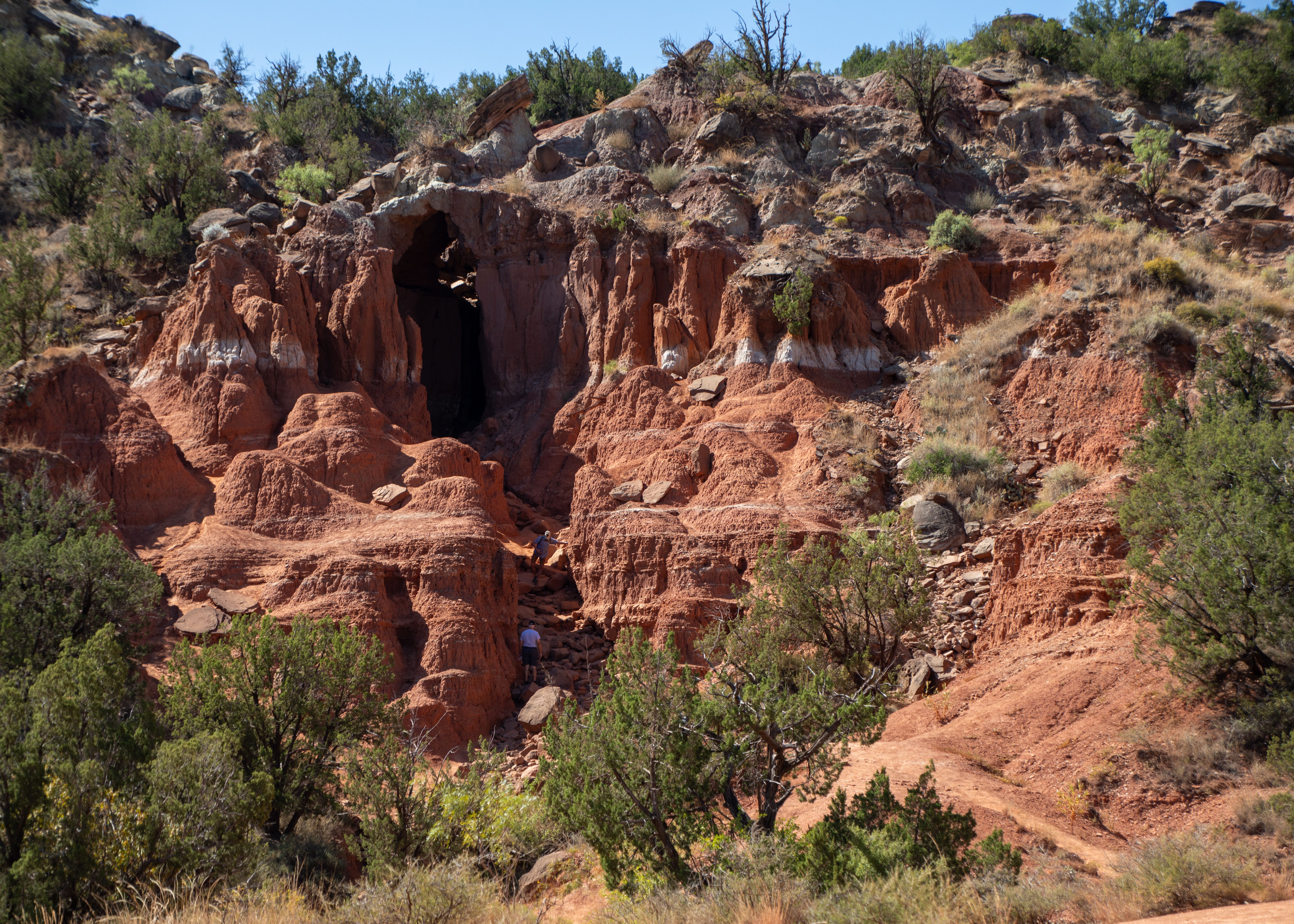
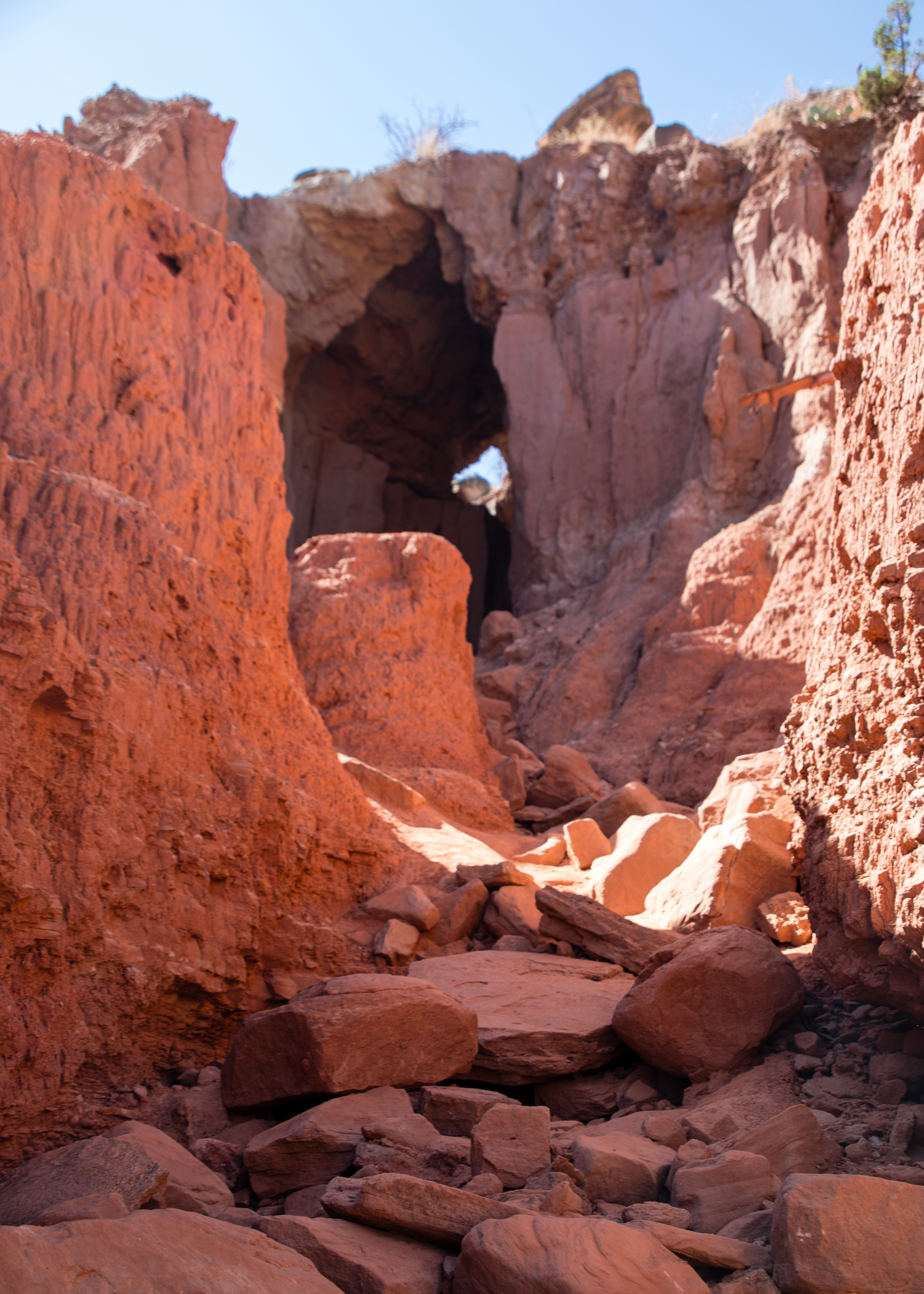
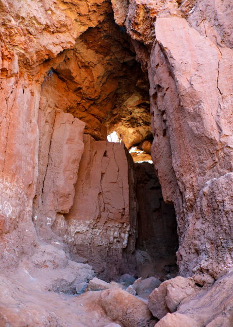
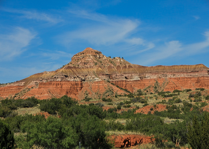
Palo Duro Canyon State Park – The second largest canyon in the country lies in the heart of the Texas Panhandle. Palo Duro is a canyon system of the Caprock Escarpment. As one of the largest canyons in the United States, it is roughly 25–40 mi long and has an average width of 6 mi, but reaches a width of 20 mi at places.  It was formed by millions of years of water erosion by the Prairie Dog Town Fork of the Red River and the West Texas wind. With a descent of some 800 feet to the canyon floor and more than 16 miles of paved road, Palo Duro Canyon State Park offers fantastic scenic views, historic sites and markers, miles and miles of hiking and biking trails.

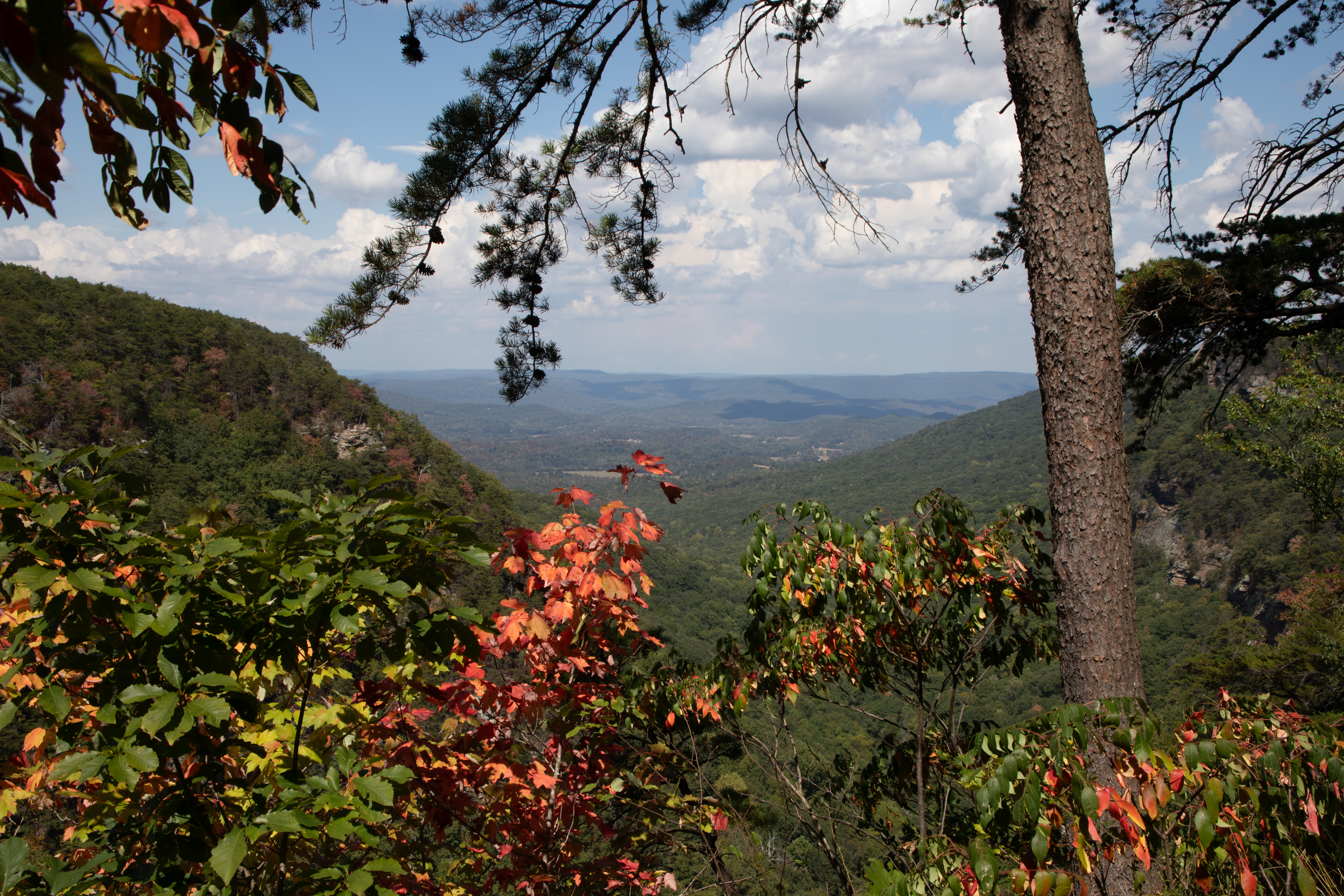
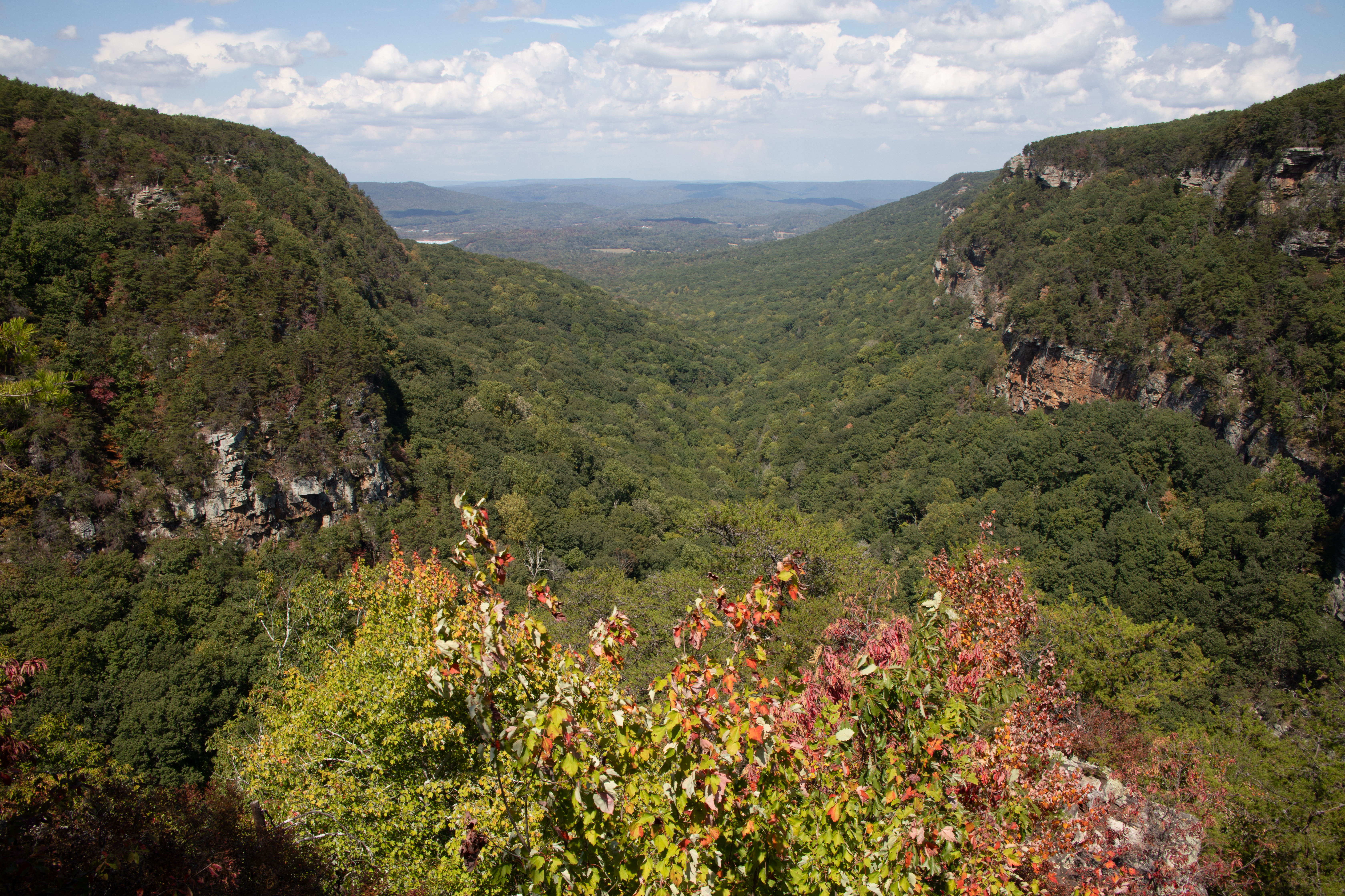
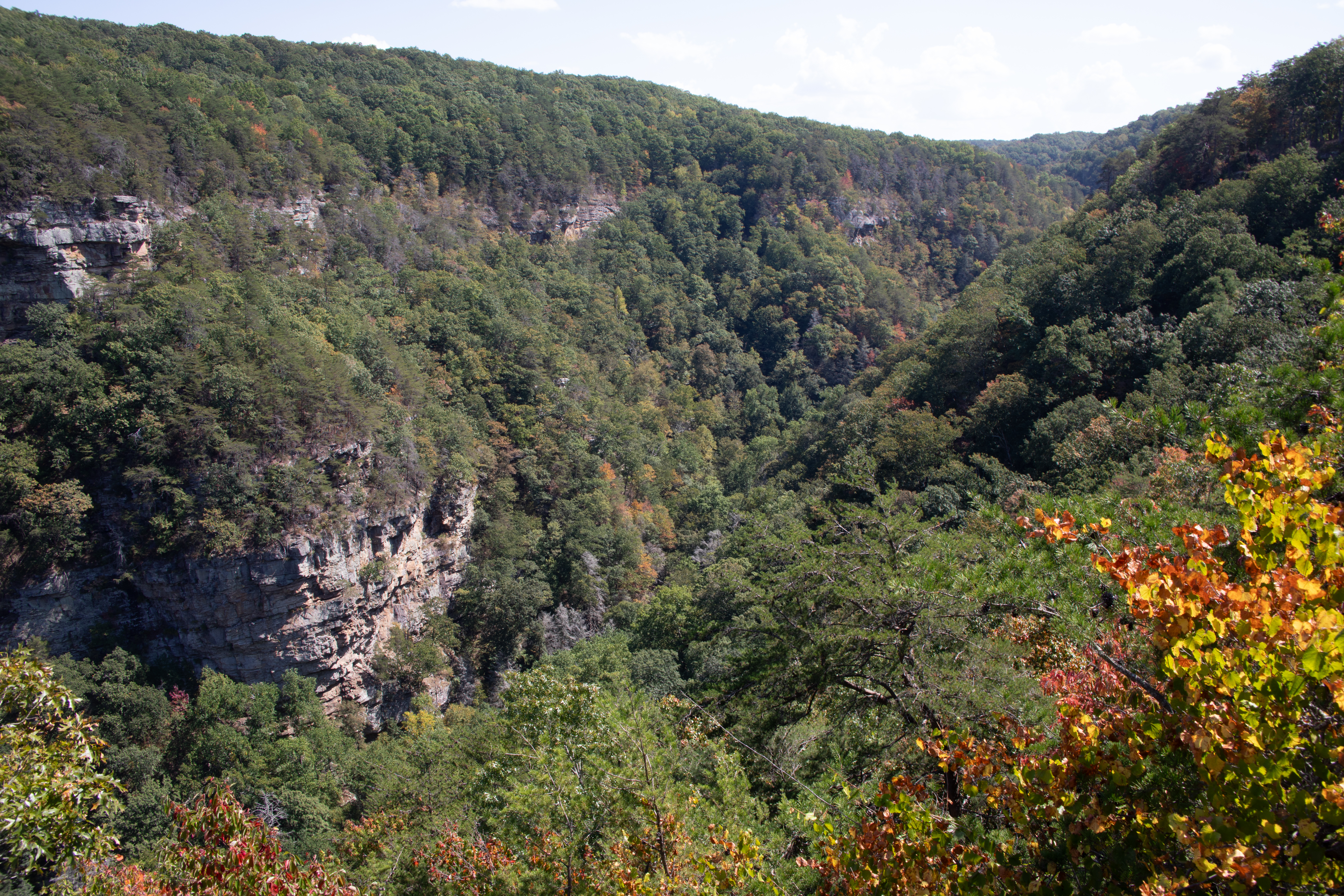
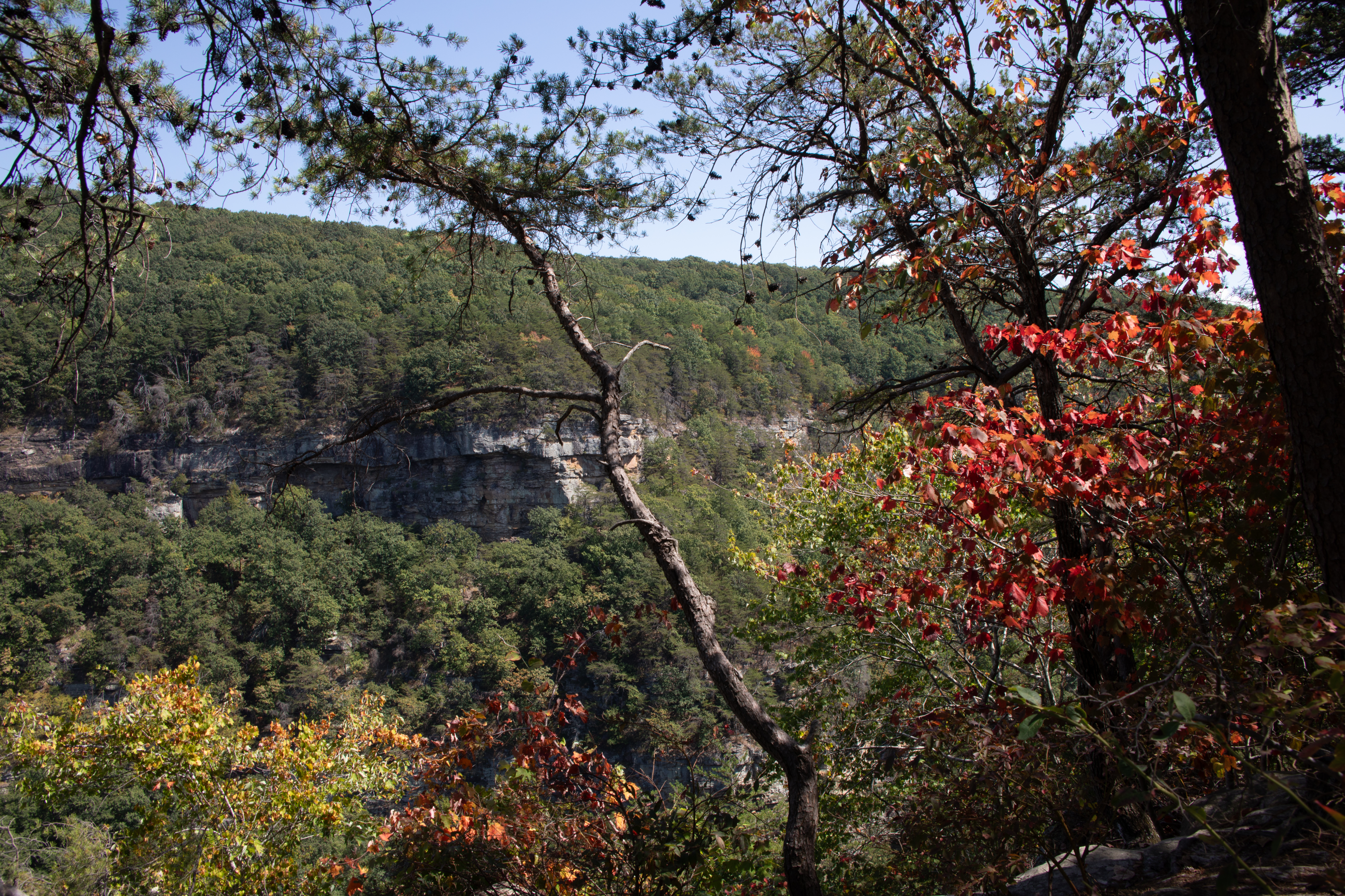
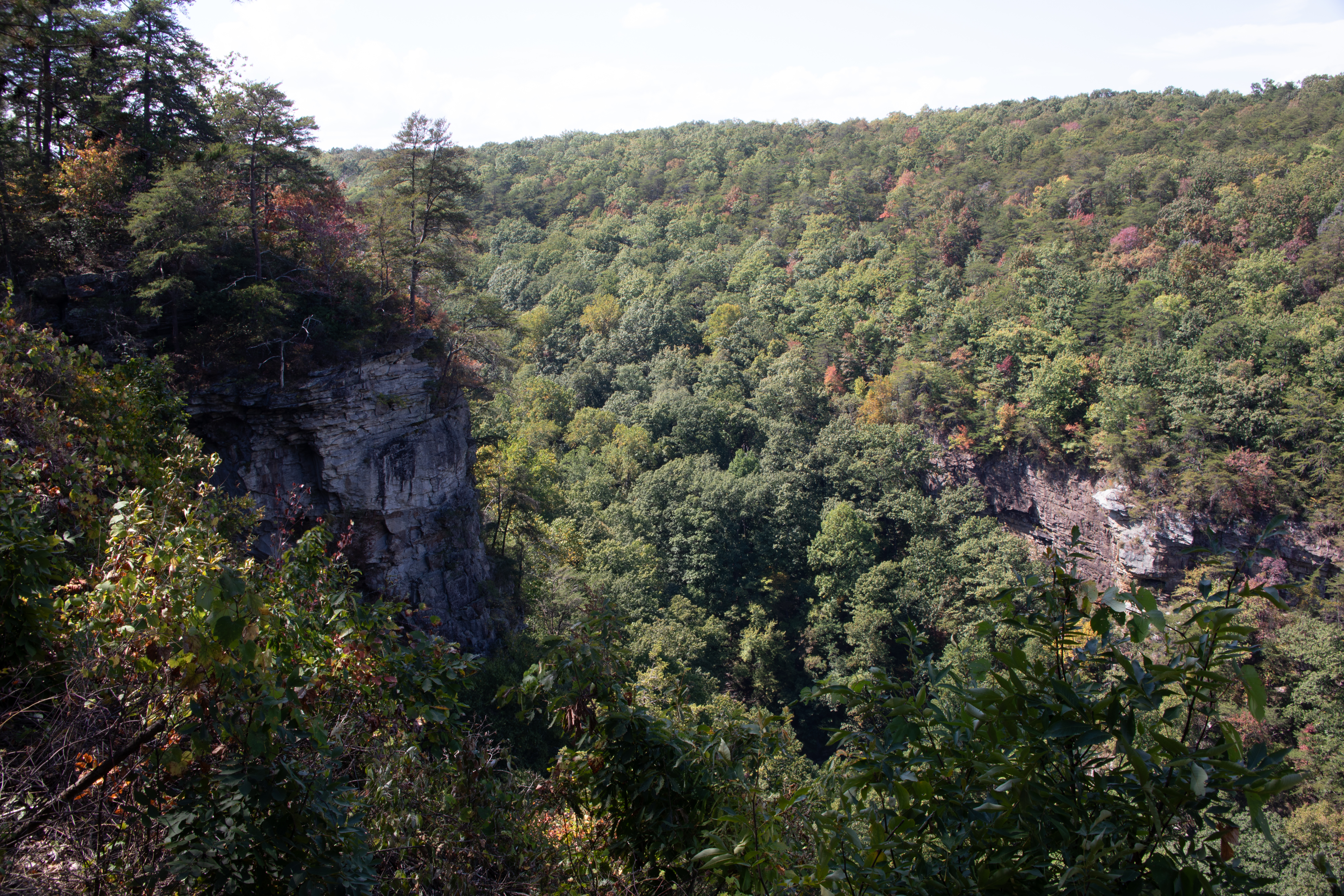
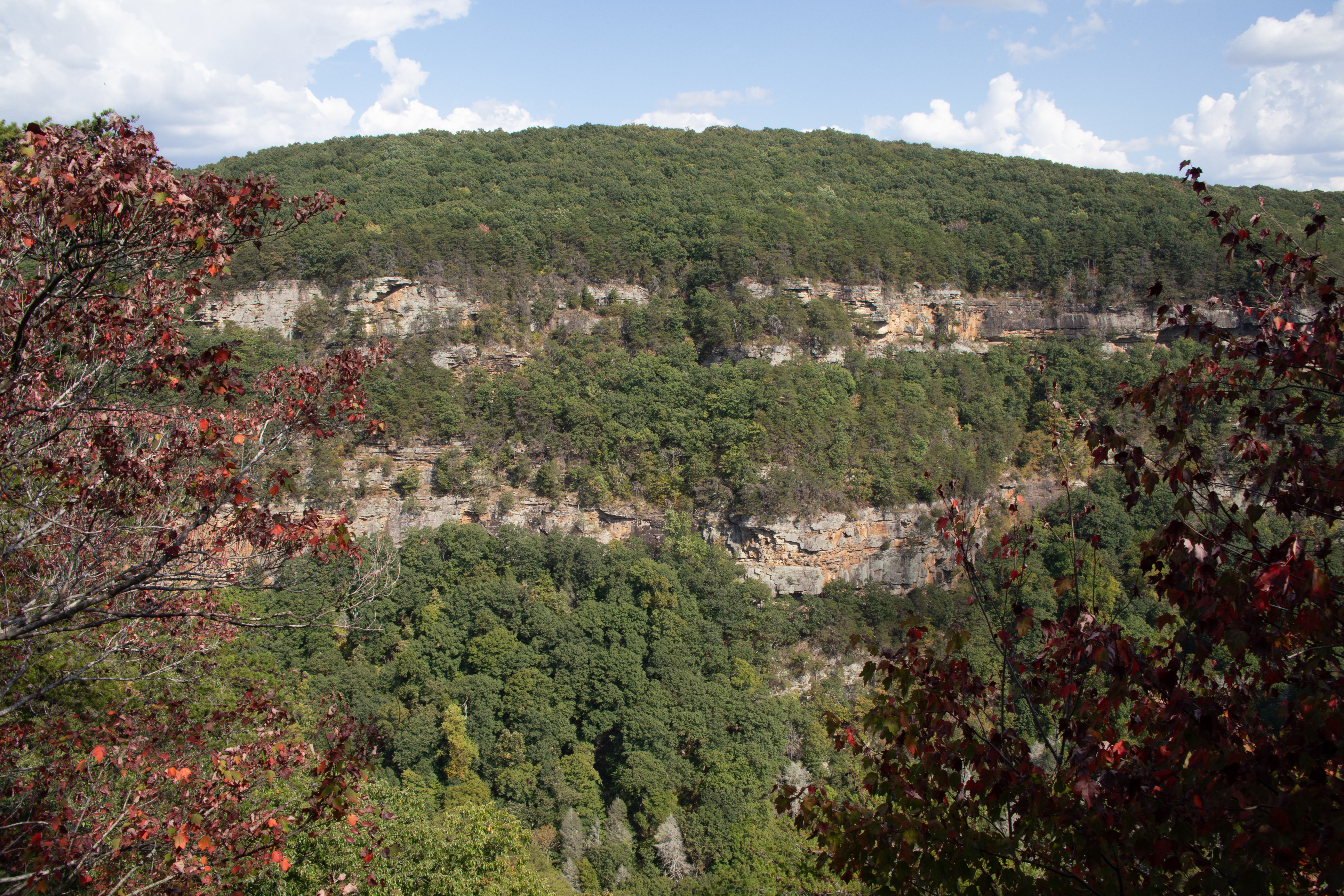
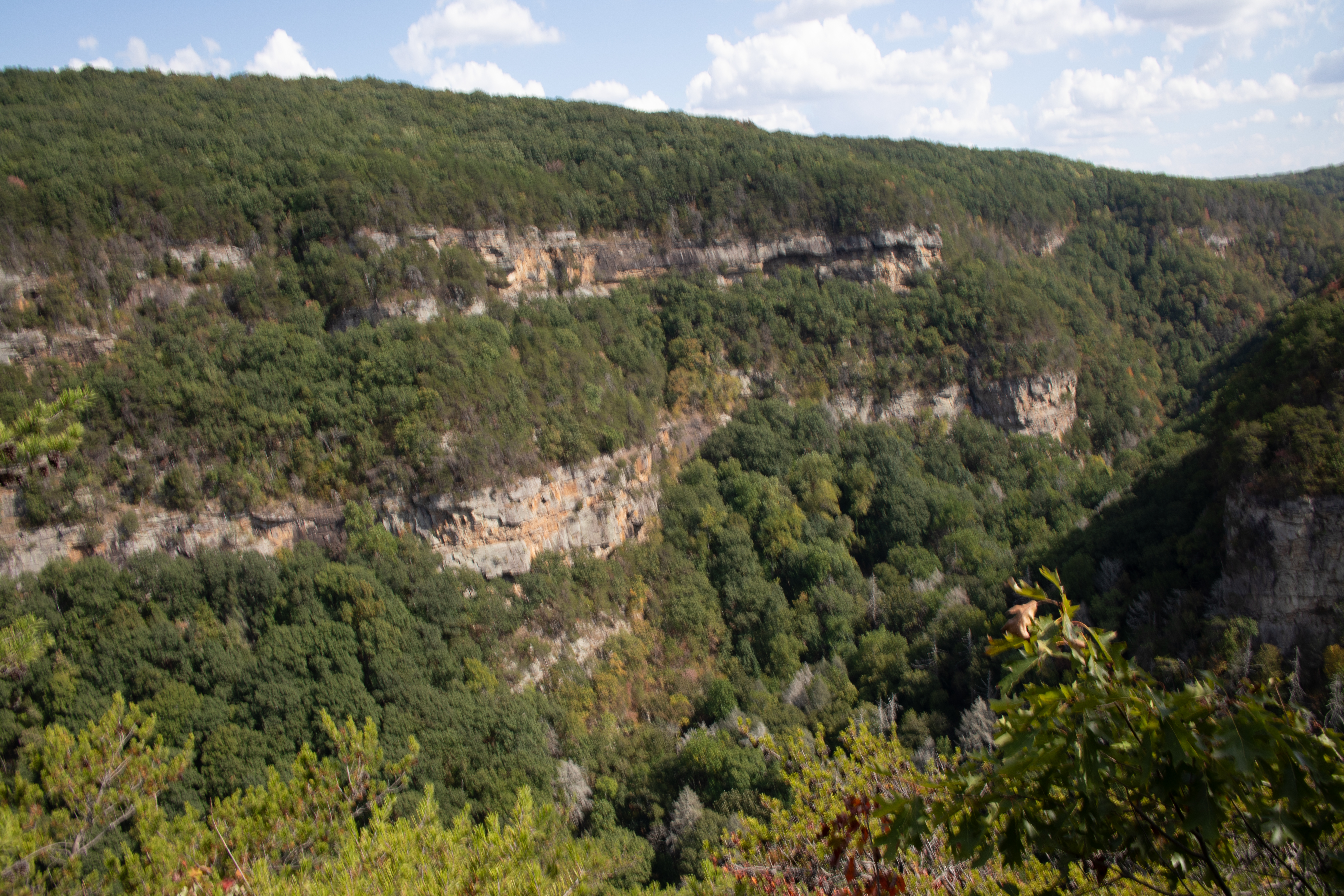
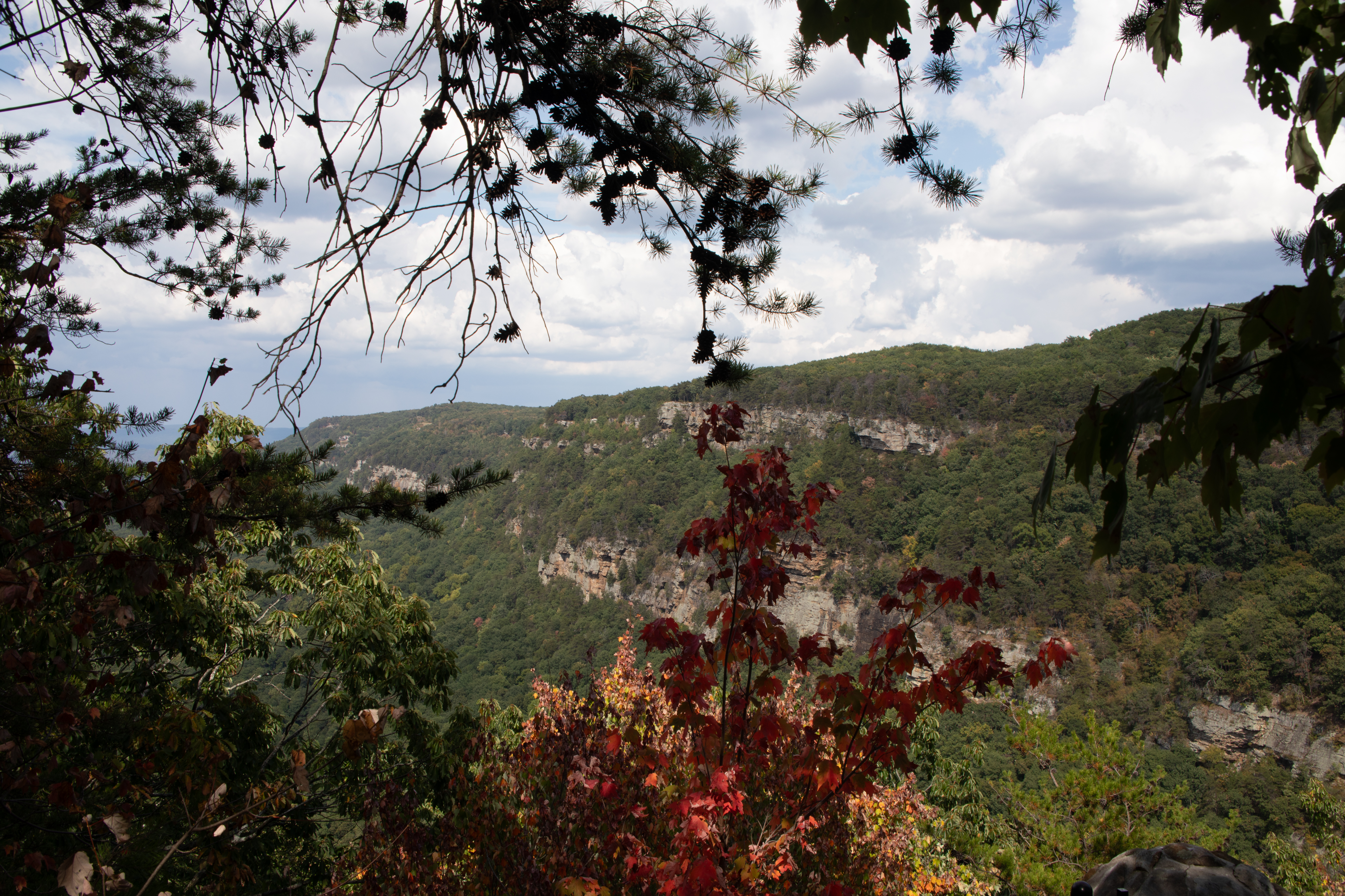
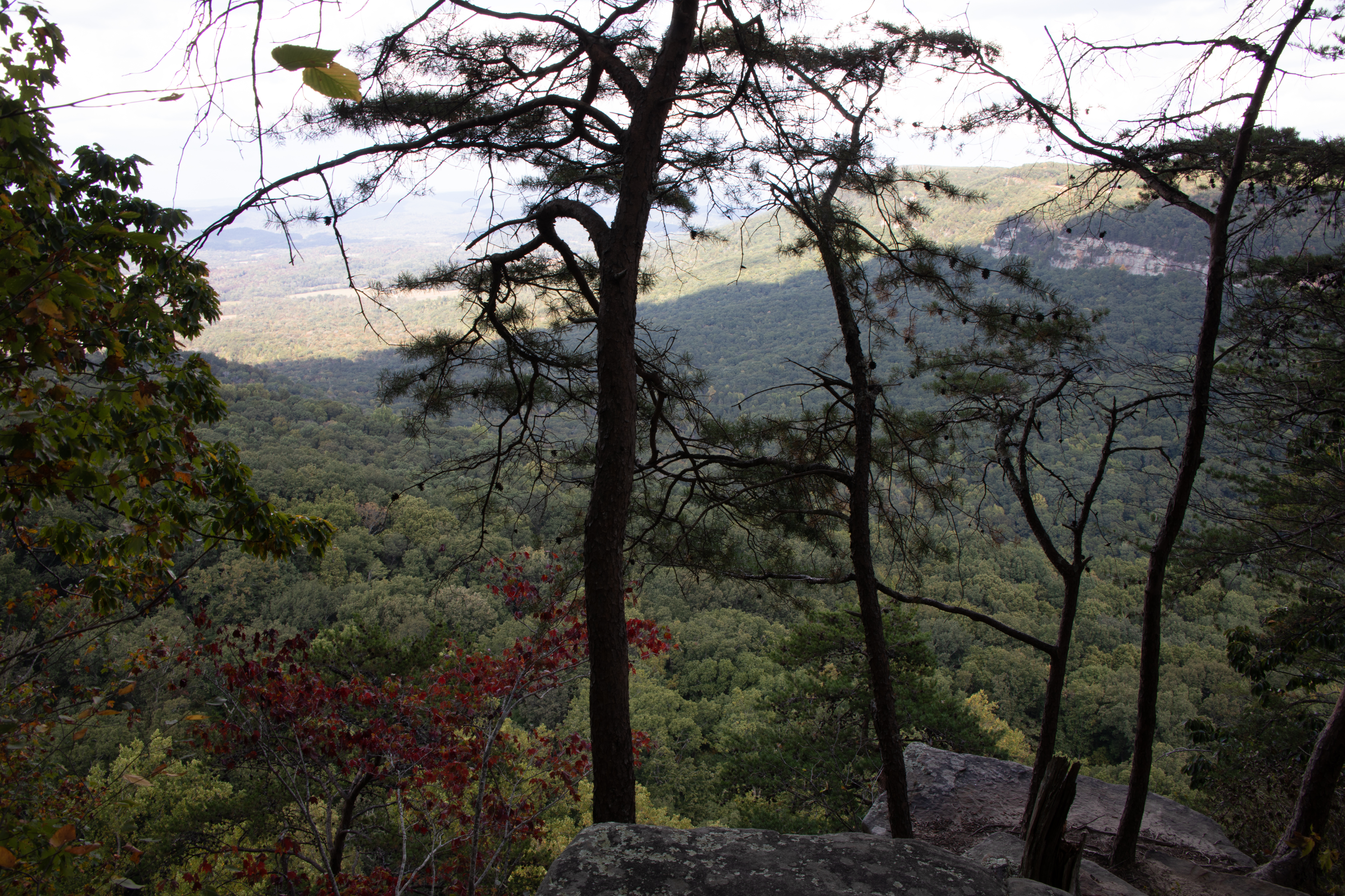
Cloudland Canyon State Park – Located on the western edge of Lookout Mountain, this is one of the most scenic parks in Georgia, offering rugged geology and beautiful vistas. The park straddles a deep gorge cut into the mountain by Sitton Gulch Creek, and elevation differs from 800 to 1,980 feet. The most spectacular view into the canyon is found along the West Rim Loop Trail a 5-mile hike which we took.

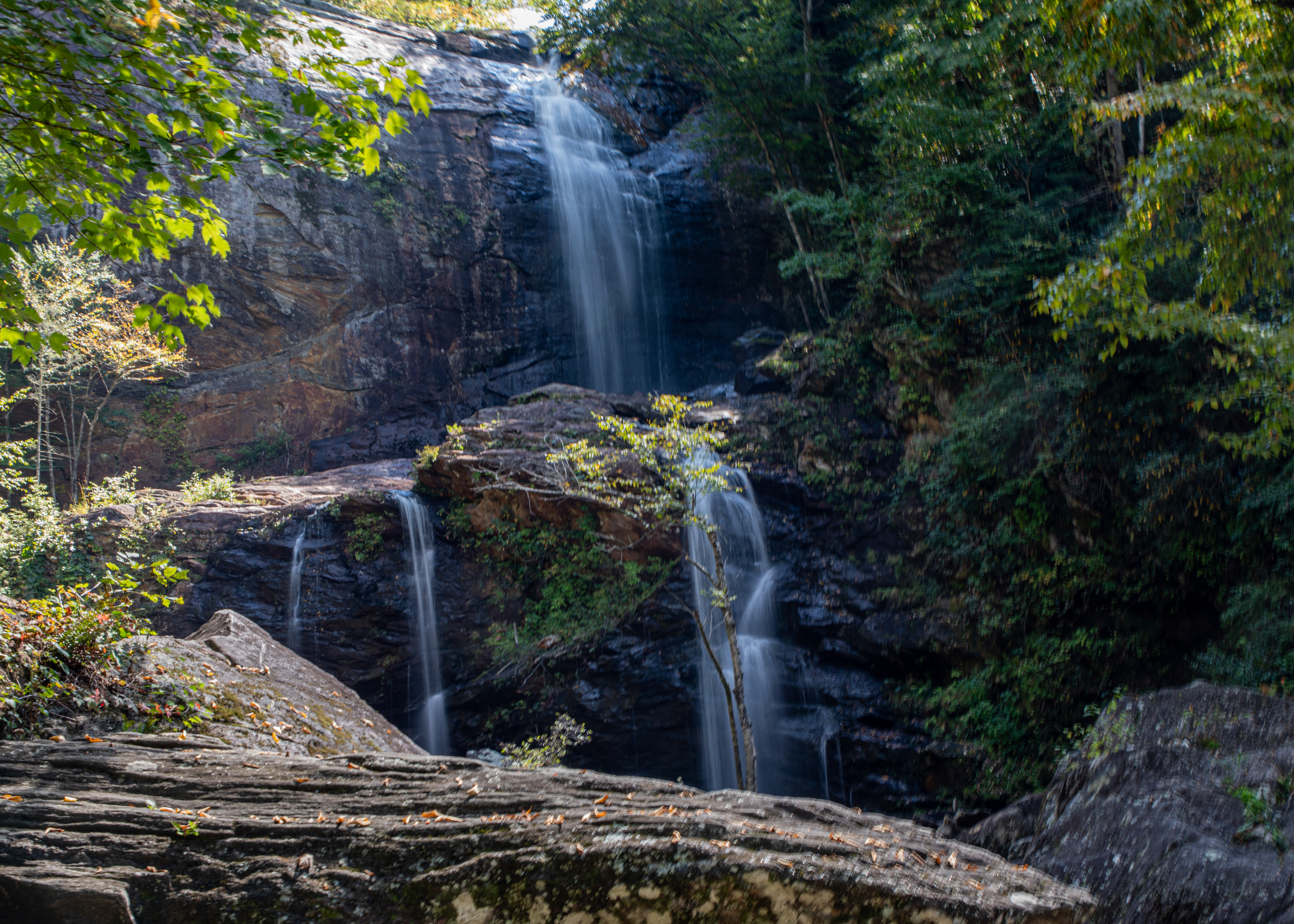
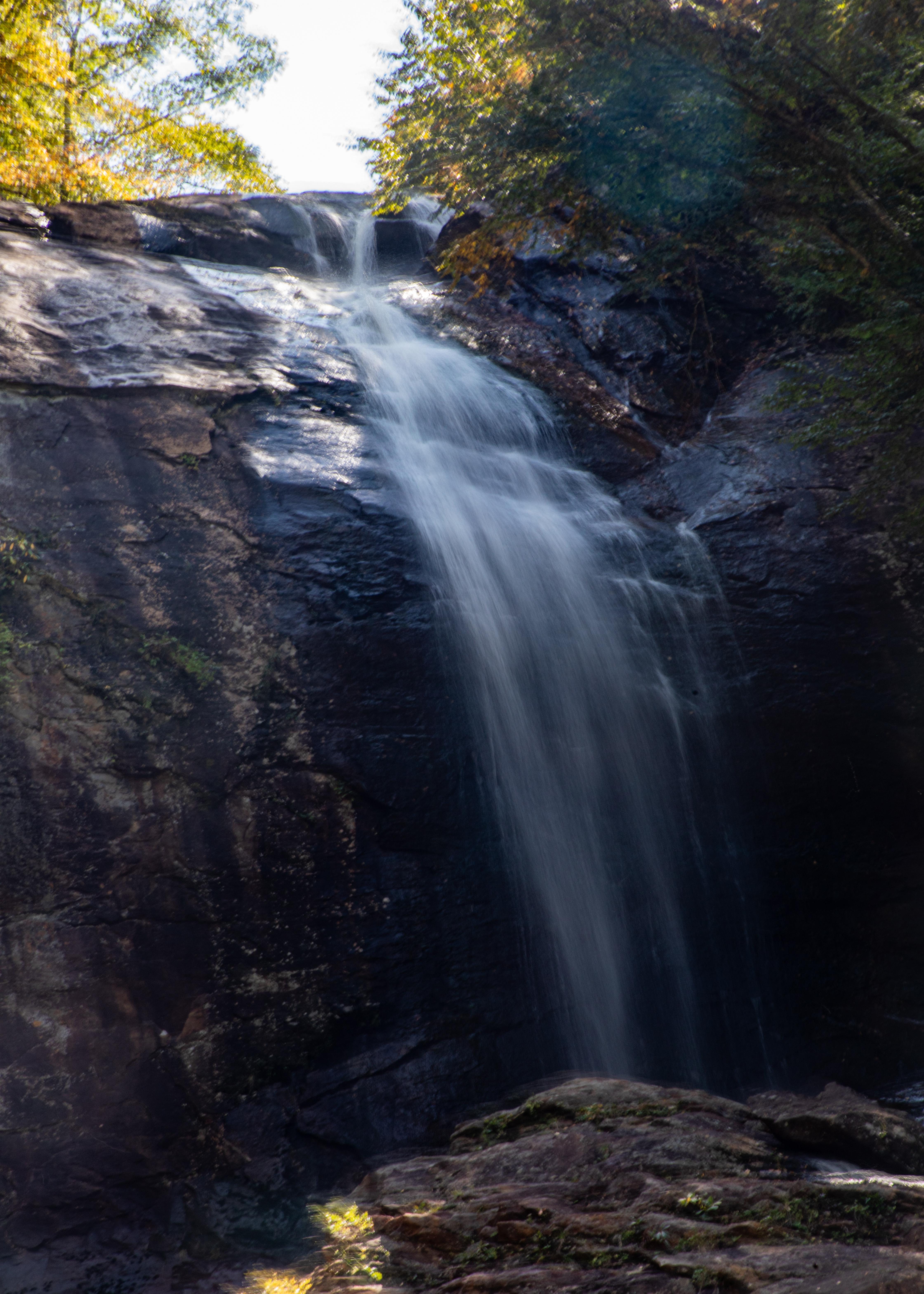
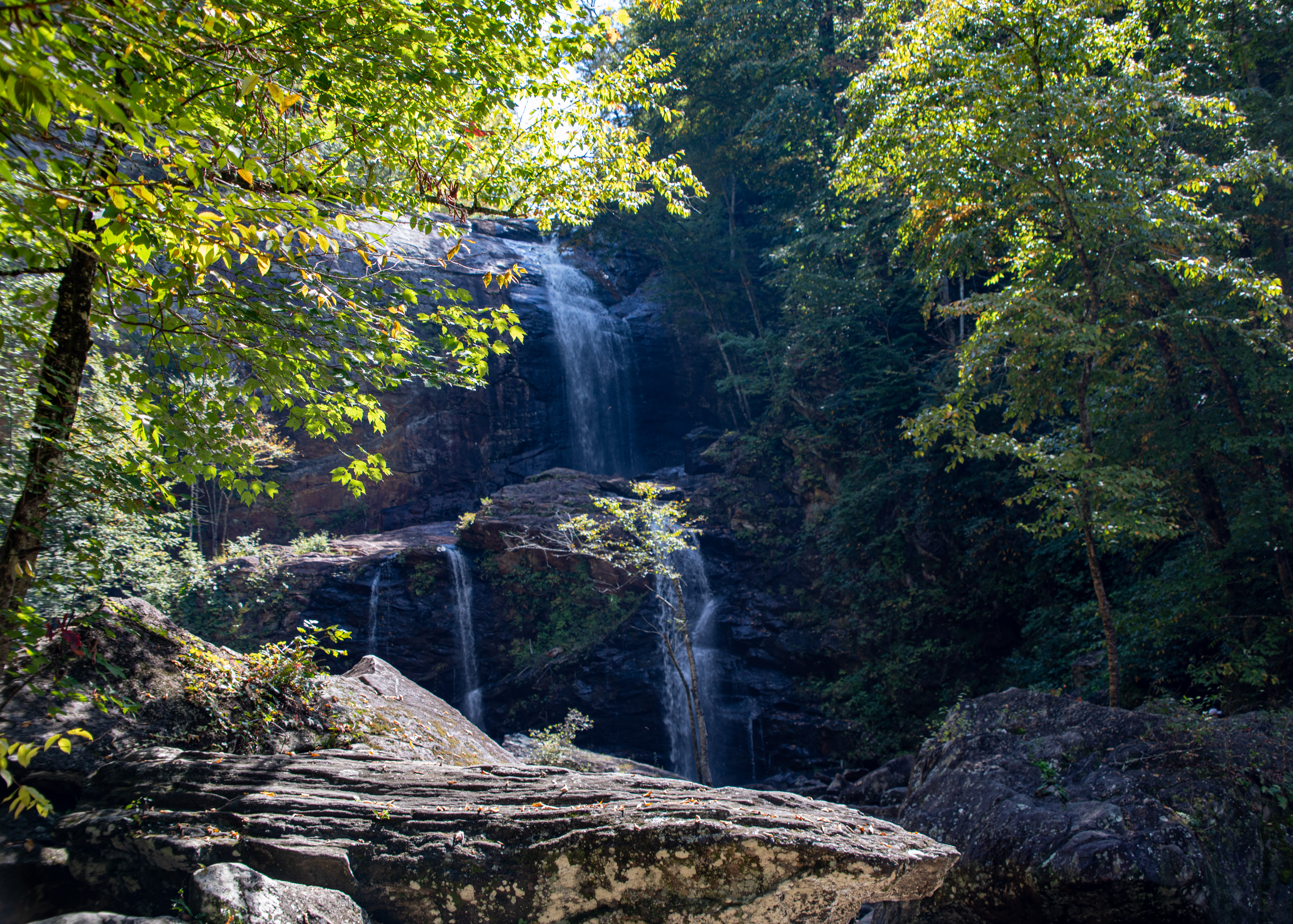
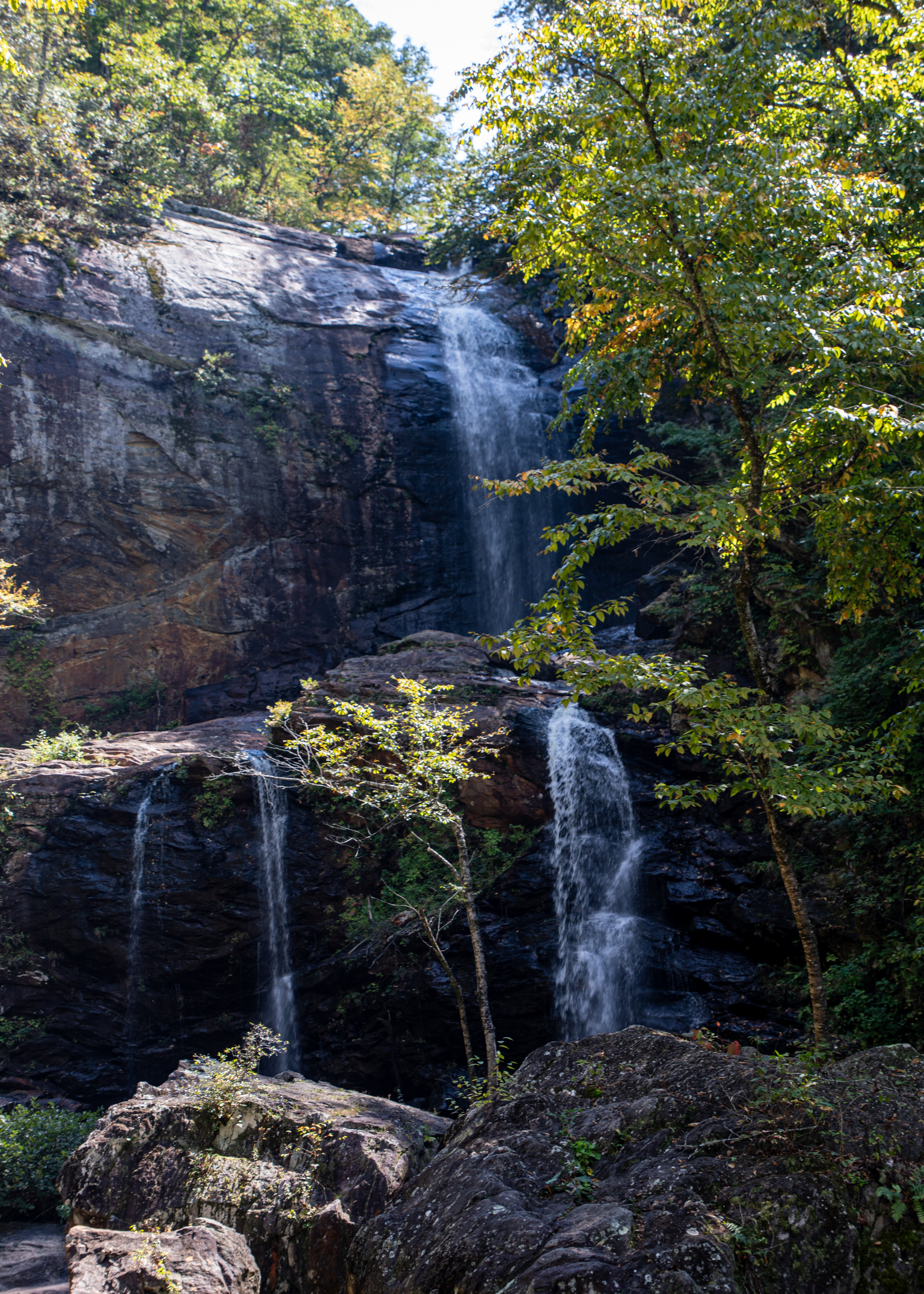
High Falls Waterfall – Just north of Cashiers, on the northern banks of Lake Glenville, the West Fork of the Tuckasegee River pours over a 100+ foot cliff, tumbling in a dramatic multi-tiered waterfall and plunging into a boulder-filled pool below. It’s one of North Carolina’s most beautiful falls.

We are now back in Florida and hope you enjoyed traveling with us. We visited 26 states and traversed over 11,000 miles visiting many new sights that we had missed on our 40 earlier trips across country. We still enjoy traveling the red and blue roads rather than Interstate highways. Stealing words from another traveler – keep on traveling – until next time be well.

2024 Cross Country Trip #10

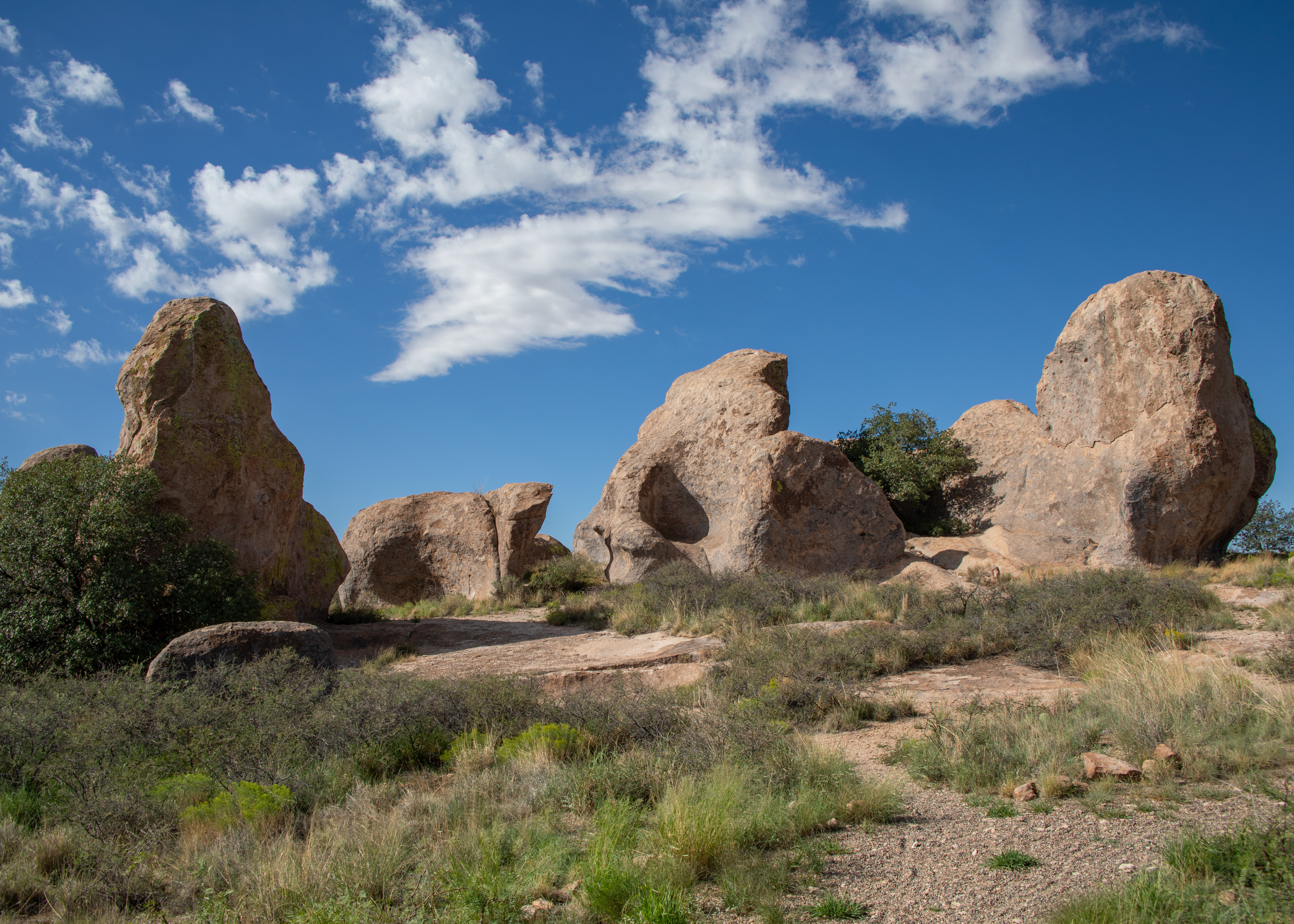
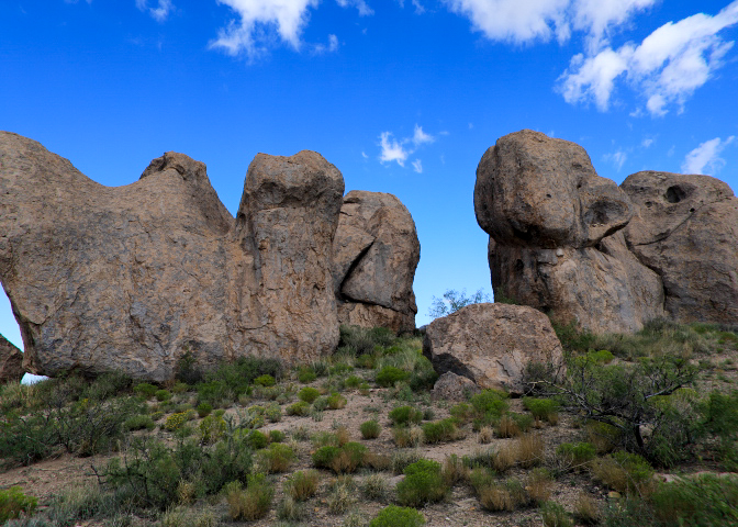
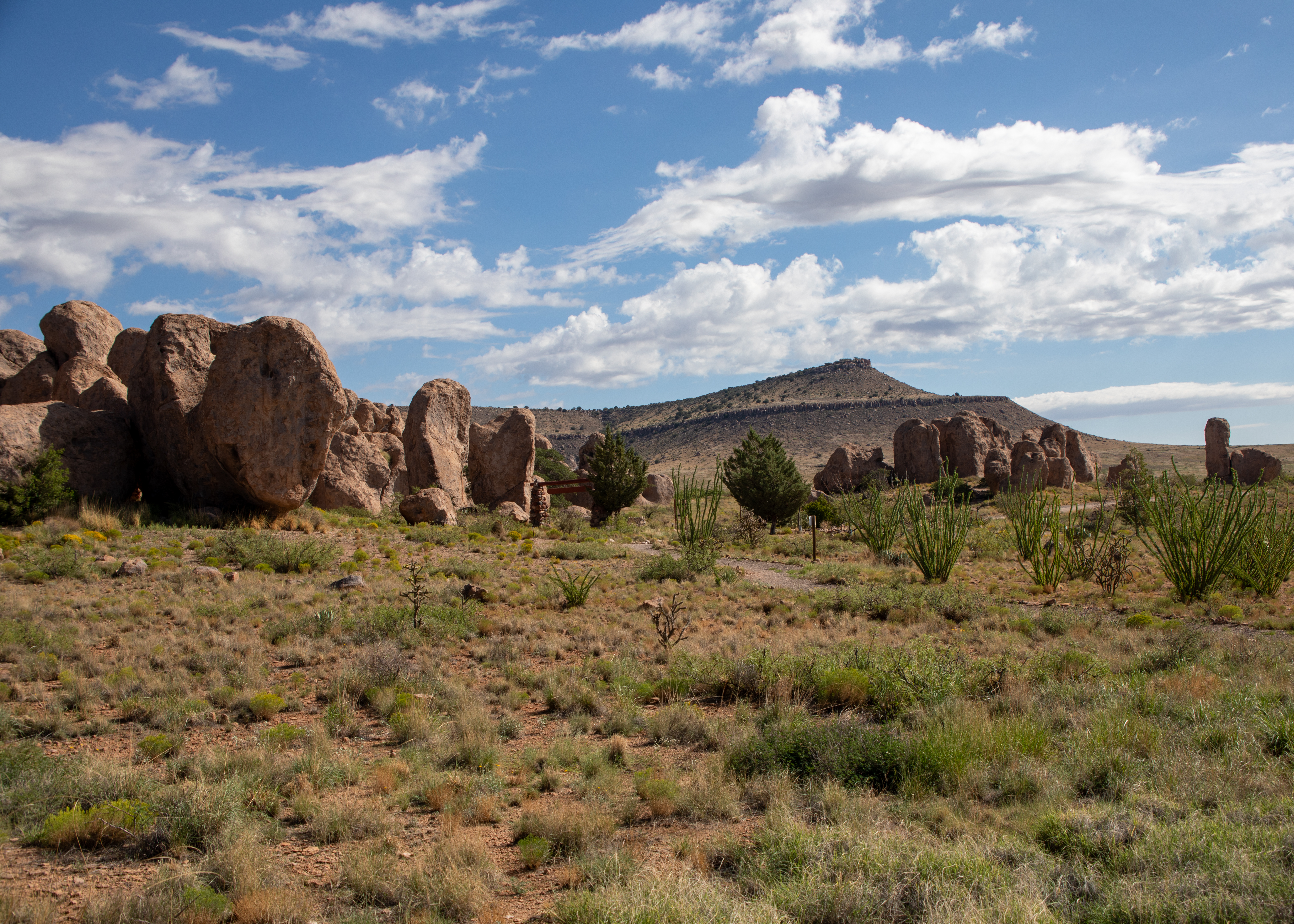
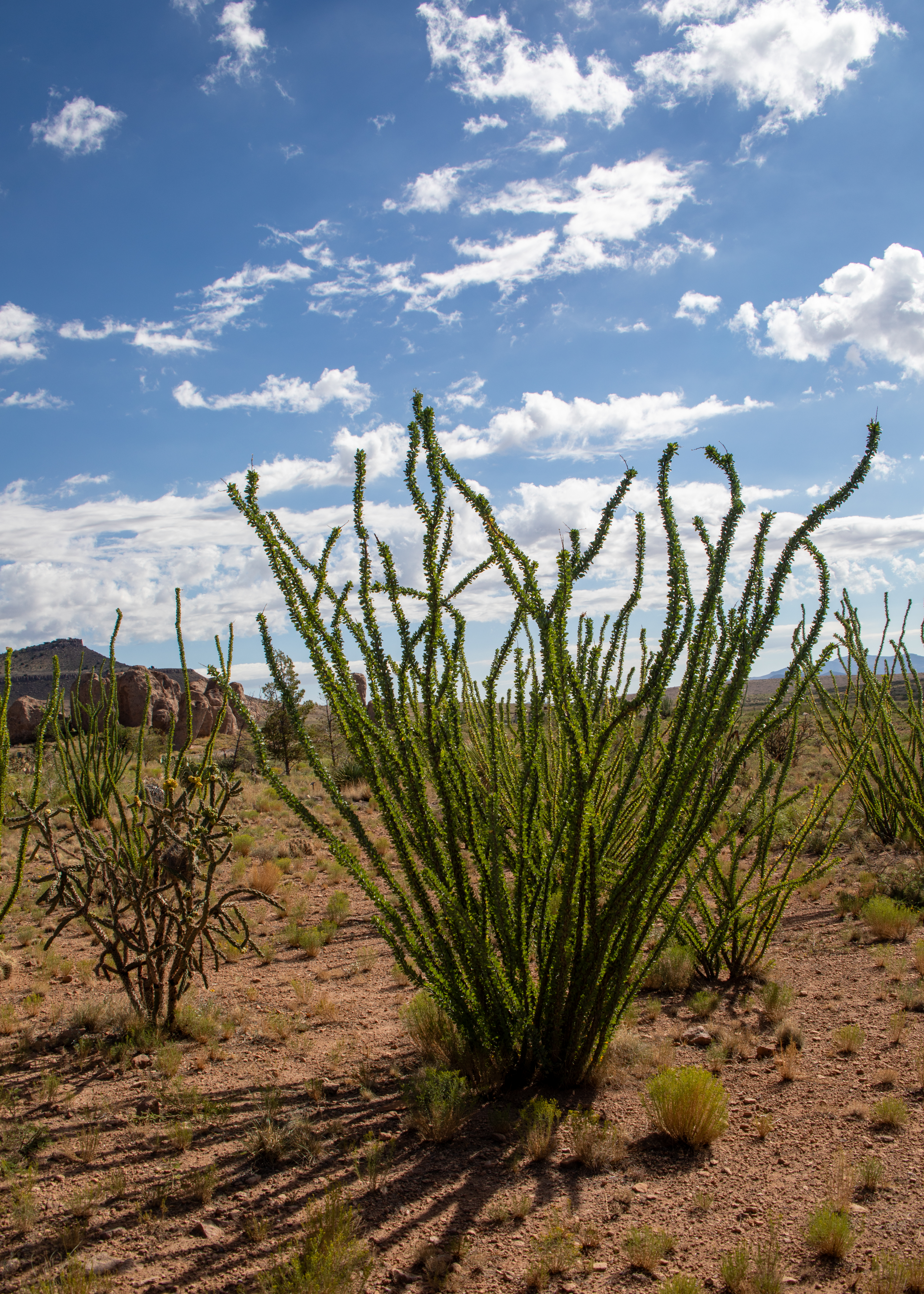
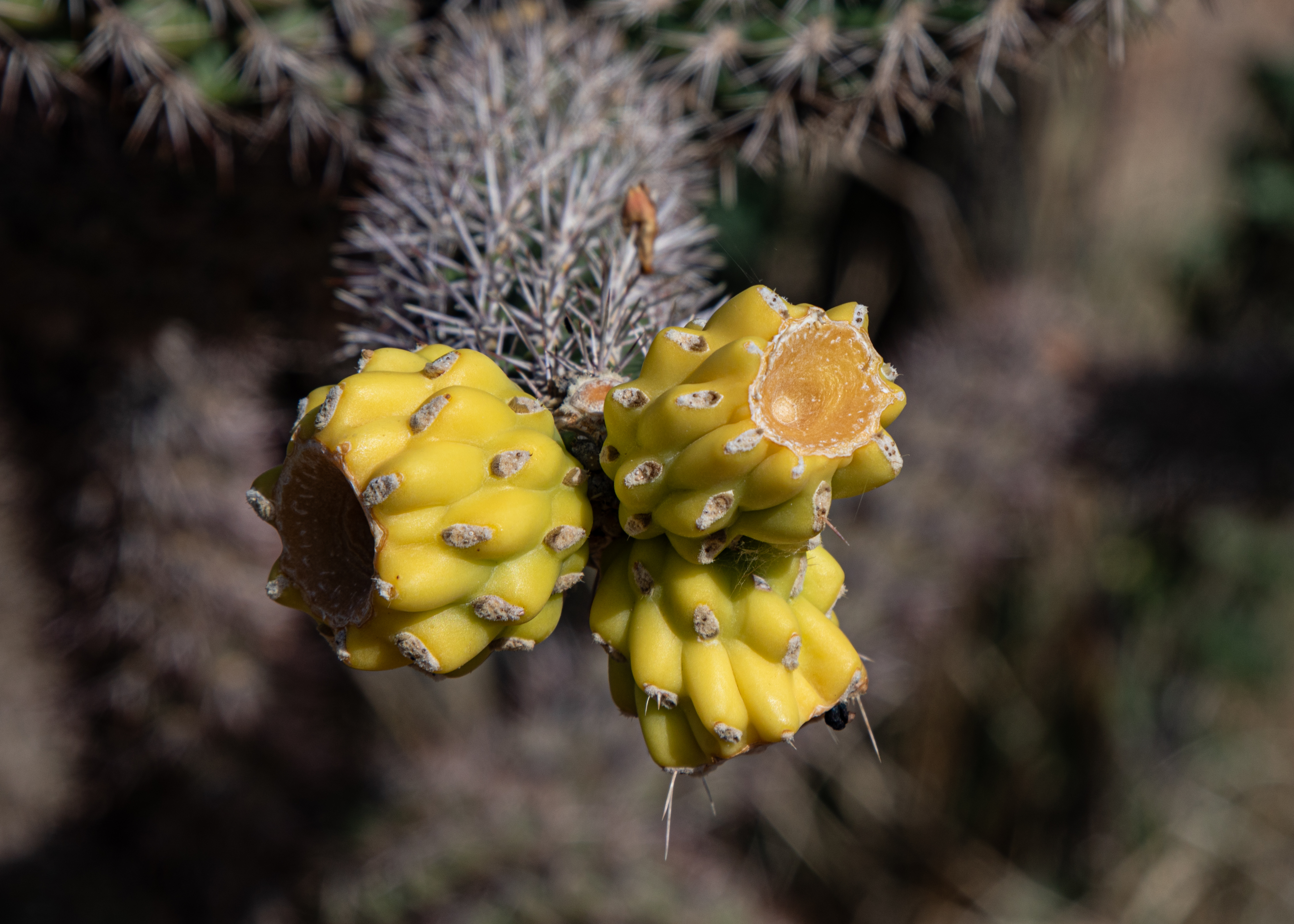
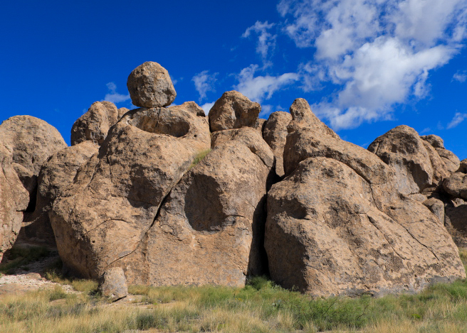
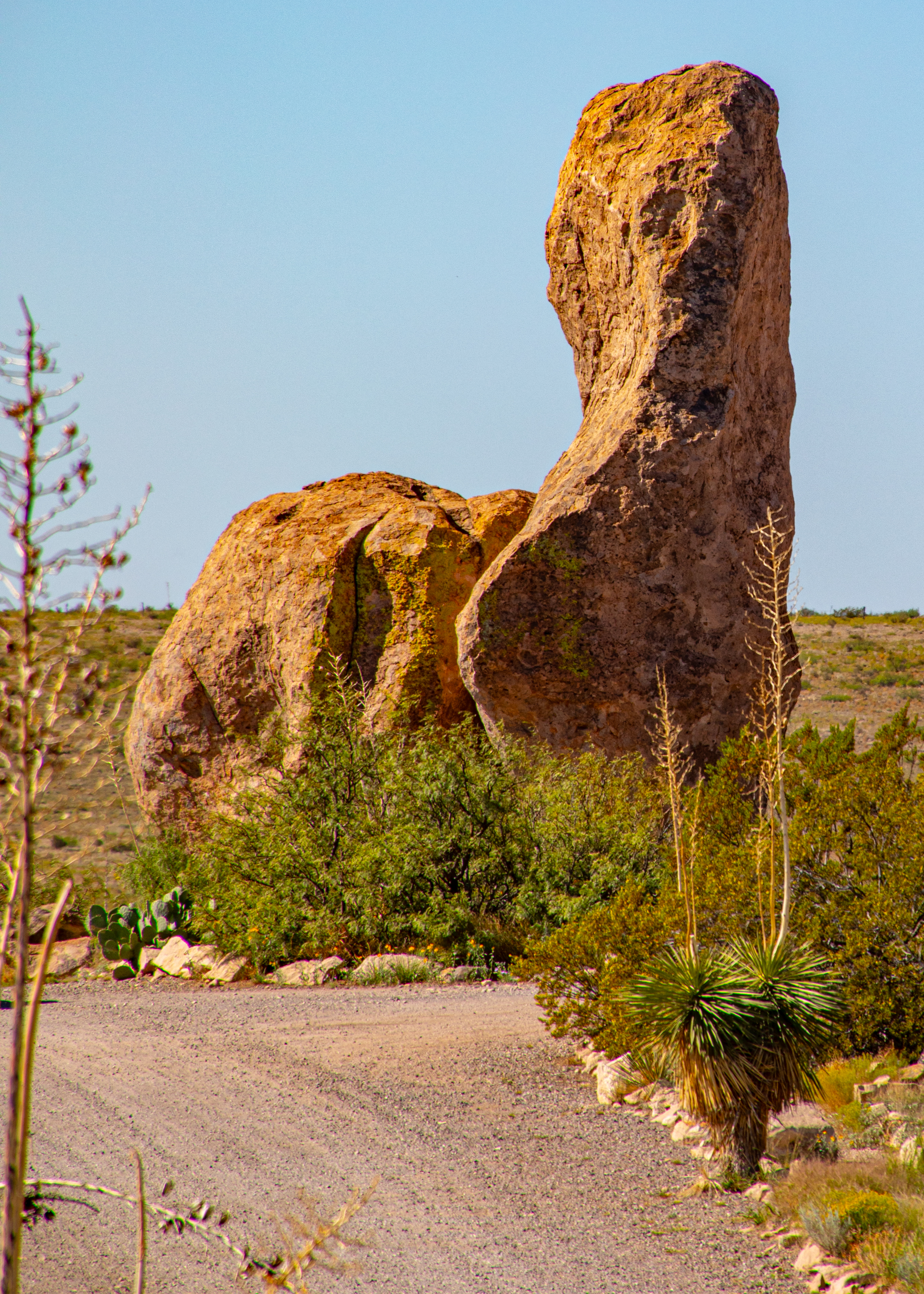
City of Rocks gets its name from the volcanic rock formations found here. The park encompasses a one-square-mile area in the scenic Chihuahuan desert region of southwestern New Mexico at 5,200 feet. The “city” is a geologic formation of large, sculptured rock columns, or pinnacles, rising as high as 40 feet and separated by paths or lanes resembling city streets. These rocks were formed about 34.9 million years ago when a very large volcano erupted. Then, erosion over millions of years slowly formed the sculptured columns seen today, creating an otherworldly landscape. The rock formations at the park are so unique that they are only known to exist in six other places in the world.

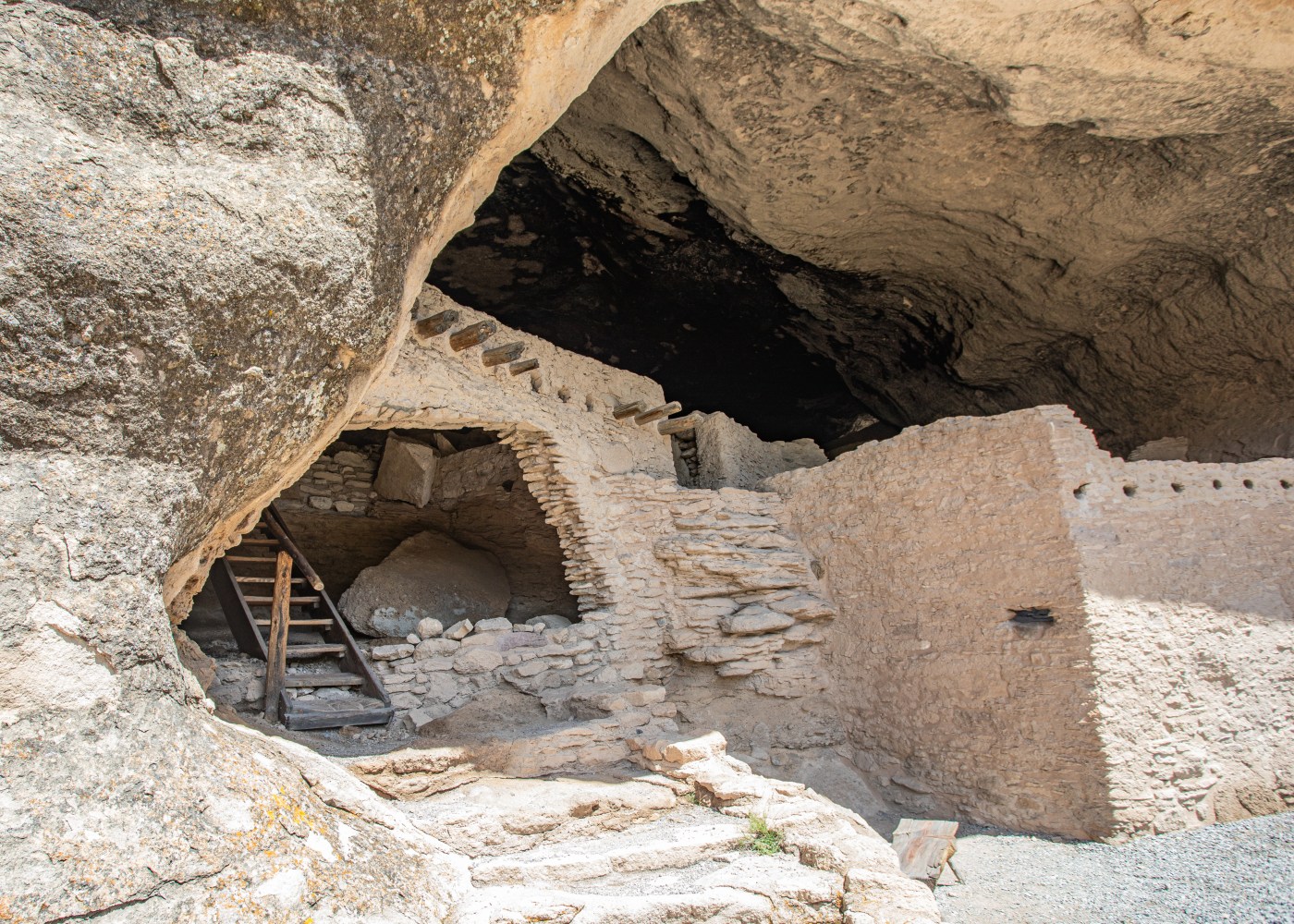
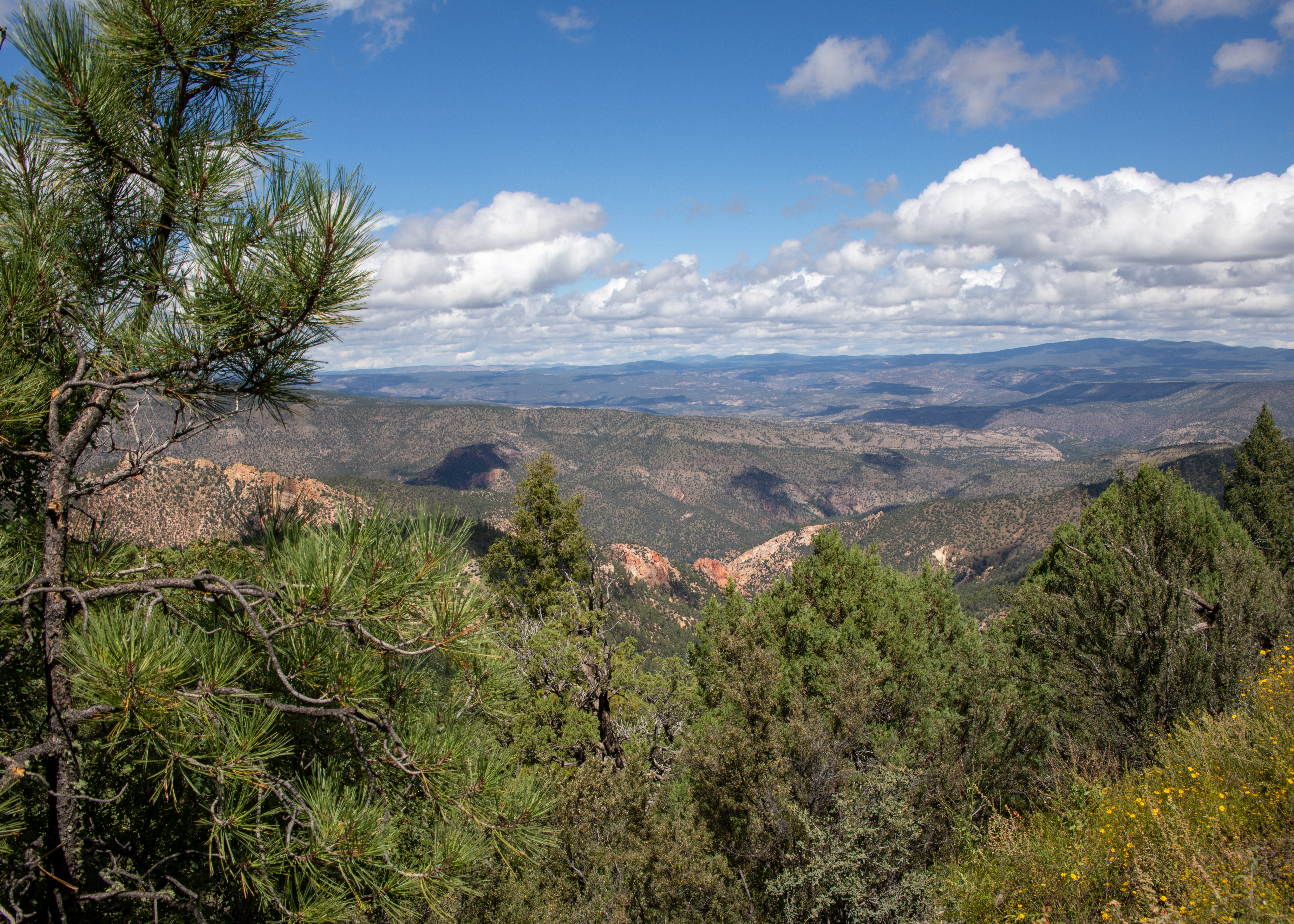
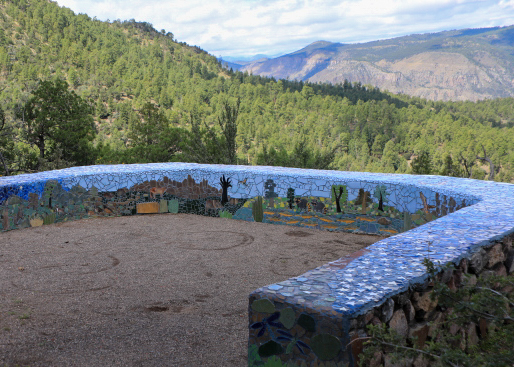
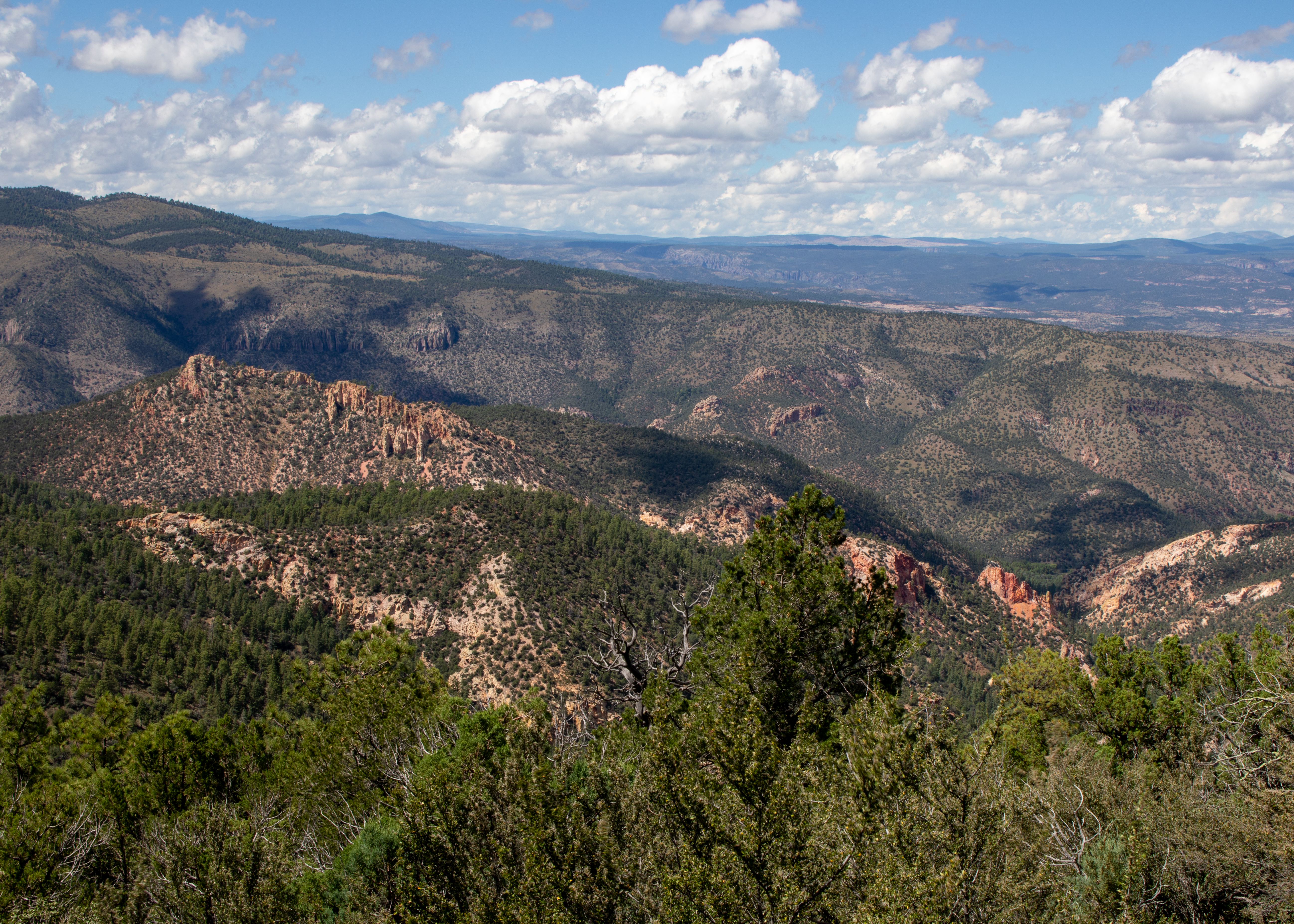
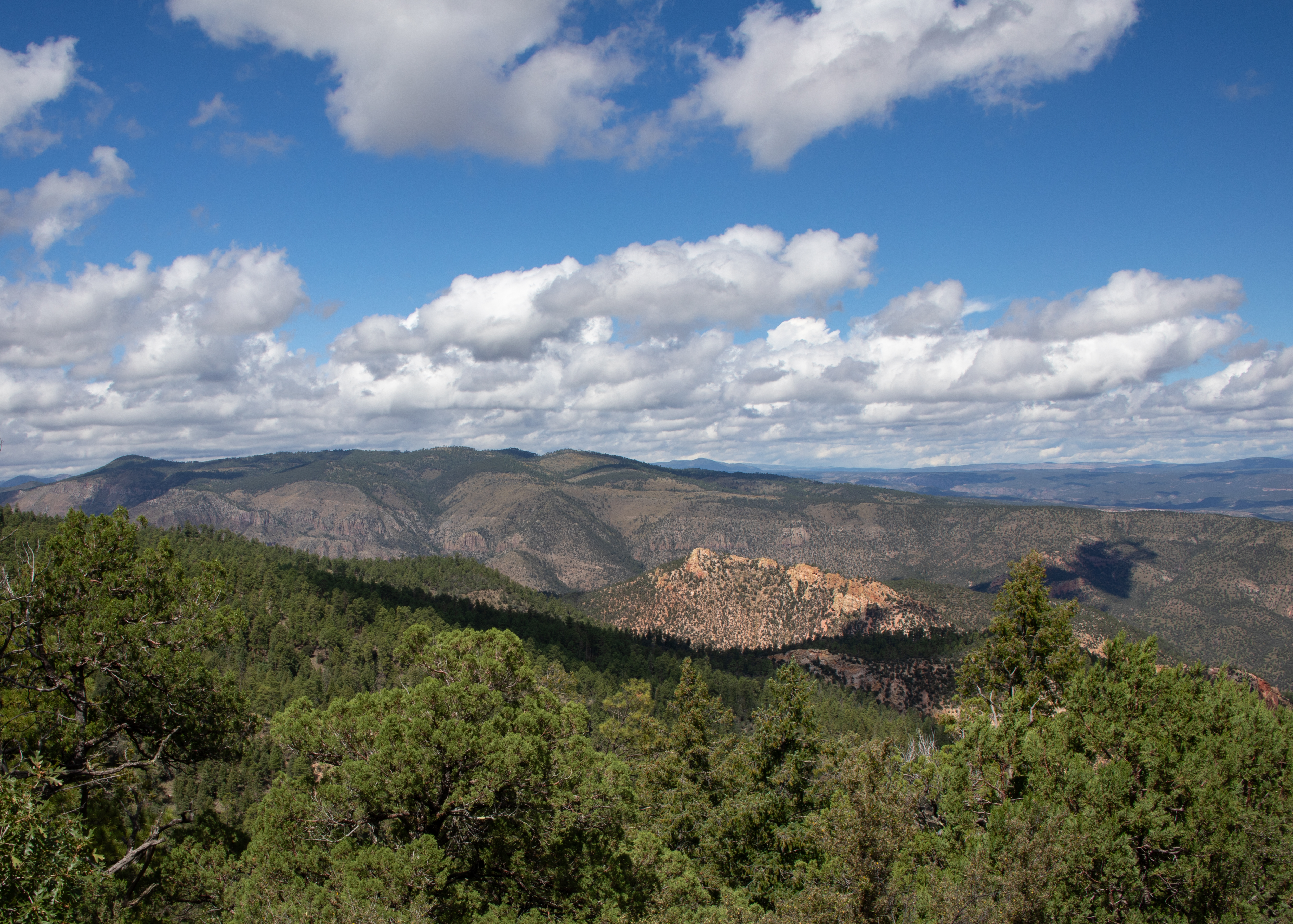
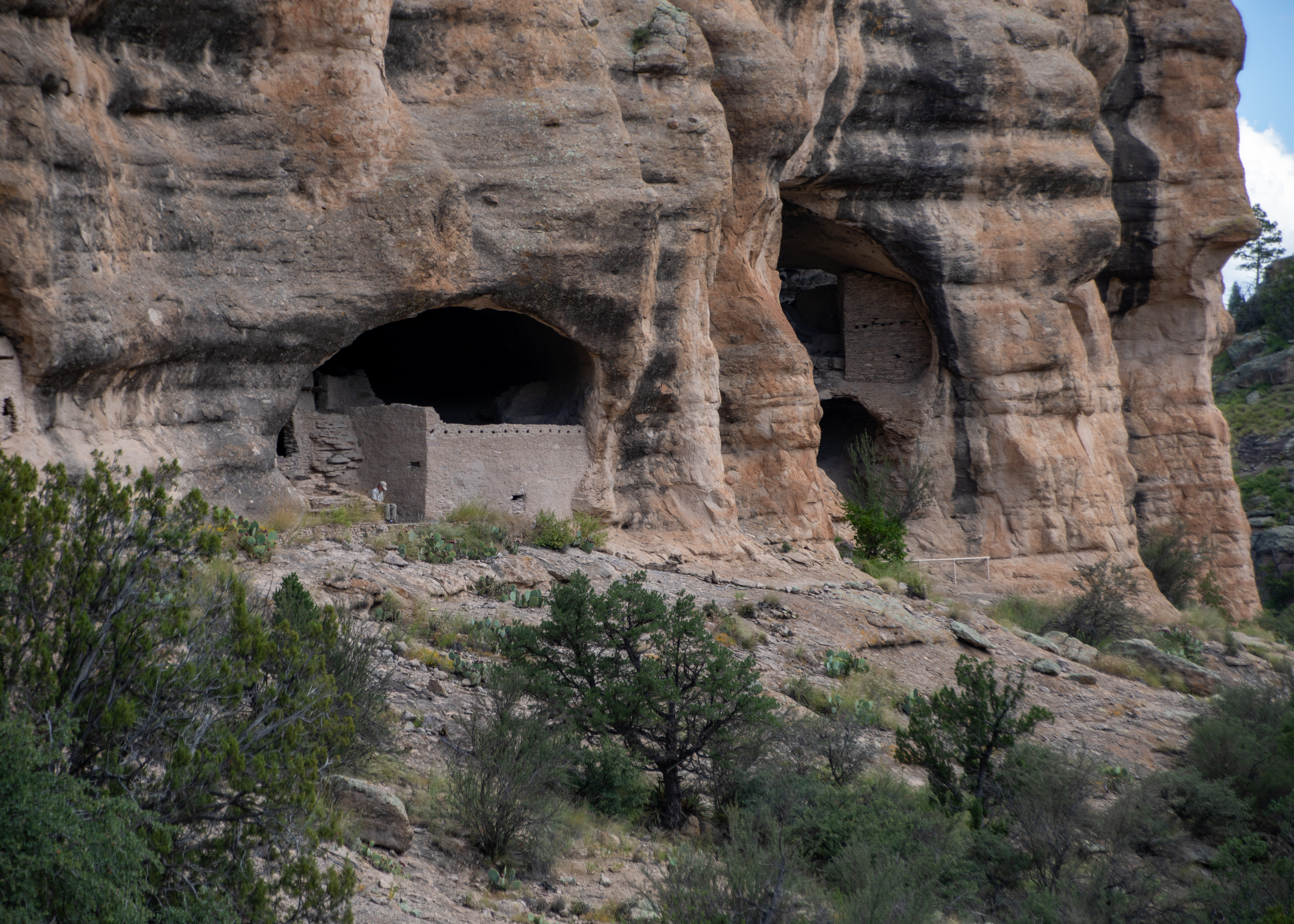
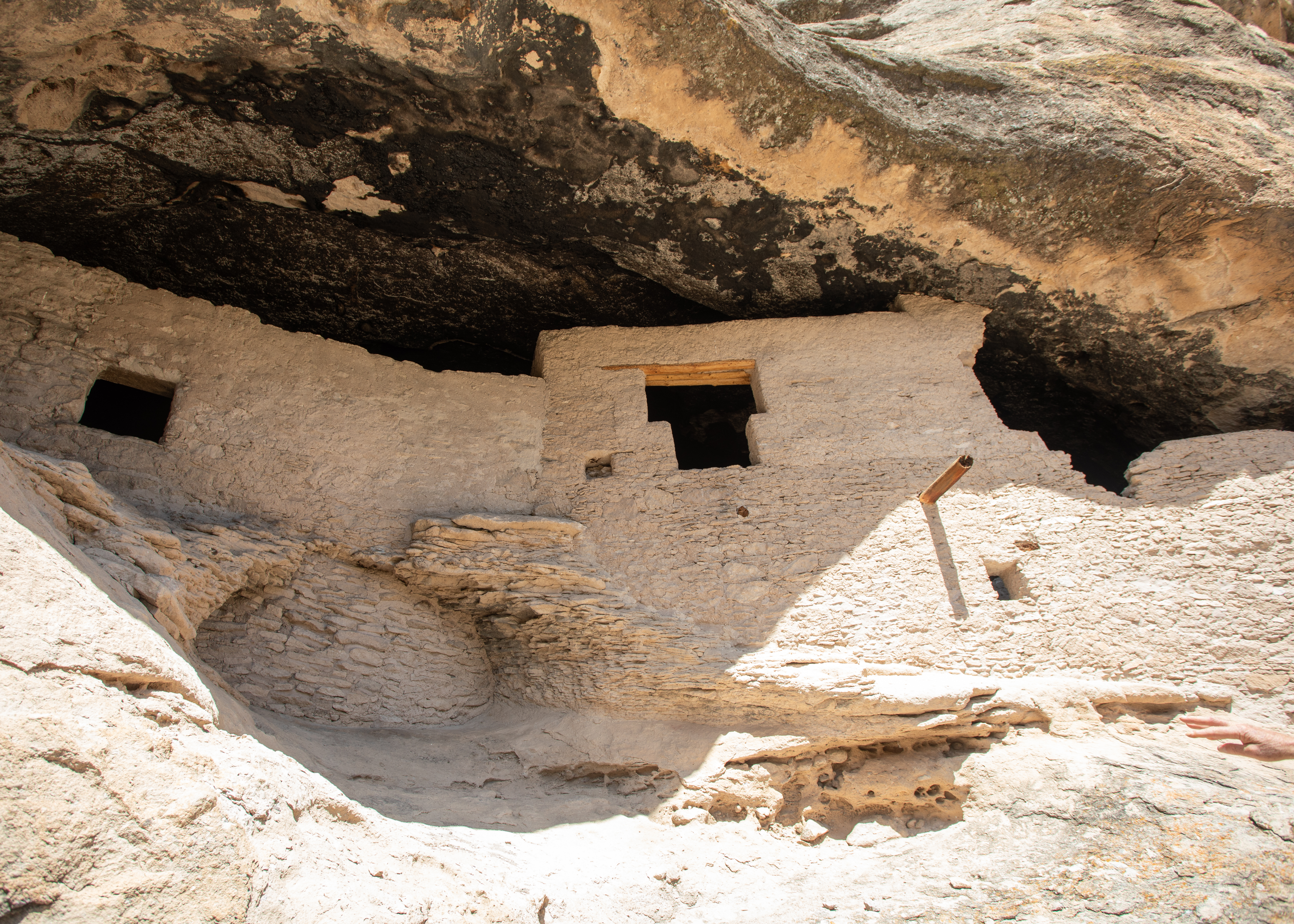
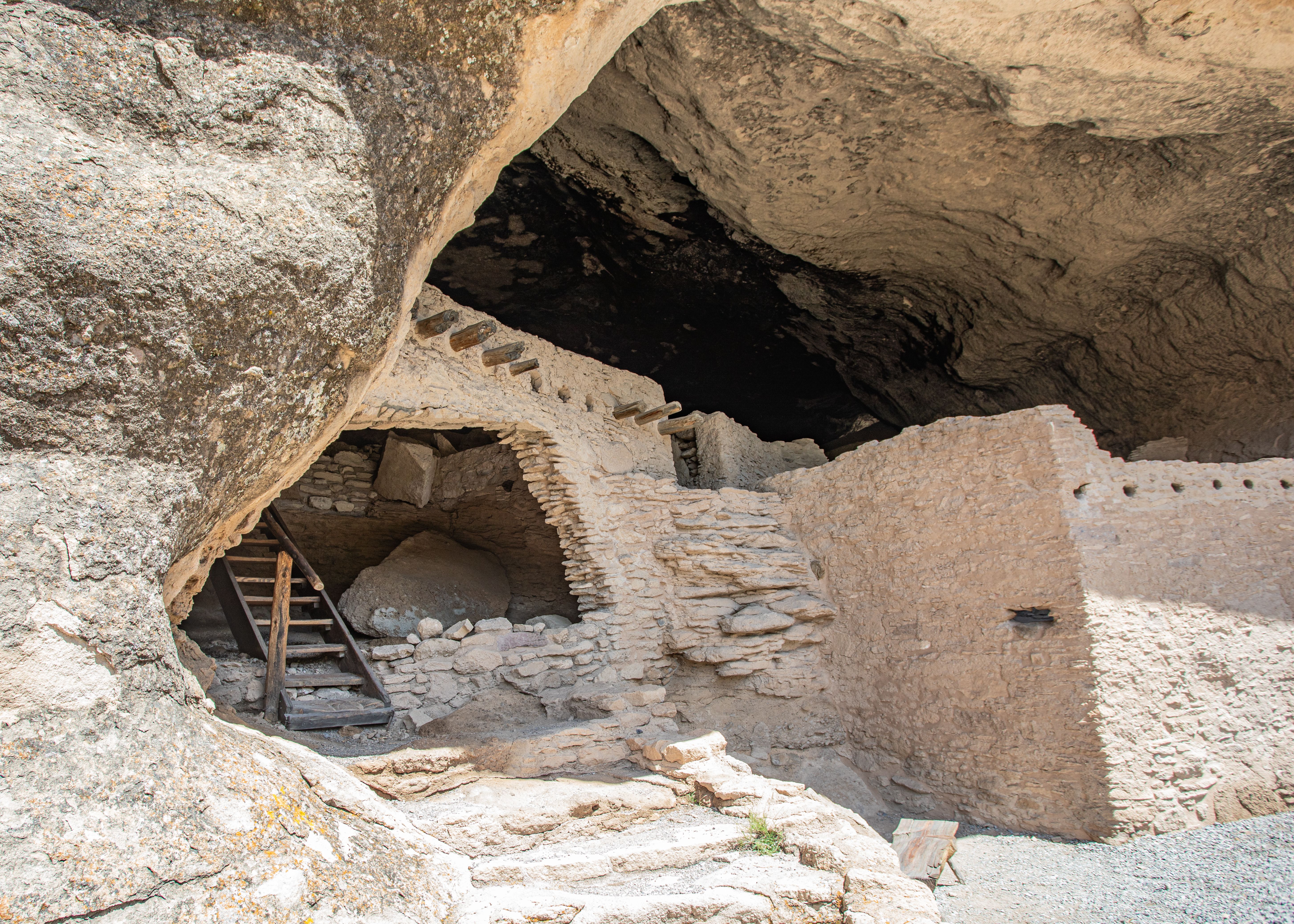
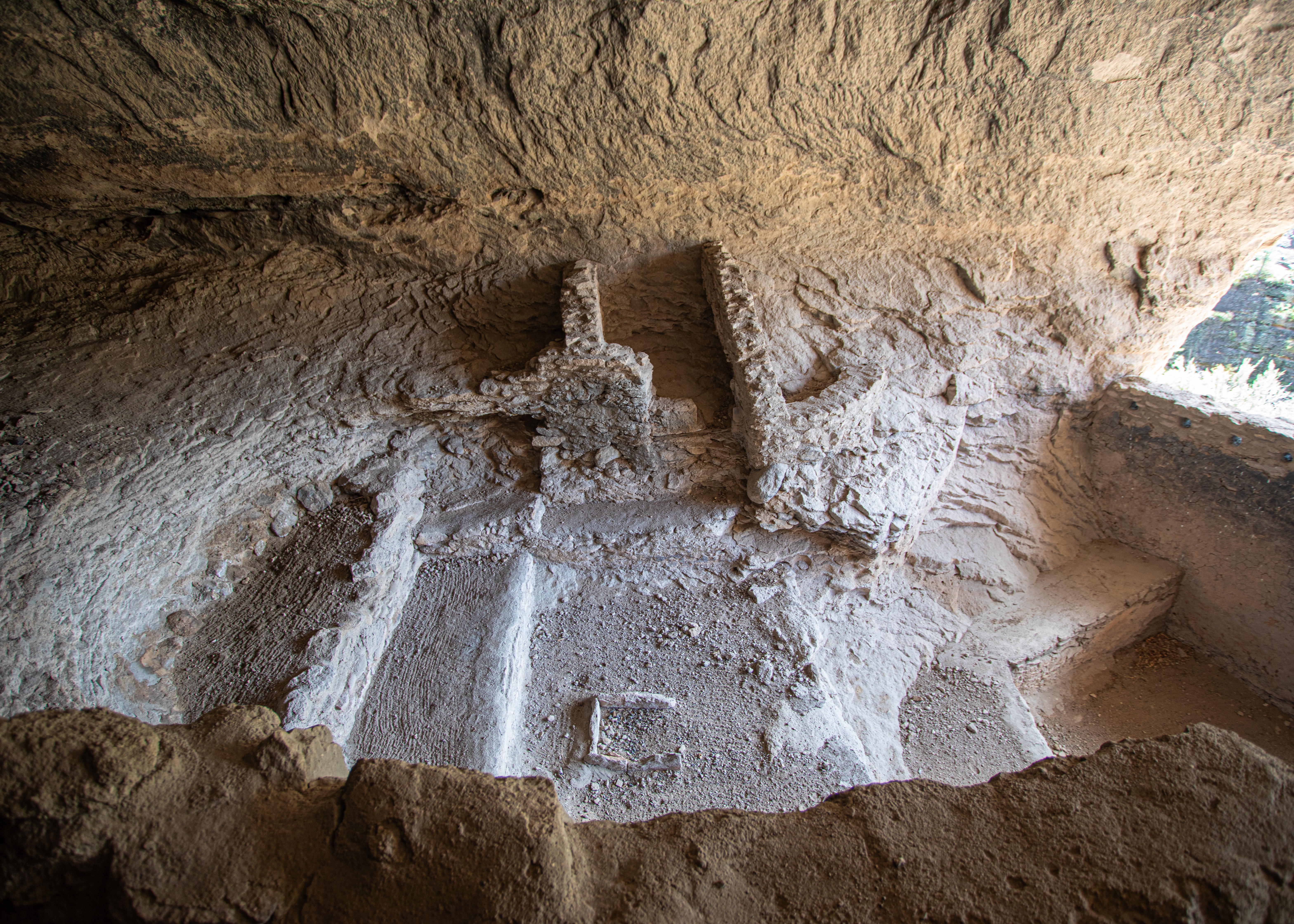
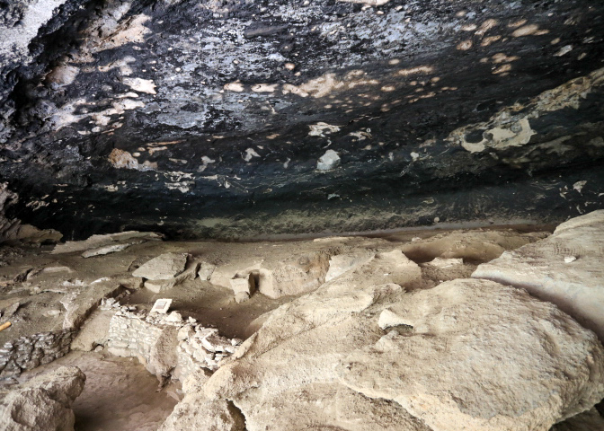
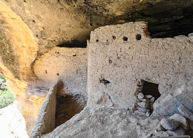
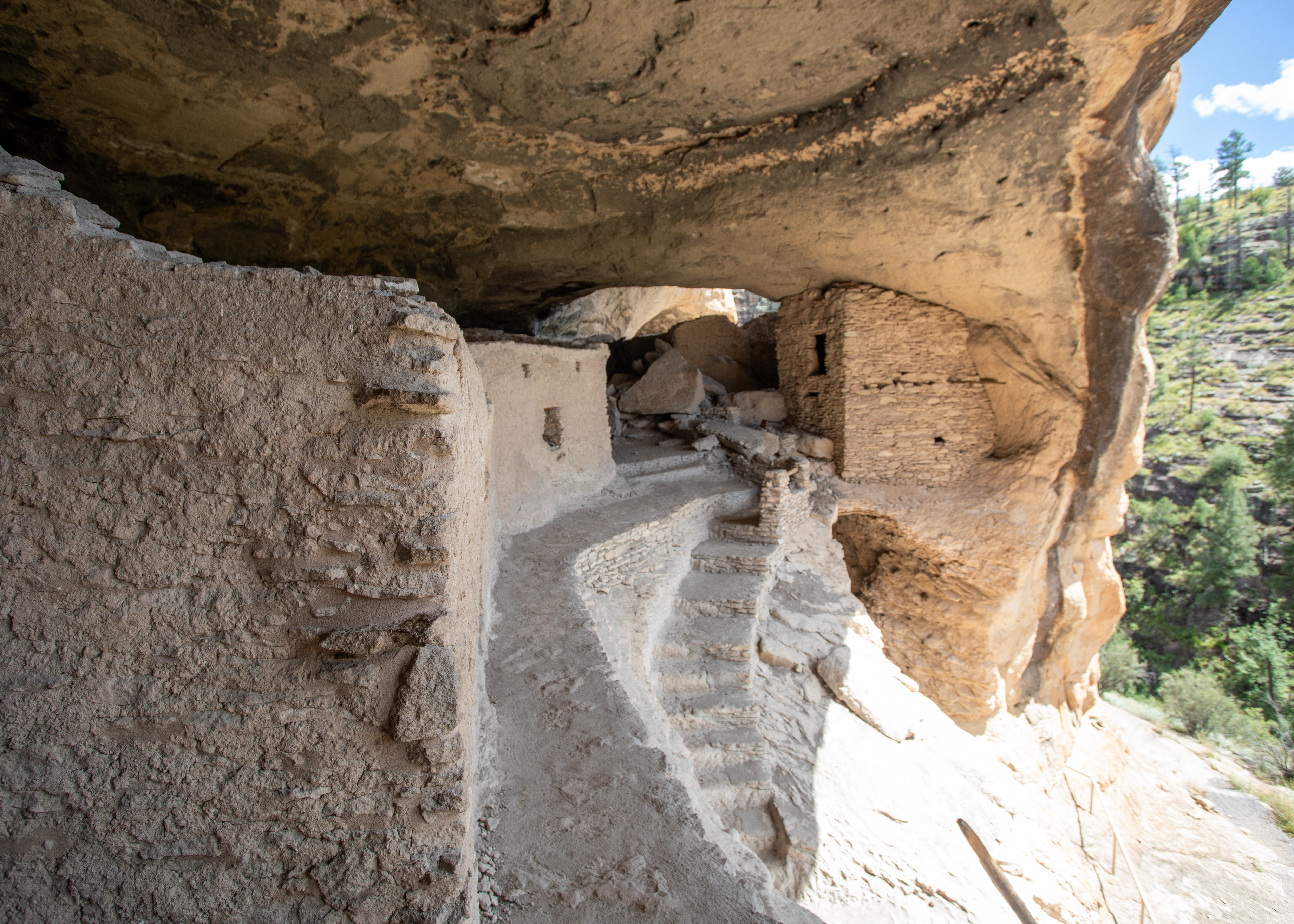
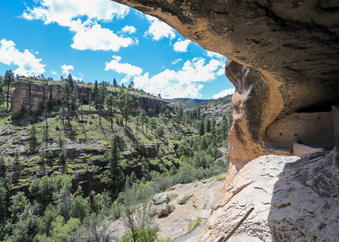
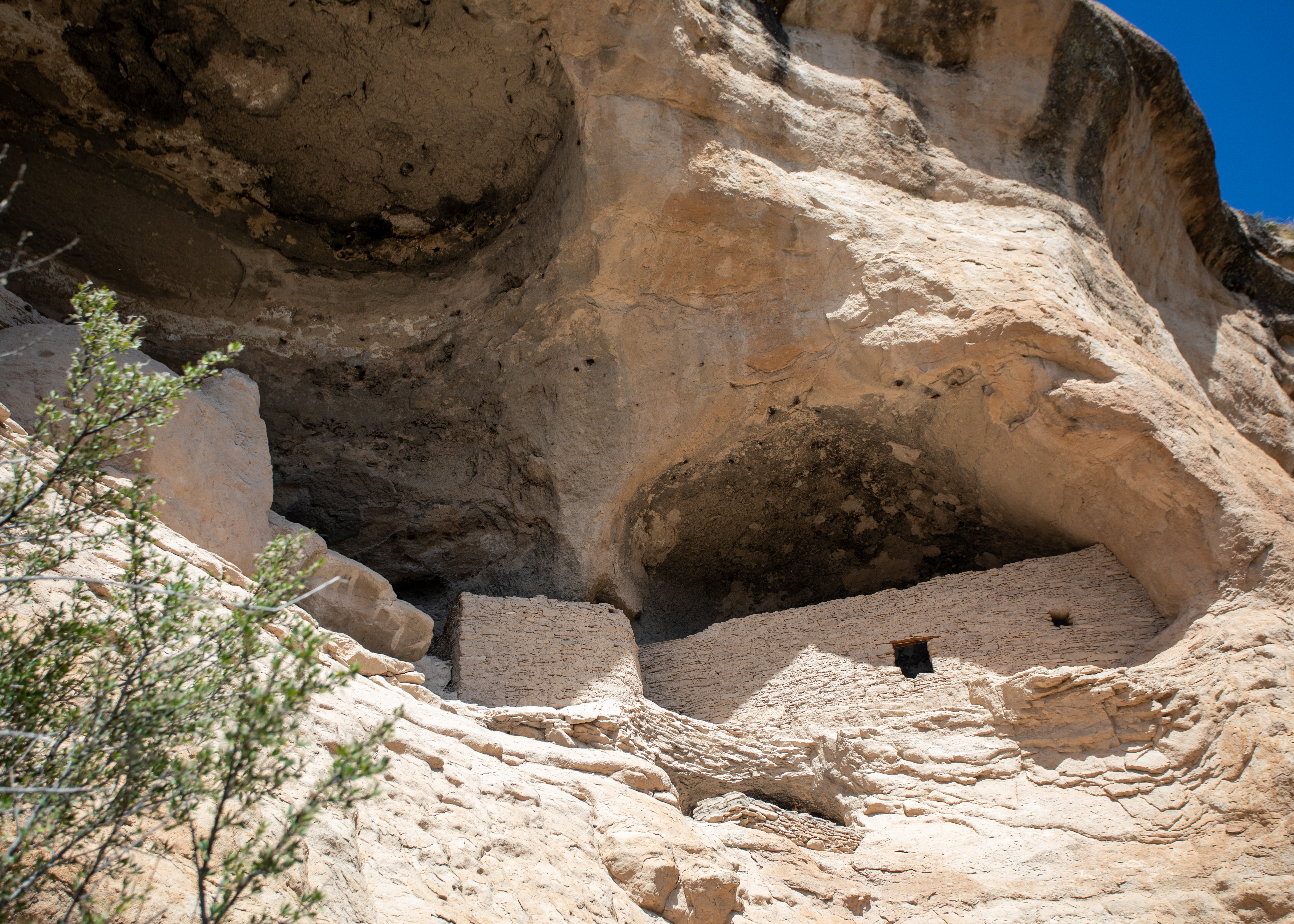
Gila Cliff Dwelling National Monument – For thousands of years, nomads used the caves above Cliff Dweller Creek as temporary shelter. In the late 1200s, people of the agricultural Mogollon (Southern Ancestral Pueblo) culture made it a home. They built rooms, crafted pottery, and raised children in the cliff dwellings for one or two generations. By approximately 1300, the Mogollon had moved on, leaving the walls behind. Five naturally eroded alcoves contain the homes of the Tularosa Mogollon. About 42 rooms were constructed from local stone. All wooden beams seen in the dwellings are the originals. Tree-ring dates range from the 1260’s through the 1280’s.

Blog at WordPress.com.

Up ↑