Search

Travelling Photographer

Photos and commentary from my travels around the globe

Month

September 2024

2024 Cross Country Trip #9

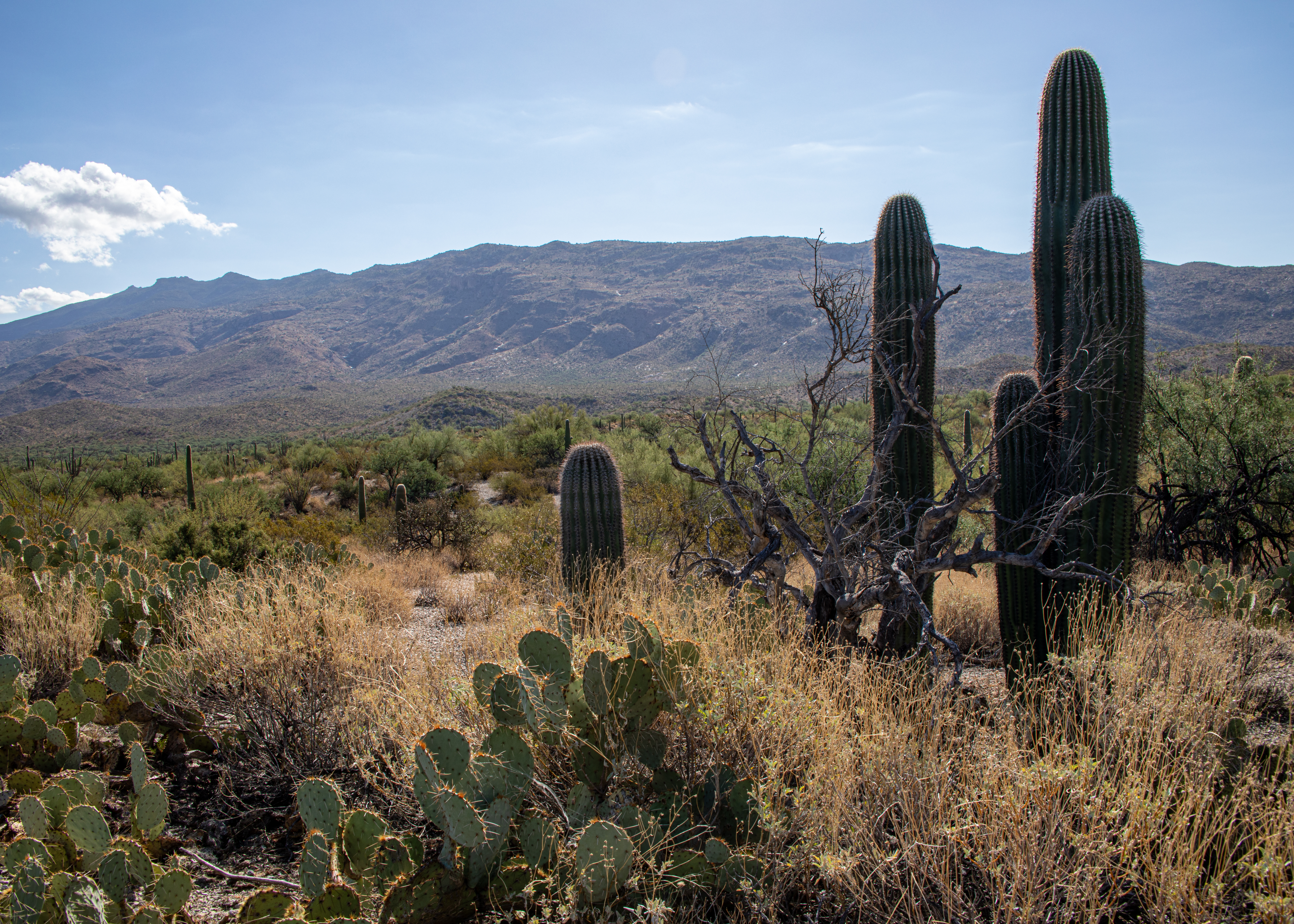
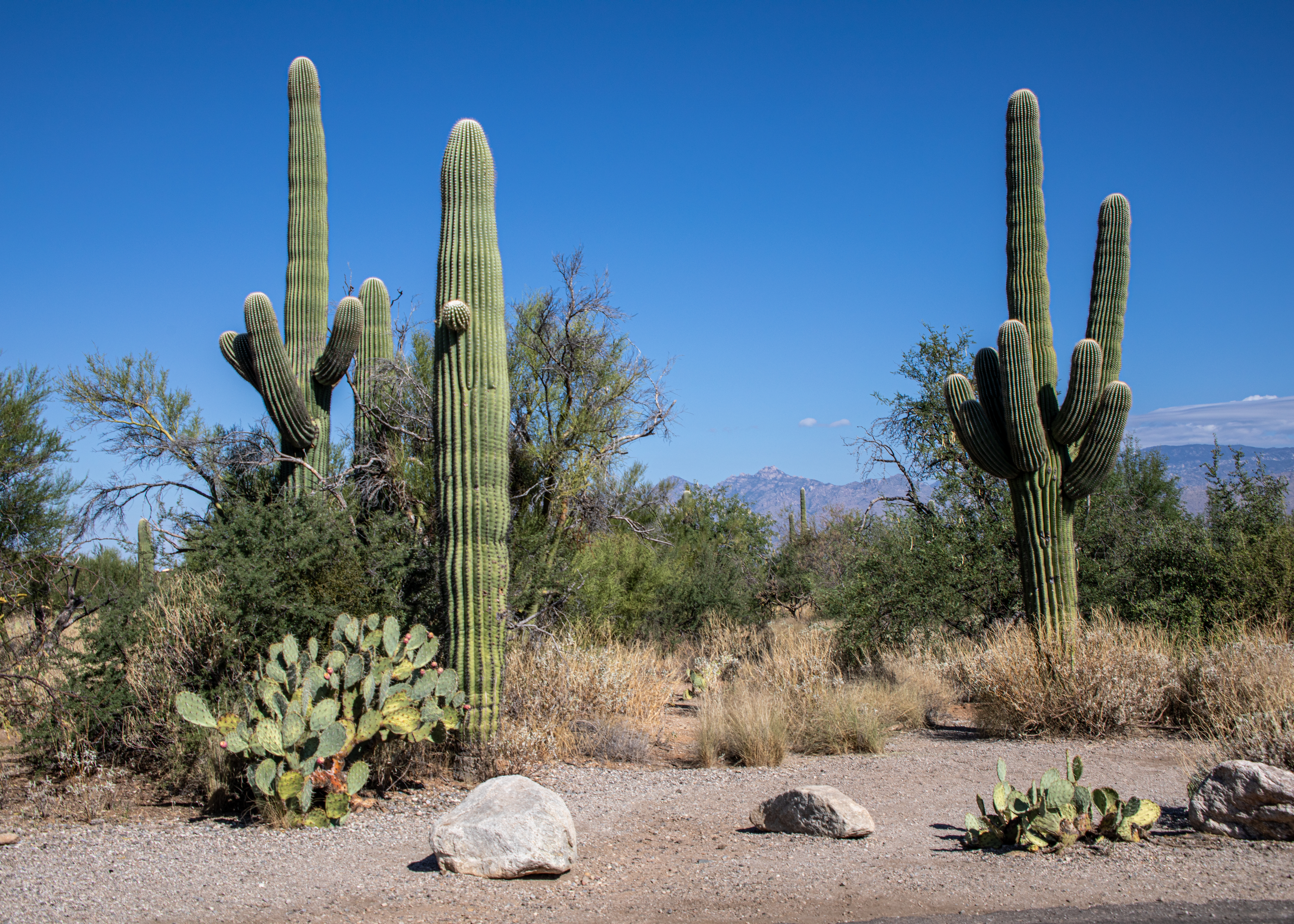
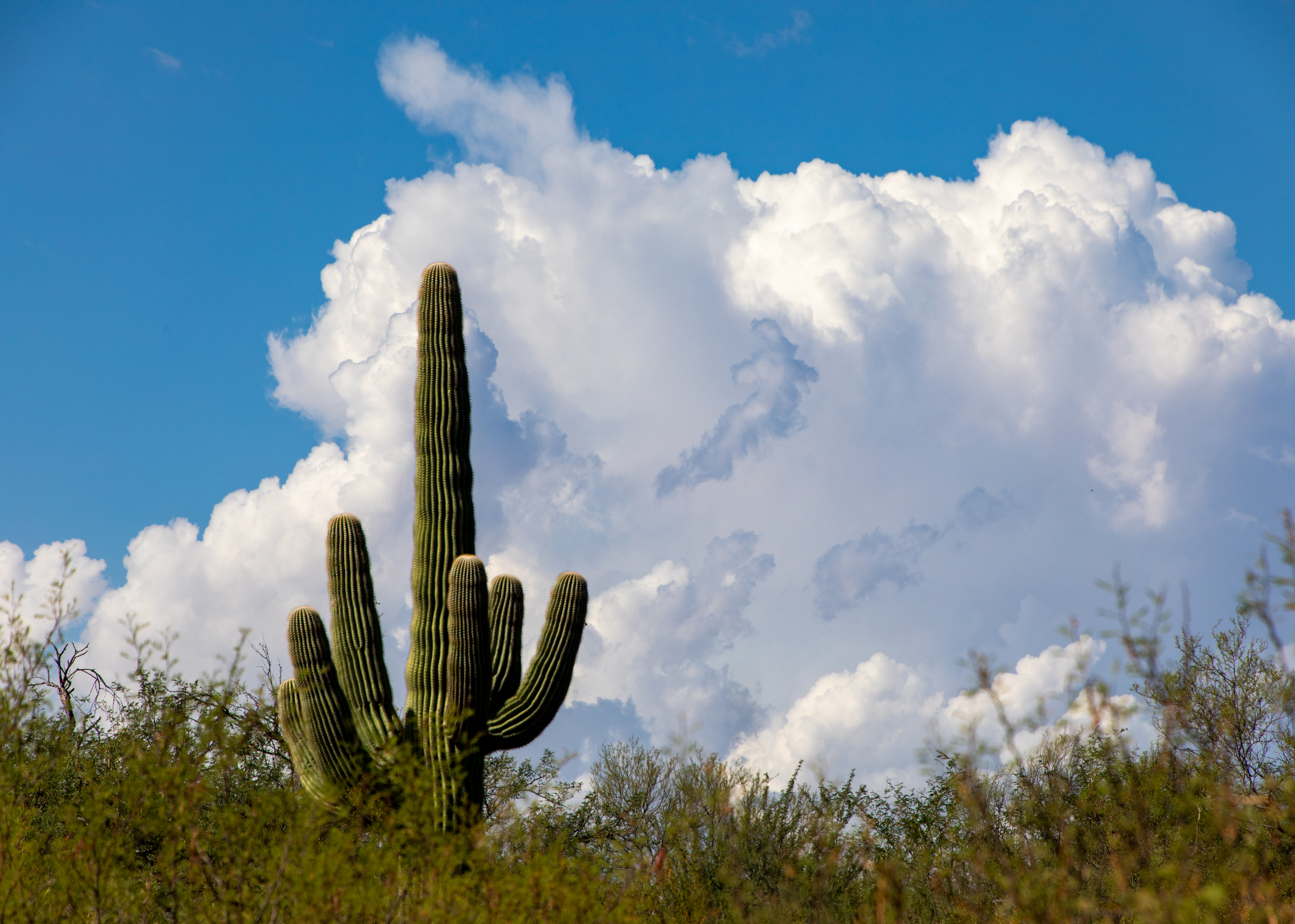
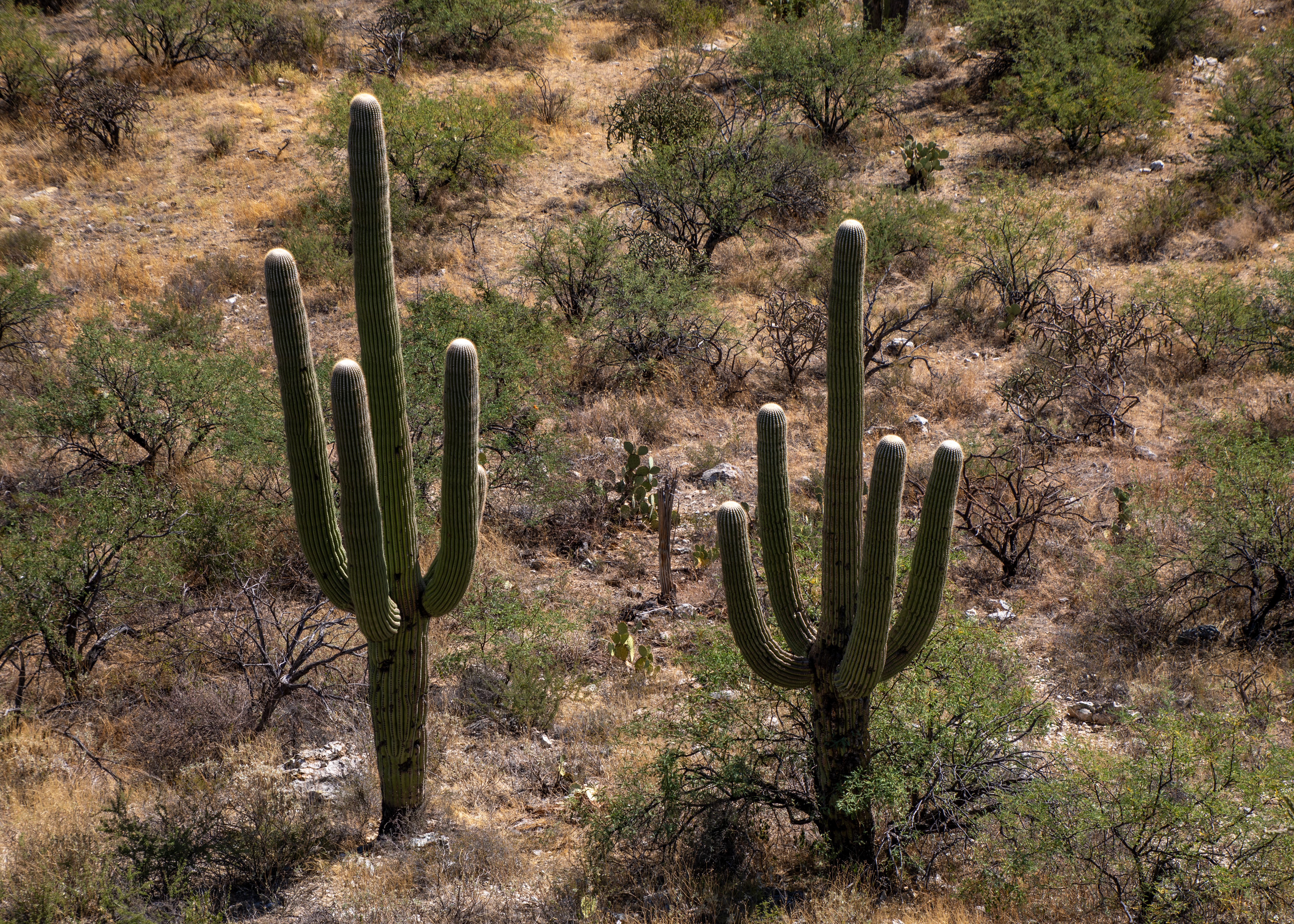
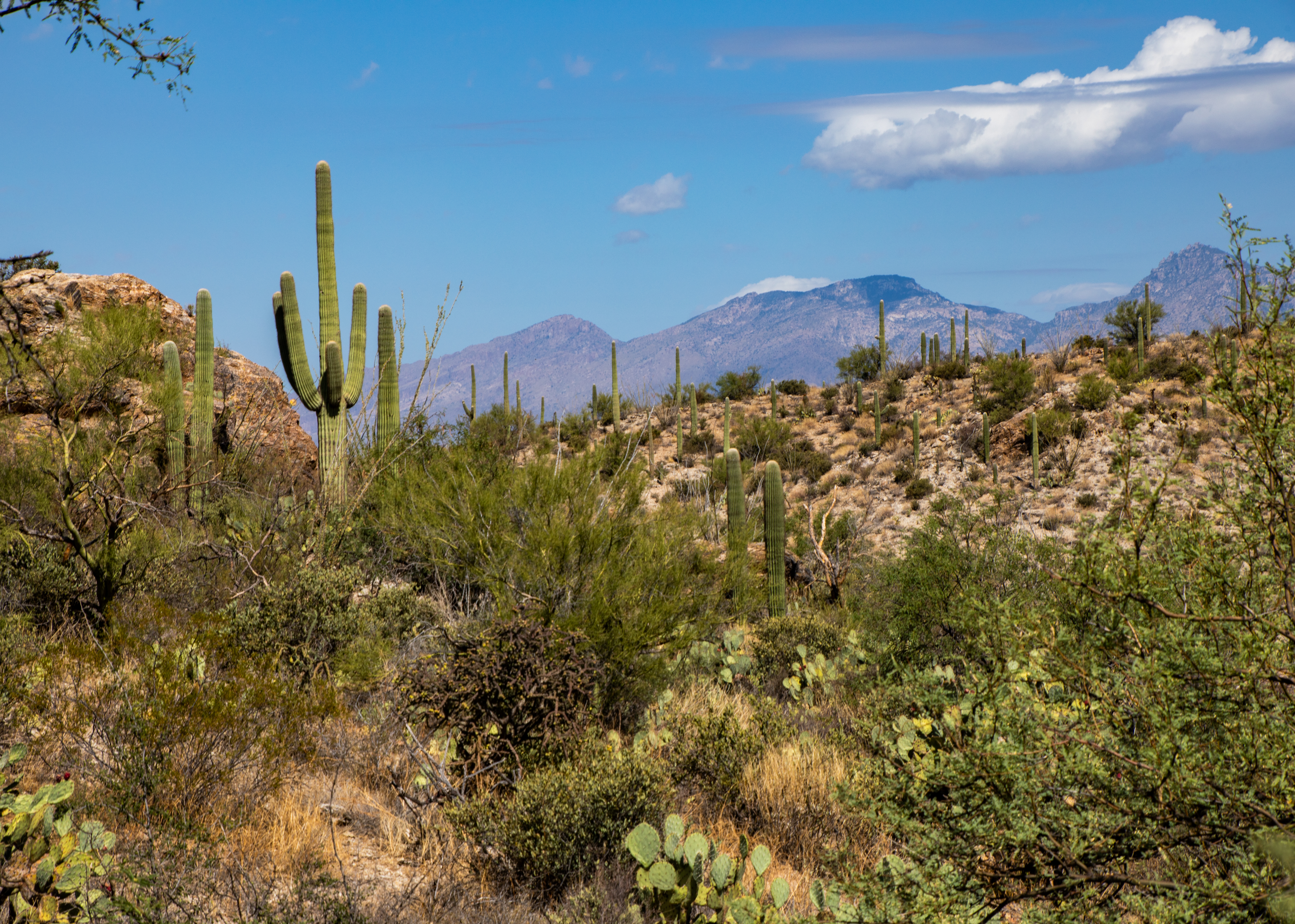
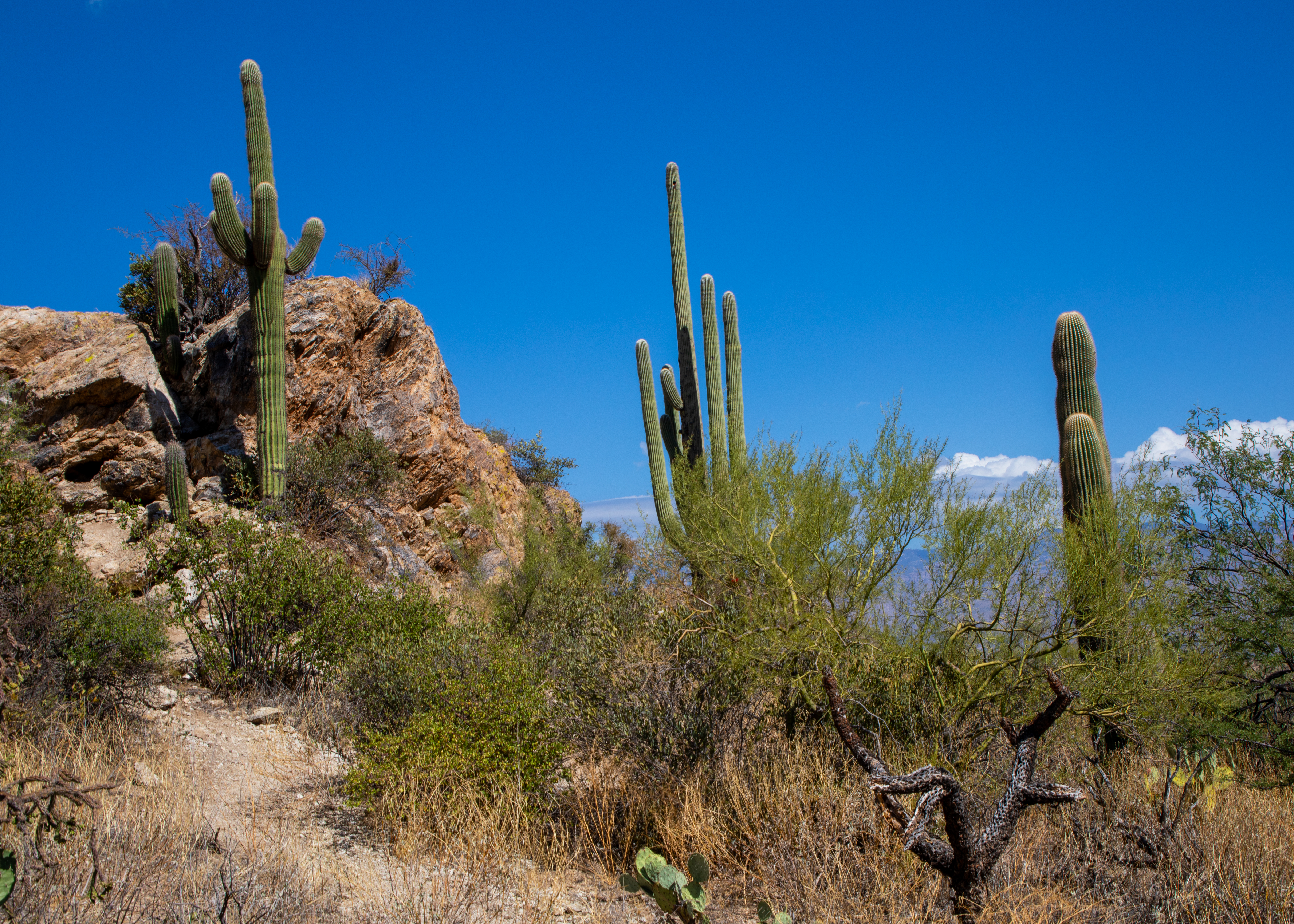
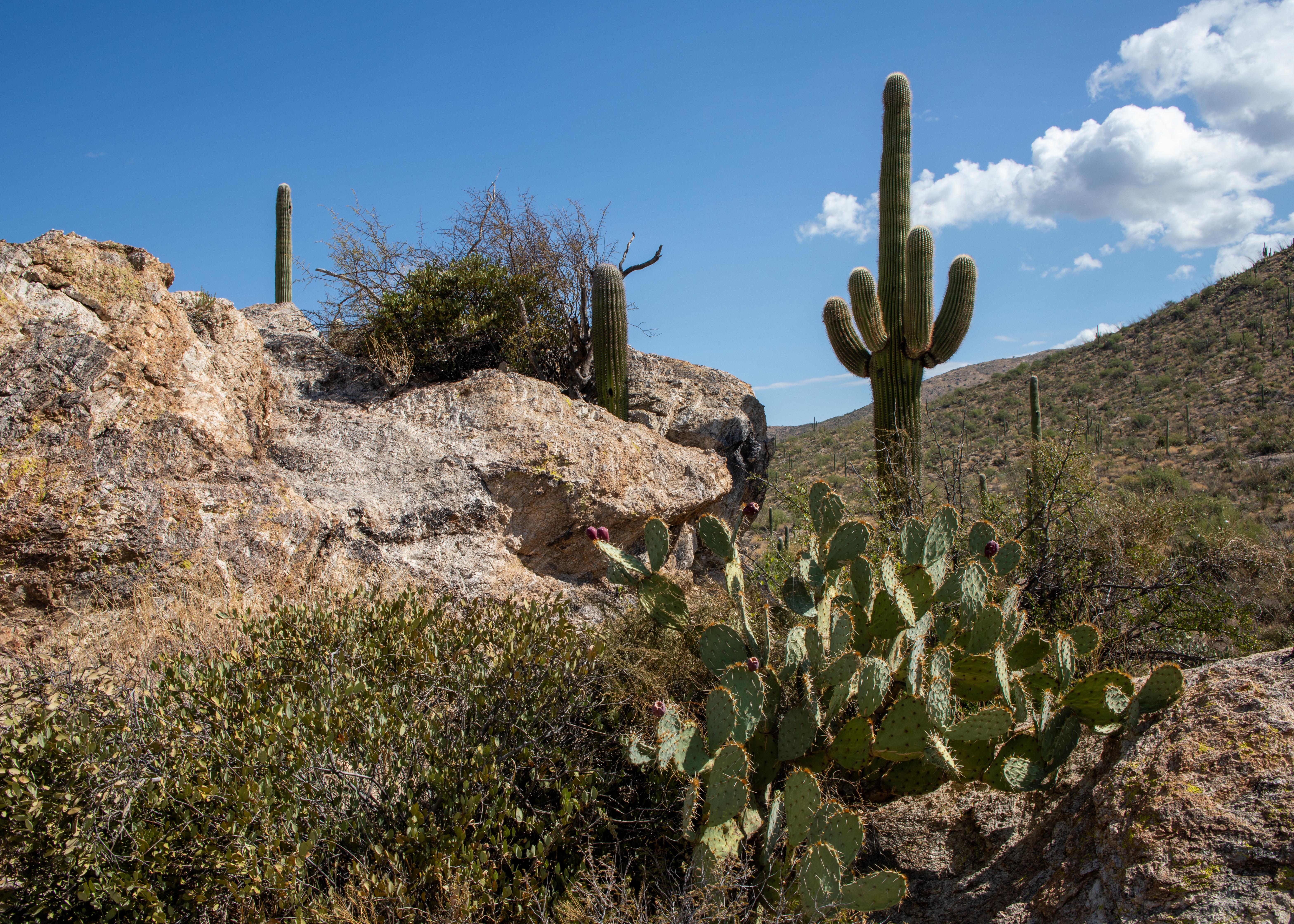
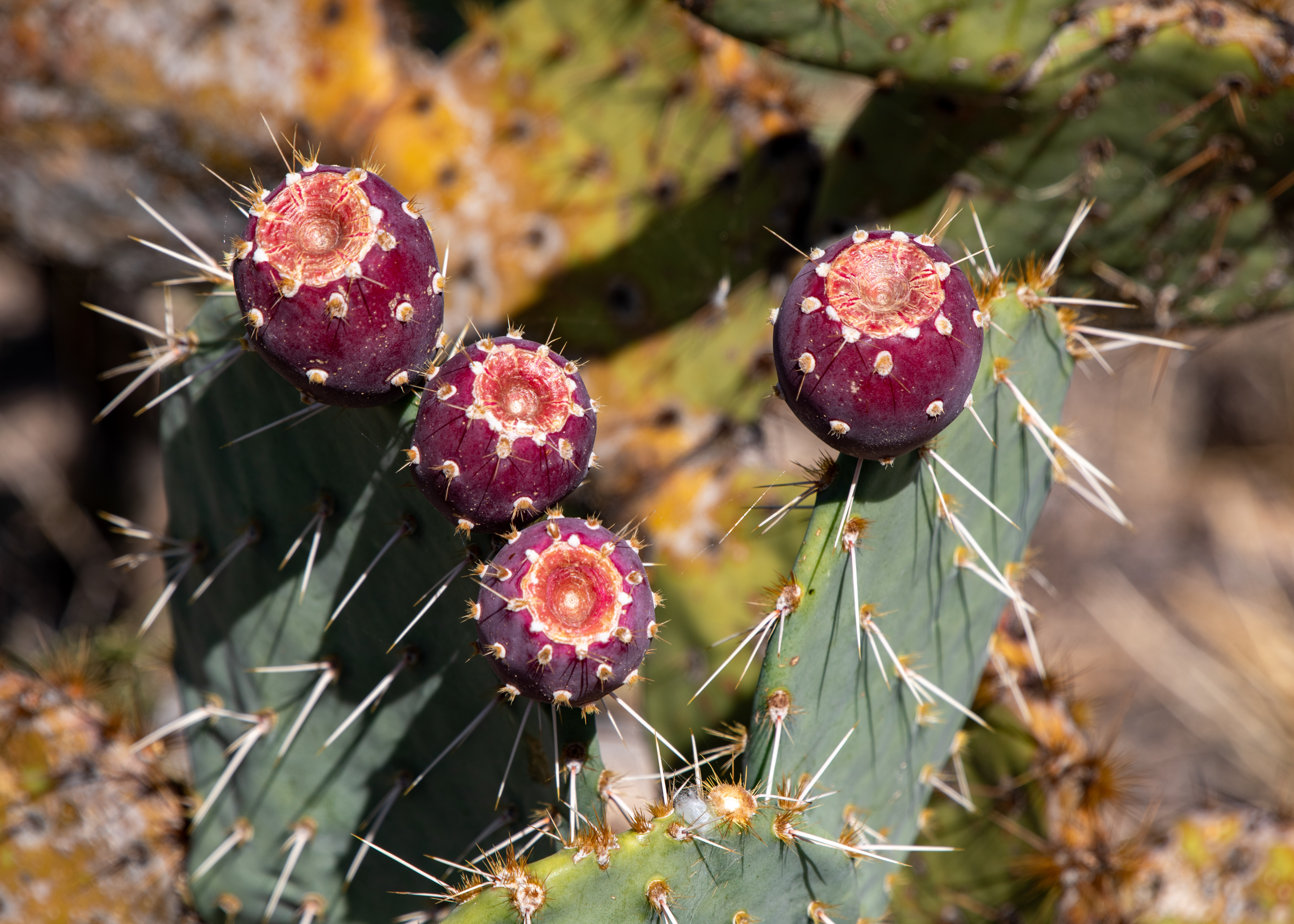
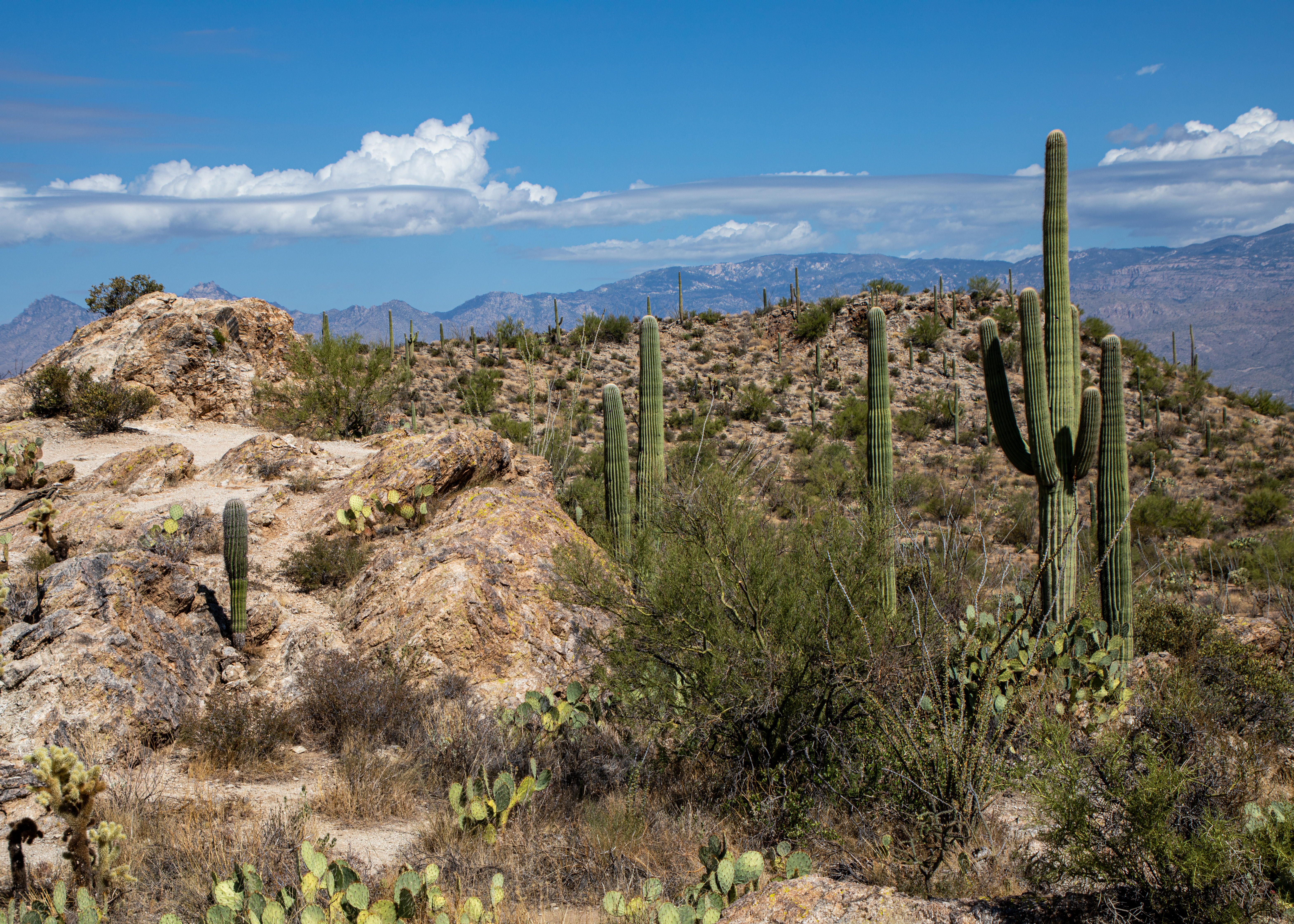
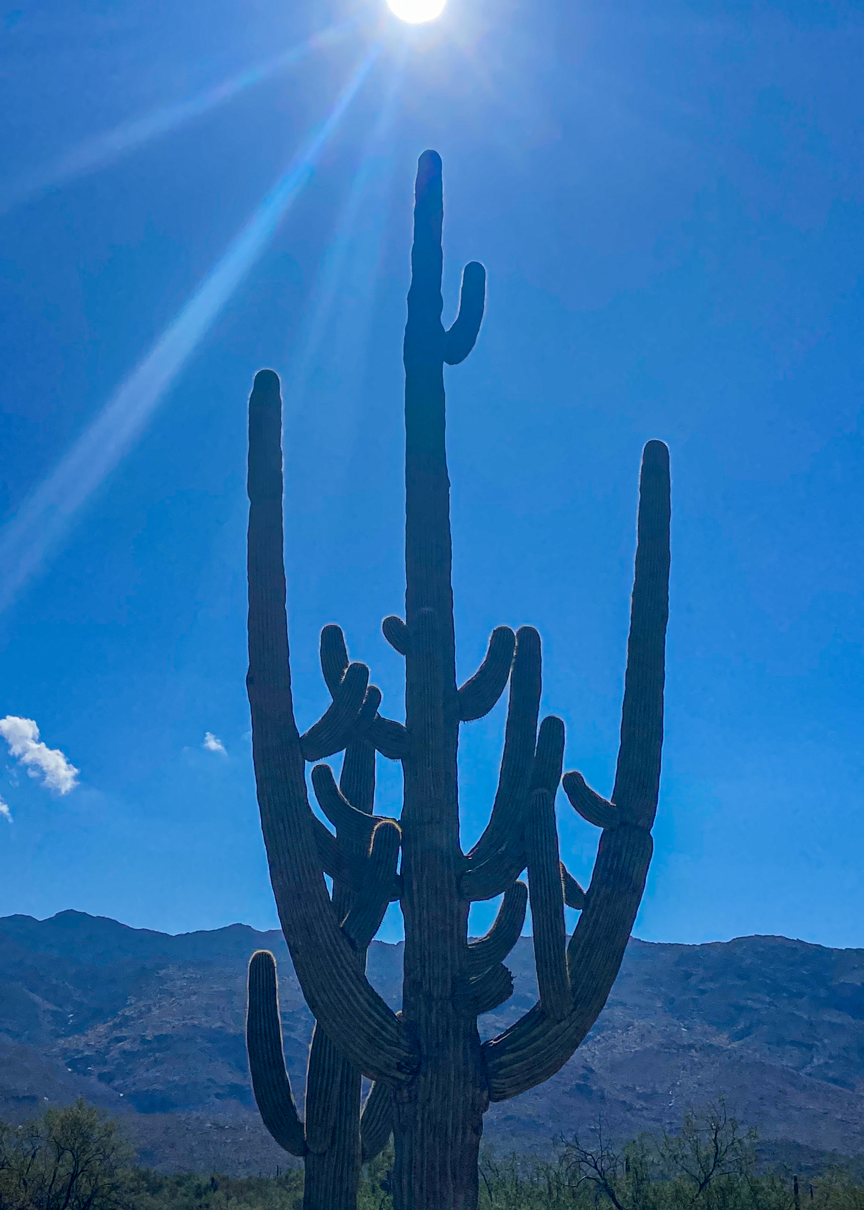
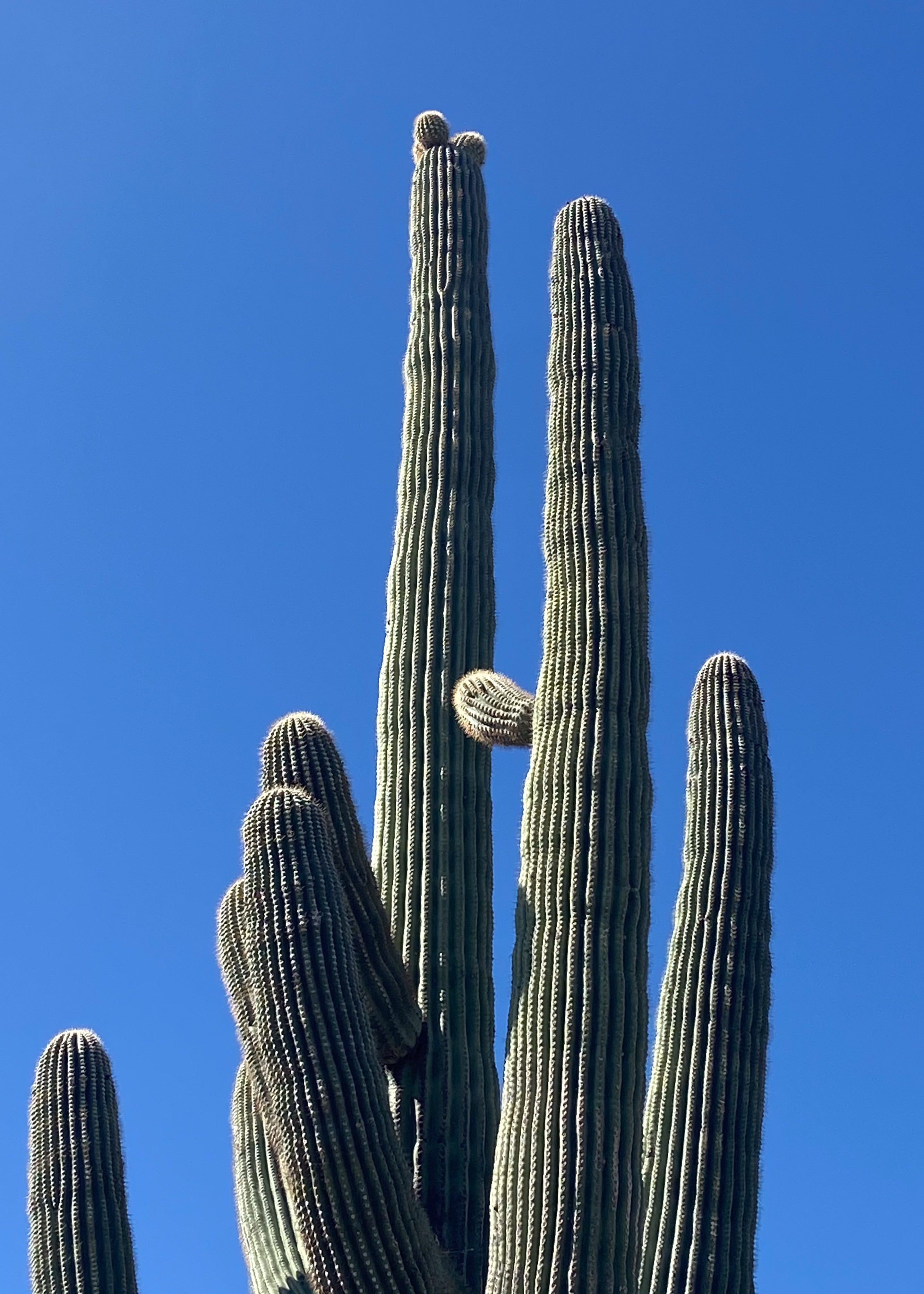
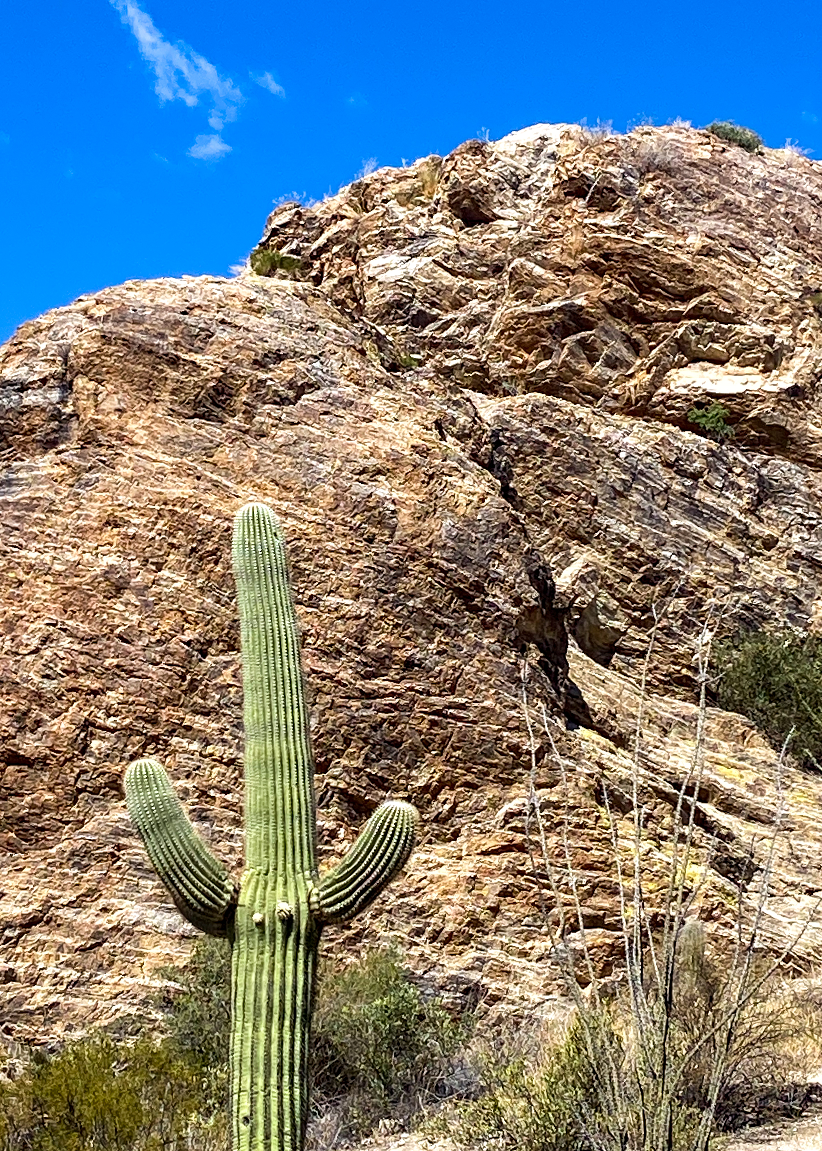
Heading east we spent two days traveling Arizona starting at Saguaro National Park. Tucson, Arizona is home to the nation’s largest cacti. The saguaro (suh-waa-row), the giant cactus, has been an iconic symbol of the American Southwest for ages. These majestic beings are easily recognized by their size and structure, sometimes reaching 50 feet tall.

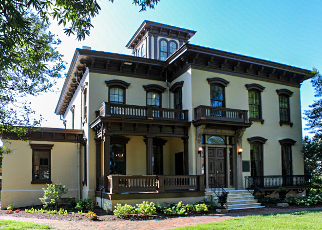
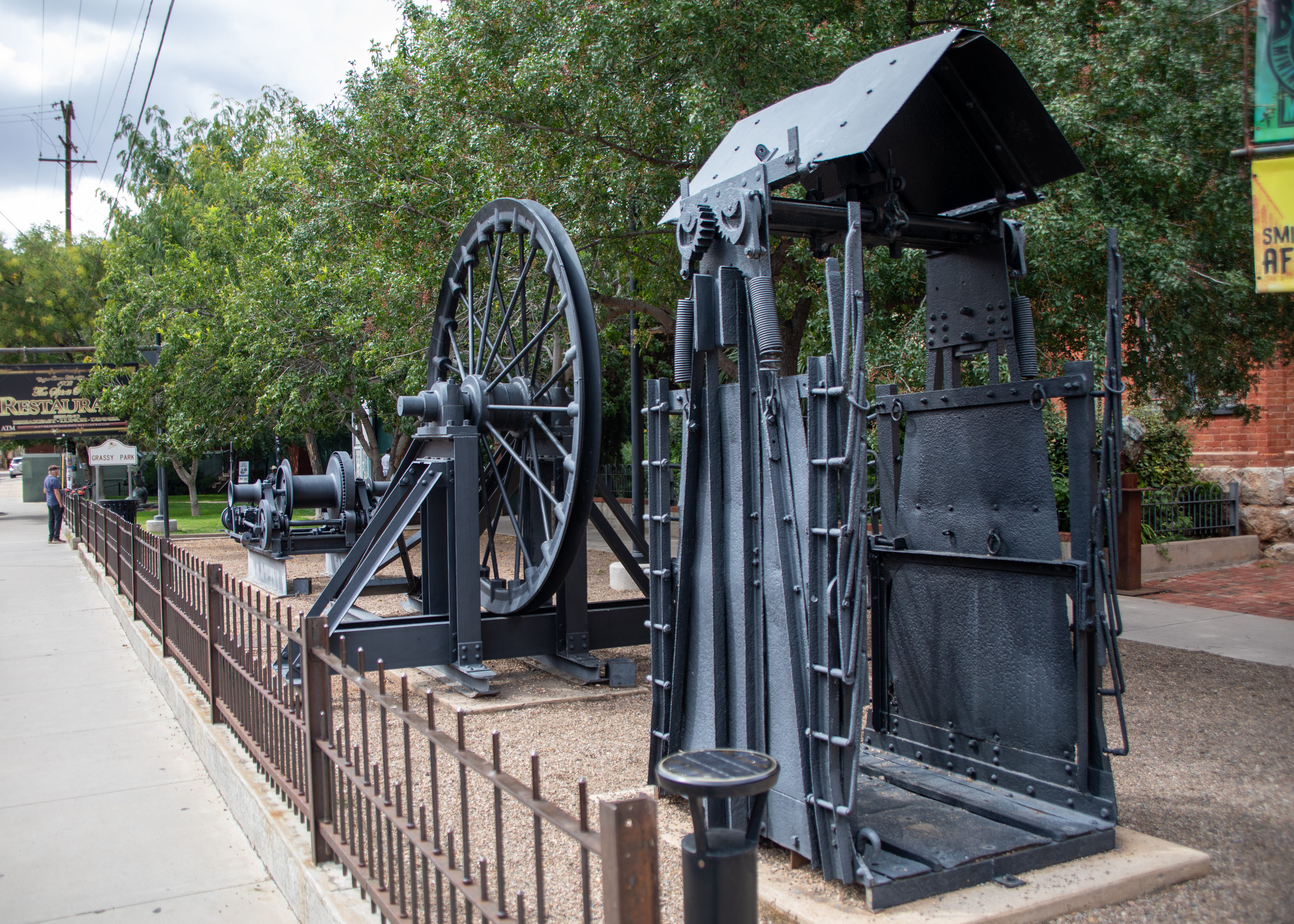
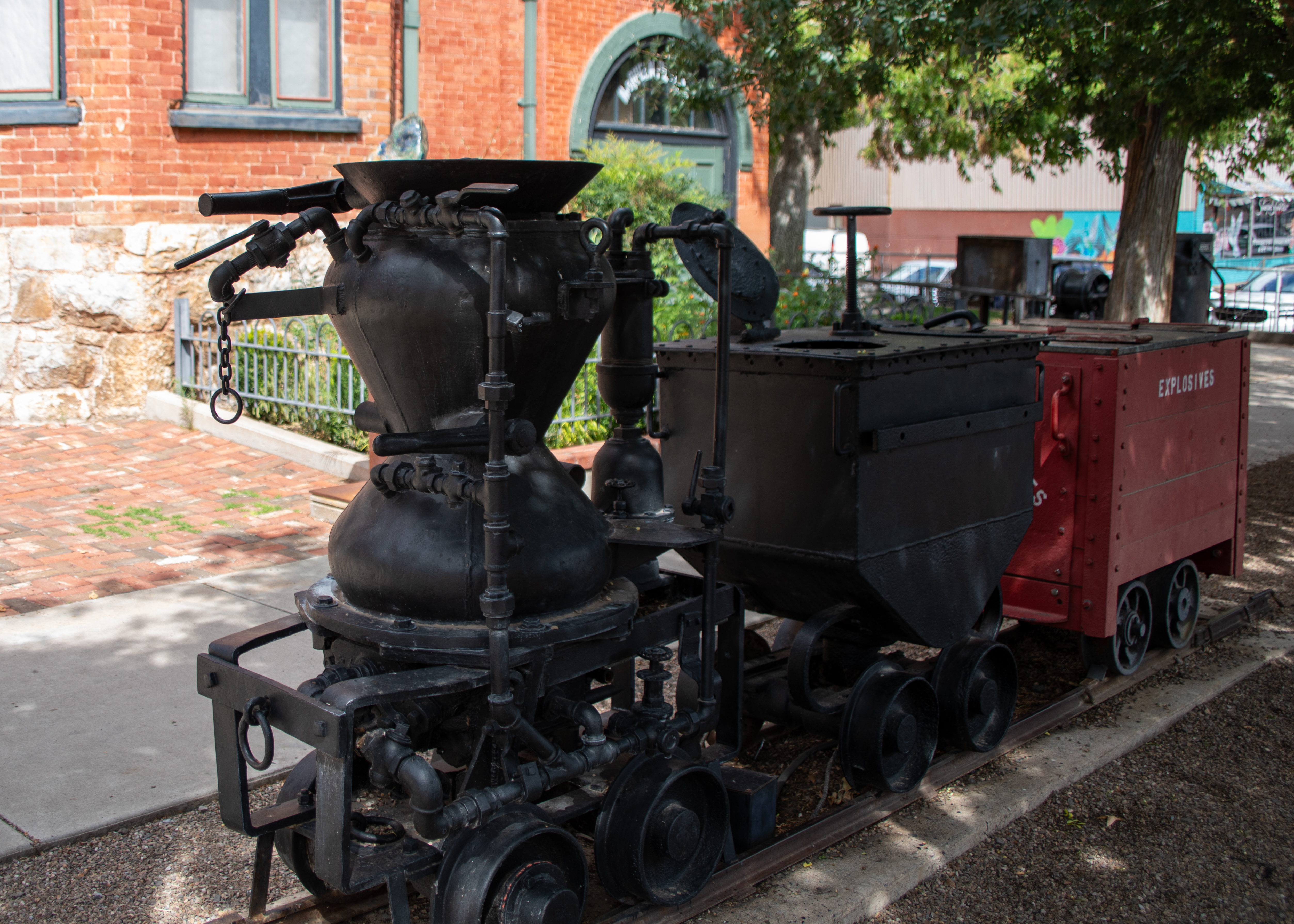
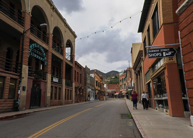
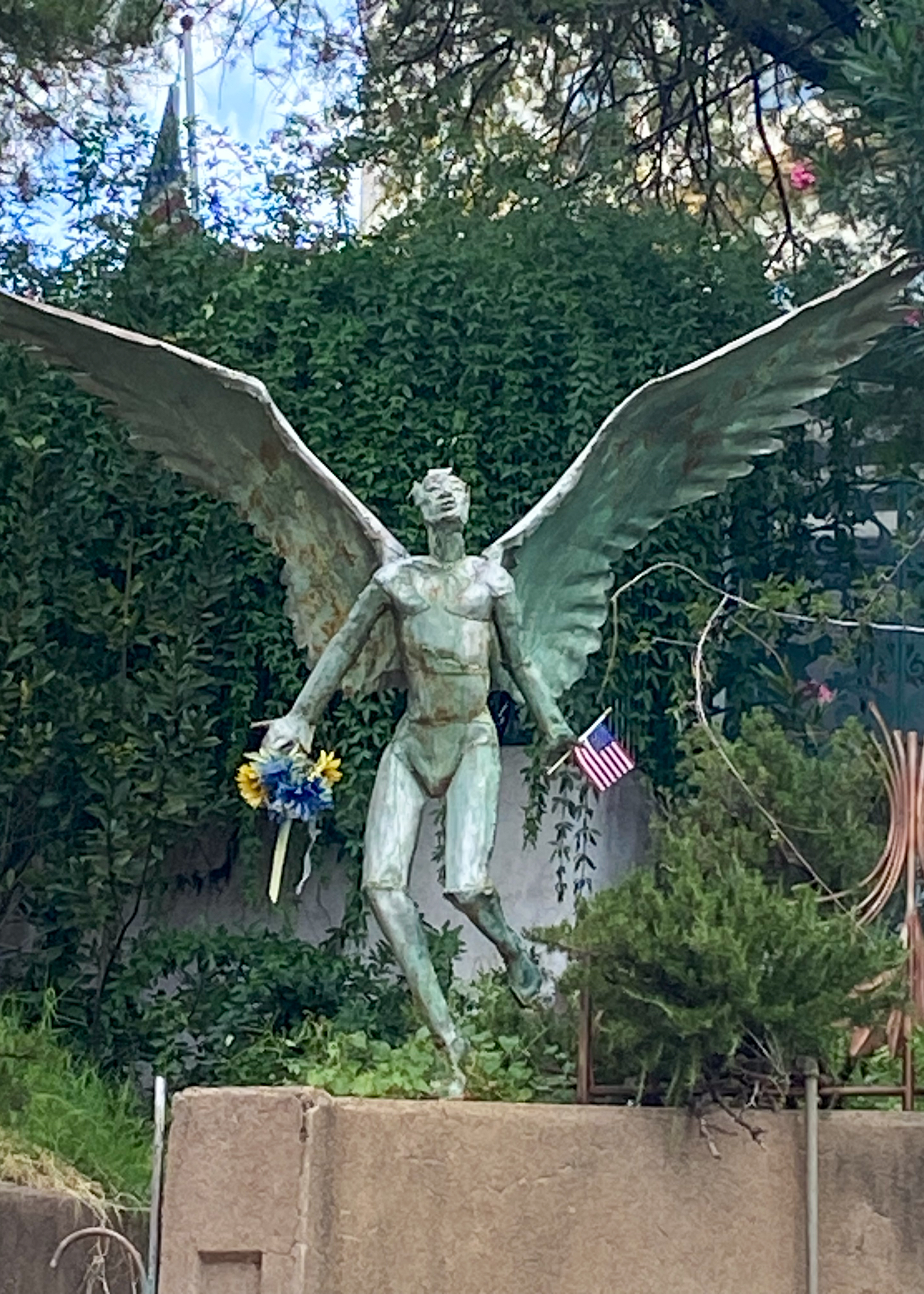
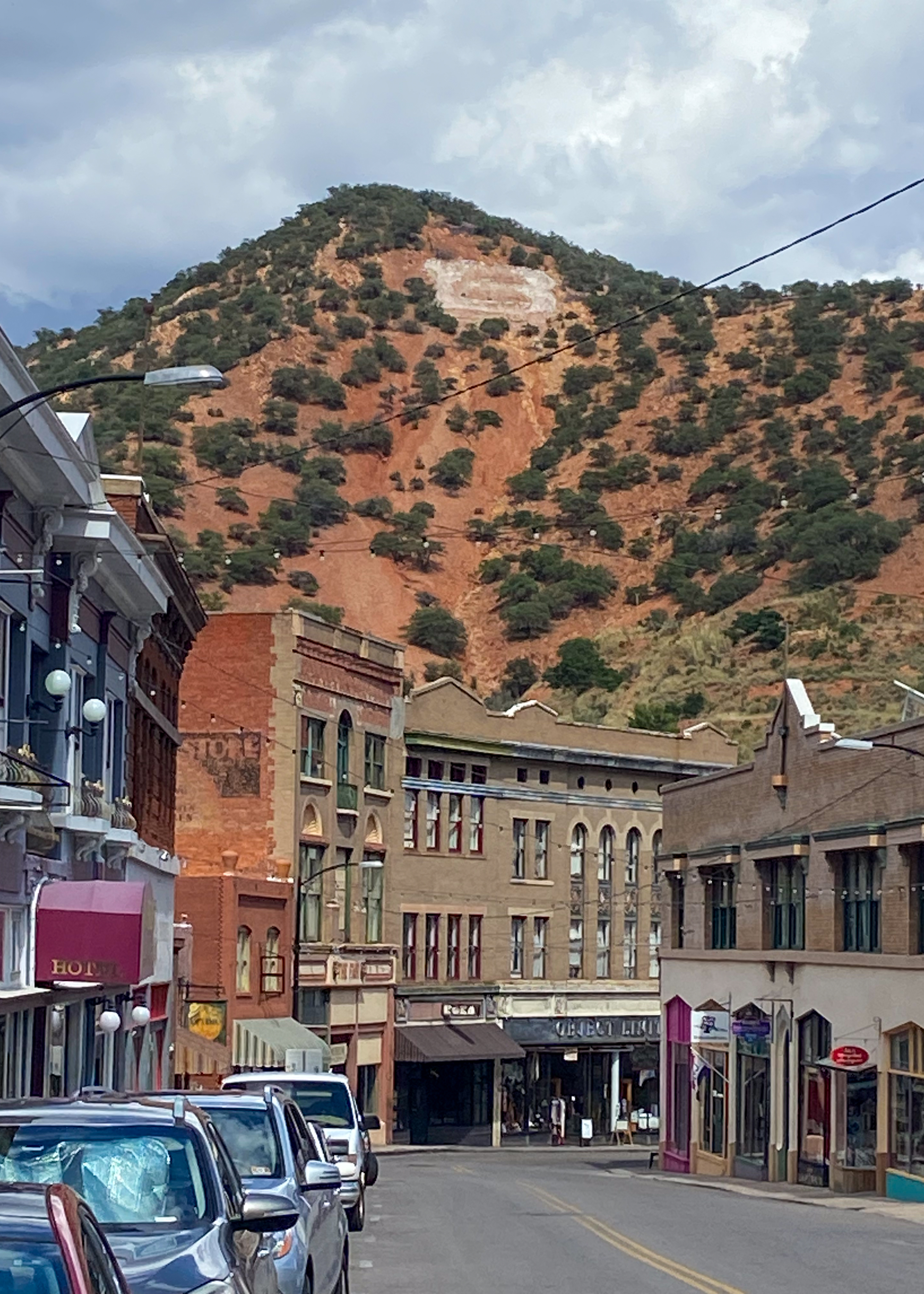
Bisbee was once the largest city in Arizona, bolstered by a thriving mining economy. During almost a century of mining, 8 billion pounds of copper, 102 million ounces of silver, and 2.8 million ounces of gold along with millions of pounds of zinc, lead, and manganese were produced. By 1974 ore reserves had been depleted and December brought the announcement of the impending closure of mining operations in Bisbee. Phelps Dodge curtailed open pit operations that year and ceased underground operations in 1975.

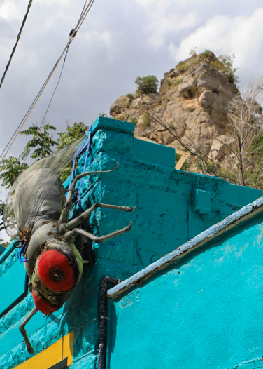
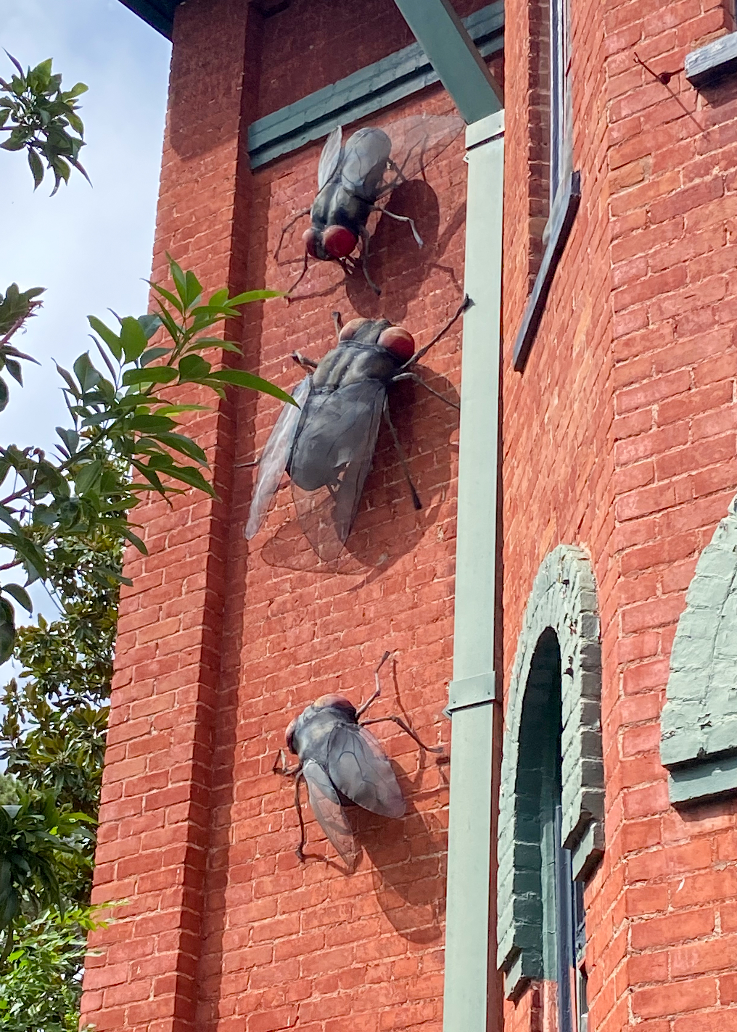
Mosquitoes, flies and more can make a comfortable summer day very uncomfortable. Back in 1912, the community of Bisbee decided to gamify their bug response by offering rewards for the most avid flyswatters. After multiple outbreaks of typhoid, Bisbee, Arizona decided it was tired of these bugs showing up in significant numbers and making people sick. For the entire month of August 1912, the town encouraged residents to catch as many “advance agents of pestilence” end quote as they could. Whoever had smacked and/or caught the most flies at the end won a prize. That winner was Richard Phillips, who brought in around half a million former insects and won… ten bucks.

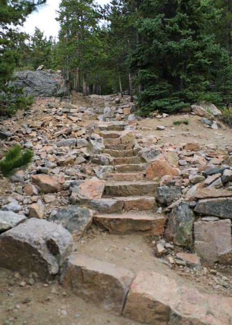
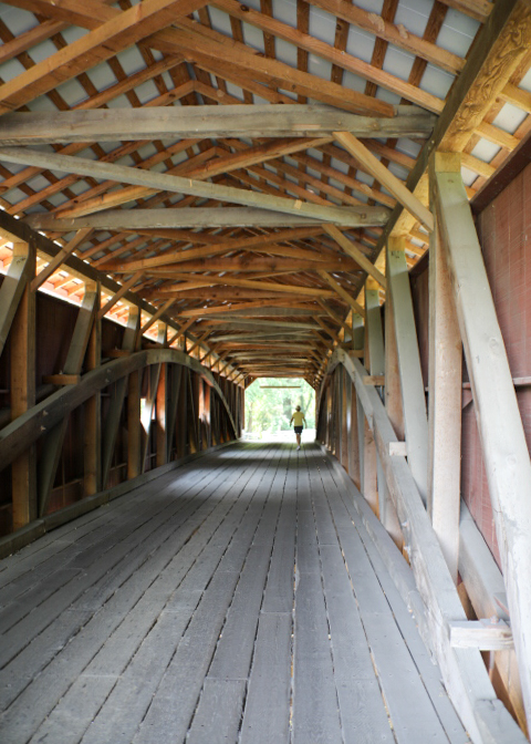
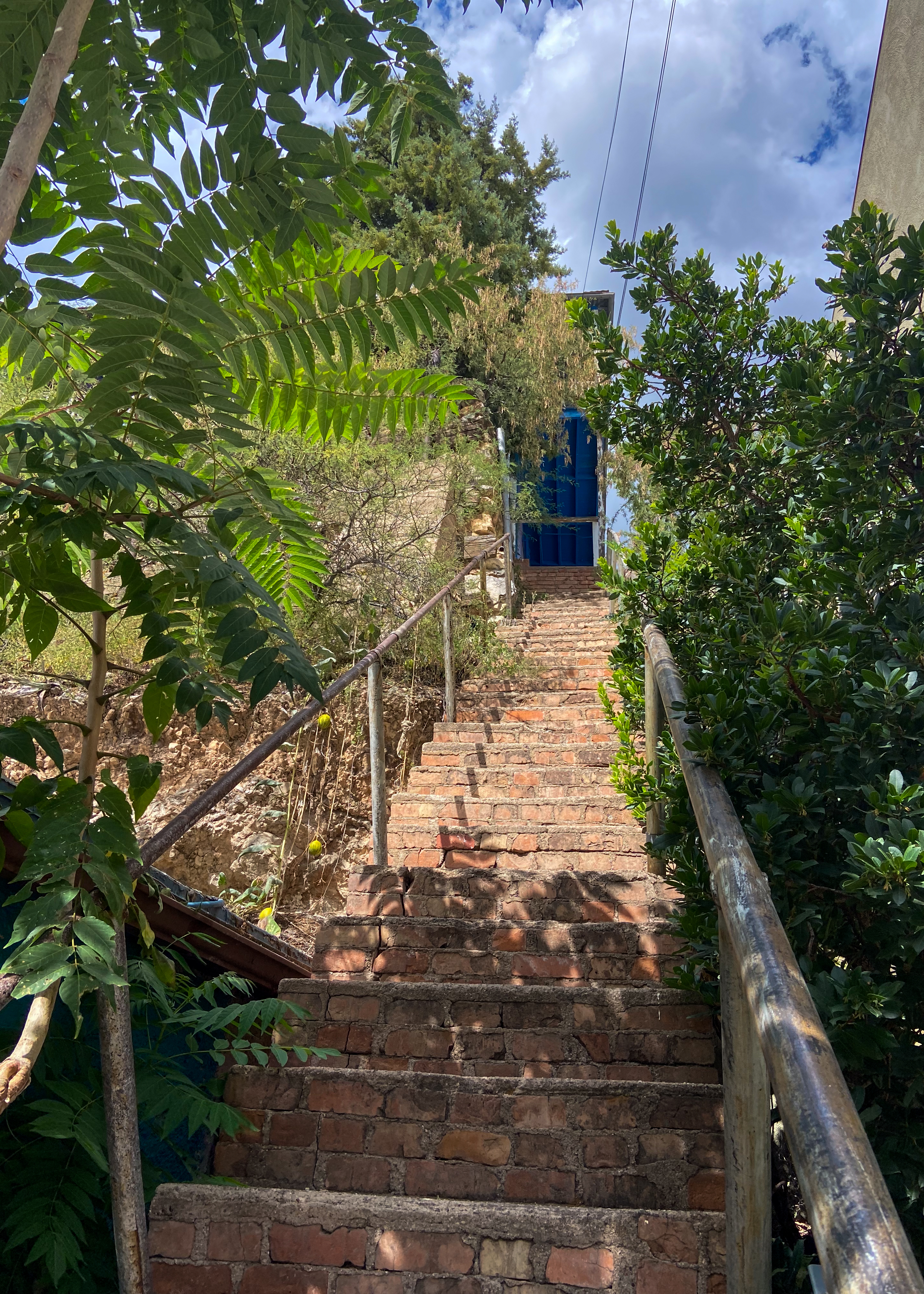
And if you are up for it the most unique physical fitness challenge (or friendly fitness walk) in the USA! Bisbee 1000 The Great Stair Climb is arguably one of the most unusual and challenging events in the world. The 4.5-mile course features nine staircases (over 1000 total steps) connected by winding roads.

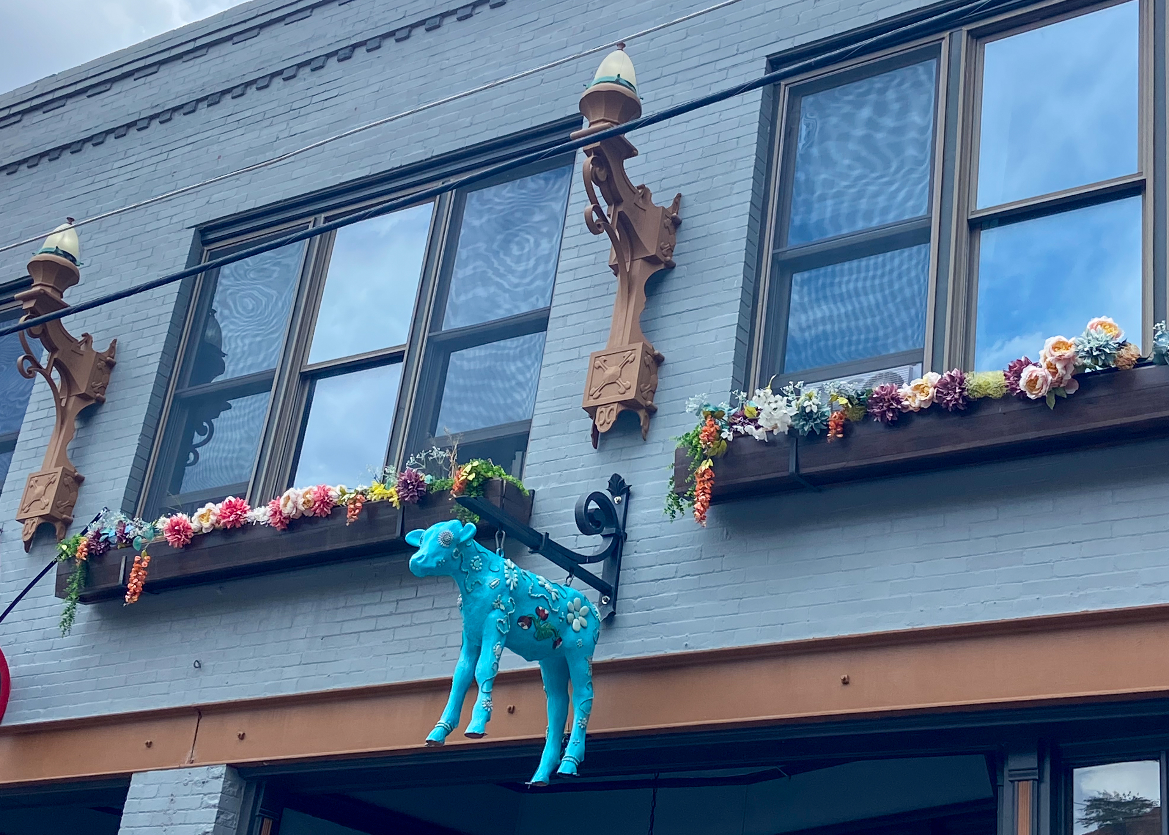
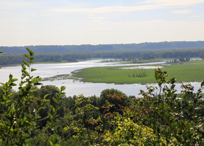
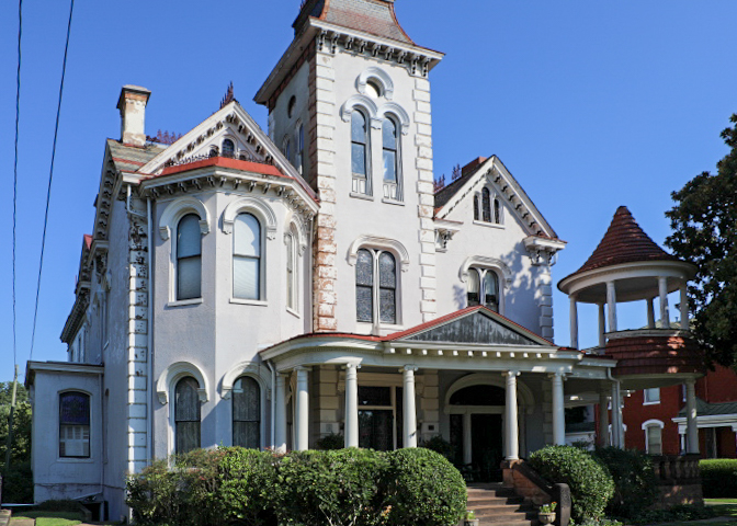
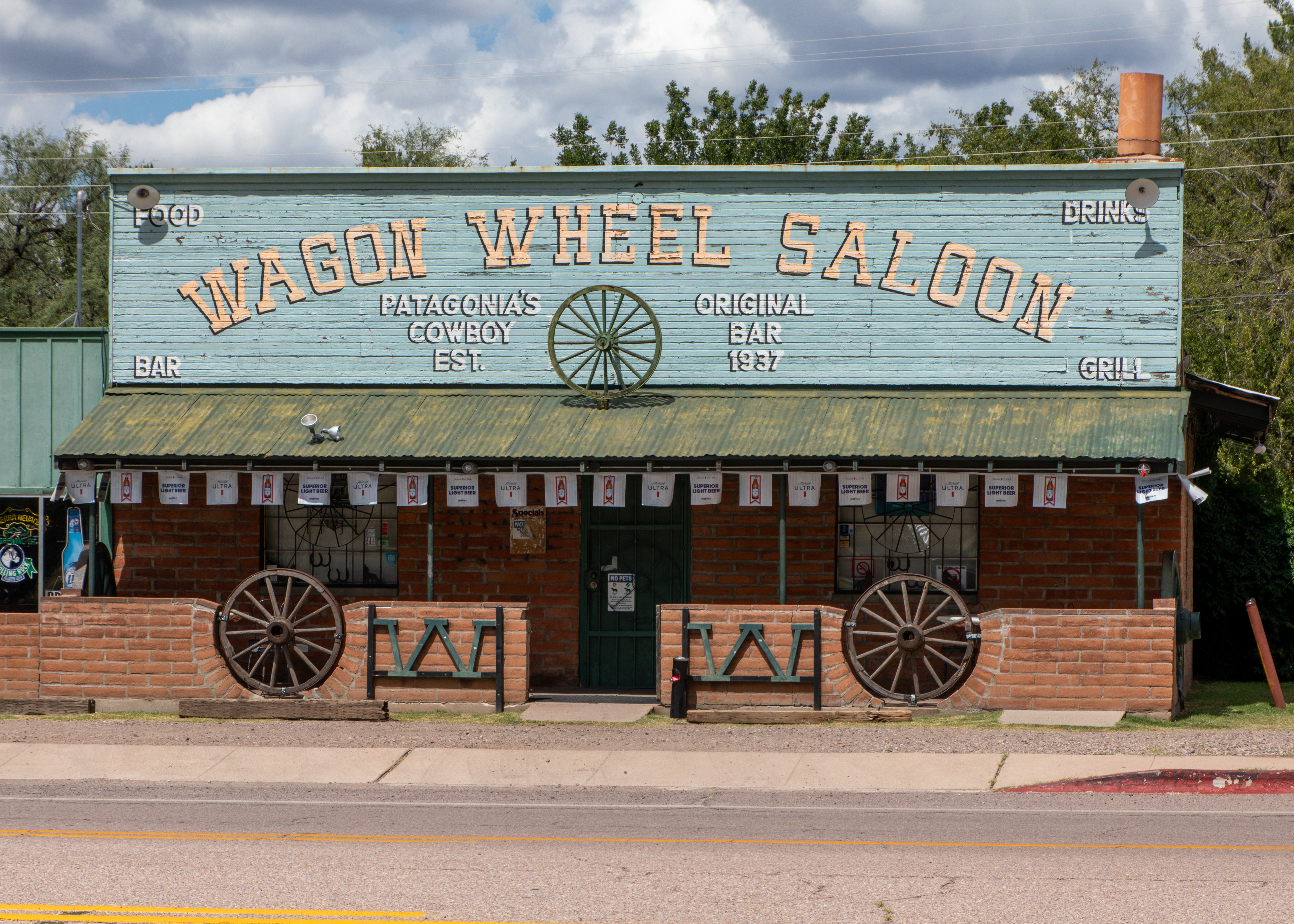
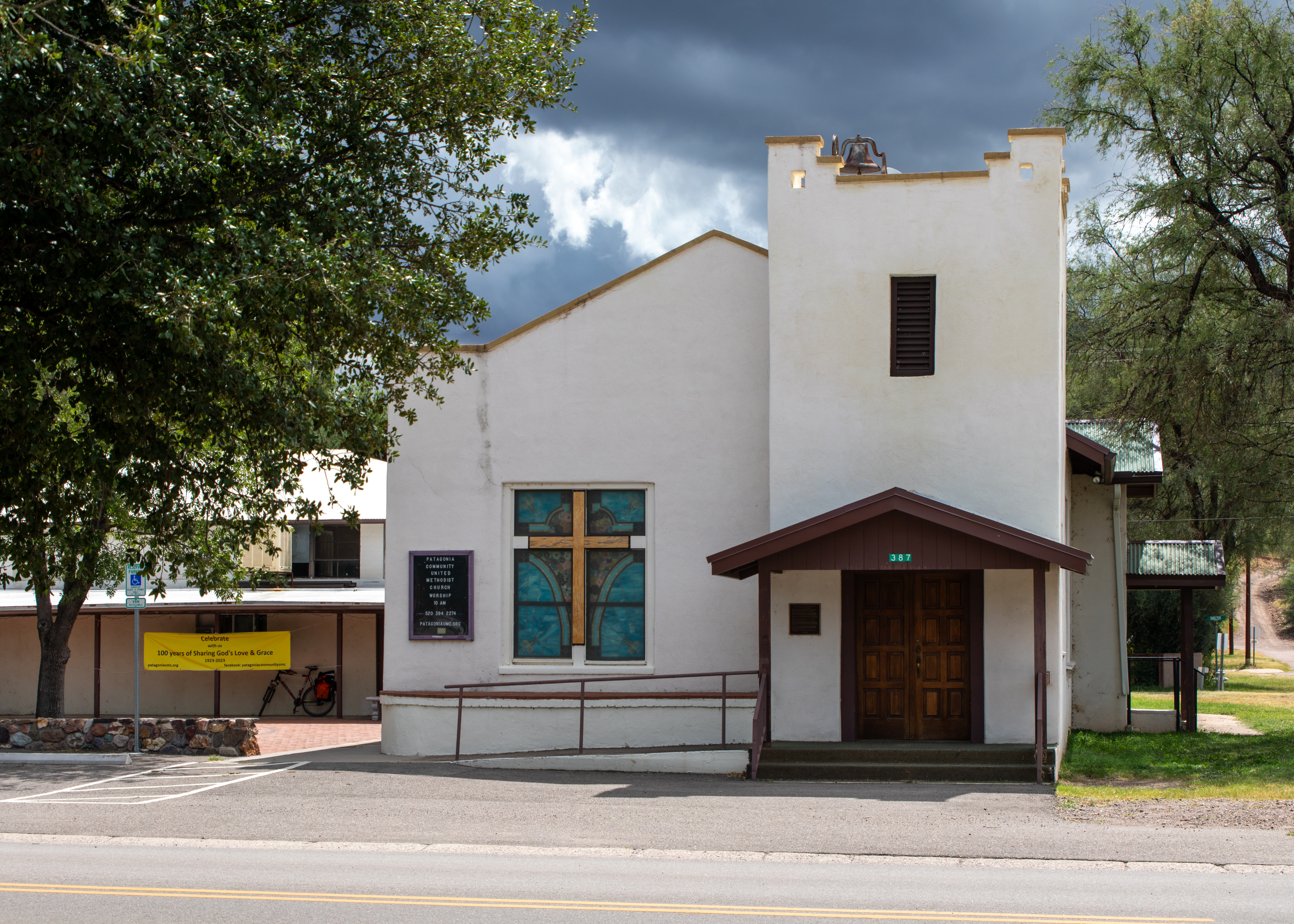
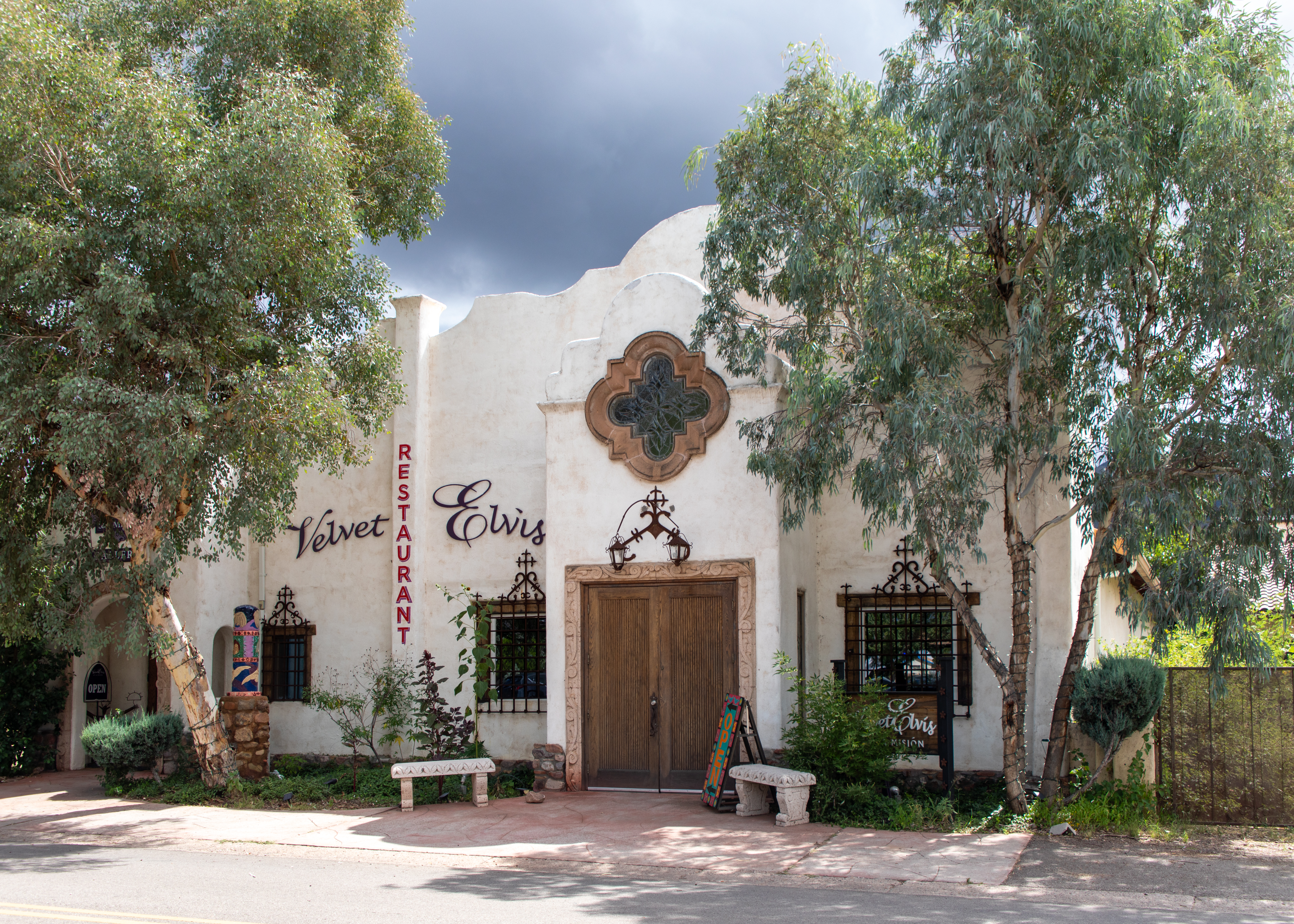
Patagonia (the jewel of the Sonoita valley so says National Geographic Guide to Small Town Escapes —NOT) is a hamlet that rests between the Santa Rita Mountains and the Patagonia Mountains. Set among rich foothills, valleys, and towering trees, Patagonia has been called the “Jewel” because of its natural beauty. Since early days, Patagonia’s oak grasslands, at over 4,000 feet have provided excellent climate and terrain for cattle ranching, and the Patagonia Mountains, filled with rich ore bodies, have attracted miners. Too bad today it was a wasted 200-mile trip for us.

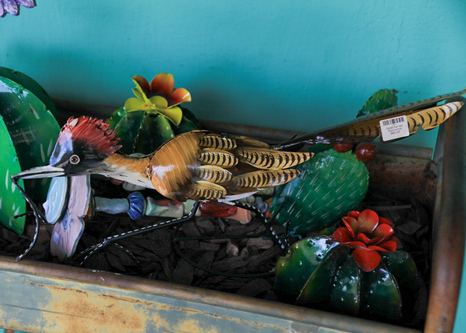
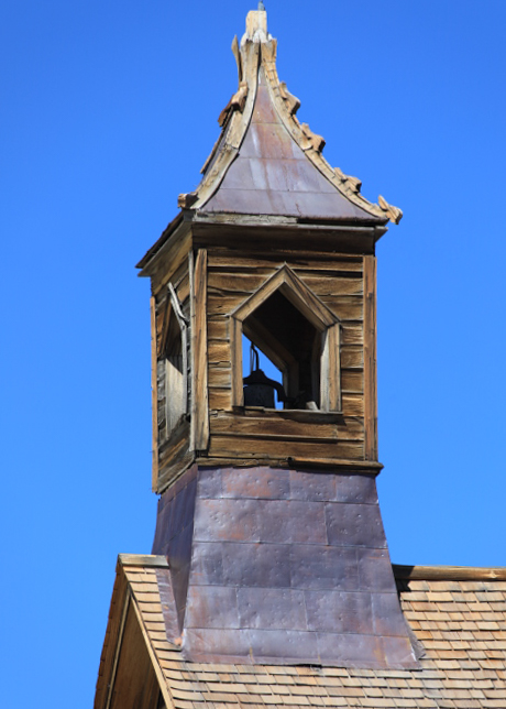
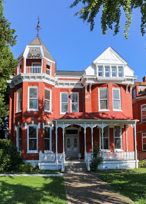
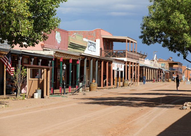
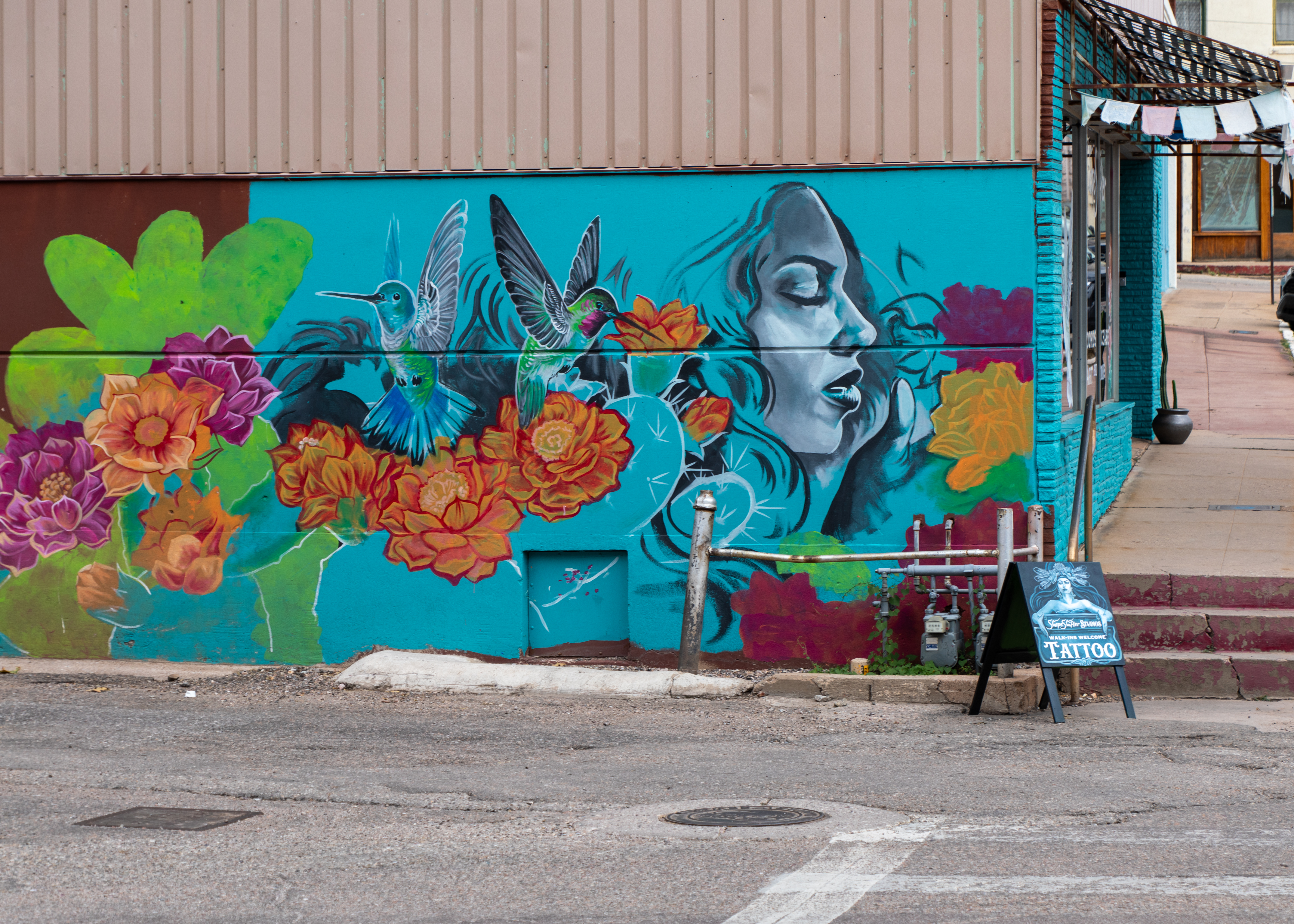
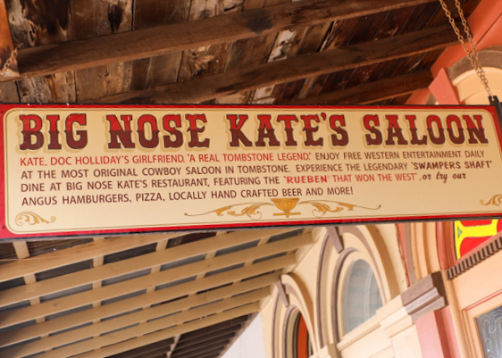
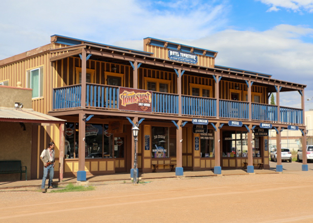
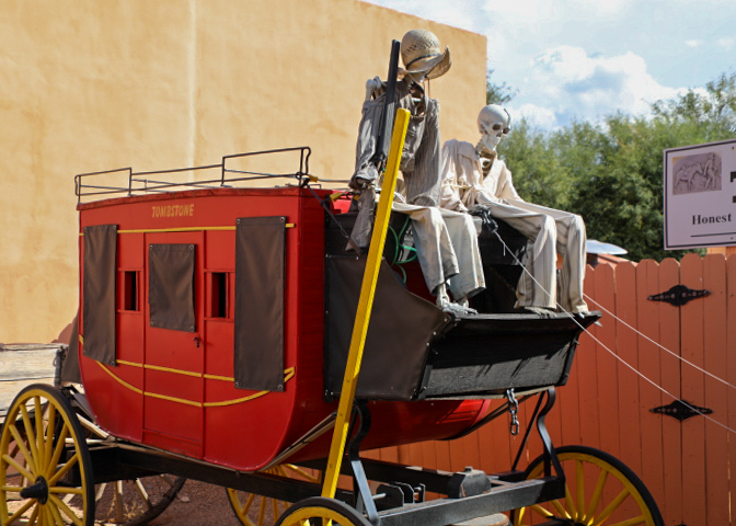
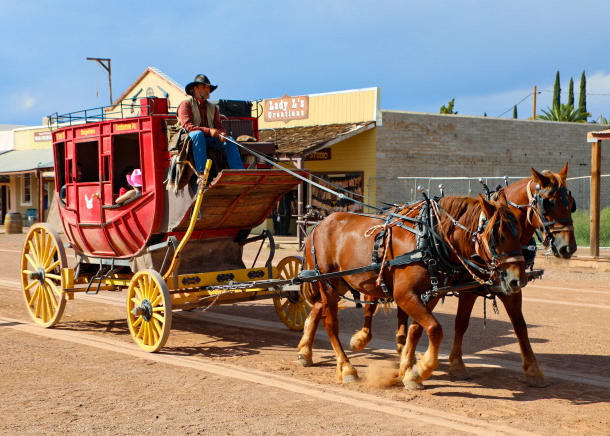
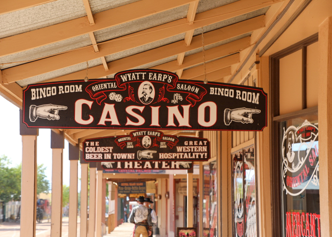
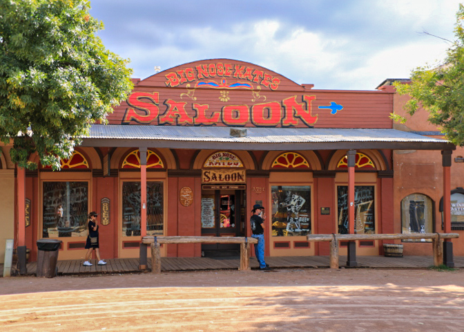
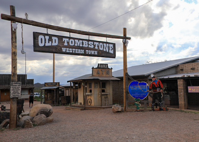
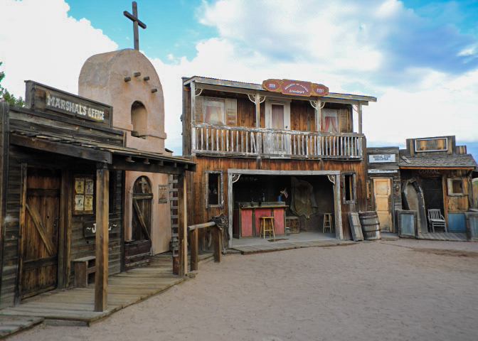
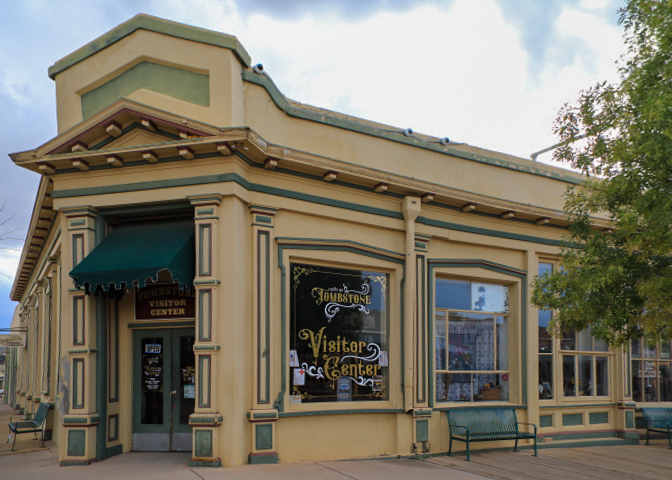
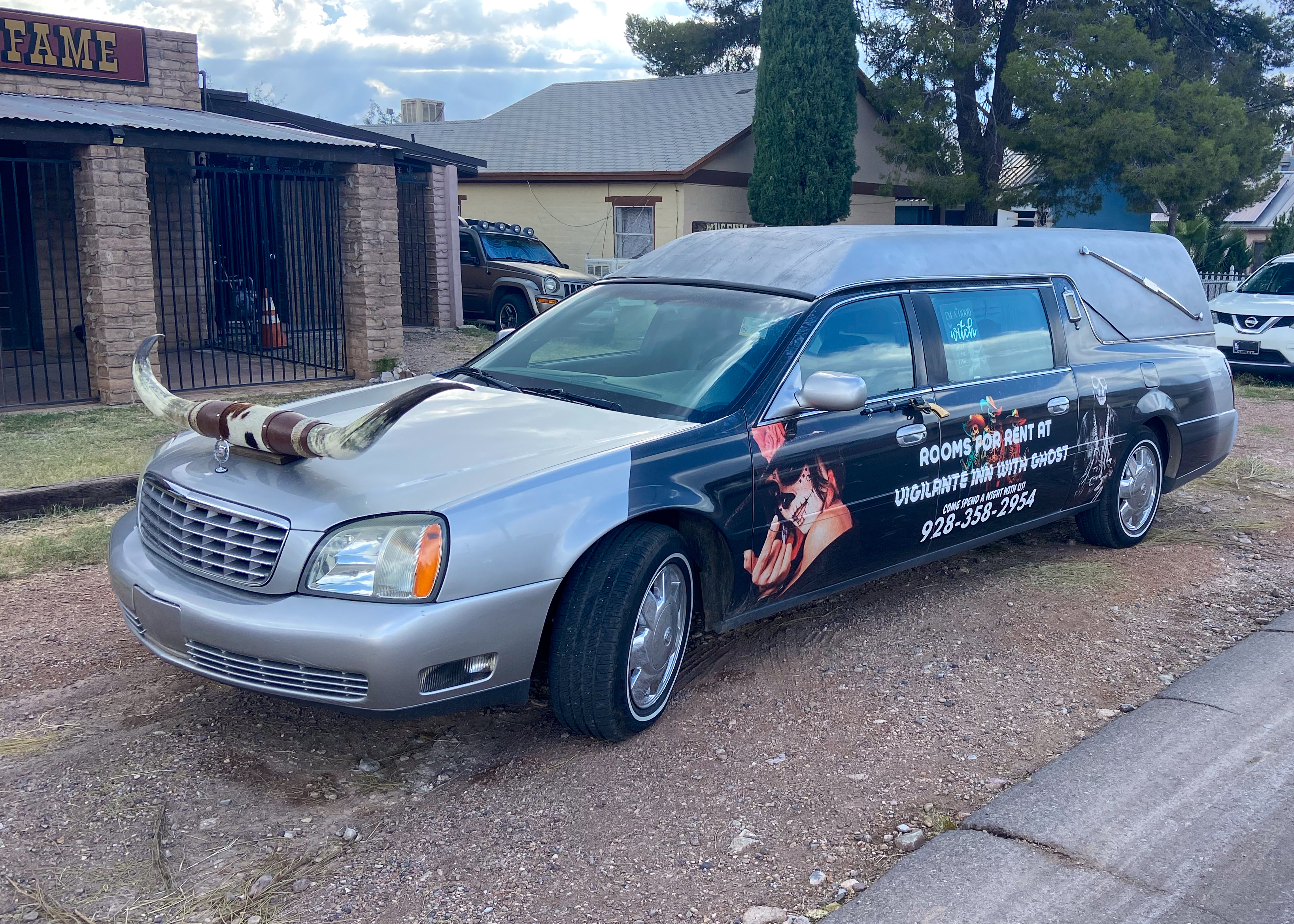
Tombstone AZ – otherwise known as the “Town too Tough to Die” is the home of the infamous Gunfight at the OK Corral, Boot Hill Graveyard, and the World’s Largest Rose Bush.  Tombstone, AZ boasts of many shops, gunfight shows, re-enactments, and museums.  Just a bad tourist attraction today.

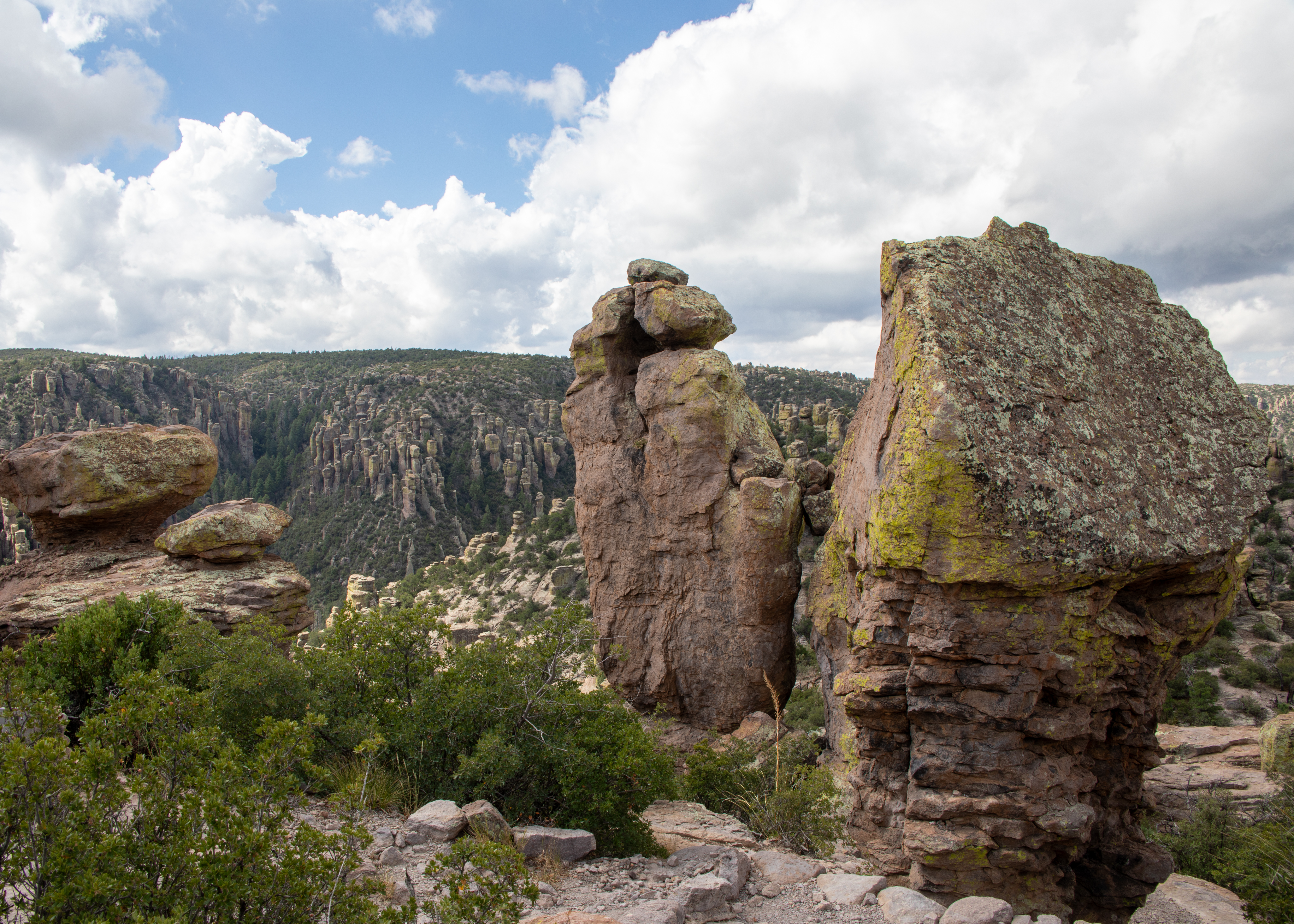
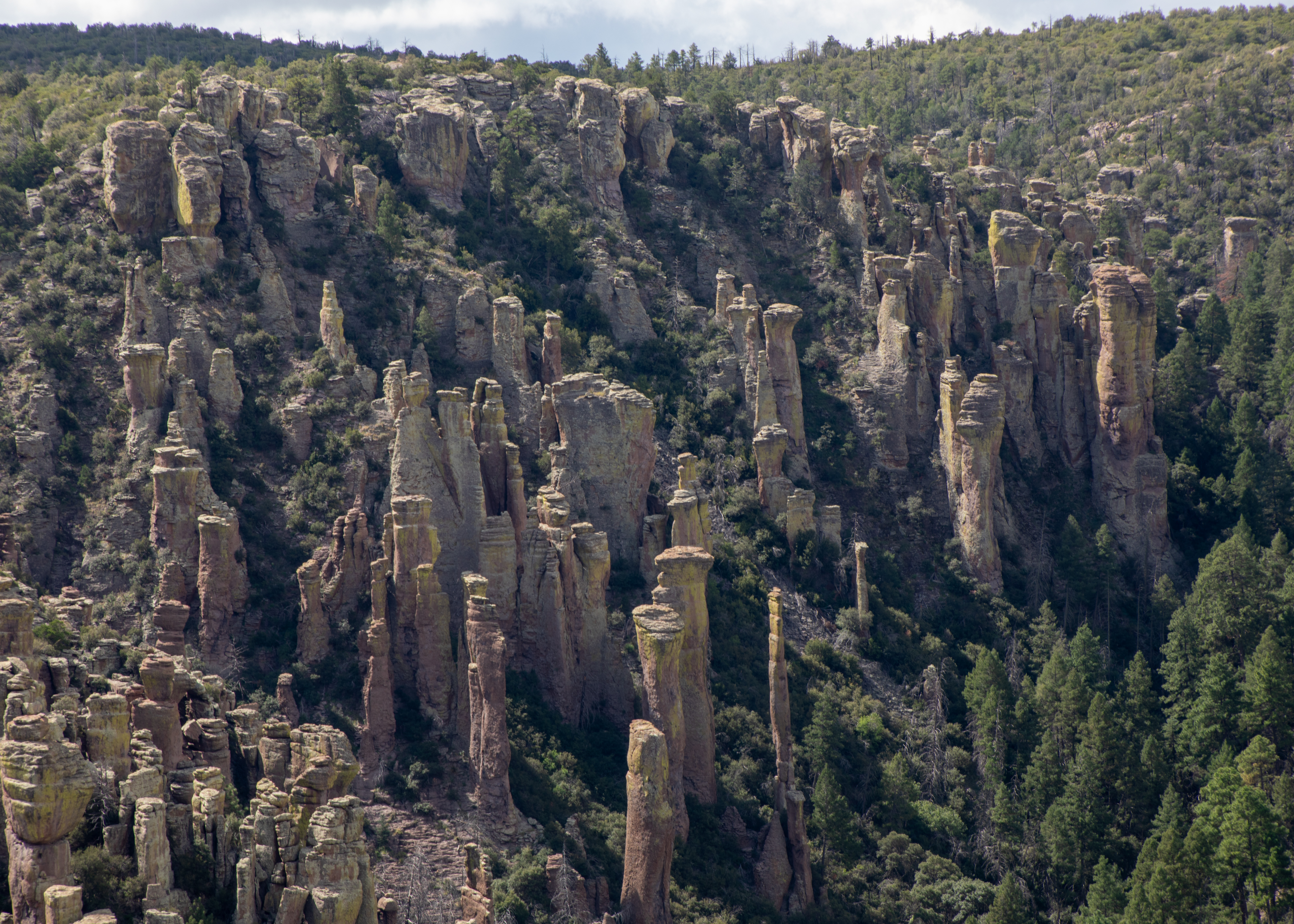
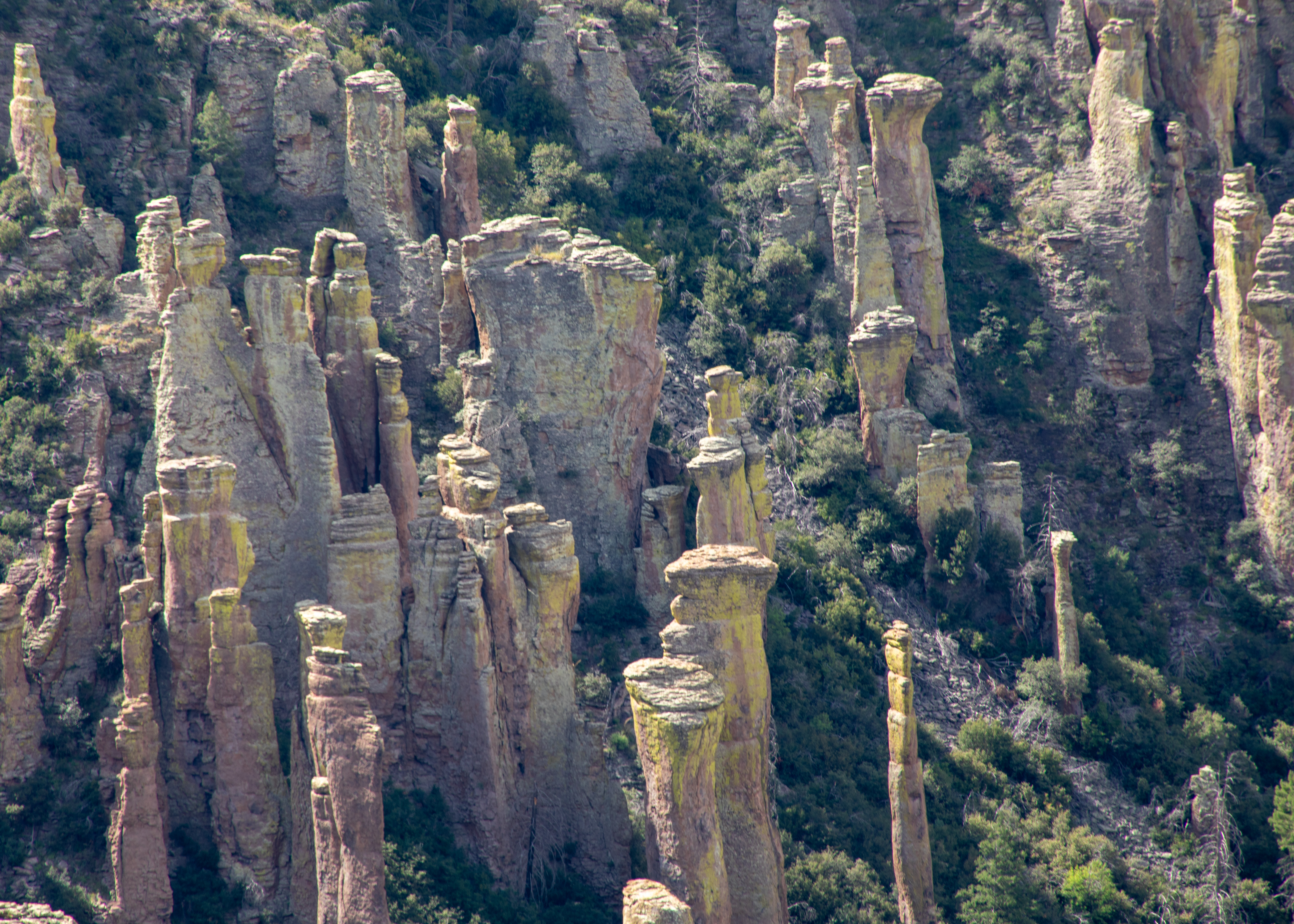
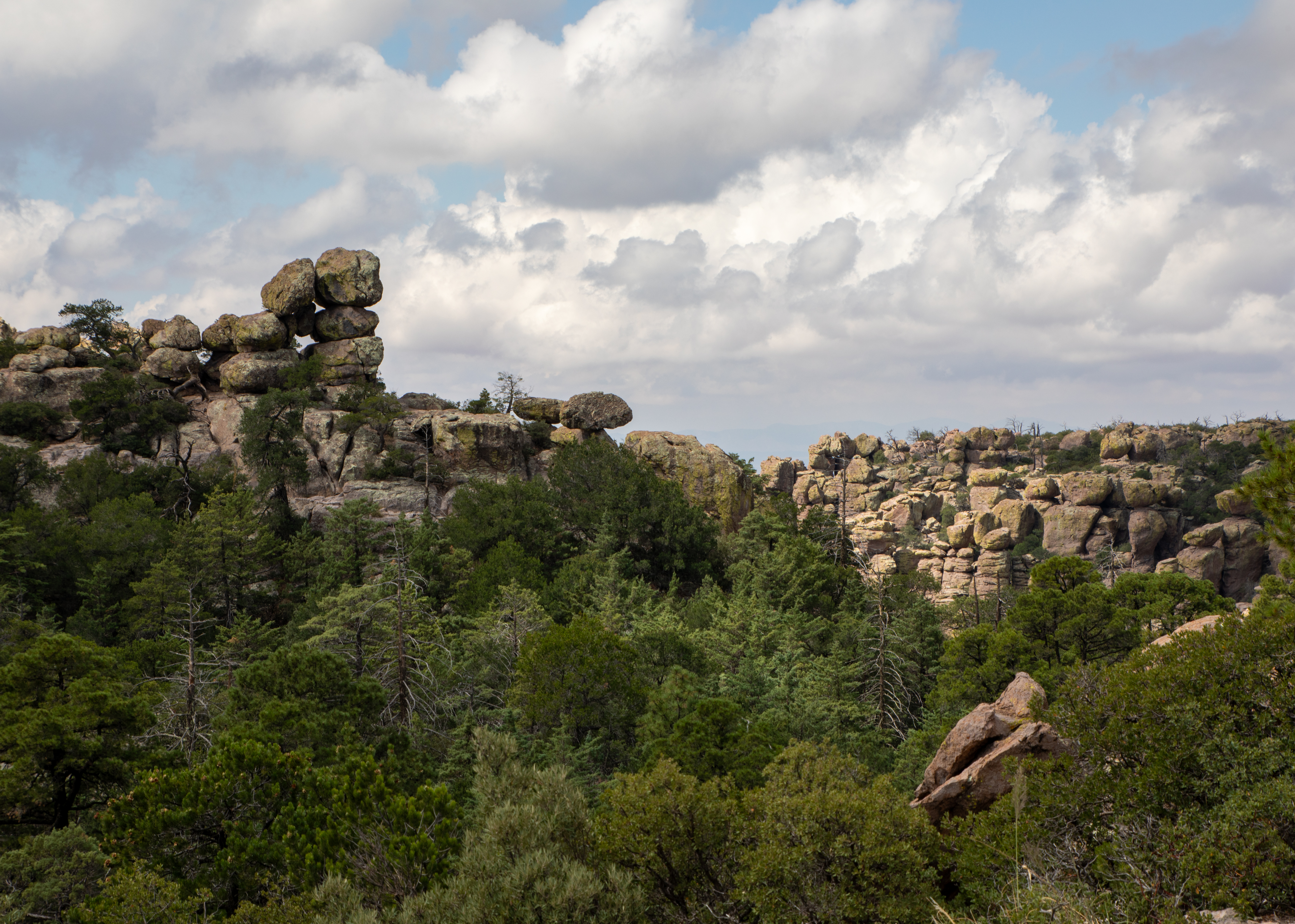
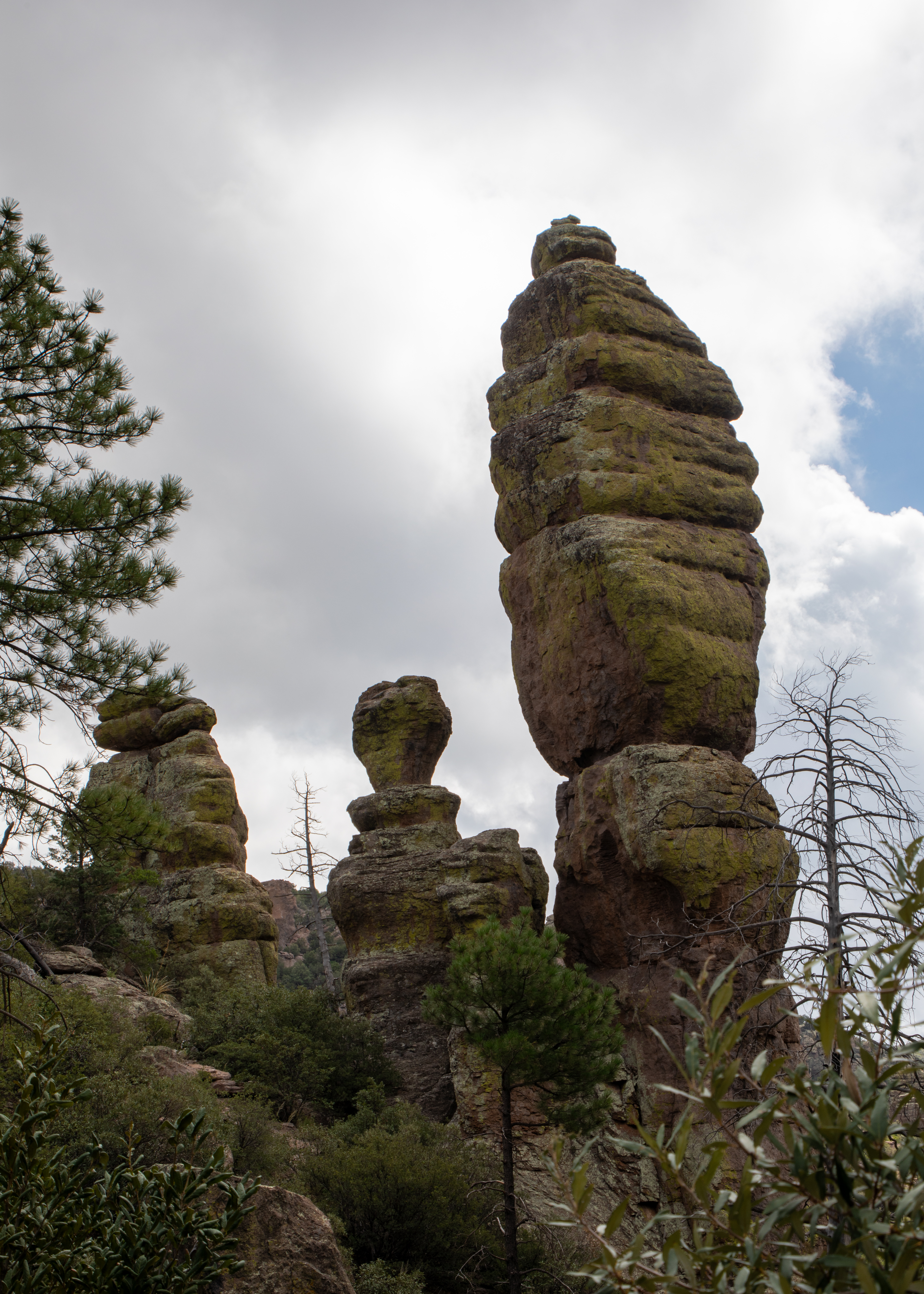
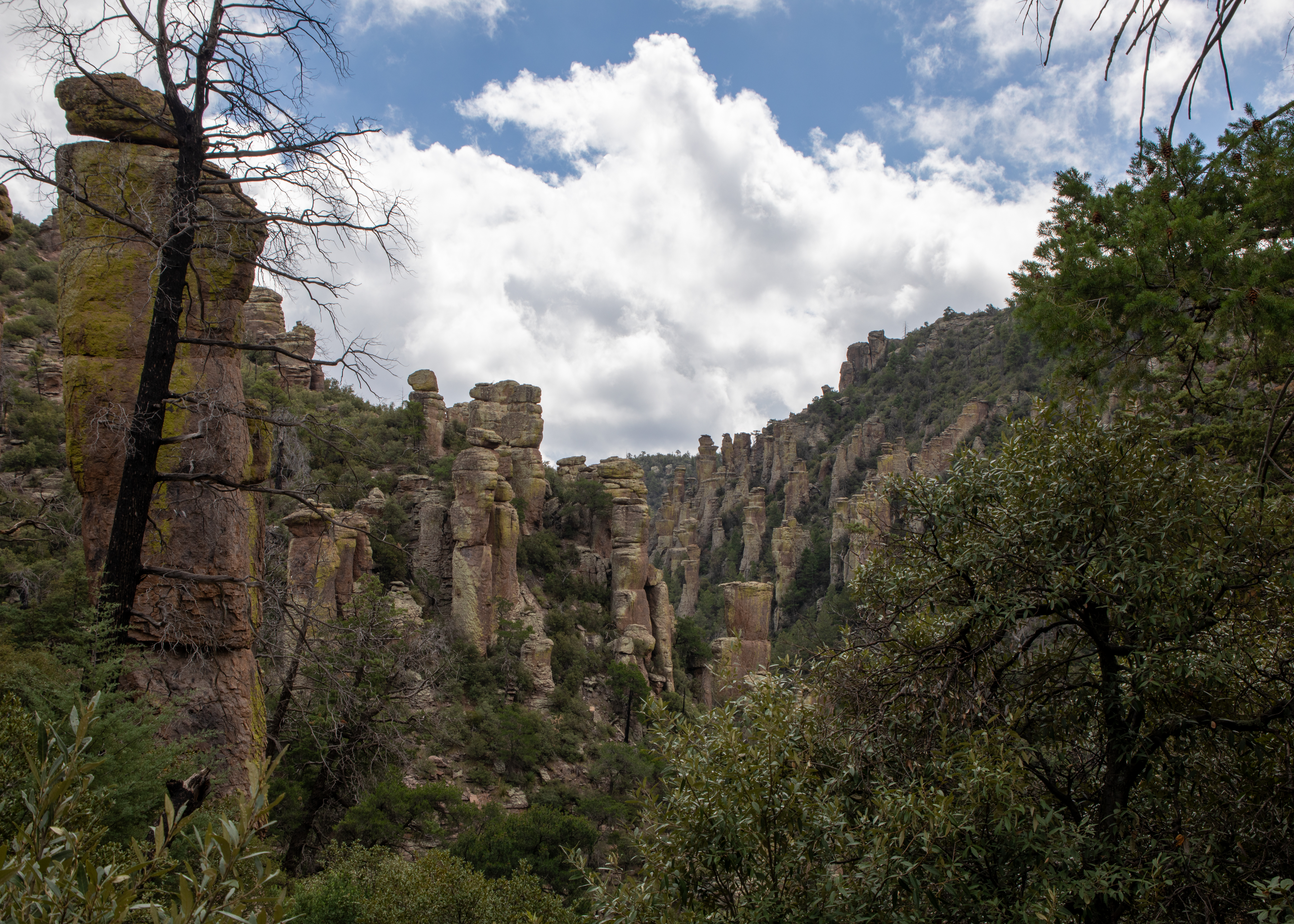
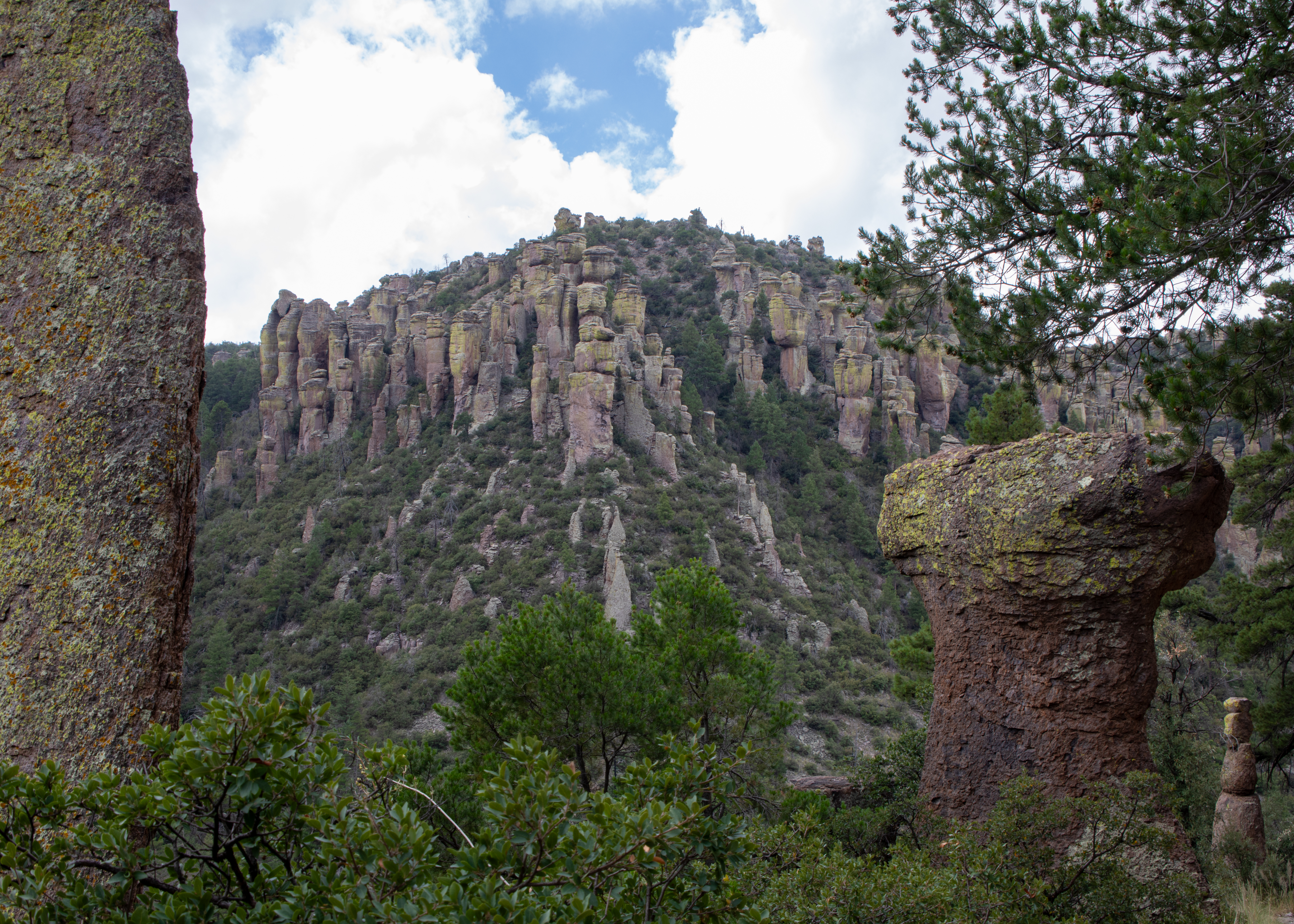
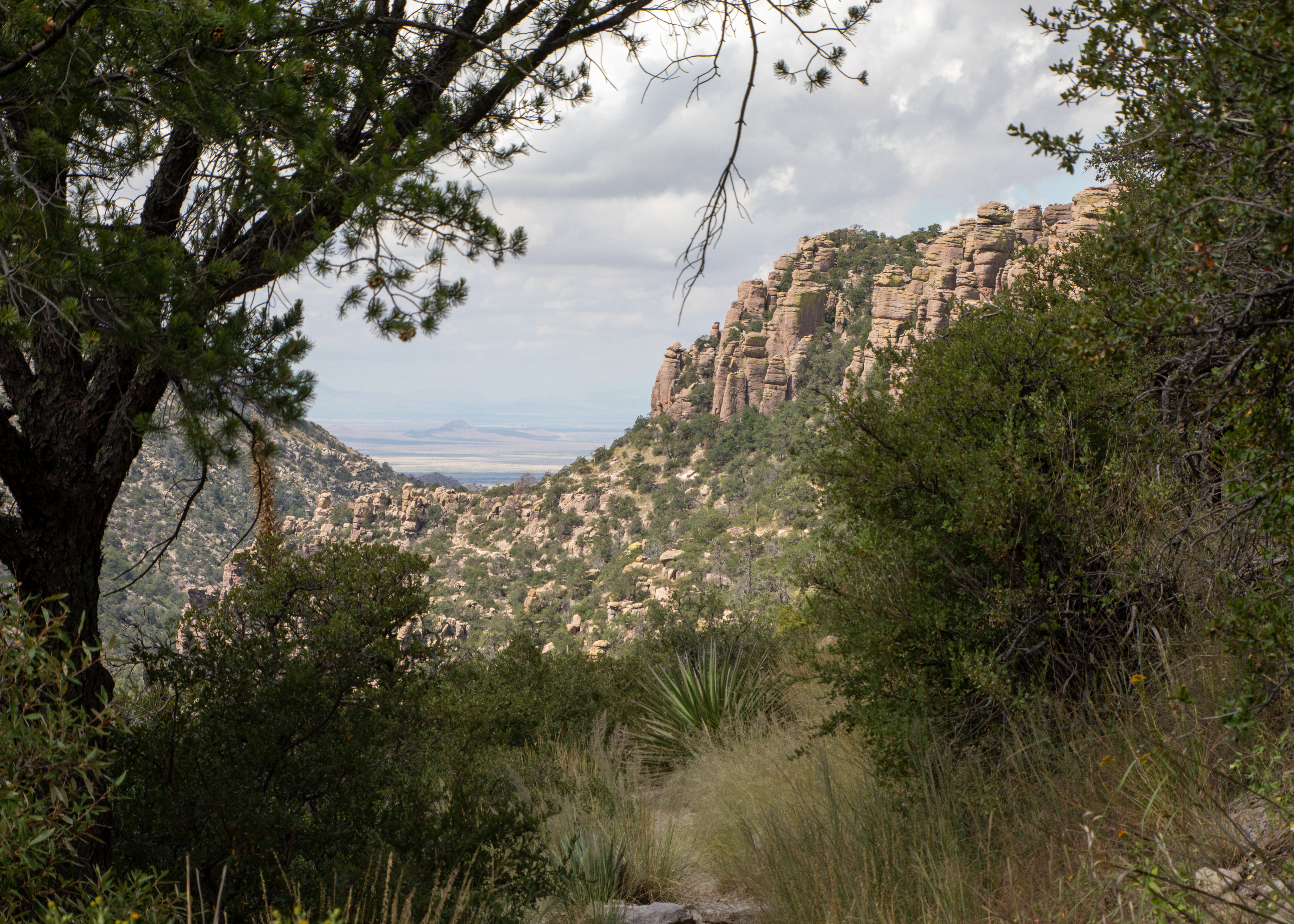
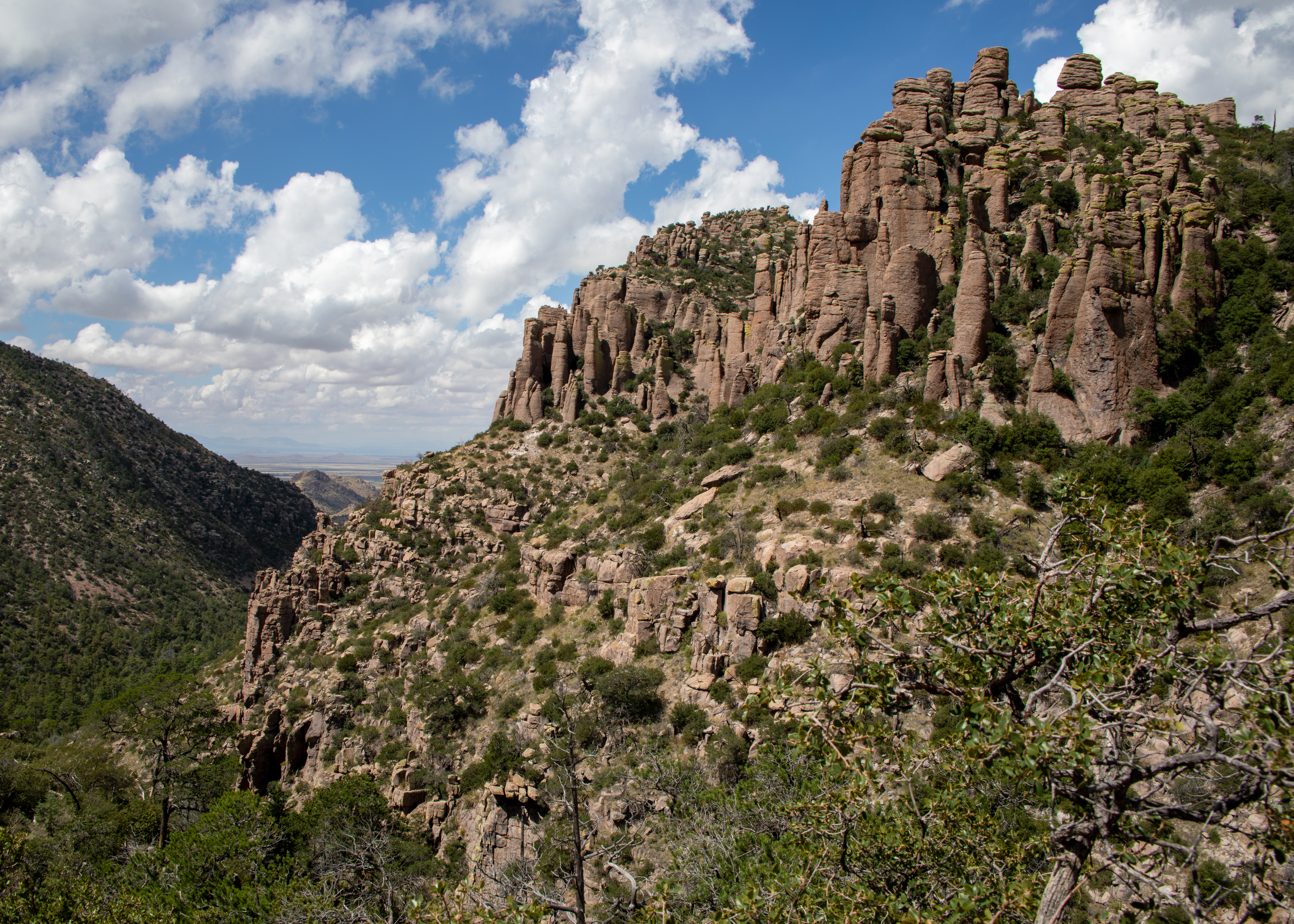
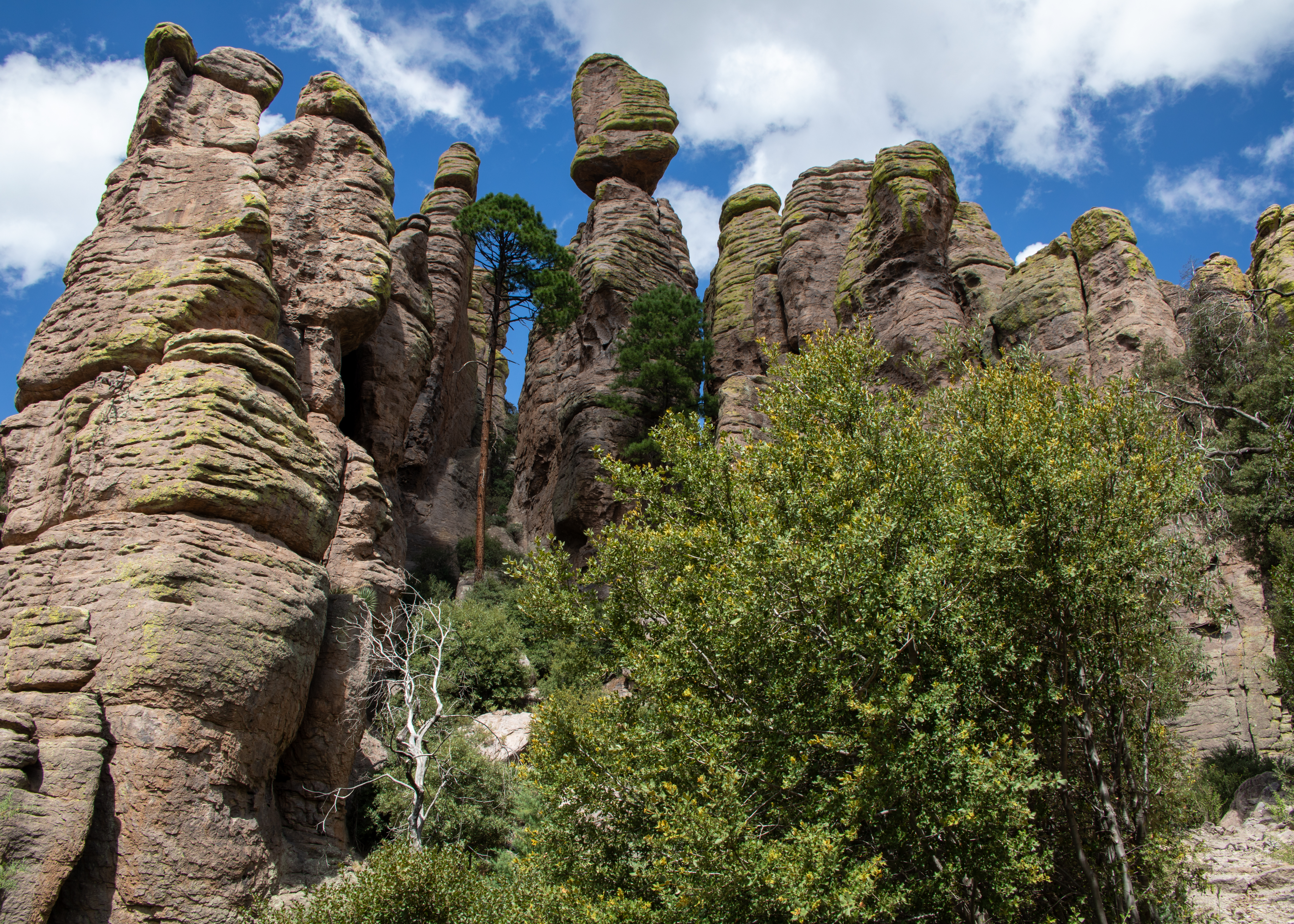
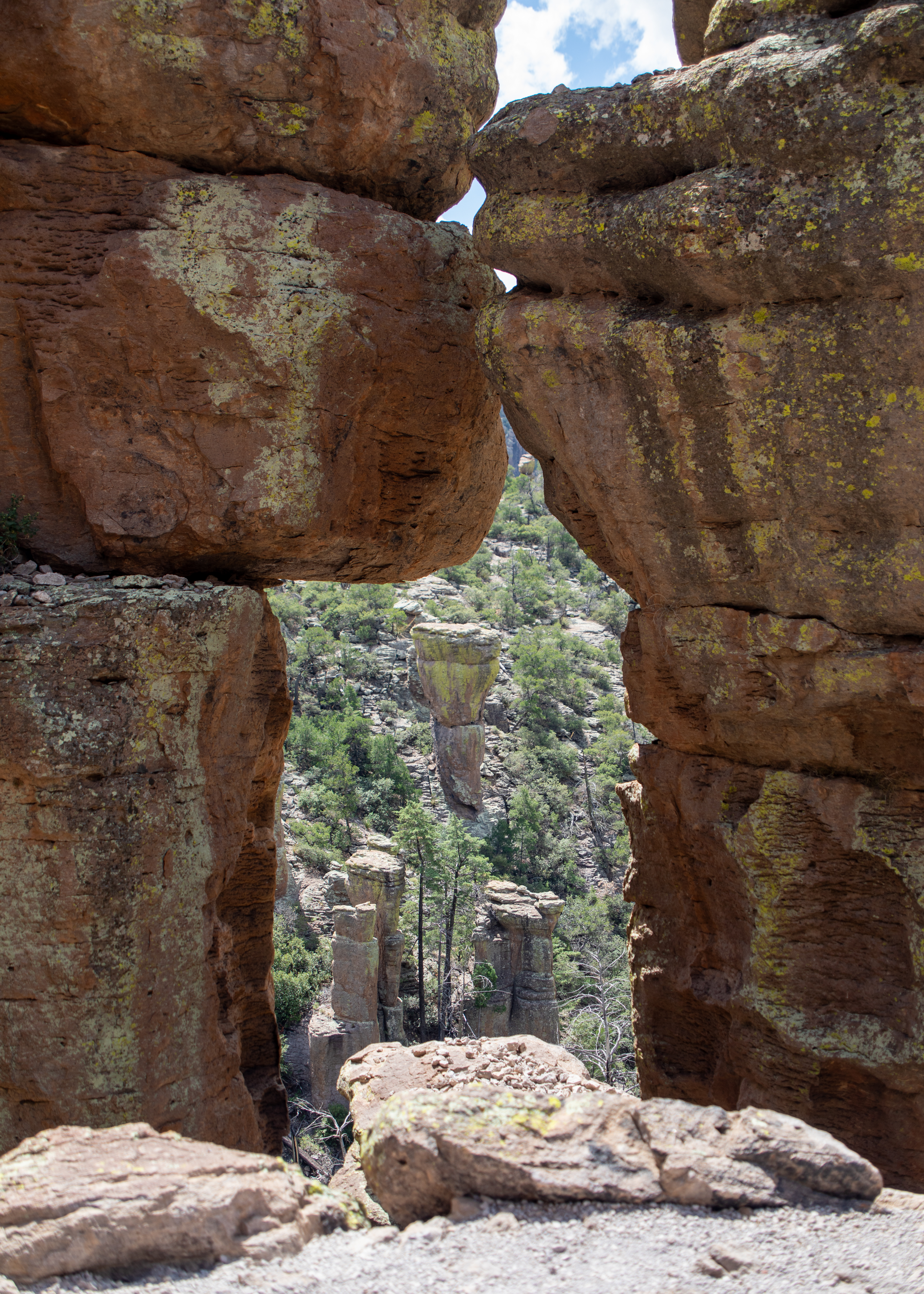
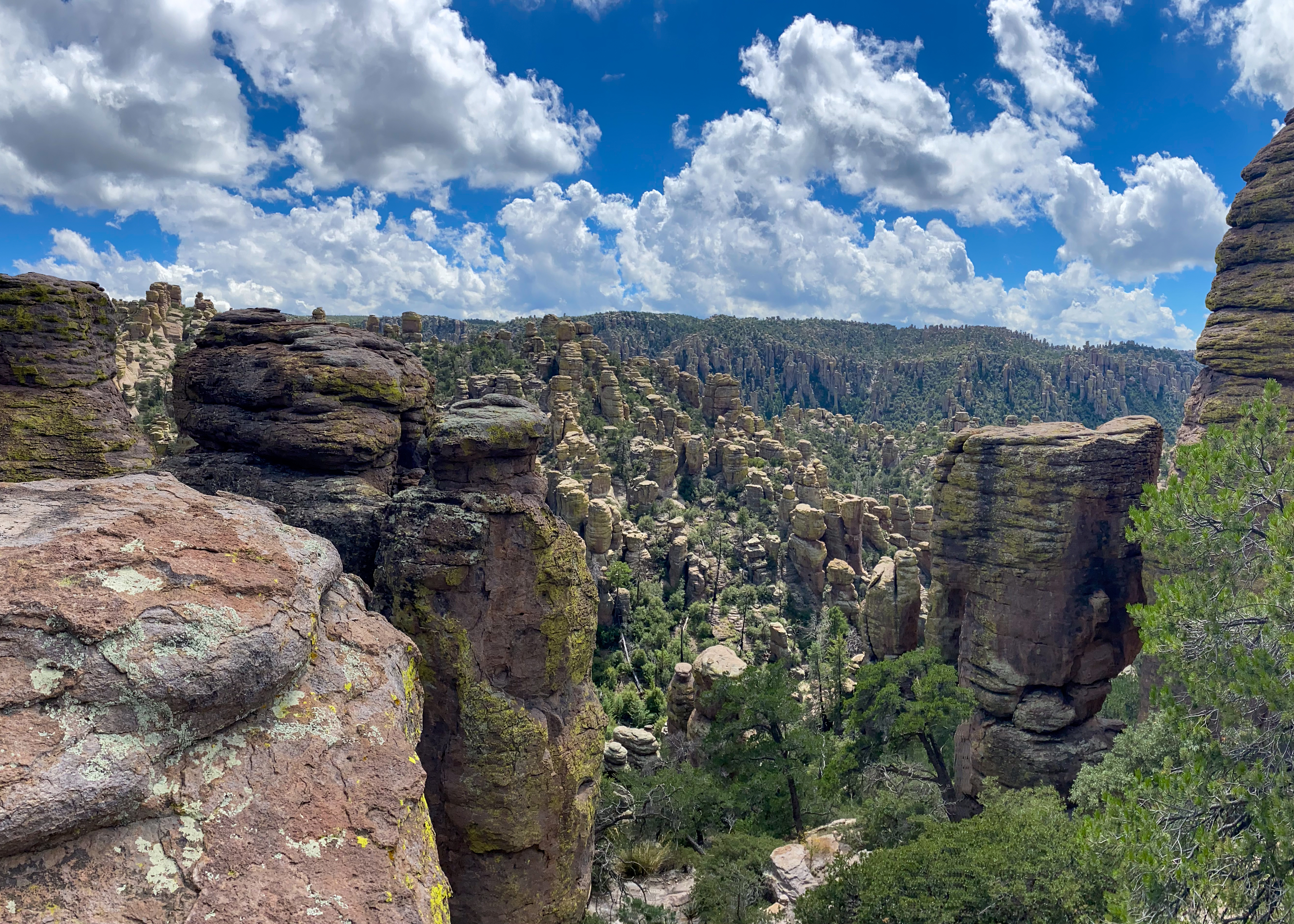
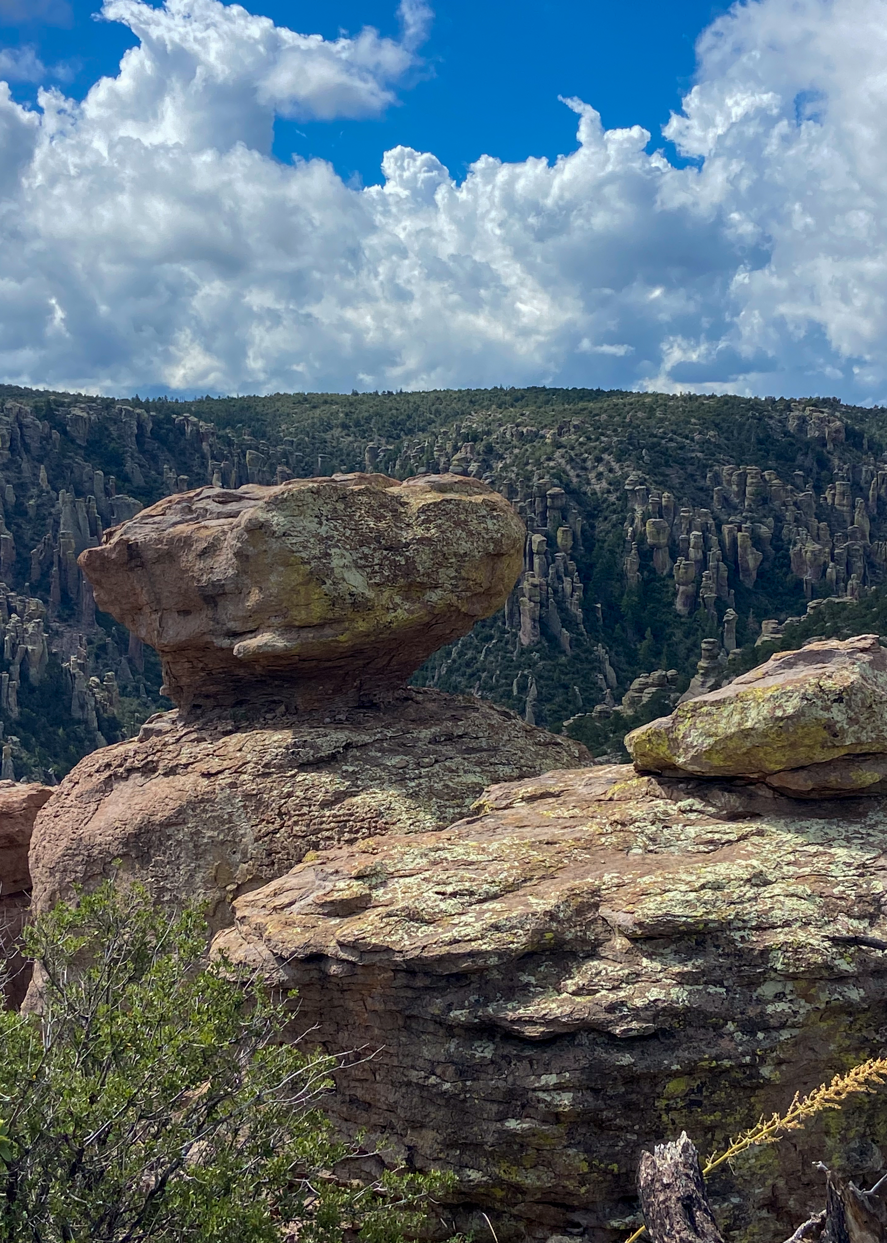
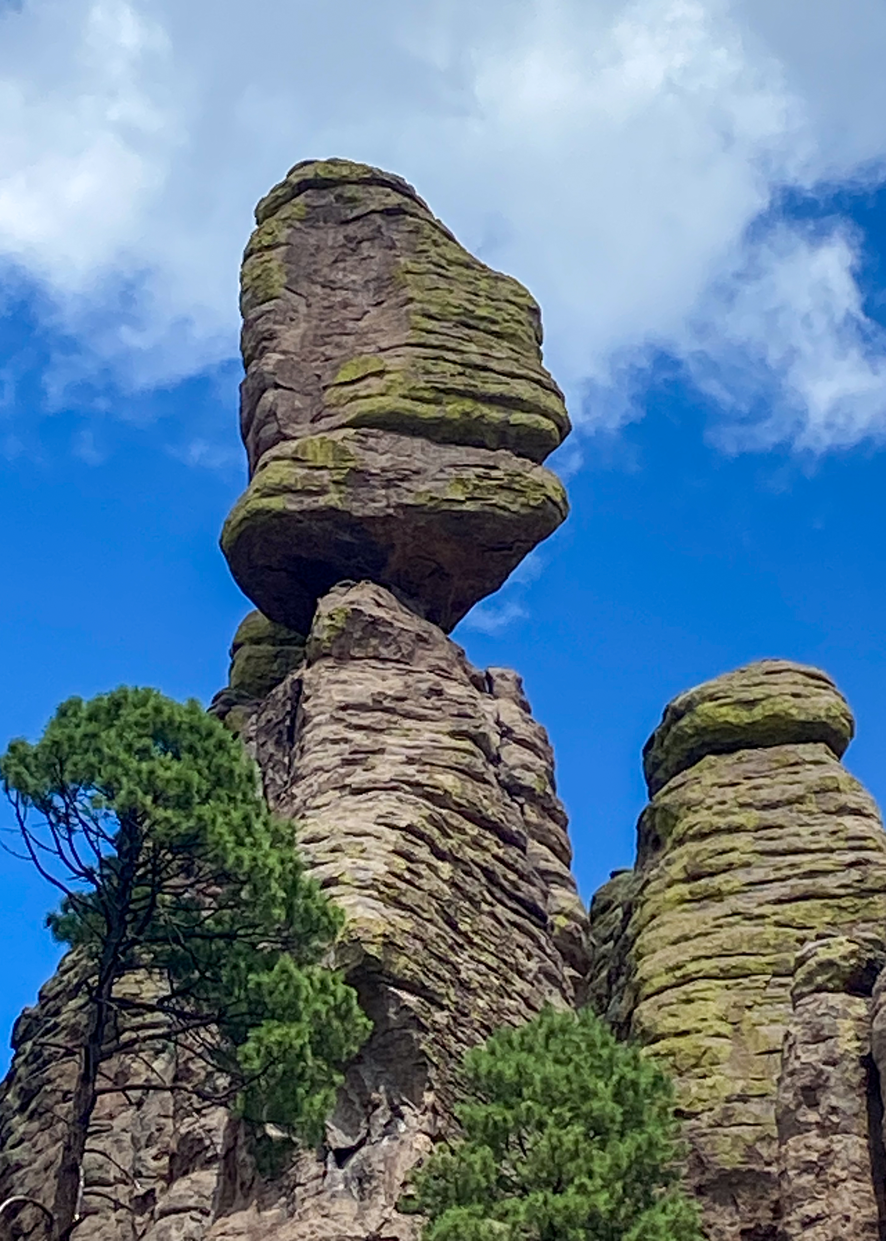
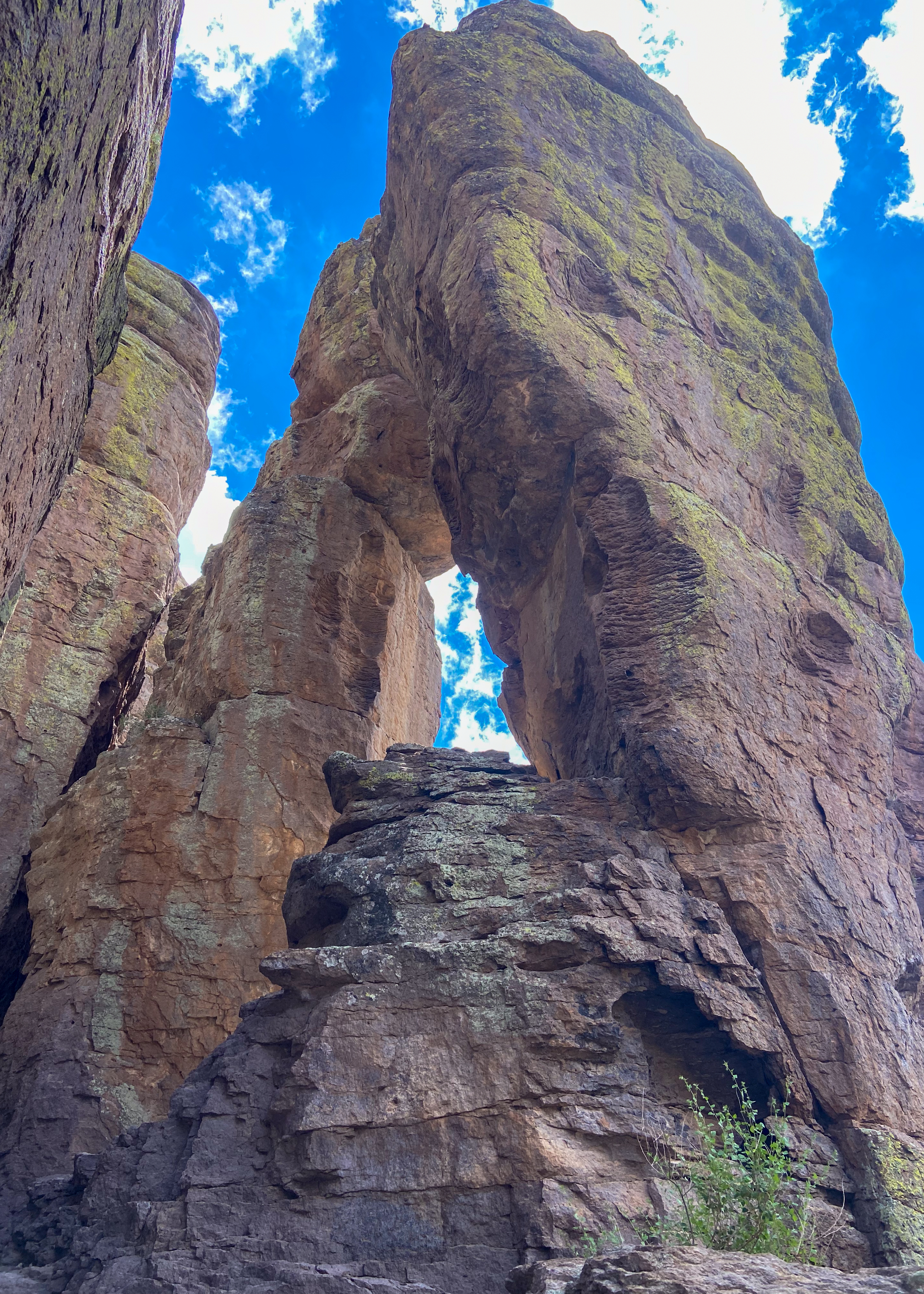
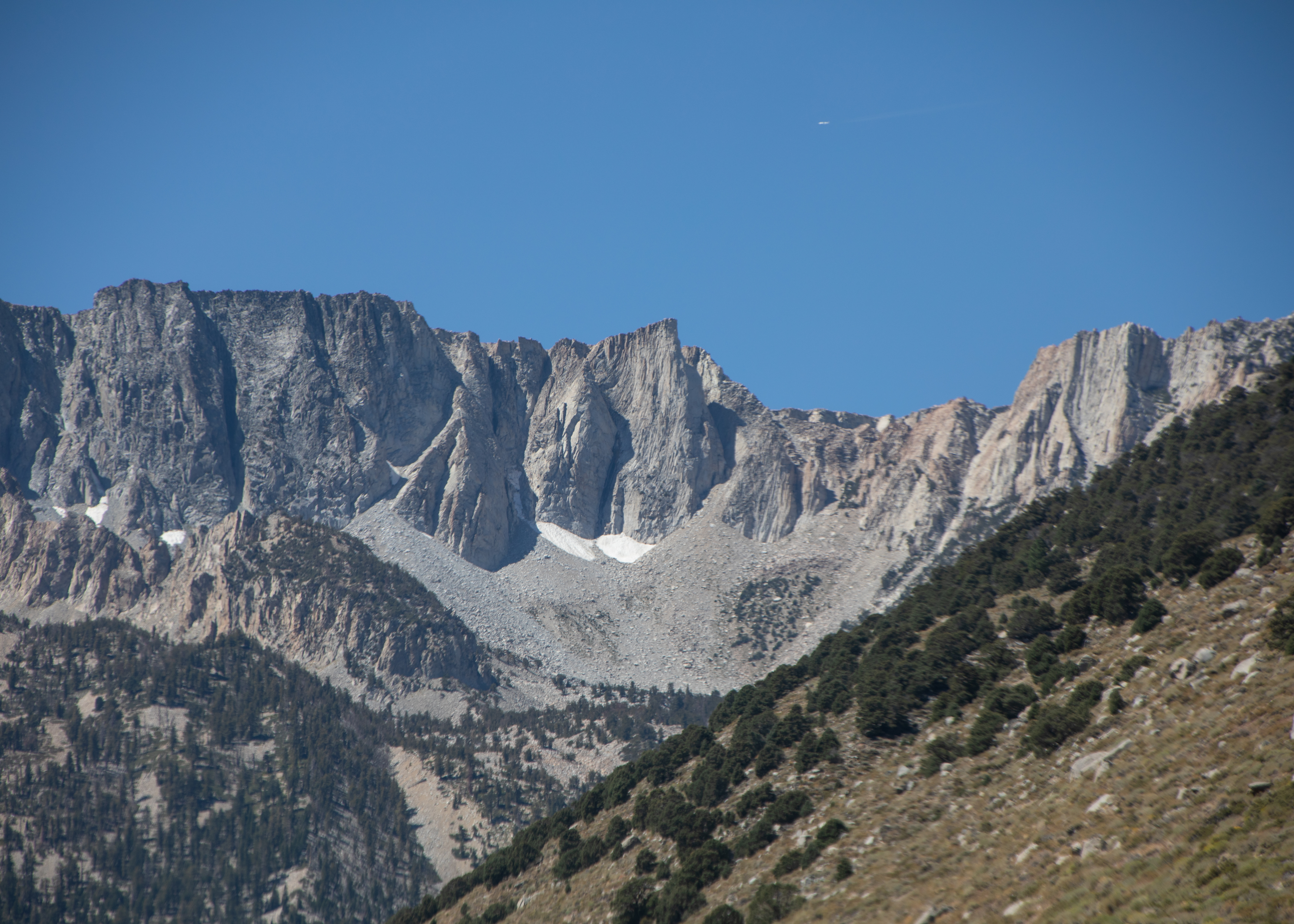
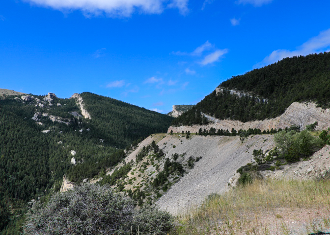
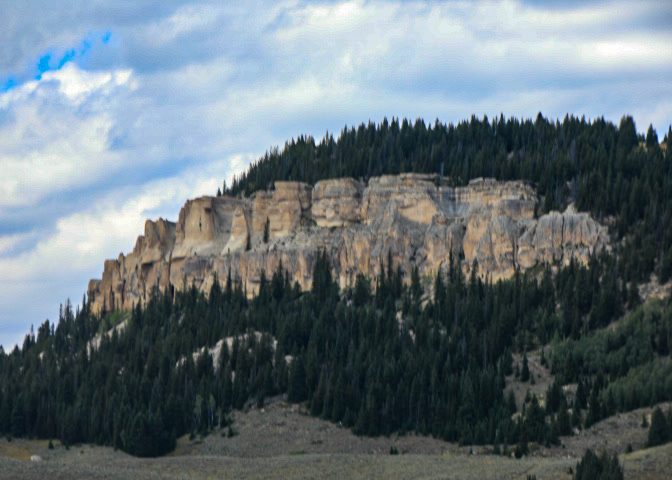
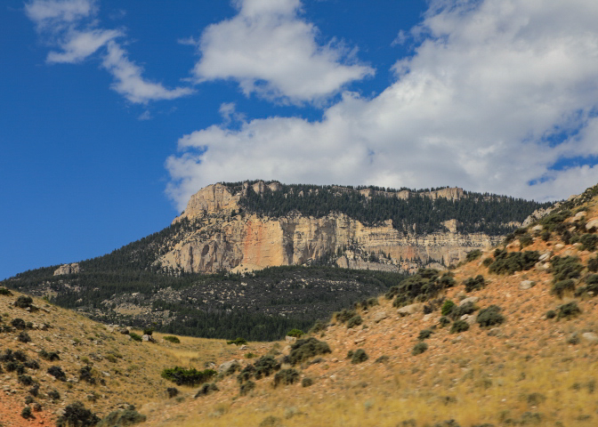
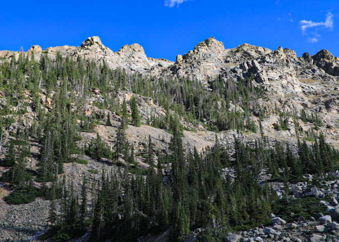
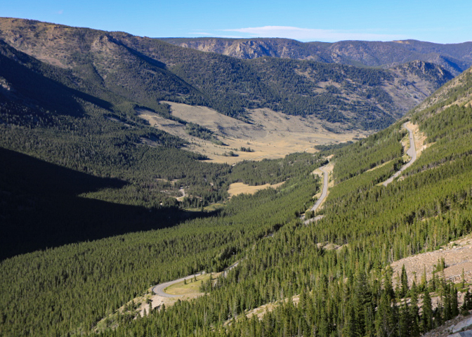
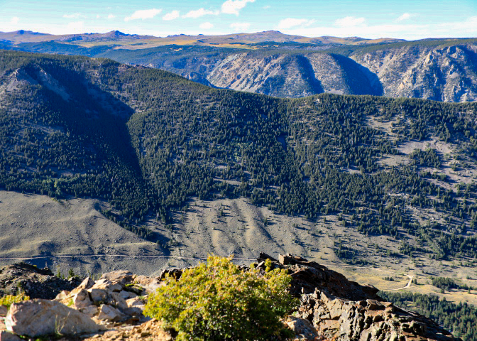
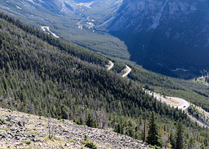
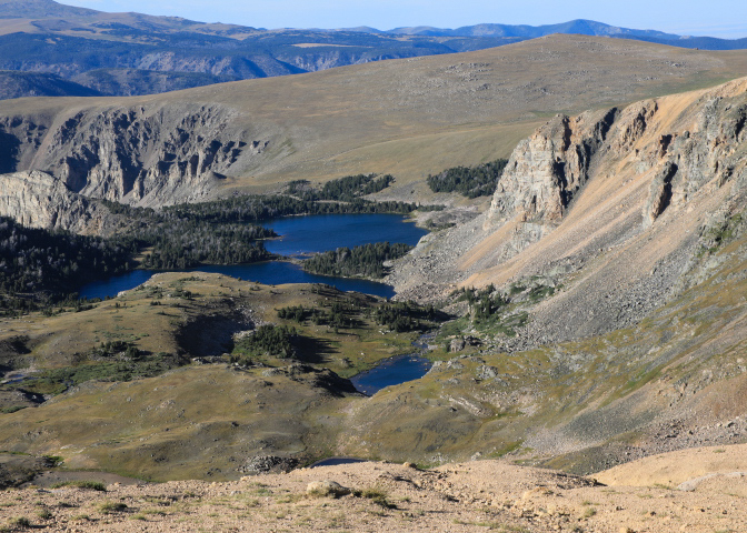
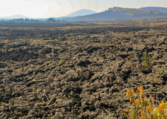
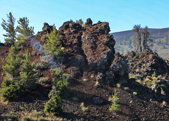
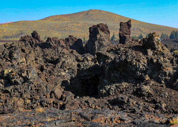
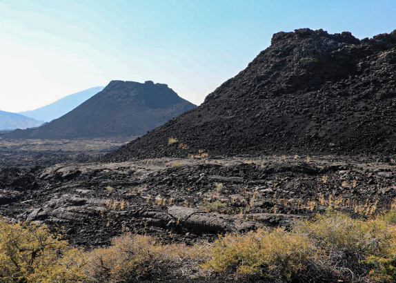
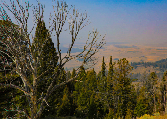
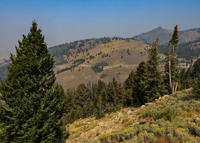
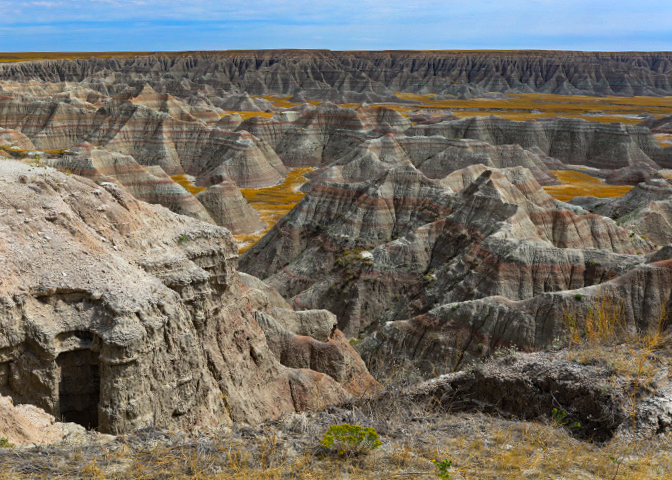
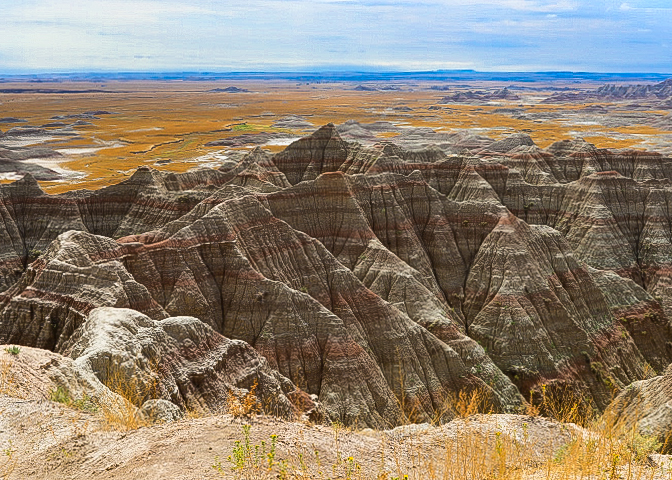
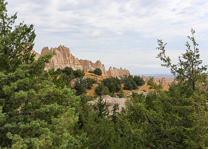
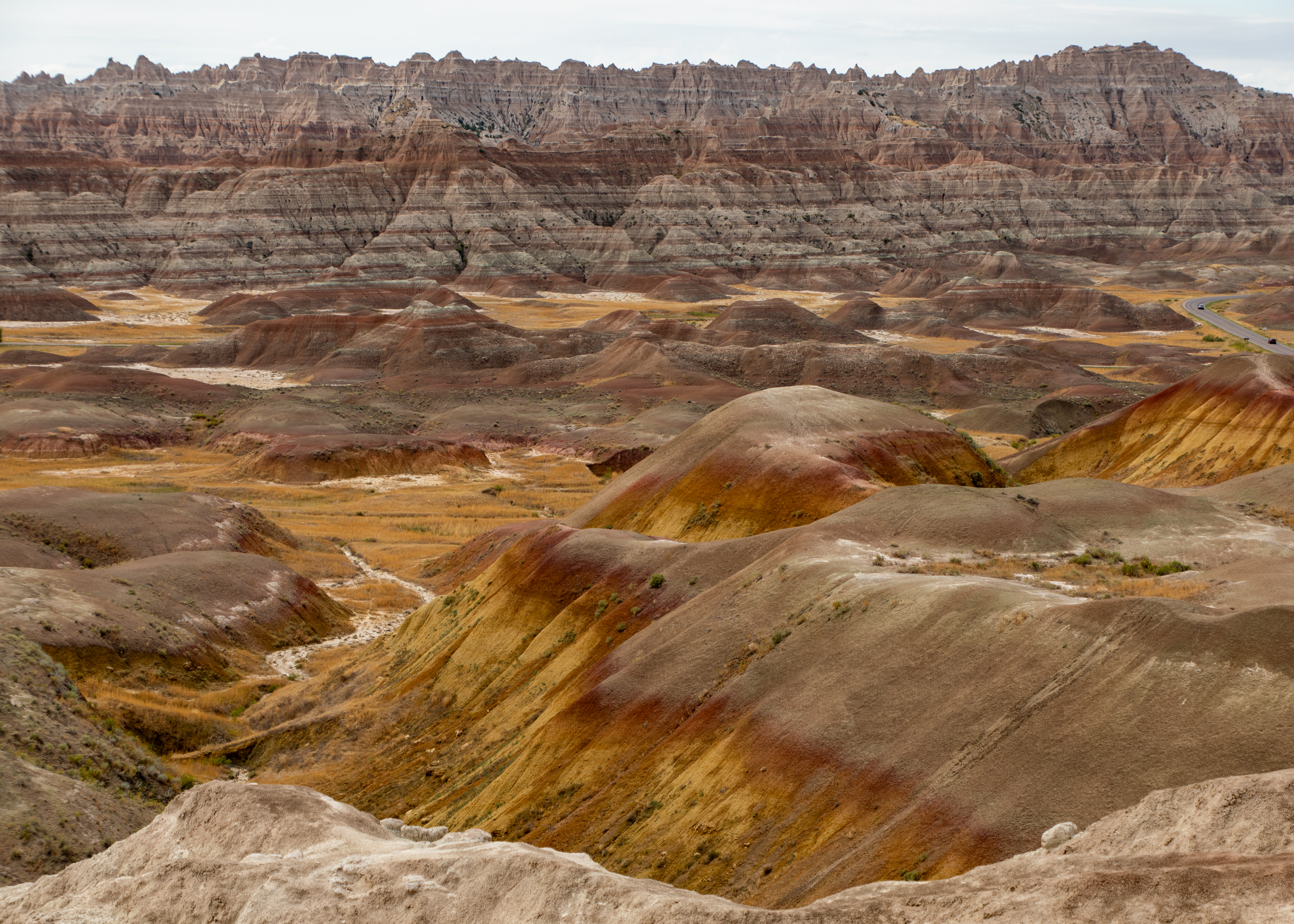
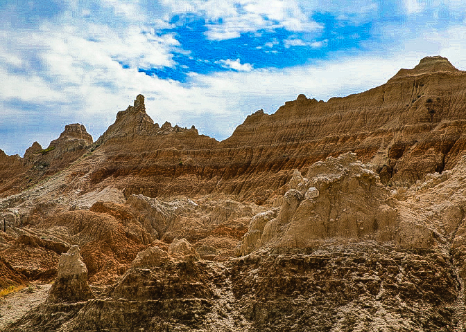
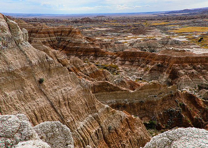
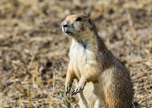
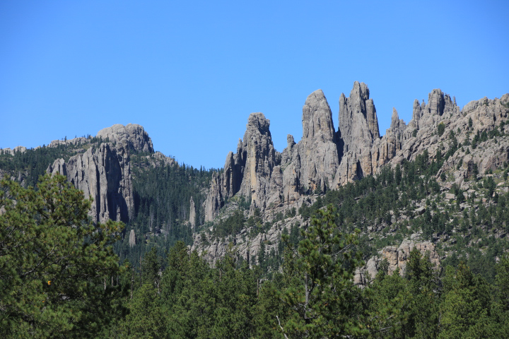
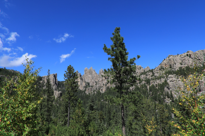
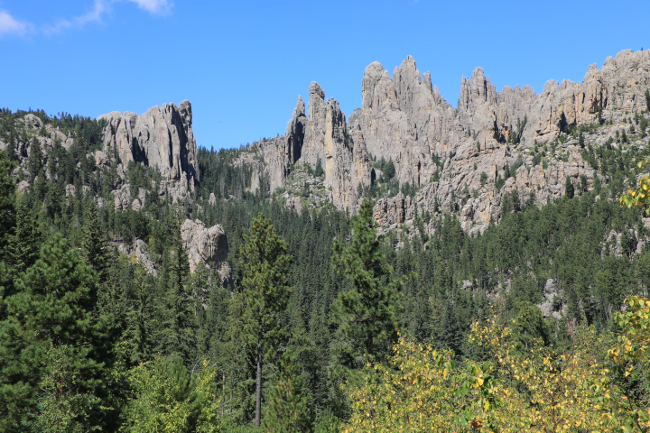
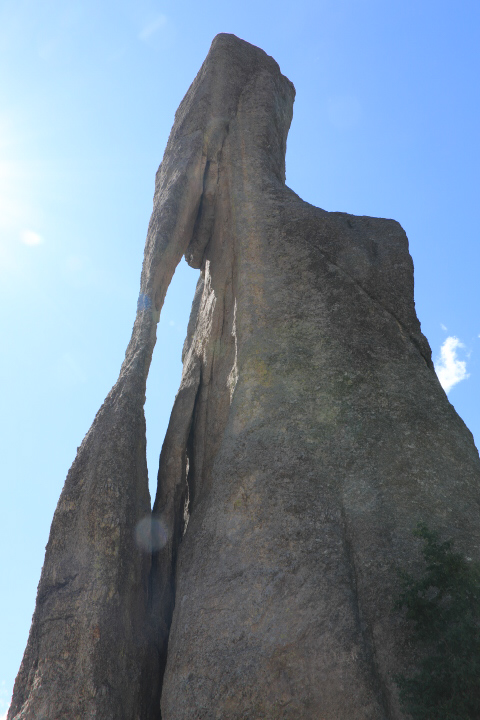
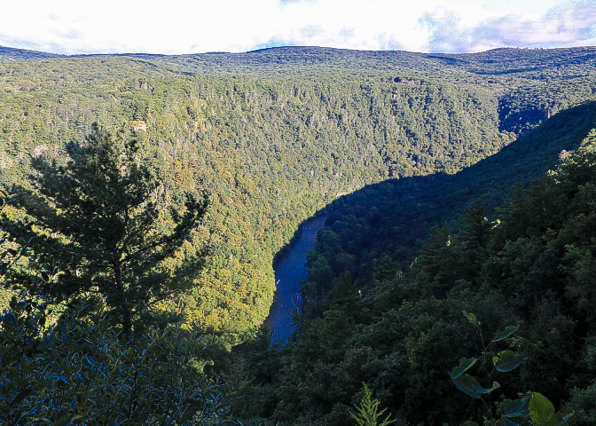
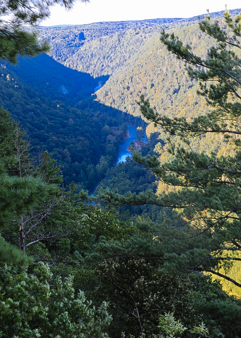
Chiricahua National Monument is recognized for its rock gardens with pinnacles that reach hundreds of feet skyward. This is the homeland of the Chiricahua Apache, who relied on the natural resources in the area as far back as the 1400s. The stories of chiefs Mangas Coloradas and Cochise as well as medicine-man-turned-warrior Geronimo reverberate throughout the canyons here. Deer, bears, and mountain lions inhabit the area, and the annual sandhill crane migration is also impressive. The 8-mile Bonita Canyon Drive begins on the valley floor and rises into mountains where balanced rocks seem to defy gravity. The drive ends at Massai Point, the pinnacle of this amazing sky island with 360-degree views of the rock valleys below.

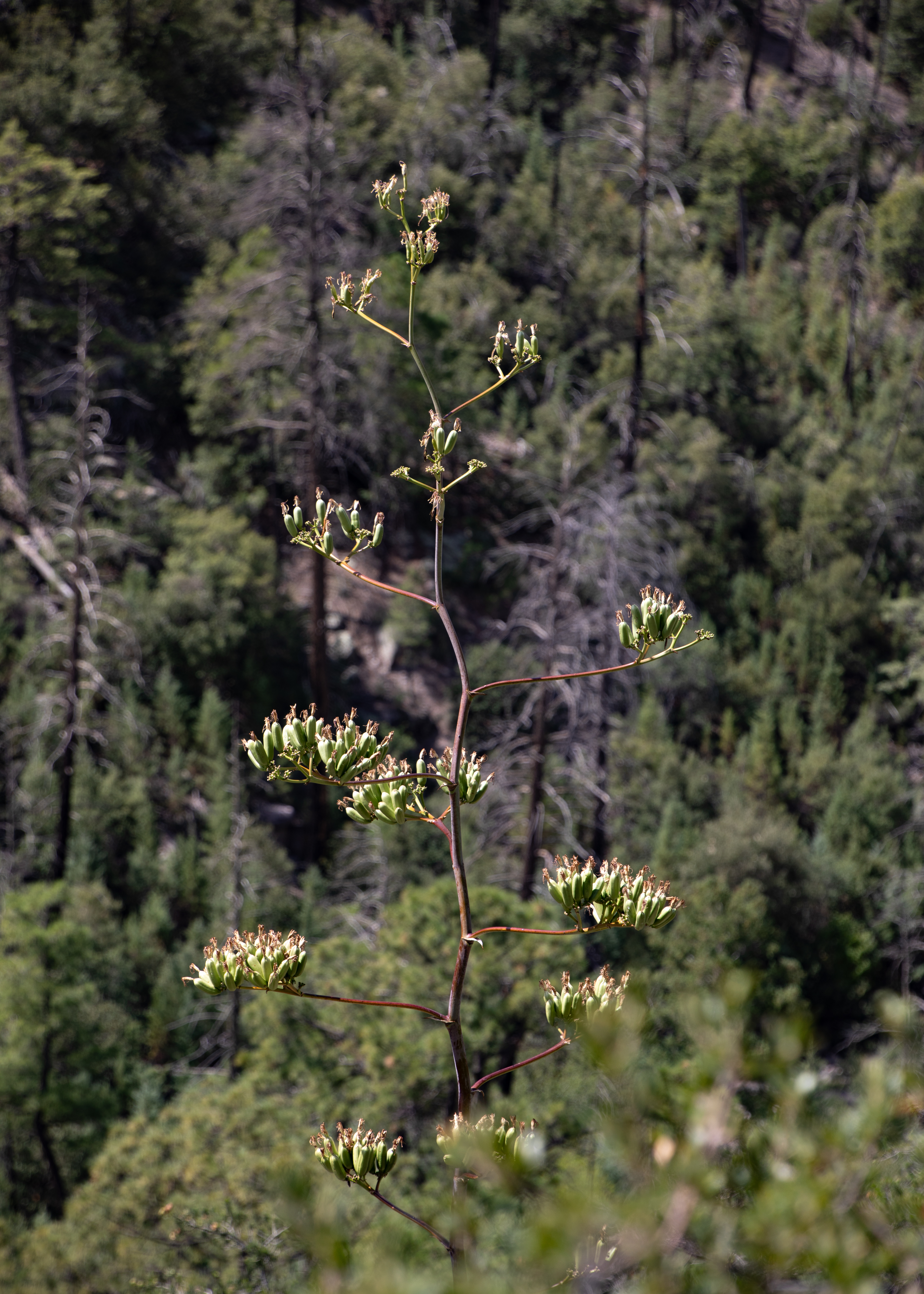
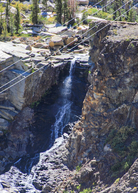
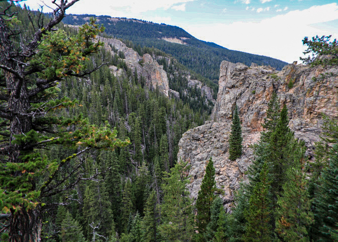
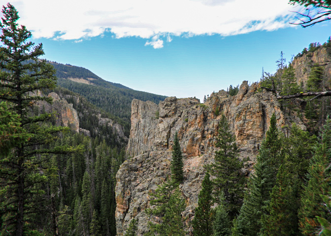
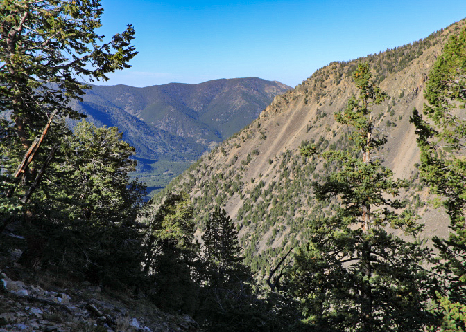
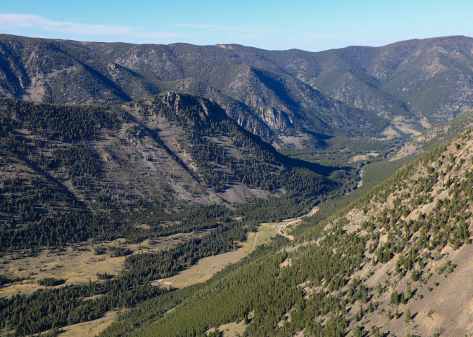
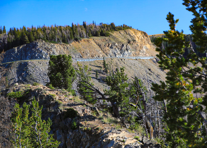
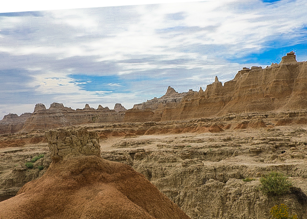
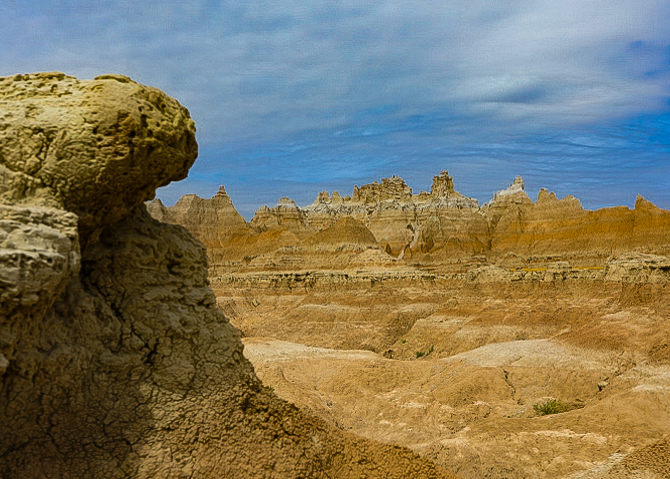
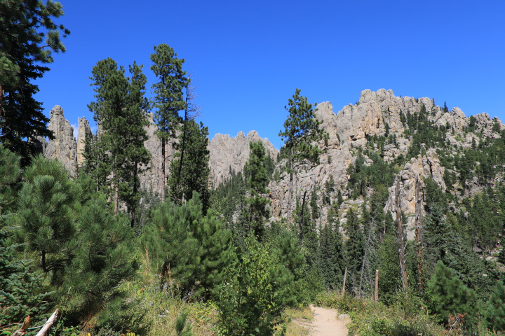
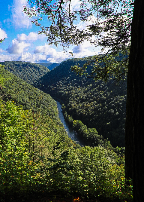
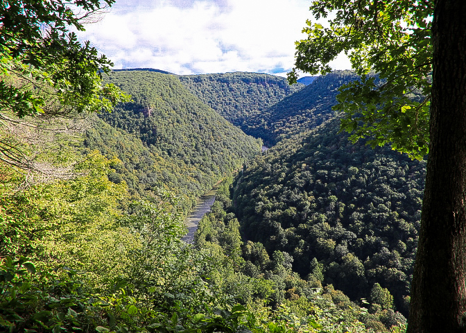
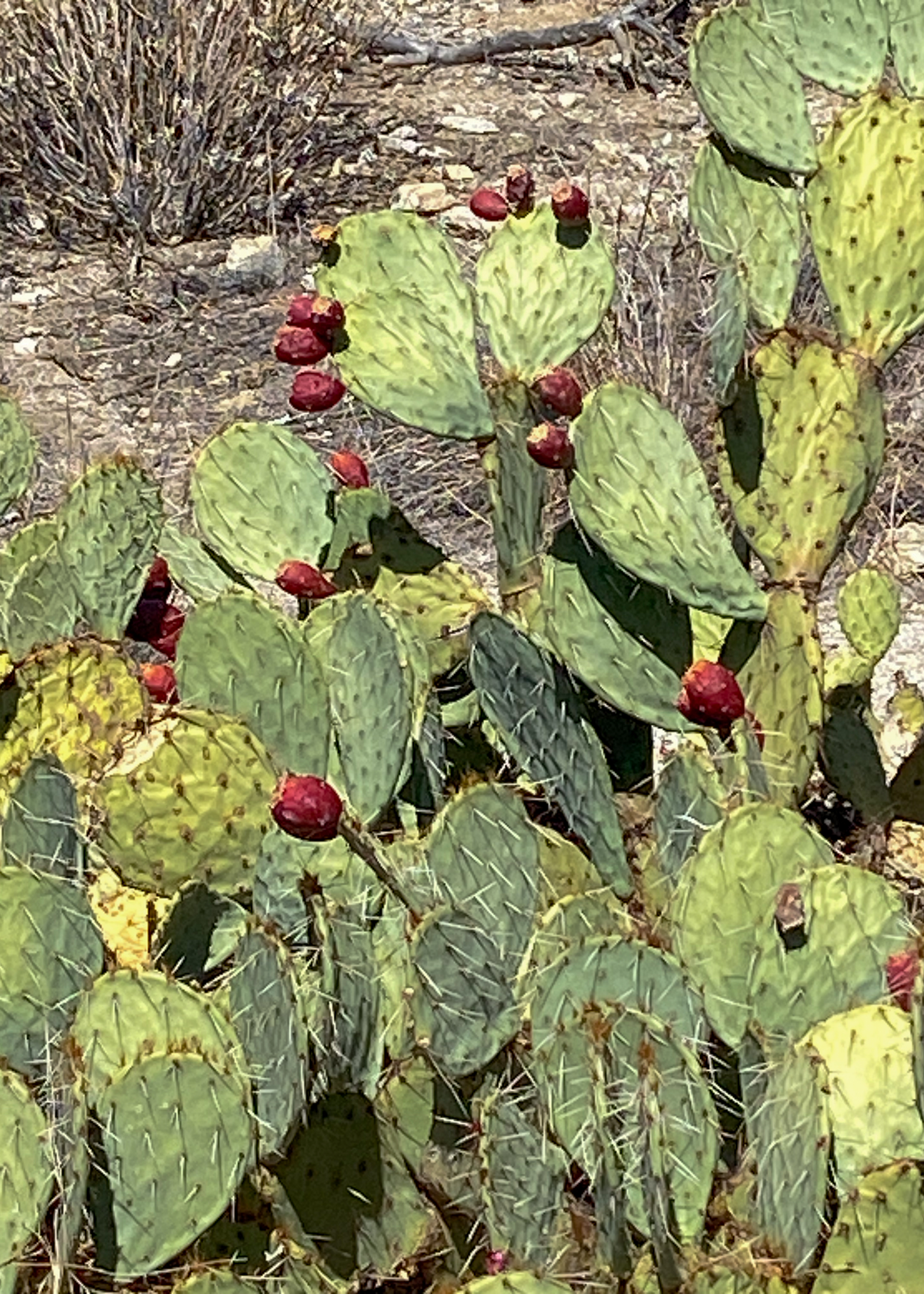
We hiked the Echo Canyon Loop starting at the Point –3.3-miles of connecting trails. The route winds through rock formations including the Grottoes and Wallstreet to the densely wooded Echo Park. Hailstone Trail is fairly level, and due to its southern exposure, hotter and dryer. You can see desert plants: yuccas, agave’s, prickly pear, and hedgehog cactus. Ed Riggs Trail takes you back to the trailhead among large pine trees.

2024 Cross Country Trip #8

We spent a week in California visiting with family and friends, but we still got some hiking and sightseeing.

Watson Lake – off the Tahoe Loop trail

Bodie Ghost Town – Bodie State Historic Park is a genuine California gold-mining ghost town. You can walk down the deserted streets of a city that once had around 2,000 structures and a population of roughly 8,000 people. 

The town is named for W.S. Body (or Bodey), who had discovered small amounts of gold in the hills north of Mono Lake. In 1875, a mine cave-in revealed a rich vein of ore, which led to the buying of the mine by the Standard Company in 1877. People flocked to Bodie and transformed it from a town of a few dozen to a boomtown. In 1881, Bodie’s “bust” began and the town’s population declined drastically. The town’s population continued to decline until only a few remained. Mining officially ceased in Bodie in 1942, the final nail in the coffin for Bodie’s township.  Two large fires in 1892 and 1932 reduced the town’s remaining structures down to less than 10% of the 2,000 structures that once stood. 

Only a small part of the town survives. Interiors stayed as they were left and stocked with goods. Designated as a National Historic Site and a State Historic Park in 1962, the remains of Bodie are being preserved in a state of “arrested decay.”

Yosemite National Park – Yosemite National Park has the distinction of being the first scenic natural area to be set aside by the United States for public gain and appreciation of landscape beauty. Yosemite Valley and Mariposa Grove were the 1864 birthplace of the national park idea.

Shaver Lake – Shaver is hugged by pine forest in the granite-studded Sierra Nevada Mountains. Shaver is located up in the Western Sierra Mountains at about 5600 elevations outside Fresno California and is part of the Southern California Edison power project that feeds into the Big Creek power station.

2024 Cross Country Trip #7

Wyoming, Montana, Idaho, Oregon

The final leg of our western swing started with a drive along Big Horn Scenic Highway, in Wyoming. A 58-mile paved highway over the crest of the Big Horn Mountains, the byway winds past thick forest, lush meadows, waterfalls, and deep canyons. Stretching from the Powder River Basin to the Big Horn Basin, the Big Horn Byway follows US 14 from the west outside Greybull.

Beartooth Scenic Byway – This stretch of U.S. Highway 212 between Red Lodge in Montana and Cooke City, zigzags across the Montana-Wyoming border through a series of steep switchbacks, rising from about 5,000 feet to 10,947 feet at the Beartooth Pass. It’s so high that it’s closed in winter due to snow, fortunately for us we completed our crossing before September 24th when the byway was closed for a few days do to 5 inches of snow and 4-foot drifts.

Craters of the Moon Idaho – Craters of the Moon is a vast ocean of lava flows with scattered islands of cinder cones and sagebrush. We explored this unique landscape by driving the historic Loop Road, stopping in at the visitor center, hiking up a volcano, and exploring a lava tube cave.  The scenic Loop Road is nine miles round-trip. Volcanic activity has occurred on the Snake River Plain for many millions of years. The much younger lava flows at Craters of the Moon were formed by eruptions that started only 15,000 years ago and represent the last period of active volcanism in the area. The most recent activity occurred approximately 2,100 years ago. Craters of the Moon is considered dormant, not extinct.

Sawtooth Highway In the mere length of 115 miles, the Sawtooth Scenic Byway takes the traveler from volcanic sagebrush lands on north into awe-inspiring high snow-covered mountain peaks. Unfortunately, because of smoke from wildfires we did not get to see much. We were hoping to get to the top of Sawtooth and head south on the western slope but we were stopped by park rangers since the fire had jumped our planned route. We had to back track on our original approach and head back to Boise. The good news we could spend more time with our kids and grandkids.

2024 Cross Country Trip #6

Continuing west we spent two days in South Dakota travelling through the Badlands, Custer State Park, and Spearfish Canyon.

Badlands National Park spans over 240,000 acres of rugged terrain and dramatic landscapes. Known for its sharply eroded buttes, pinnacles, and spires, the park offers an awe-inspiring vista at every turn. Surrounded by sprawling grasslands, this destination feels both otherworldly and profoundly connected to nature. Badlands National Park is not just a haven for breathtaking landscapes; it’s also a paleontological goldmine. The park’s eroded cliffs uncover a rich array of fossils, including ancient mammals like rhinoceroses and sabretooth cats.

Badlands Loop Road: Driving this road is the park’s most popular activity going through the north unit – it provides stops to get out and explore the major highlights and trails.

We explored a few standout sites:

  • Panorama Point: Offers sweeping views of the vast landscape.
  • Yellow Mounds Overlook: Features colorful geological formations that are a photographer’s dream. (YES)
  • Fossil Show Trail: Provides a glimpse into the past with fossil displays.
  • Door, Window and Notch Trails: These three short hikes, give you an overall sense of the terrain.
  • Pinnacles Overlook: Is a scenic overlook on the west side of the park offers one of the best views of that area.

Custer State Park:

One of the few remaining wild places in the country.  An area of tall pines, rolling hills, grasslands, and massive granite spires. You can see bison from the Wildlife Loop Road. We experienced pigtail bridges, views of Mount Rushmore, tunnels and giant granite formations from The Peter Norbeck Scenic Byway, a 70 mile loop via the Iron Mountain Road and Needles Highway.

Spearfish Canyon Scenic Byway

The 20-mile byway follows the pine and spruce-covered banks of Spearfish Creek. Highlighted by Bridal Veil Falls.

2024 Cross Country Trip #5

It’s been a while since my last post – we were to Lake Tahoe, Shaver Lake, Dublin (ca), LA, Pasadena and Palm Springs visiting friends and family. Well back to writing and some thoughts on our trip through Minnesota. Our first stop was at a striking, wilderness waterfall in an urban setting. Overlooking the Mississippi River, Minnehaha Park is one of Minneapolis’ oldest and most popular parks. The 193-acre park features a 53-foot waterfall, limestone bluffs and river overlooks. The park includes Minnehaha Falls – Minnehaha is a Native American woman documented in Henry Wadsworth Longfellow’s 1855 epic poem The Song of Hiawatha.

Next stop was Lyndale Park Rose Garden. This is a rose garden in a large park on the north side of Lake Harriet in Minneapolis. It is one half a regular rose garden, with many blooming examples even in September. The other half is more botanical, an annual-perennial garden, with floral displays. Across the road is the Peace Garden, a sort of rock garden that invites quiet contemplation.

Moving on we visited the Minneapolis Sculpture Garden – the 11 landscaped acres of the Minneapolis Sculpture Garden is home to more than 40 iconic sculptures, including Spoonbridge & Cherry and Hahn/Cock. 

Sibley County Historical Museum – in Henderson, Minnesota – The August F. Poehler Home – It was built in 1884 for shop owners August and Emilie Poehler and their six children. Since 1949 the house has served as the Sibley County Historical Society Museum.

The is a Carpenter Gothic-style house in St. Peter, Minnesota. The house was the home of one of the earliest settlers of St. Peter. Eugene Cox was an attorney, St. Peter’s first Mayor, and a representative to the State House and Senate. The home, built in 1871, is one of the few fully restored Italianate homes in Minnesota and was the center of social activity for the prospering riverside town. 

Once off-limits, Minnemishinona Falls is a scenic, off-the-beaten-path sight near Mankato – Minnemishinona Falls, which drops 42 feet over a cliff into the gorge below.  Too bad the water wasn’t flowing strongly when we arrived.

World’s largest -Glockenspiel, (maybe) in New Ulm, – located downtown, the 45-foot tall Glockenspiel’s bells can be heard chiming throughout the day and playing programmed pieces at scheduled times through the day. The Glockenspiel houses 37 bells with a total weight of more than two tons. Twelve figurines depicting characters from the city’s history, rotate on a circulating stage during performances. Not really impressive.

2024 Cross Country Trip #4

Continuing along the River Road we entered Wisconsin with our first stop at the The Dickeyville Grotto & Shrines that are located on the grounds of the Holy Ghost Parish. They are the works of Father Matthias Wernerus, a German-American priest who served the parish from 1918 until his death in 1931. The main Grotto is an artificial cave created out of stone, mortar, and brightly colored materials and found objects collected from all over the world. Besides the main Grotto, Father Wernerus constructed several other religious and patriotic shrines throughout the garden area surrounding the Holy Ghost Church. Later additions to the site include the Stations of the Cross (1964) and Our Lady of Fatima Shrine (1998).

Heading further north we stopped at what is often called Wisconsin’s second-oldest city, Prairie du Chien was established as a European settlement by French voyageurs in the late 17th century. St. Feriole Island – The island is the site of the city’s earliest activities: the center of the fur trade, home of the first Fort Crawford, site of the Battle of Prairie du Chien in 1814, and three important Indian treaties. From the middle 1860s until early 1900, it held the depot for the Chicago, Milwaukee & St. Paul Railroad. Villa Louis – This Victorian estate was home to three generations of the Dousmans. The current residence was built in 1870 by Dousman’s son, H. Louis Dousman. The family closed the estate in 1913 but returned 20 years later to set up the home as one of the first historic house museums in the Midwest. The Dousman House Hotel – The Railroad House was touted as the premier hotel on the Upper Mississippi when it was built by the railroad in 1864. Since Hercules Dousman owned so much of the railroad stock, the hotel was renamed after him in 1867. In the 1940s it was converted to a meat packing plant and later served as a warehouse.

Grandad Bluff has become a destination point for thousands, but also a famous symbol of the great Driftless Region. The term “driftless” indicates a lack of glacial drift, the deposits of silt, gravel, and rock that retreating glaciers leave behind. This meant that glaciers went entirely around the driftless area but didn’t cover it. The 600-ft high bluff overlooks the city of La Crosse, the Mississippi River Valley, Wisconsin, Minnesota, and Iowa. Voted as “the most scenic view in the state”, this is the signature sight when visiting the La Crosse Region.

​Historic Hixon House was built in 1858 by pioneer Gideon Hixon, who went on to become a wealthy lumber baron in La Crosse. In 1965, their descendants gifted the house to LCHS including its original Victorian and Arts and Crafts furnishings.

In 1969 the G. Heileman Brewery built six 54-foot-tall storage tanks at its plant in La Crosse, Wisconsin. Whether by design or a bolt of beer-fueled inspiration, the tanks were painted a year later to resemble cans of Heileman’s Old Style Lager, and the sextet was proclaimed the “World’s Largest Six Pack.”

At the confluence of the Mississippi, Black and La Crosse Rivers, Riverside Park in La Cross is designed for active lifestyles and for those who want to just watch the river slowly pass by. The Park is the home of the authentic paddle-wheeler, the La Crosse Queen, the Riverside International Friendship Gardens with various sculptures.

Prairie Moon Sculpture Garden and Museum – built by Herman Rusch who built his first concrete and stone planter in1958. That effort led to two new interests: the creation of huge sculptures and related flower beds. In just one year, Rusch built a 260-foot arched fence that spans the north perimeter of the site. It’s precisely aligned conical posts were constructed with alternating bands of chiseled white rocks and pie-shaped red bricks, while the arches were molded with concrete over the iron wheels.

https://www.kohlerfoundation.org/preservation/preserved-sites/prairie-moon-sculpture-garden-and-museum/

Willow Falls is a highlight within Willow River State Park, just northeast of Hudson WI. This waterfall cascades over three ledges, creating a 45-foot drop through a deep, rugged gorge.

2024 Cross Country Trip #3

Continuing west we motored through Ohio and Indiana before visiting friends in Hoopeston Illinois. Leaving Hoopeston, we headed to western Illinois and started our journey along the Great River Road.

The Great River Road is a collection of state and local roads that follow the course of the Mississippi River through ten states of the United States. They are Minnesota, Wisconsin, Iowa, Illinois, Missouri, Kentucky, Tennessee, Arkansas, Mississippi and Louisiana. We will follow the river into Minnesota.

Leaving route 6 at the Ohio border we headed to Ashtabula to follow the county’s covered bridge trail. The county has two trails covering 19 bridges. We selected the North & Eastern tour covering 13 bridges: spanning 69 miles.

Driving the backroads of Indiana all we saw were miles upon miles of corn and soya beans with some sunflowers thrown in for good measure – except in Kokomo, The Sieberling Mansion. The Mansion was built by Monroe Seiberling, one of the first entrepreneurs to take advantage of the Indiana Gas Boom for large-scale industrial production. The building is an unusual combination of Queen Anne and Romanesque Revival architectural styles, with distinctive stonework, a huge wrap-around porch, and a three-story tower topped by an arcade and acorn-shaped roof.

We started our Great River Road trip at the Mississippi River Visitor Center which is located on the Rock Island Arsenal in Rock Island, Illinois at Locks & Dam 15, overlooking the Upper Mississippi River. Since the early 1800’s the Corps of Engineers has been instrumental in making the river navigable for both commercial and recreational vessels. In early spring the river opens to commercial navigation. From April through mid-December visitors can watch boats pass through the locks. On our day there were no boats. An excellent view of the Government Bridge or Arsenal Bridge spanning the Mississippi River, connecting Rock Island, Illinois and Davenport, Iowa is afforded from the arsenal grounds. BTW to get into the arsenal you need to go through a security check which is like applying for a Global Entry Pass.

Heading upriver we stopped at Fulton noted for its working Dutch Windmill, set upon a Mississippi levy.

Next a stop at Lock 12 where we could see a riverboat heading downstream.

There were several state parks along the way which afforded excellent views of the river and its flood plain.

Finishing our day, we headed inland along the Ulysses Grant Highway to Galena and to the US Grant State Historic Site, which includes the Grant house (with fence) and Elihu B. Washburne House. Elihu Washburne (1816-1887), a prominent Galena attorney and later a U.S. congressman (1853-1869), political adviser to Abraham Lincoln and Ulysses S. Grant, and ambassador to France (1869-1877).

2024 Cross Country Trip #2

Instead of a posting for each day traveled I will be highlighting the sites we visited in a state or grouping of states since at times we needed to just add miles — as usual we generally avoid interstates and travel the red and blue roads. I have always wanted to travel across Pennsylvania’s northern tier and this time we headed out on scenic PA Route 6 (which runs almost 400 miles). Leaving New Jersey, we picked up the route in Scranton PA stopping at the Steamtown National Historic Site. The site is part of the National Park Service. The site covers both old and restored and dilapidated steam locomotives, railcars and a historic turntable, located on the former Scranton yards of the Delaware, Lackawanna, and Western Railroad (DL&W). 

Leaving Scranton we stopped to see the Tunkhnnock Creek Viaduct – The Viaduct, is the world’s largest concrete railroad bridge, was part of a major improvement to the Delaware, Lackawanna and Western Railroad. Commonly called the Nicholson Bridge, it was constructed from 1912 to 1915. The bridge is 2,375 feet long, 34 feet wide, and 300 feet in extreme height from the top of the parapet to bottom of deepest foundation pit.

Heading further west we stopped at two overlooks – French Azilum Lookout (also known as Marie Antoinette Overlook) and Wyalusing Rocks Overlook.

French Azilum provided beautiful scenic view of endless mountains, farms and the Susquehanna River, French Azilum was a refugee settlement built in the 1700s which was built by French nobles and others fleeing the French Revolution. See: (https://pabook.libraries.psu.edu/literary-cultural-heritage-map-pa/feature-articles/nobles-wilderness-story-french-azilum).

Wyalusing Rocks – located 500 ft. above the Susquehanna River, this site was used by the Iroquois Indians as a signaling point. You need to be on the other side of the river to see the rocks, but the view of the river and farmlands is impressive.

After spending the night in Mansfield PA, we headed to the “Grand Canyon of PA” which has been on my bucket list for a long time.

Leonard Harrison and Colton Point State Parks are on opposite sides of Pine Creek Gorge, called the Grand Canyon of Pennsylvania. Many scenic vistas offer spectacular views into the glacially carved canyon. We decided to view the canyon from both sides, which took most of the morning. At its deepest point, Pine Creek Gorge is 1,450 feet deep and nearly one mile wide. After enjoying the vistas from the east side lookouts, we hiked the Rim Trail on the west side of the canyon for some exercise.

Continuing our westward journey we stopped at Kinzua Bridge State Park. The 339-acre Kinzua Bridge State Park is the home of the reinvented Kinzua Viaduct. The Viaduct, once the longest and tallest railroad structure​ at 2,053 feet long and 301 feet high, was partially destroyed by a tornado during 2003. Reinvented as a pedestrian walkway during 2011, you can stroll 600 feet out on the remaining support towers, peer miles out into the Kinzua Gorge, and gaze down through the partial glass platform at the end of the walkway.

2024 Cross Country Trip #1

The trip started with a Wedding Reception in NJ. On our first day we packed on the miles and arrived in Greensboro NC for the night. A long first day. Over the next two days we drove Route 29 (The Seminole Trail) from the NC border to Charlottesville and Route 15 (Journey Through Hallowed Ground National Scenic Byway) from Charlottesville to Gettysburg then onto Philadelphia along Route 30 before our destination in northwestern NJ.

Along the way we stopped in Danville VA. Home to the elegant Millionaires Row and the Old West End, the Danville Historic District showcases some of the finest Victorian and Edwardian architecture in Virginia. Many of the old mansions built by the tobacco and textile barons of the late 19th century still stand as testimony to the wealth and power of those industries and to the skill and craftsmanship long disappeared from modern building techniques.

Onto Lynchburg for a stop at its city steps that traverse the city’s steep Courthouse Hill. The Monument Terrace commemorates Lynchburg citizens who fought and died in the Civil War, Spanish-American War, World Wars I and II, Korea, Vietnam and the present day. At the base on Church Street stands the iconic doughboy statue. Many other sculptures and markers line the 139 steps and terraces all the way to the top, where the Lynchburg Museum at the Old Court House stands on Court Street.

To finish our day, we visited Monticello. Monticello was the primary plantation of Thomas Jefferson, a Founding Father, author of the Declaration of Independence, and the third president of the United States, who began designing Monticello after inheriting land from his father at age 14.  It stands on a mountain top and took almost 40 years to complete. Not without controversy, almost four hundred persons lived in slavery at Monticello over a sixty-year-period.

An early start the following day brought us to Manassas National Battlefield Park the site of not one but two civil war battles. On July 21, 1861, two armies clashed for the first time on the fields overlooking Bull Run. Heavy fighting swept away any notion of a quick war. In August 1862, Union and Confederate armies converged for a second time on the plains of Manassas. The Confederates won a solid victory bringing them to the height of their power.

After a driving tour of the park, we headed to Lancaster PA to view several covered bridges then on to dinner with friends in Philadelphia and finally to NJ for 4 days with friends and family.

While in NJ we visited the state’s most photographed spot – Clifton Grist Mill.

Blog at WordPress.com.

Up ↑