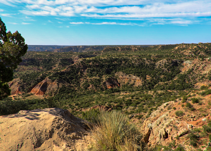
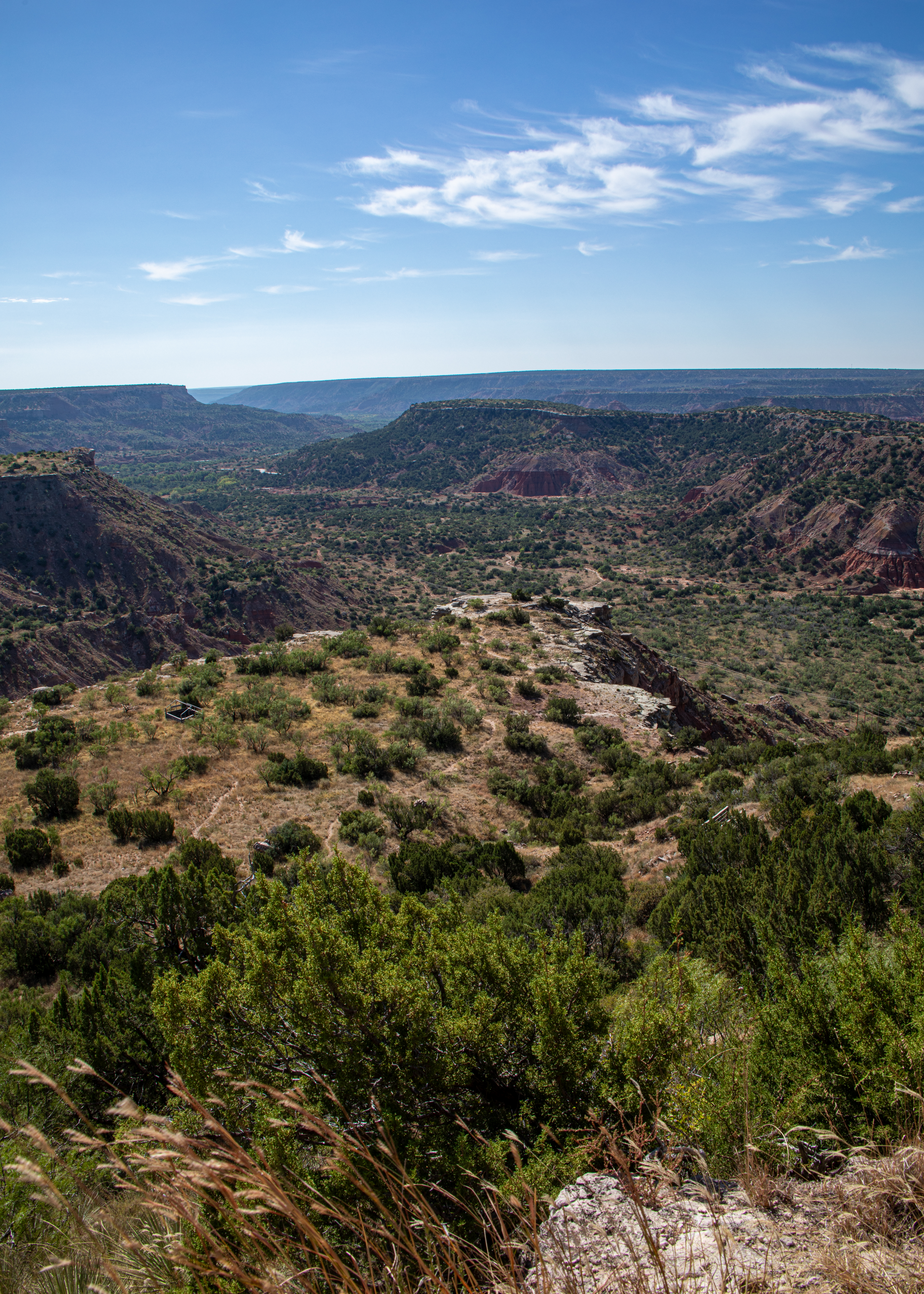
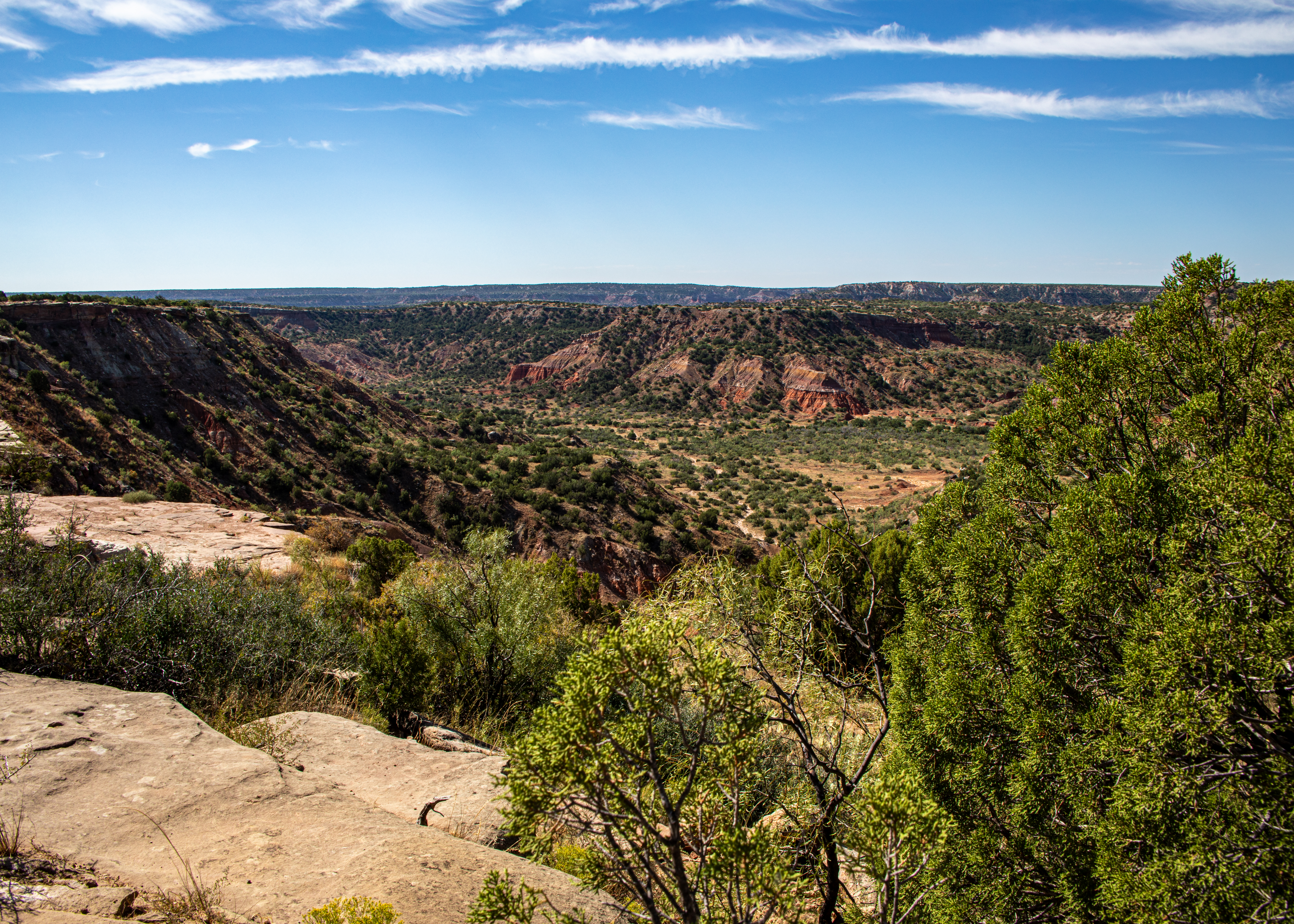
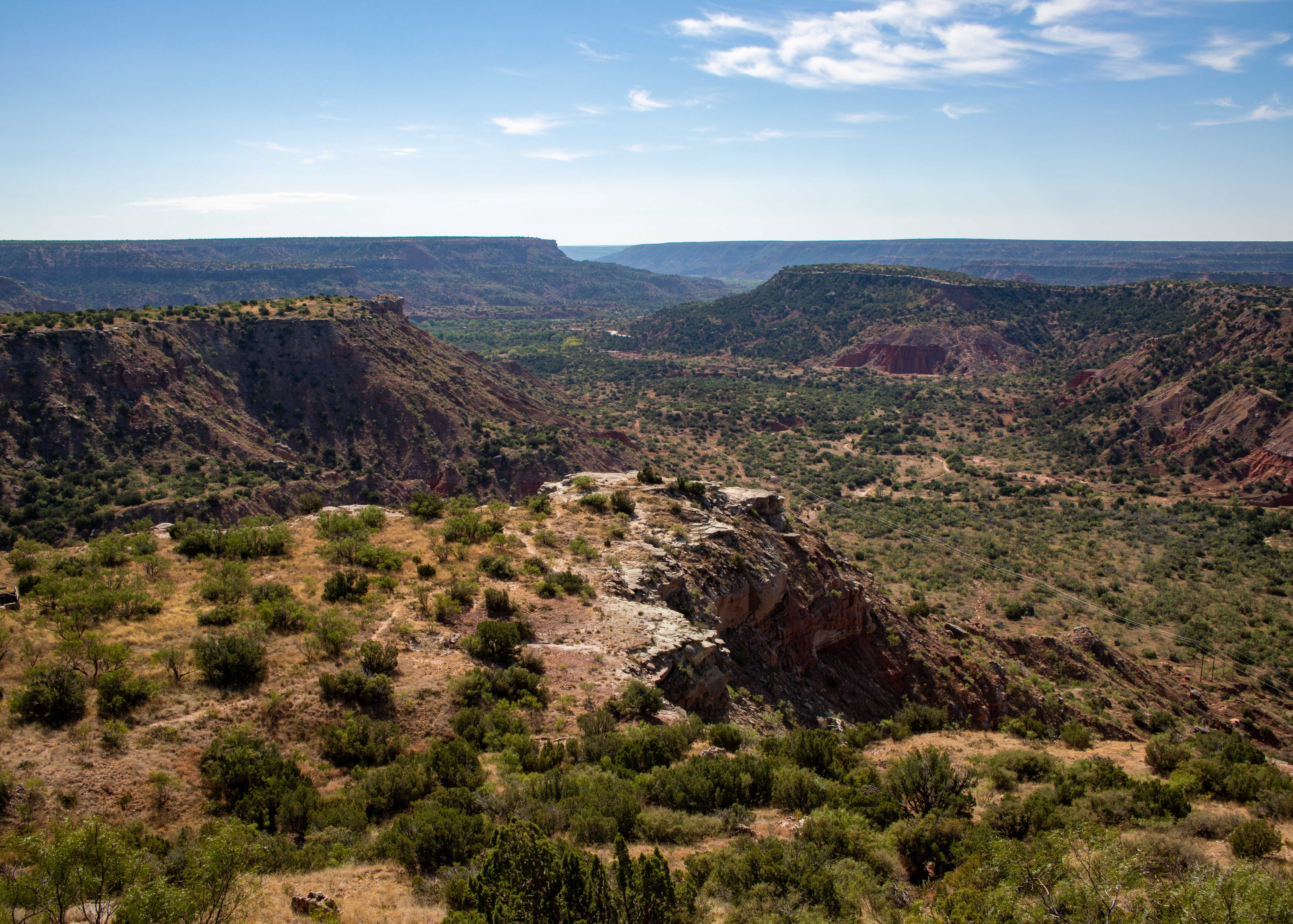
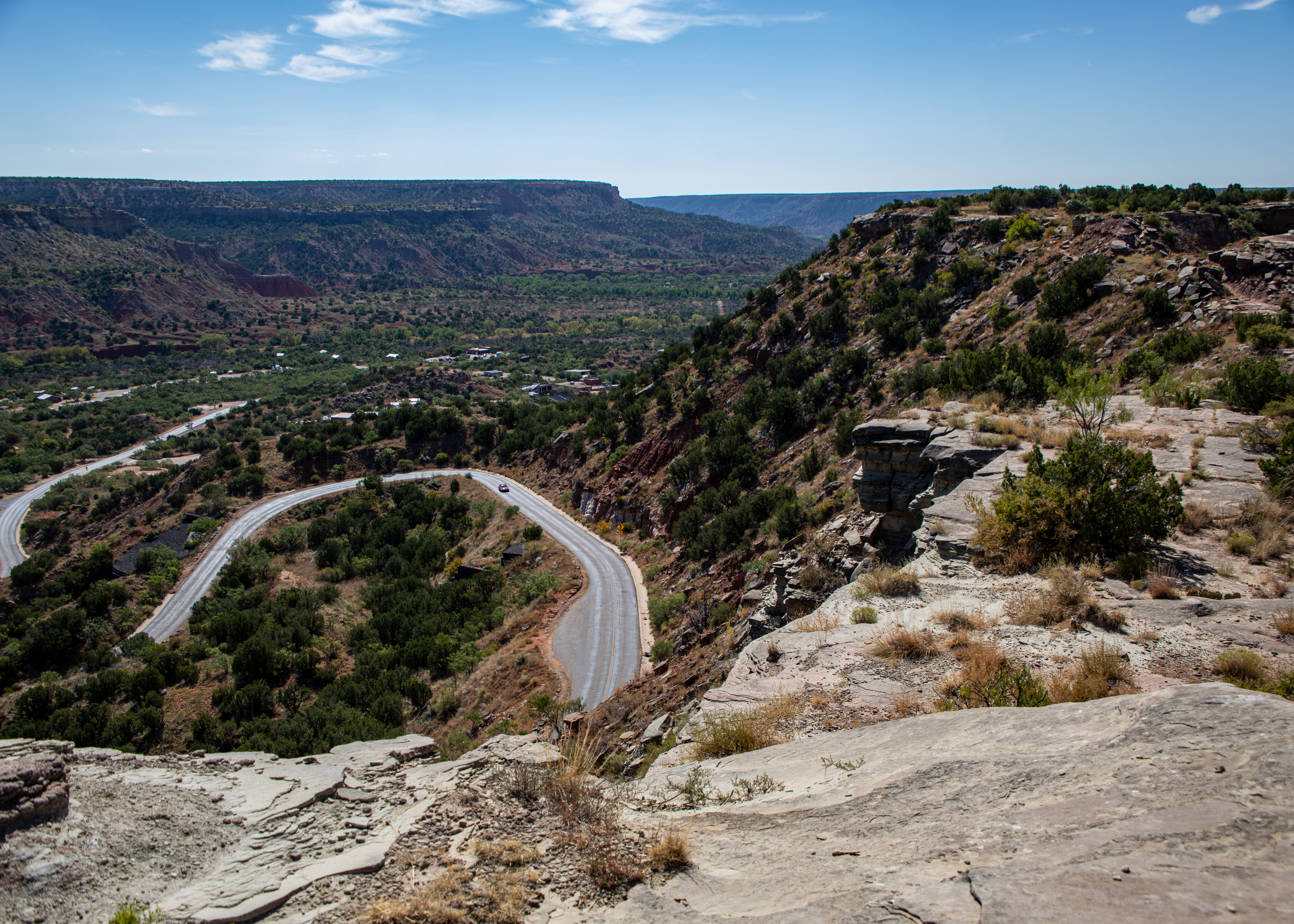
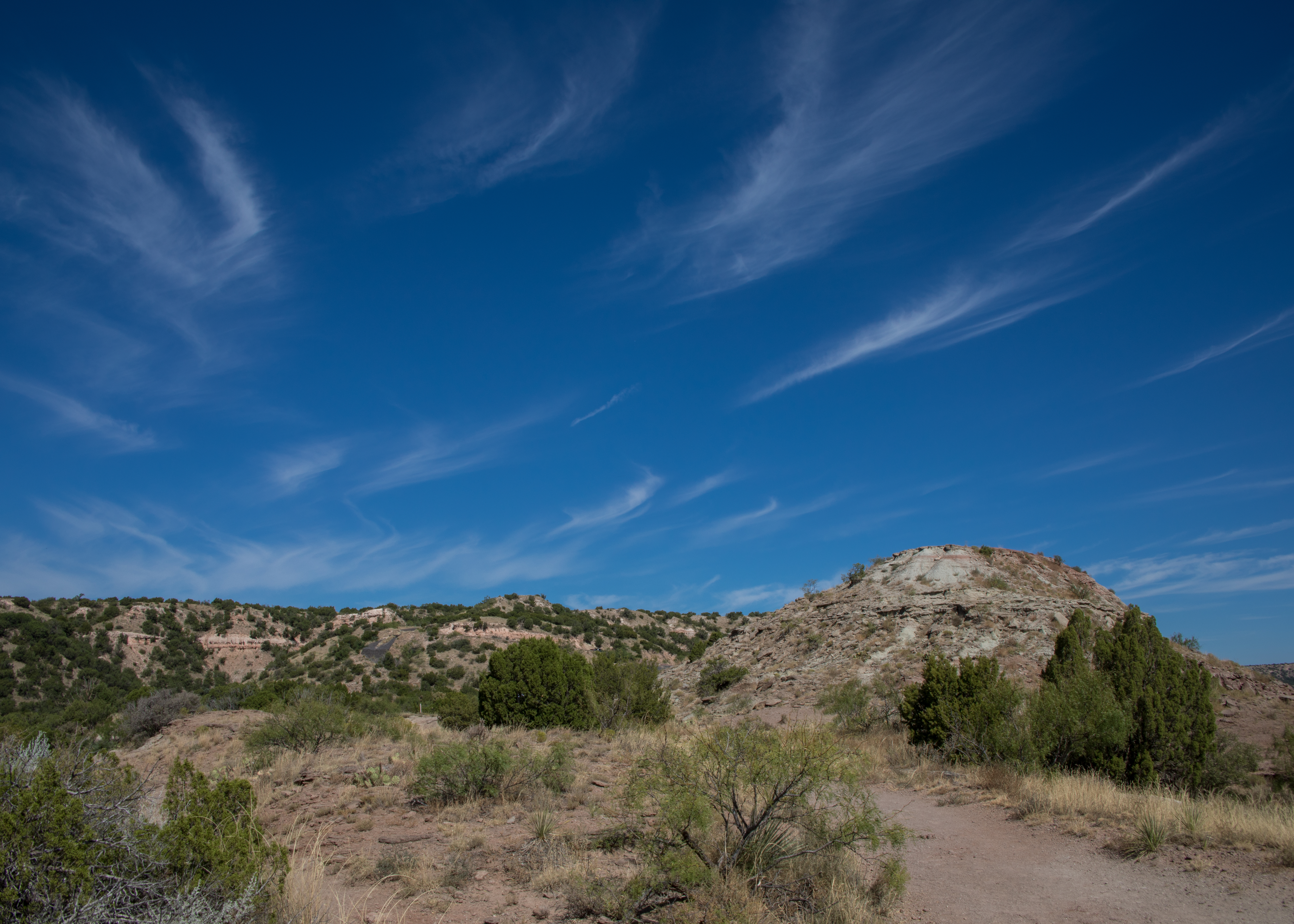
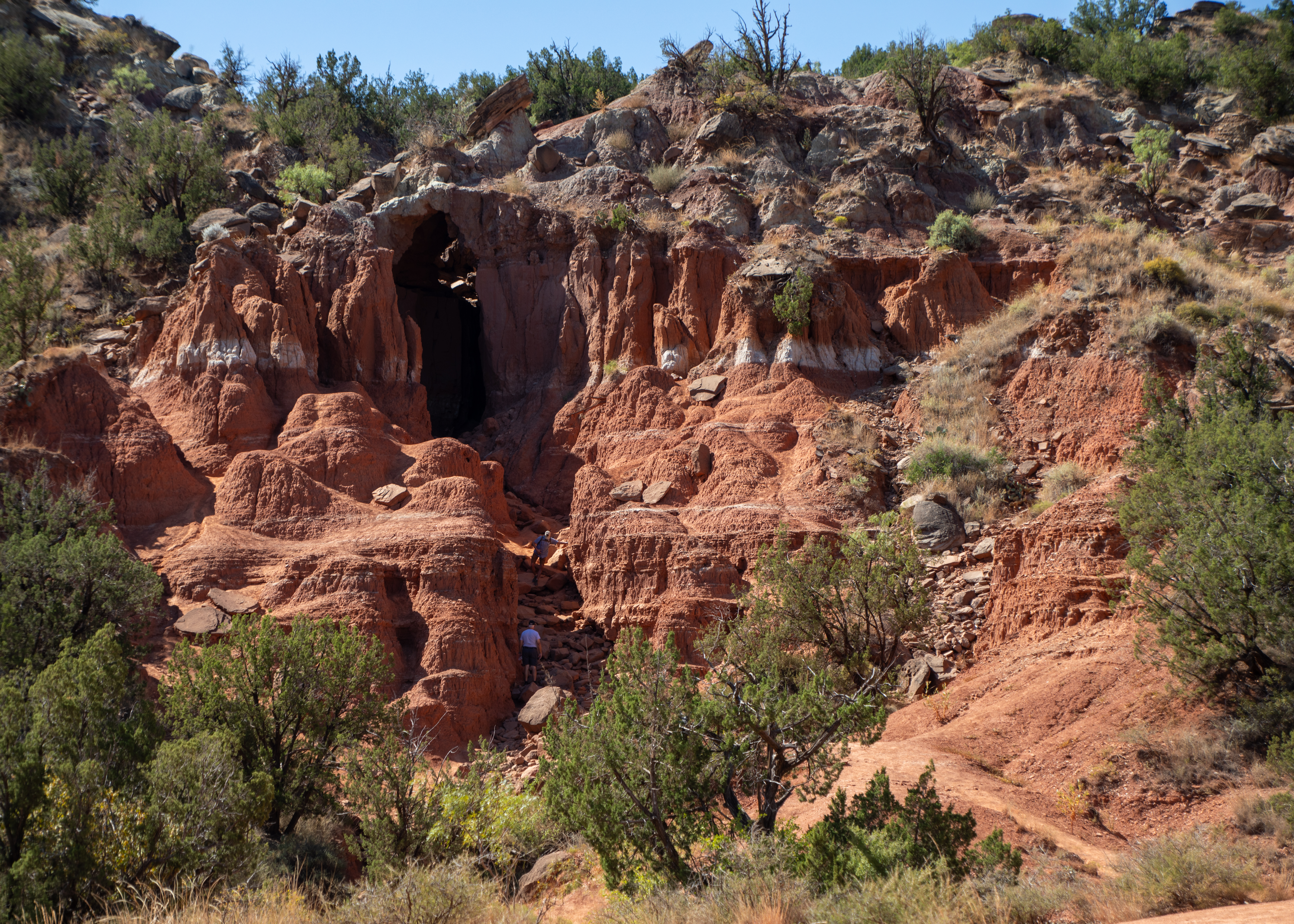
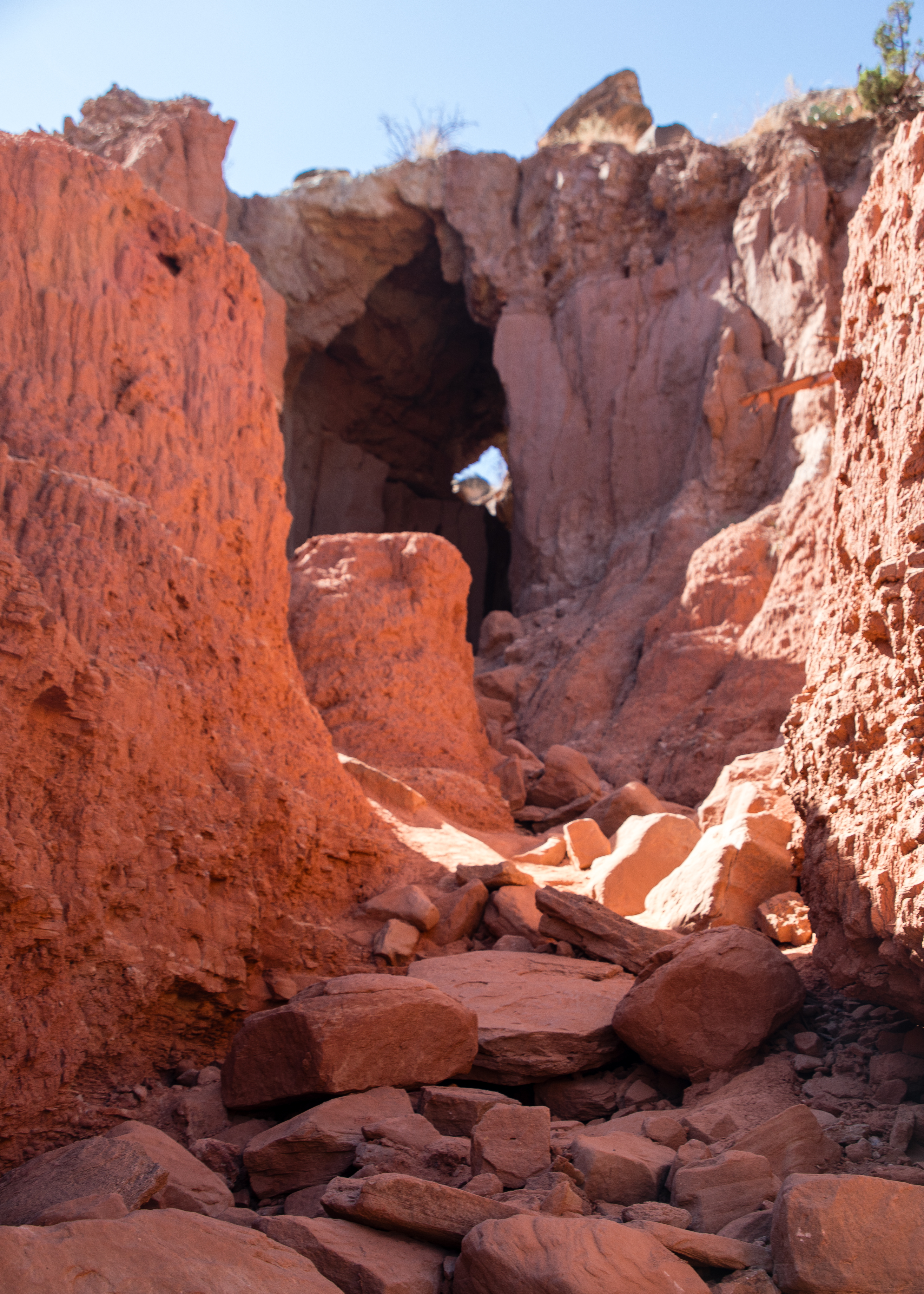
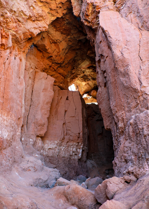
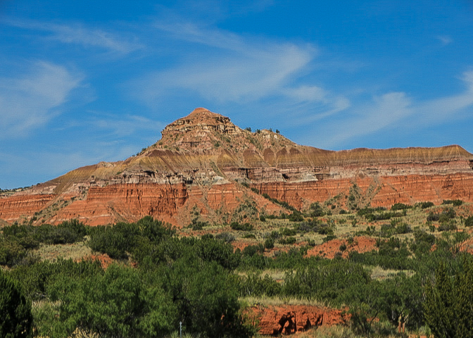
Palo Duro Canyon State Park – The second largest canyon in the country lies in the heart of the Texas Panhandle. Palo Duro is a canyon system of the Caprock Escarpment. As one of the largest canyons in the United States, it is roughly 25–40 mi long and has an average width of 6 mi, but reaches a width of 20 mi at places. It was formed by millions of years of water erosion by the Prairie Dog Town Fork of the Red River and the West Texas wind. With a descent of some 800 feet to the canyon floor and more than 16 miles of paved road, Palo Duro Canyon State Park offers fantastic scenic views, historic sites and markers, miles and miles of hiking and biking trails.
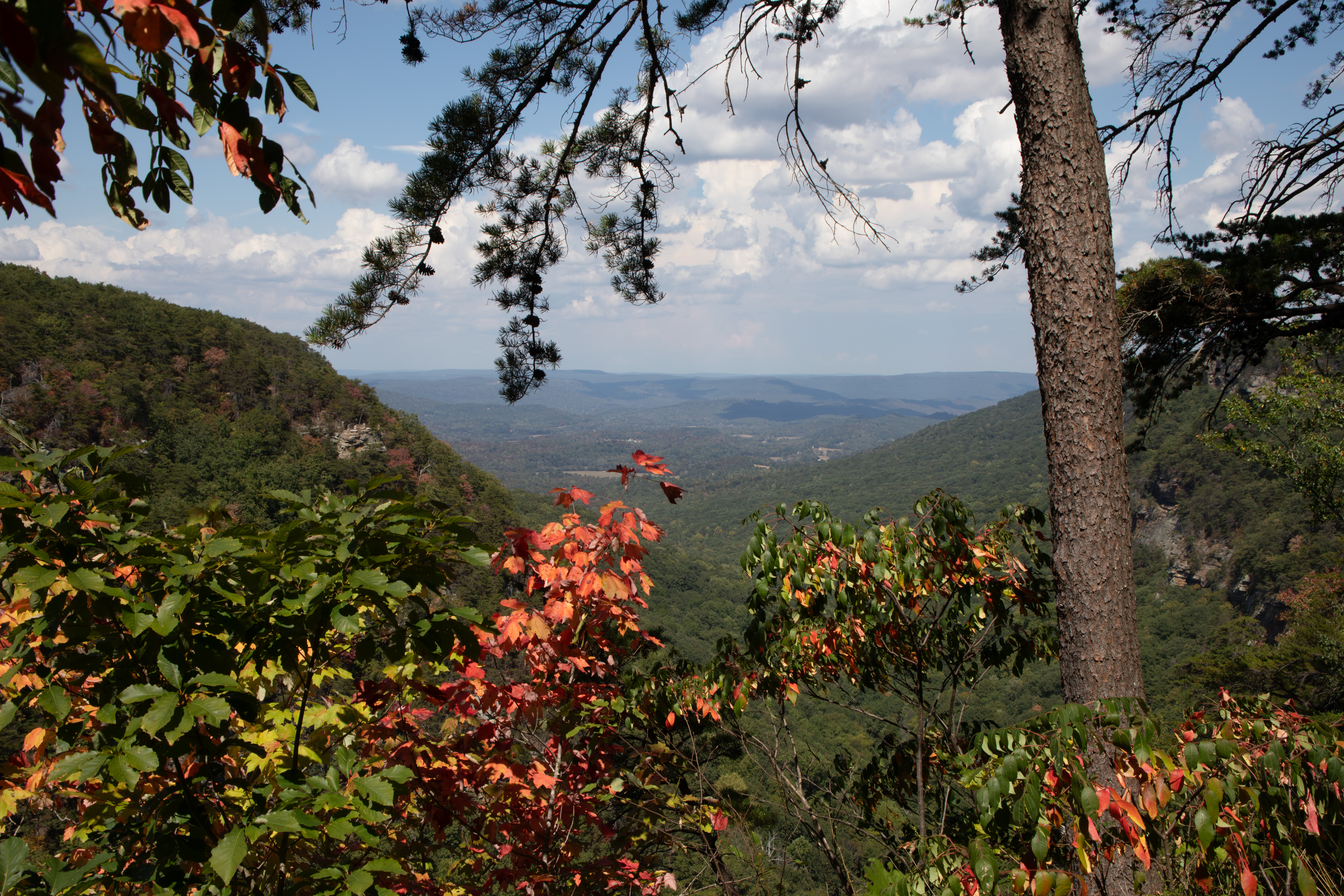
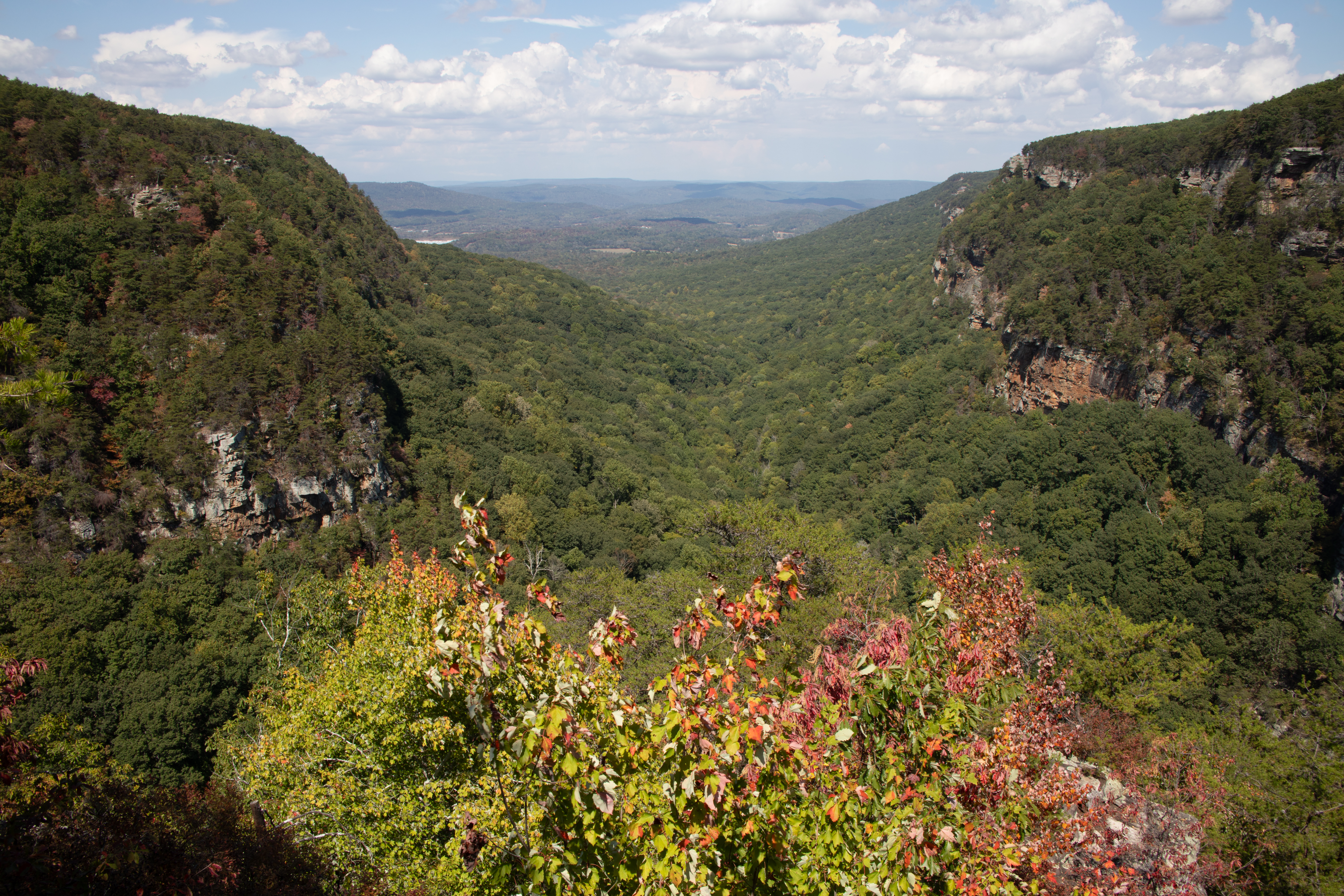
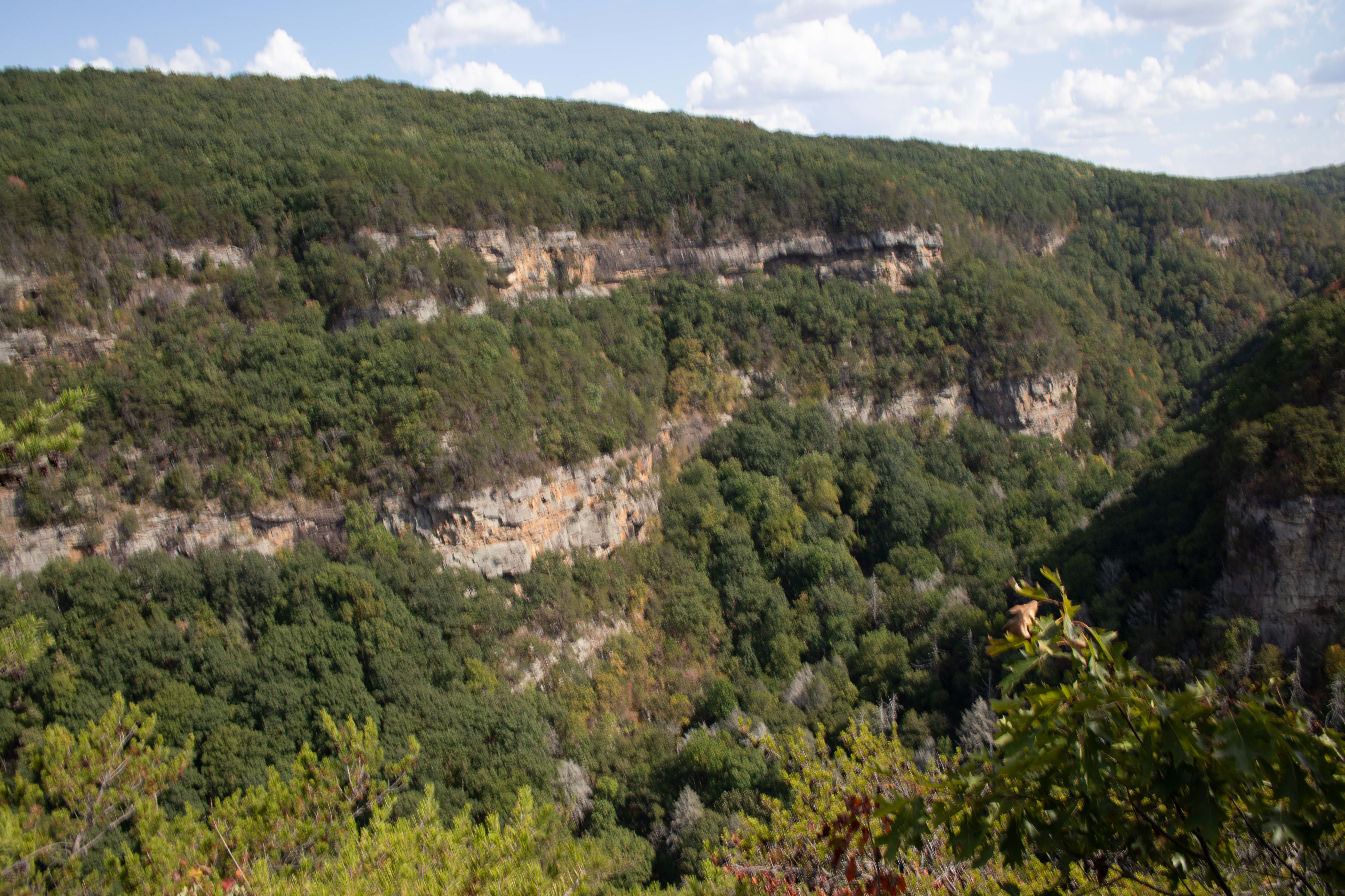
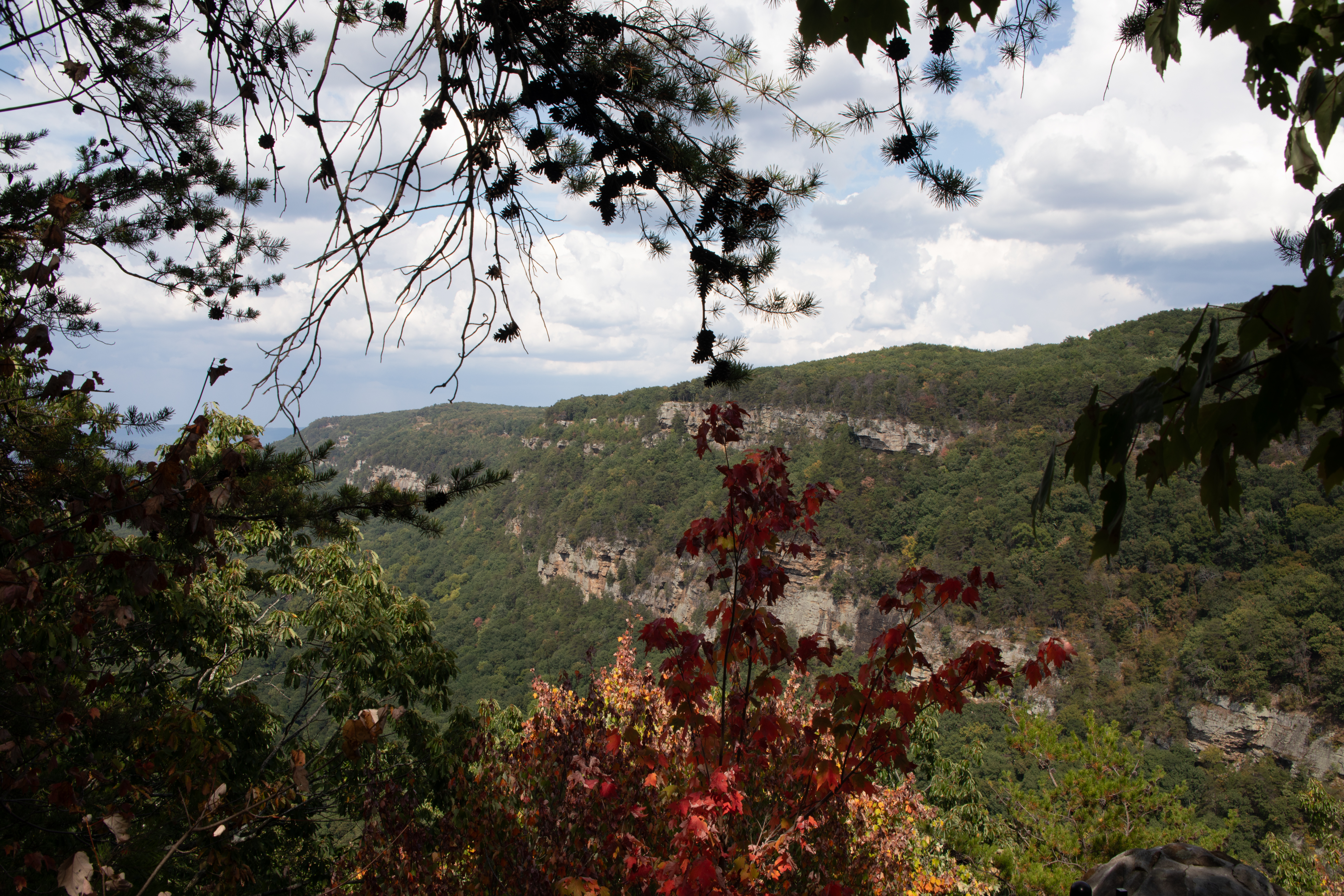
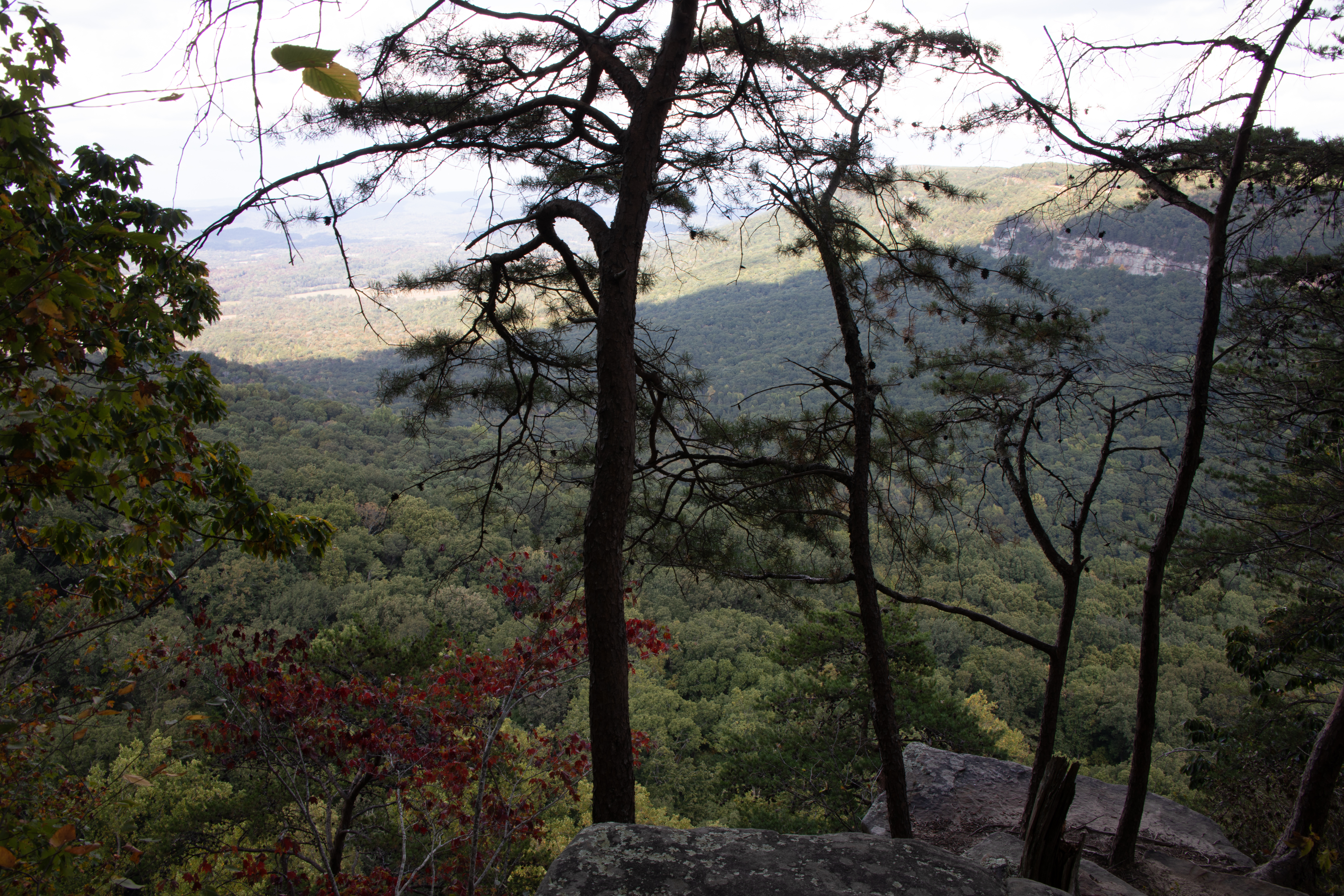
Cloudland Canyon State Park – Located on the western edge of Lookout Mountain, this is one of the most scenic parks in Georgia, offering rugged geology and beautiful vistas. The park straddles a deep gorge cut into the mountain by Sitton Gulch Creek, and elevation differs from 800 to 1,980 feet. The most spectacular view into the canyon is found along the West Rim Loop Trail a 5-mile hike which we took.

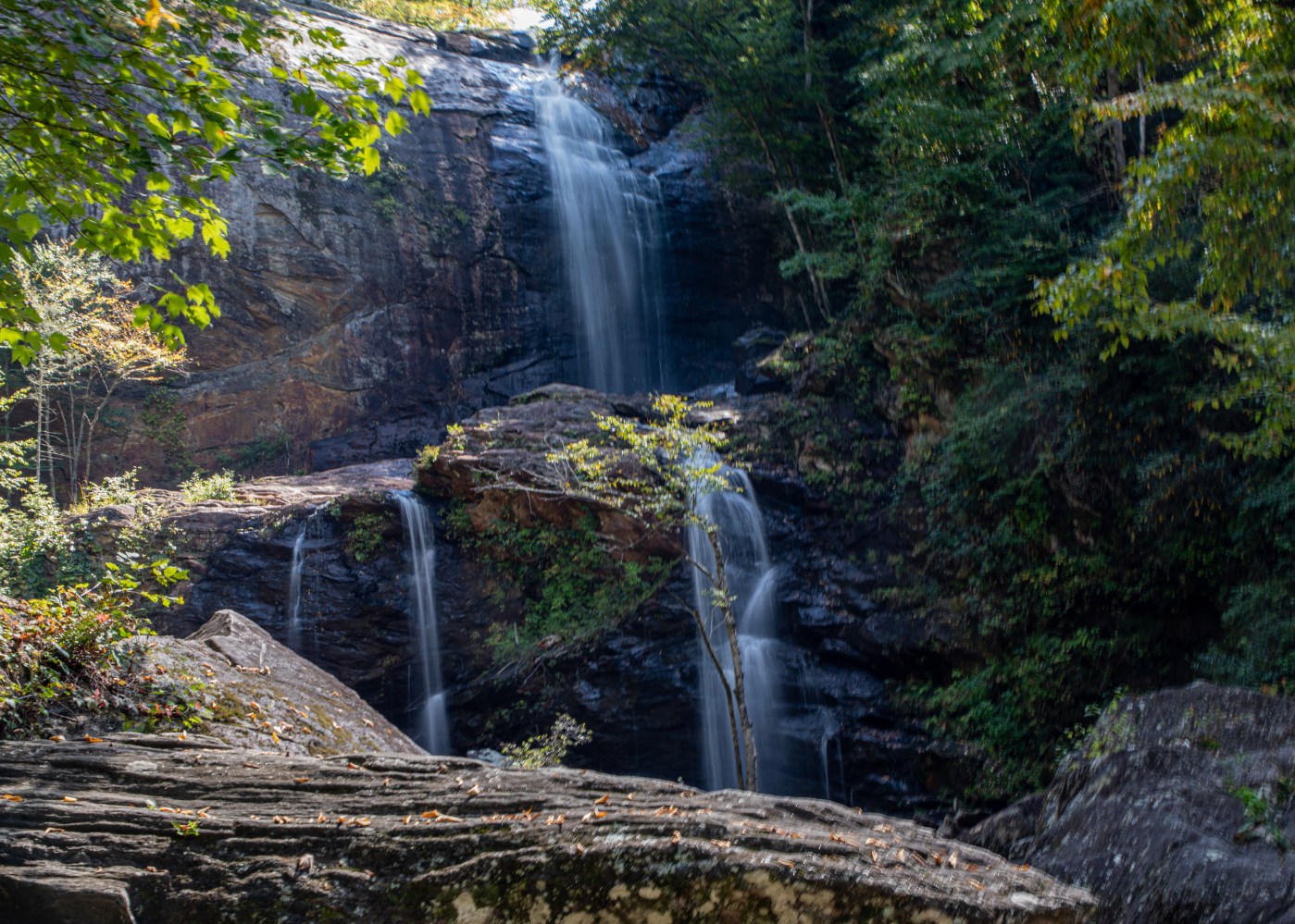
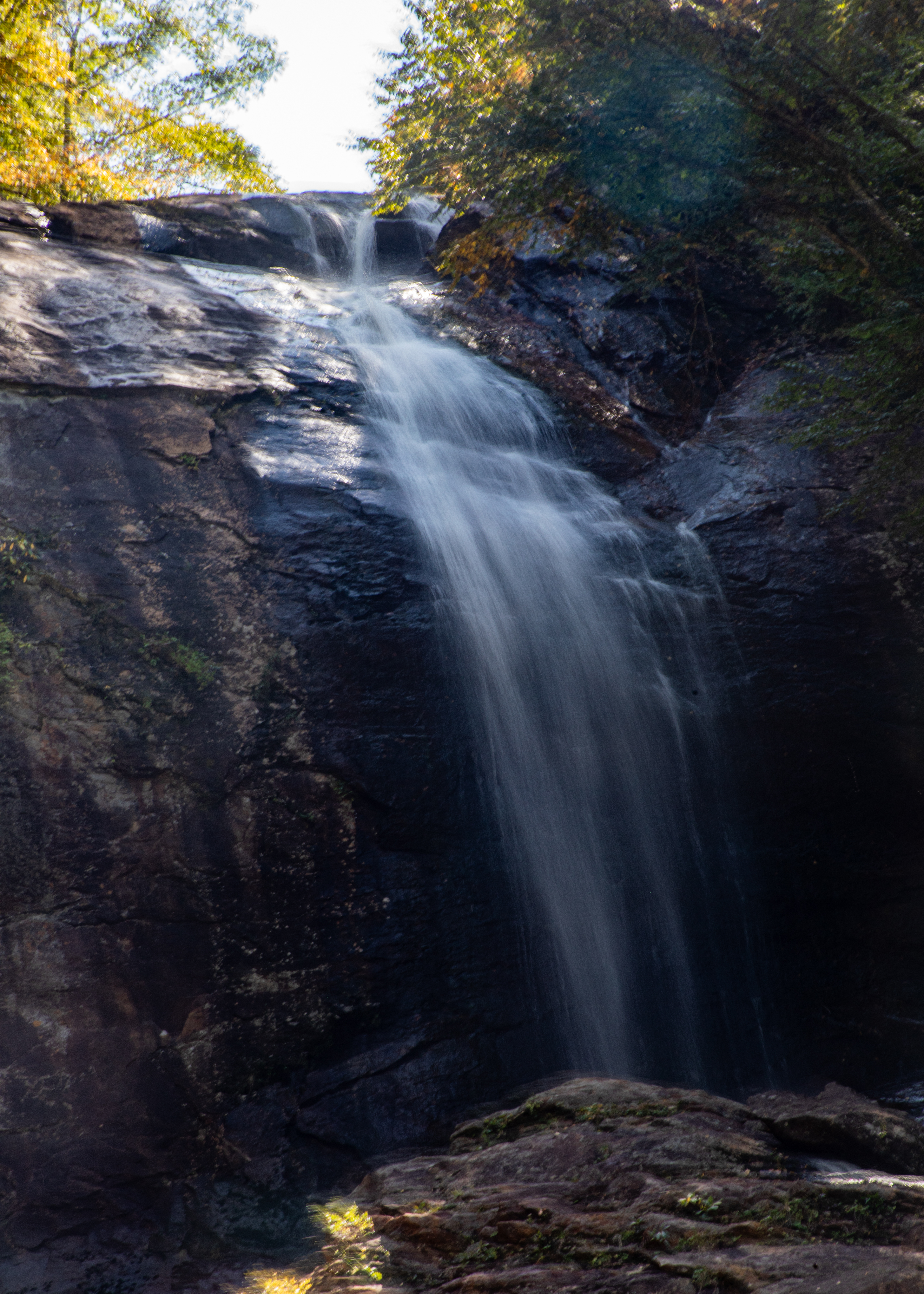
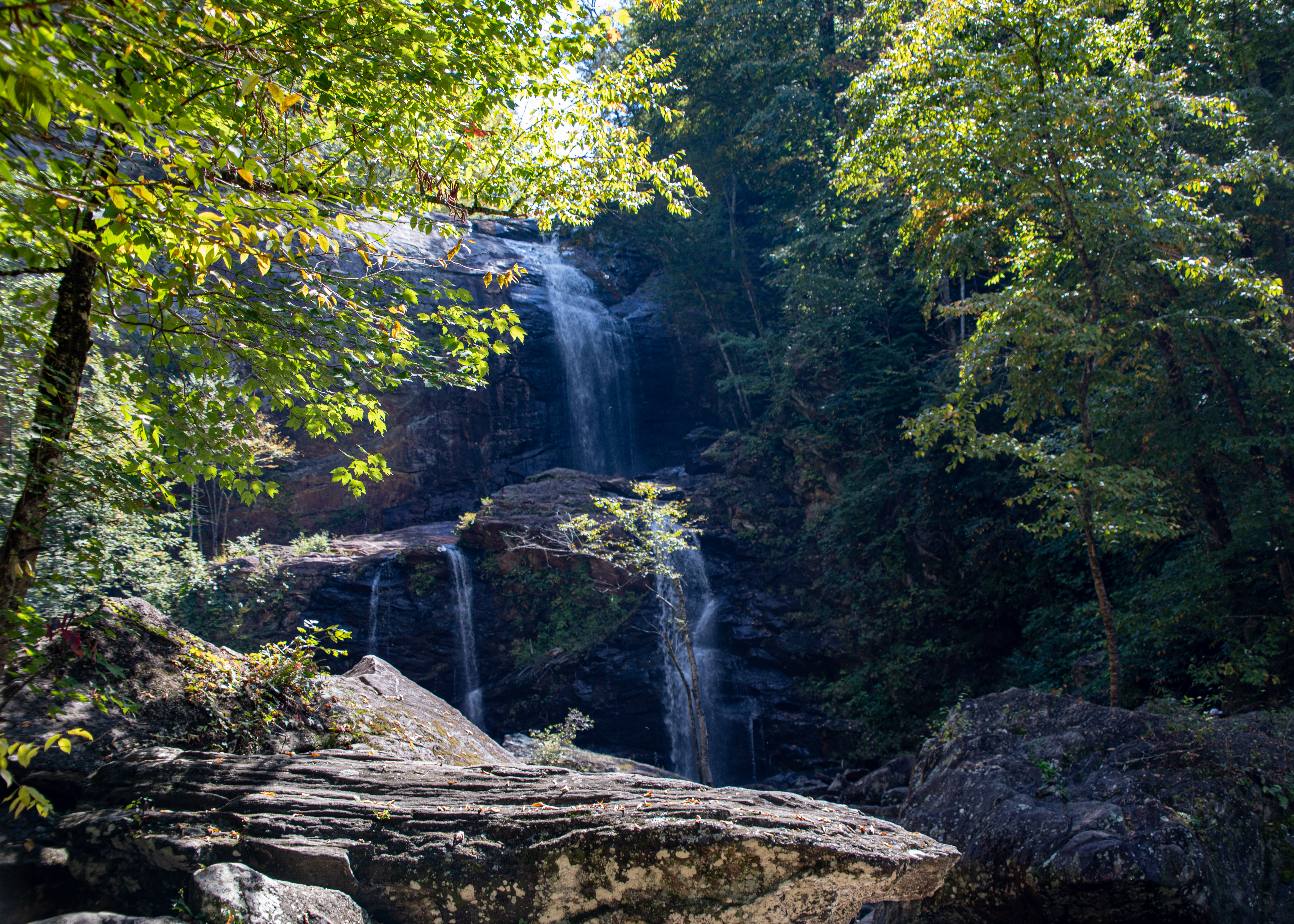
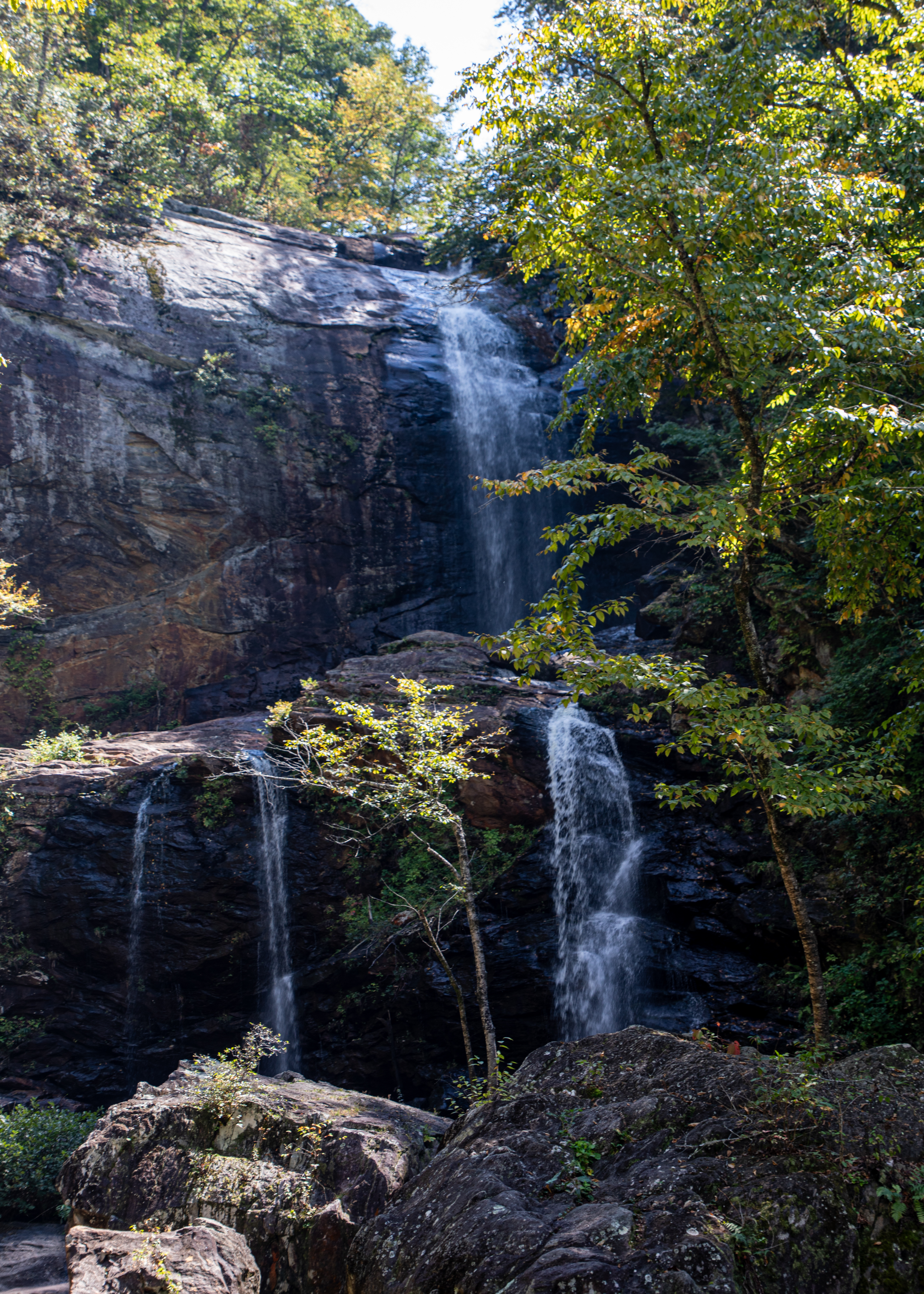
High Falls Waterfall – Just north of Cashiers, on the northern banks of Lake Glenville, the West Fork of the Tuckasegee River pours over a 100+ foot cliff, tumbling in a dramatic multi-tiered waterfall and plunging into a boulder-filled pool below. It’s one of North Carolina’s most beautiful falls.

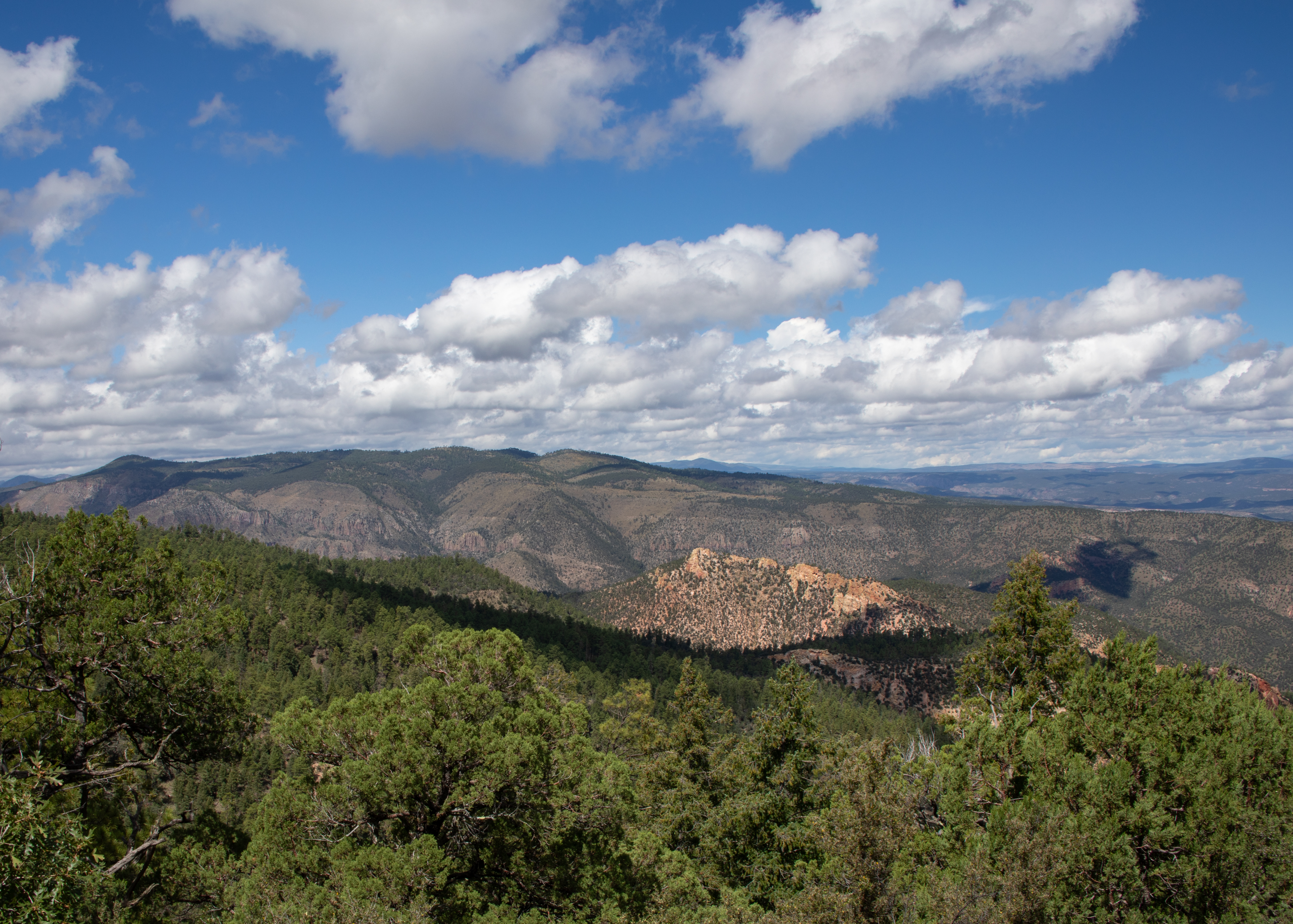
We are now back in Florida and hope you enjoyed traveling with us. We visited 26 states and traversed over 11,000 miles visiting many new sights that we had missed on our 40 earlier trips across country. We still enjoy traveling the red and blue roads rather than Interstate highways. Stealing words from another traveler – keep on traveling – until next time be well.