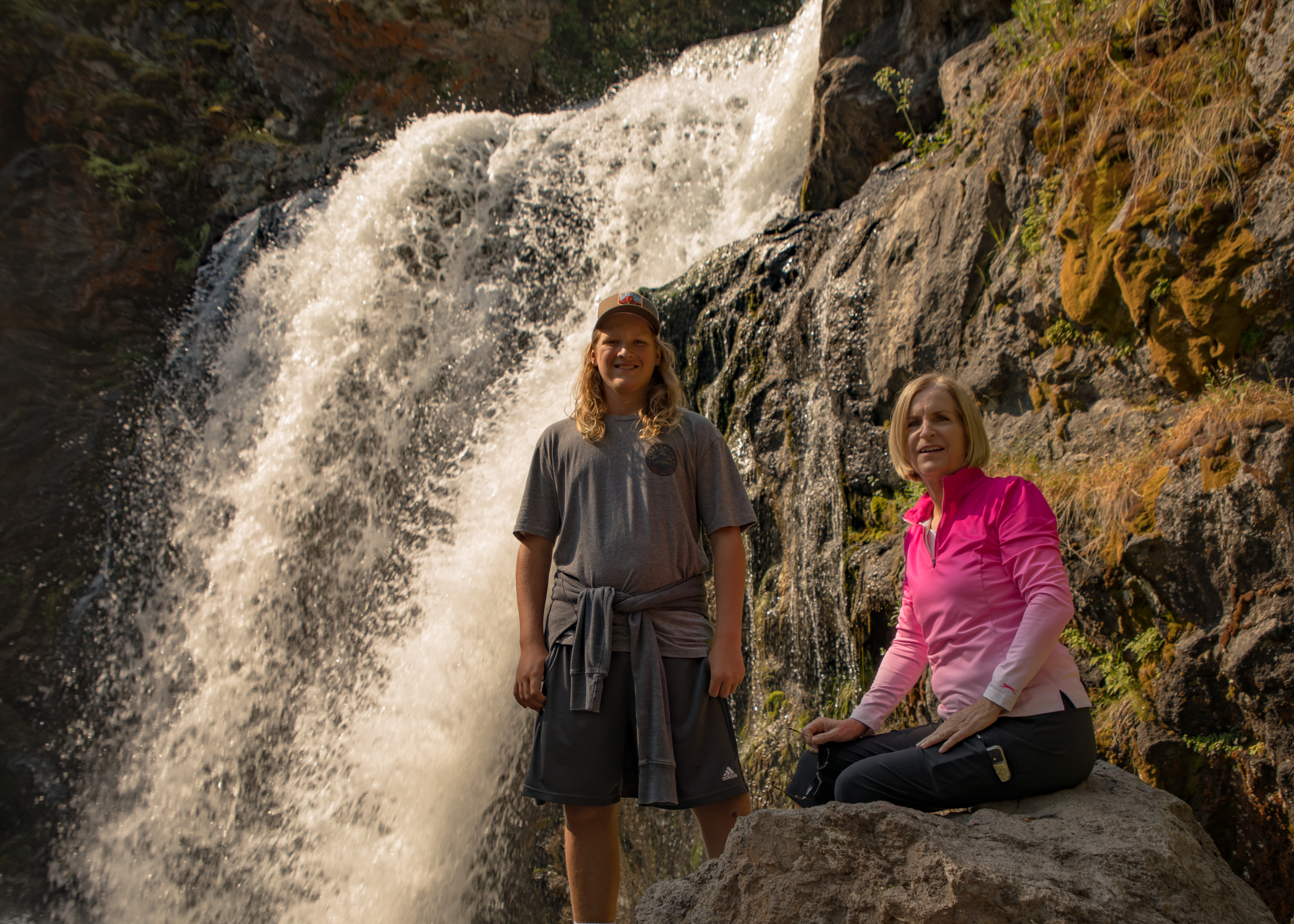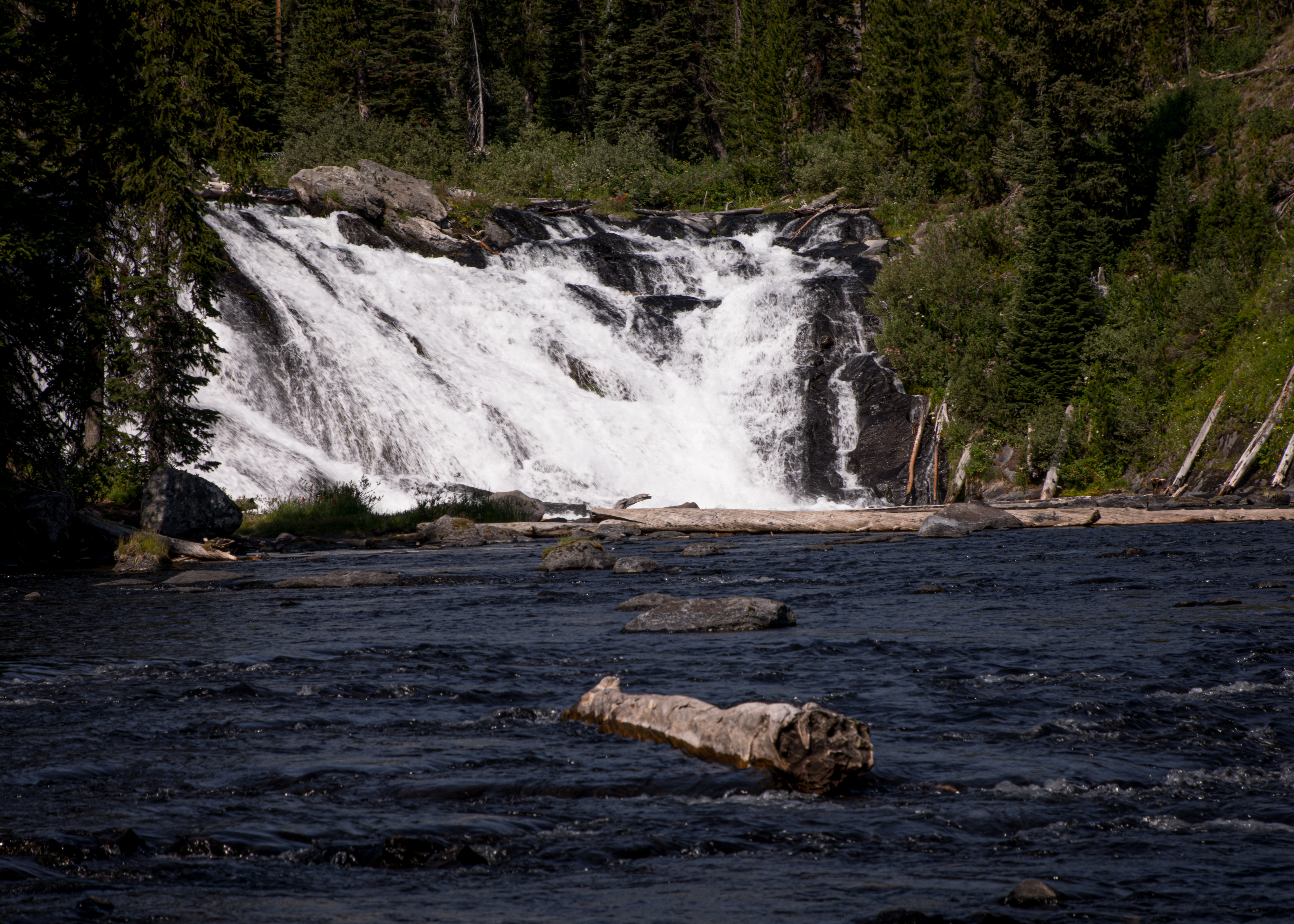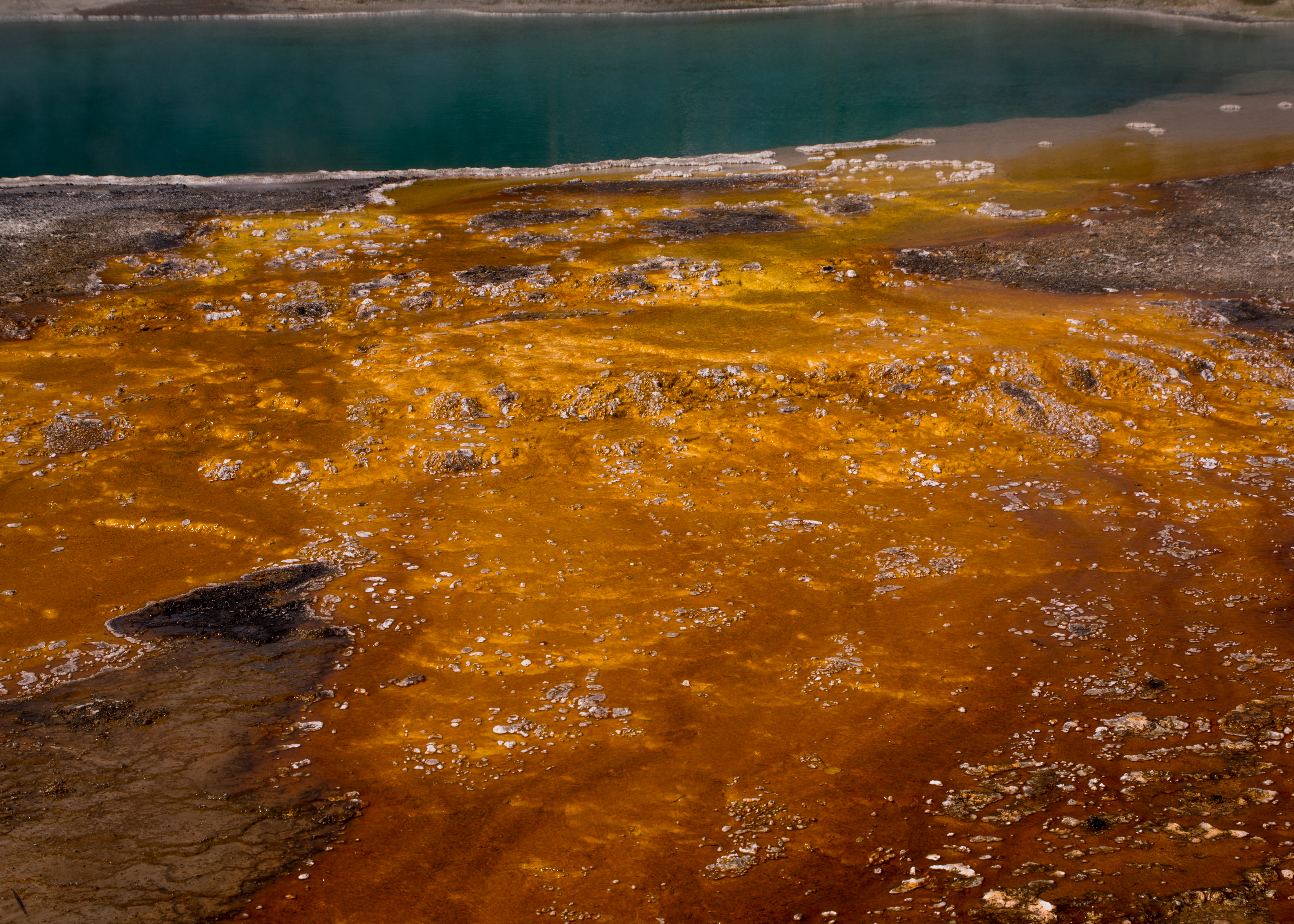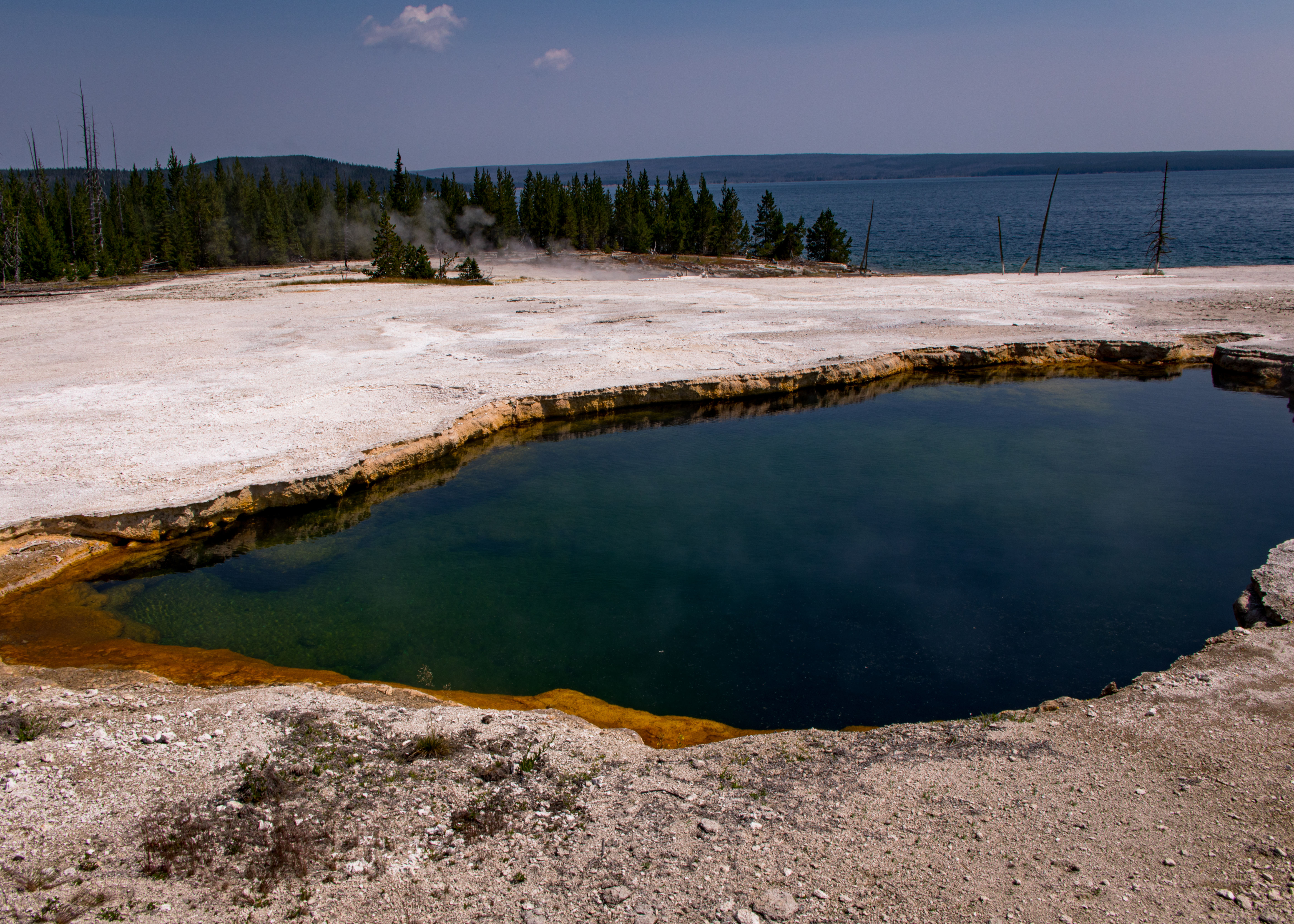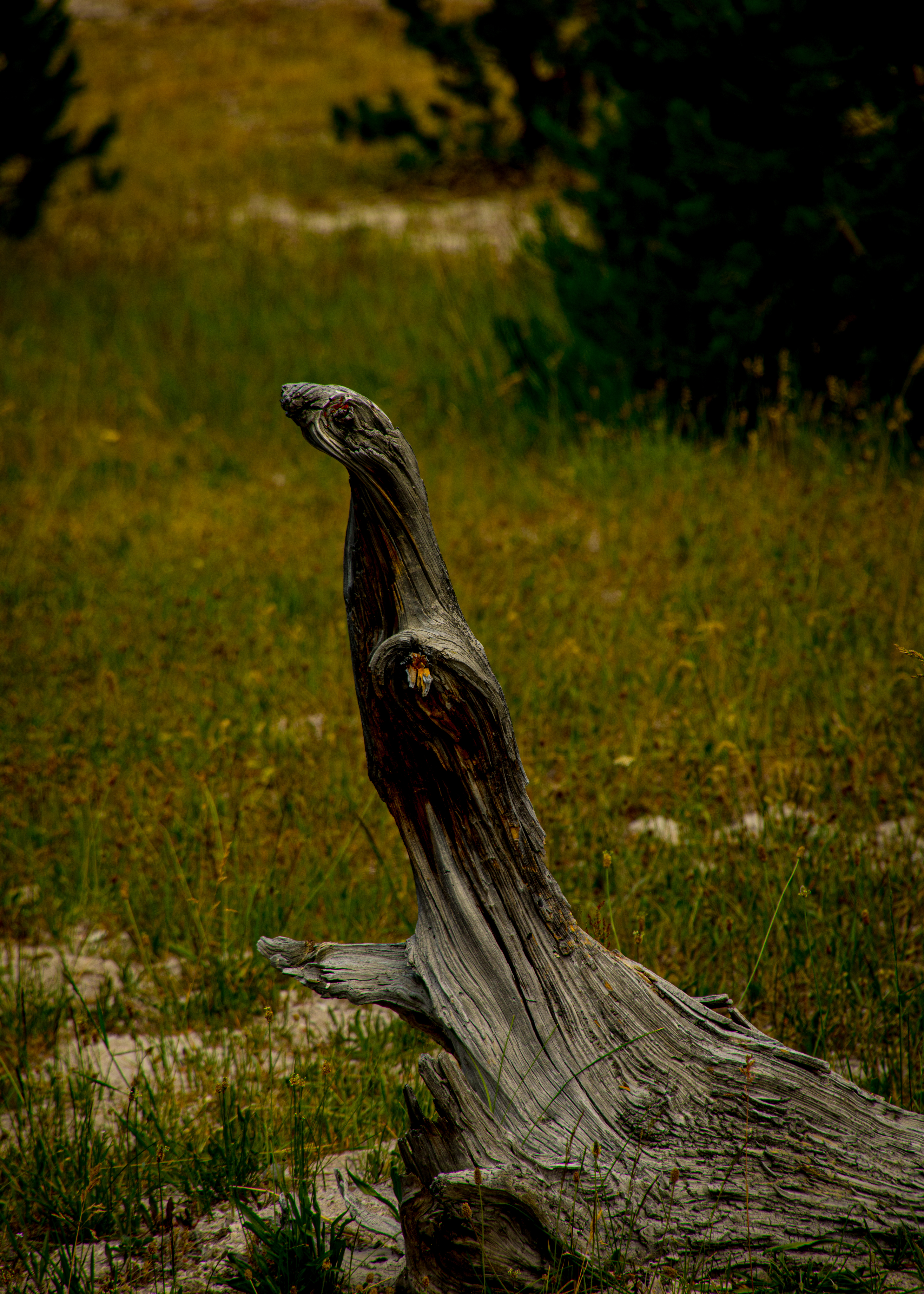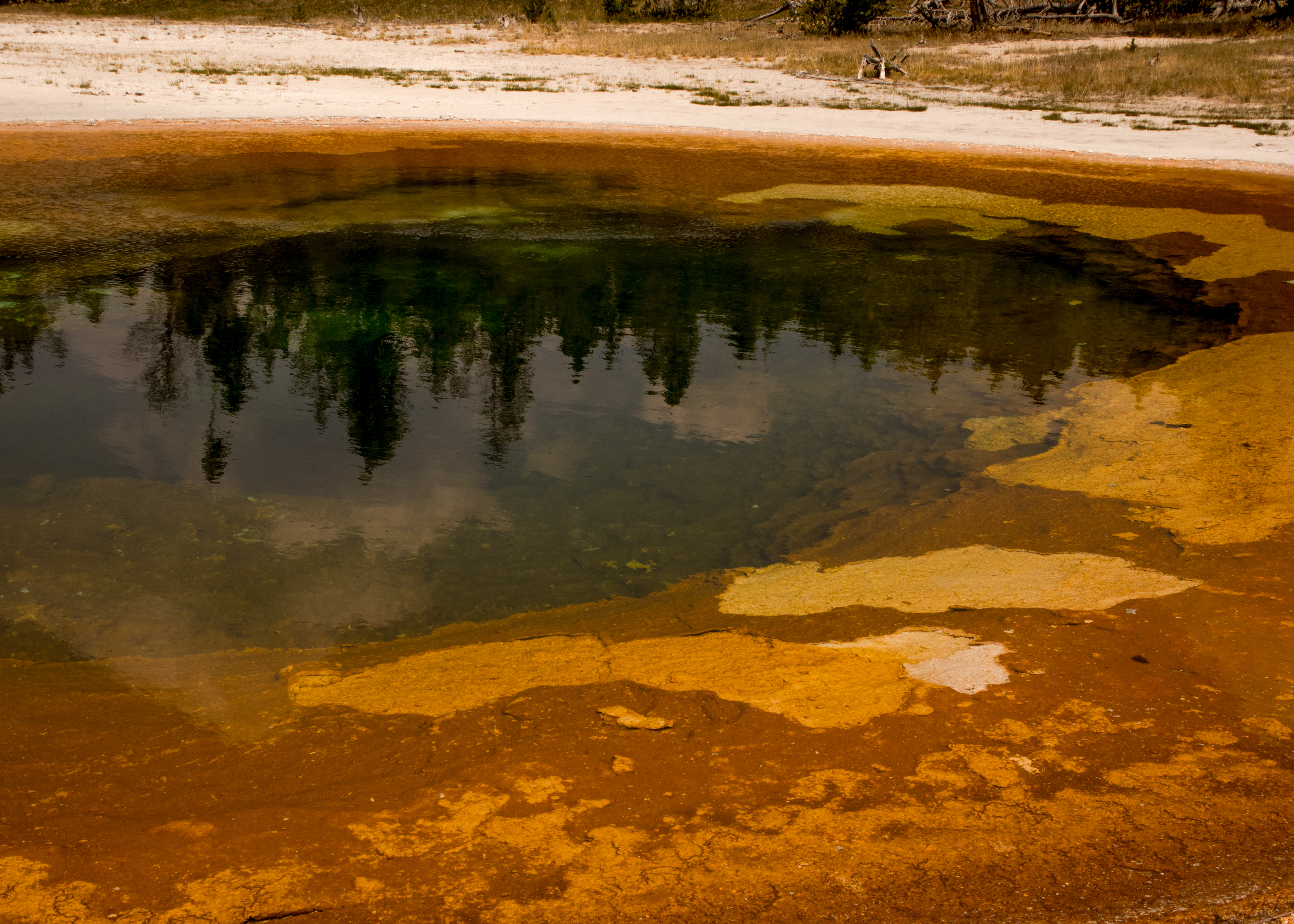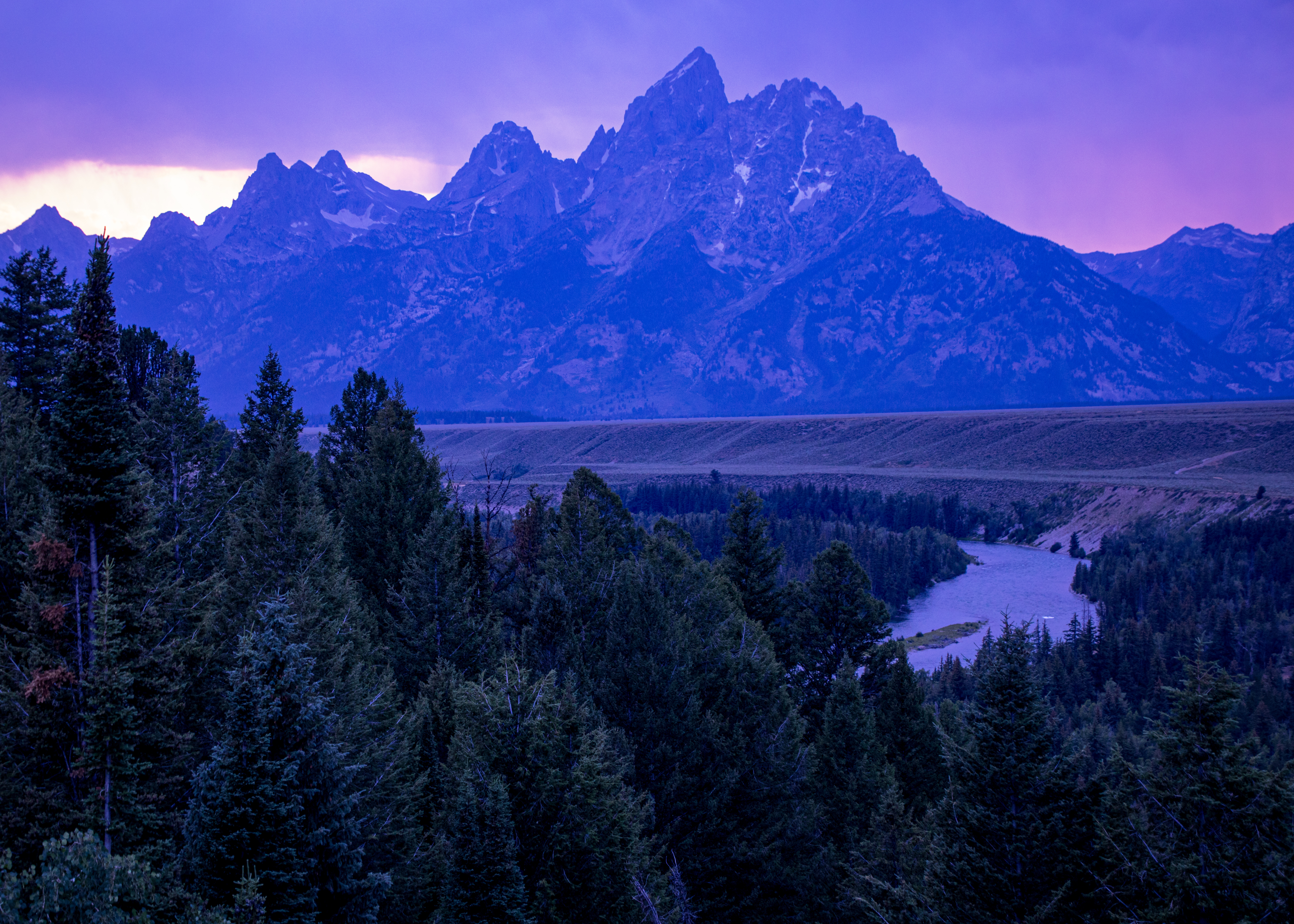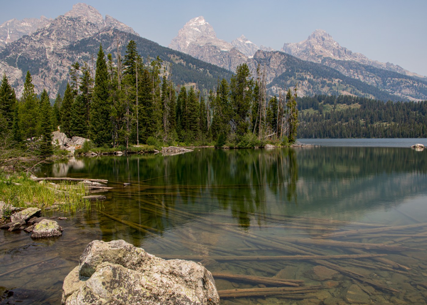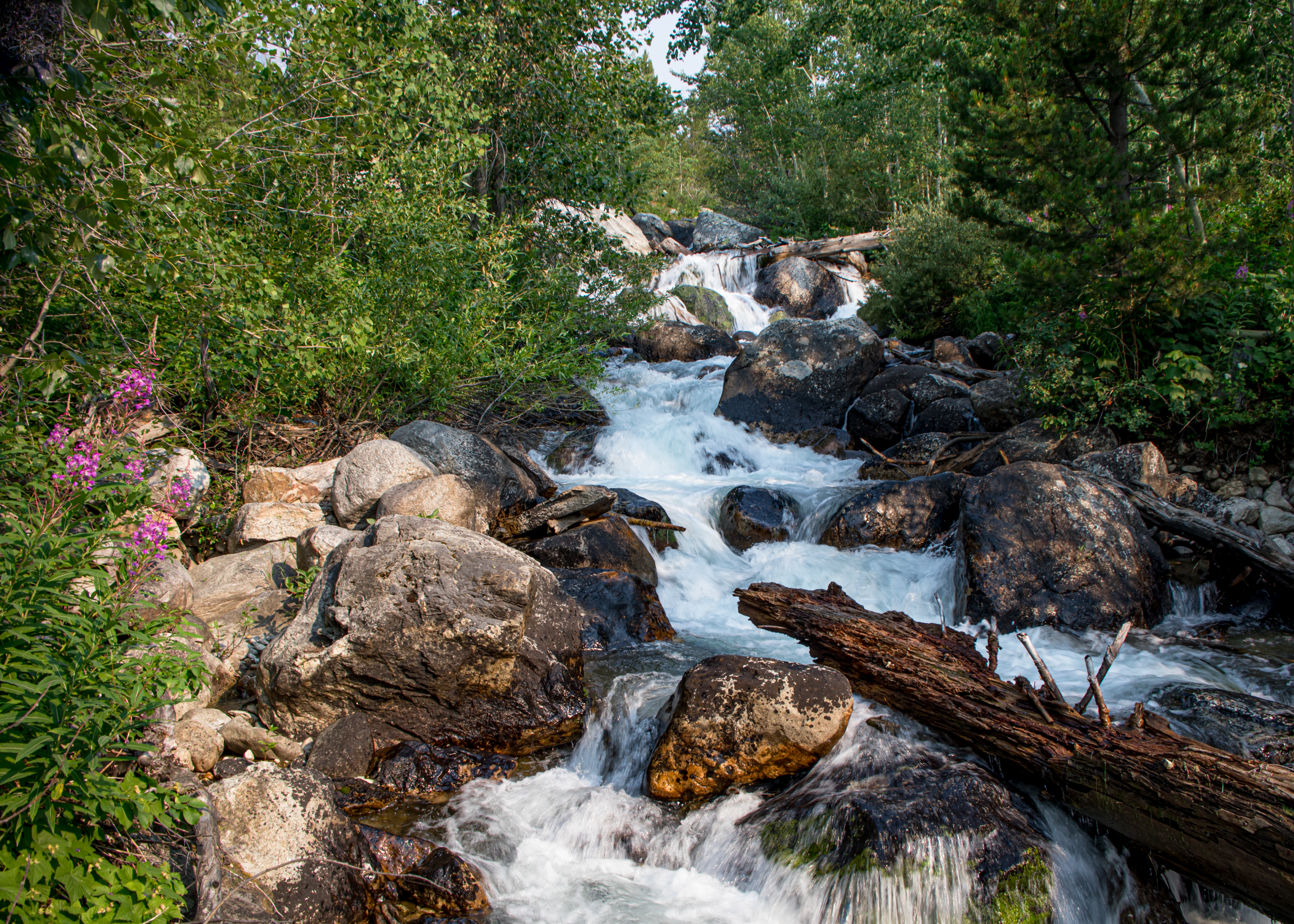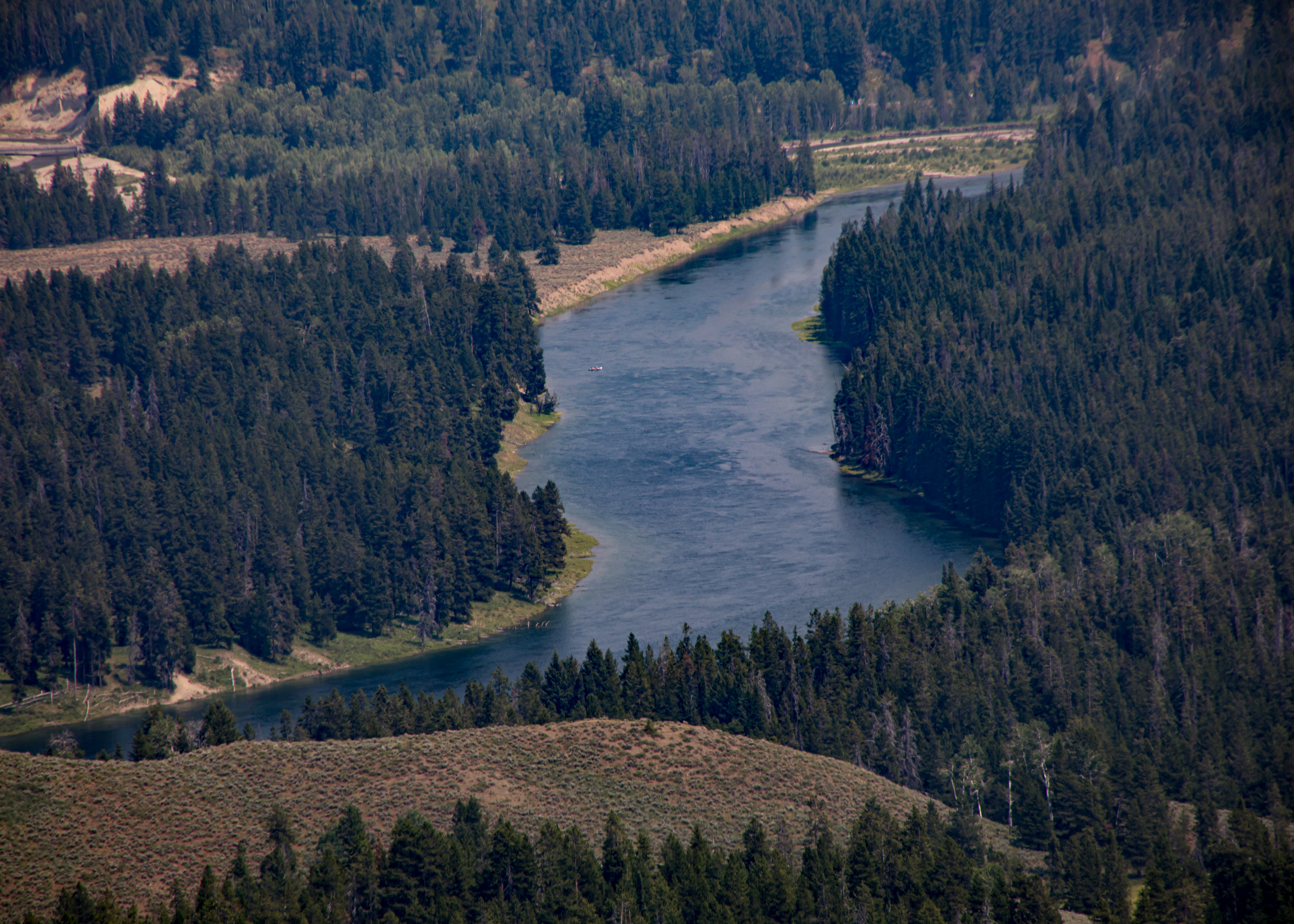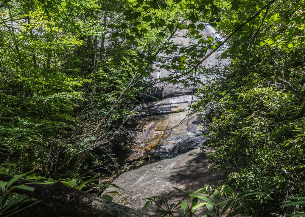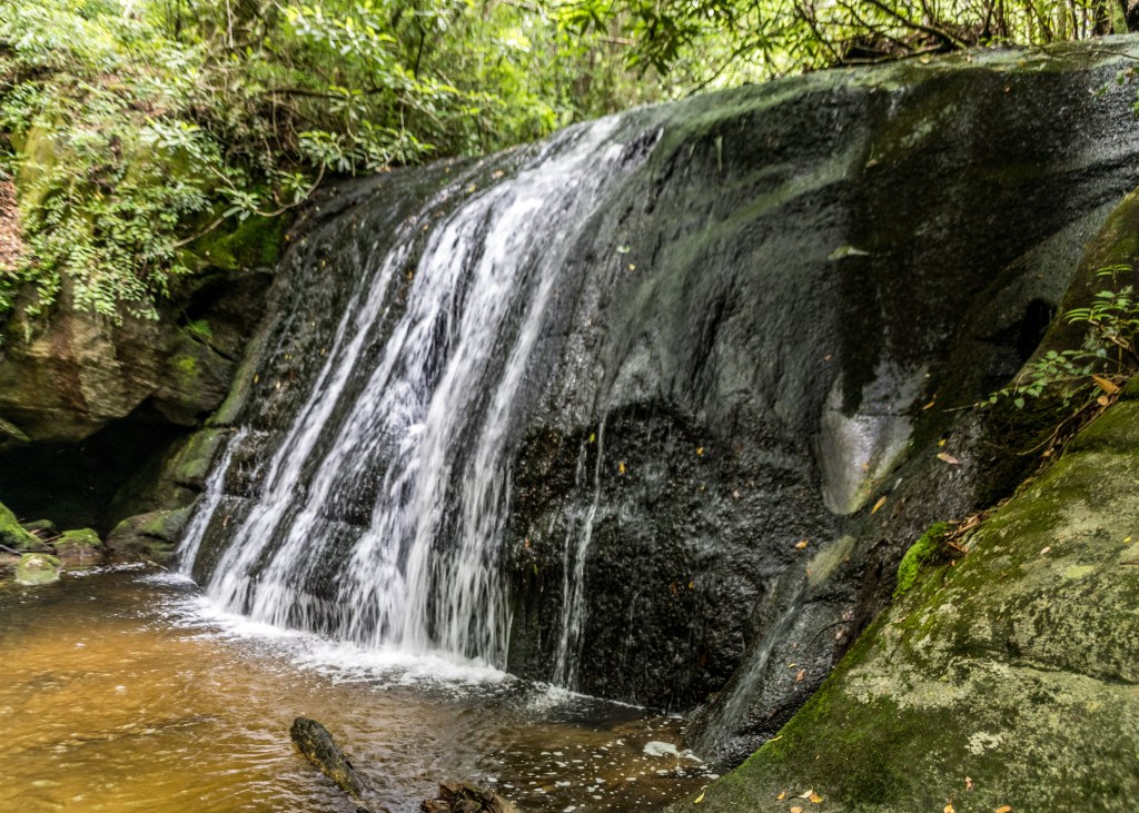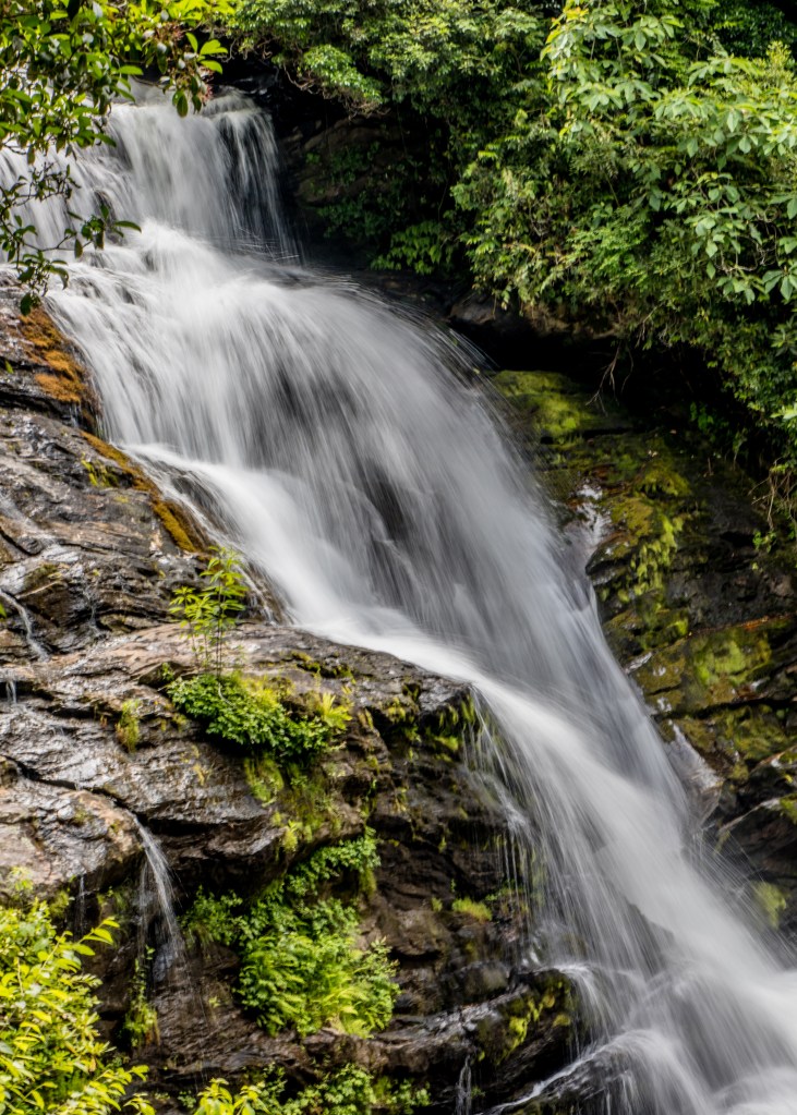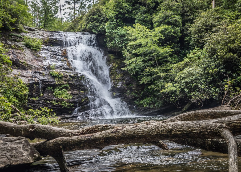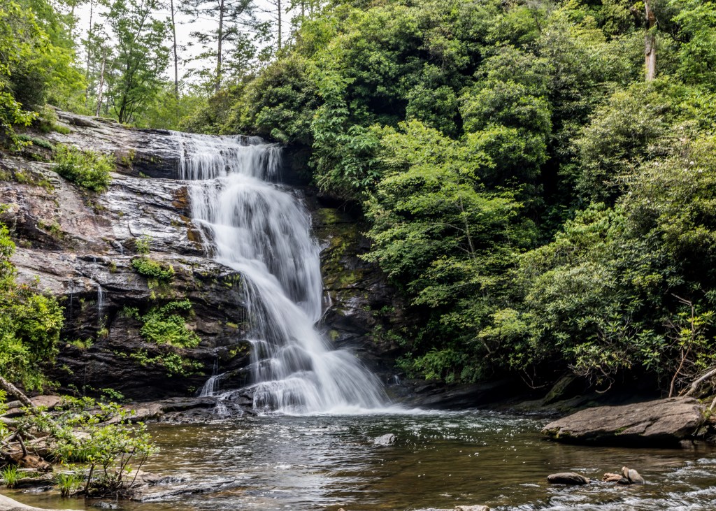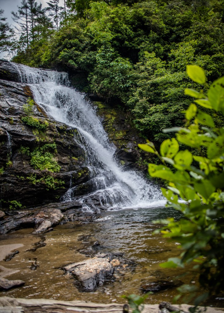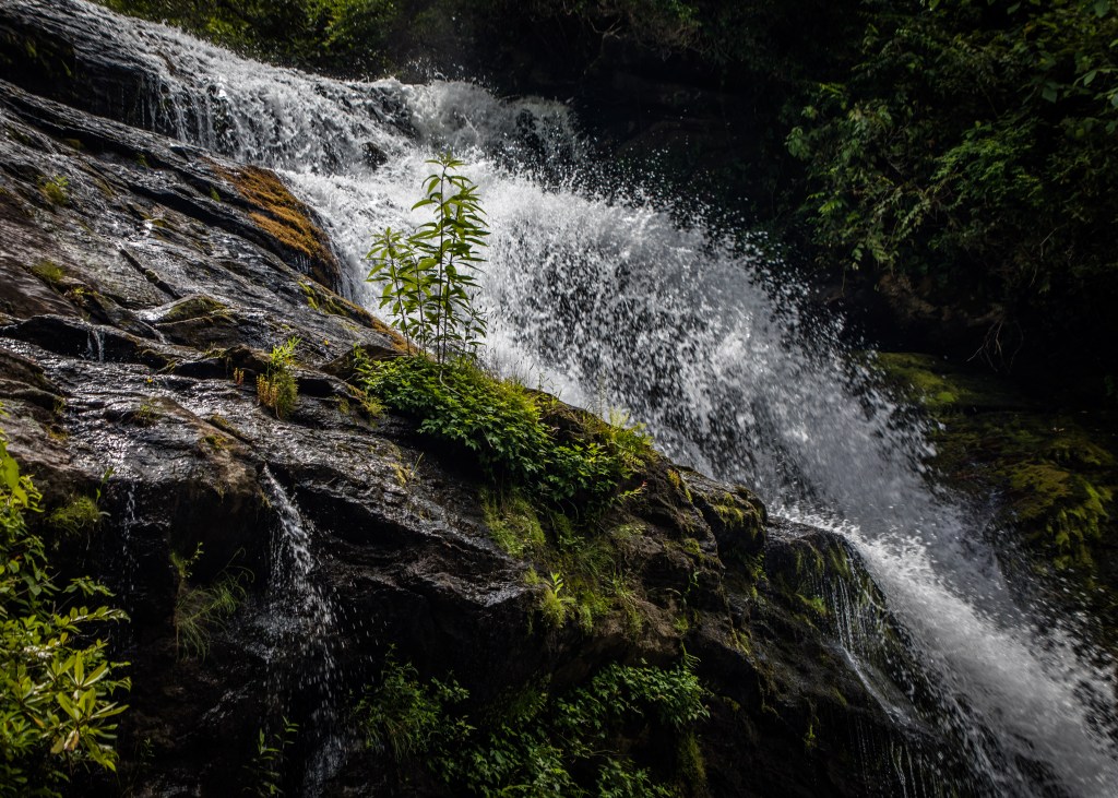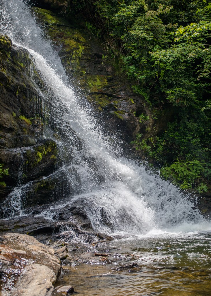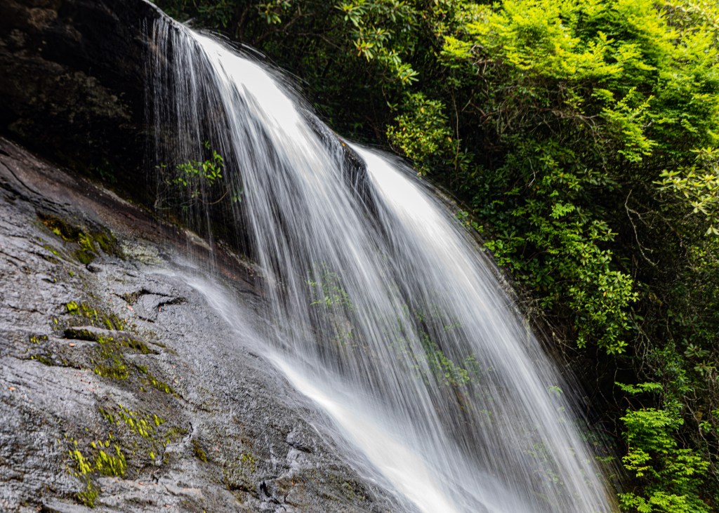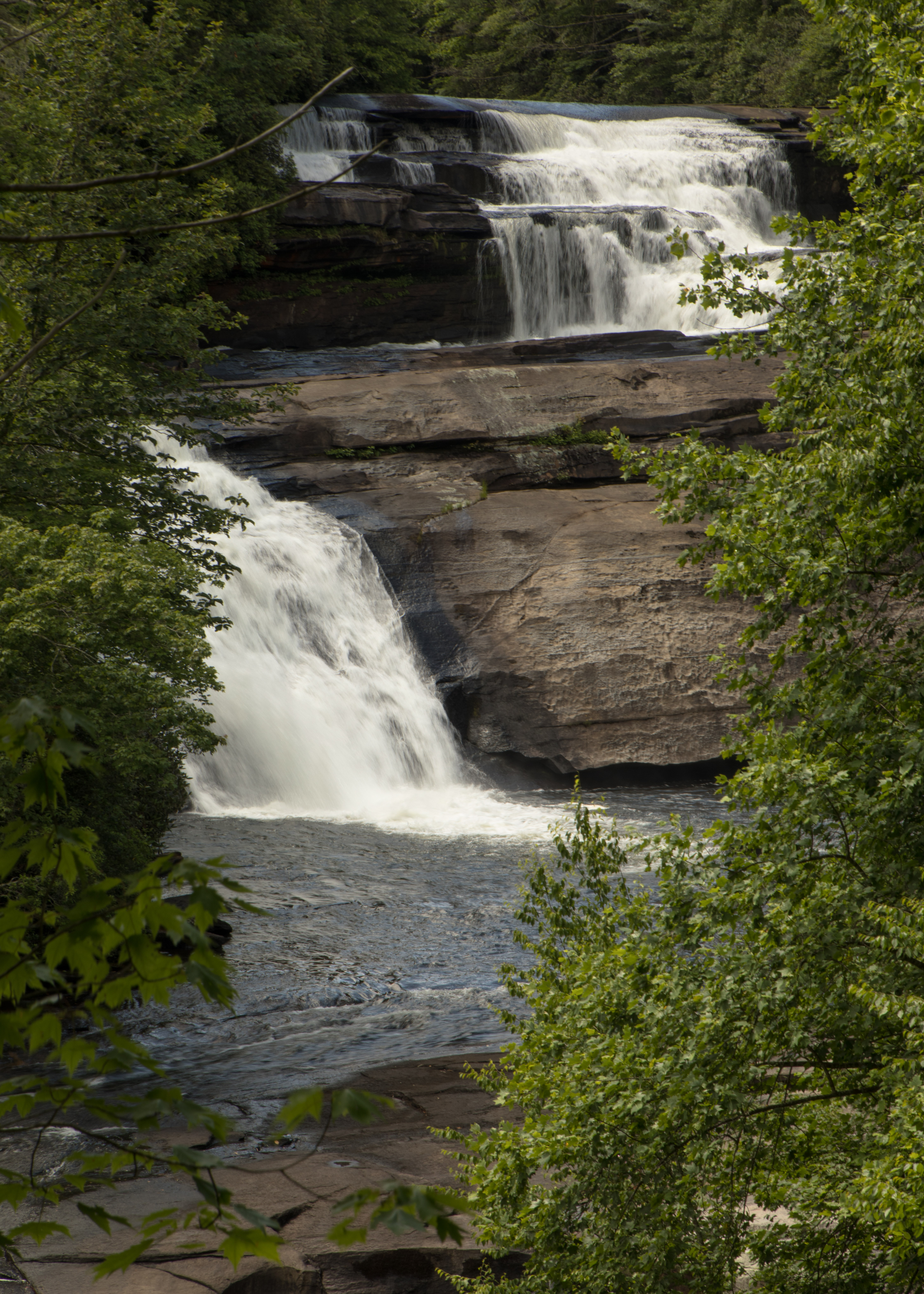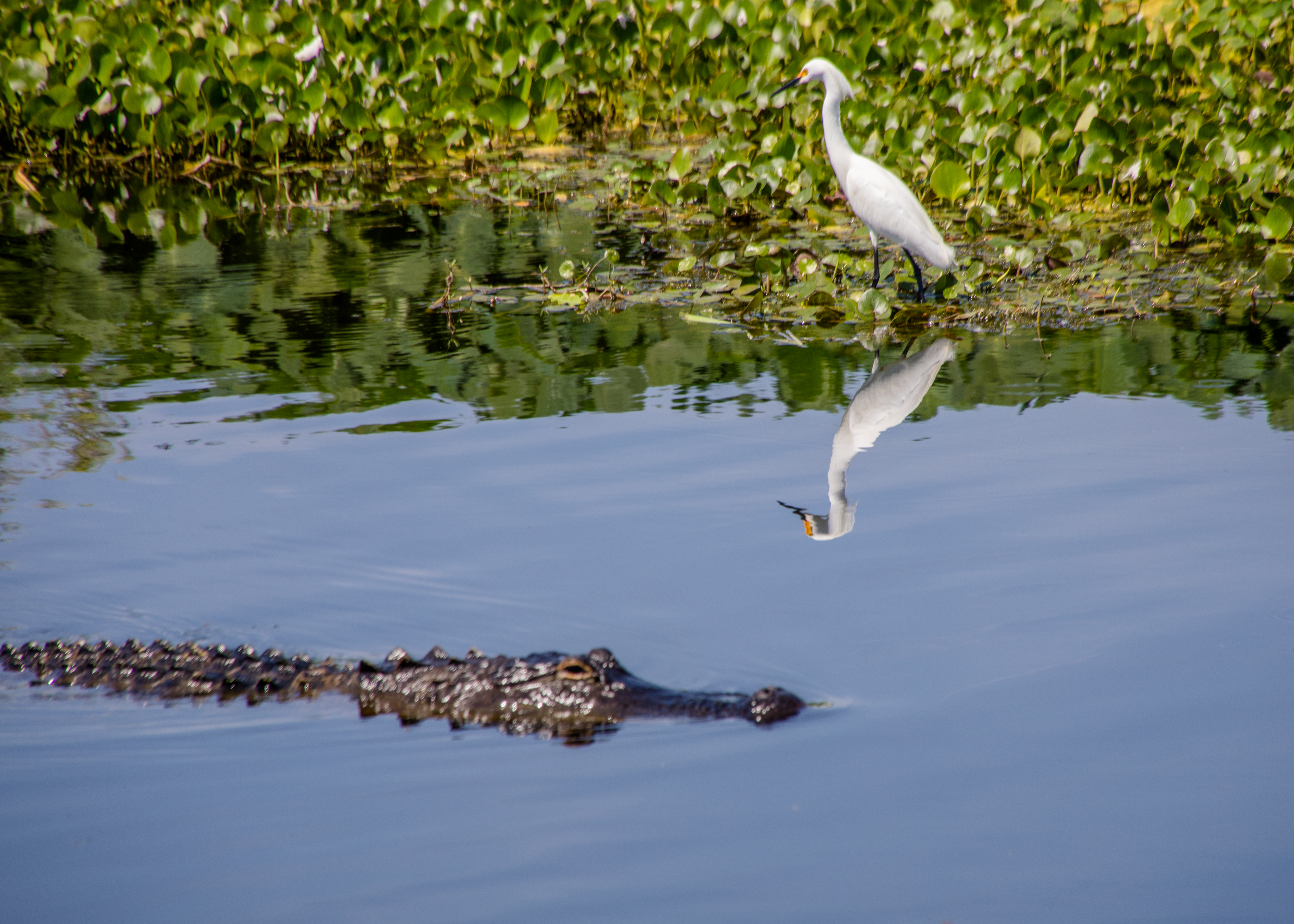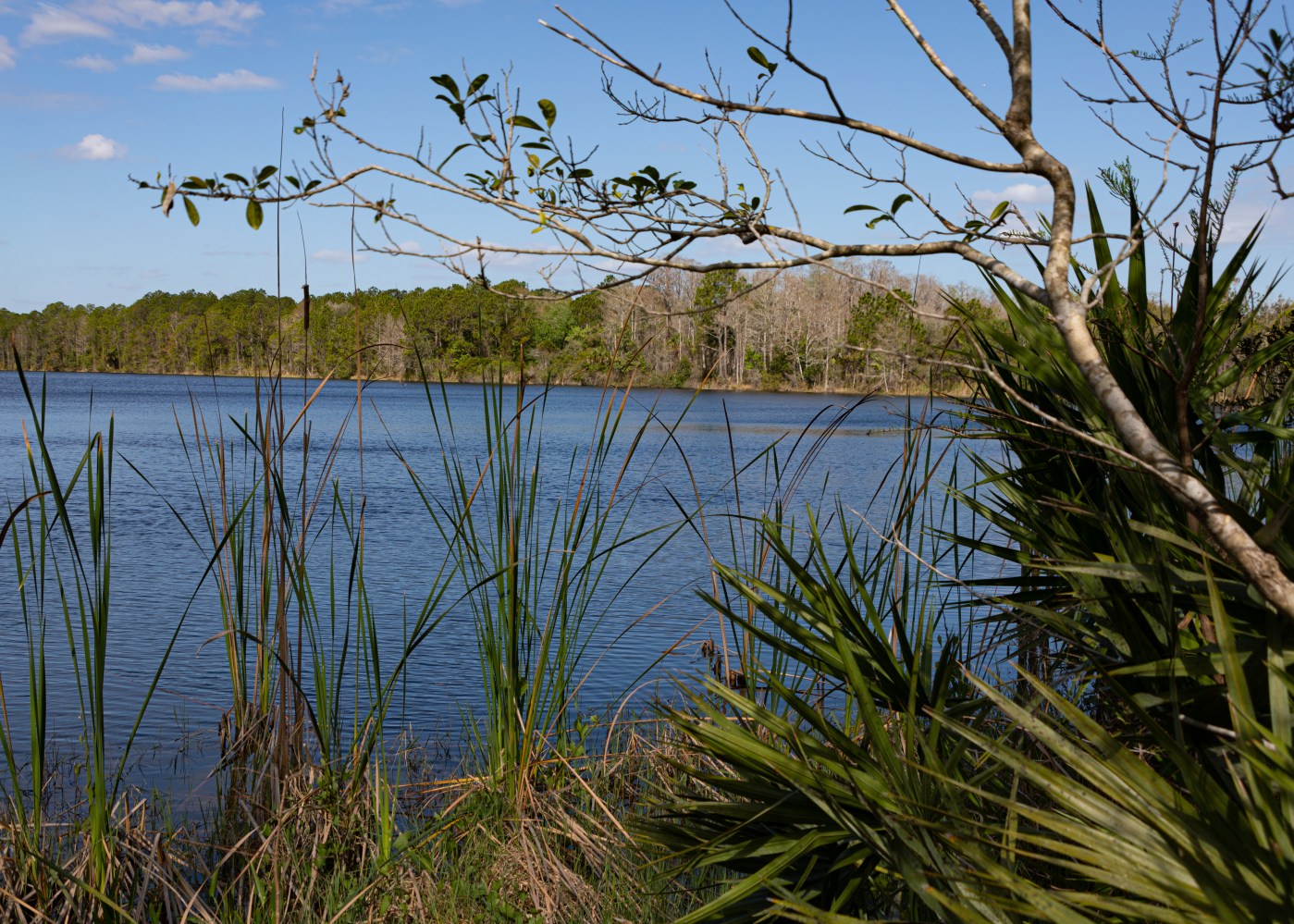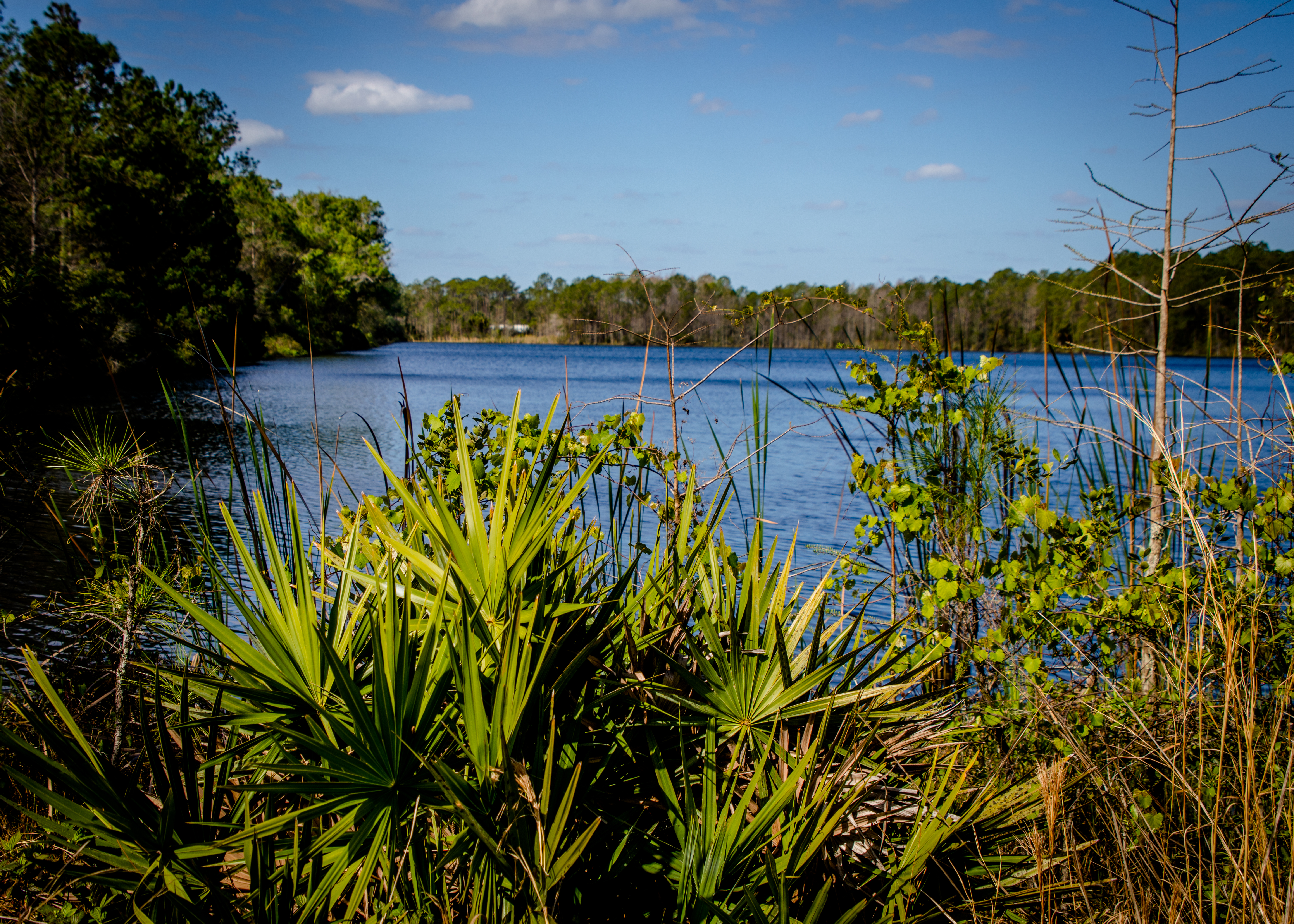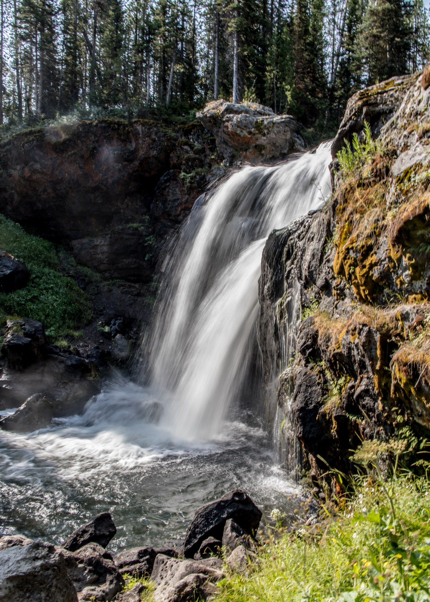
Today we moved on to Yellowstone NP with early morning stops at Moose Falls and Lewis Falls (short hikes to get us going). Then on to our first geysers at West Thumb Geyser Basin – West Thumb Geyser Basin Trail is a 1-mile loop trail located on Yellowstone Lake. West Thumb Geyser Basin is one of the smallest geyser basins in Yellowstone yet its location along the shore of Yellowstone Lake ranks it as the most scenic. West Thumb derived its name from the thumb-like projection of Yellowstone Lake. It was also known as Hot Spring Camp. West Thumb has less geyser activity than other basins, but West Thumb, for its size, has it all – hot springs, pools, mud pots, fumaroles and lake shore geysers.
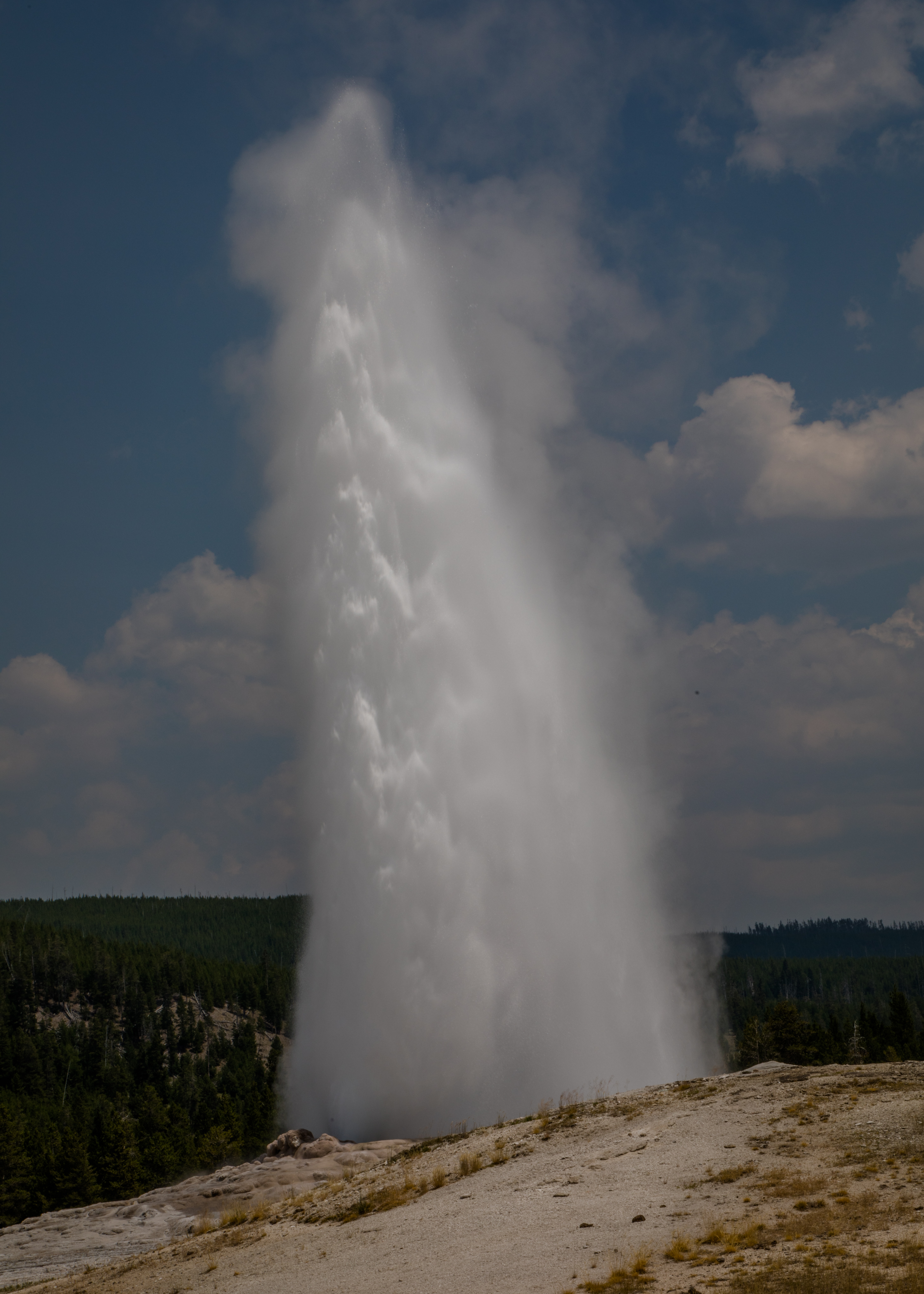
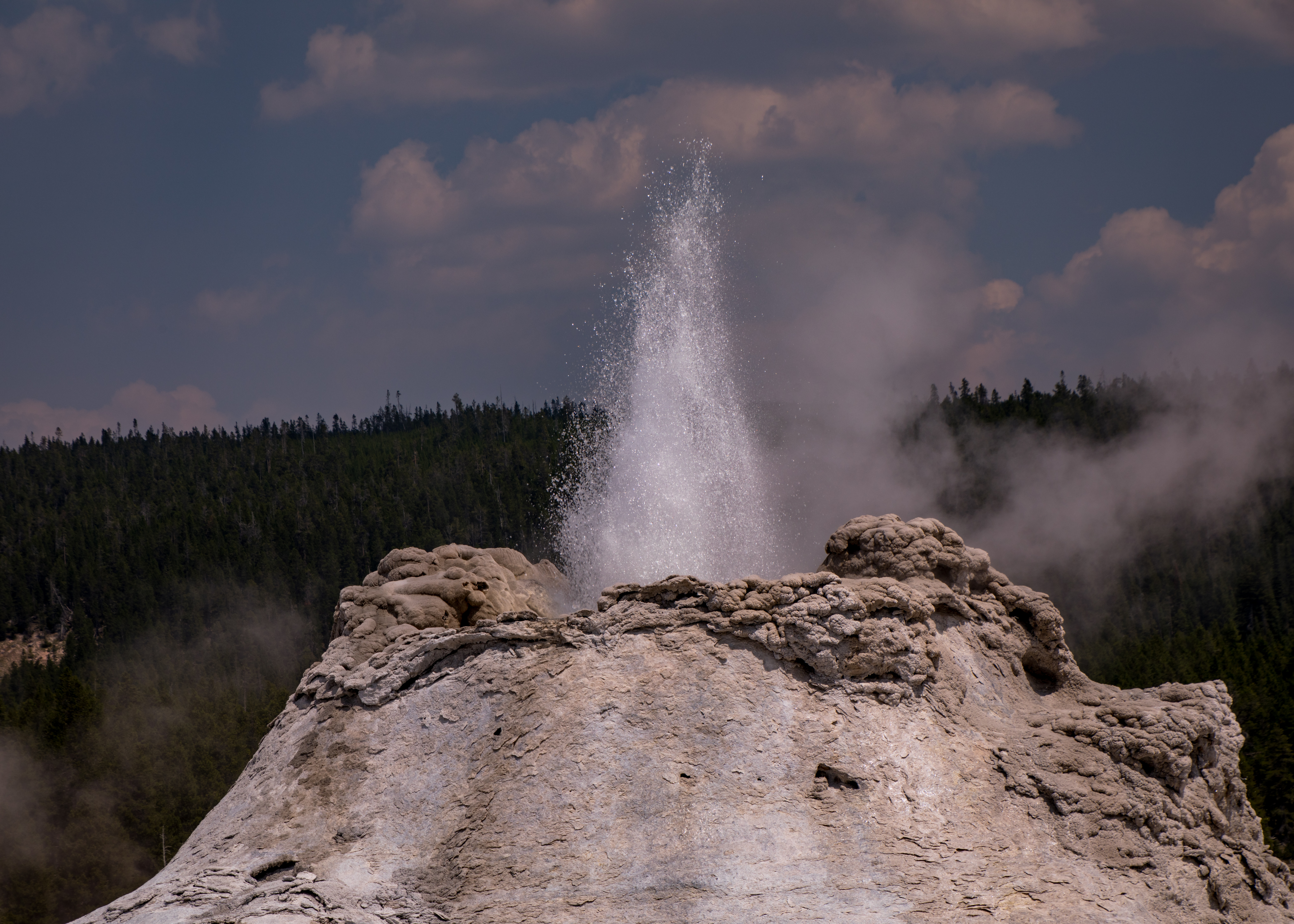
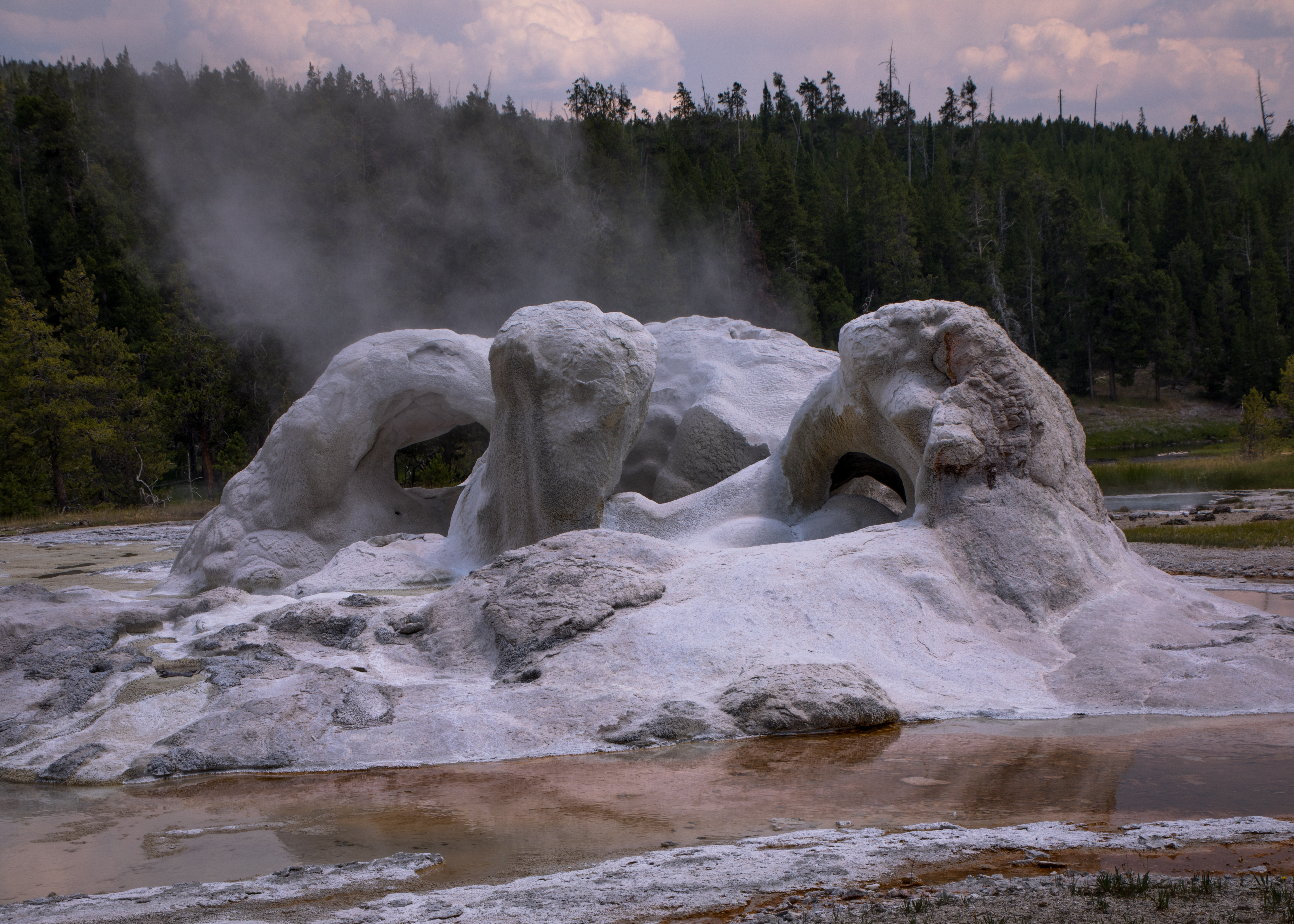
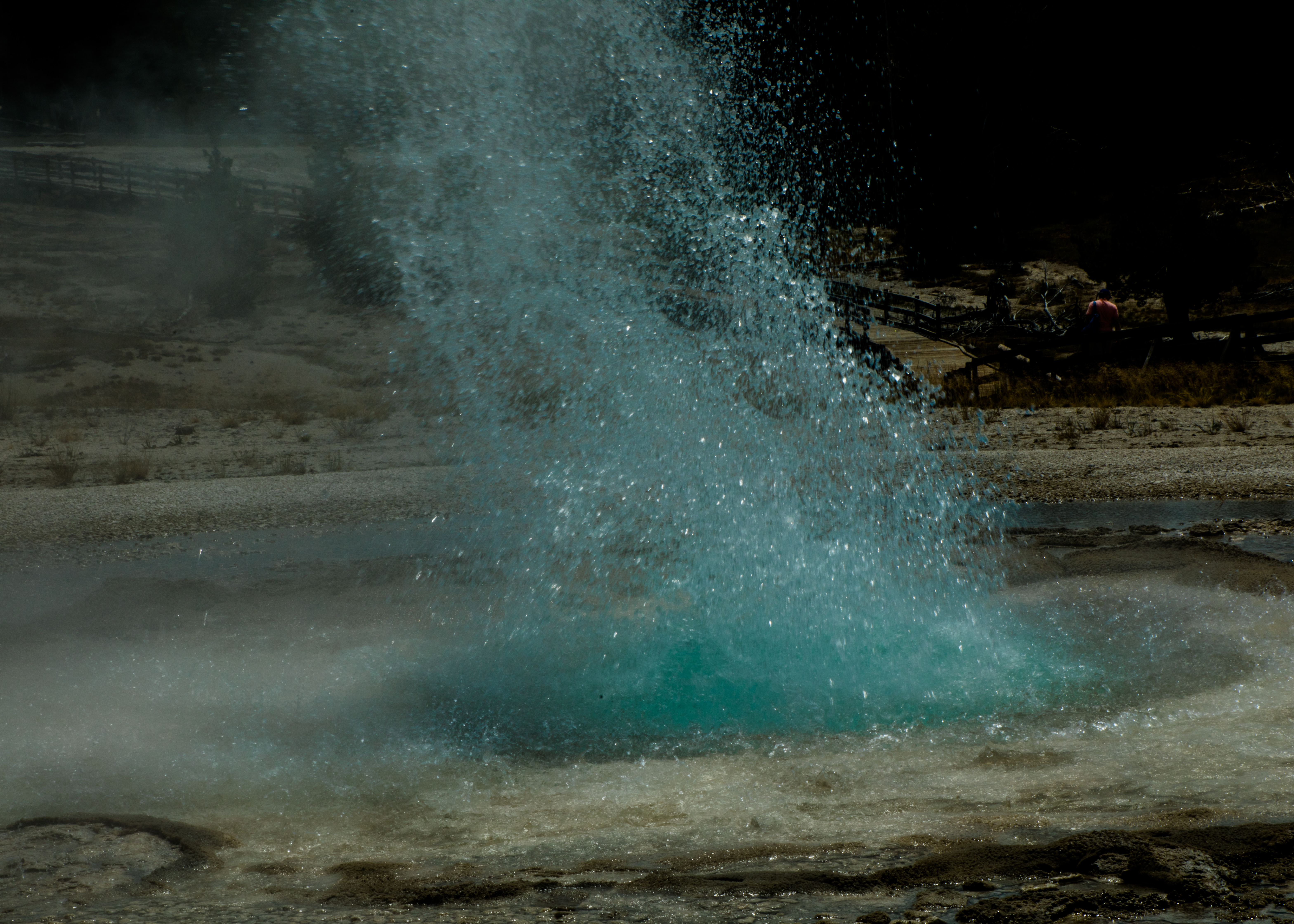
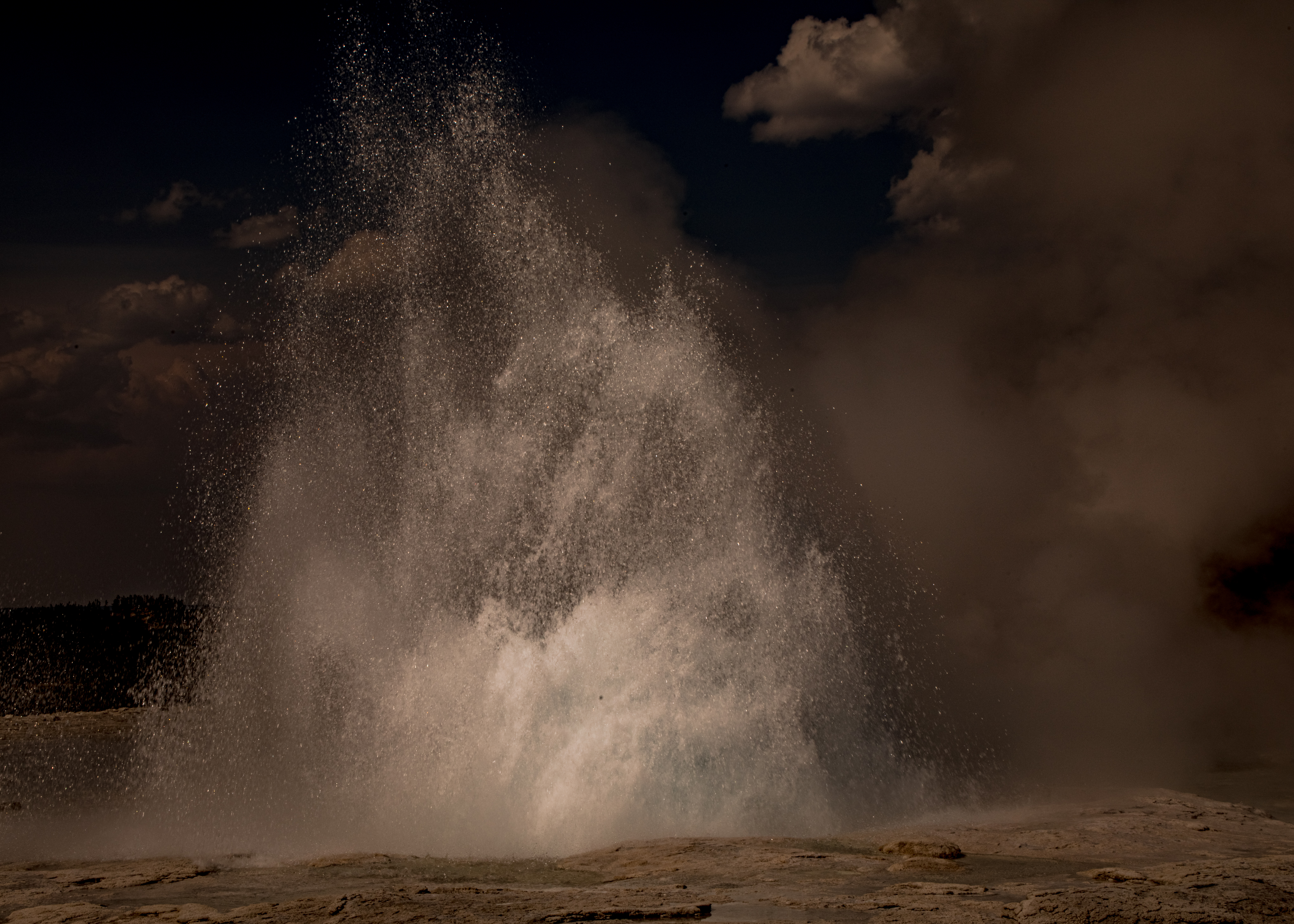
We then headed to the southwest section of the park to “Old Faithful” and the Upper Geyser Basin. Old Faithful can vary in height from 100-180 feet with an average near 130-140 feet. Eruptions normally last between 1.5 to 5 minutes. We arrived with an estimated 20 minutes till the next eruption, so we hiked around the observation loop getting interesting views of the old faithful geyser and the surrounding trail options to view the entire basin. We weren’t disappointed with the eruption, maybe 120 ft and about 4 minutes. We decided to do the full basin loop including Geyser Hill (about 5 miles). The basin has about 130 named geysers but a total of over 500.
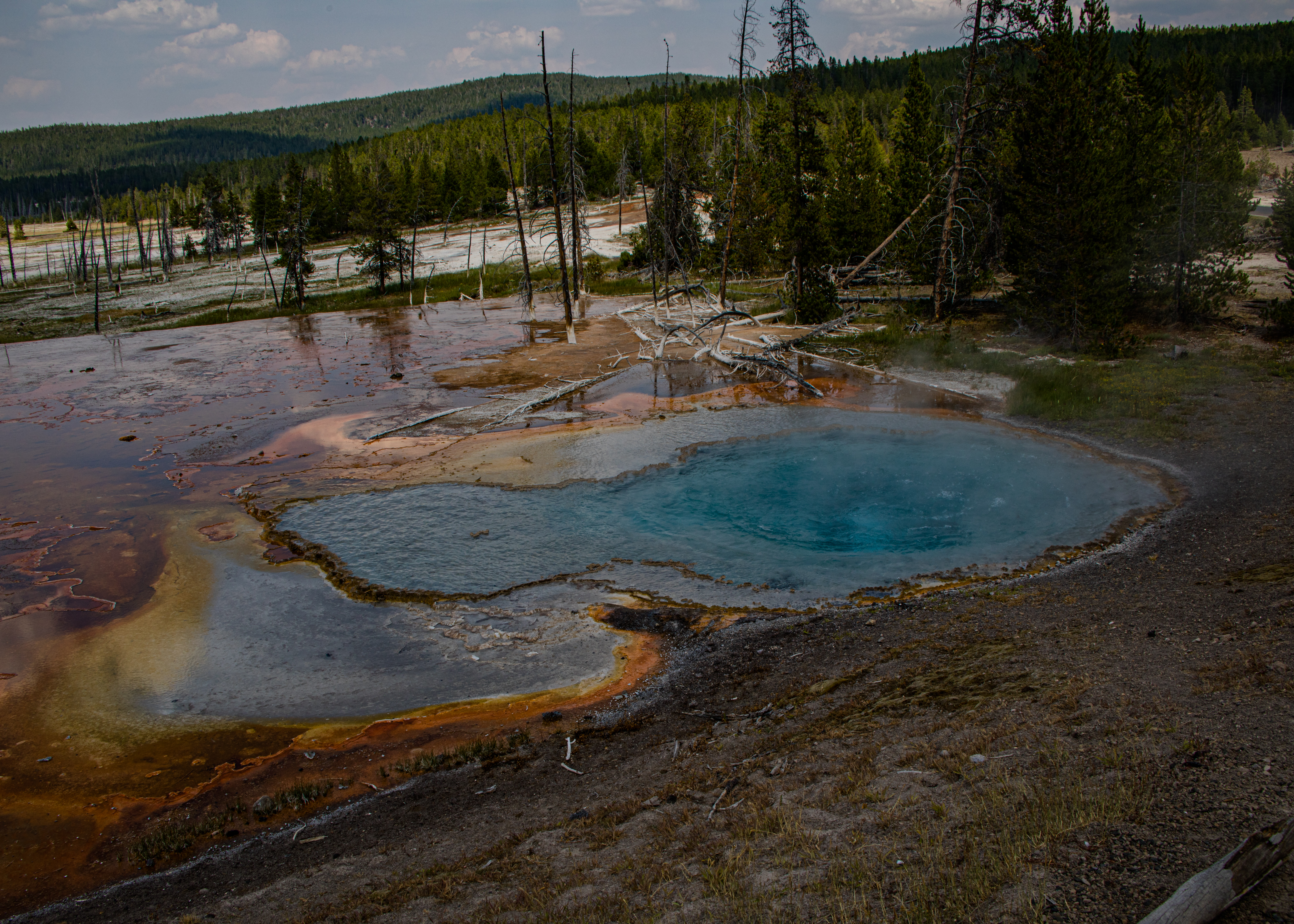
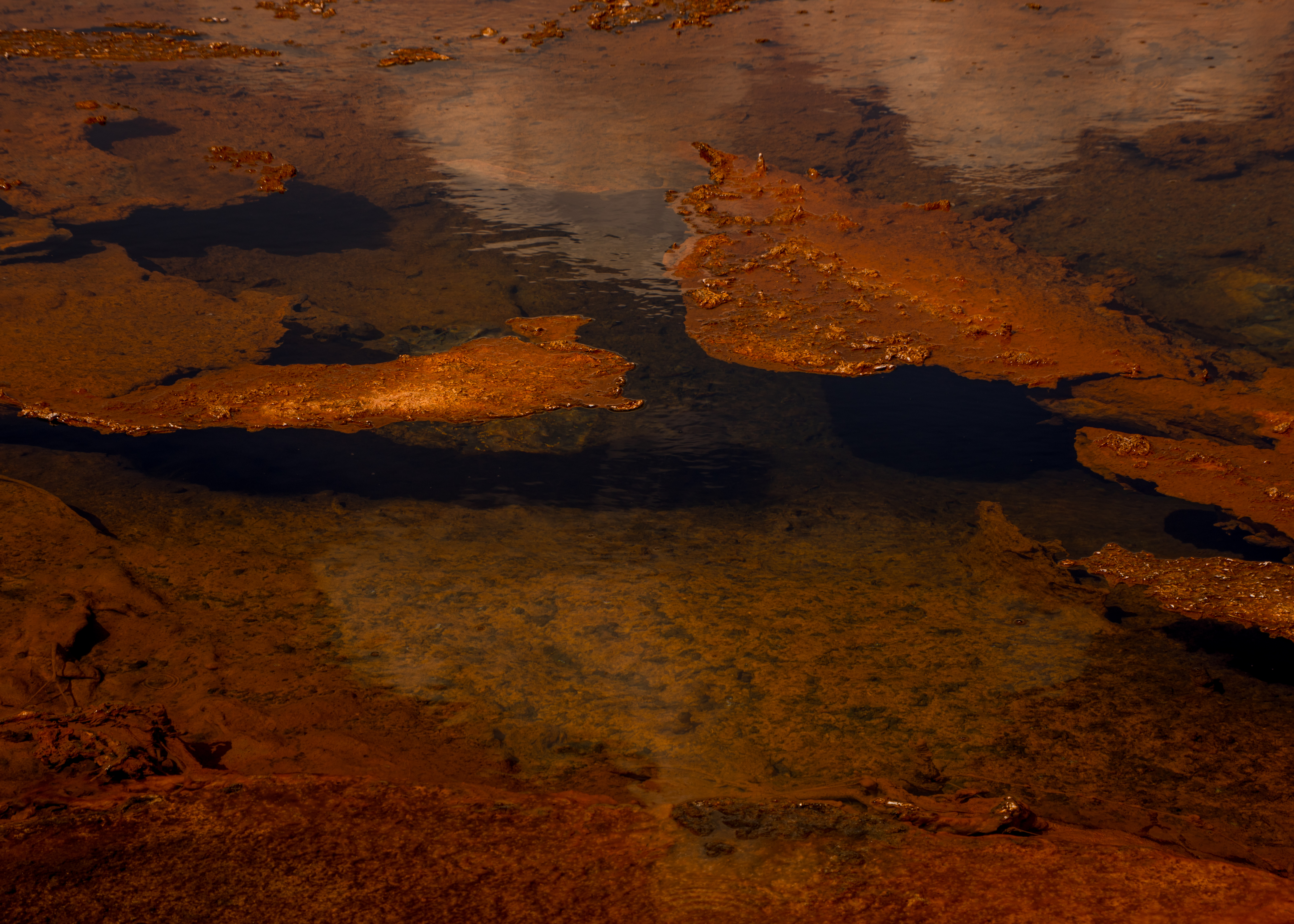
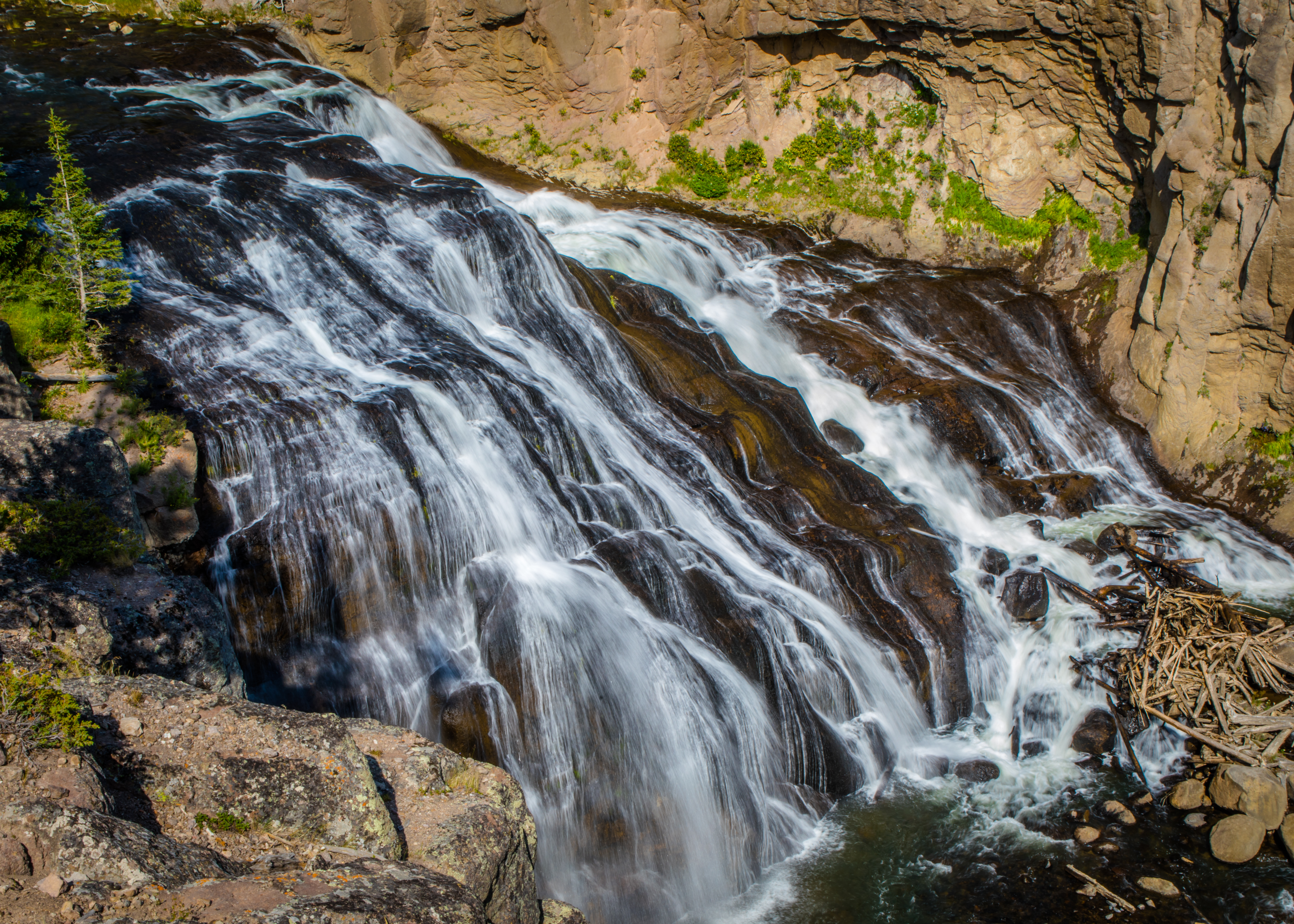
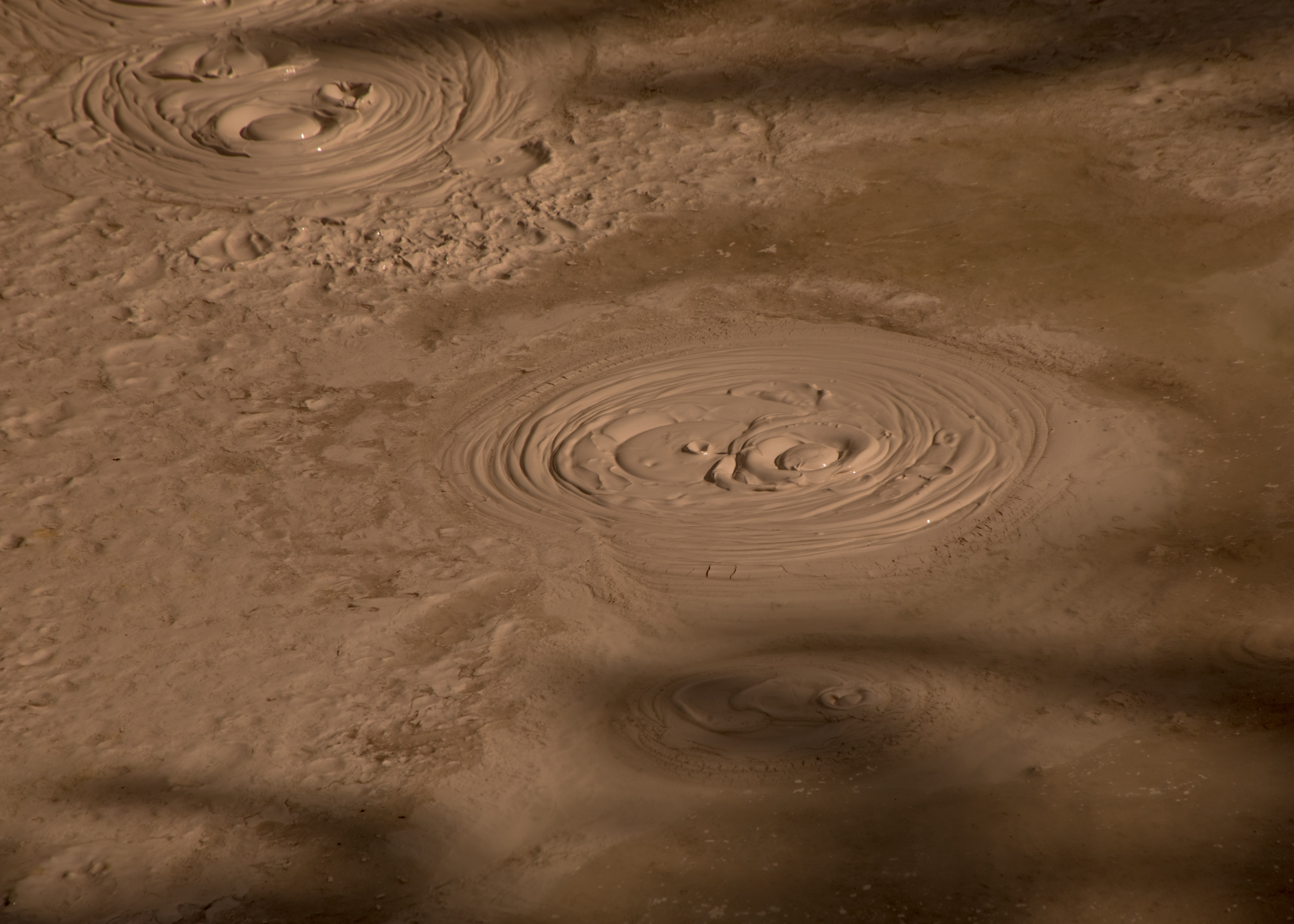
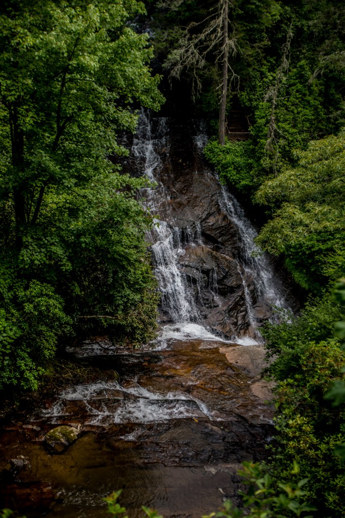
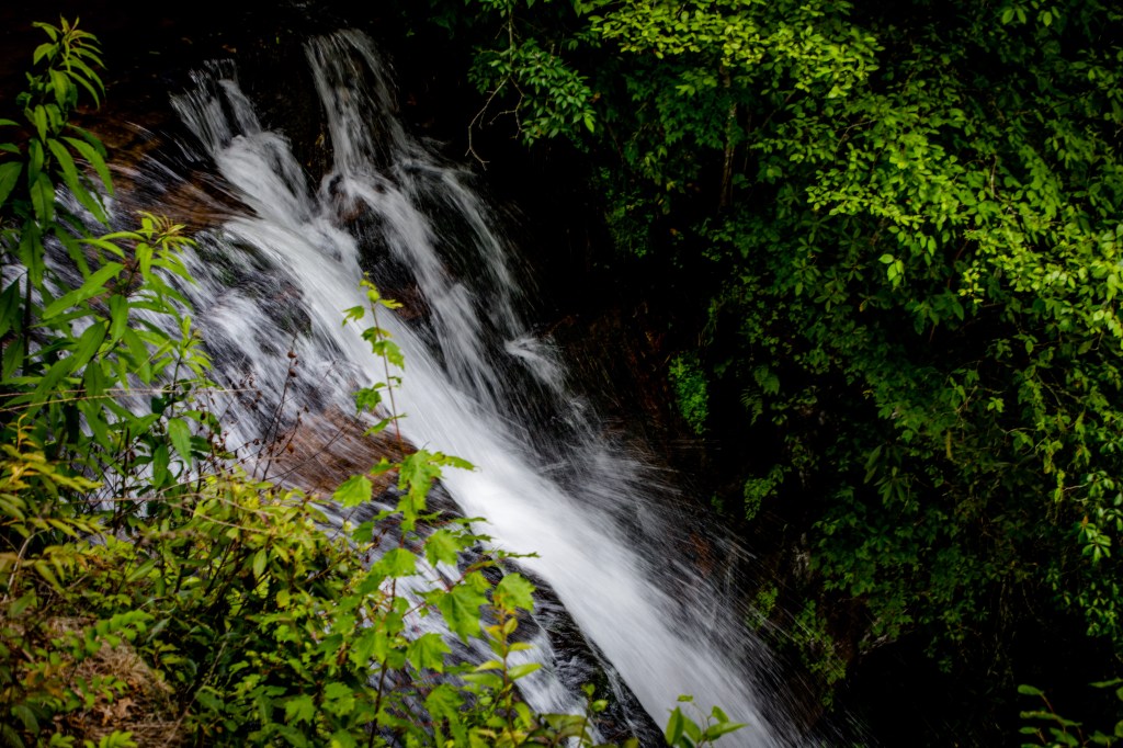
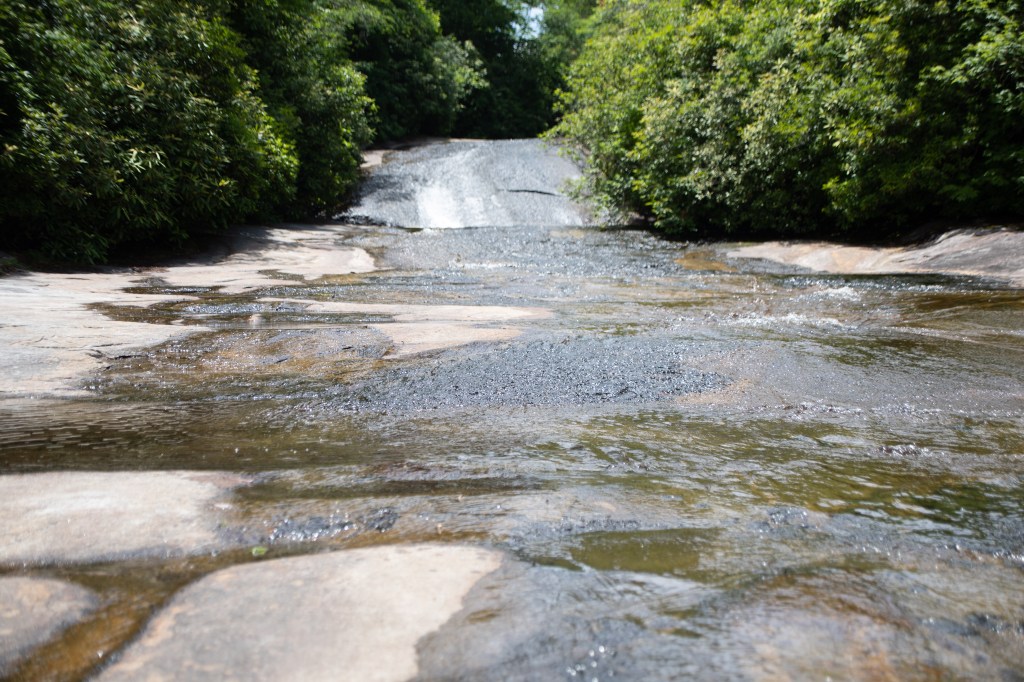
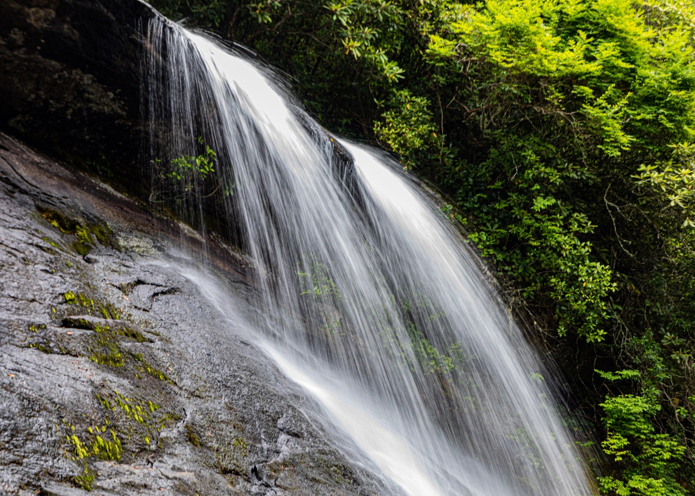
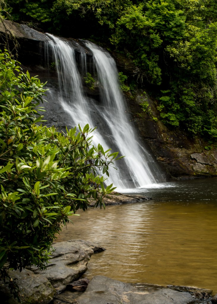
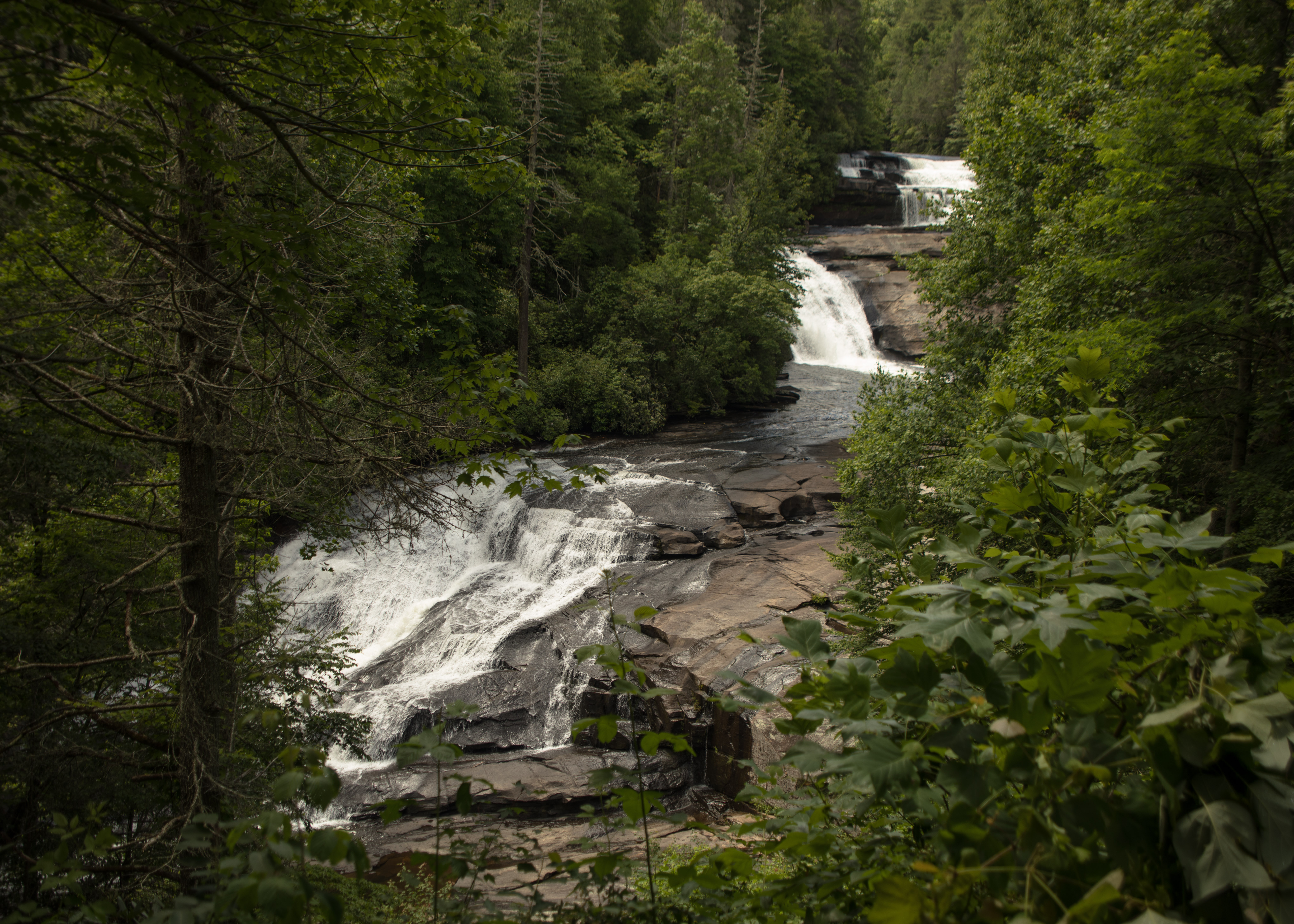
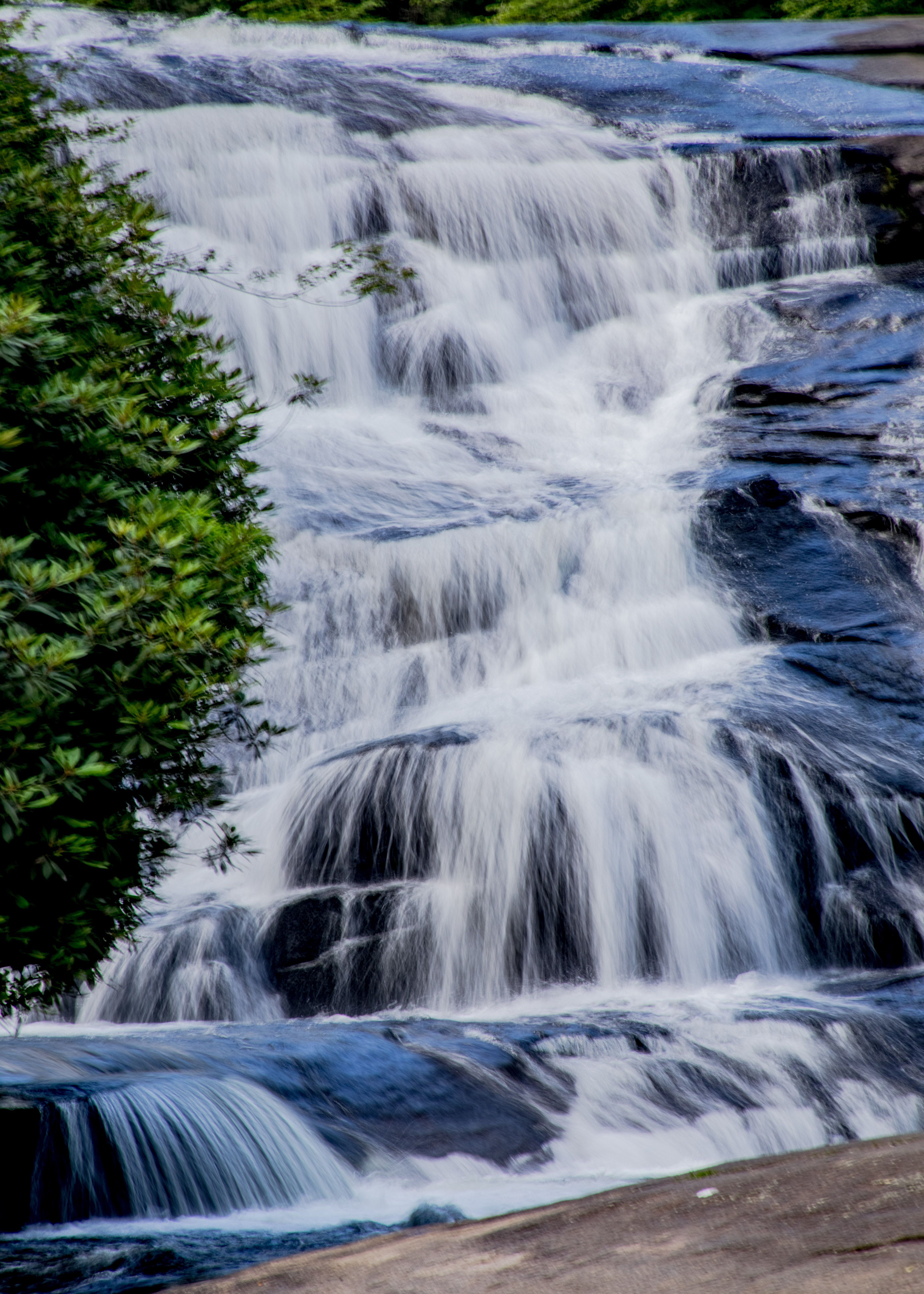
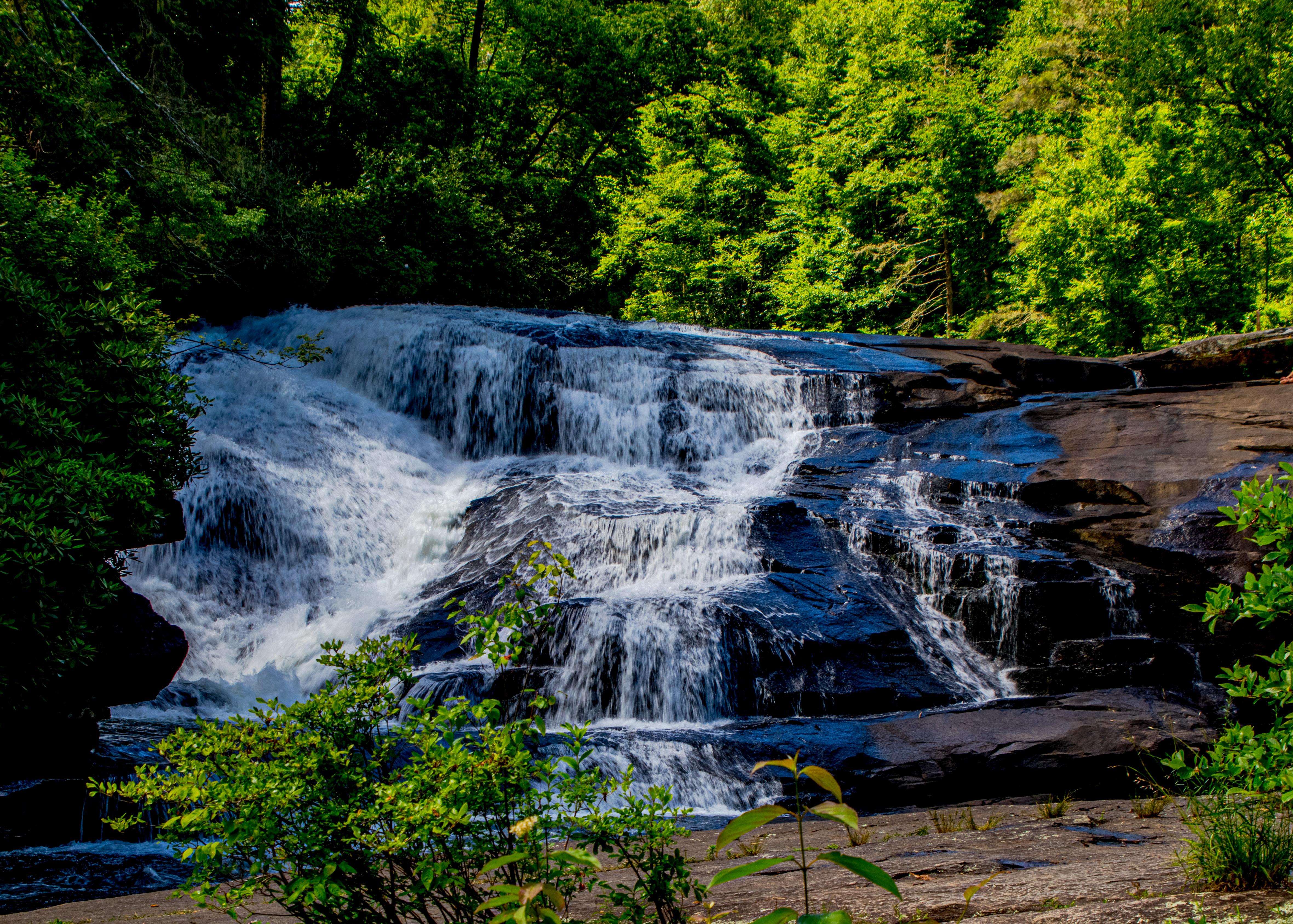
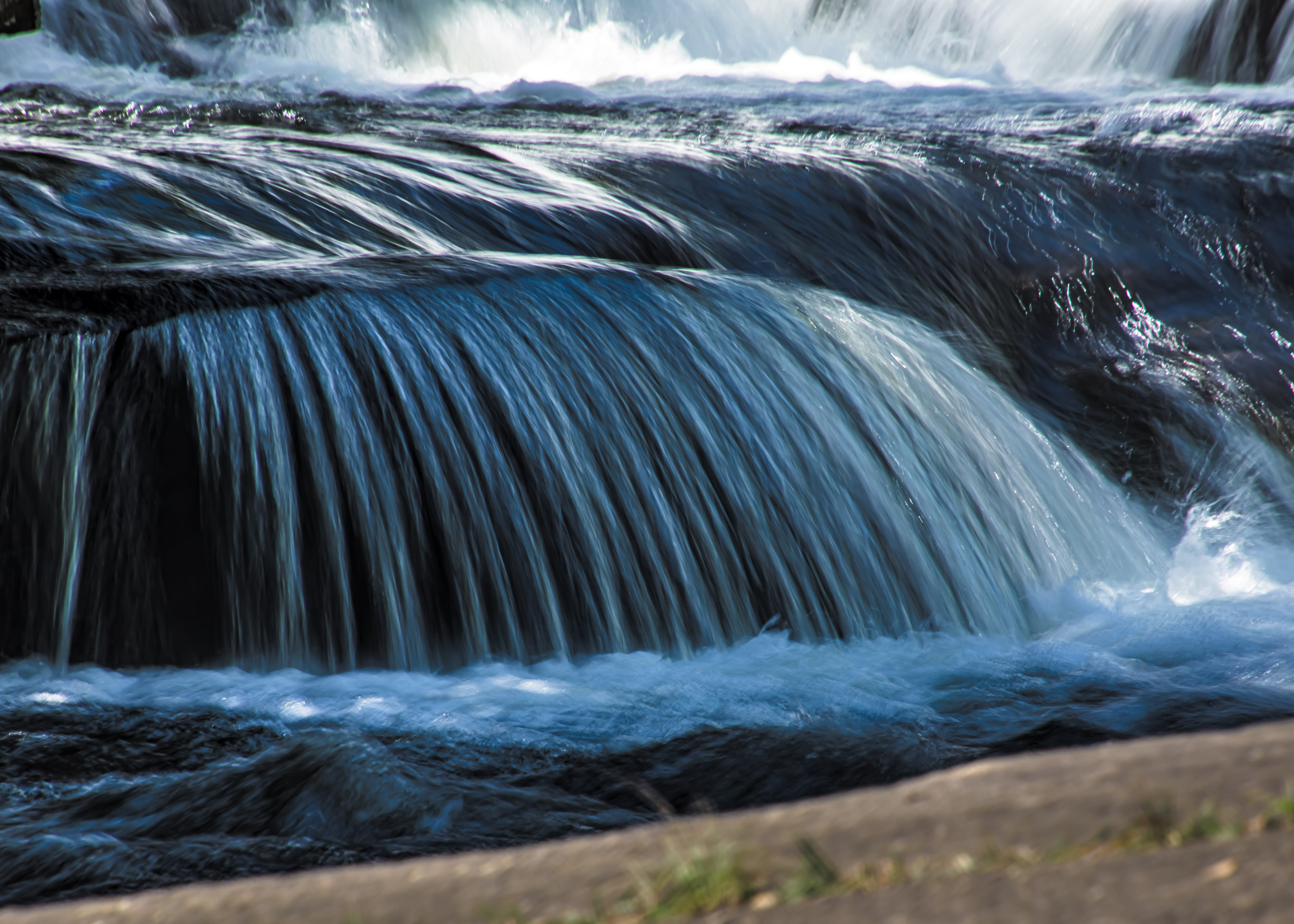
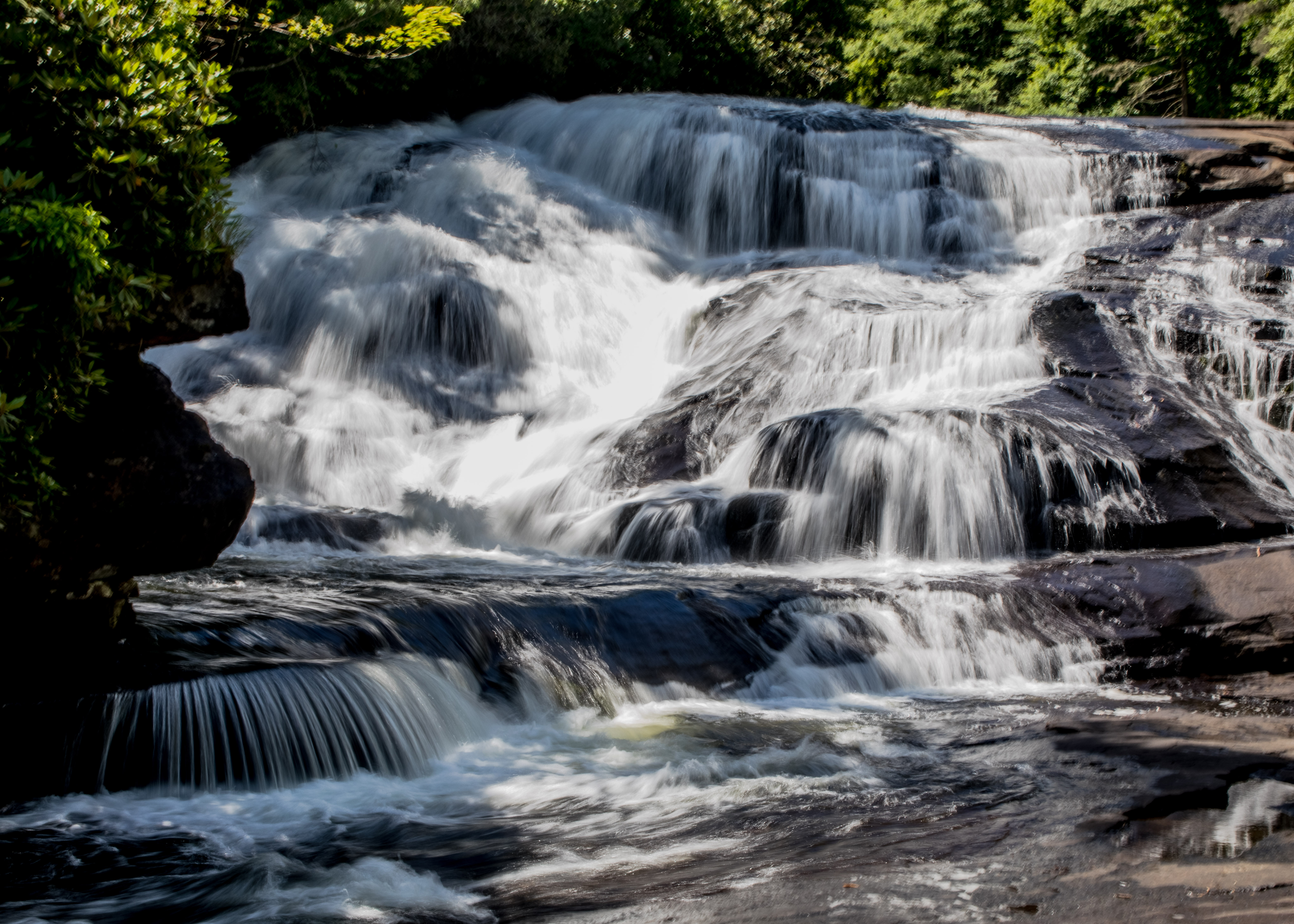
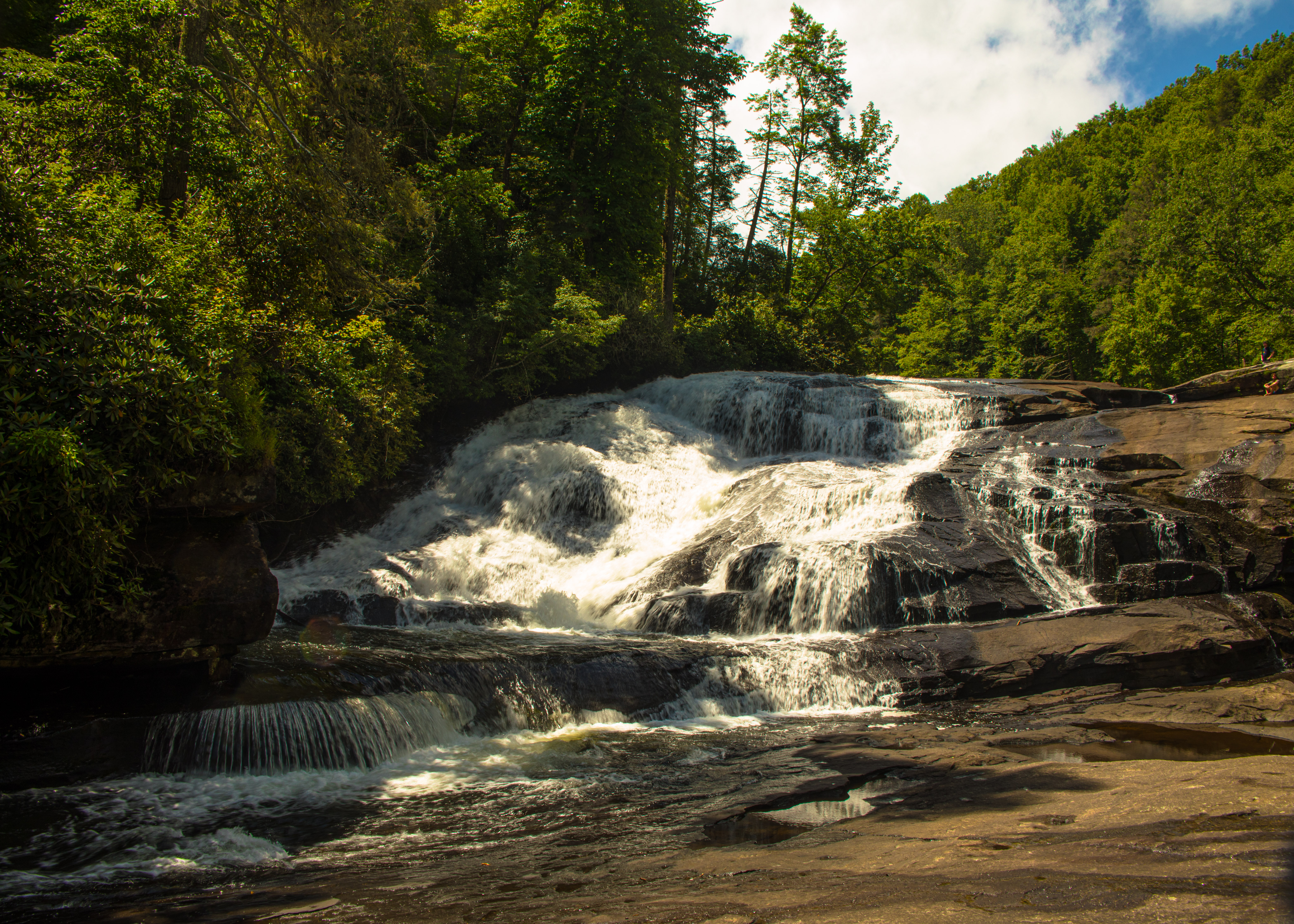
Completing our day we drove to see the Lower Geyser Basin, walked the Fountain Paint Pots trail, viewed Gibbons Falls, walked the Artist Paint Pot trail – very full day – Finally the hour drive to West Yellowstone and our hotel and dinner.