Search

Travelling Photographer

Photos and commentary from my travels around the globe

Author

peterskucmaphotography

Grand Teton and Yellowstone NP – Day 6

Heavy hiking day today — early morning start on the Brink of Lower Falls trail.

The Brink of Lower Falls Trail switchbacks steeply down a mostly forested section of the Grand Canyon to an observation platform perched at the top of the Lower Falls of the Yellowstone. Here the mighty river thunderously plunges 308 feet into the heart of the canyon and hikers are afforded spectacular views down river into the vast, colorful canyon. The trail drops more than 300 feet in 0.4 miles.

South Rim Trail – the Trail runs from Chittenden Bridge to Point Sublime 3.8 miles each way. The trail provides views of the Yellowstone river and it Grand Canyon, Lower and Upper Falls and continuing vista all along the way. One side hike we were considering was Uncle Tom’s Trail which maybe the most unusual hike in the park ( I did it ten years ago – what a workout) It’s not really a trail but a series of mesh steps to a Lower Falls viewpoint a mere 328 steps to the bottom. On second thought I was glad that it was closed.

Grand Teton and Yellowstone NP – Day 5

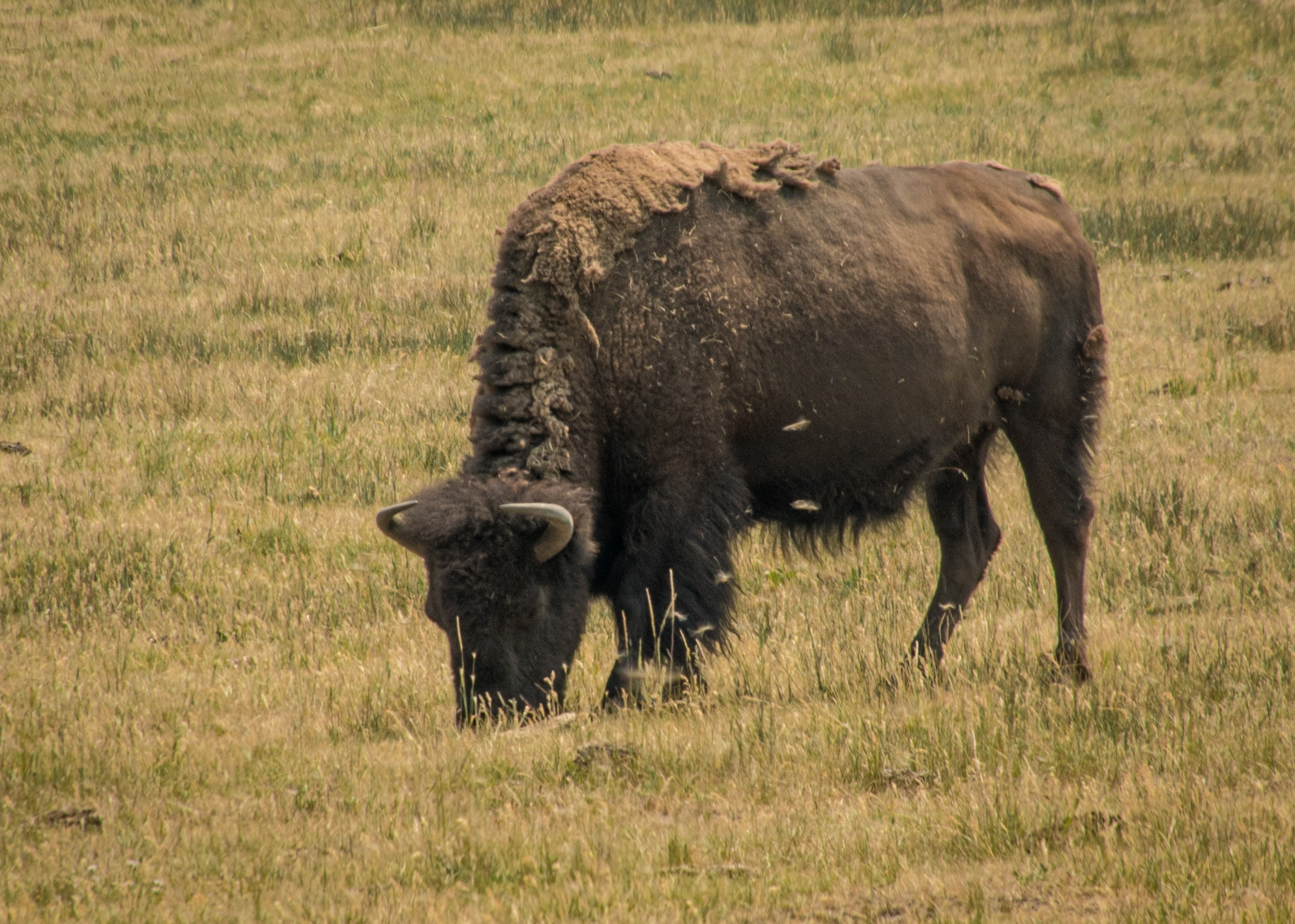
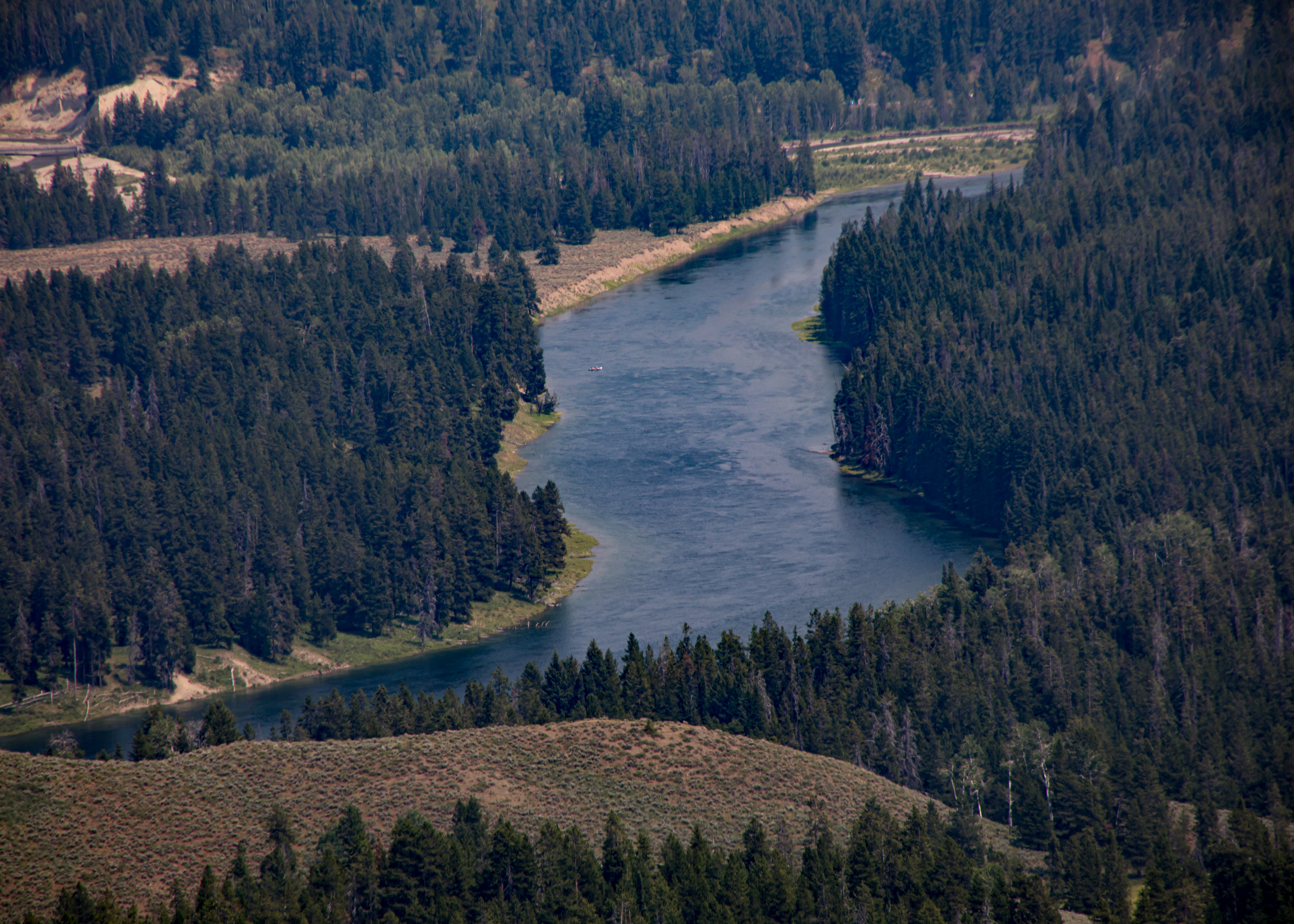
Today we traverse several landscapes of Yellowstone – geysers, natural bridge and the beginnings of our visit to the Grand Canyon of the Yellowstone.

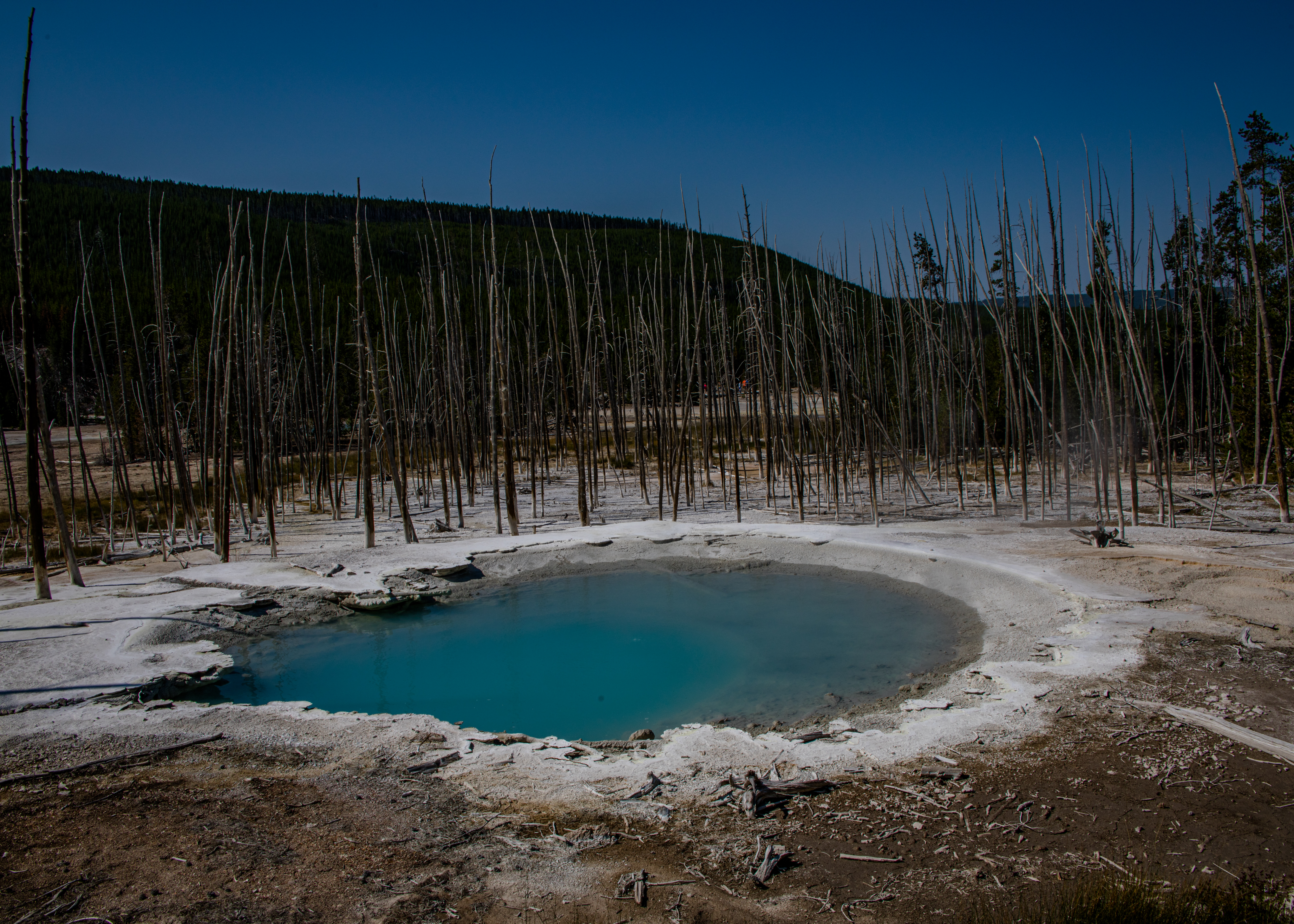
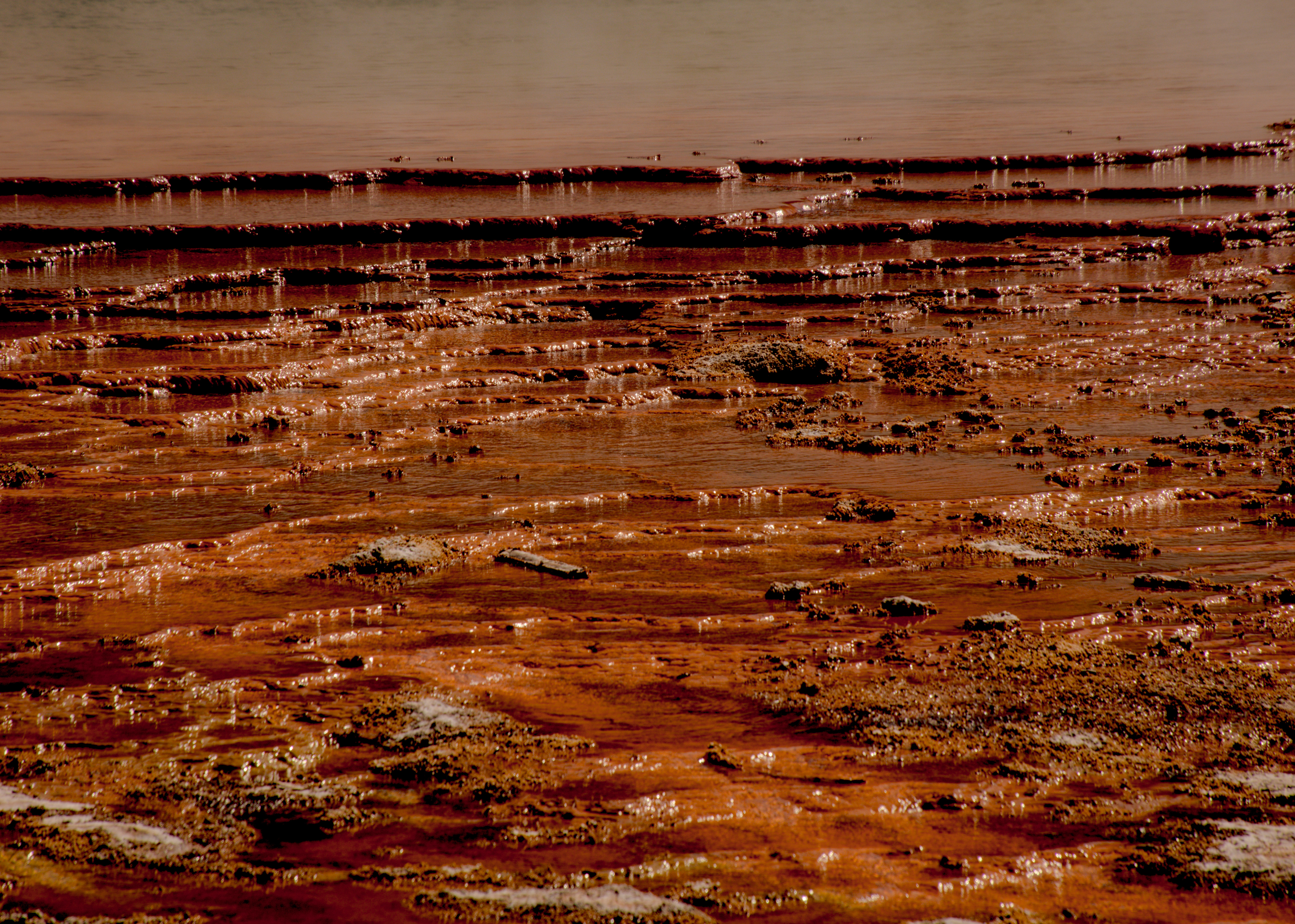
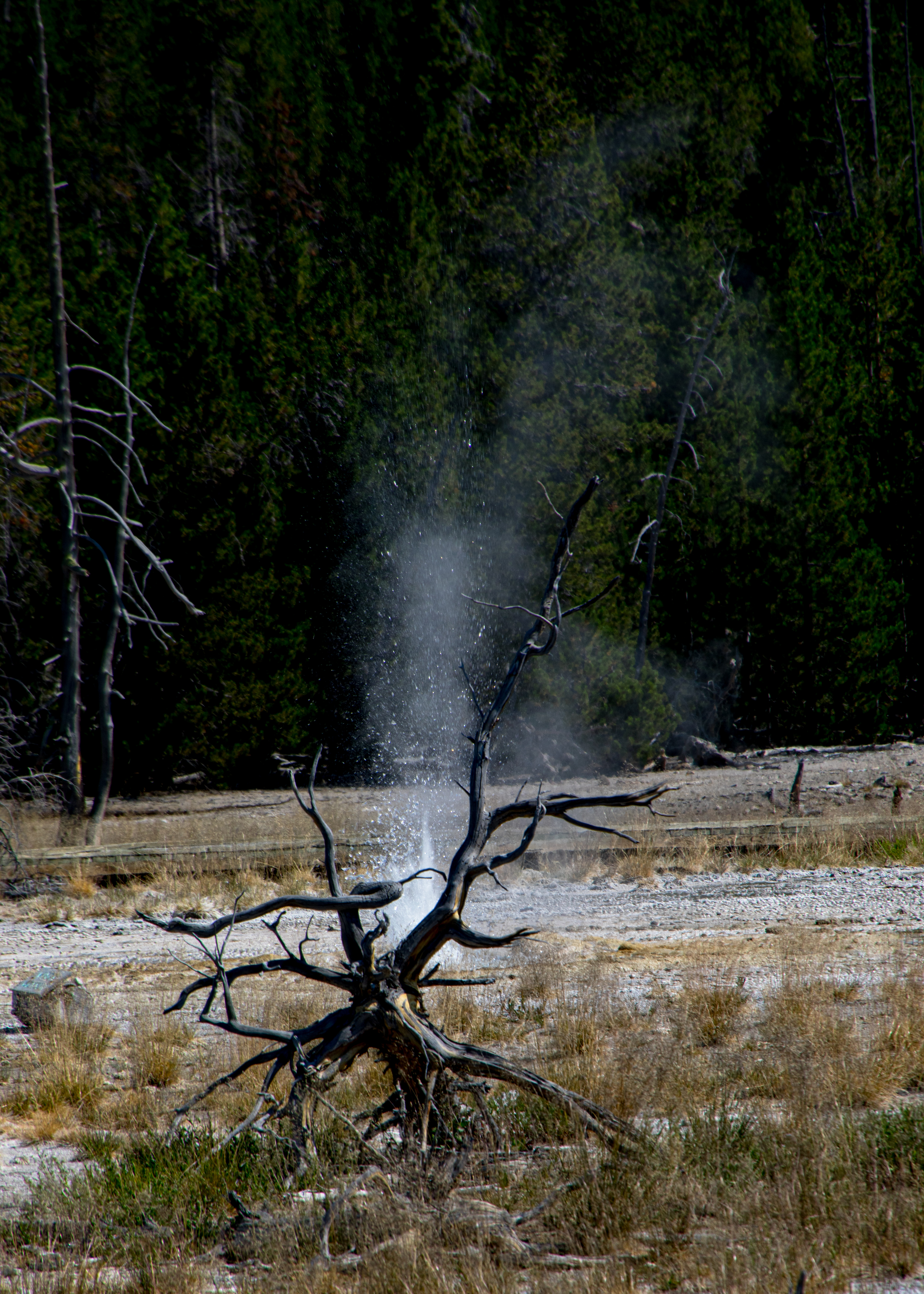
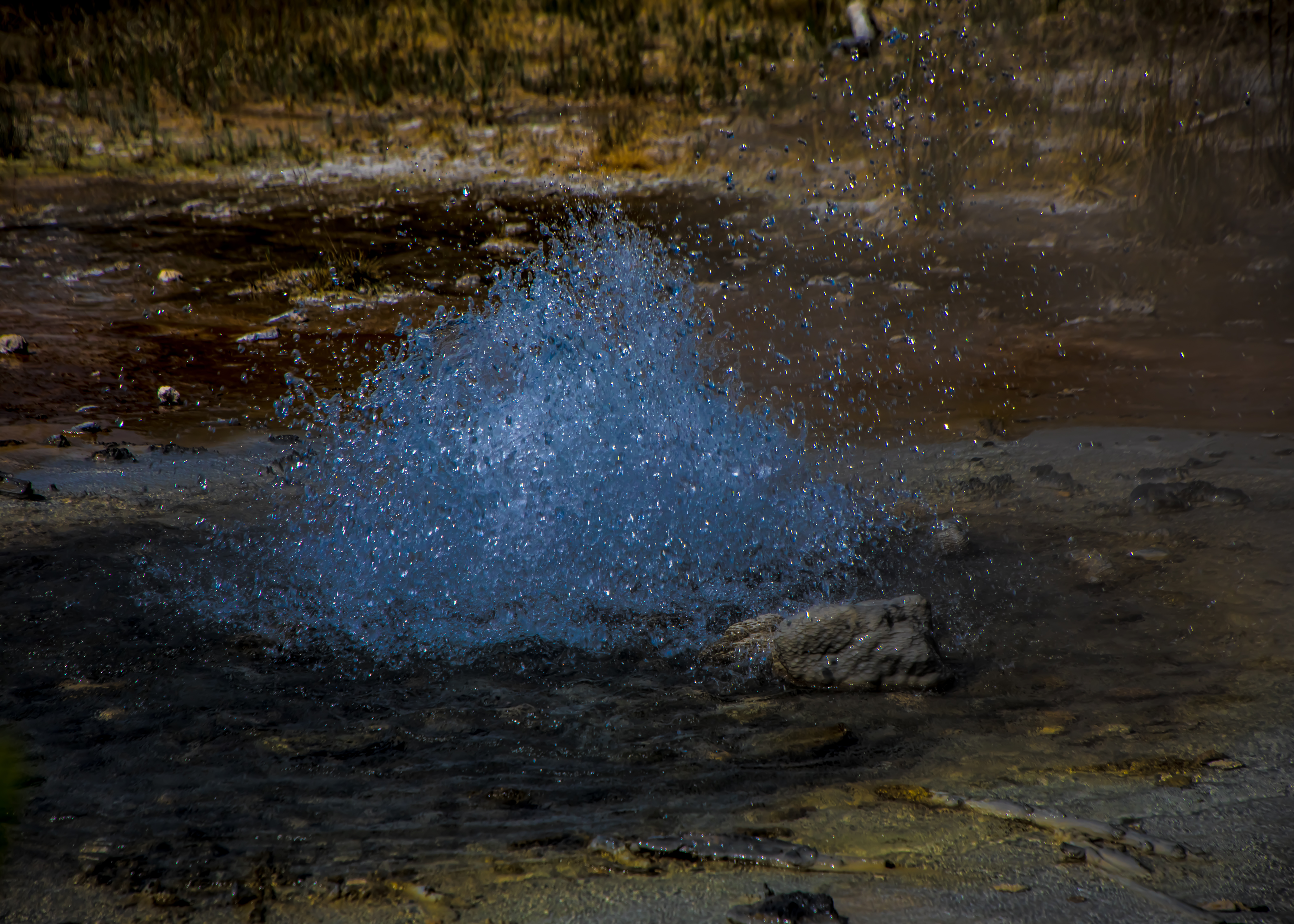
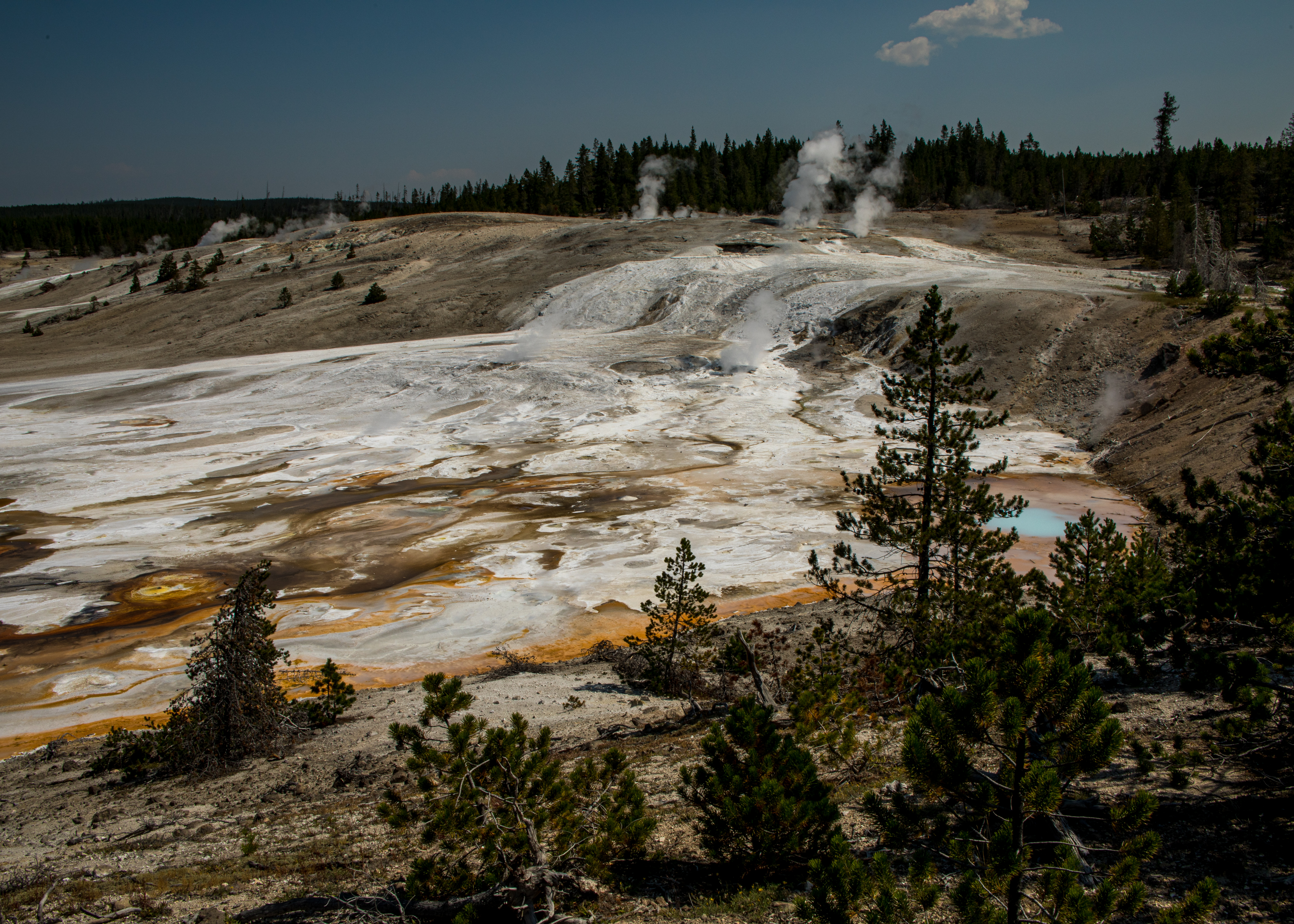
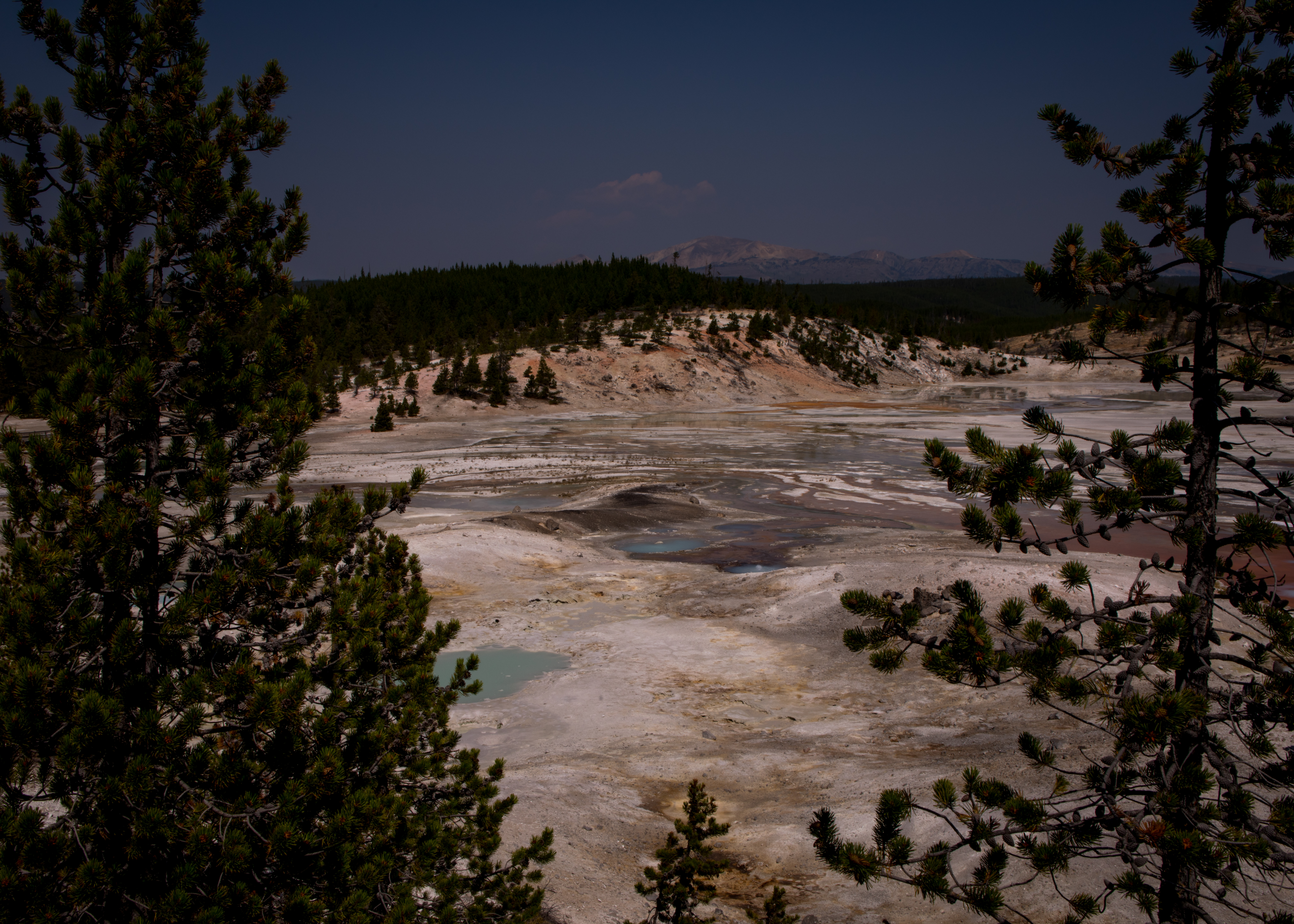
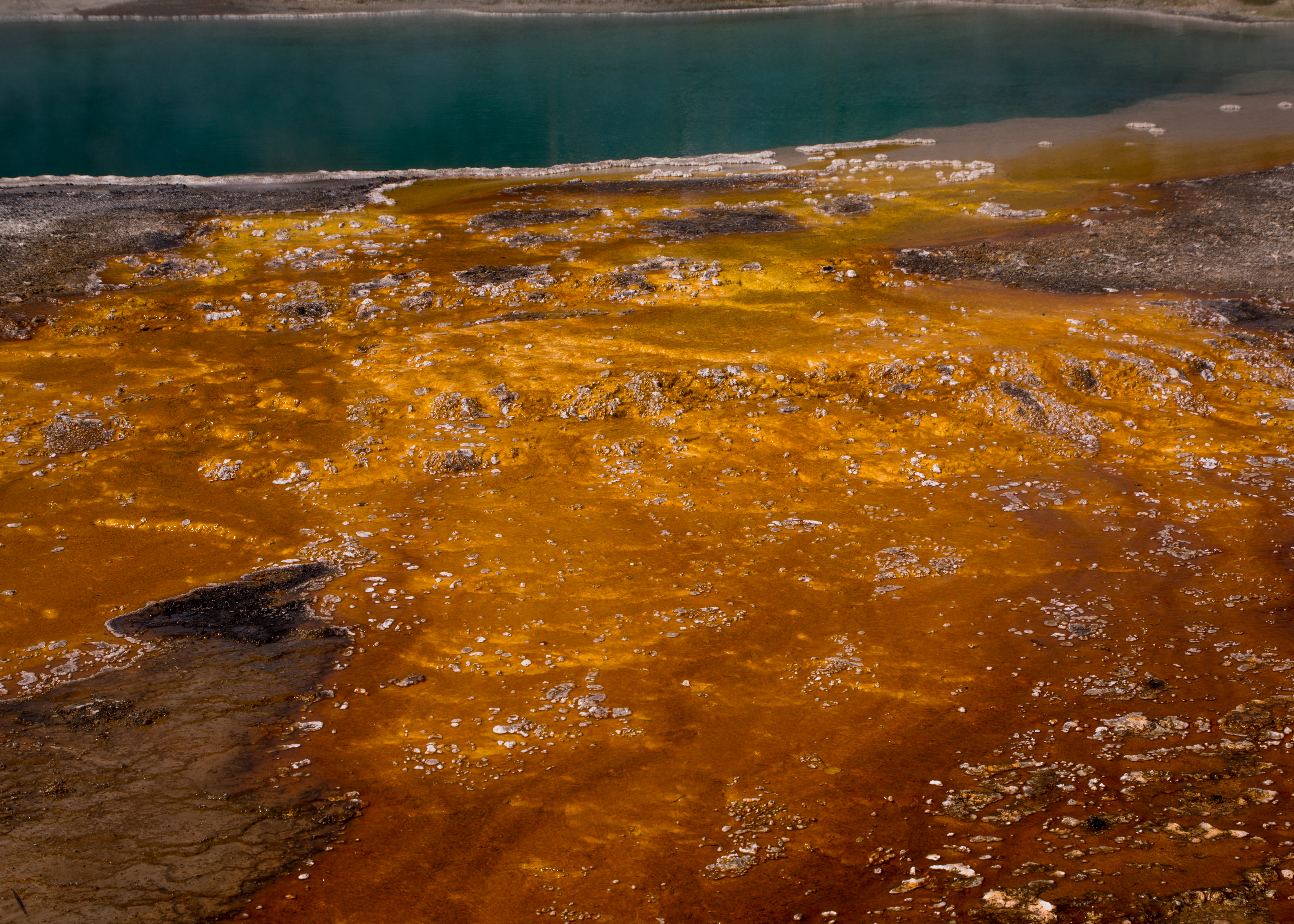
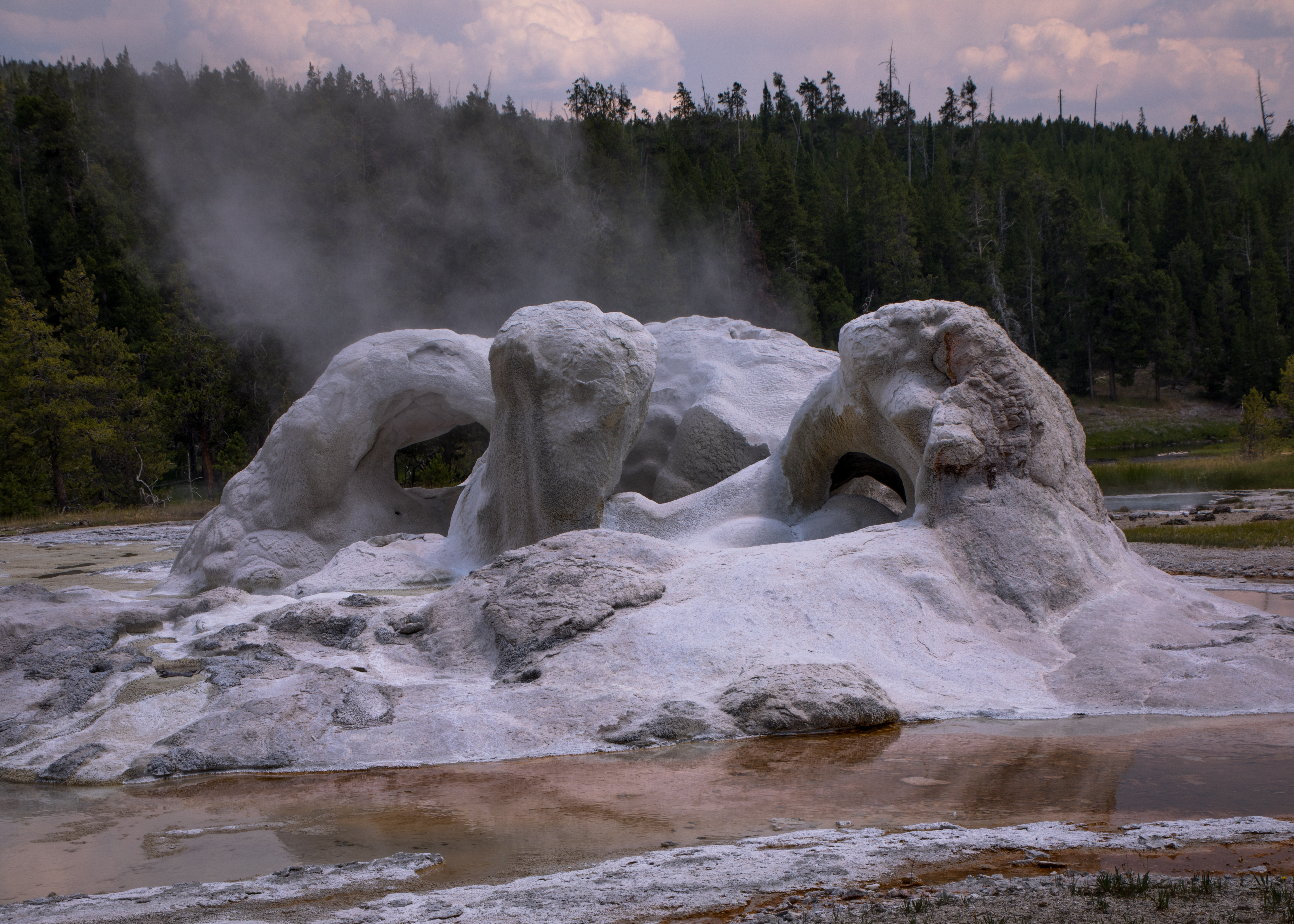
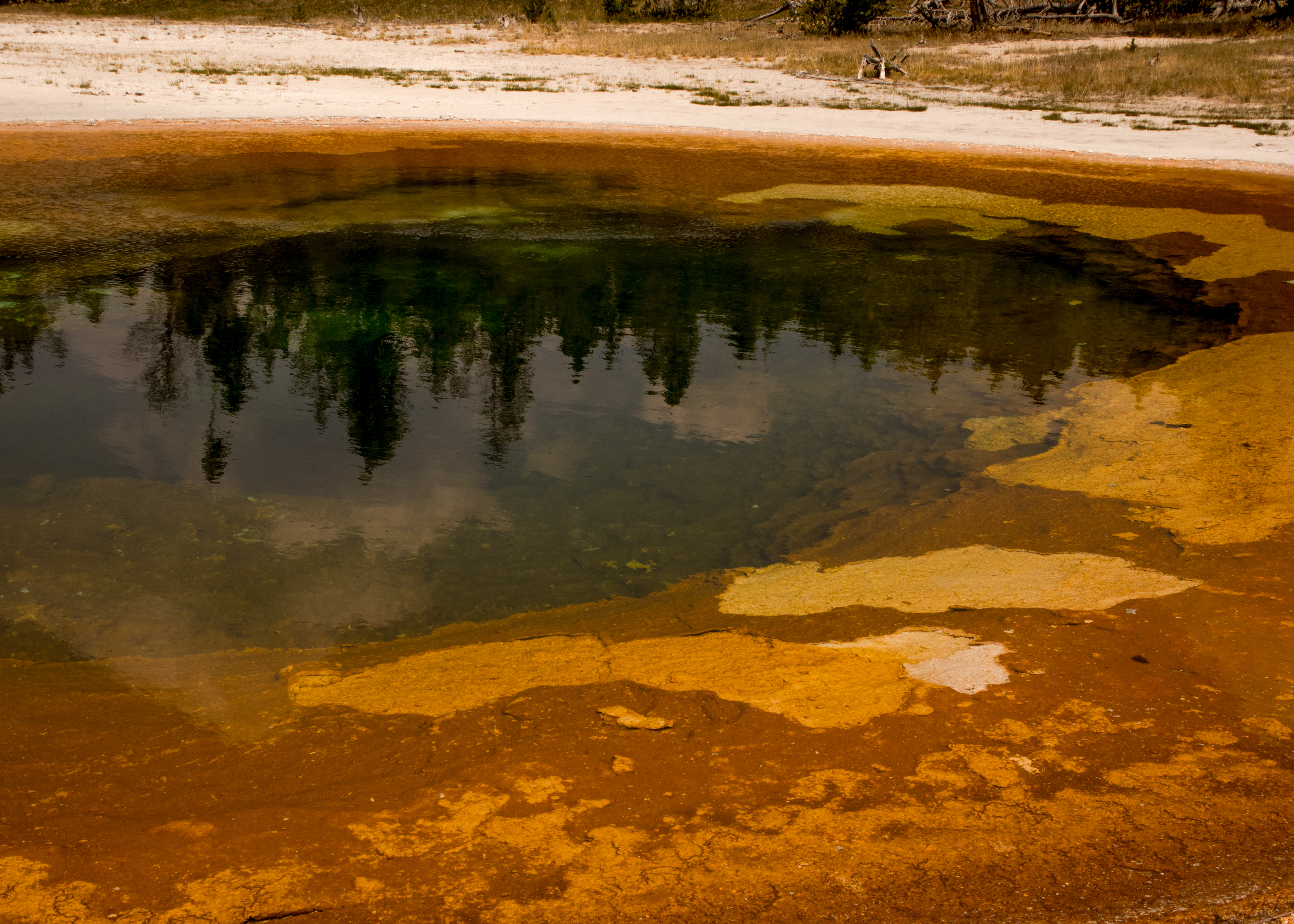
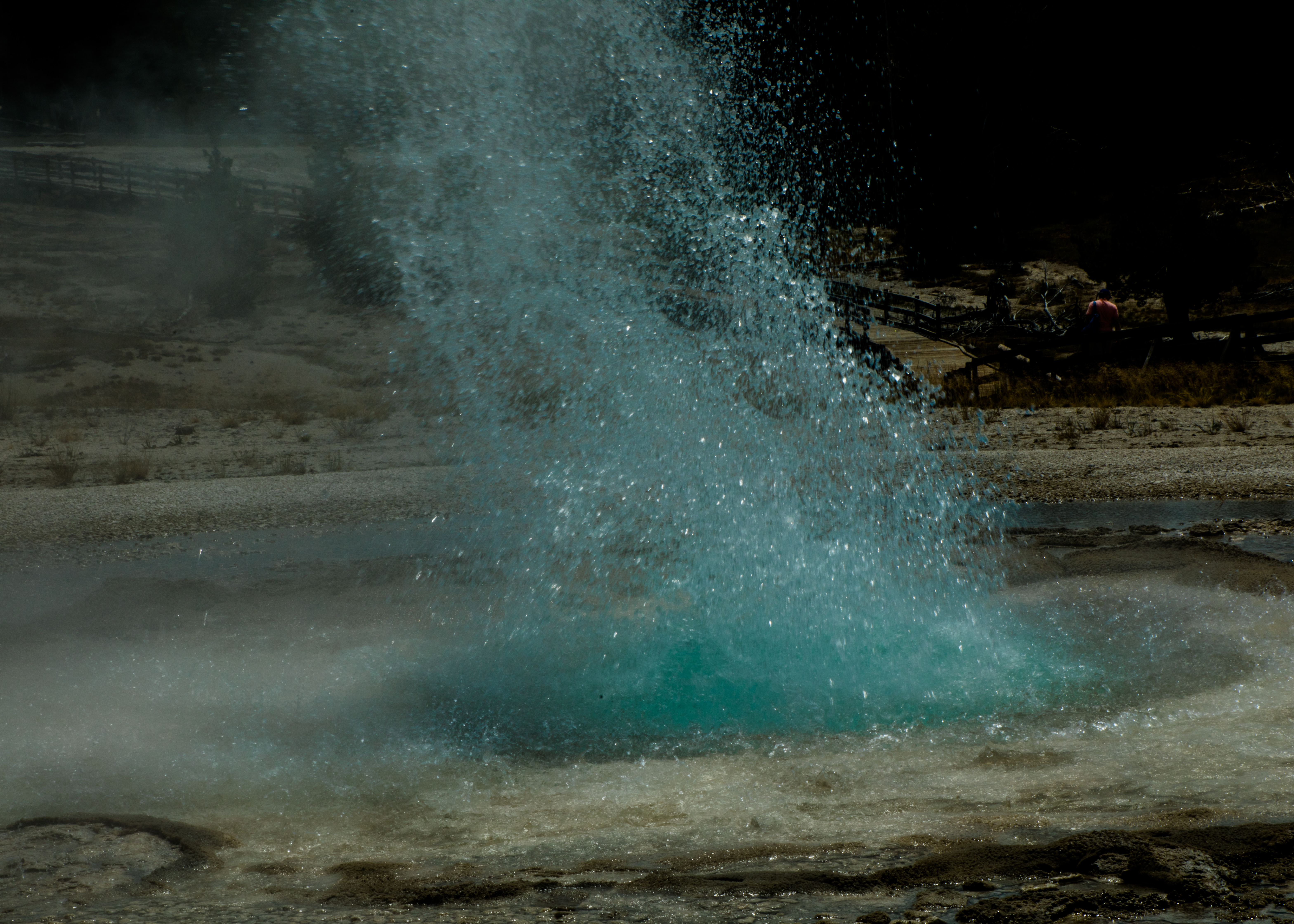
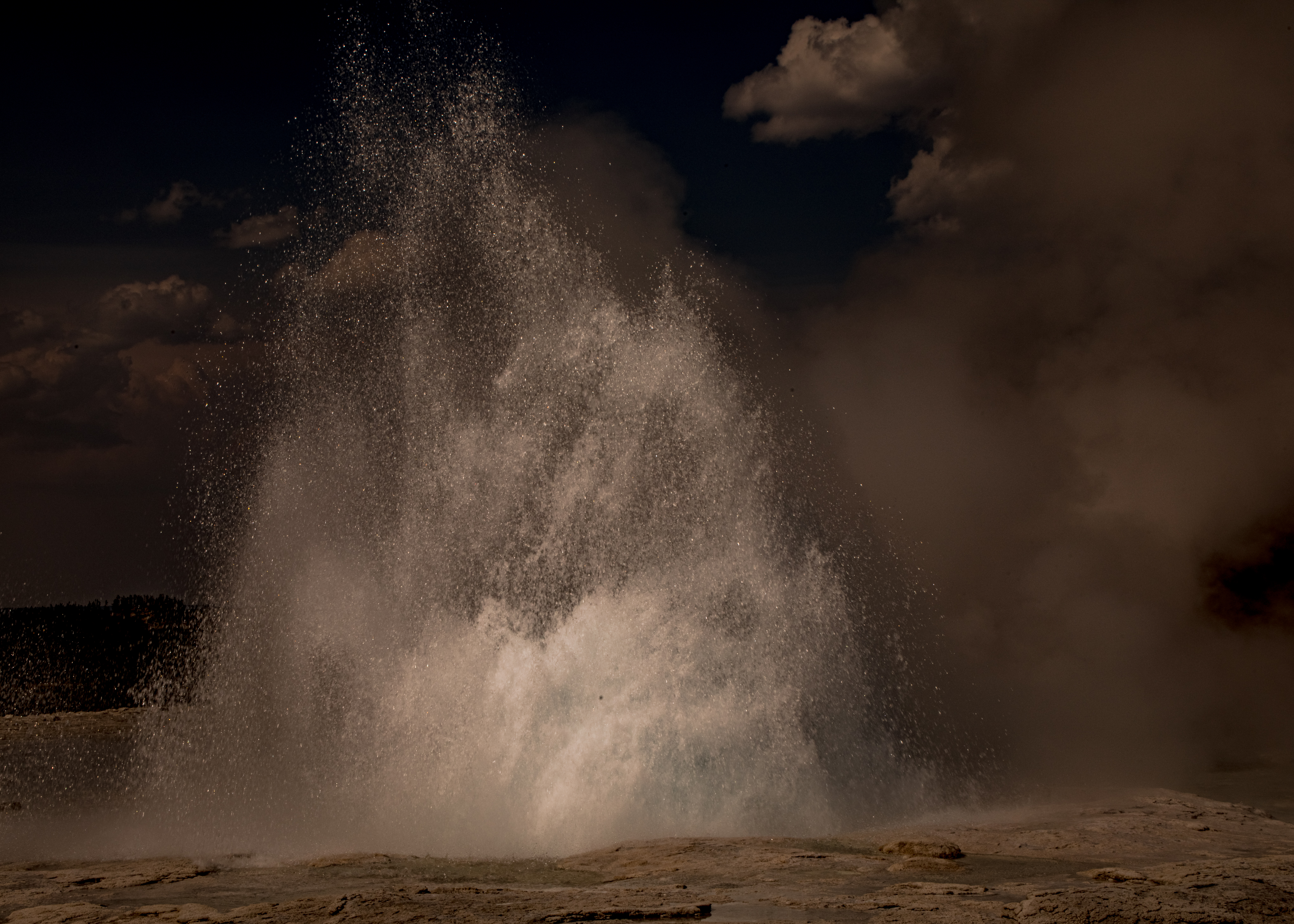
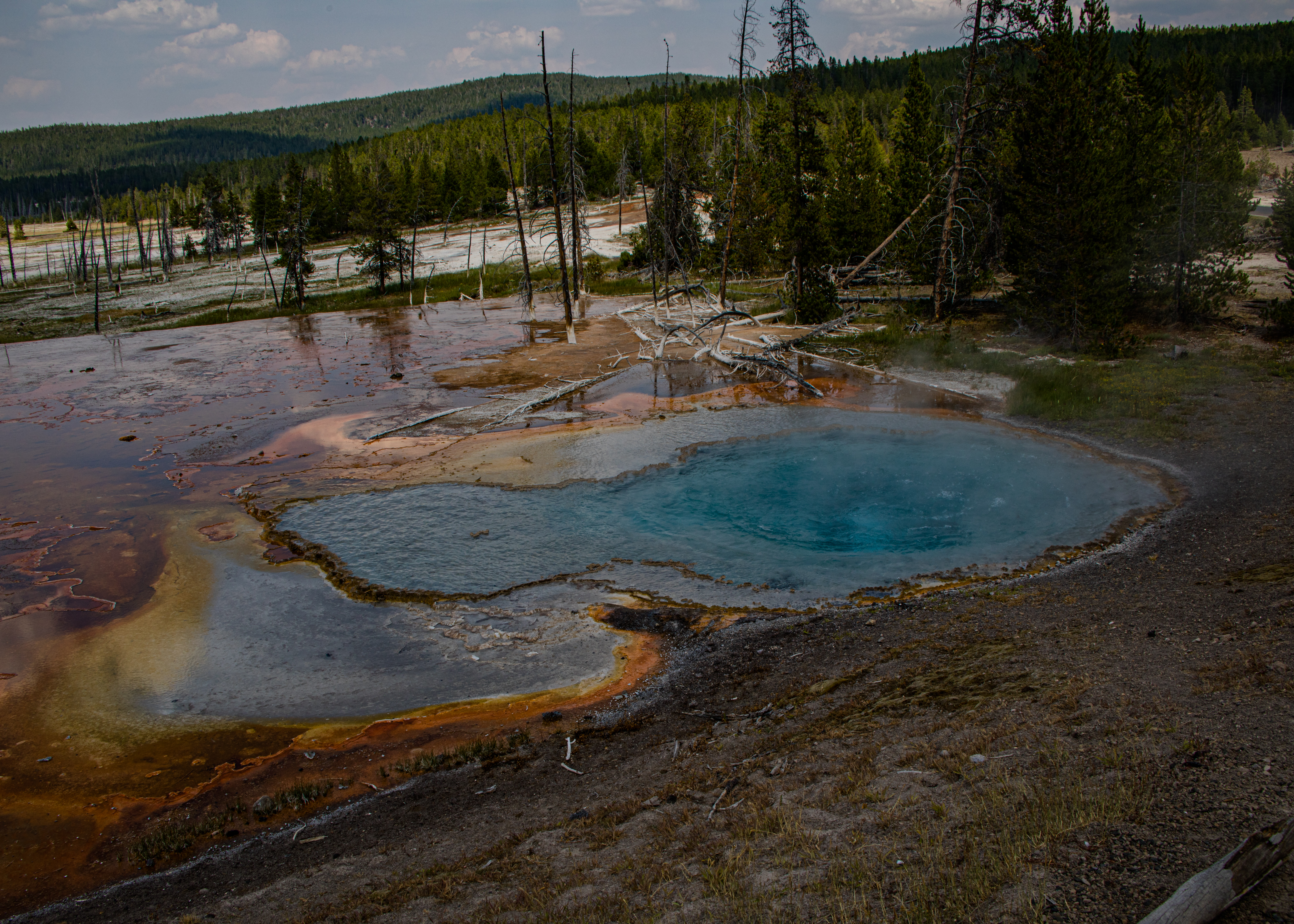
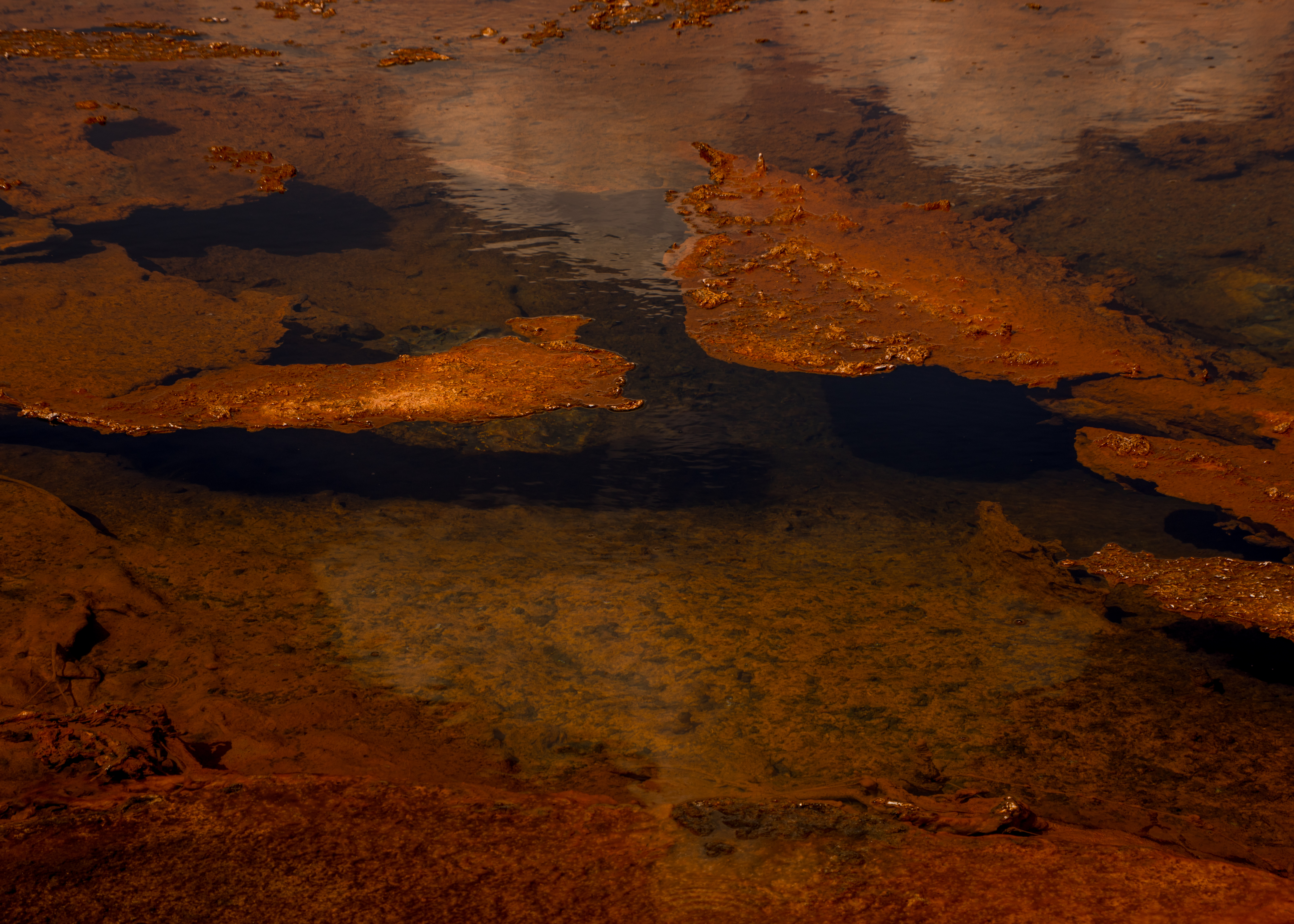
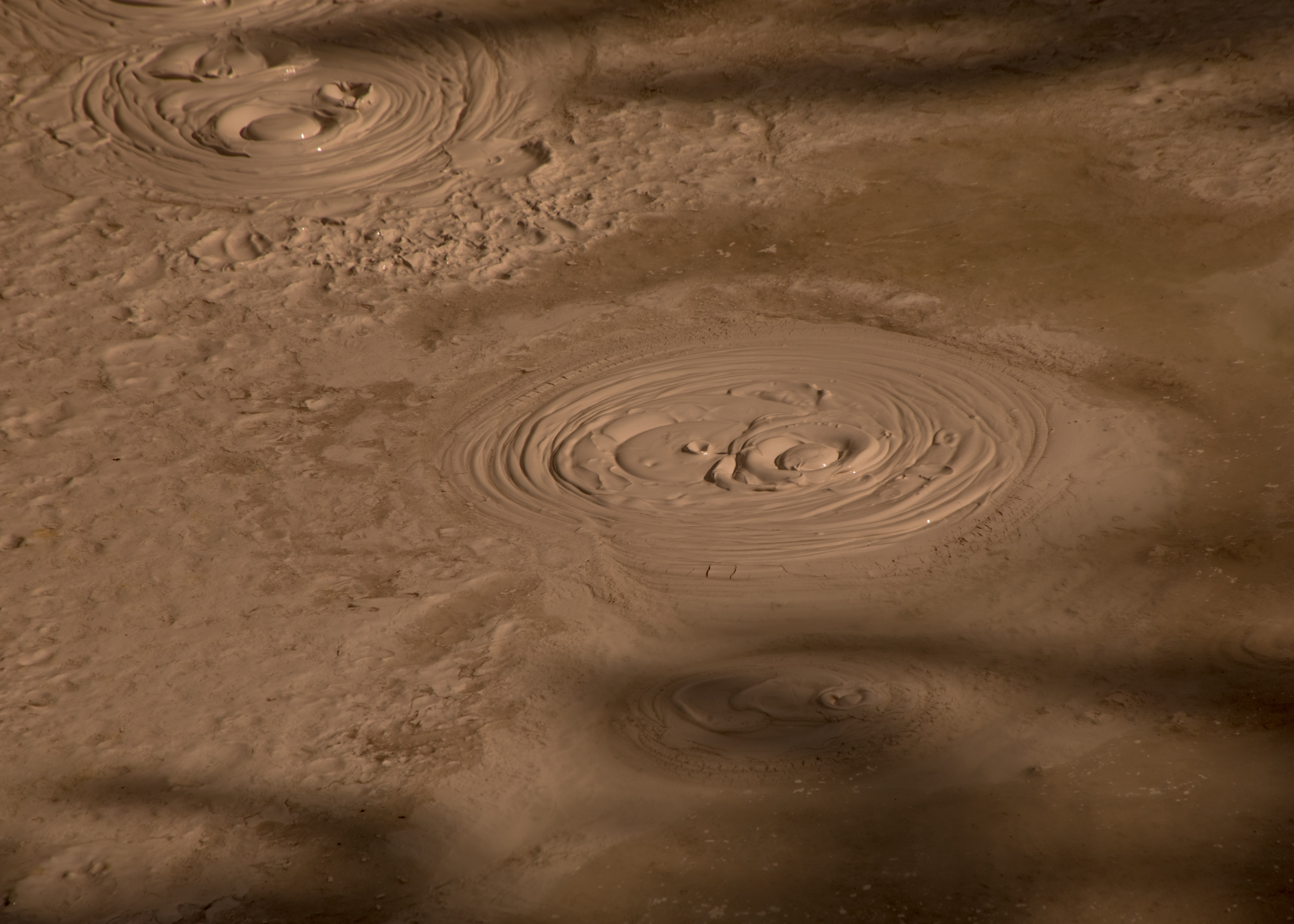
Norris Geyser Basin is the hottest and most changeable thermal area in Yellowstone. We explored the basin taking two loop trails totaling about 2 1/4 miles passing the world’s tallest active geyser, colorful hot springs, and microscopic life in one of the most extreme environments on earth.

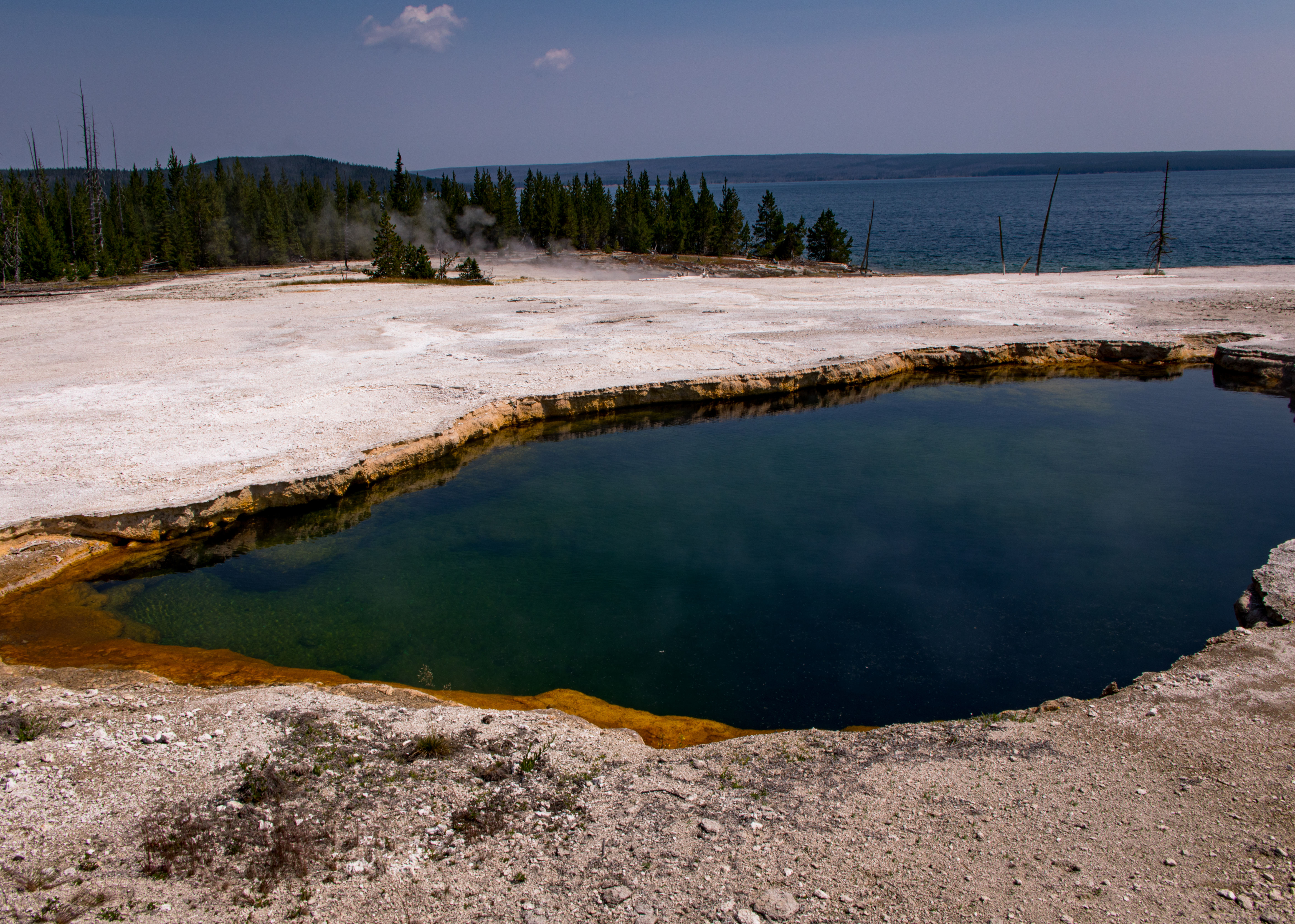
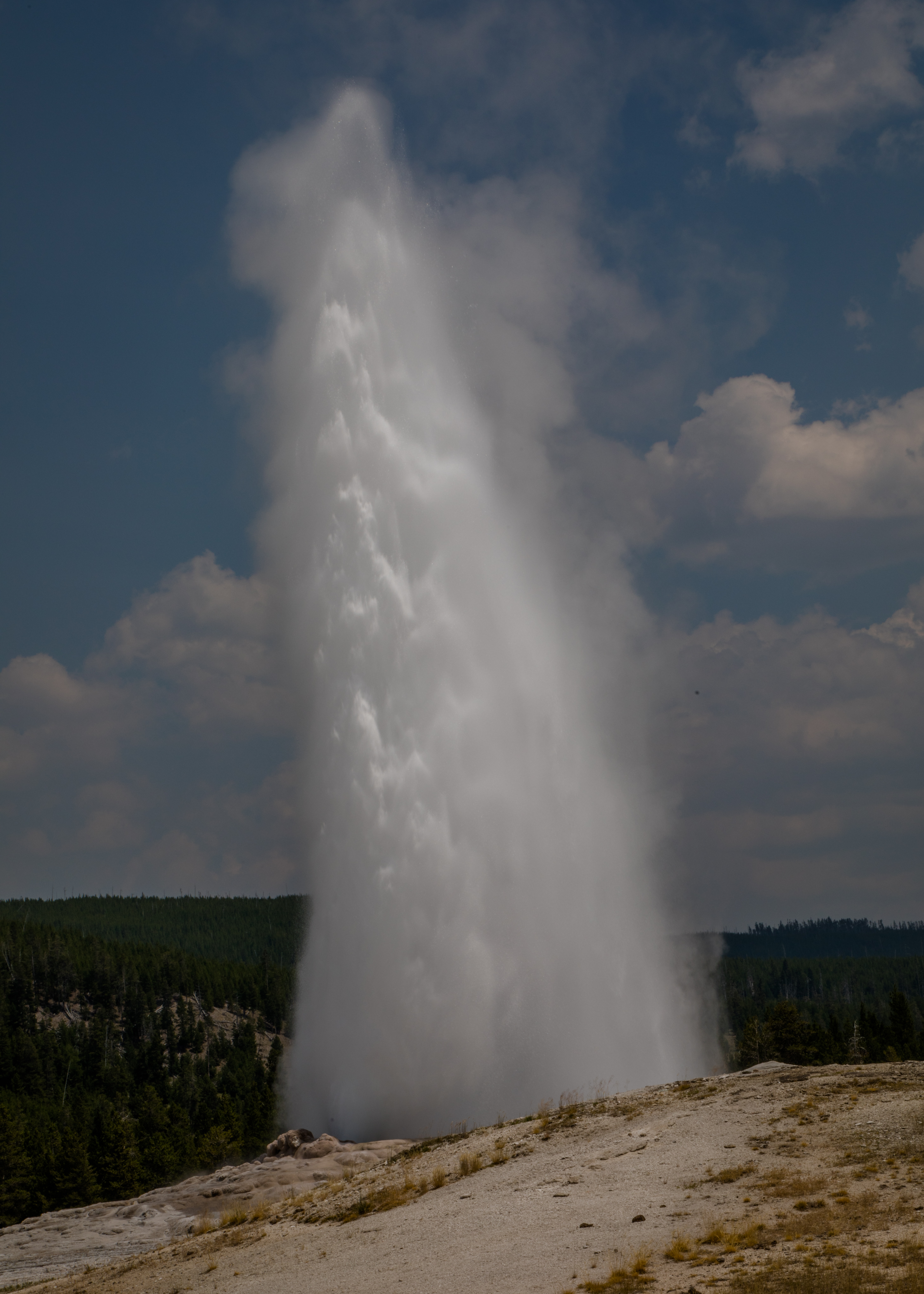
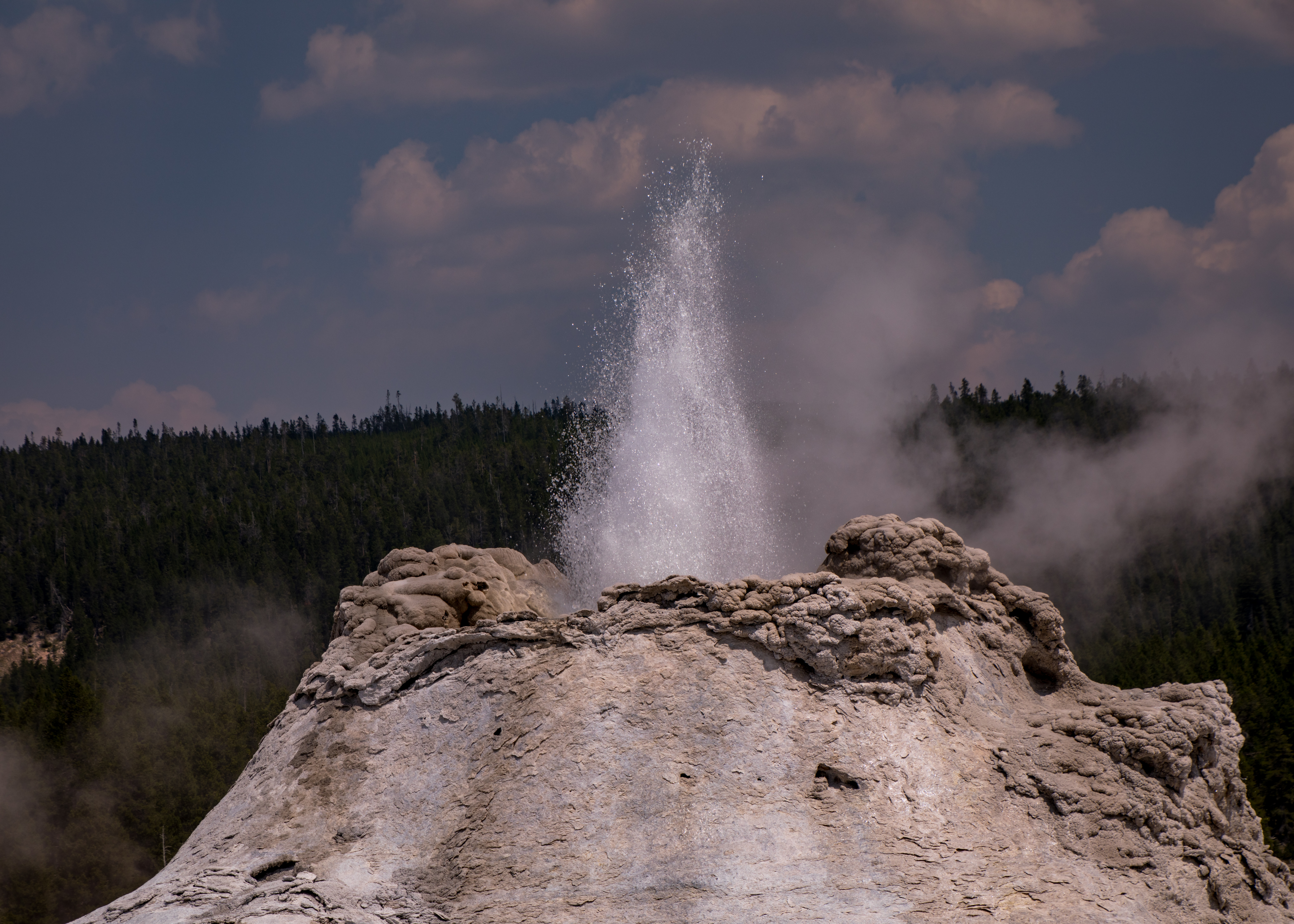
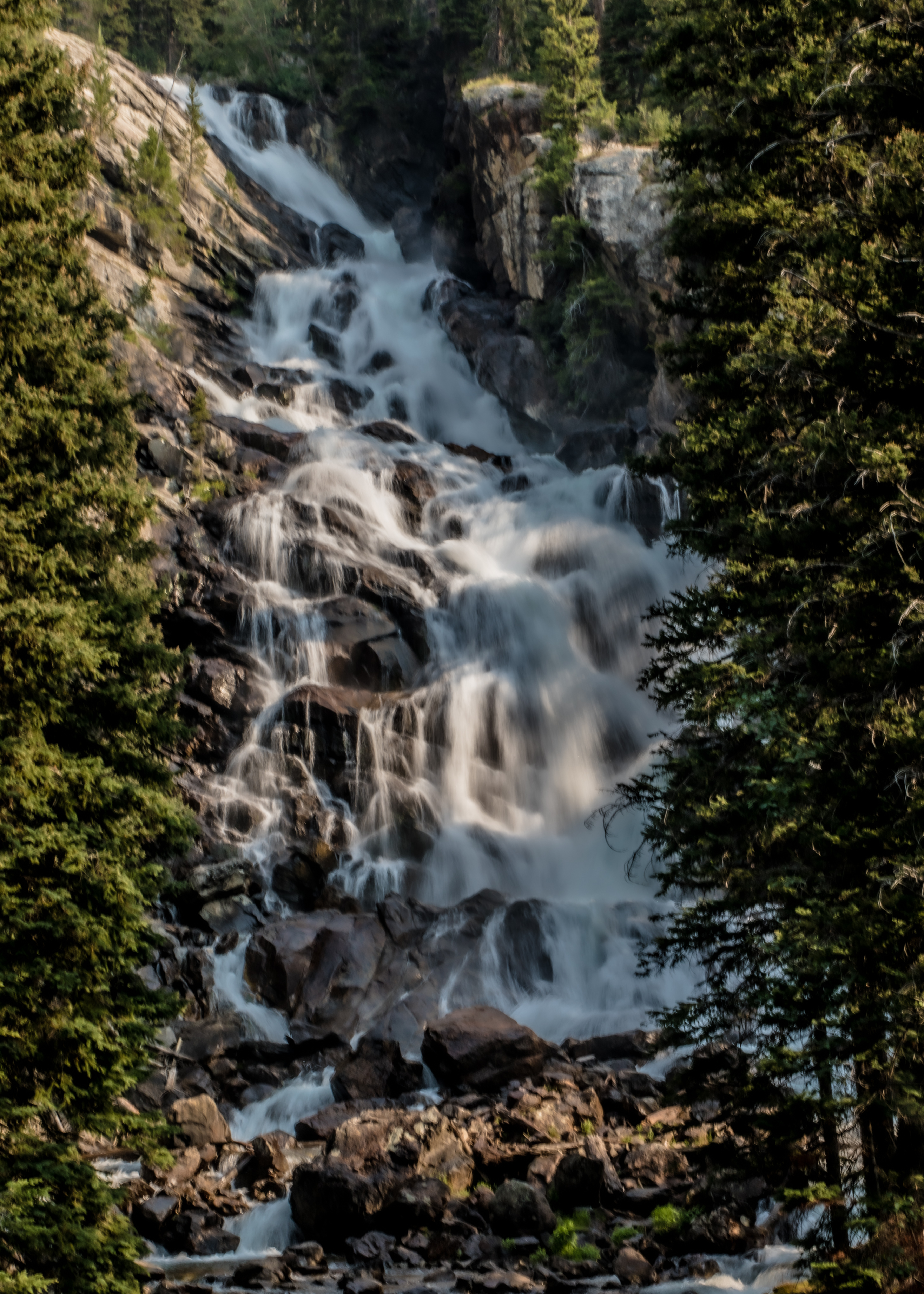
Rainbow Colors, hissing steam, and pungent odors combine to create an experience unique in Yellowstone. Porcelain Basin is open terrain with hundreds of densely packed geothermal features; in contrast, Back Basin is forested and its features are more scattered and isolated. Steamboat Geyser, is the world’s tallest active geyser. Its major eruptions shoot water more than 300 feet – not today.

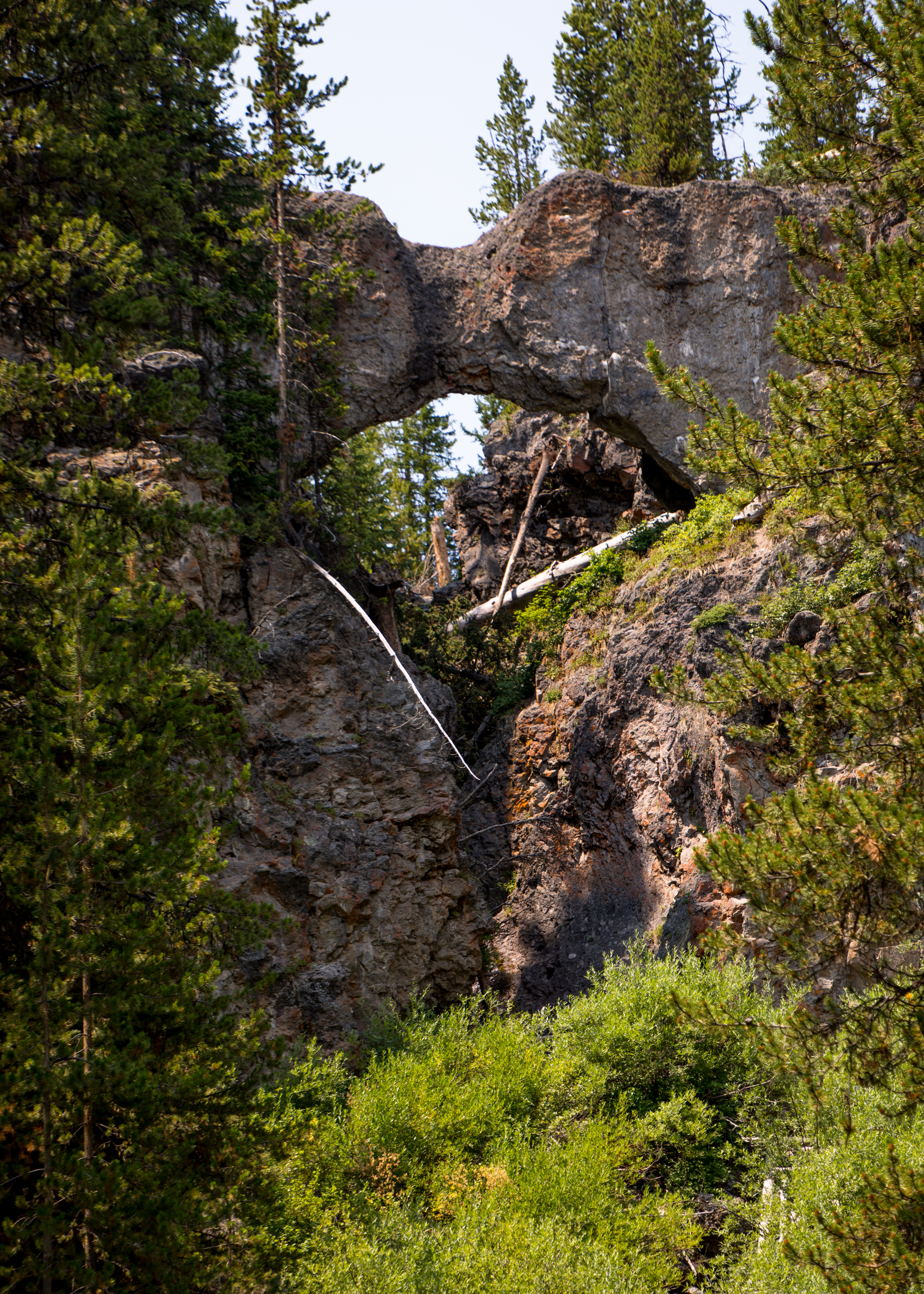
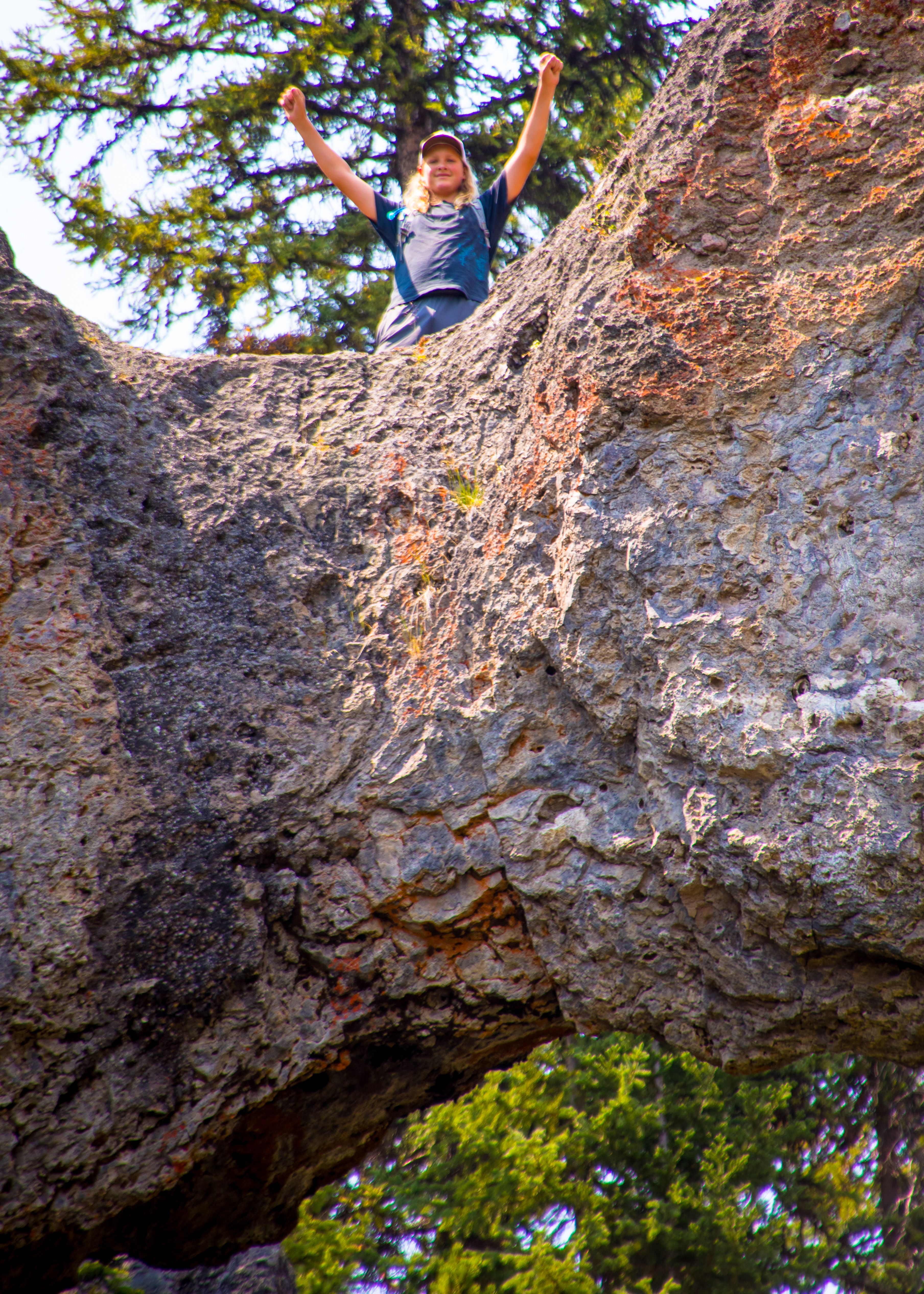
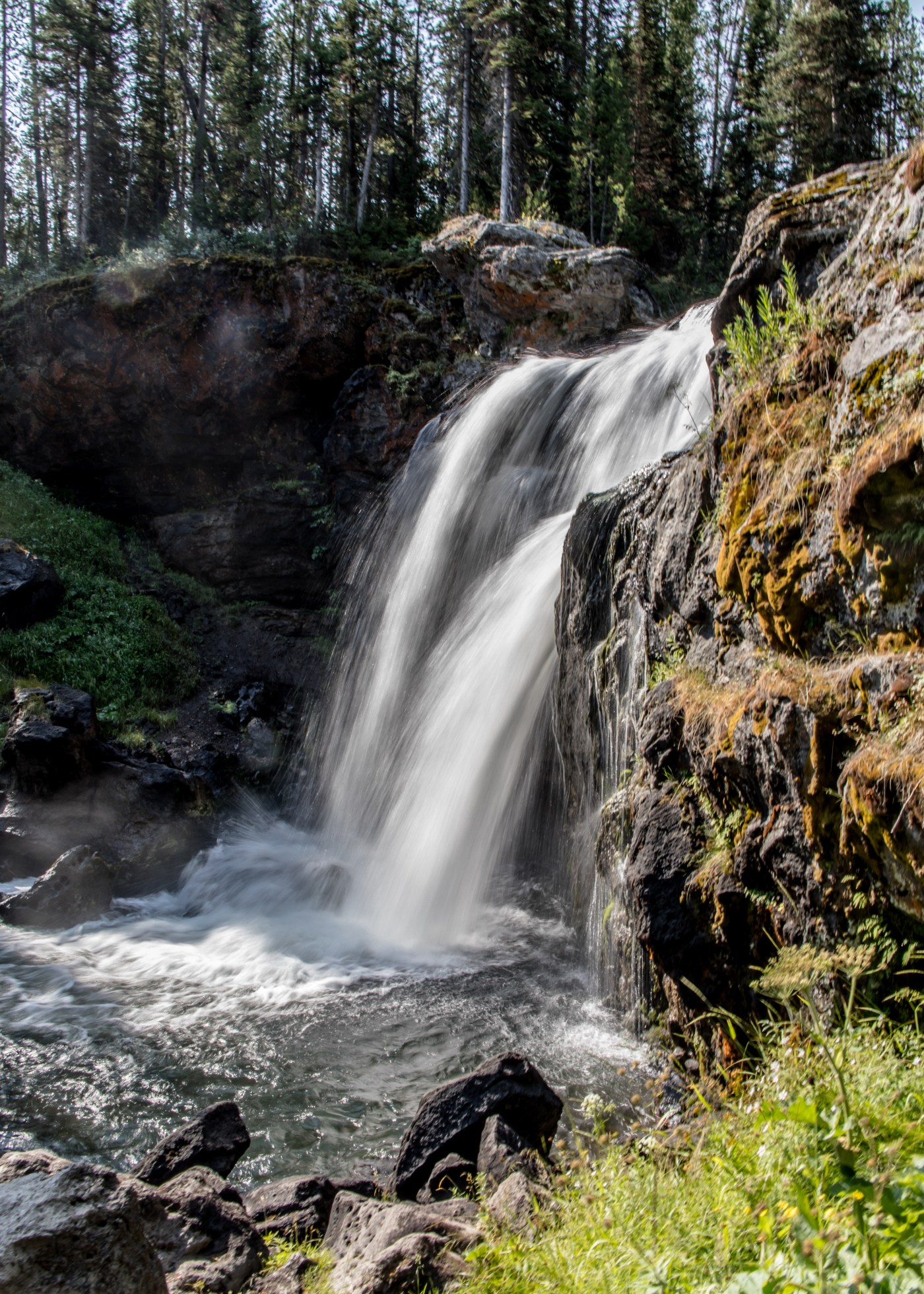
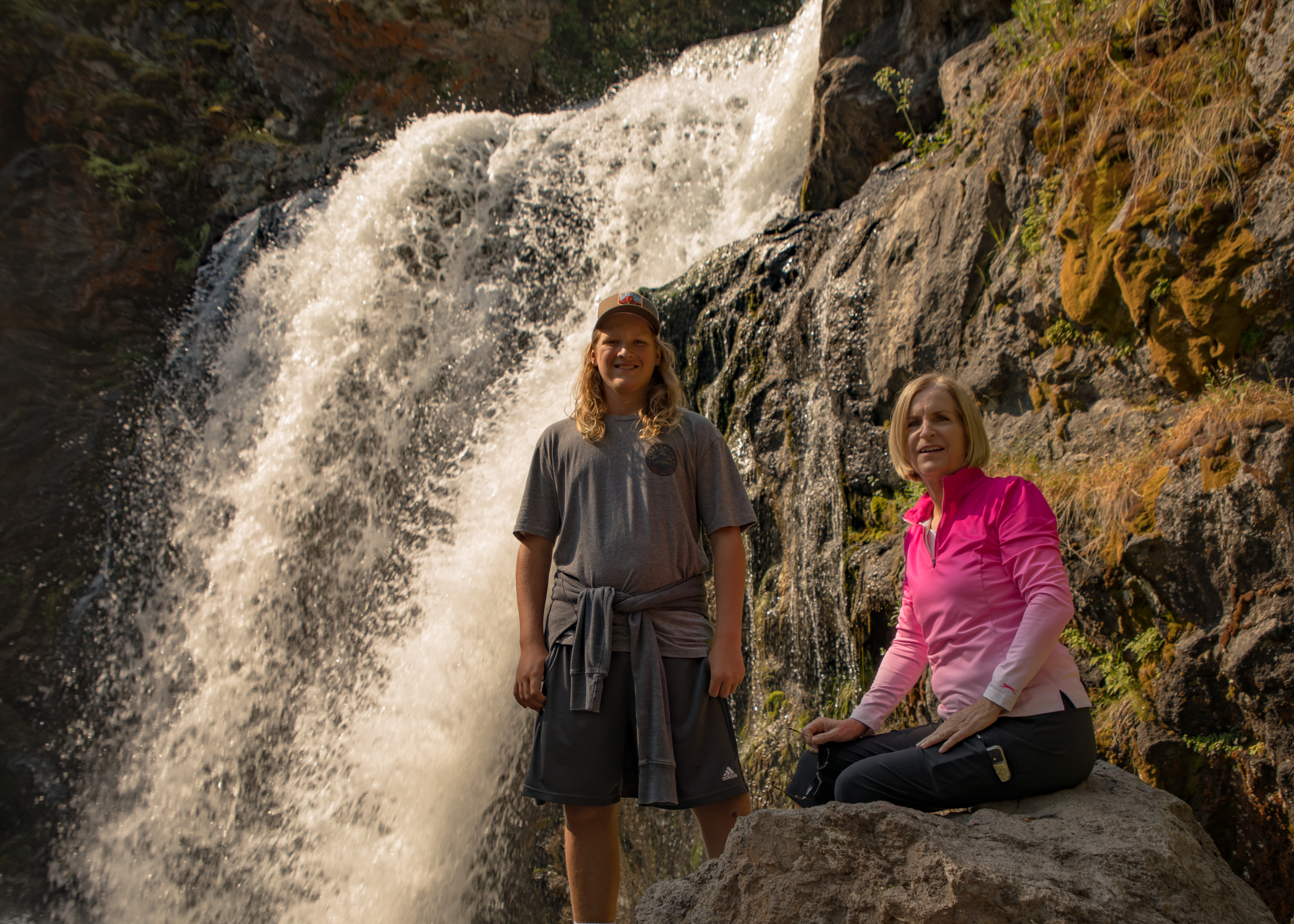
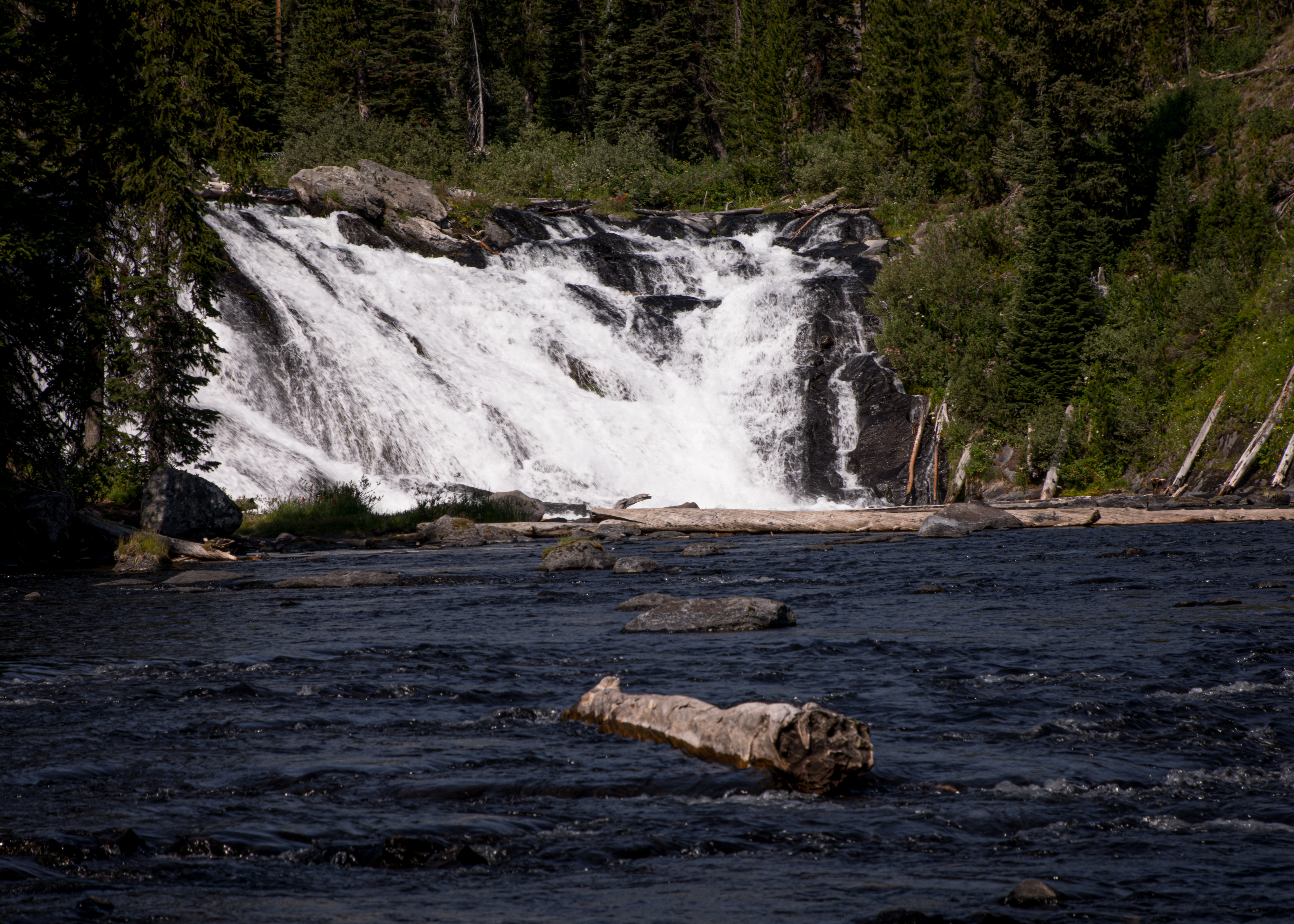
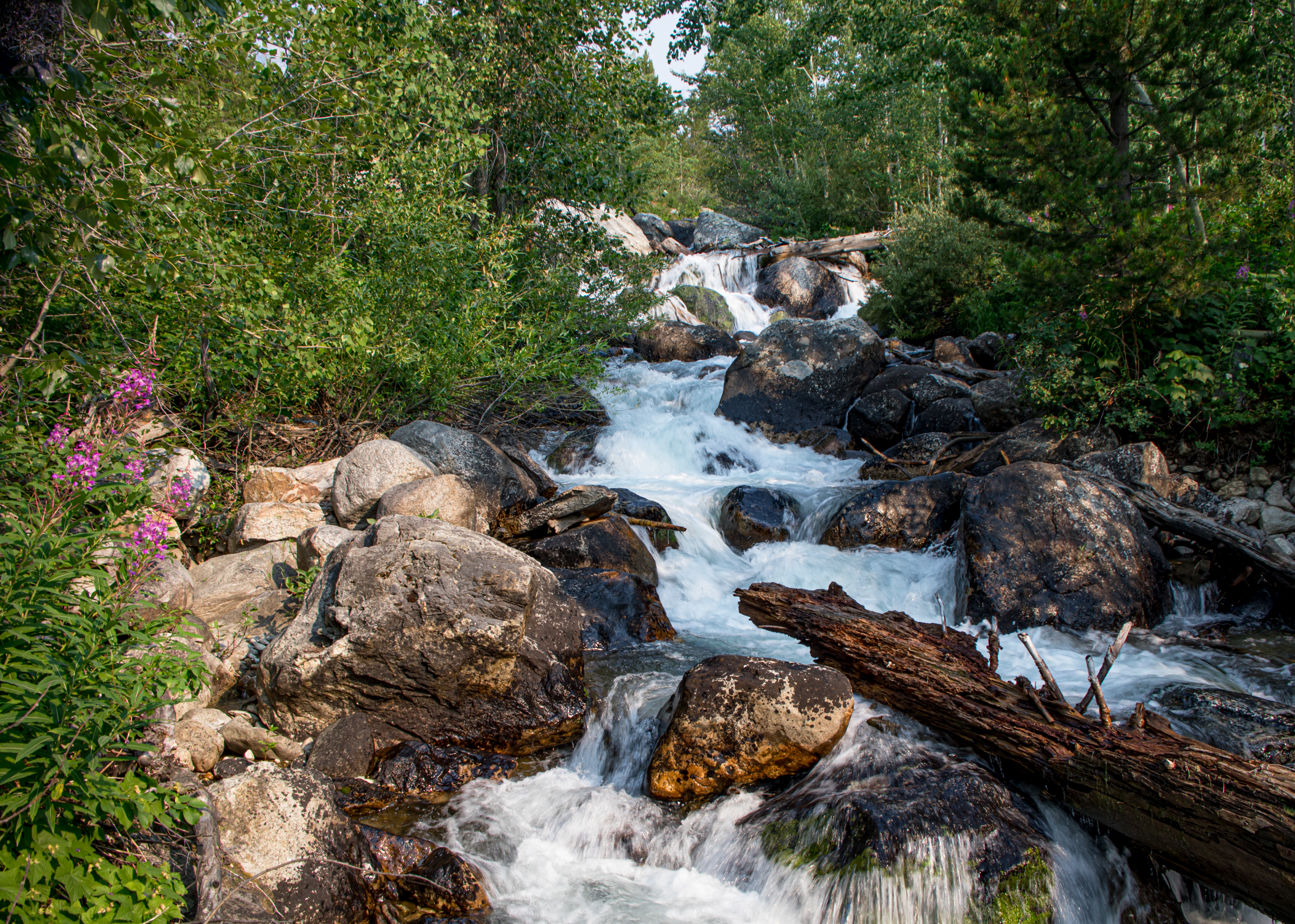
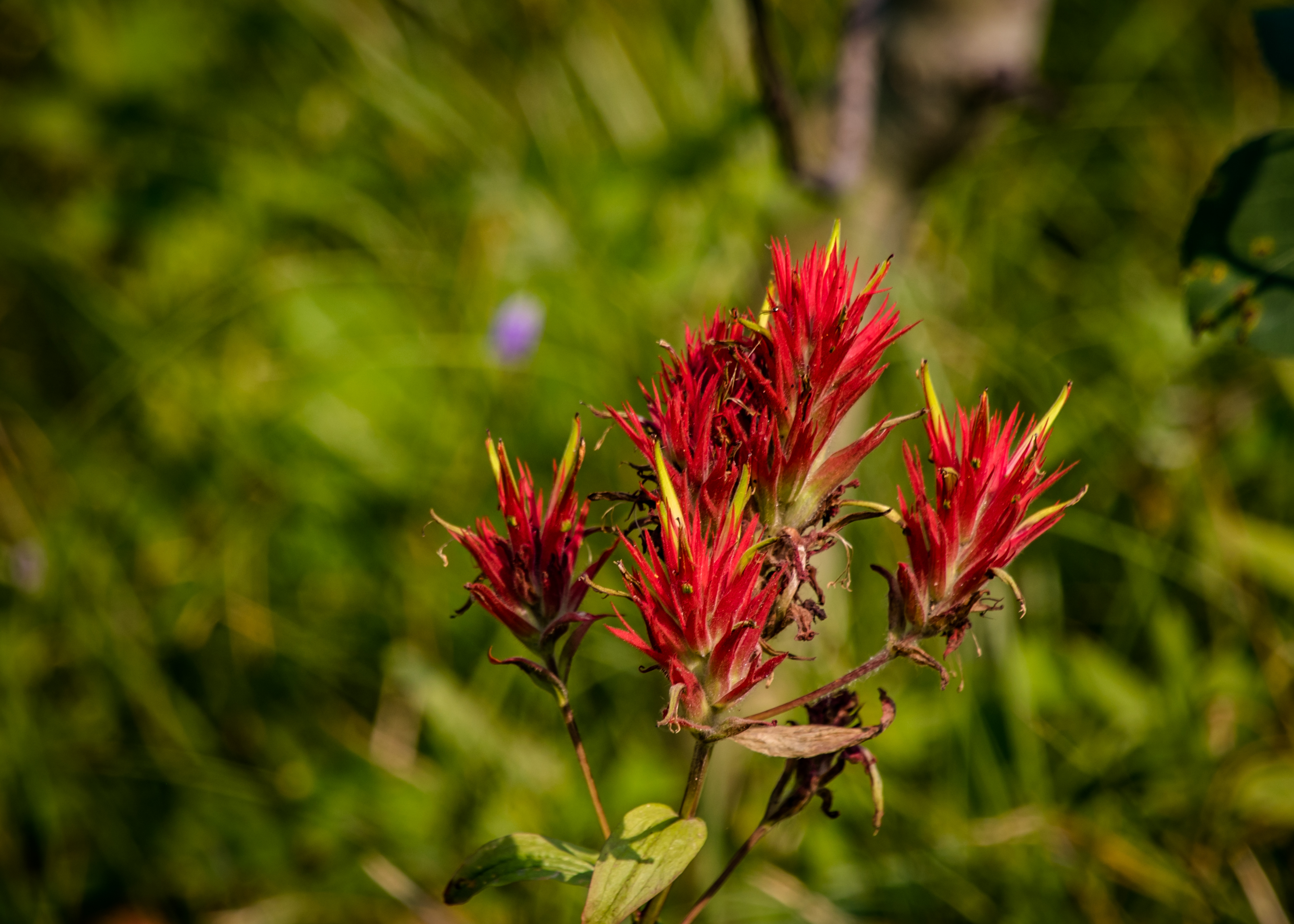
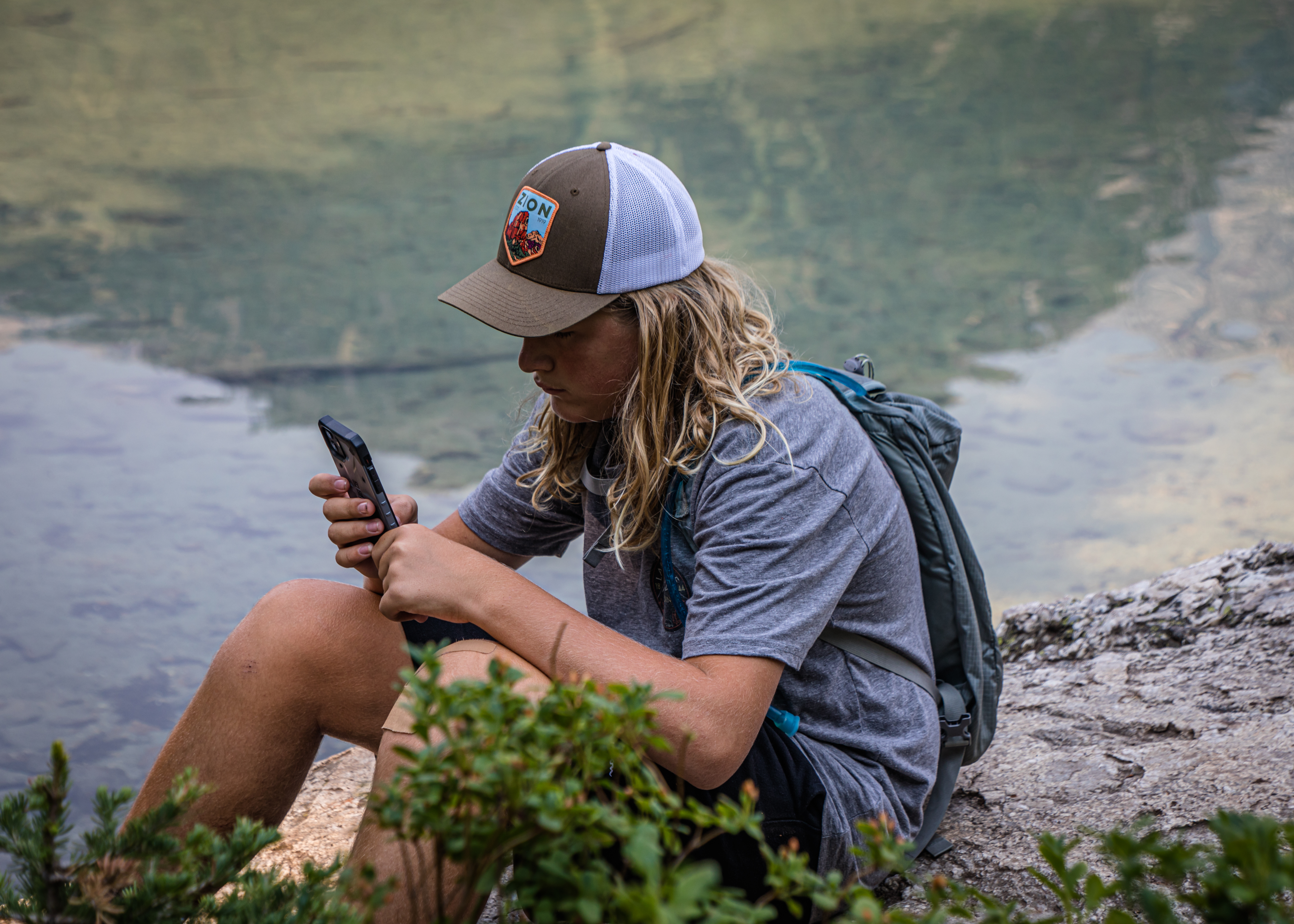
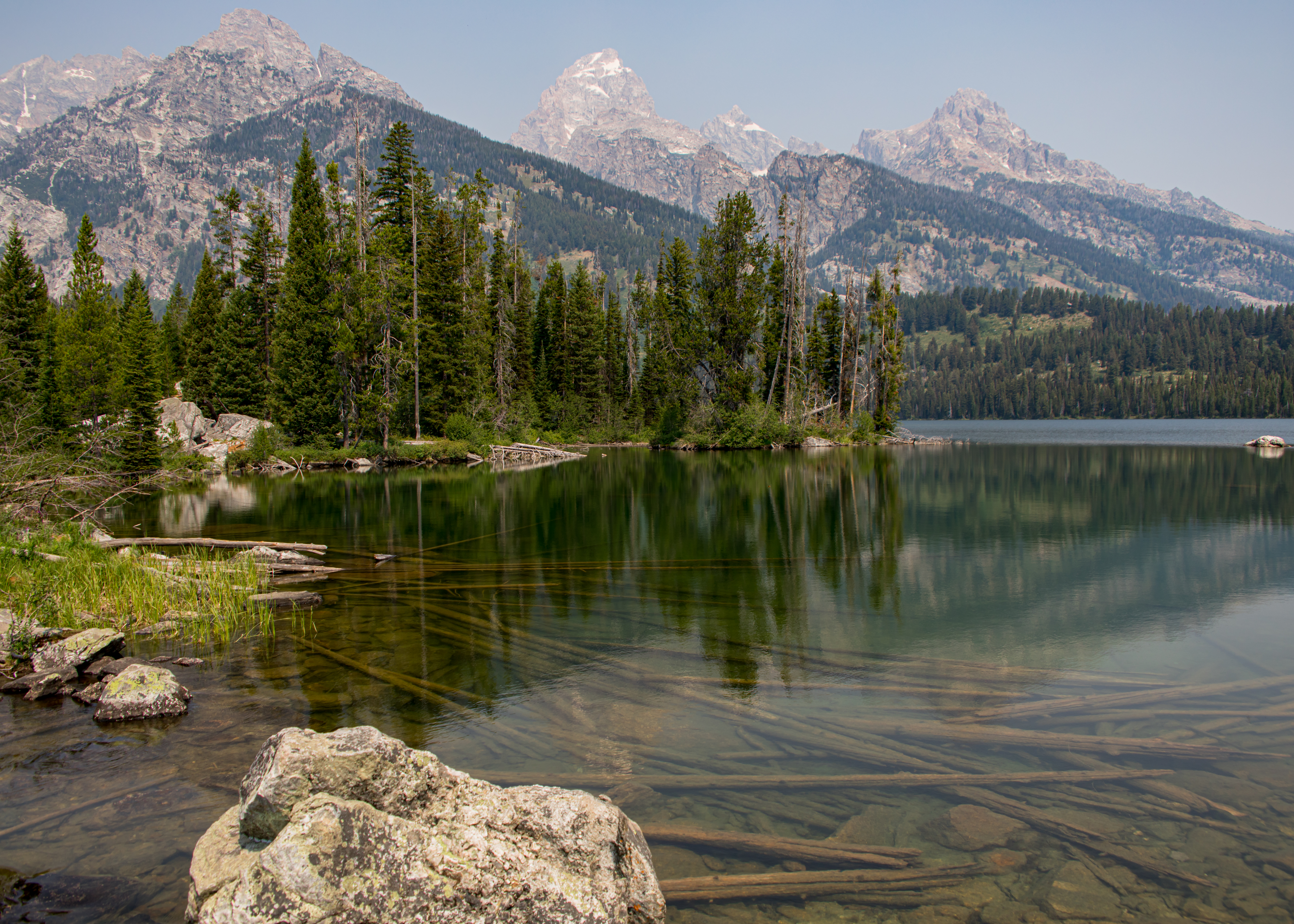
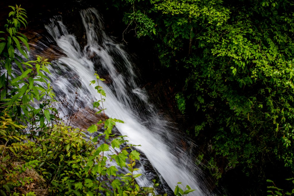
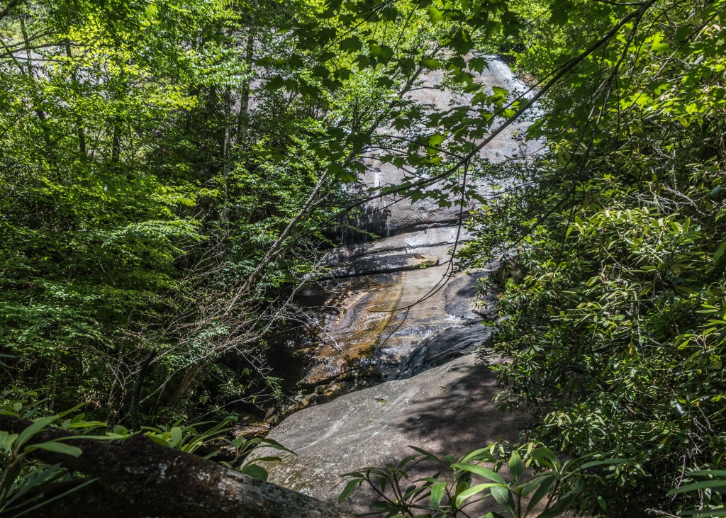
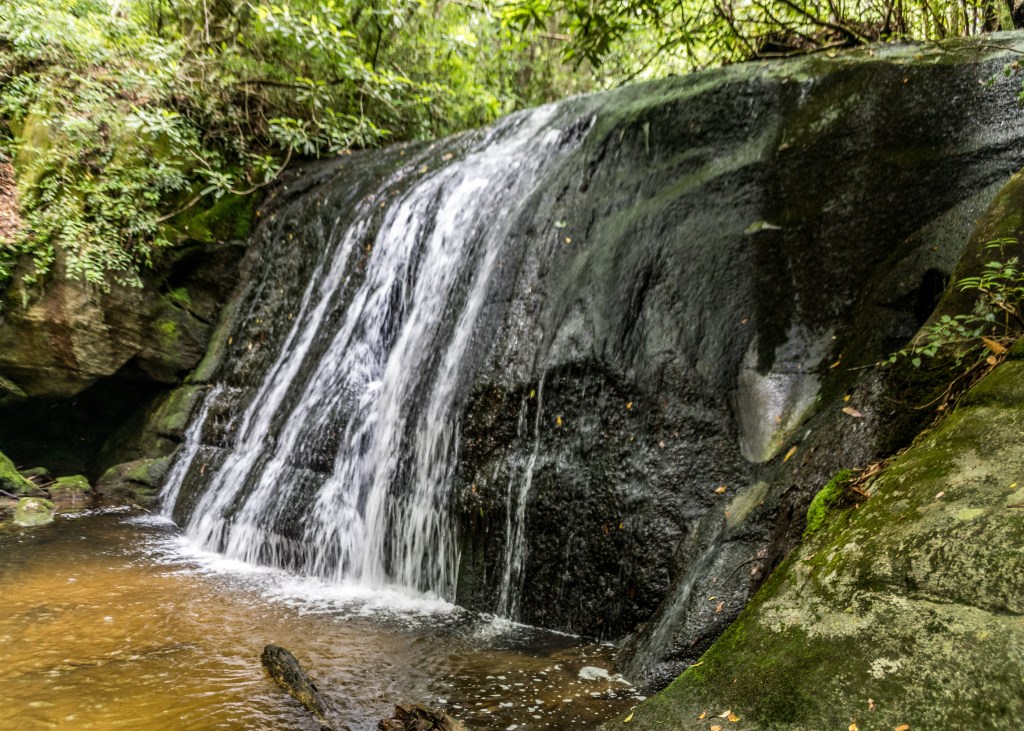
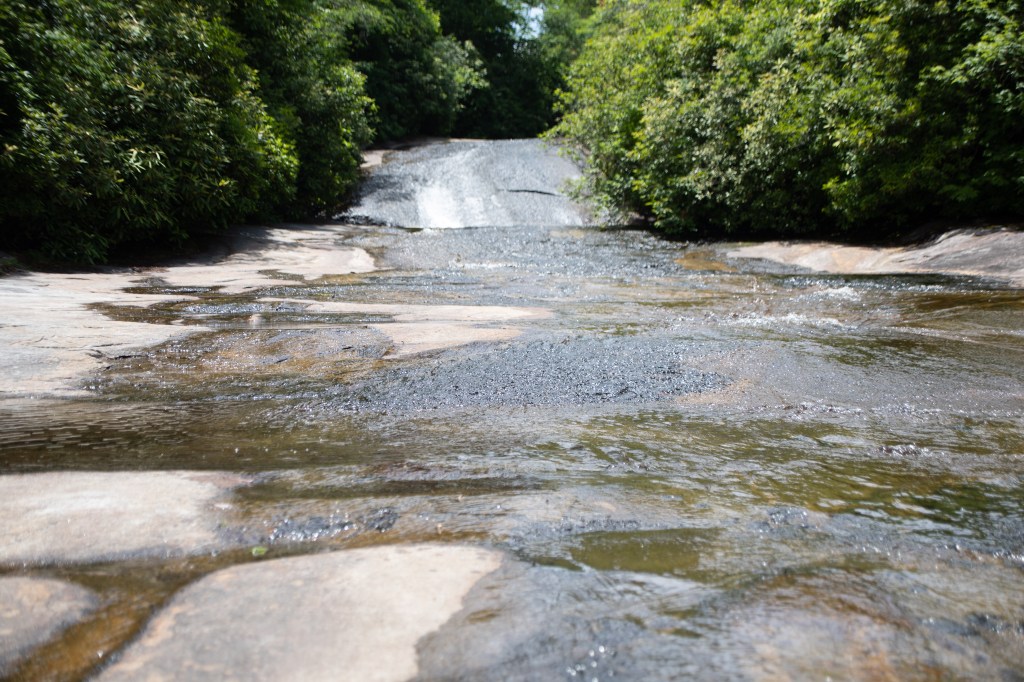
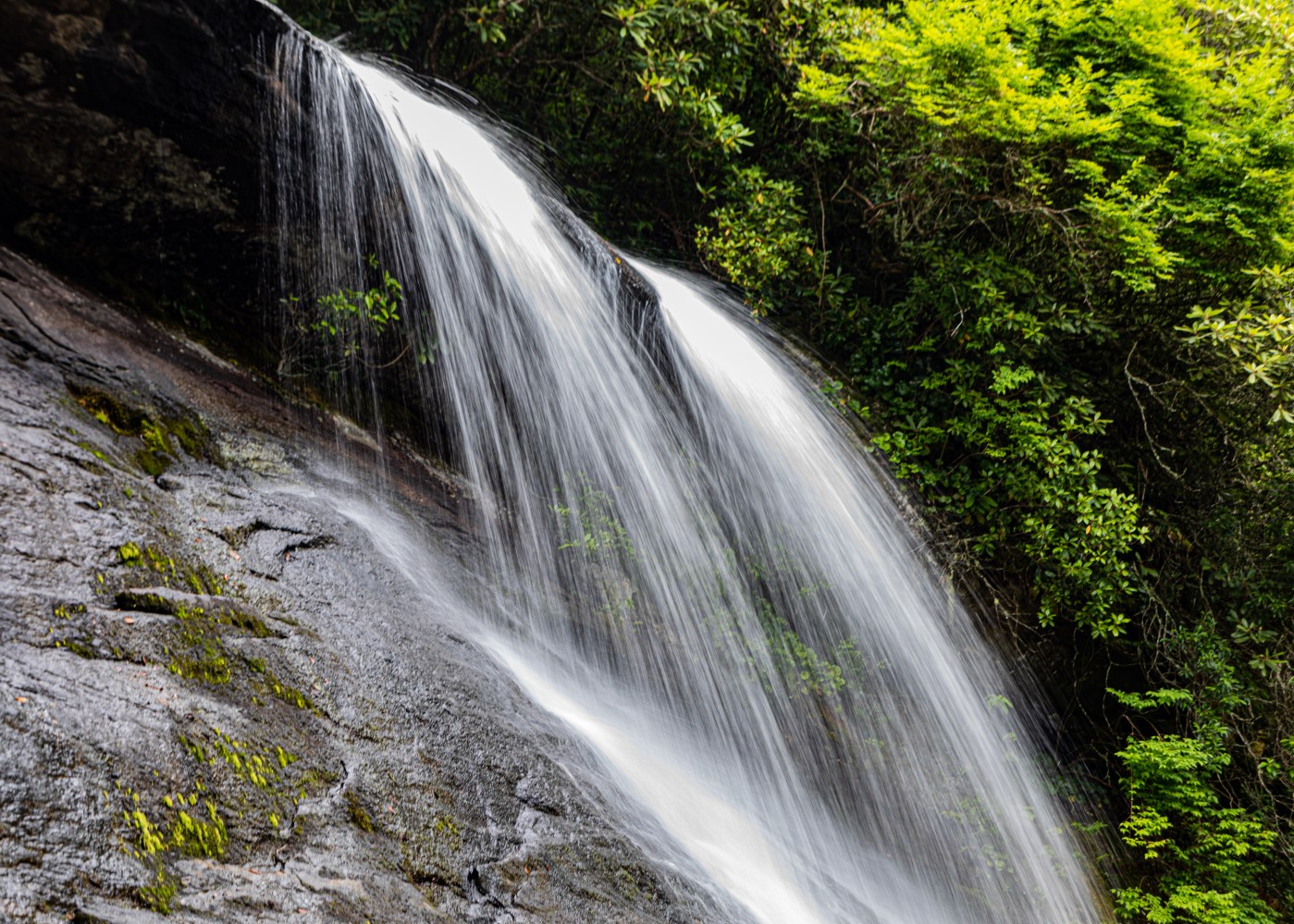
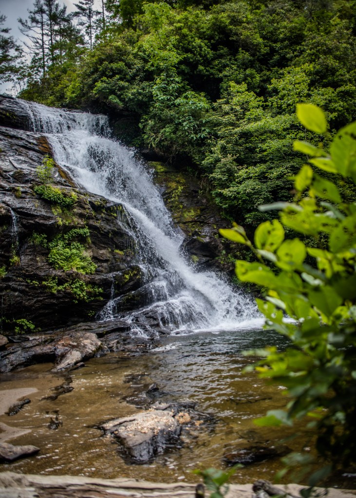
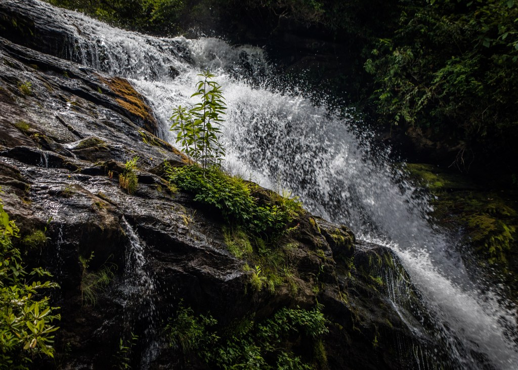
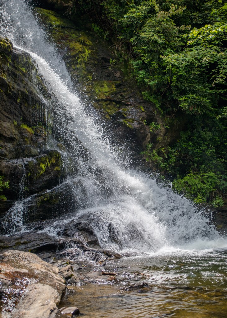
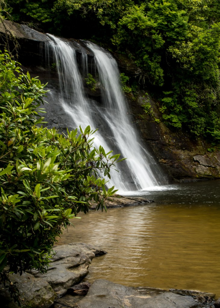
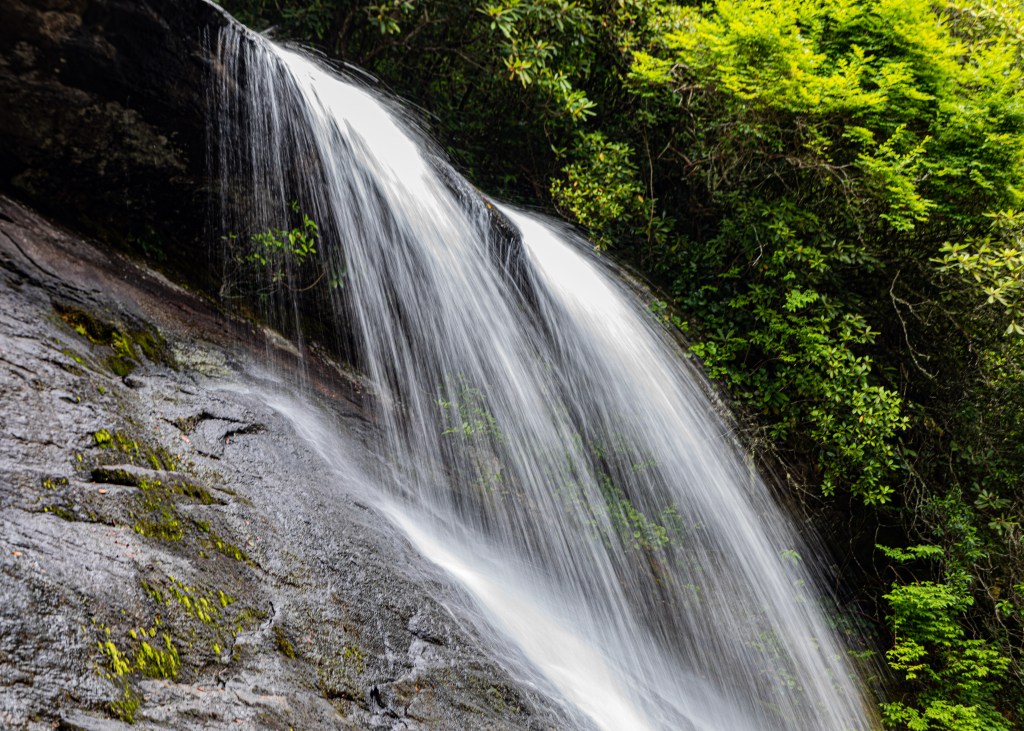
Natural Bridge trail – Yellowstone Natural Bridge is a natural arch. The arch is at an elevation of 7,983 feet and can be reached by hiking a little more than a mile and a half. The arch is 51 feet tall and was created as water eroded through the surrounding ryholite rock. Not a challenge to climb for a 14 year old.

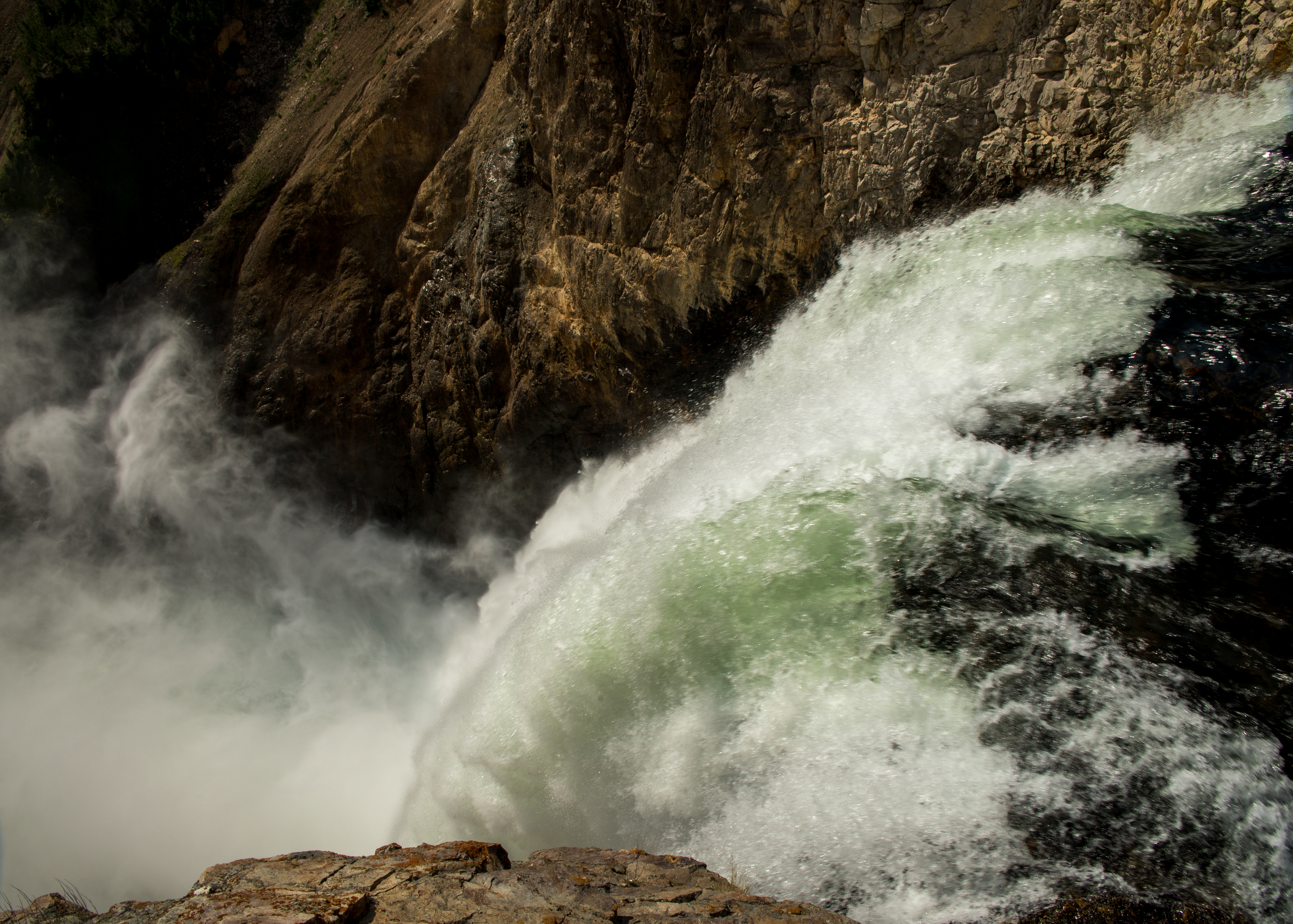
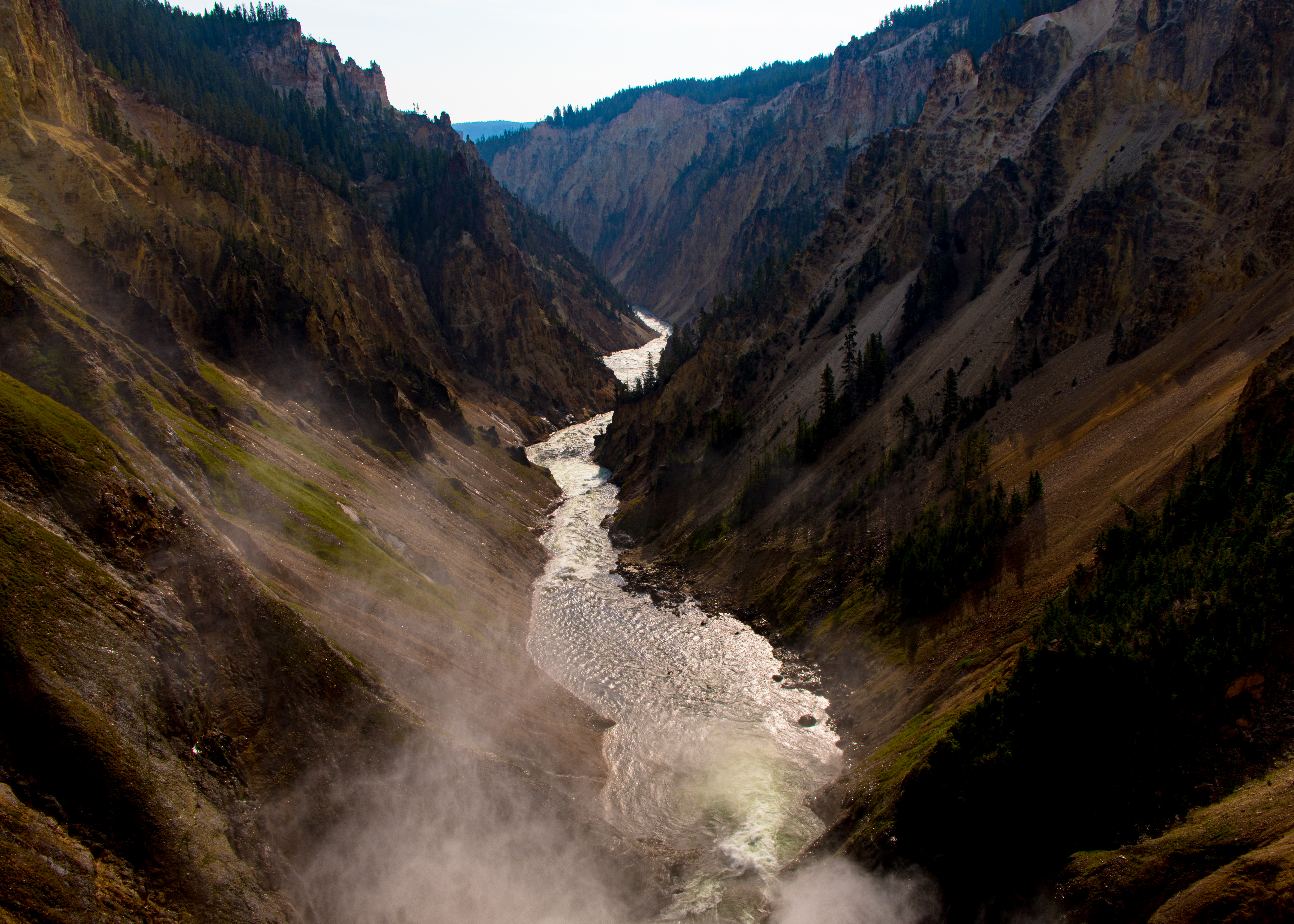
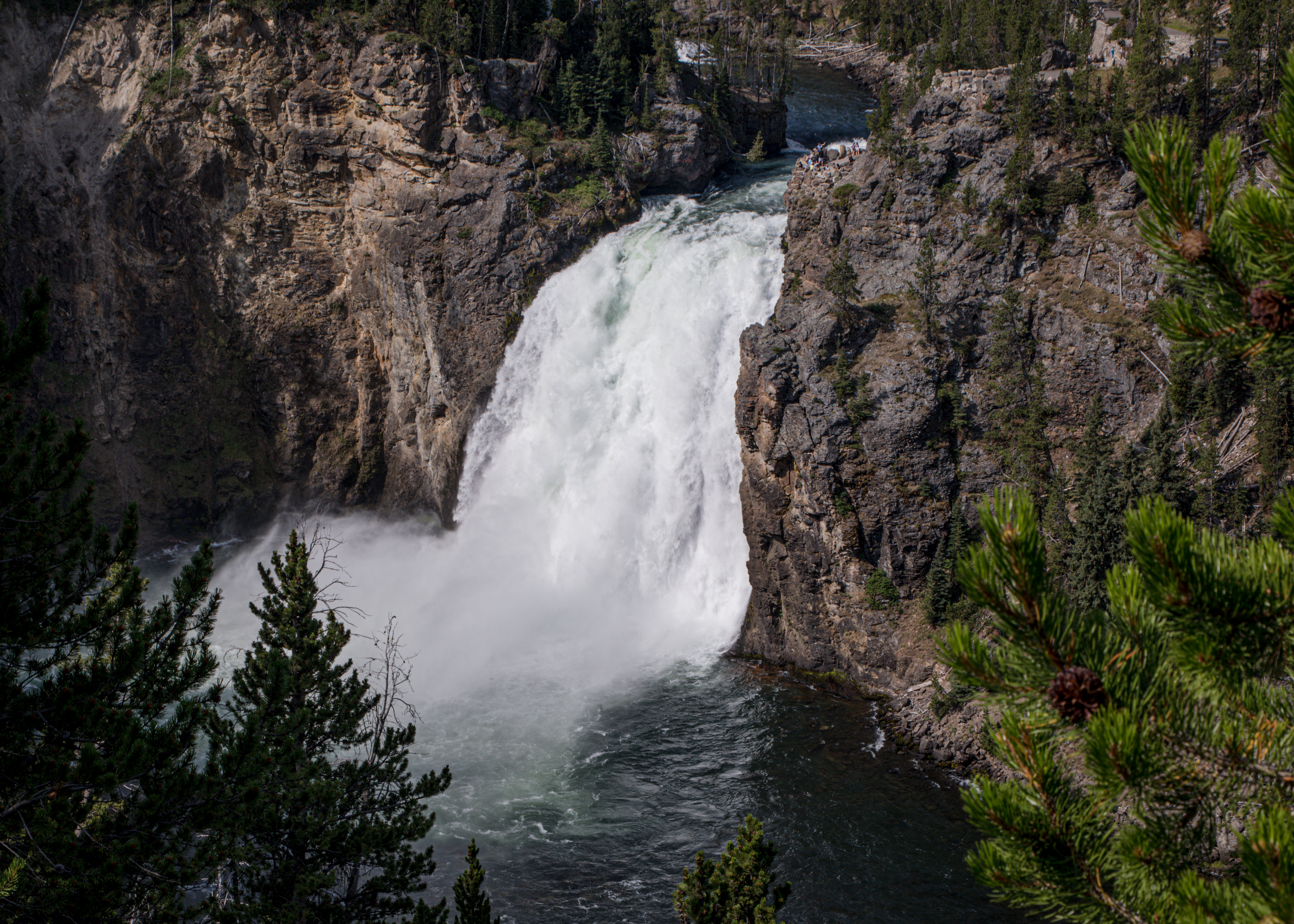
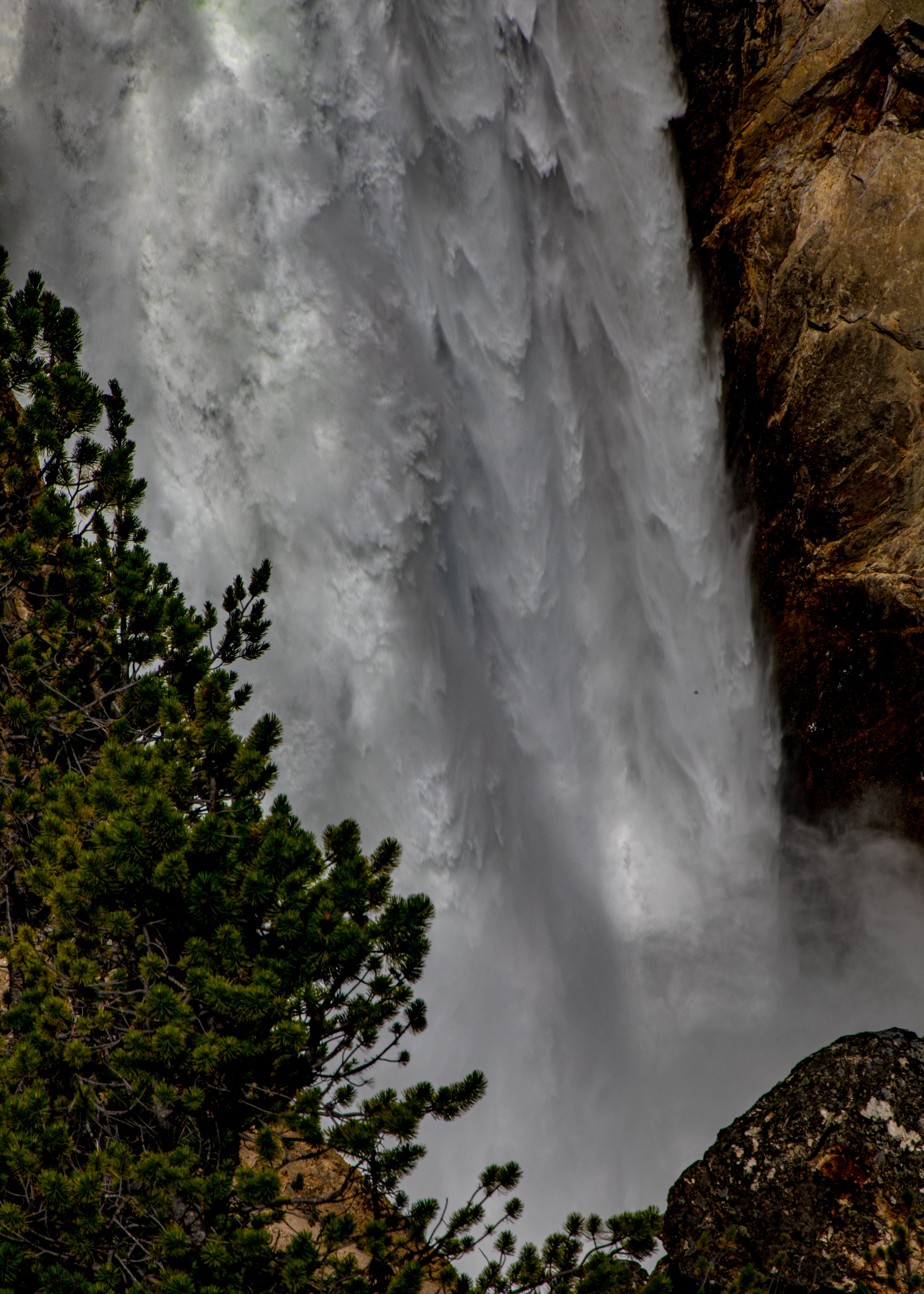
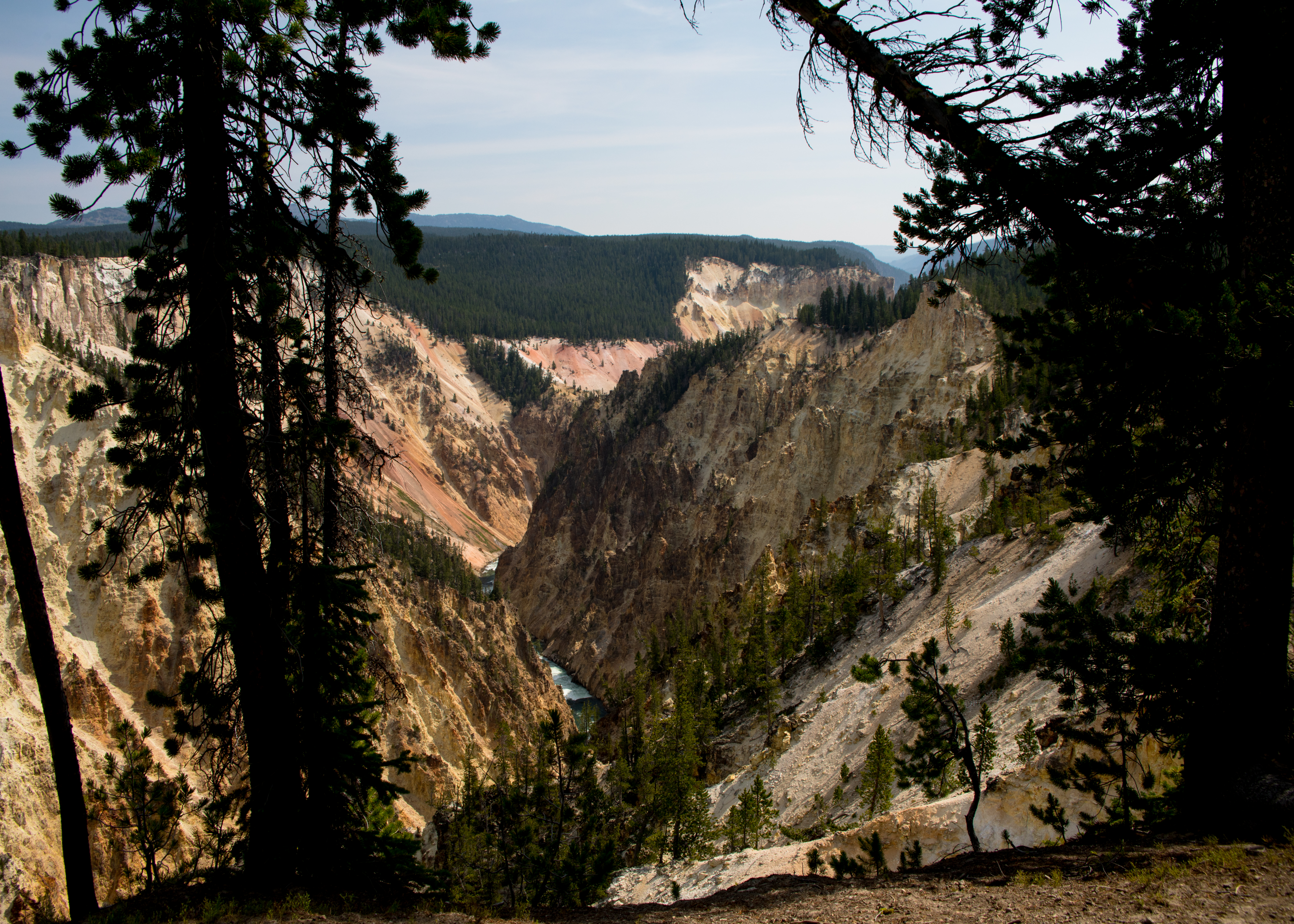
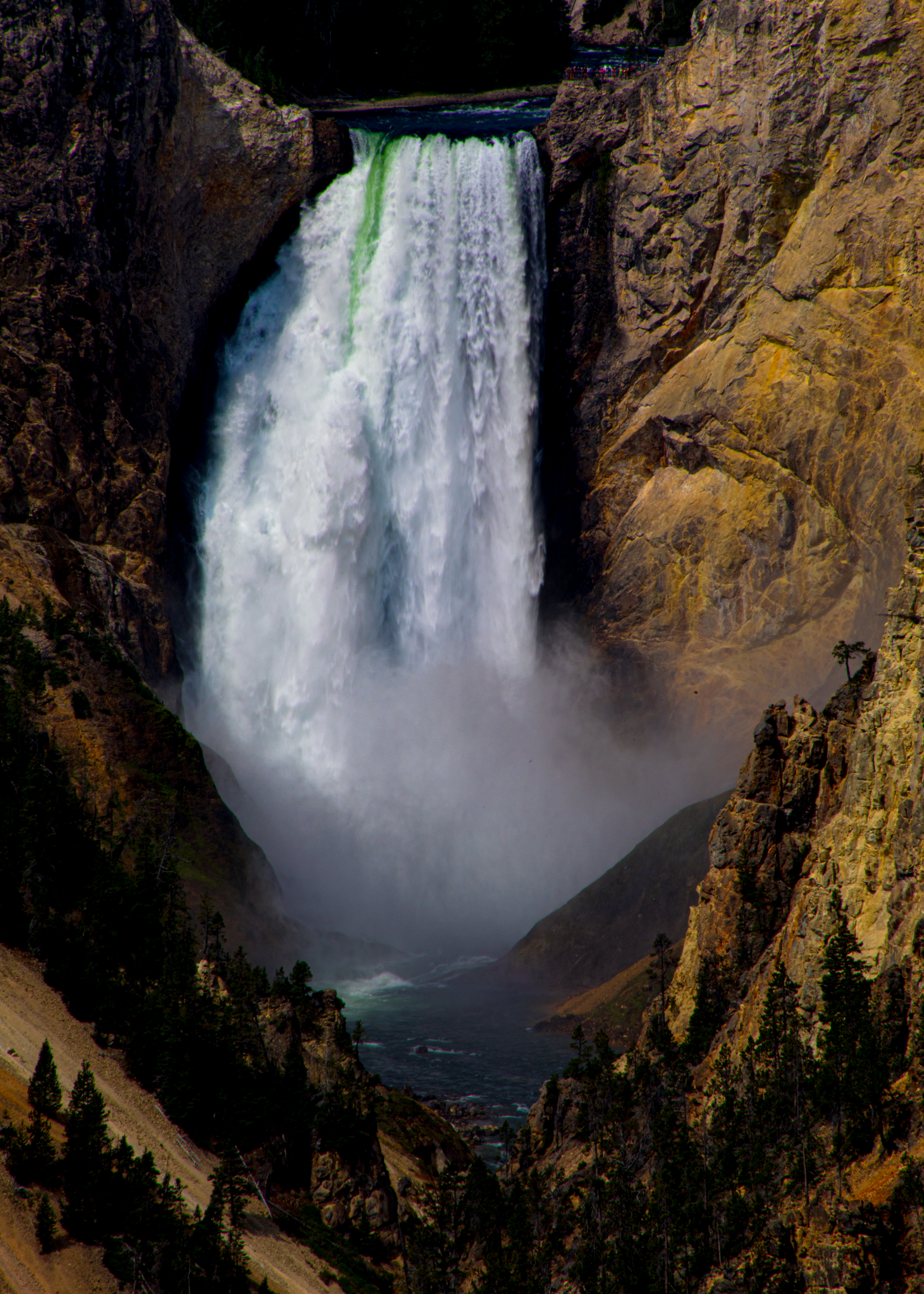
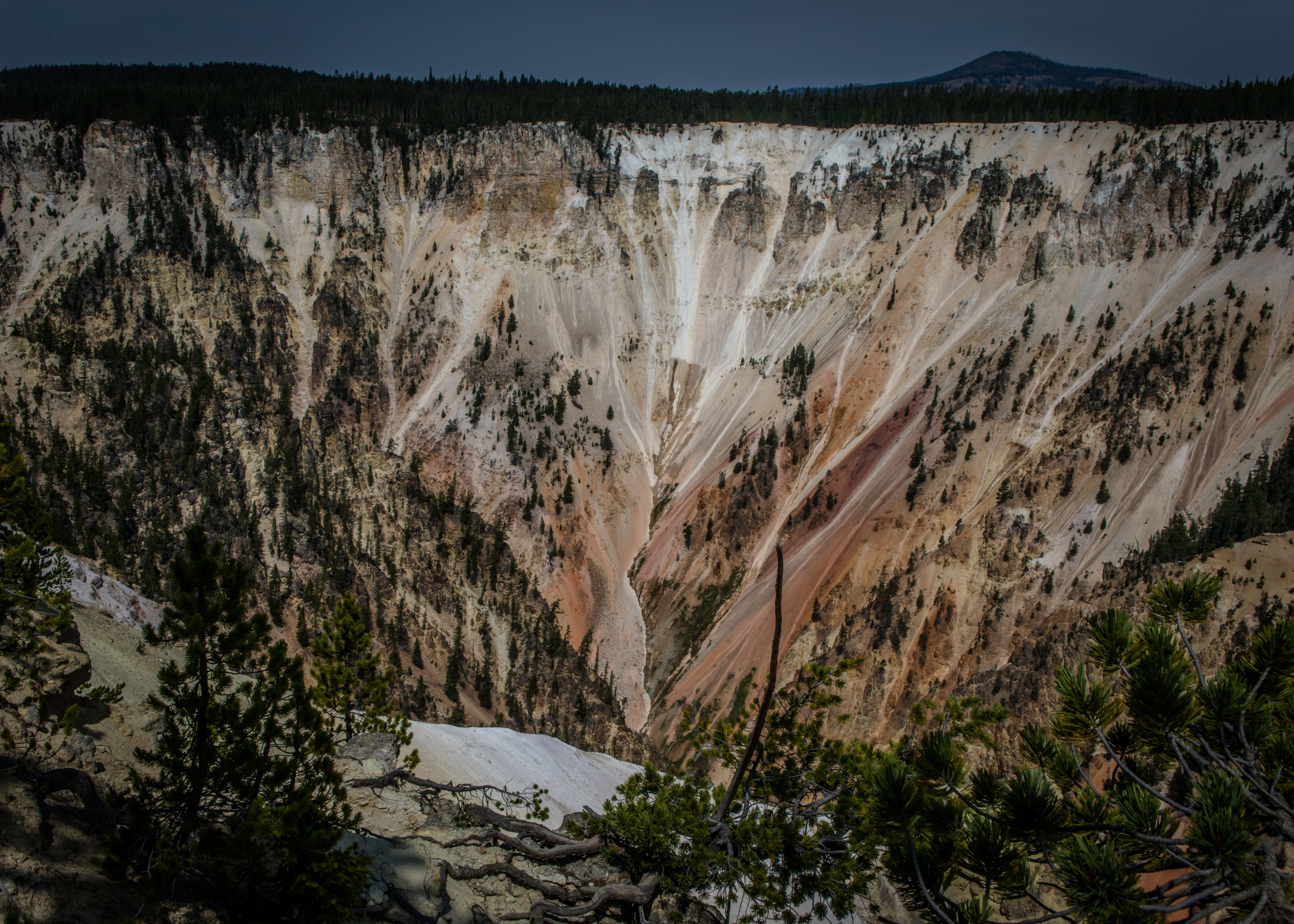
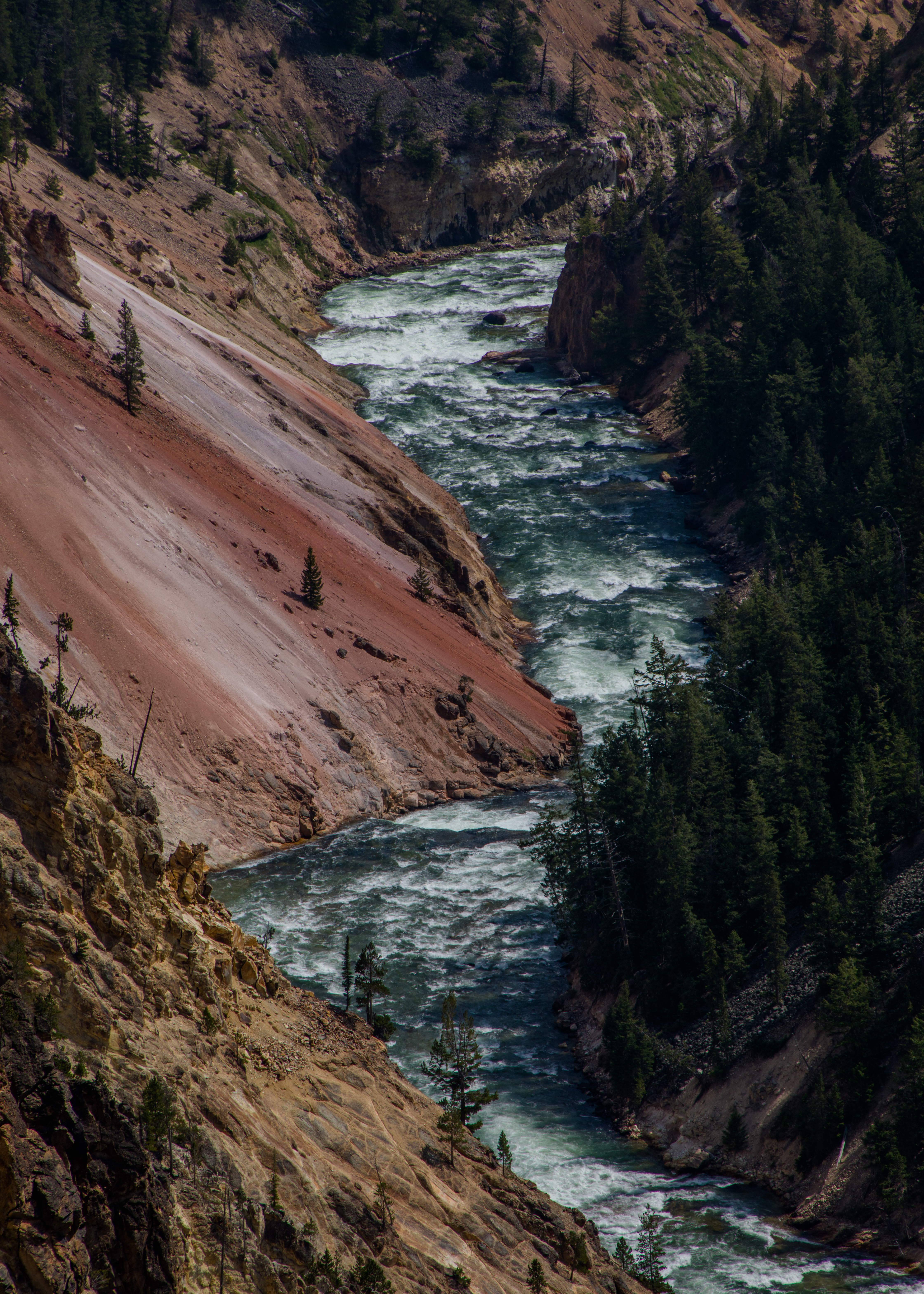
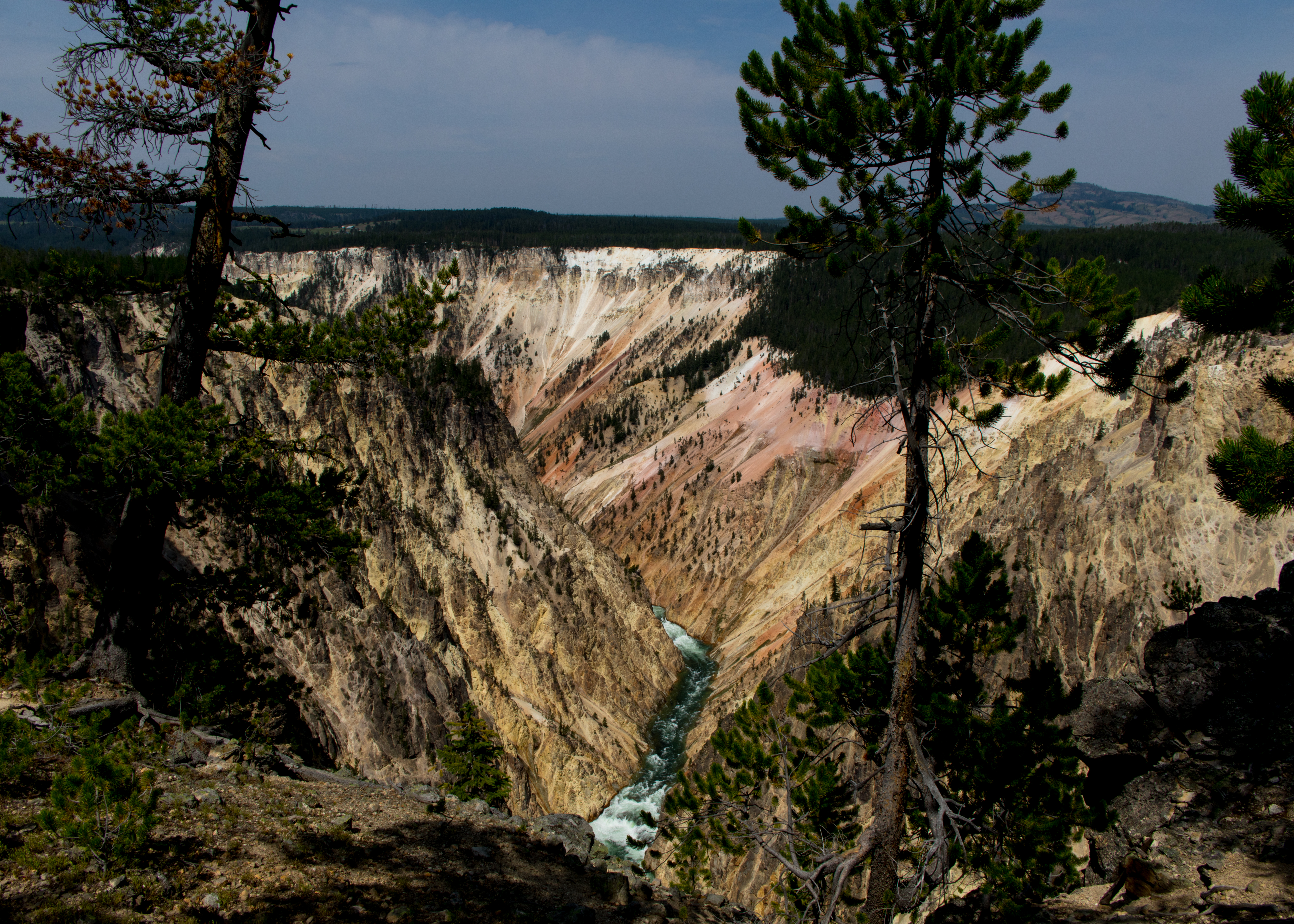
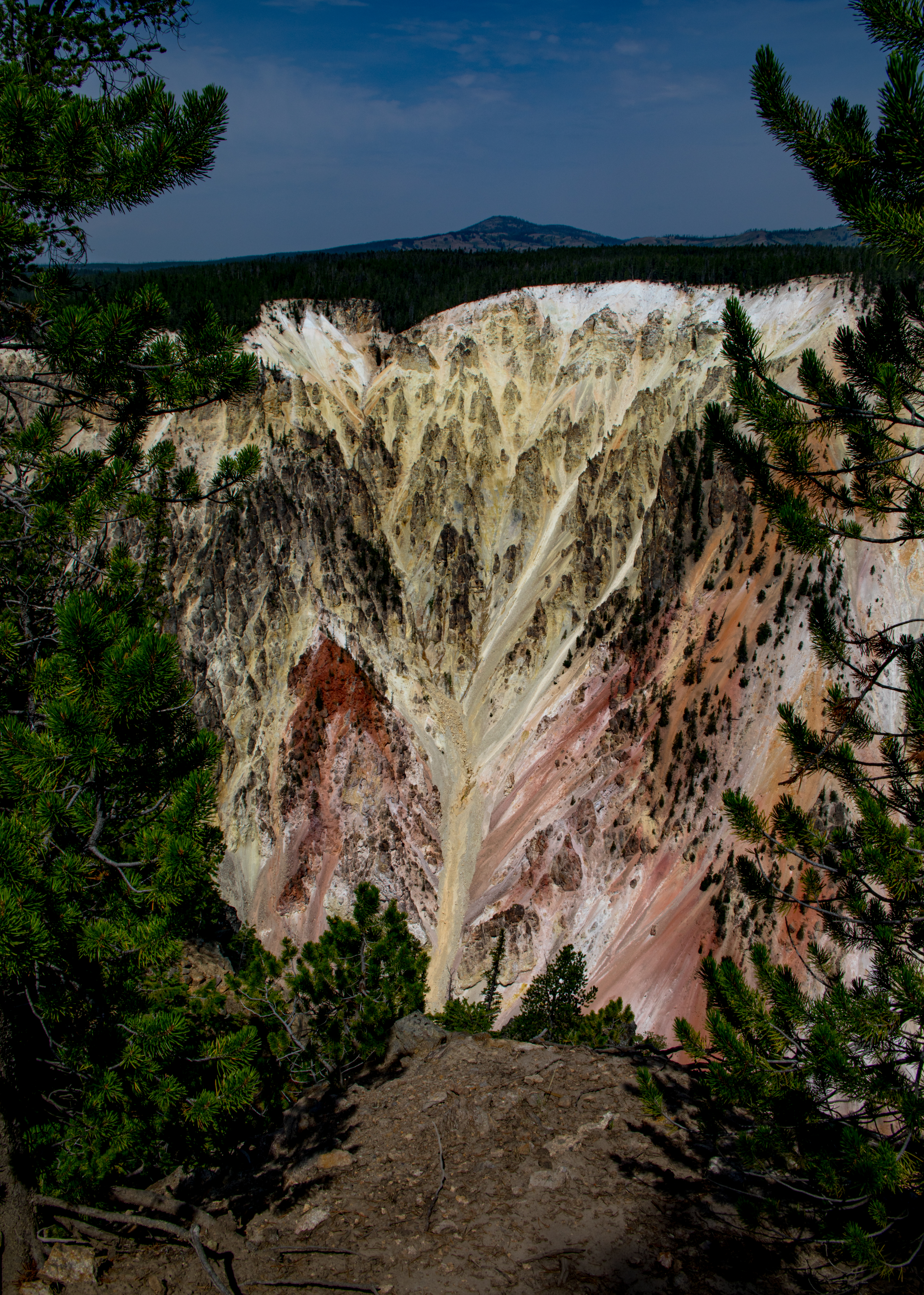
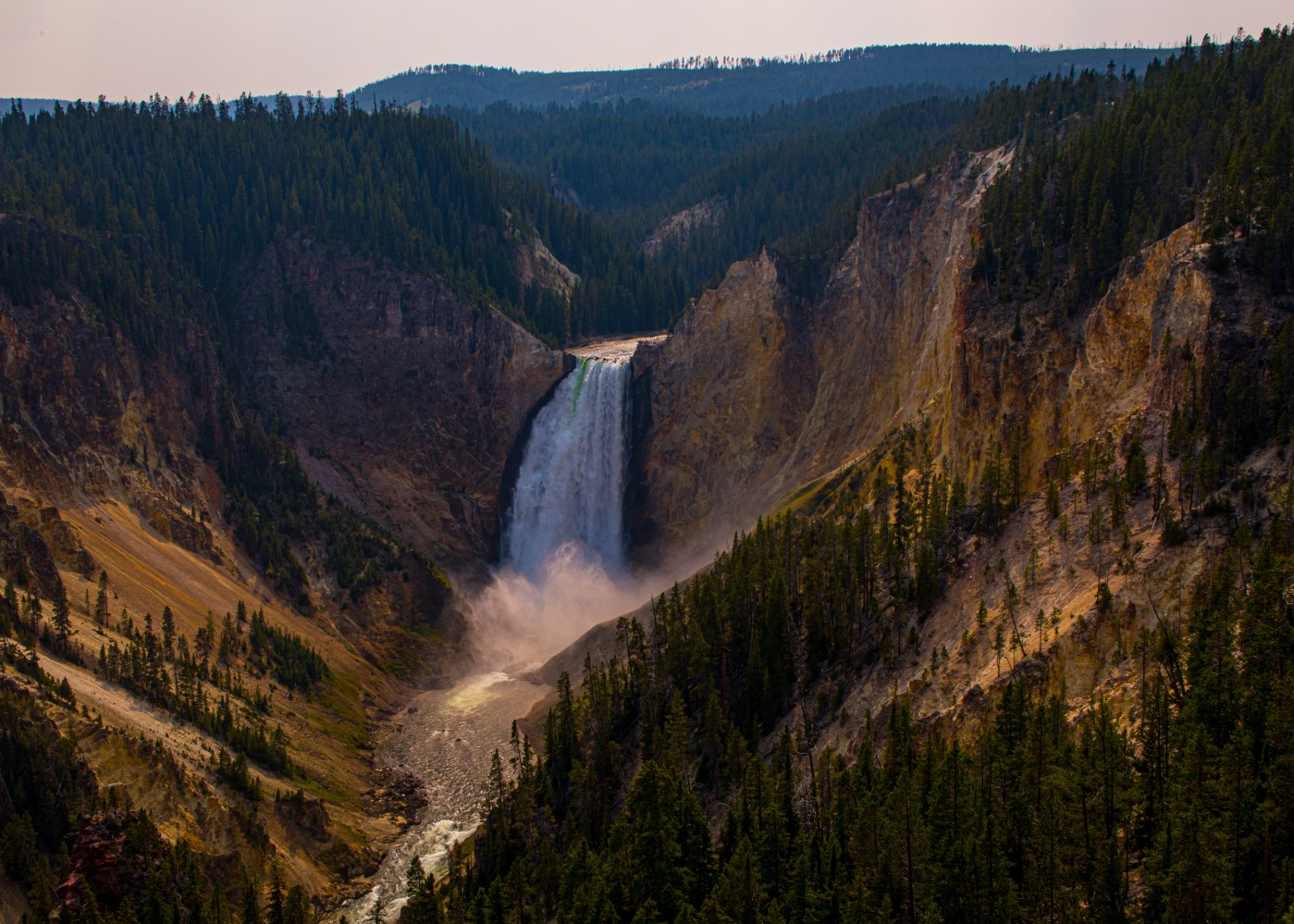
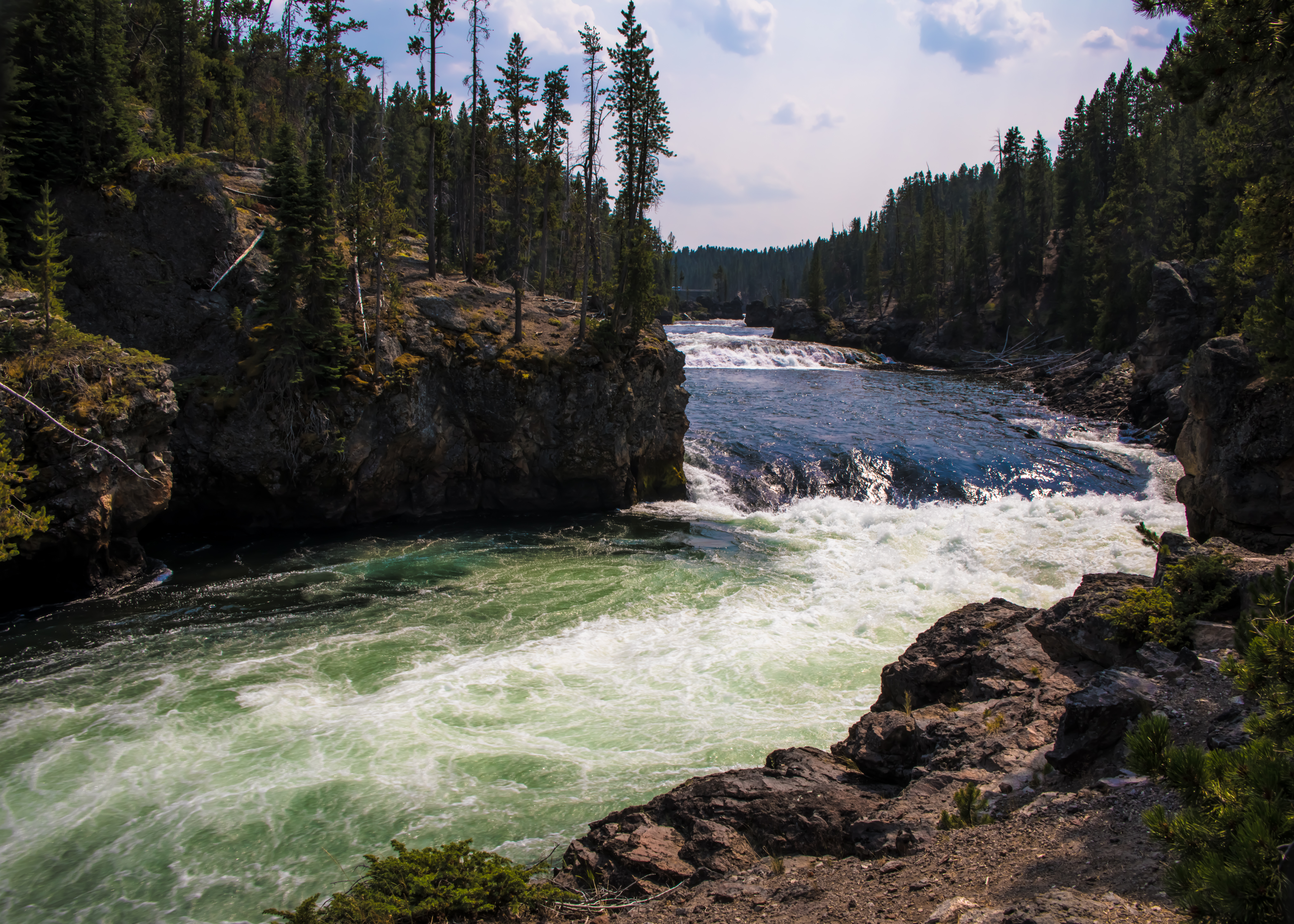
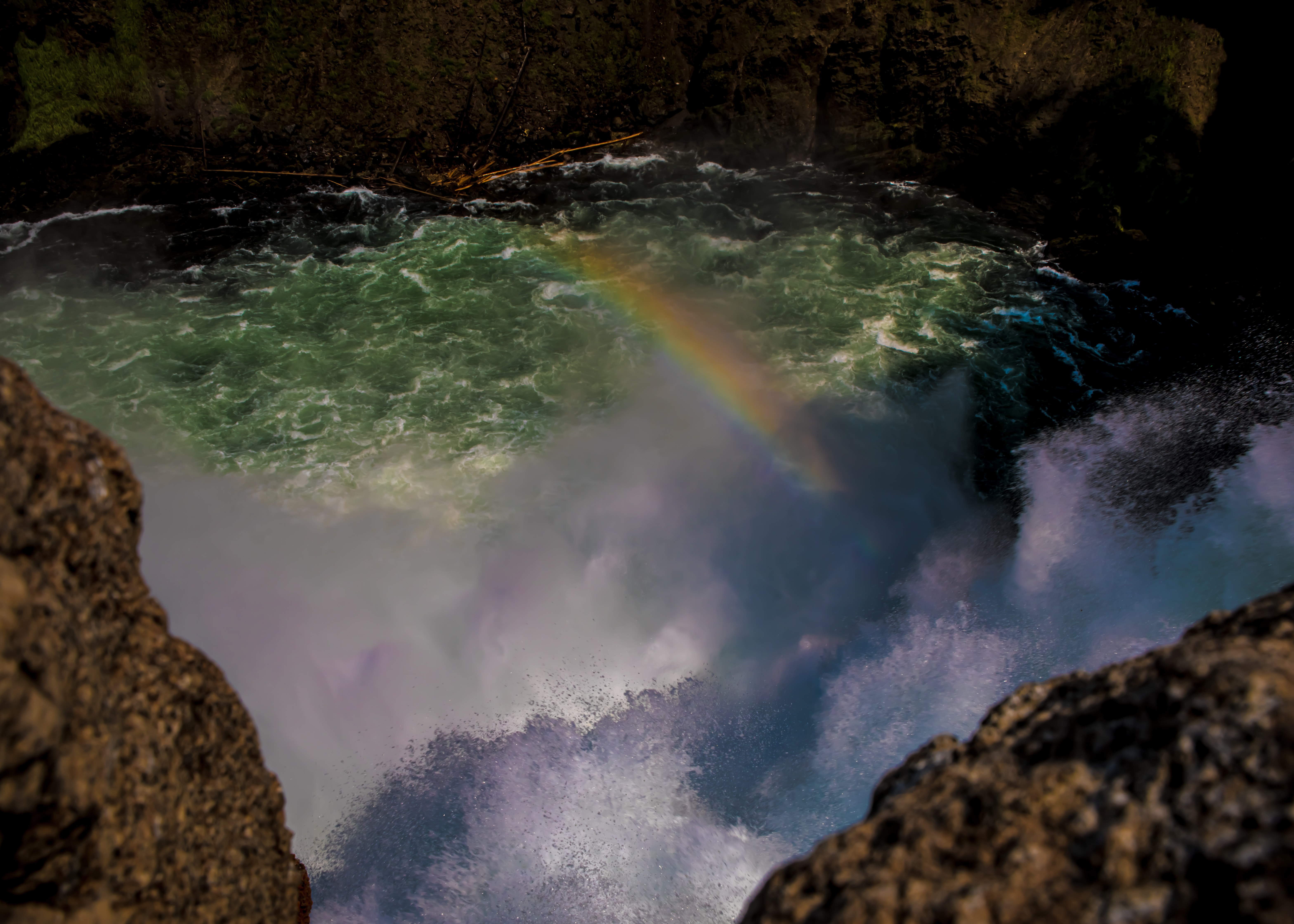
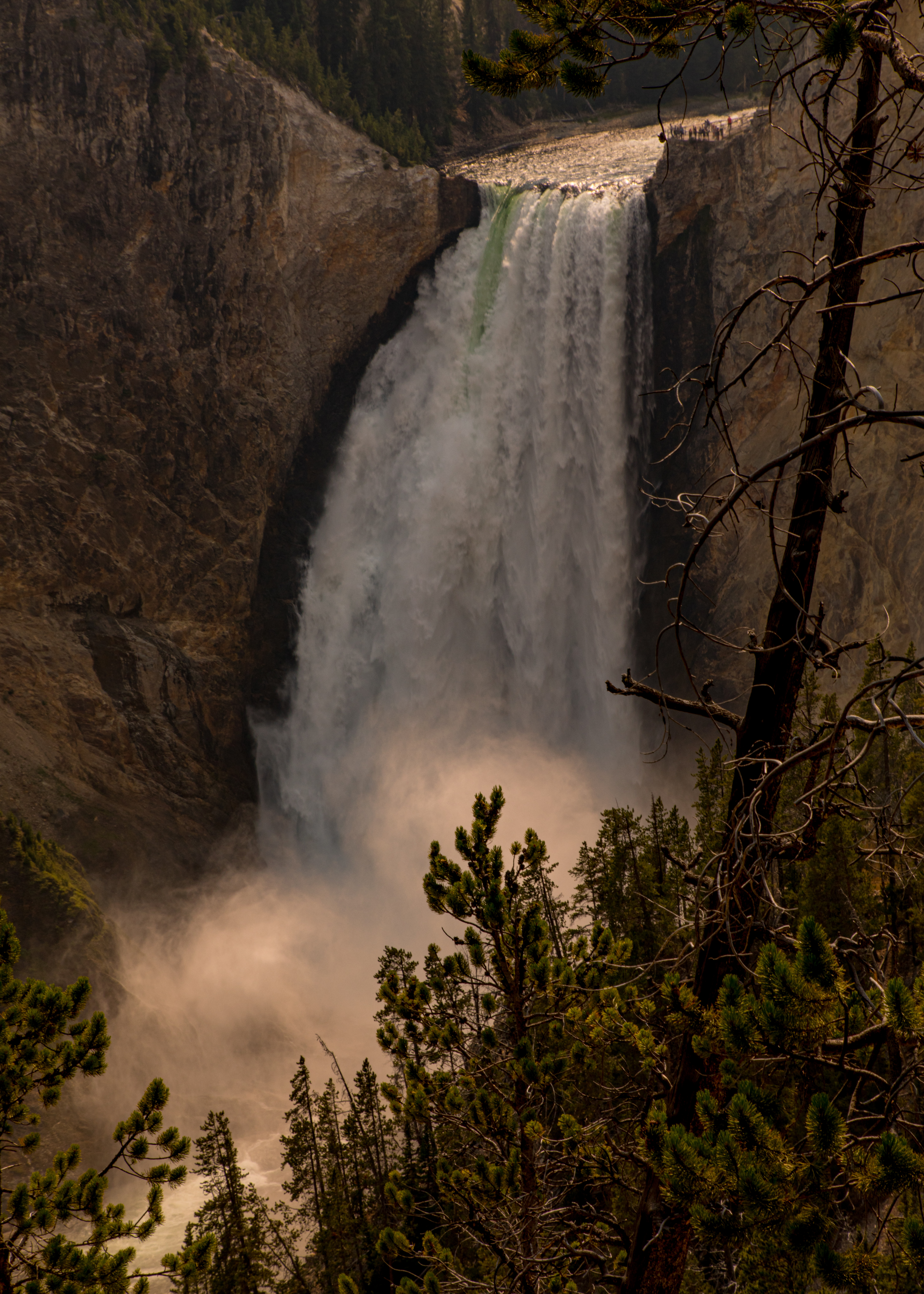
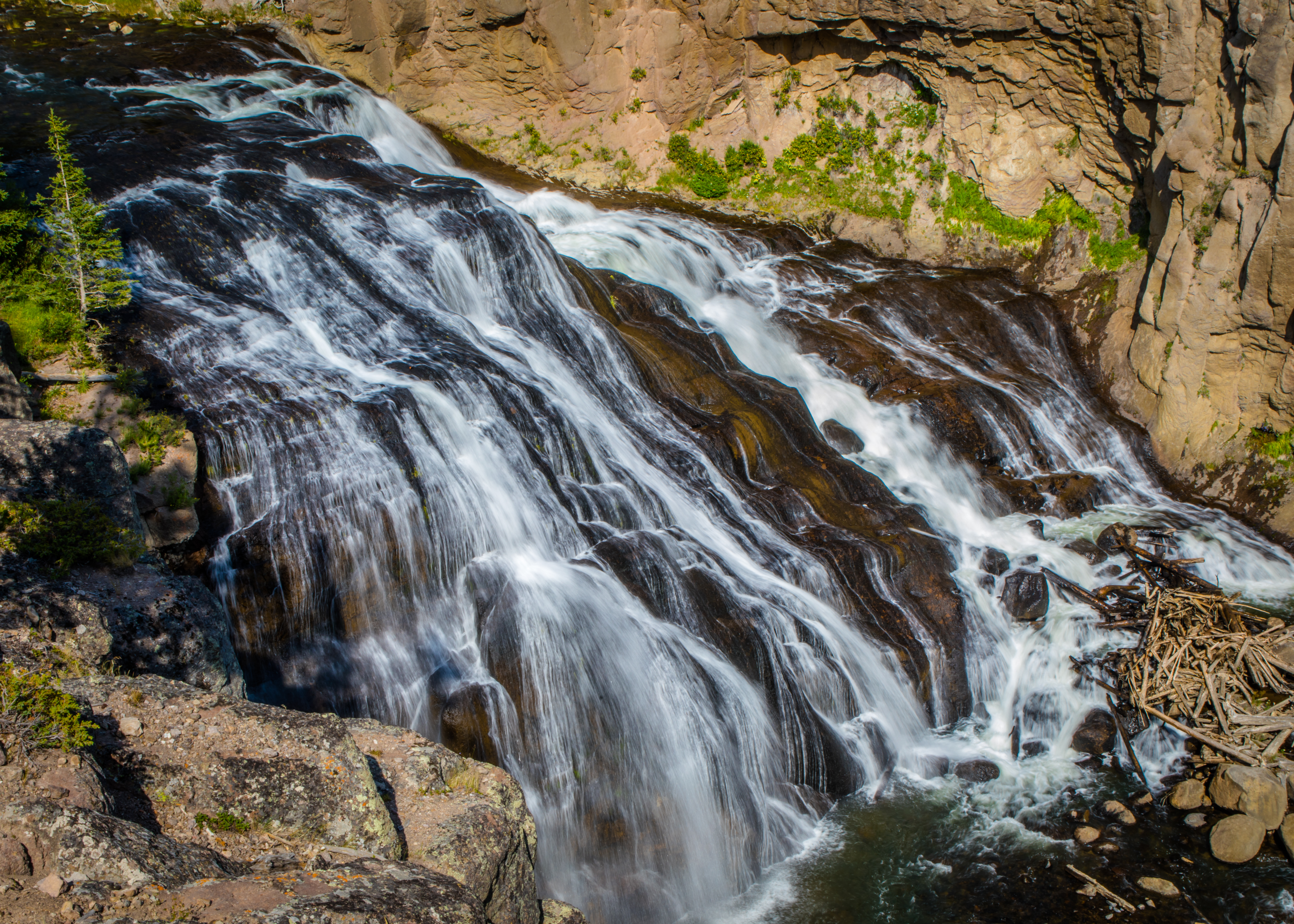
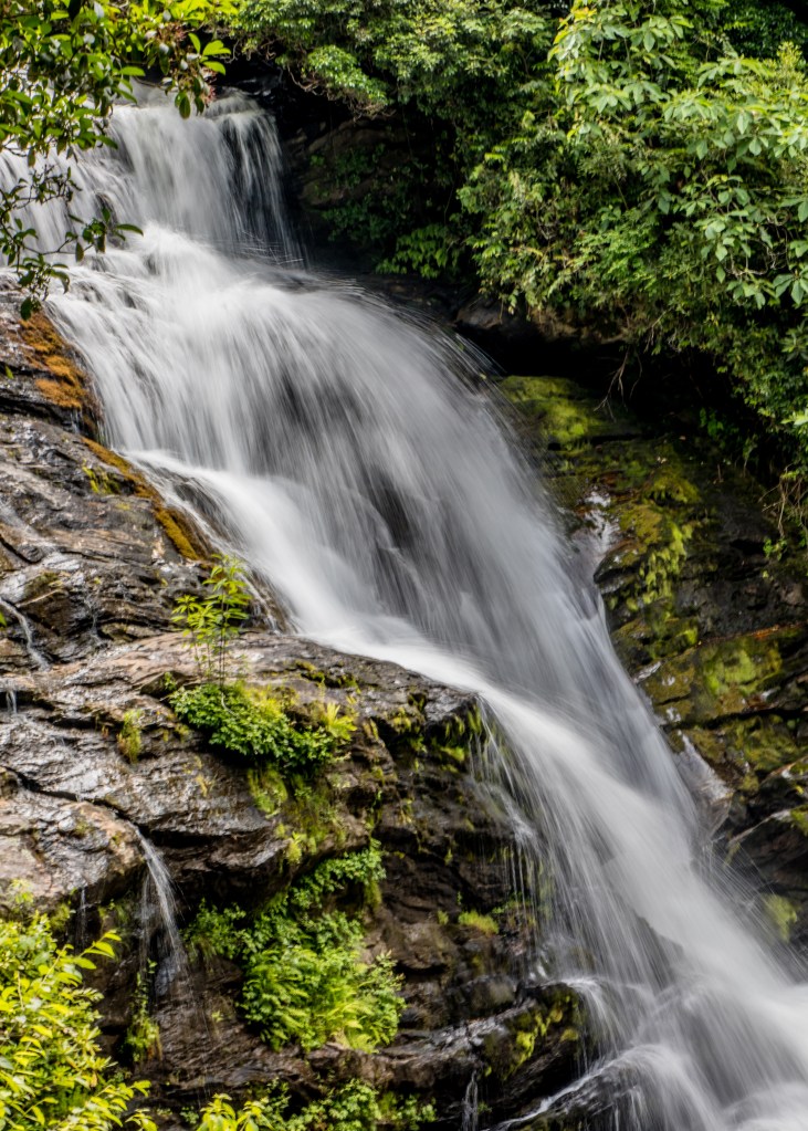
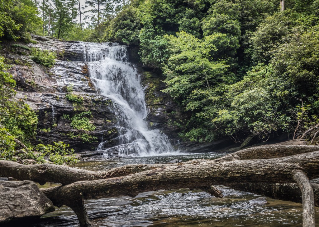
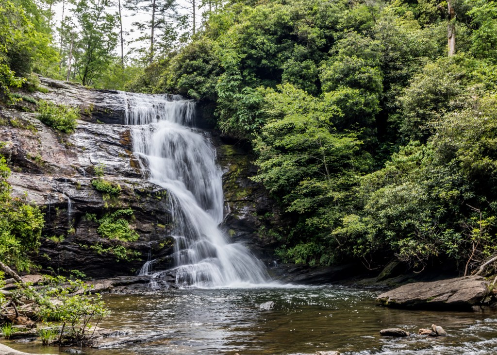
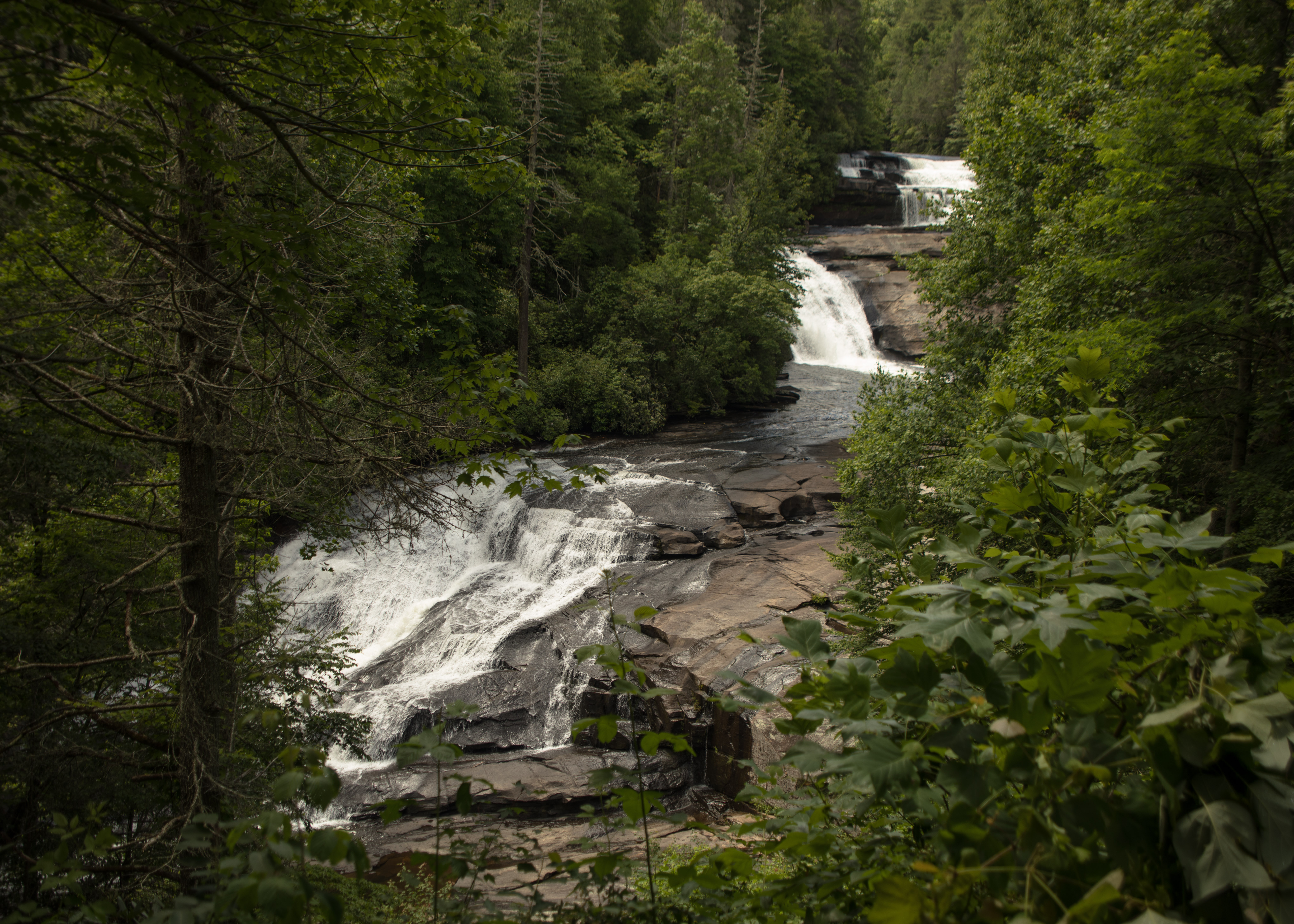
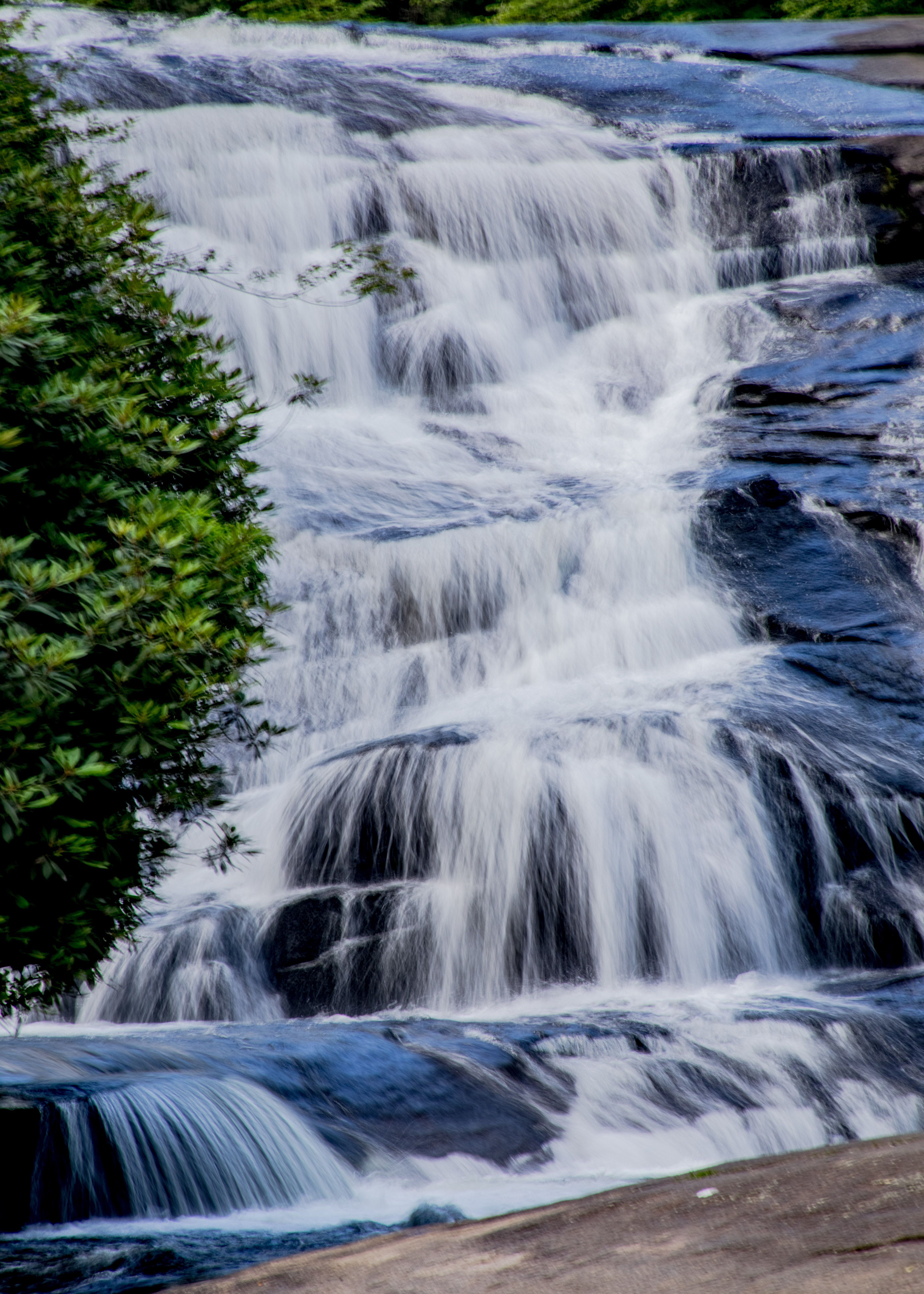
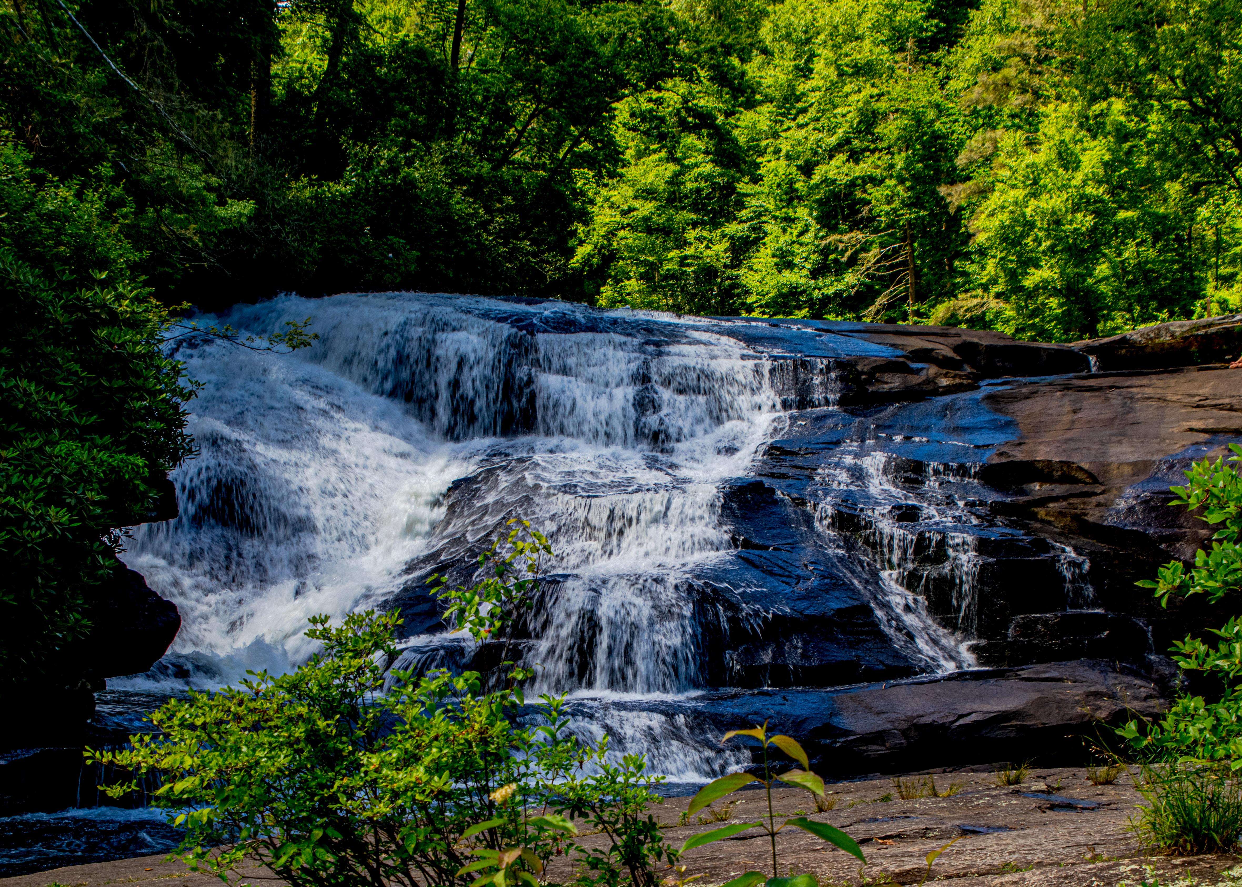
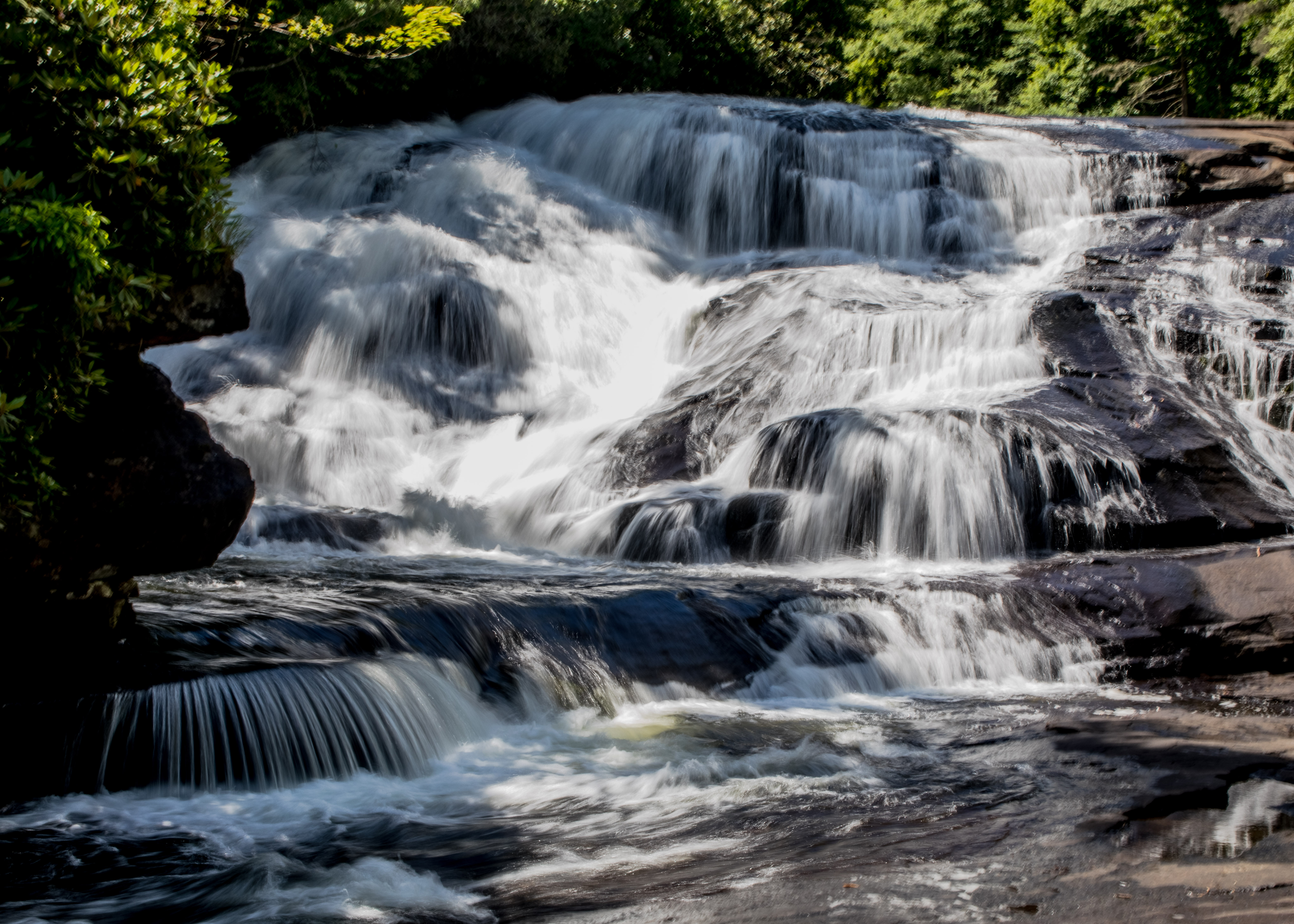
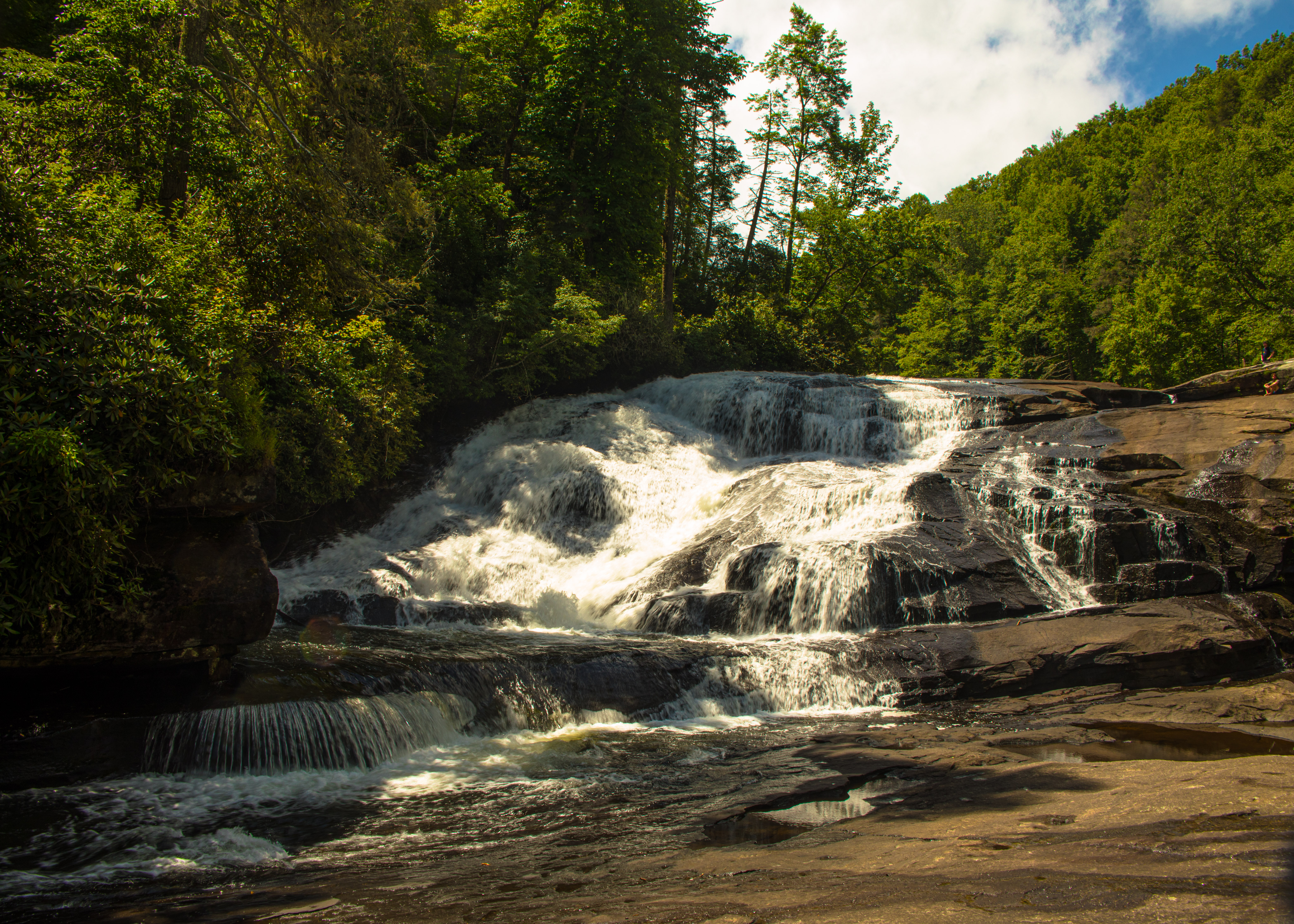
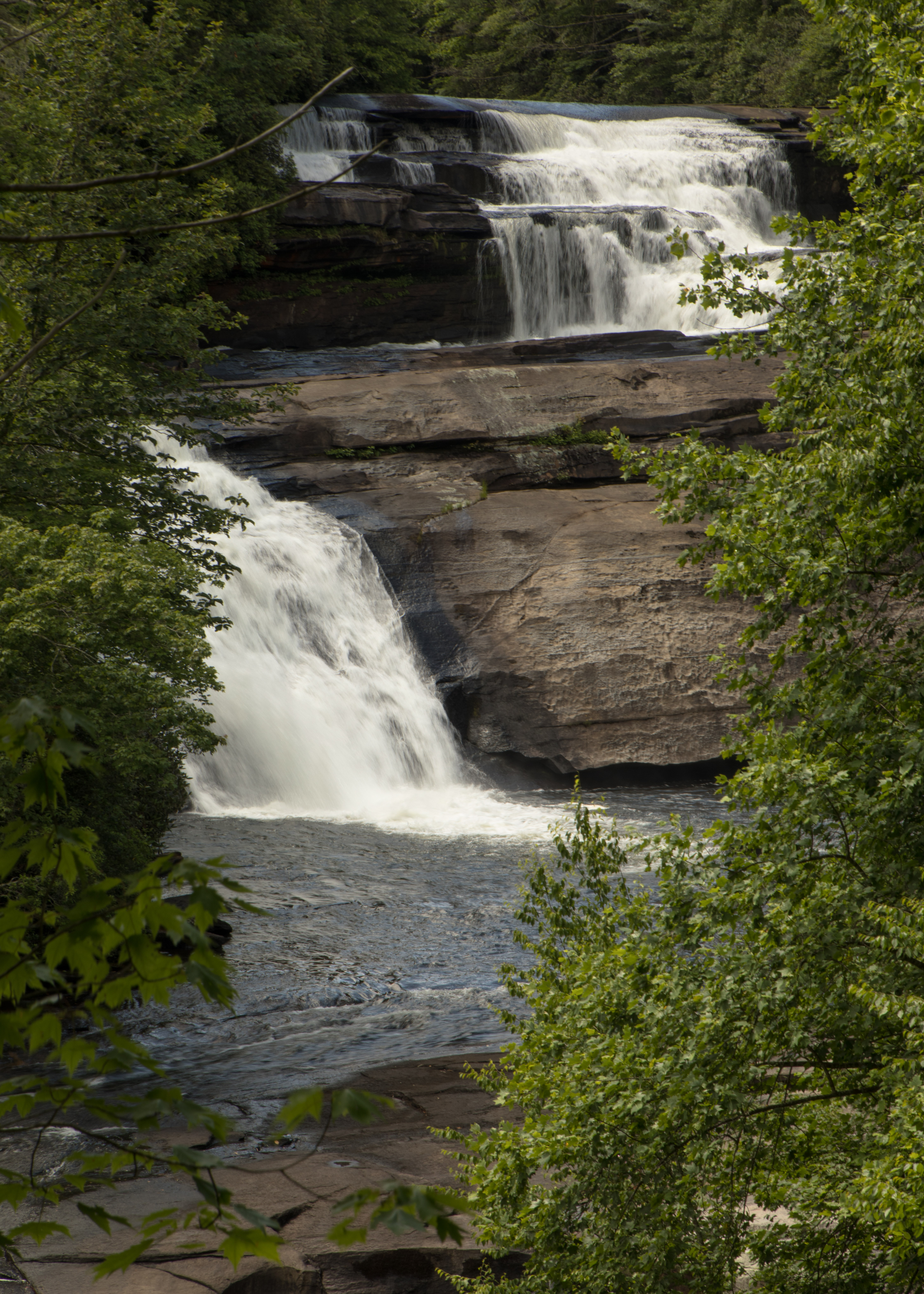
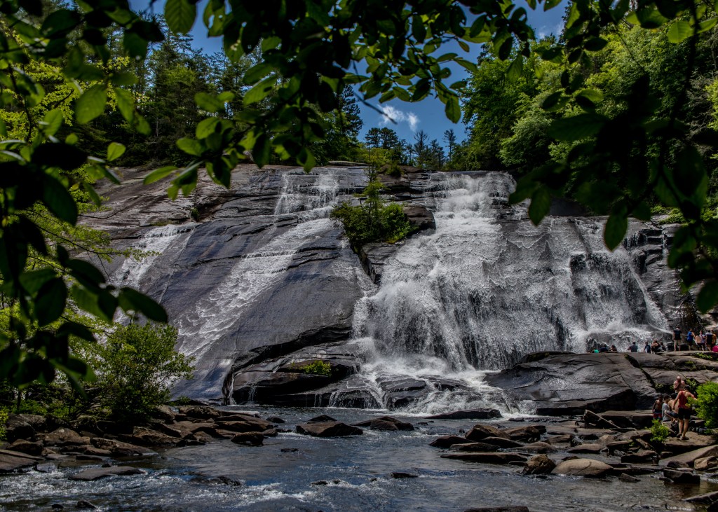
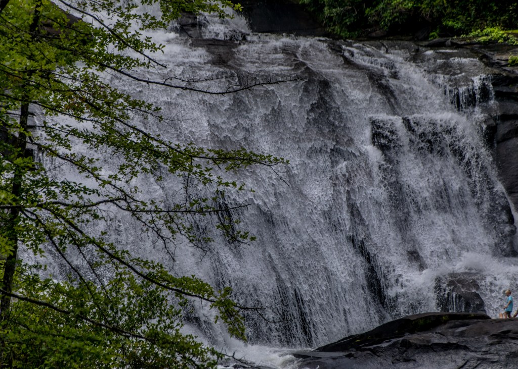
The Grand Canyon of the Yellowstone River begins at Upper Falls, cutting a 20-mile long, 1,000-foot deep gash across the park. We walked right up to the edge of the dramatic falls on Brink of the Upper Falls Trail and stare down the thundering 109-foot waterfall. A great view and along with it a rainbow.

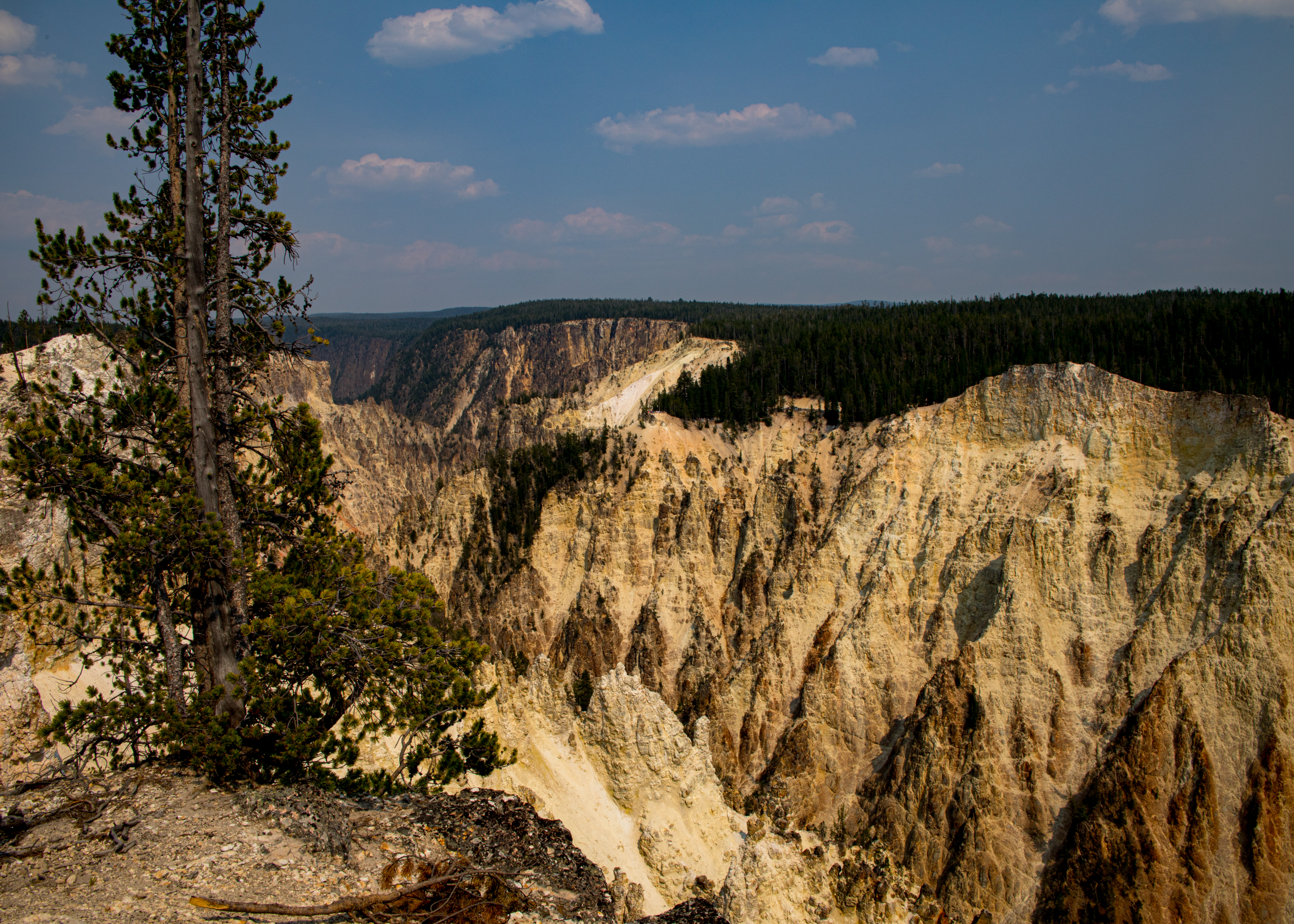
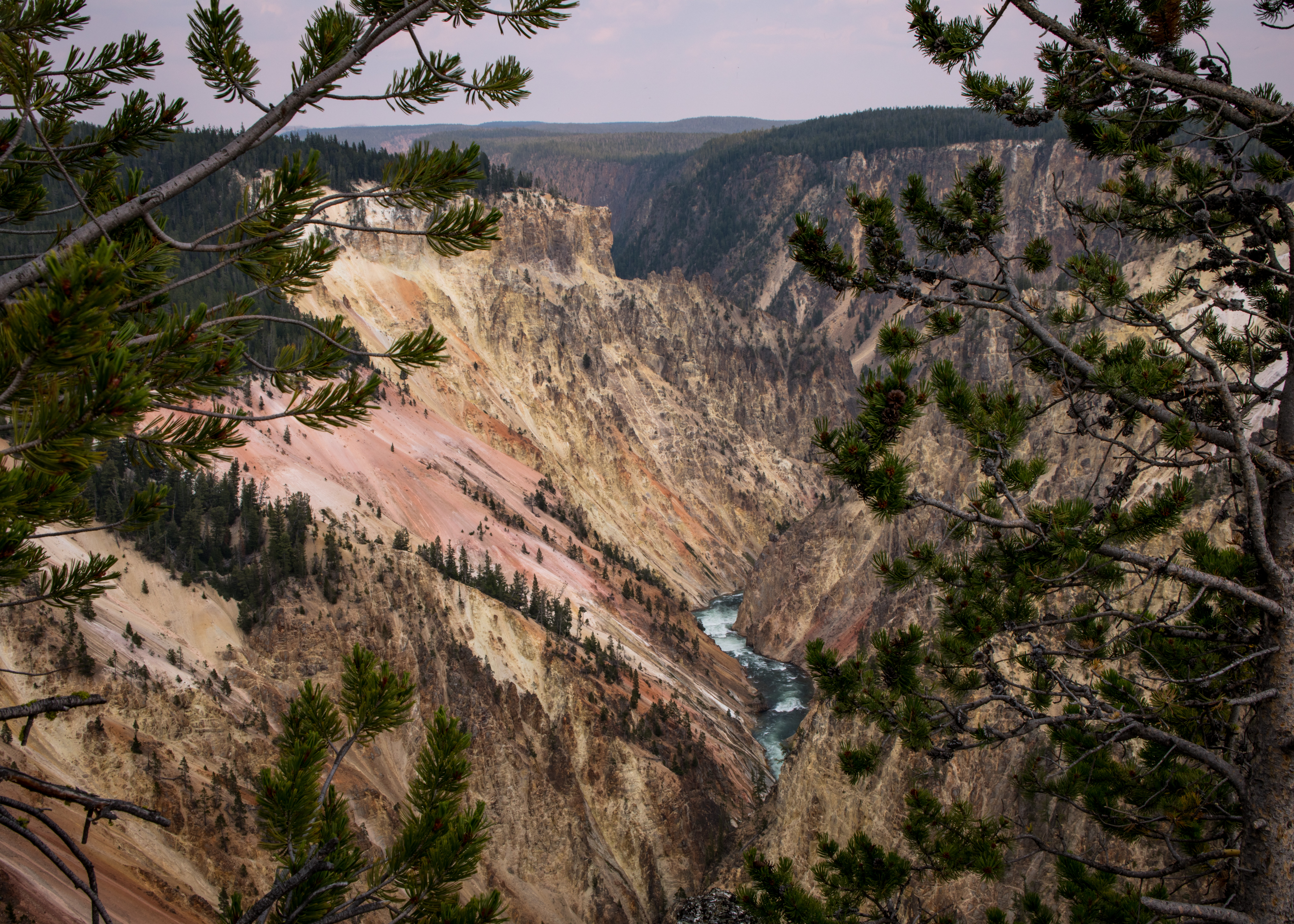
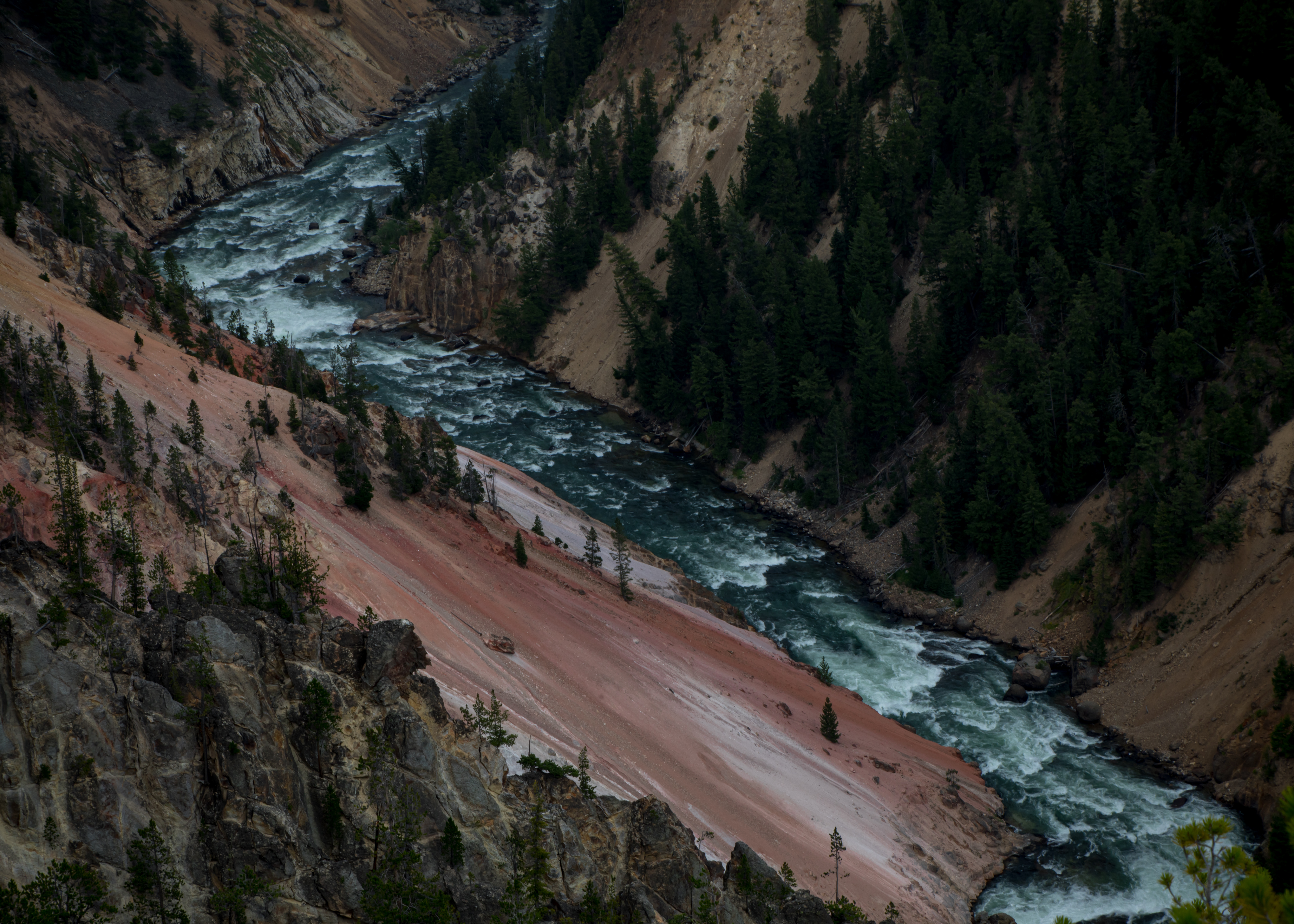
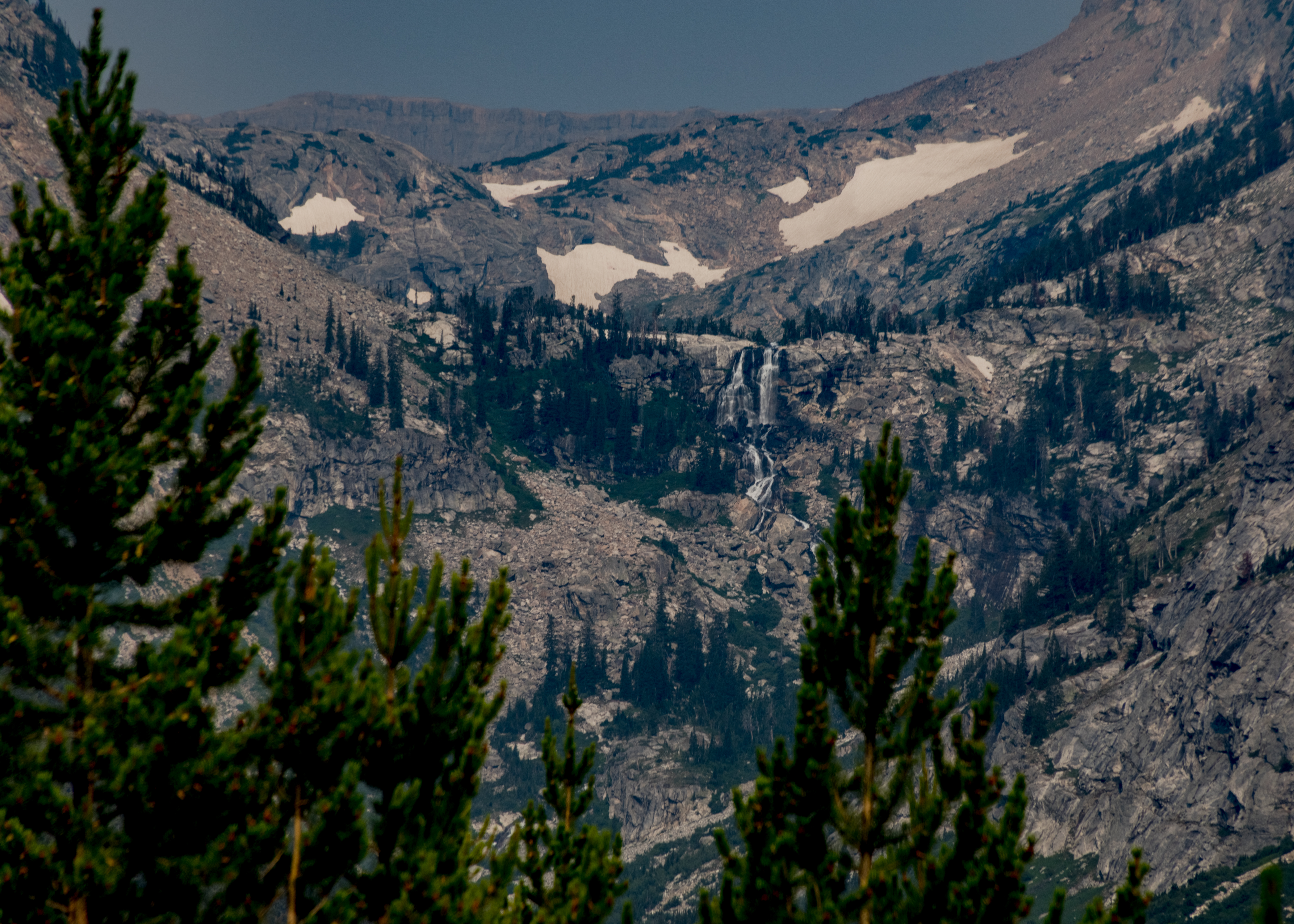
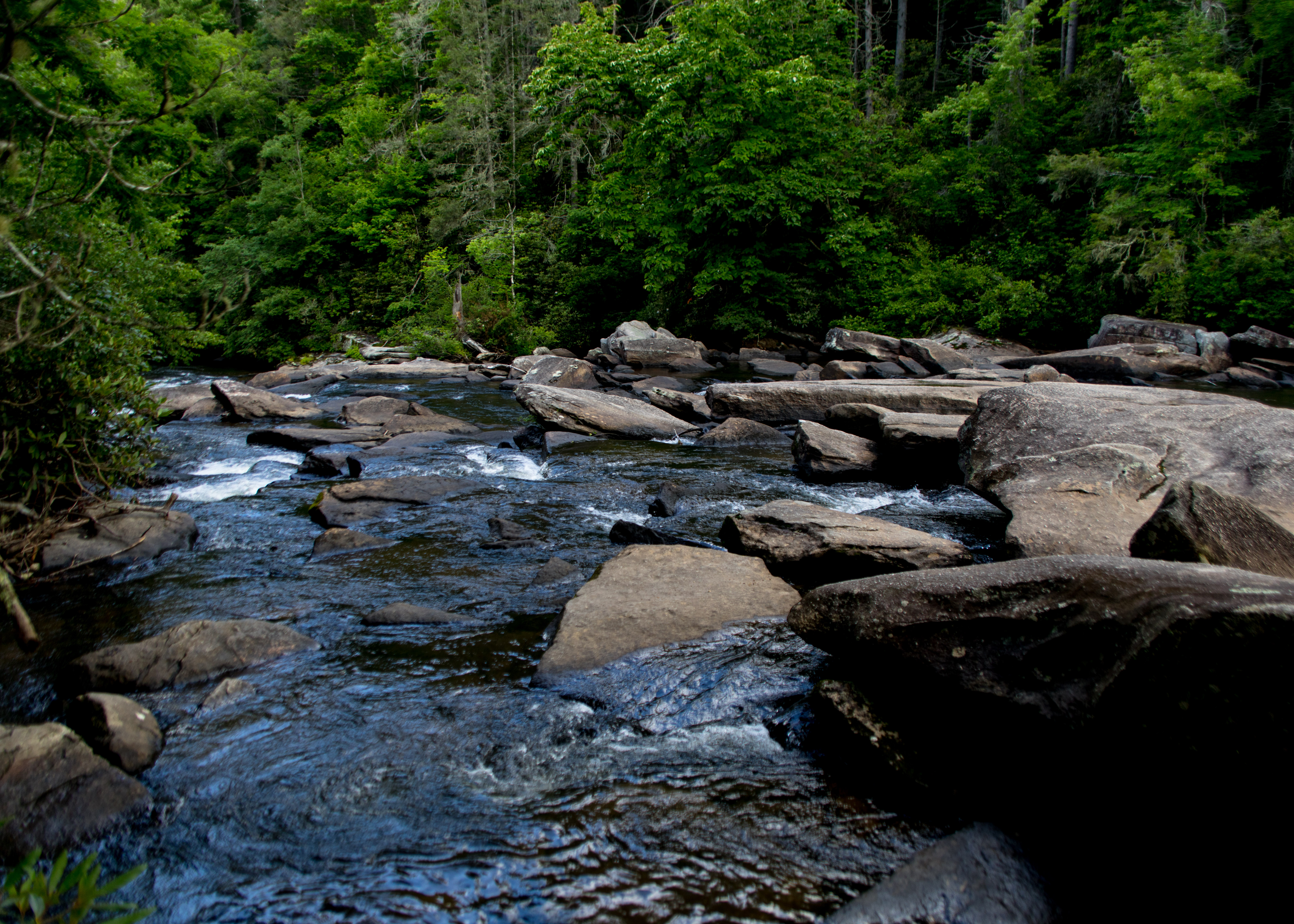
North Rim Trail – You can get numerous memorable views of the canyon by hiking along North Rim Trail, which stretches 3.8 miles over a paved and unpaved path crossing the northwest wall of the Grand Canyon of the Yellowstone. Some sections of North Rim Trail parallel North Rim Drive, a road that allows visitors to drive right up to some of the north rim’s exceptional overlooks. Away from the road, North Rim Trail crosses pristine pine forests perched atop precarious canyon walls. The trail connects several named and noteworthy viewpoints while passing unnamed views that stop you in your tracks – for photos of course. We hike out and back for about 6 miles then drove to Inspiration Point for our final stop before heading back to West Yellowstone for the night.

Grand Teton and Yellowstone NP – Day 4

Today we moved on to Yellowstone NP with early morning stops at Moose Falls and Lewis Falls (short hikes to get us going). Then on to our first geysers at West Thumb Geyser Basin – West Thumb Geyser Basin Trail is a 1-mile loop trail located on Yellowstone Lake. West Thumb Geyser Basin is one of the smallest geyser basins in Yellowstone yet its location along the shore of Yellowstone Lake ranks it as the most scenic. West Thumb derived its name from the thumb-like projection of Yellowstone Lake. It was also known as Hot Spring Camp. West Thumb has less geyser activity than other basins, but West Thumb, for its size, has it all – hot springs, pools, mud pots, fumaroles and lake shore geysers.

We then headed to the southwest section of the park to “Old Faithful” and the Upper Geyser Basin. Old Faithful can vary in height from 100-180 feet with an average near 130-140 feet. Eruptions normally last between 1.5 to 5 minutes. We arrived with an estimated 20 minutes till the next eruption, so we hiked around the observation loop getting interesting views of the old faithful geyser and the surrounding trail options to view the entire basin. We weren’t disappointed with the eruption, maybe 120 ft and about 4 minutes. We decided to do the full basin loop including Geyser Hill (about 5 miles). The basin has about 130 named geysers but a total of over 500.

Completing our day we drove to see the Lower Geyser Basin, walked the Fountain Paint Pots trail, viewed Gibbons Falls, walked the Artist Paint Pot trail – very full day – Finally the hour drive to West Yellowstone and our hotel and dinner.

Grand Teton and Yellowstone NP – Day 3

Today we hiked halfway around Jenny Lake (almost 4.5 miles) then a half a mile up to Hidden Falls (a 200 ft tiered waterfall) and then up a narrow trail with switchbacks to Inspiration Point @ (7200ft) with beautiful views of the entire lake.  We took the easy way back on a shuttle boat to Jenny Lake landing. After lunch and a little rest we then hiked around String Lake to Leigh Lake – a 3.5 mile walk in the woods with continuous views of the two lakes. After a pizza dinner we viewed Cunningham Cabin (the oldest structure in the park) before racing a thunderstorm back to our cabin.

Grand Teton and Yellowstone NP – Day 1 and 2

A little delayed in posting this trip – but here we go. Flew into Salt Lake City and picked up a rental car to drive to Jackson Hole and then on to our Cabin at Jackson Lake Lodge. Along the way we spotted our first wildlife that of a mother Moose and her baby crossing a field and jumping a fence – baby ducked through it. Never thought I would see a pickup full of antlers – second surprise of the day. We spent some time walking around Jackson Hole stopping by it’s famous town square. After dinner a late night arrival at the lodge.

On our second day we awoke to 40 degree weather and a very poor view of the Tetons do to western wildfire smoke. We were here to hike and show our grandson the parks highlights – so off to do a 6 mile hike combining the Bradley and Taggart Lake trails. We were able to escape the crowds by hiking to Bradley then looping back and around Taggart – most only hike to Taggart.

To complete our day we first visited Menors Ferry District. Bill Menor built the original ferryboat and cableworks. The ferry is a simple platform set on two pontoons. The district also houses the Chapel of the Transfiguration. The chapel was sited and built to frame a view of the Cathedral Group of peaks in a large window behind the altar. Then on to Mormon Row – homesteaders established 27 homesteads in the area because of relatively fertile soil, shelter from winds by Blacktail Butte and access to the Gros Ventre River. Two well photographed structures remain — Moulton Barn and Chambers Homestead. Heading back to our cabin we passed several herds of Bison and just for fun drove the Signal Mountain Road — The road is a five mile, 1,000 foot climb of switchbacks to an observation area at the top of Signal Mountain. Set far apart from the next highest mountain peak, Signal Mountain provides views of the Tetons’ towering peaks ( not so much in the smog), the flat glacial plains below, Jackson Lake and the Snake River beyond.

Hiking Waterfall Trails in Western North Carolina – June 2021 – Day 3

Crimshawes Post Office: While driving to todays trailhead we passed the smallest US post office building.

Connestee Falls: a roadside falls

  • We hiked the Panthertown Valley Trail, Wilderness Falls Trail and Deep Gap Trail to view the following falls. The first falls was Wilderness Falls:

Then to Frolictown Falls:

Finally Granny Burrell Falls:

Hiking Waterfall Trails in Western North Carolina – June 2021 – Day 2

Secret Falls Trail: Secret Falls (also known as Big Shoals Falls) is a 50-ft. waterfall on Big Creek that cascades into a serene pool, deep in the Nantahala National Forest near the Georgia state line.

It’s an easy half-mile hike, but there are no signs to the parking area. So, this remote area is mostly visited by locals. The trail is blazed with blue rectangles on trees and is easy to follow. There’s one lone stake in the small parking area at the start of the trail that says “Secret Falls.” There are two easy creek crossings (one has a log bridge), a brief uphill section and a series of stairs after you reach the falls area.

Silver Run Falls:

Silver Run Falls in the Nantahala National Forest is just four miles south of Cashiers in Jackson County. This 25-ft. waterfall cascades into a tranquil pool with a small beach area. It’s a short walk (about 1/4-mile) on a mostly level trail and across a bridge over the headwater of the Whitewater River. There are a couple of observation points along the shore to soak in the views of Silver Run Falls. And many rocks where you can step across to get a different angle.

Hiking Waterfall Trails in Western North Carolina – June 2021 – Day 1

We had the opportunity for a quick getaway to the Cashiers NC area the last week of June and jumped on it. Beautiful area, great dining and cool weather, a nice relief from the a hot and humid stretch in northeast Florida.

Triple Falls: Three thundering waterfalls spill in succession, tumbling and cascading from wide, blocky rock ledges. Tall trees frame the waterfalls in lush, green beauty. It’s one of North Carolina’s most popular waterfalls, and for a good reason: with three waterfalls in such a short stretch of river, Triple Falls is a gorgeous hike. And movie buffs, it’s no coincidence that these waterfalls might look familiar: the waterfall was a former filming location for The Hunger Games and The Last of the Mohicans.

High Falls: High Falls in DuPont State Recreational Forest is a gorgeous 150-ft. tall waterfall. Getting there take the 2-mile High Falls Loop which includes Triple Falls also. 

Vizcaya Museum and Gardens – 5/2/2021

While spending a week at a timeshare in Doral FL we made a day trip to Vizcaya located between Miami and Coconut Grove. Named after one of the most captivating shorelines on the Spanish coast, Vizcaya Museum & Gardens captures jaw-dropping European extravagance in an enchanting American context. The home’s builder, James Deering, was a prolific industrialist (International Harvester) who explored uncharted territory in the creation of this ambitious home, planting his Renaissance-inspired estate at the heart of Miami’s tropical hardwood hammock. Although inspired by the earlier architectural style, the home was very innovative in it’s incorporation of the modern technology available at the time of it’s construction (1914), including everything from details on how the structure itself was built to the incorporation of modern touches such as a telephone switching system and a central vacuum system. Though he only wintered at Vizcaya from 1916 to 1925, upon James’s departure, the estate was left to his half-brother Charles. Deering’s adventurous spirit lives on to this day. The estate’s very emblem – “The Caravel” – commemorates a ship used during the “Age of Exploration.” As you begin your own exploration of this historic Miami icon, you’ll notice an image of the mythical voyager “Bel Vizcaya” at the entrance, marking the beginning of a most memorable journey ahead. ( https://www.miamiandbeaches.com/thing-to-do/attractions/vizcaya-museum-and-gardens/2025)

Blog at WordPress.com.

Up ↑