Search

Travelling Photographer

Photos and commentary from my travels around the globe

Category

Hikes

Grand Teton and Yellowstone NP – Day 1 and 2

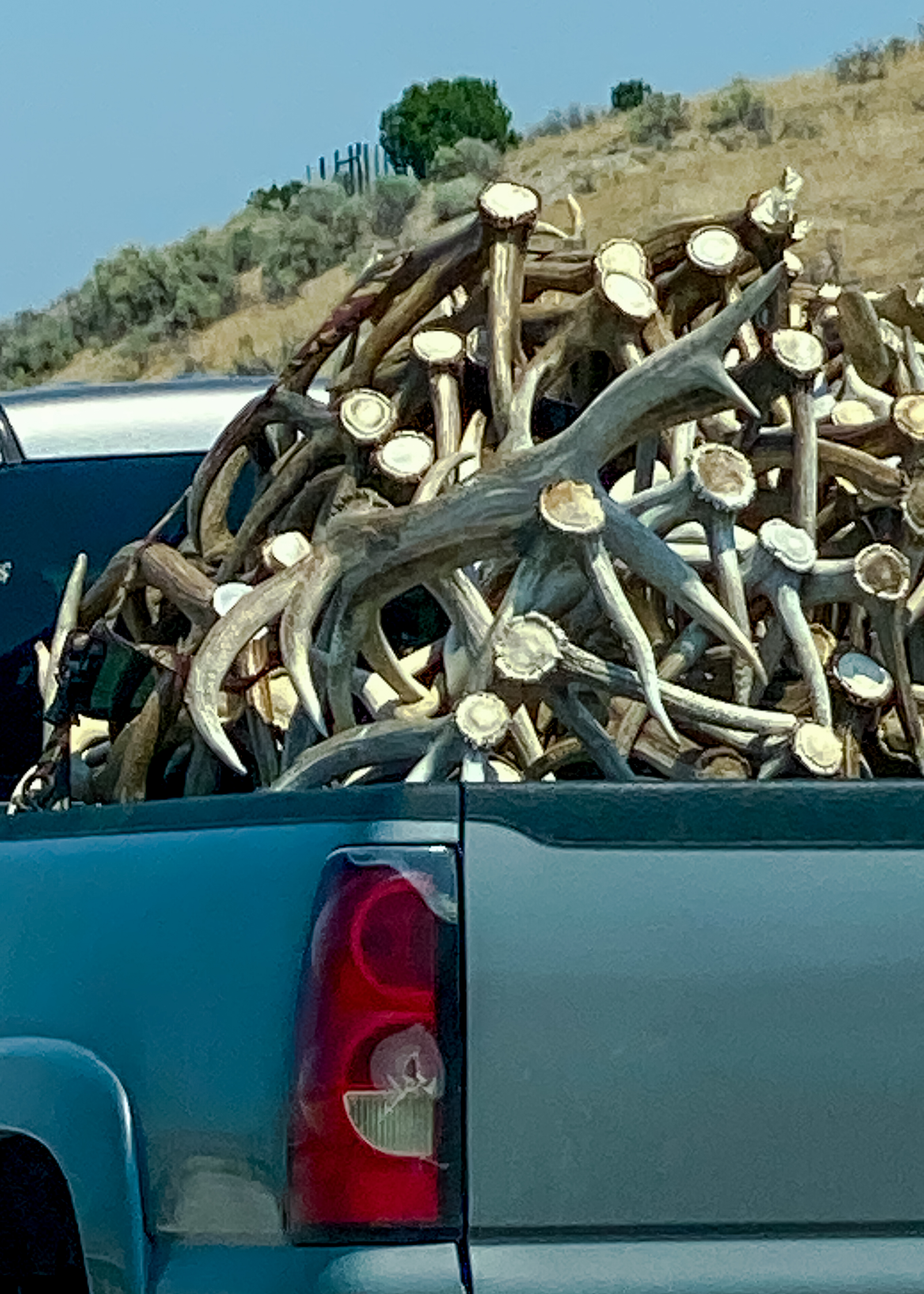
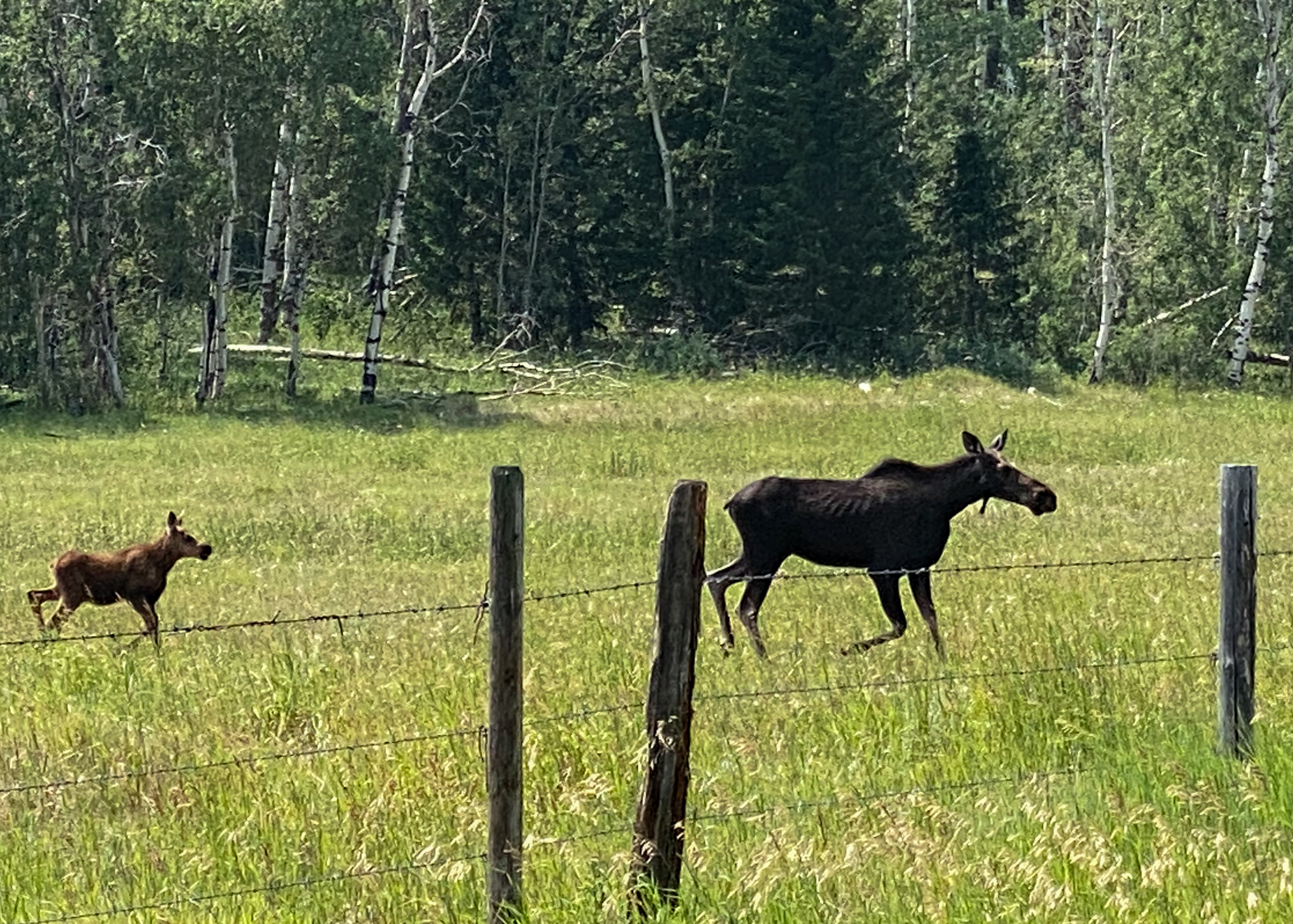
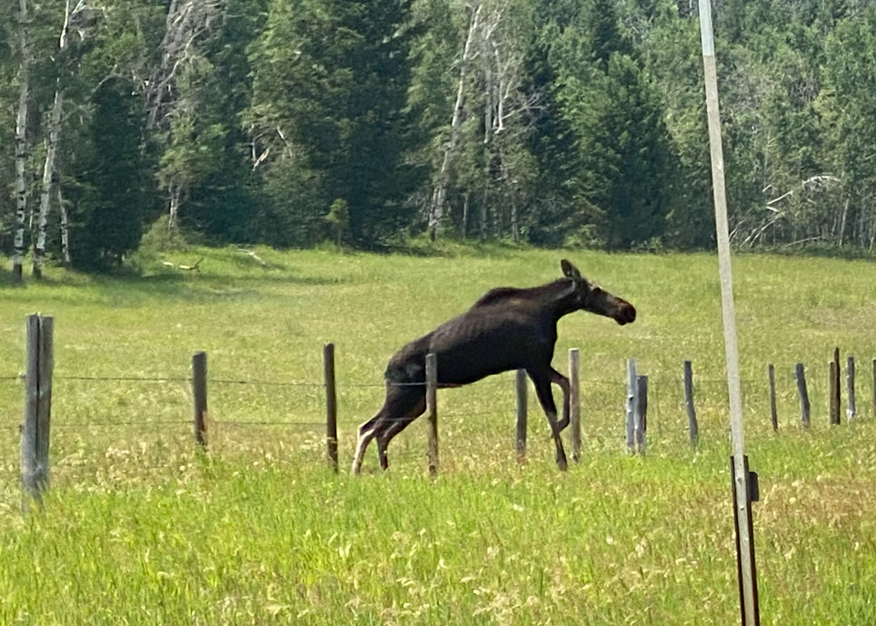
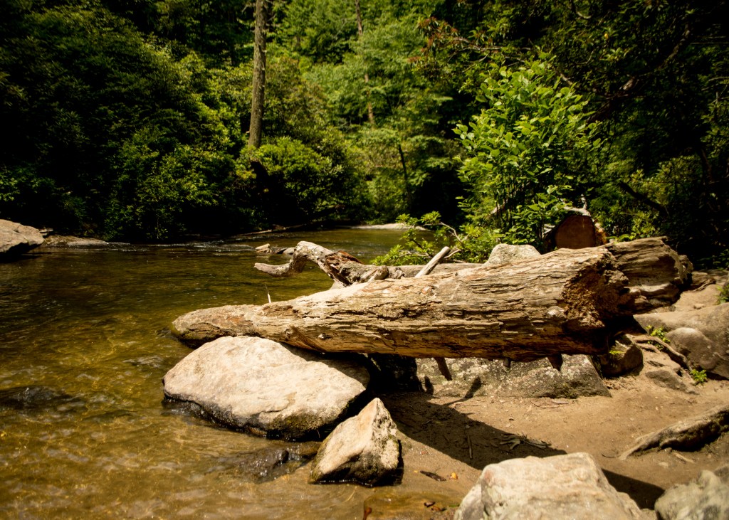
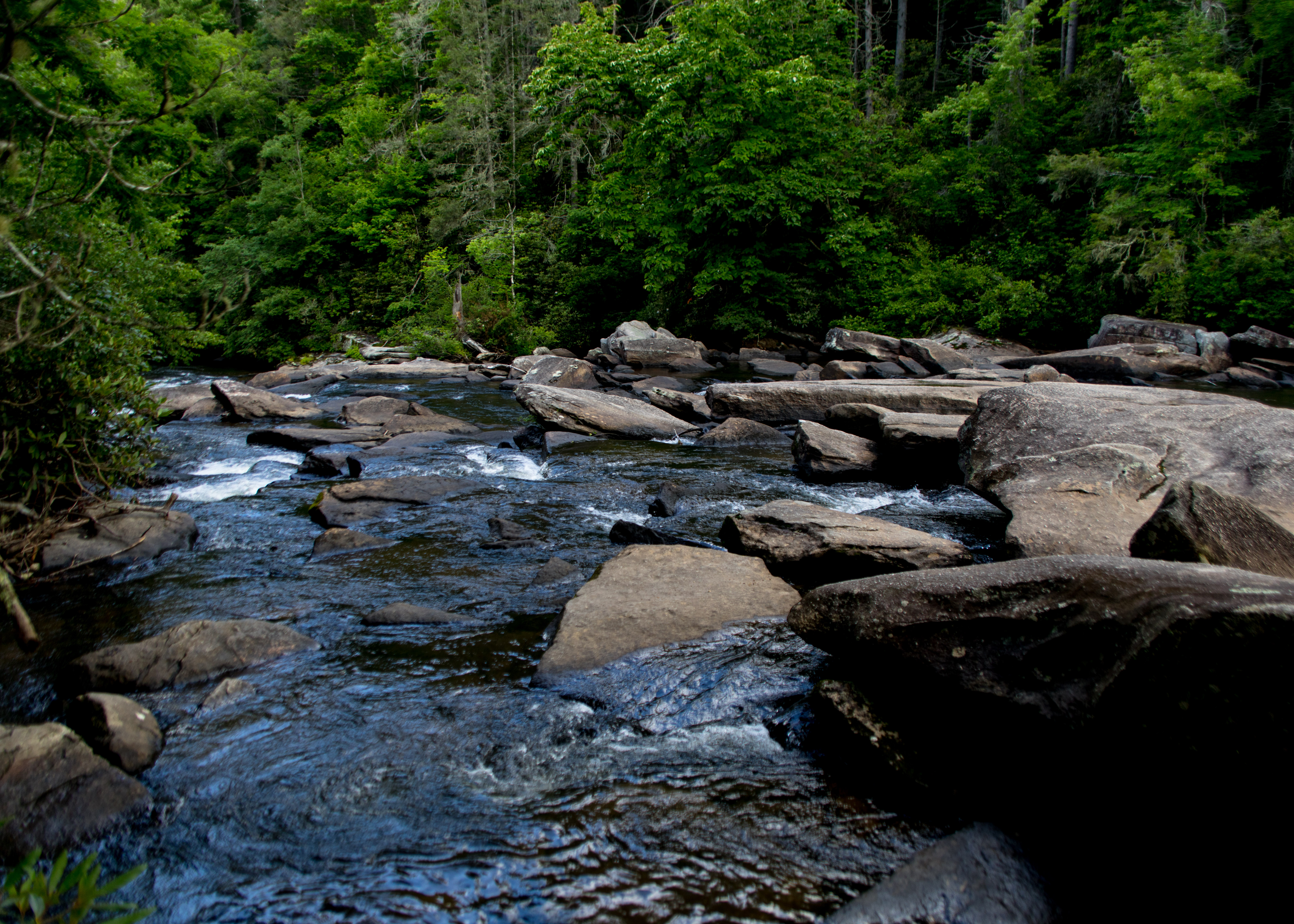
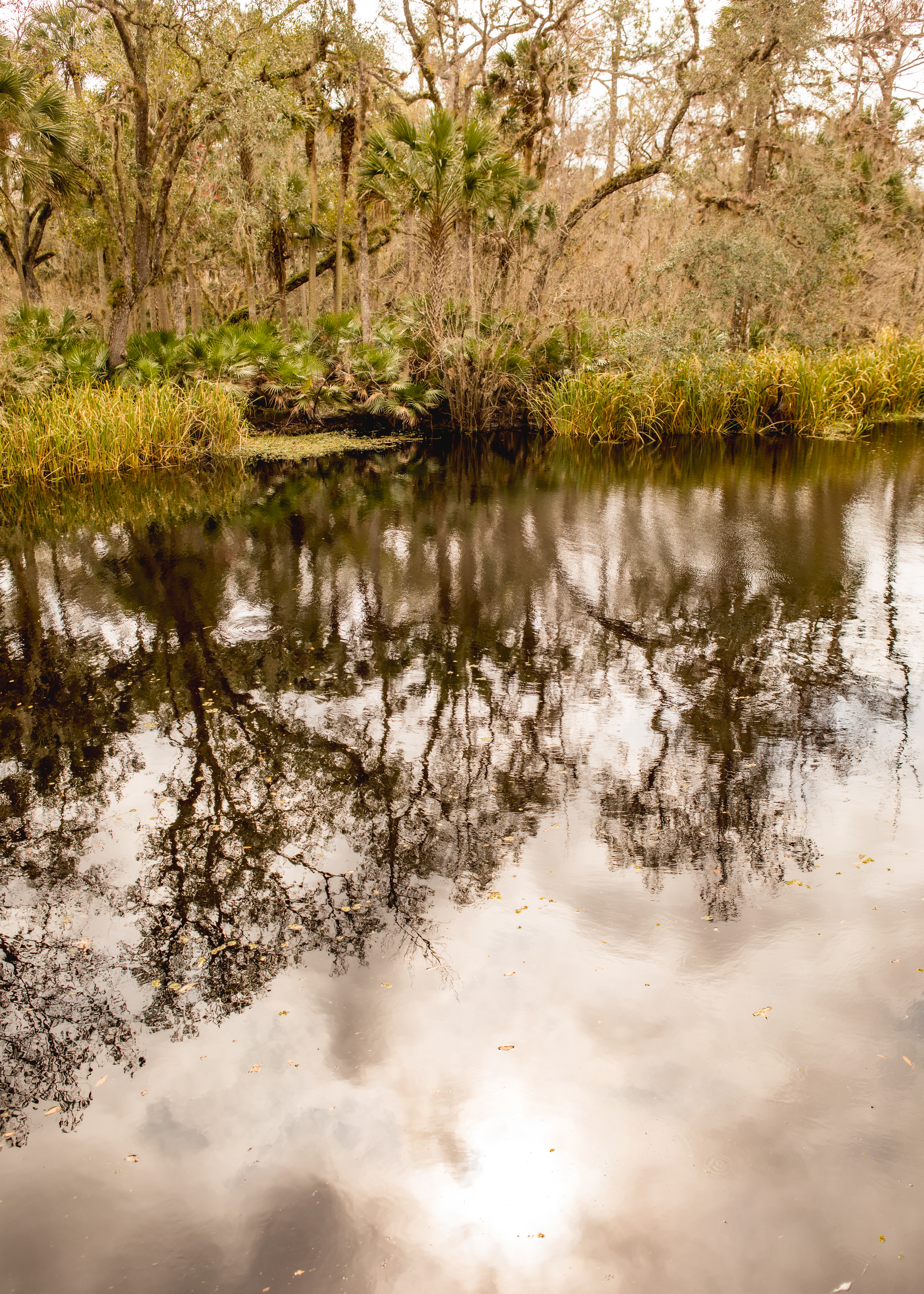
A little delayed in posting this trip – but here we go. Flew into Salt Lake City and picked up a rental car to drive to Jackson Hole and then on to our Cabin at Jackson Lake Lodge. Along the way we spotted our first wildlife that of a mother Moose and her baby crossing a field and jumping a fence – baby ducked through it. Never thought I would see a pickup full of antlers – second surprise of the day. We spent some time walking around Jackson Hole stopping by it’s famous town square. After dinner a late night arrival at the lodge.

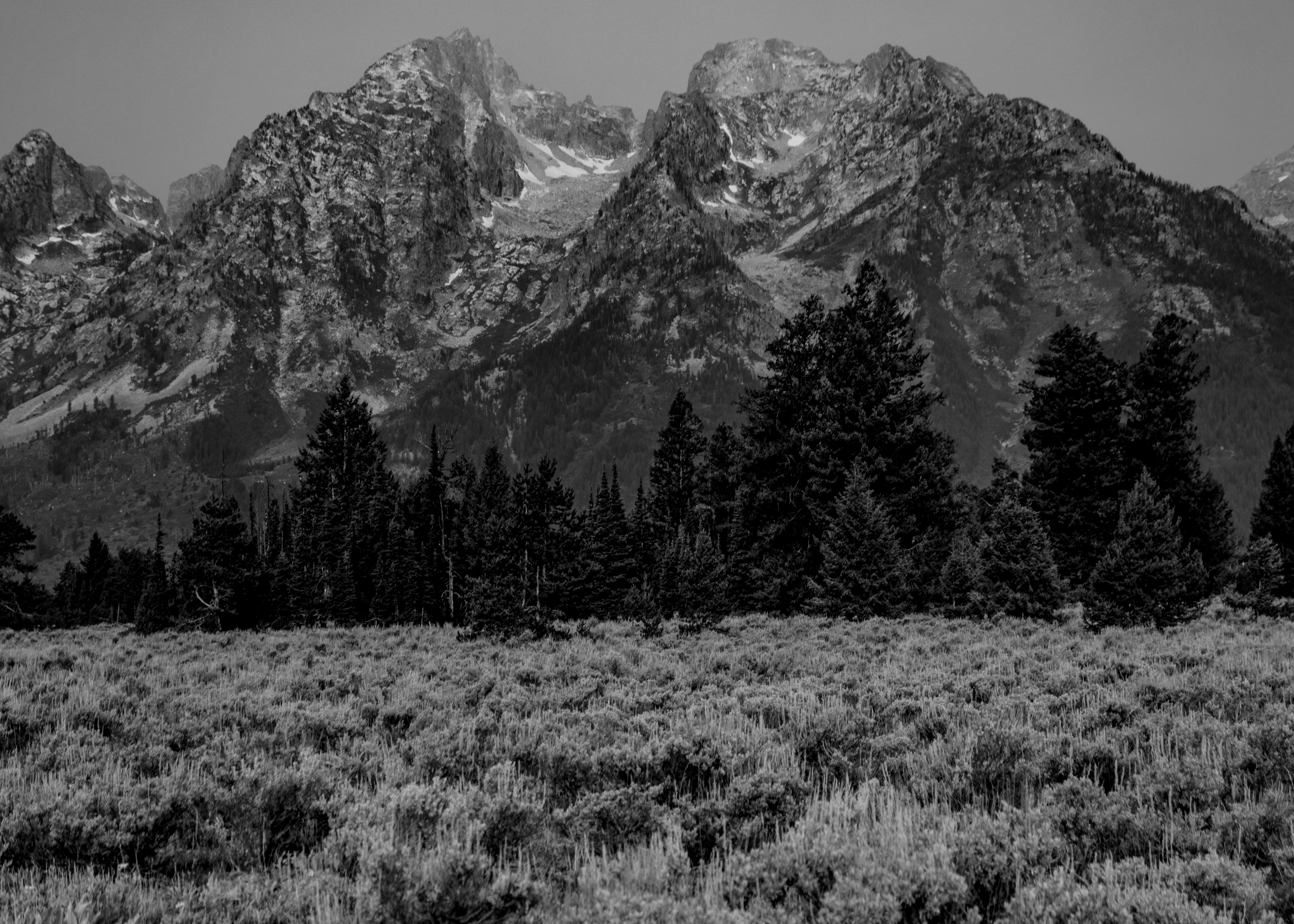
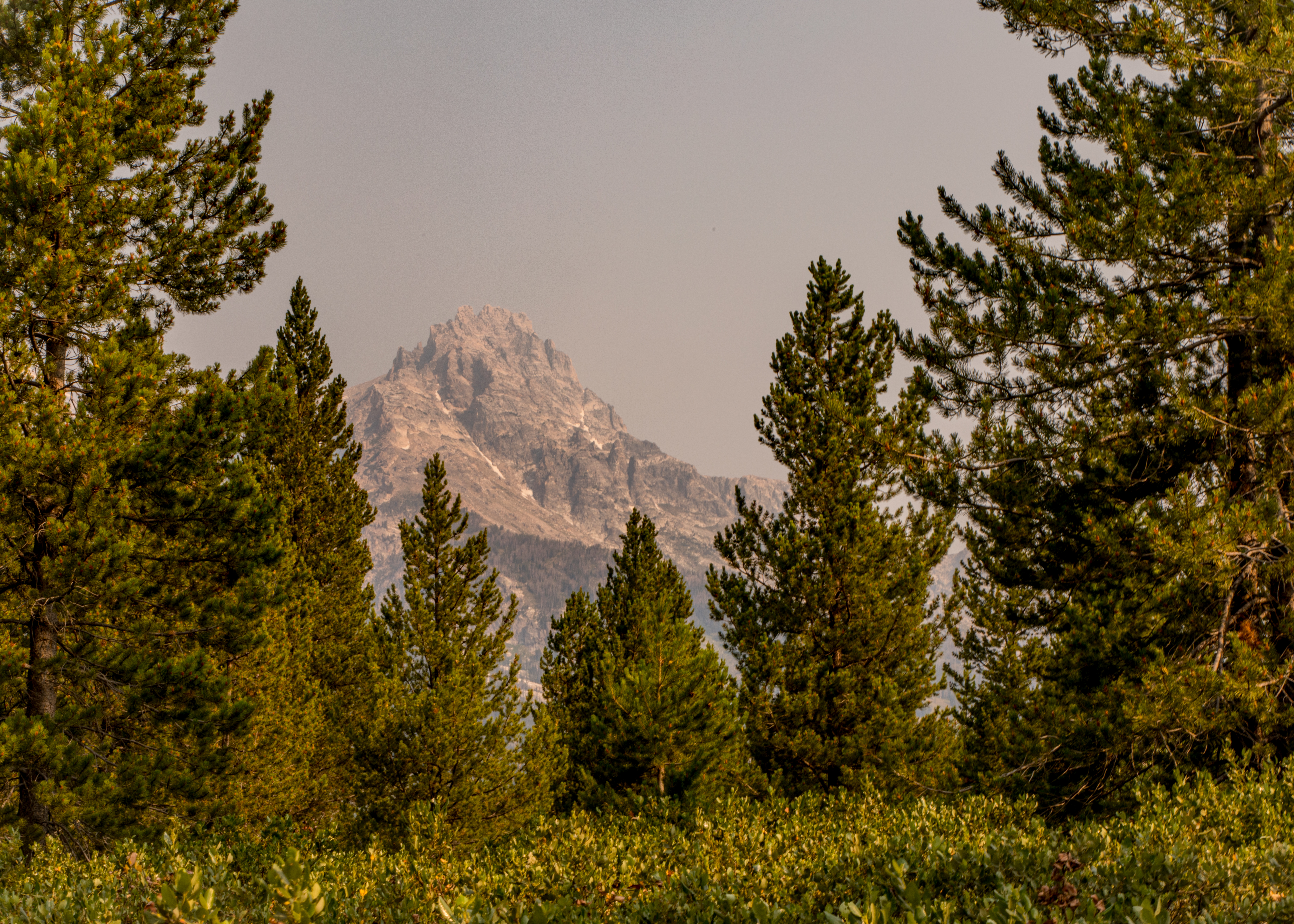
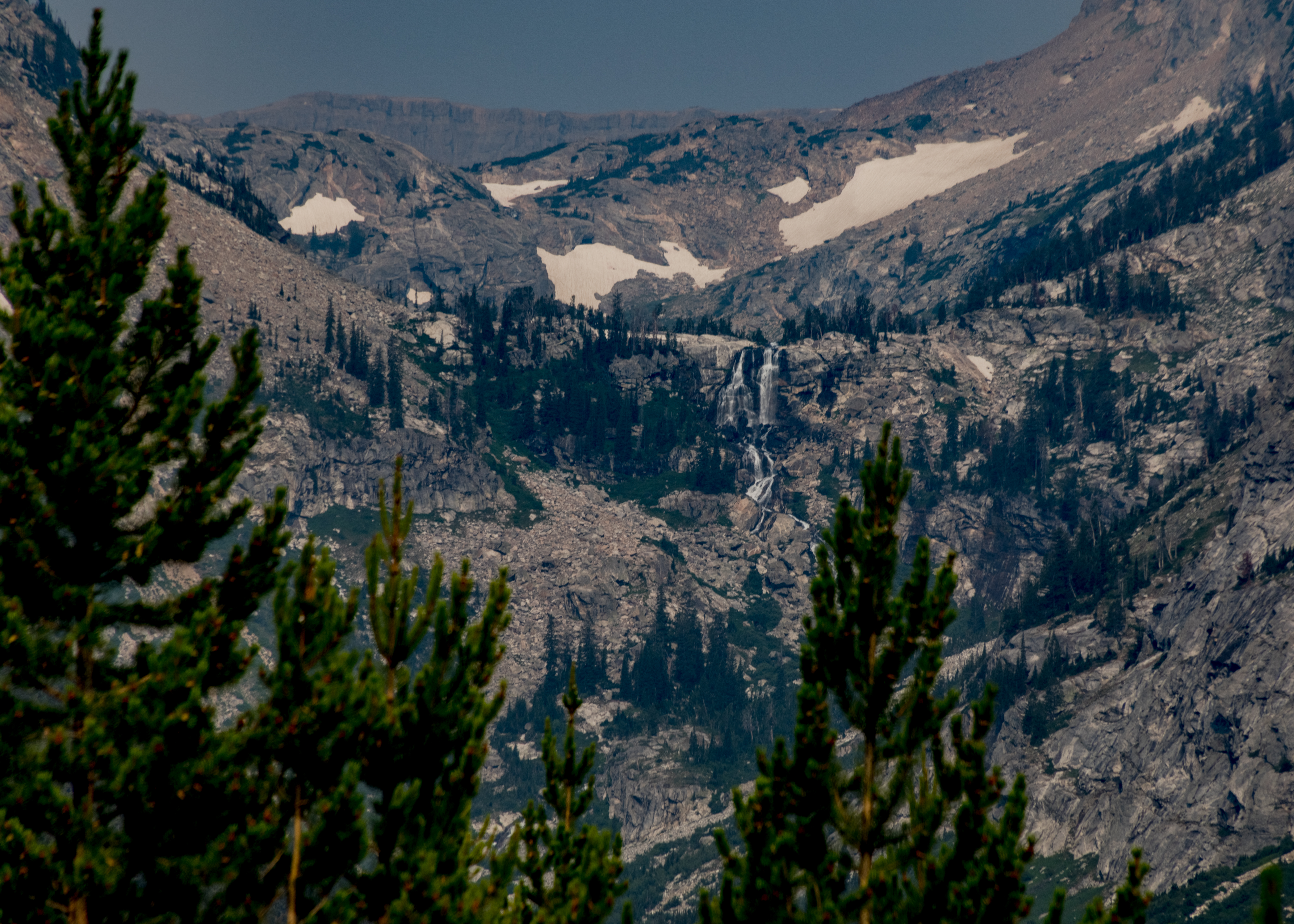
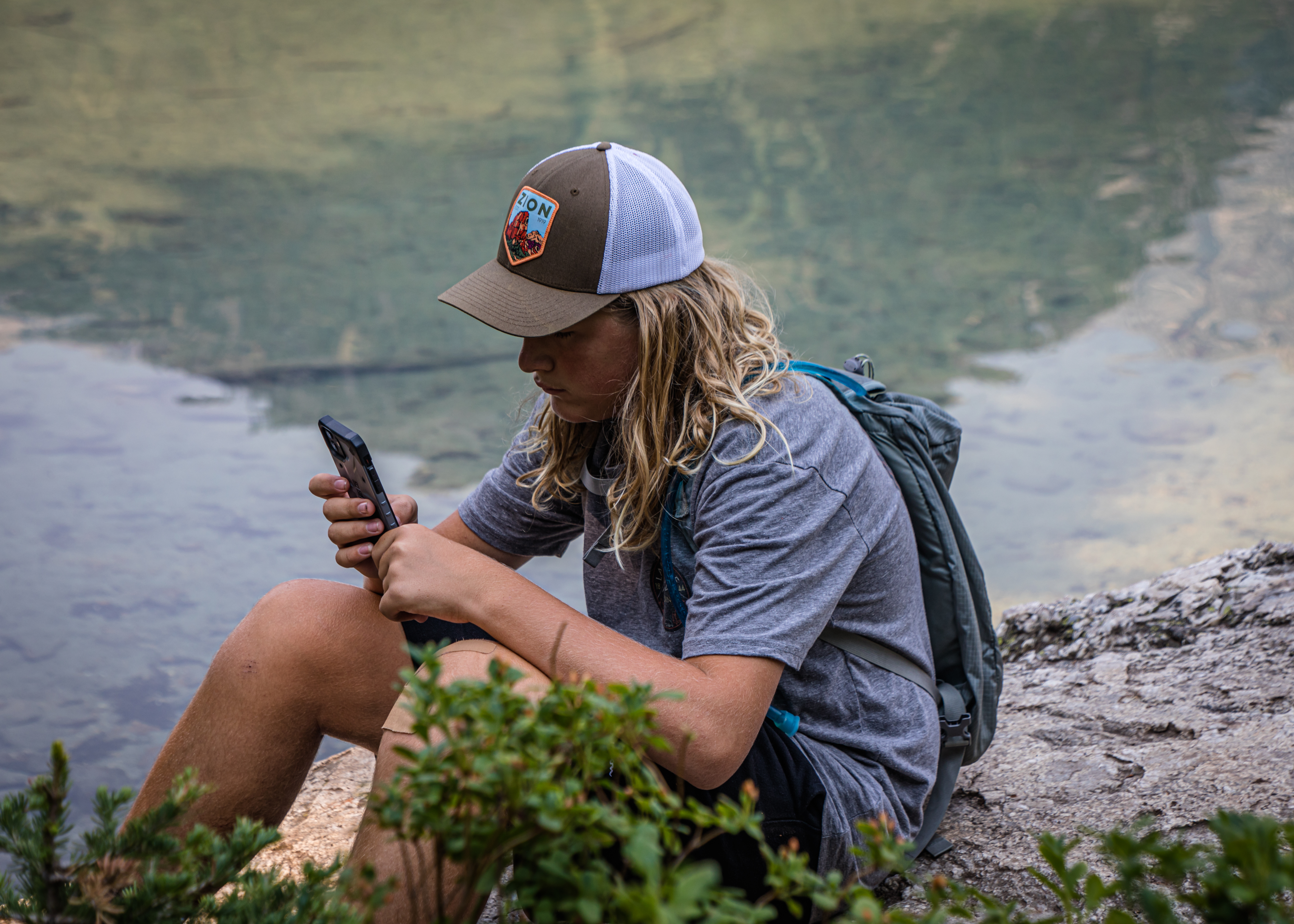
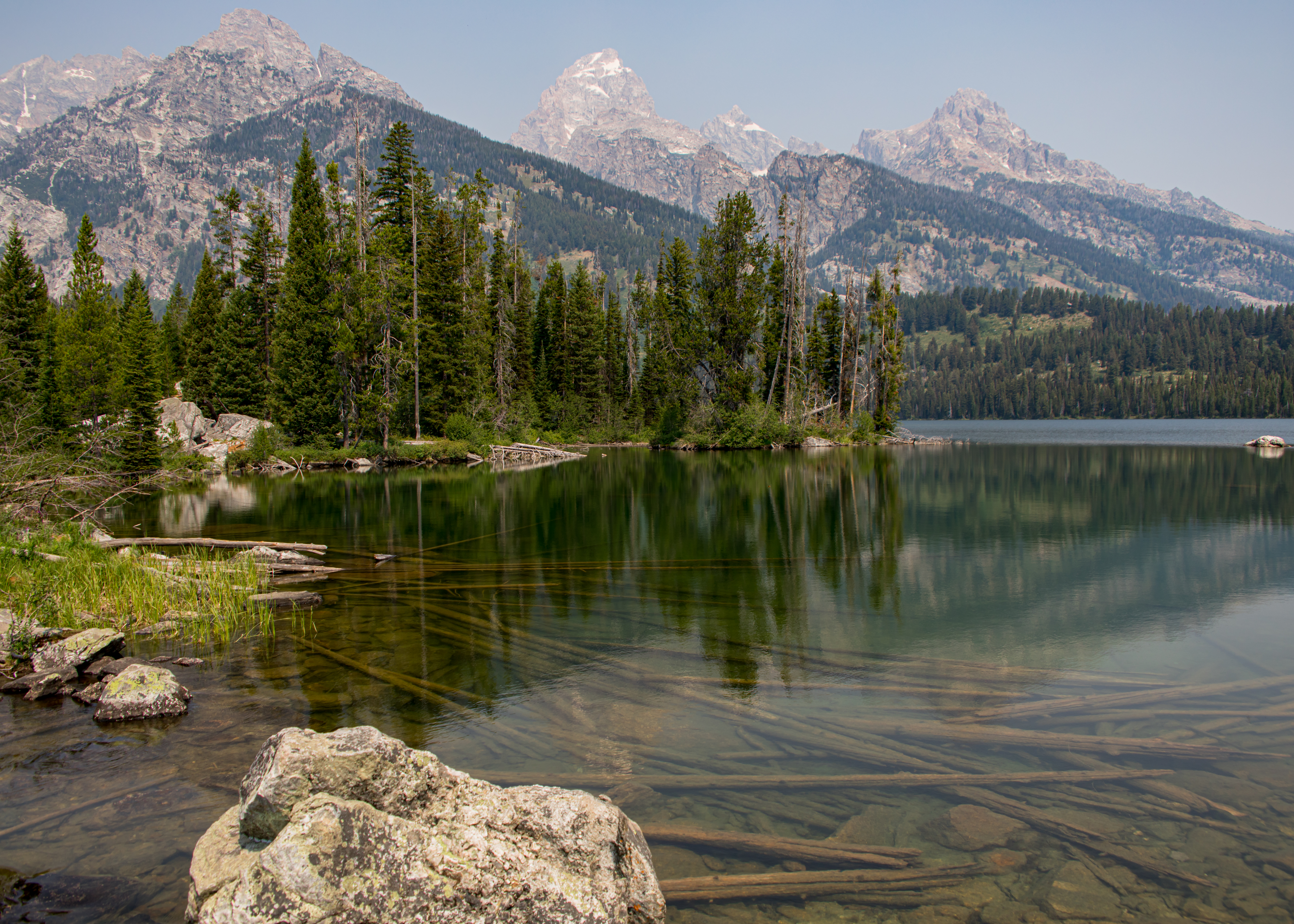
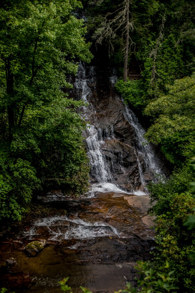
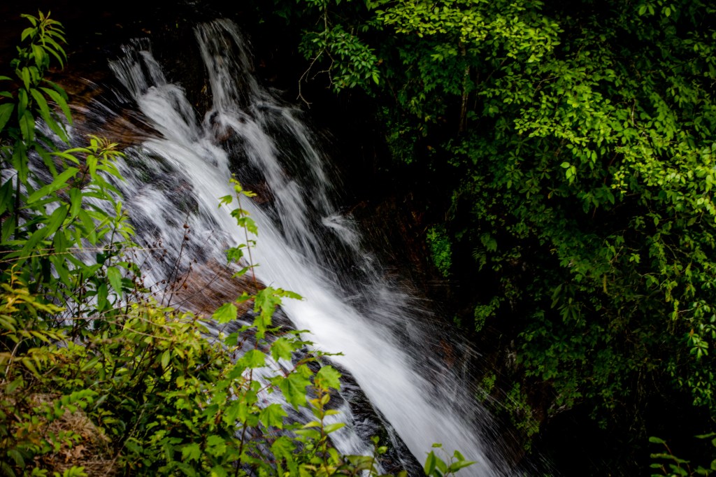
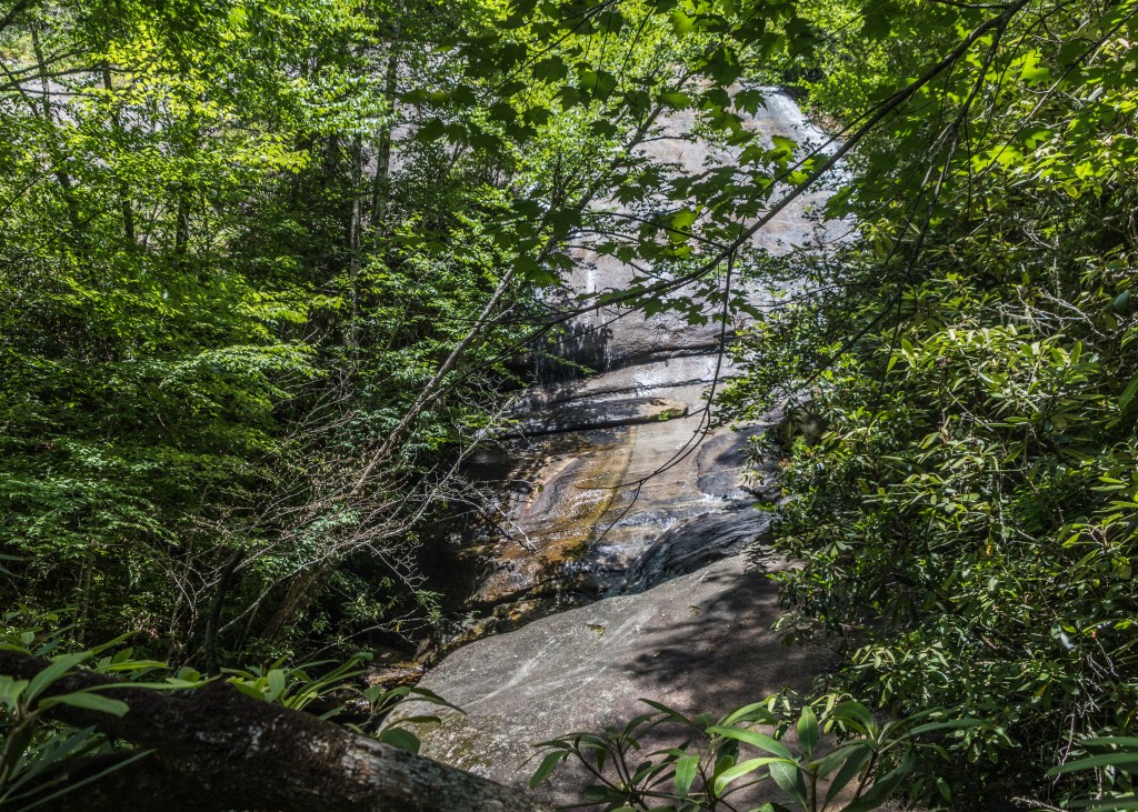
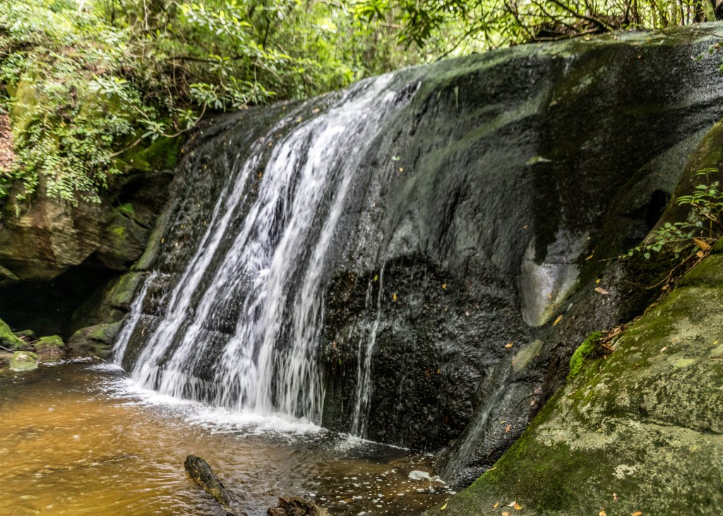
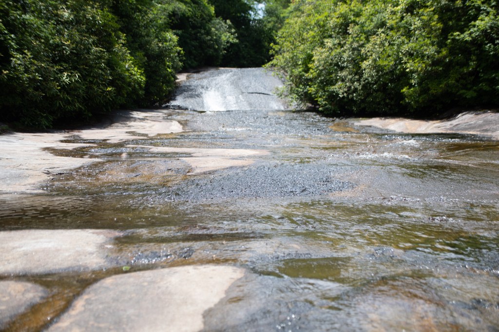
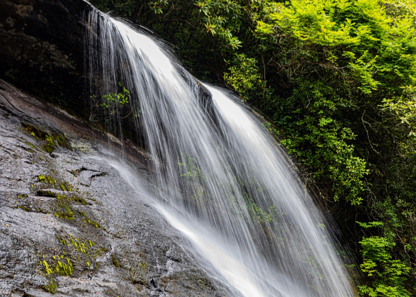
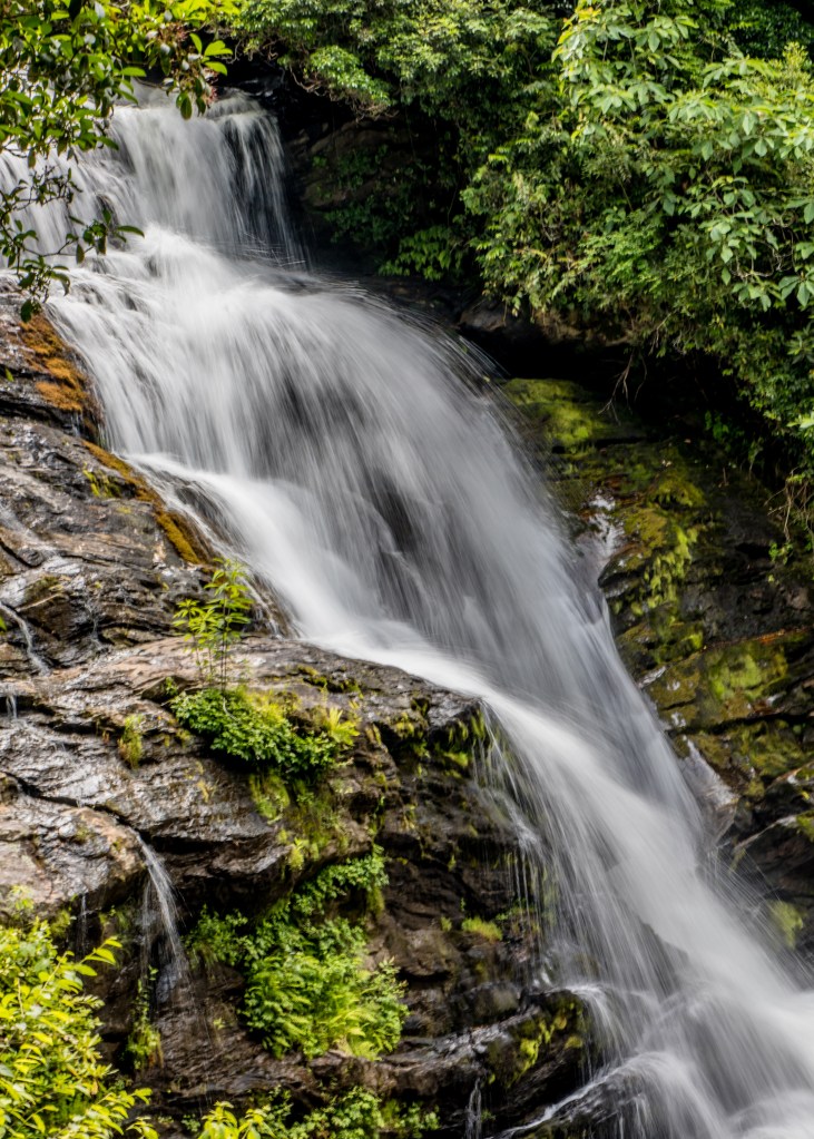
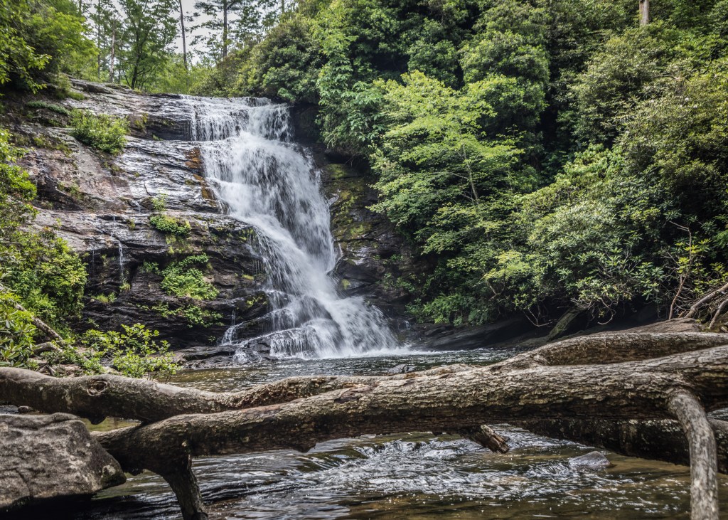
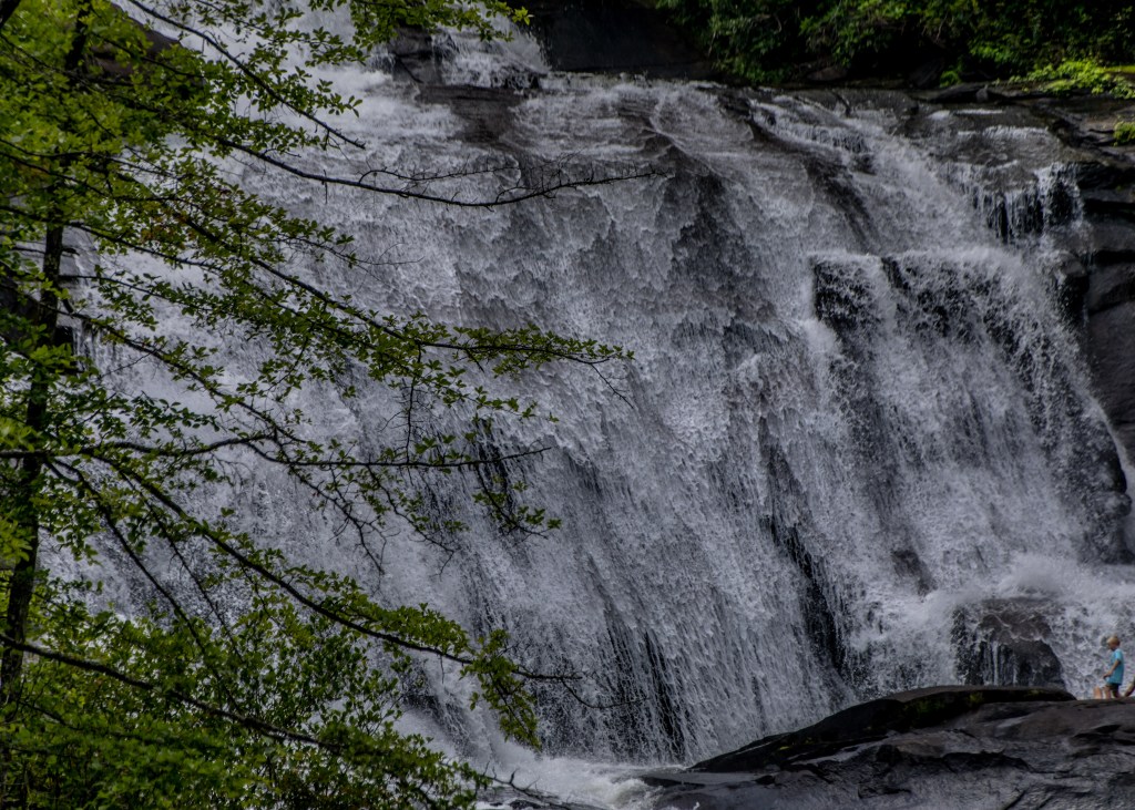
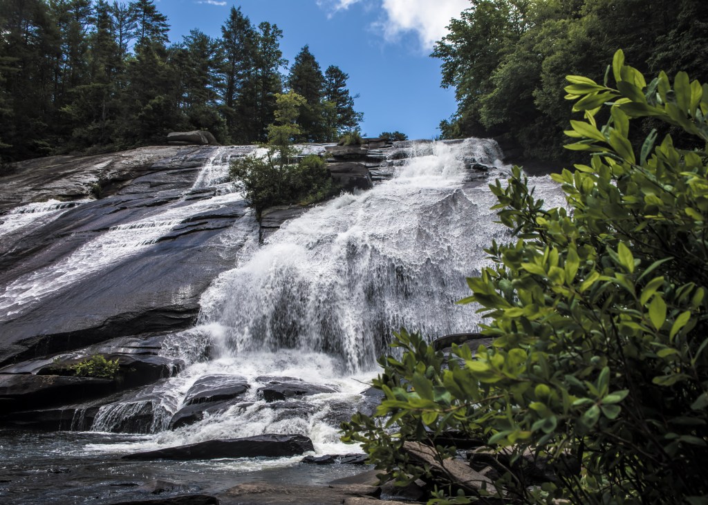
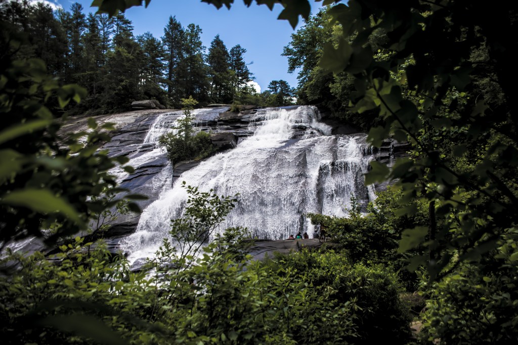
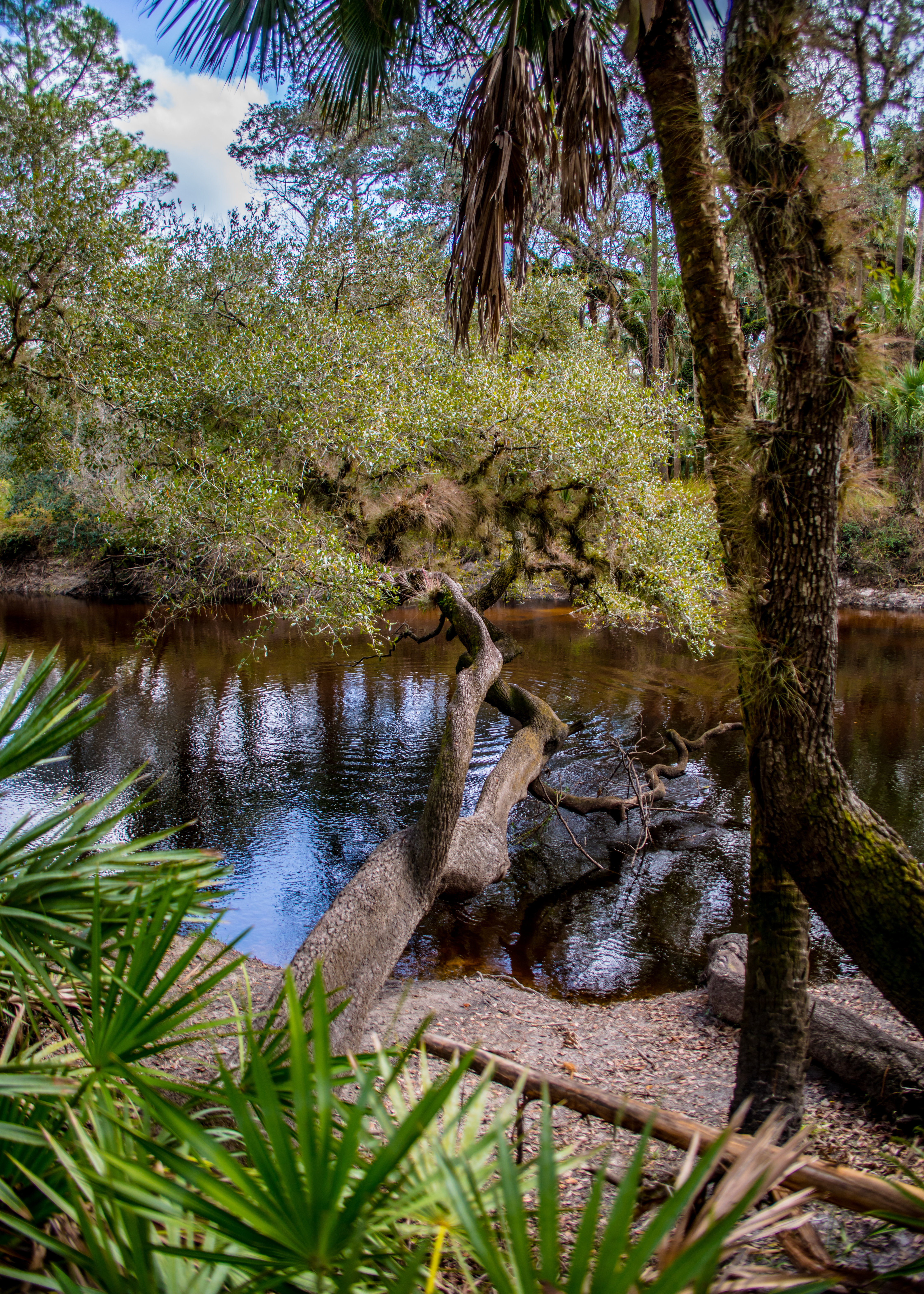
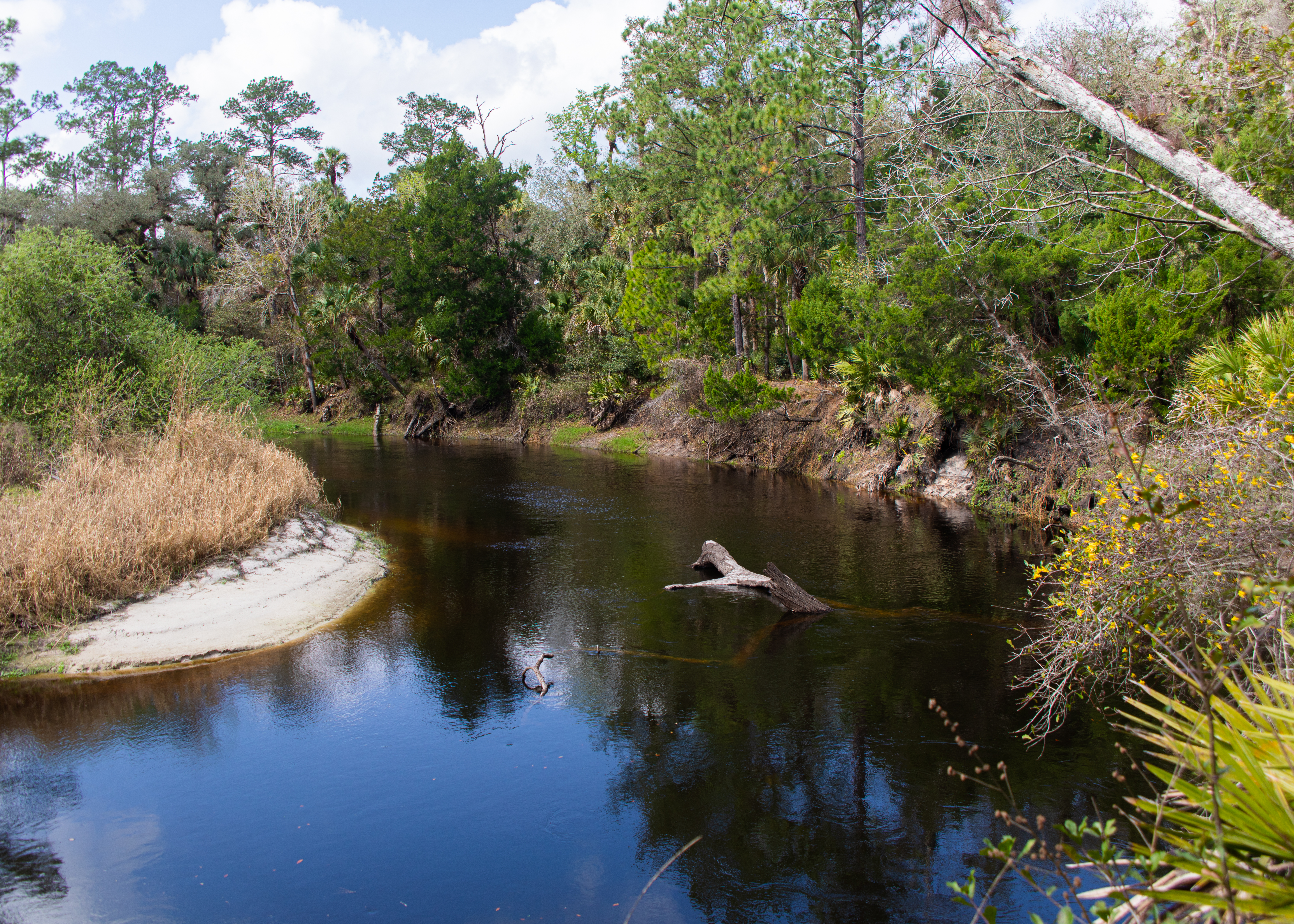
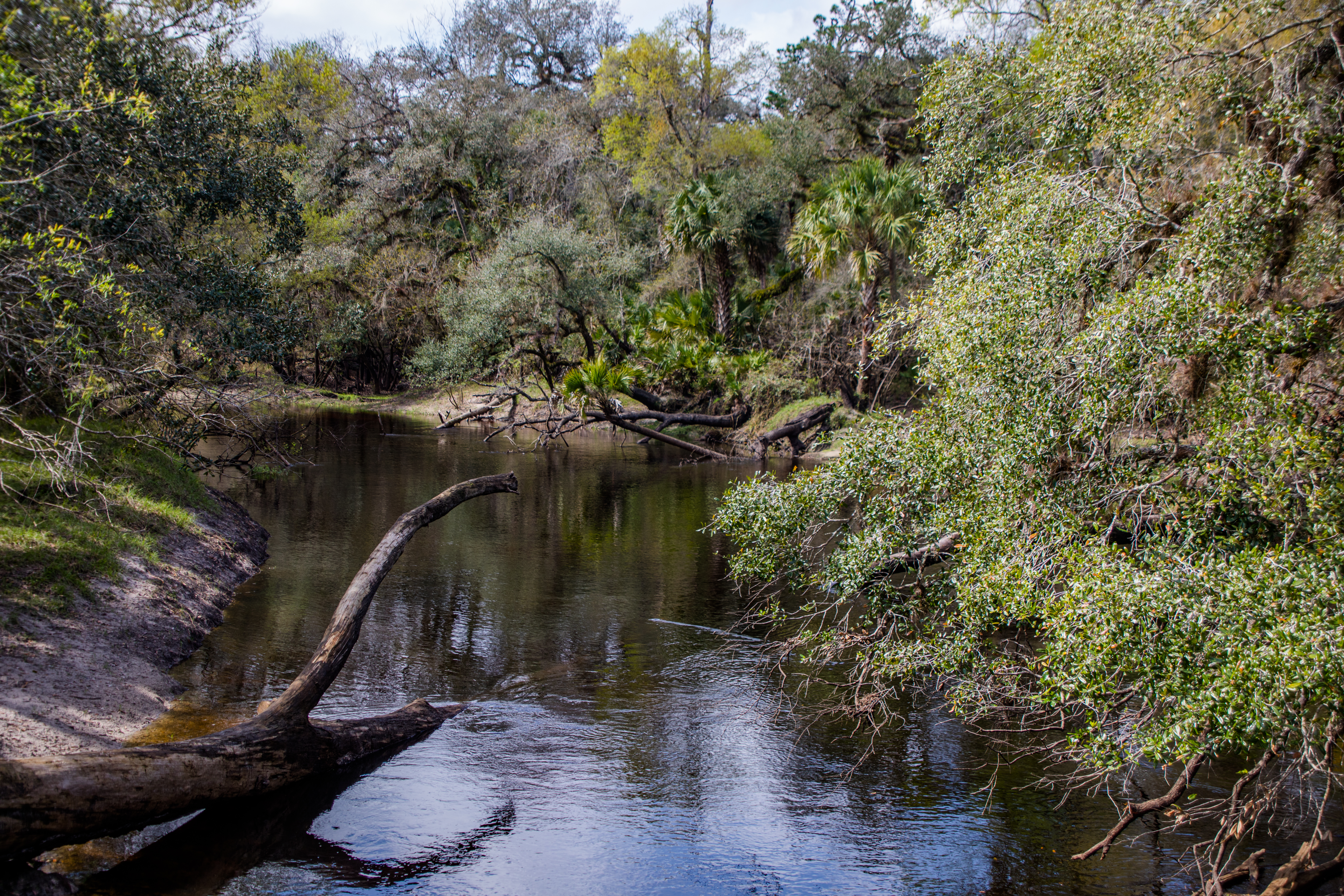
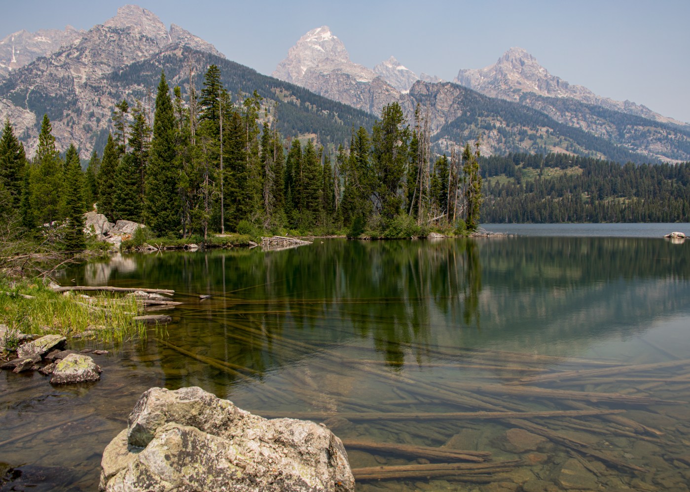
On our second day we awoke to 40 degree weather and a very poor view of the Tetons do to western wildfire smoke. We were here to hike and show our grandson the parks highlights – so off to do a 6 mile hike combining the Bradley and Taggart Lake trails. We were able to escape the crowds by hiking to Bradley then looping back and around Taggart – most only hike to Taggart.

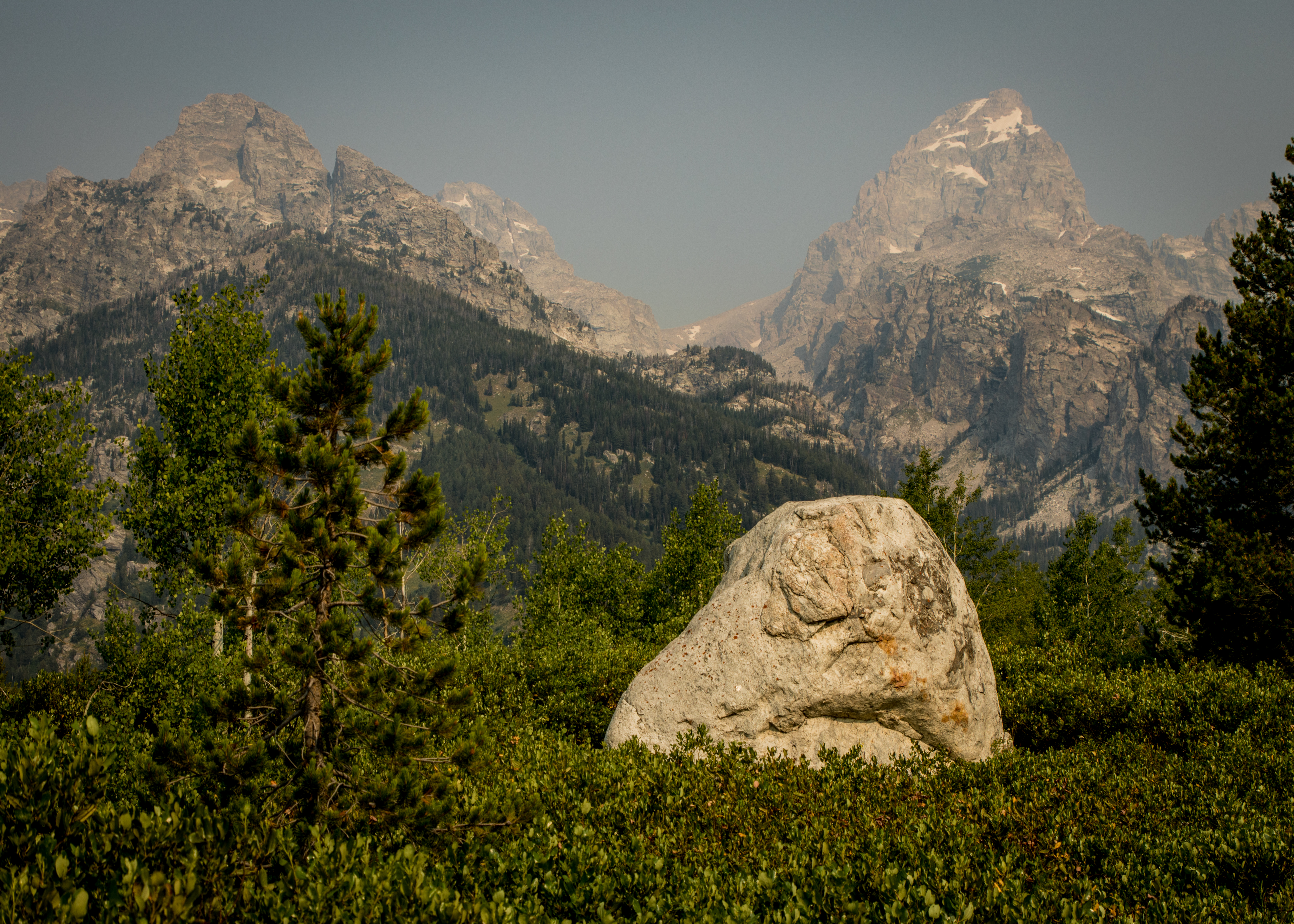
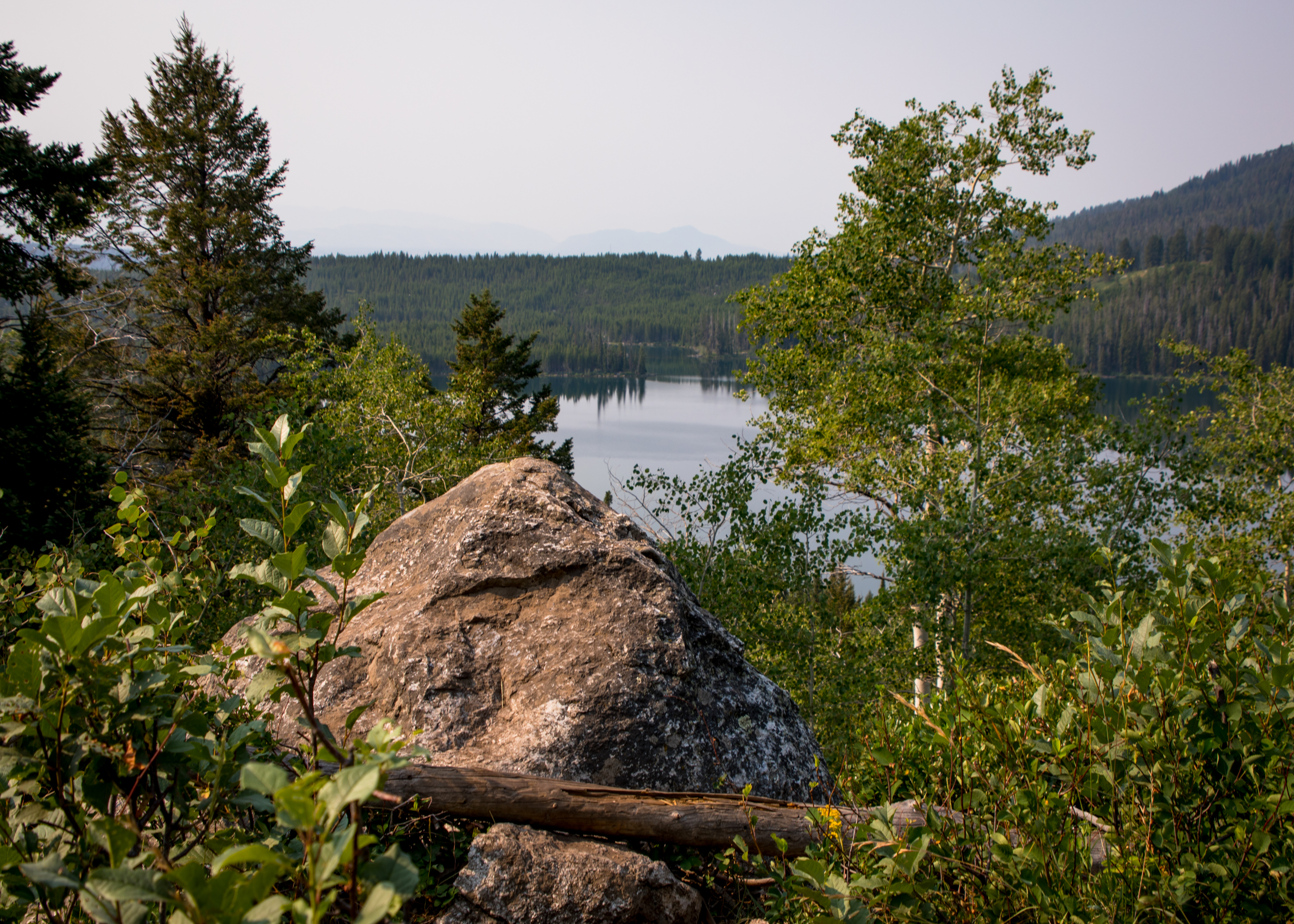
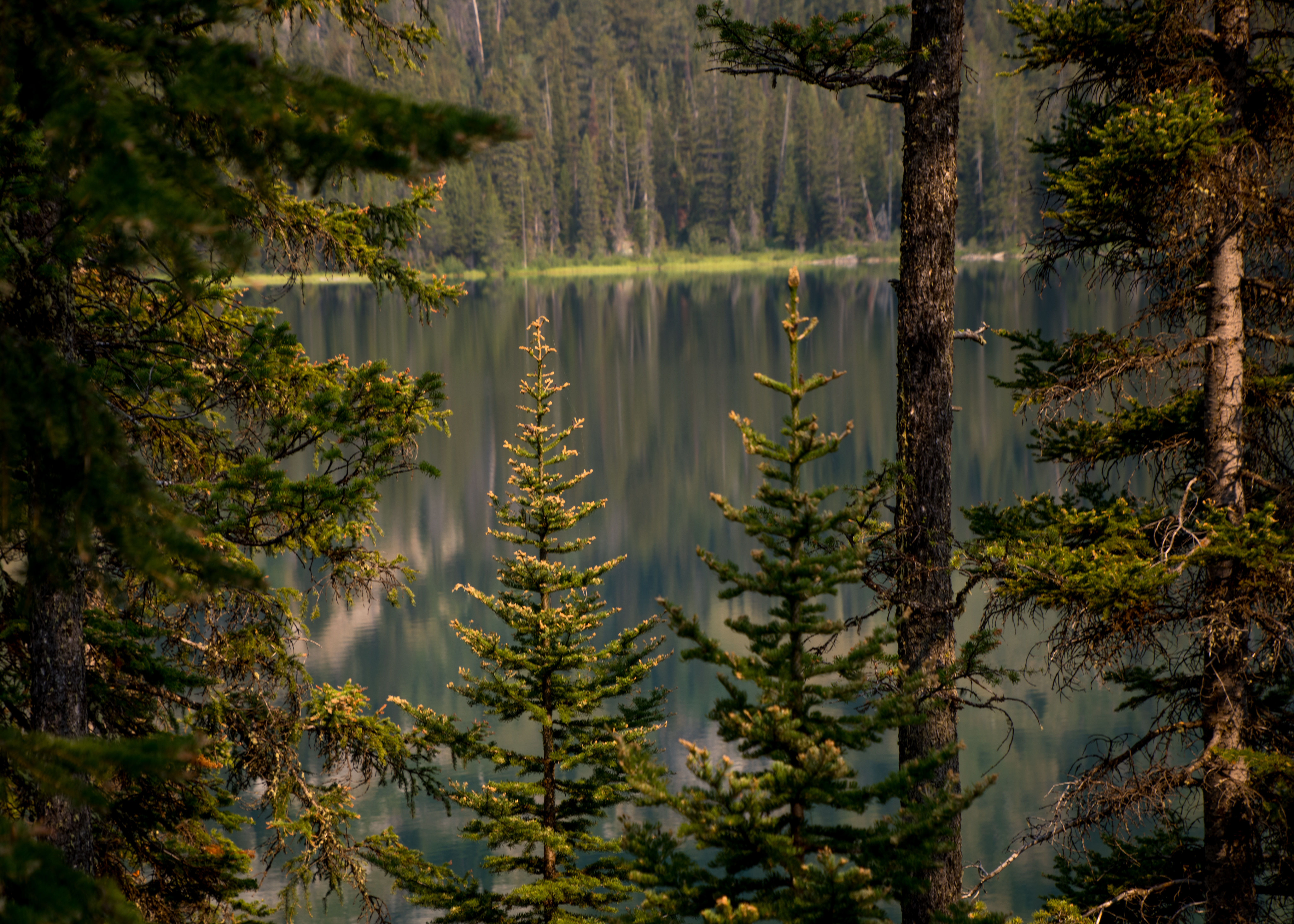
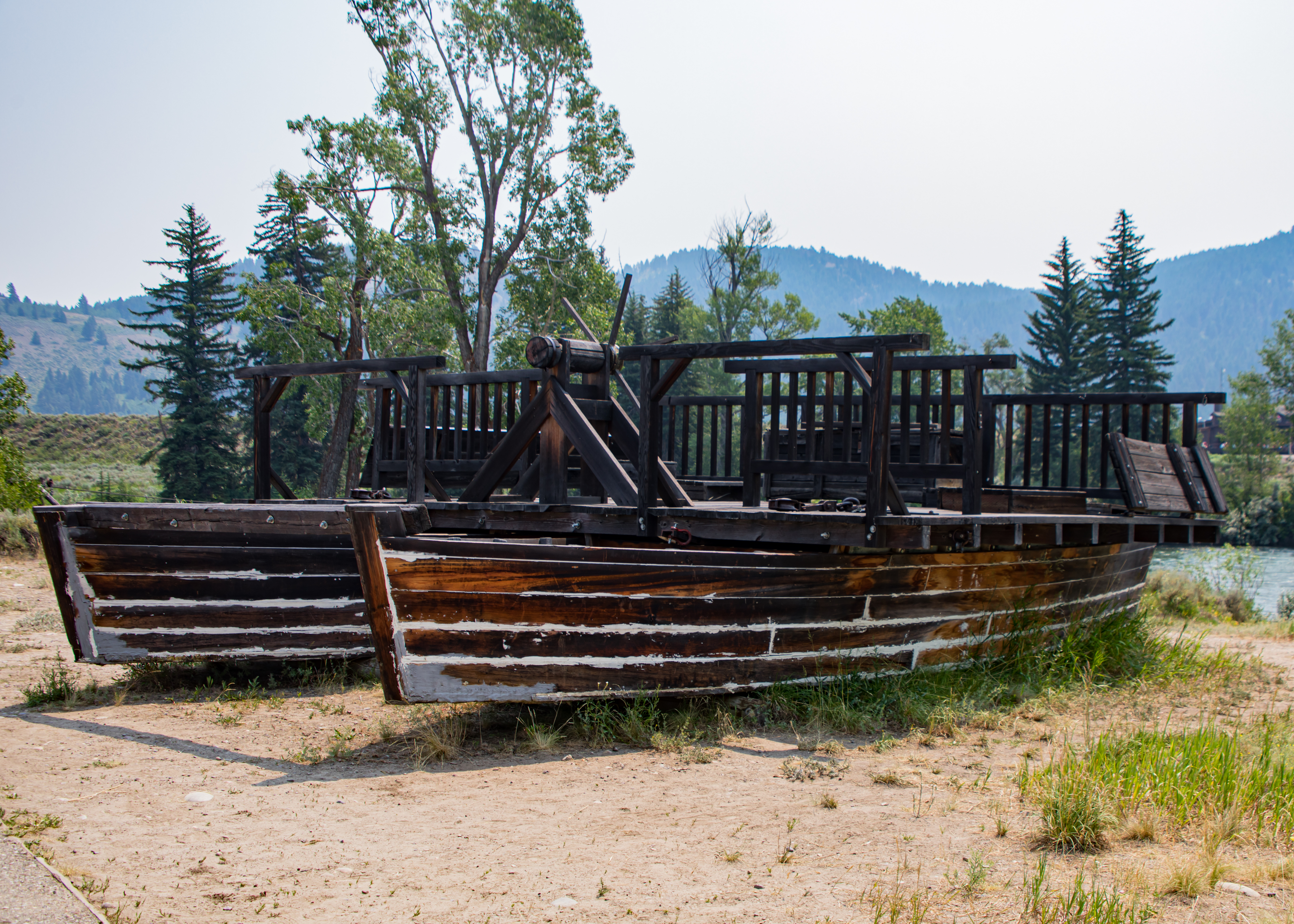
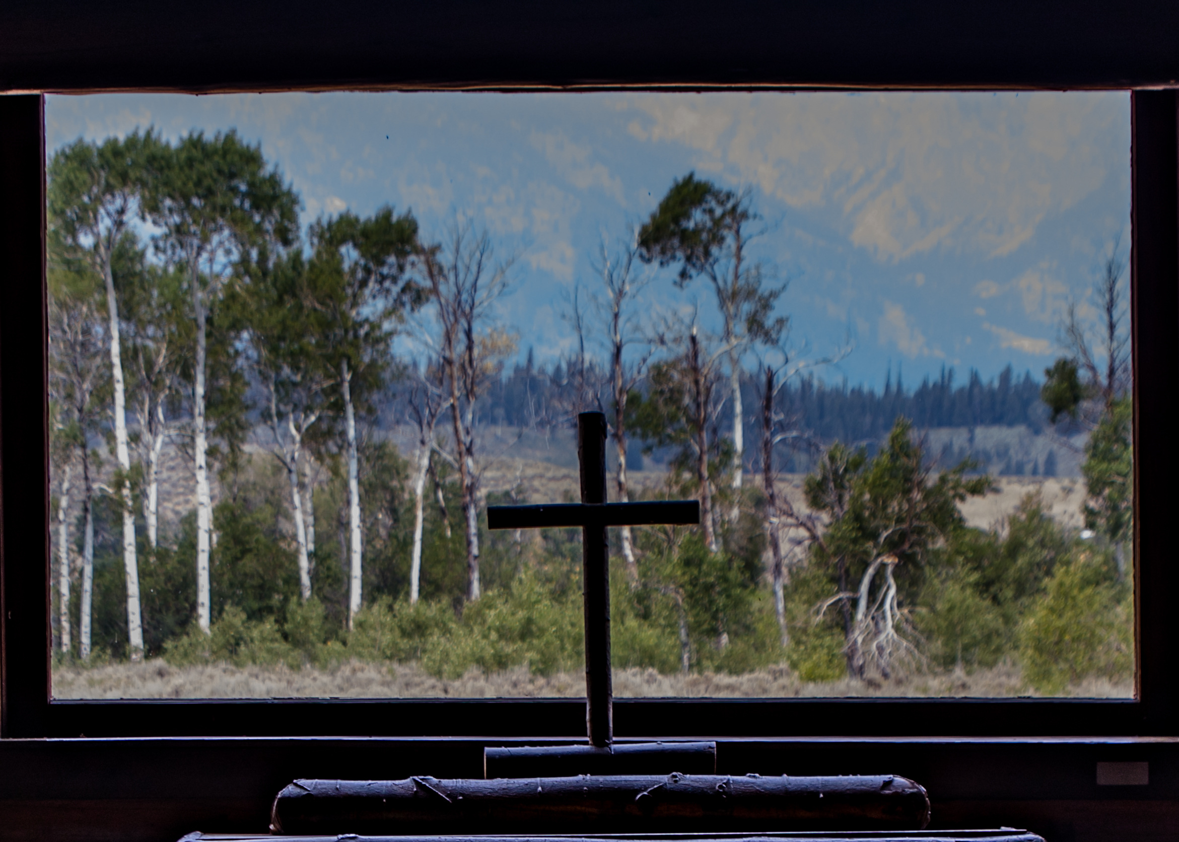
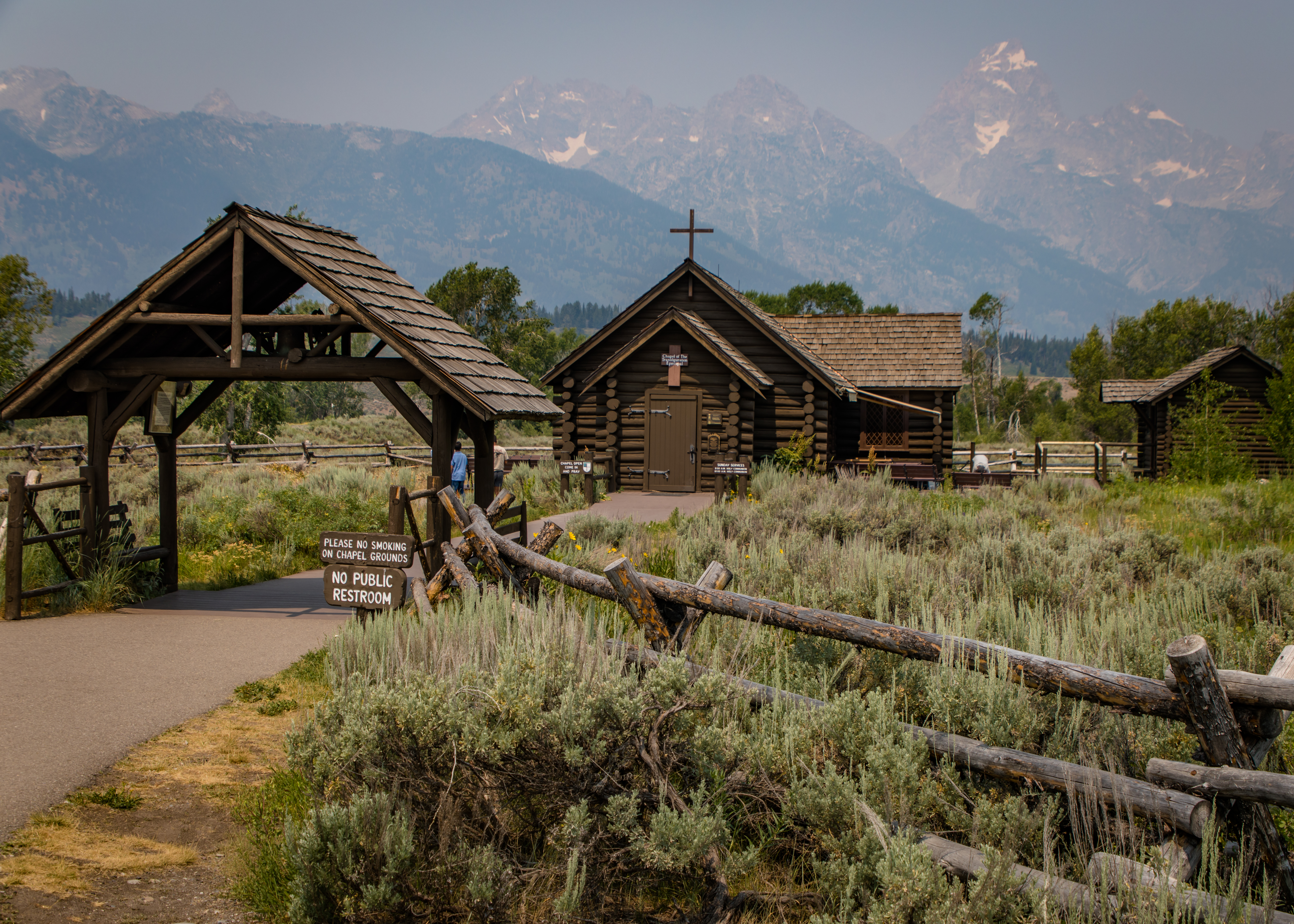
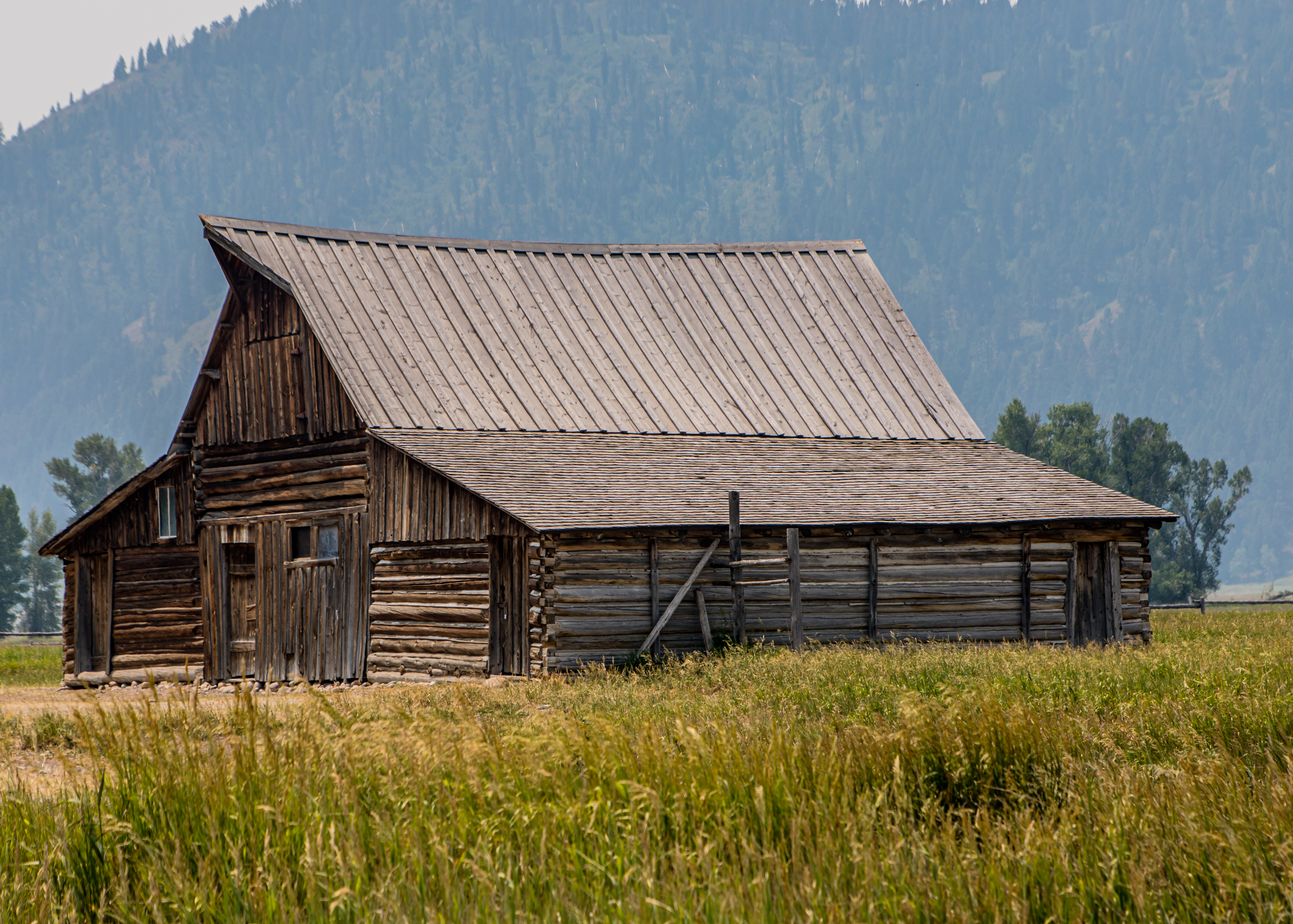
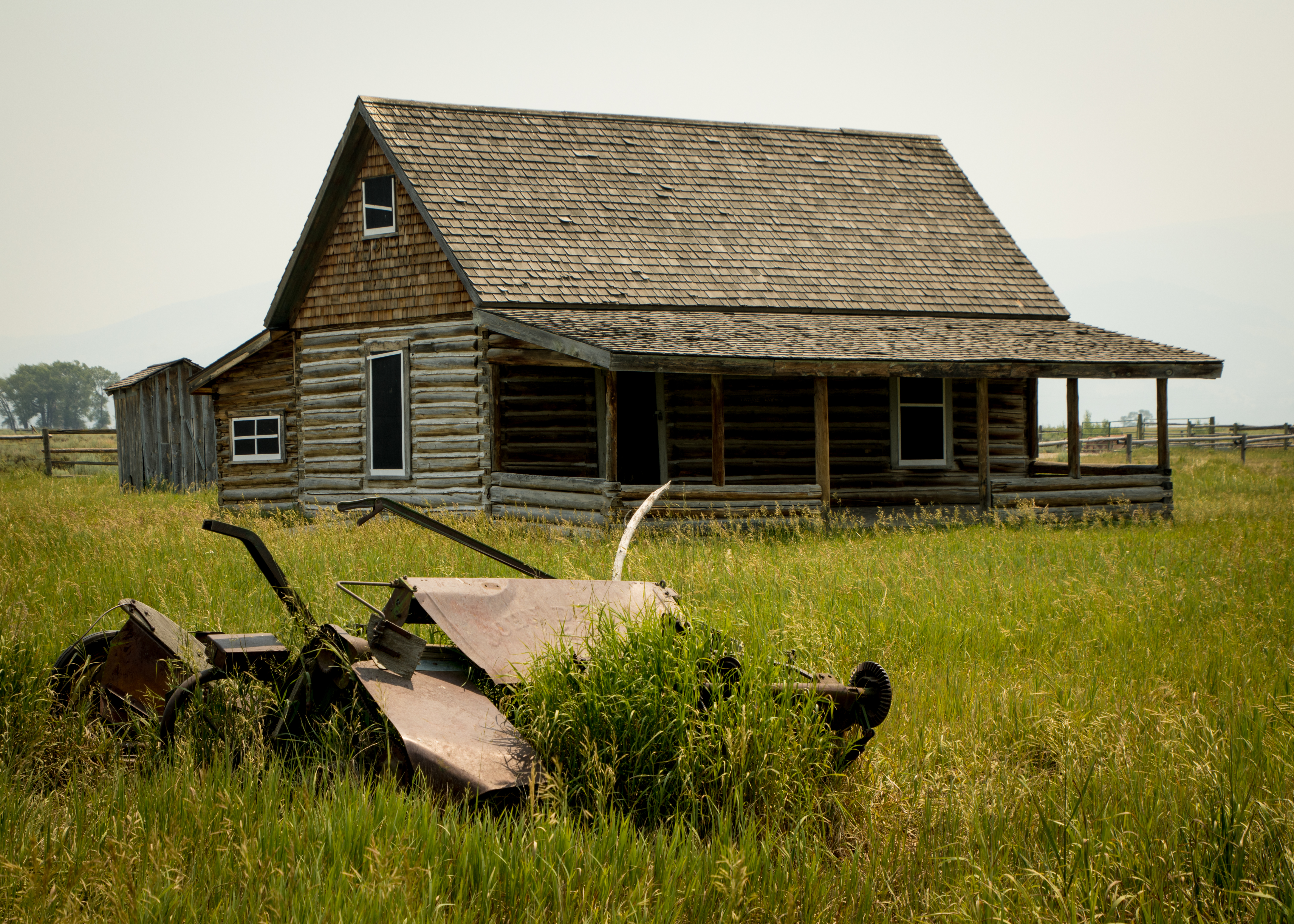
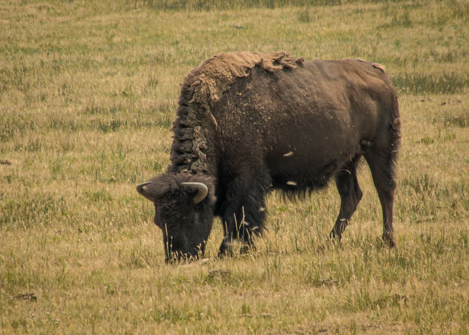
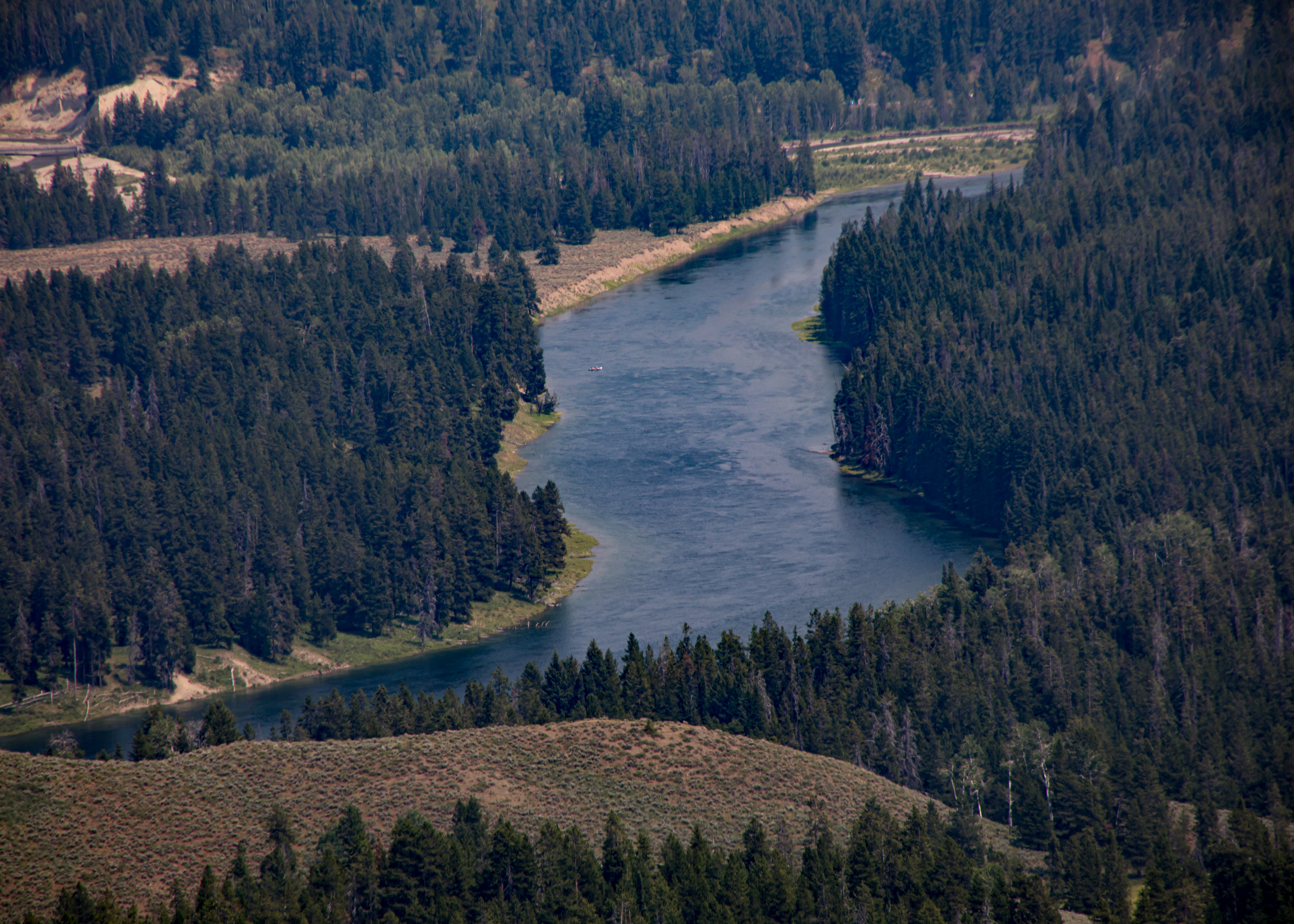
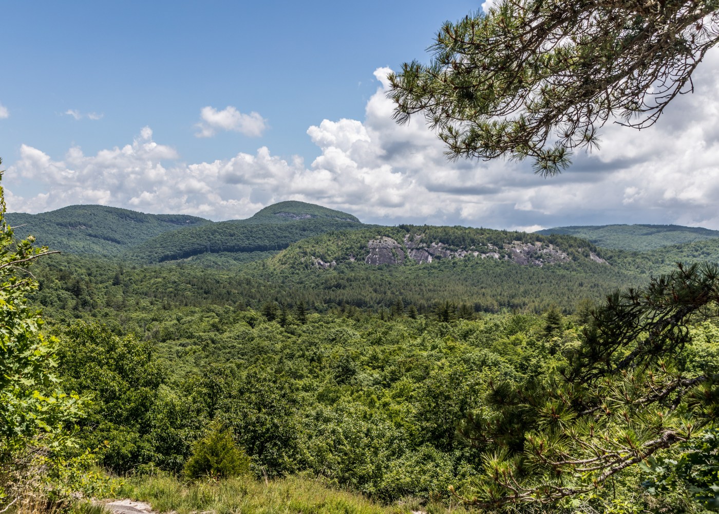
To complete our day we first visited Menors Ferry District. Bill Menor built the original ferryboat and cableworks. The ferry is a simple platform set on two pontoons. The district also houses the Chapel of the Transfiguration. The chapel was sited and built to frame a view of the Cathedral Group of peaks in a large window behind the altar. Then on to Mormon Row – homesteaders established 27 homesteads in the area because of relatively fertile soil, shelter from winds by Blacktail Butte and access to the Gros Ventre River. Two well photographed structures remain — Moulton Barn and Chambers Homestead. Heading back to our cabin we passed several herds of Bison and just for fun drove the Signal Mountain Road — The road is a five mile, 1,000 foot climb of switchbacks to an observation area at the top of Signal Mountain. Set far apart from the next highest mountain peak, Signal Mountain provides views of the Tetons’ towering peaks ( not so much in the smog), the flat glacial plains below, Jackson Lake and the Snake River beyond.

Hiking Waterfall Trails in Western North Carolina – June 2021 – Day 3

Crimshawes Post Office: While driving to todays trailhead we passed the smallest US post office building.

Connestee Falls: a roadside falls

  • We hiked the Panthertown Valley Trail, Wilderness Falls Trail and Deep Gap Trail to view the following falls. The first falls was Wilderness Falls:

Then to Frolictown Falls:

Finally Granny Burrell Falls:

Hiking Waterfall Trails in Western North Carolina – June 2021 – Day 2

Secret Falls Trail: Secret Falls (also known as Big Shoals Falls) is a 50-ft. waterfall on Big Creek that cascades into a serene pool, deep in the Nantahala National Forest near the Georgia state line.

It’s an easy half-mile hike, but there are no signs to the parking area. So, this remote area is mostly visited by locals. The trail is blazed with blue rectangles on trees and is easy to follow. There’s one lone stake in the small parking area at the start of the trail that says “Secret Falls.” There are two easy creek crossings (one has a log bridge), a brief uphill section and a series of stairs after you reach the falls area.

Silver Run Falls:

Silver Run Falls in the Nantahala National Forest is just four miles south of Cashiers in Jackson County. This 25-ft. waterfall cascades into a tranquil pool with a small beach area. It’s a short walk (about 1/4-mile) on a mostly level trail and across a bridge over the headwater of the Whitewater River. There are a couple of observation points along the shore to soak in the views of Silver Run Falls. And many rocks where you can step across to get a different angle.

Hiking Waterfall Trails in Western North Carolina – June 2021 – Day 1

We had the opportunity for a quick getaway to the Cashiers NC area the last week of June and jumped on it. Beautiful area, great dining and cool weather, a nice relief from the a hot and humid stretch in northeast Florida.

Triple Falls: Three thundering waterfalls spill in succession, tumbling and cascading from wide, blocky rock ledges. Tall trees frame the waterfalls in lush, green beauty. It’s one of North Carolina’s most popular waterfalls, and for a good reason: with three waterfalls in such a short stretch of river, Triple Falls is a gorgeous hike. And movie buffs, it’s no coincidence that these waterfalls might look familiar: the waterfall was a former filming location for The Hunger Games and The Last of the Mohicans.

High Falls: High Falls in DuPont State Recreational Forest is a gorgeous 150-ft. tall waterfall. Getting there take the 2-mile High Falls Loop which includes Triple Falls also. 

Longleaf Pine Preserve – March 8, 2021

Longleaf Pine Preserve includes several natural communities, including mesic and wet flatwoods, cypress strands, cypress domes and scrub.

The preserve, which covers 12,005 acres, has two long marked trails and I did the red trail.

  • The red trail is a six-mile loop that begins and ends at the west entrance of the preserve. Along this trail, you may see mesic flatwoods, which are characterized by longleaf pine and slash pine and an understory dominated by saw palmetto and wiregrass. Cypress domes may be recognized throughout the site by the dome-like appearance of their pond cypress tree line. Cypress strands – elongated areas of cypress tree communities – also can be seen in the distance.

Portions of the trail are subject to flooding – some areas possibly more than two feet ( fortunately I was able to bushwhack around the deeper water). Although use of the trail when flooded may not be for everyone, traversing this natural site under wet conditions provides an opportunity to observe and experience the character of Florida’s vital wet habitats. (Ha Ha)

Wildlife along the trails may include sandhill crane, great blue heron, river otter, bobcat, coyote, fox, deer, black bear and alligator – didn’t see much but a fine walk in the woods and water. Beware the trail skirts private property and the owners are none to friendly.

Little Big Econ State Forest – February 12, 2021

The Little Big Econ State Forest is well-known for its beautiful trails. The forest is  10,279 acres preserved in a suburban area in the middle of the triangle formed by Orlando, Cocoa and Daytona Beach. The forest supports a variety of wildlife such as alligator, Sherman’s fox squirrel, gopher tortoise, gopher frog, bald eagle, sandhill crane, deer, turkey, gray squirrel, roseate spoonbill and wood stork.

You’ll find shady trails along the beautiful wild Econlockhatchee River, a major tributary of the St. Johns River and designated an Outstanding Florida Water. The Econ is a slow-moving tannic-colored river with some bluffs along its banks that add elevation changes to the riverside hike.There are lots of hiking options: There are 16.3 miles of trails, including an eight mile section of the Florida Trail and a straight trail called the Flagler Trail because it follows what was Henry Flagler’s historic railroad line.

We made the Kolokee Trail into a 5.2 mile loop, you need to consult the Kolokee Trail Brochure and use several other marked trails — the Flagler Trail, the White Trail and the Florida National Scenic Trail – to get you back to the trailhead.

Along the way, we admired the many large oak and cypress trees and used one of several benches to watch the river. We’re told it’s a good place for birding and wildlife viewing, but our only sighting was an alligator. Where does the unusual name come from?

The forest’s name comes from combining the names of the Little Econlockhatchee River and the larger Econlockhatchee River, which come together just south of the forest.

The Muskogee word Econlockhatchee translates literally to “earth-mound stream” and means the “river of many mounds.” Long ago, Native Americans named the river for the multitude of man-made earthen mounds along the waterway.

LAKE HARNEY WILDERNESS AREA – February 15-2021

The Lake Harney Wilderness Area (LHWA) is an approximately 300-acre property that is located along the St. Johns River at the northwest shore of Lake Harney. This site is home to an historic crossing of the Florida East Coast Railway, Native American shell middens, several bald eagle nests, oak hammocks and mixed hardwood swamps. This site also contains extensive floodplain marshes associated with Lake Harney which serve as important feeding grounds for wading birds and as a natural filter improving water quality.

Lake George Forest and Wildlife Management Area & Haw Creek Preserve – February 8, 2021

The 8,062-acre Lake George Forest and Wildlife Management Area is part of a 35,380-acre wildlife management area that provides more than 20 miles of contiguous habitat for many species of Florida’s wildlife along Lake George and the St. Johns River. The Lake George area has the second largest population of bald eagles in the lower 48 states.The trail along Lake George winds through hardwood hammock dominated by live oak, sweet bay, magnolia, and sabal palm with an understory of palmetto. Wildlife along the trails may include osprey, bald eagle, barred owl, pigmy rattlesnake, black bear, bobcat, river otter, fox, deer and turkey. Too bad the only wildlife I saw were a few crows.

Haw Creek Preserve is a beautiful peaceful place that is a hidden gem near Bunnell. It’s hidden back in the woods behind acres of cabbage farmland. The Haw Creek Preserve is right on the Haw Creek, where you can kayak and launch a boat. The hike is a bit on the shorter side. The whole thing is on a great boardwalk. The total distance round trip is a little less than 1.5 miles. Along the boardwalk there are turnoffs that take you over to the Haw Creek. From the turnoffs you have great views of the creek.

Coastal Strand Trail – January 30, 2021

The Coastal Strand Trail is a sandy 2.5-mile hike which begins at Smith Creek Landing in Ormond by the Sea, FL.

The first portion of this leisure hike takes place in a shady maritime hammock.  It occurs on old coastal dunes that have been stabilized long enough for the growth of a forest which can be found in interrupted patches along much of Florida’s coast. The vegetation is pruned and flattened by the salt spray, angling away from the ocean. 

Reaching the powerlines, you will be traversing through sunny coastal strand and looping back. These coastal dunes are vegetated with a dense thicket of salt-tolerant shrubs. It is excellent cover for small mammals, rodents, reptiles and birds. You can even catch a glimpse of the Atlantic Ocean from one of the high points on the trail.

Well-placed, interpretive signs are located along the hiking trail covering local resident species such as the gopher tortoise and Garberia, an increasingly rare plant that lives in dry, scrubby habitats. 

Blog at WordPress.com.

Up ↑