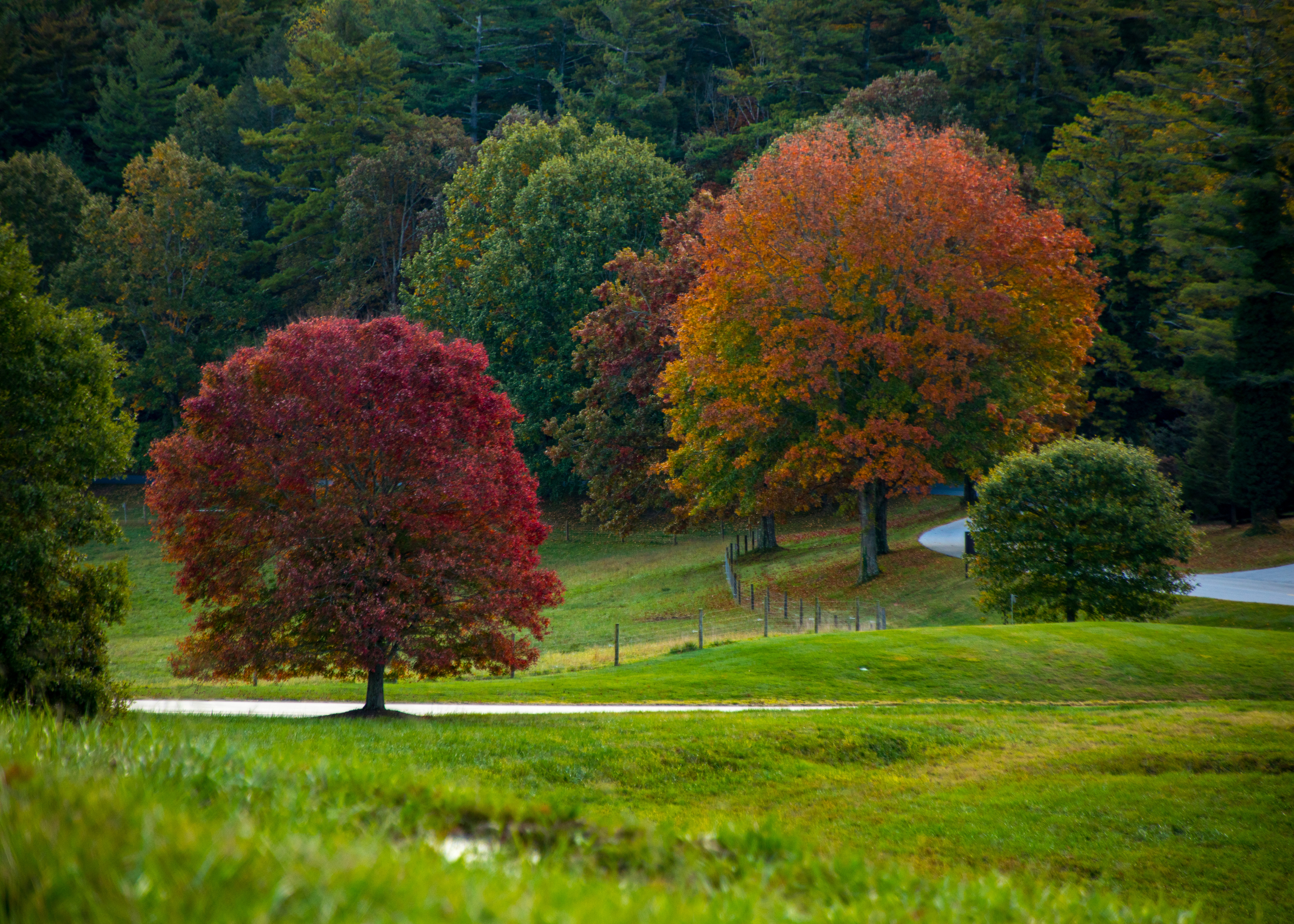
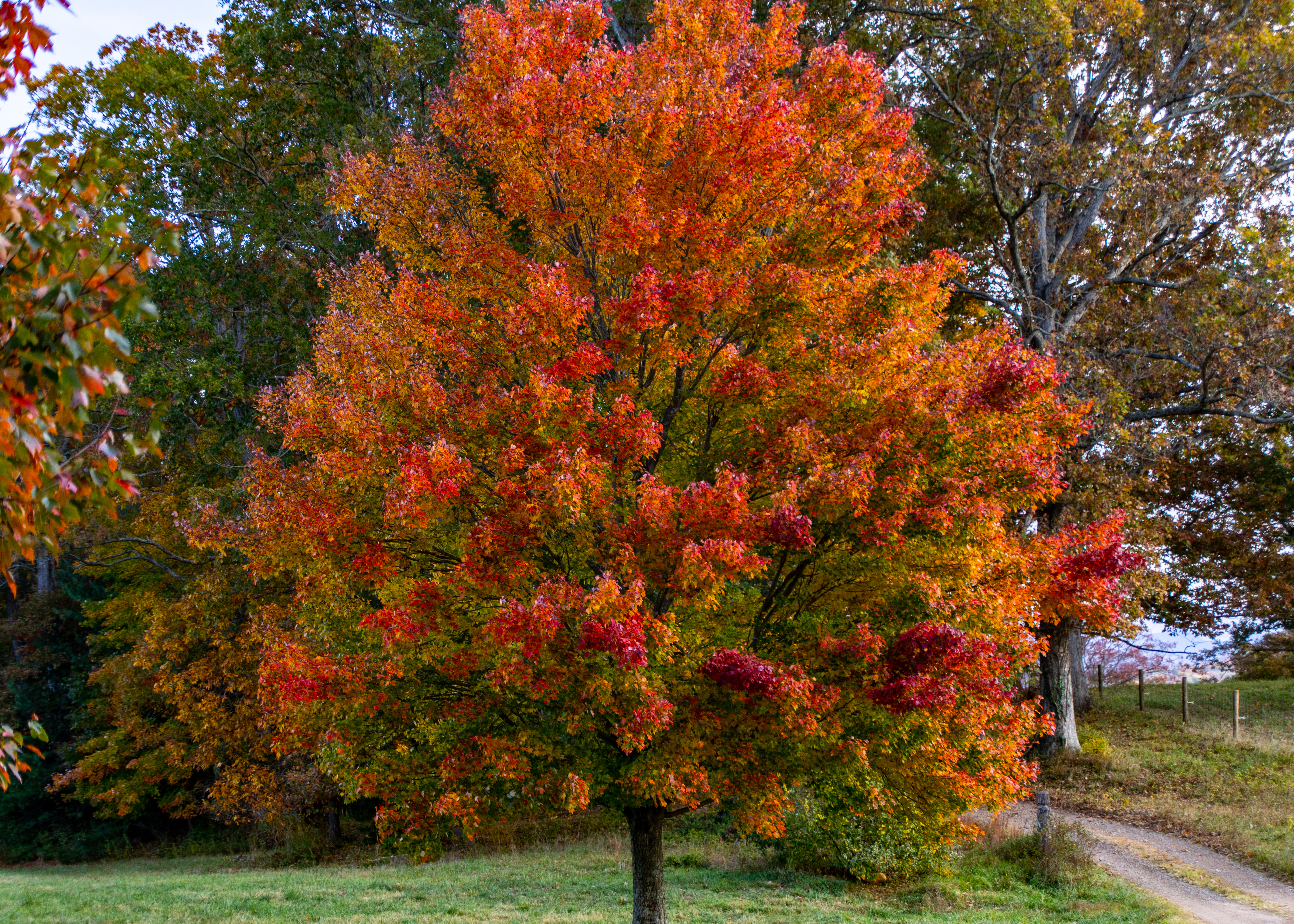
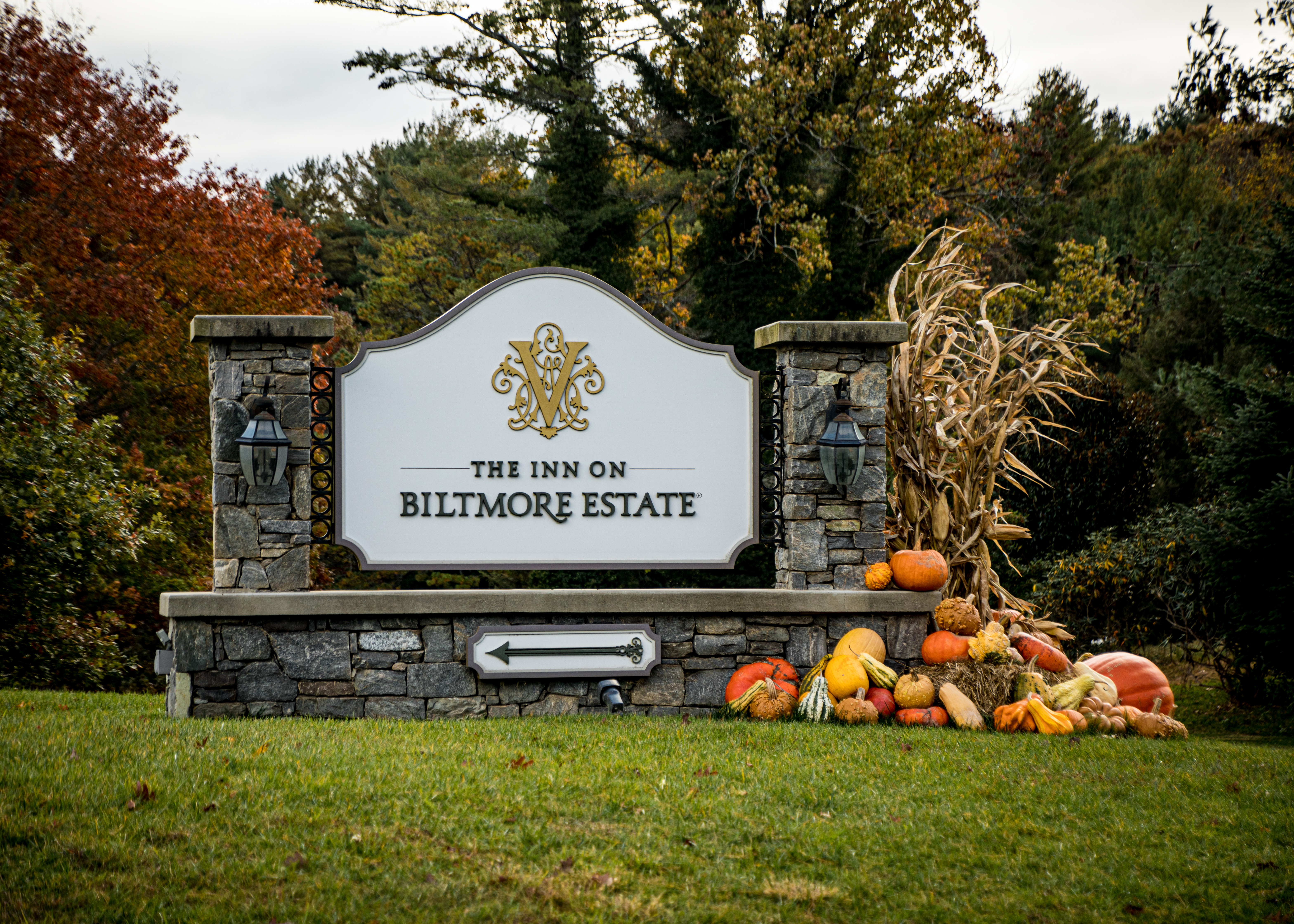
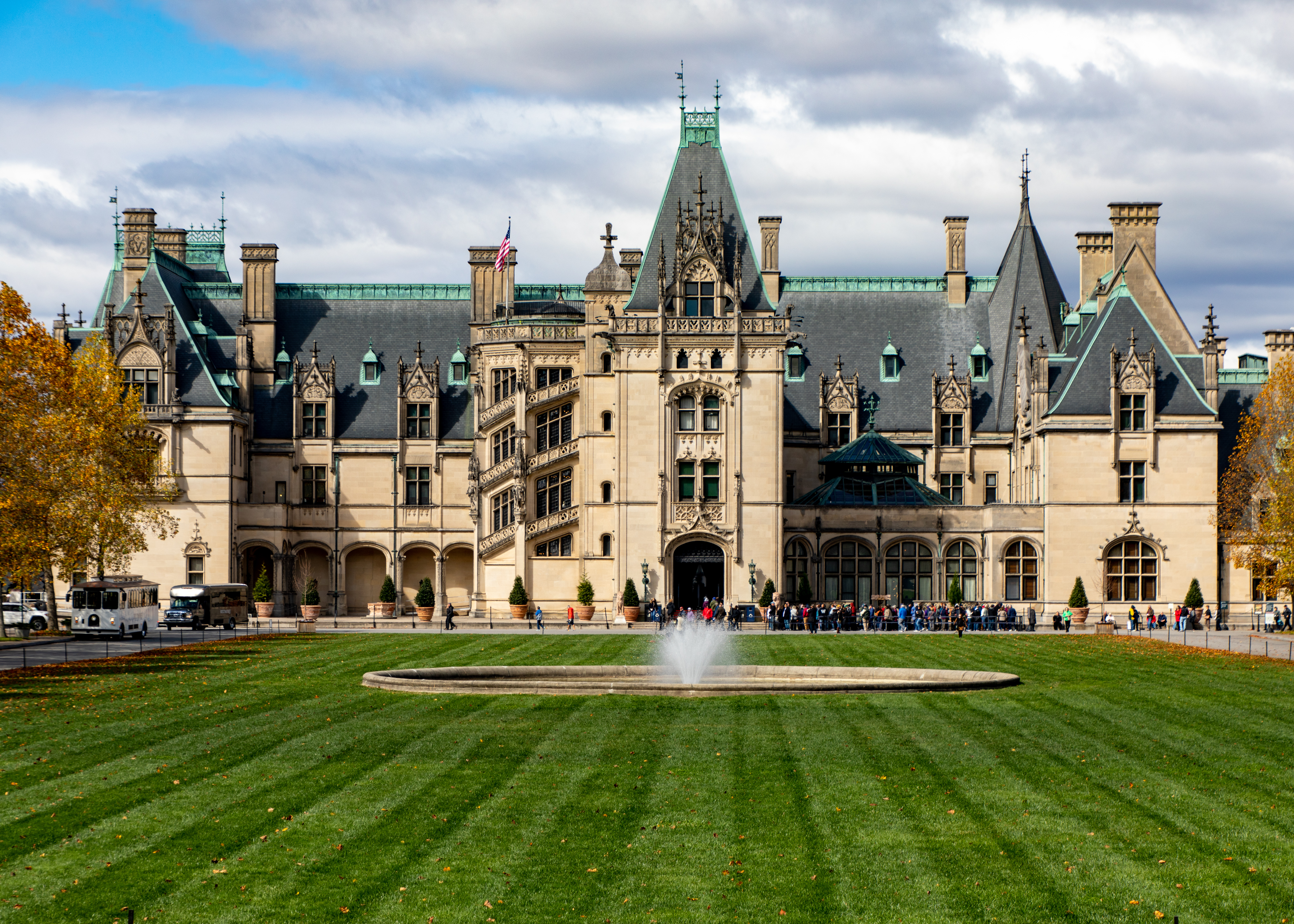
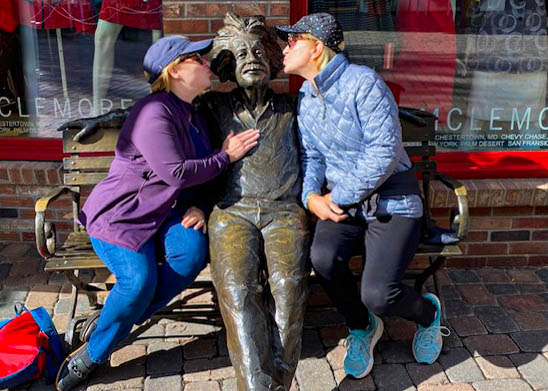
We had the opportunity to get a discounted stay at Biltmore’s Village Inn, tour the mansion and experience a Di Vince immersive exhibit. Along with an add-on view of some of the fall scenery in western North Carolina.


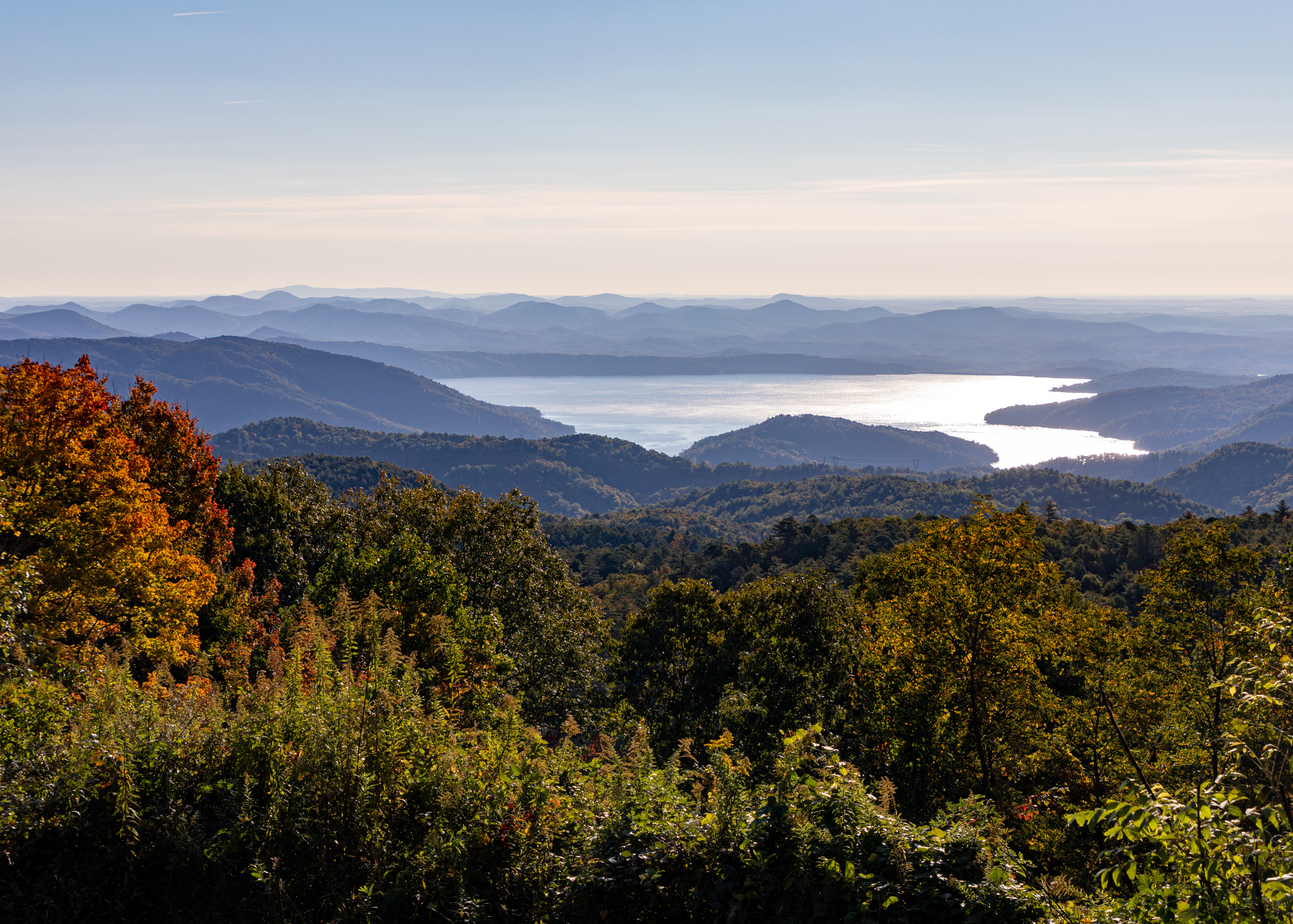
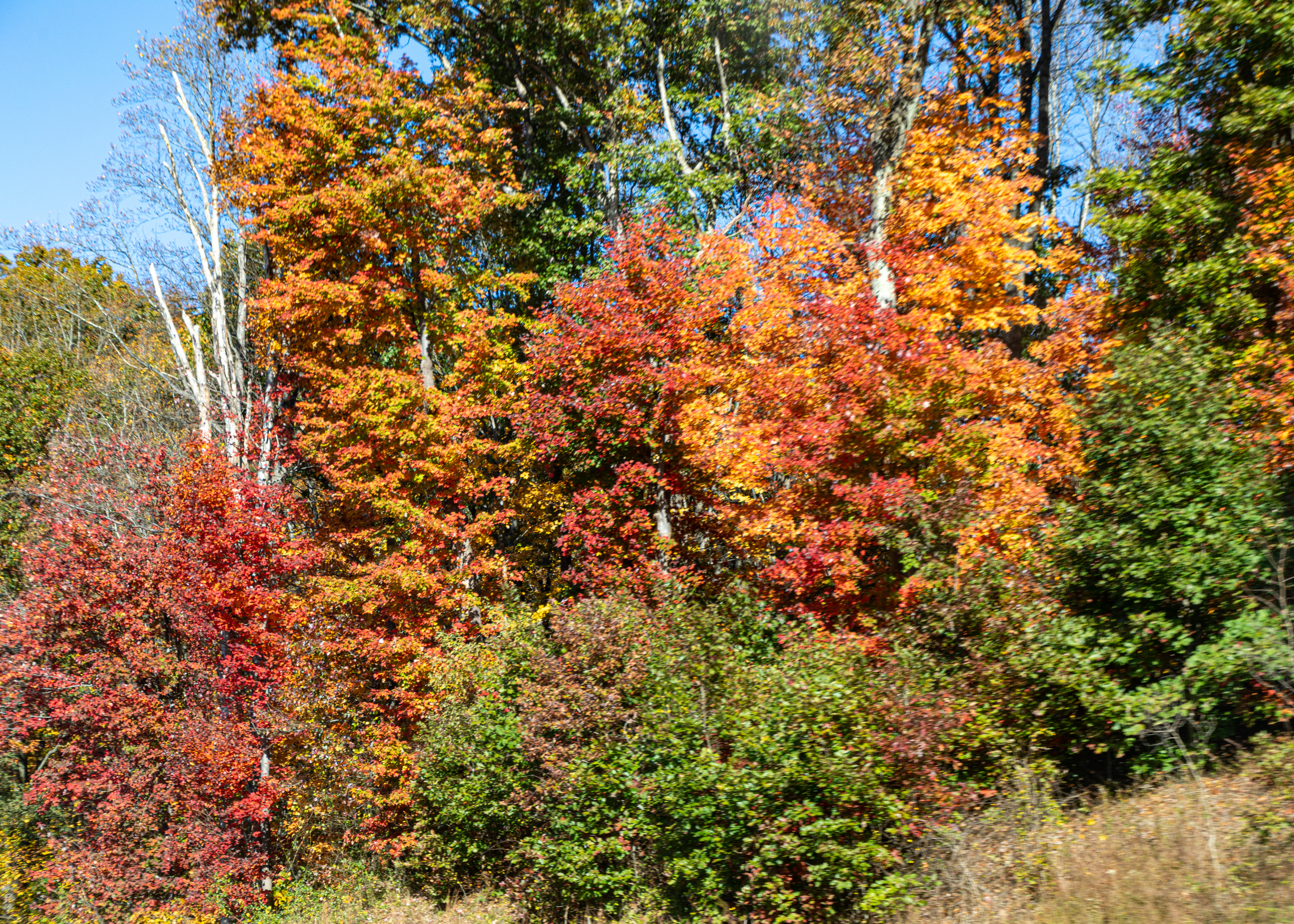
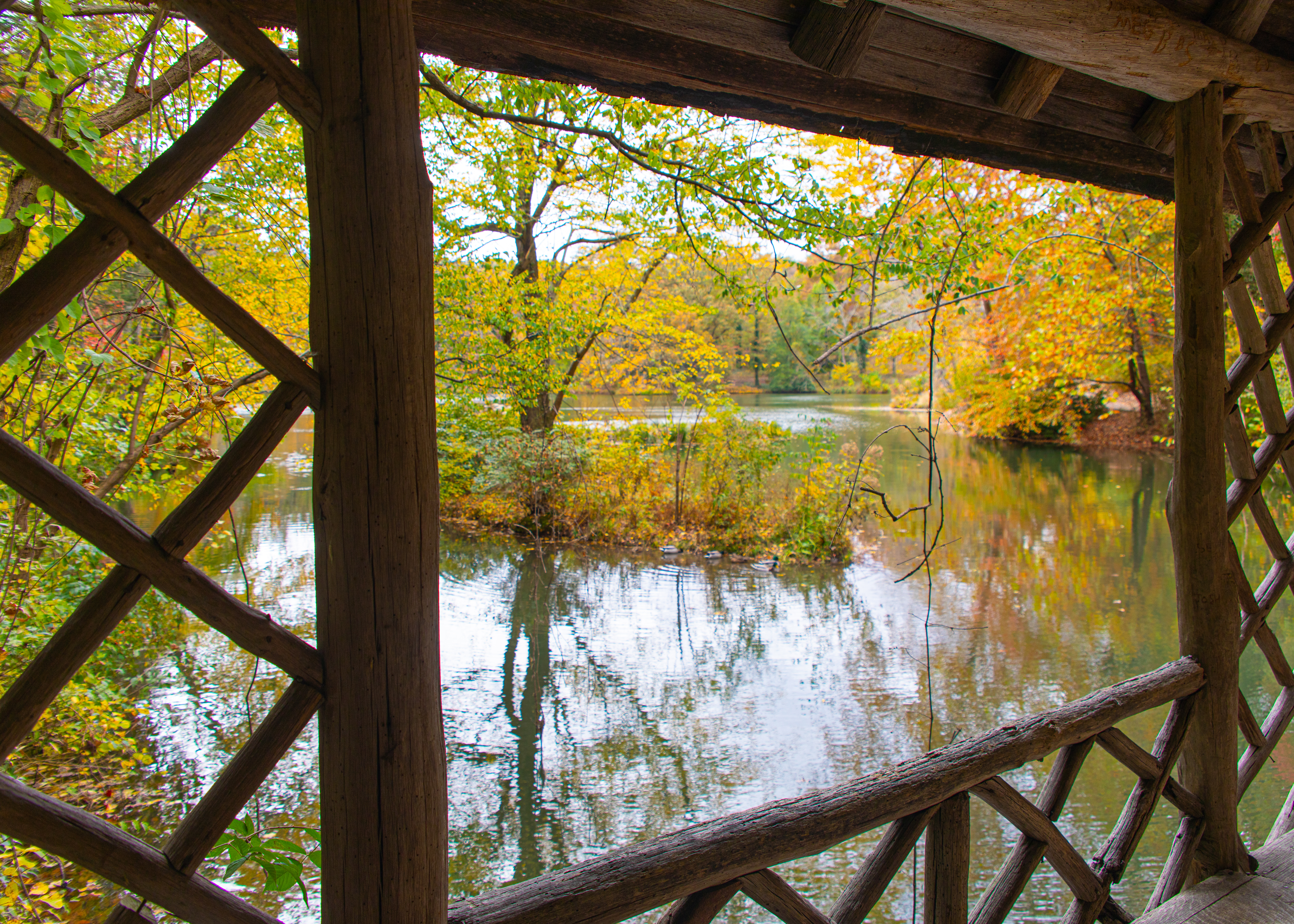
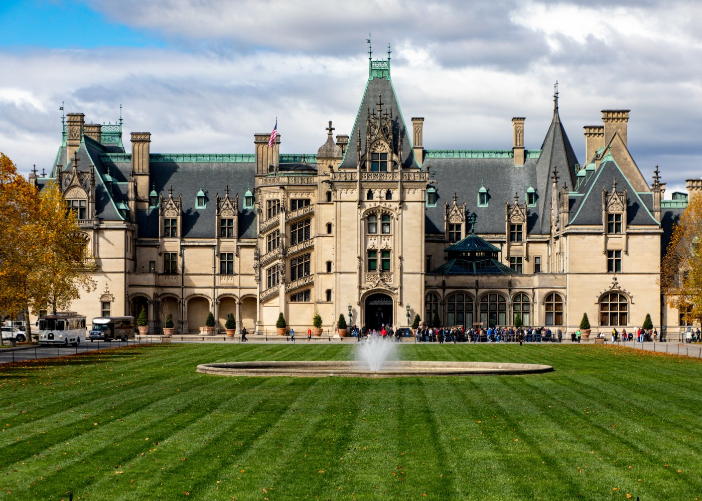
We had the opportunity to get a discounted stay at Biltmore’s Village Inn, tour the mansion and experience a Di Vince immersive exhibit. Along with an add-on view of some of the fall scenery in western North Carolina.
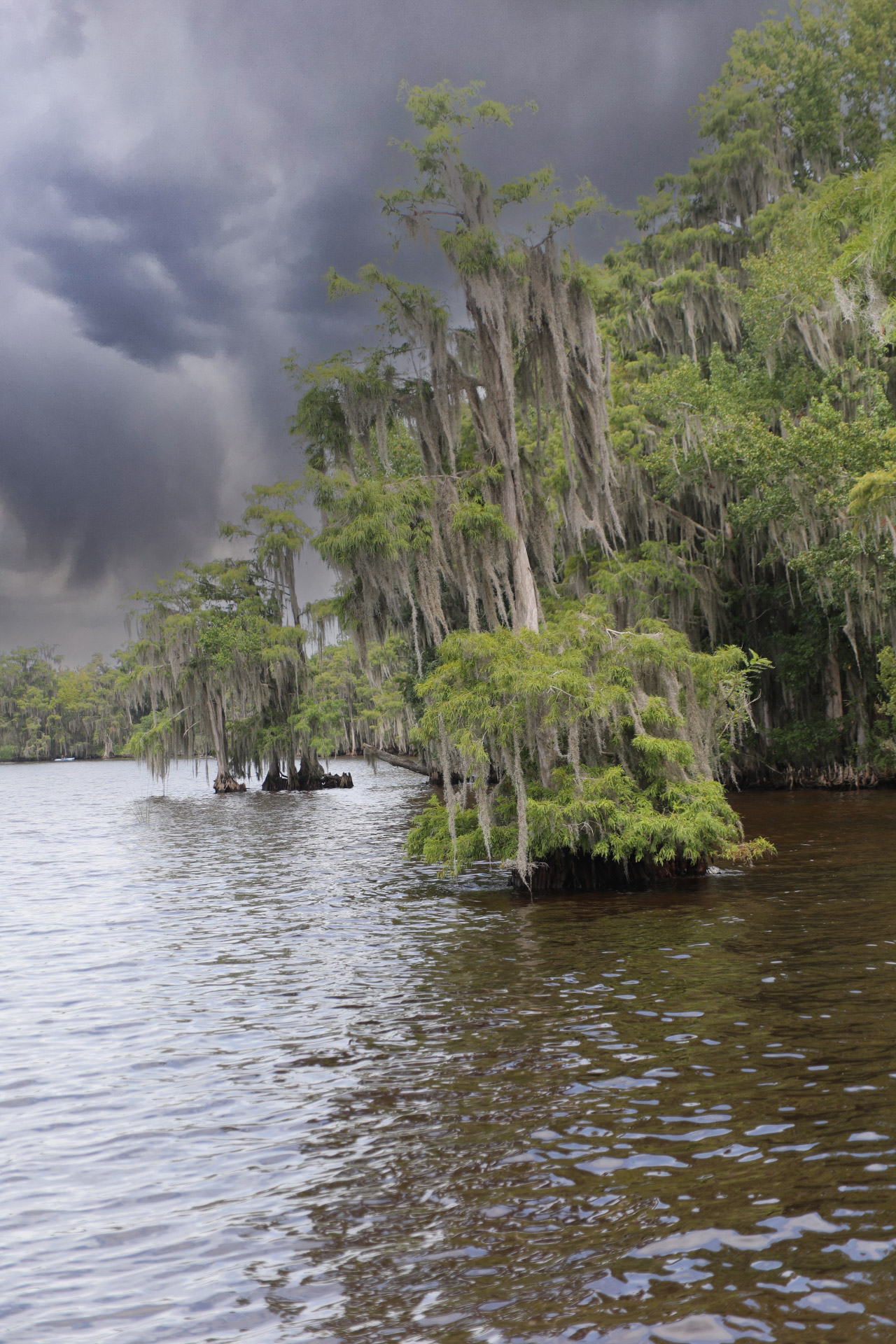
It’s been a great trip – good hiking, acceptable golf, and fine dining. We took two short hikes before our final round of golf.
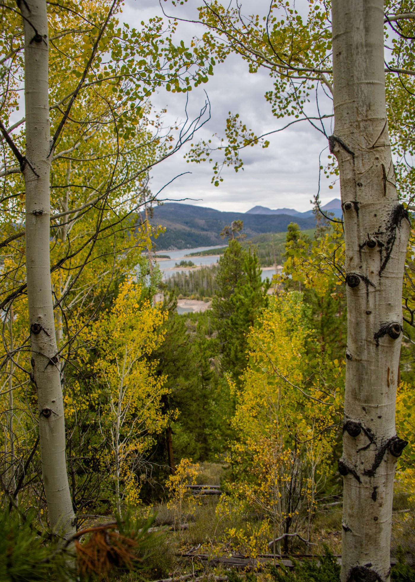
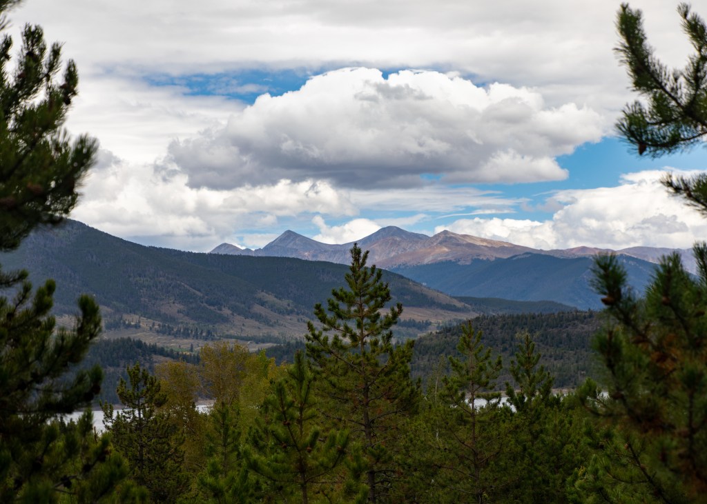
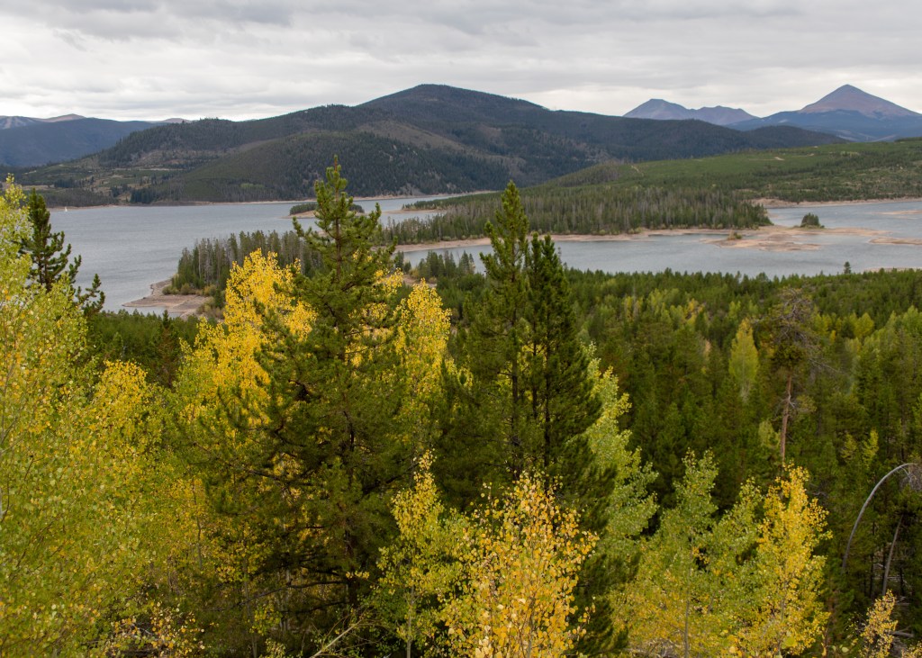
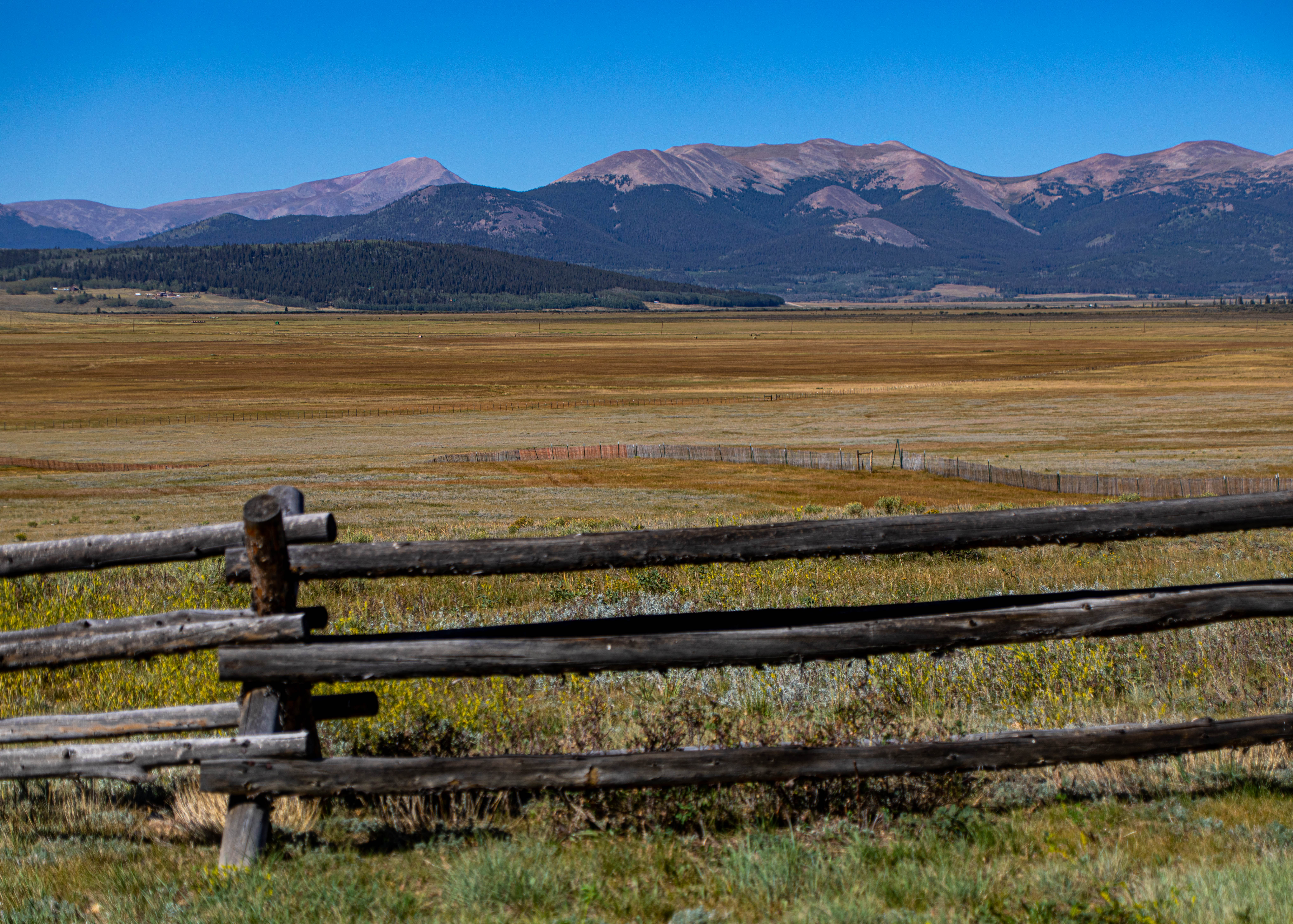
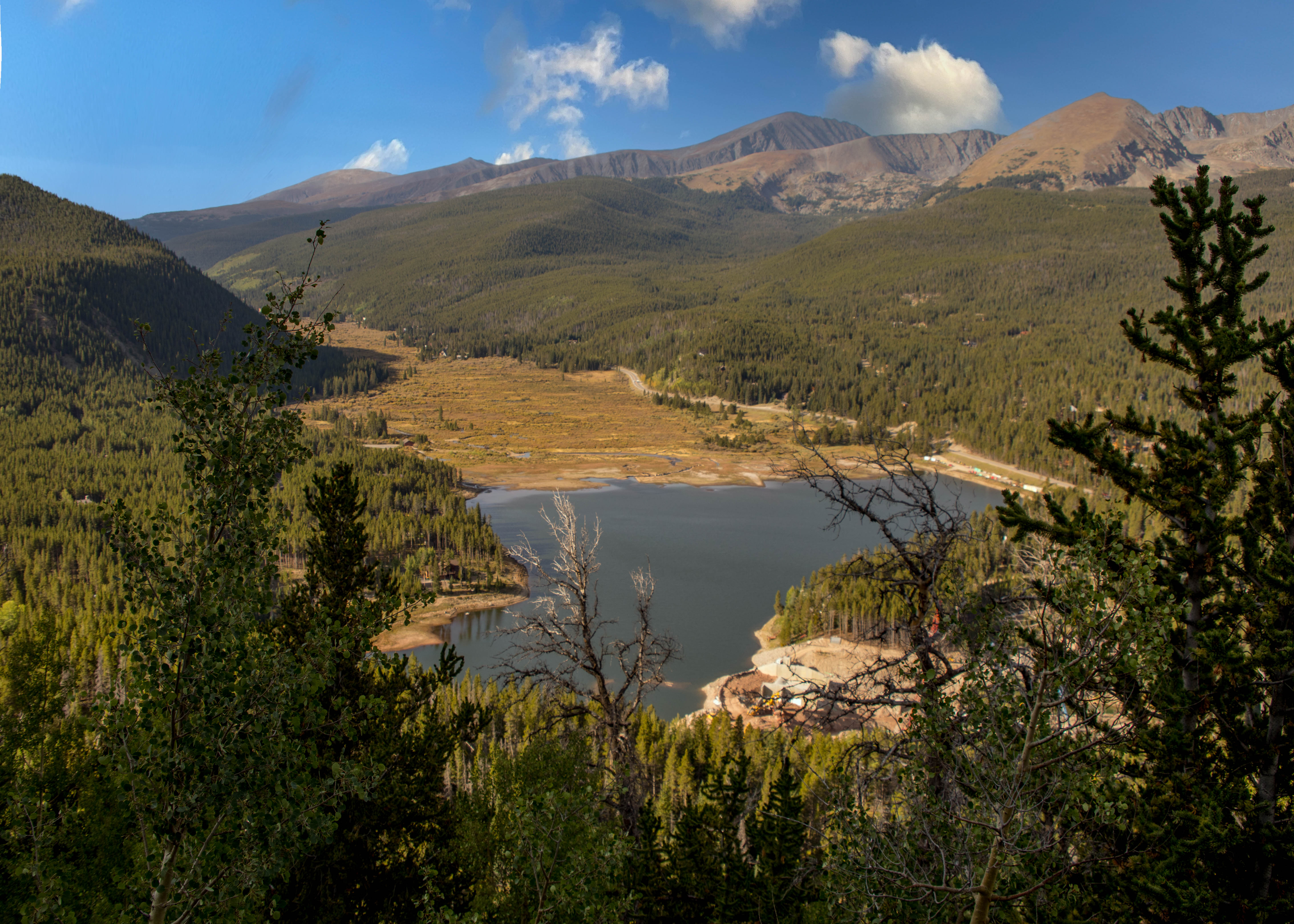
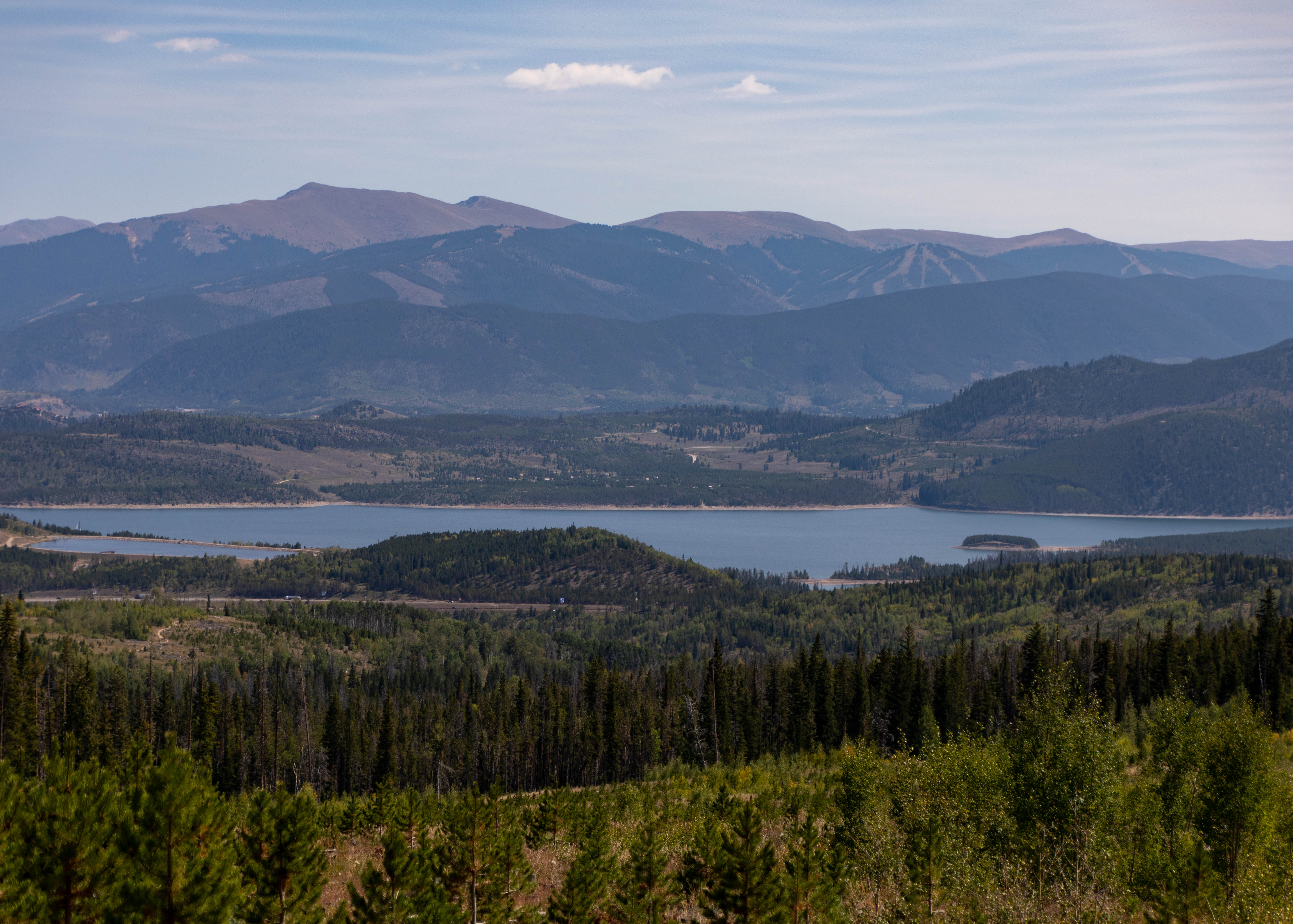
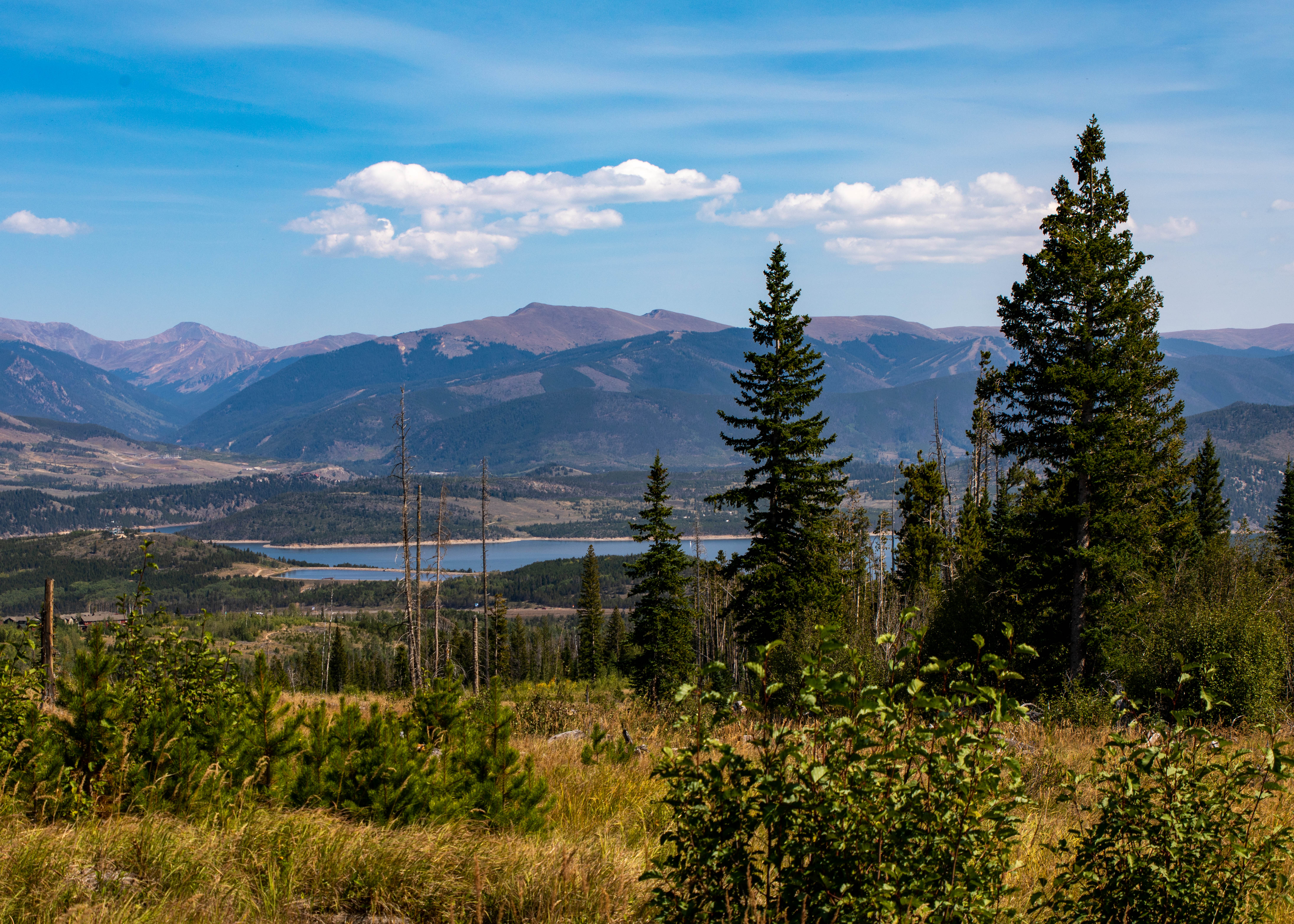
Sapphire Point Overlook is one of the most popular hikes in the county. The hike offers stunning views of the Tenmile Range and Lake Dillon. Sapphire Point Overlook is located at the top of Swan Mountain Pass. The trail is flat, with very minimal elevation gain throughout the 0.6-mile loop. The trail loops around the top of Swan Mountain. As you continue around the loop, you see views of Grays and Torreys Peaks, two fourteener-foot mountains along the Continental Divide.
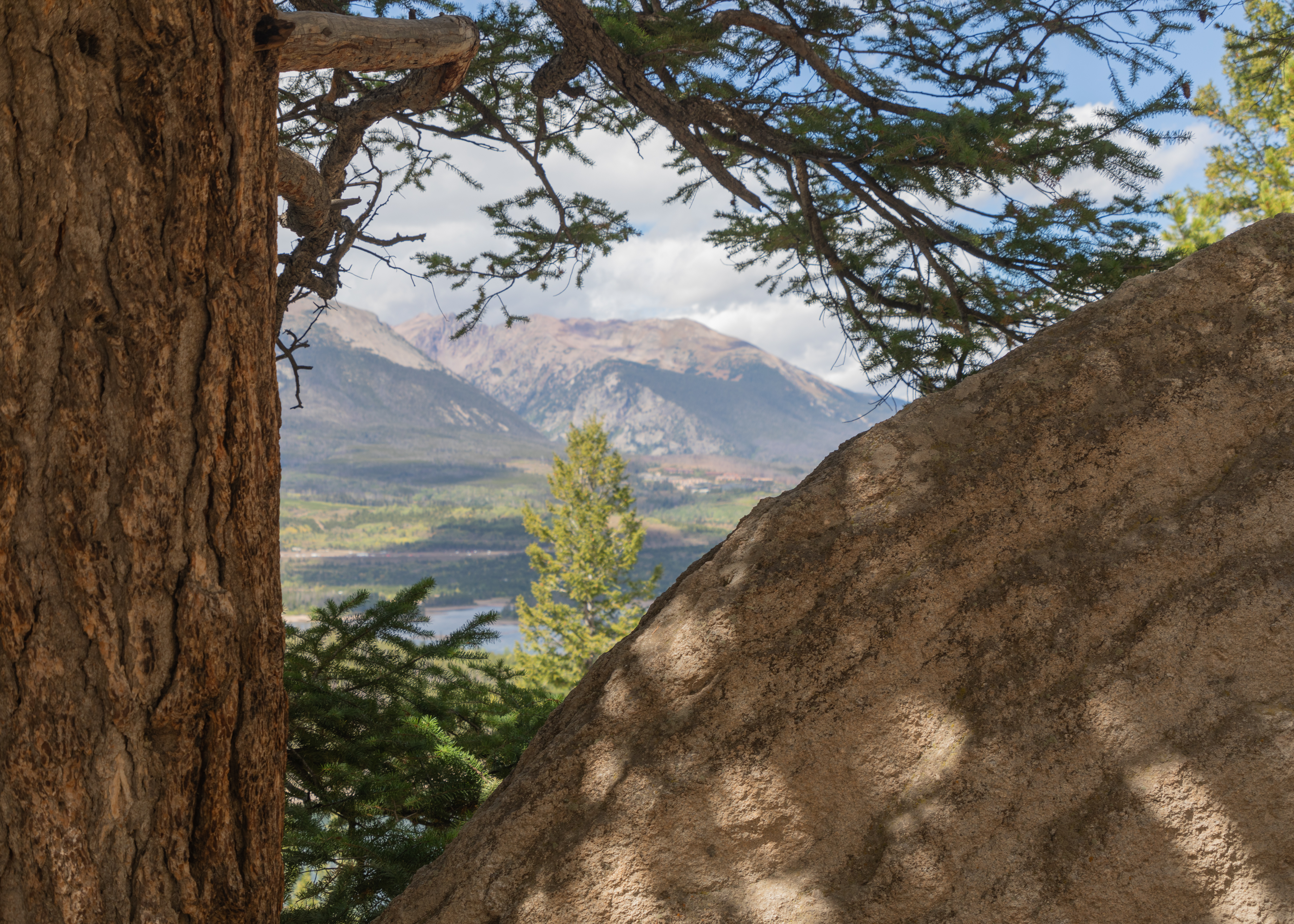
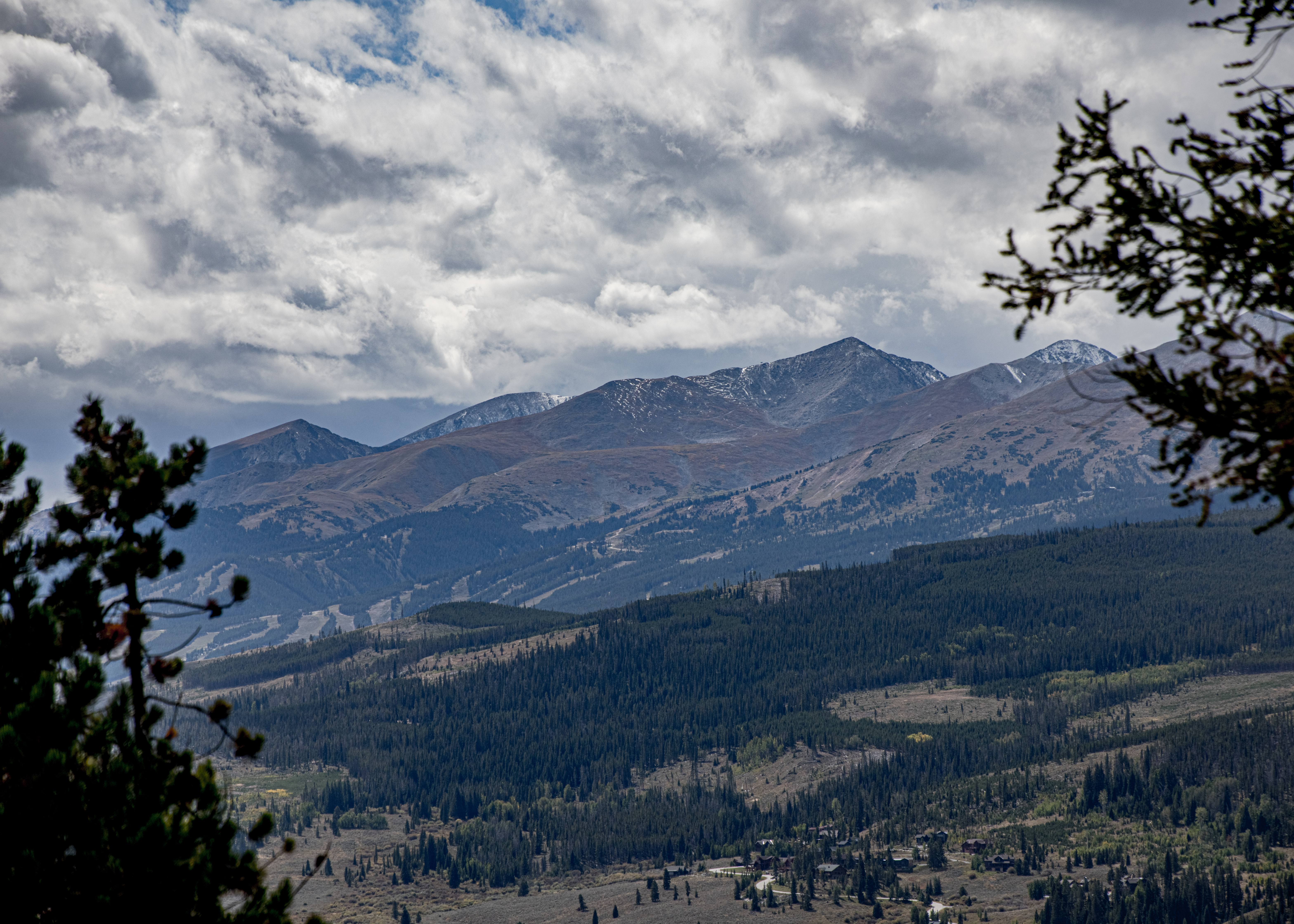

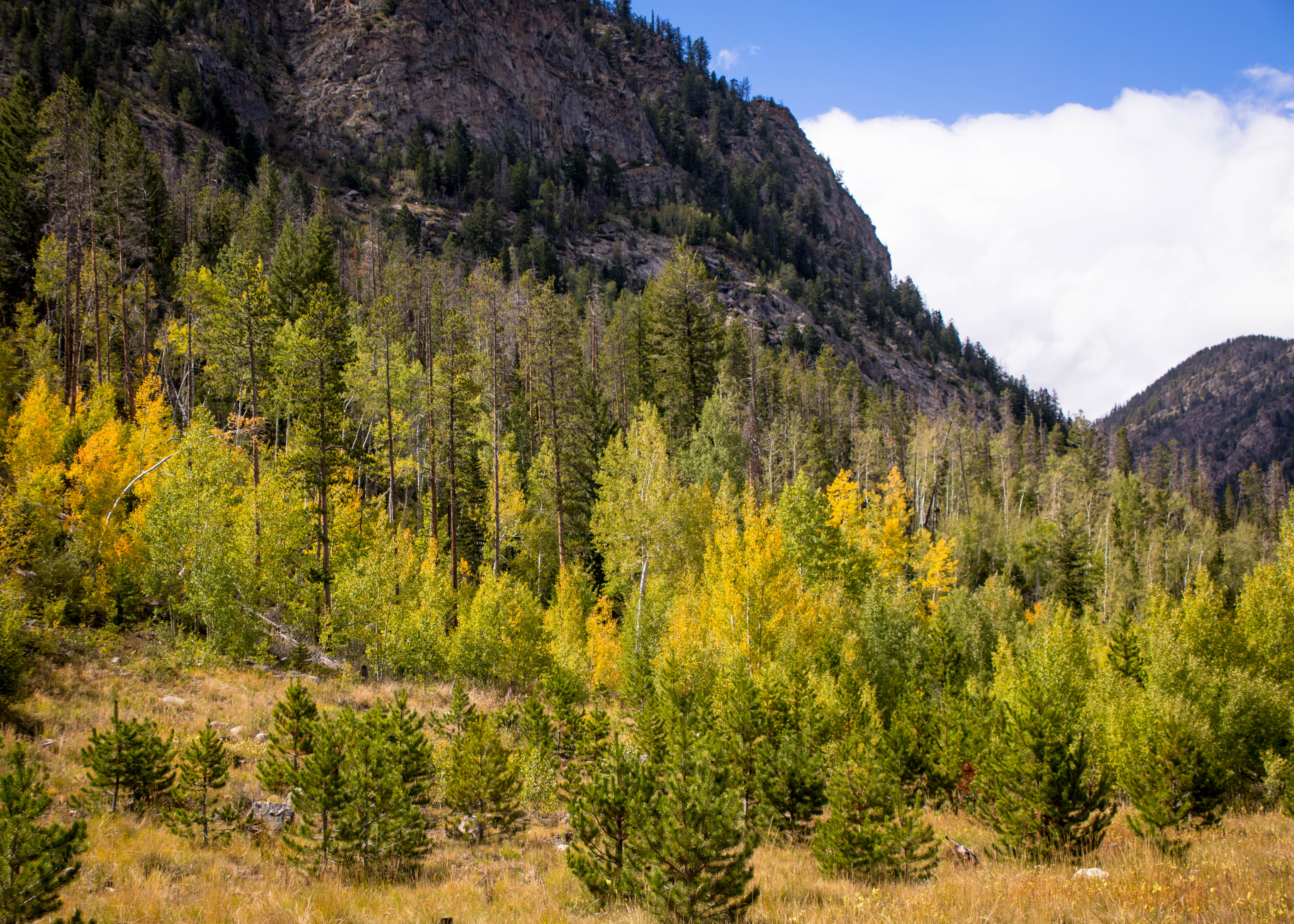
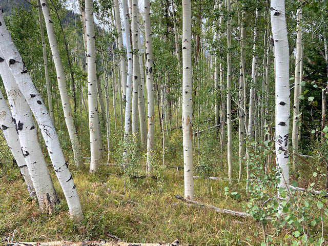
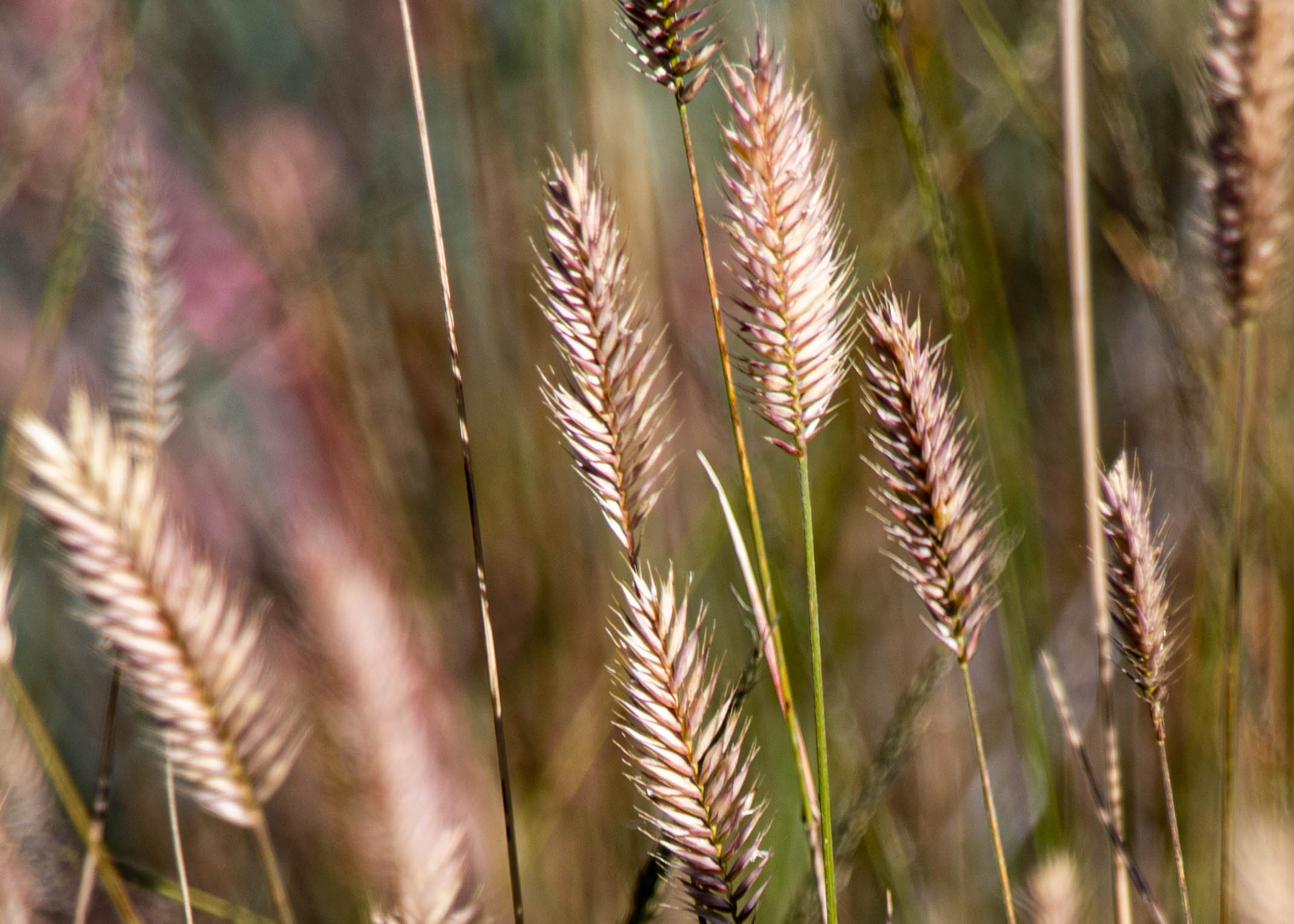
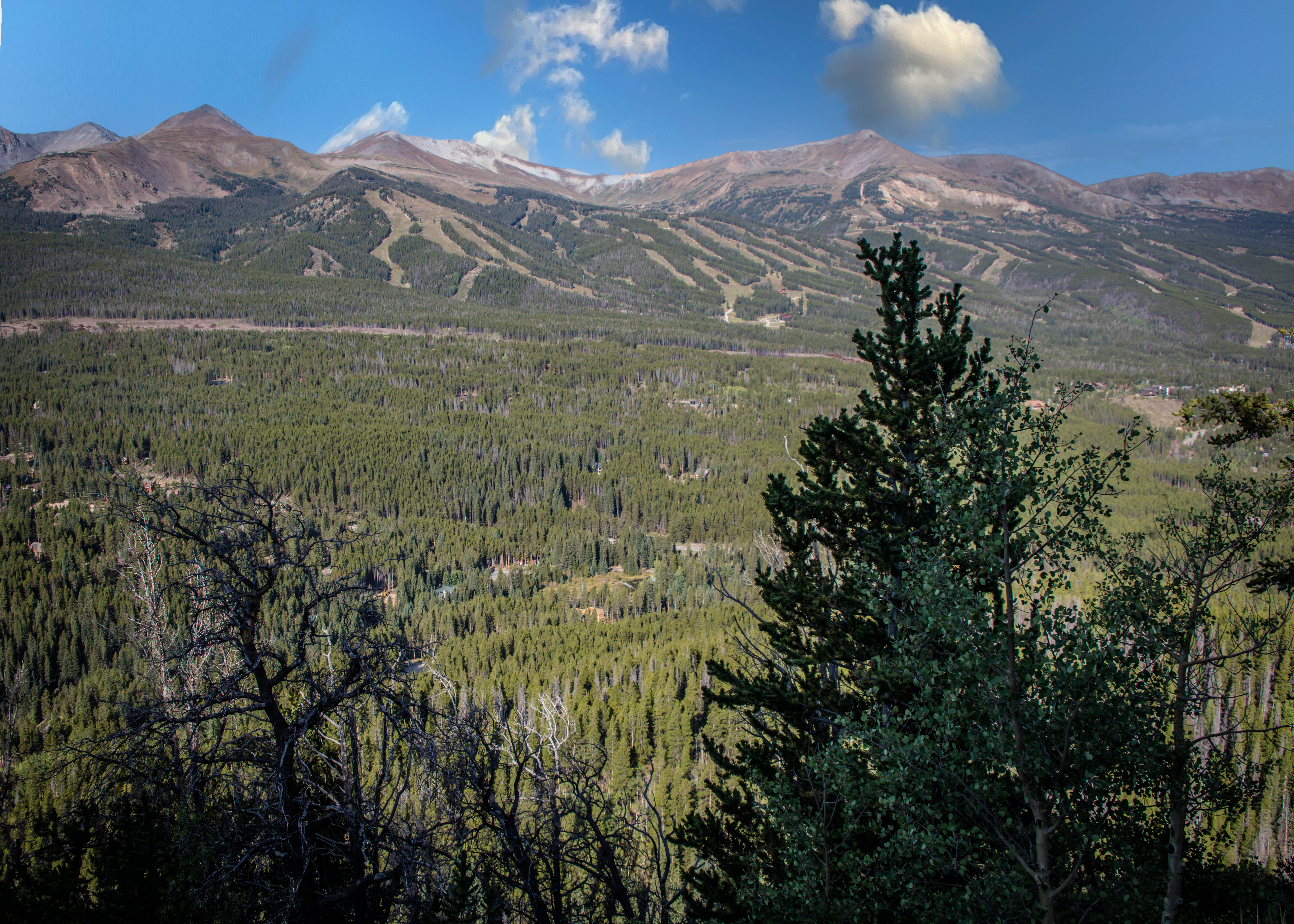
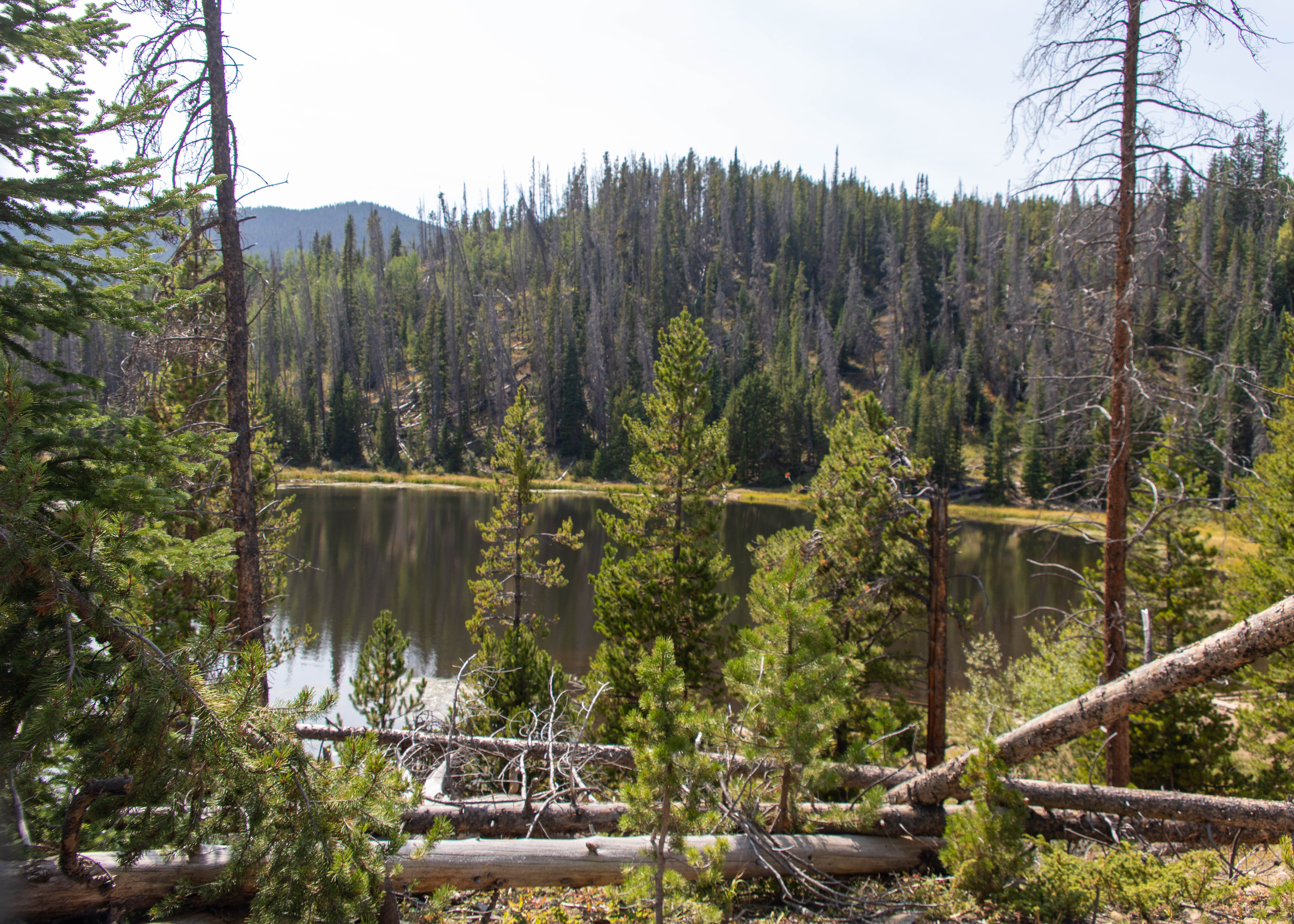
Our last hike was an easy trail that has spectacular views of the mountains of the Tenmile Range and the Continental Divide. The Old Dillon Reservoir was built in the 1930’s to supply water to the original town of Dillon, which is now covered by the new Dillon Reservoir. The trail is an easy 1.7 mile out and back. Just as we have seen all week long, we are about two weeks early for the Aspens to reach their full color. Timing is everything.


We never had a bad meal in Breckenridge, but I need to give a shout out to The Hearthstone Restaurant for one of the best meals I’ve had and applause to Keystone golf courses for fun and challenges.

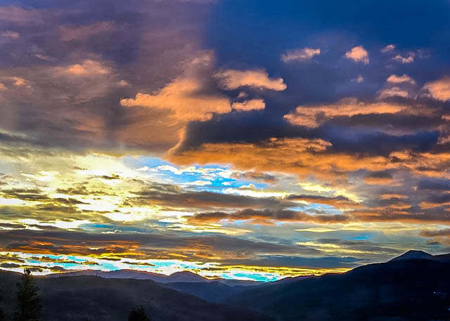
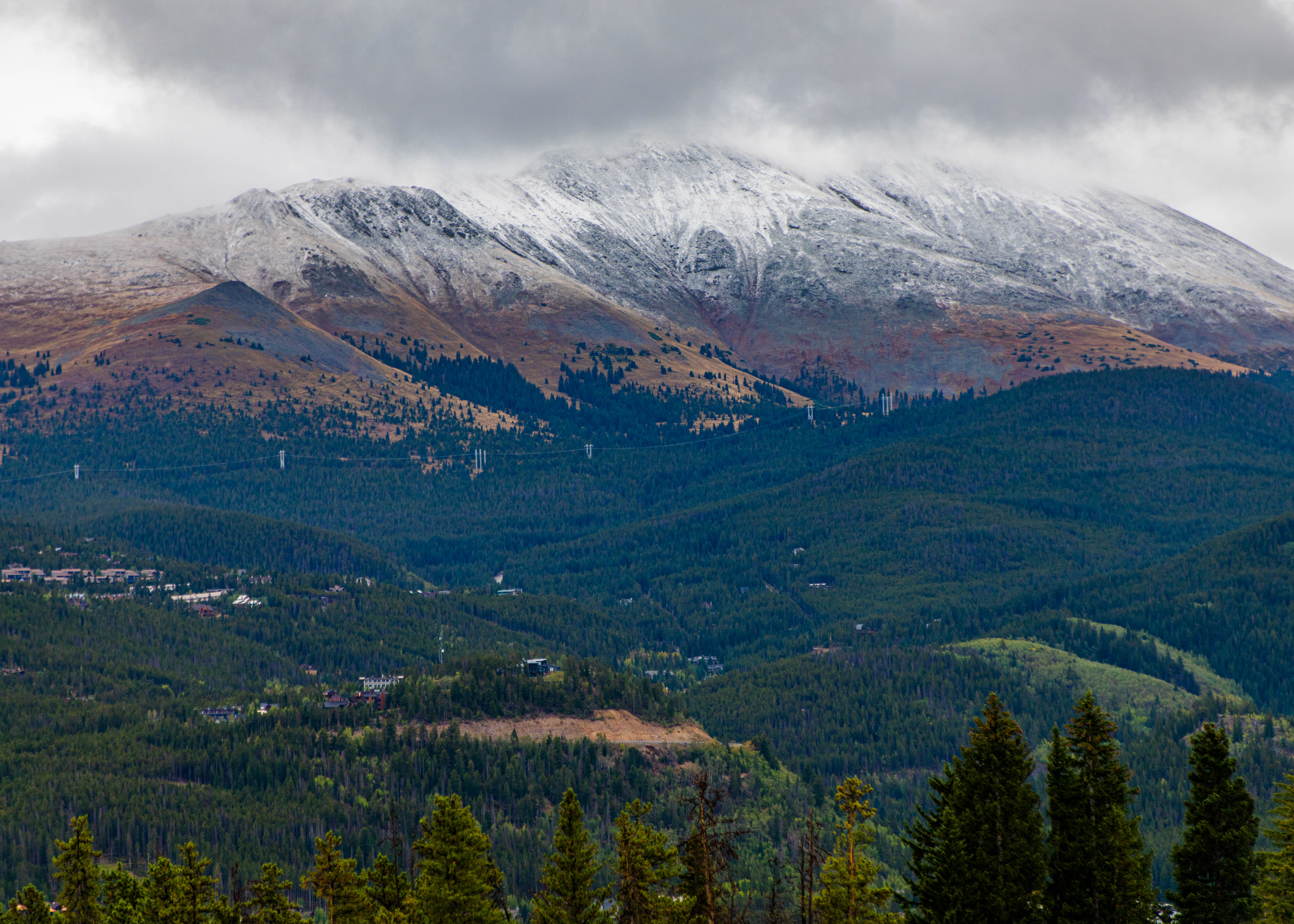
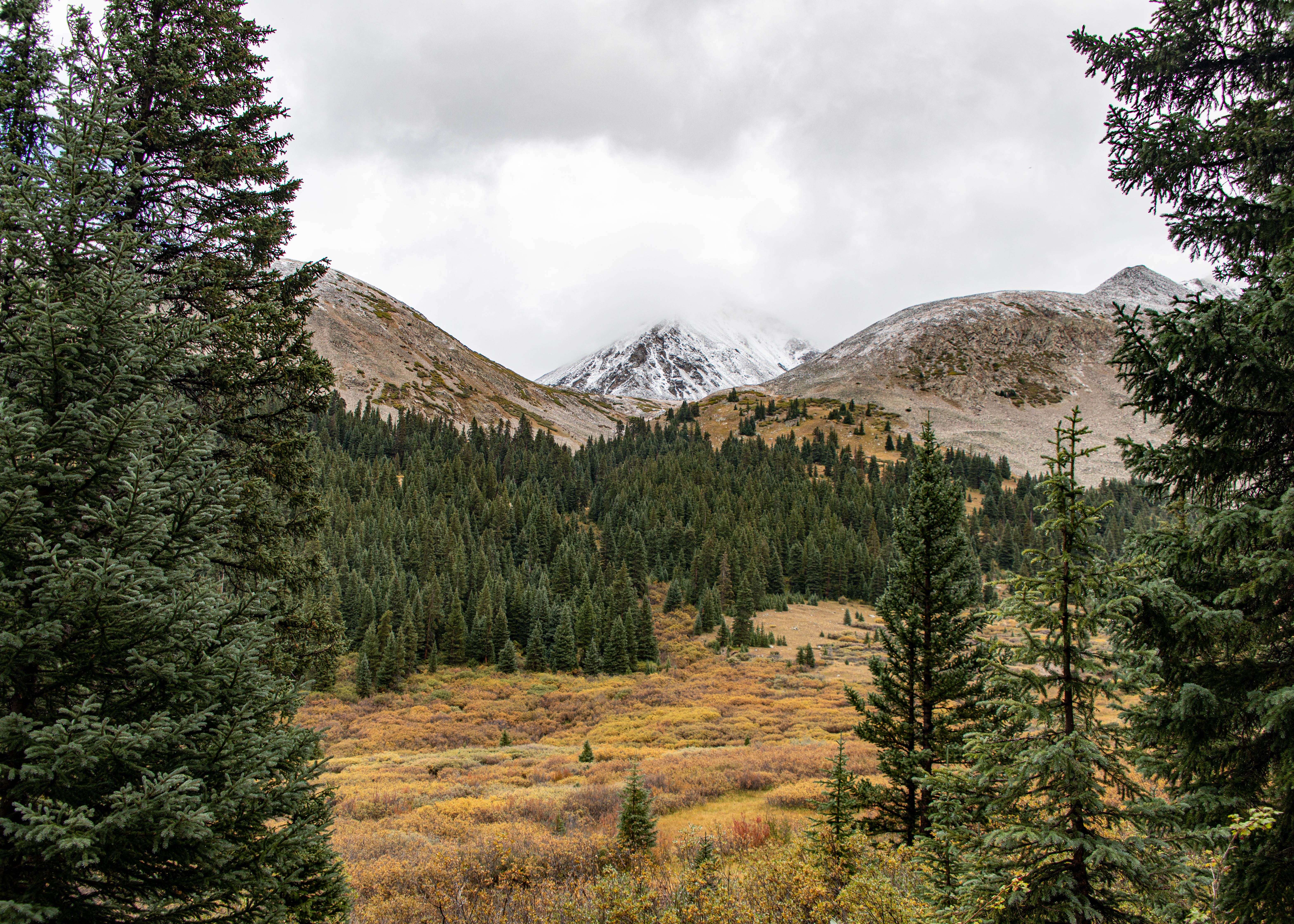
Sunrise views this morning then a surprise as the clouds lifted – 42 degrees and snow on the mountains. This didn’t deter us – we still headed out on our planned hikes.
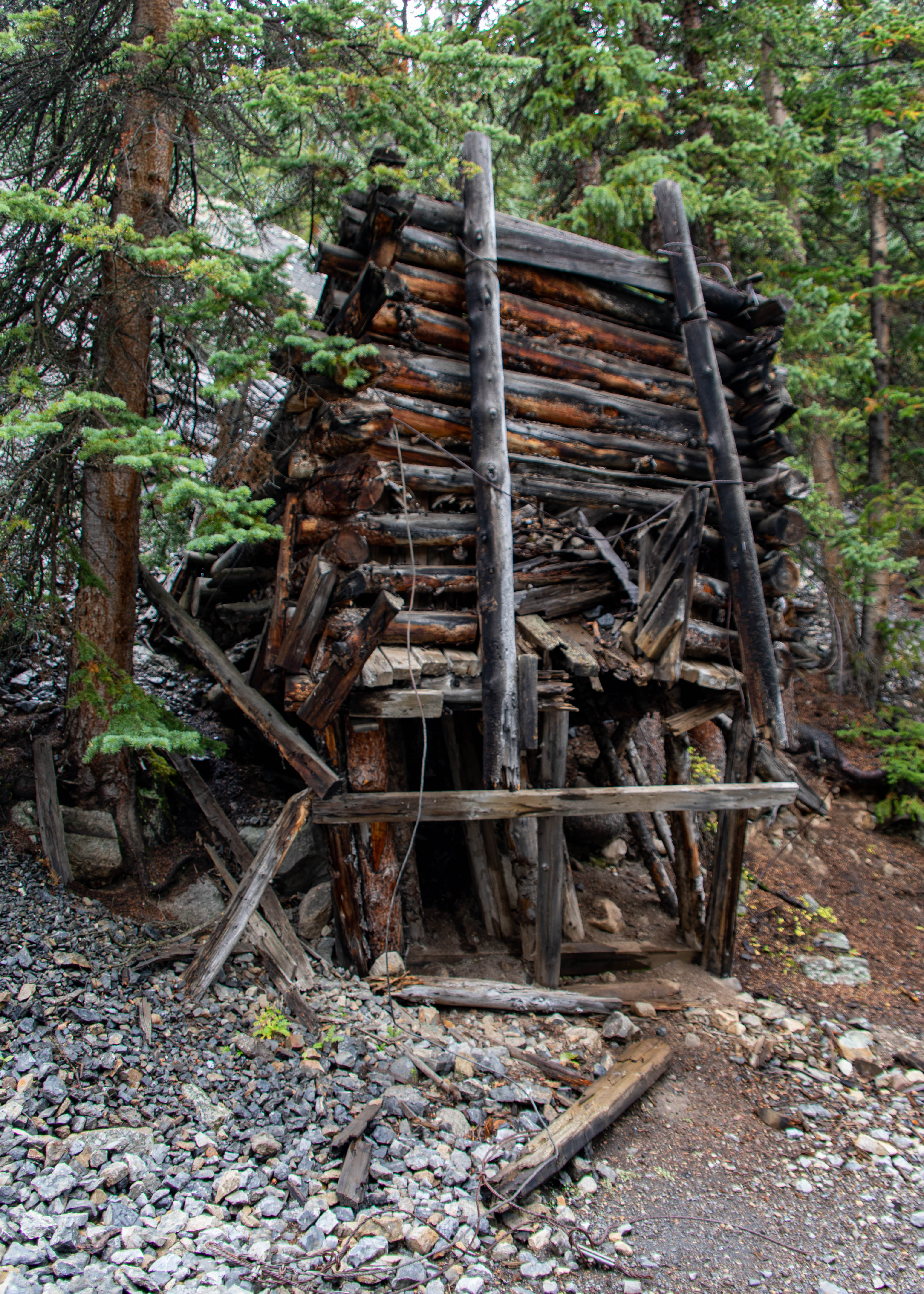
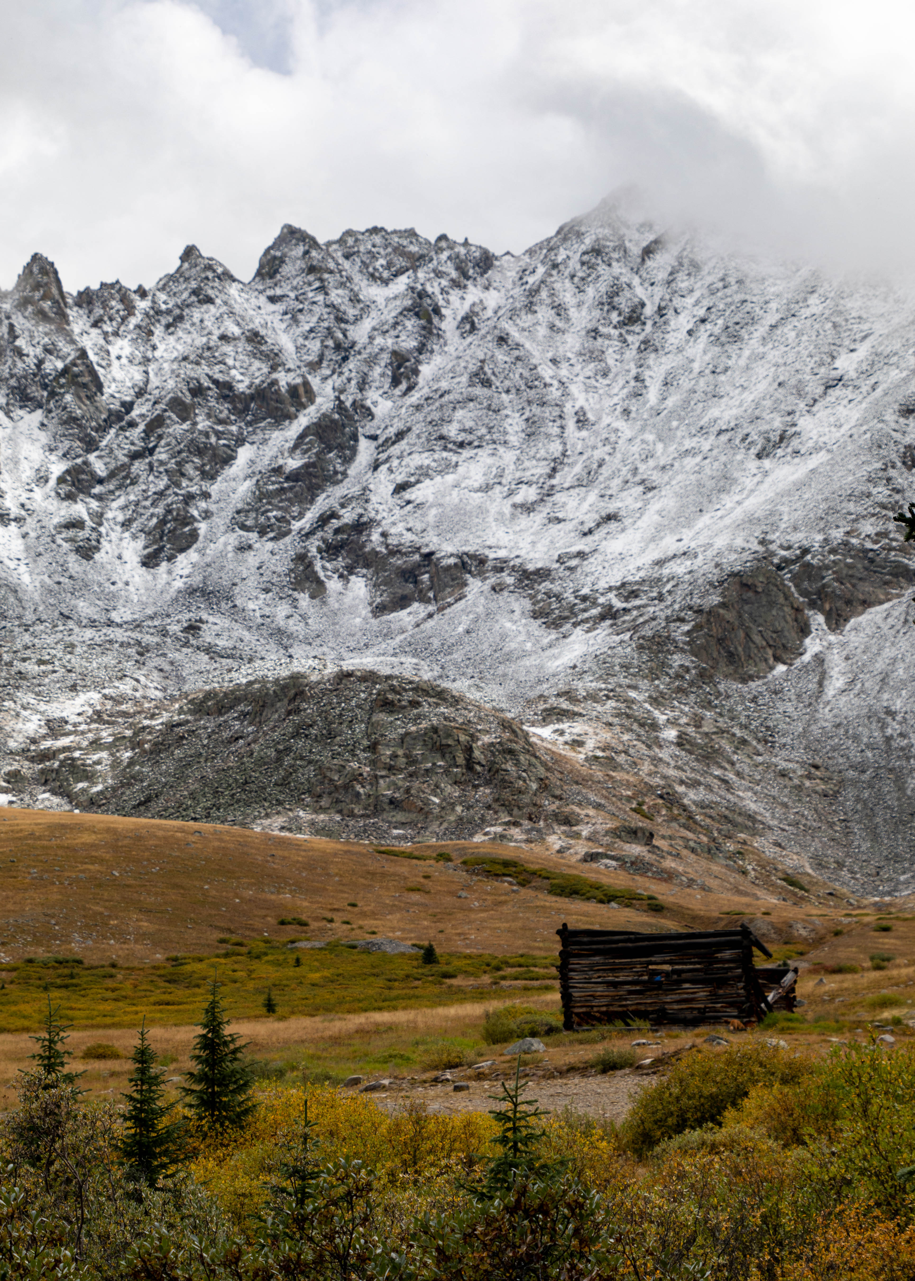
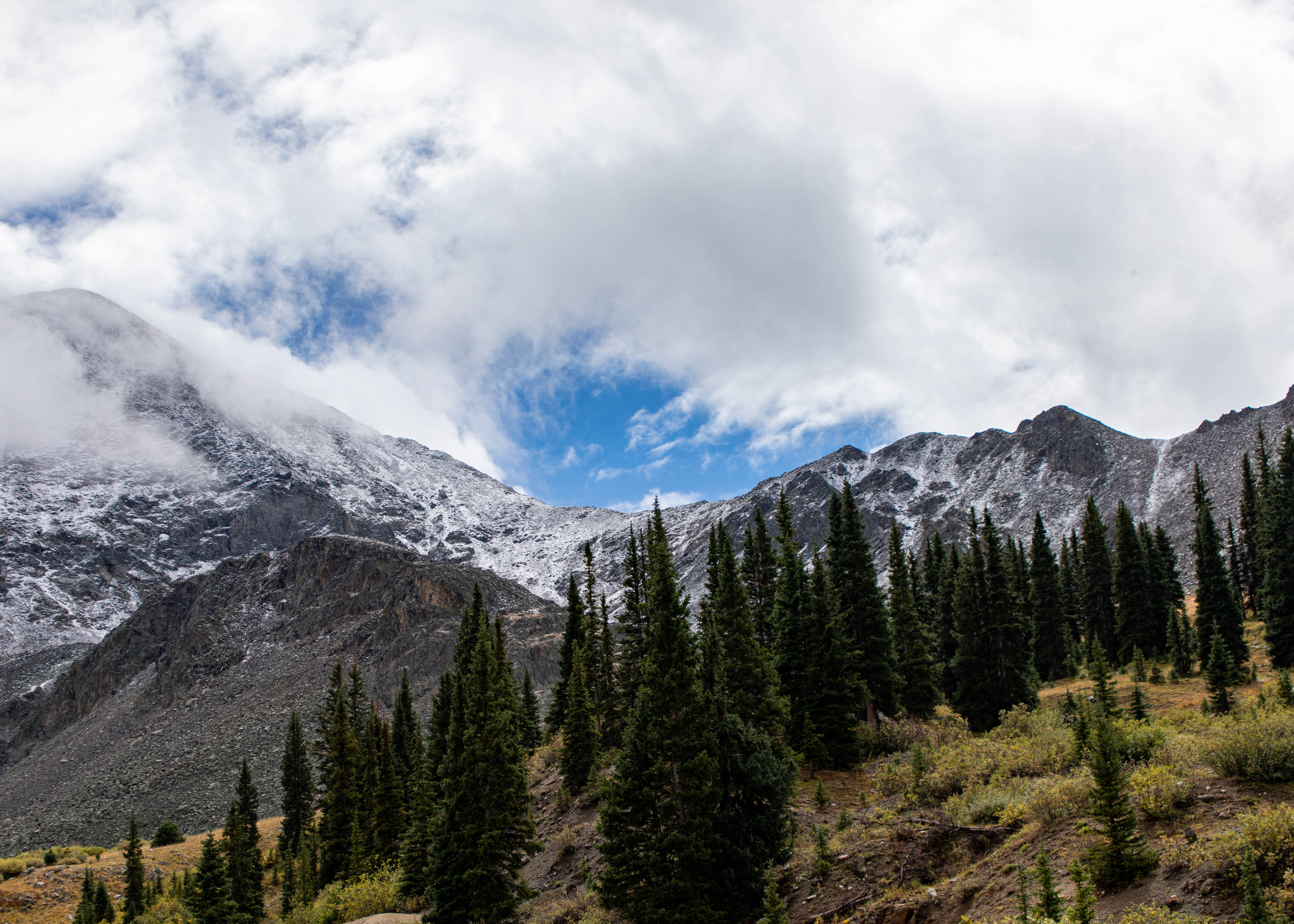
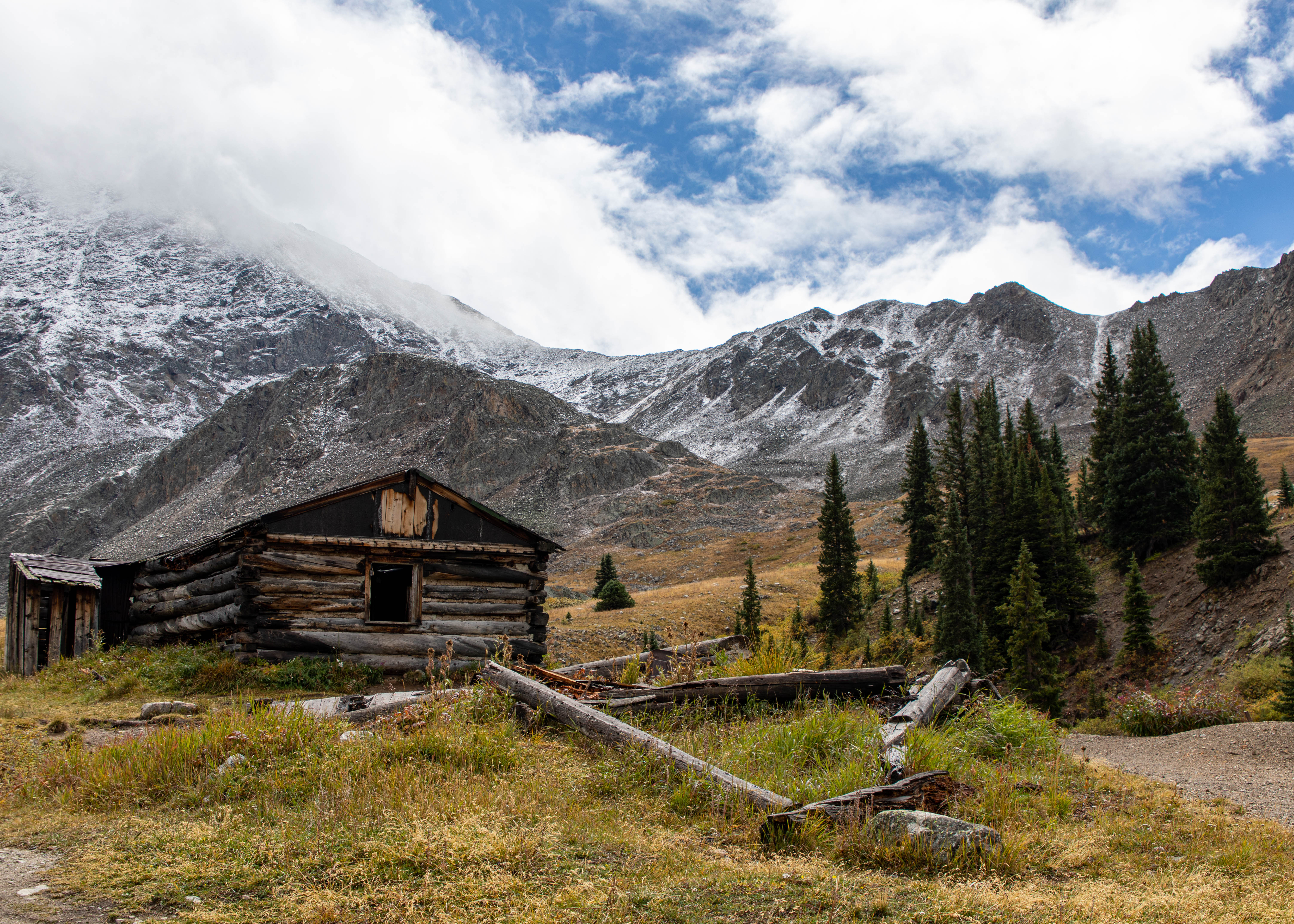
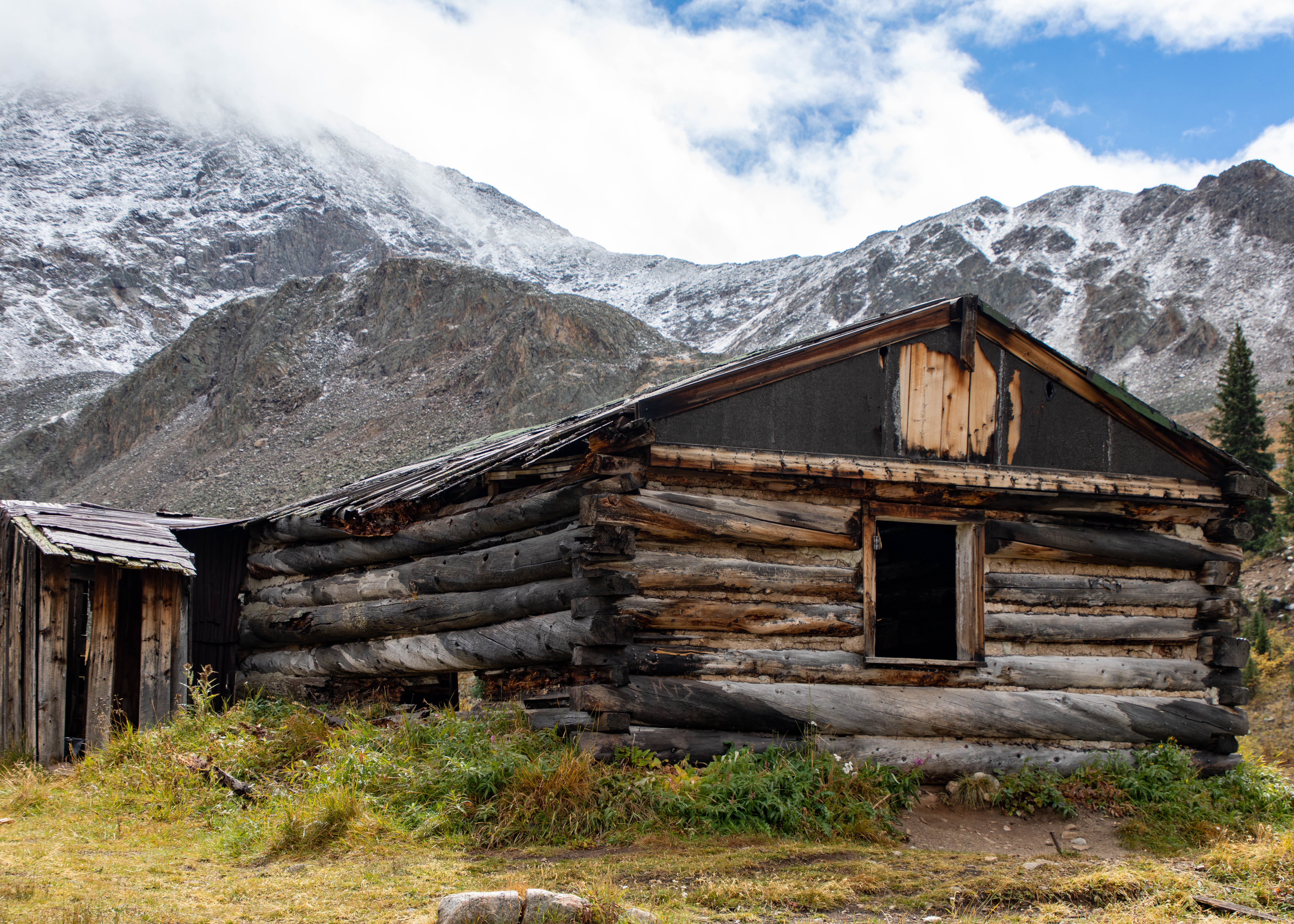
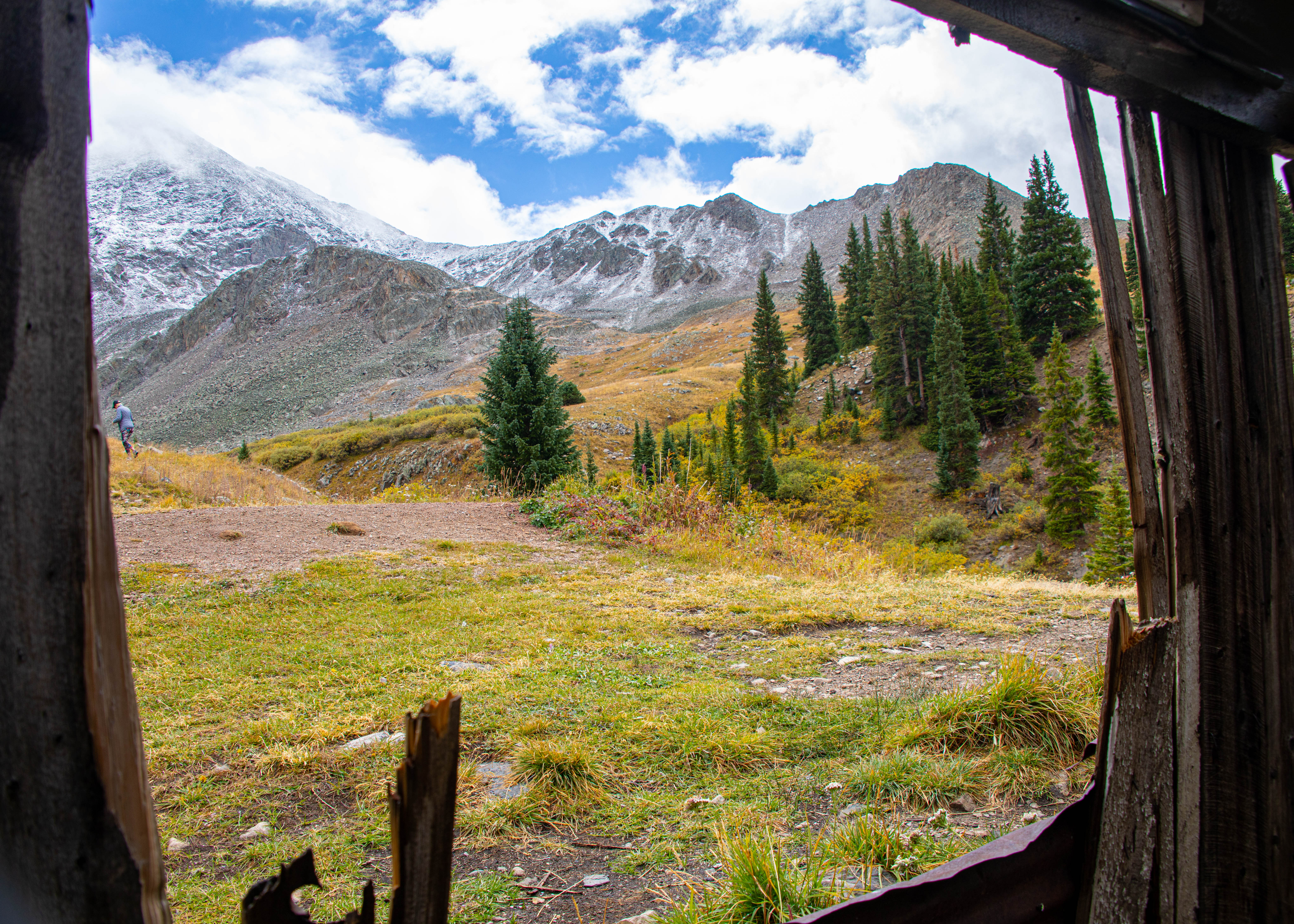
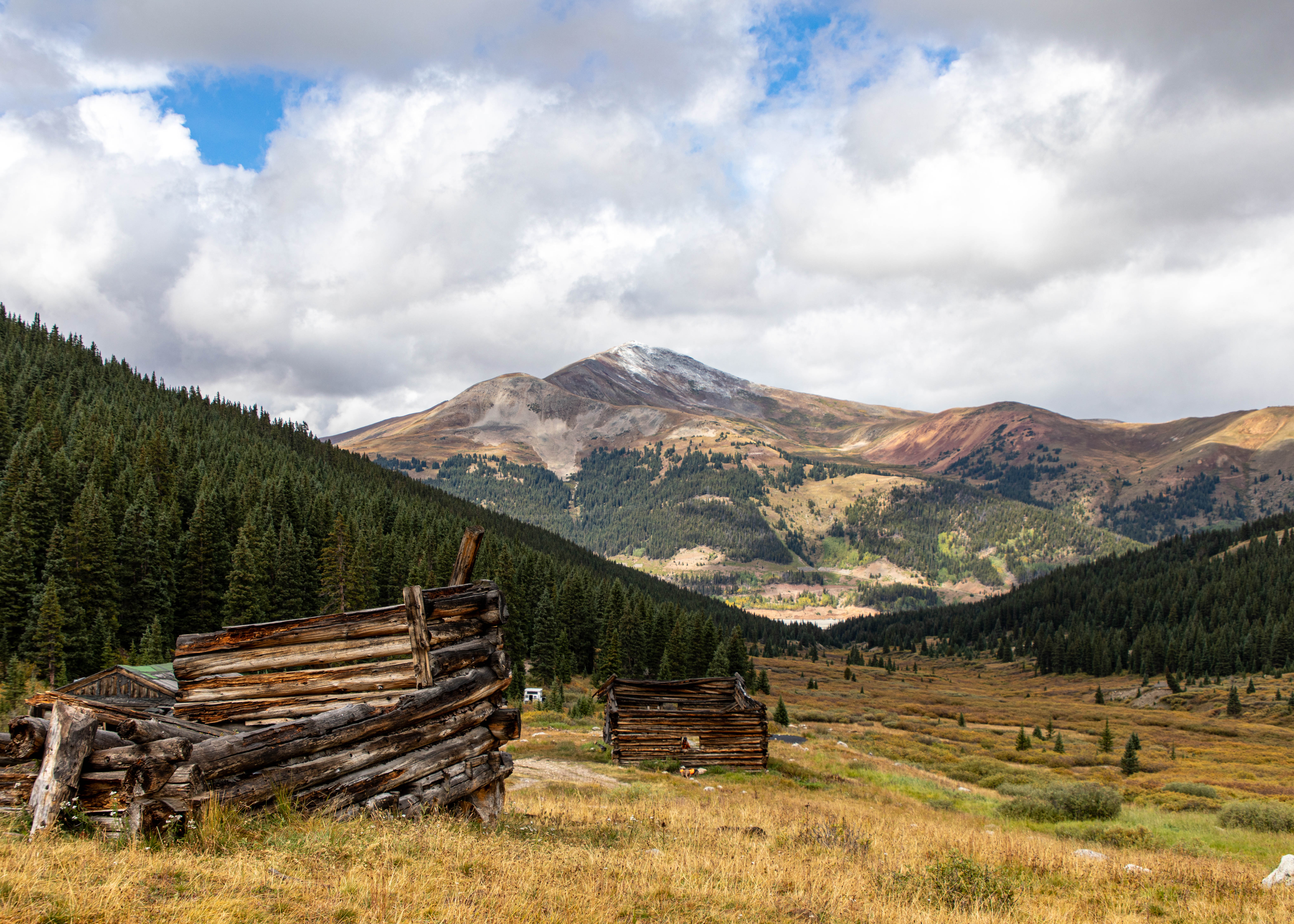
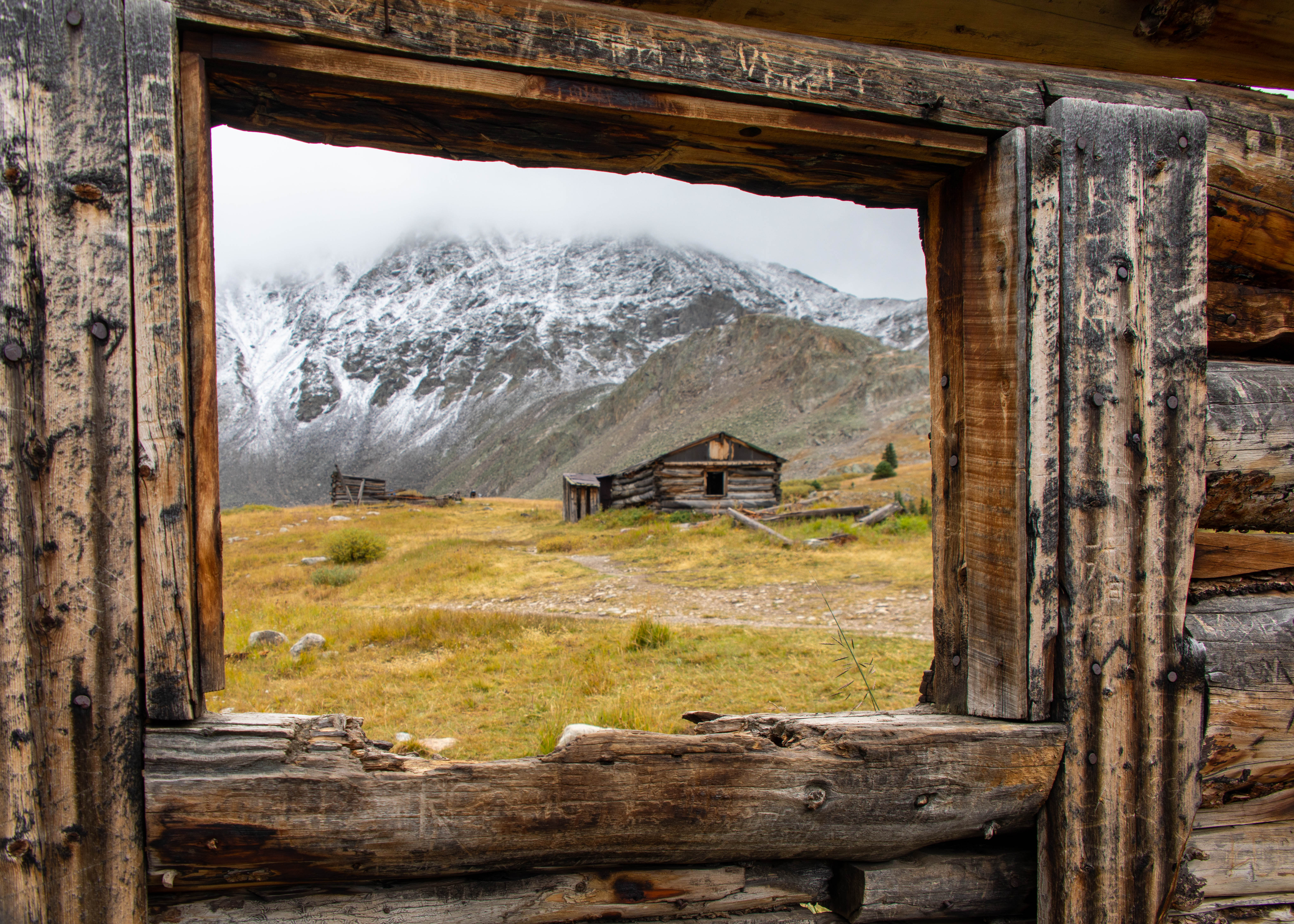
Our first hike was north of Frisco on the Mayflower Gulch Trail.
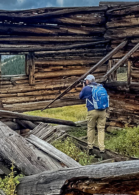
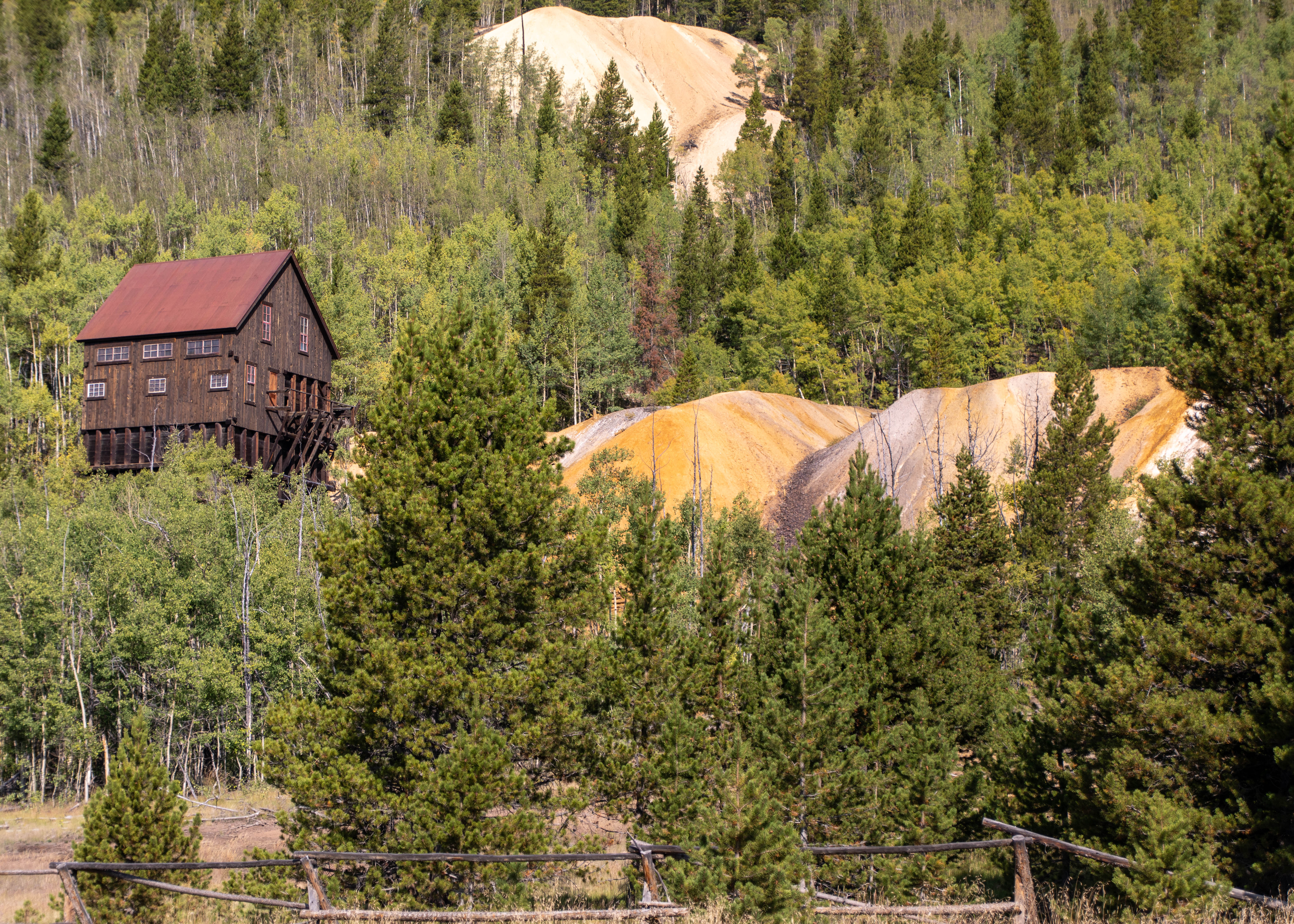
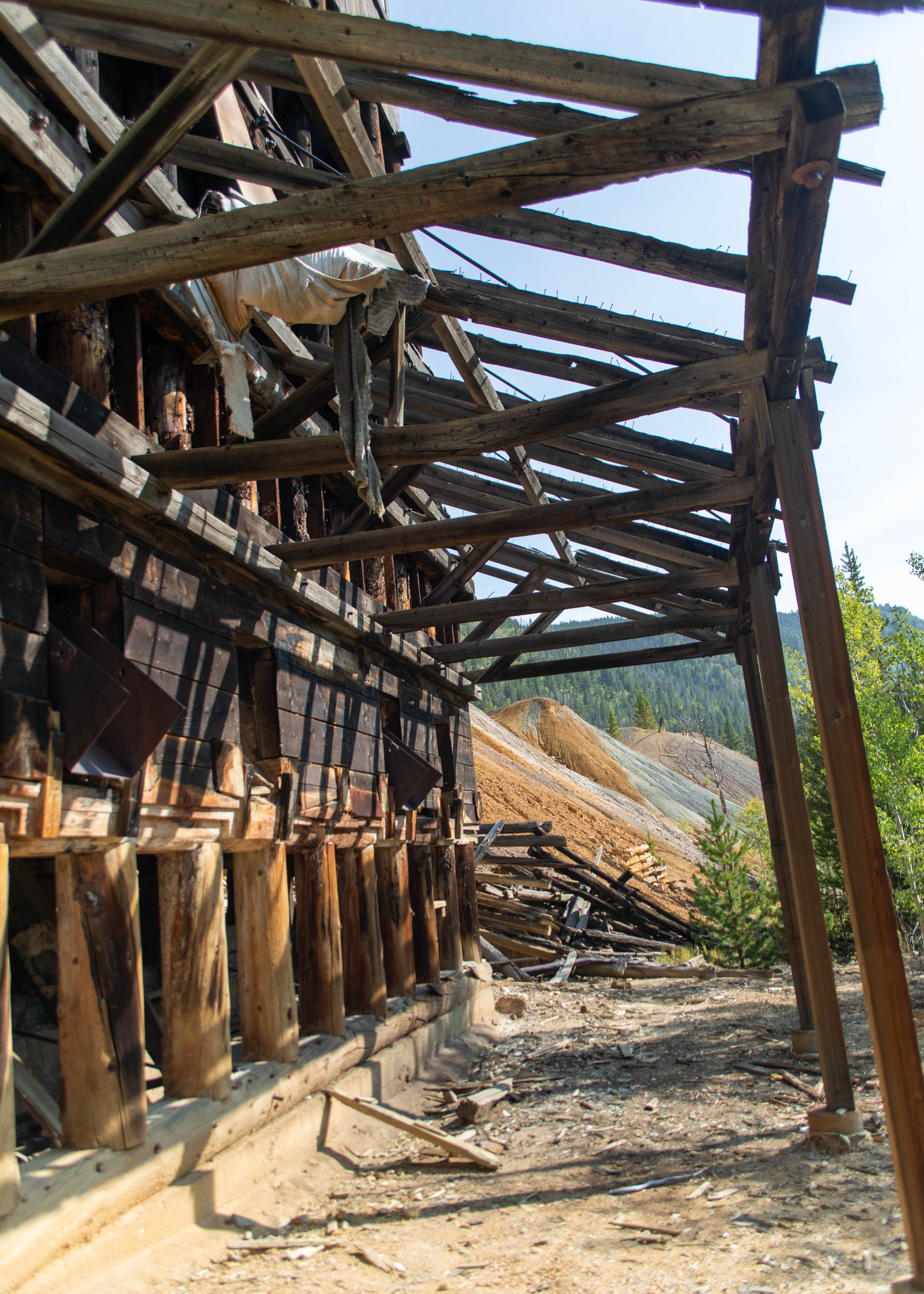
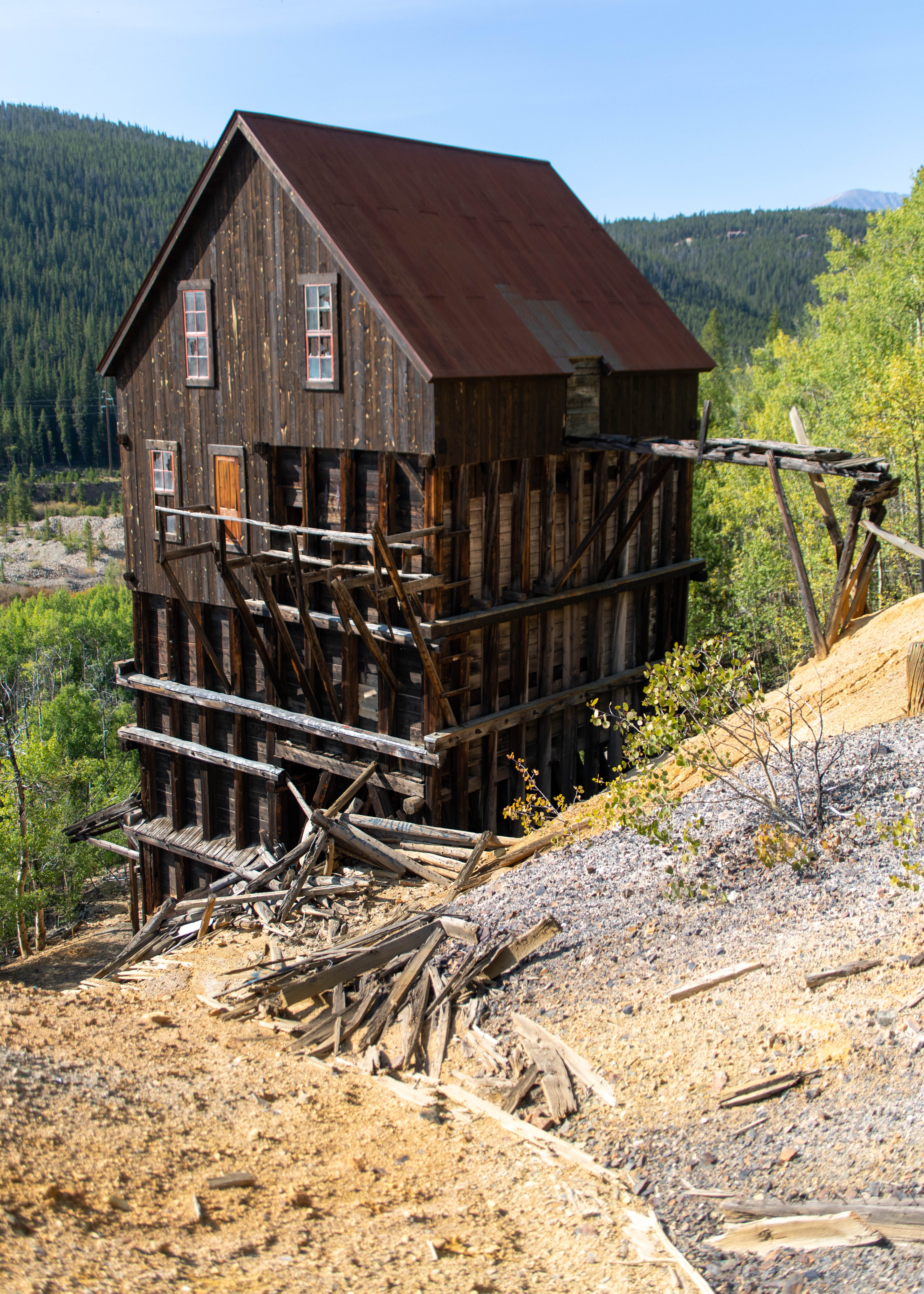
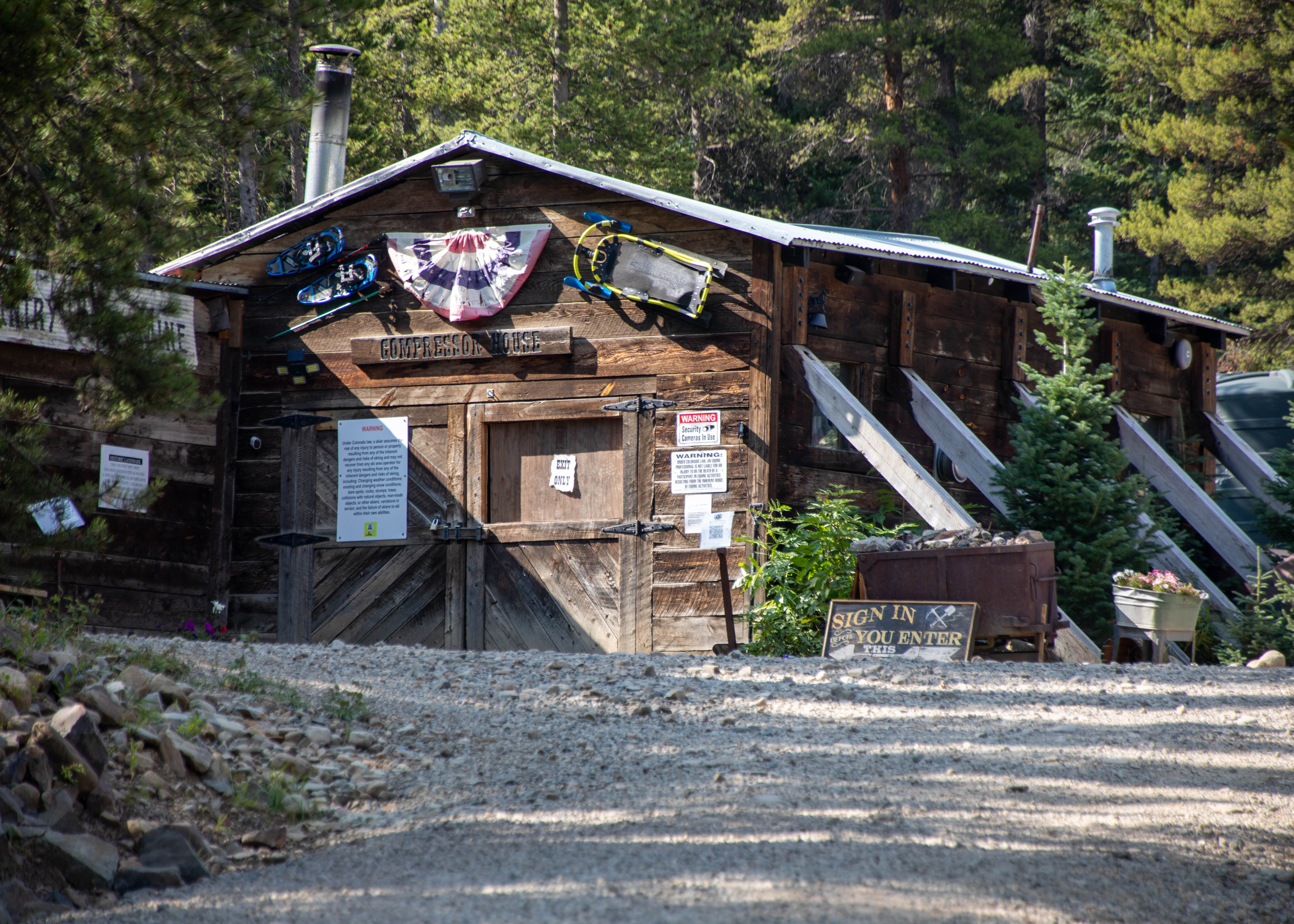
Mayflower Gulch is an “easy” 3.1 mile out and back hike. Ha! Easy, but not if you are going from 11,100 to 11,700. I have been handling 9 & 10 K elevations, but this slowed me down. We took in amazing views and explored cool old mining ruins. At the end of the hike, we were greeted with the Old Boston mining site.
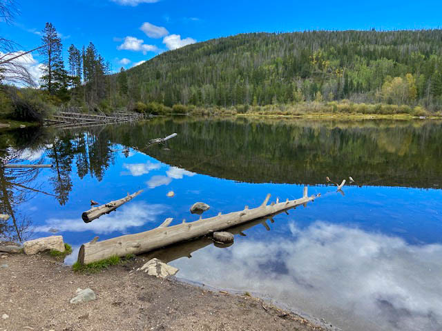
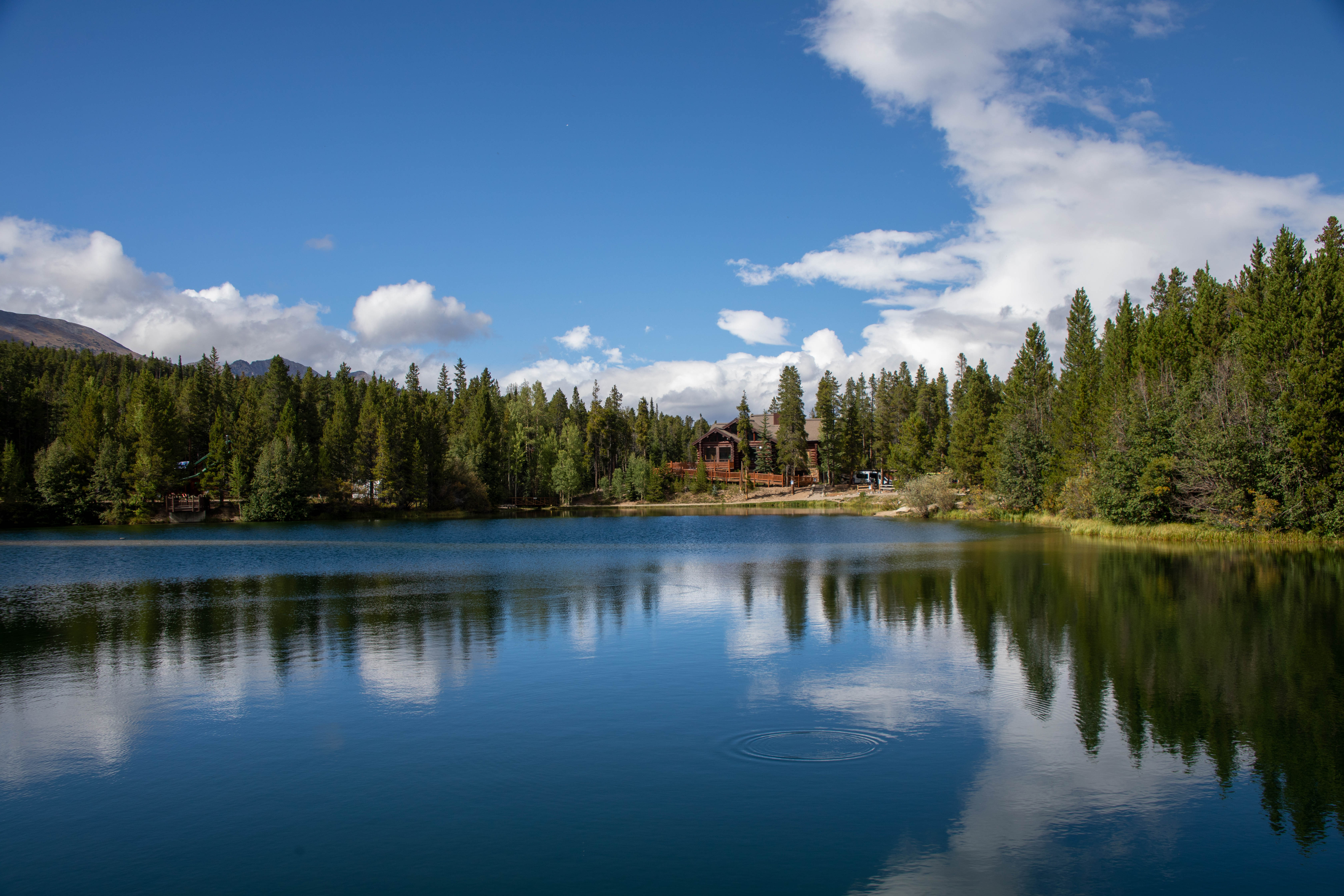
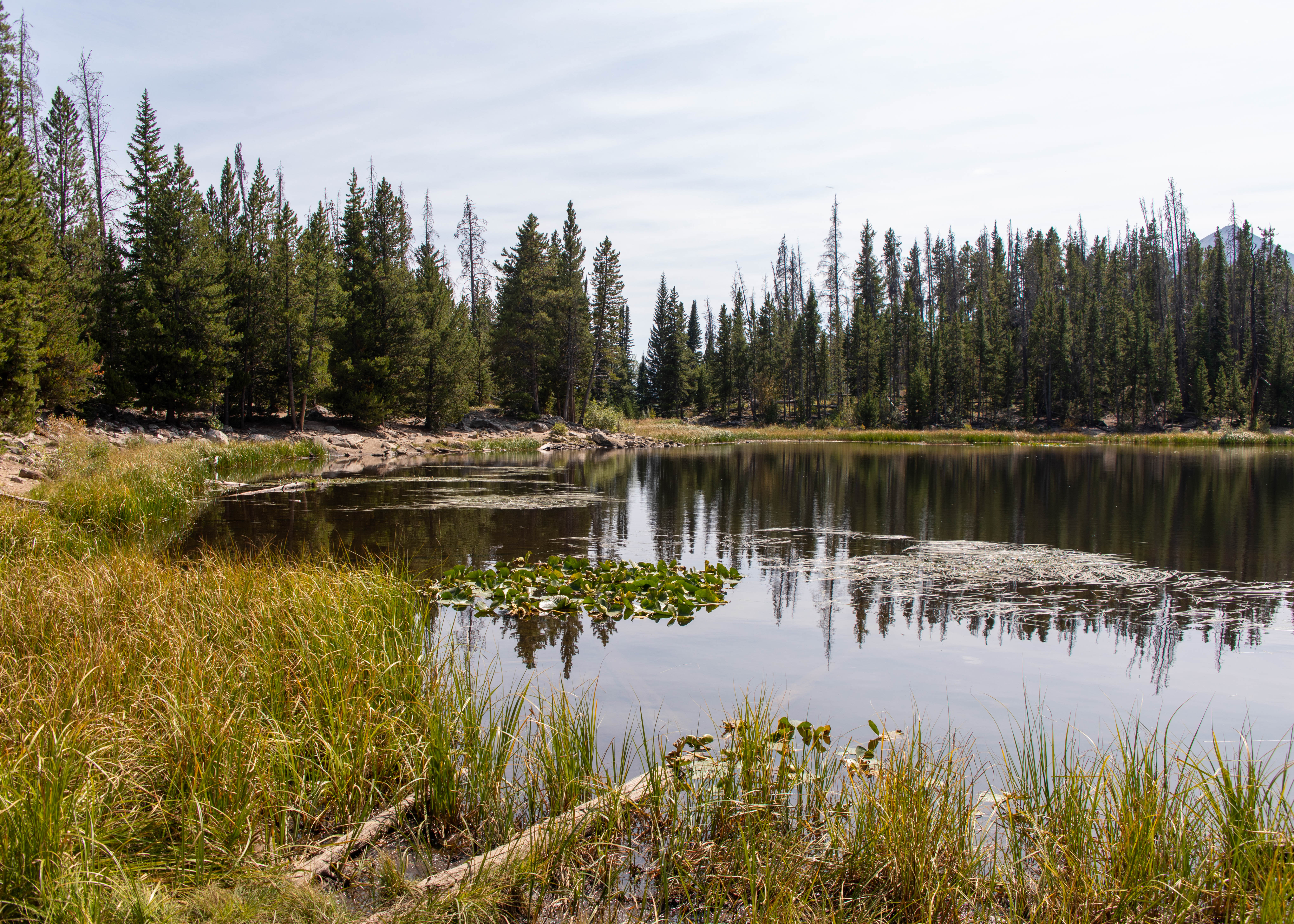
Our second hike was to Rainbow Lake in Frisco Co. The trail is 1.2 miles one way @ an elevation of 10,250 ft .
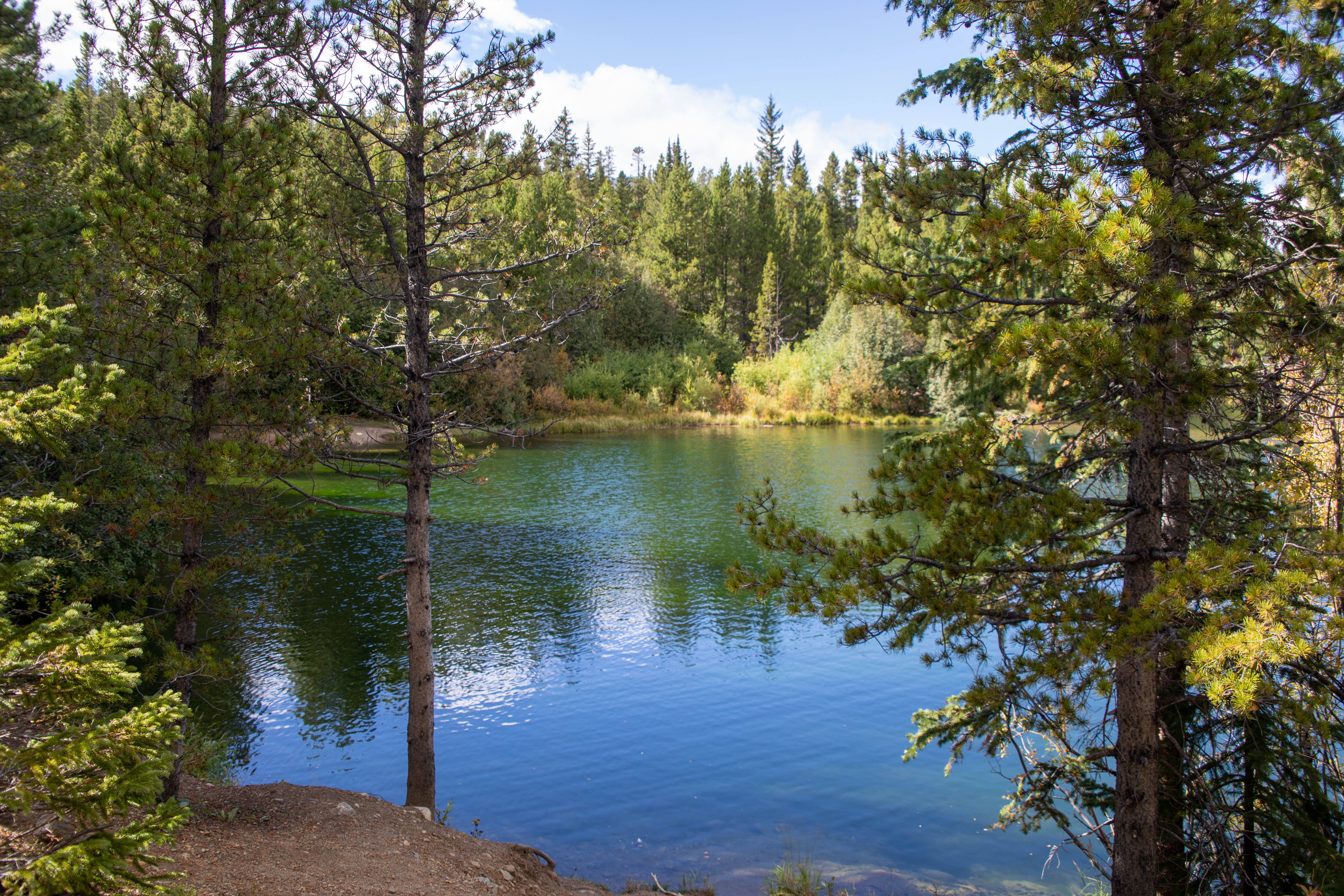
And our final Hike was Sawmill Reservoir Trail. Just west of downtown Breckenridge, Colorado, the Sawmill Reservoir is a 10-acre lake resting at 9,938 feet in elevation. The reservoir is in Summit County and is surrounded by White River National Forest land. The Sawmill Reservoir trail is a 1.3-mile loop trail around the water.
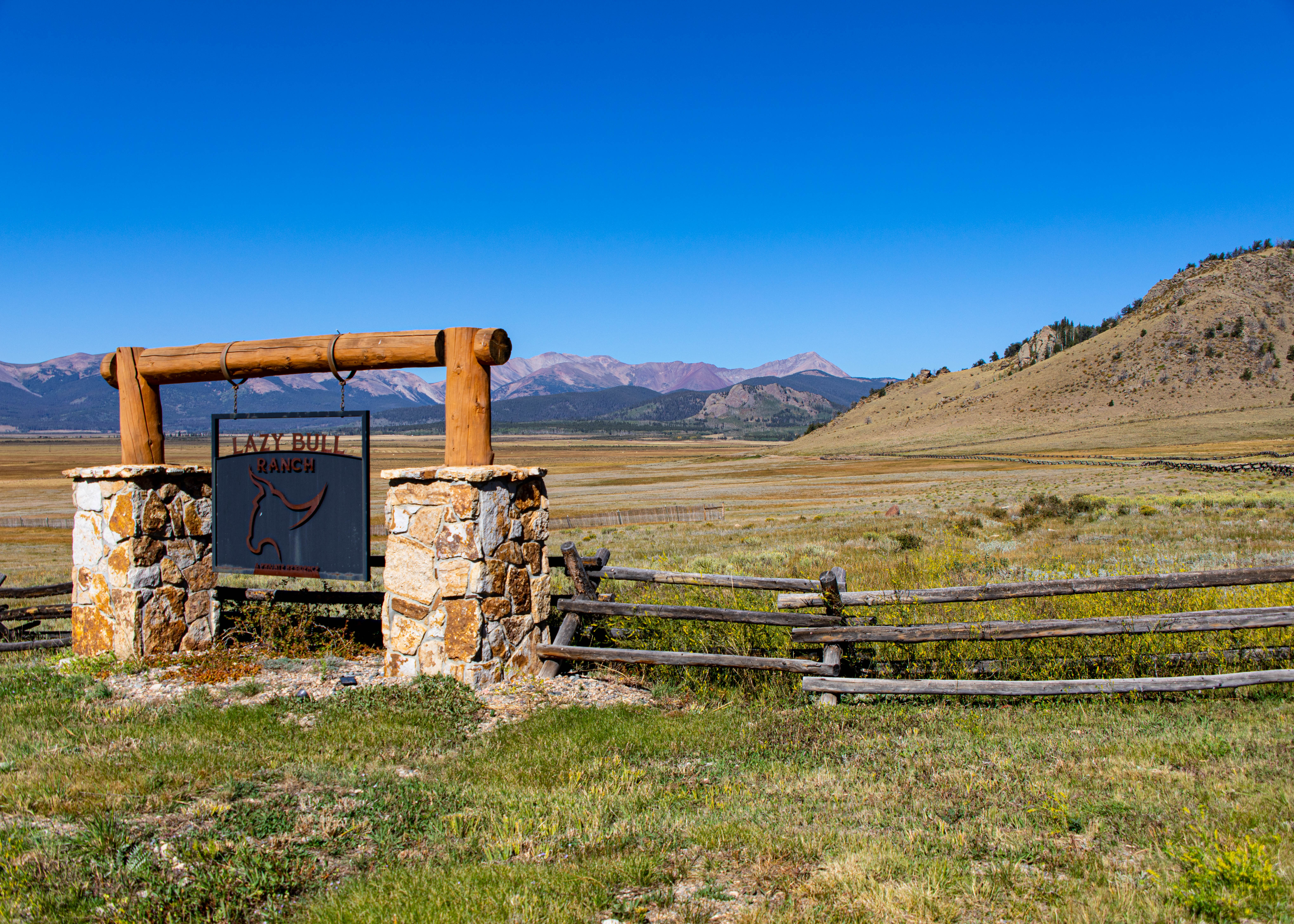
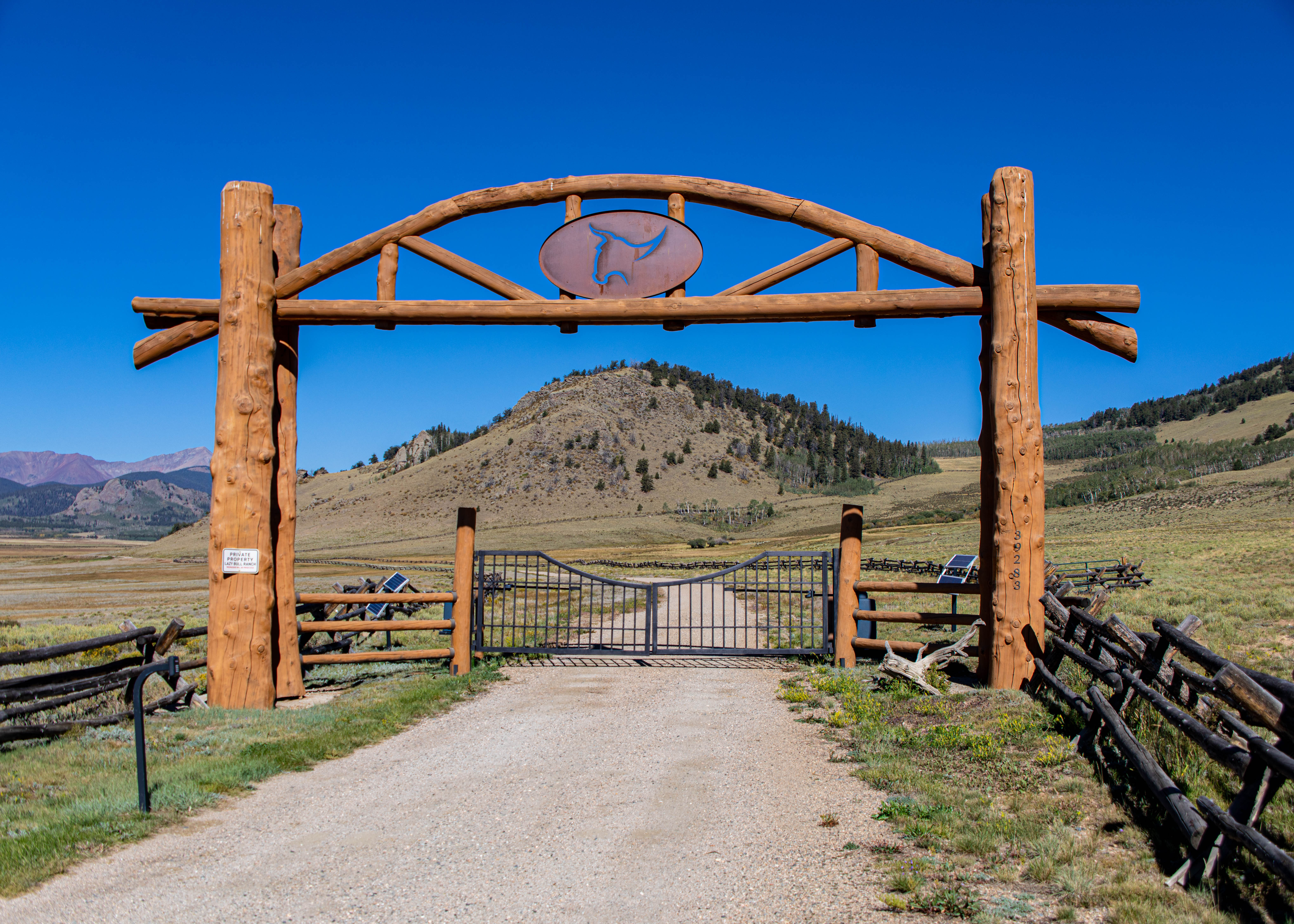
One day left – looking forward to doing the Swan Mountain Road loop in the morning and a round of golf at the Keystone River course – Going to be cold with a high of fifty! Bundle up!

We decided to take a break from the Florida summer heat and travel to Breckenridge, a place where we first visited about 30 years ago. Our goal was to do some hikes at more than nine thousand feet above sea level for a change and test our golf skills with dramatic side mountain lies. We flew into Denver and decided to take the scenic route along US 285 and CO 9, avoiding interstate 70.
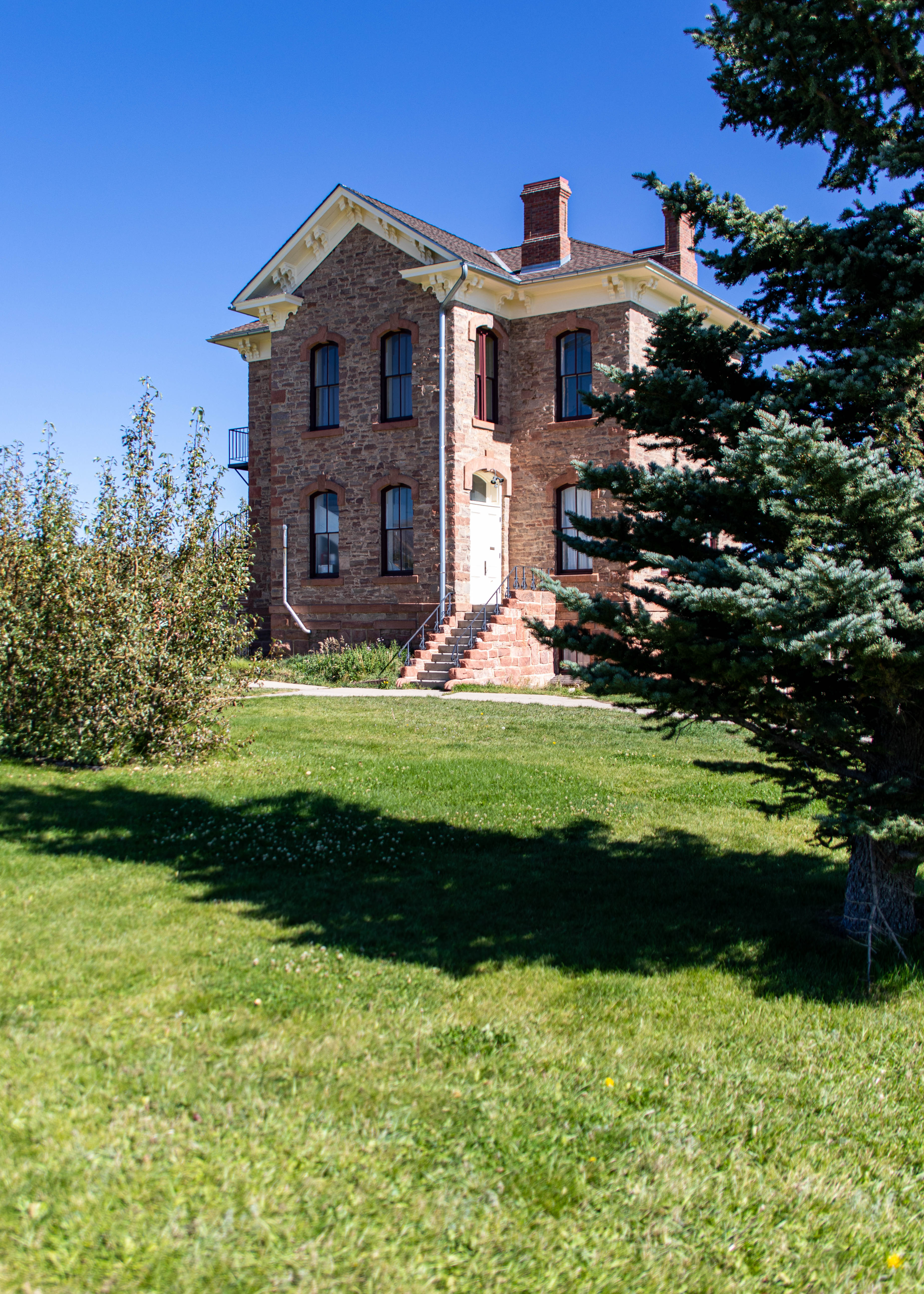
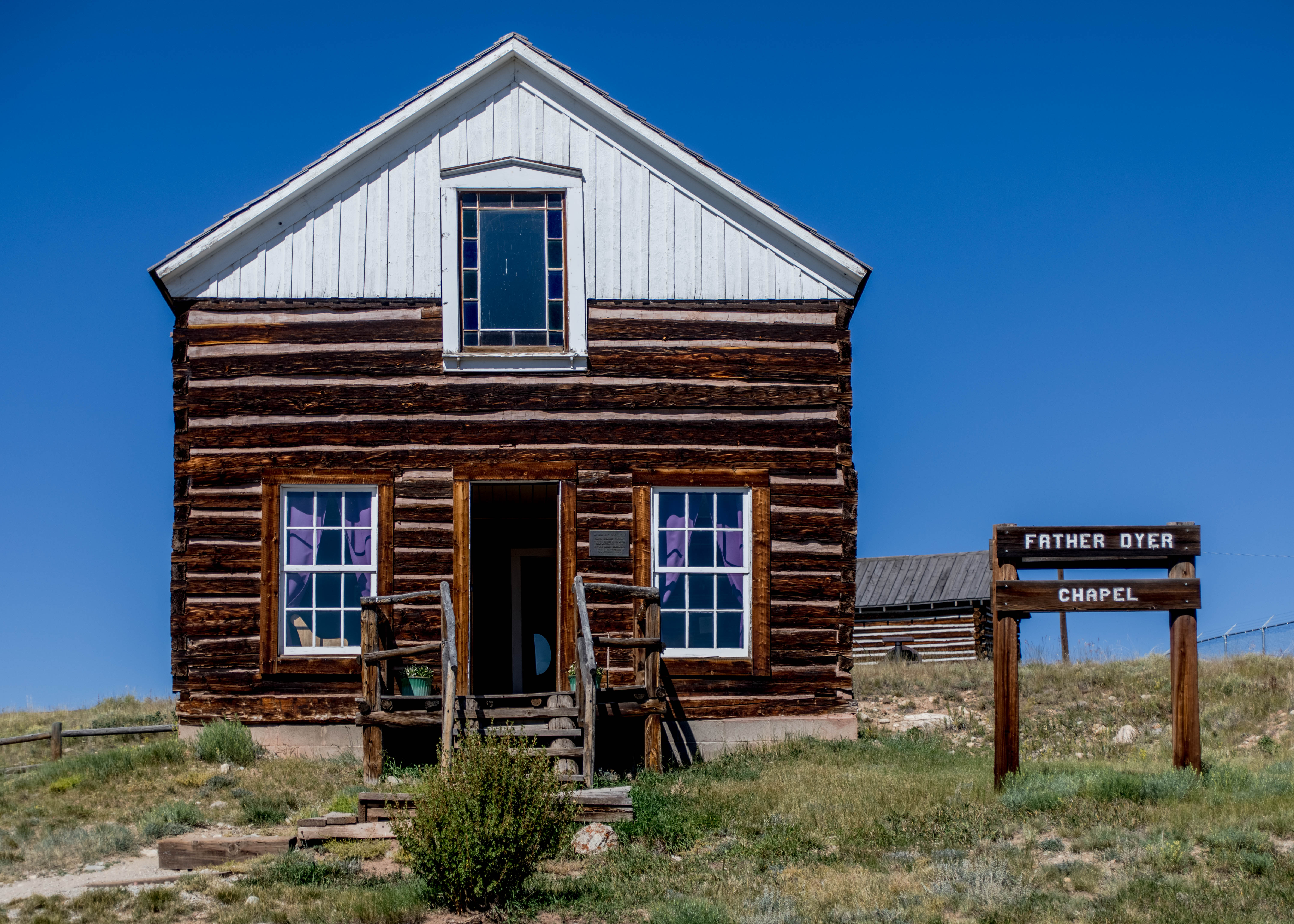
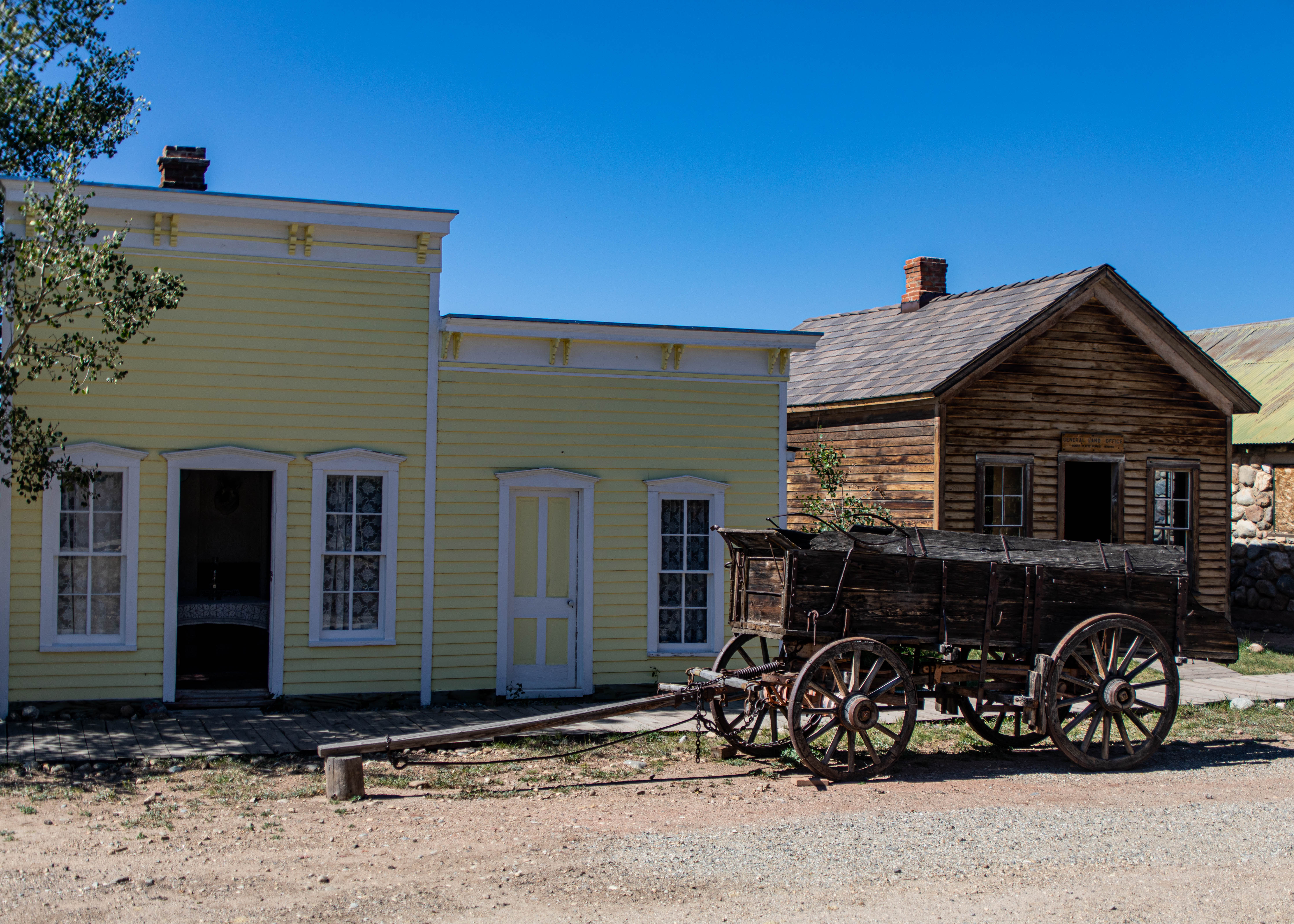
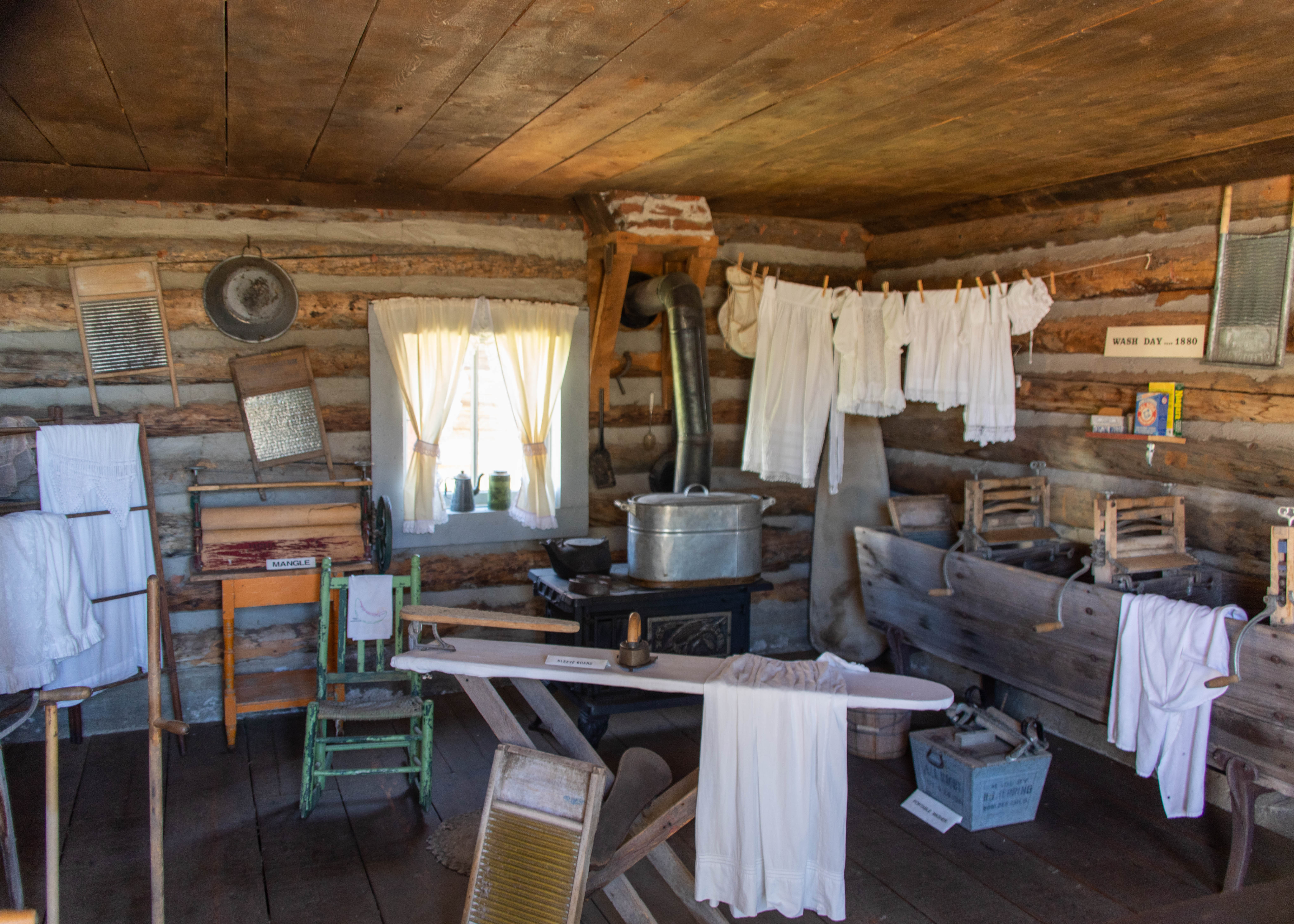
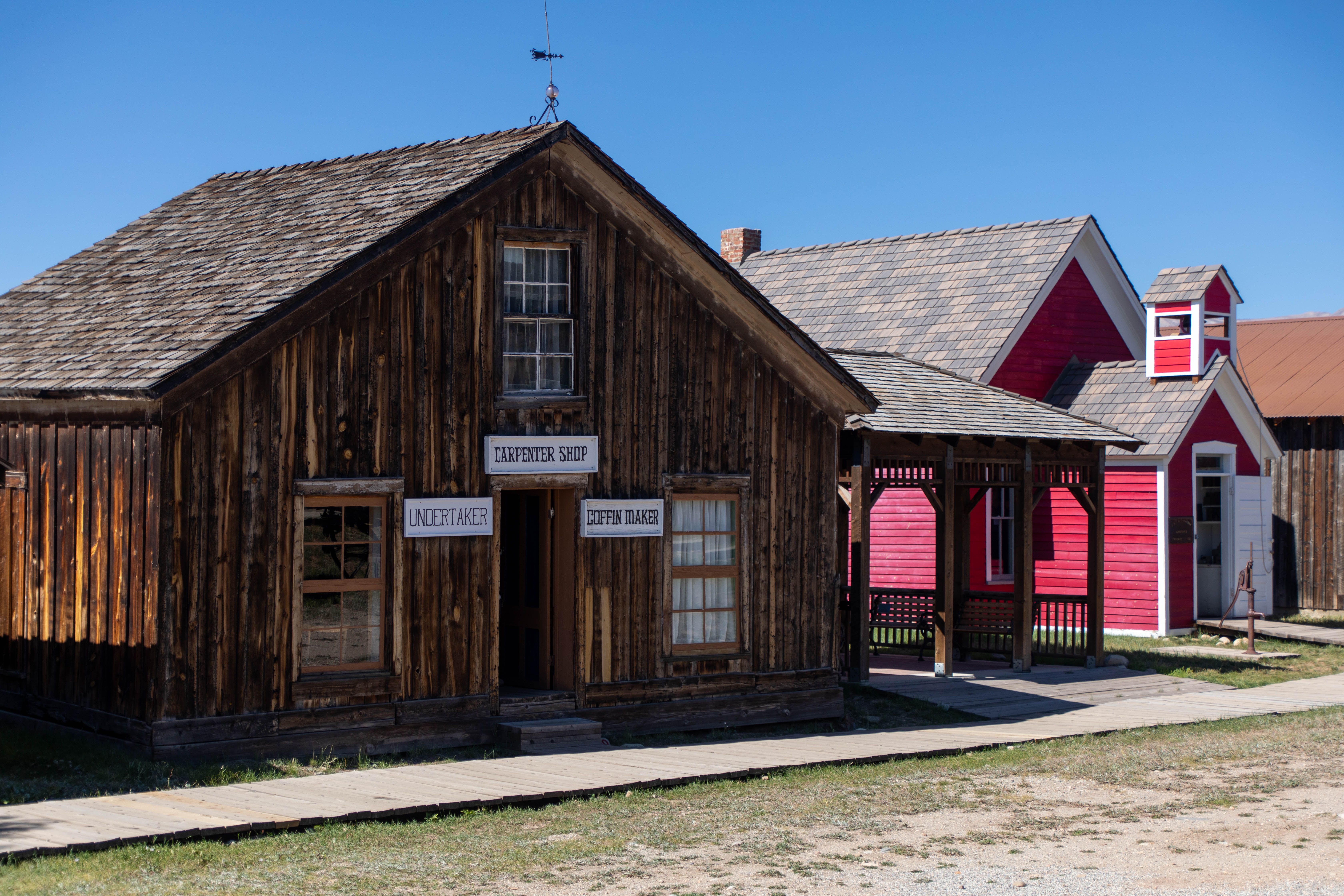
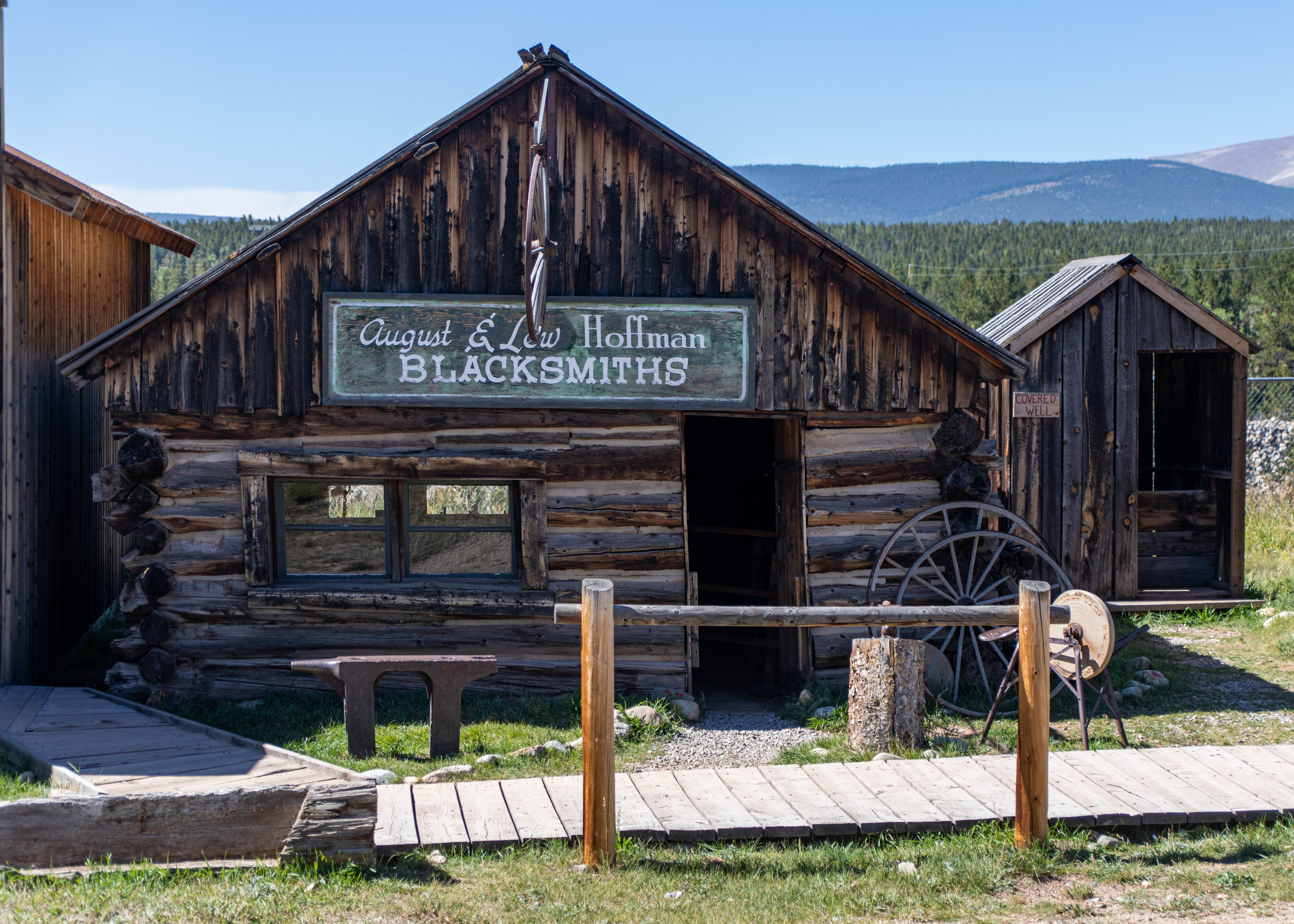
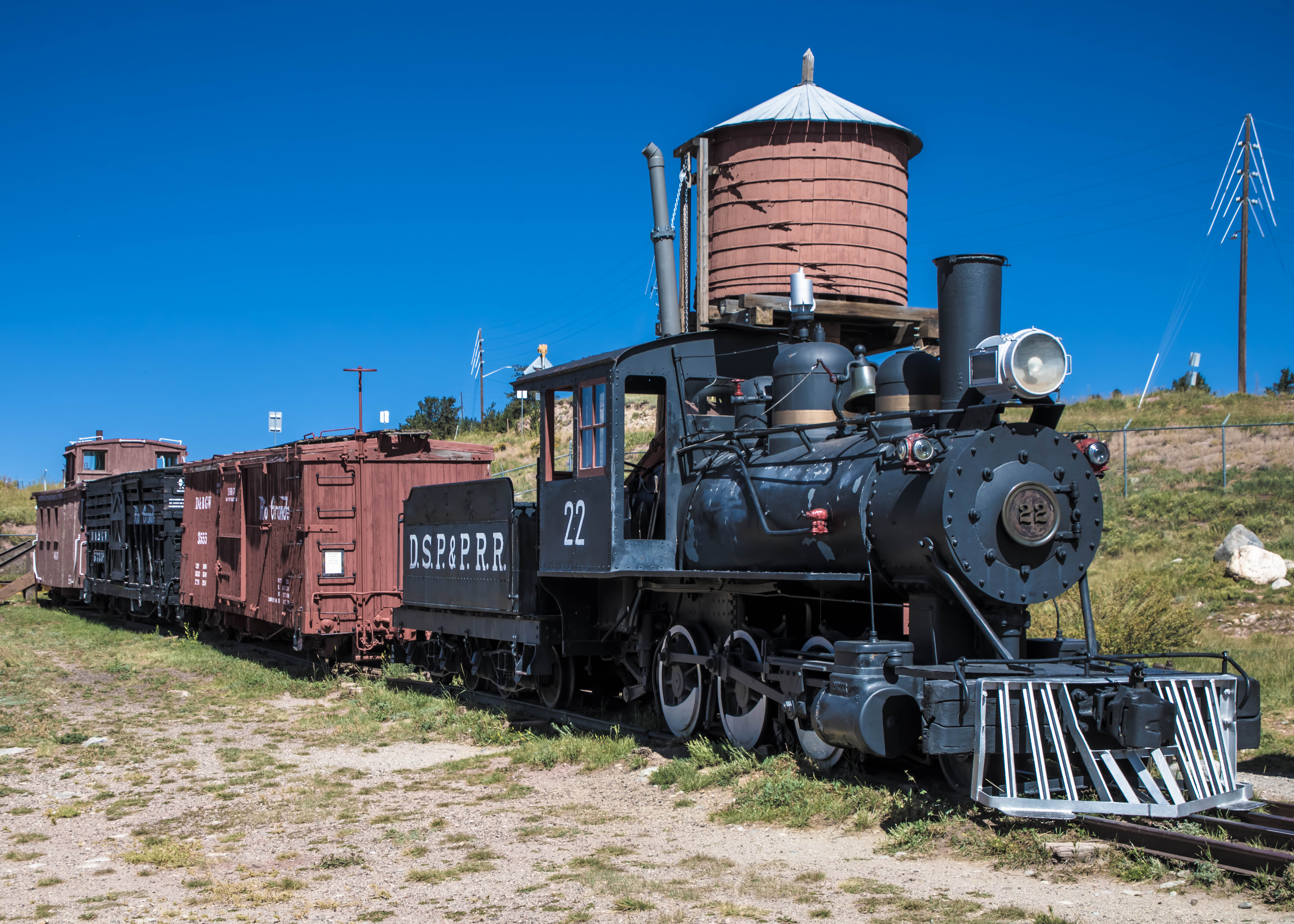
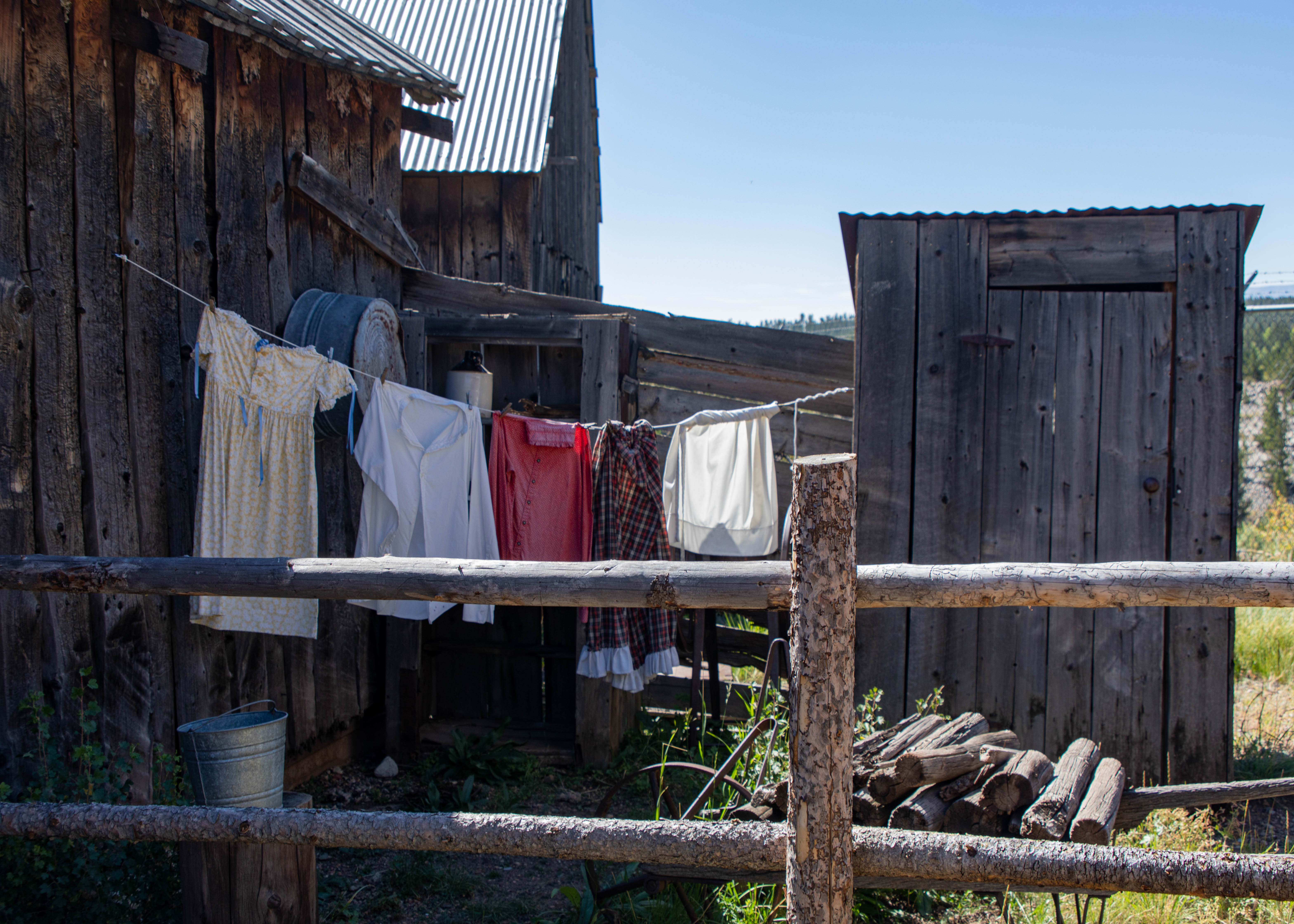
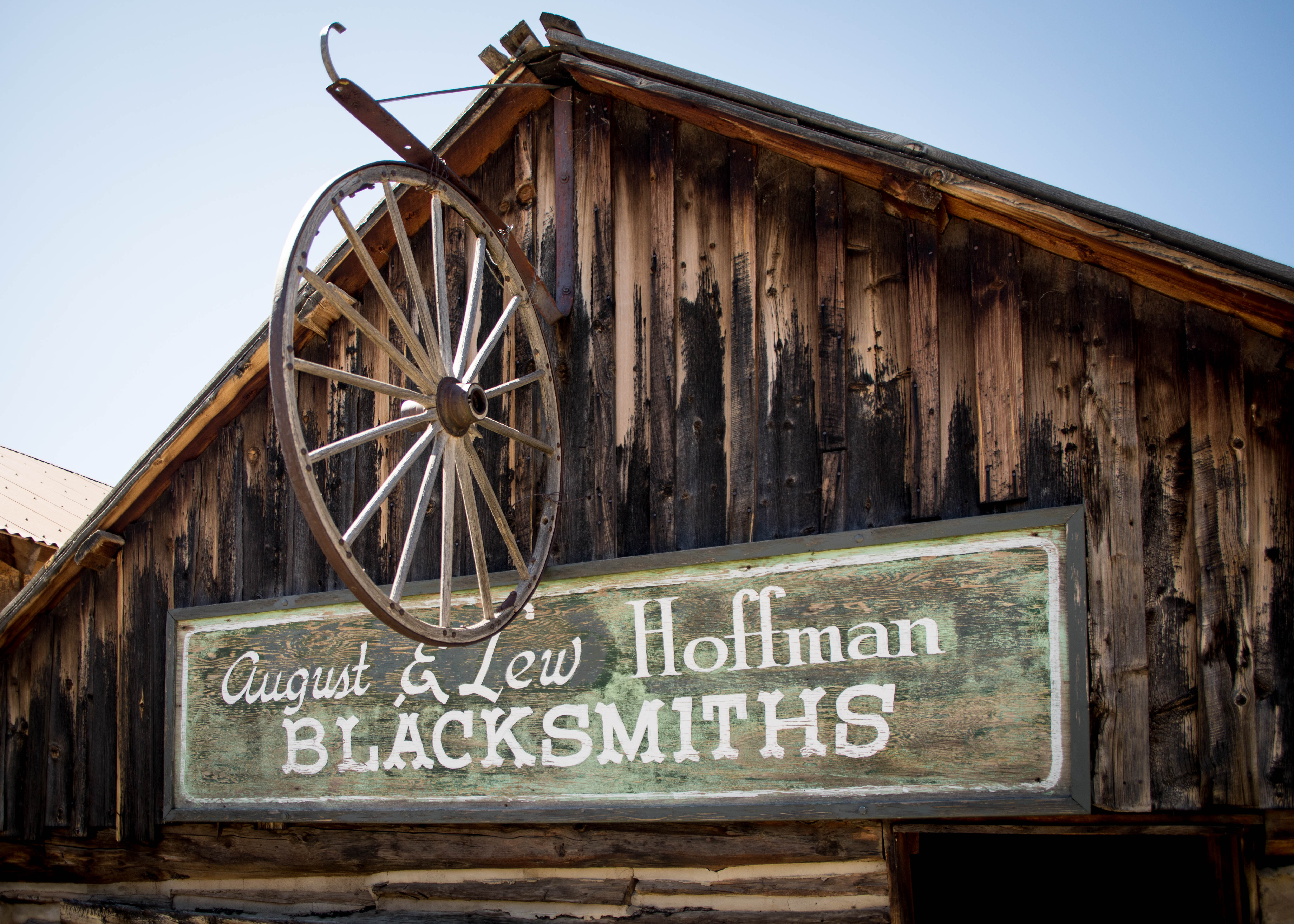
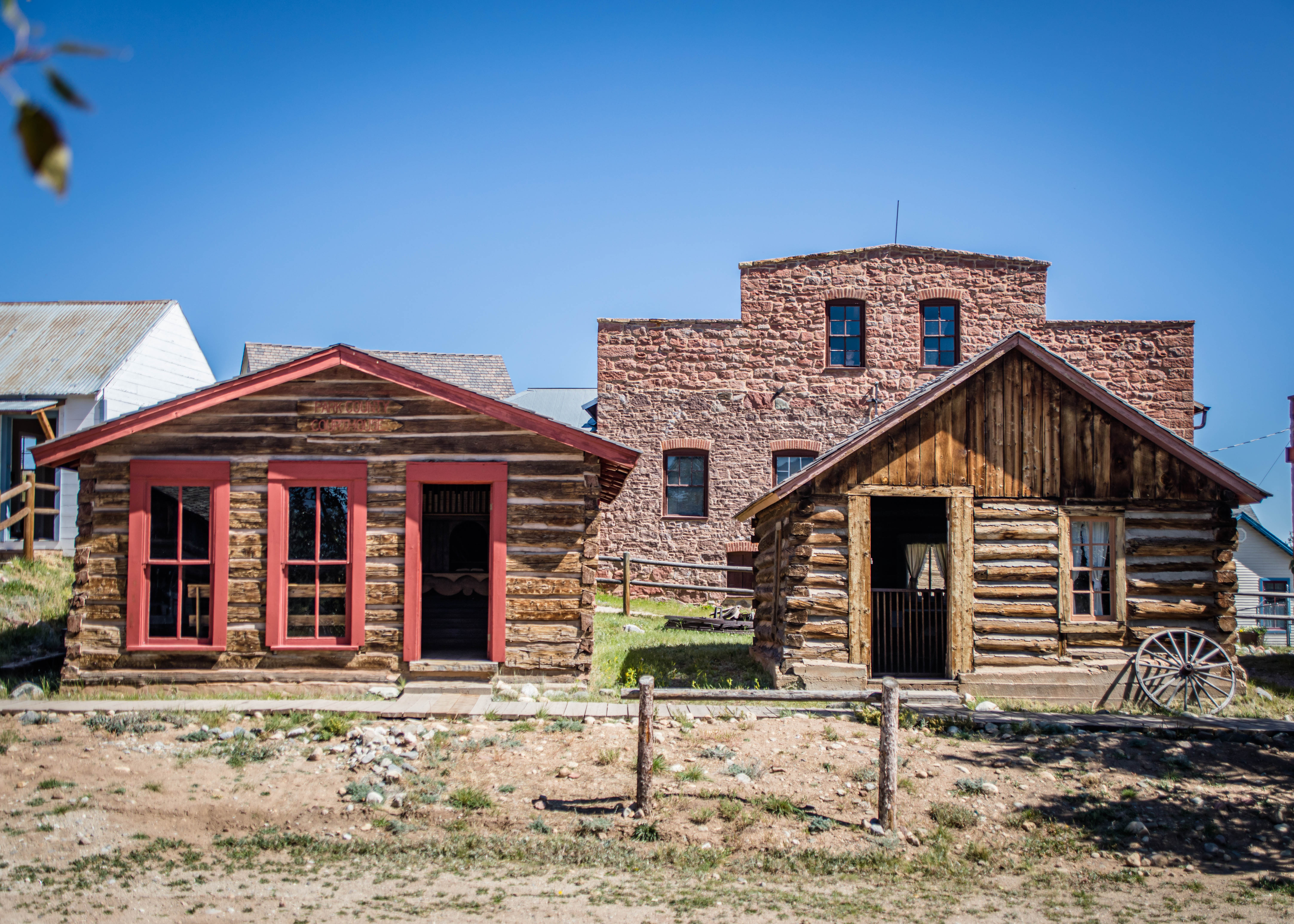
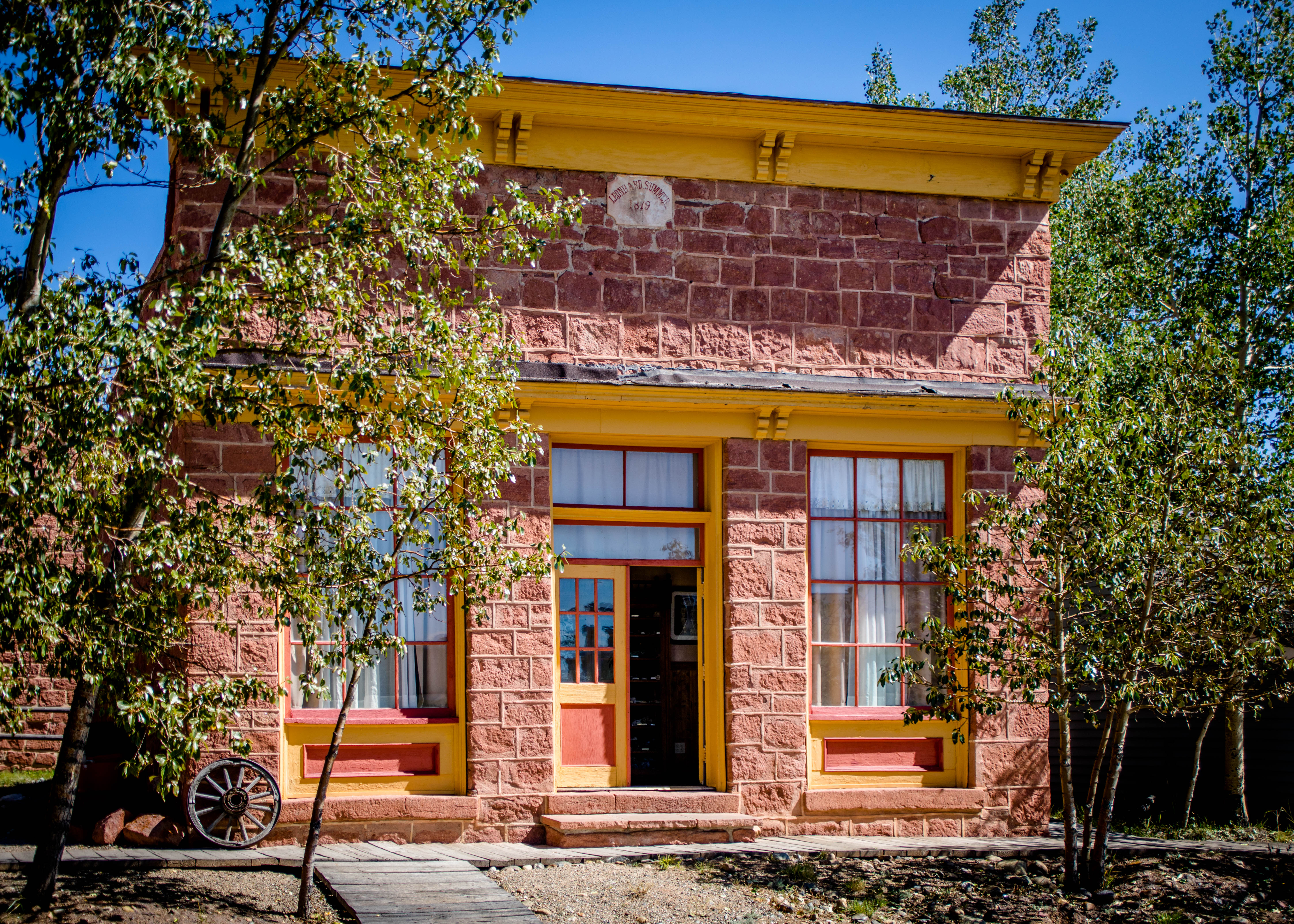
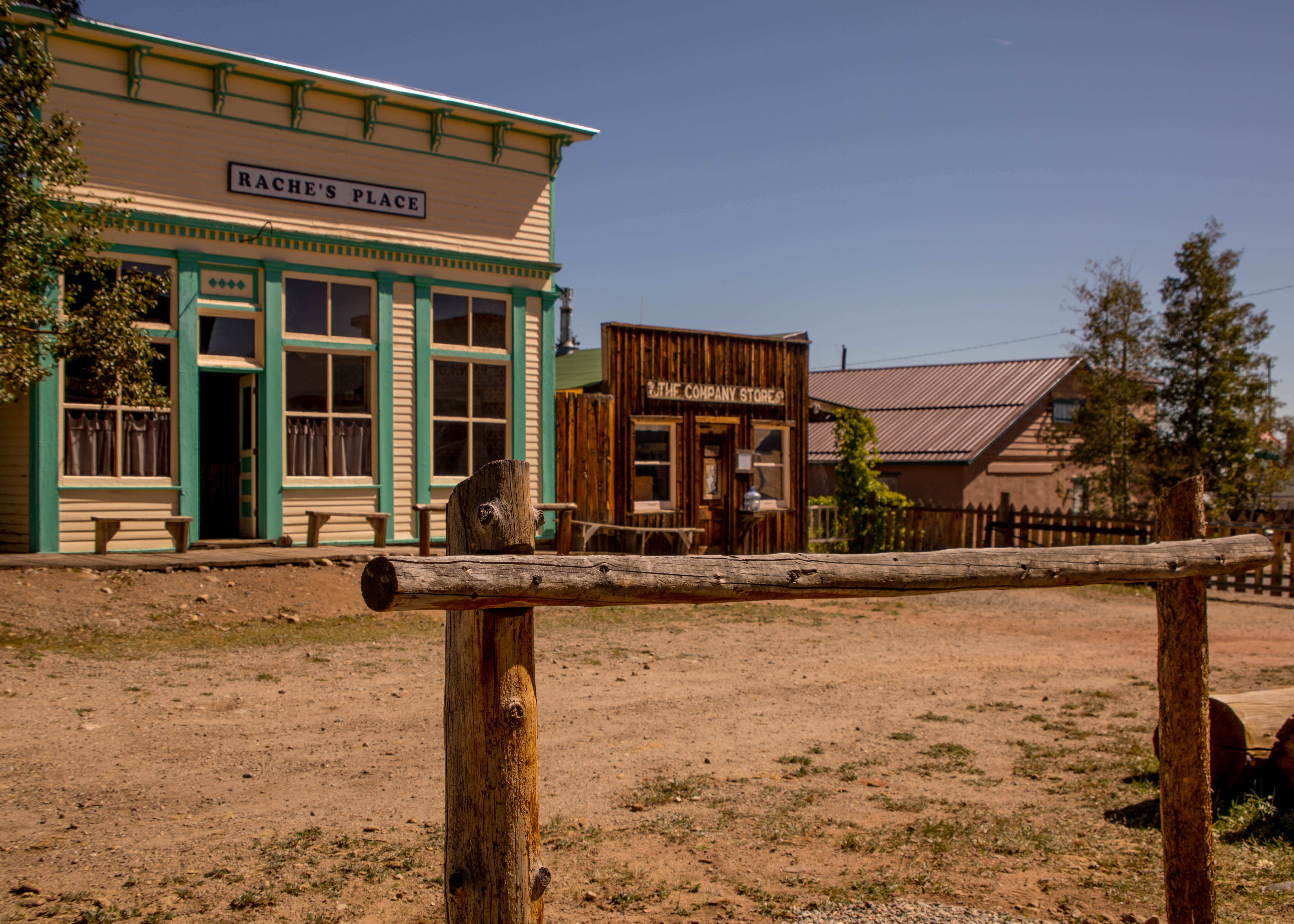
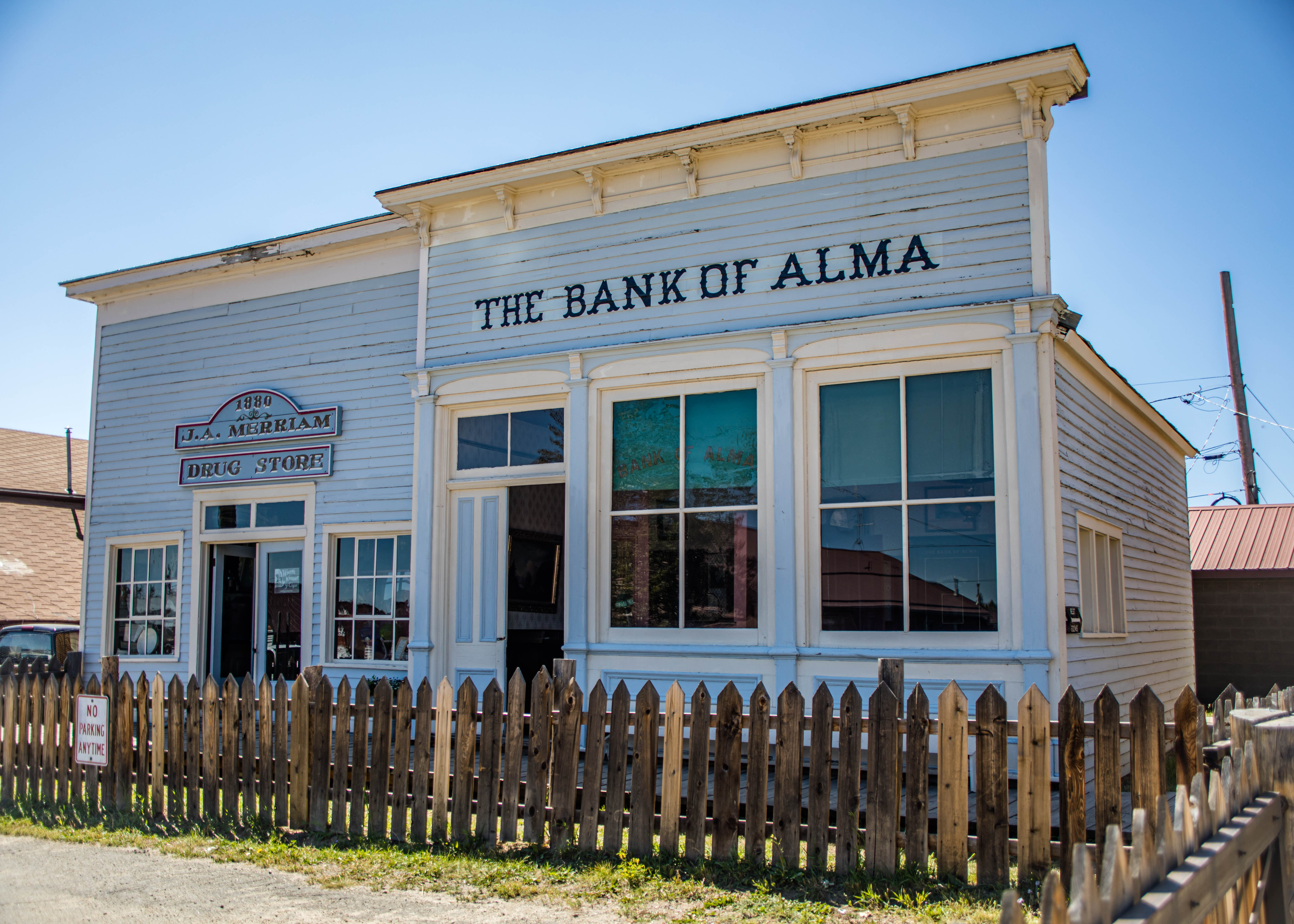
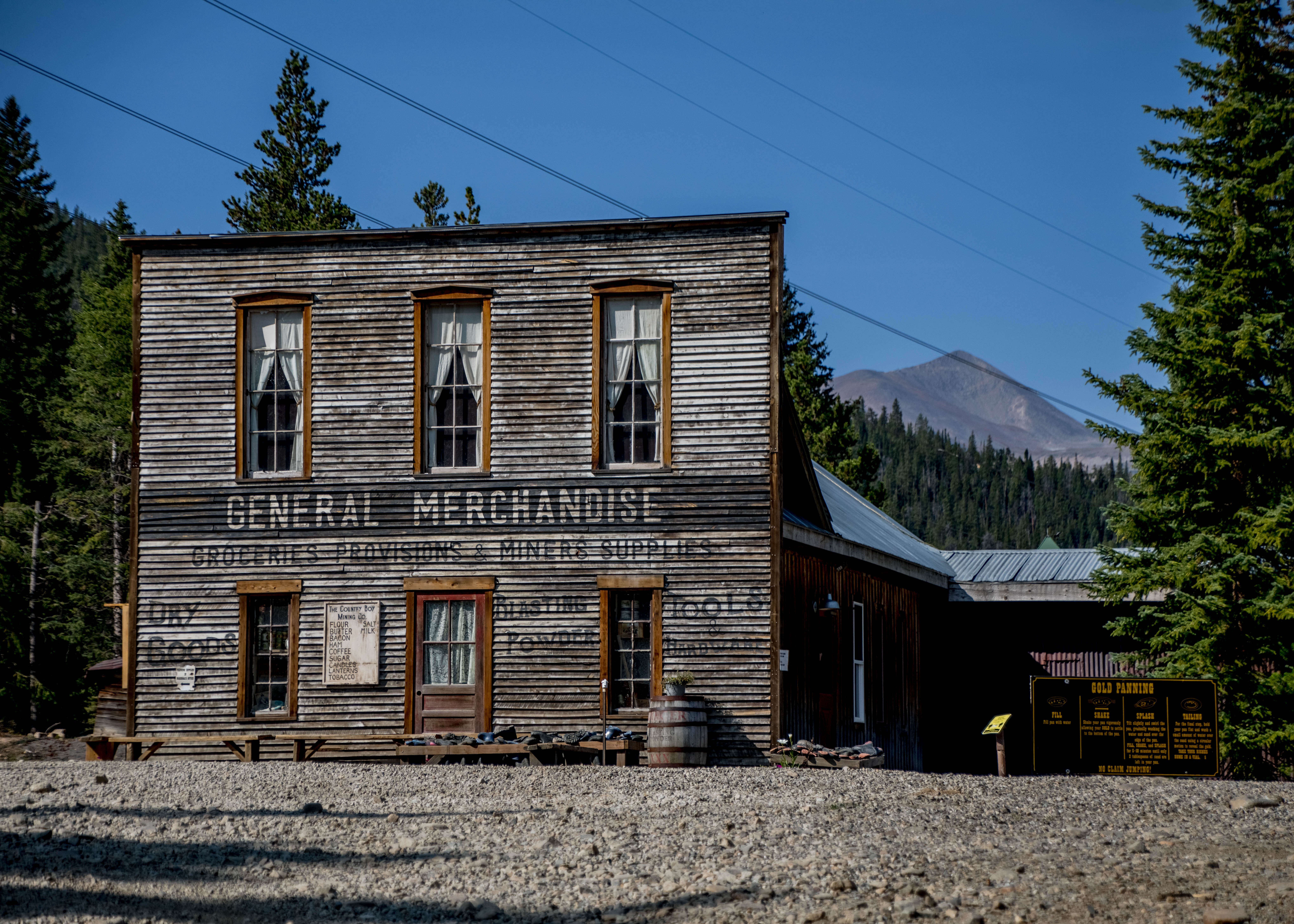
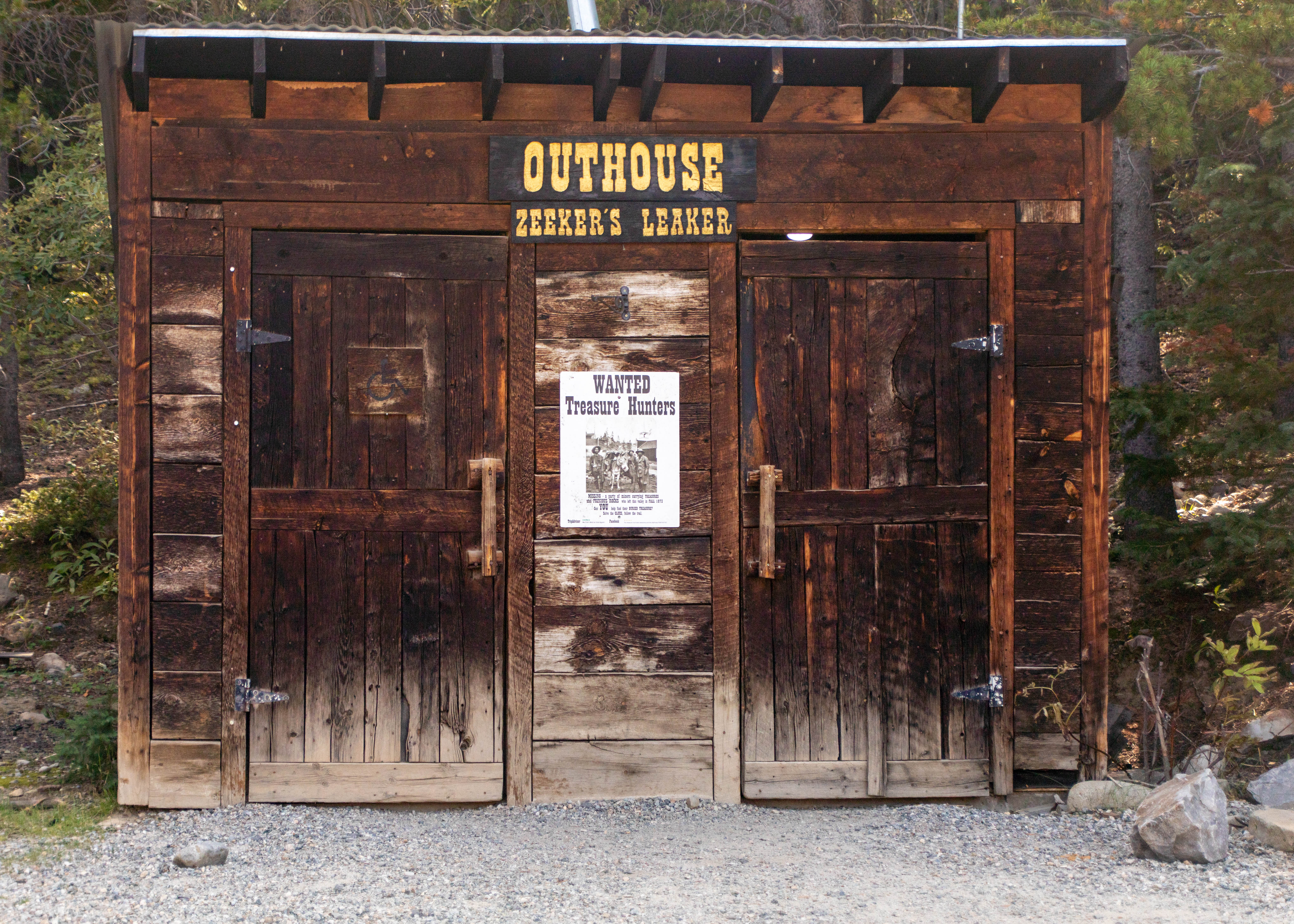
Along the way we visited the town of Fairplay and its South Park City Museum, a 19th century mining boom town. The museum accurately represents a mining town between 1860 and 1900. Forty-four authentic buildings are filled with over 60,000 artifacts. They portray most of the economic and social aspects of boom town life. Seven of the buildings are on their original sites.
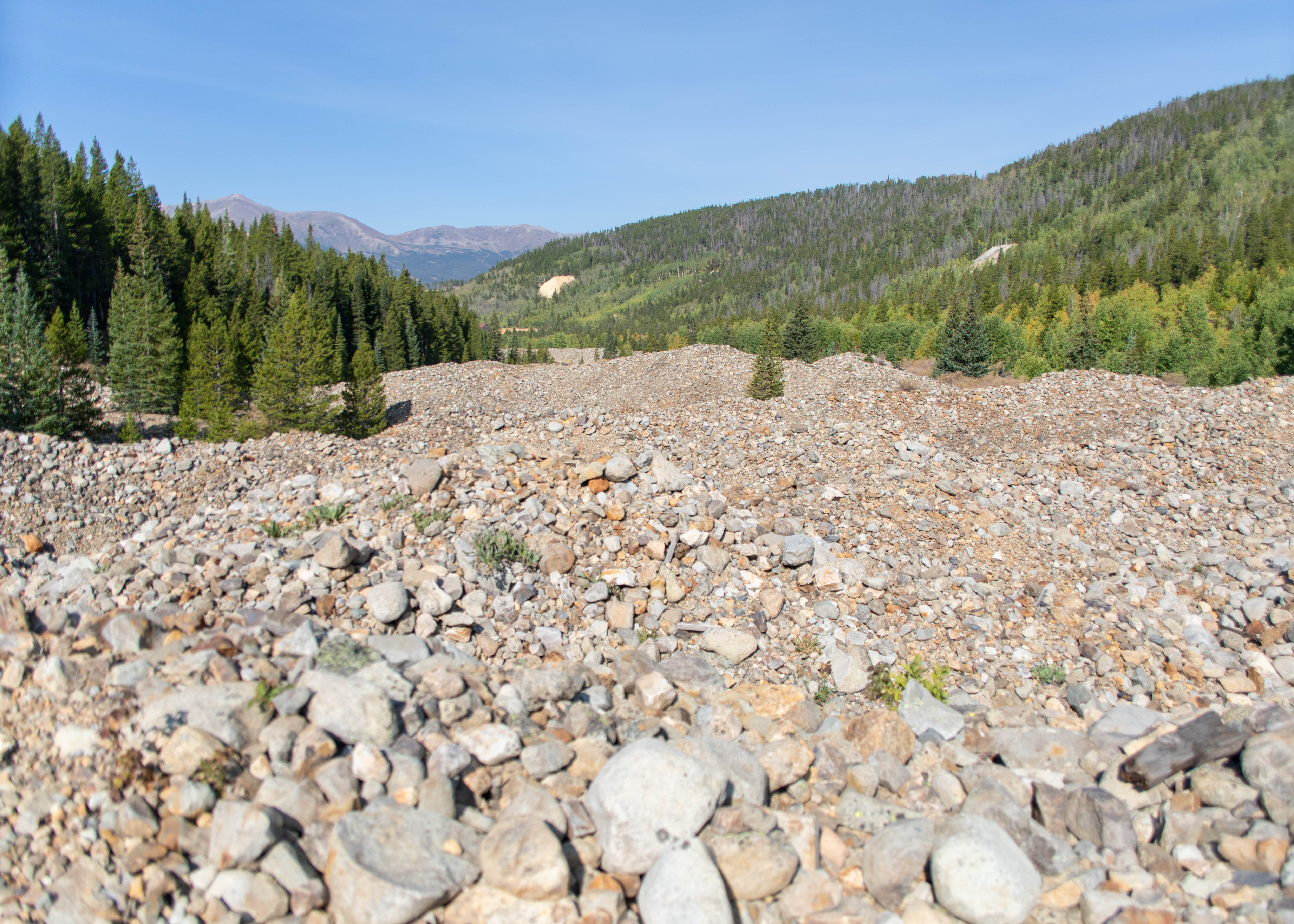
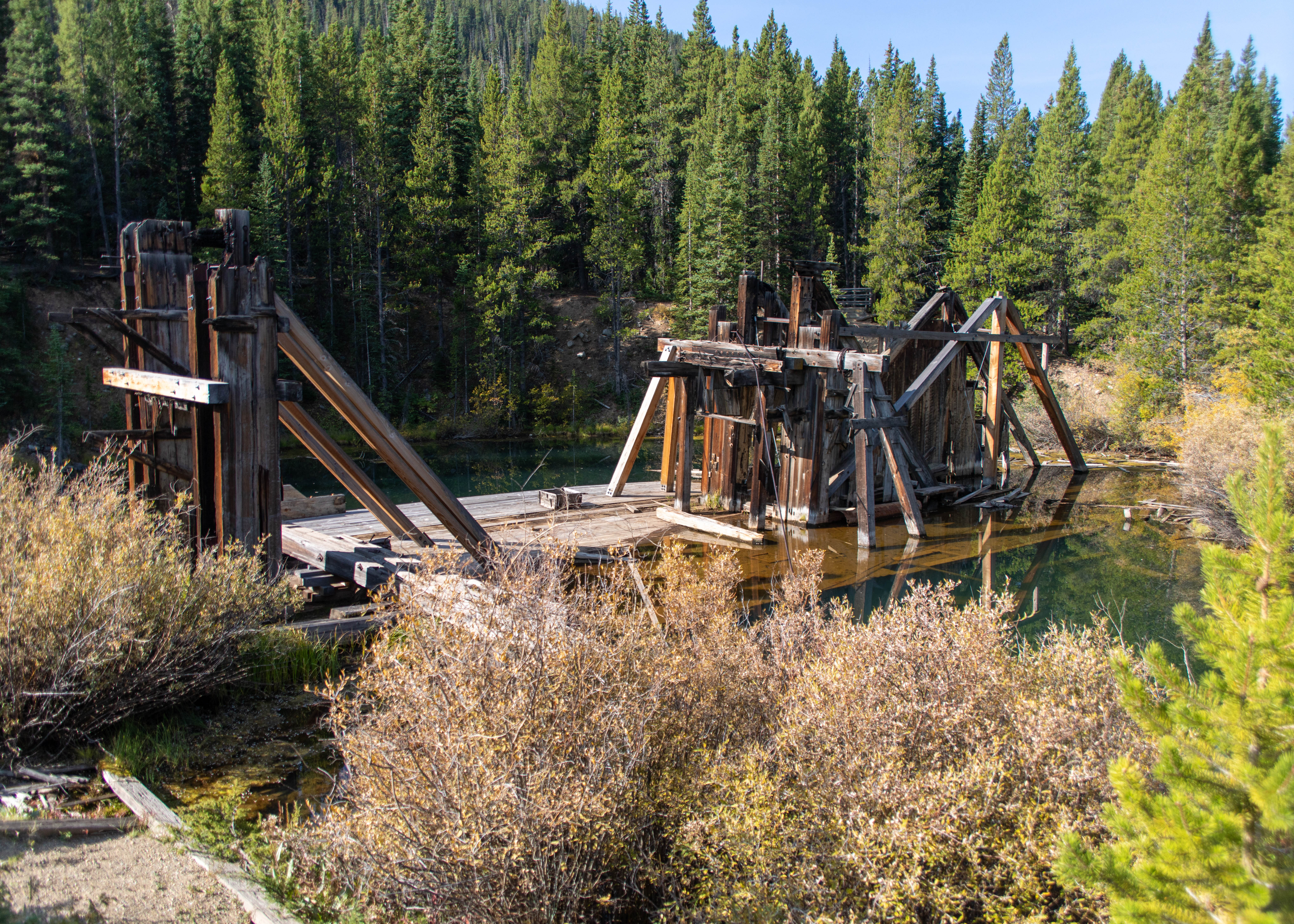
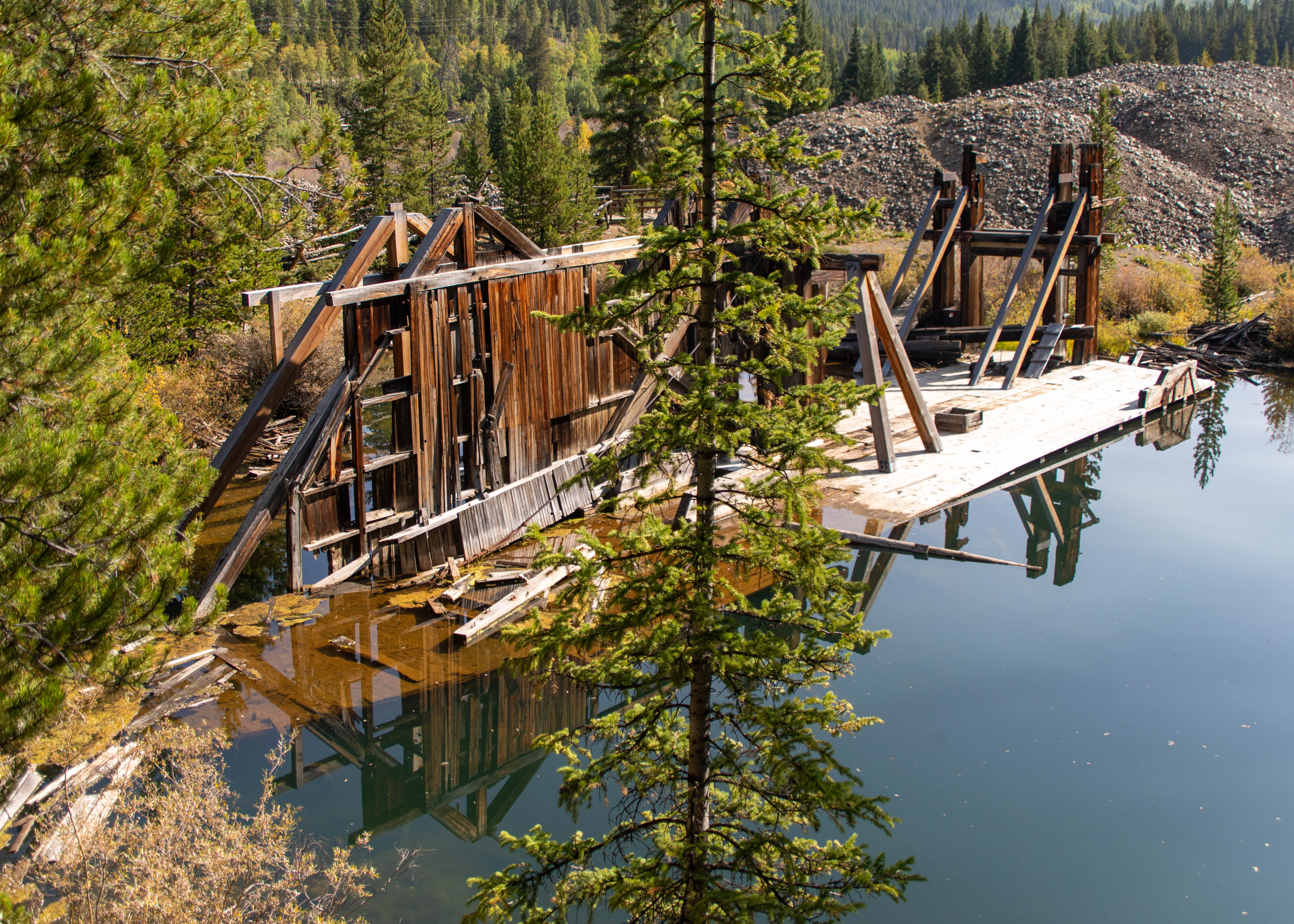
Our first day of hiking was on French Gulch Rd hiking the Mineral Hill Trail to the remains of a rock crusher operation, the Reiling Dredge Trail – viewing the devastation from dredge mining, and then hiking the B&B Trail to the Country Boy Mine. Over$7M of gold was mined along with quantities of silver, copper & enormous amounts of zinc


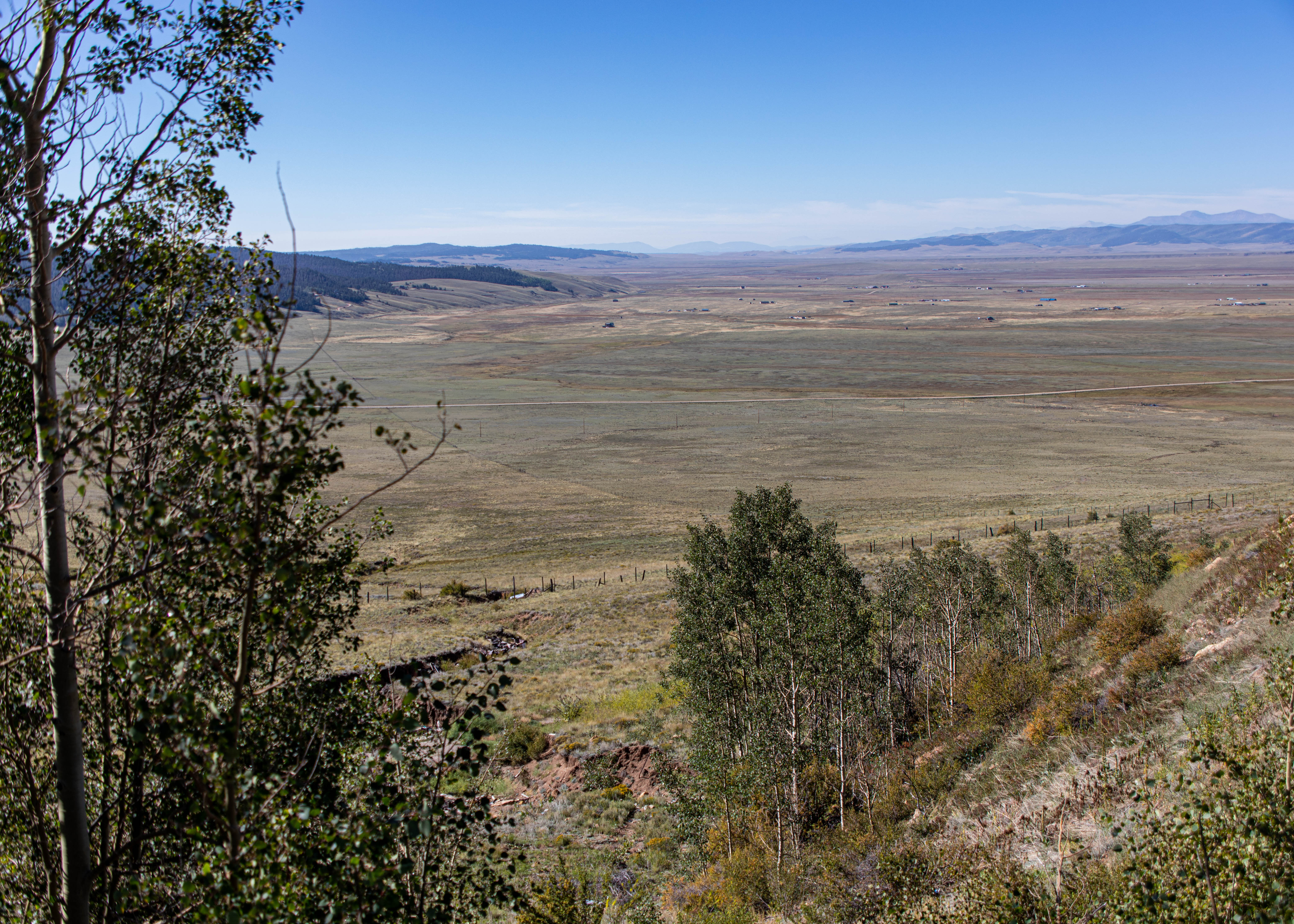
On our third day we drove the Boreas Pass Scenic Drive – The 22-mile off road drive that leads you from Como in Park County, up over an 11,481-foot summit, down into Summit County and Breckenridge. The Toyota Camary rental survived the drive.
Off to the Keystone ranch golf course for a mountain challenge. All I’ll say is putting on the side of a mountain is a lot different than at sea level.
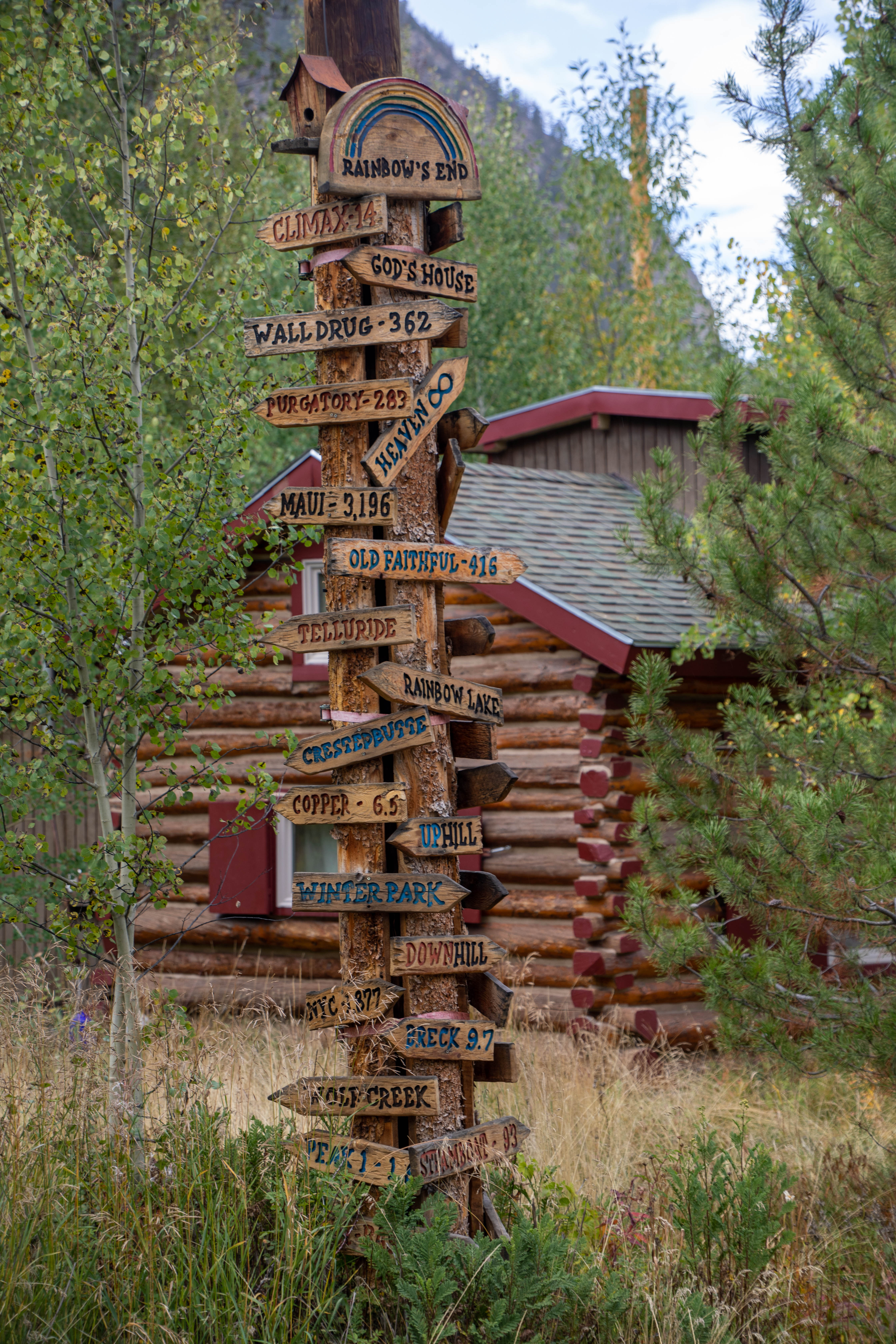
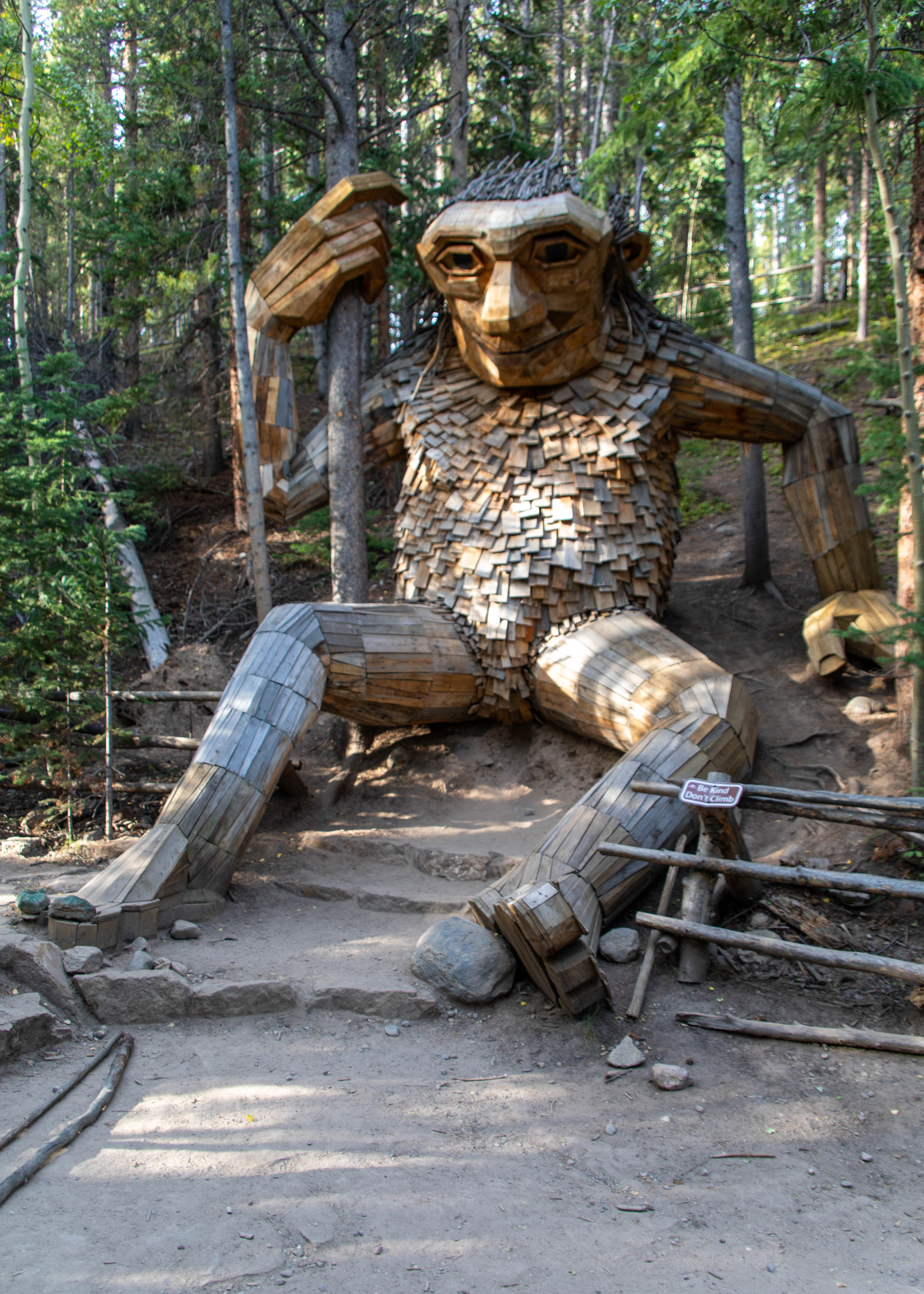
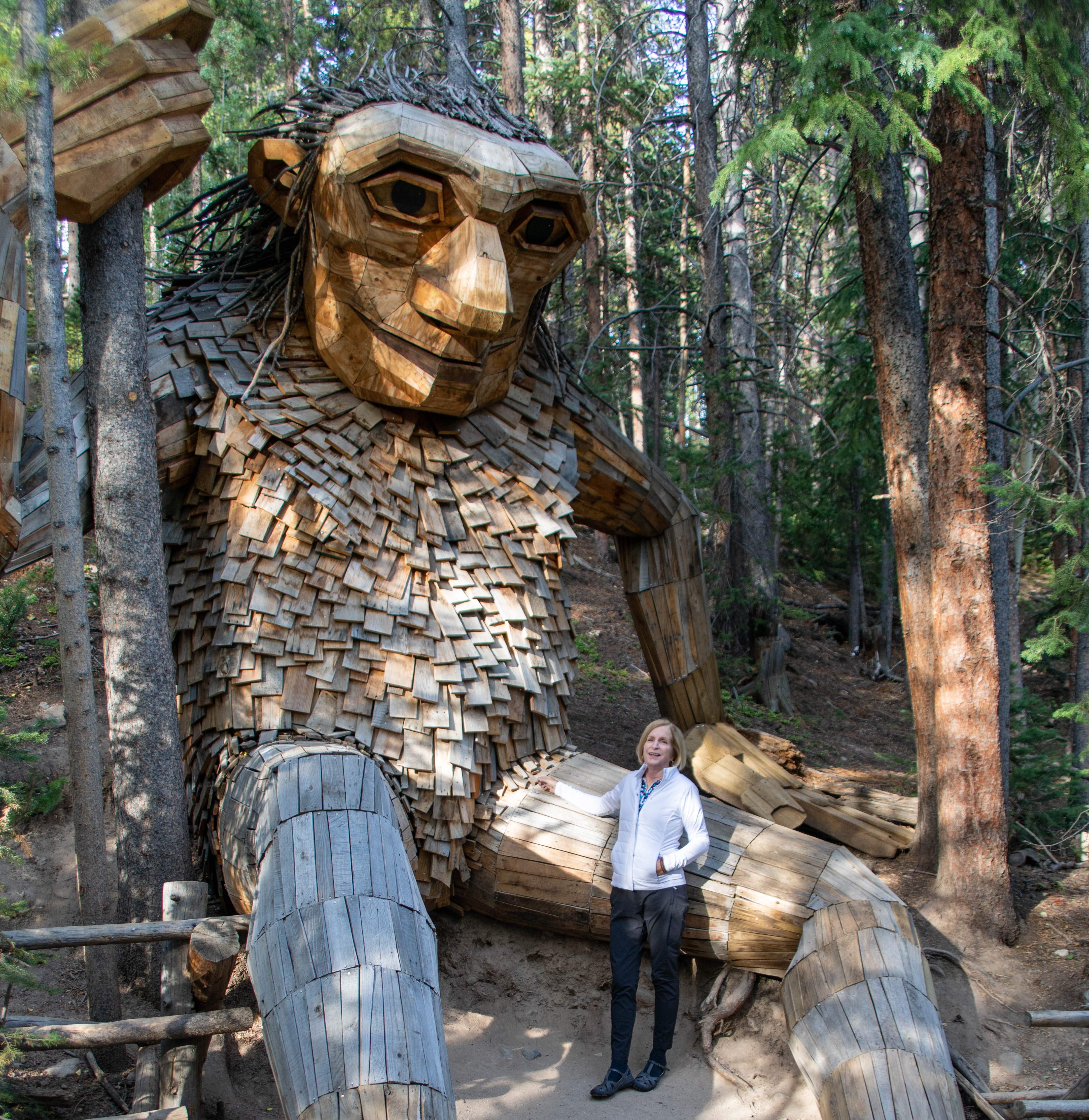
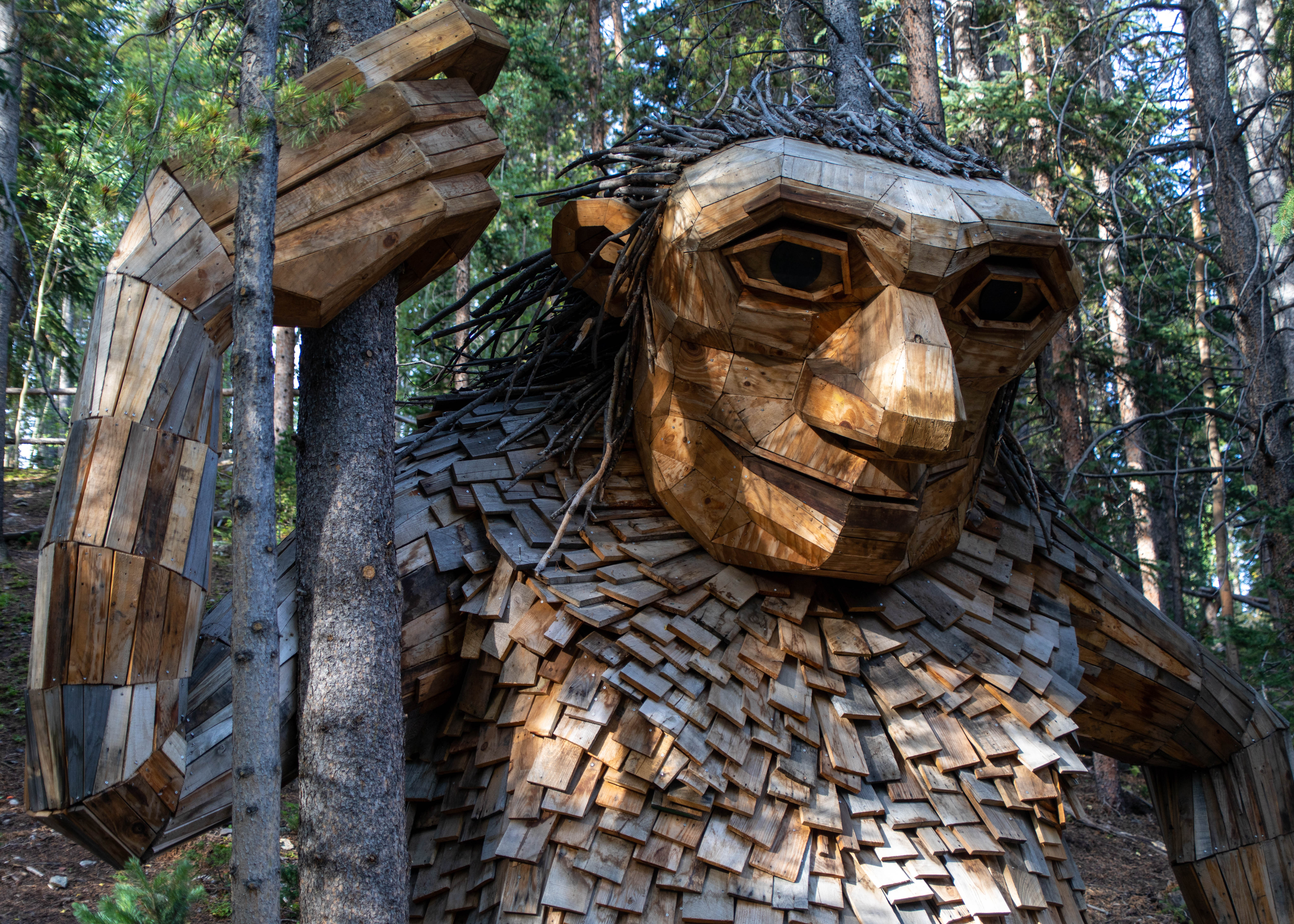
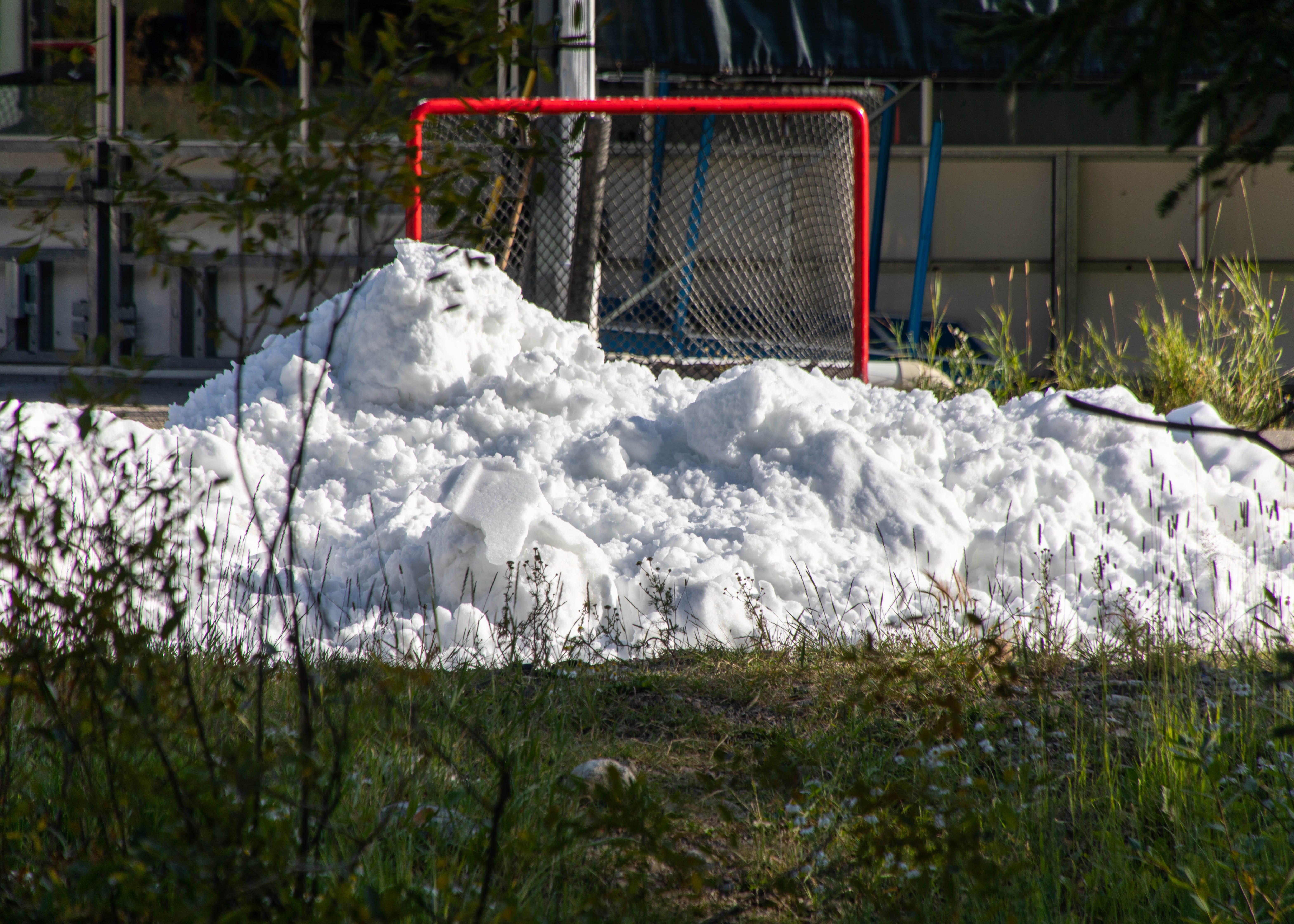
Back to hiking on our fourth day when we took an early morning hike along the Trollstigen Trail to see the Breckenridge Troll and the Illinois Gulch Trail (the pic of Sept. snow is really the remains of a Zamboni at the Breckenridge Ice Ring) as a warmup for our afternoon hike along the Lily Pad Trail. The Lily Pad trail is a 4+ mile round trip trail to an alpine lake.
Lily Pad Trail
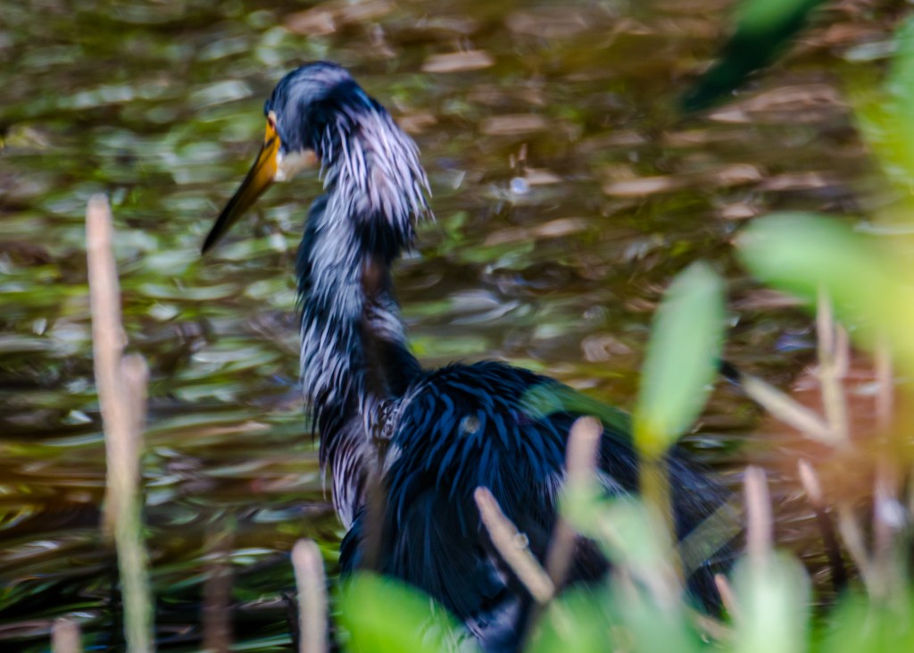
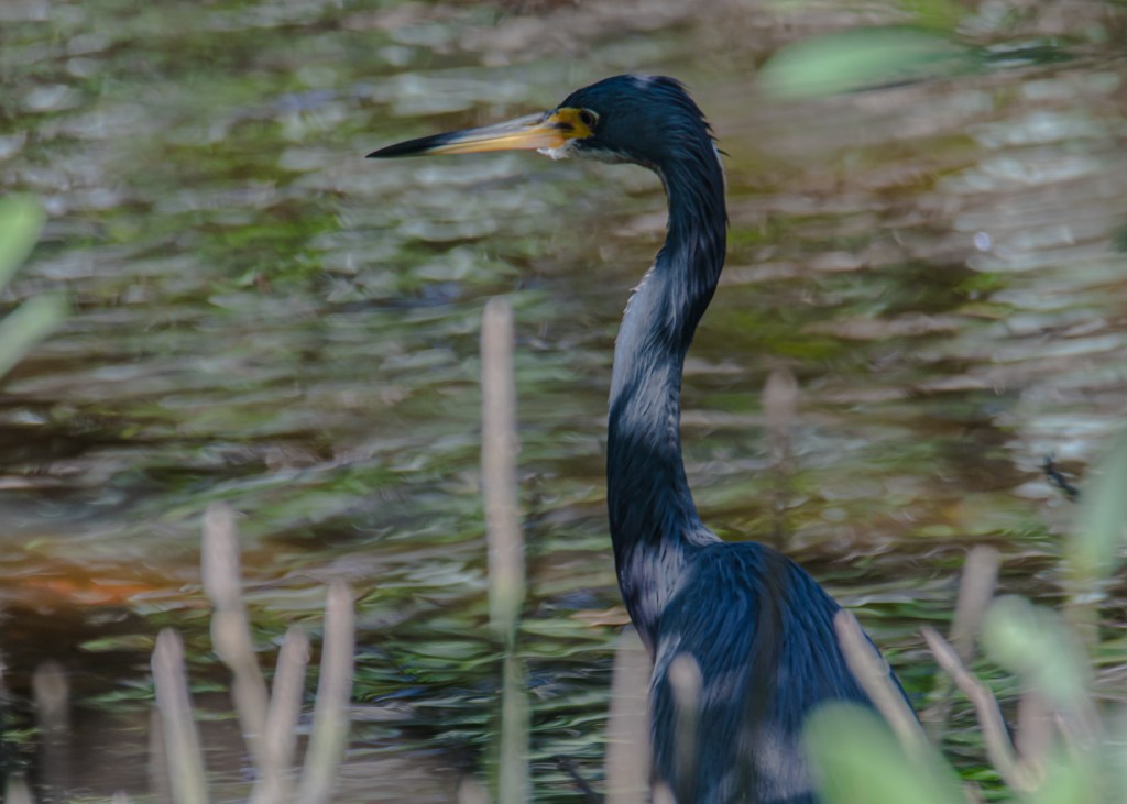
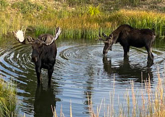
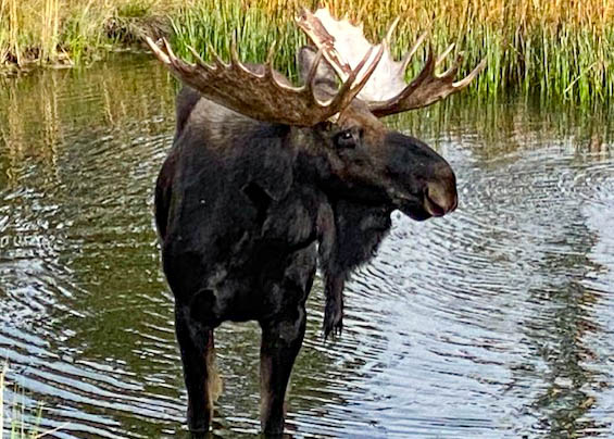
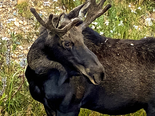
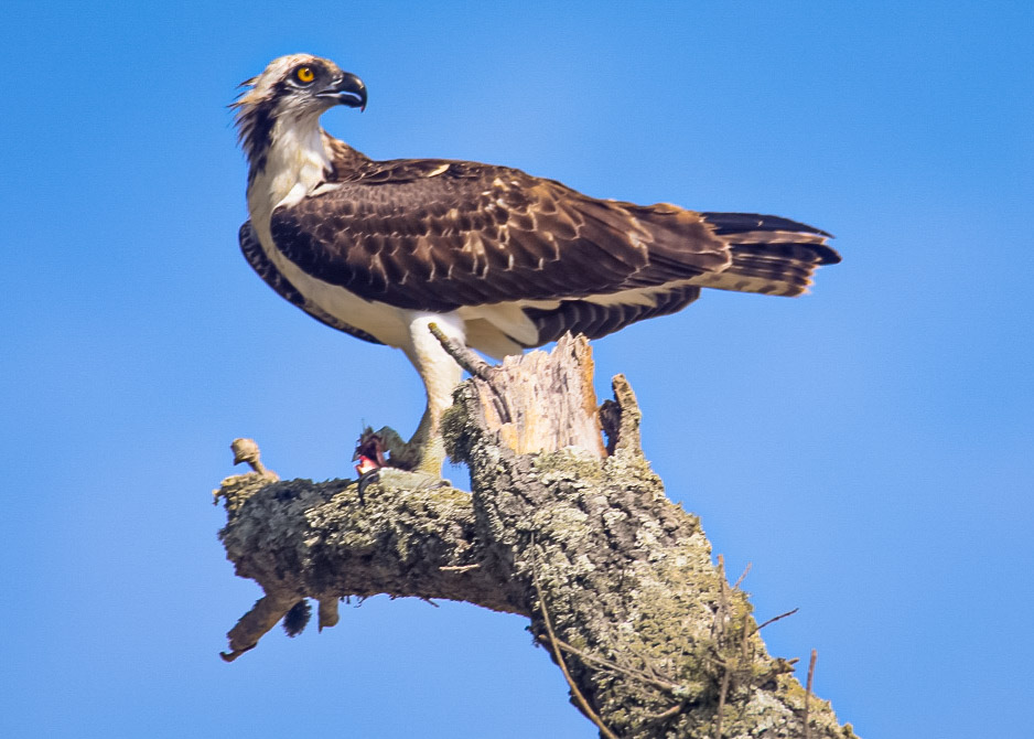
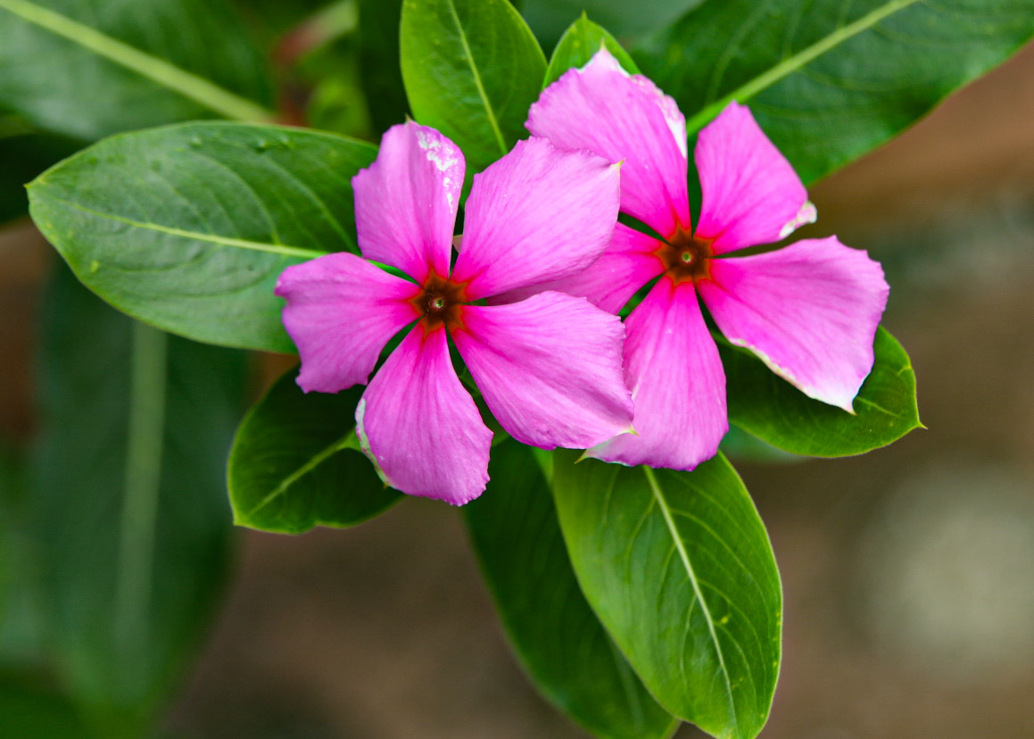
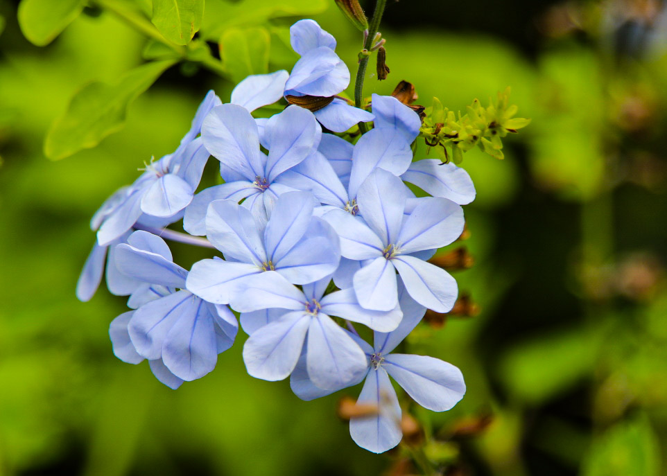
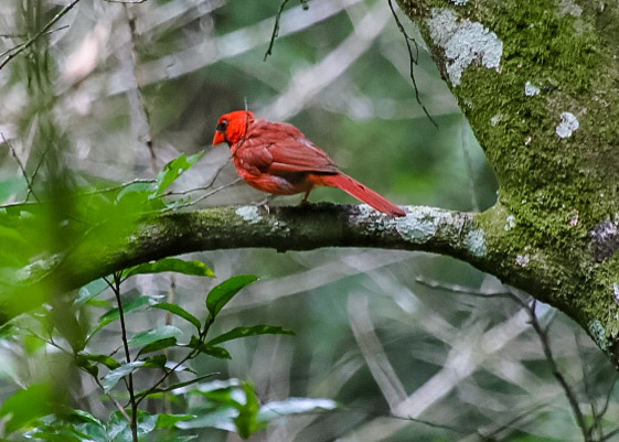
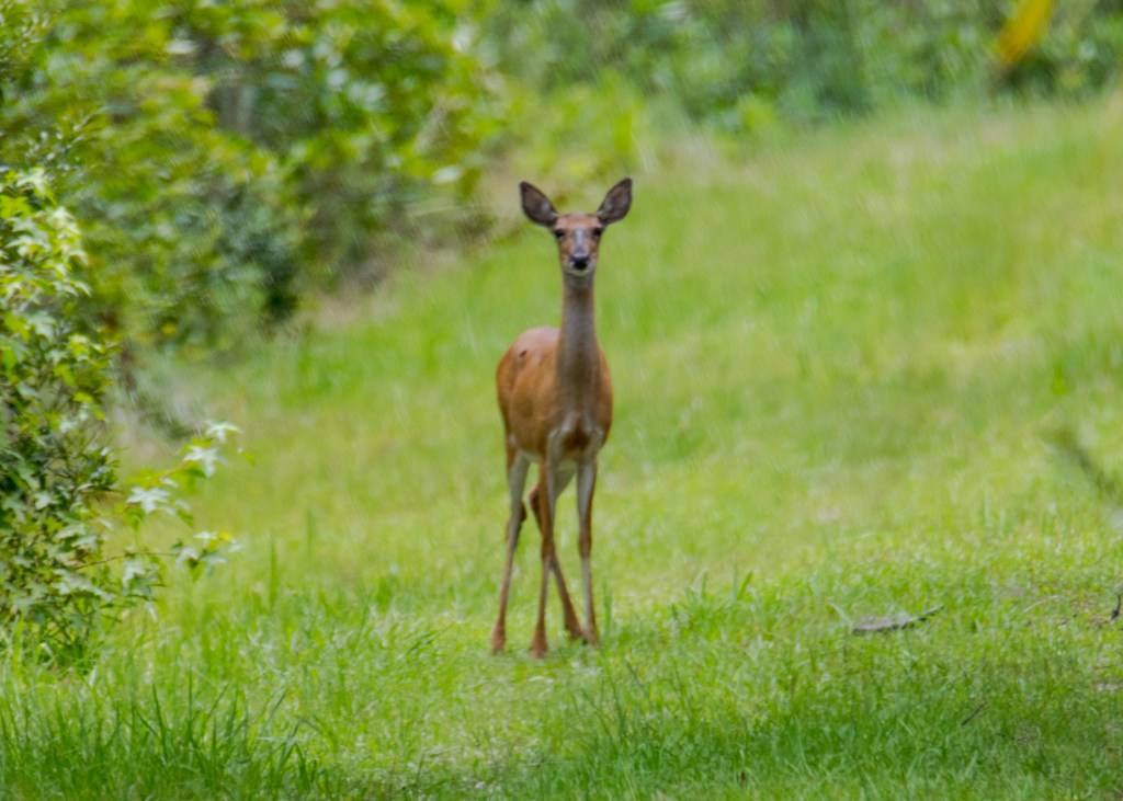
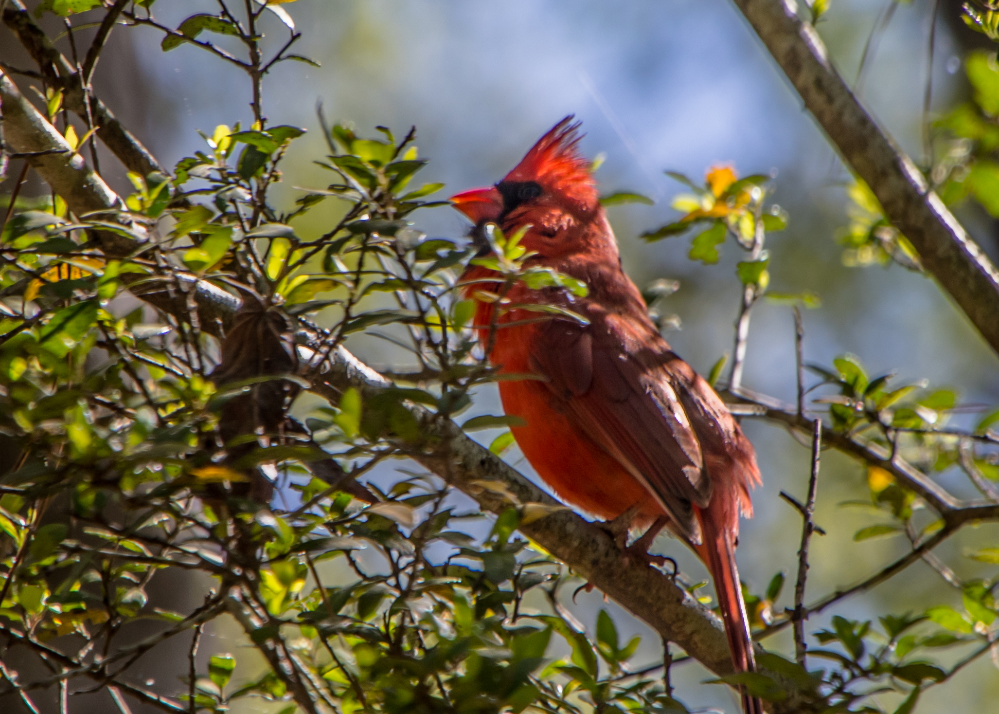
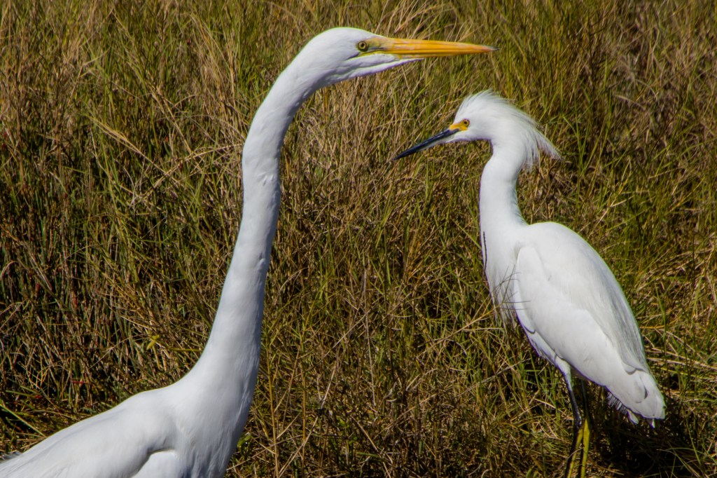
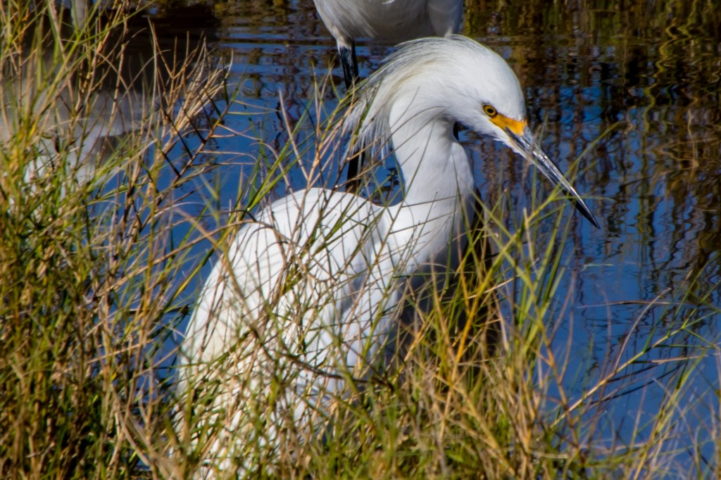
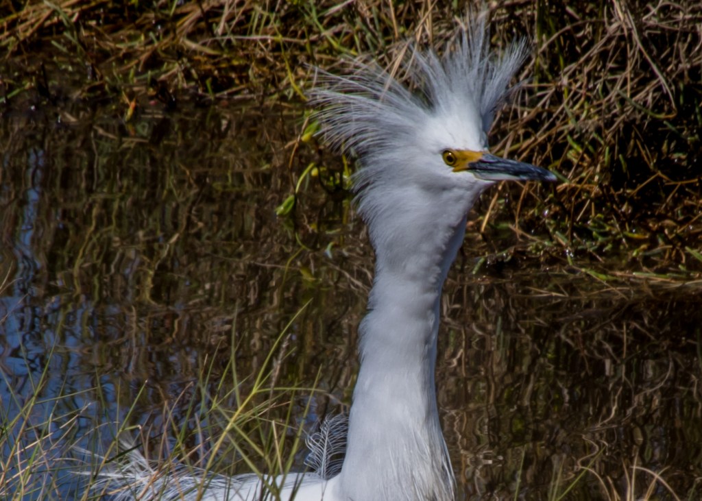
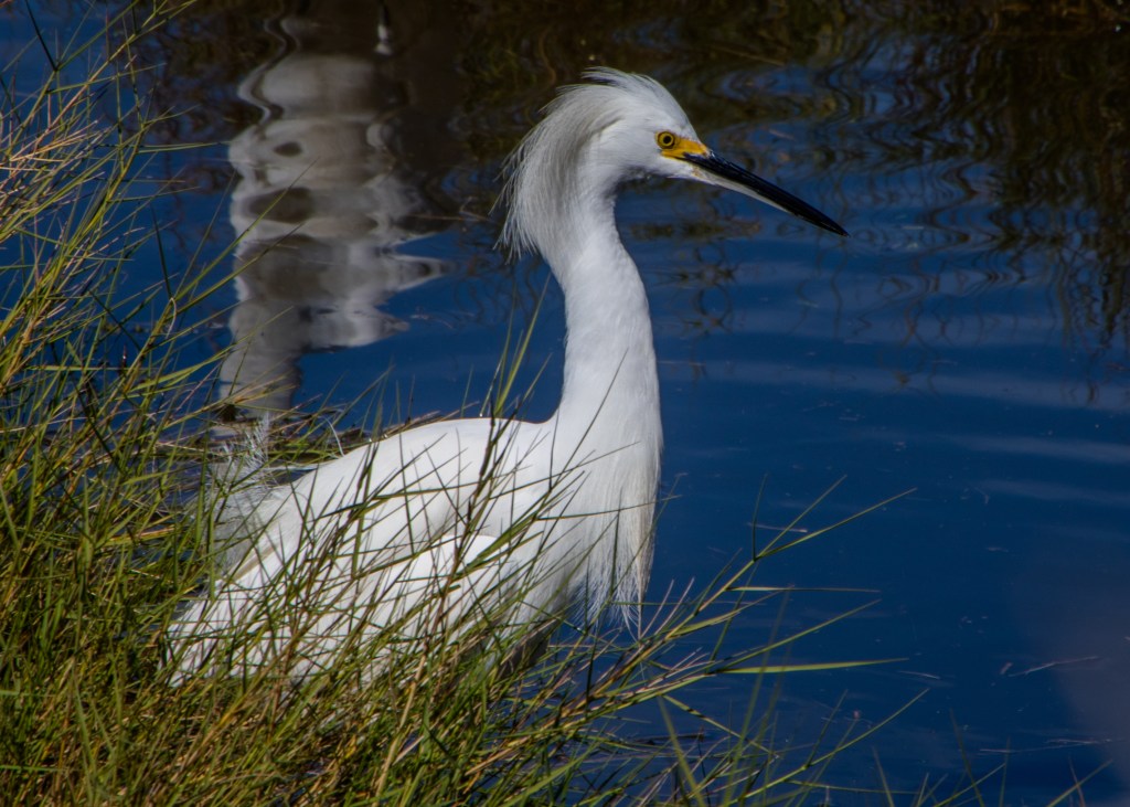
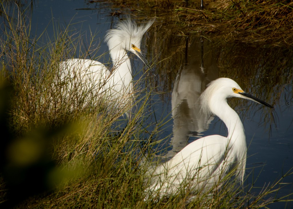
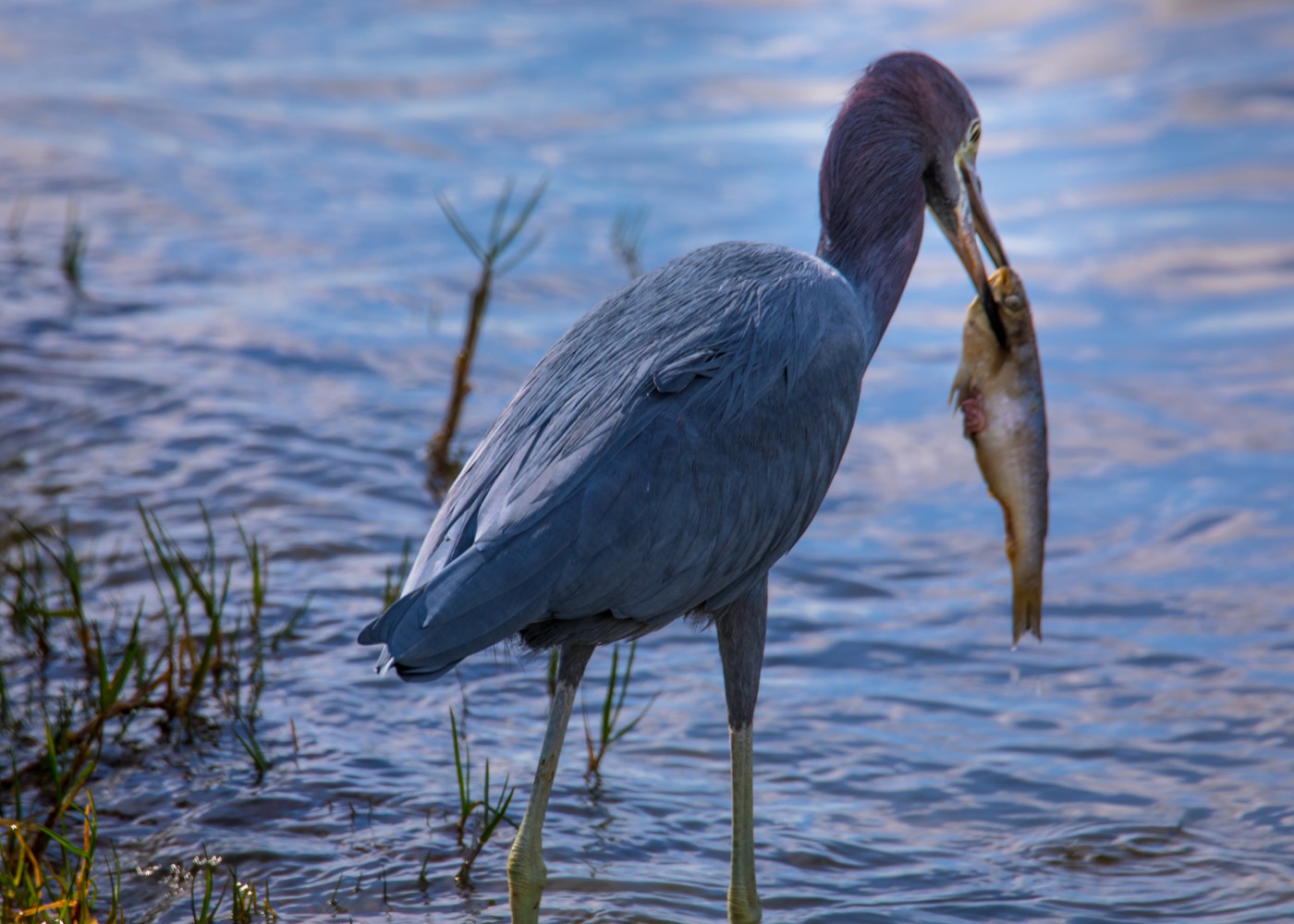
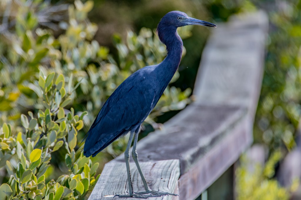
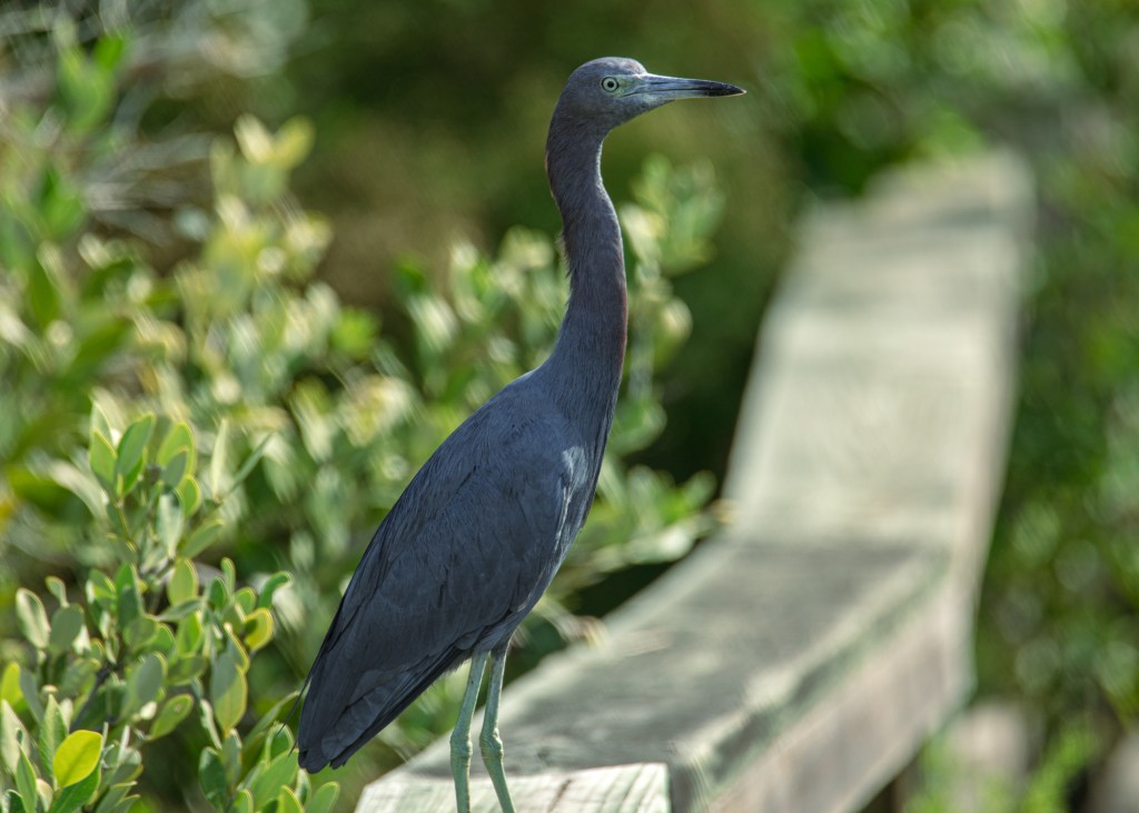
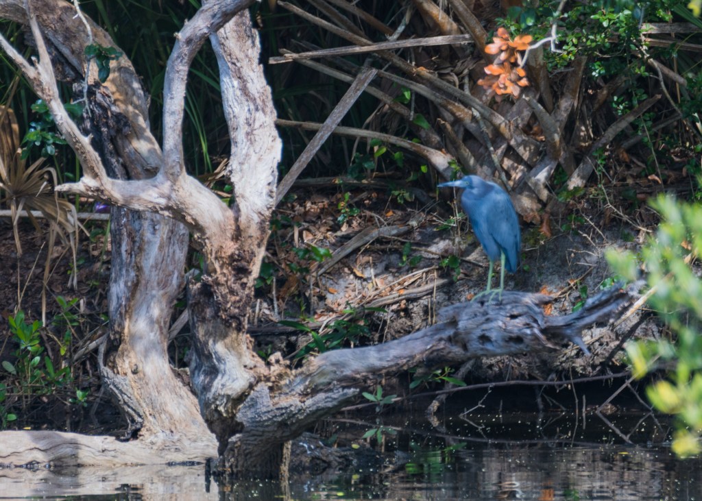
On our way back to our condominium we spotted these two having an evening meal.
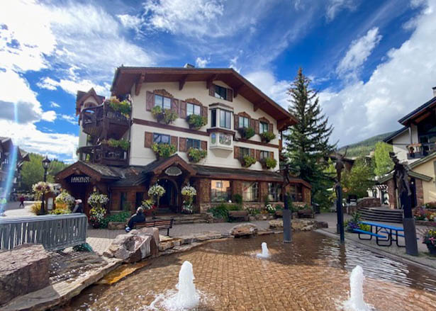
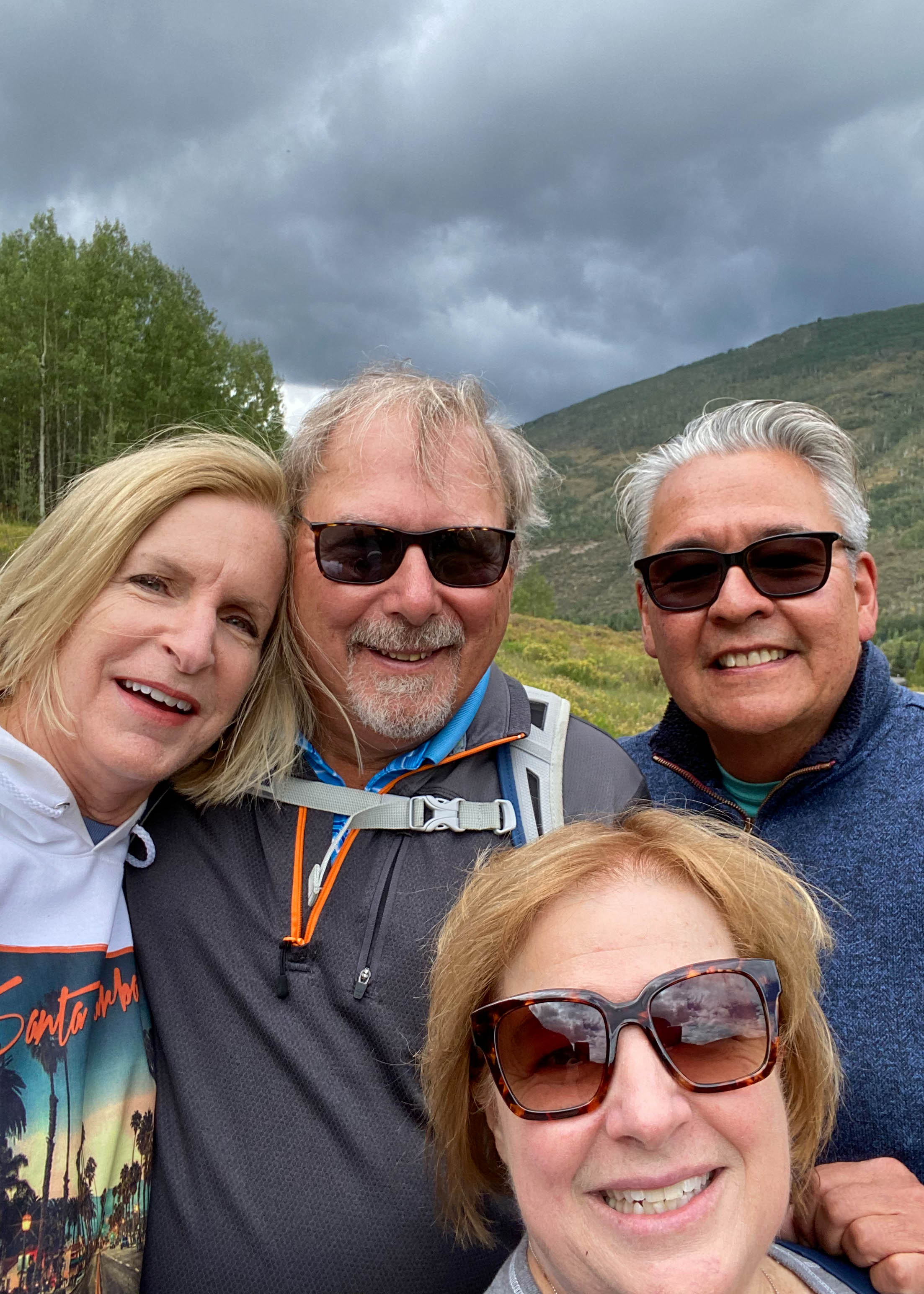
Our fifth day hiking plans were interrupted by an 80% forecasted chance of rain. But there was a bright side – we luckily saw on Facebook that friends from Pasadena were spending a week in Vail – so we drove over for a reunion 11 years in the waiting. Vail weather started out just cloudy, so we rented E-bikes (a first) to do a half-day ride through bike trails in the Vail area – about two hours into the trip the rain came (hard) so we raced back to the city center and dried out at Pepi’s Bar & Restaurant sampling spicy Bloody Mary’s and German food. After the storm passed, we tour the village and topped off the day with a great charcuterie board and of course some additional libations.

Stay tuned more from this trip to follow.
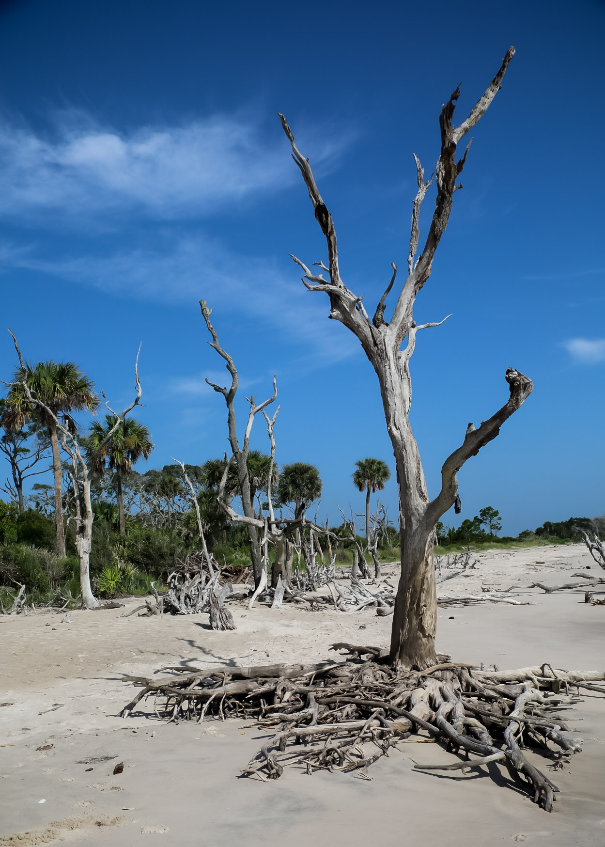
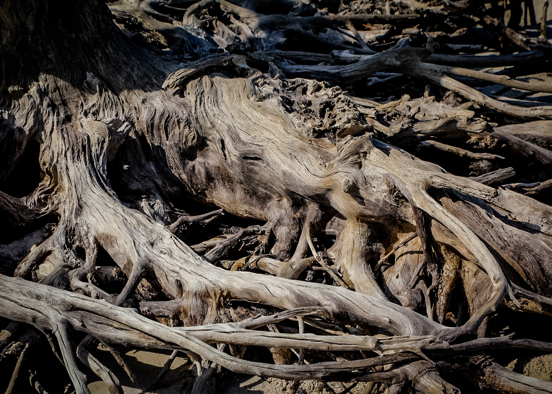
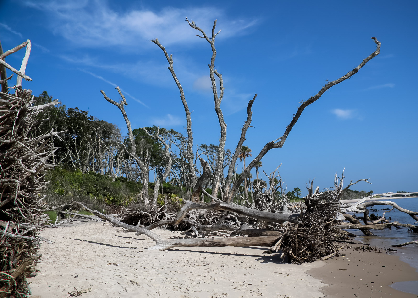
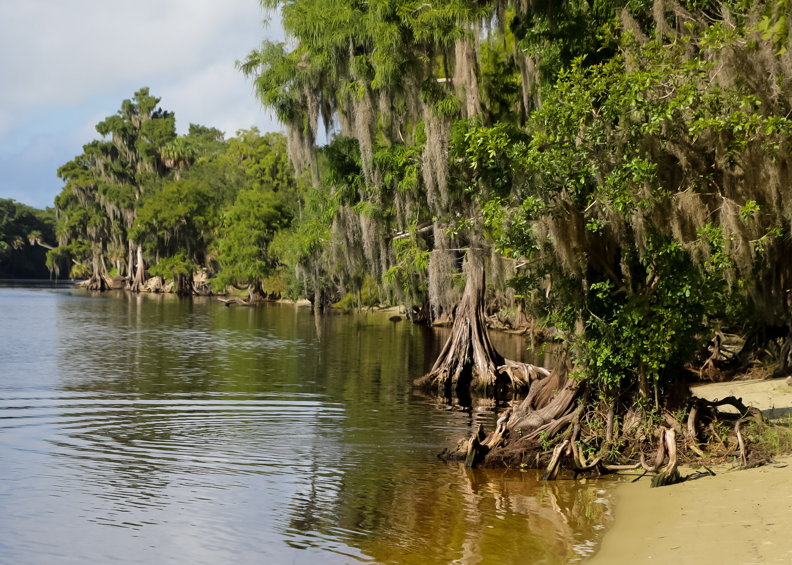
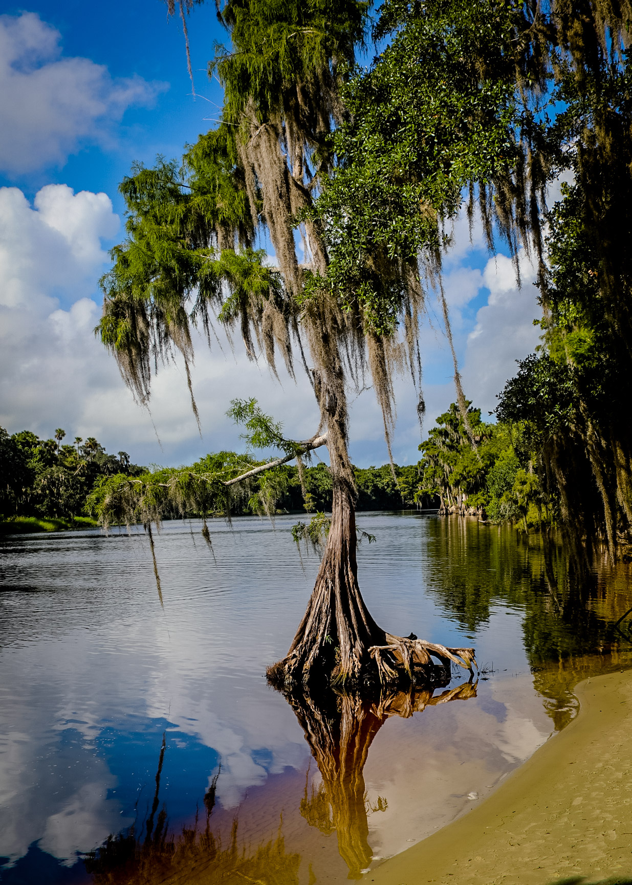
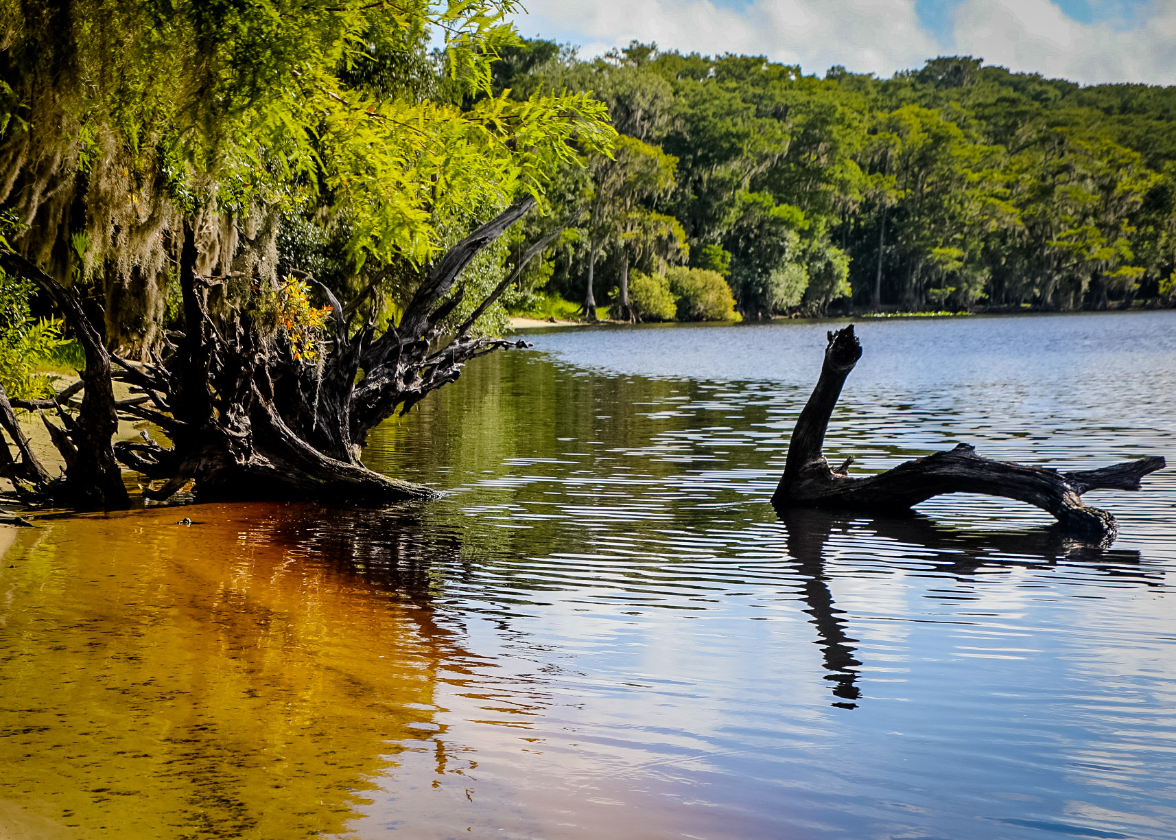
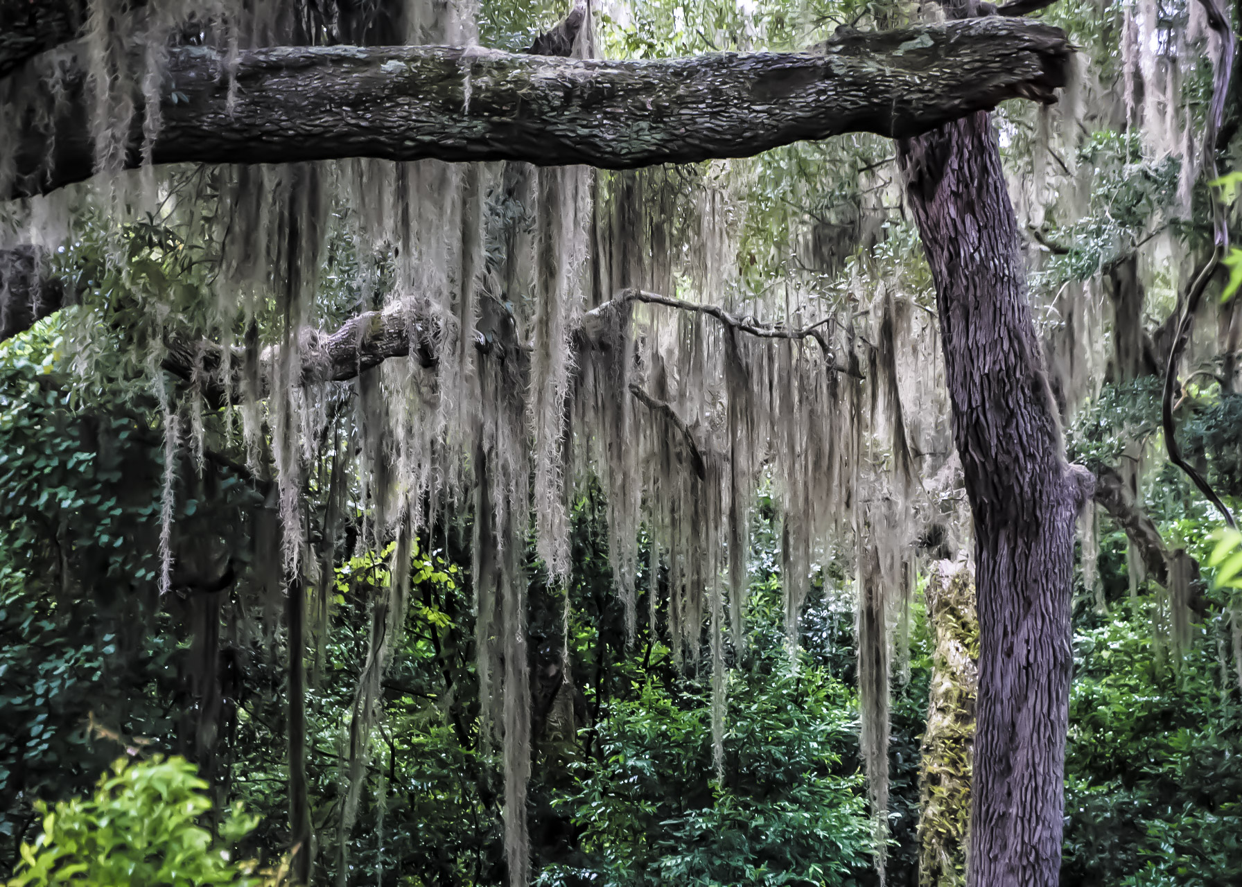
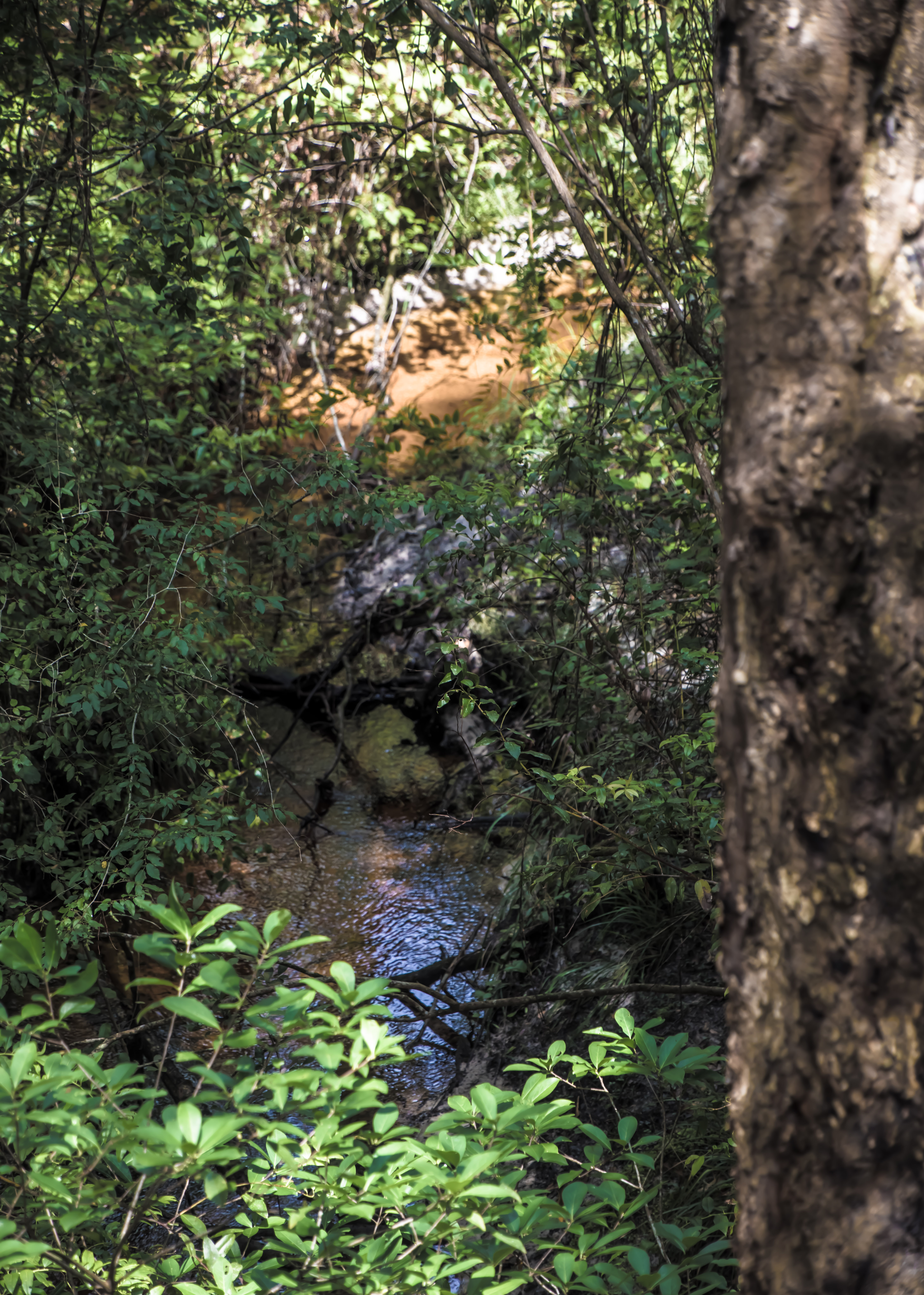
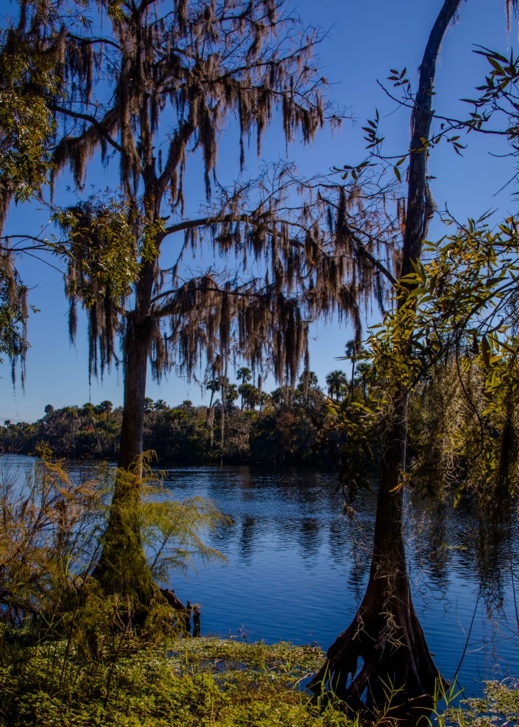
Little Talbot Island is one of a handful of undeveloped barrier islands remaining in Northeast Florida. Boasting more than 5 miles of pristine beaches and 3 miles of bike trails, Little Talbot offers untouched natural beauty and diverse ecosystems. There is, of course, the white sand and rolling surf typical of many high energy coasts. But there is also the eroding sun-bleached roots and fallen trunks of cedar and palm that create a linear tapestry of natural sculptures.

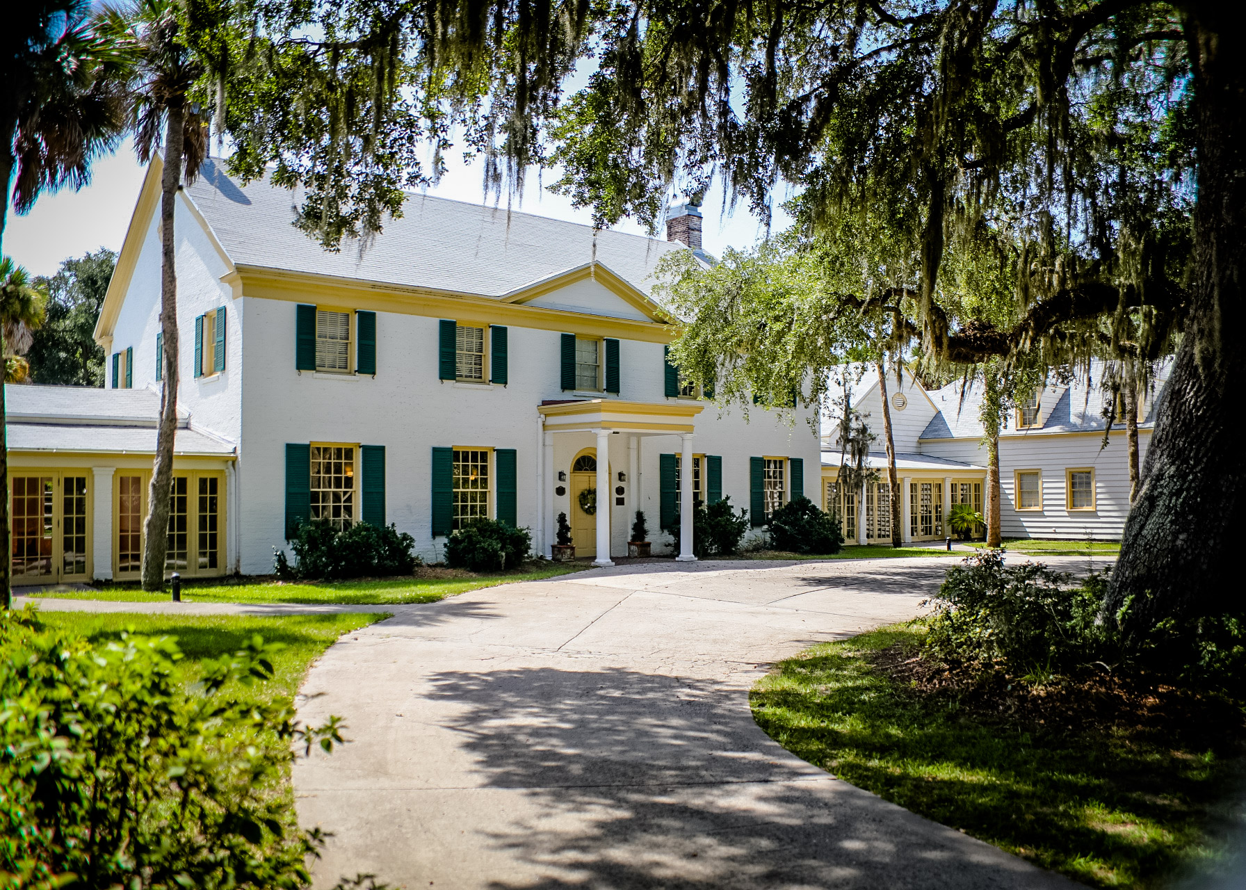
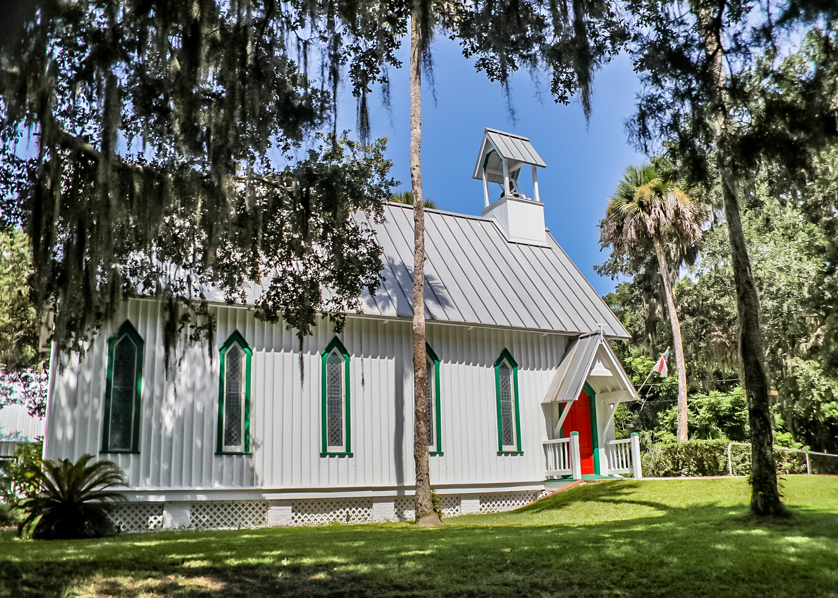
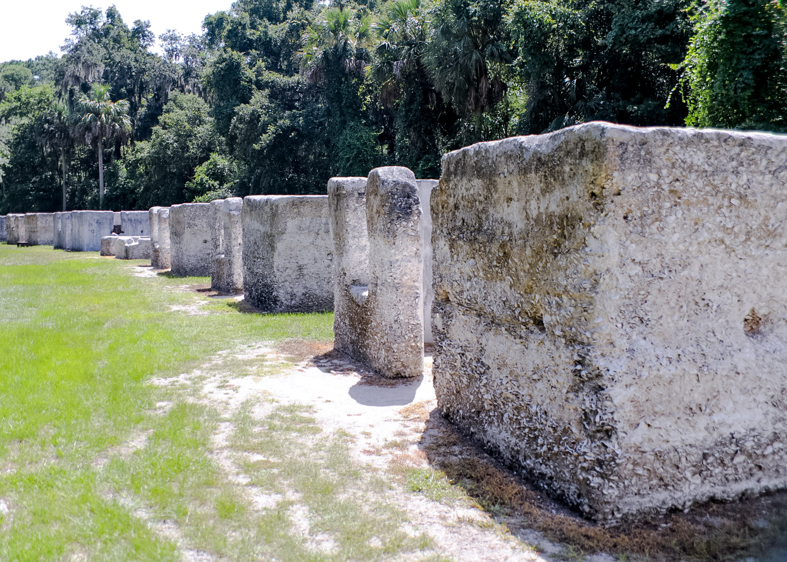
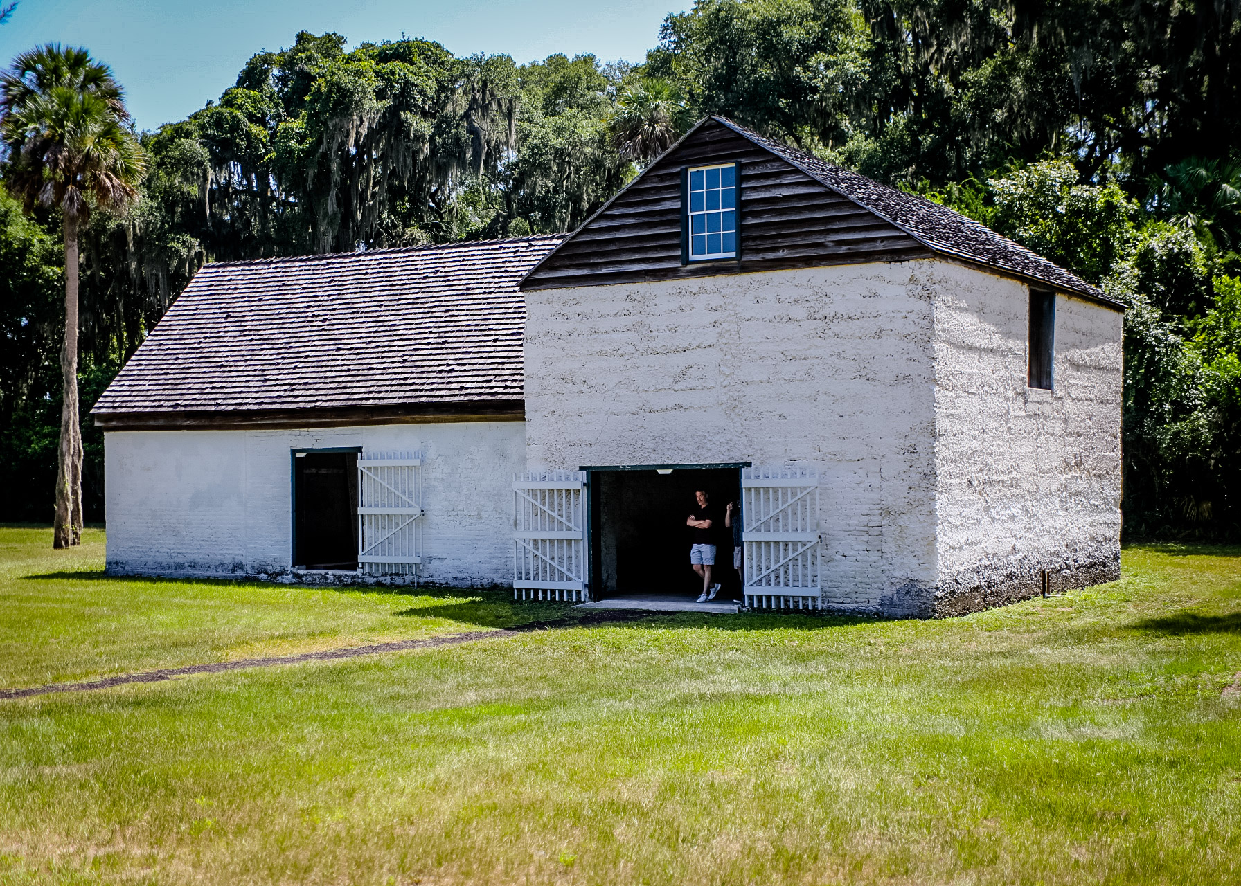
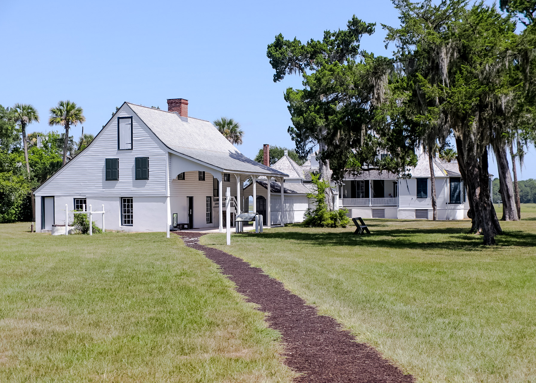
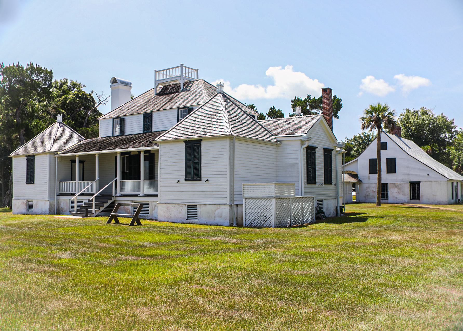
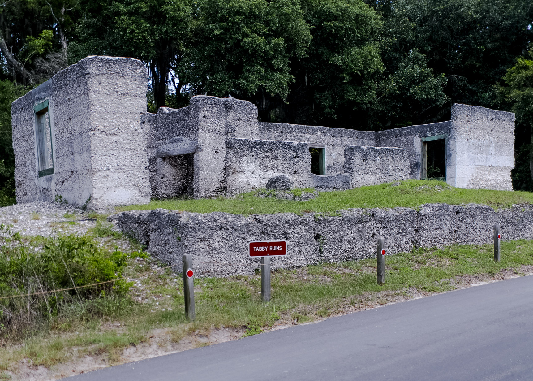
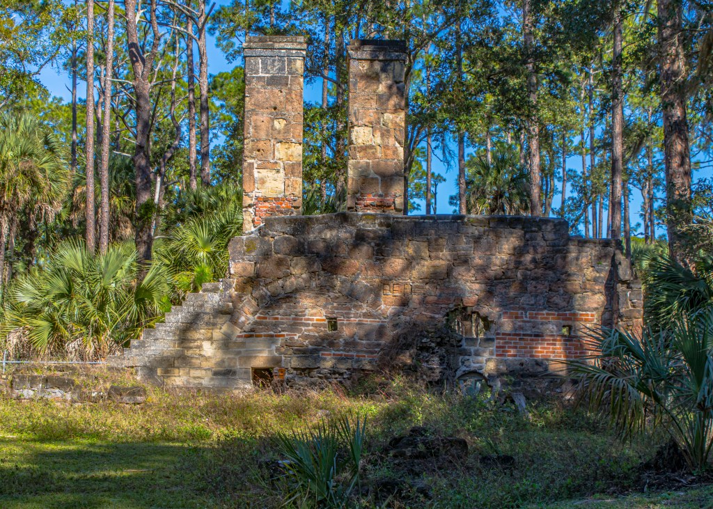
Fort George Island Cultural State Park – A site of human occupation for over 5,000 years, Fort George Island was named for a 1736 fort built to defend the southern flank of Georgia when it was a colony. The park includes the Riabault Club (a private club for well to do Northerns visiting in winters), St. George Episcopal Church, Kingsley Plantation and slave quarters and ruins of a Tabby constructed house.
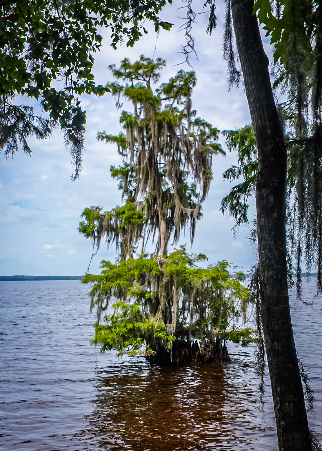
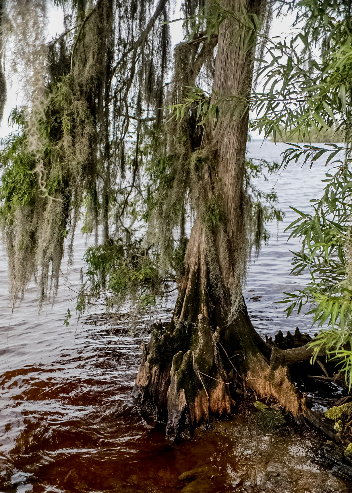
The 150-acre Hickory Bluff Preserve overlooks the St. Johns River and contains many natural communities including mesic and scrubby flatwoods, oak hammock, cypress domes, floodplain swamp, and wet prairie.
Etoniah Creek State Forest contains 8,902 acres of various natural communities. Etoniah Creek State Forest is named after Etoniah Creek, a stream that travels 2.5 miles through the eastern portion of the forest.

Ravine Gardens State Park is one of the nine New Deal-era state parks in Florida. The park has two ravines up to 120 feet deep with steep banks at 45-degree angles. Unlike common gullies, trenches or sinkholes caused by temporary flooding, the steephead ravines are a permanent feature with a spring-fed creek that never dries up, called Whitewater Branch. The underground water bubbling up cuts into the bank and carries the sand and soil downstream to the St. Johns River. Over thousands of years, the ravines have widened and deepened to what you see today. The 2.5-mile Azalea Trail winds through the ravine systems of Ravine Gardens State Park

Shell Bluff Park is in the Andalusia community just east of the Putnam County line. This 60-acre park features fishing, a floating dock, playground, hiking trail, picnic pavilions, restrooms, and a boat launching facility on Crescent Lake.
Carl Duval Moore State Forest is one of the smallest state forests (336 acres) but still maintains a variety of ecosystems, including sandhill, mesic flatwoods, wet flatwoods, and flatwoods lake. The park has two main hiking trails — (1) Up and Down Lake — the hiking trail is 1.2 miles in length and has interpretive tree identification signs along the route. (2) Hardesty Lake — hike down a 1.5-mile trail through a multitude of ecosystem types that range from sandhill to basin swamp.
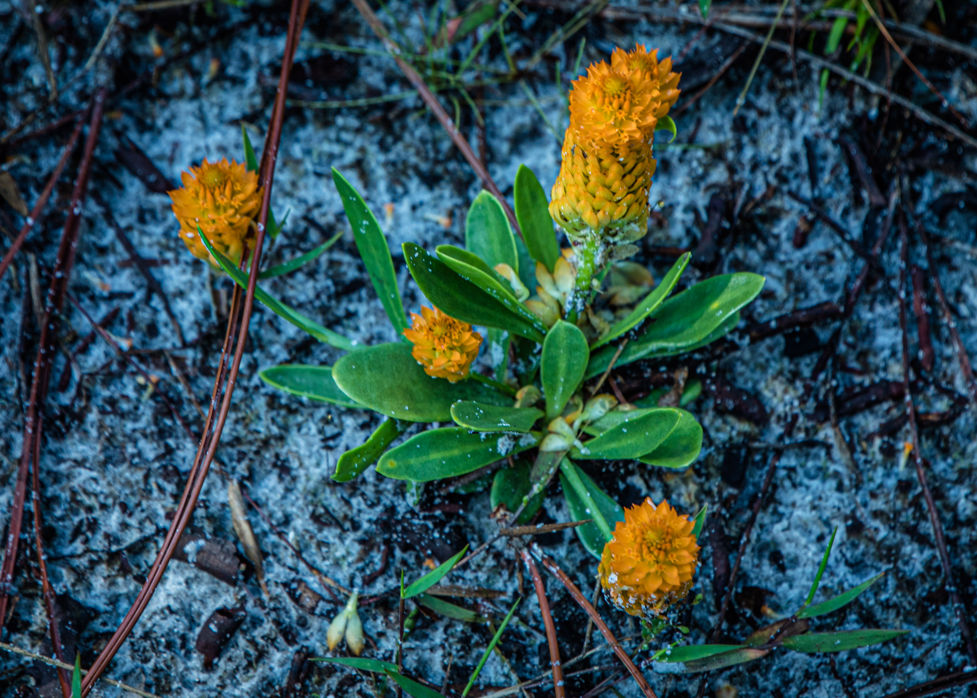
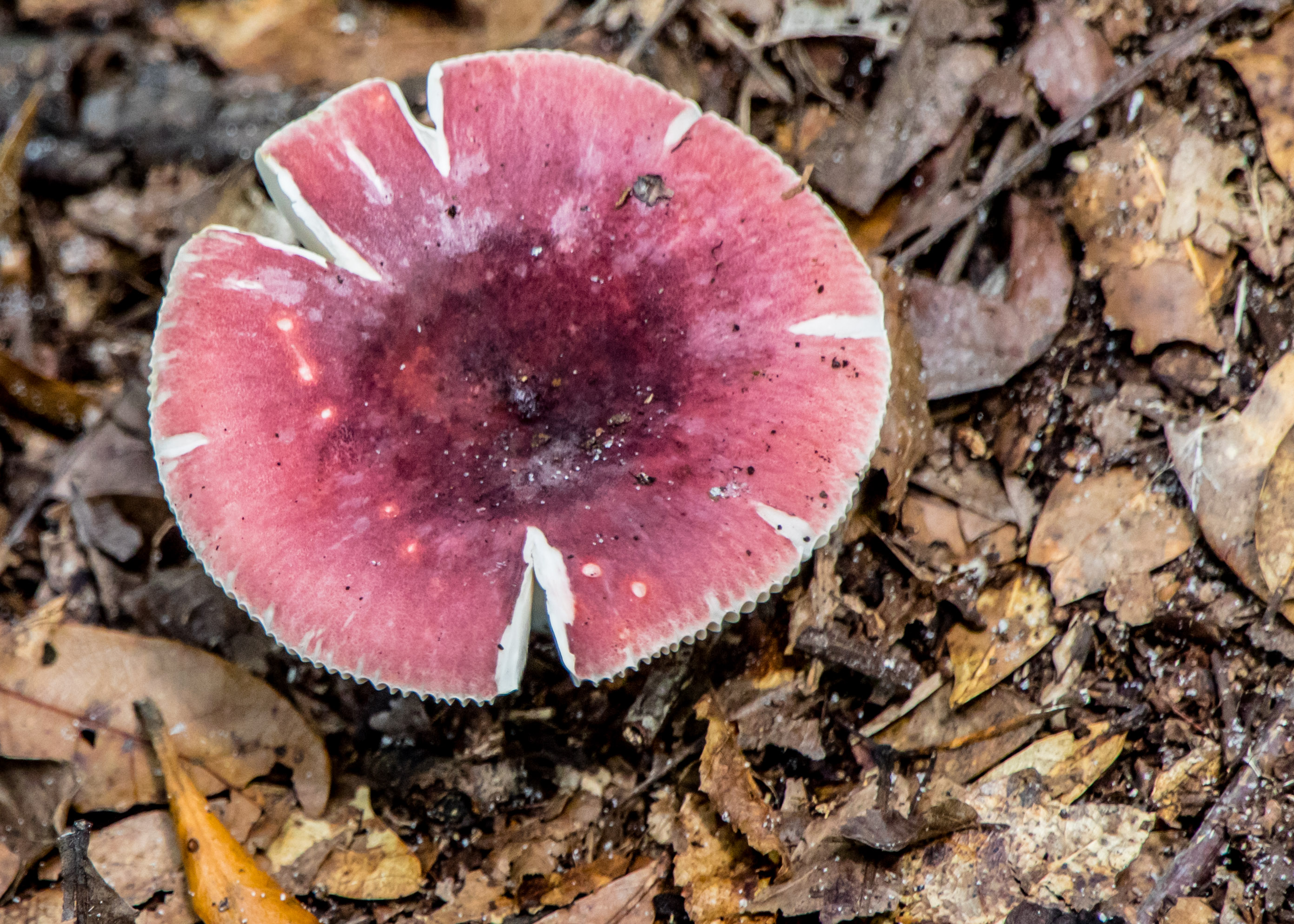
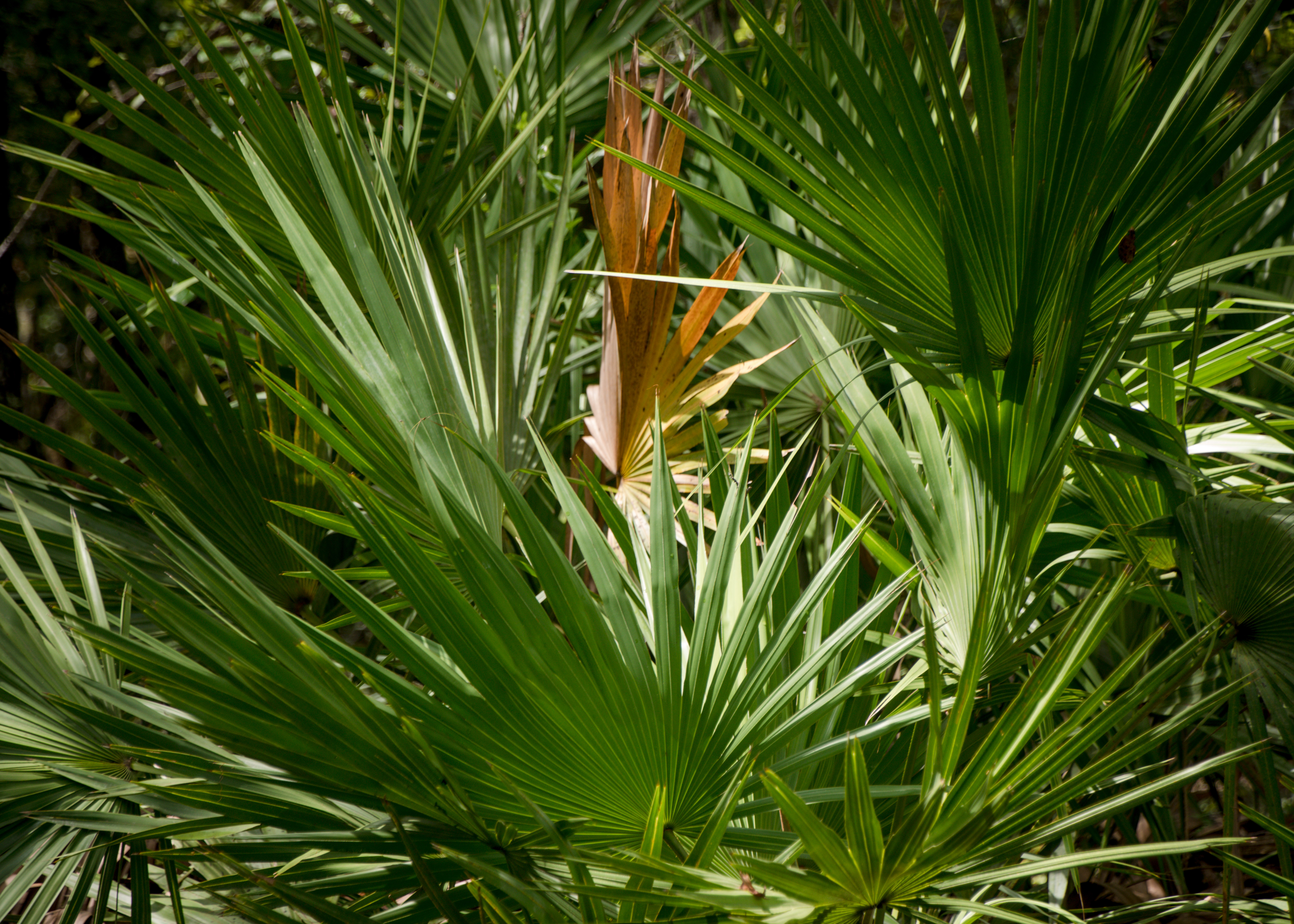
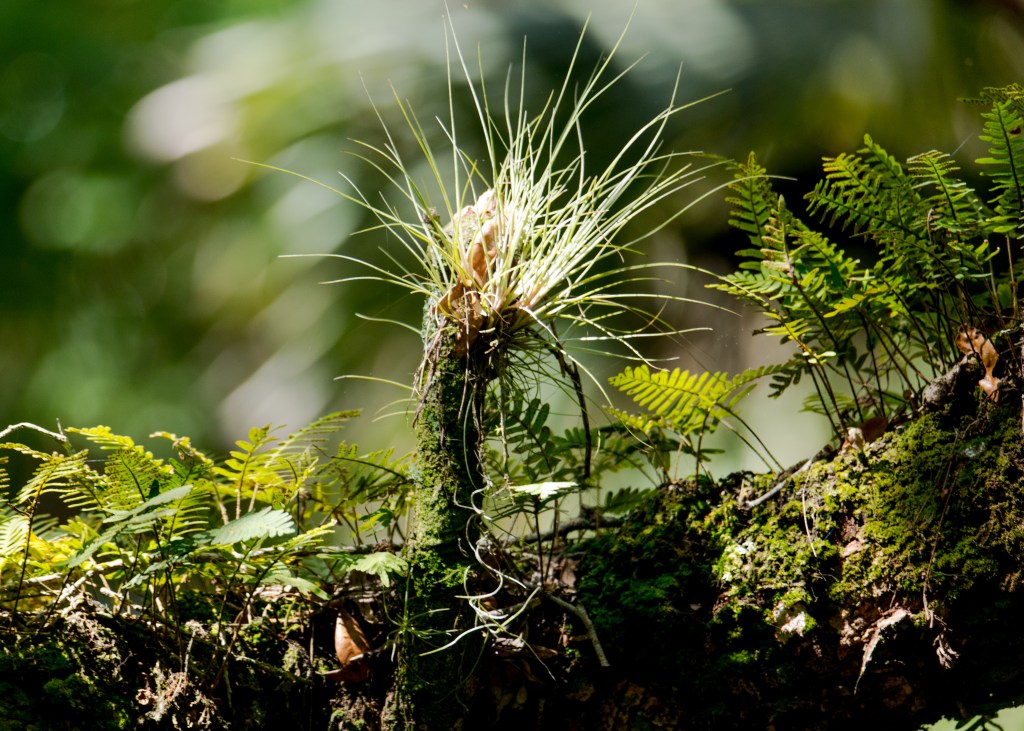
There are more than fifteen different natural biological communities in Jennings State Forest, including sandhill, slope forest, flatwoods, seepage slope, dome swamp, blackwater stream and seepage stream. Fire is needed to maintain many of these communities. The Florida Forest Service uses prescribed fire to maintain habitat for the forest’s unique plants and animals.
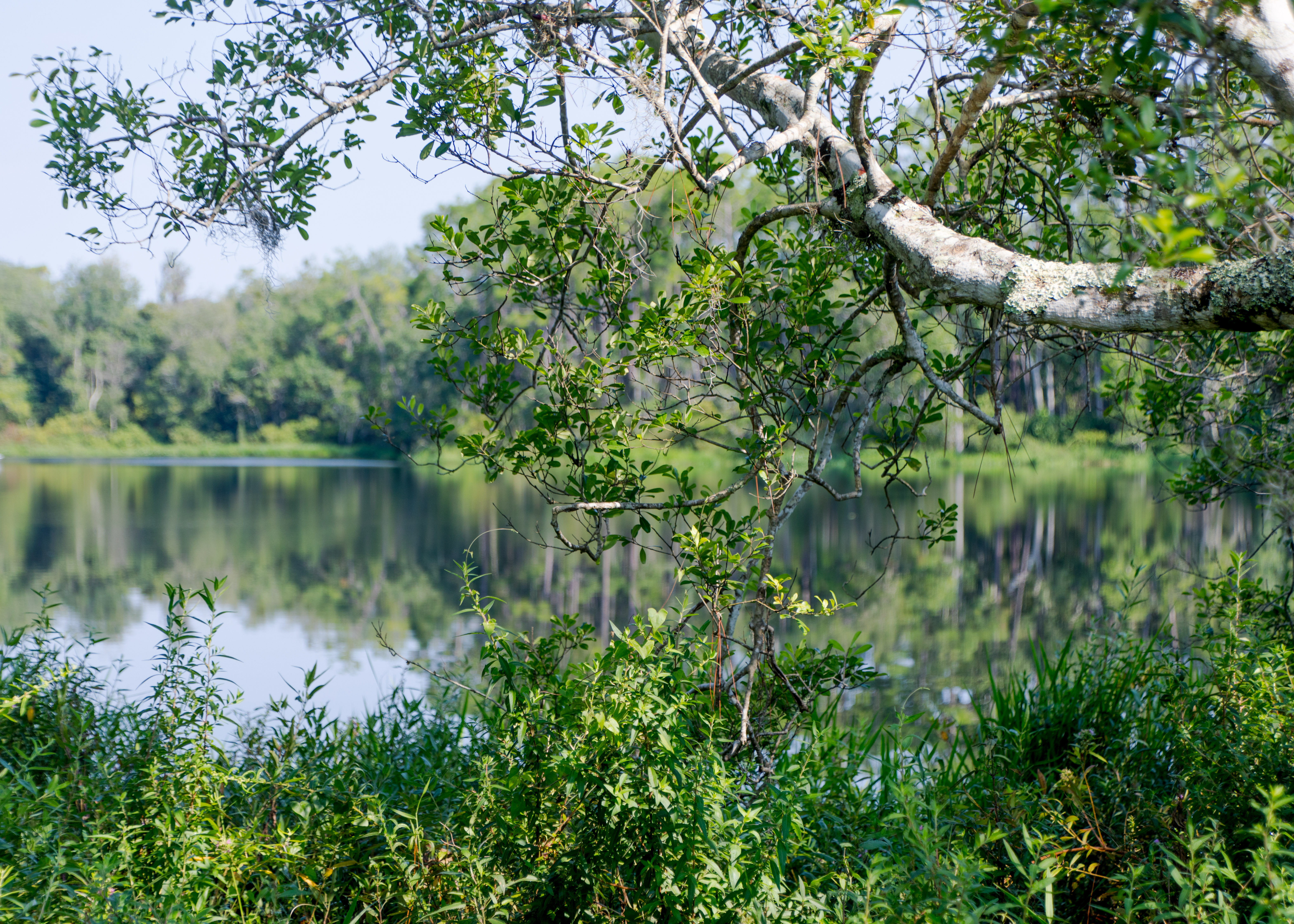
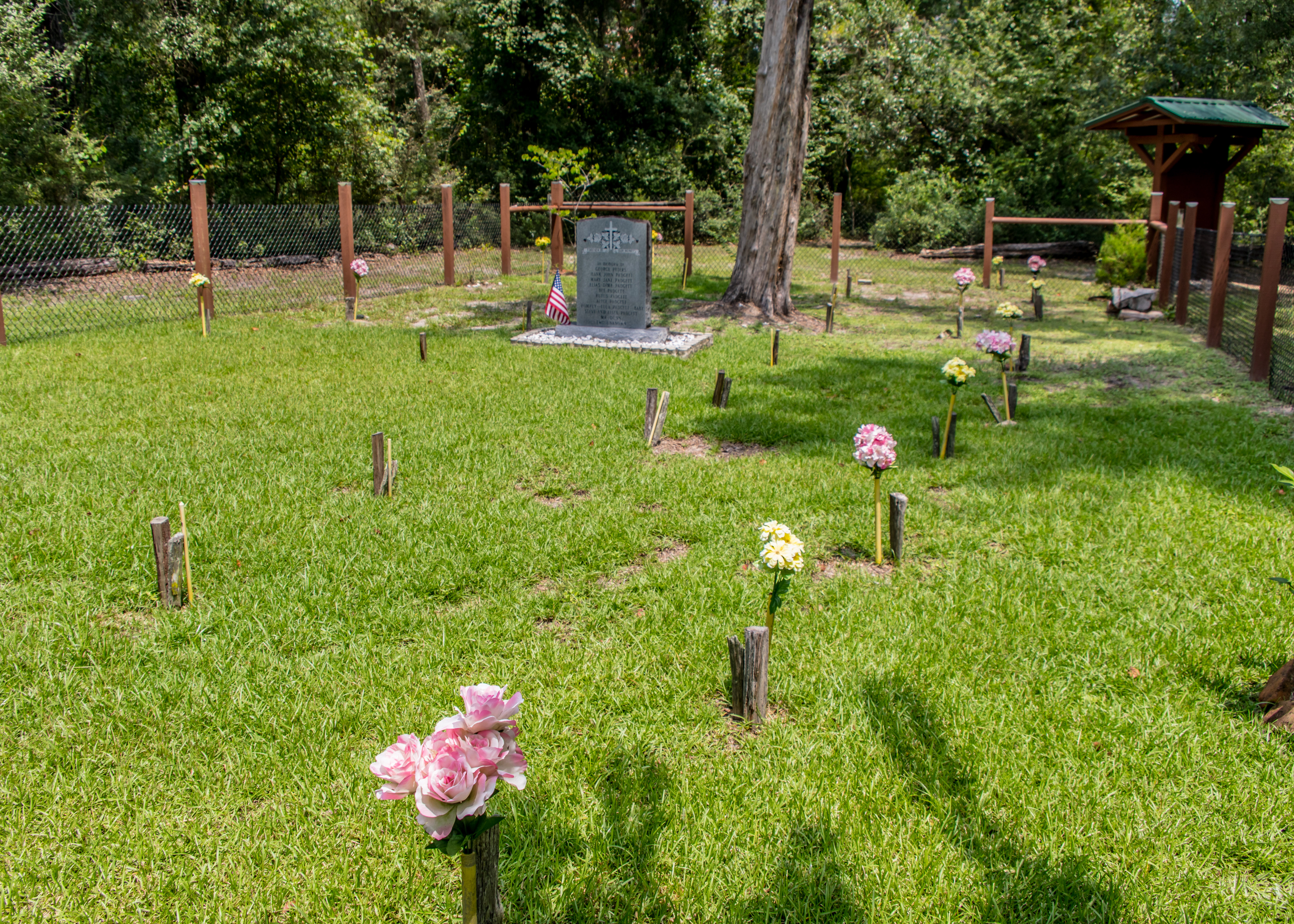
The Fire and Water Nature Trail is an informative 1.7-mile trail that will give insight into how fire and water affect the various forest communities. The Dunn’s Farm Trail is a 2.7-mile trail that offers a variety of ecosystems – ravines cut by springs, so called waterfalls (Duck Pond Falls) and a cemetery — for the Dunn and Padgett Families.
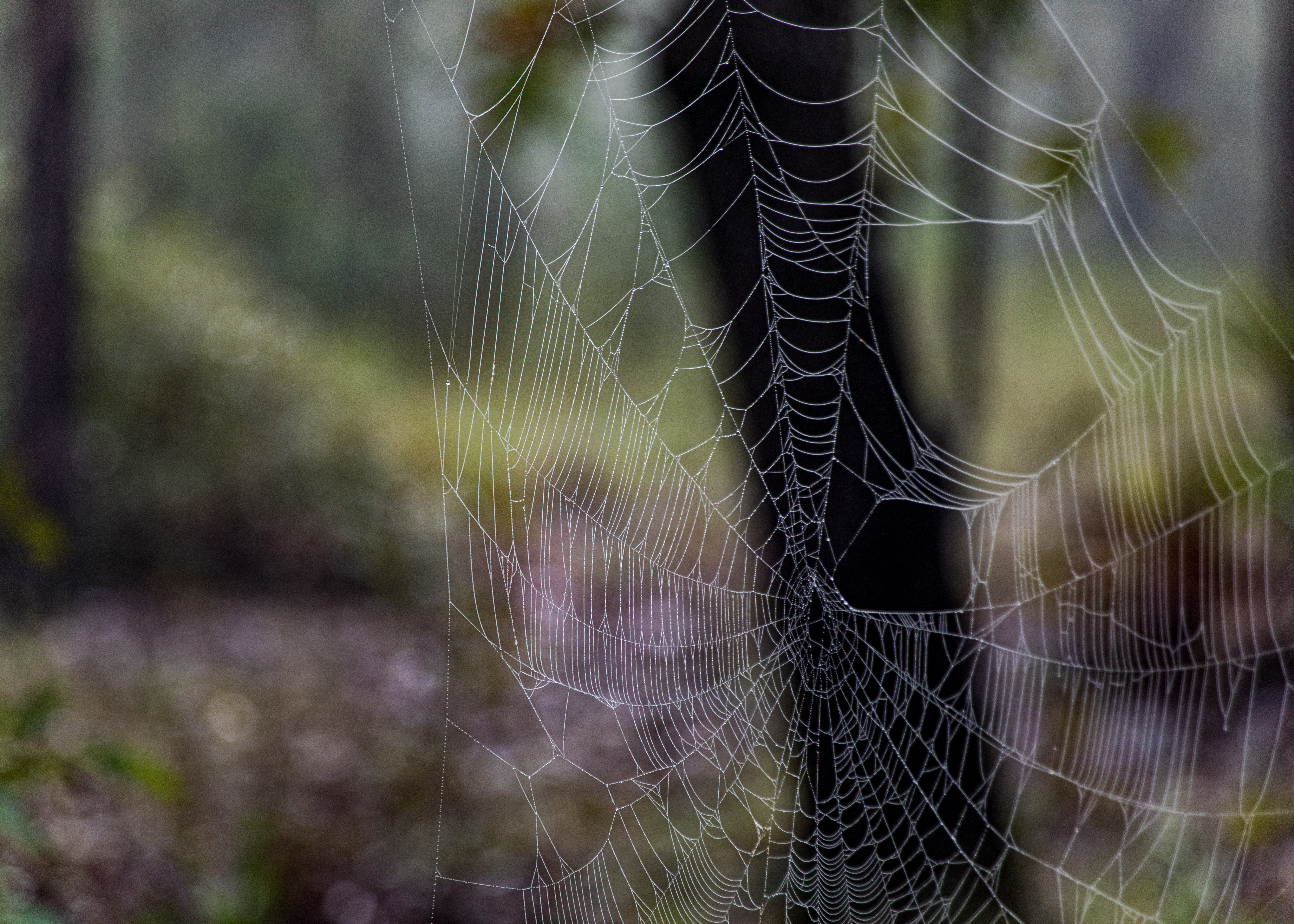
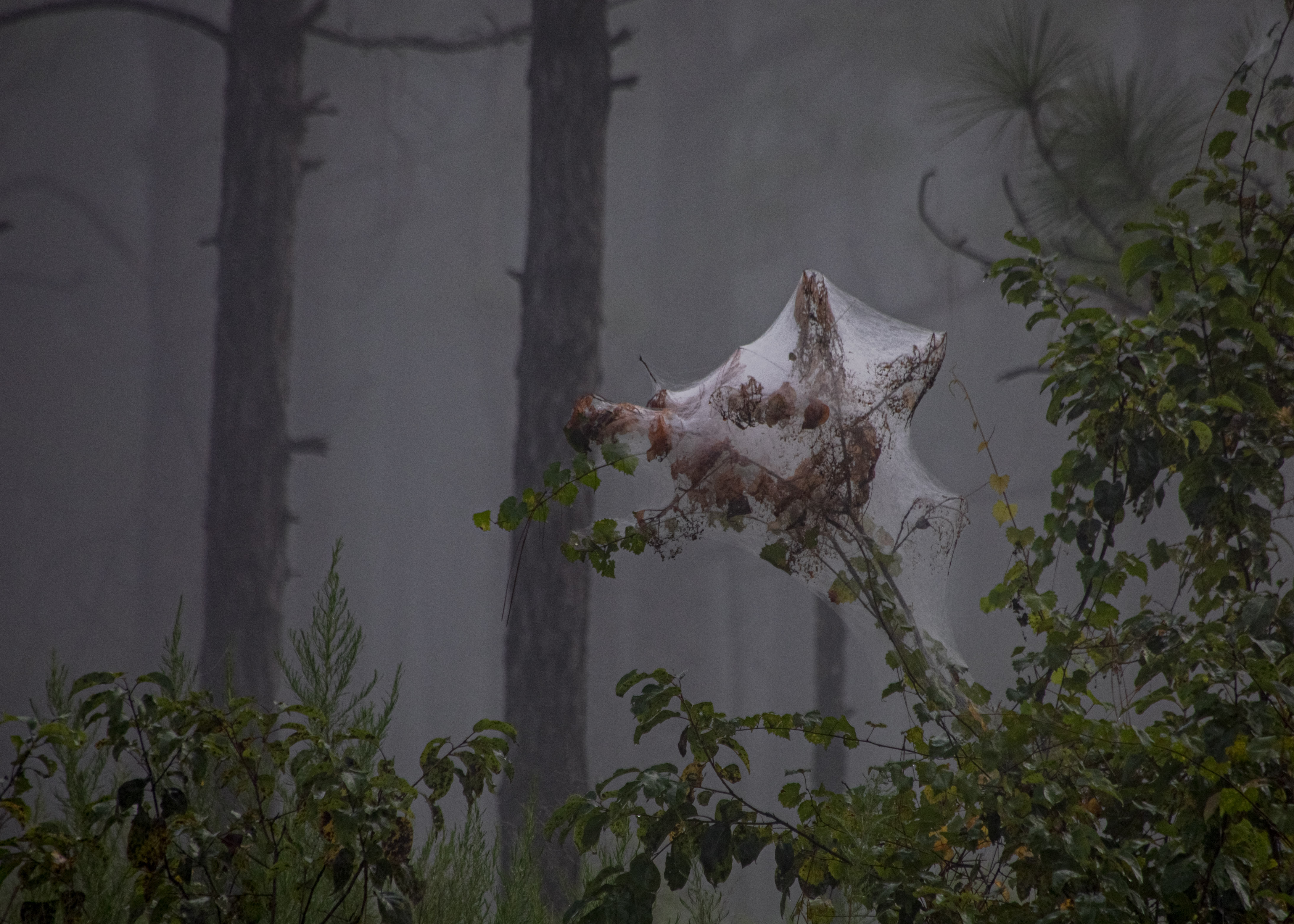
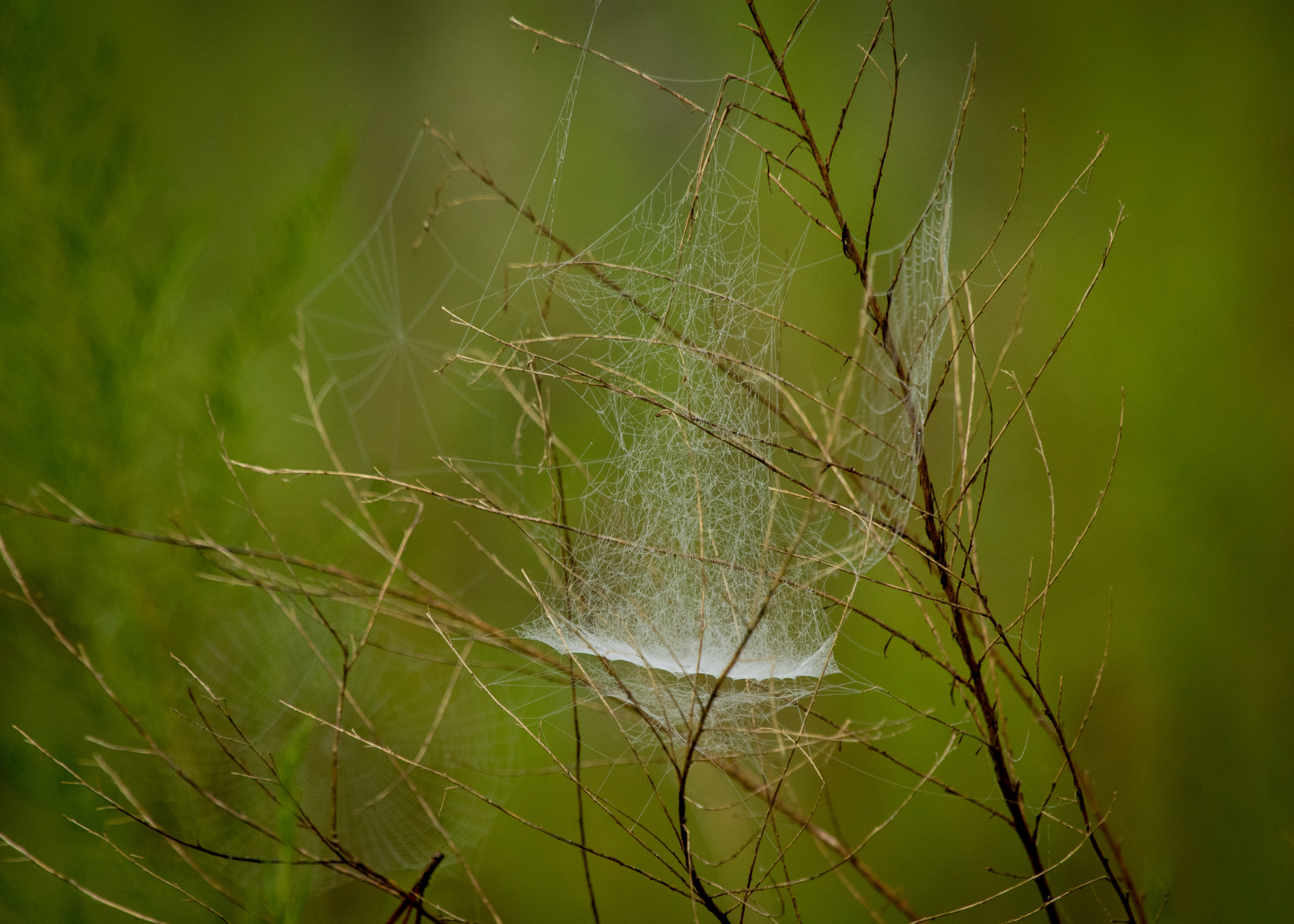
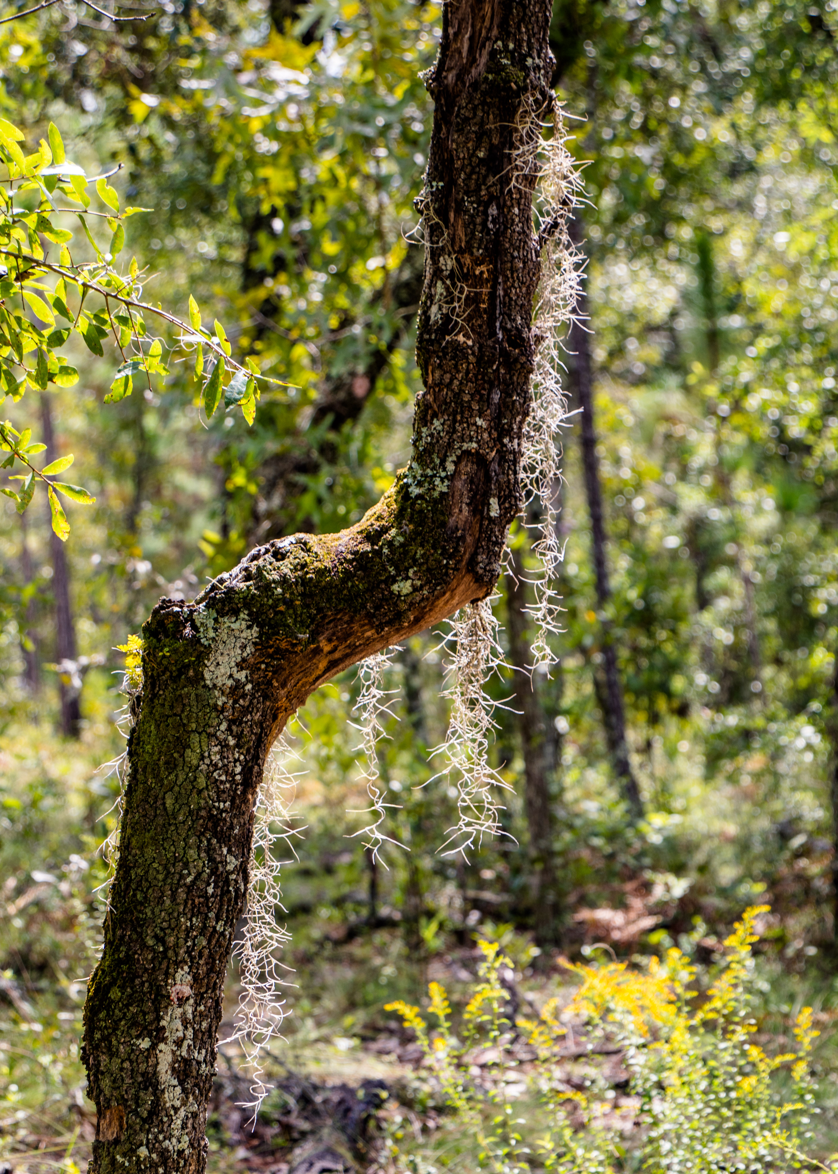
Ralph E. Simmons Memorial State Forest offers views St. Mary’s River (if you have a machete to get near it), which forms the northern boundary of the forest and serves as the forest’s primary water source. The 1.5-mile red trail gets you close to the river. I started on the 1.75-mile yellow trail (a spider habitat) in the early morning fog which was eerie on a trail that hadn’t been hiked in a long time.
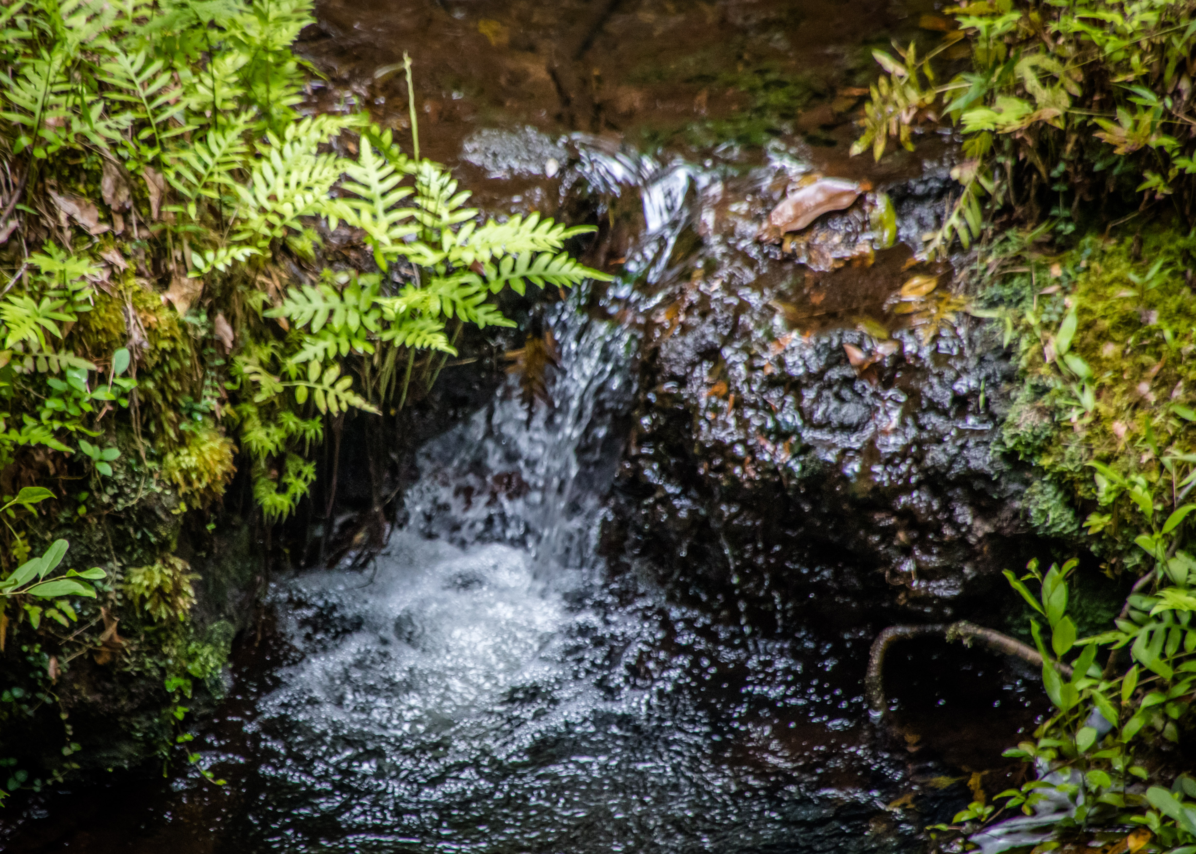
Cary State Forest was established as Florida’s second state forest in 1937. Cary is known for its scenic mature flatwoods, sandhill and basin marsh. The 1.25-mile Nature Trail at Cary State Forest winds and twists through scenic flatwoods and cypress swamp and includes a boardwalk that takes hikers across the wetlands.

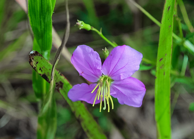
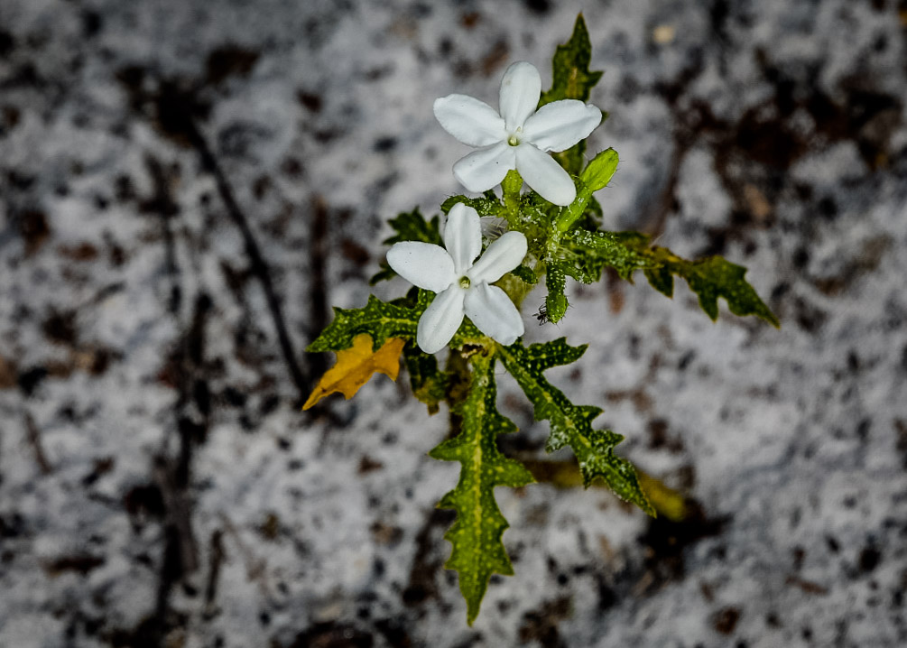
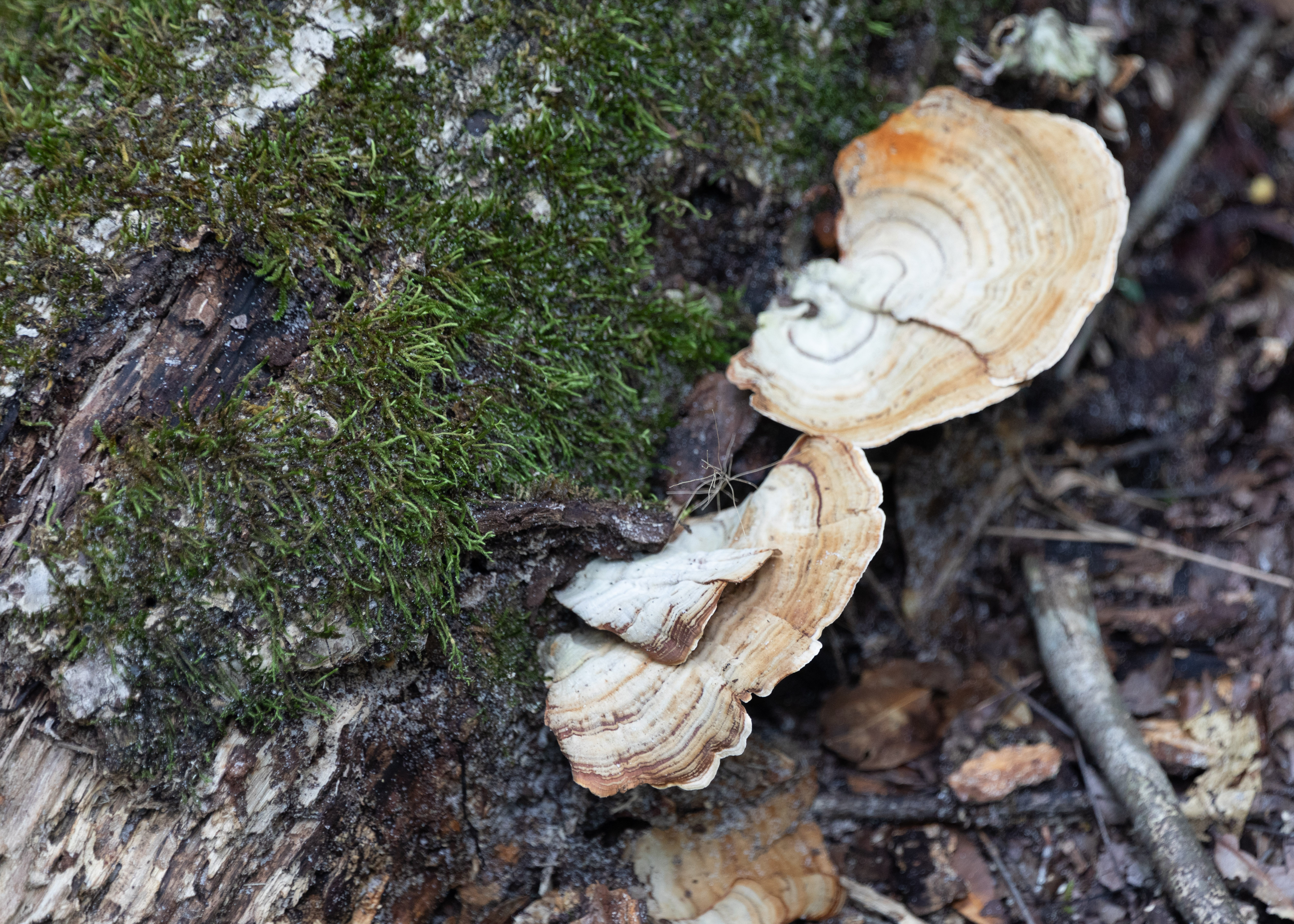
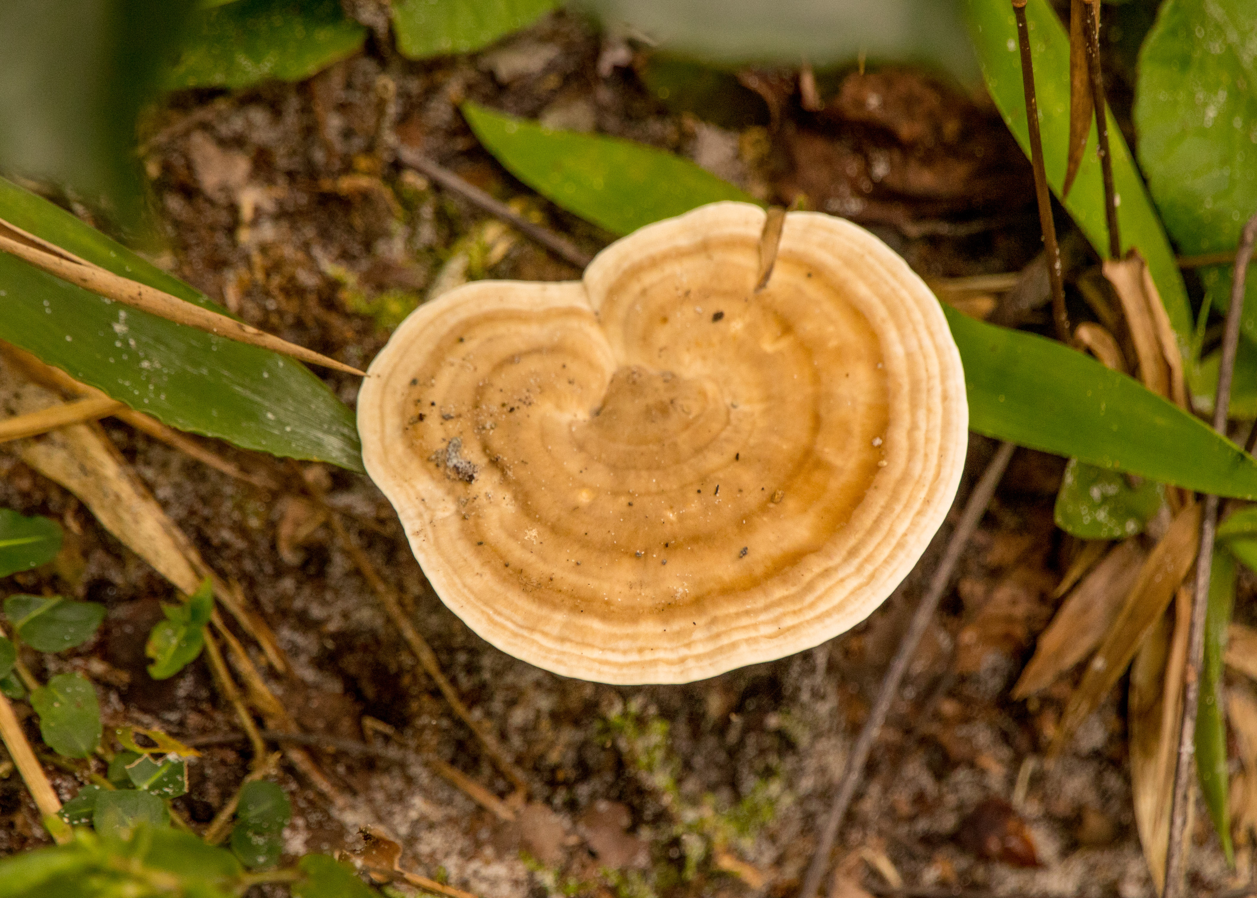
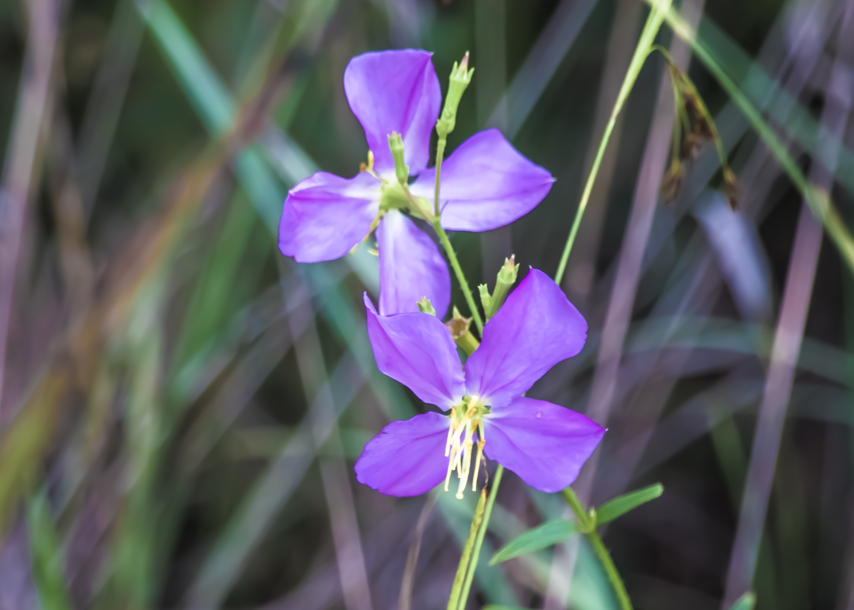
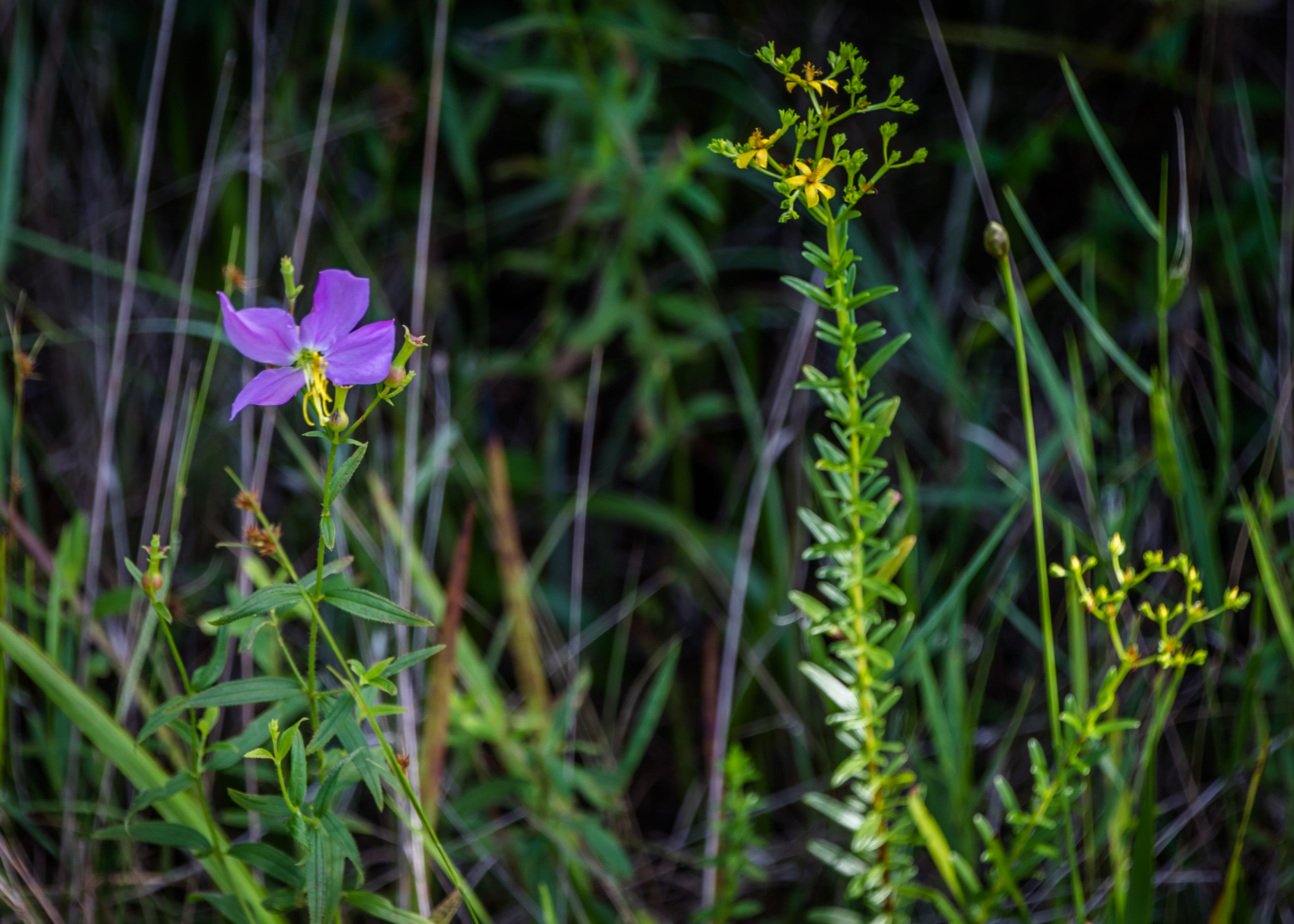
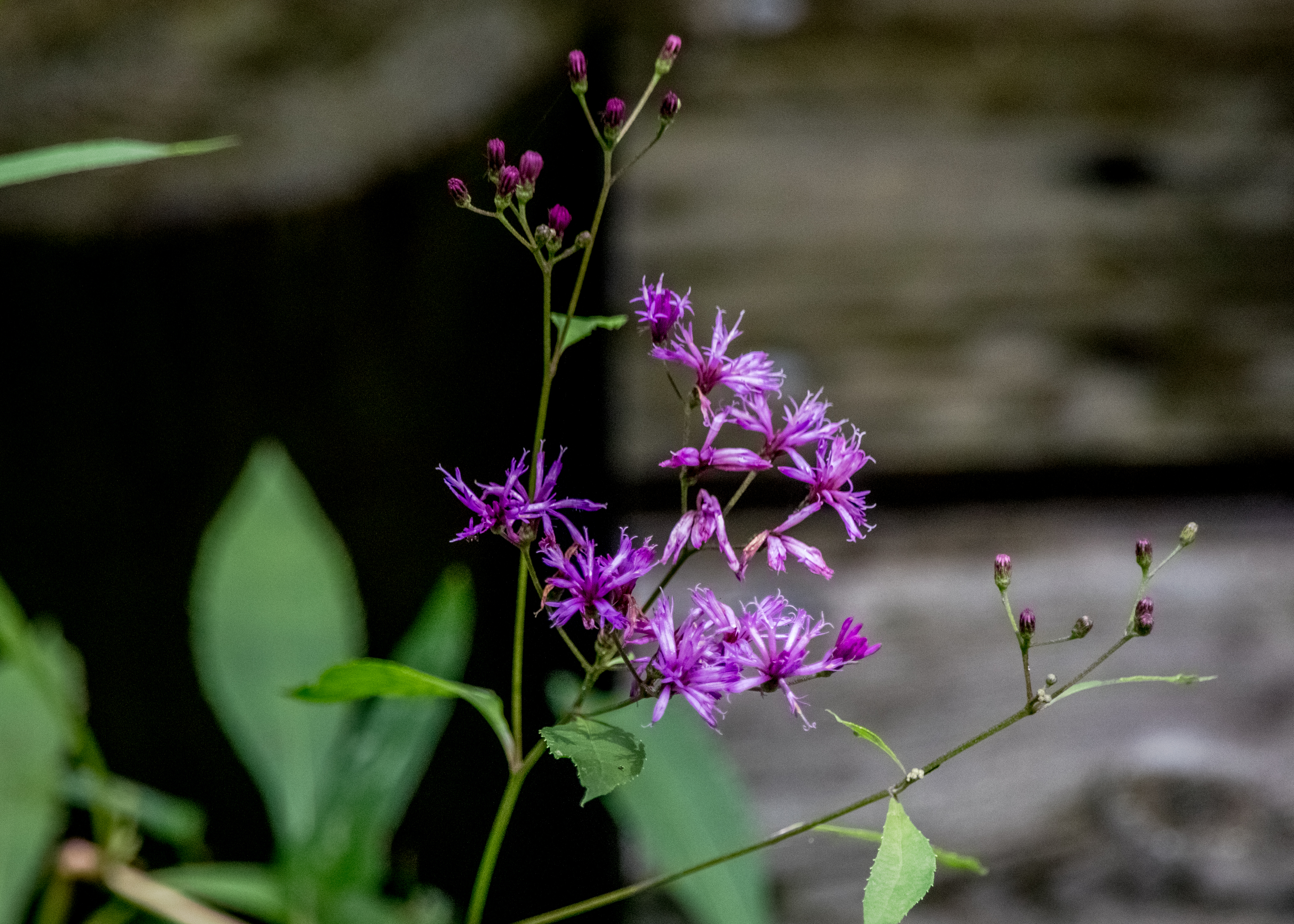
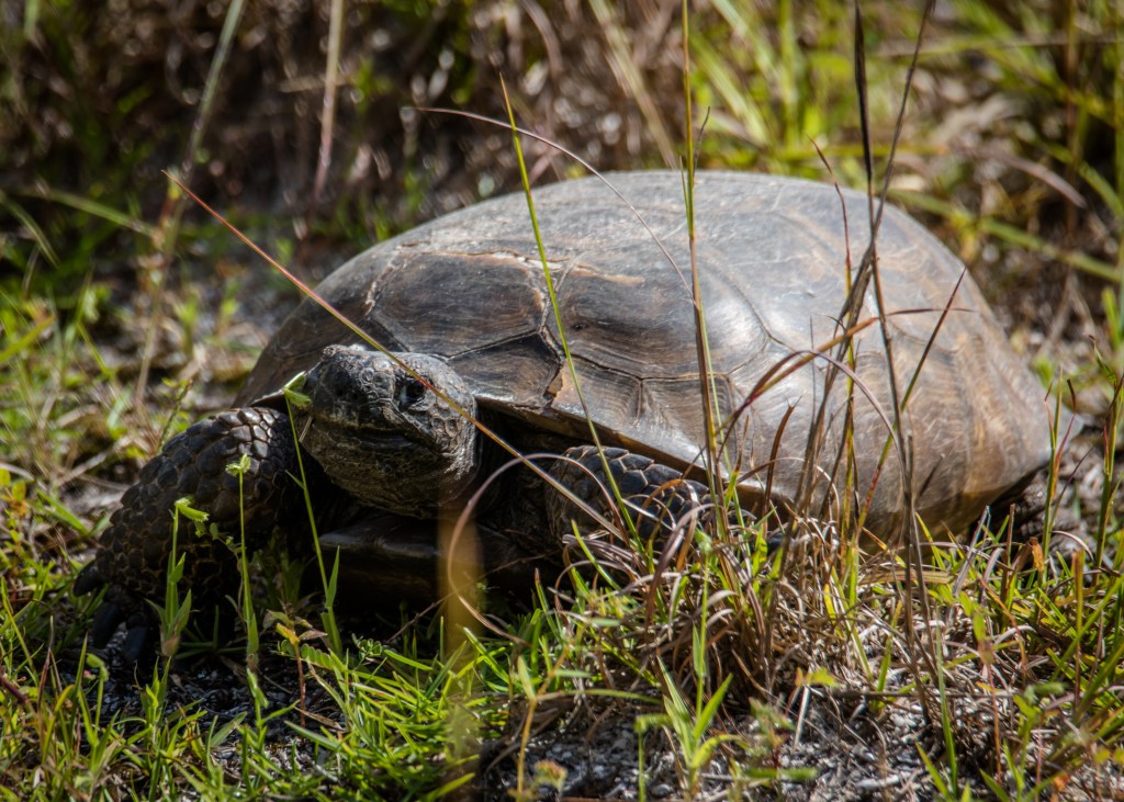
Hot weather – who cares – these walks in the woods provided a little diversion and exercise.
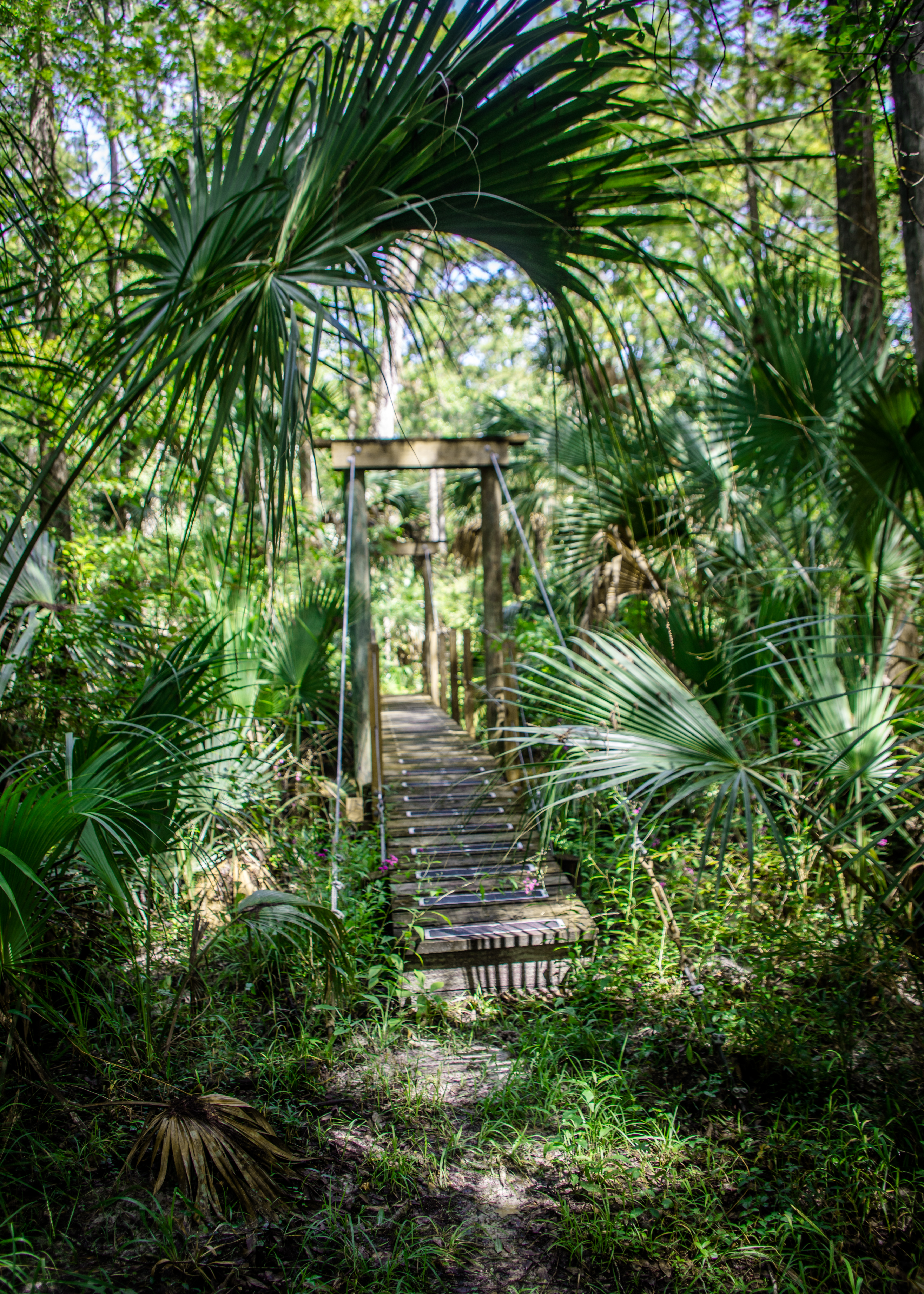
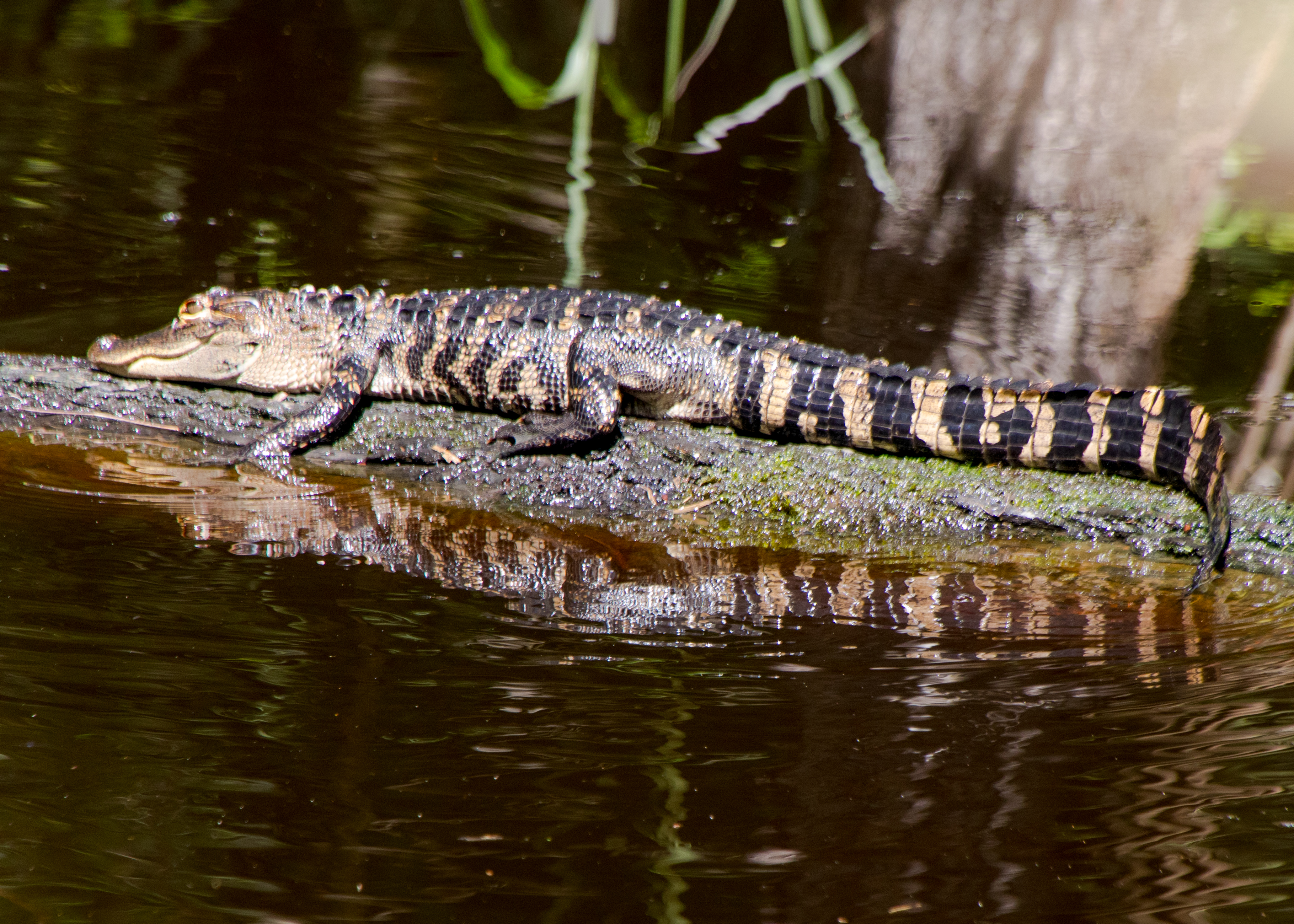
Hawes Creek Preserve – not my first time here but the 1.3-mile boardwalk and trail hike usually provide a good variety of birds to view. Not today – too hot for them.
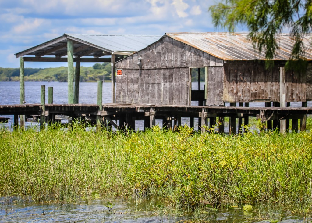
Lake Disston – stopped at a shady spot to view the lake, an old boat house and pier.
Welaka State Forest – Mud Springs trail (1.75 miles) and John’s Landing trail (4.0 miles)
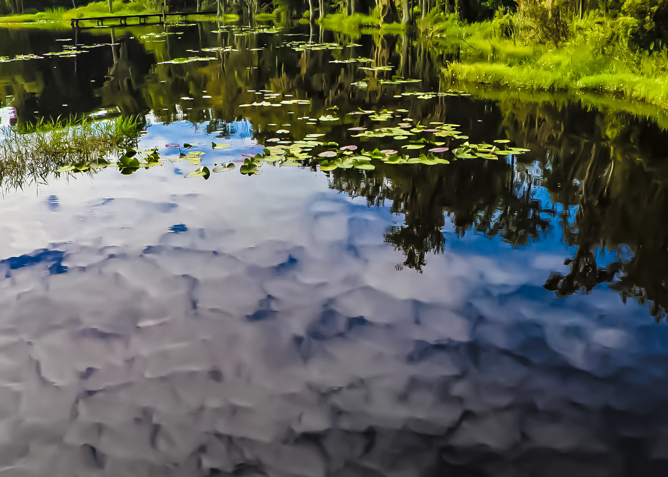
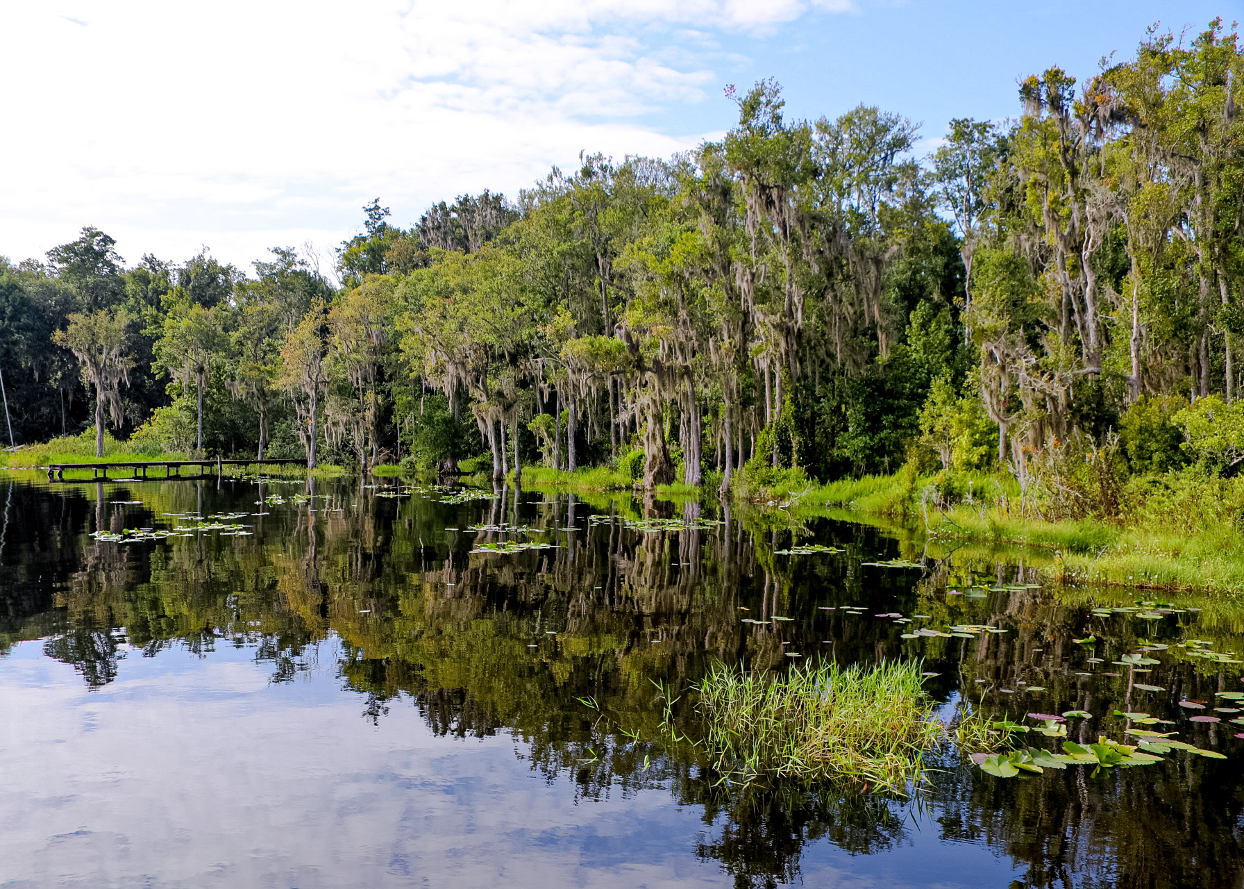
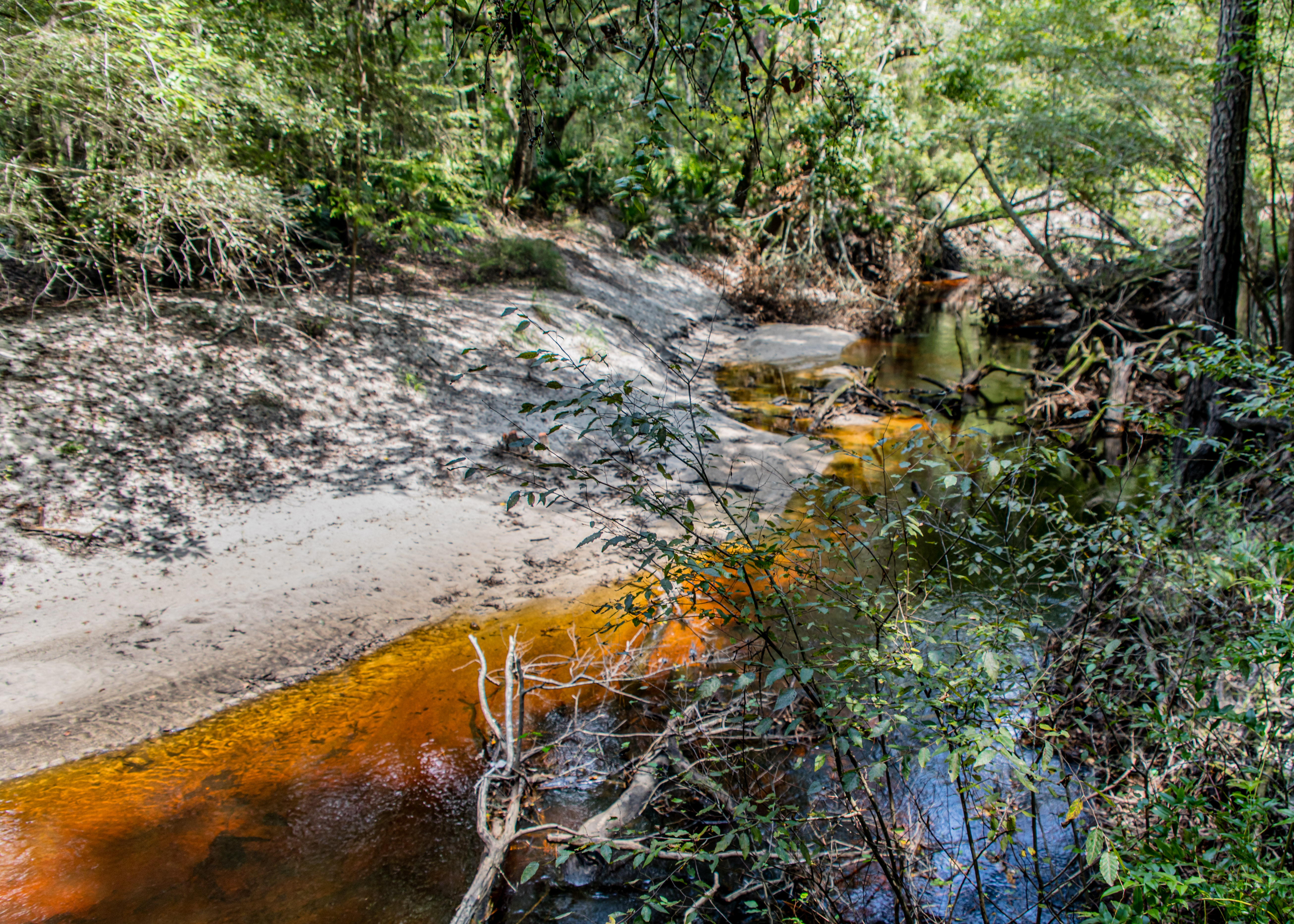
Rice Creek Conservation Area – 5.3-mile loop trail near Palatka

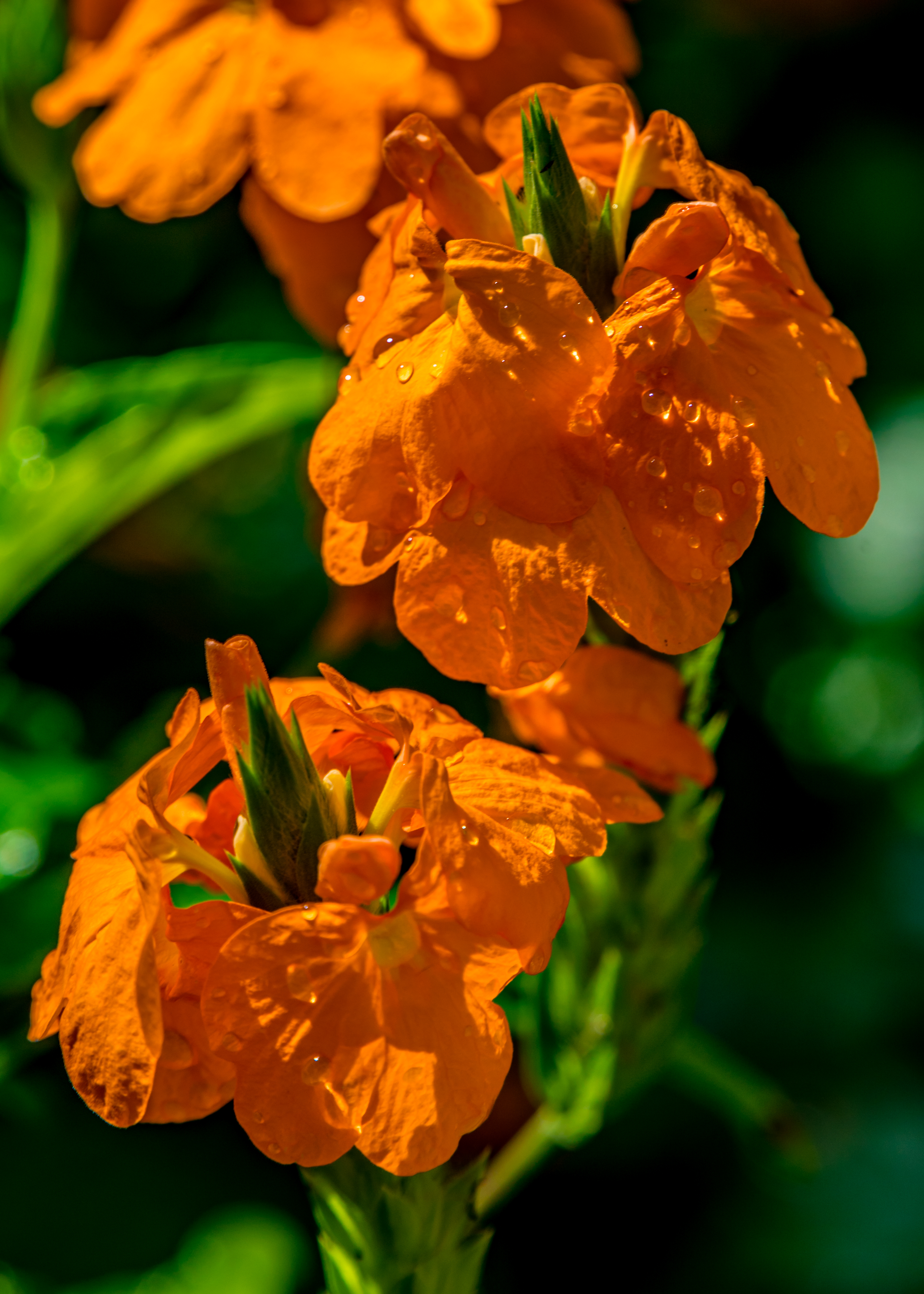
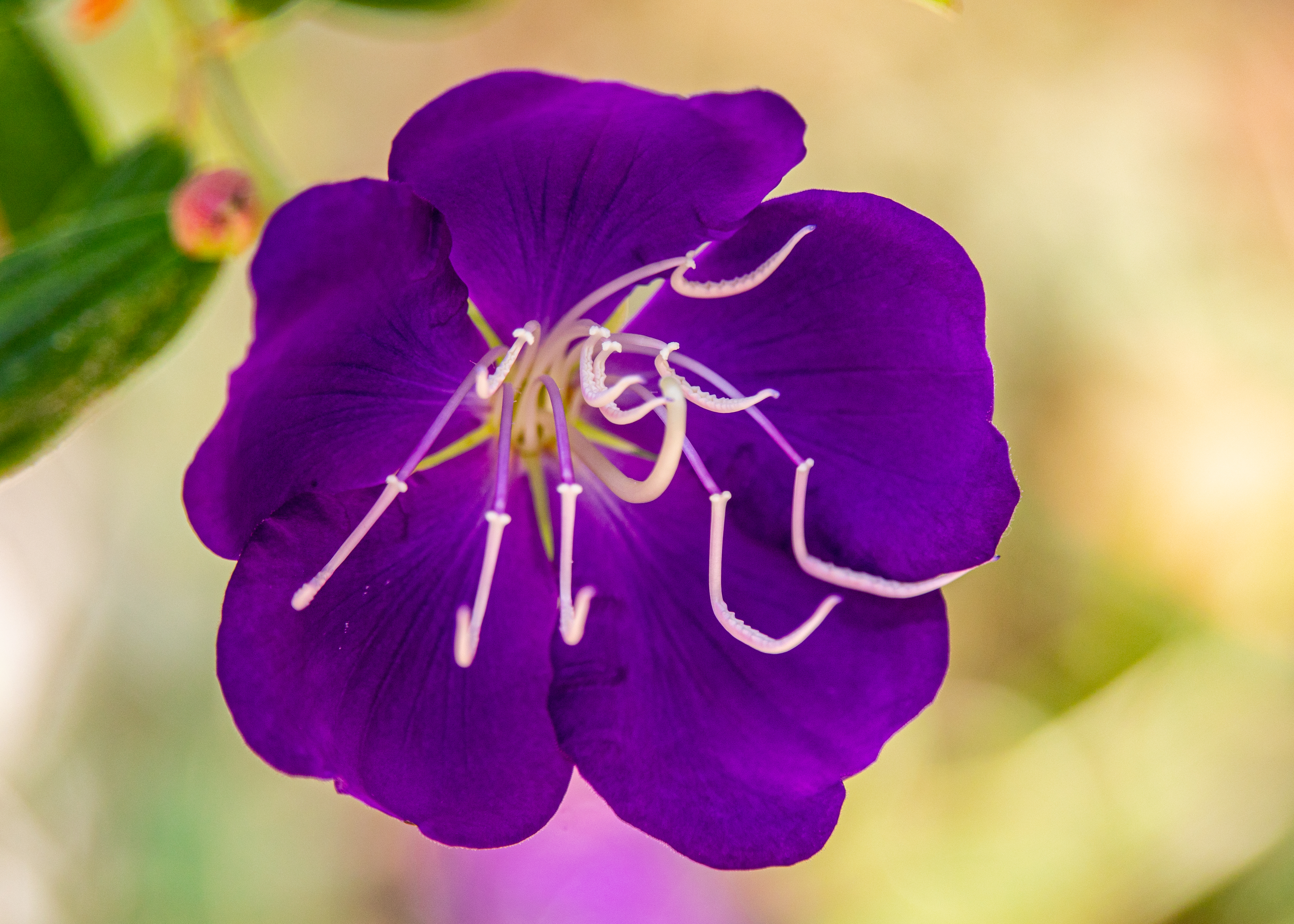
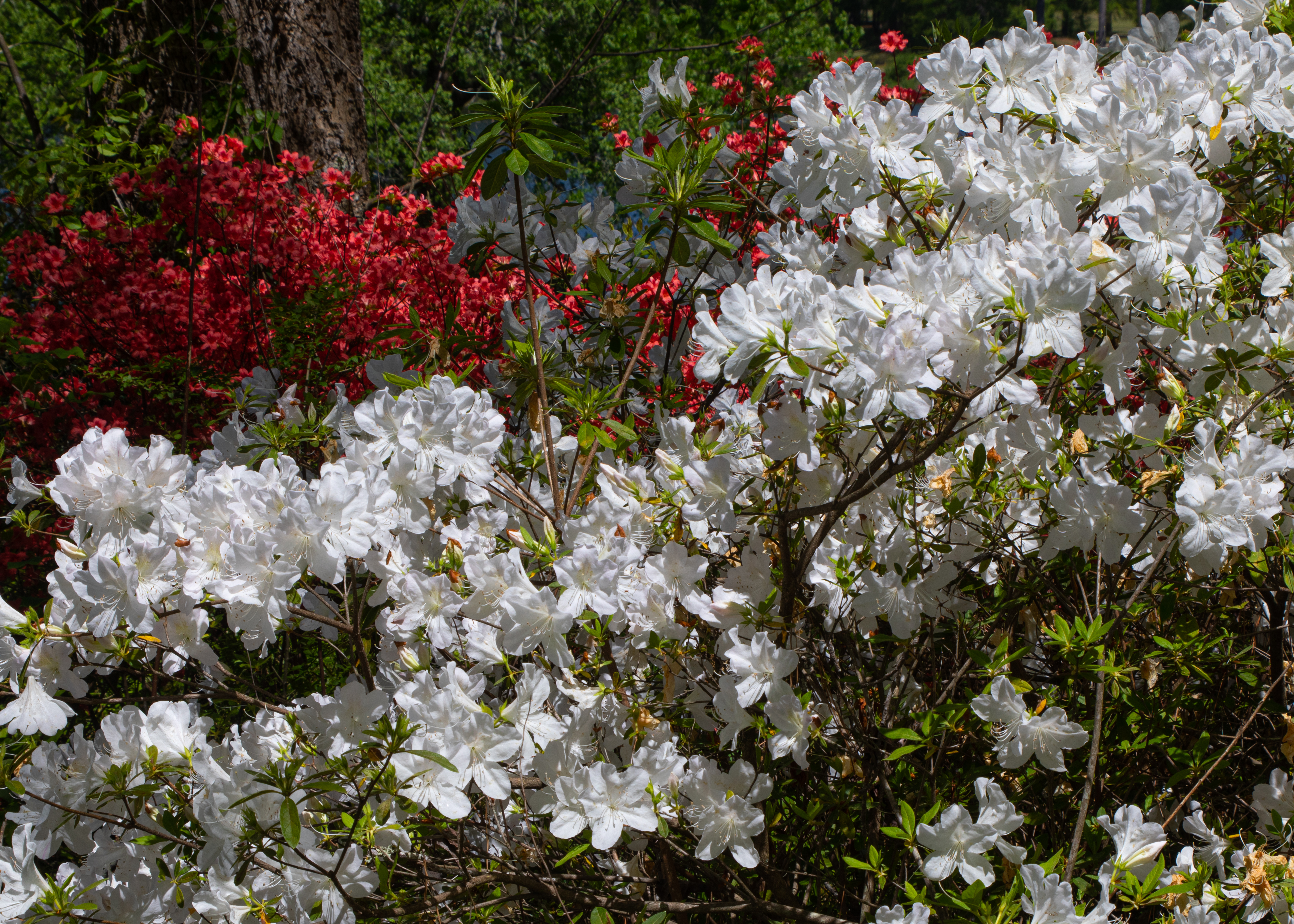
On our way to visit family in North Carolina we stopped at Callaway Gardens to see the gardens in their spring bloom. We toured the gardens on bike covering the 10-mile Discovery Bike Trail and walked several of the parks’ nine nature trails. This was our third visit to the gardens, and we enjoyed this season as well as the fall and winter visits. (https://www.callawaygardens.com/the-gardens/)


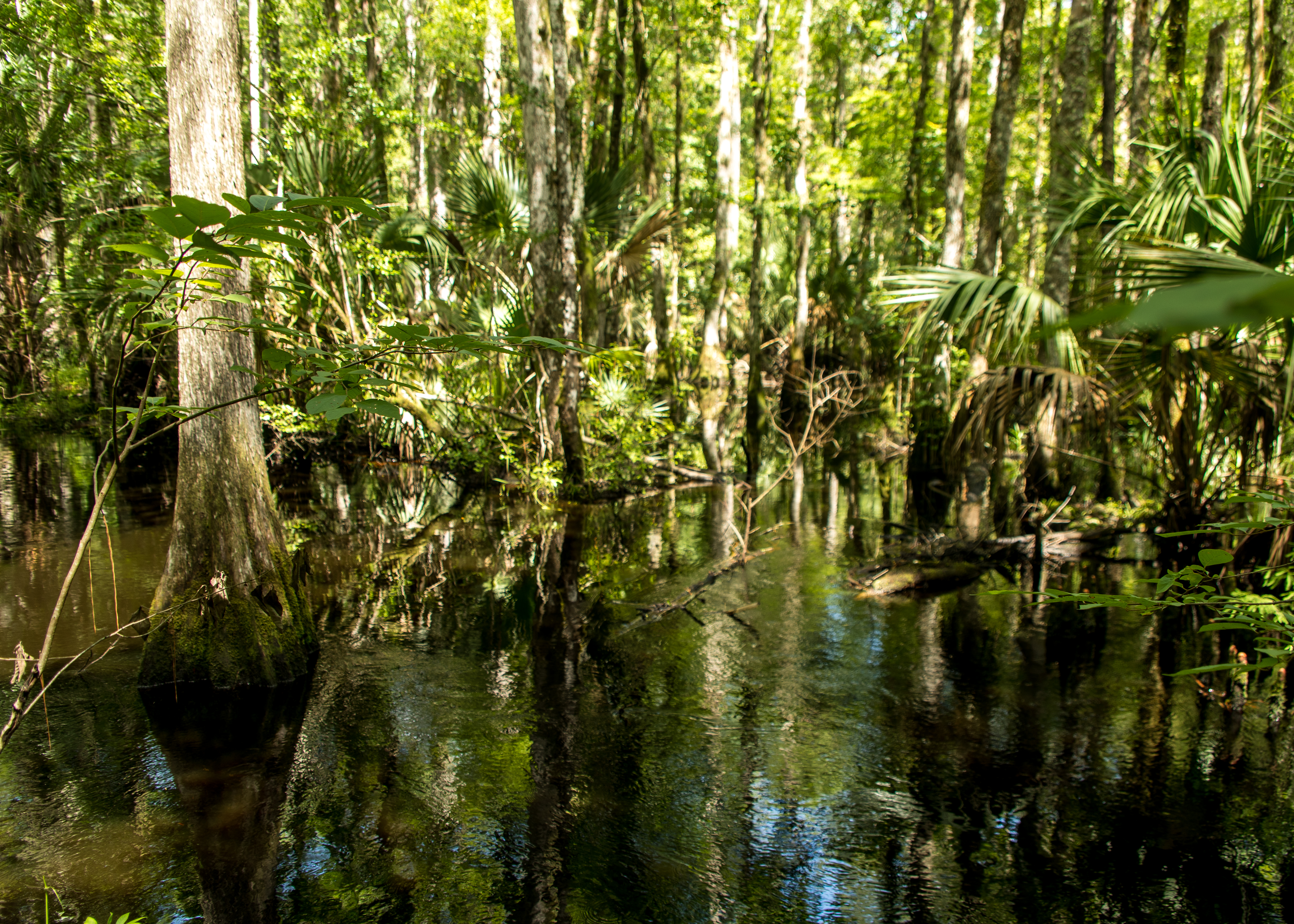
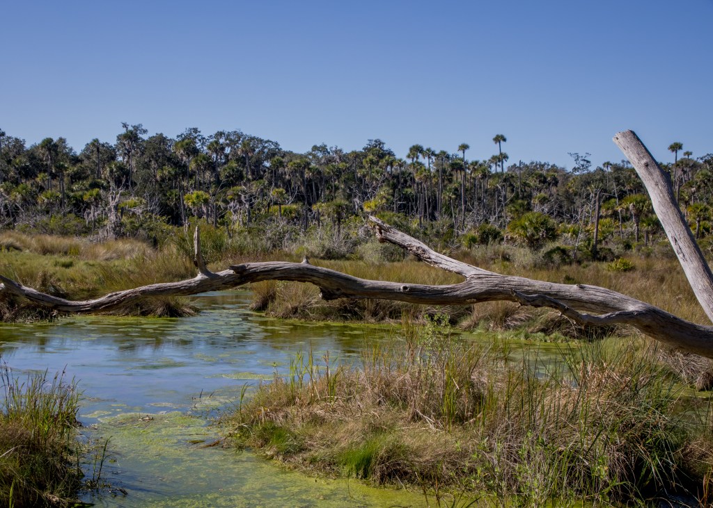
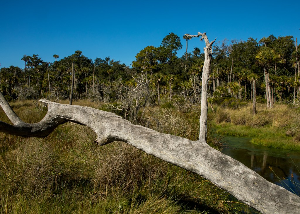
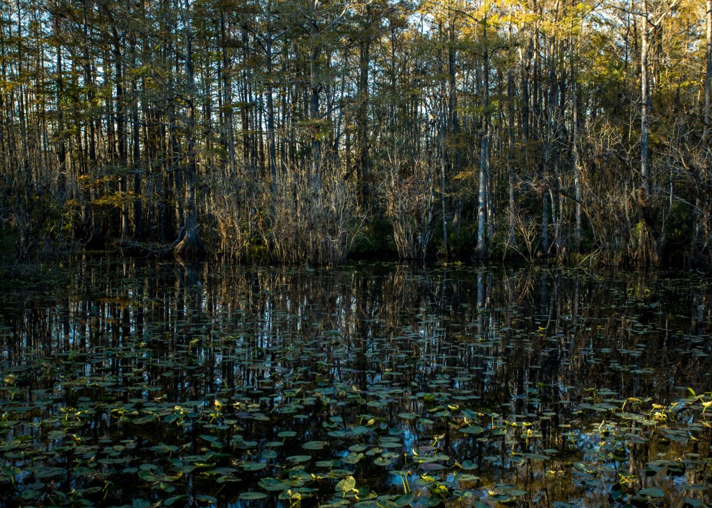
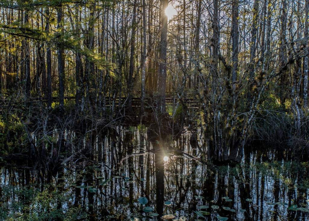
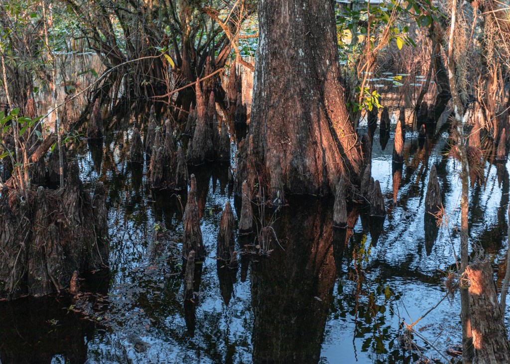
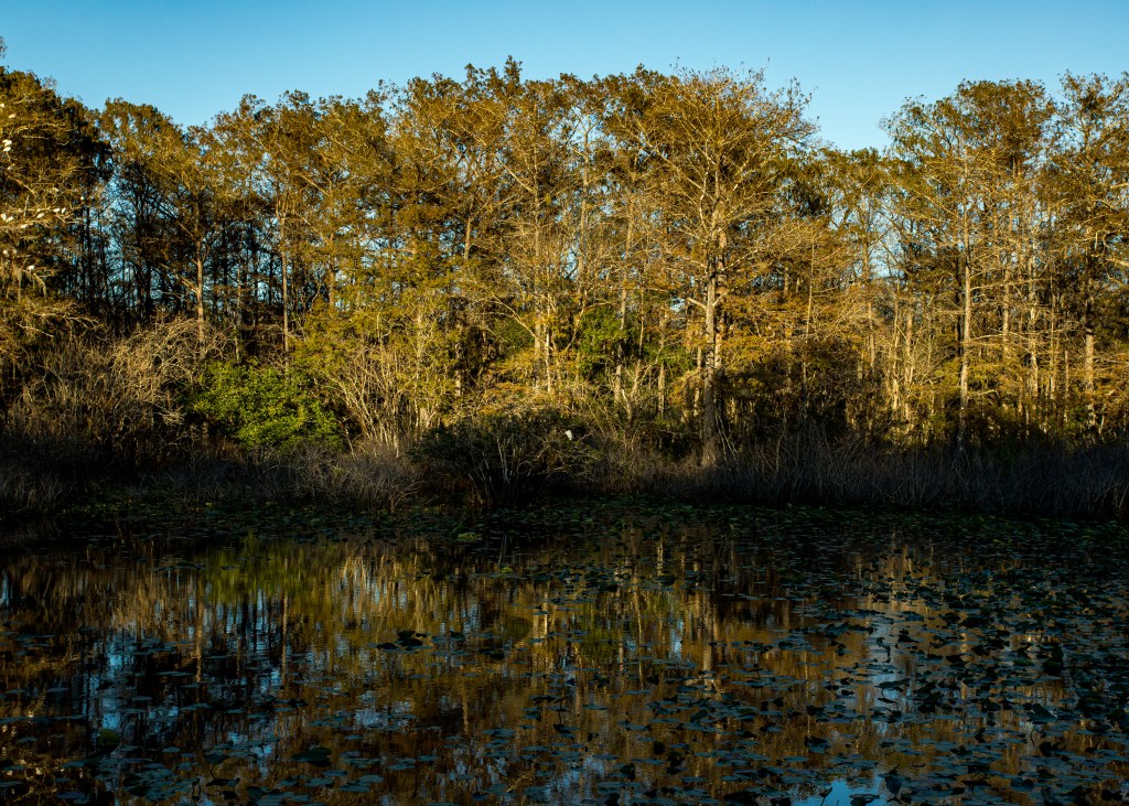
We took two half days to hike the linear 13.6-mile Bulow Woods Trail. The trail connects the south edge of Bulow Plantation Ruins State Park with the parking area at the Fairchild Oak in Bulow Creek State Park. The highlight of Bulow Creek is one of the largest remaining stands of southern live oak forest along Florida’s east coast.
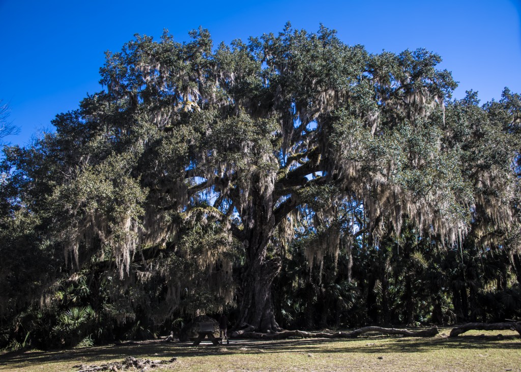
The reigning tree is the Fairchild Oak, one of the largest live oak trees in the South. For more than 400 years it has been a silent witness to human activities along Bulow Creek, including the destruction of the neighboring Bulow Plantation (detailed in a post several years ago) during the Second Seminole War in 1836. Bulow Creek protects nearly 5,600 acres, more than 1,500 of which are submerged lands which makes the trail swampy in spots.
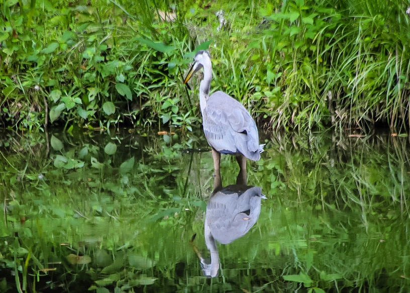
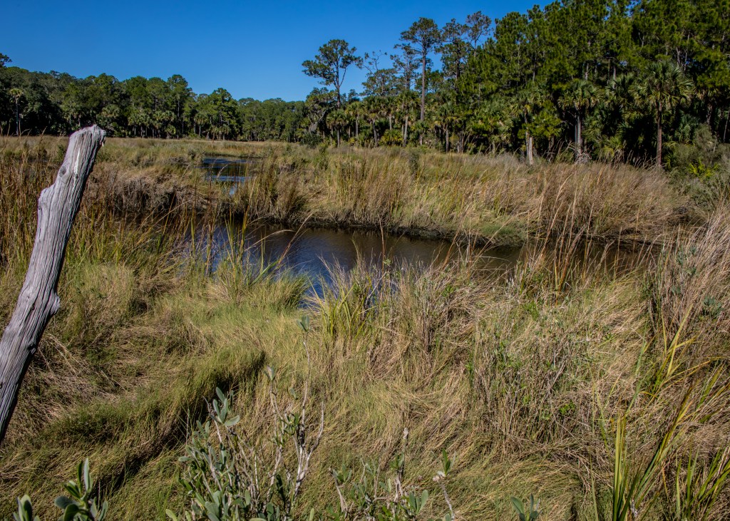
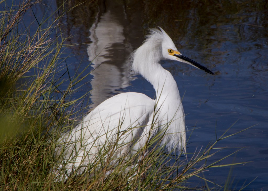
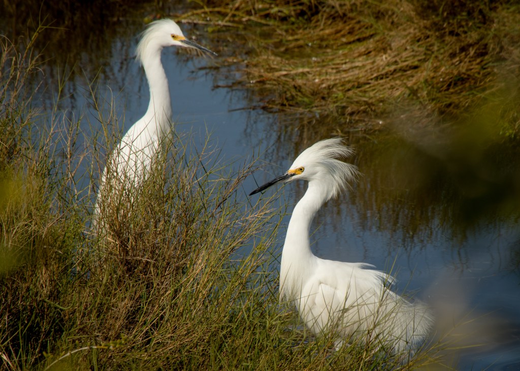
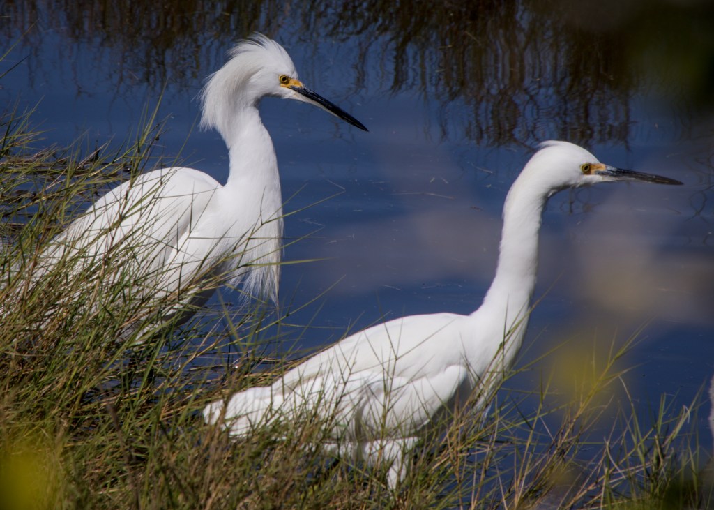
Boardman Pond is a highlight along the trail as a habitat for several bird species.
Prior to starting our hike, we stopped to see the remains of the Dummett Mill Ruins one of eleven known plantation sites located in the park. Most produced rice, cotton, sugar cane and indigo – Dummett specialized in rum.

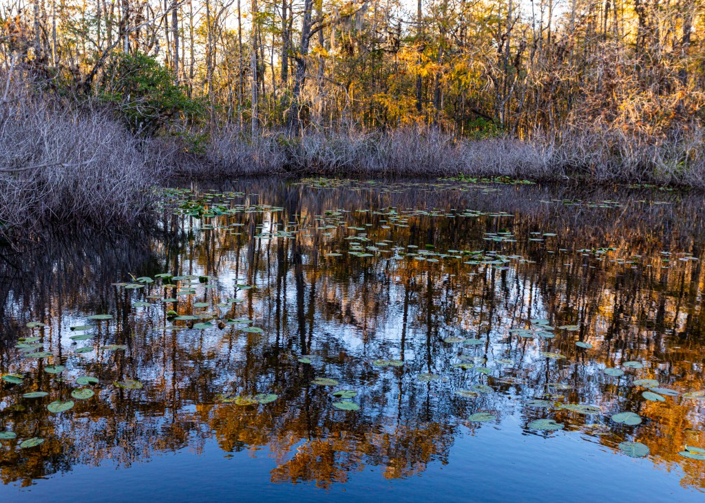
A little behind in posting. The following are highlights of several hiking trips and wildlife refuges that we visited.
Betty Steflik Memorial Preserve
Not the first time here but always a pleasant walk along a boardwalk along the intercoastal in Flagler Beach. https://www.visitflagler.com/listing/betty-steflik-memorial-preserve/270242/

6 Mile Slough Preserve
3400 acres of wetlands near Ft Meyers that runs about 11 miles and only a third of a mile wide – with several boardwalk loops. http://www.sloughpreserve.org
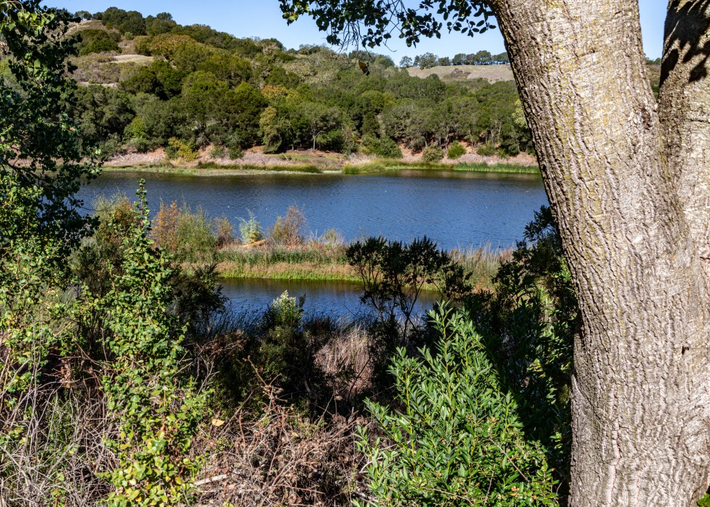
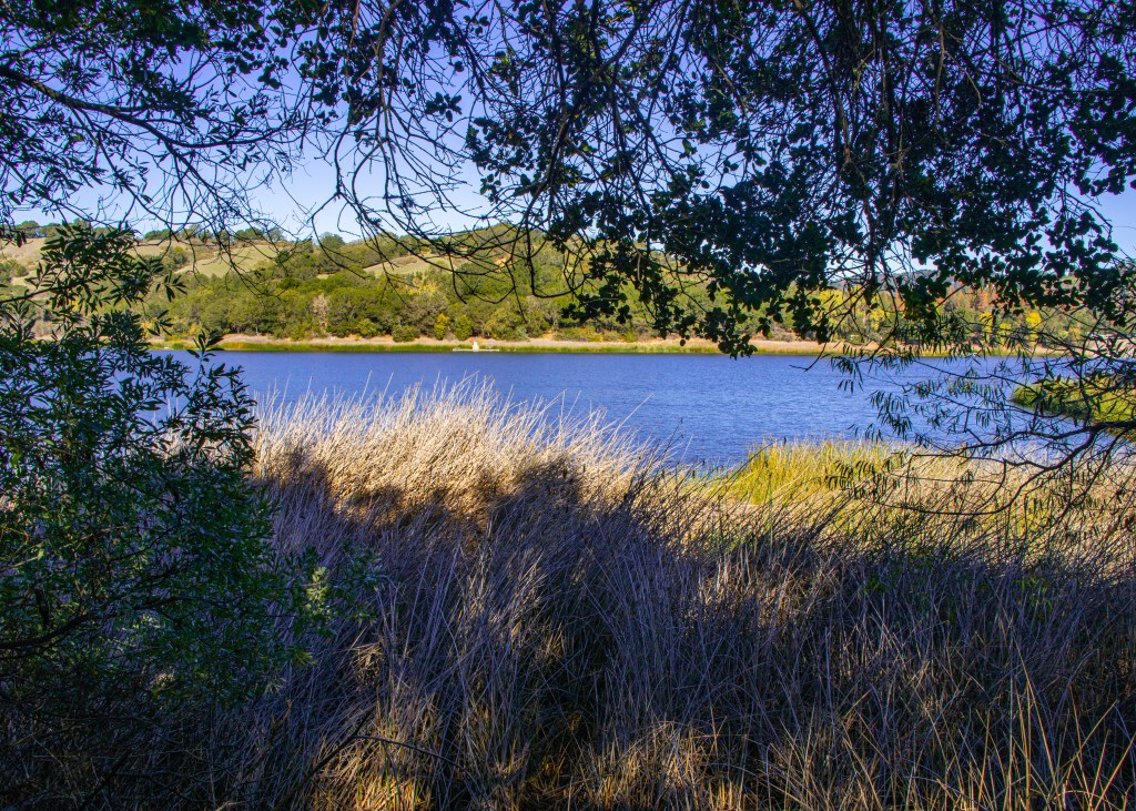
Lafayette Reservoir
An easy 2.5+ mile path around the reservoir – a fun morning with the grand kids. http://www.ebmud.com/recreation/east-bay/lafayette-reservoir/
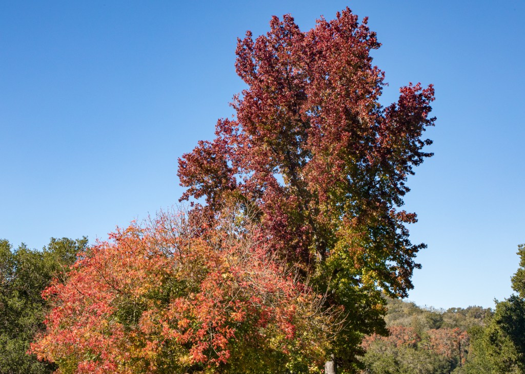
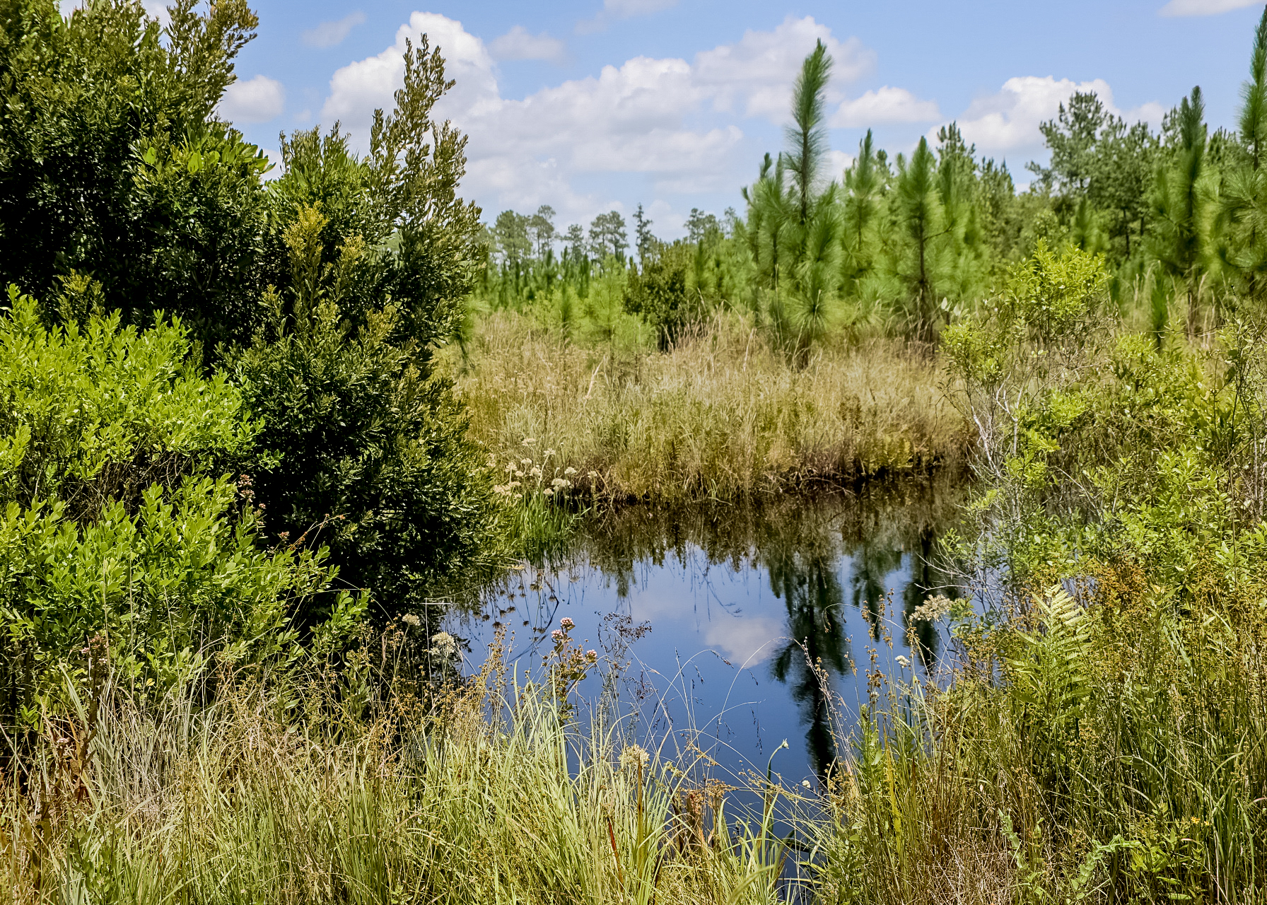
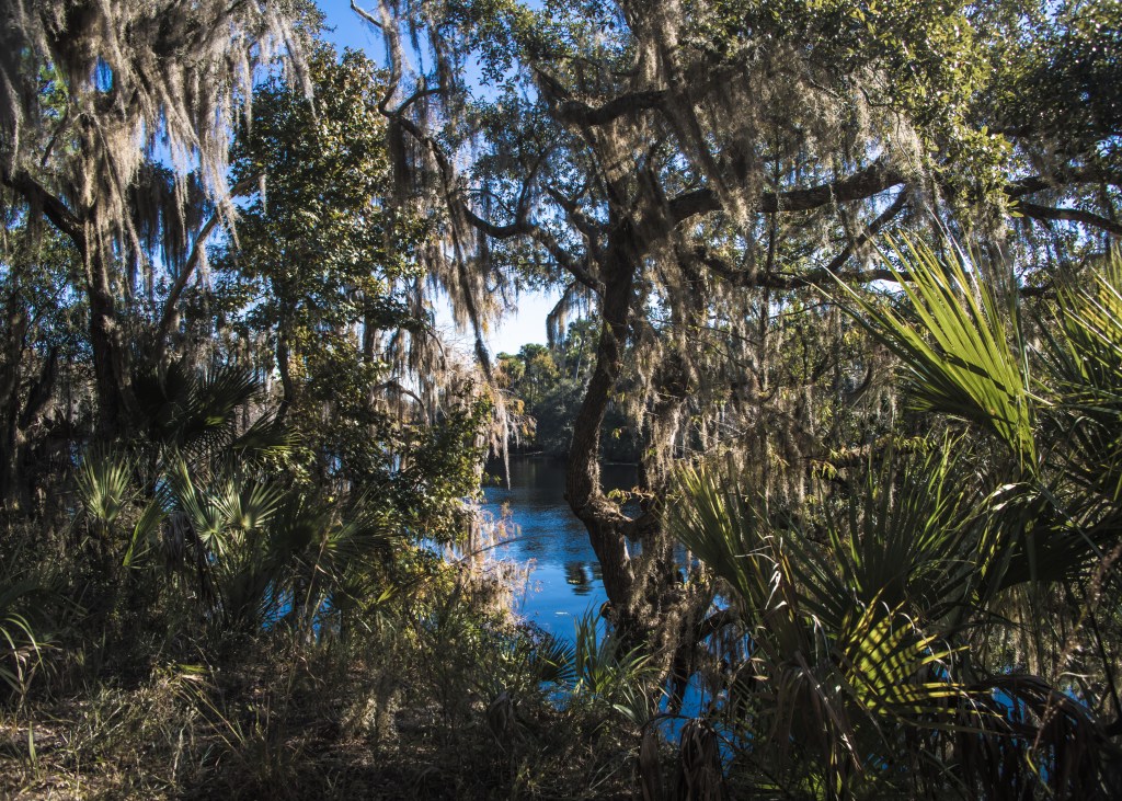
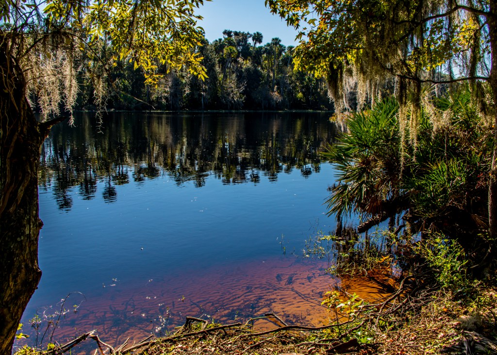
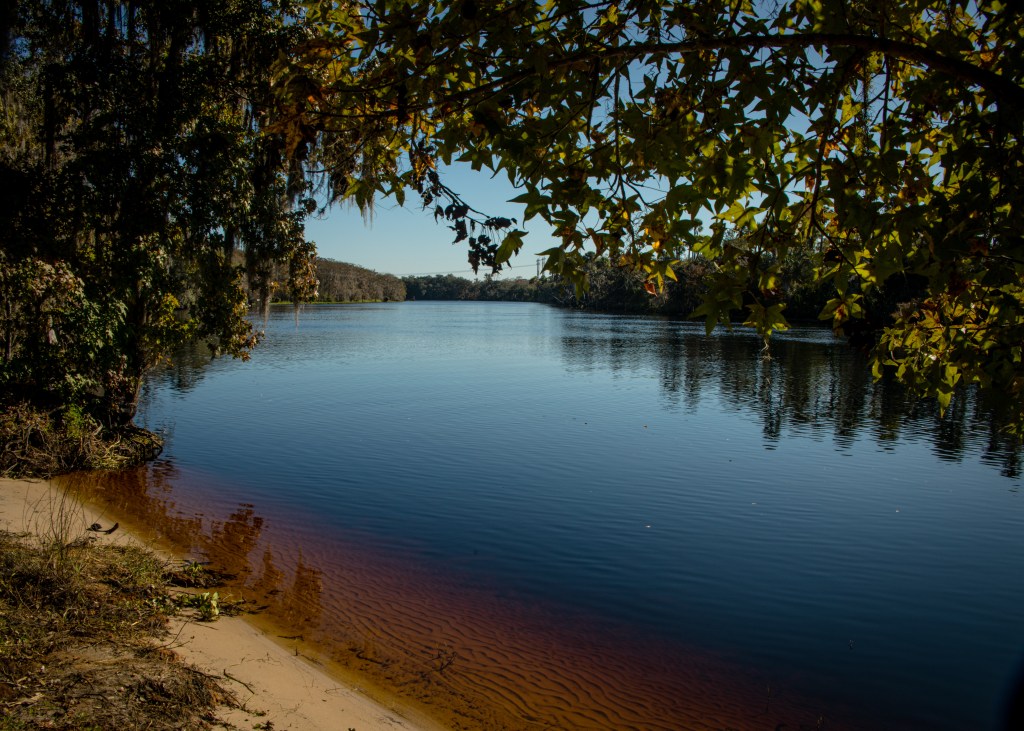
Silver Springs Forest Conservation Area
The tract includes 378 acres of wetlands along two creeks. The property provides a buffer where forests capture rainwater to recharge the aquifer and augment the flow of nearby Silver Springs. www.sjrwmd.com/lands/recreation/silver-springs/
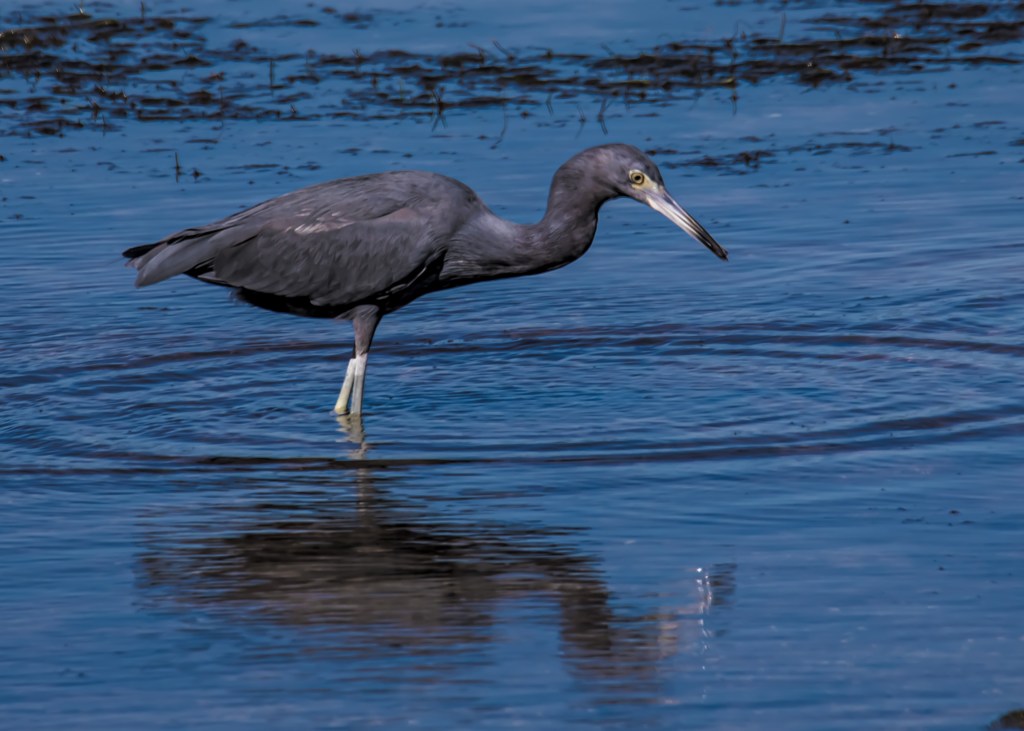
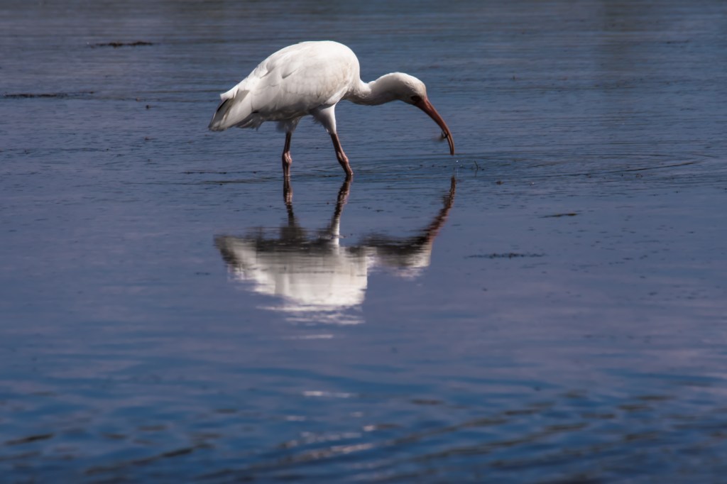
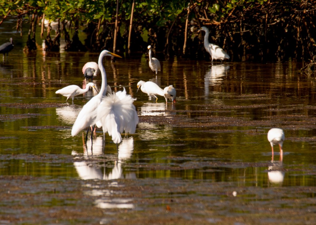
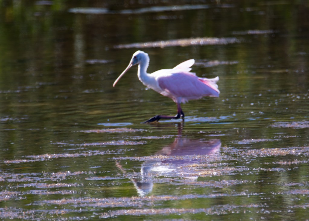
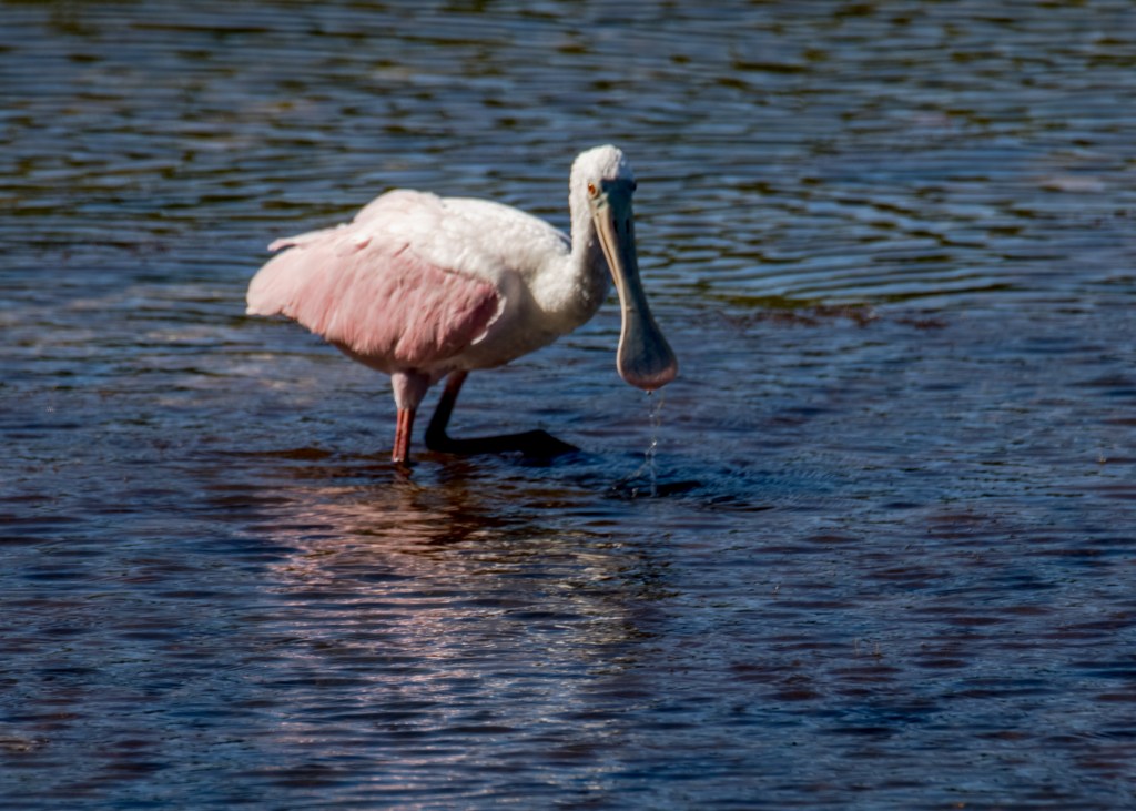
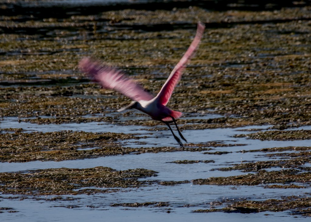
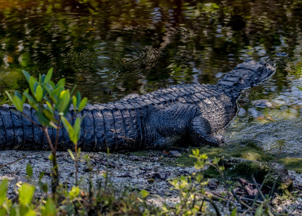
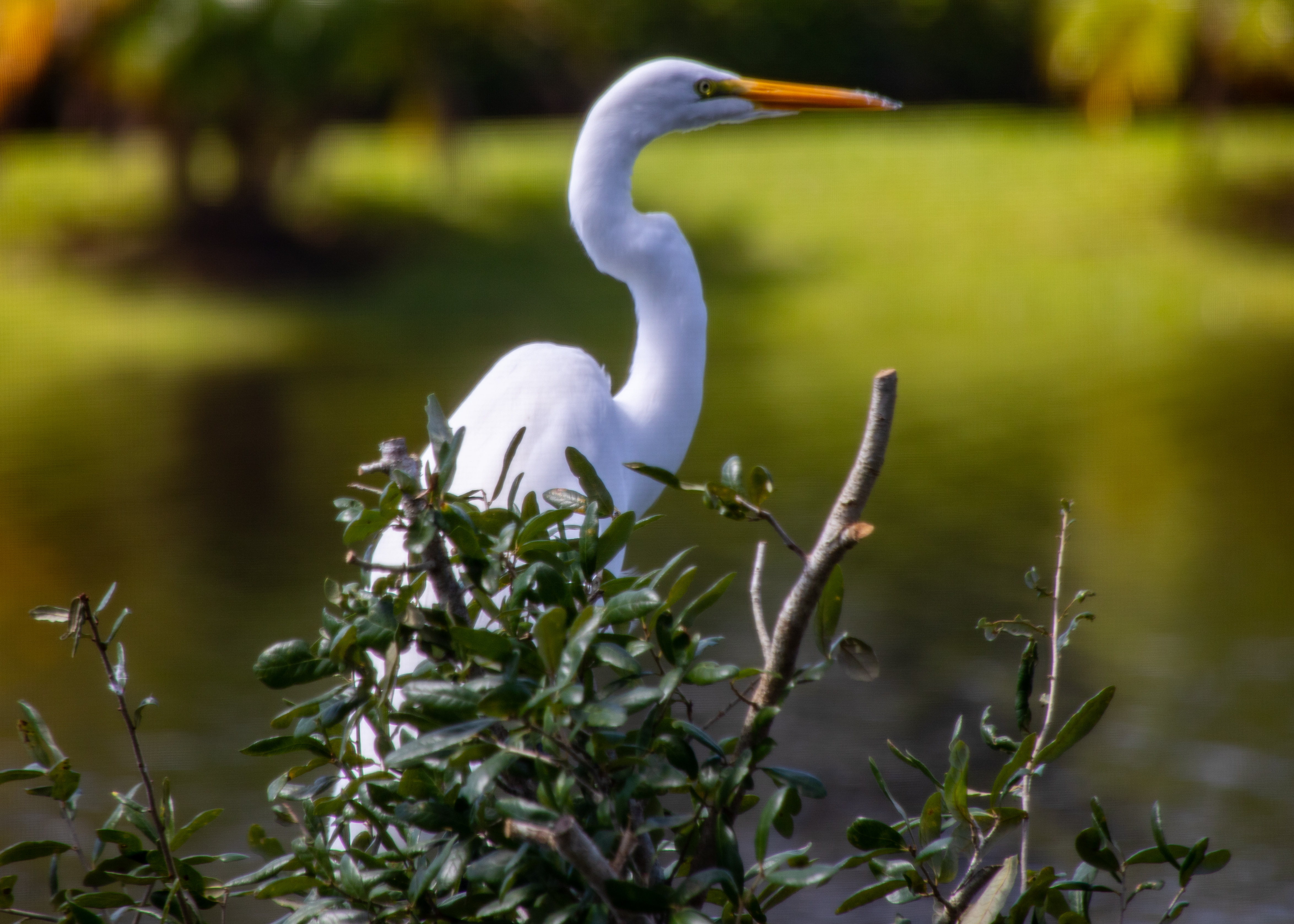
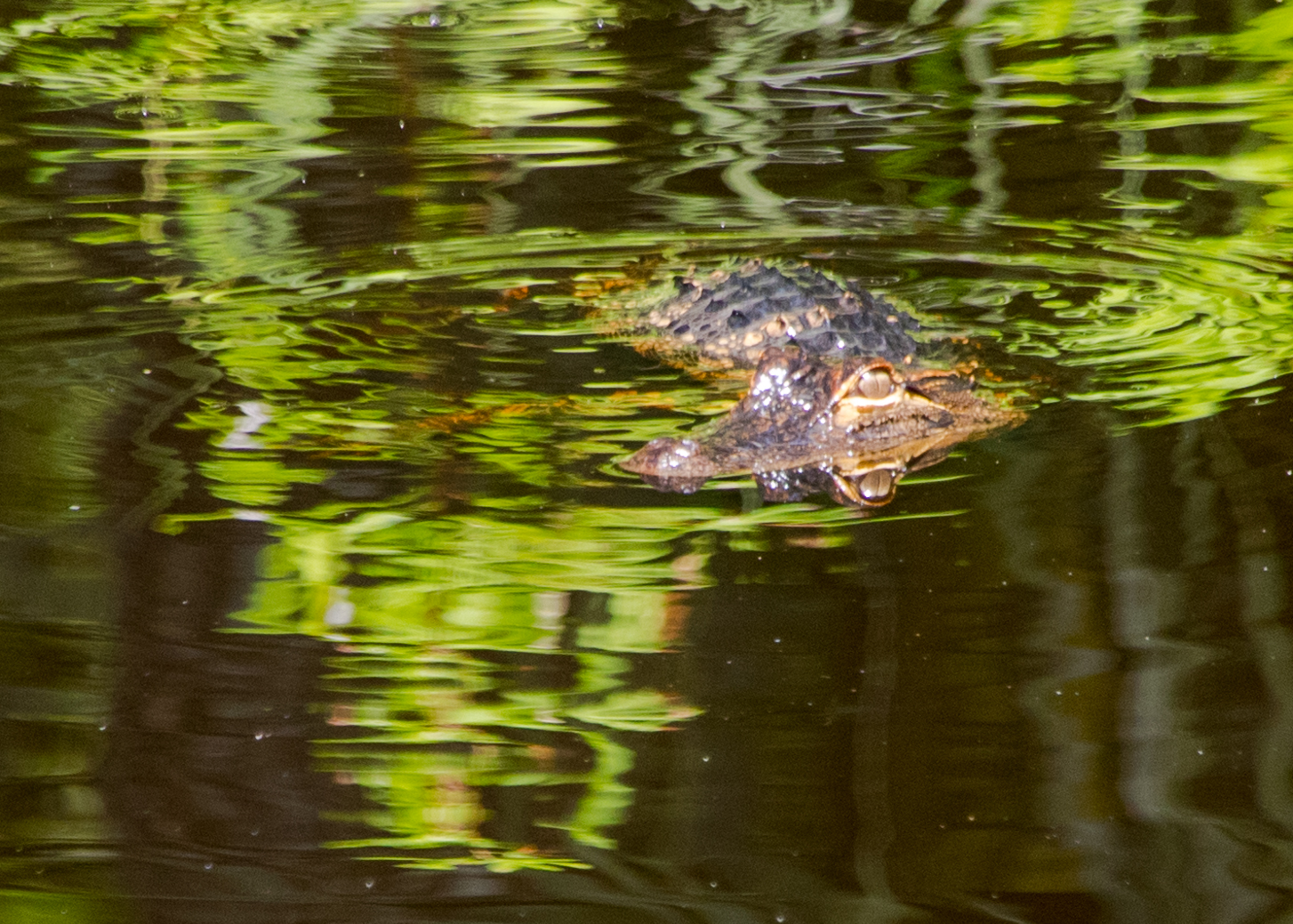
J.N. “Ding” Darling National Wildlife Refuge
The J.N. “Ding” Darling National Wildlife Refuge is located on the subtropical barrier island of Sanibel in the Gulf of Mexico. The refuge is part of the largest undeveloped mangrove ecosystem in the United States. It is world famous for its spectacular migratory bird populations. http://www.fws.gov/refuge/JN_Ding_Darling/