Search

Travelling Photographer

Photos and commentary from my travels around the globe

Tag

Hiking

February 2025 – A Good Hiking Month

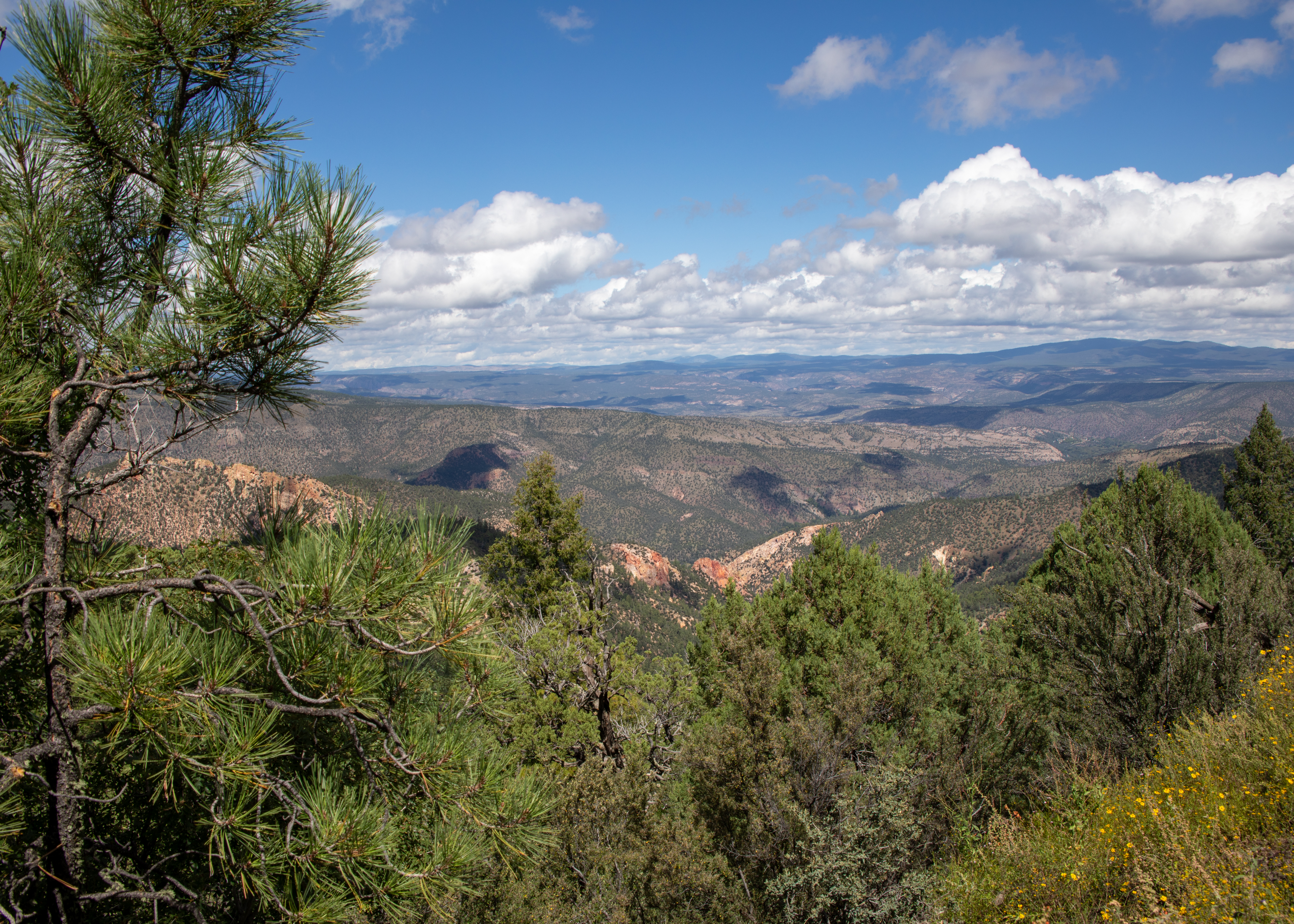
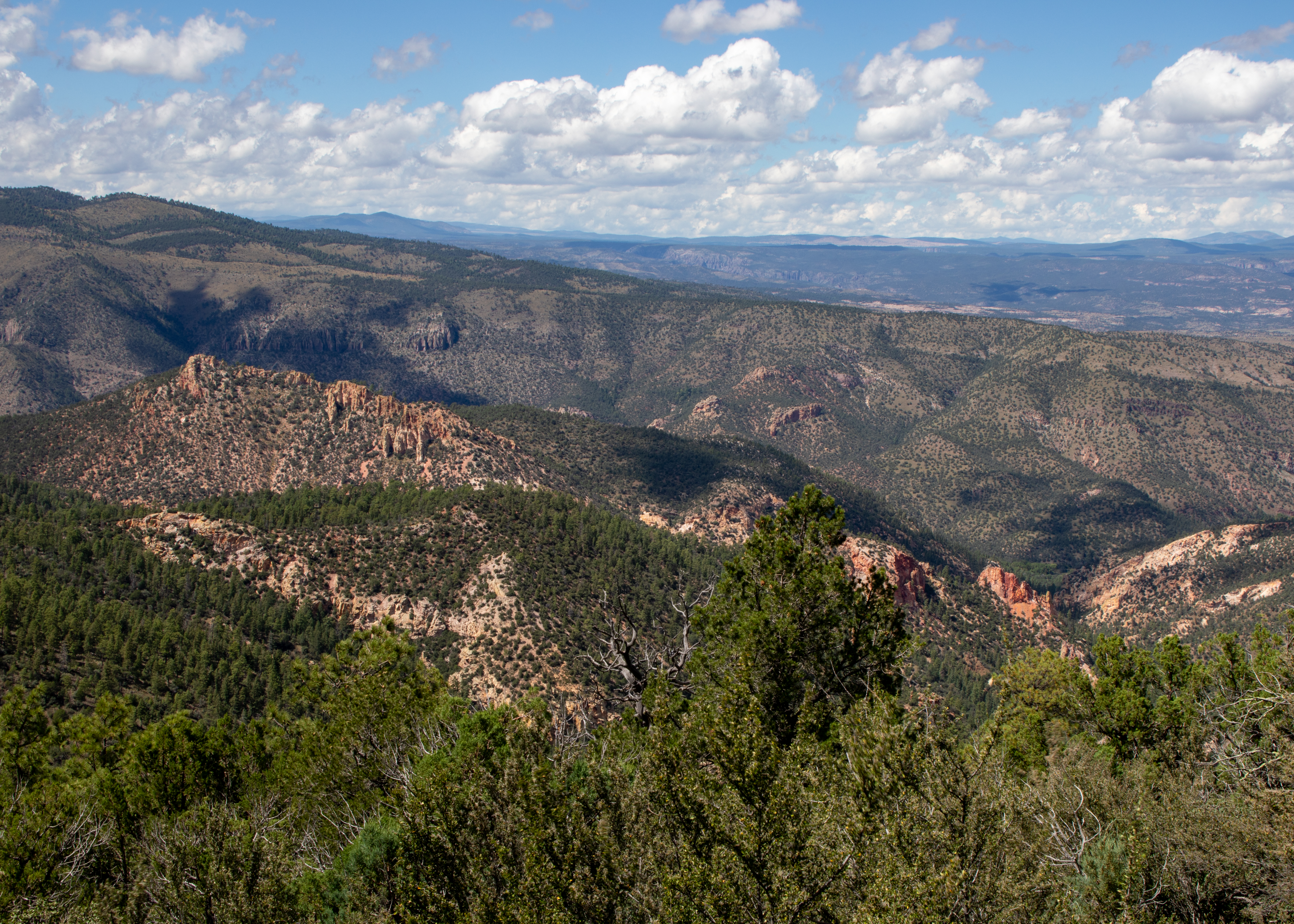
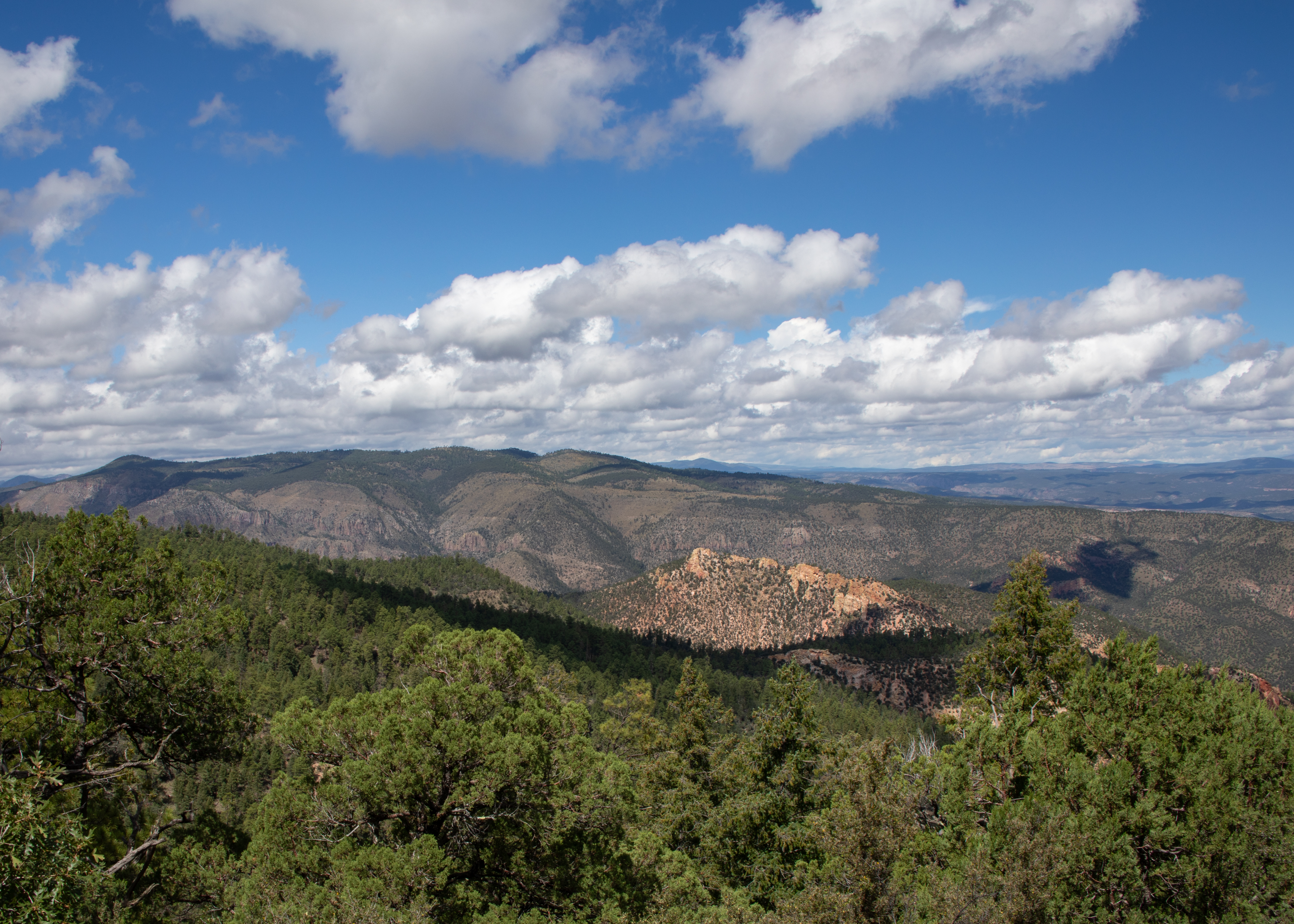
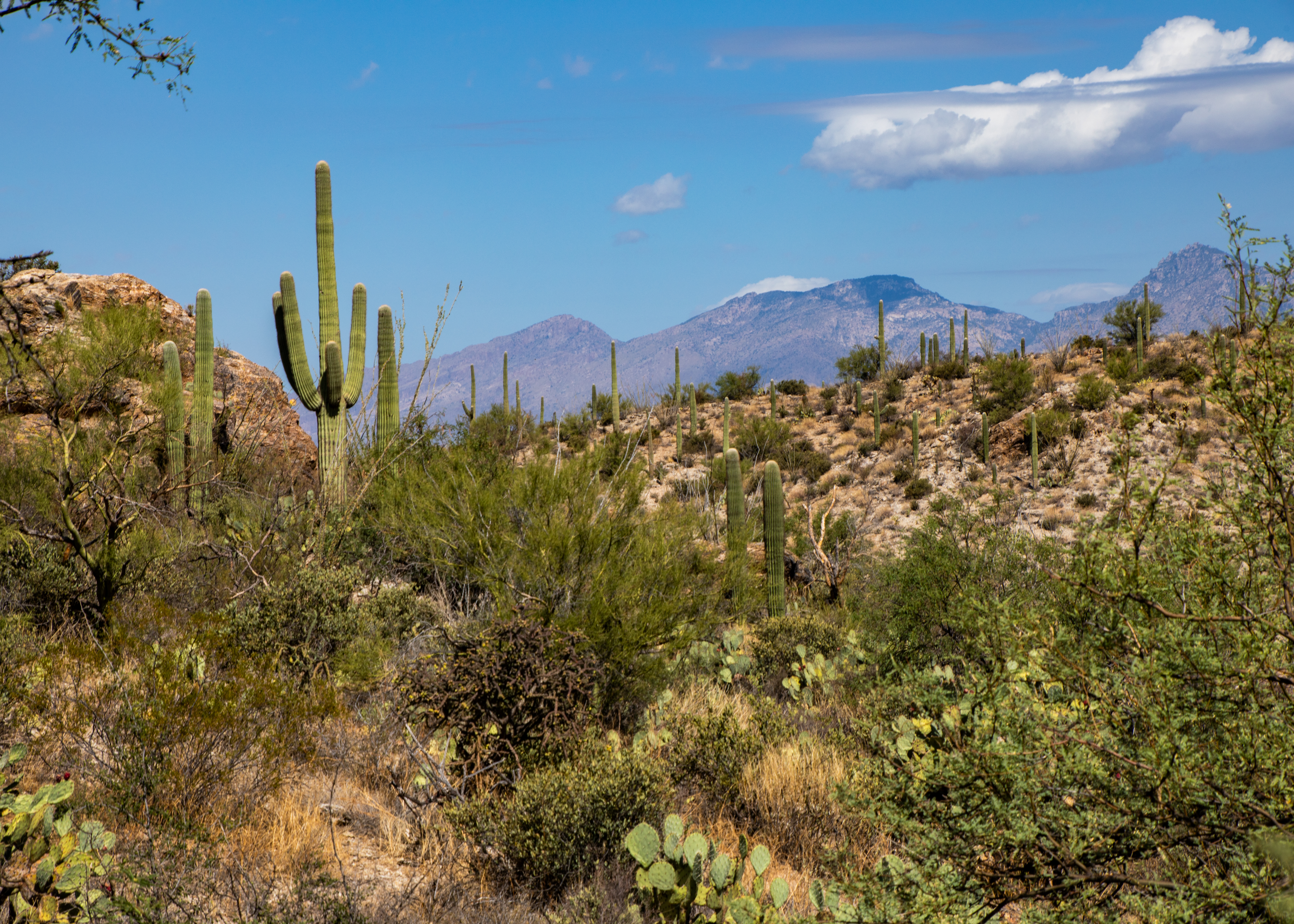
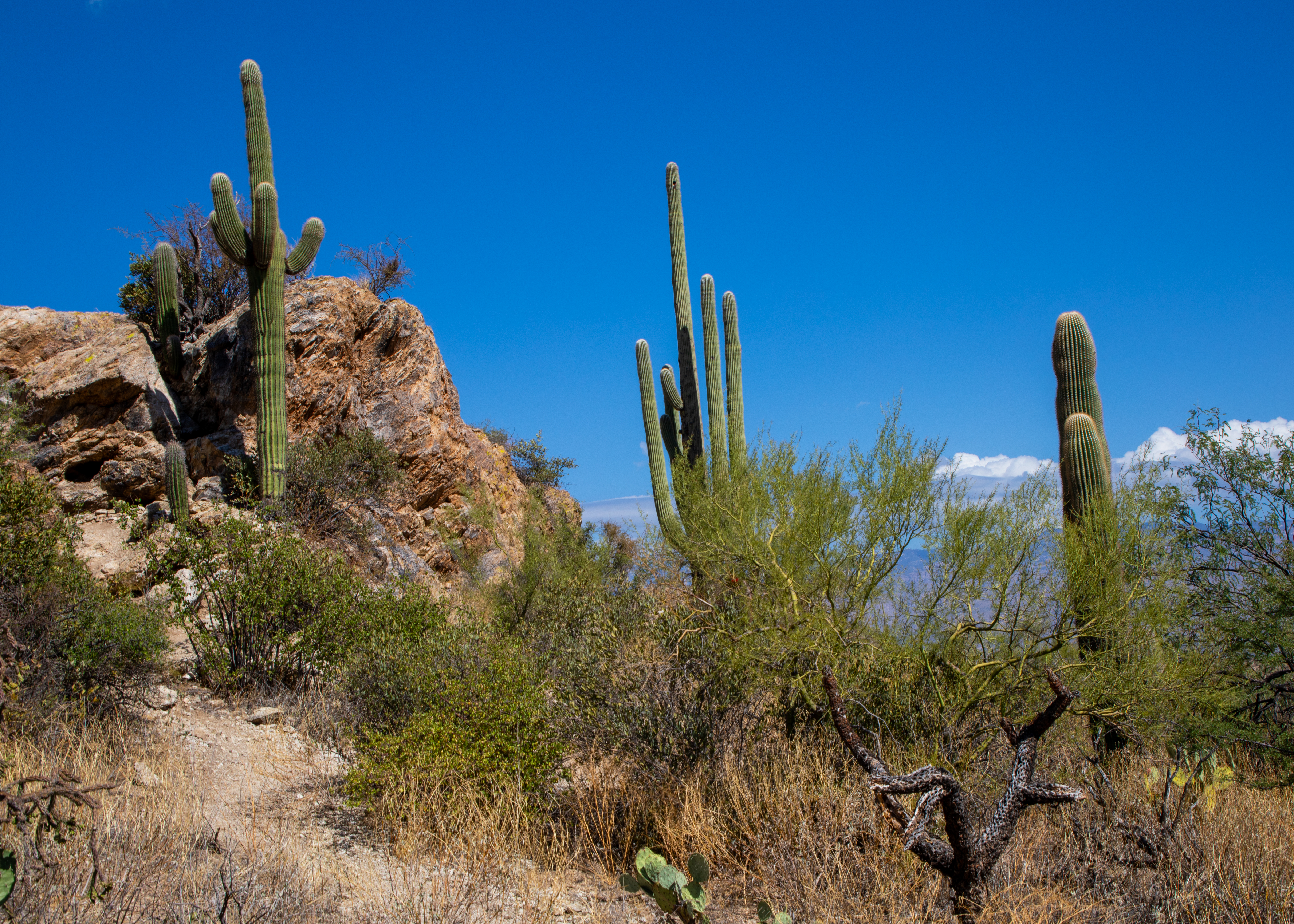
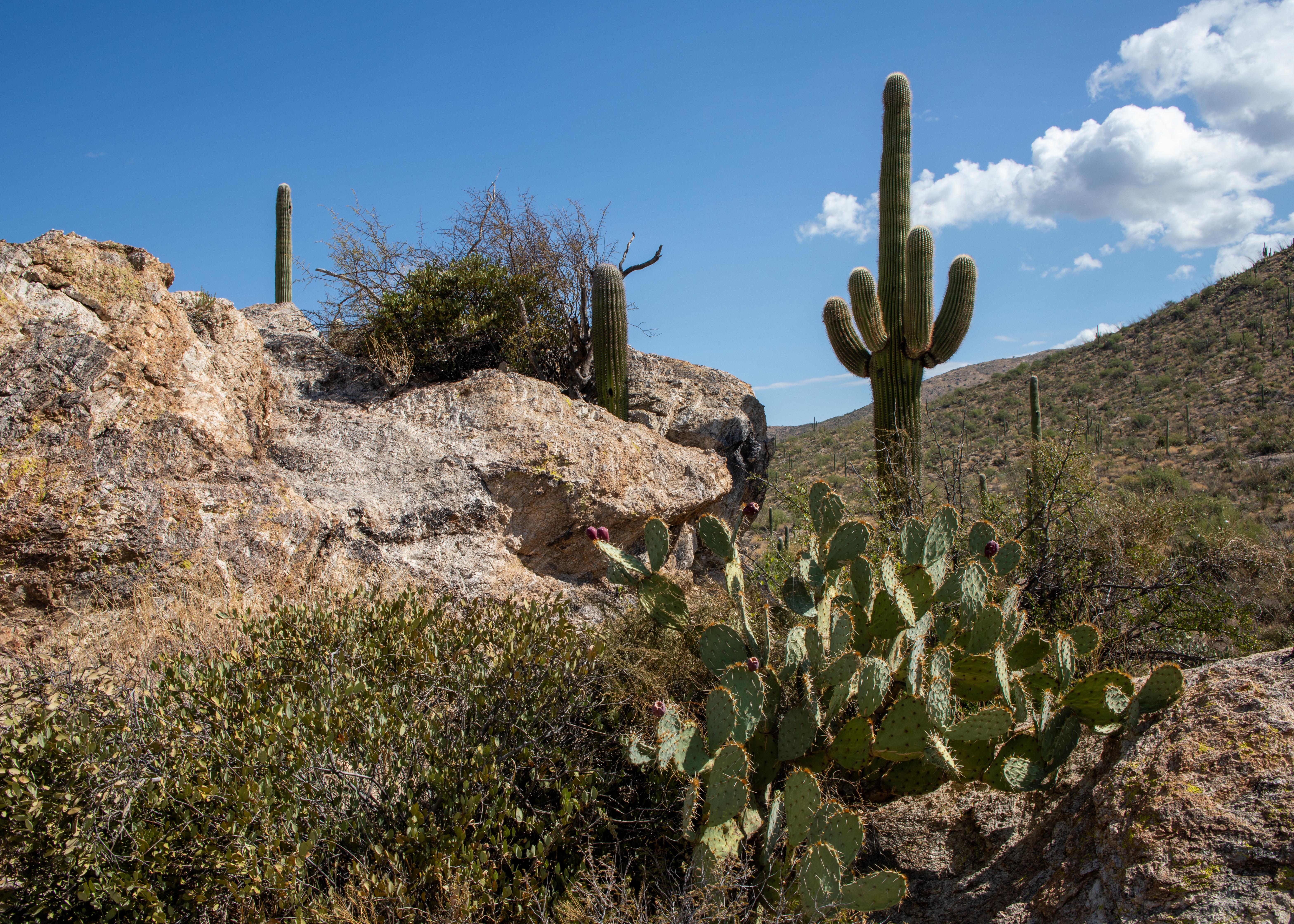
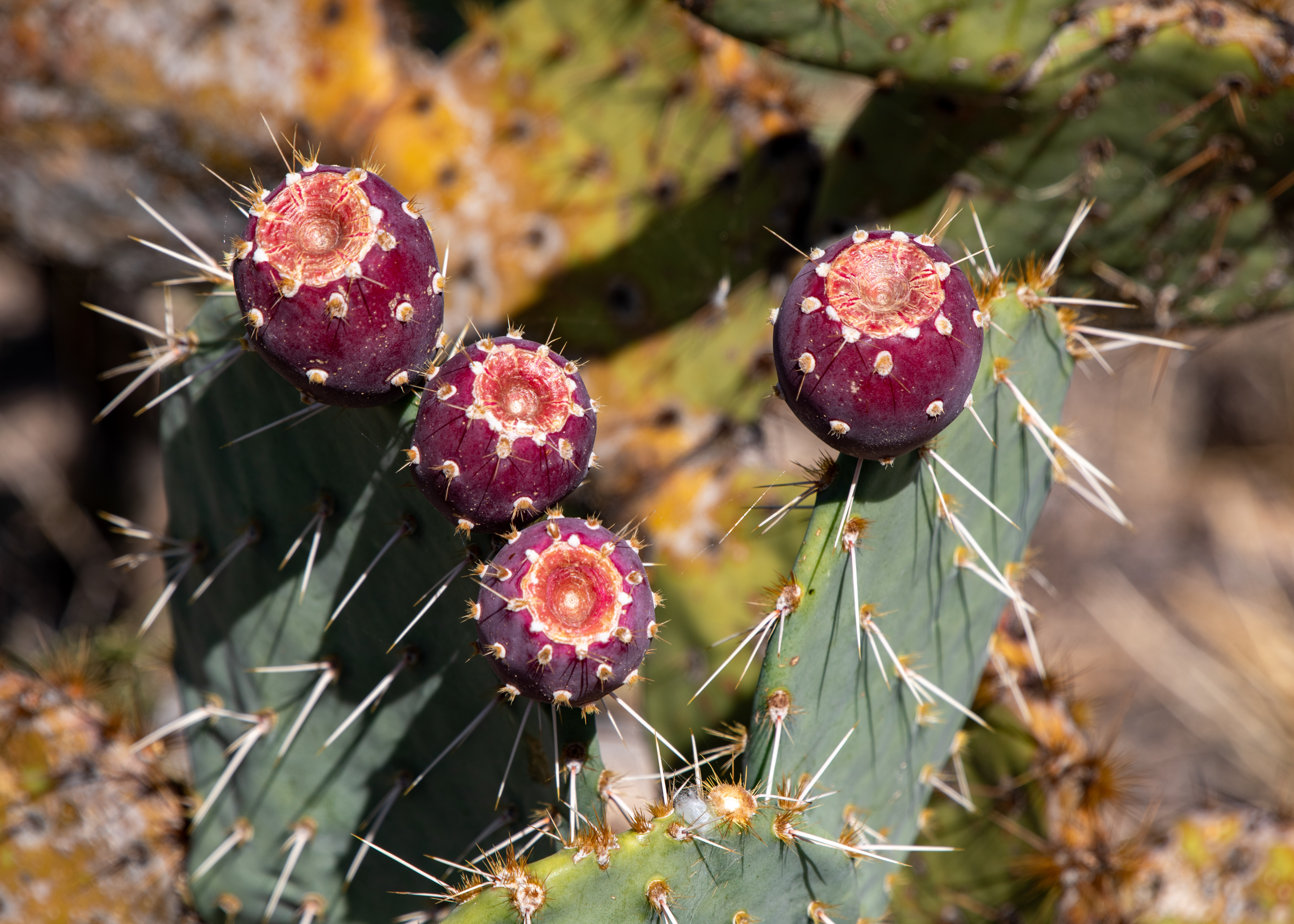
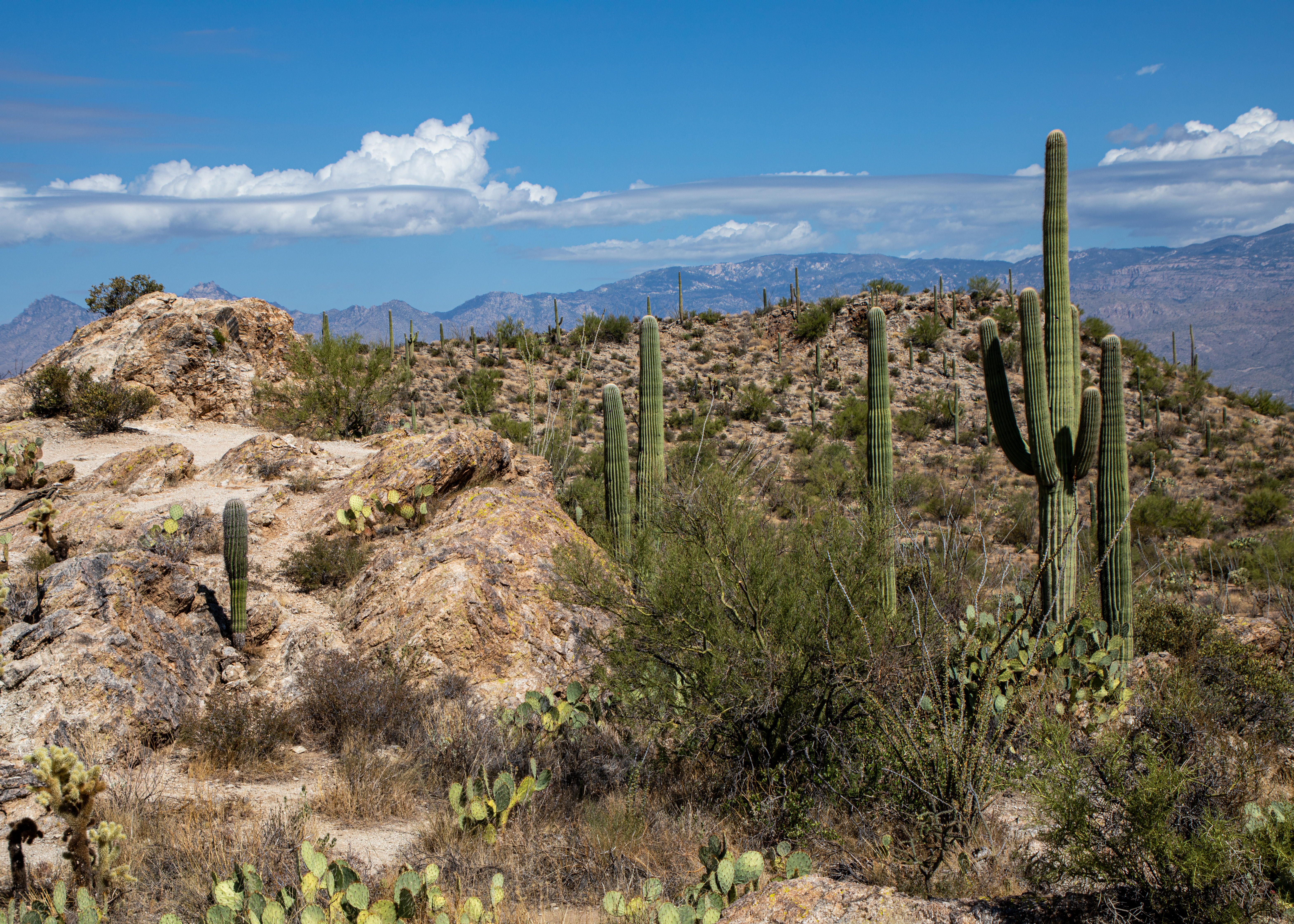
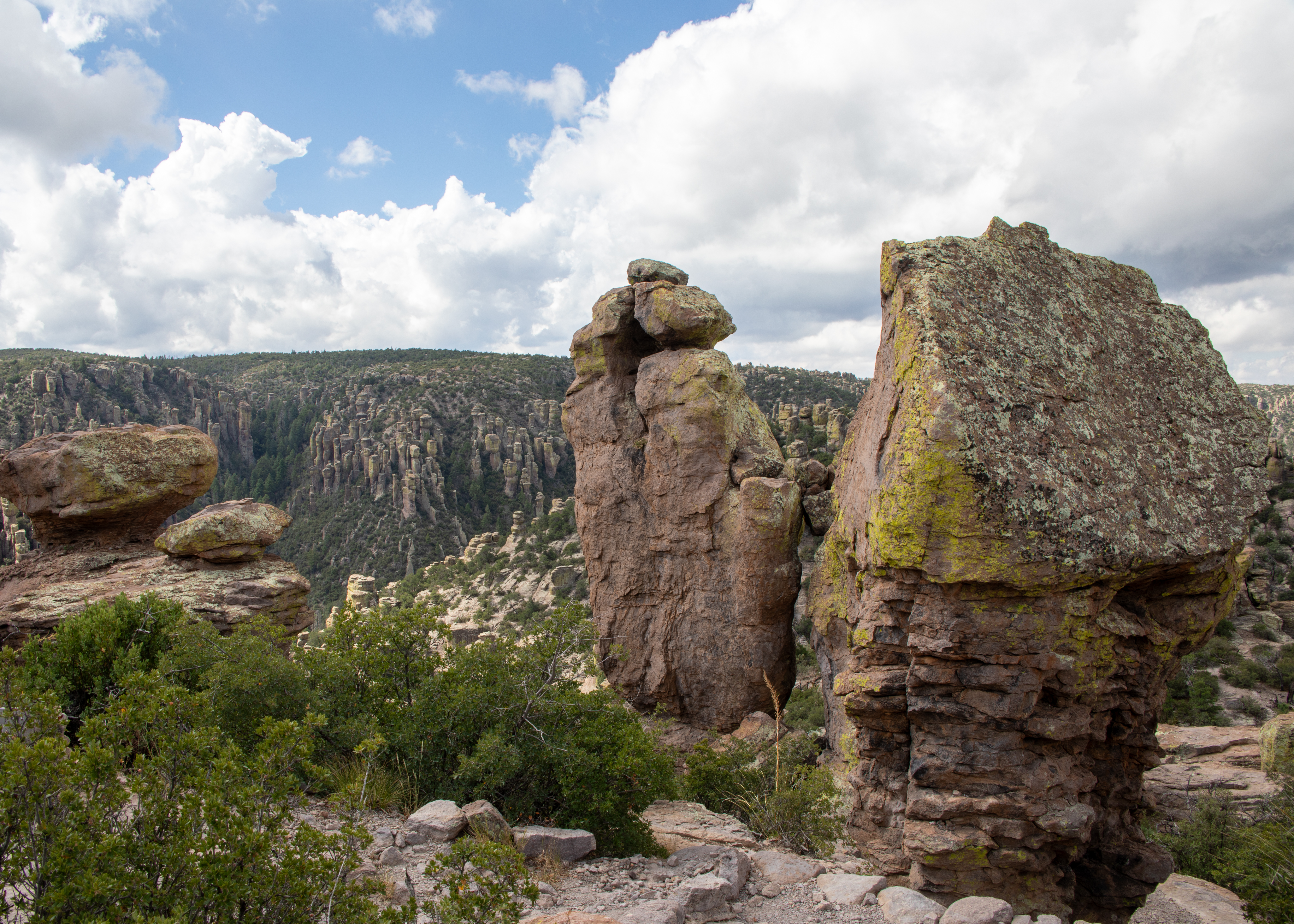
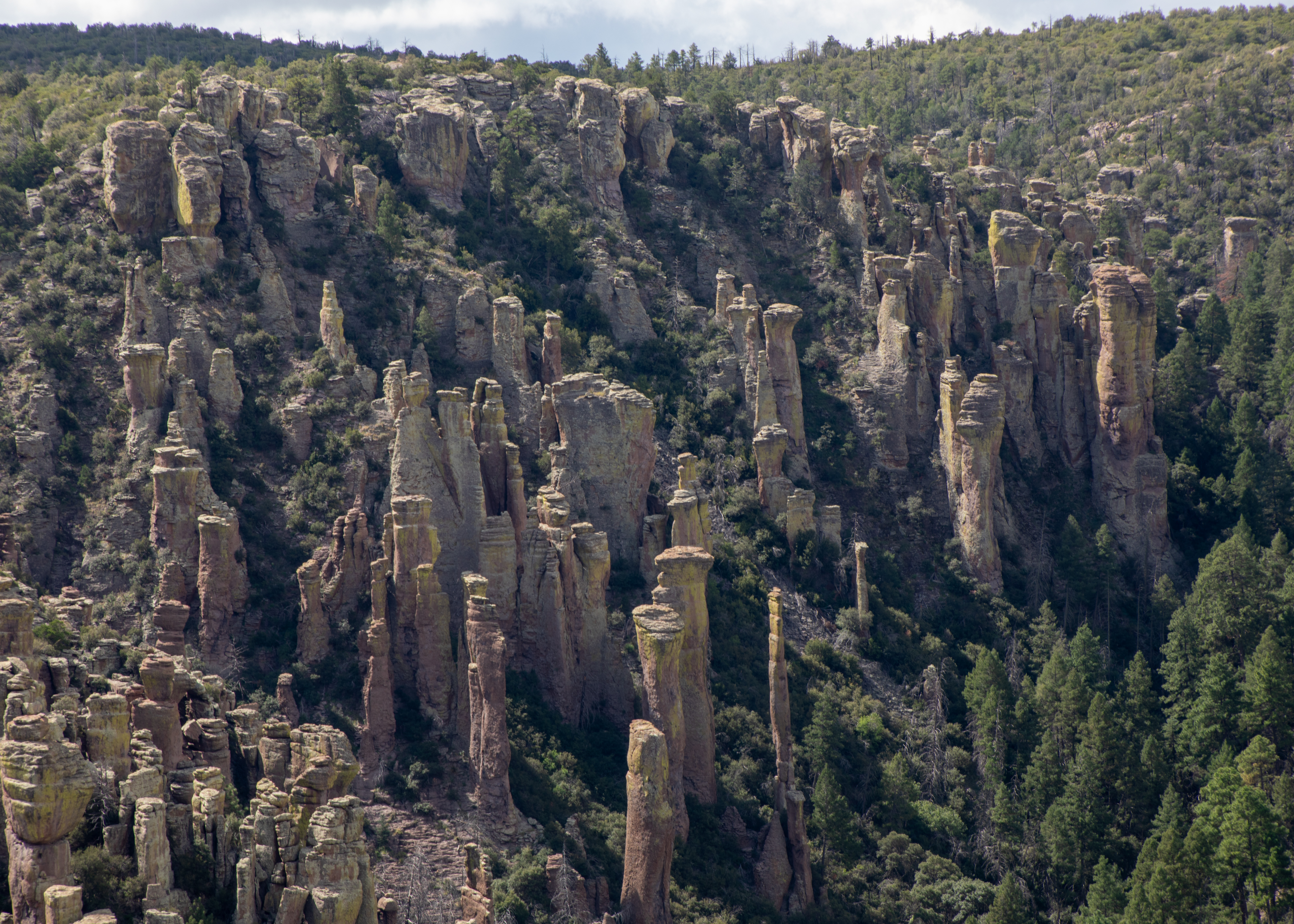
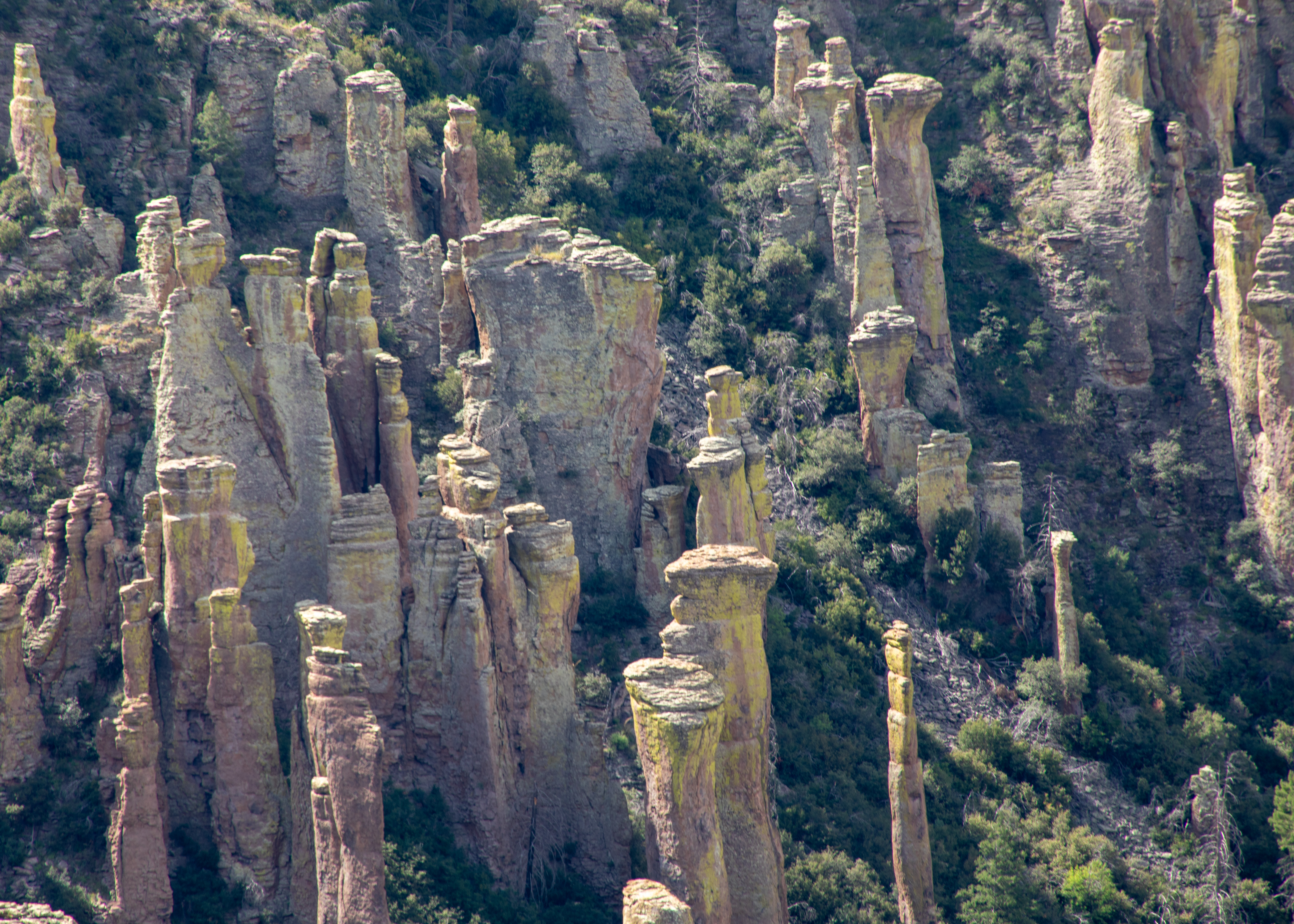
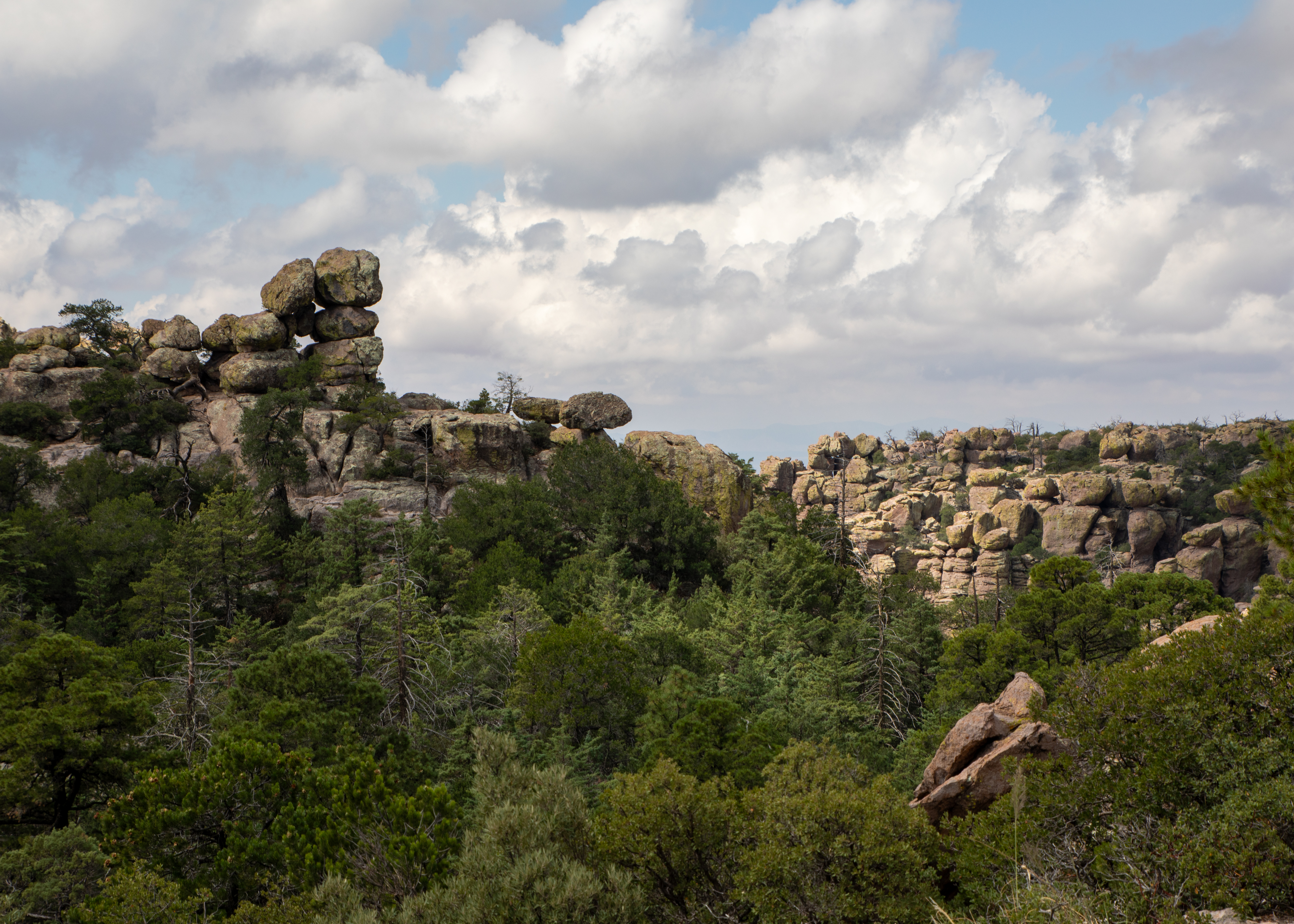
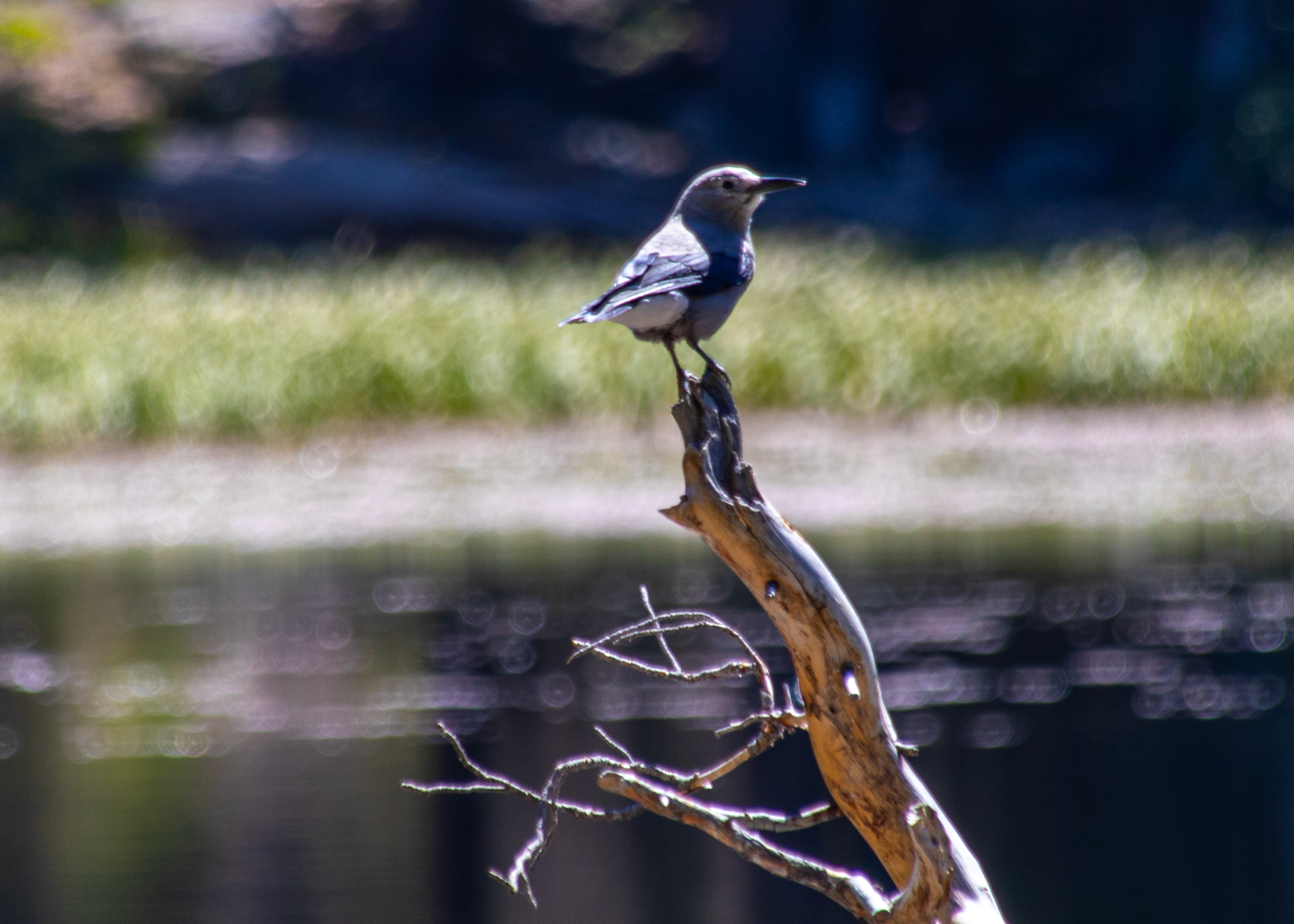
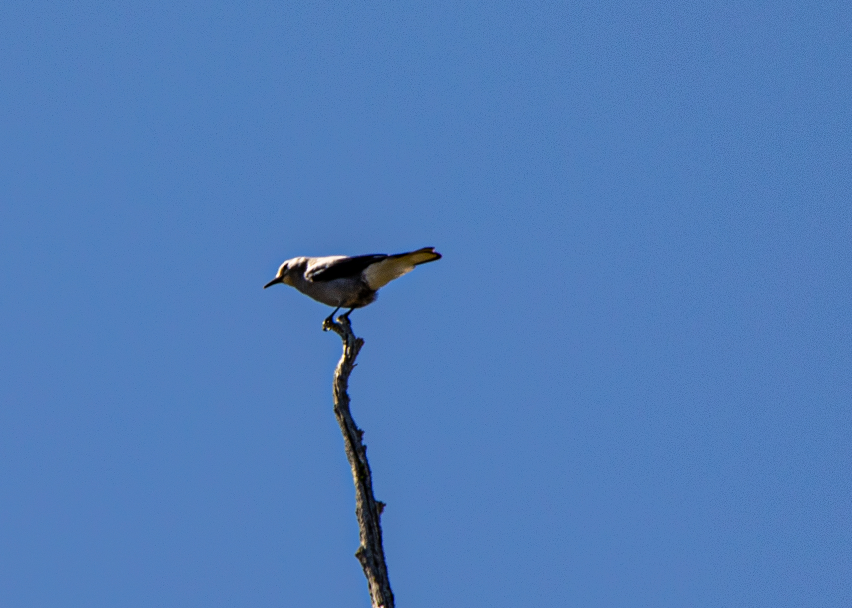
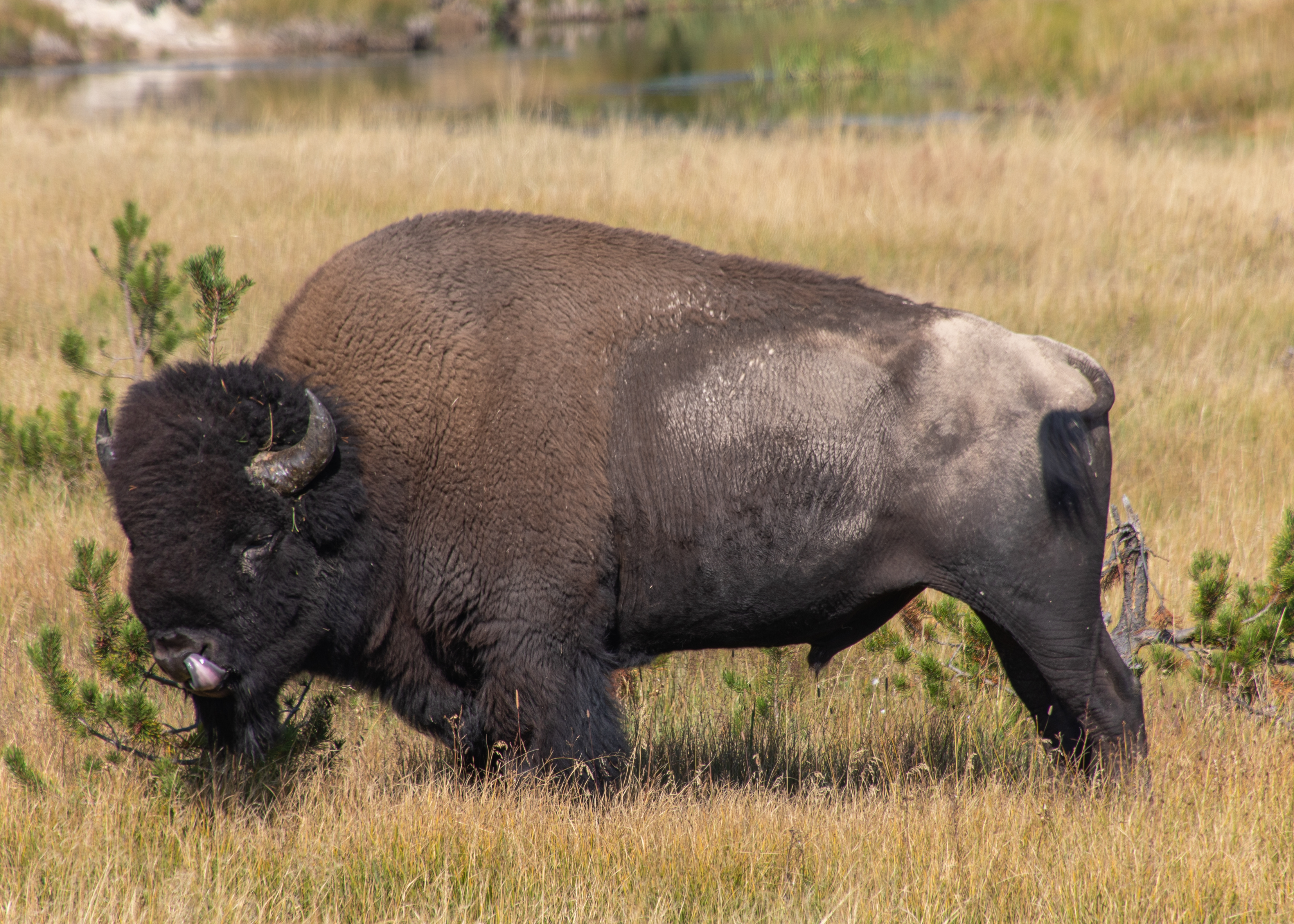
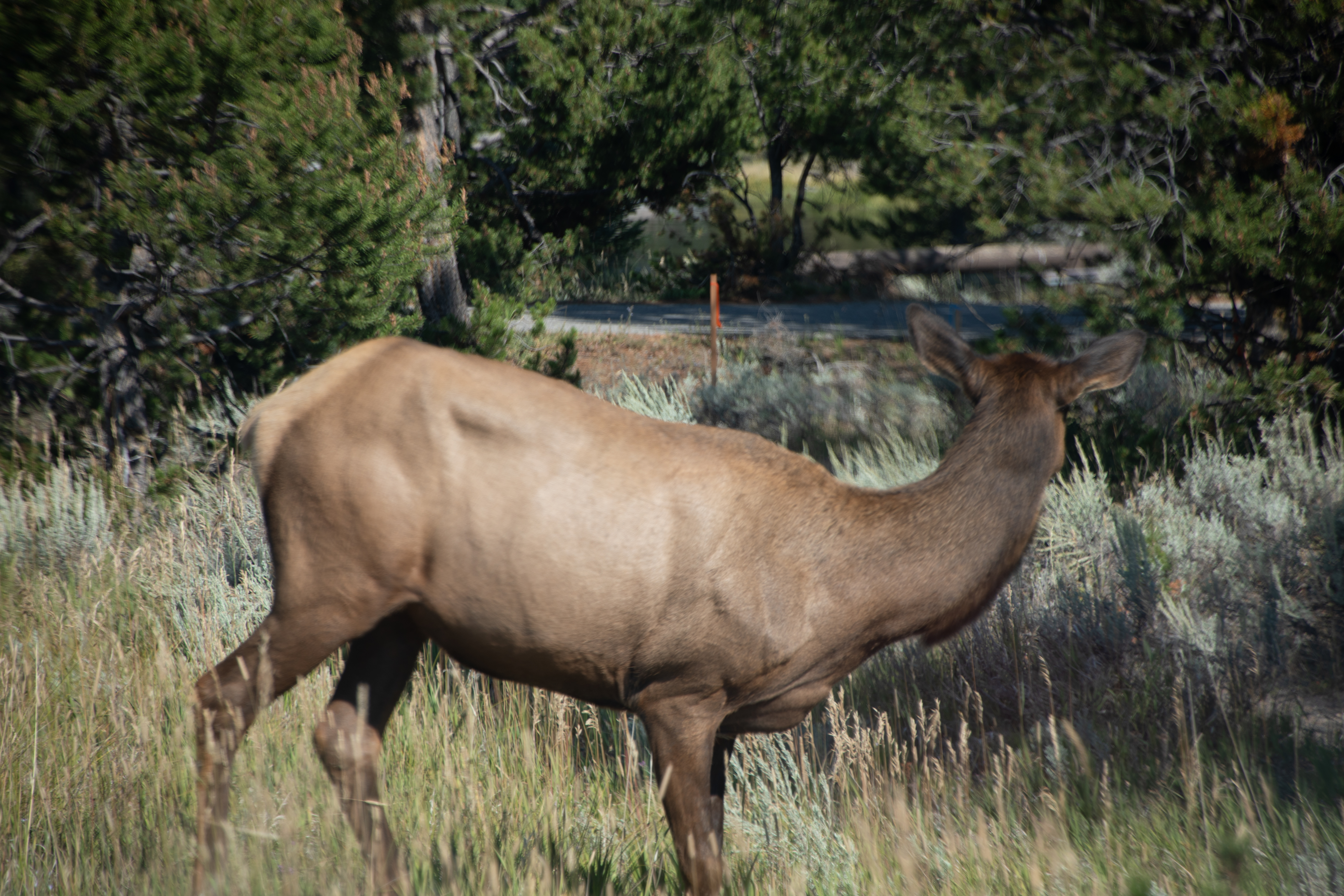
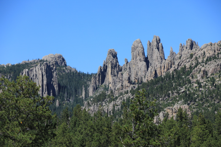
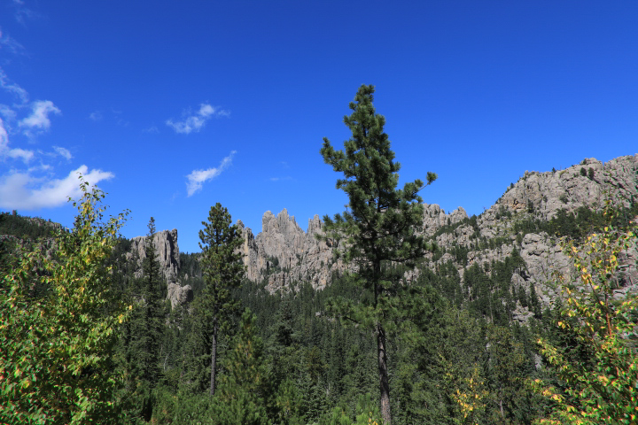
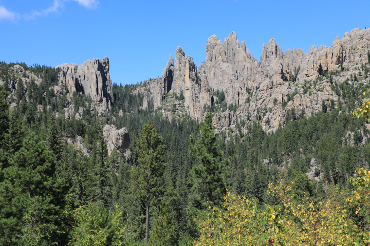
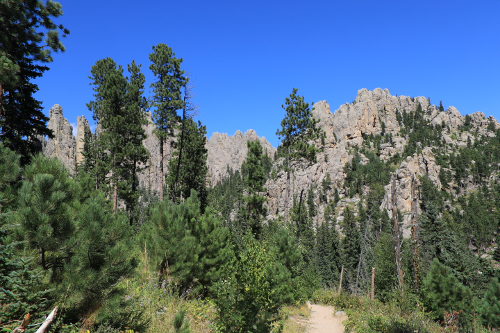
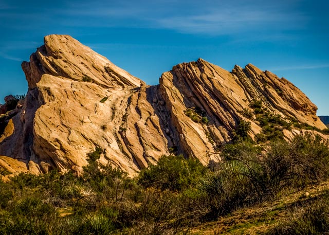
I purchased a new camera and decide to do some hikes to try to learn it and hopefully improve my photography skills.

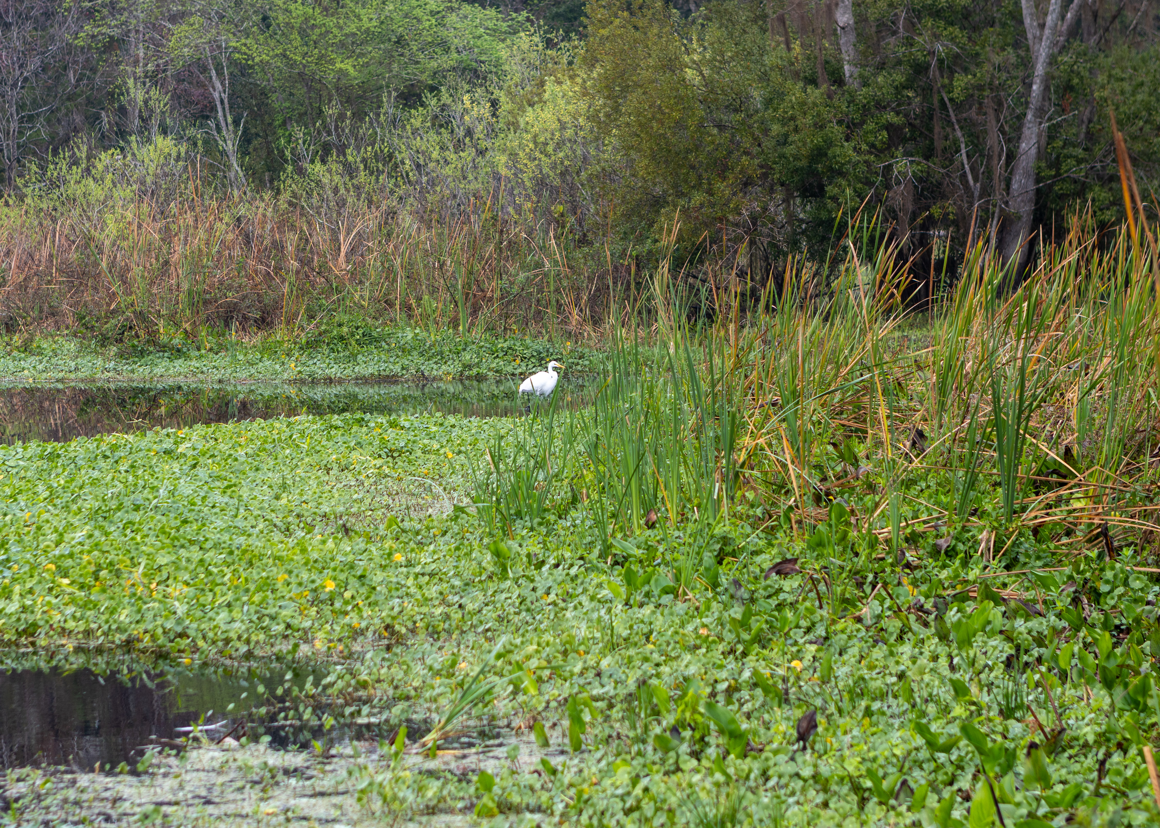
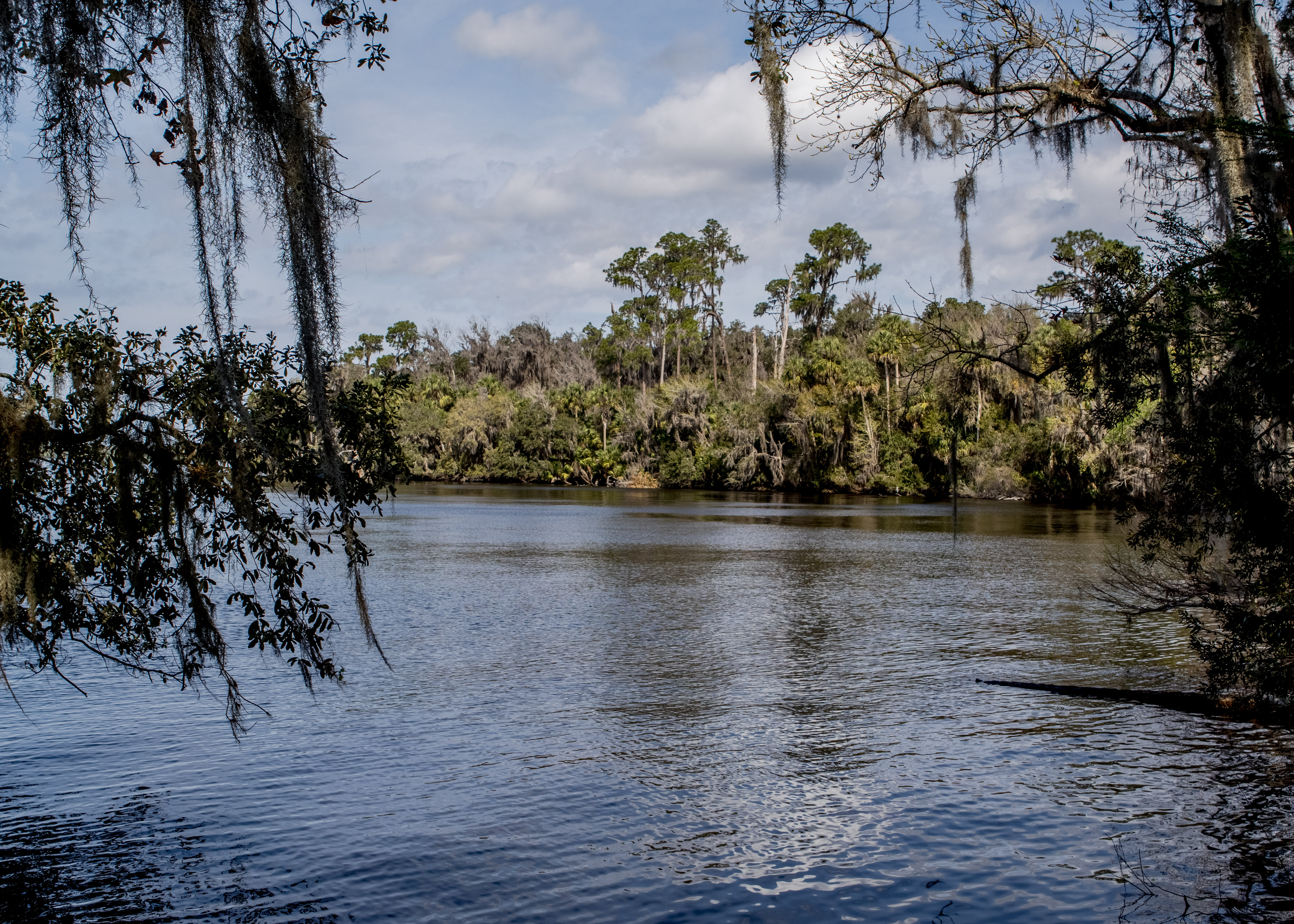
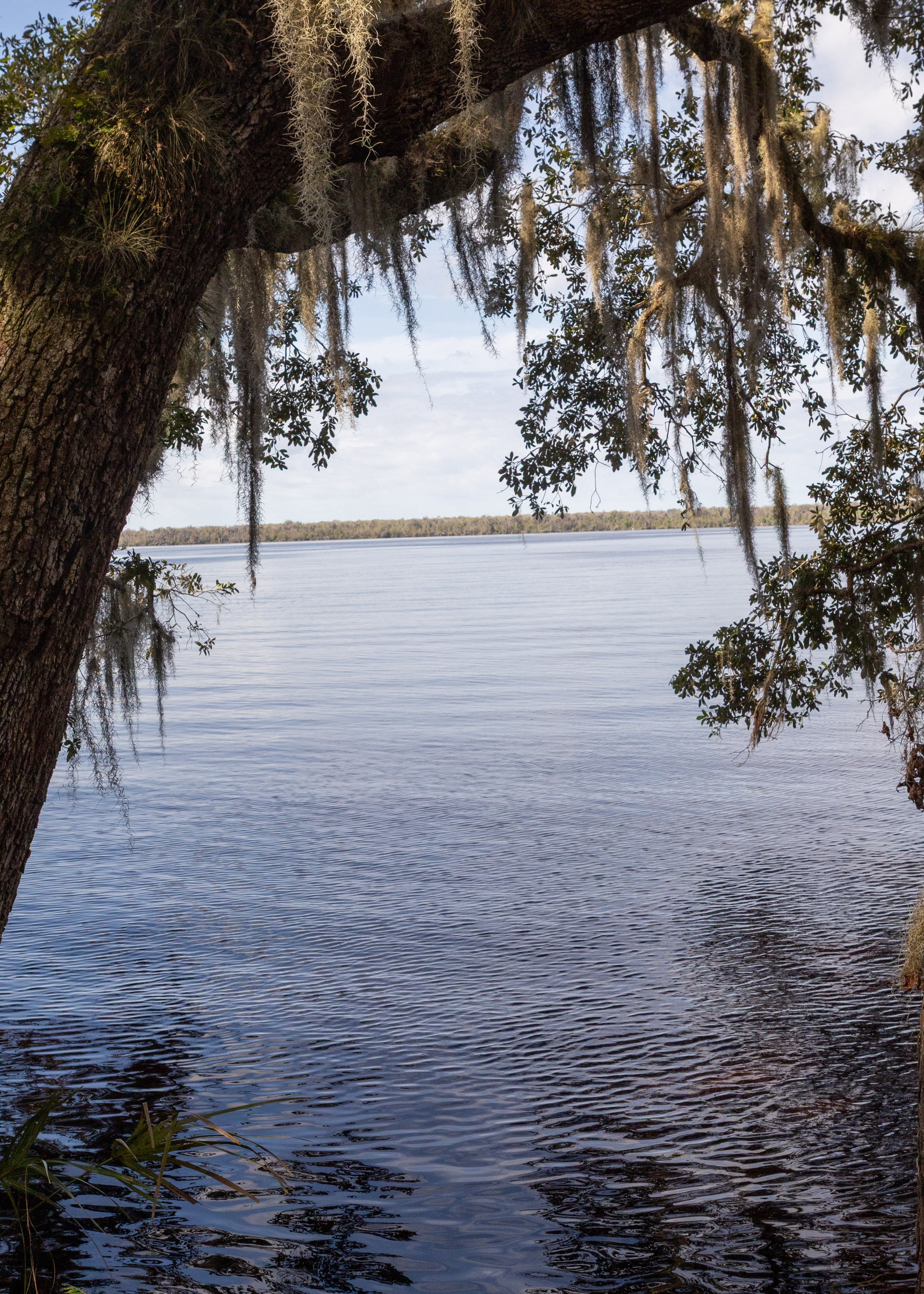
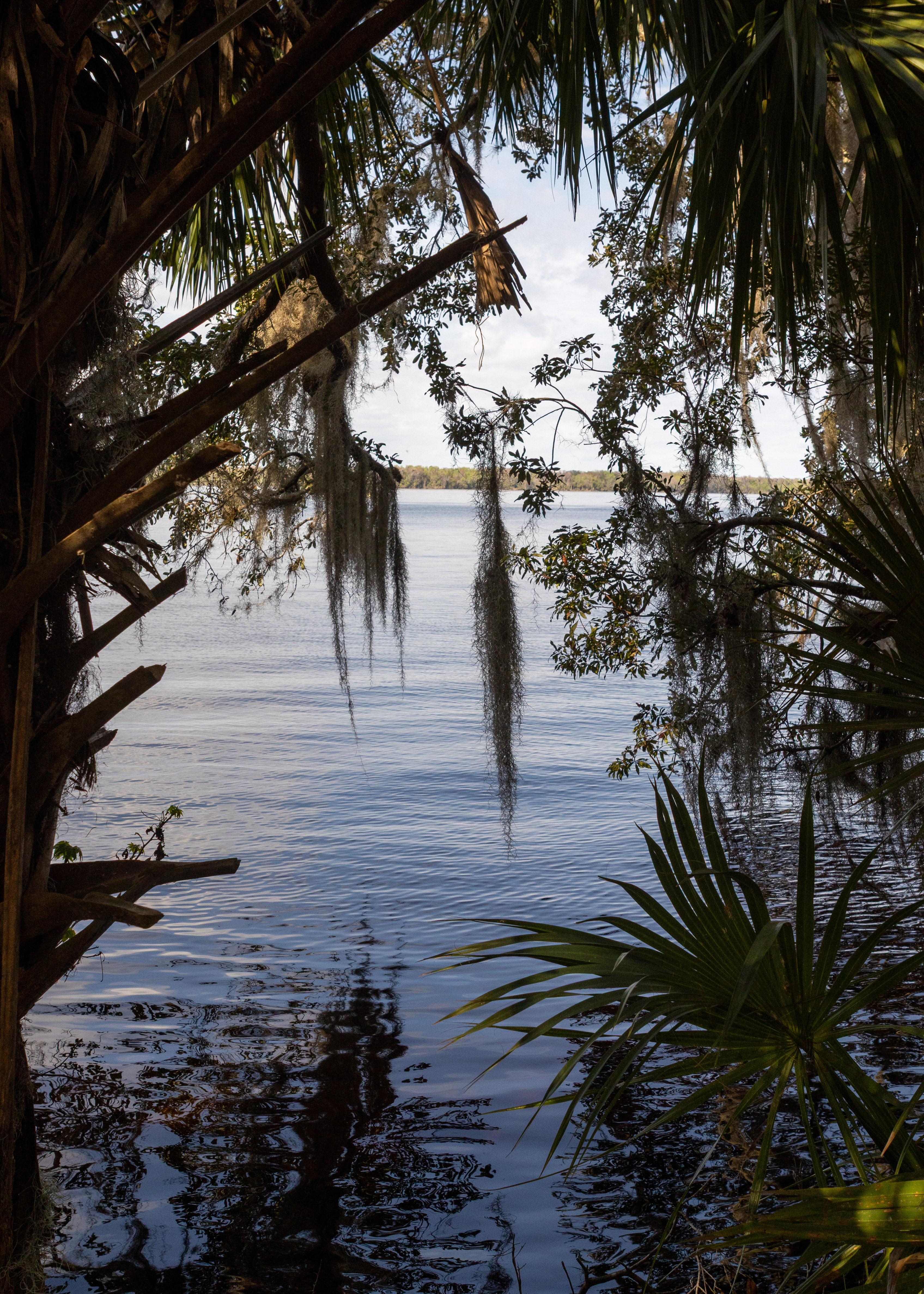
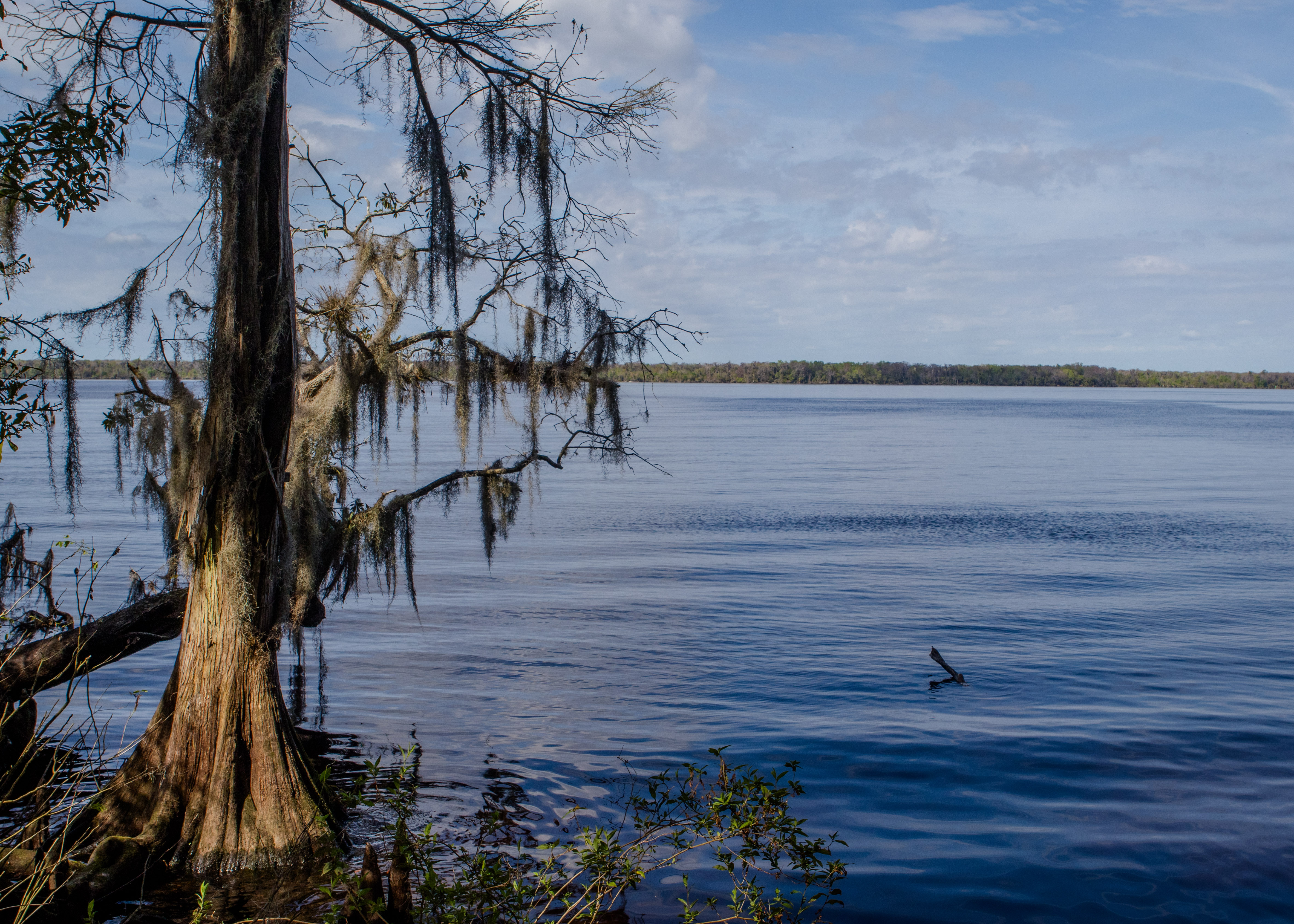
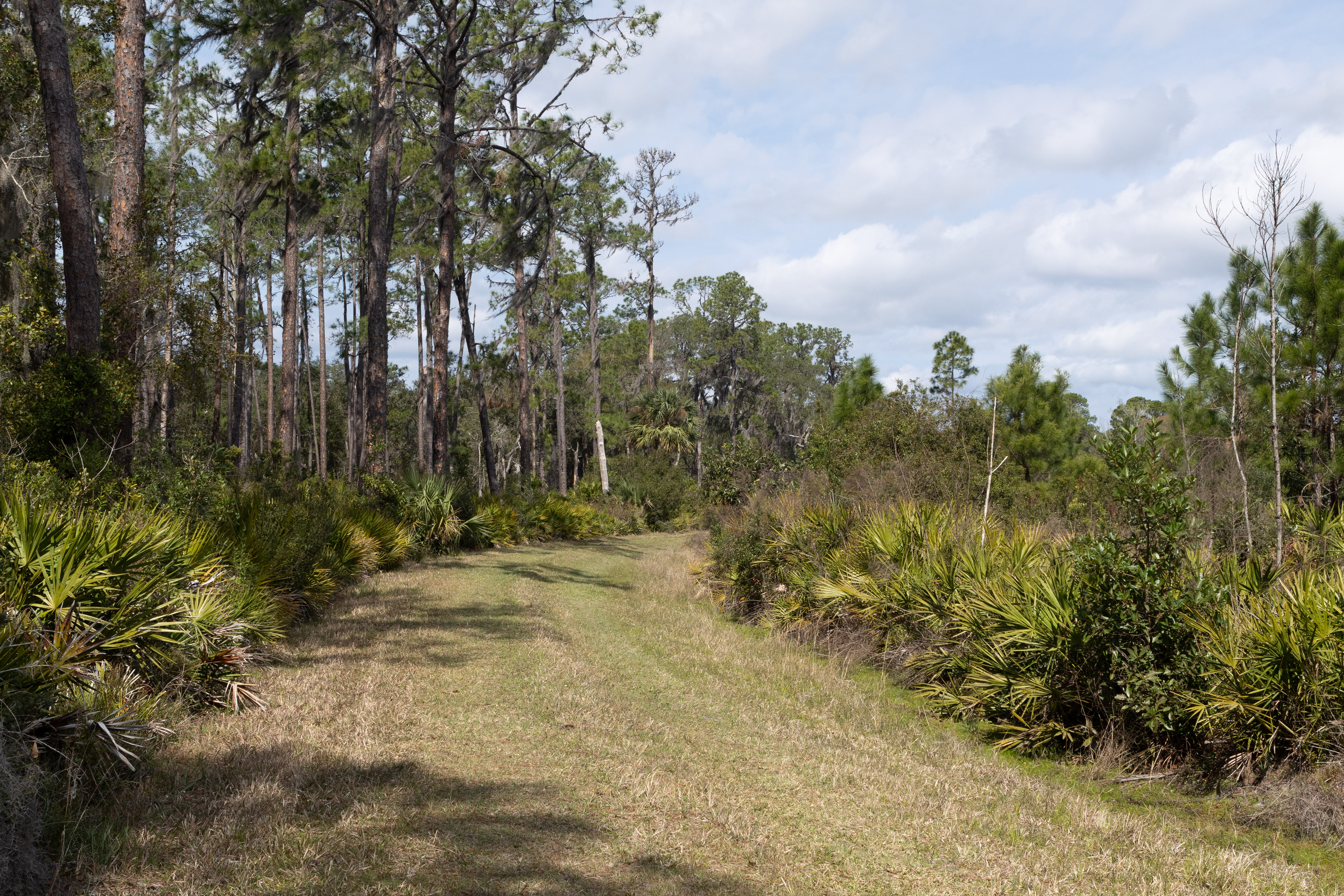
The Bluffton Interpretive Trail is a 1.2-mile loop located in the Lake George State Forest near Astor, Florida. It’s an easy trail, and is perfect for birding, camping, and fishing. The trail is open year-round and offers a peaceful experience with minimal crowds. However, dogs aren’t allowed on this trail. The trail features interpretive markers that provide insights into the area’s natural and historical significance. There’s also a boardwalk leading to a fishing pier.

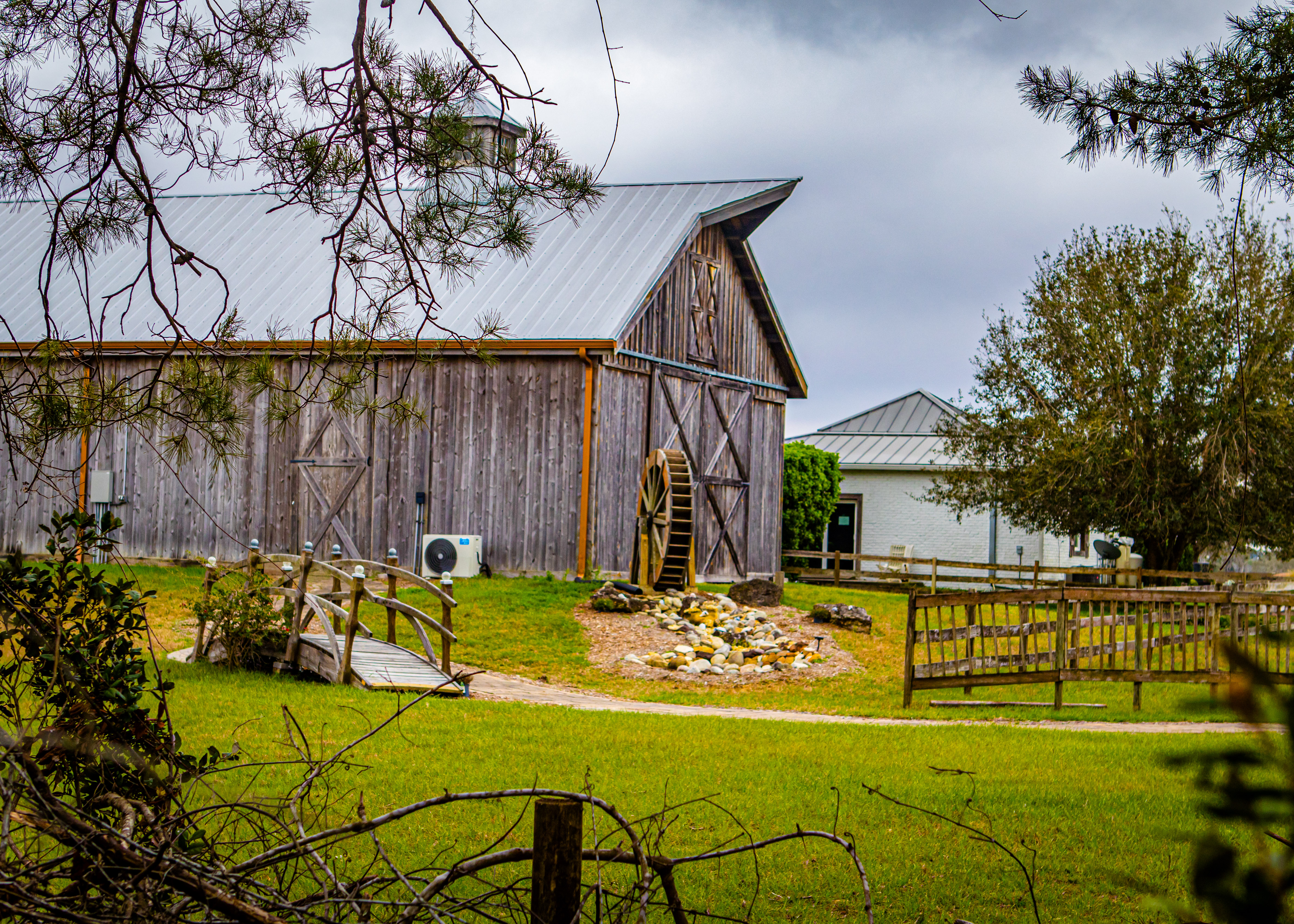
De Leon Springs State Park, located in De Leon Springs, FL, is a destination with over 6,000 years of cultural and natural history. The park features a recreational swimming area with crystal-clear 72-degree spring water, trails through lush subtropical forests, and a fascinating history tied to the Mayaca Indians and early settlers. Unfortunately do to recent hurricanes the main trails were only partially open but still enjoyable. The park also offers a unique experience at the Old Sugar Mill Pancake House, where you can make your own pancakes at the table.

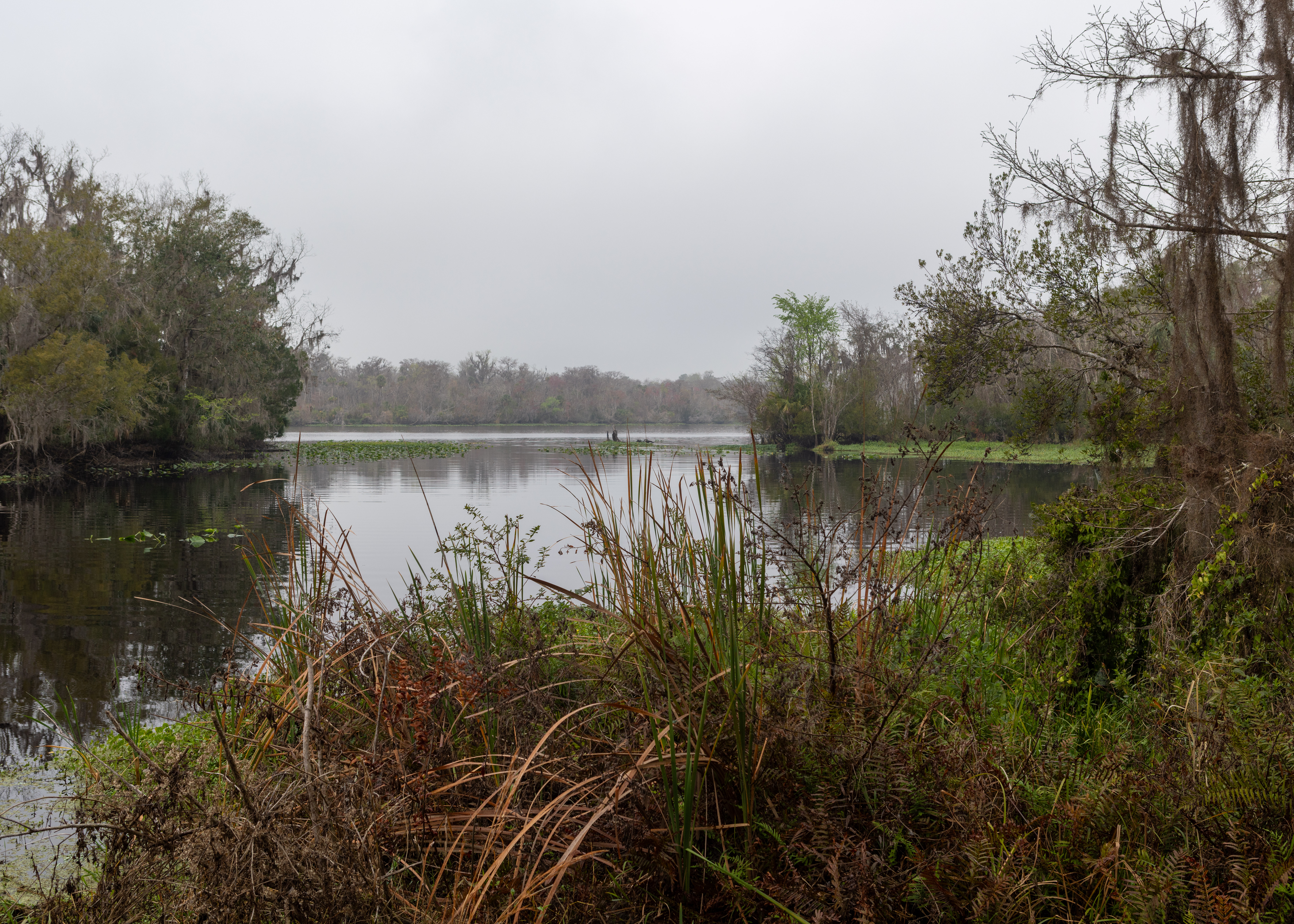
Doris Leeper Spruce Creek Preserve is a natural area located in Port Orange, Florida. It spans over 1,600 acres and offers a variety of outdoor activities, including hiking, kayaking, birdwatching, and fishing. The preserve is named after Doris Leeper, an artist and environmentalist who played a significant role in its conservation. One of the highlights of the park is the 536-foot-long boardwalk that leads to an observation tower, providing breathtaking views of the surrounding wetlands and Spruce Creek. There are also several trails, such as the Creekside Trail and the Spruce Creek Trail, which showcase the area’s diverse ecosystems.

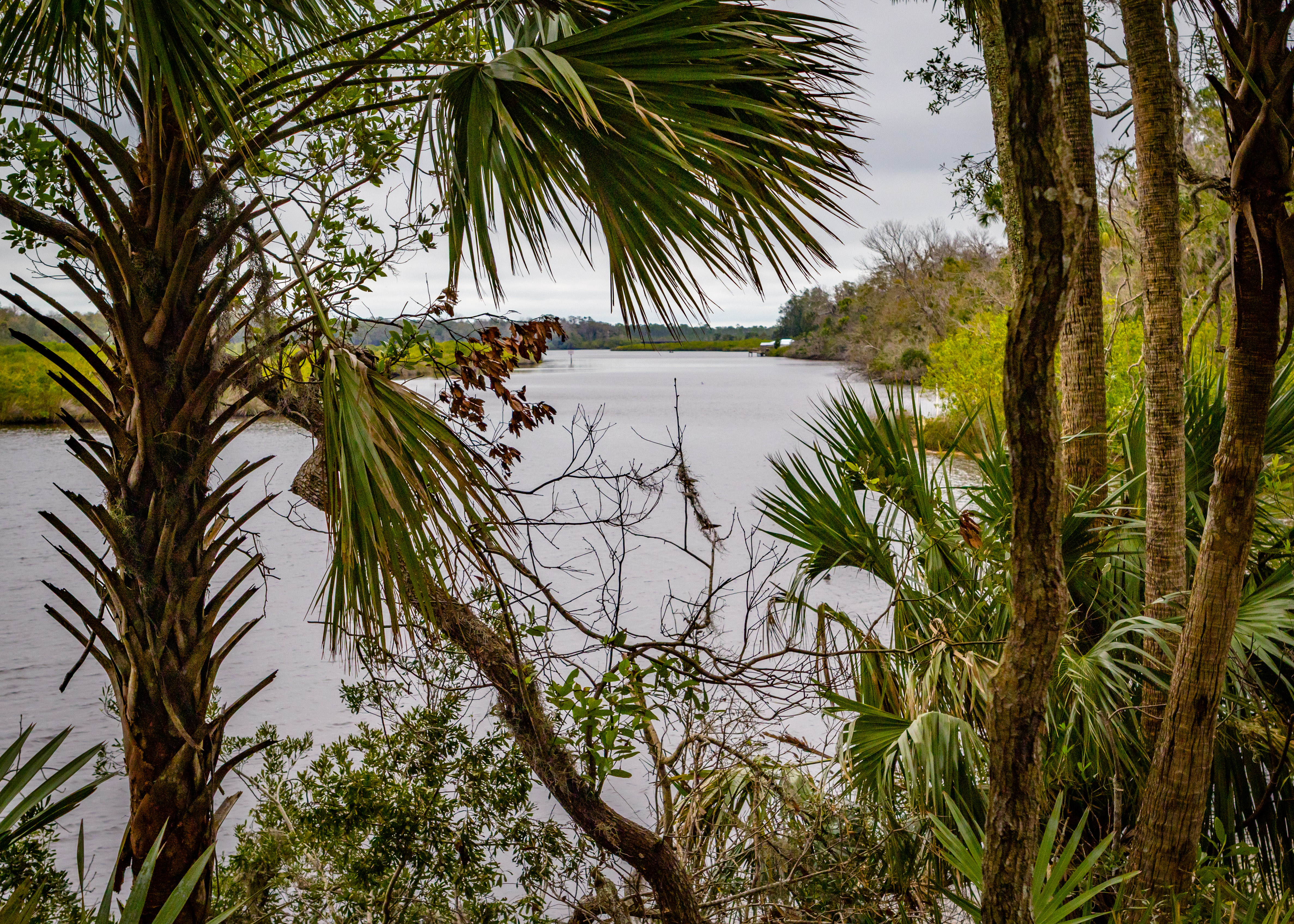
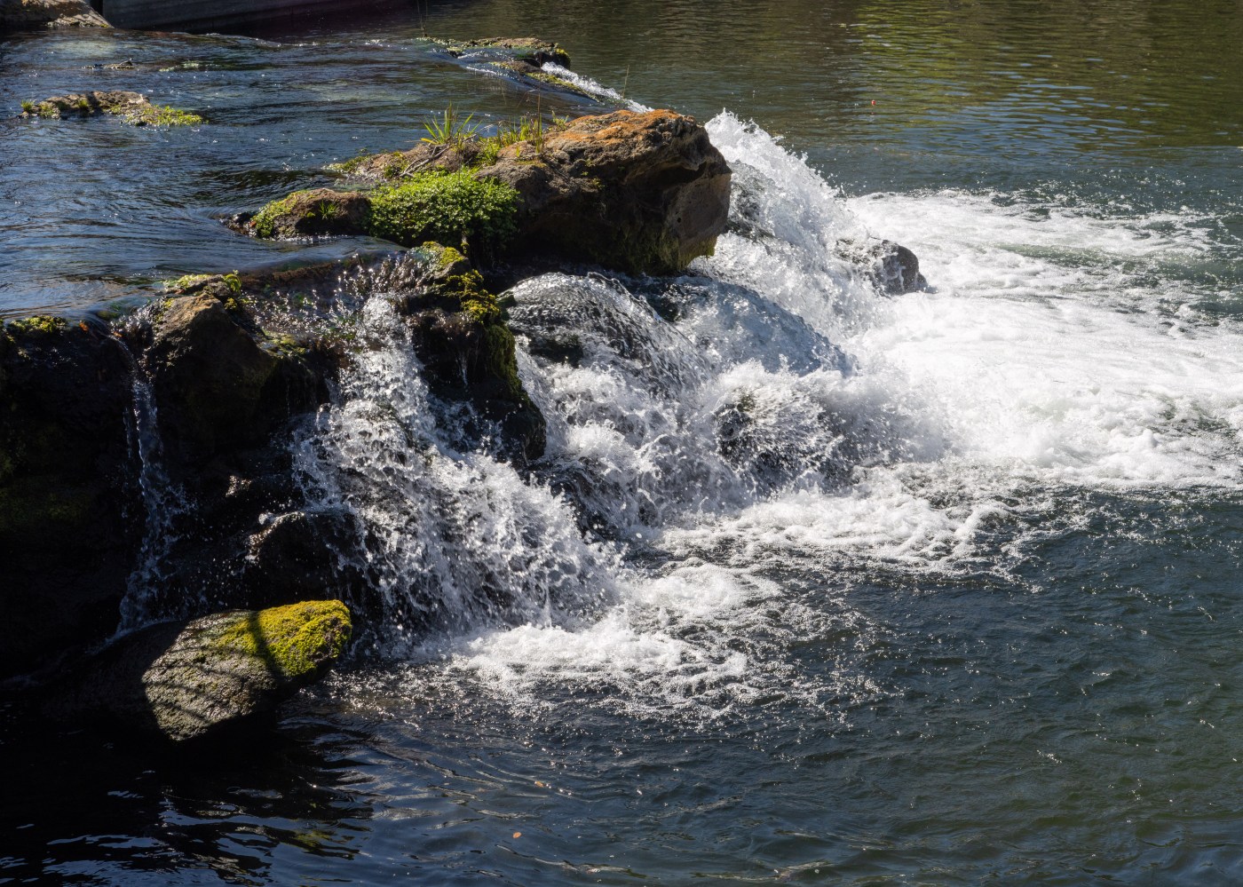
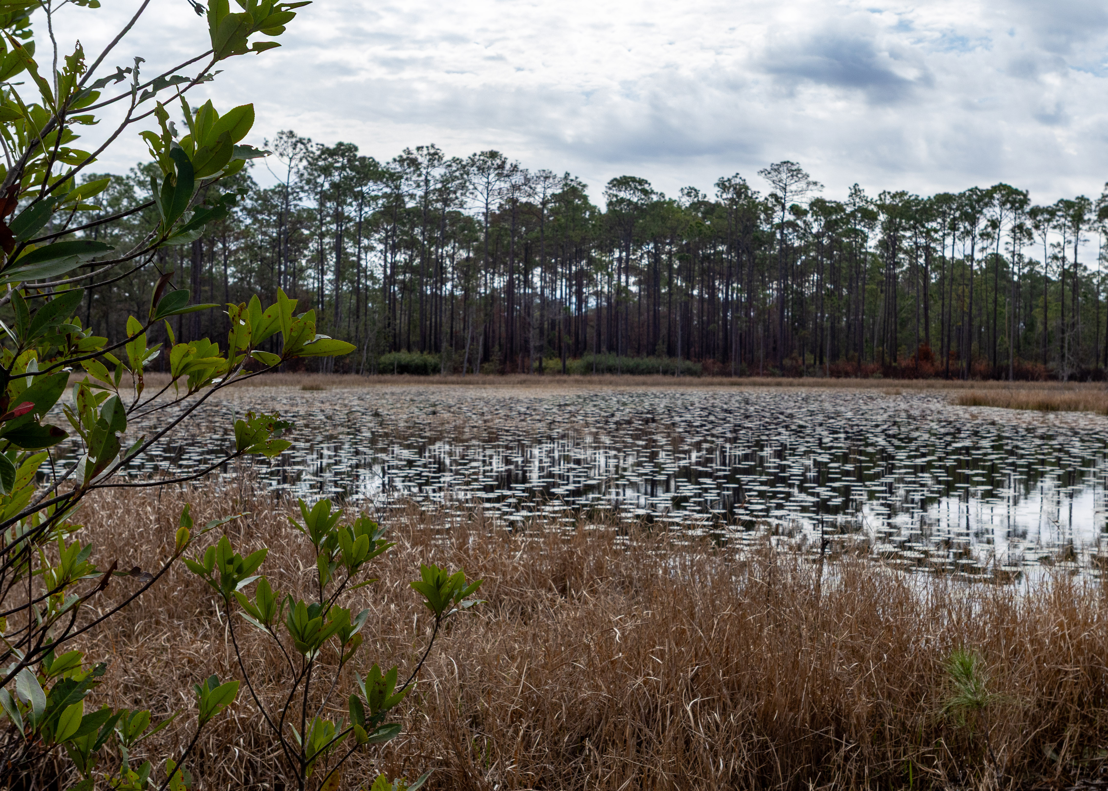
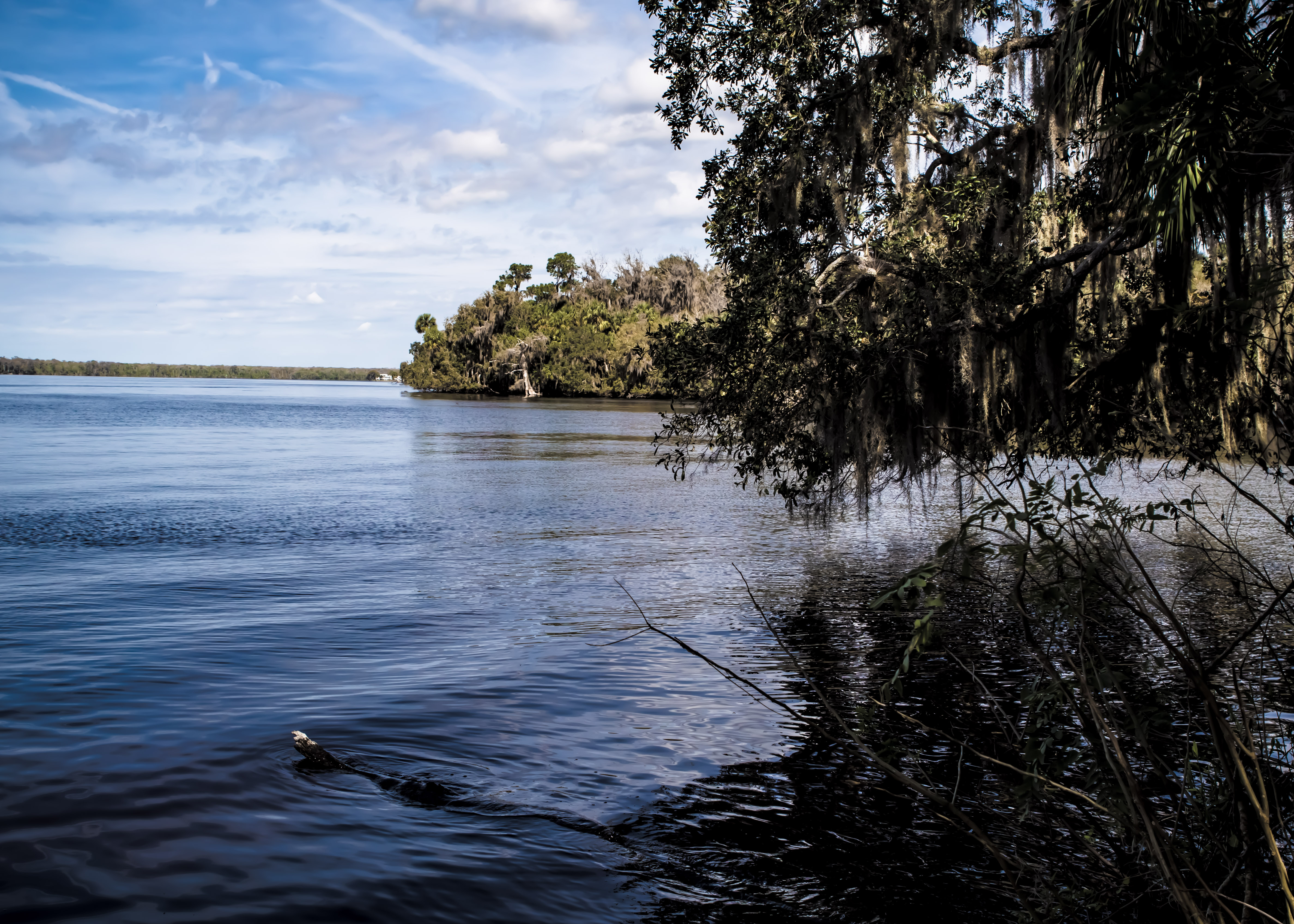
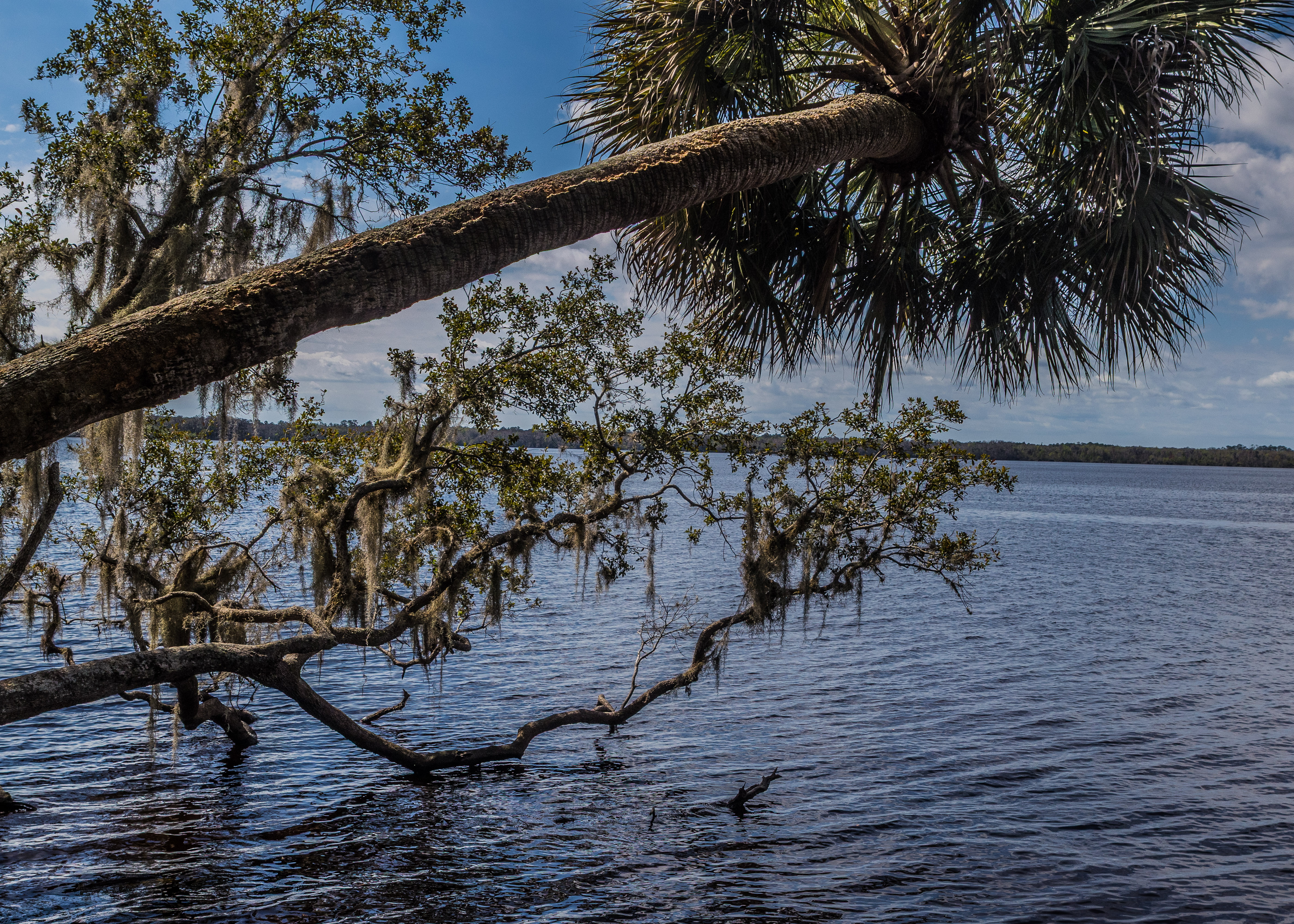
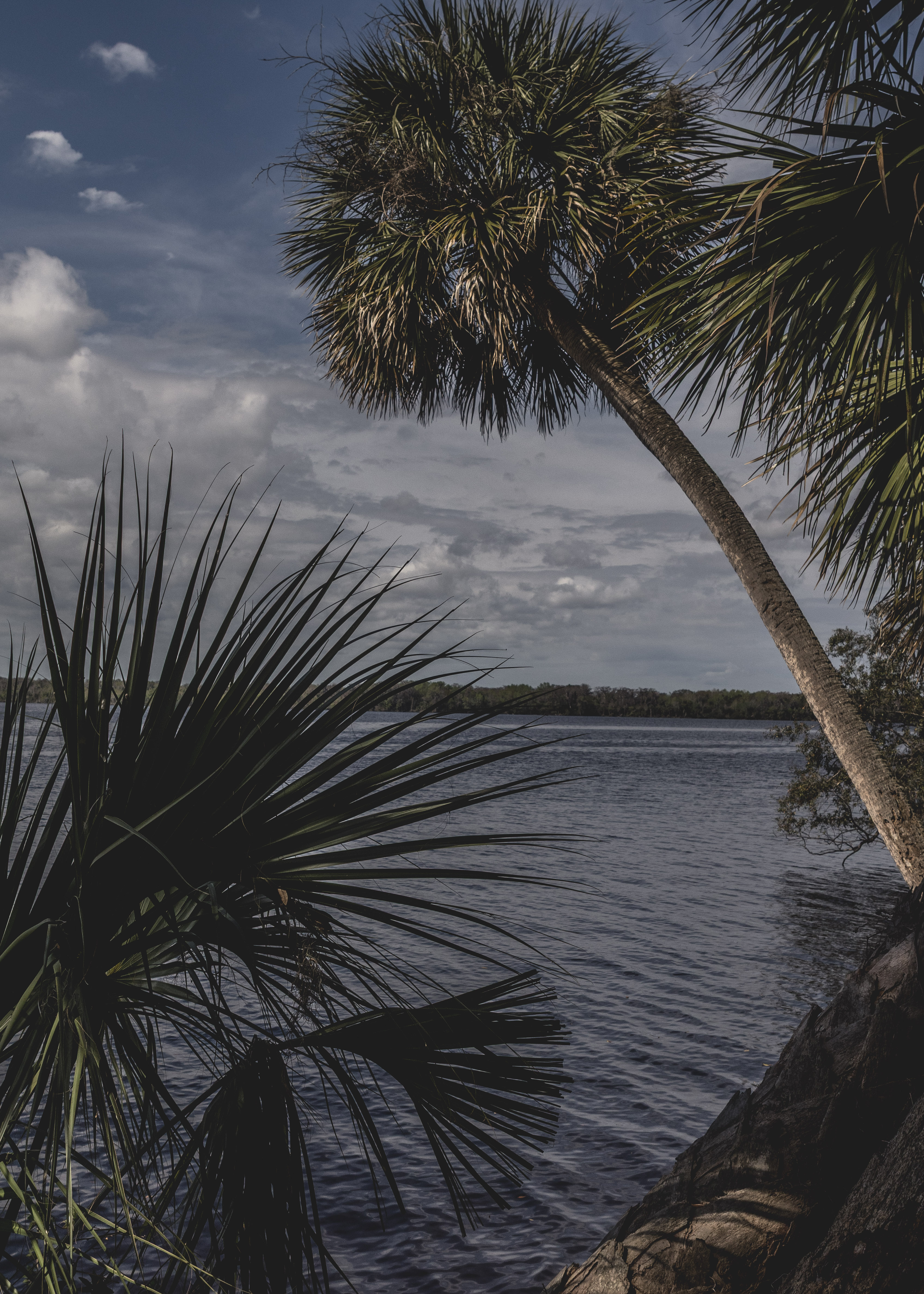
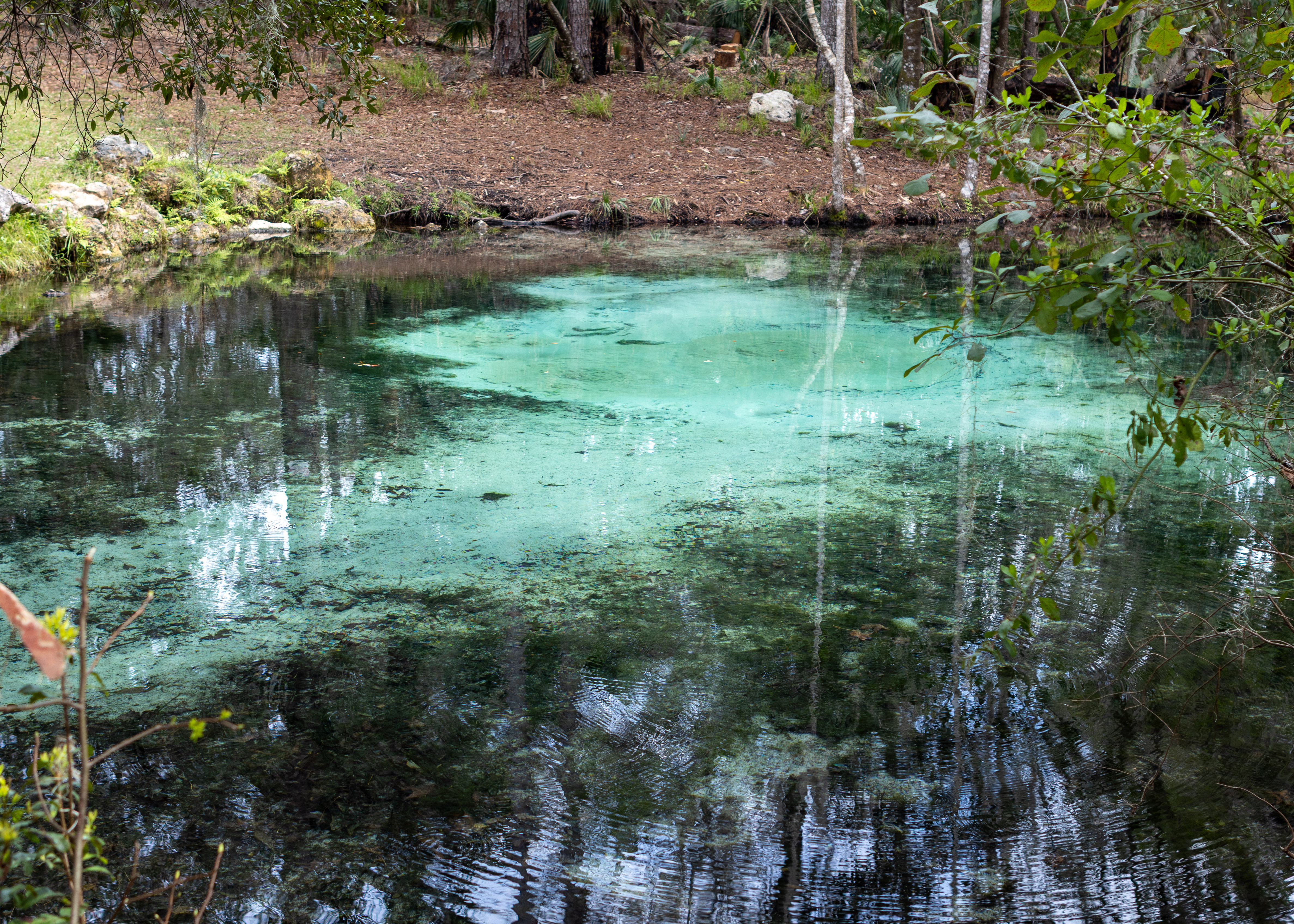
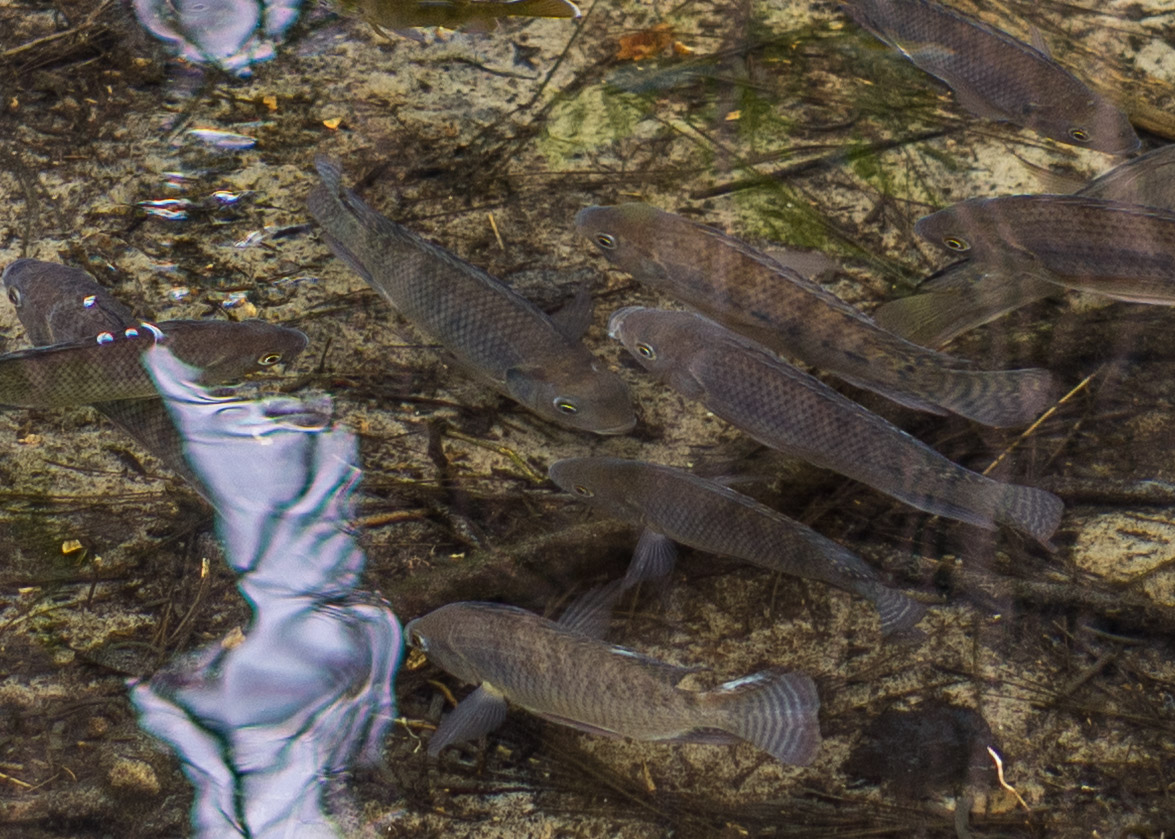
Welaka State Forest, located in northeastern Florida along the east bank of the St. Johns River, is a beautiful natural area offering a variety of outdoor activities. It spans over 2,287 acres and features diverse ecosystems, including river swamps, pine flatwoods, and sandhills. Visitors can enjoy hiking, birdwatching, fishing, and even horseback riding, as the forest includes an equestrian campground with facilities. One of the highlights is Mud Spring, which flows clear spring water into a half-mile spring run that connects to the St. Johns River. The forest also has over four miles of river frontage, providing scenic views and opportunities for wildlife observation.

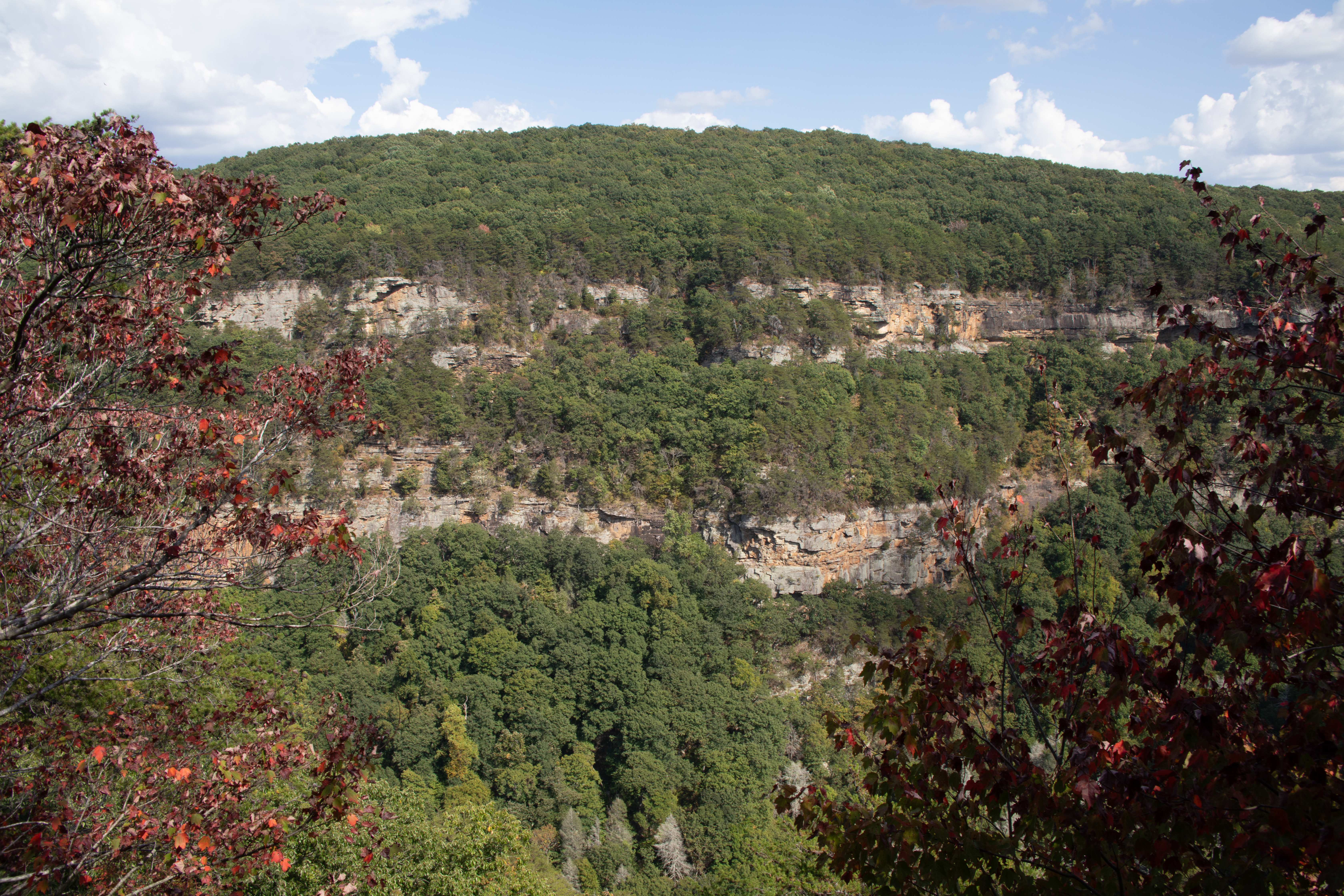
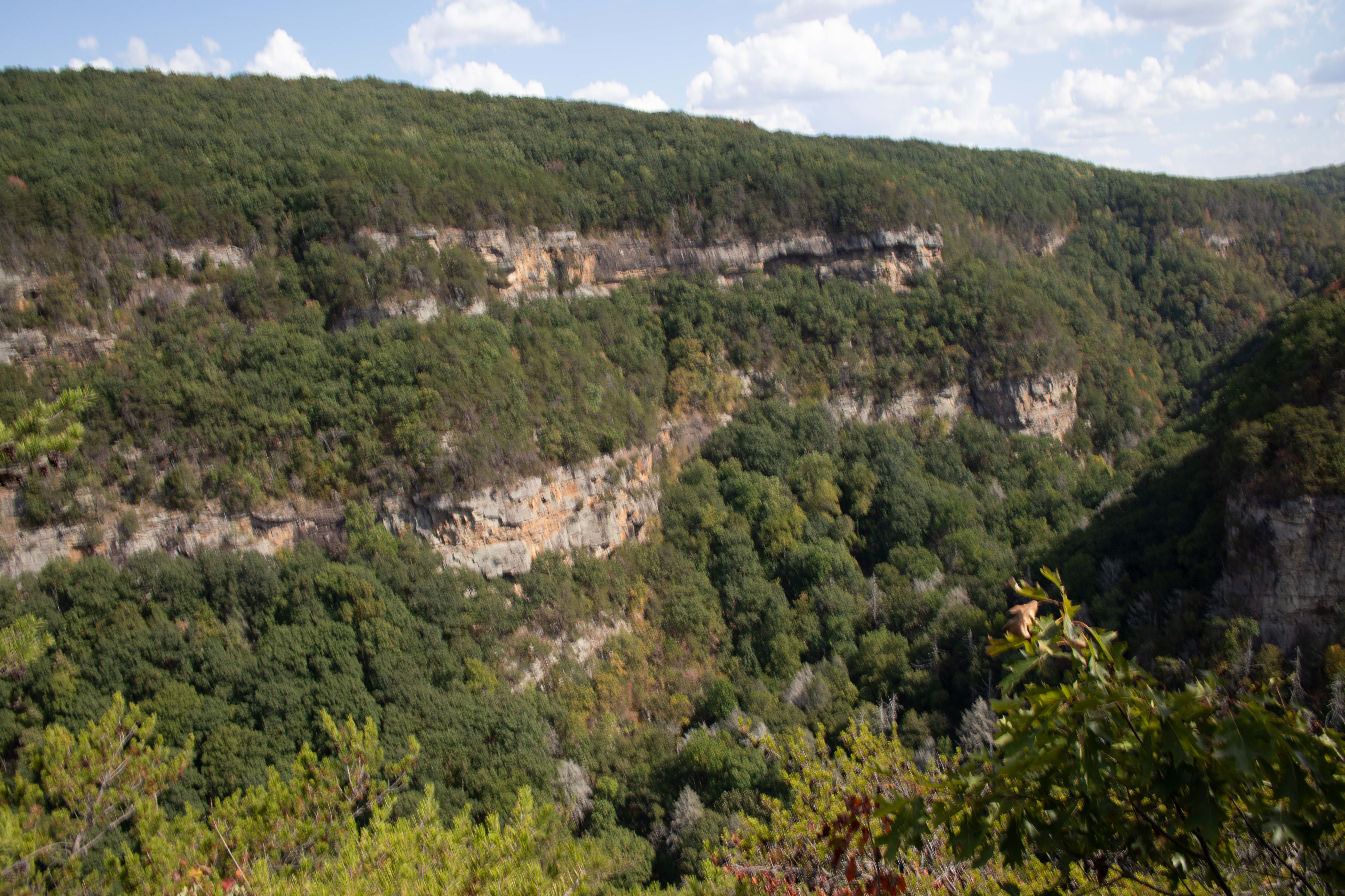
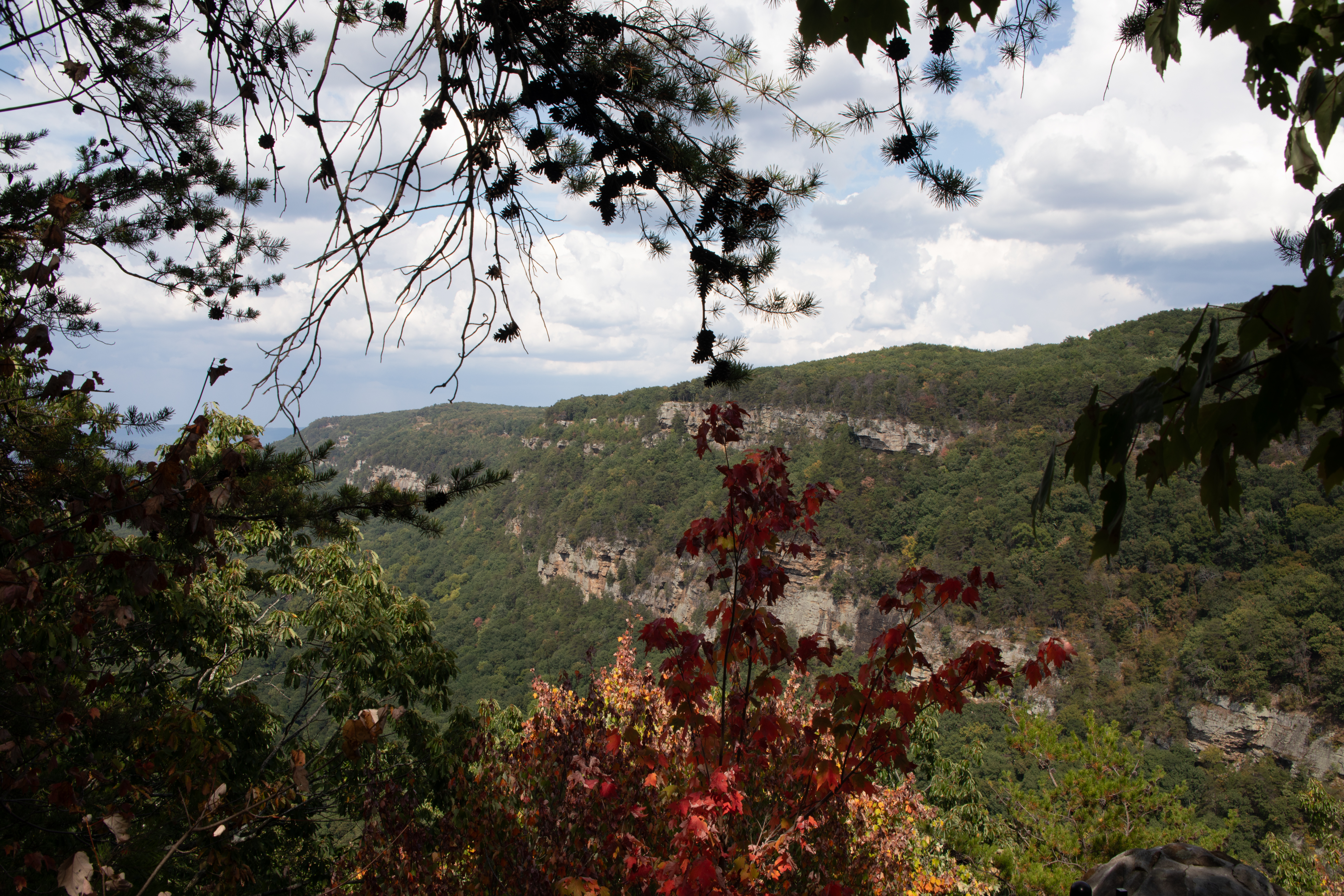
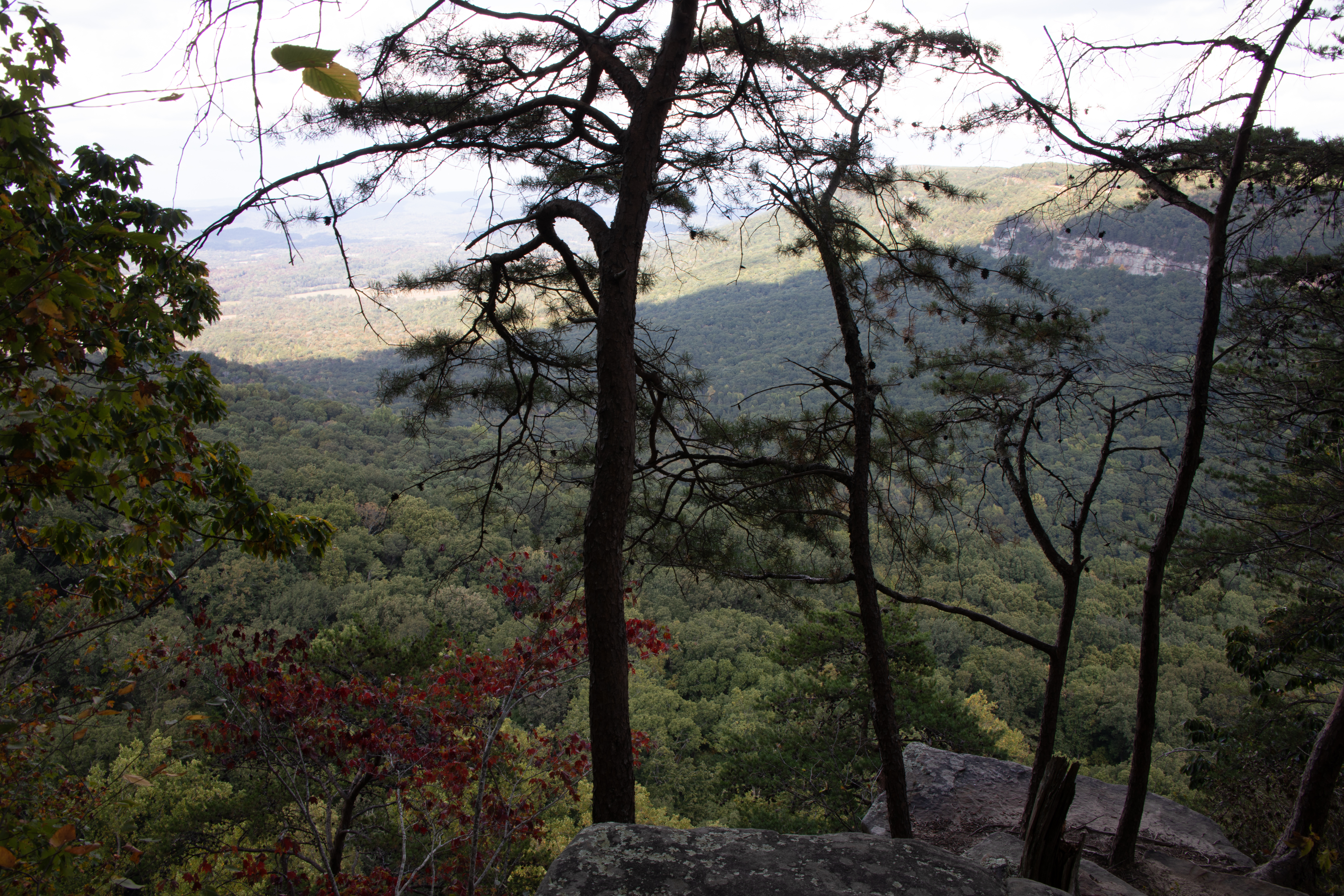
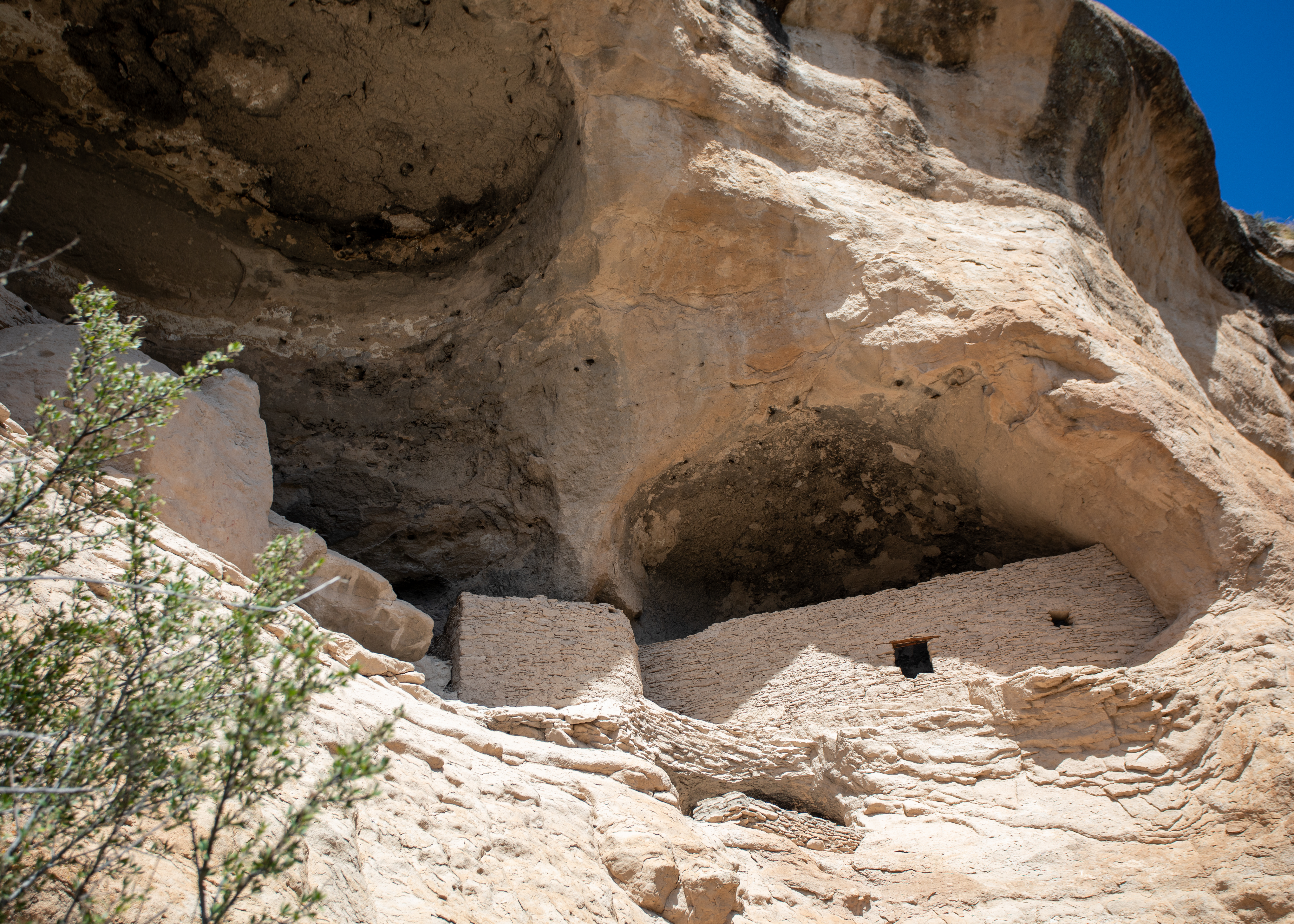
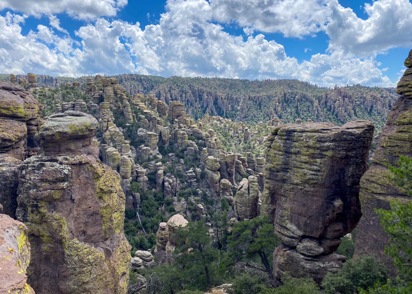
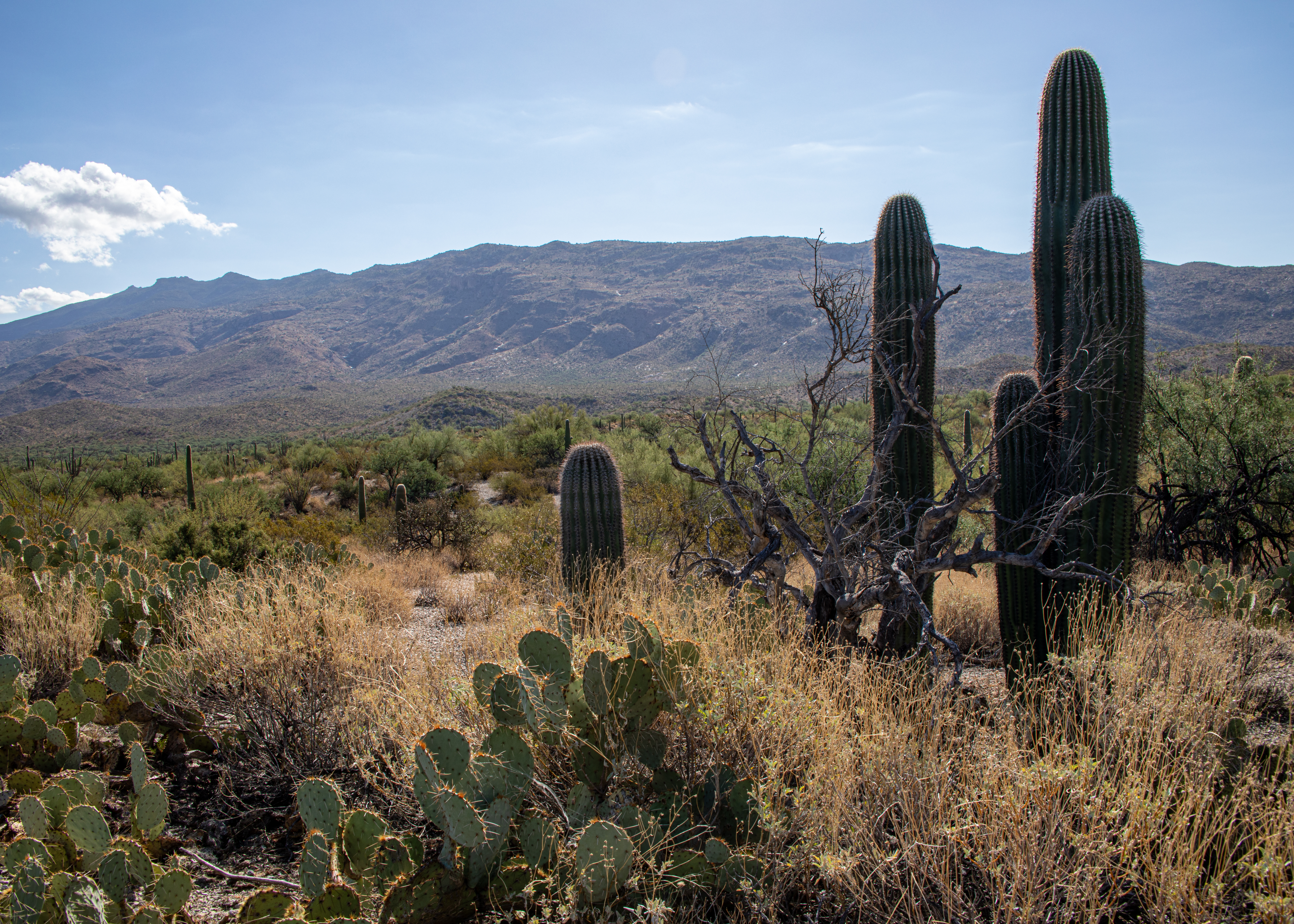
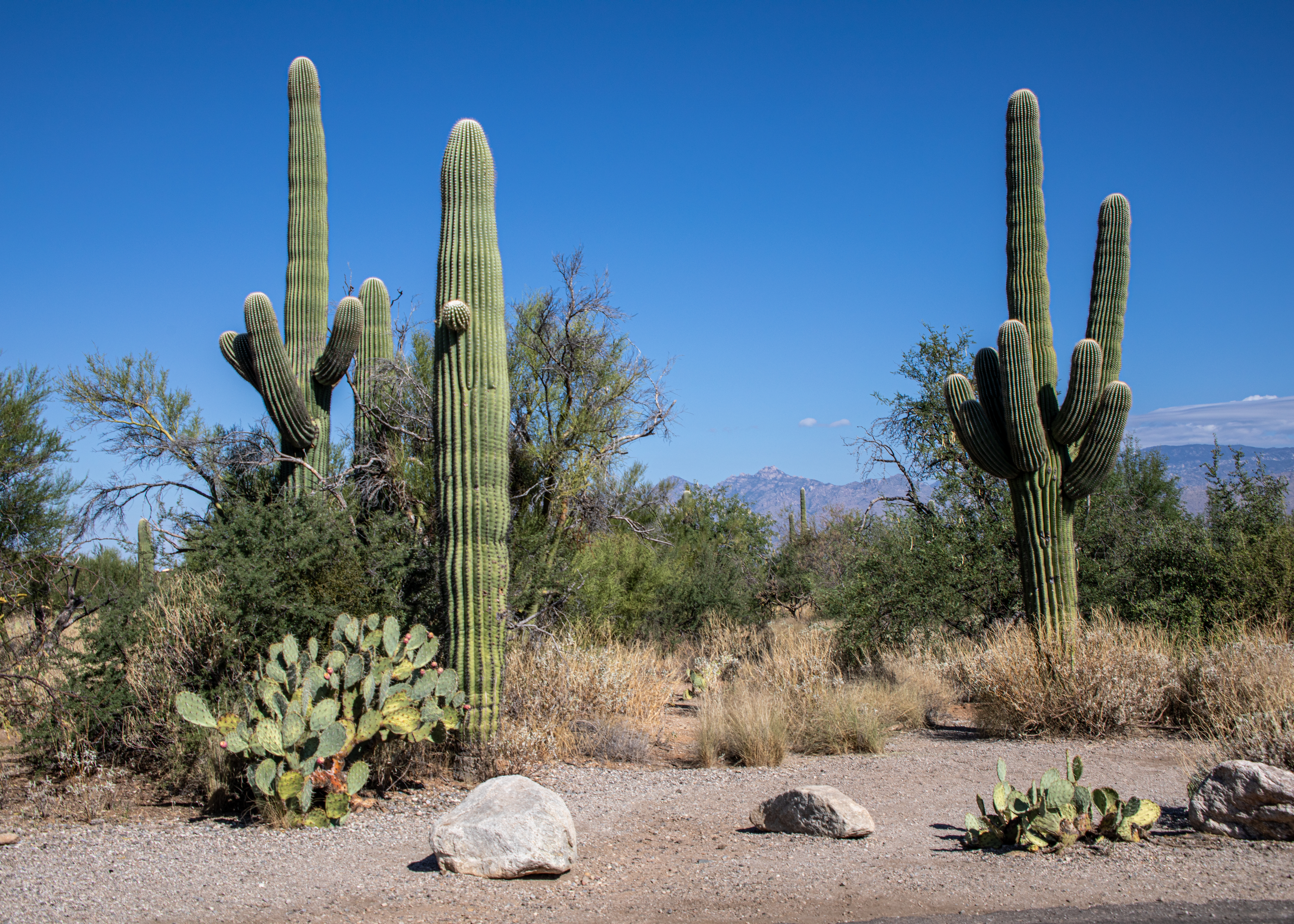
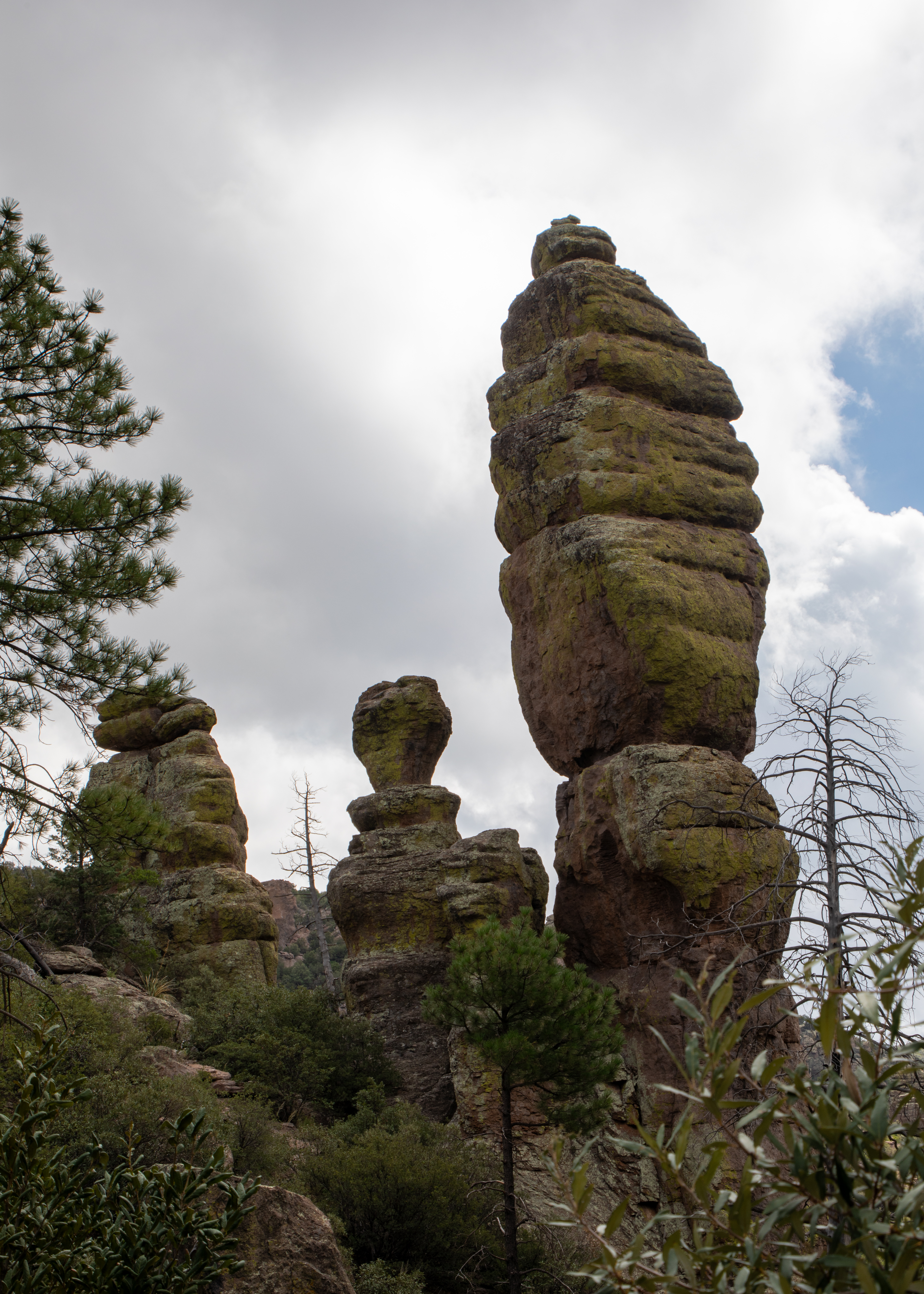
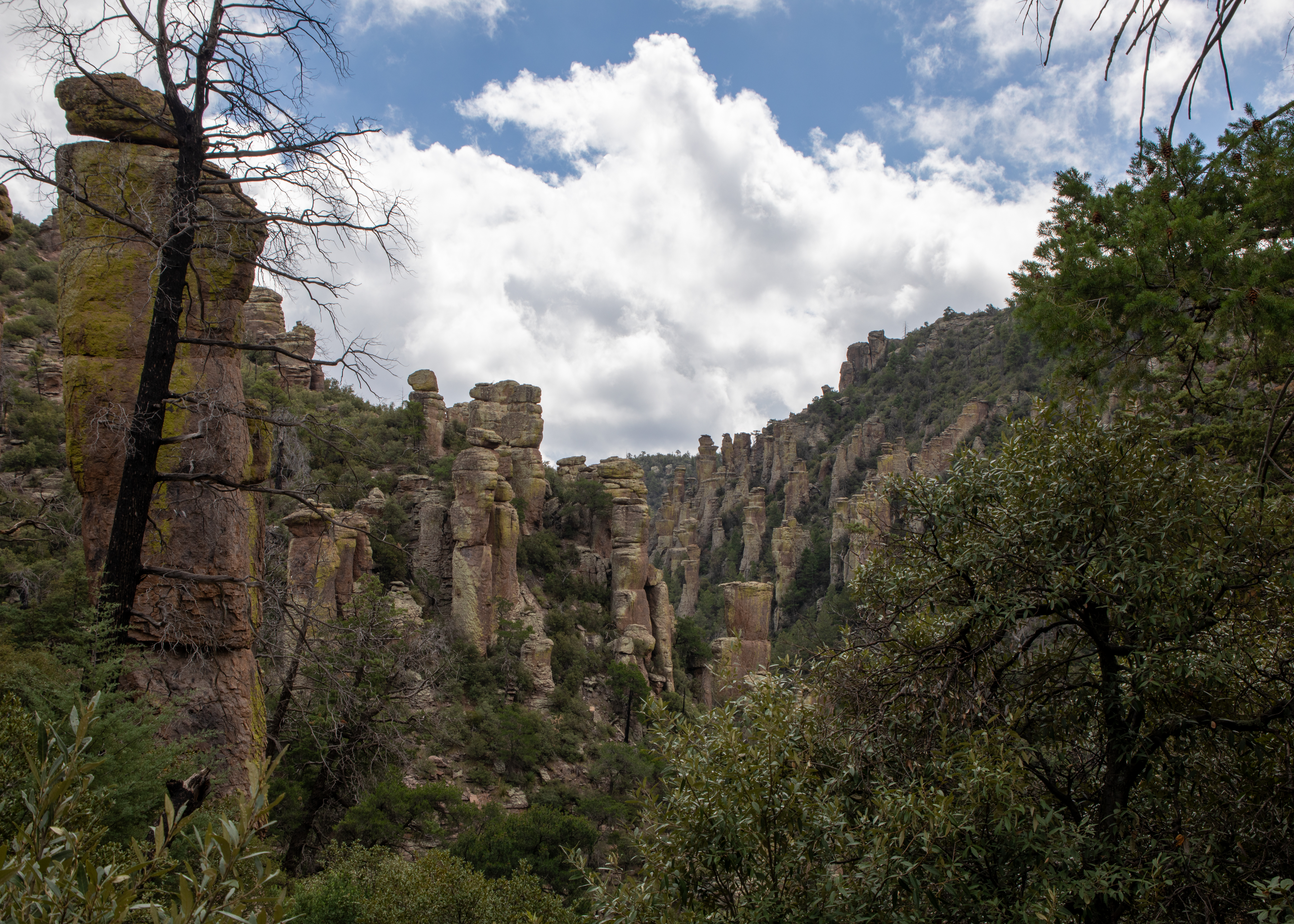
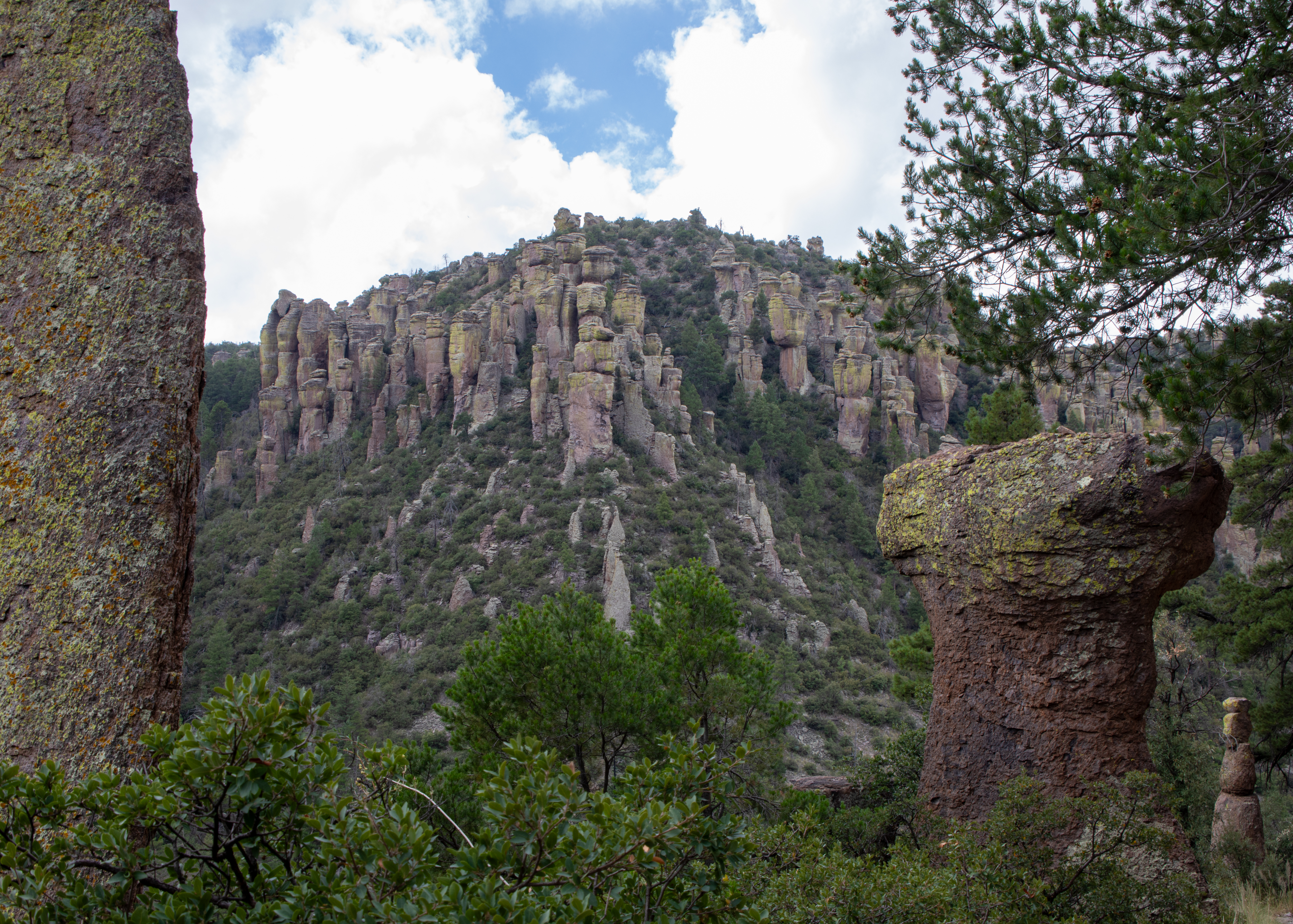
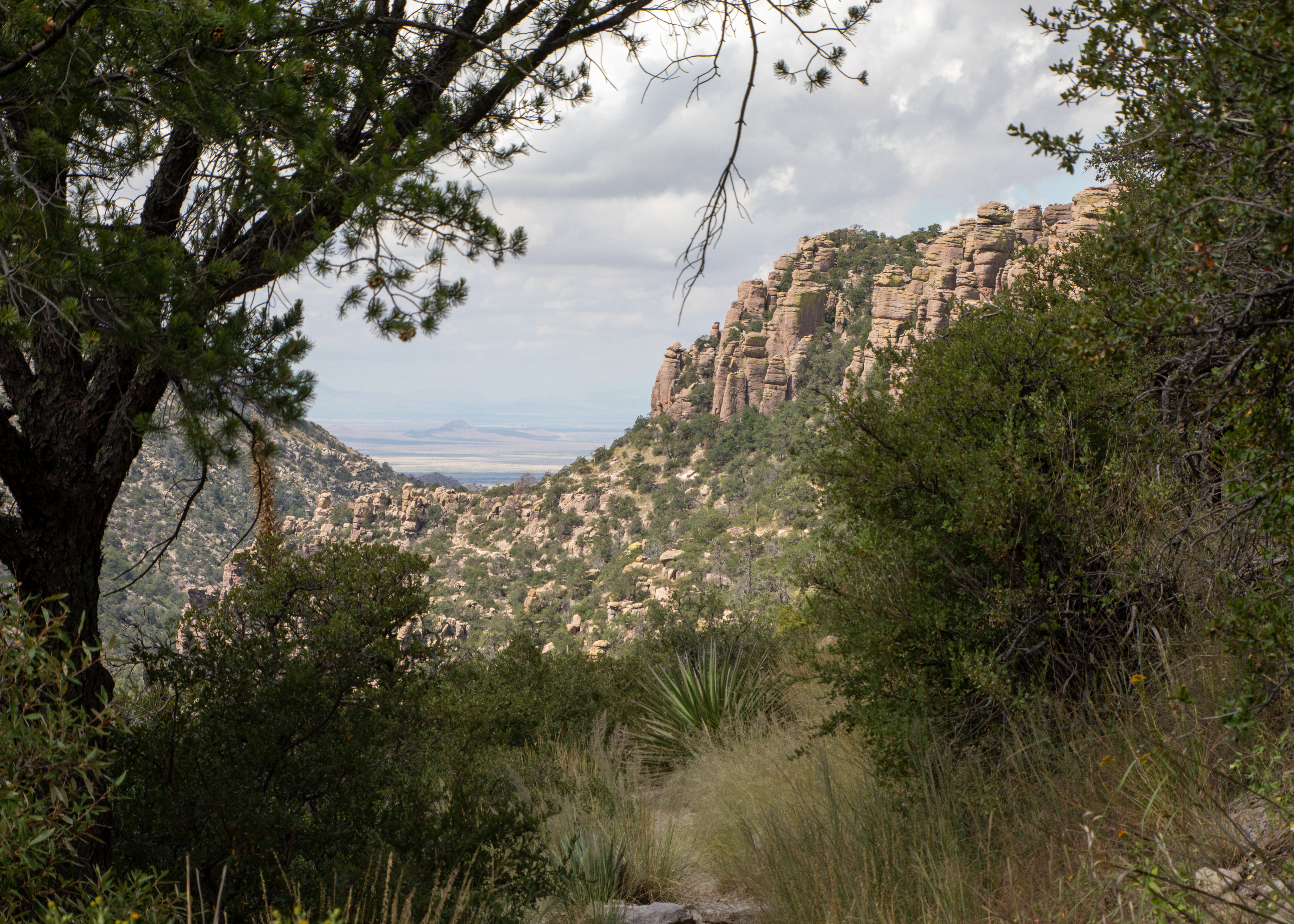
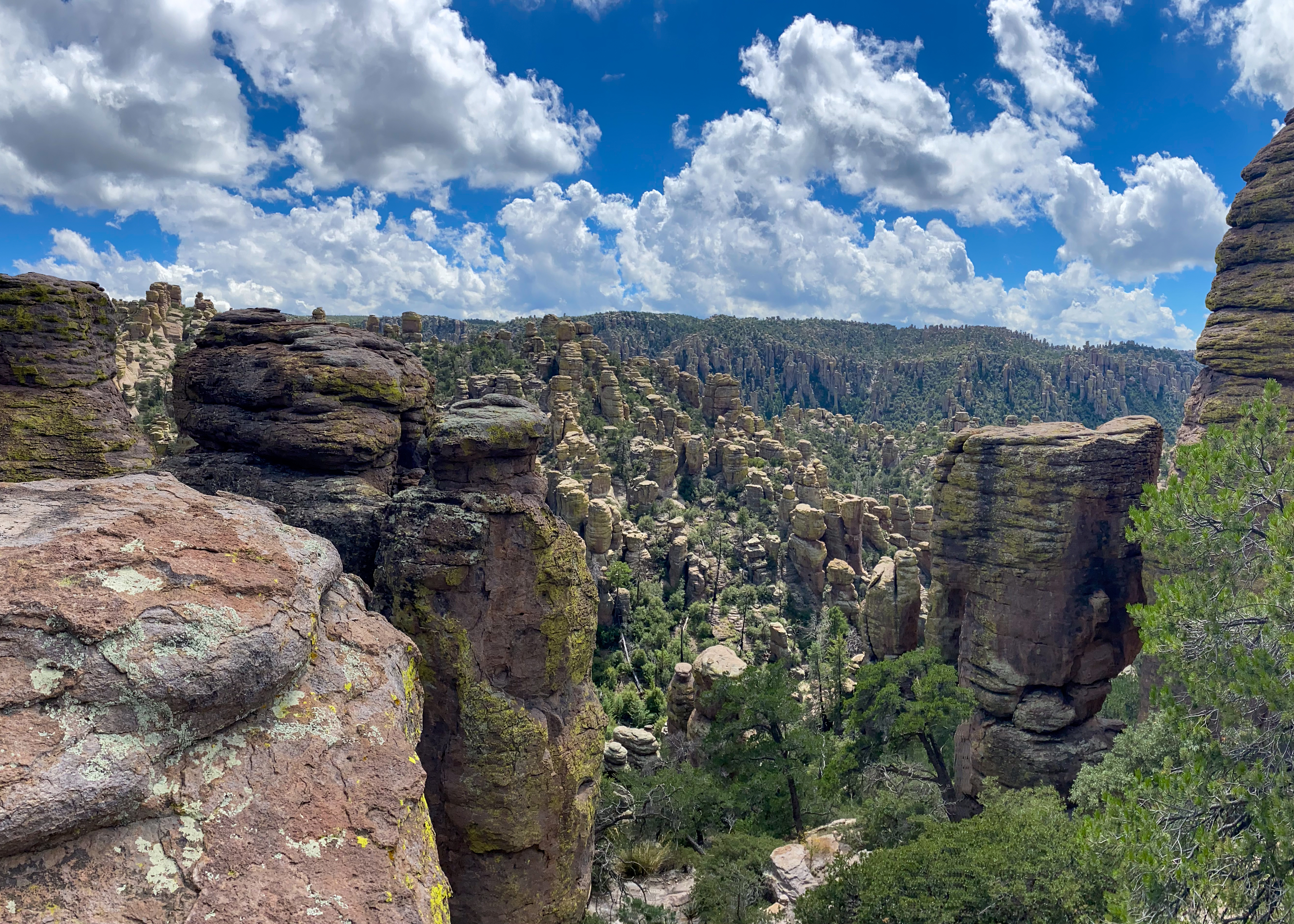
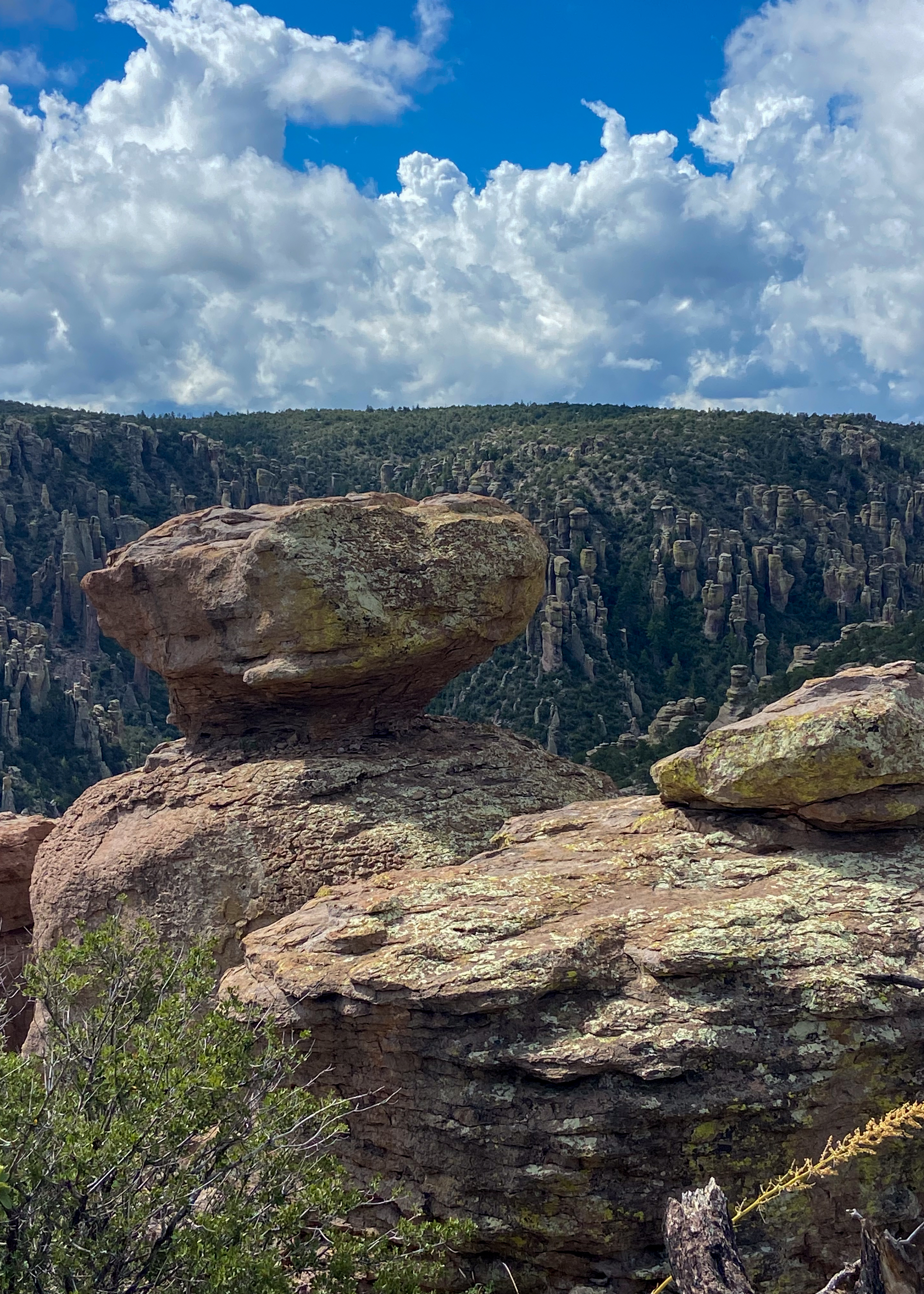
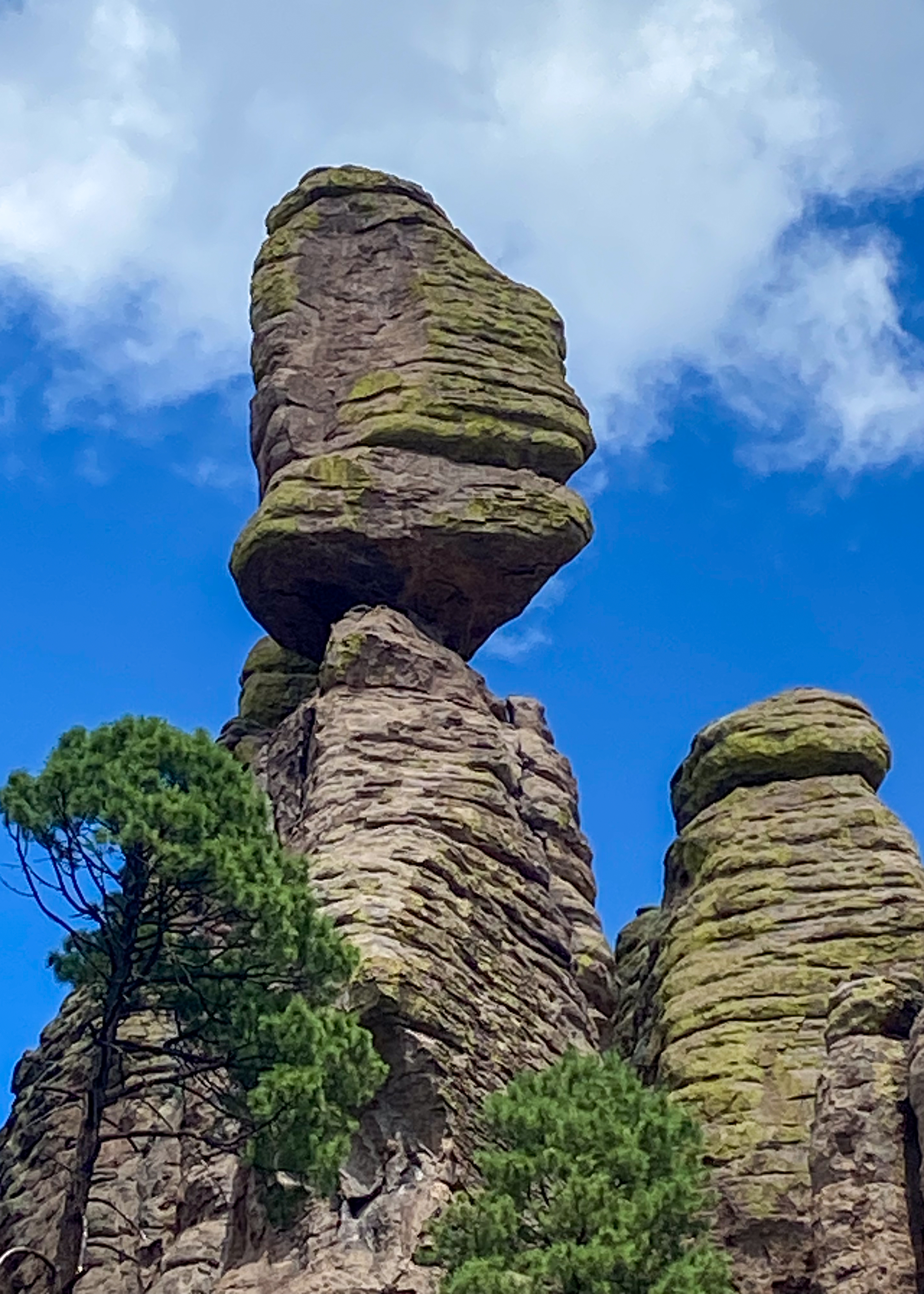
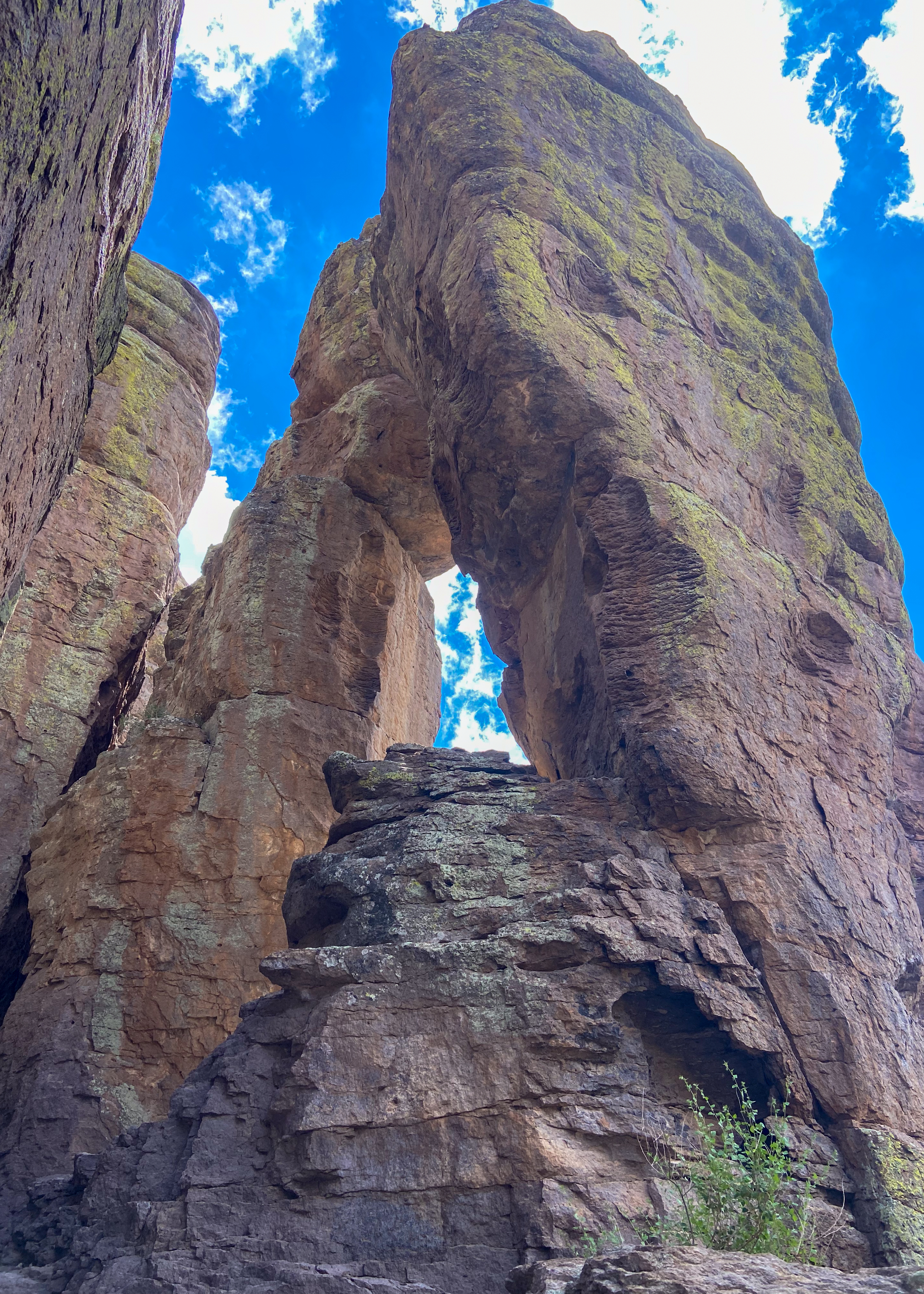
Looking forward to our next adventures in Richmond VA. and a tour of southern Japan.

2024 Cross Country Trip #11

Palo Duro Canyon State Park – The second largest canyon in the country lies in the heart of the Texas Panhandle. Palo Duro is a canyon system of the Caprock Escarpment. As one of the largest canyons in the United States, it is roughly 25–40 mi long and has an average width of 6 mi, but reaches a width of 20 mi at places.  It was formed by millions of years of water erosion by the Prairie Dog Town Fork of the Red River and the West Texas wind. With a descent of some 800 feet to the canyon floor and more than 16 miles of paved road, Palo Duro Canyon State Park offers fantastic scenic views, historic sites and markers, miles and miles of hiking and biking trails.

Cloudland Canyon State Park – Located on the western edge of Lookout Mountain, this is one of the most scenic parks in Georgia, offering rugged geology and beautiful vistas. The park straddles a deep gorge cut into the mountain by Sitton Gulch Creek, and elevation differs from 800 to 1,980 feet. The most spectacular view into the canyon is found along the West Rim Loop Trail a 5-mile hike which we took.

High Falls Waterfall – Just north of Cashiers, on the northern banks of Lake Glenville, the West Fork of the Tuckasegee River pours over a 100+ foot cliff, tumbling in a dramatic multi-tiered waterfall and plunging into a boulder-filled pool below. It’s one of North Carolina’s most beautiful falls.

We are now back in Florida and hope you enjoyed traveling with us. We visited 26 states and traversed over 11,000 miles visiting many new sights that we had missed on our 40 earlier trips across country. We still enjoy traveling the red and blue roads rather than Interstate highways. Stealing words from another traveler – keep on traveling – until next time be well.

2024 Cross Country Trip #10

City of Rocks gets its name from the volcanic rock formations found here. The park encompasses a one-square-mile area in the scenic Chihuahuan desert region of southwestern New Mexico at 5,200 feet. The “city” is a geologic formation of large, sculptured rock columns, or pinnacles, rising as high as 40 feet and separated by paths or lanes resembling city streets. These rocks were formed about 34.9 million years ago when a very large volcano erupted. Then, erosion over millions of years slowly formed the sculptured columns seen today, creating an otherworldly landscape. The rock formations at the park are so unique that they are only known to exist in six other places in the world.

Gila Cliff Dwelling National Monument – For thousands of years, nomads used the caves above Cliff Dweller Creek as temporary shelter. In the late 1200s, people of the agricultural Mogollon (Southern Ancestral Pueblo) culture made it a home. They built rooms, crafted pottery, and raised children in the cliff dwellings for one or two generations. By approximately 1300, the Mogollon had moved on, leaving the walls behind. Five naturally eroded alcoves contain the homes of the Tularosa Mogollon. About 42 rooms were constructed from local stone. All wooden beams seen in the dwellings are the originals. Tree-ring dates range from the 1260’s through the 1280’s.

2024 Cross Country Trip #9

Heading east we spent two days traveling Arizona starting at Saguaro National Park. Tucson, Arizona is home to the nation’s largest cacti. The saguaro (suh-waa-row), the giant cactus, has been an iconic symbol of the American Southwest for ages. These majestic beings are easily recognized by their size and structure, sometimes reaching 50 feet tall.

Bisbee was once the largest city in Arizona, bolstered by a thriving mining economy. During almost a century of mining, 8 billion pounds of copper, 102 million ounces of silver, and 2.8 million ounces of gold along with millions of pounds of zinc, lead, and manganese were produced. By 1974 ore reserves had been depleted and December brought the announcement of the impending closure of mining operations in Bisbee. Phelps Dodge curtailed open pit operations that year and ceased underground operations in 1975.

Mosquitoes, flies and more can make a comfortable summer day very uncomfortable. Back in 1912, the community of Bisbee decided to gamify their bug response by offering rewards for the most avid flyswatters. After multiple outbreaks of typhoid, Bisbee, Arizona decided it was tired of these bugs showing up in significant numbers and making people sick. For the entire month of August 1912, the town encouraged residents to catch as many “advance agents of pestilence” end quote as they could. Whoever had smacked and/or caught the most flies at the end won a prize. That winner was Richard Phillips, who brought in around half a million former insects and won… ten bucks.

And if you are up for it the most unique physical fitness challenge (or friendly fitness walk) in the USA! Bisbee 1000 The Great Stair Climb is arguably one of the most unusual and challenging events in the world. The 4.5-mile course features nine staircases (over 1000 total steps) connected by winding roads.

Patagonia (the jewel of the Sonoita valley so says National Geographic Guide to Small Town Escapes —NOT) is a hamlet that rests between the Santa Rita Mountains and the Patagonia Mountains. Set among rich foothills, valleys, and towering trees, Patagonia has been called the “Jewel” because of its natural beauty. Since early days, Patagonia’s oak grasslands, at over 4,000 feet have provided excellent climate and terrain for cattle ranching, and the Patagonia Mountains, filled with rich ore bodies, have attracted miners. Too bad today it was a wasted 200-mile trip for us.

Tombstone AZ – otherwise known as the “Town too Tough to Die” is the home of the infamous Gunfight at the OK Corral, Boot Hill Graveyard, and the World’s Largest Rose Bush.  Tombstone, AZ boasts of many shops, gunfight shows, re-enactments, and museums.  Just a bad tourist attraction today.

Chiricahua National Monument is recognized for its rock gardens with pinnacles that reach hundreds of feet skyward. This is the homeland of the Chiricahua Apache, who relied on the natural resources in the area as far back as the 1400s. The stories of chiefs Mangas Coloradas and Cochise as well as medicine-man-turned-warrior Geronimo reverberate throughout the canyons here. Deer, bears, and mountain lions inhabit the area, and the annual sandhill crane migration is also impressive. The 8-mile Bonita Canyon Drive begins on the valley floor and rises into mountains where balanced rocks seem to defy gravity. The drive ends at Massai Point, the pinnacle of this amazing sky island with 360-degree views of the rock valleys below.

We hiked the Echo Canyon Loop starting at the Point –3.3-miles of connecting trails. The route winds through rock formations including the Grottoes and Wallstreet to the densely wooded Echo Park. Hailstone Trail is fairly level, and due to its southern exposure, hotter and dryer. You can see desert plants: yuccas, agave’s, prickly pear, and hedgehog cactus. Ed Riggs Trail takes you back to the trailhead among large pine trees.

2024 Cross Country Trip #8

We spent a week in California visiting with family and friends, but we still got some hiking and sightseeing.

Watson Lake – off the Tahoe Loop trail

Bodie Ghost Town – Bodie State Historic Park is a genuine California gold-mining ghost town. You can walk down the deserted streets of a city that once had around 2,000 structures and a population of roughly 8,000 people. 

The town is named for W.S. Body (or Bodey), who had discovered small amounts of gold in the hills north of Mono Lake. In 1875, a mine cave-in revealed a rich vein of ore, which led to the buying of the mine by the Standard Company in 1877. People flocked to Bodie and transformed it from a town of a few dozen to a boomtown. In 1881, Bodie’s “bust” began and the town’s population declined drastically. The town’s population continued to decline until only a few remained. Mining officially ceased in Bodie in 1942, the final nail in the coffin for Bodie’s township.  Two large fires in 1892 and 1932 reduced the town’s remaining structures down to less than 10% of the 2,000 structures that once stood. 

Only a small part of the town survives. Interiors stayed as they were left and stocked with goods. Designated as a National Historic Site and a State Historic Park in 1962, the remains of Bodie are being preserved in a state of “arrested decay.”

Yosemite National Park – Yosemite National Park has the distinction of being the first scenic natural area to be set aside by the United States for public gain and appreciation of landscape beauty. Yosemite Valley and Mariposa Grove were the 1864 birthplace of the national park idea.

Shaver Lake – Shaver is hugged by pine forest in the granite-studded Sierra Nevada Mountains. Shaver is located up in the Western Sierra Mountains at about 5600 elevations outside Fresno California and is part of the Southern California Edison power project that feeds into the Big Creek power station.

2024 Cross Country Trip #7

Wyoming, Montana, Idaho, Oregon

The final leg of our western swing started with a drive along Big Horn Scenic Highway, in Wyoming. A 58-mile paved highway over the crest of the Big Horn Mountains, the byway winds past thick forest, lush meadows, waterfalls, and deep canyons. Stretching from the Powder River Basin to the Big Horn Basin, the Big Horn Byway follows US 14 from the west outside Greybull.

Beartooth Scenic Byway – This stretch of U.S. Highway 212 between Red Lodge in Montana and Cooke City, zigzags across the Montana-Wyoming border through a series of steep switchbacks, rising from about 5,000 feet to 10,947 feet at the Beartooth Pass. It’s so high that it’s closed in winter due to snow, fortunately for us we completed our crossing before September 24th when the byway was closed for a few days do to 5 inches of snow and 4-foot drifts.

Craters of the Moon Idaho – Craters of the Moon is a vast ocean of lava flows with scattered islands of cinder cones and sagebrush. We explored this unique landscape by driving the historic Loop Road, stopping in at the visitor center, hiking up a volcano, and exploring a lava tube cave.  The scenic Loop Road is nine miles round-trip. Volcanic activity has occurred on the Snake River Plain for many millions of years. The much younger lava flows at Craters of the Moon were formed by eruptions that started only 15,000 years ago and represent the last period of active volcanism in the area. The most recent activity occurred approximately 2,100 years ago. Craters of the Moon is considered dormant, not extinct.

Sawtooth Highway In the mere length of 115 miles, the Sawtooth Scenic Byway takes the traveler from volcanic sagebrush lands on north into awe-inspiring high snow-covered mountain peaks. Unfortunately, because of smoke from wildfires we did not get to see much. We were hoping to get to the top of Sawtooth and head south on the western slope but we were stopped by park rangers since the fire had jumped our planned route. We had to back track on our original approach and head back to Boise. The good news we could spend more time with our kids and grandkids.

2024 Cross Country Trip #6

Continuing west we spent two days in South Dakota travelling through the Badlands, Custer State Park, and Spearfish Canyon.

Badlands National Park spans over 240,000 acres of rugged terrain and dramatic landscapes. Known for its sharply eroded buttes, pinnacles, and spires, the park offers an awe-inspiring vista at every turn. Surrounded by sprawling grasslands, this destination feels both otherworldly and profoundly connected to nature. Badlands National Park is not just a haven for breathtaking landscapes; it’s also a paleontological goldmine. The park’s eroded cliffs uncover a rich array of fossils, including ancient mammals like rhinoceroses and sabretooth cats.

Badlands Loop Road: Driving this road is the park’s most popular activity going through the north unit – it provides stops to get out and explore the major highlights and trails.

We explored a few standout sites:

  • Panorama Point: Offers sweeping views of the vast landscape.
  • Yellow Mounds Overlook: Features colorful geological formations that are a photographer’s dream. (YES)
  • Fossil Show Trail: Provides a glimpse into the past with fossil displays.
  • Door, Window and Notch Trails: These three short hikes, give you an overall sense of the terrain.
  • Pinnacles Overlook: Is a scenic overlook on the west side of the park offers one of the best views of that area.

Custer State Park:

One of the few remaining wild places in the country.  An area of tall pines, rolling hills, grasslands, and massive granite spires. You can see bison from the Wildlife Loop Road. We experienced pigtail bridges, views of Mount Rushmore, tunnels and giant granite formations from The Peter Norbeck Scenic Byway, a 70 mile loop via the Iron Mountain Road and Needles Highway.

Spearfish Canyon Scenic Byway

The 20-mile byway follows the pine and spruce-covered banks of Spearfish Creek. Highlighted by Bridal Veil Falls.

Vasquez Rocks Natural Area

On Friday Feb. 12th in the morning we decided to explore Vasquez Rocks Natural Area in Agua Dulce Ca. about 45 miles from Pasadena. Continue reading “Vasquez Rocks Natural Area”

Hiking Point Mugu State Park

On Saturday April 16, 2016 we explored Point Mugu SP from above – in the past we have driven through or enjoyed the beach and ocean views from sea level – now for a different perspective. Continue reading “Hiking Point Mugu State Park”

Blog at WordPress.com.

Up ↑