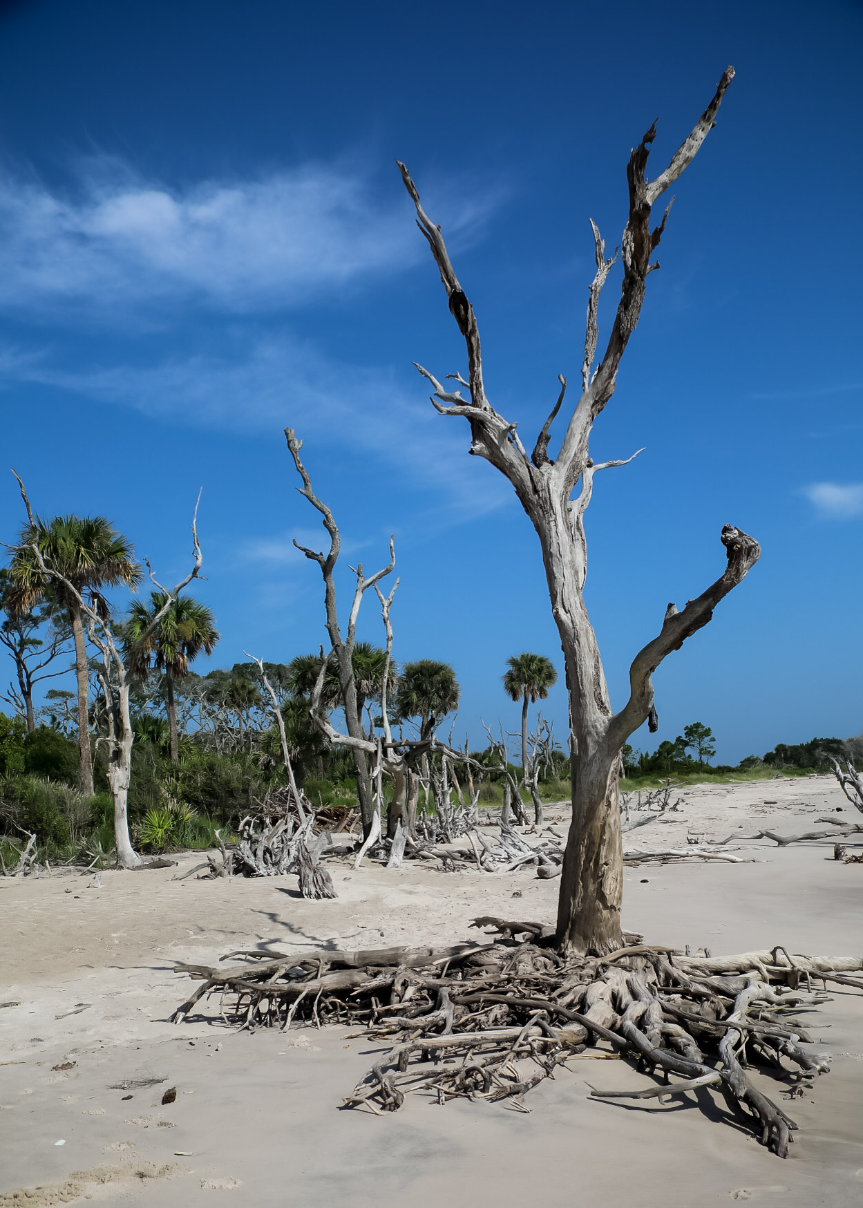
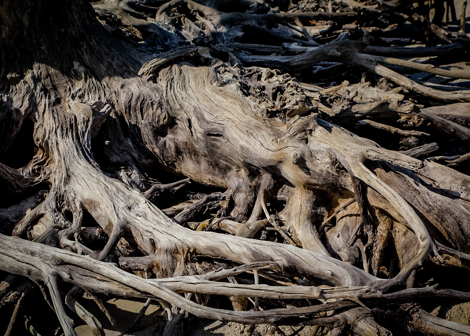
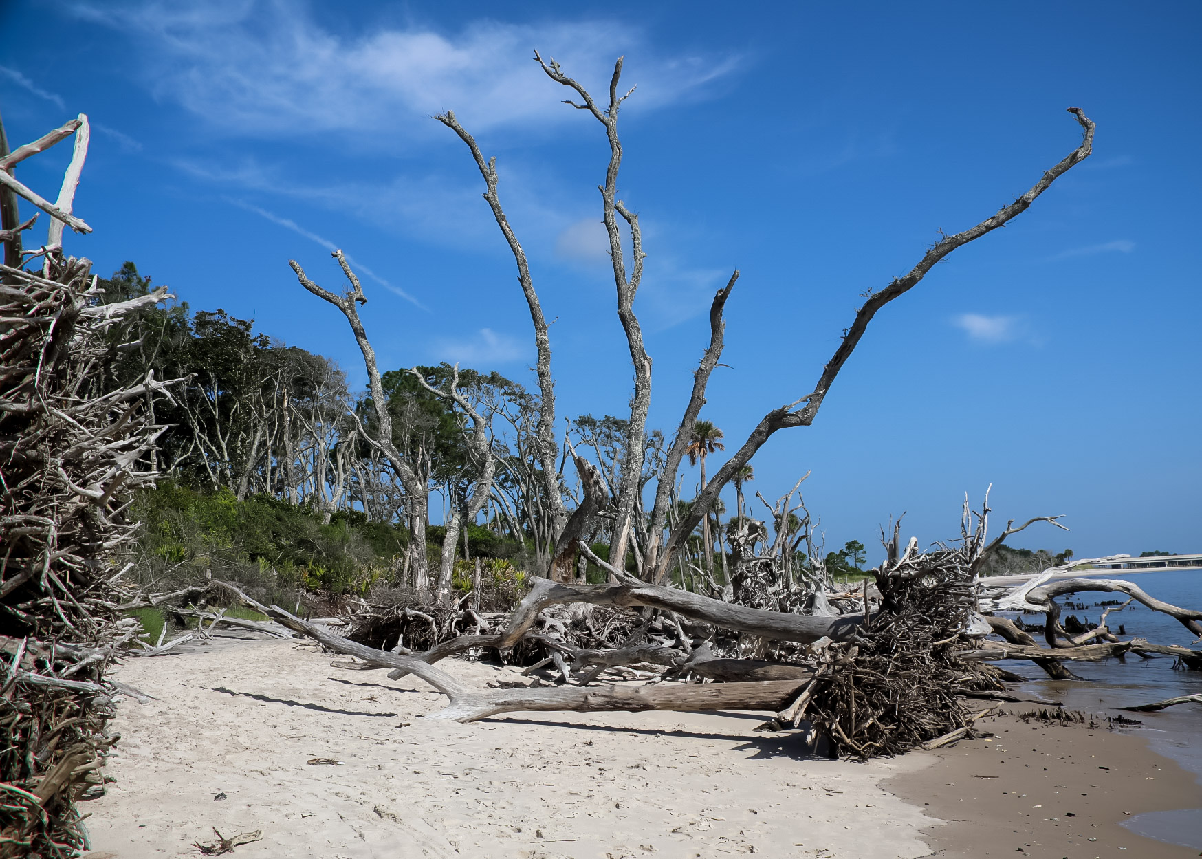
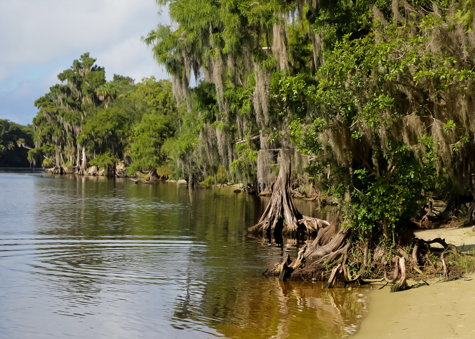
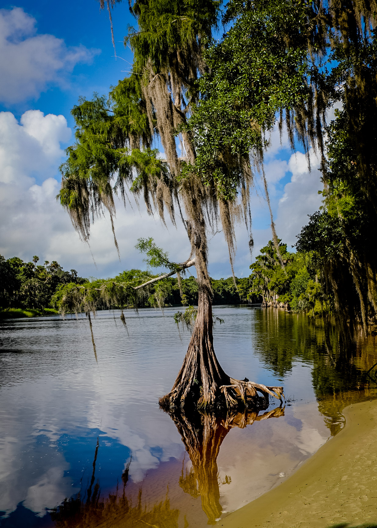
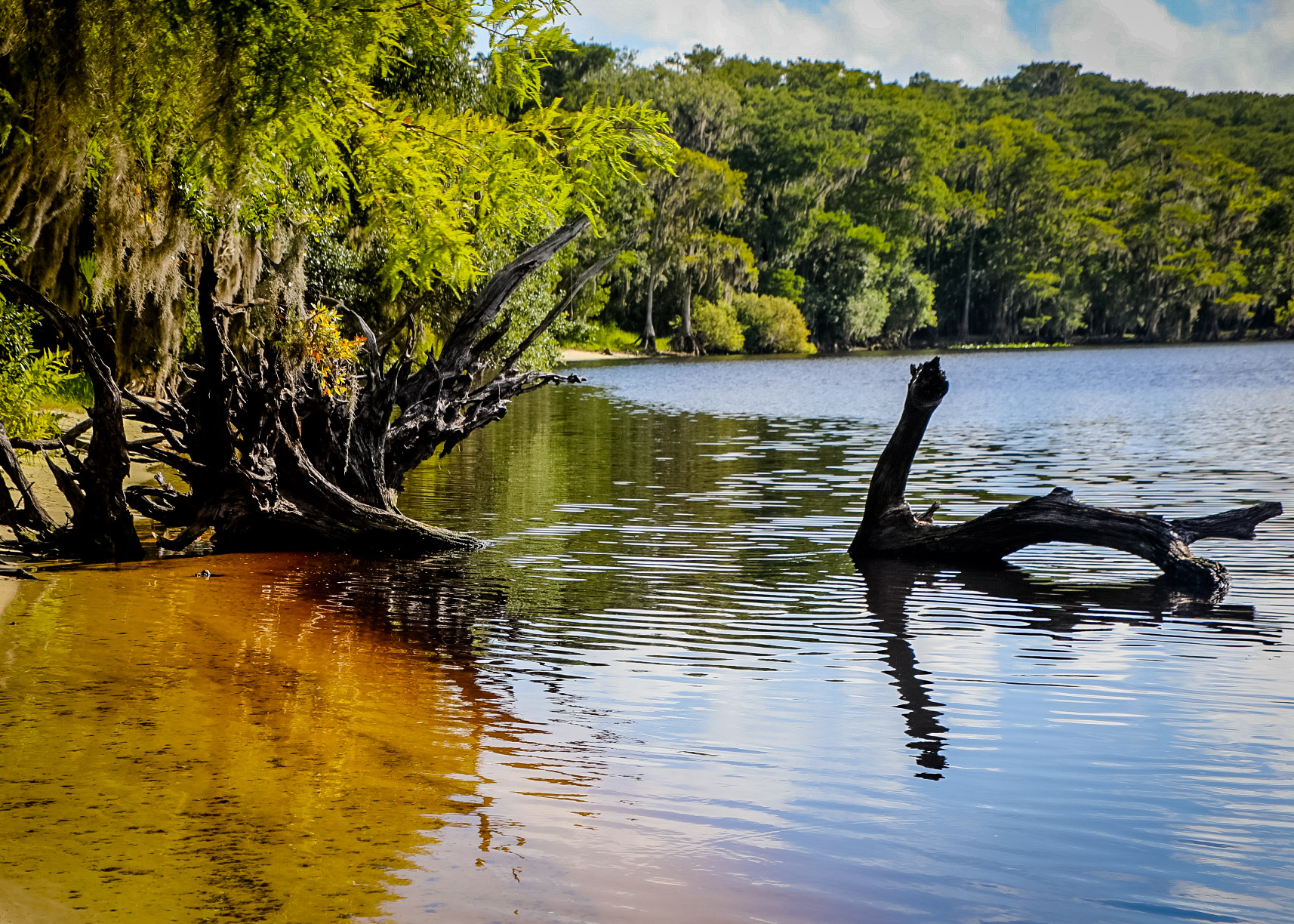
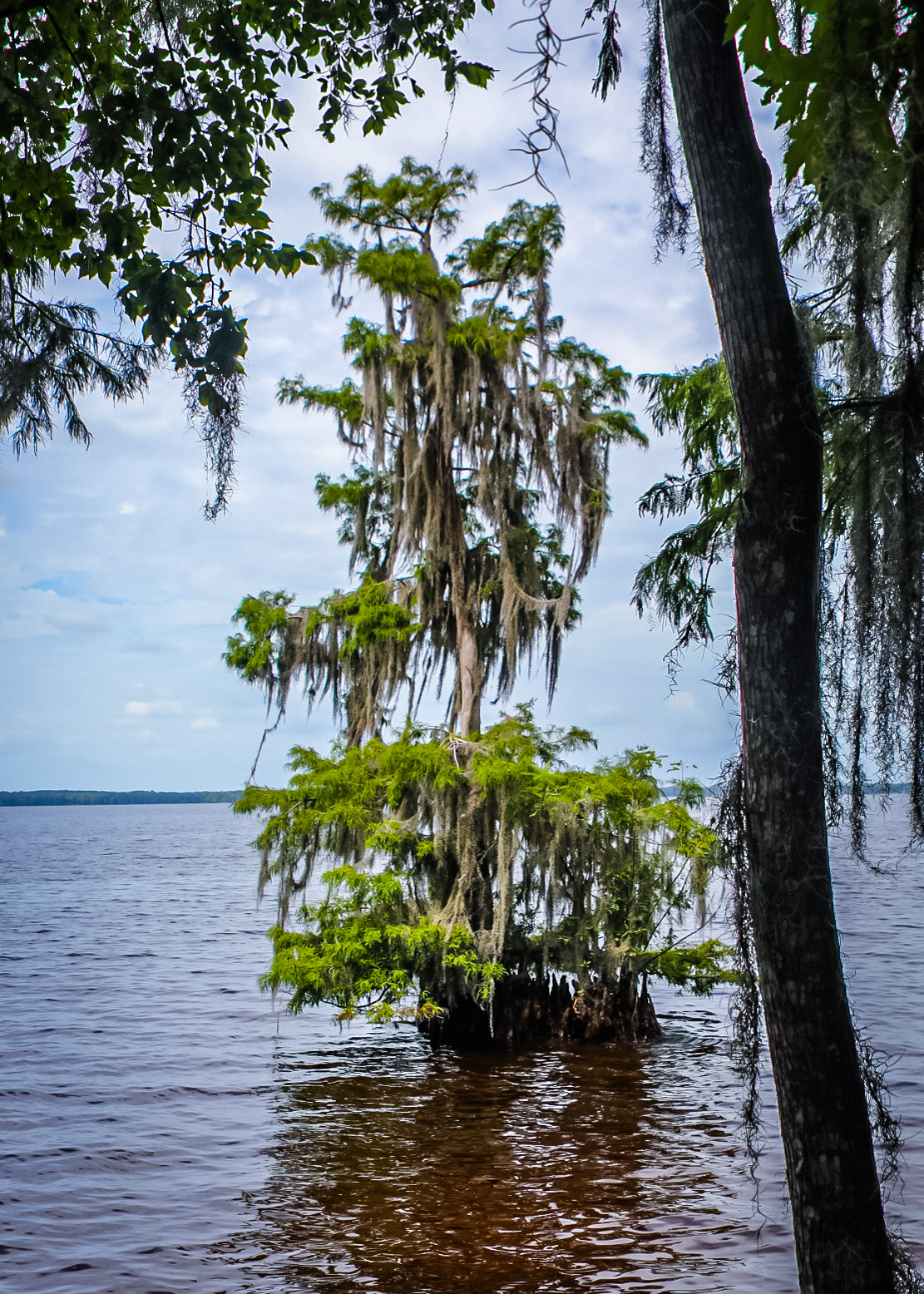
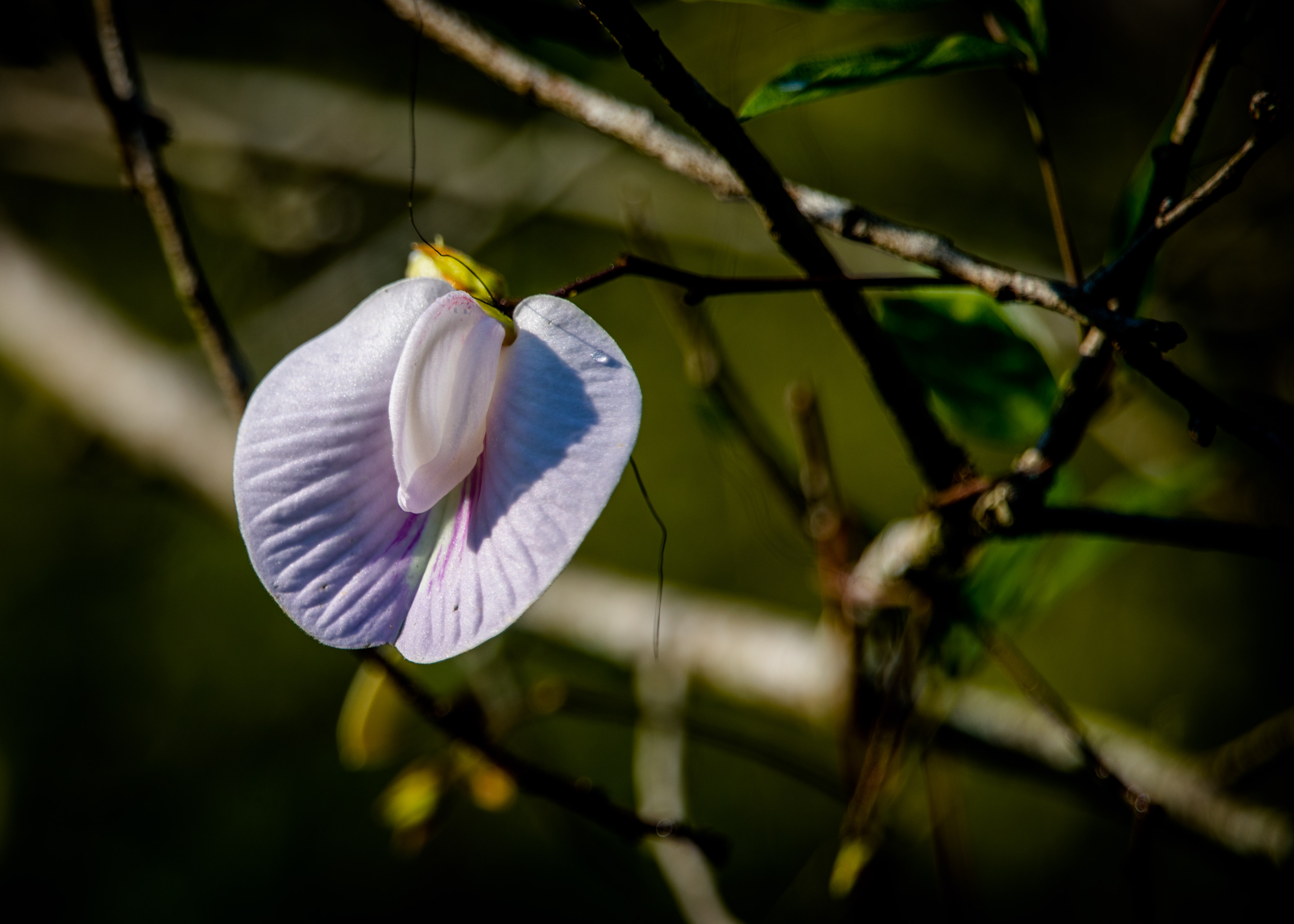
Little Talbot Island is one of a handful of undeveloped barrier islands remaining in Northeast Florida. Boasting more than 5 miles of pristine beaches and 3 miles of bike trails, Little Talbot offers untouched natural beauty and diverse ecosystems. There is, of course, the white sand and rolling surf typical of many high energy coasts. But there is also the eroding sun-bleached roots and fallen trunks of cedar and palm that create a linear tapestry of natural sculptures.

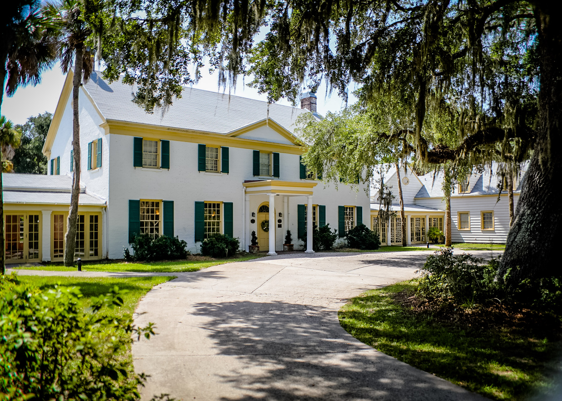
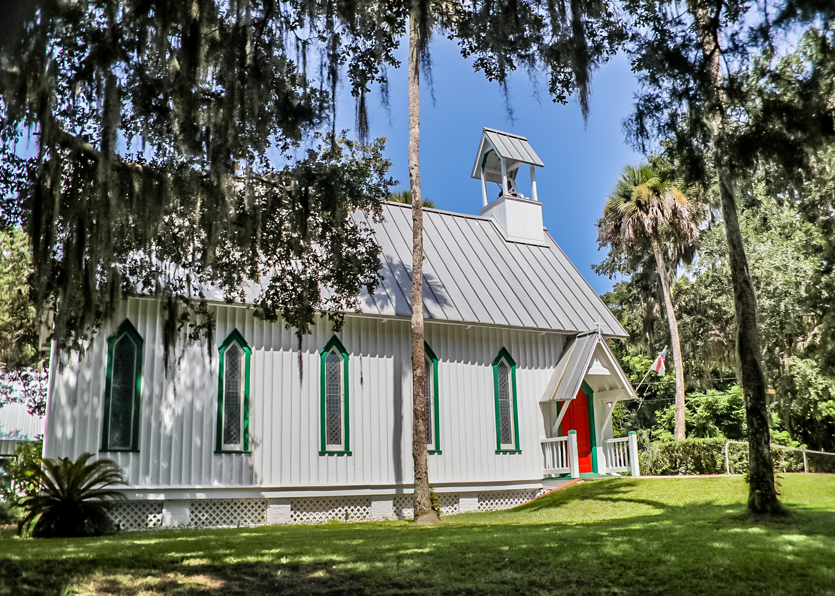
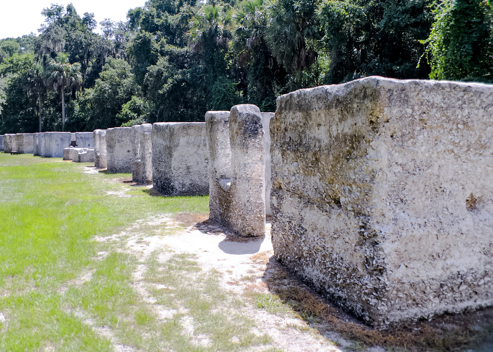
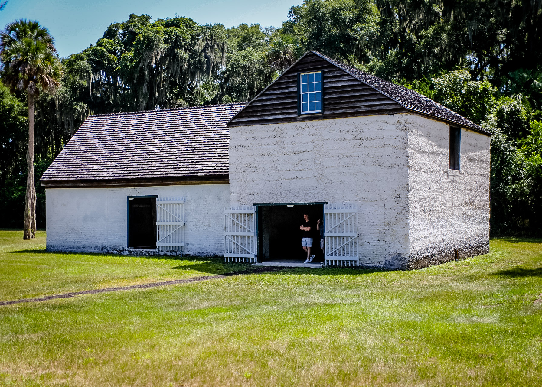
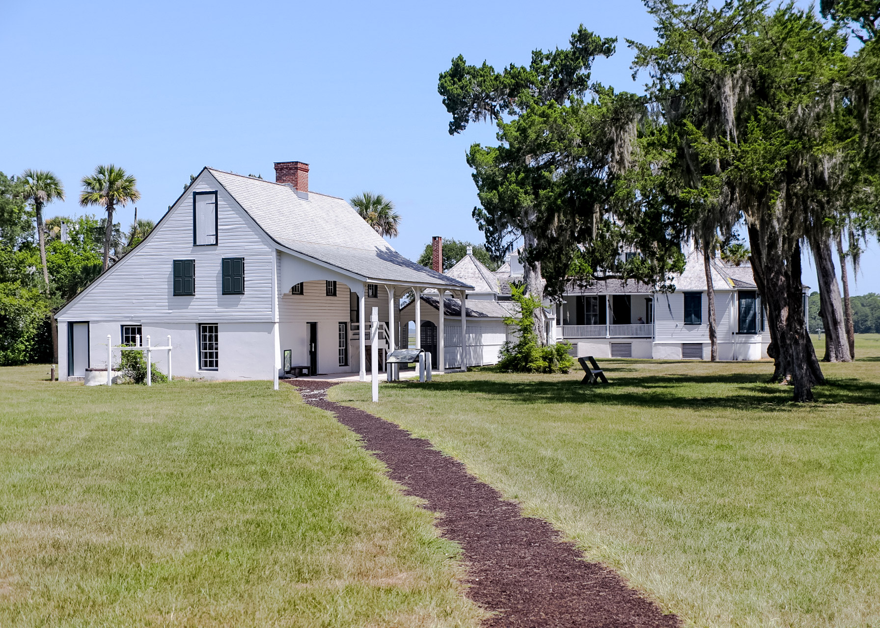
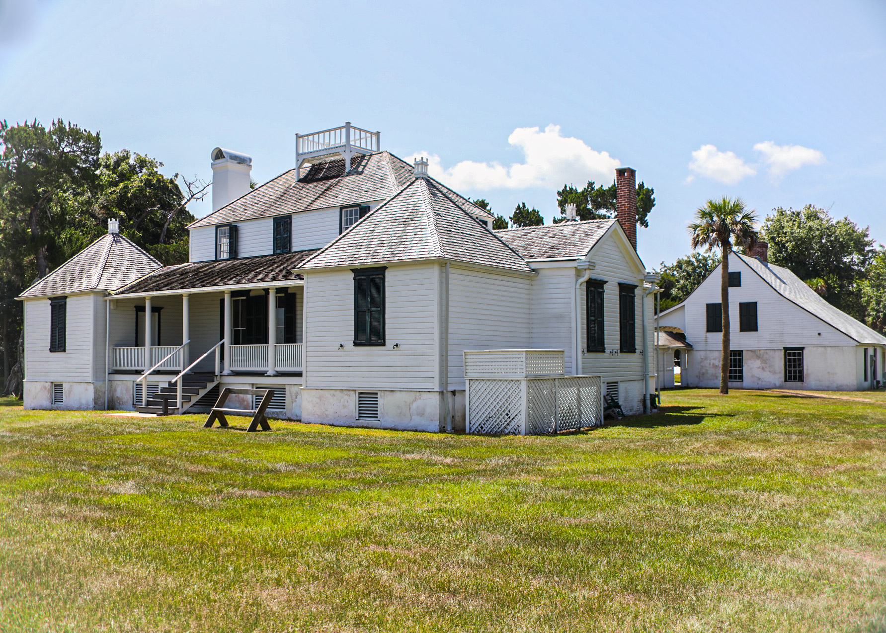
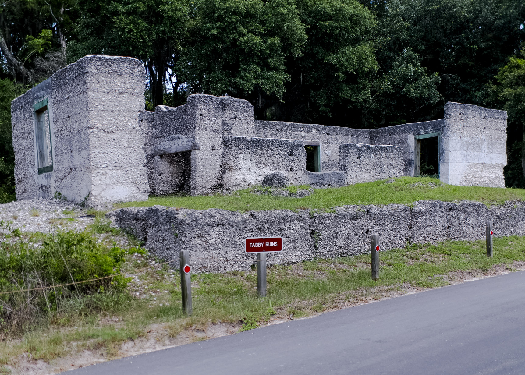
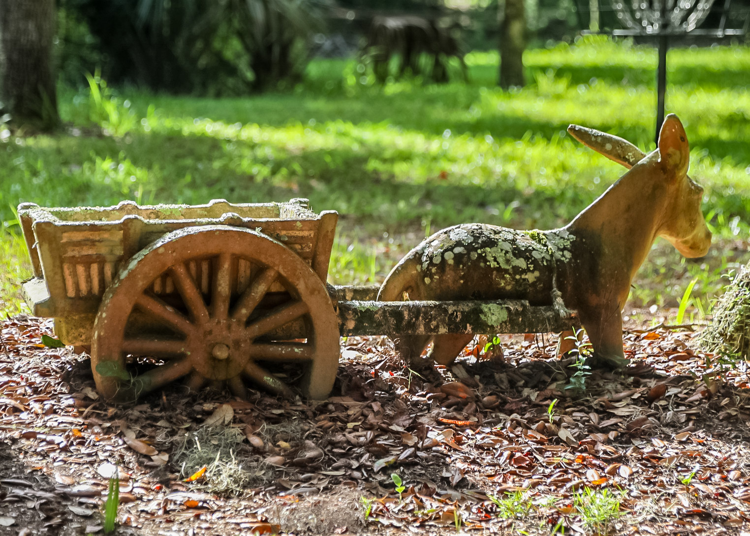
Fort George Island Cultural State Park – A site of human occupation for over 5,000 years, Fort George Island was named for a 1736 fort built to defend the southern flank of Georgia when it was a colony. The park includes the Riabault Club (a private club for well to do Northerns visiting in winters), St. George Episcopal Church, Kingsley Plantation and slave quarters and ruins of a Tabby constructed house.
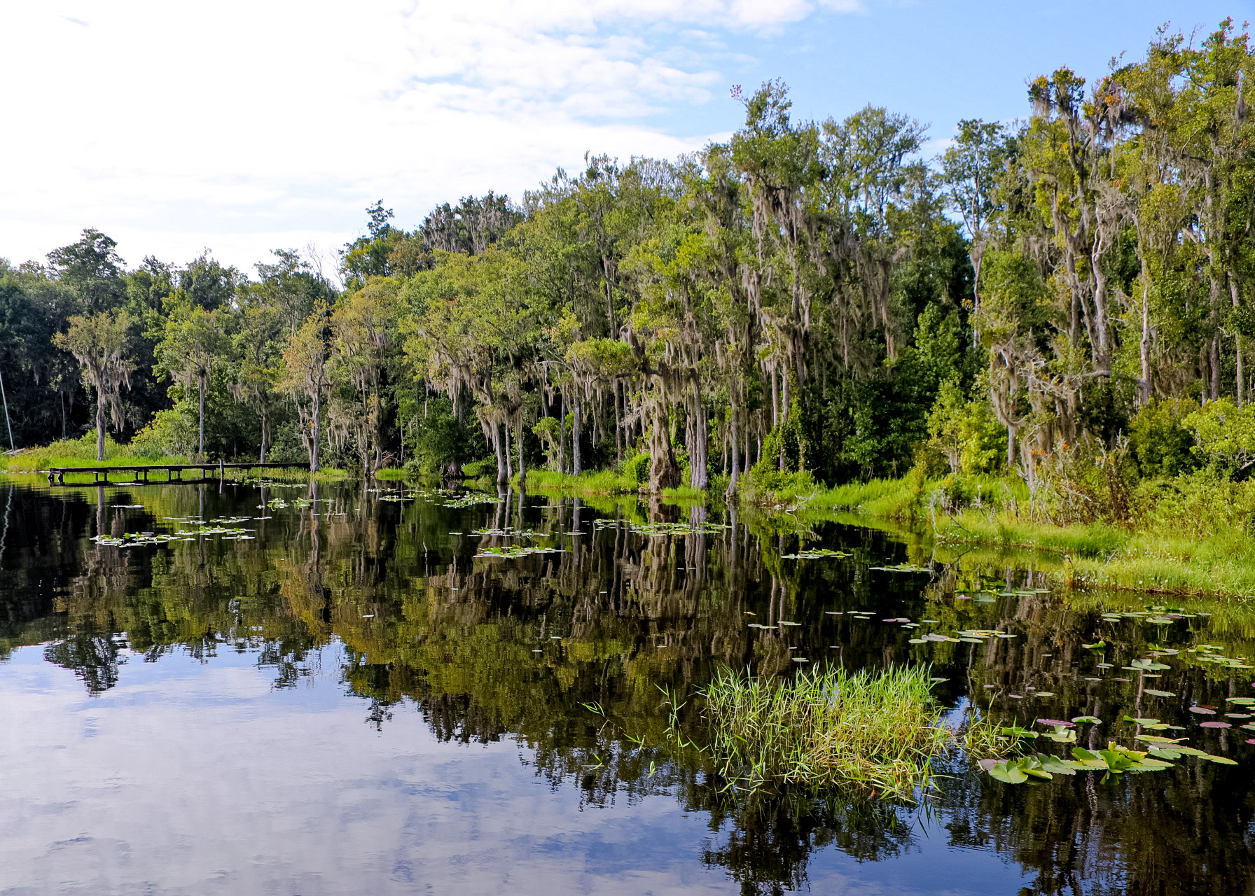
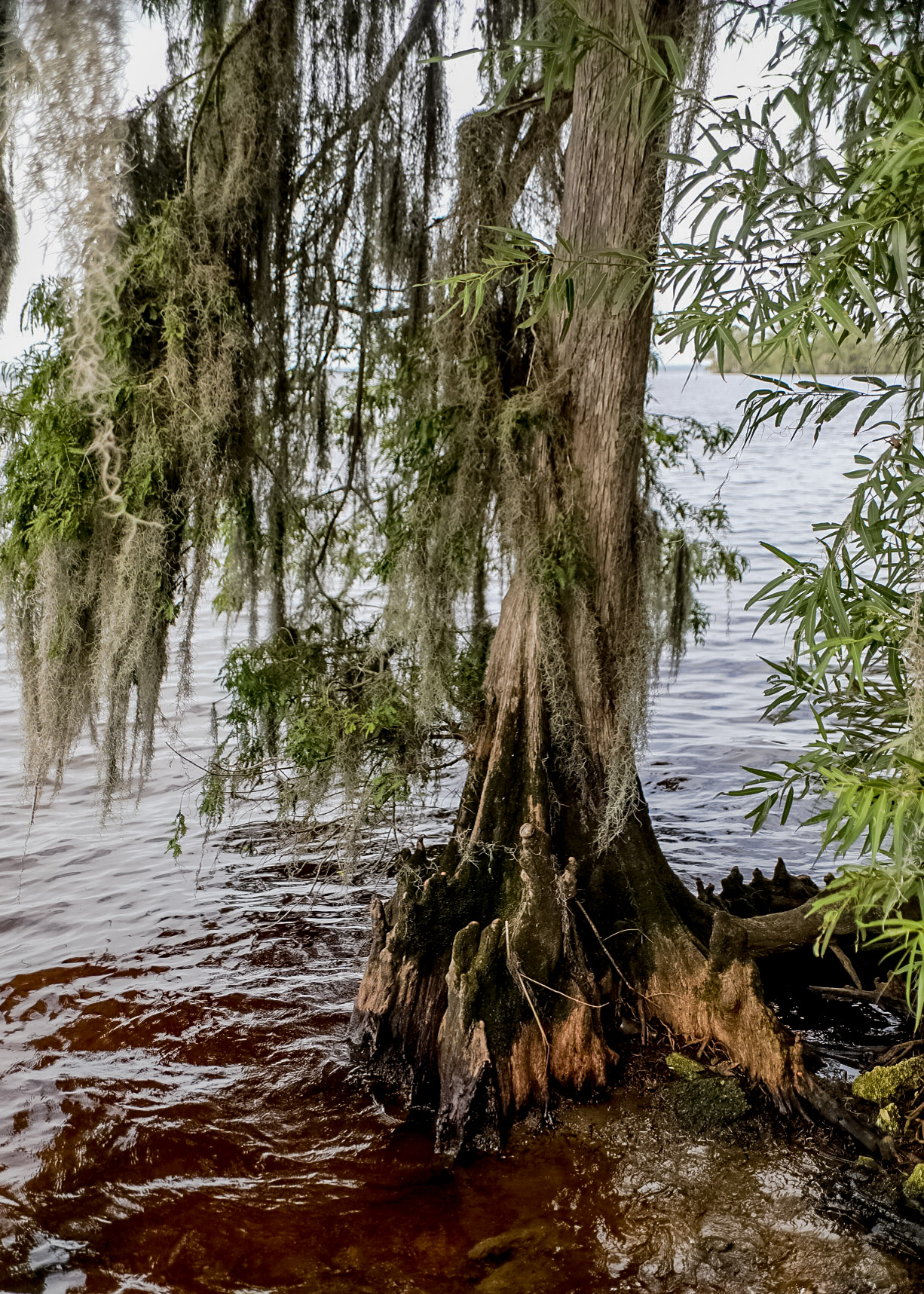
The 150-acre Hickory Bluff Preserve overlooks the St. Johns River and contains many natural communities including mesic and scrubby flatwoods, oak hammock, cypress domes, floodplain swamp, and wet prairie.
Etoniah Creek State Forest contains 8,902 acres of various natural communities. Etoniah Creek State Forest is named after Etoniah Creek, a stream that travels 2.5 miles through the eastern portion of the forest.

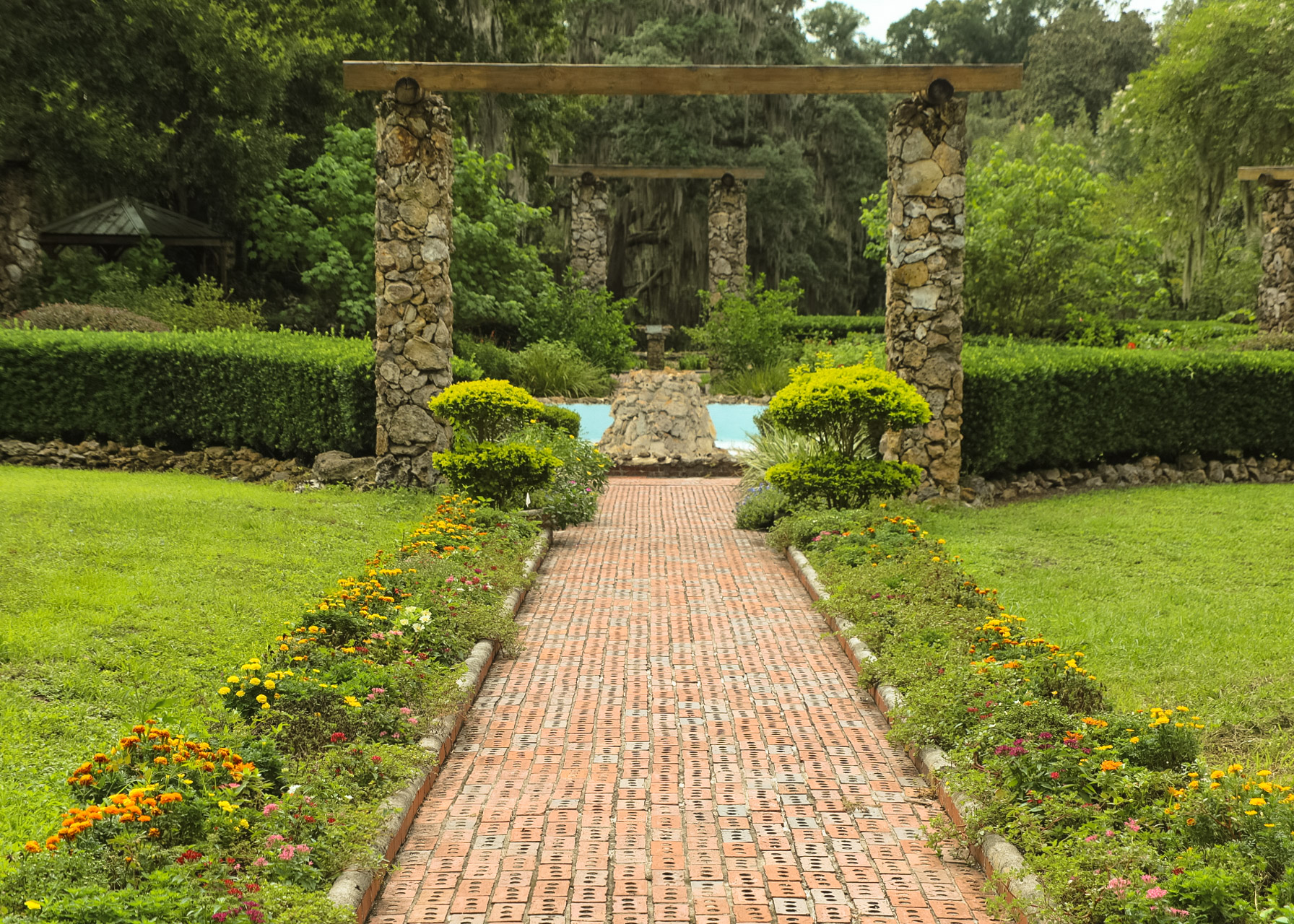
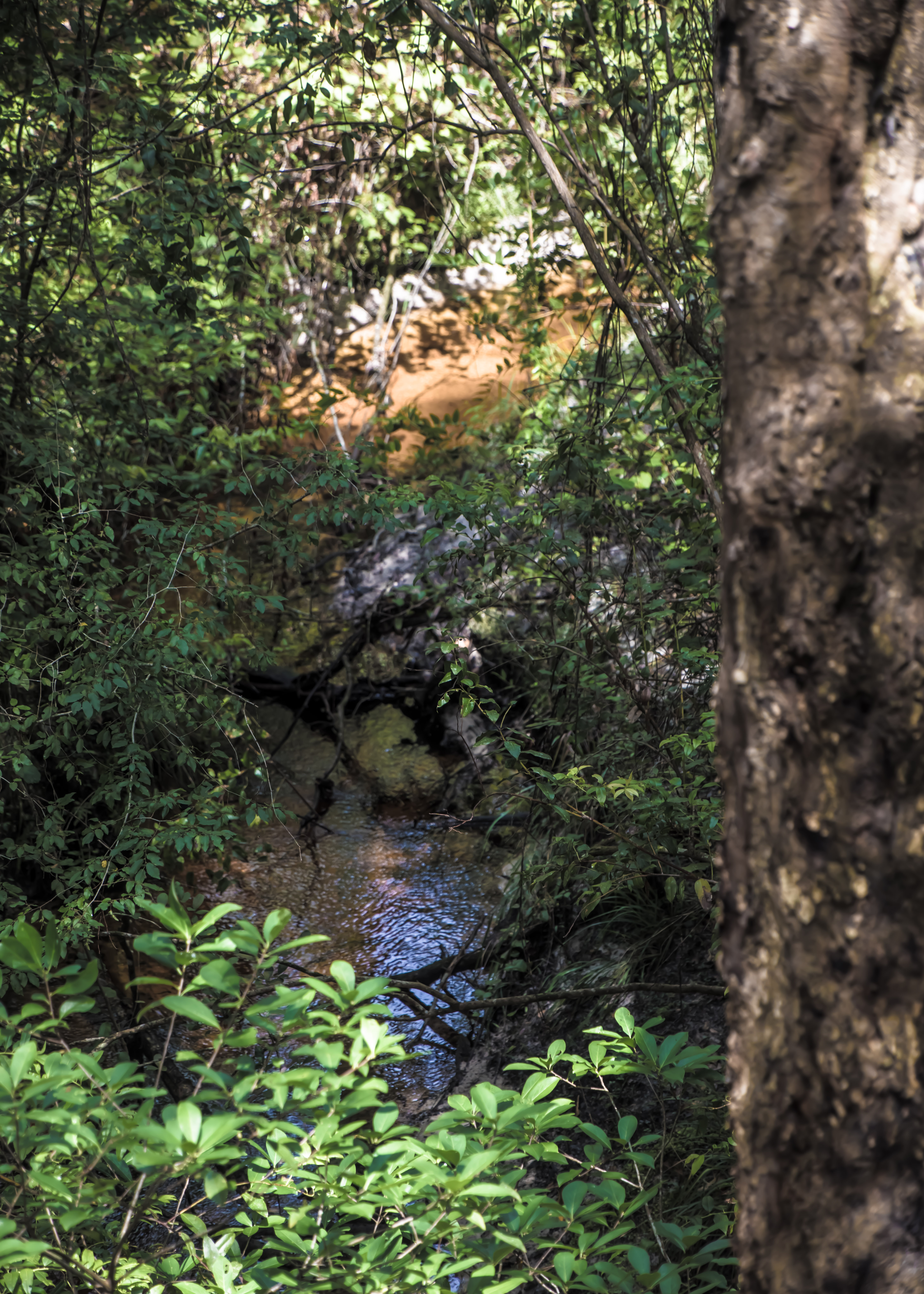
Ravine Gardens State Park is one of the nine New Deal-era state parks in Florida. The park has two ravines up to 120 feet deep with steep banks at 45-degree angles. Unlike common gullies, trenches or sinkholes caused by temporary flooding, the steephead ravines are a permanent feature with a spring-fed creek that never dries up, called Whitewater Branch. The underground water bubbling up cuts into the bank and carries the sand and soil downstream to the St. Johns River. Over thousands of years, the ravines have widened and deepened to what you see today. The 2.5-mile Azalea Trail winds through the ravine systems of Ravine Gardens State Park
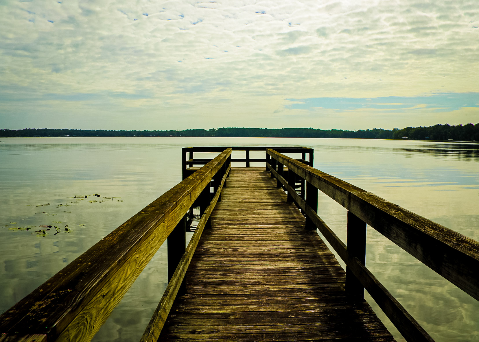
Shell Bluff Park is in the Andalusia community just east of the Putnam County line. This 60-acre park features fishing, a floating dock, playground, hiking trail, picnic pavilions, restrooms, and a boat launching facility on Crescent Lake.
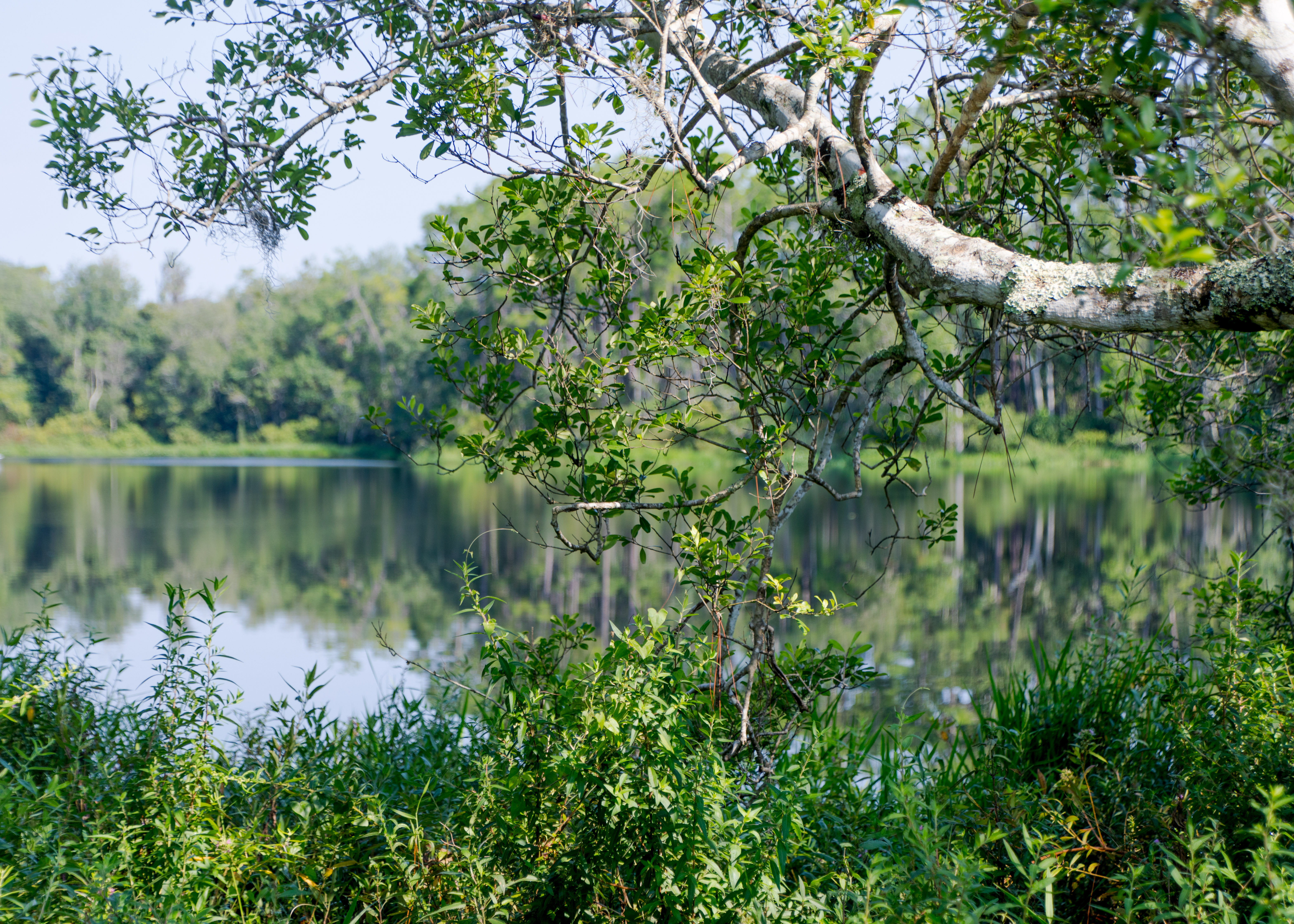
Carl Duval Moore State Forest is one of the smallest state forests (336 acres) but still maintains a variety of ecosystems, including sandhill, mesic flatwoods, wet flatwoods, and flatwoods lake. The park has two main hiking trails — (1) Up and Down Lake — the hiking trail is 1.2 miles in length and has interpretive tree identification signs along the route. (2) Hardesty Lake — hike down a 1.5-mile trail through a multitude of ecosystem types that range from sandhill to basin swamp.
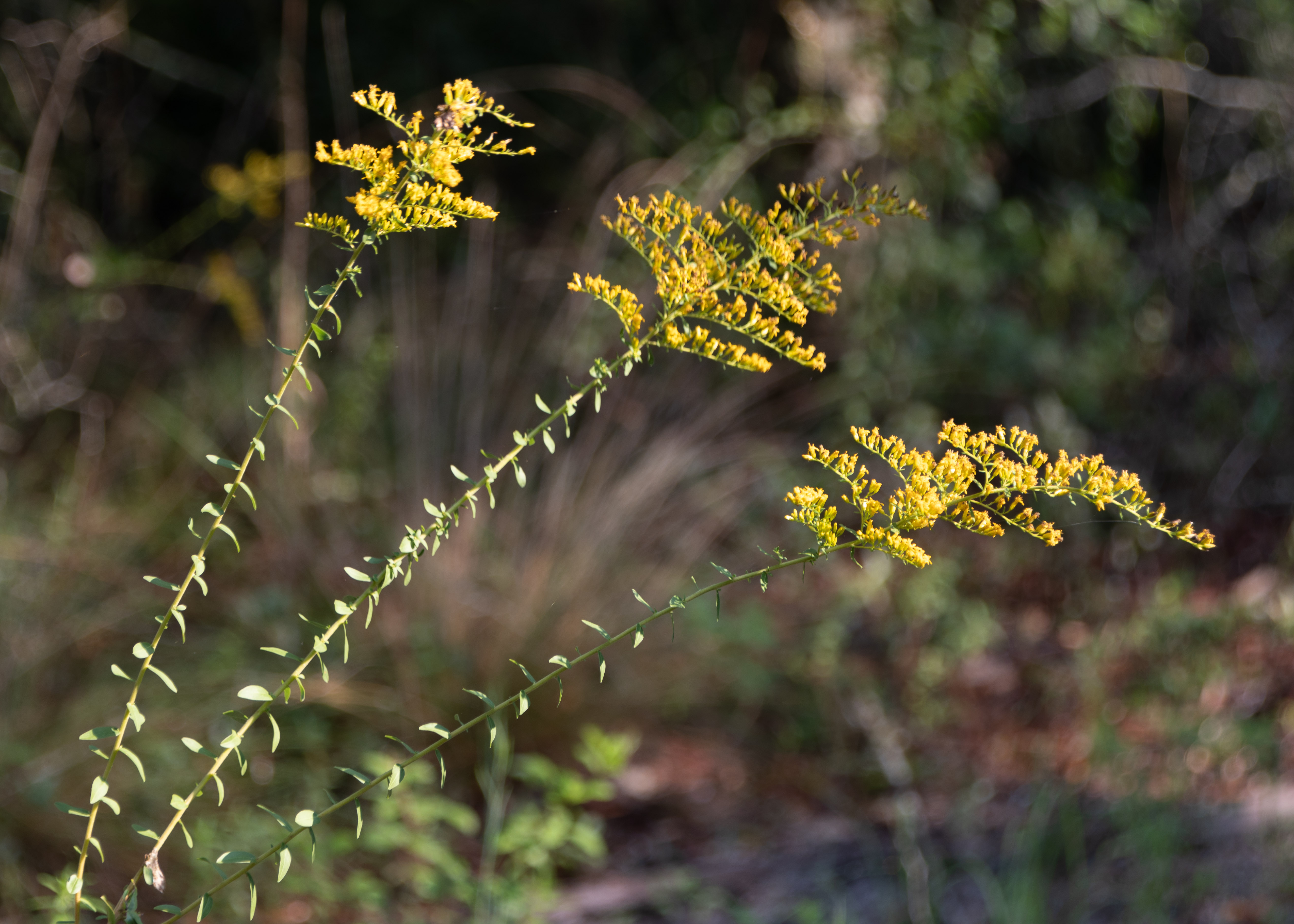
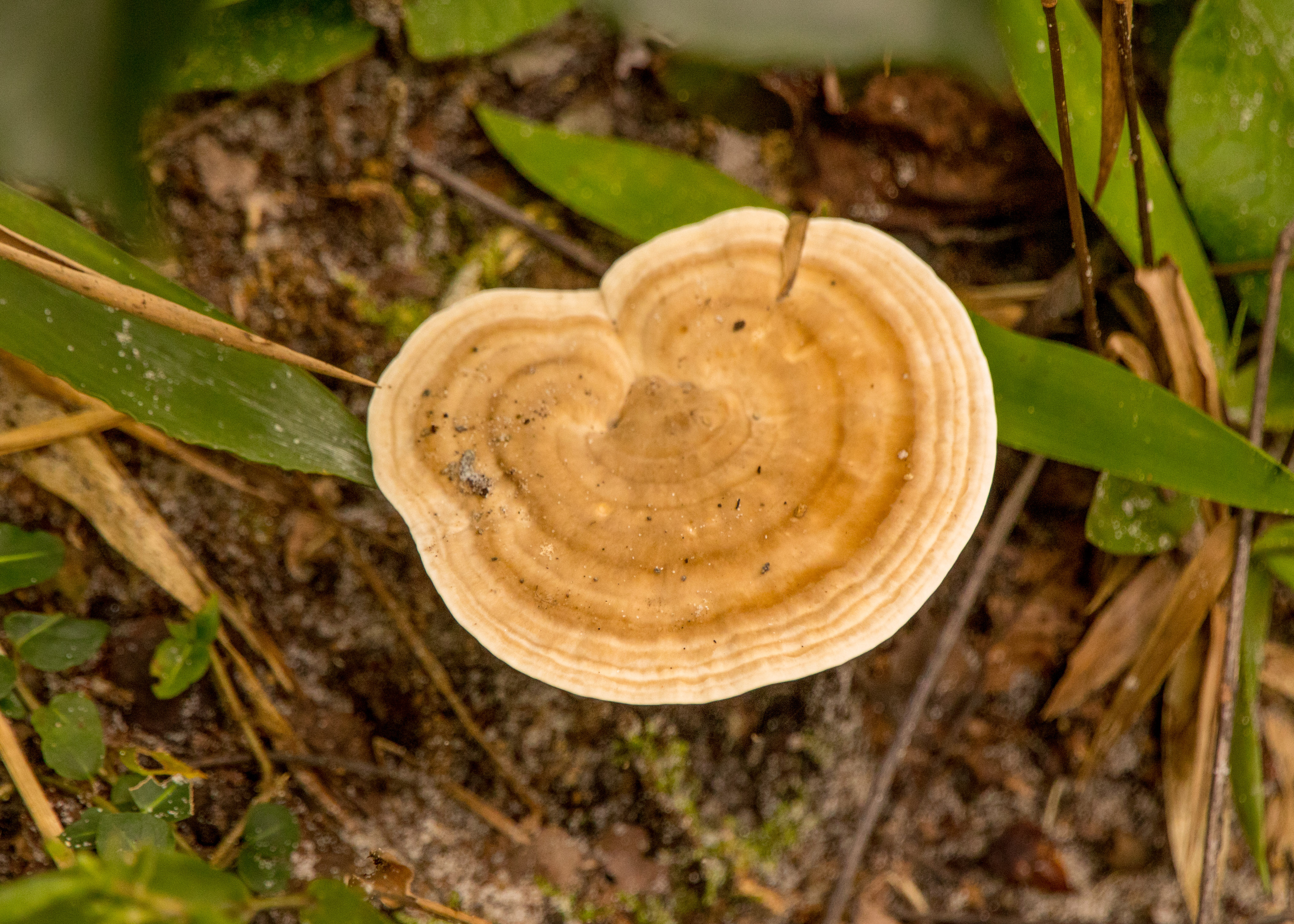
There are more than fifteen different natural biological communities in Jennings State Forest, including sandhill, slope forest, flatwoods, seepage slope, dome swamp, blackwater stream and seepage stream. Fire is needed to maintain many of these communities. The Florida Forest Service uses prescribed fire to maintain habitat for the forest’s unique plants and animals.
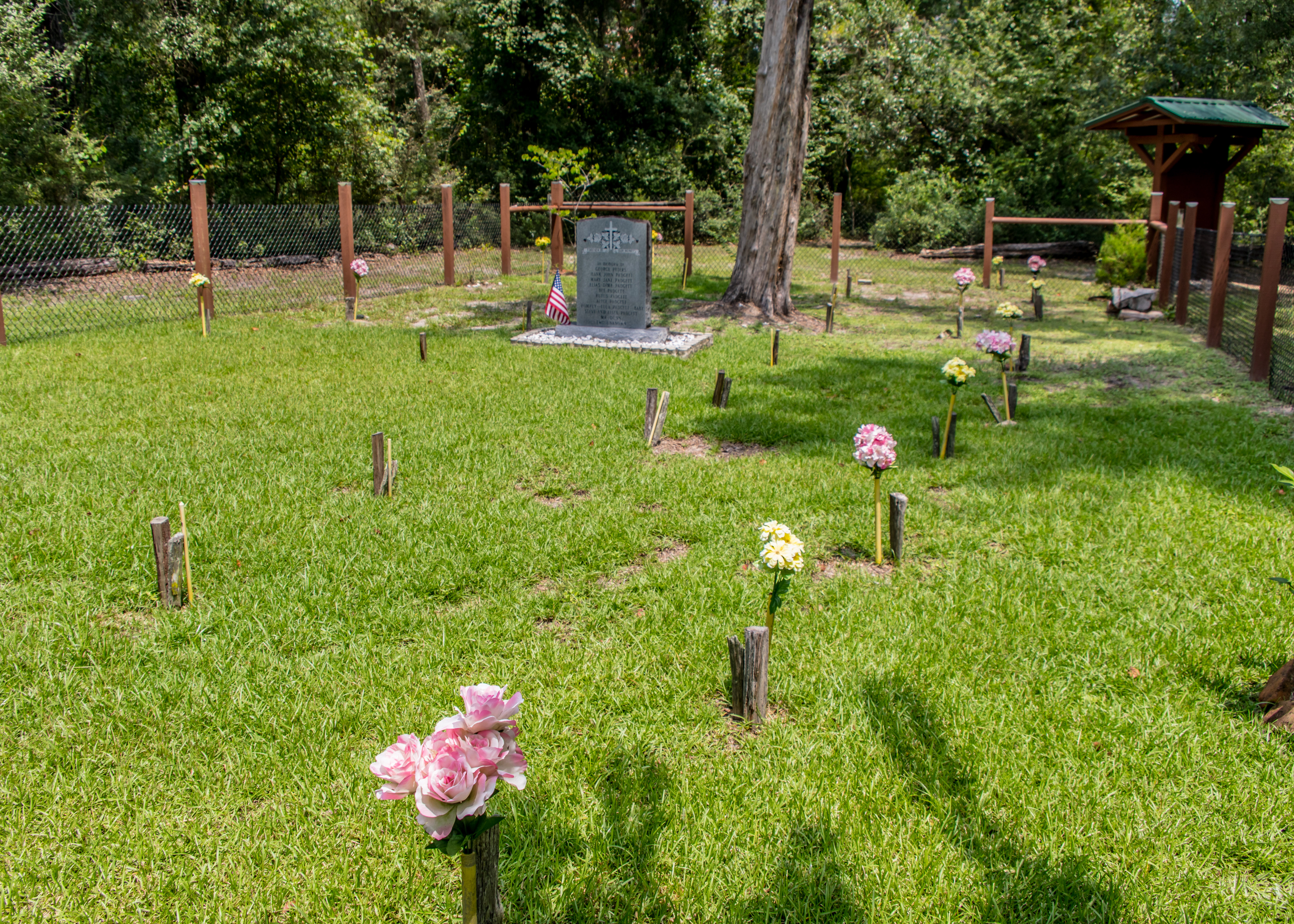
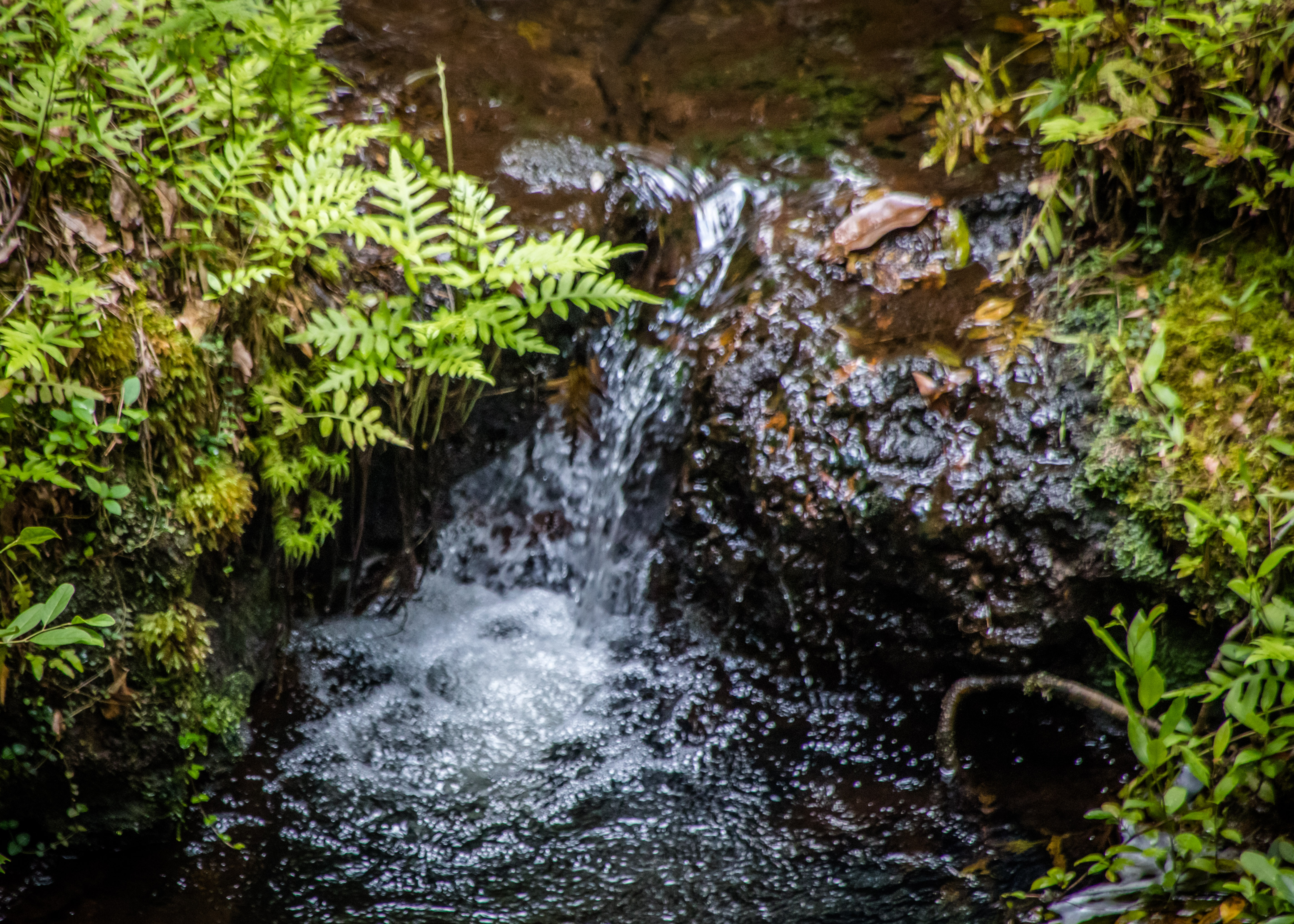
The Fire and Water Nature Trail is an informative 1.7-mile trail that will give insight into how fire and water affect the various forest communities. The Dunn’s Farm Trail is a 2.7-mile trail that offers a variety of ecosystems – ravines cut by springs, so called waterfalls (Duck Pond Falls) and a cemetery — for the Dunn and Padgett Families.
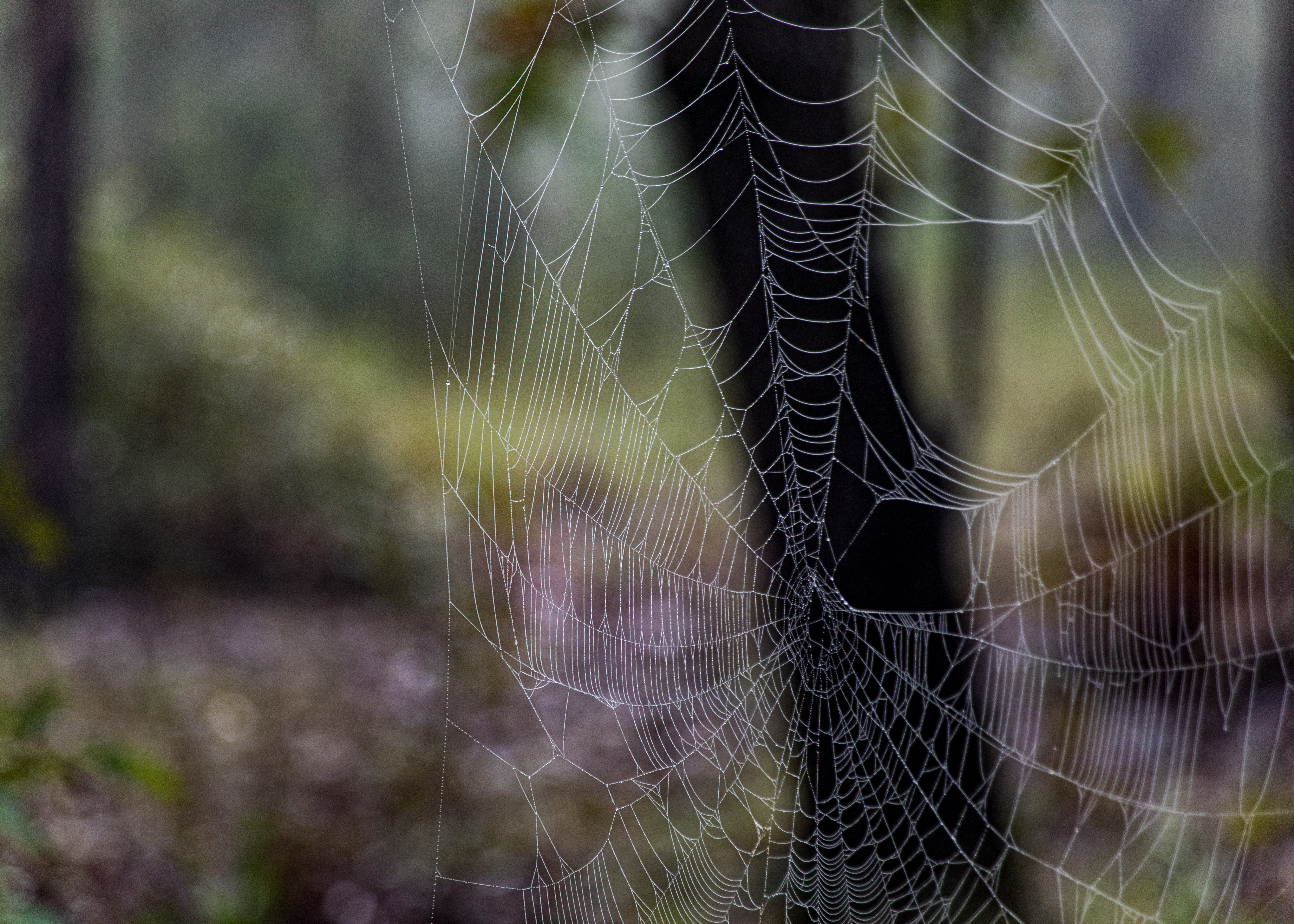
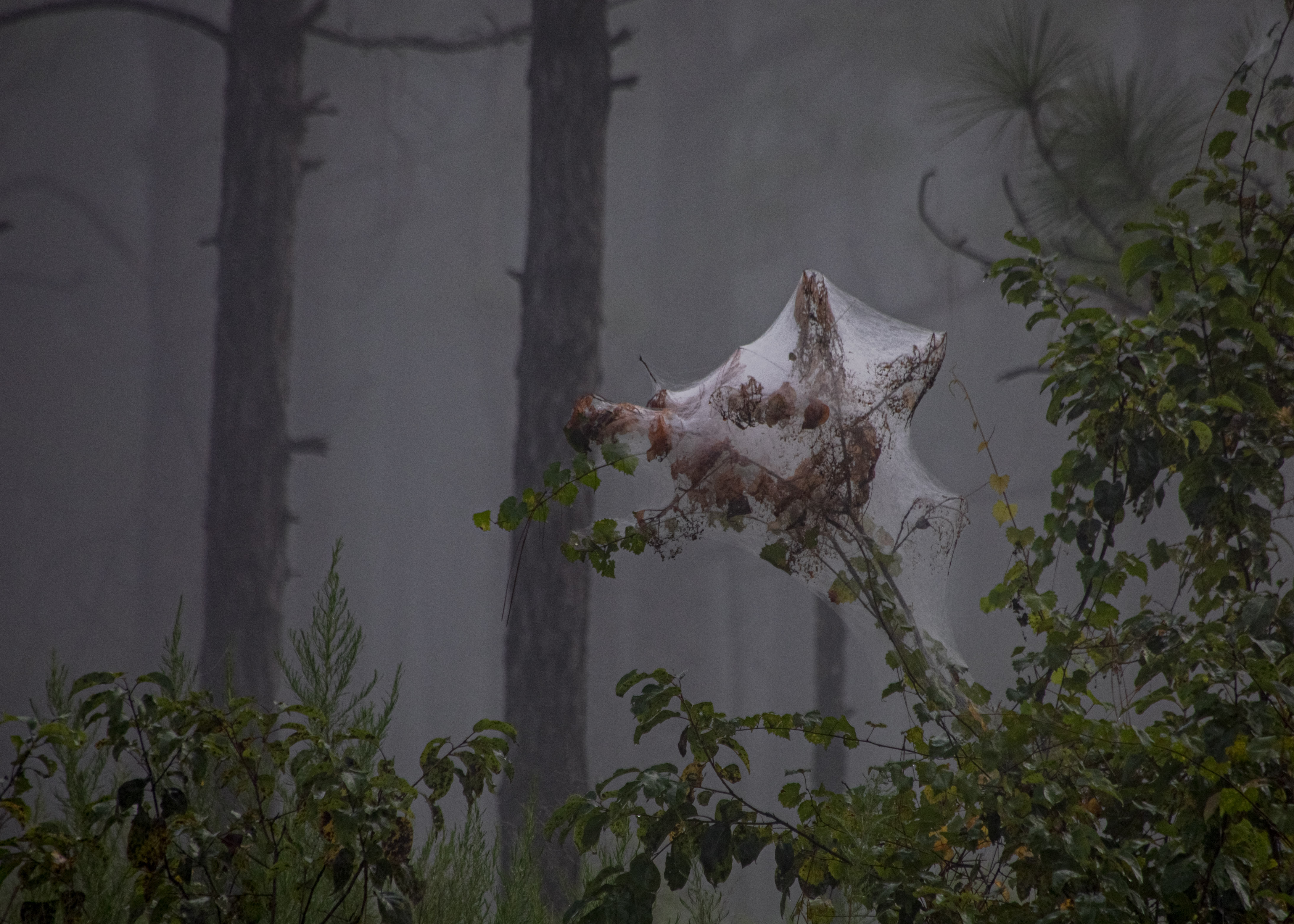
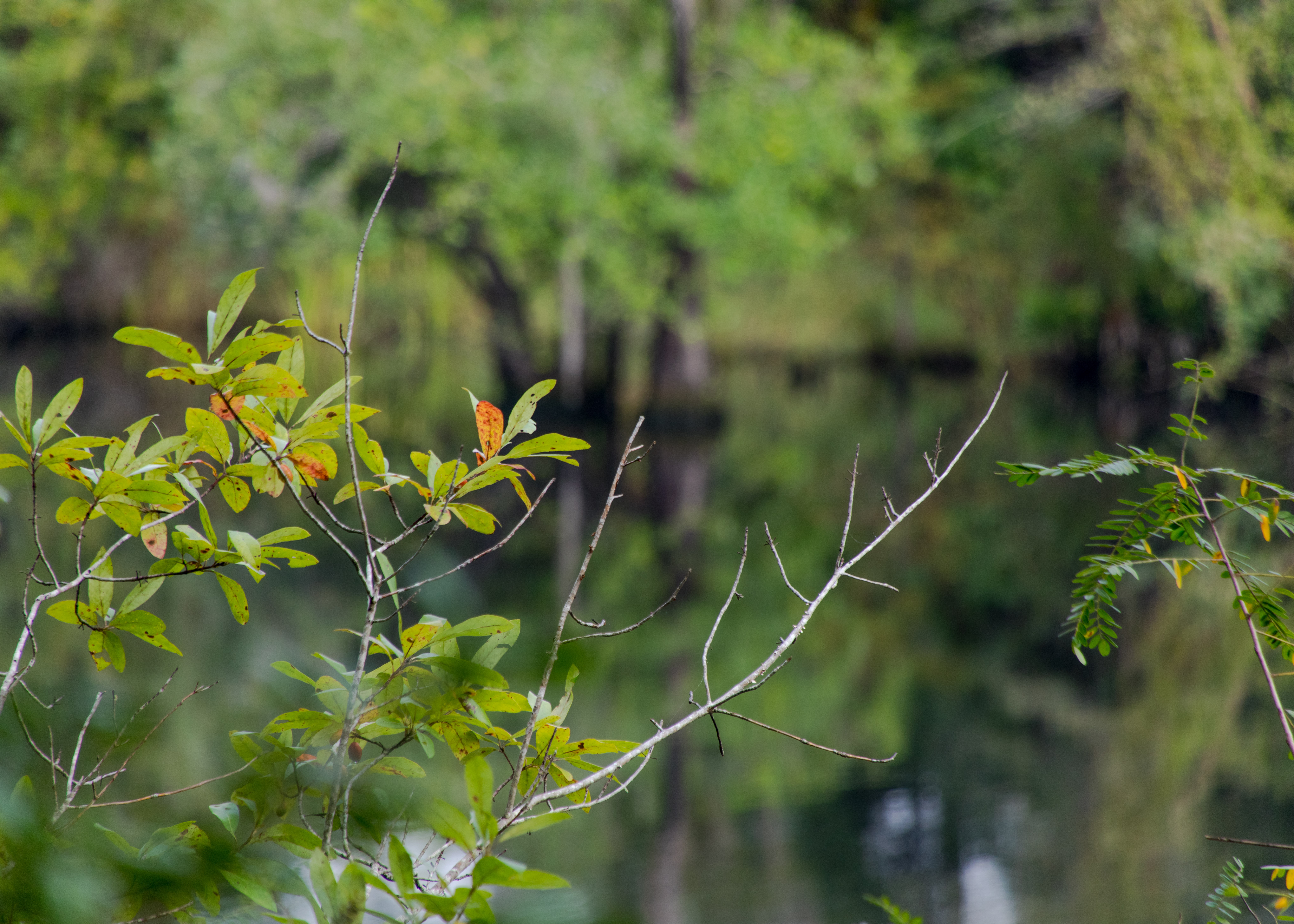
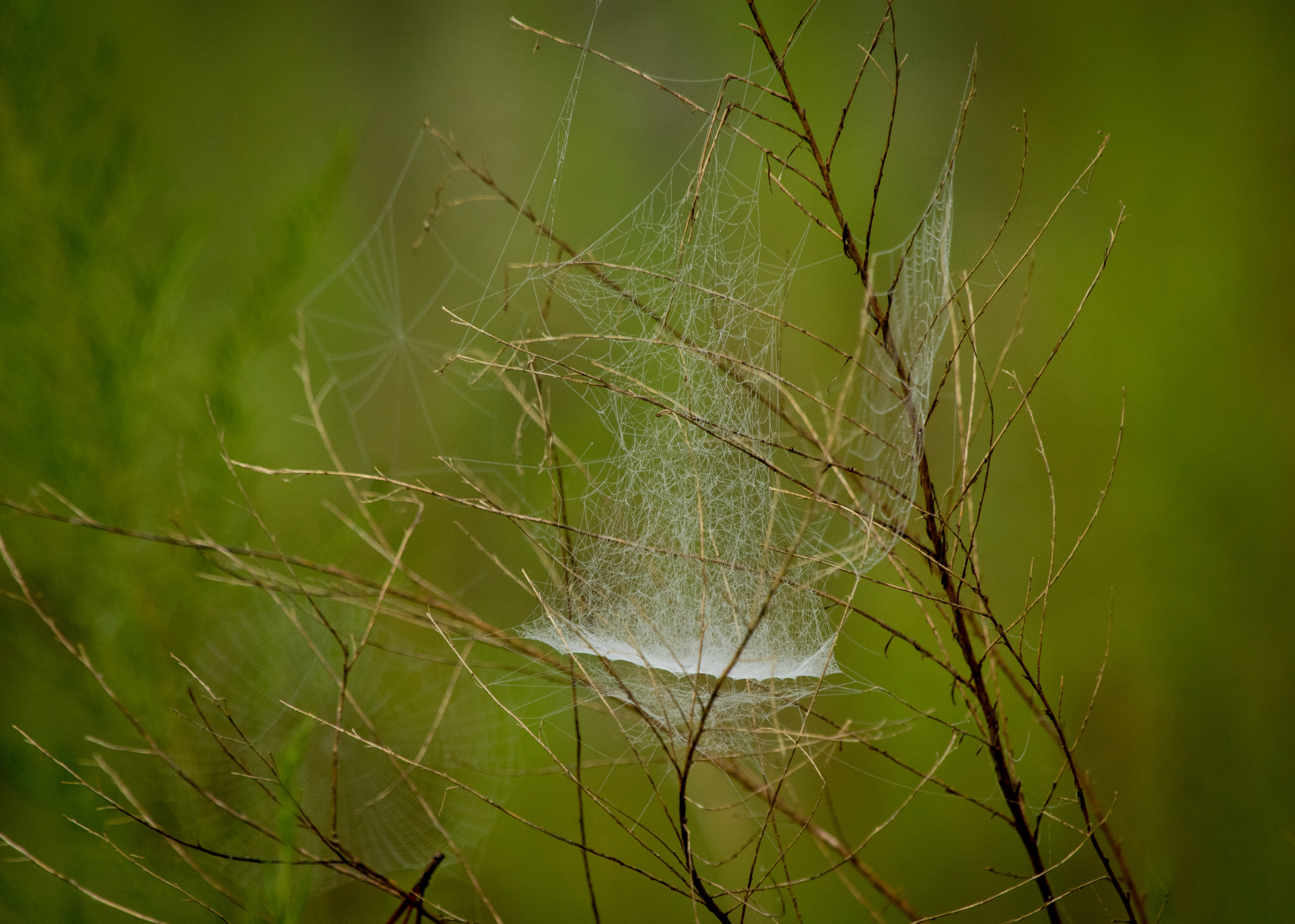
Ralph E. Simmons Memorial State Forest offers views St. Mary’s River (if you have a machete to get near it), which forms the northern boundary of the forest and serves as the forest’s primary water source. The 1.5-mile red trail gets you close to the river. I started on the 1.75-mile yellow trail (a spider habitat) in the early morning fog which was eerie on a trail that hadn’t been hiked in a long time.
Cary State Forest was established as Florida’s second state forest in 1937. Cary is known for its scenic mature flatwoods, sandhill and basin marsh. The 1.25-mile Nature Trail at Cary State Forest winds and twists through scenic flatwoods and cypress swamp and includes a boardwalk that takes hikers across the wetlands.

August 24, 2022 at 2:11 pm
Love these pics. Been a bit of a stressful 2022 in Mortgage Banking, and seeing these pics is very relaxing, so thanks for sharing. Had lunch with Hauser on Sunday, he looked well, we had a nice time catching up. Hope you and the family are doing great.
>
LikeLike
August 24, 2022 at 6:08 pm
Hope all is well – I don’t miss the industry. We love it in FL. Little hot in the summer but that’s what pools are for. We are heading to the Bay area in early Oct. to watch the grandkids then back for Christmas let me know if we can get together – looking forward to hearing about Steves Italy adventures — Pete.
LikeLike
August 24, 2022 at 3:30 pm
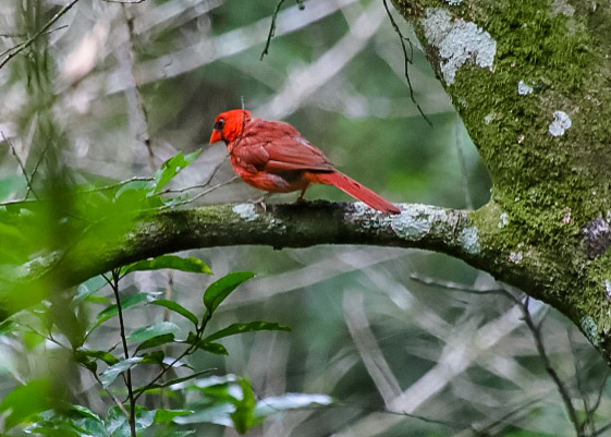
Again, a wonderful album of photos. Thanks for tucking mr cardinal in one. I especially liked the Spider web trail! All the best, Pete. Thanks for sharing
LikeLike
August 24, 2022 at 6:11 pm
Thanks – hope all is well — where are you in Texas?
LikeLike
August 24, 2022 at 3:51 pm
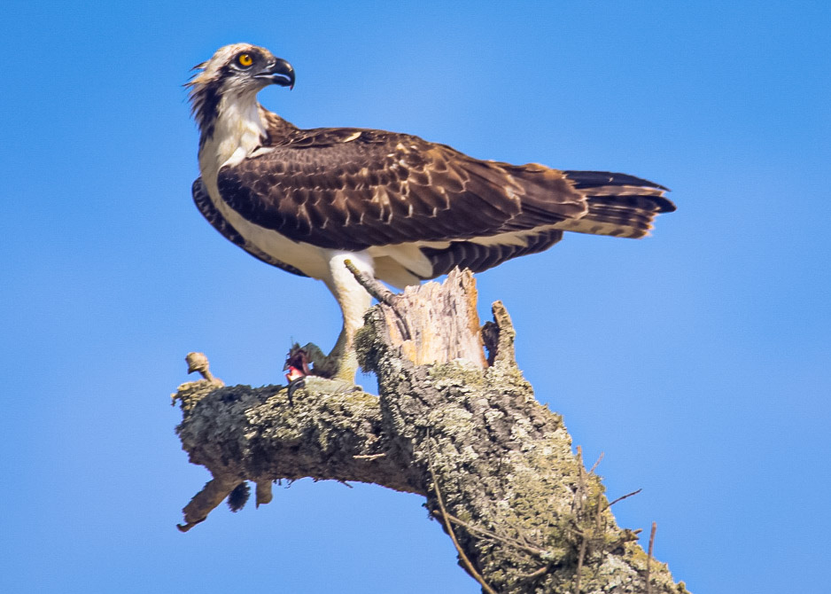
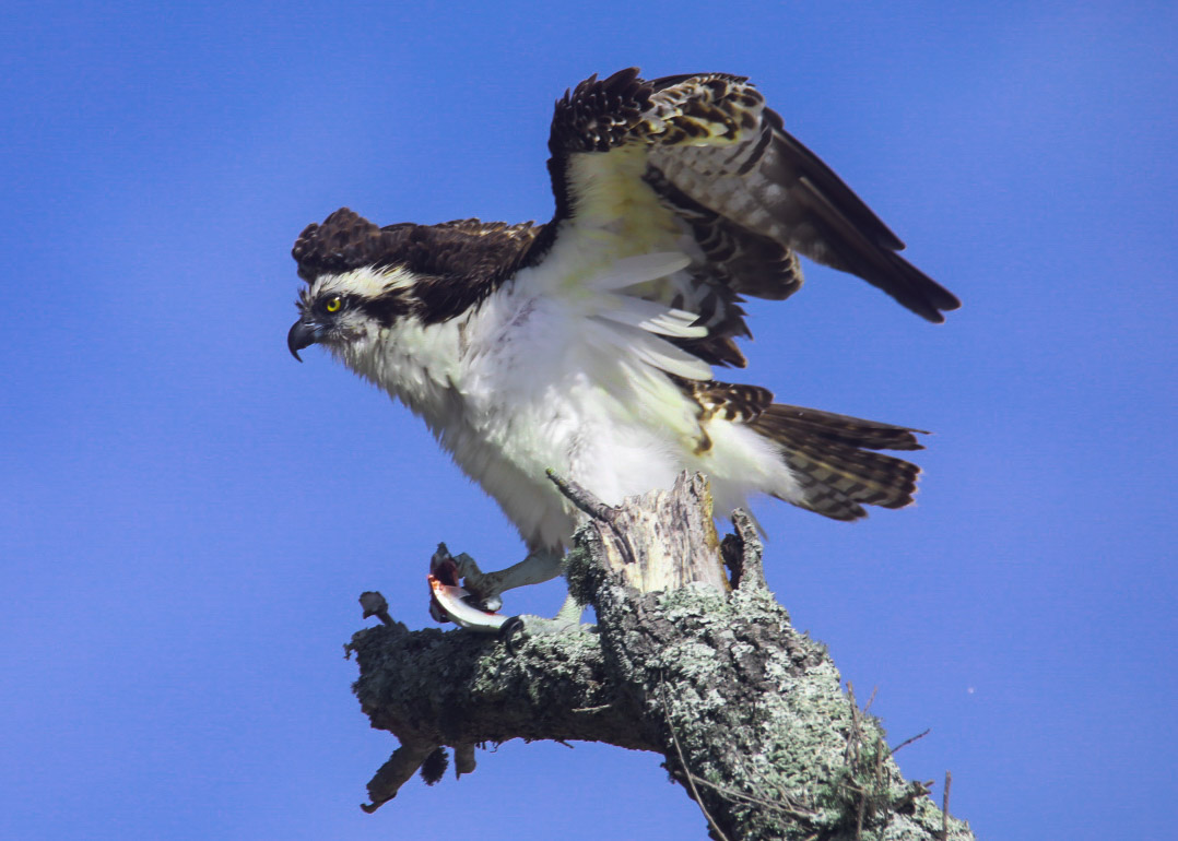
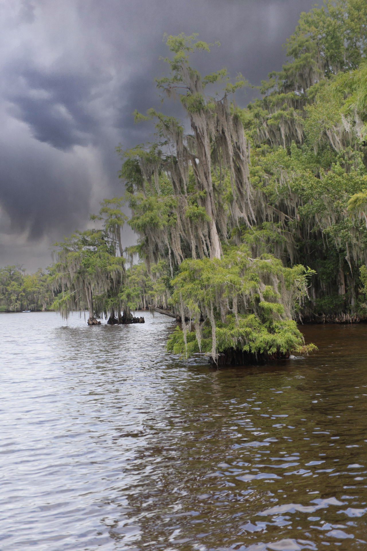
Pete Wow – extraordinary pictures. Is that first picture of a hawk. What kind? Looks like you got caught in a quickie rain storm- those clouds look eerie.
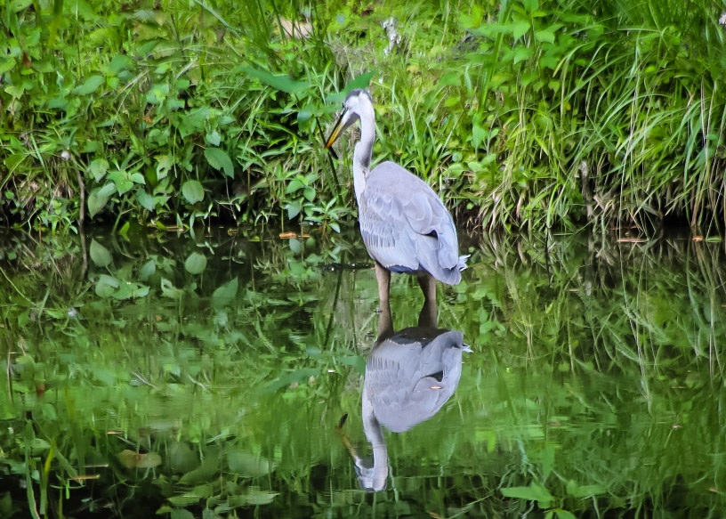
I missed a picture of Miss Chris. Thanks for sharing. J Kirk
LikeLike
August 24, 2022 at 6:03 pm
It’s an Osprey – and yes, I got soaked for the 1.5 miles back to the car – miss Chris is too busy to travel with me!! but I’ll try next post.
LikeLike
August 25, 2022 at 10:10 am
Beautiful! I especially love the osprey photo!
LikeLike
August 25, 2022 at 10:56 am
Thanks – running out of local parks and forests need to do some more overnight trips
LikeLike