A little behind in posting. The following are highlights of several hiking trips and wildlife refuges that we visited.
Betty Steflik Memorial Preserve
Not the first time here but always a pleasant walk along a boardwalk along the intercoastal in Flagler Beach. https://www.visitflagler.com/listing/betty-steflik-memorial-preserve/270242/

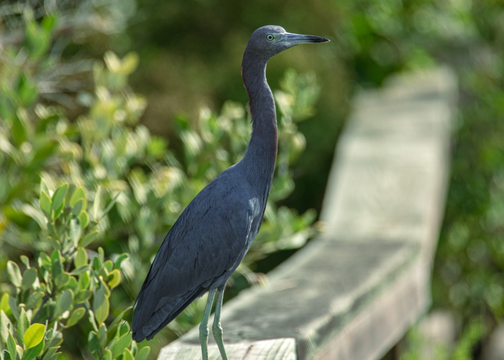
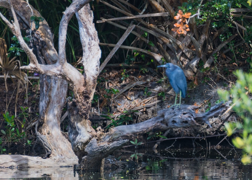
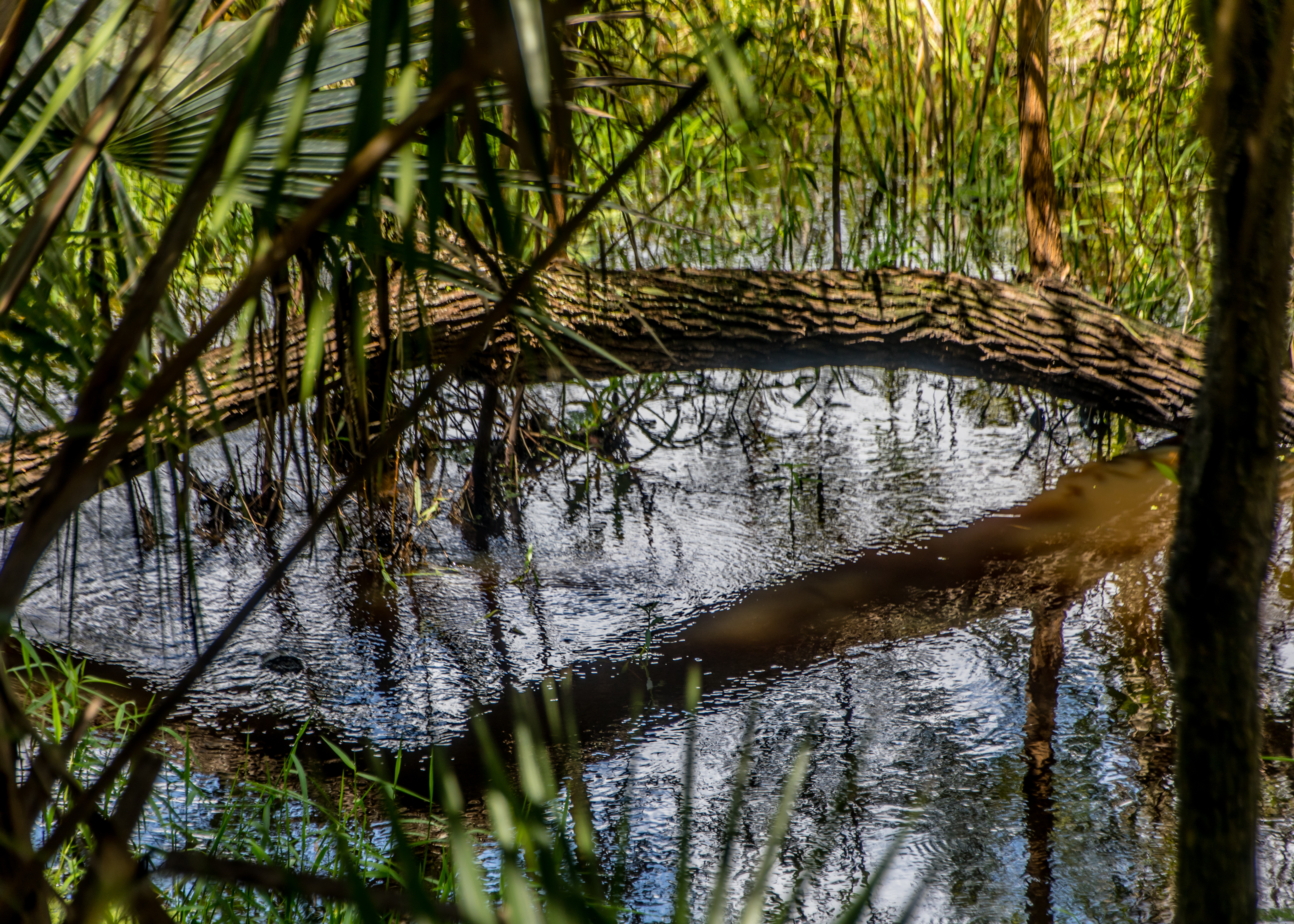
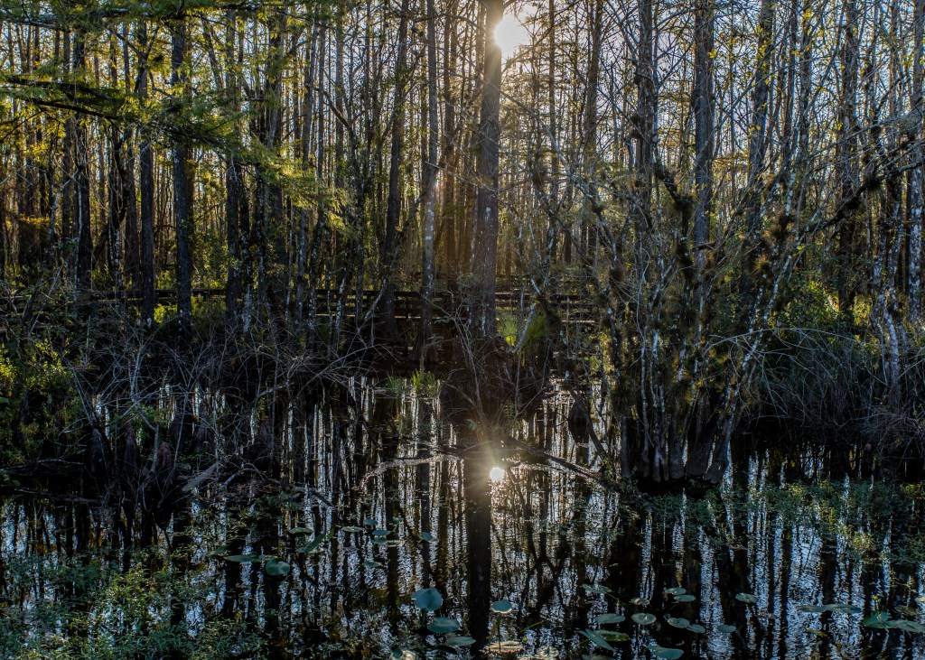
6 Mile Slough Preserve
3400 acres of wetlands near Ft Meyers that runs about 11 miles and only a third of a mile wide – with several boardwalk loops. http://www.sloughpreserve.org
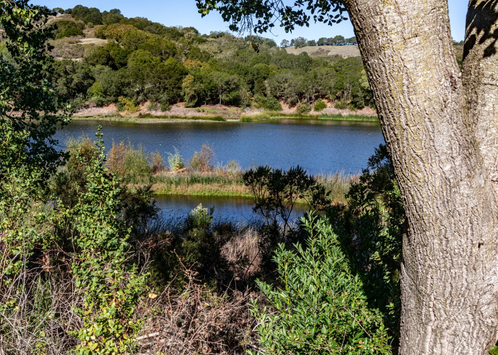
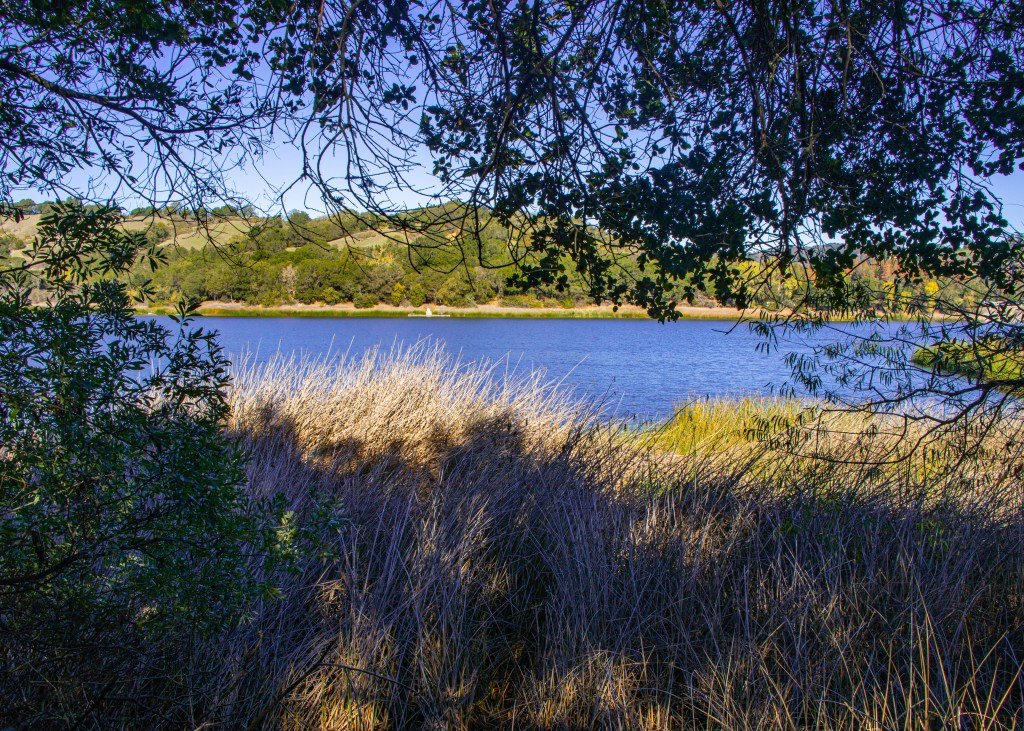
Lafayette Reservoir
An easy 2.5+ mile path around the reservoir – a fun morning with the grand kids. http://www.ebmud.com/recreation/east-bay/lafayette-reservoir/
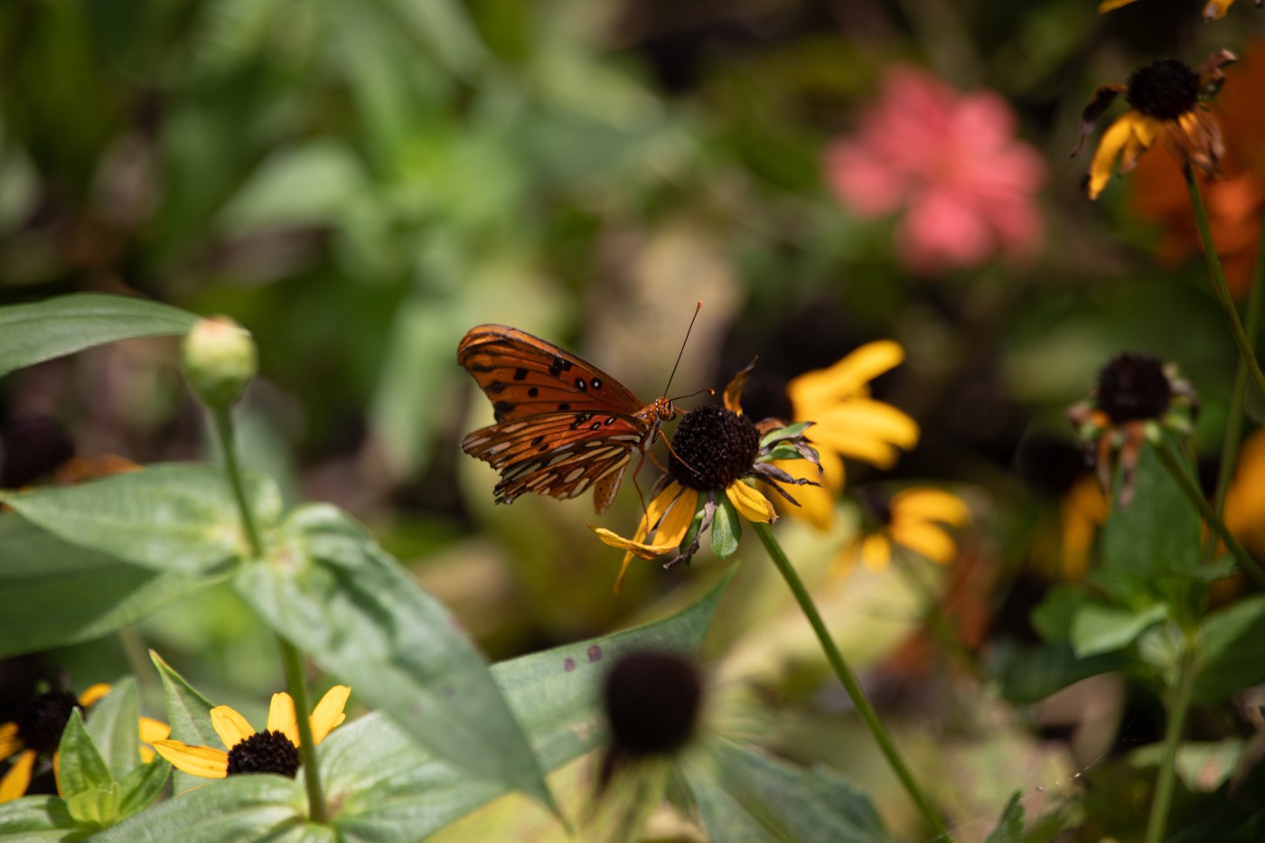
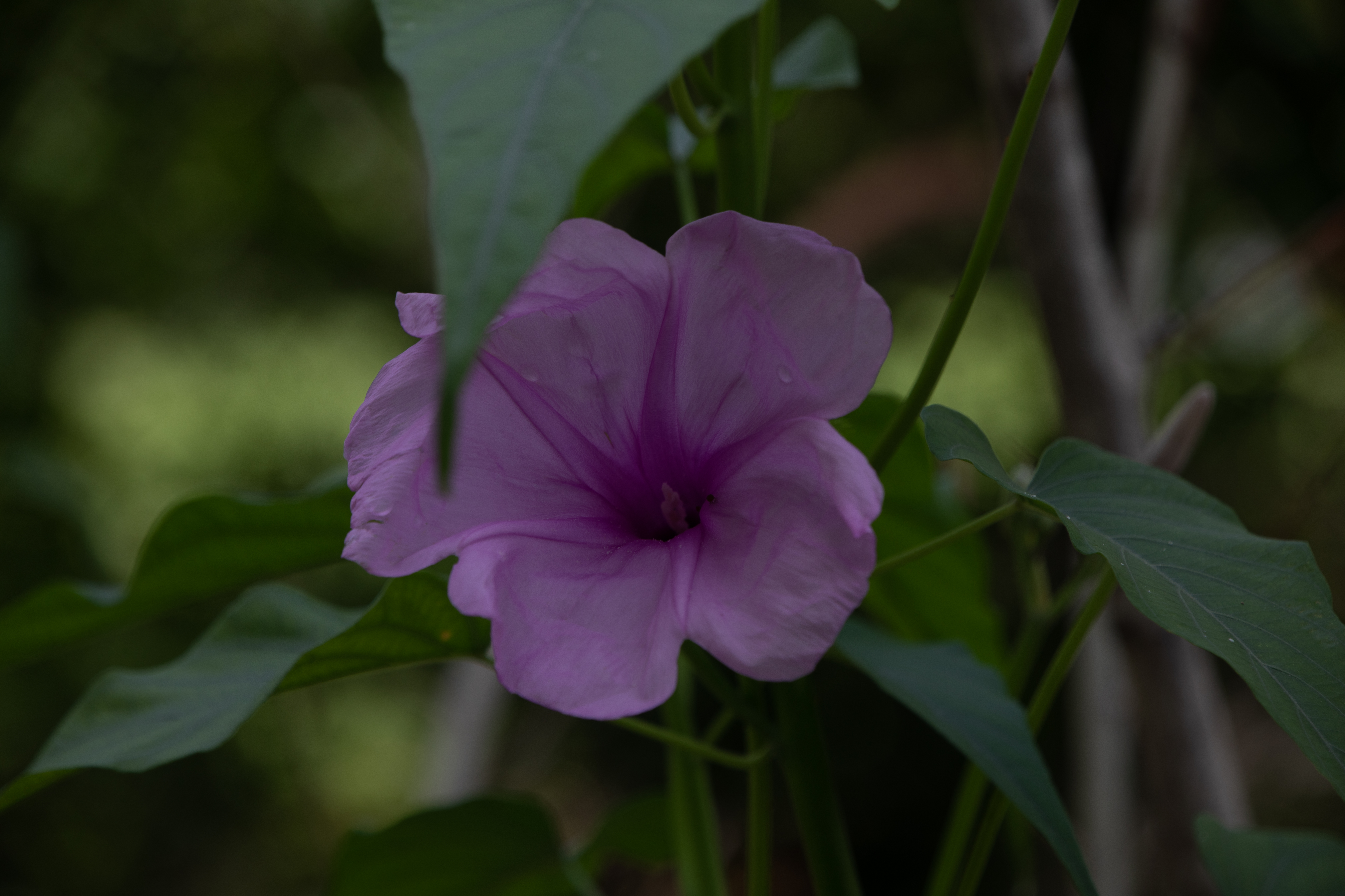
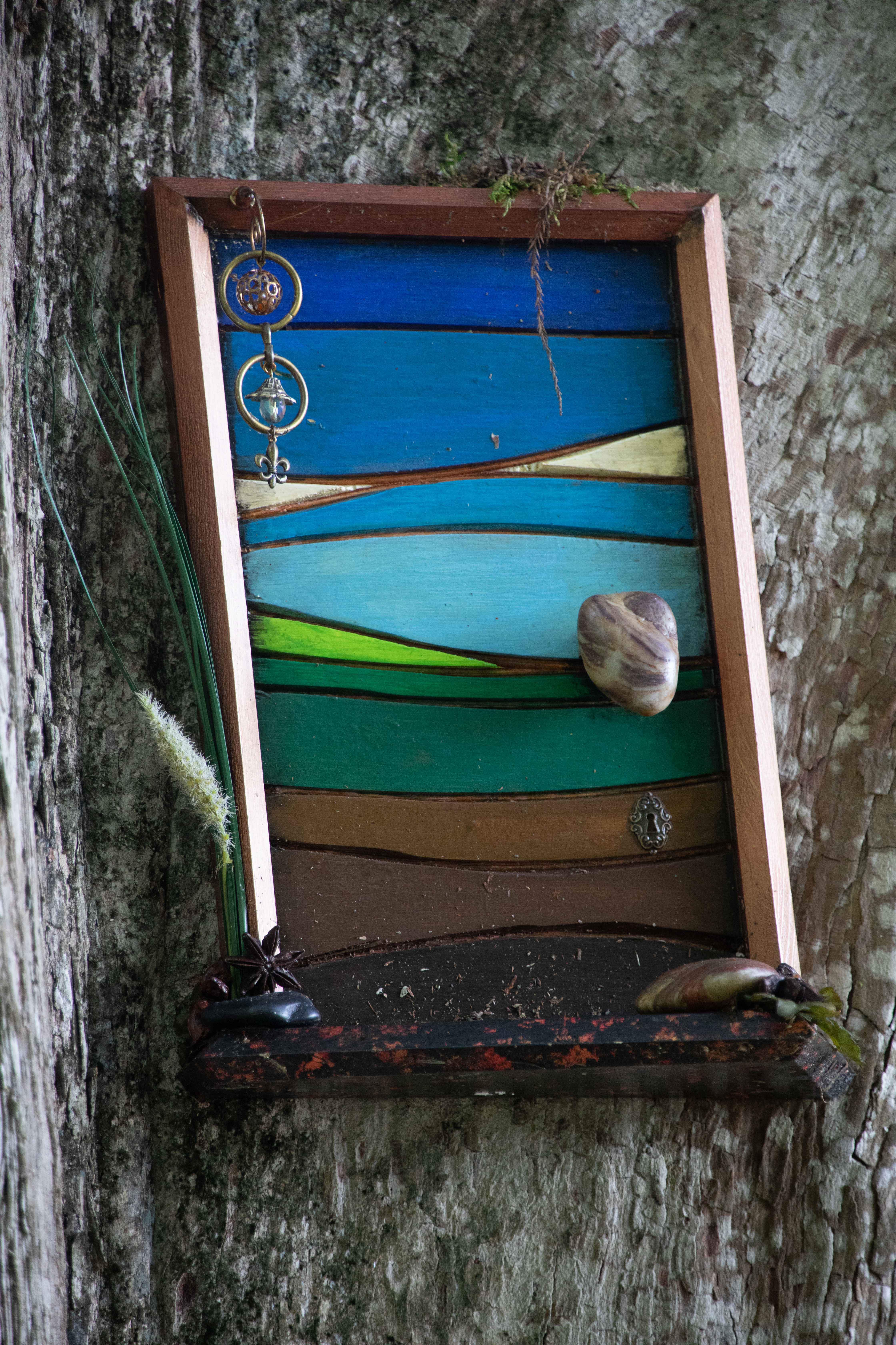
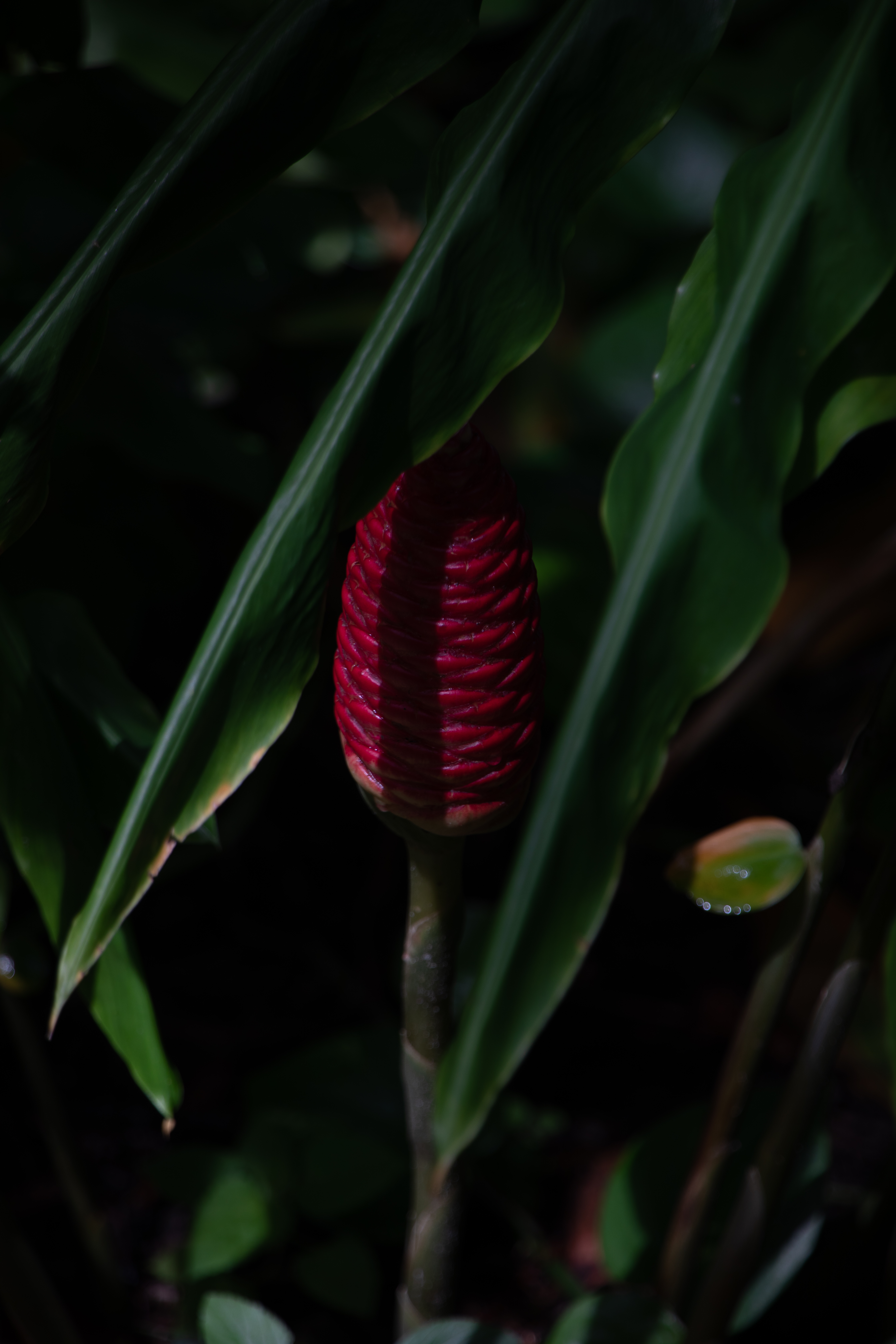
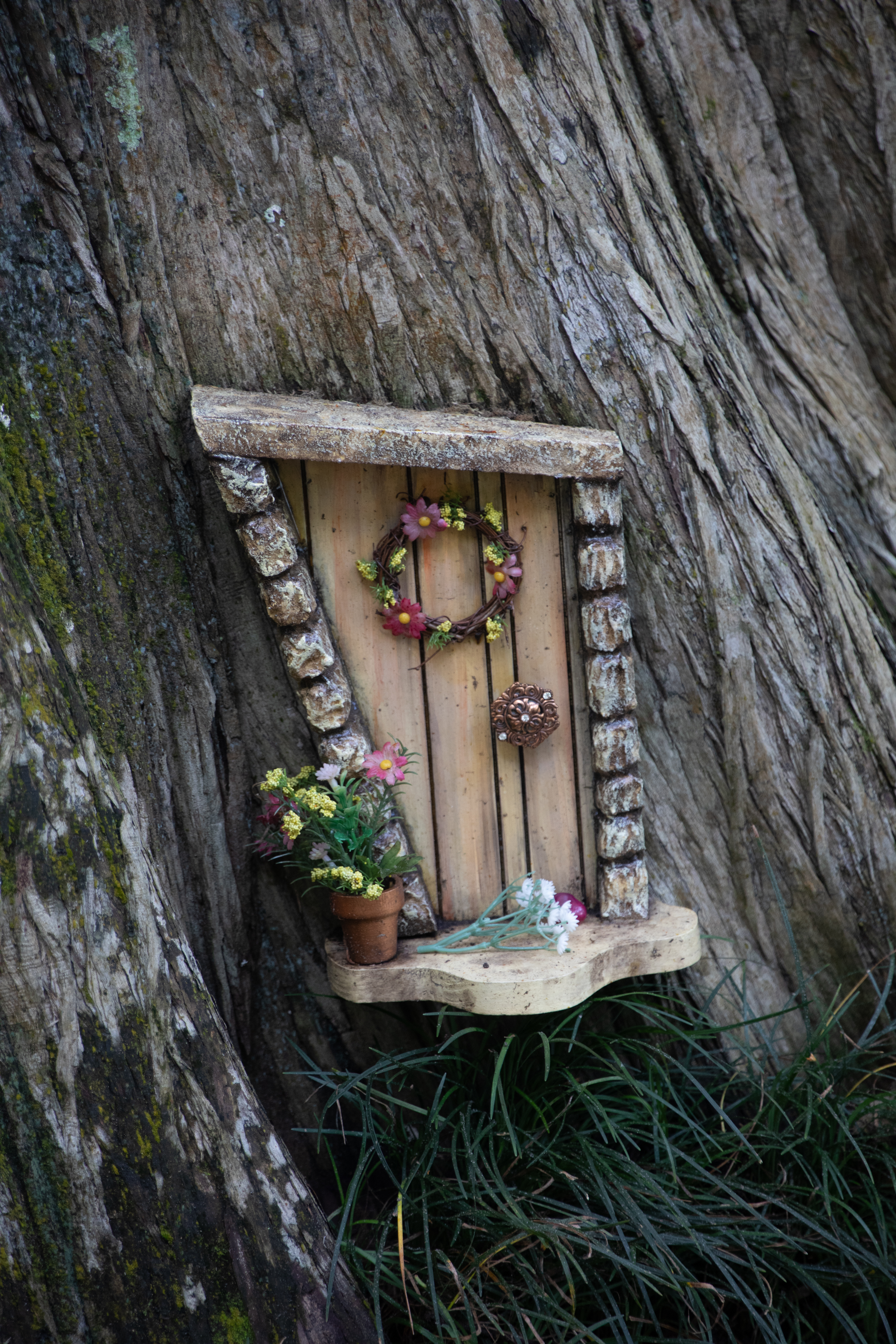
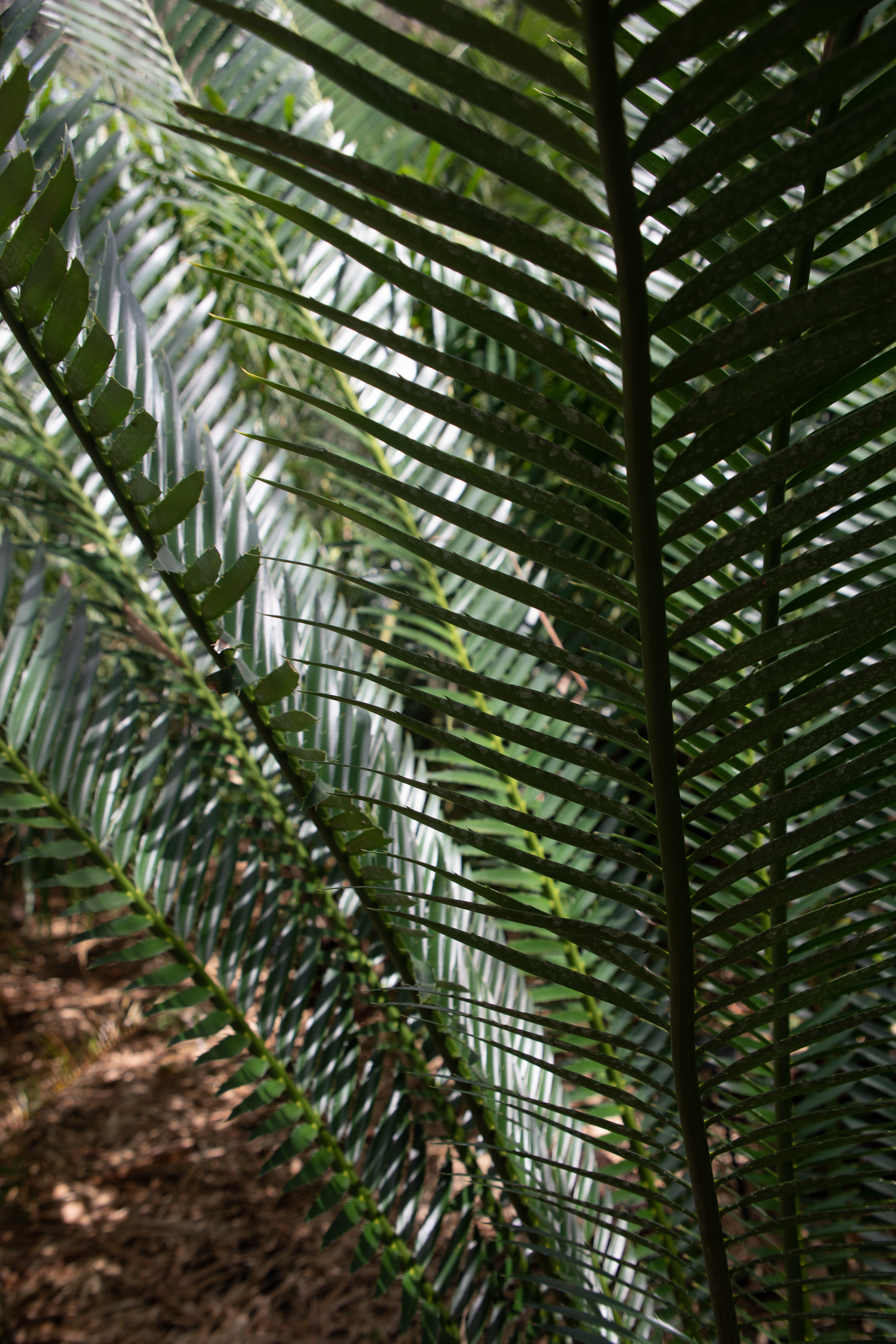
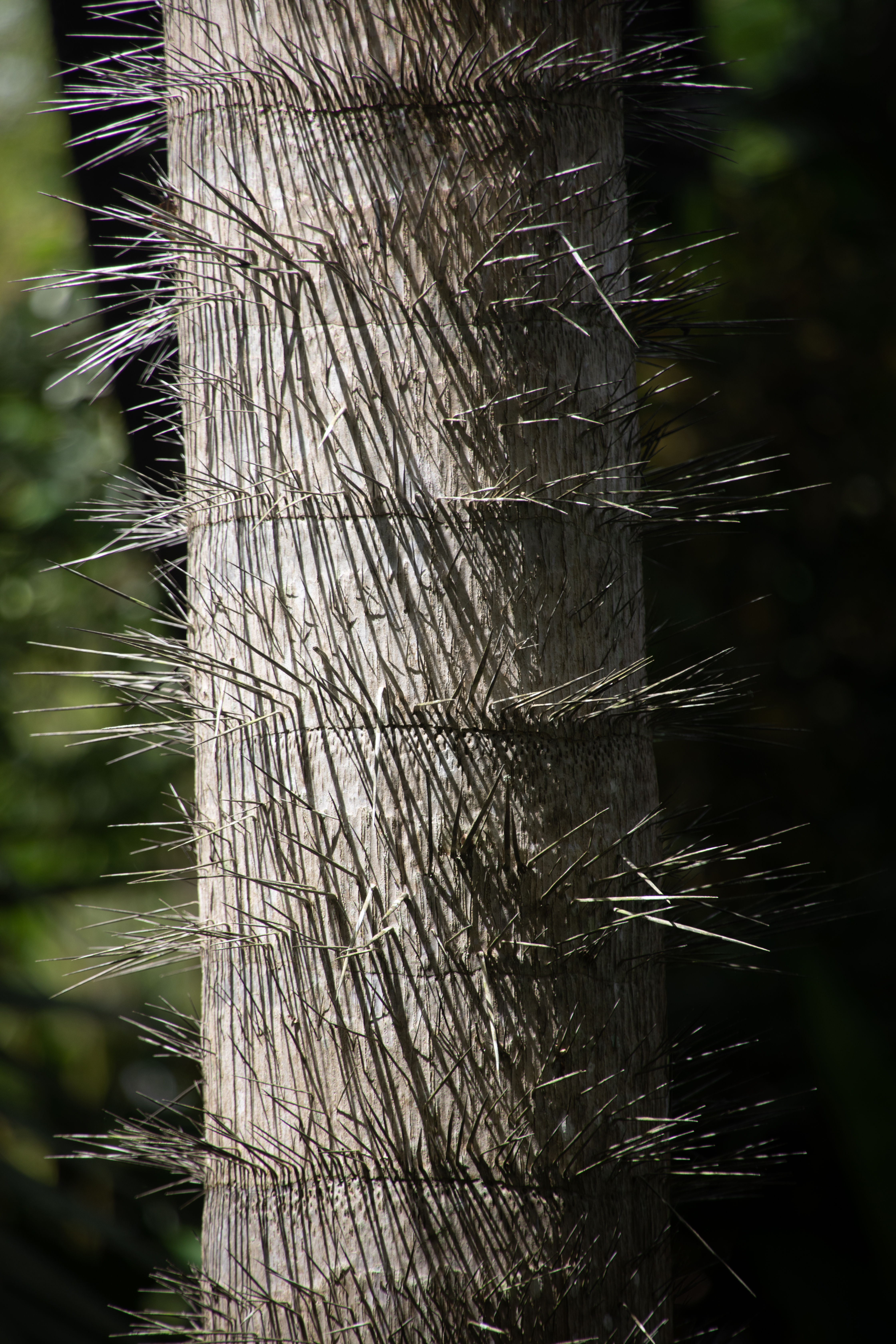
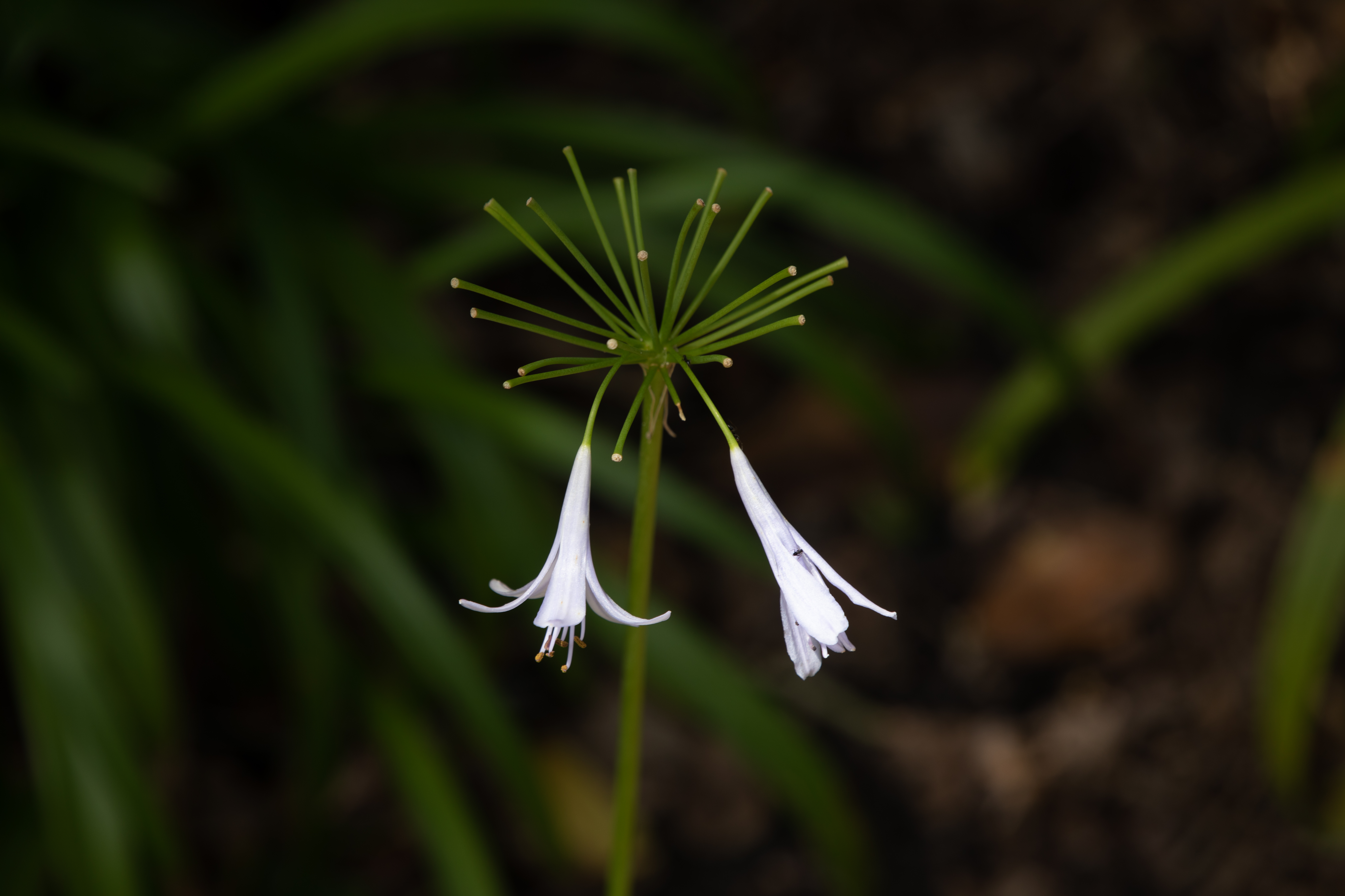
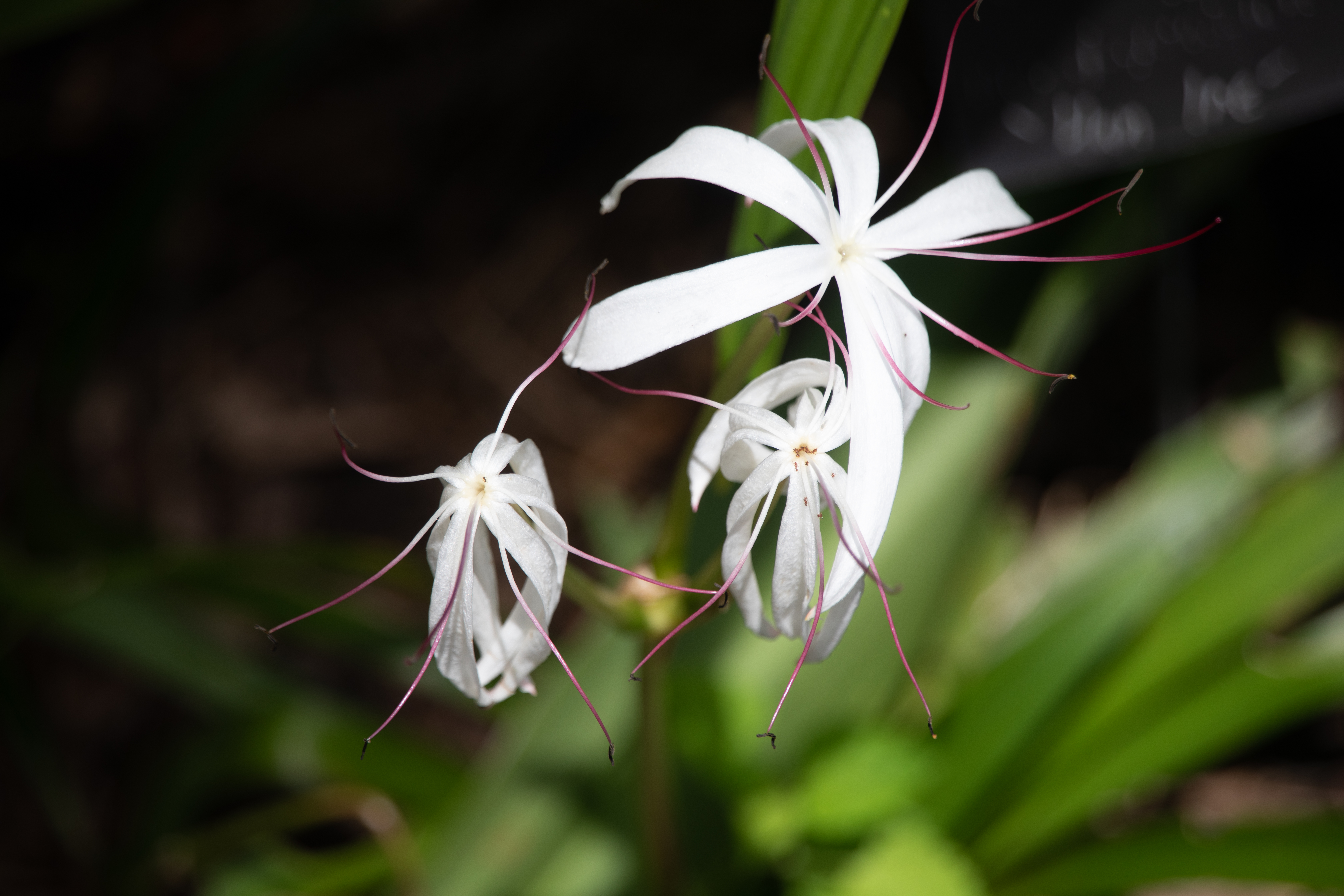
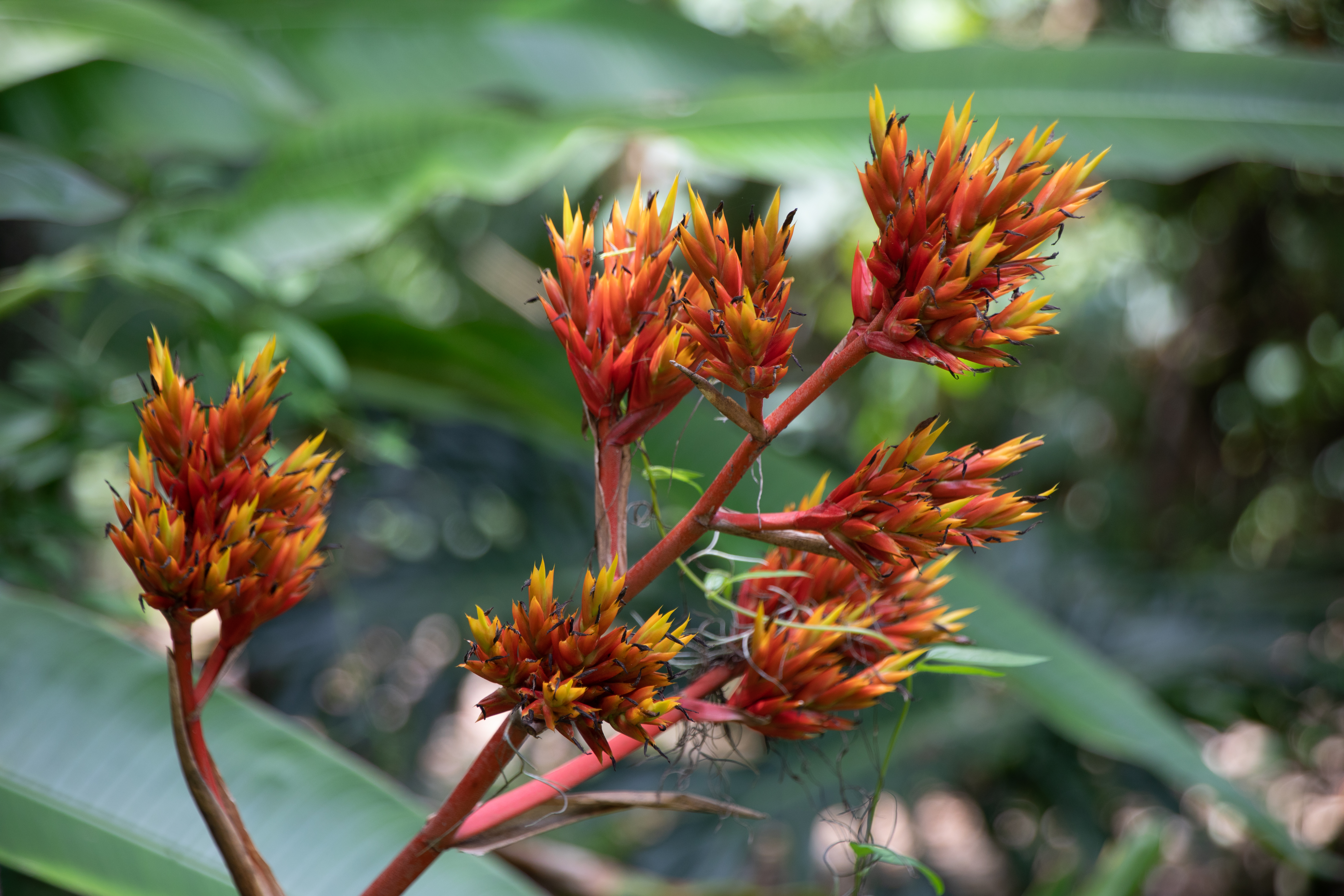
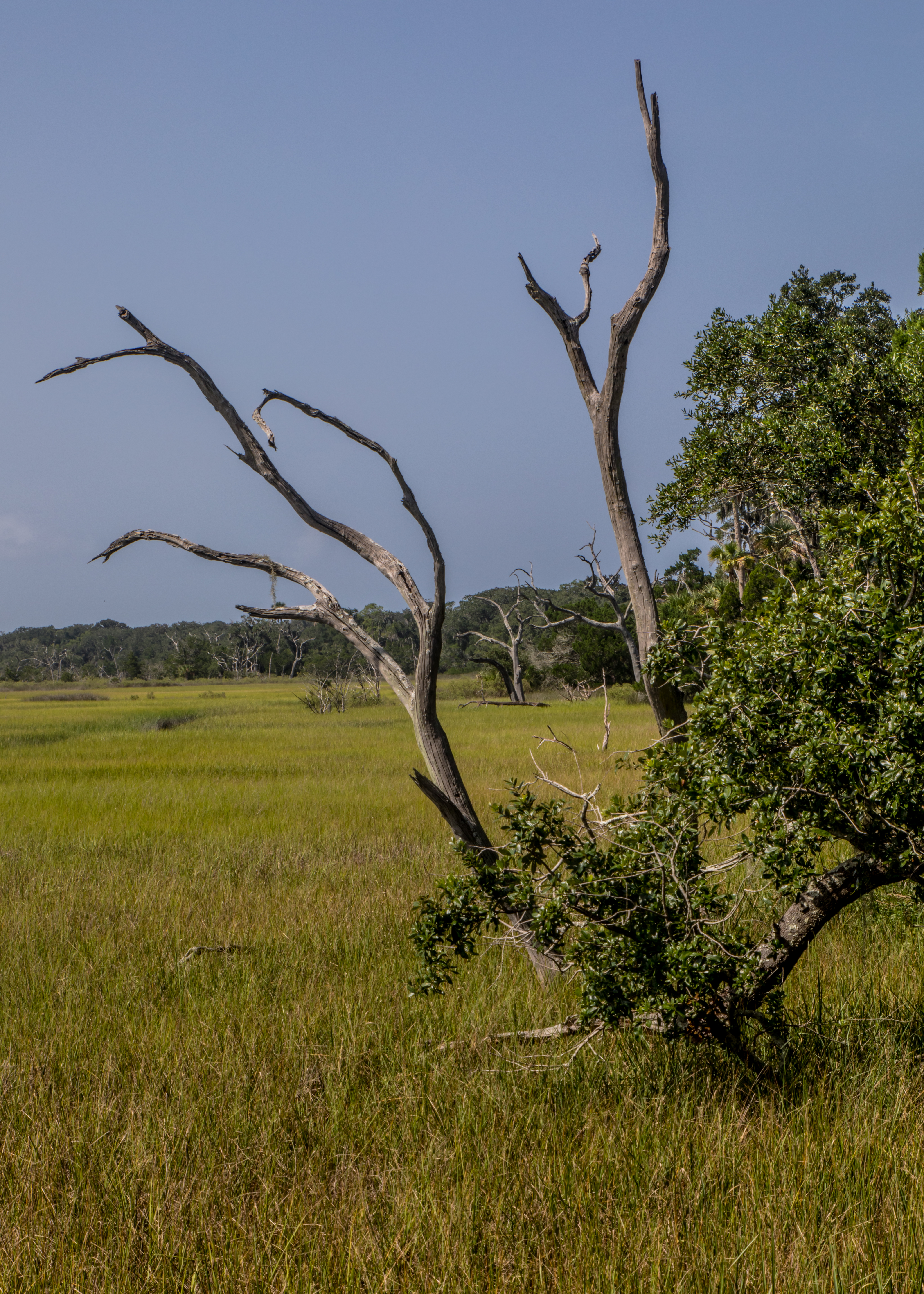
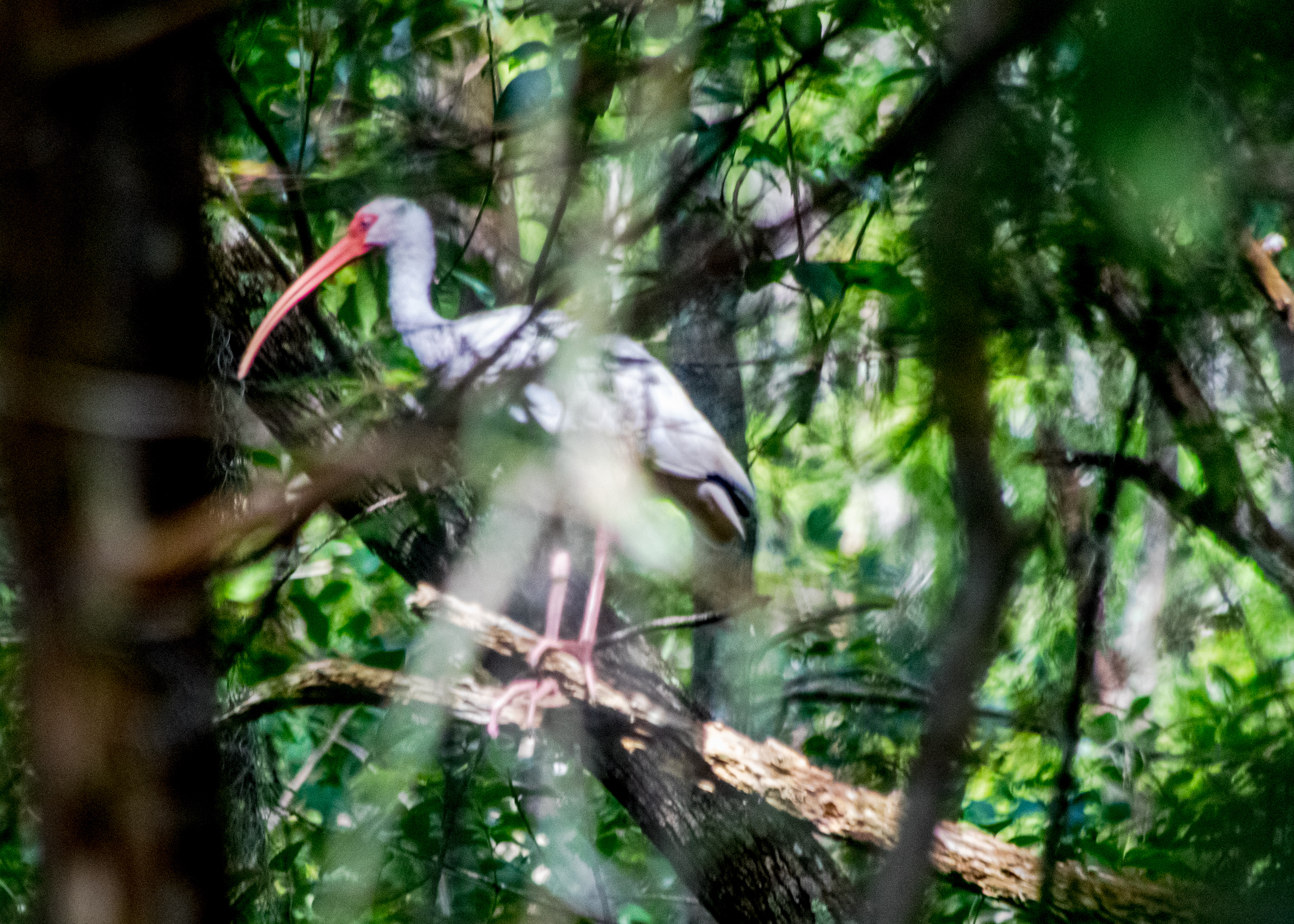
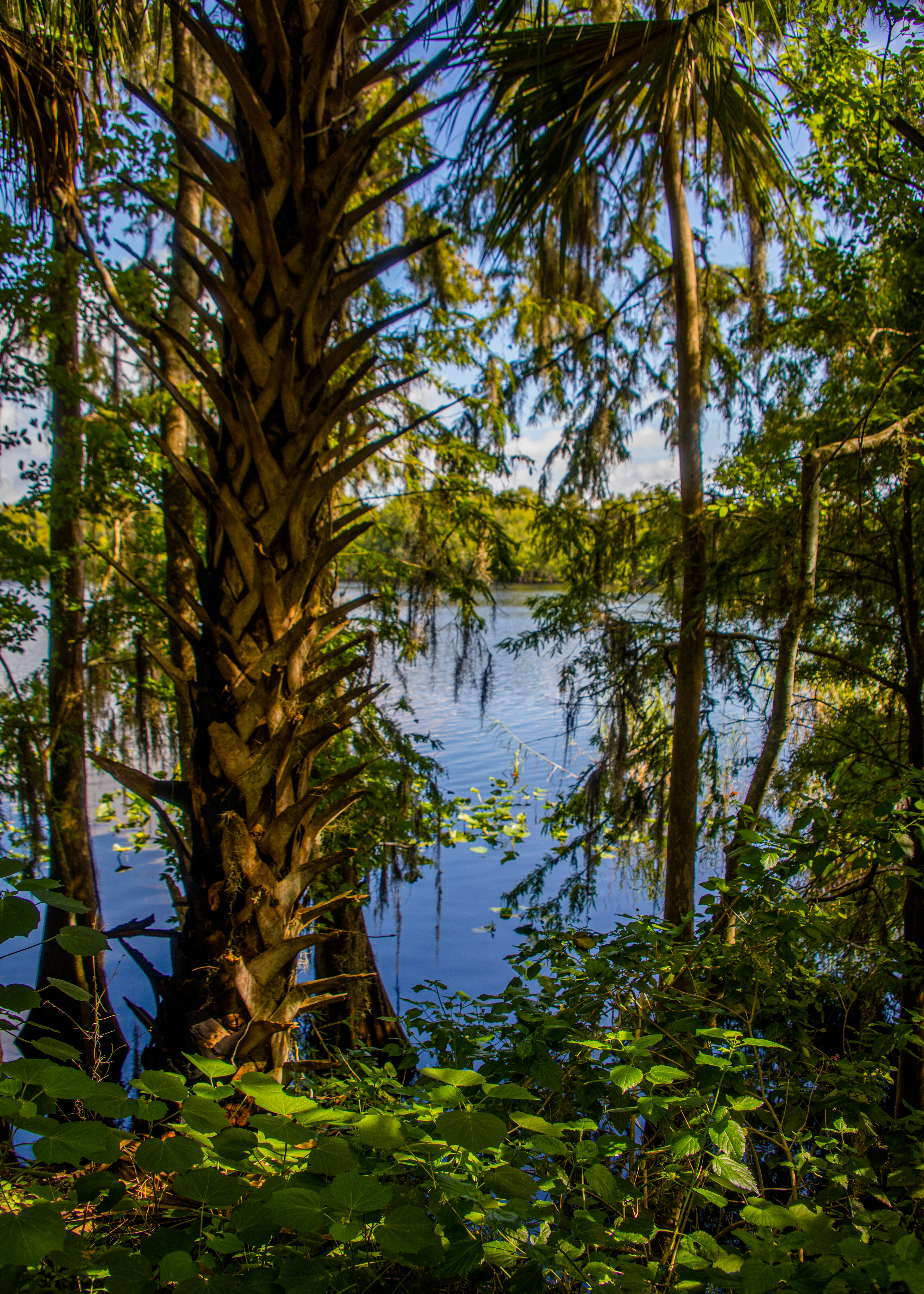
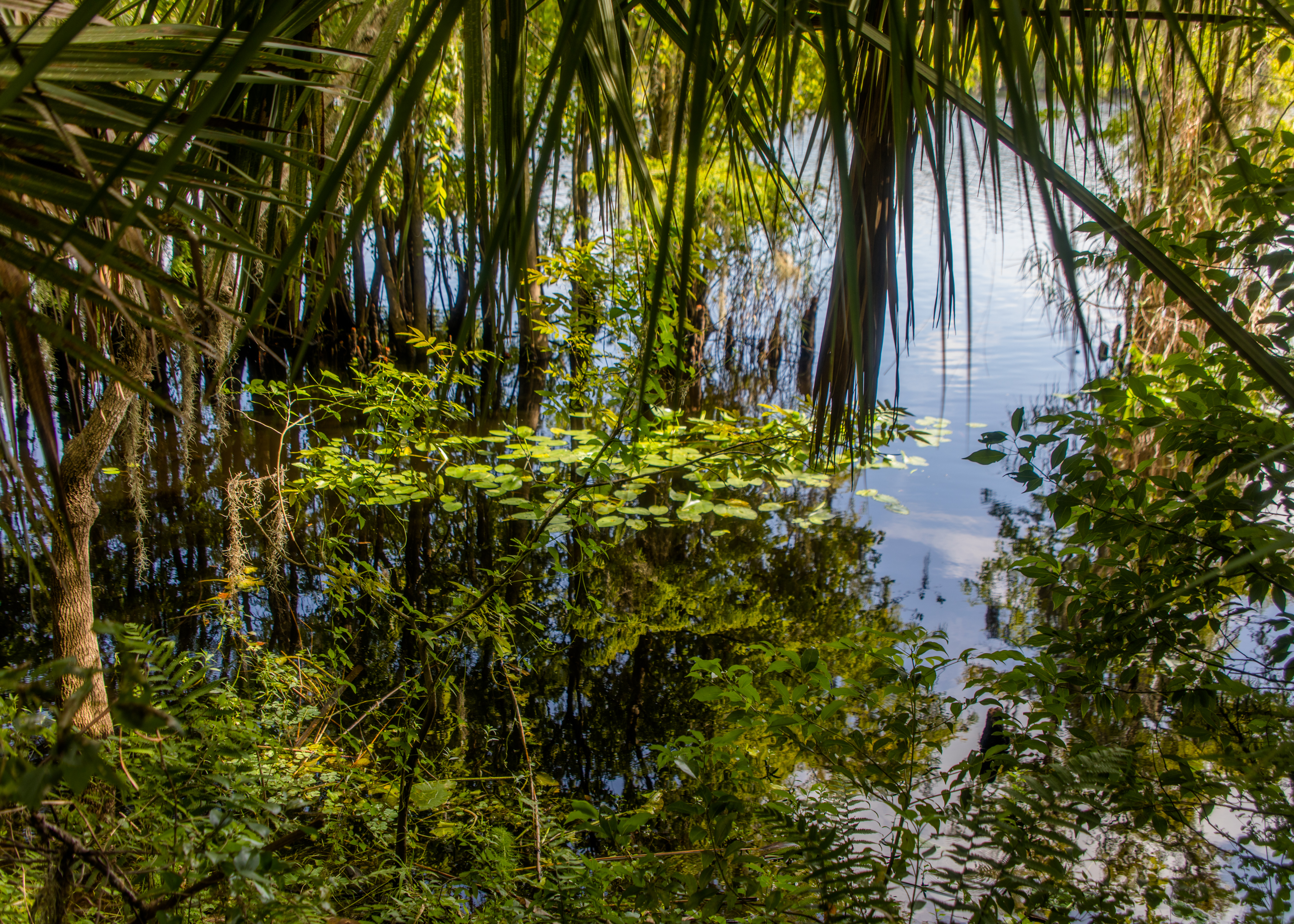
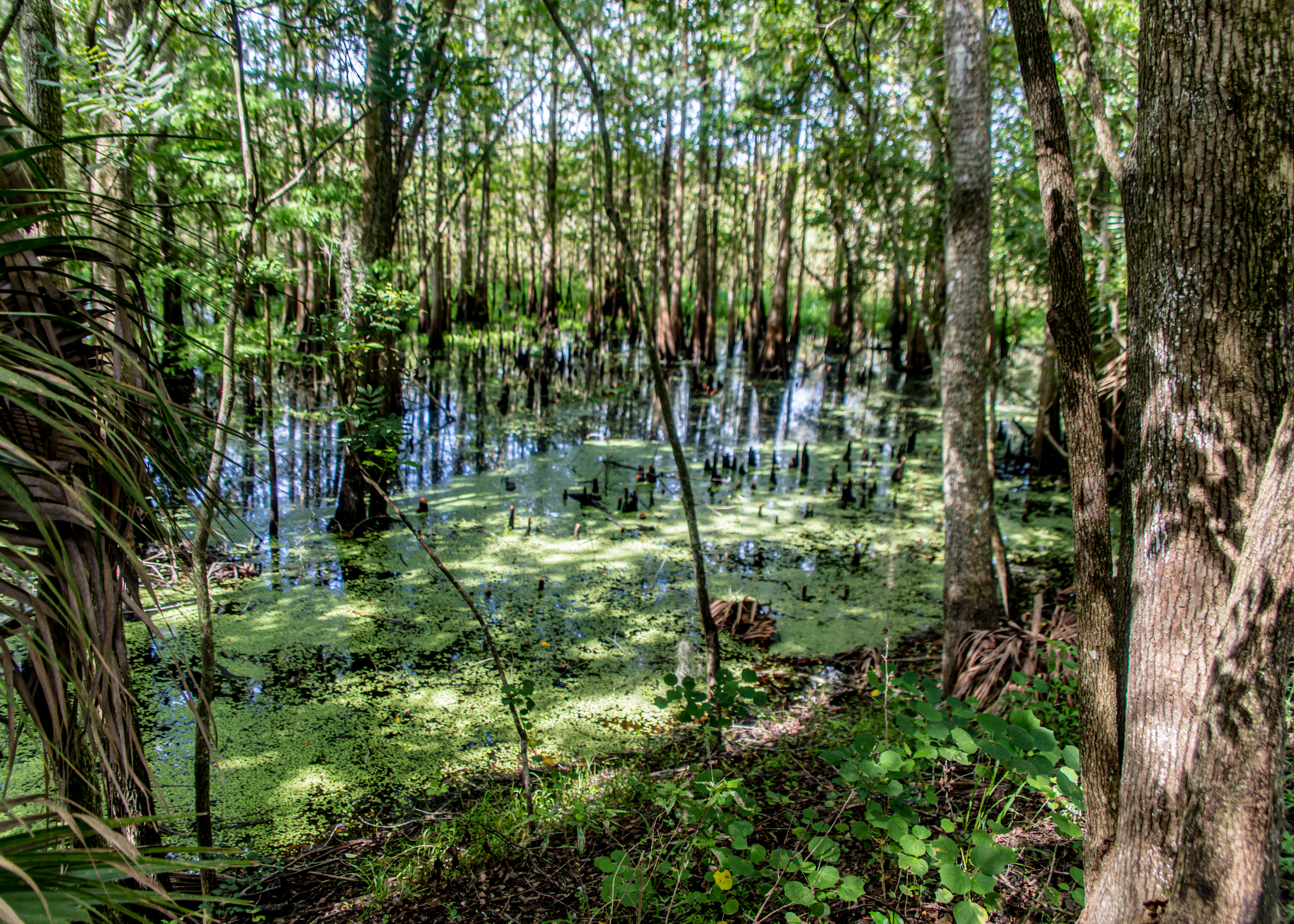
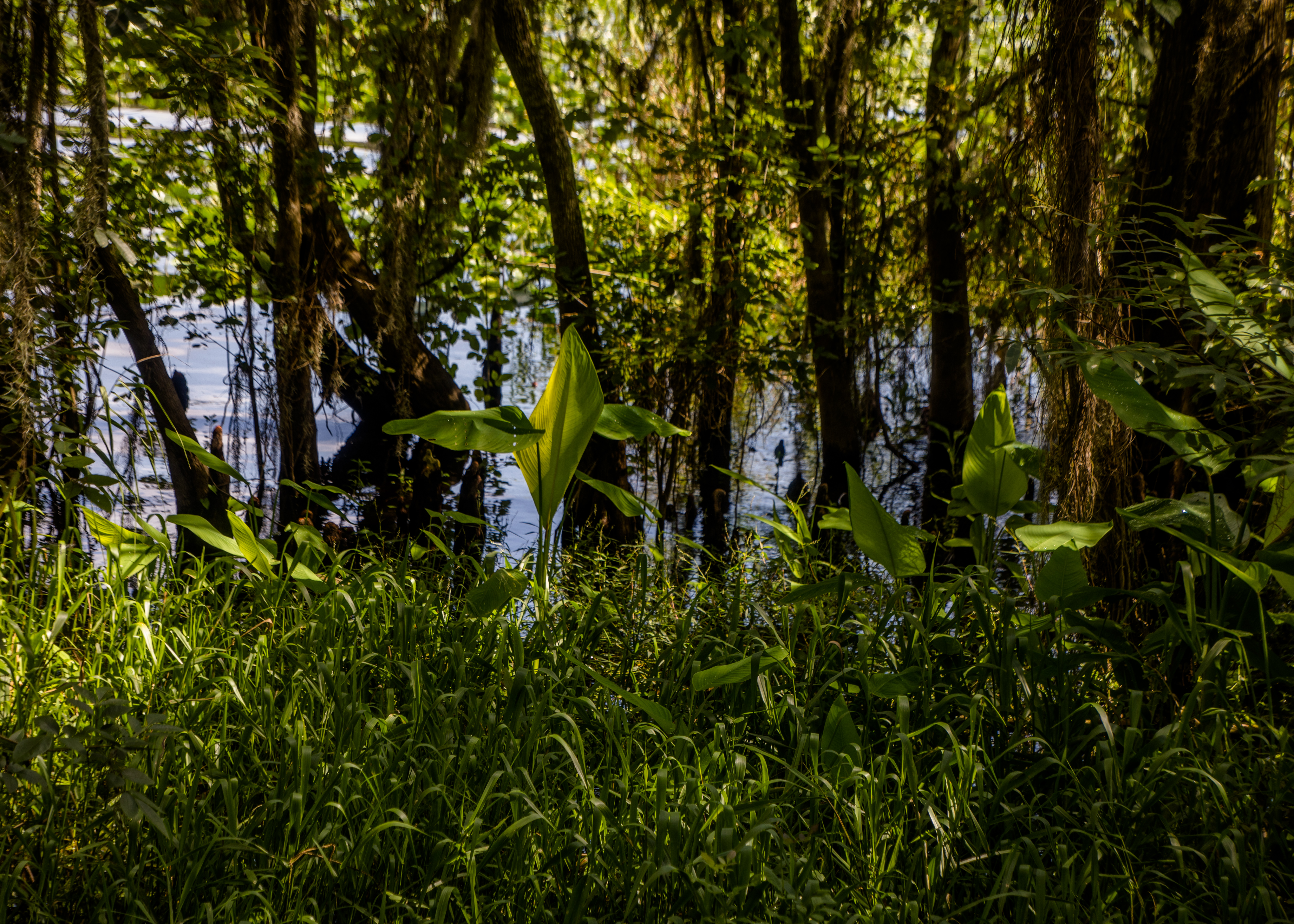
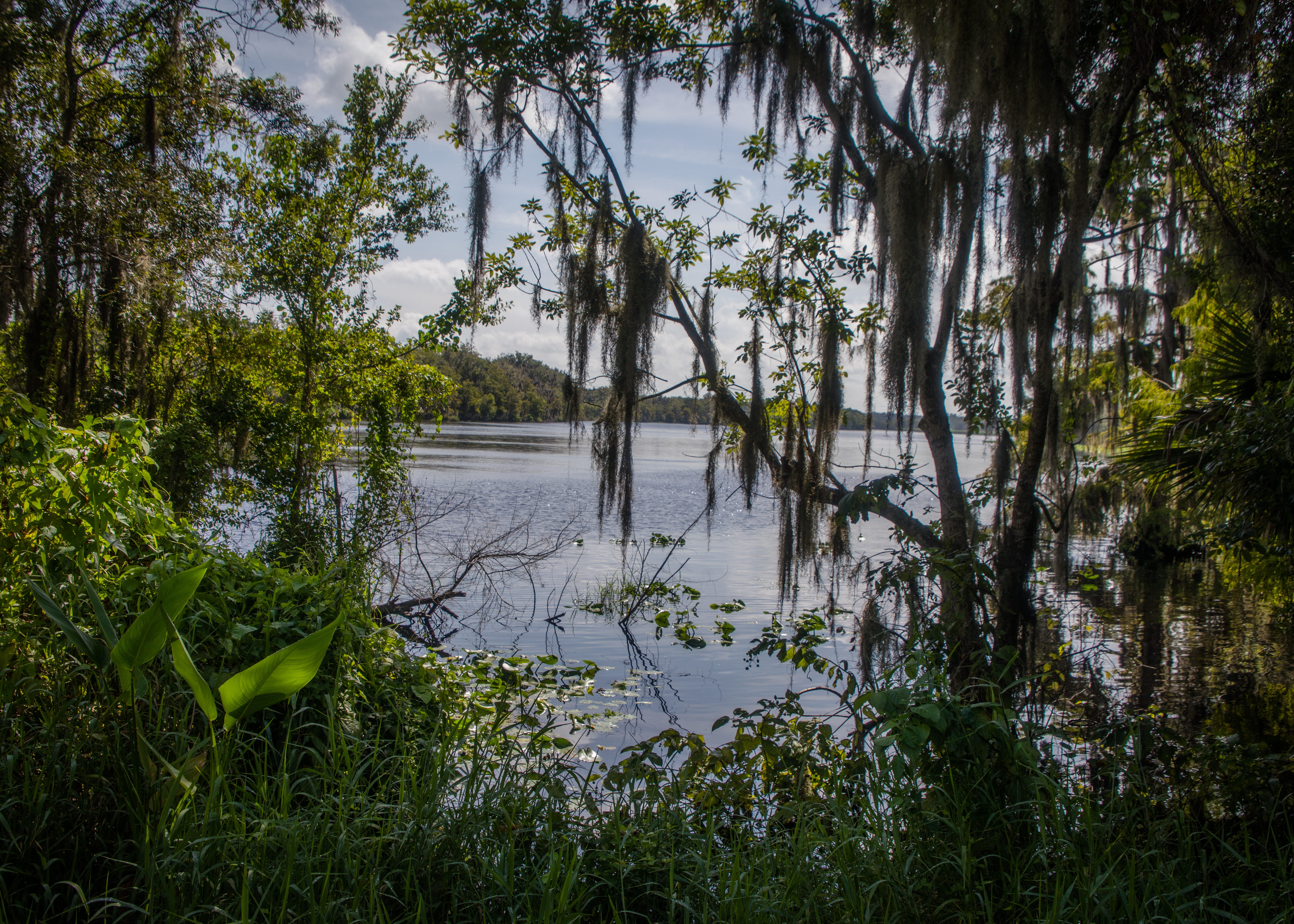
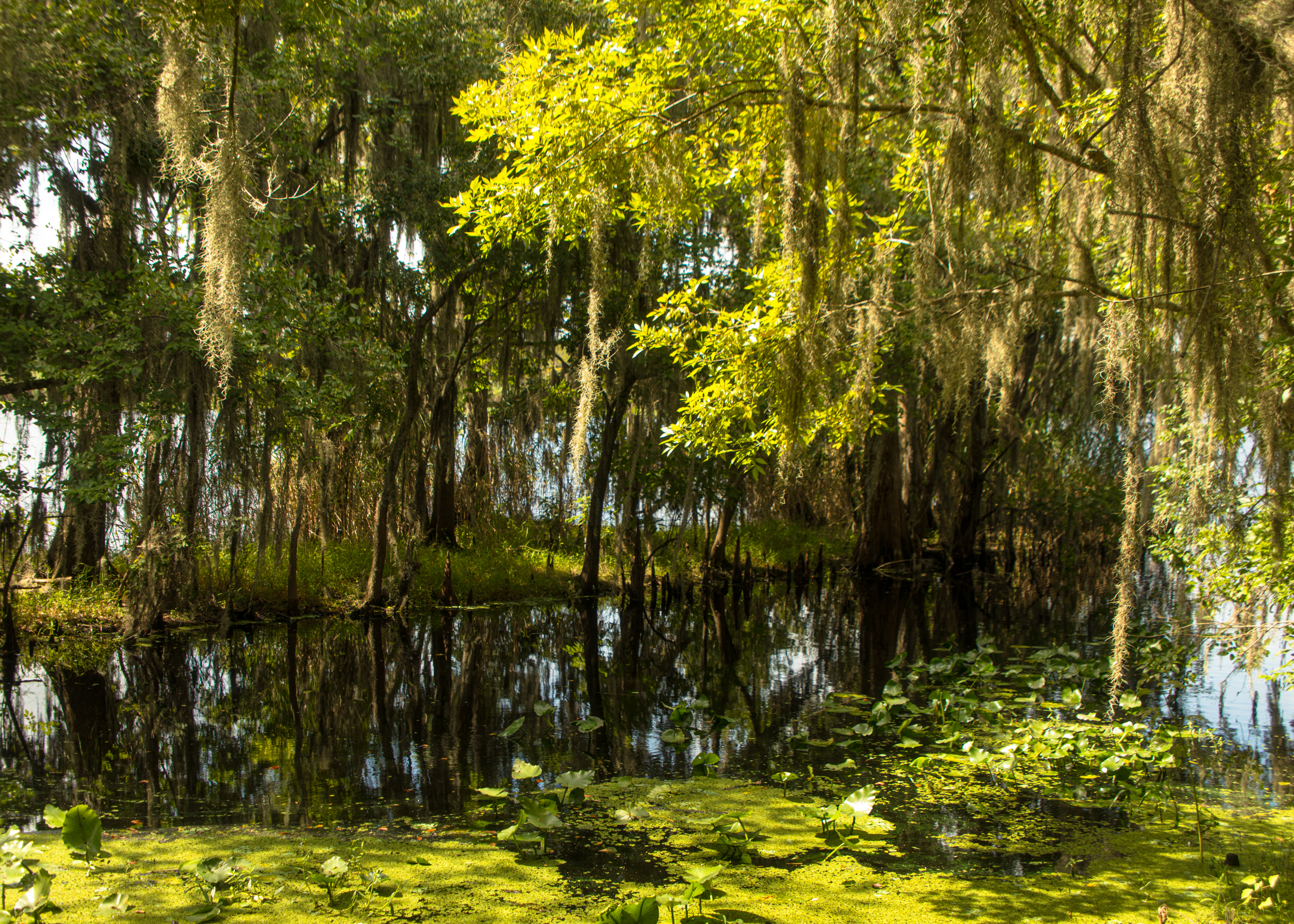
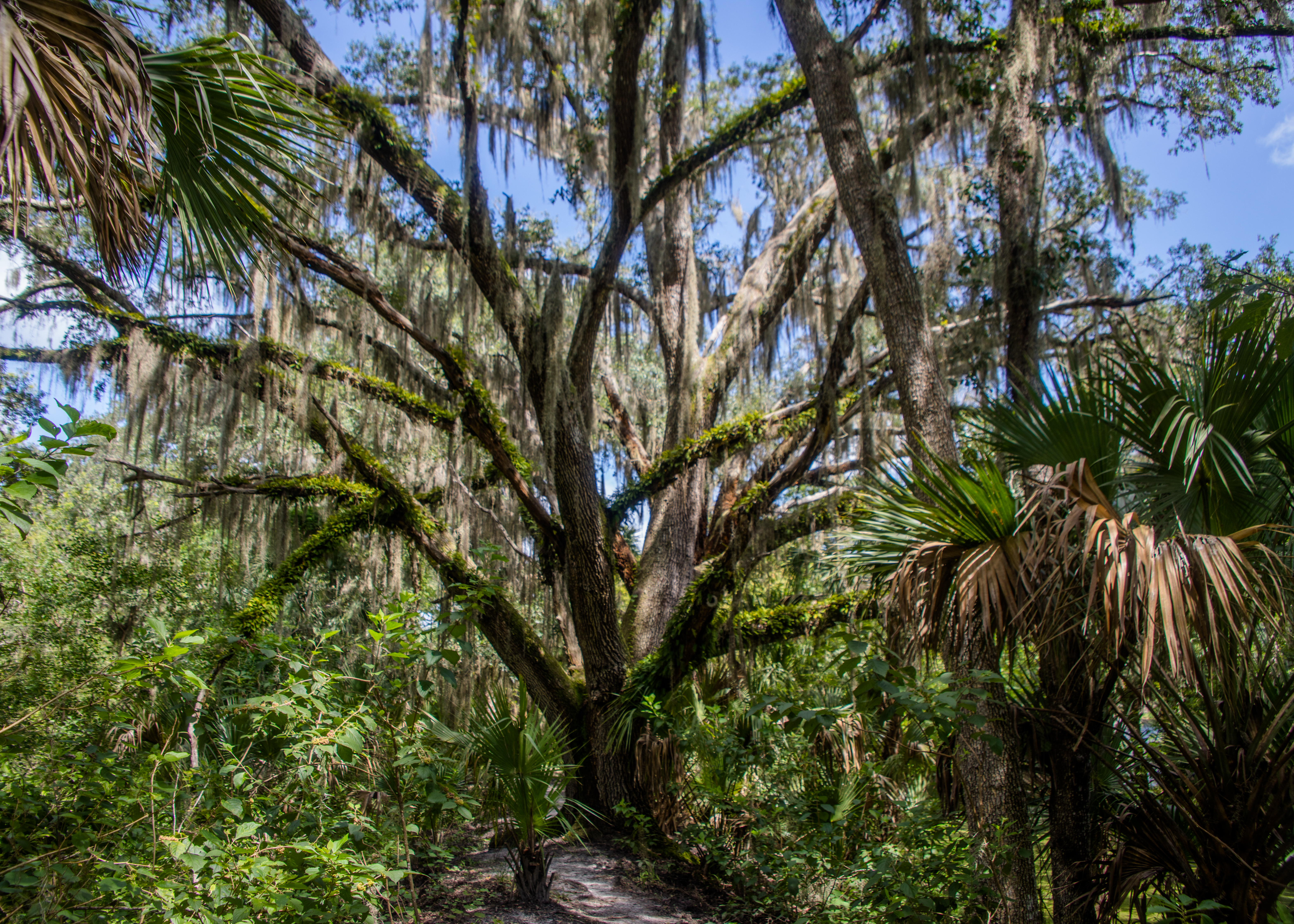
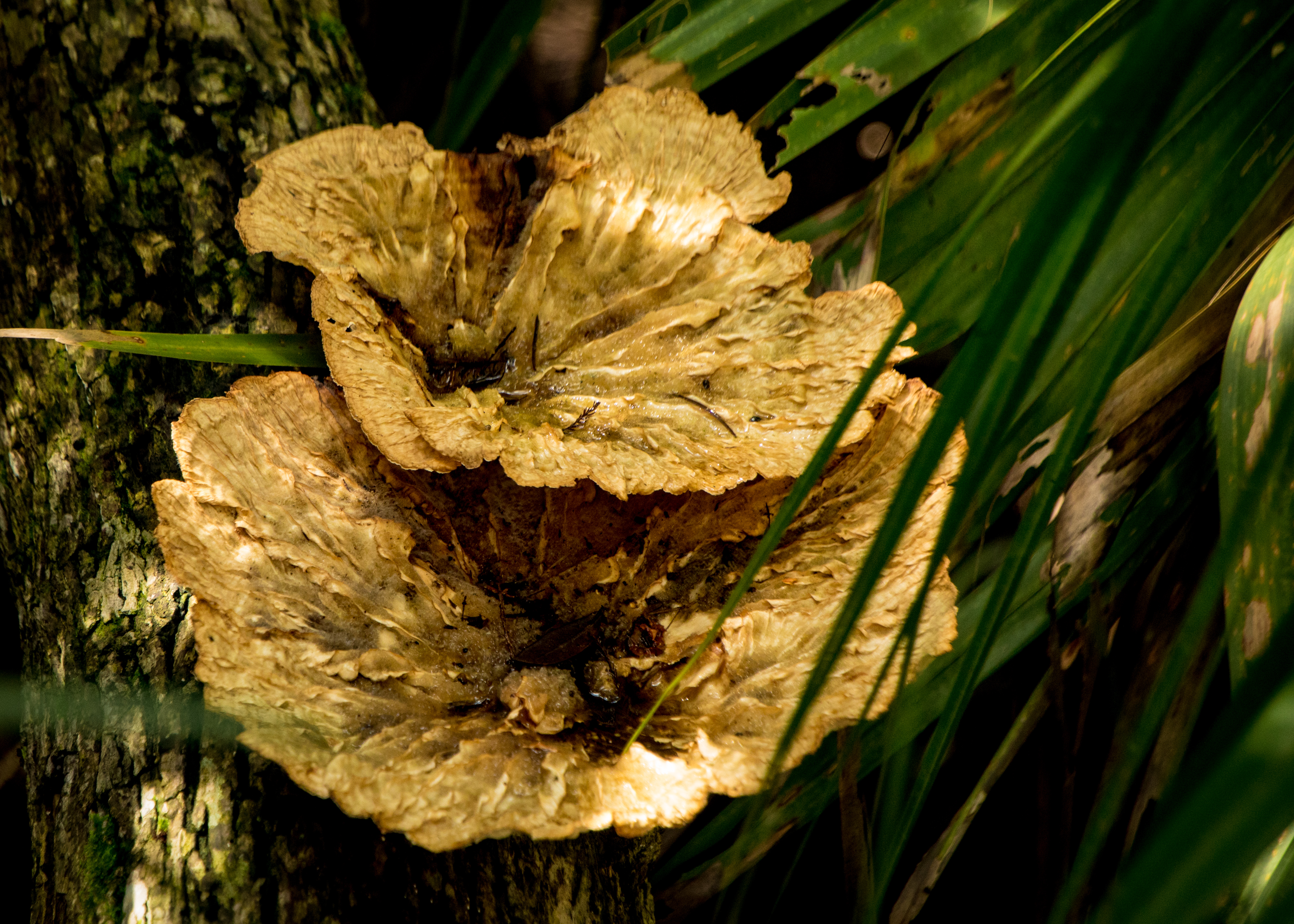
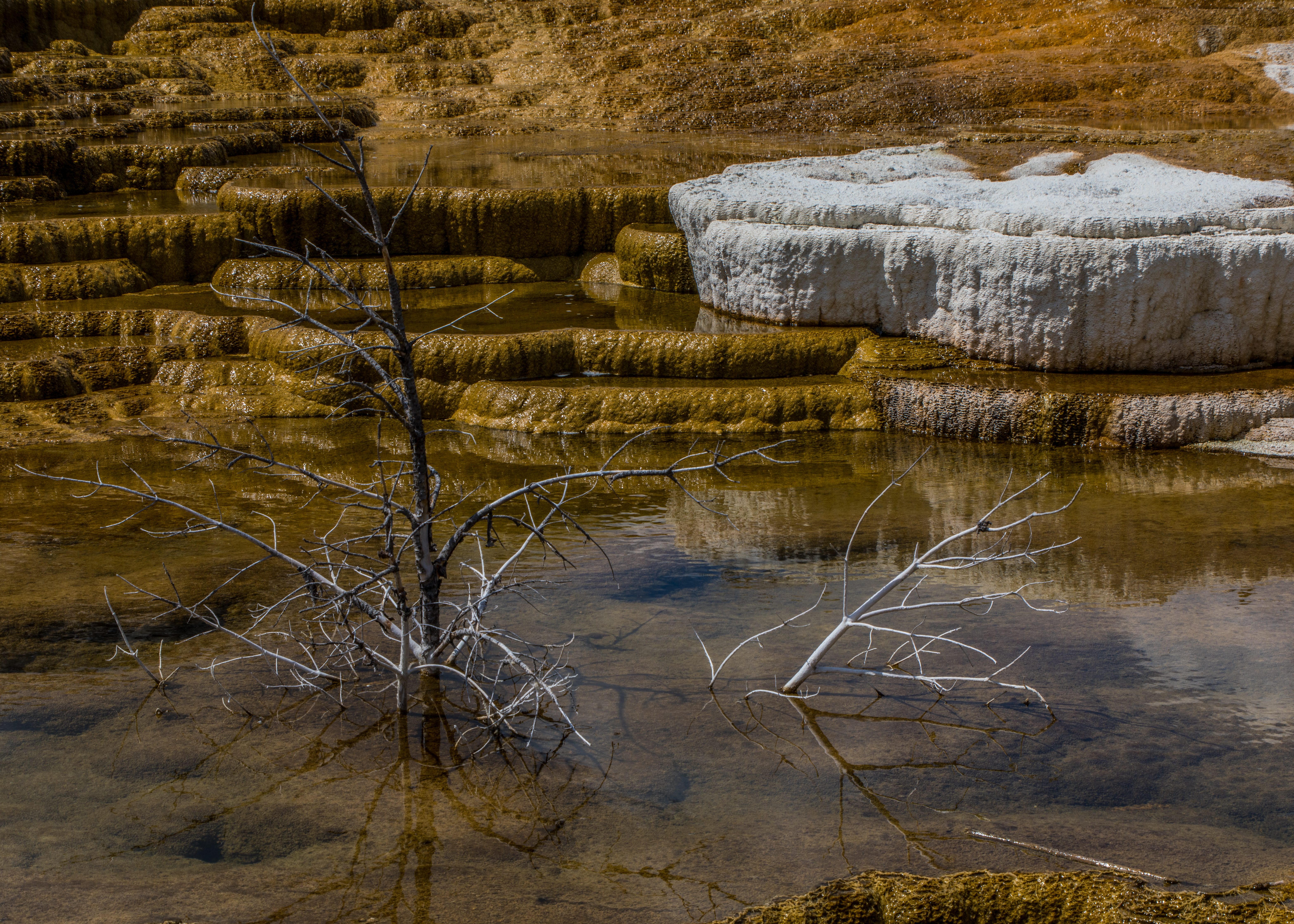
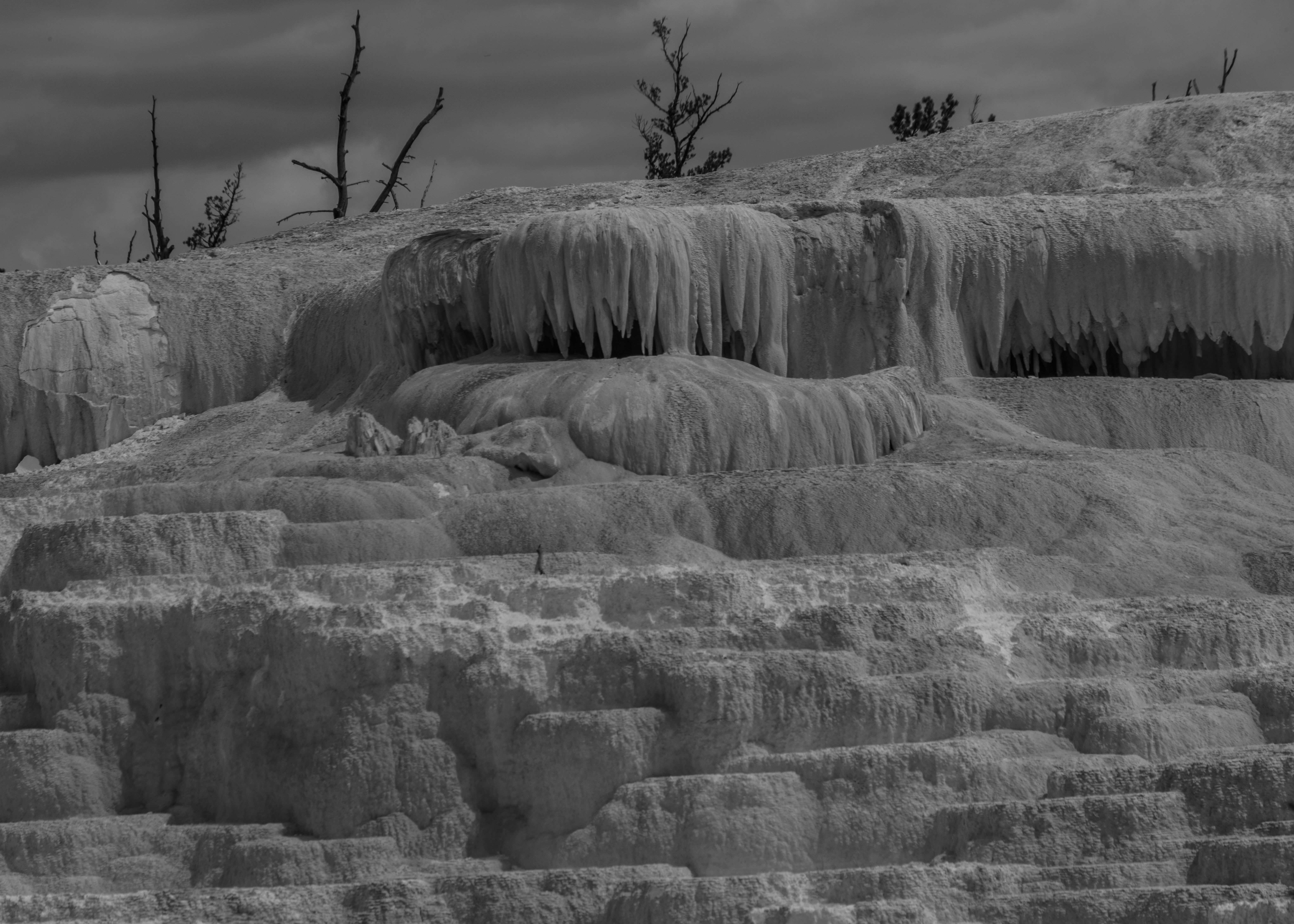
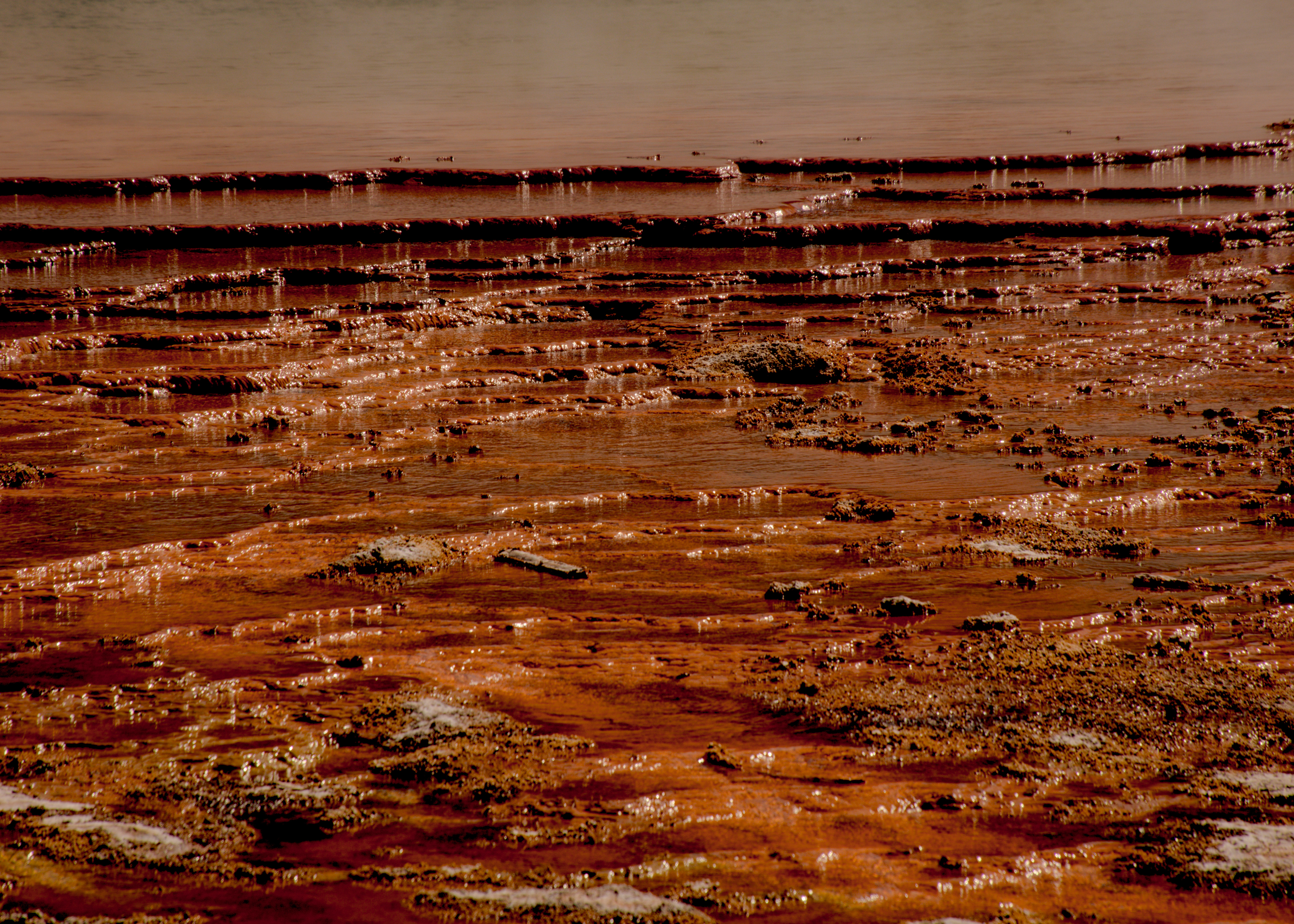
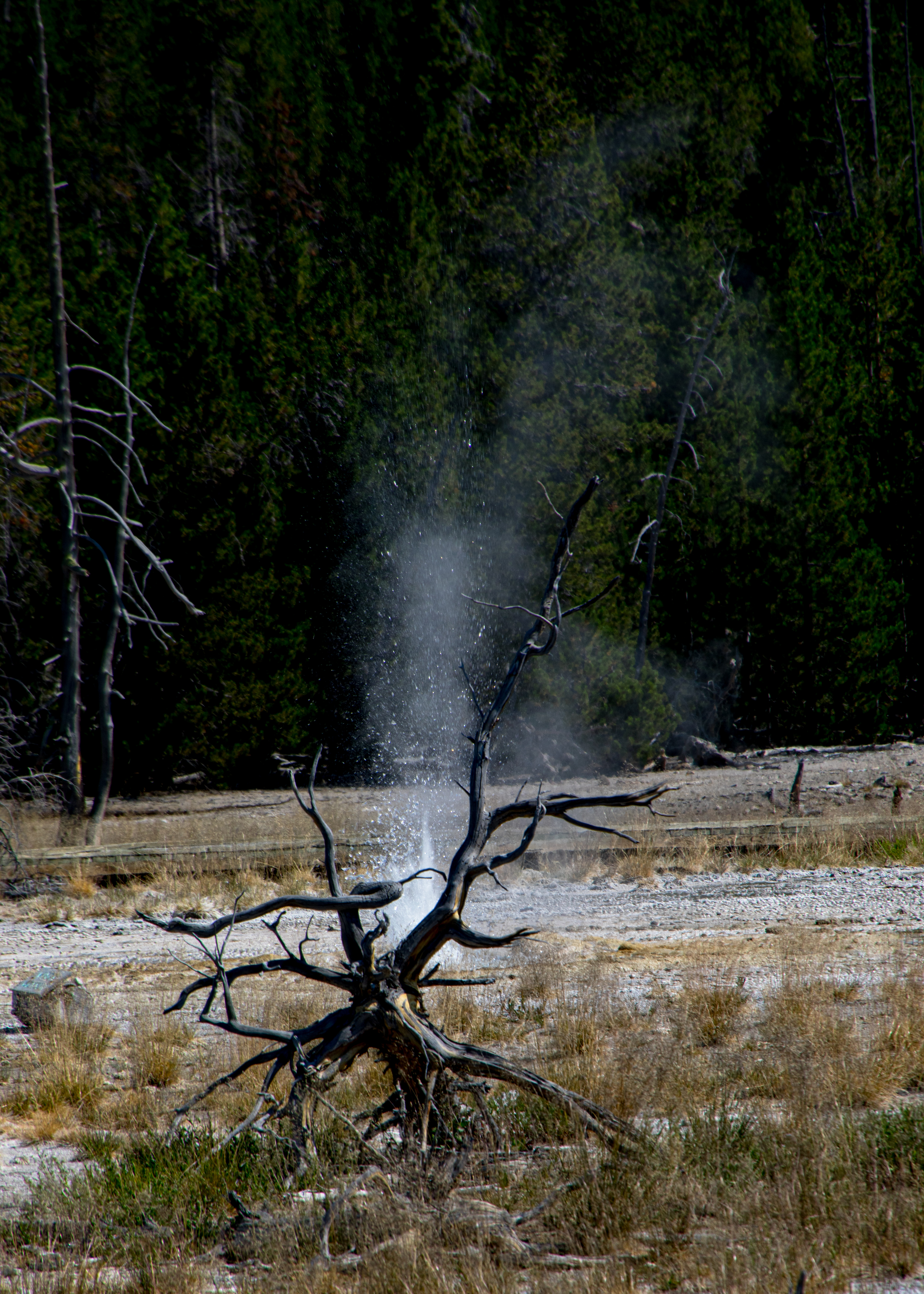
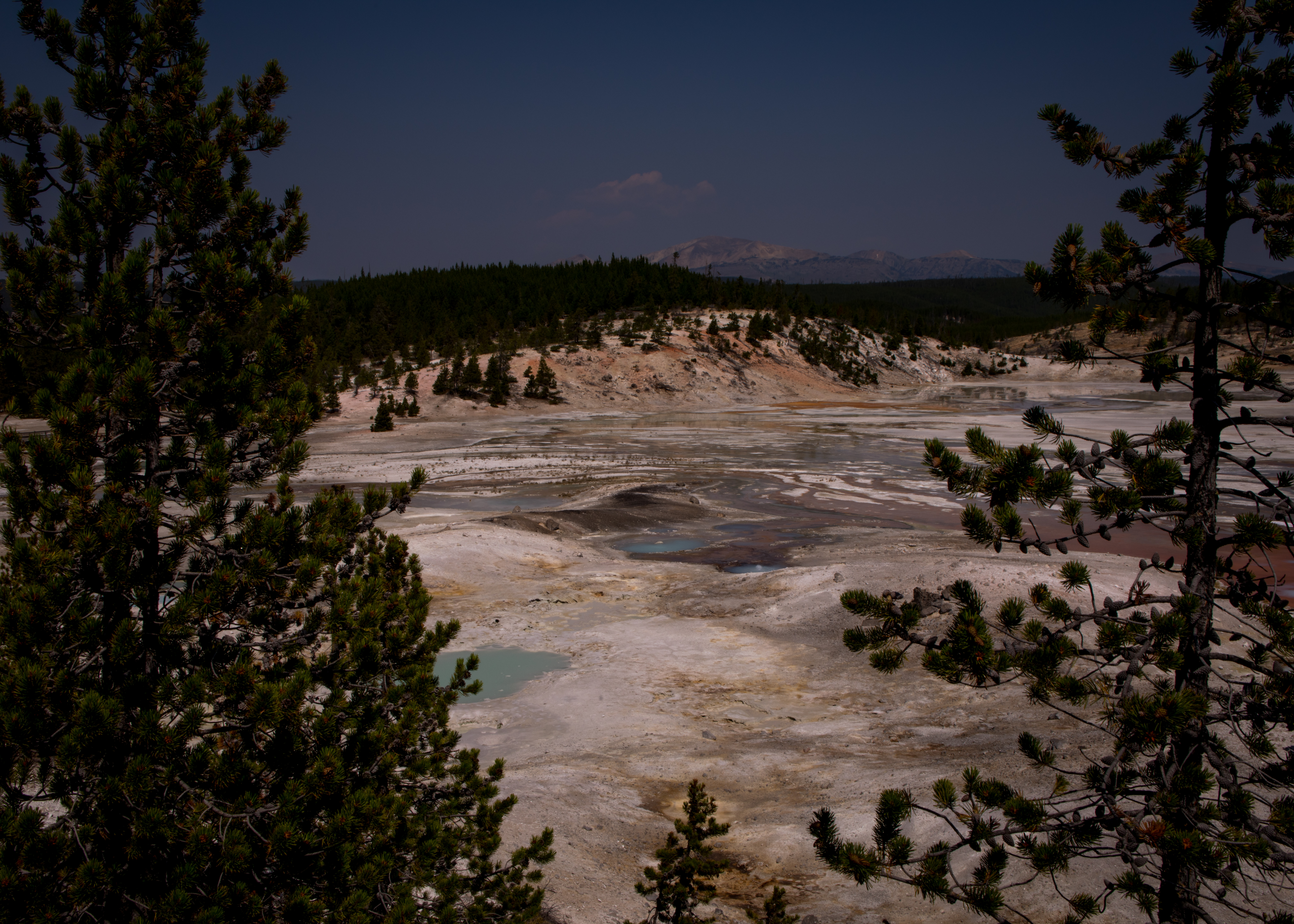
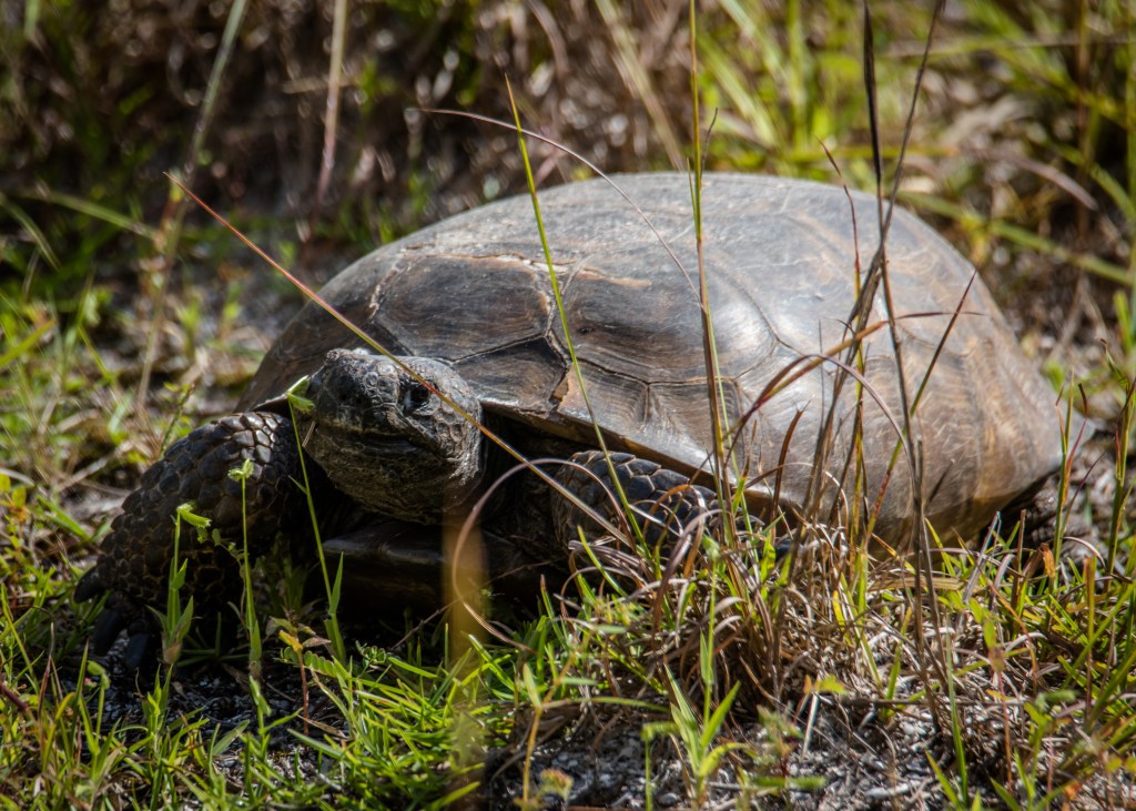
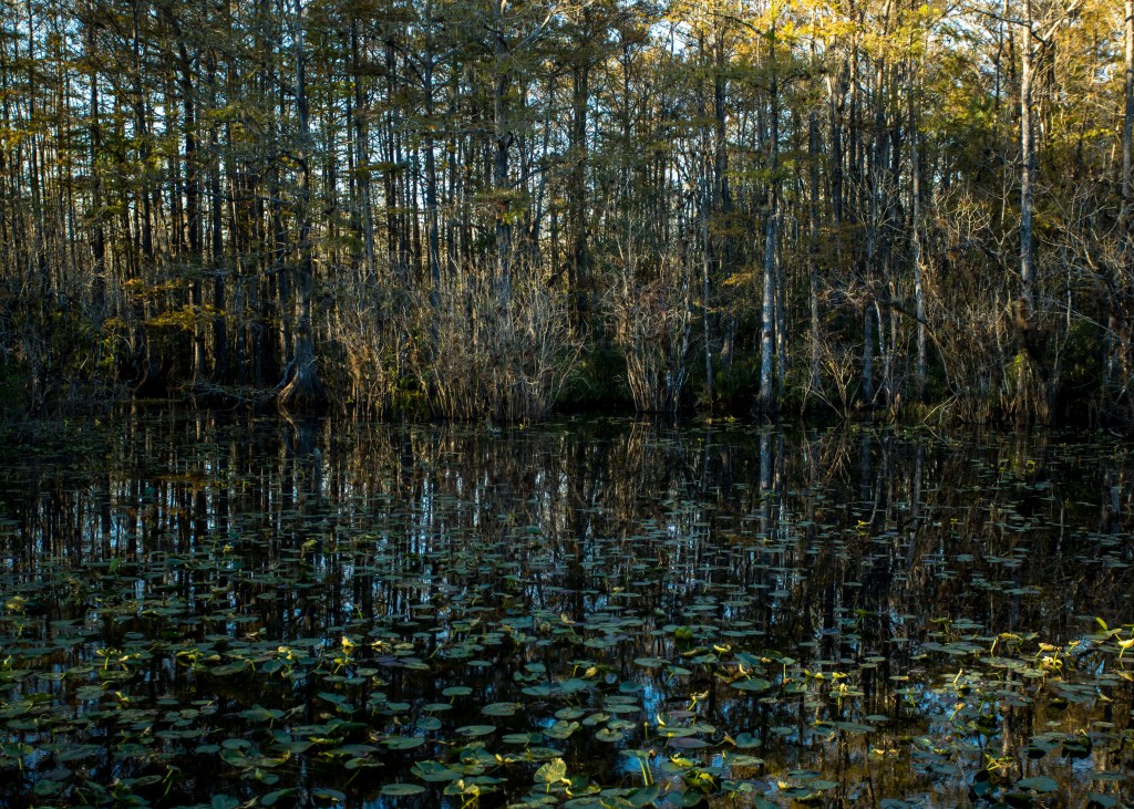
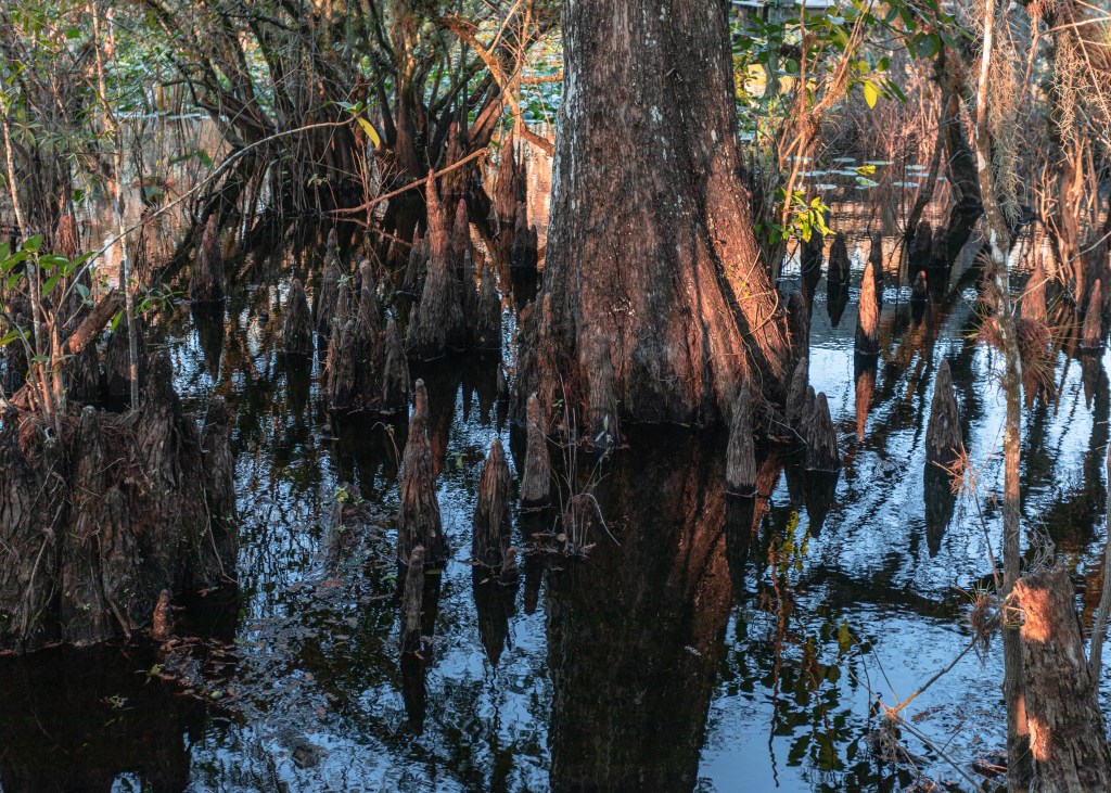
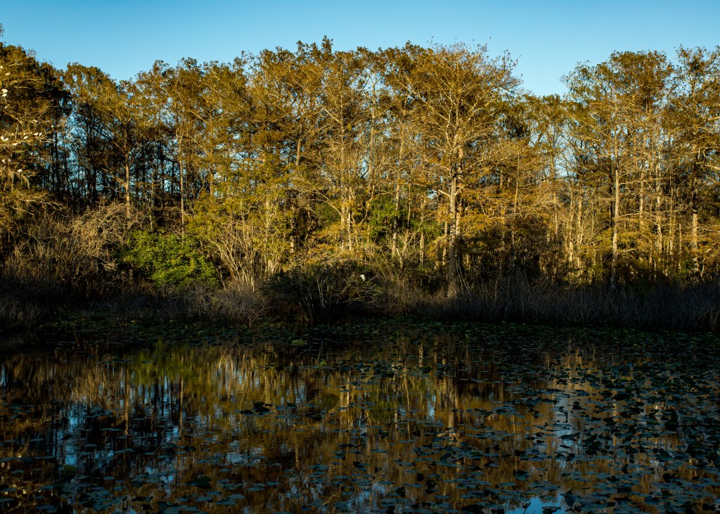
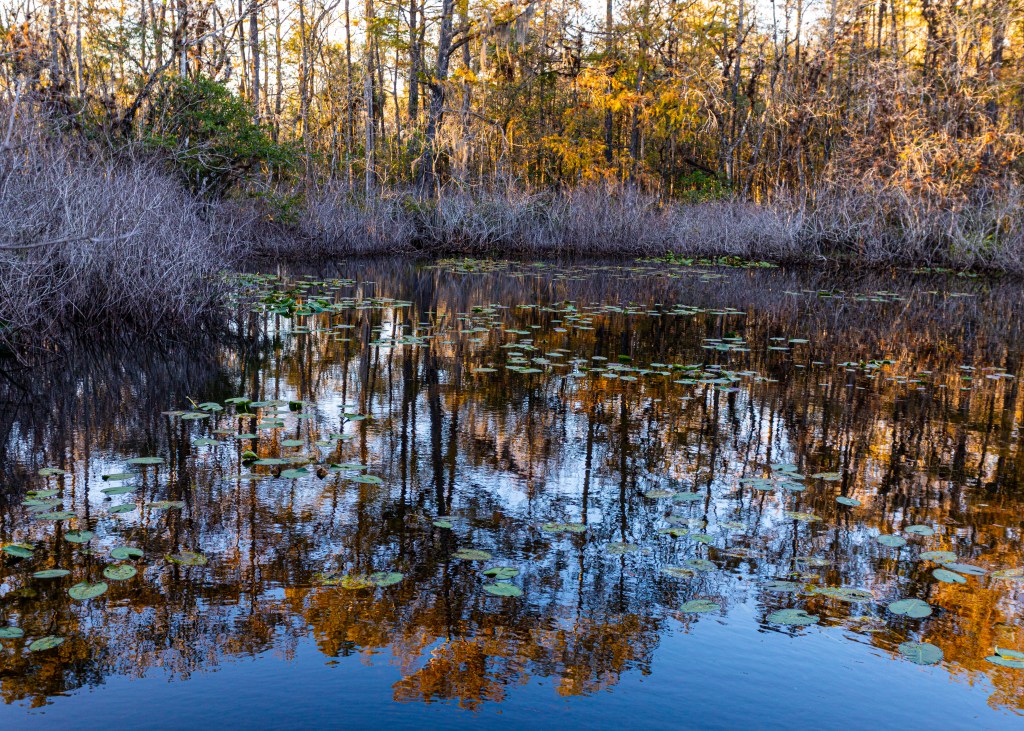
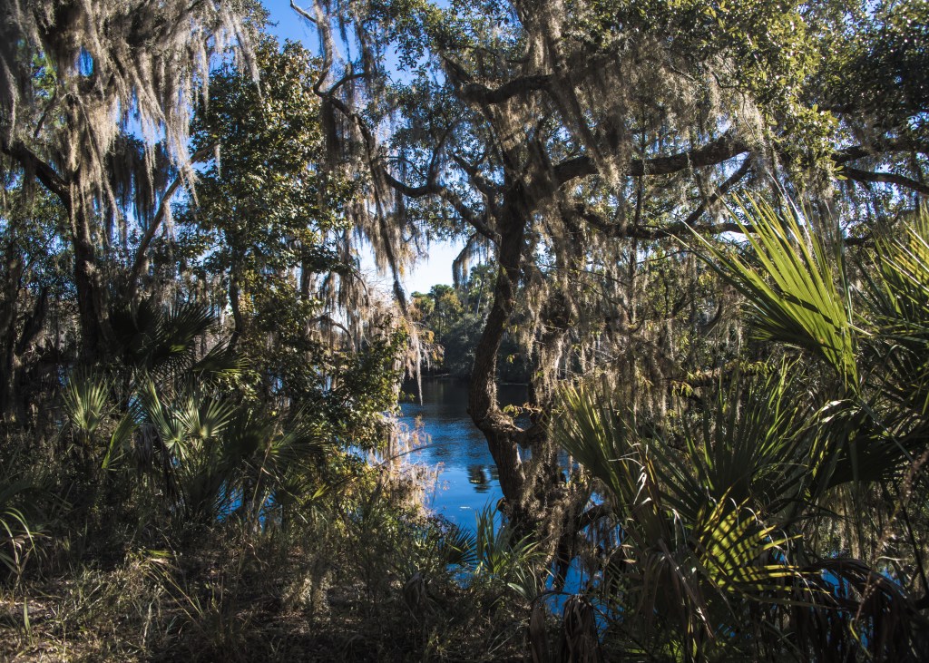
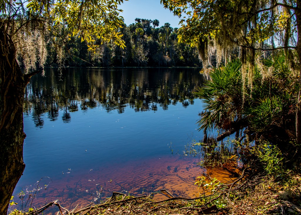
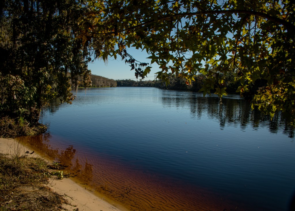
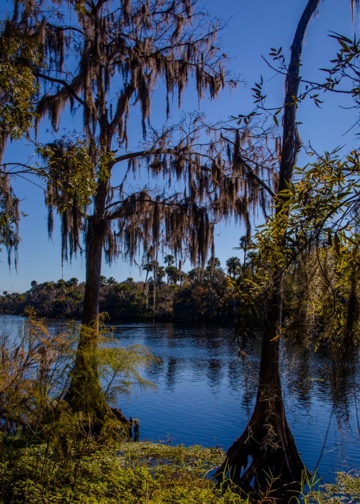
Silver Springs Forest Conservation Area
The tract includes 378 acres of wetlands along two creeks. The property provides a buffer where forests capture rainwater to recharge the aquifer and augment the flow of nearby Silver Springs. www.sjrwmd.com/lands/recreation/silver-springs/
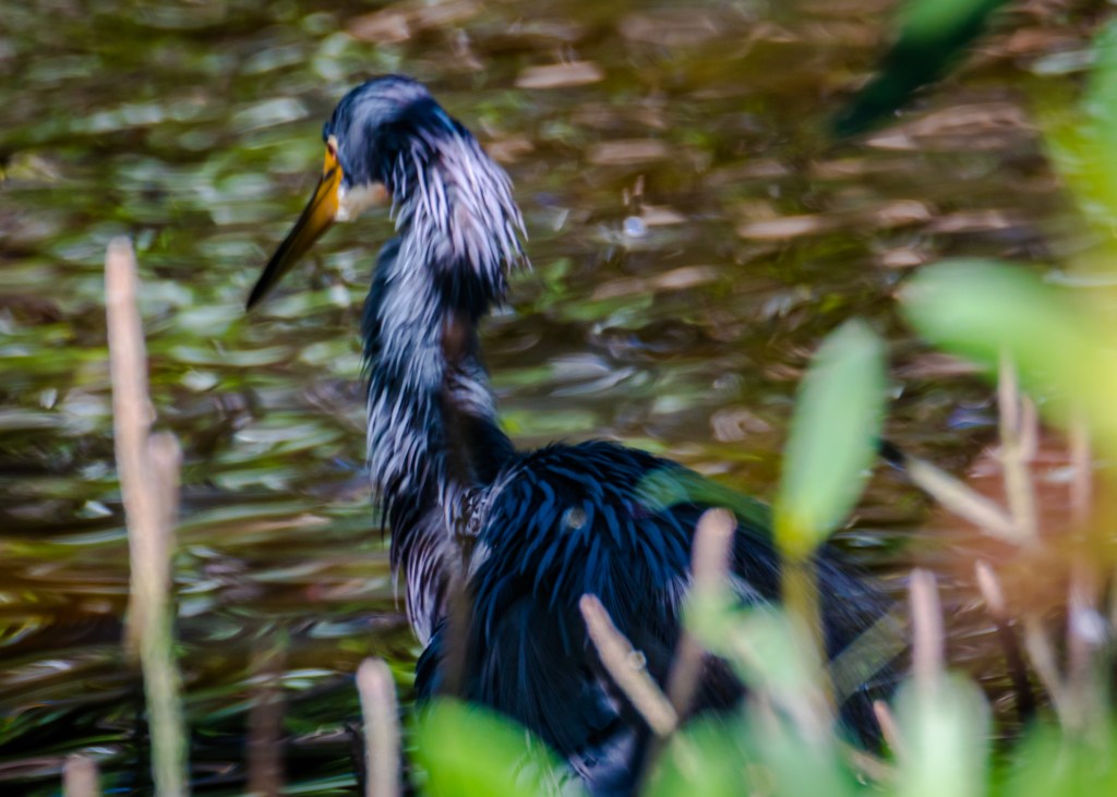
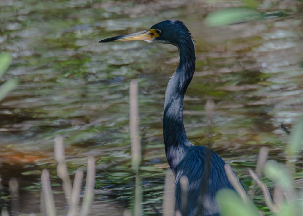
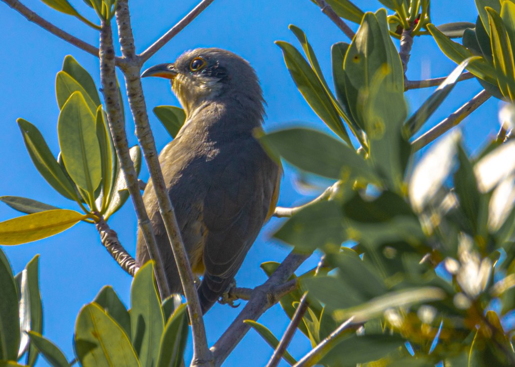
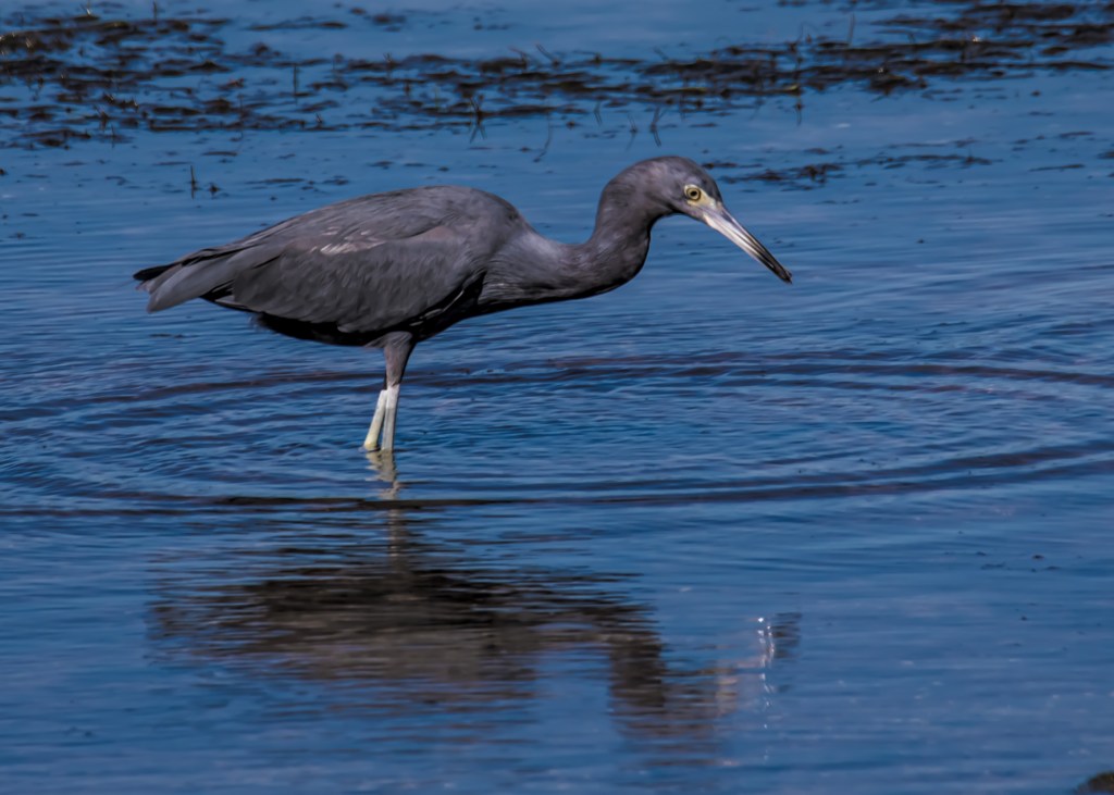
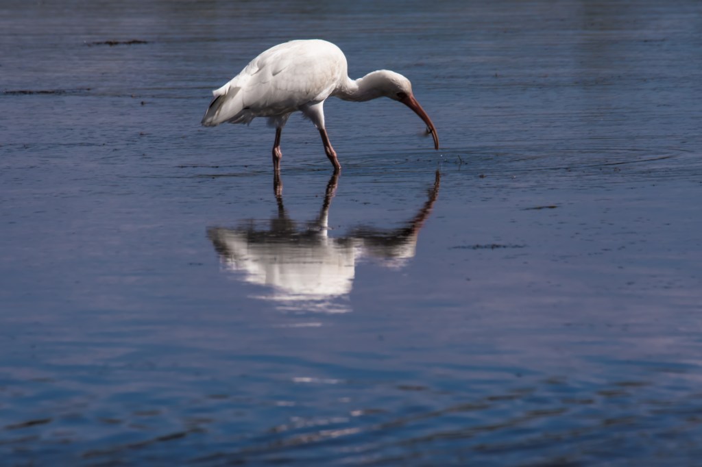
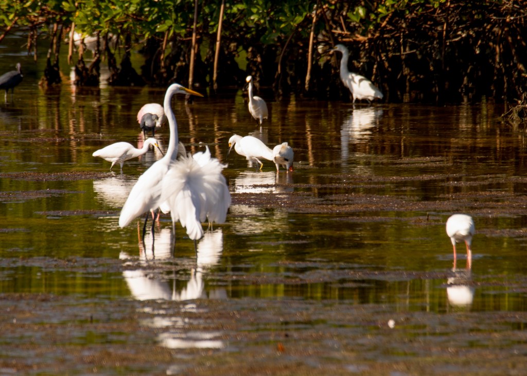
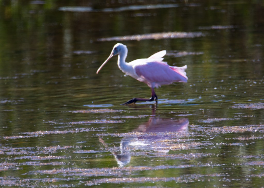
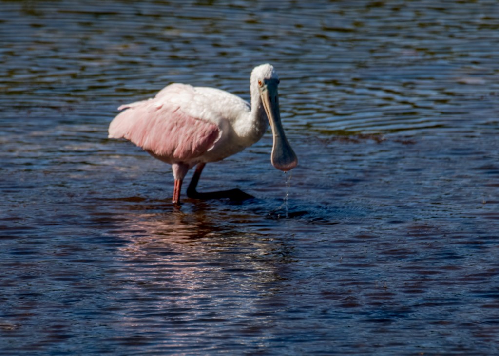
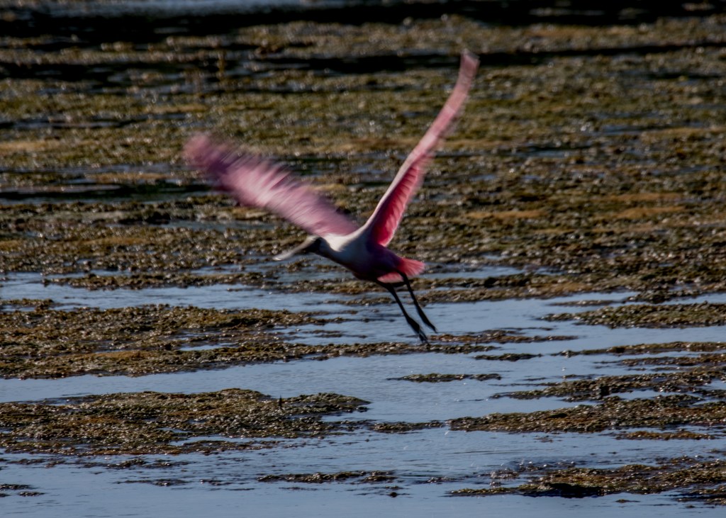
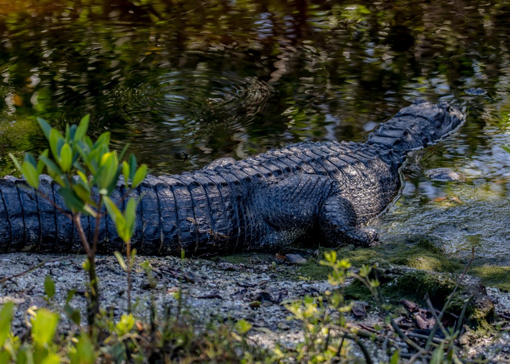
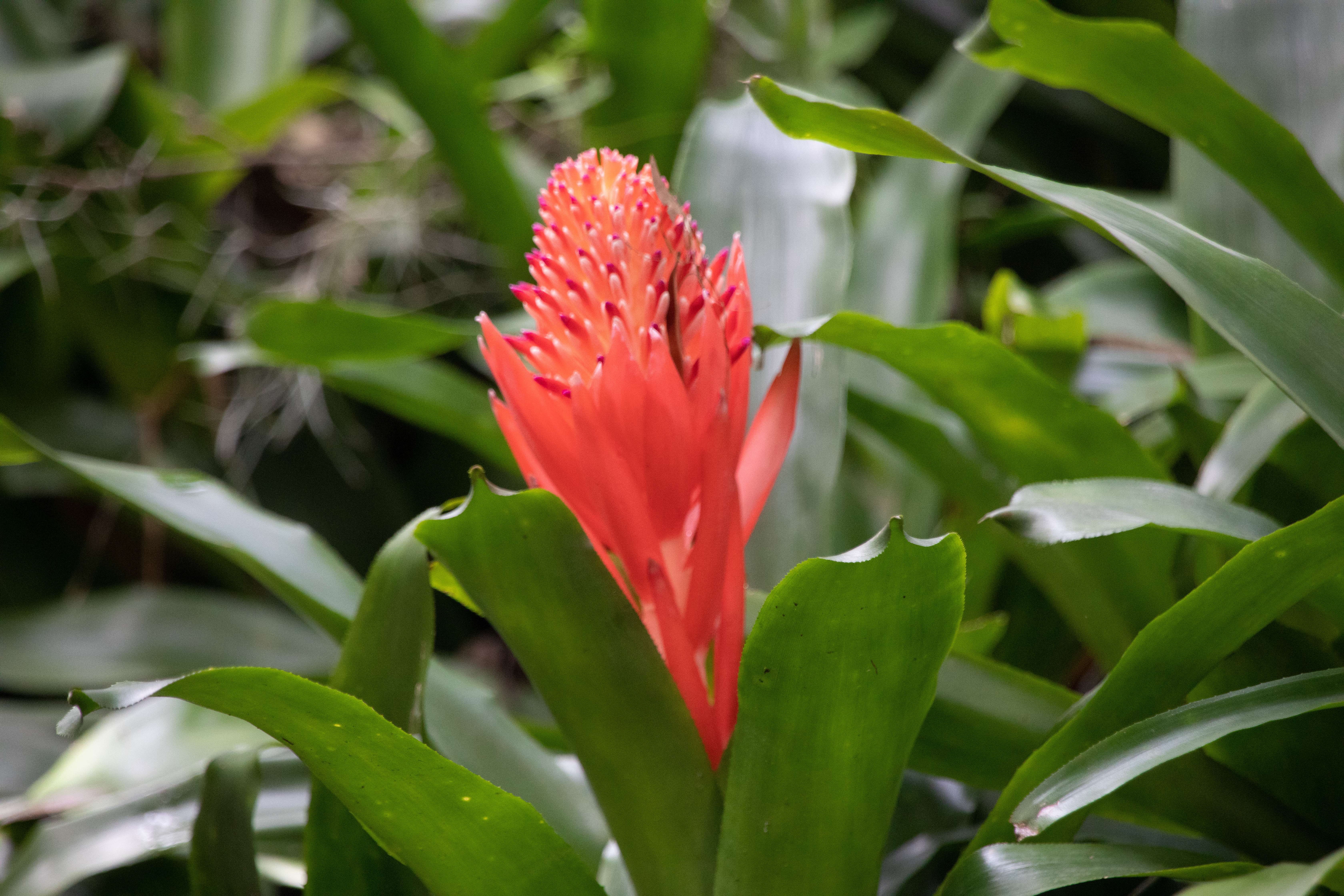
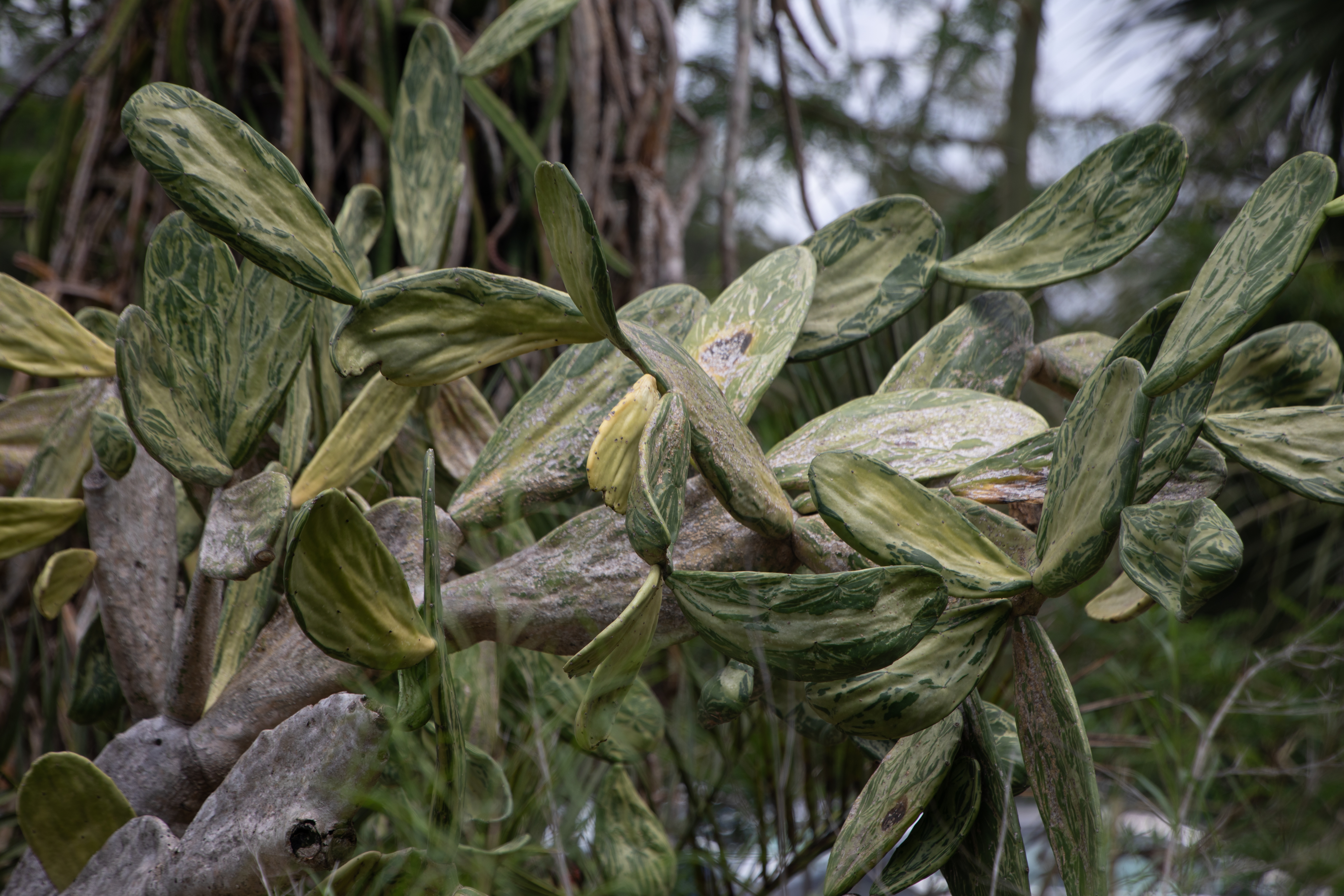
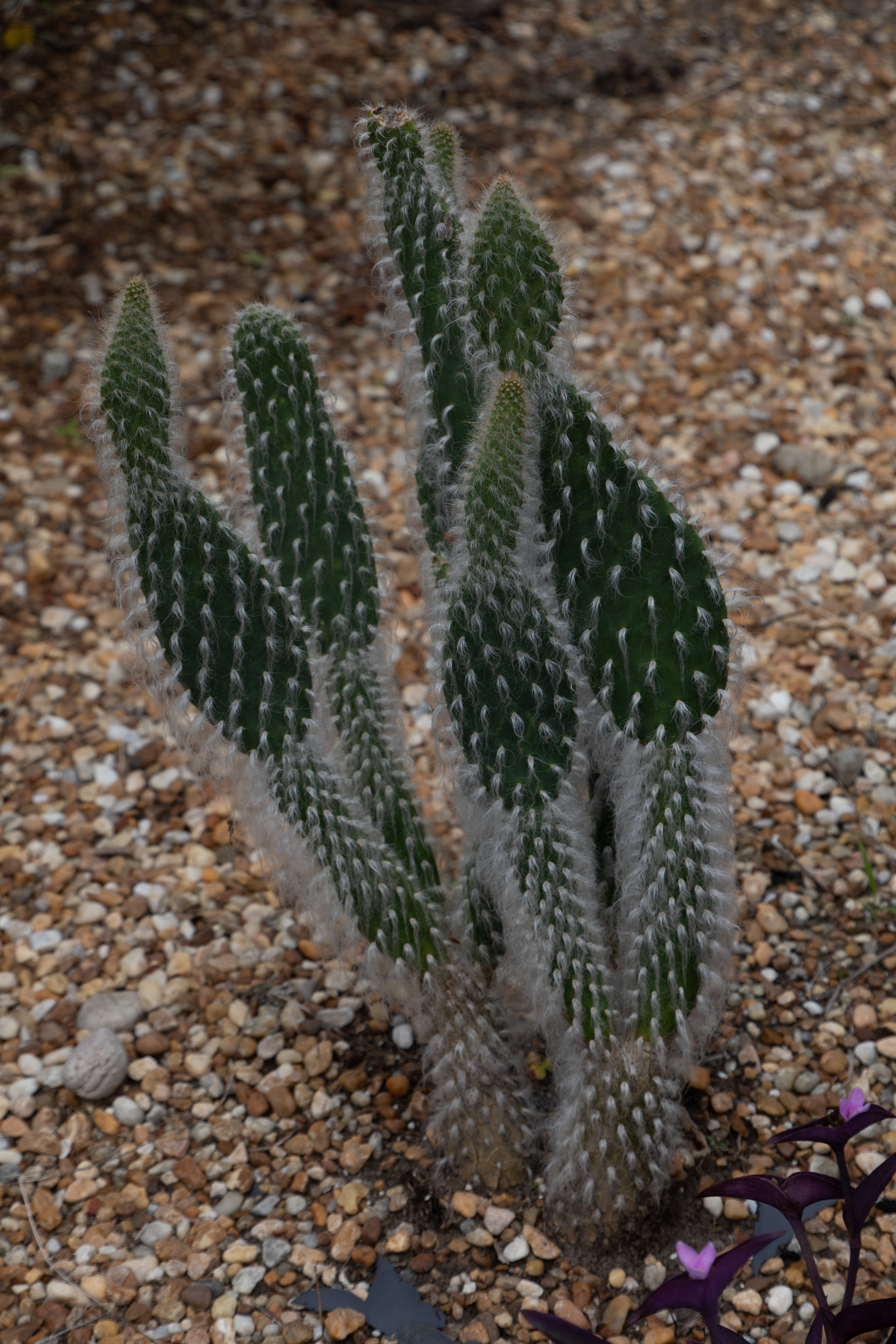
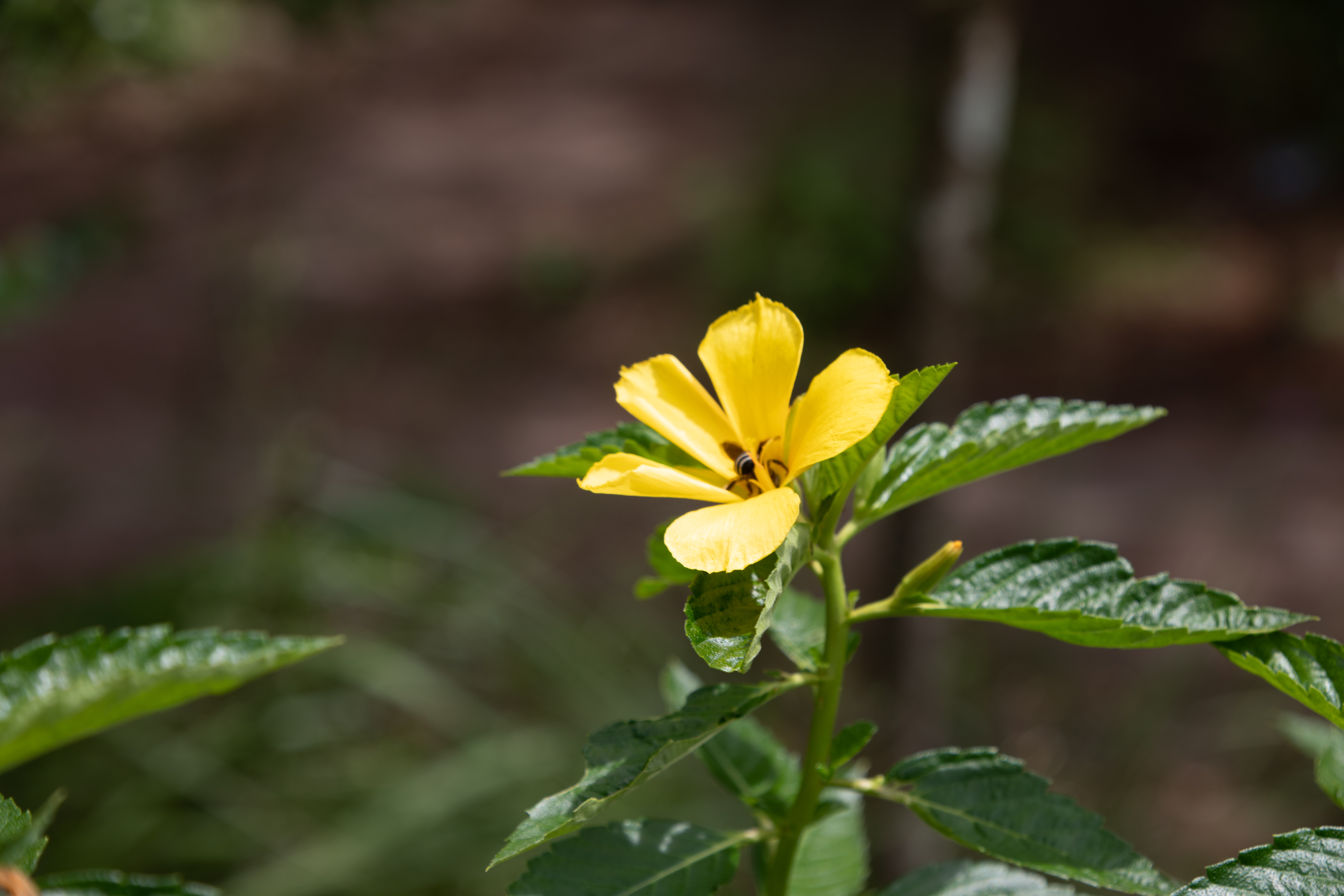
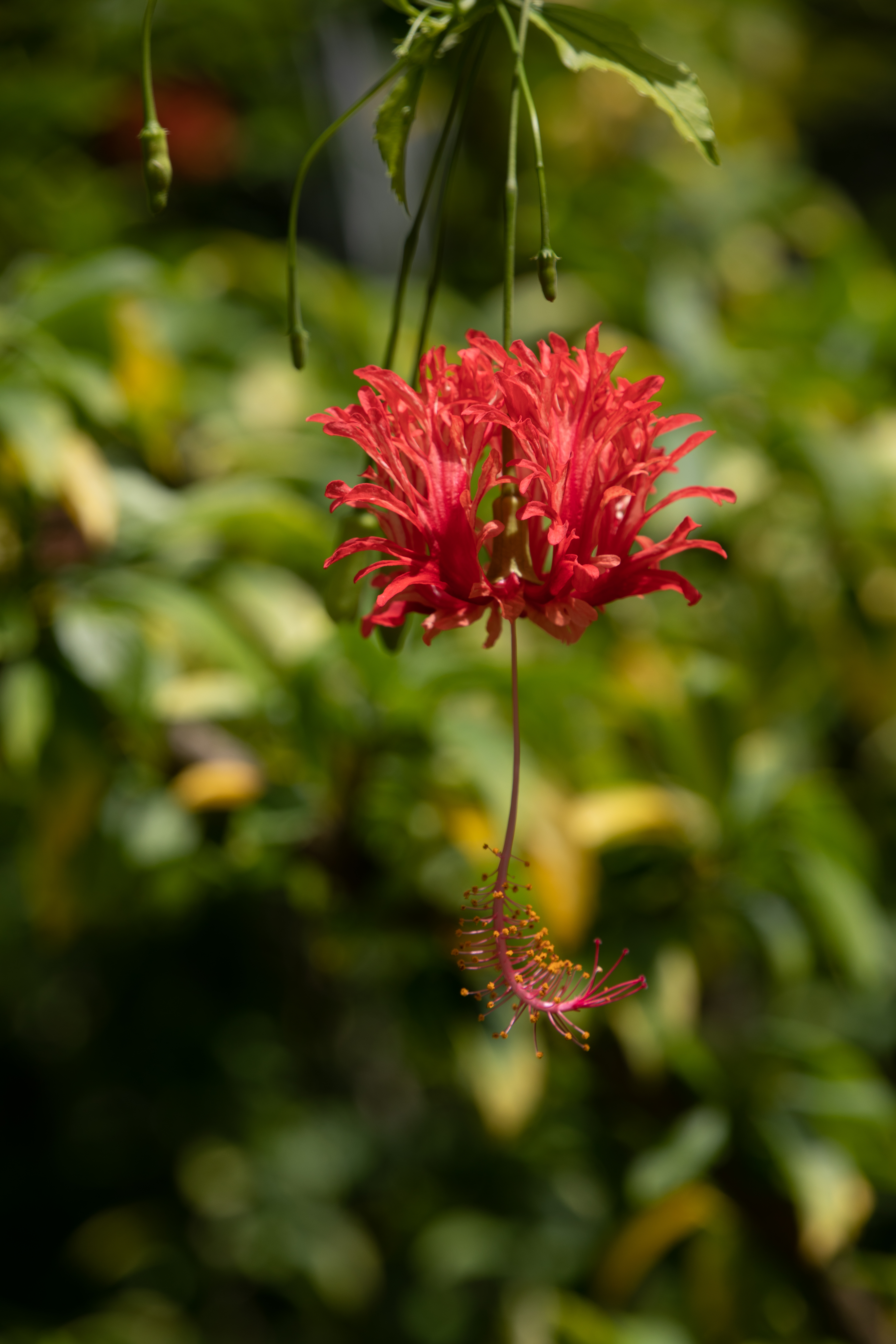
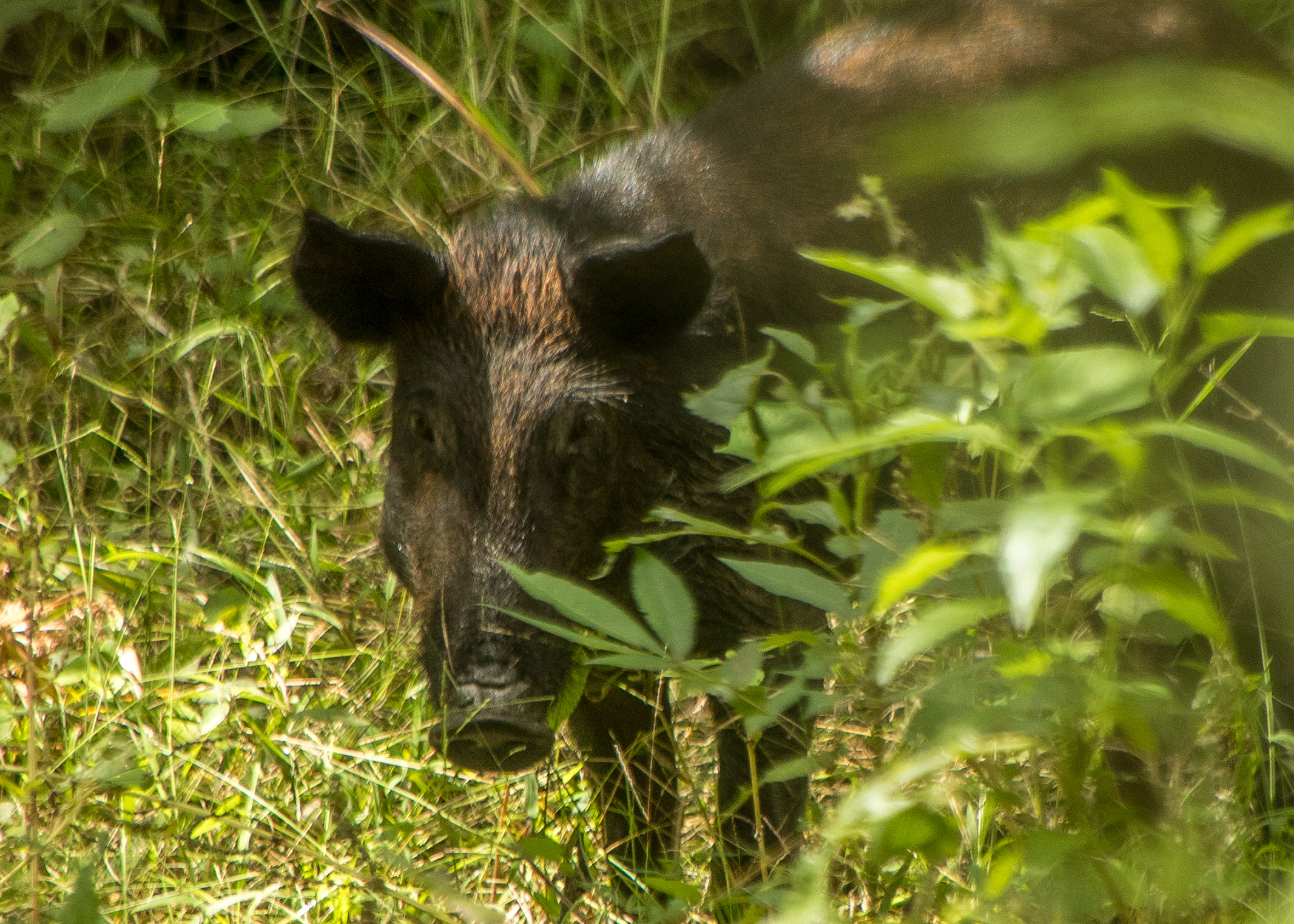
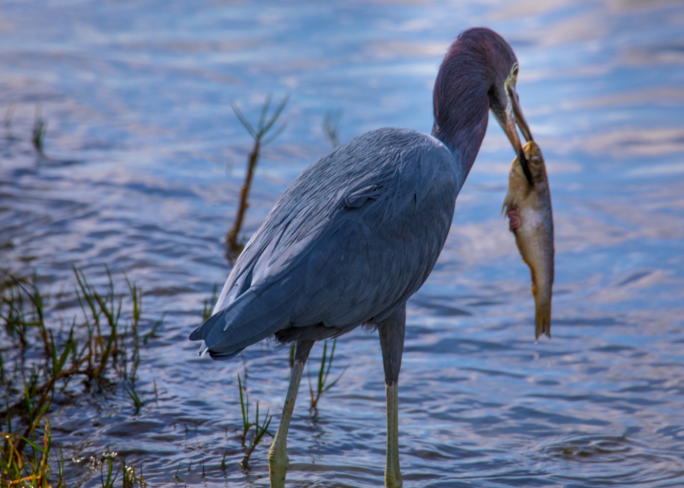
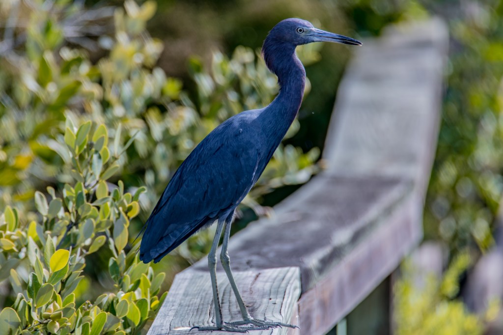
J.N. “Ding” Darling National Wildlife Refuge
The J.N. “Ding” Darling National Wildlife Refuge is located on the subtropical barrier island of Sanibel in the Gulf of Mexico. The refuge is part of the largest undeveloped mangrove ecosystem in the United States. It is world famous for its spectacular migratory bird populations. http://www.fws.gov/refuge/JN_Ding_Darling/