June 1st hiking the Cape Final Trail and touring Cape Royal Road then heading to Page Az for more adventures in Indian Country.
Cape Royal Trail


Cape Final Trail


Vermillion Clifts


June 1st hiking the Cape Final Trail and touring Cape Royal Road then heading to Page Az for more adventures in Indian Country.
Cape Royal Trail
Cape Final Trail
Vermillion Clifts
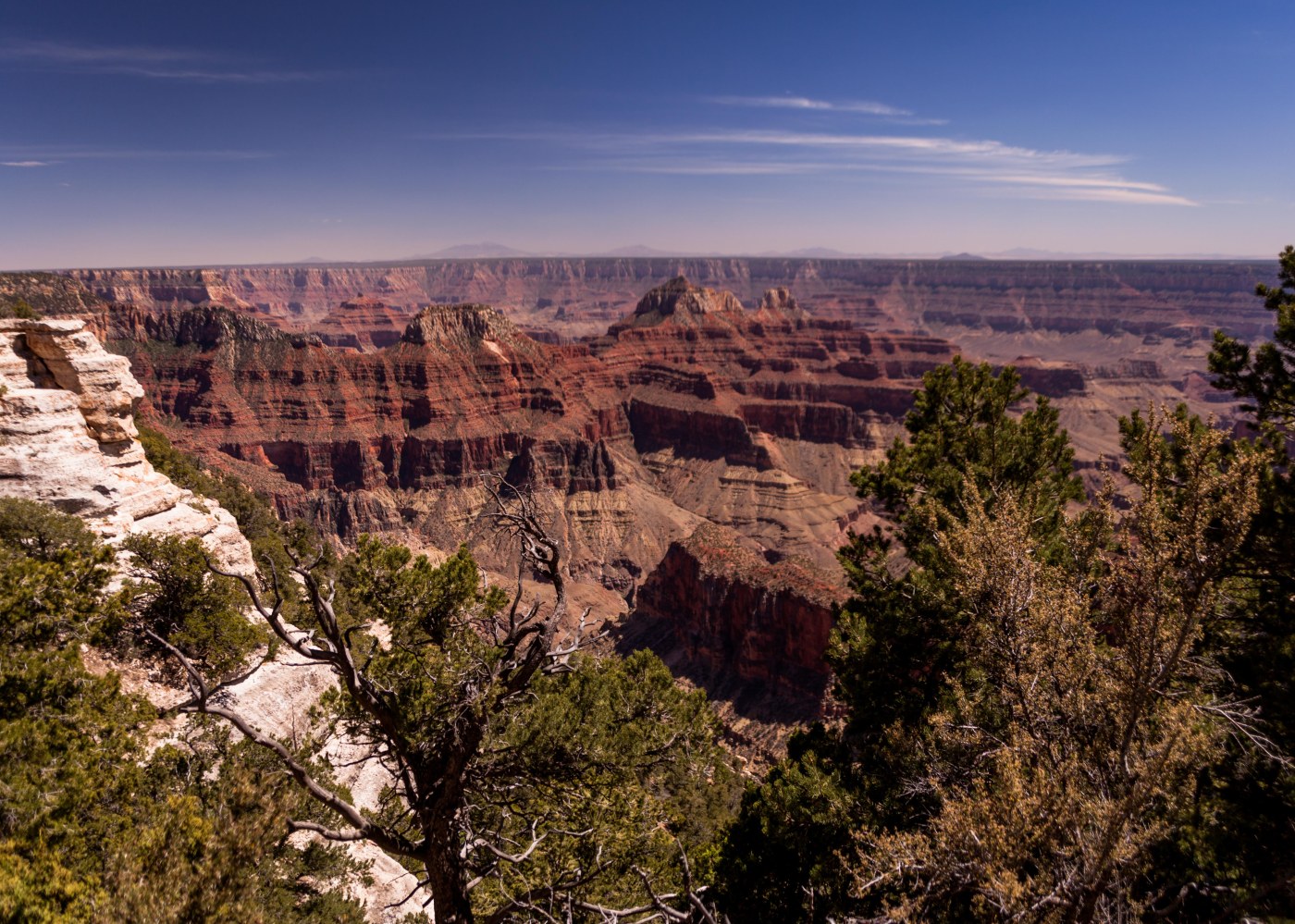
On the 31st we drove through the East Side tunnel to leave Zion (interesting – a little less than a mile long but it has 5 cutouts in the tunnel walls where you can get views of the canyon) and stopped at the Canyon Overlook Trail for a hike over the canyon wall for a view back at Lower Zion Canyon and Pine Creek Canyon. Then off to the north rim stopping along the way at Checkerboard Mess to view the wind and water erosion along a bee hive mountain. Arrived at the north rim at noon and hiked the Bridal Path Trail and the trail to Bright Angel Point. We had dinner plans at the Grand Canyon lodge but we had time to see several viewpoints — Point Imperial, Vista Encantada and Roosevelt Point. Dinner was excellent in a dinning room with great canyon views.
Canyon Overlook / Checkerboard Mesa


Point Imperial, Vista Encantada


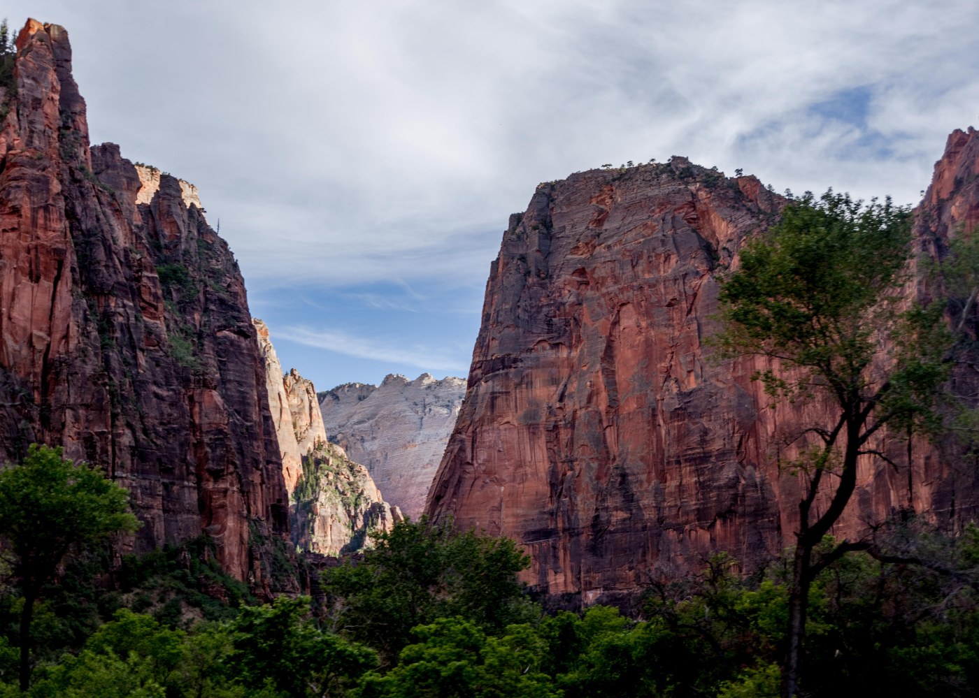
Arrived in Las Vegas after a flight from Raliegh on May 29th – our trip was with our grand-daughter Haley as an 8th grade graduation present – then drove to Zion for a late afternoon shuttle trip for an overview of the park. On the 30th we took several hikes including the Watchman trail, Grotto Trail, Emerald Pools trail, The Narrows, Court of the Patriarchs and on the 31st the Canyon Overlook trial as we moved on to the Grand Canyon.


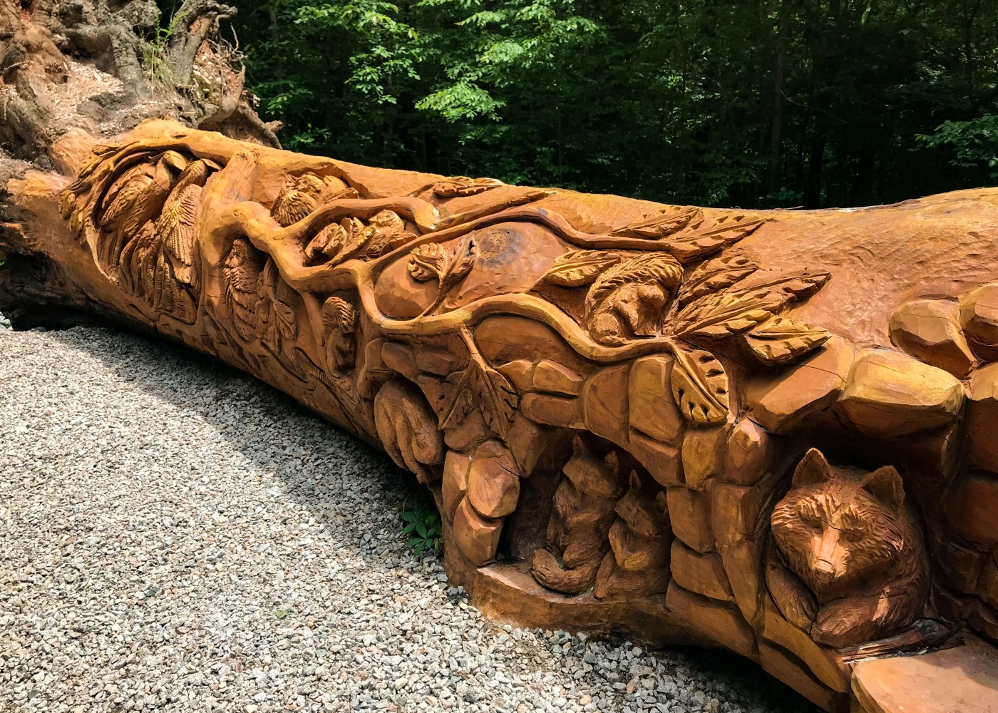
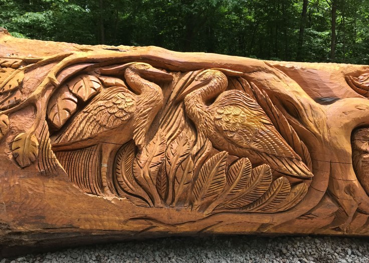
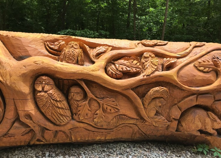
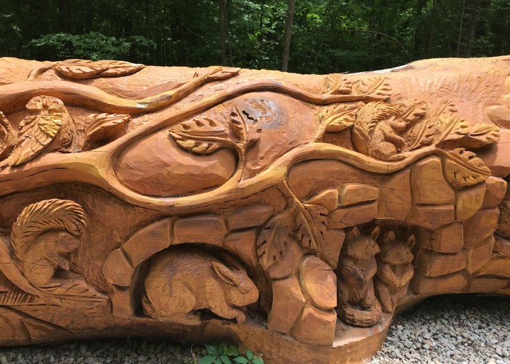
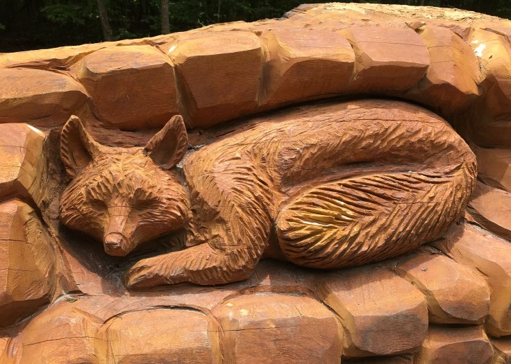
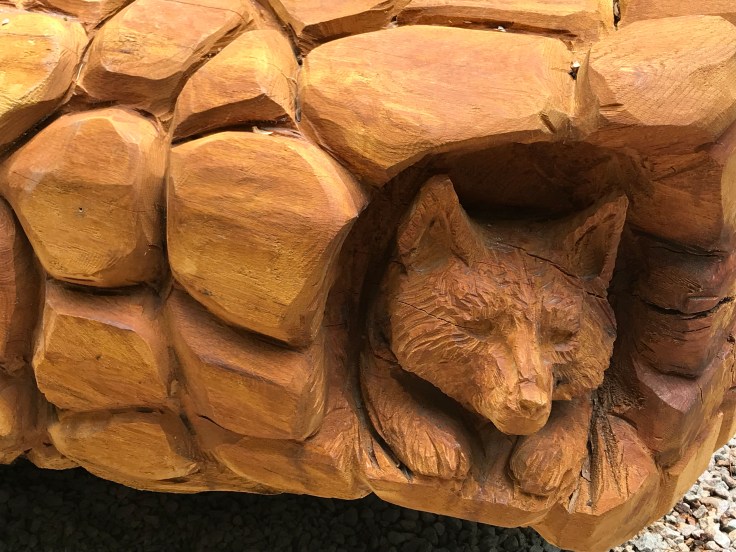
As an tune-up to Haley’s graduation trip to the Big Five we took an easy stroll through William B. Umstead State Park a North Carolina state park in Wake County, North Carolina. It covers 5,599 acres nestled between the expanding cities of Raleigh, Cary, and Durham, North Carolina. The park has 22 miles of well shaded hiking trails along with many miles of mixed use trails. Our goal was to reach a massive downed oak tree that has been chain saw carved by local artists Jerry Redi and Randy Boni. The art work features animals, tree branches and leaves.
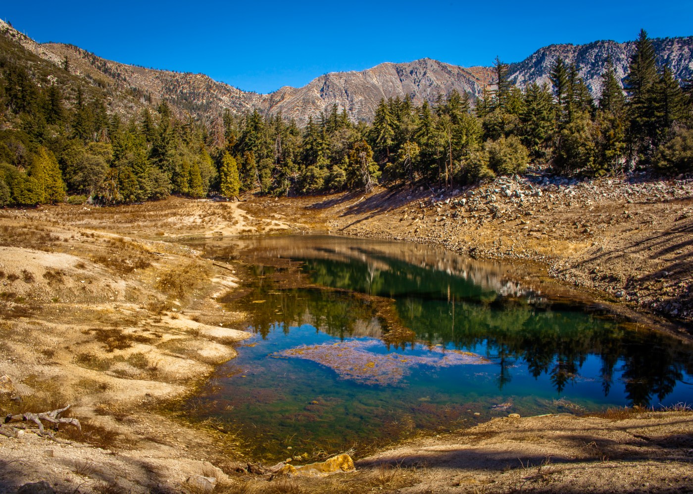
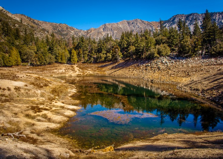
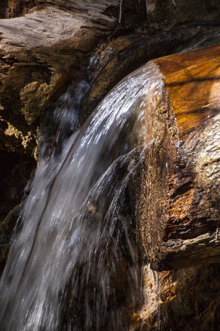
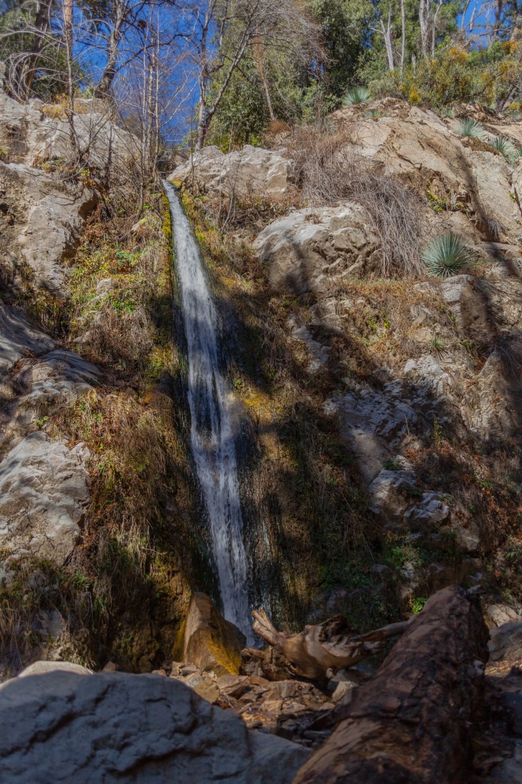
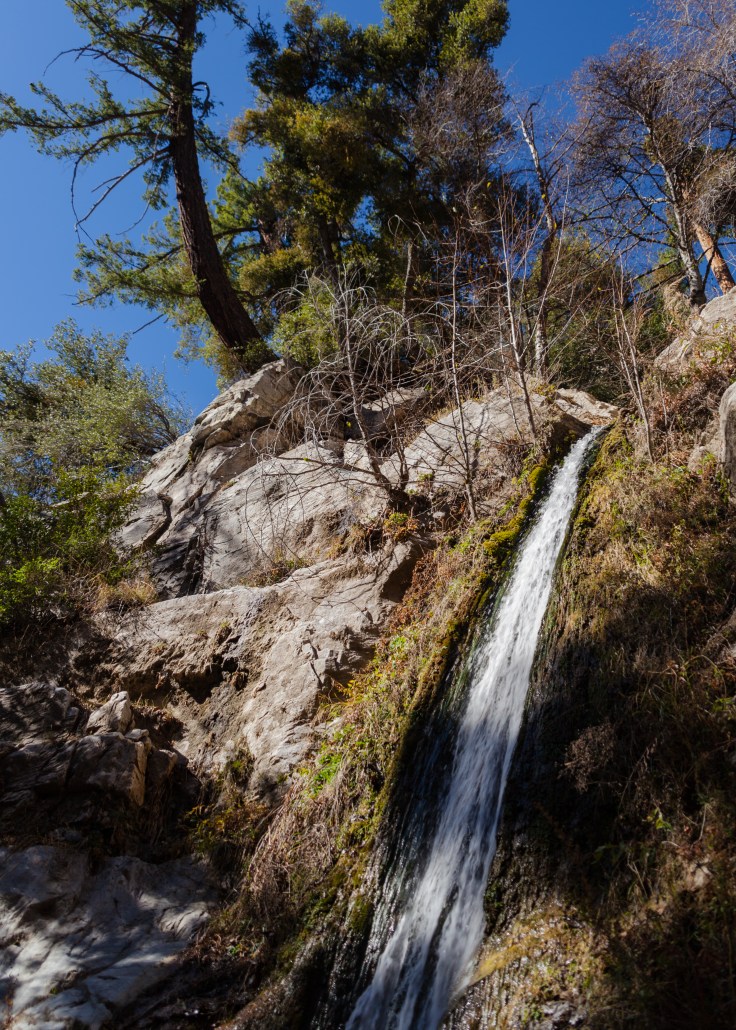
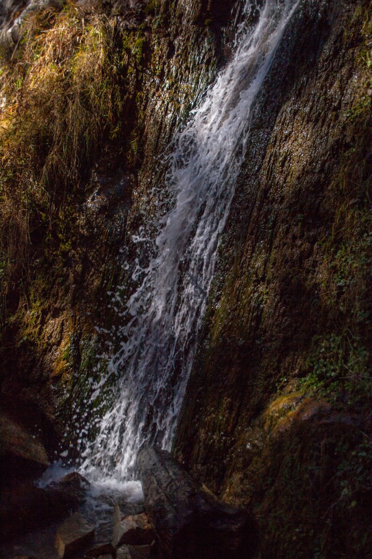
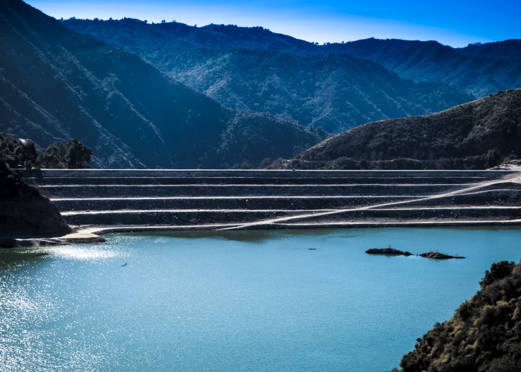
A Friday morning trip high up into the San Gabriel Mountains (5500+) confirmed we are nearing draught conditions again. Crystal Lake was almost non-existent and the surrounding mountains were snow-less. There is an effortless 1.33 mile trail to and around the lake which provides excellent views of the surrounding mountains and forest which has bounced back after the 2002 Curve Fire. The trailhead is 24 miles of winding road from Azusa along rt. 39. Leaving the lake I headed to the Lewis Falls trailhead about five miles back down the mountain about 2 miles before the Rincon ranger station. The trailhead is unmarked but its on a bend with a wide shoulder and one car parking areas just before and after.
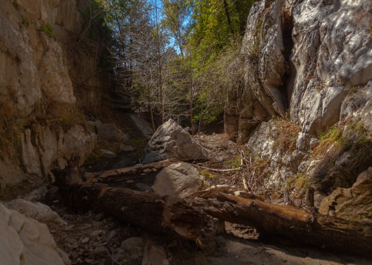
The trail to Lewis Falls along Soldier Creek is a very short trail – one mile round trip – but this is no stroll through the woods. The last tenth of a mile is a completely unmaintained scramble and boulder-hop along the creek bed, and takes about as much time to traverse as the first 0.4 miles.



The Devil’s Punchbowl is a unique 1,310 acre geological wonder where you hike a 1 mile loop trail through a deep canyon formed by the runoff of water from the higher San Gabriel Mountains. The trail takes you to the bottom of the bowl and through the up tilted rock formations created by layers of sedimentary rocks forced up by the local earthquake faults. After completing the loop hike I headed to the South Fork campground to hike the 6 mile out and back trail to the backside of the punchbowl and to the Devil’s Chair a huge white rock mass at the turnaround point. While hiking the trail I had many views of the snow-covered San Gabriel’s and decided to get a upclose look by driving to Inspiration Point along the Highway 2 where it crosses the Pacific Coast Trail.


23 million years ago multiple volcanoes erupted, flowed, and slid to form what would become Pinnacles National Park. What remains is a landscape unlike any other. Travelers journey through grasslands, chaparral, oak woodlands, and canyon bottoms. Hikers enter rare talus caves and emerge to towering rock spires teeming with life: Prairie and Peregrine falcons, Golden eagles, and the inspiring California condor.[see more about this park – www.nps.gov/pinn/learn/nature/naturalfeaturesandecosystems.htm] Continue reading “Pinnacles – our newest National Park”

A lot of work opening the shore house – cleaning, painting, constructing an outdoor railing (need to get it up to current code), cleaning deck furniture and decorating with flowers. So a break was need before moving on to tiling, finishing the bathroom vanity and everything else what ever they maybe. Continue reading “A Little Recreation during Chores”

June 3rd and 4th were dedicated to putting on some significant eastward miles but we also needed some breaks in driving. We avoided Interstates and drove along US 412 which gave us the flavor of rural america. Continue reading “Flying Now – New Mexico, Oklahoma, Arkansas”

