Search

Travelling Photographer

Photos and commentary from my travels around the globe

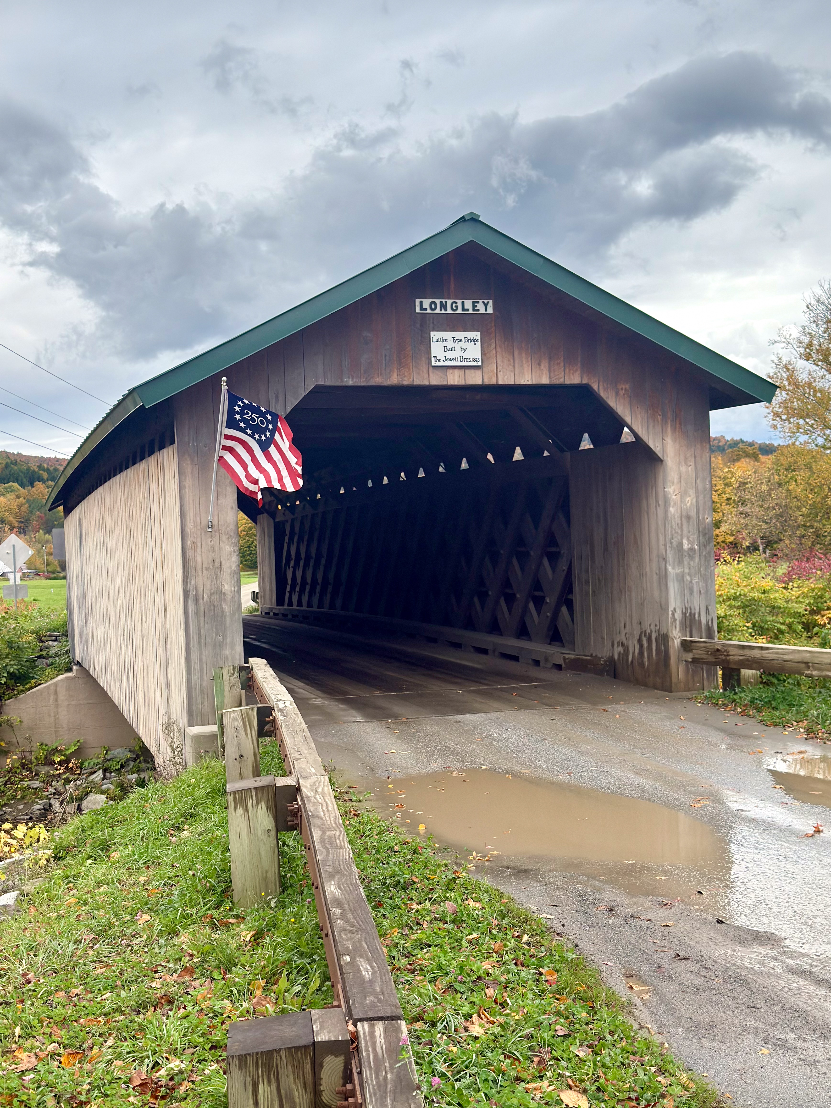
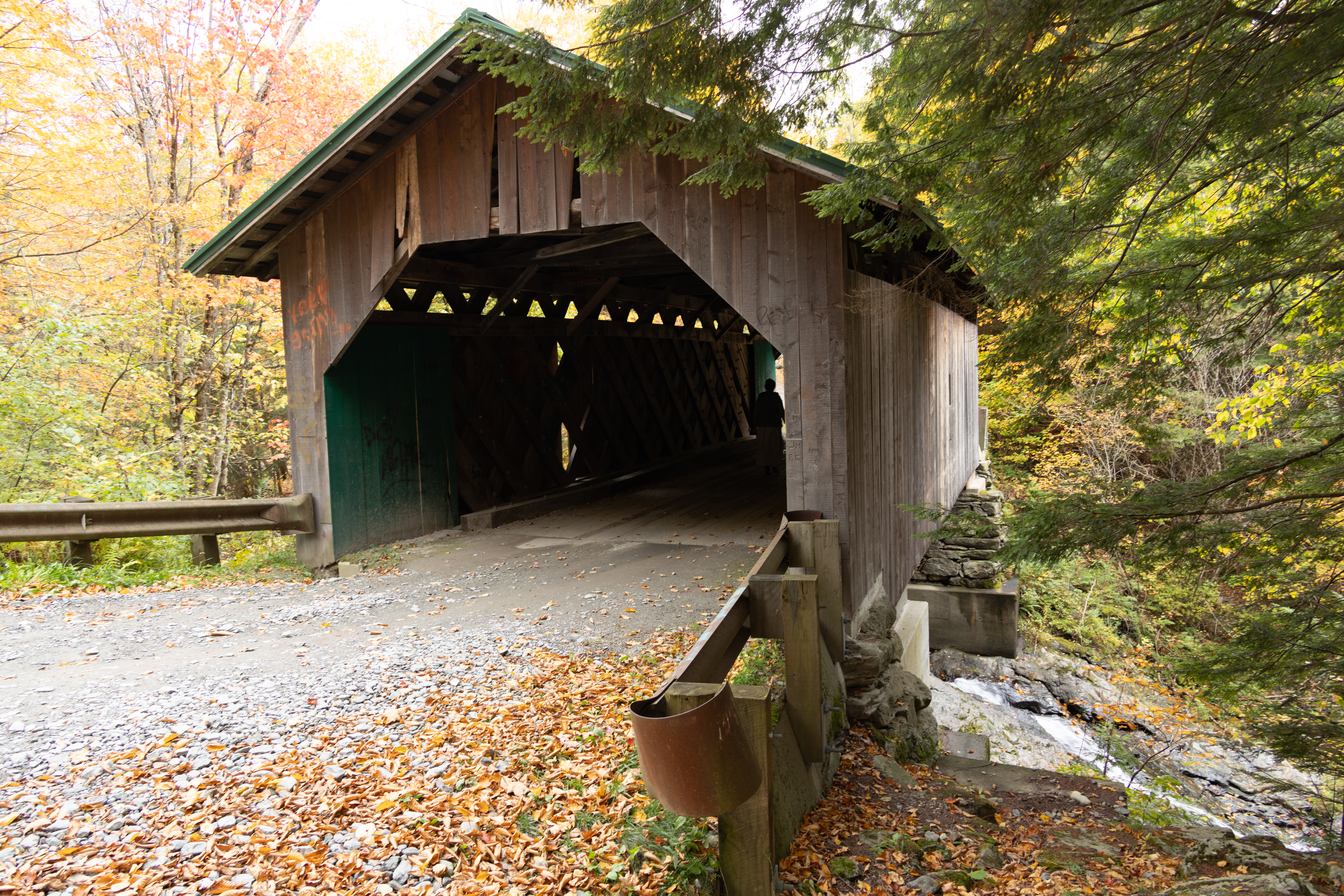
2026 Fall New England Trip #4 – Tracking Covered Bridges and Waterfalls – Continued

Bartlett Covered Bridge

The historic Bartlett Covered Bridge, which spans the Saco River. Built in 1850, the bridge is 183 feet long with single-span, paddleford-type construction. The span was strengthened for vehicular traffic by the addition of a pair of laminated wooden arches in the 1920’s. This bridge carried traffic travelling on Route 302 over the Saco River for more than 80 years until it was replaced by the steel bridge in 1939.

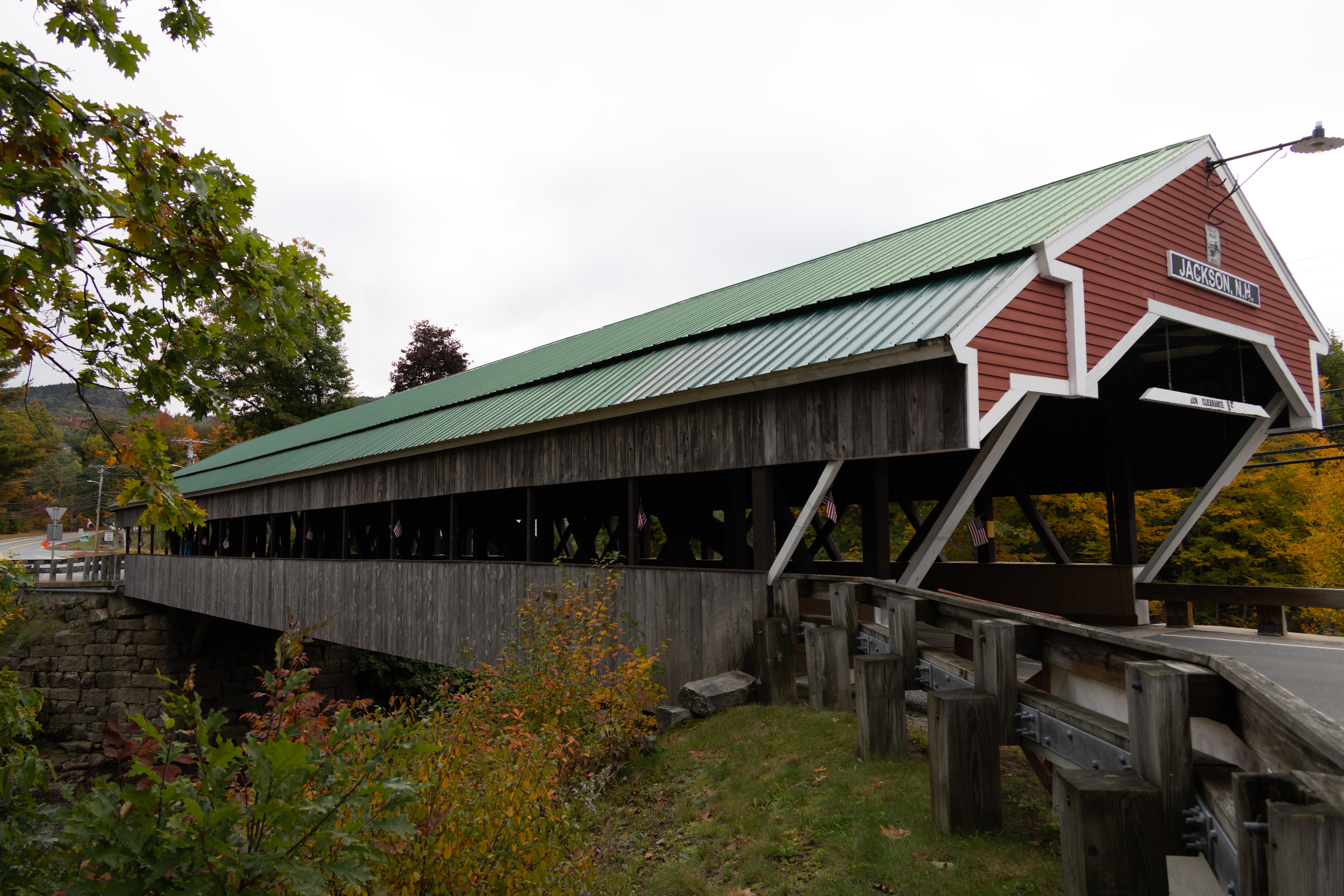
Jackson Bridge (Honeymoon Bridge)

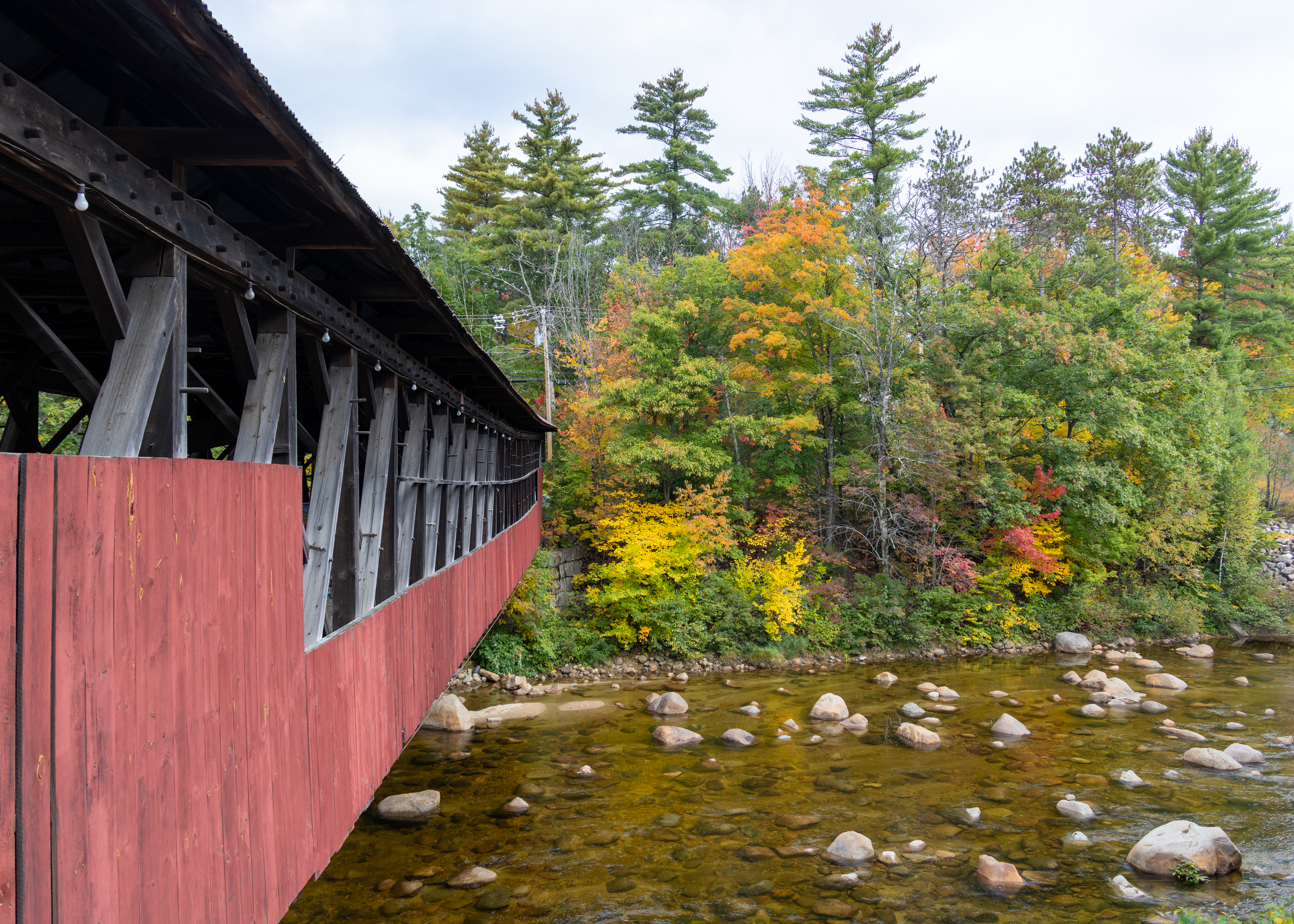
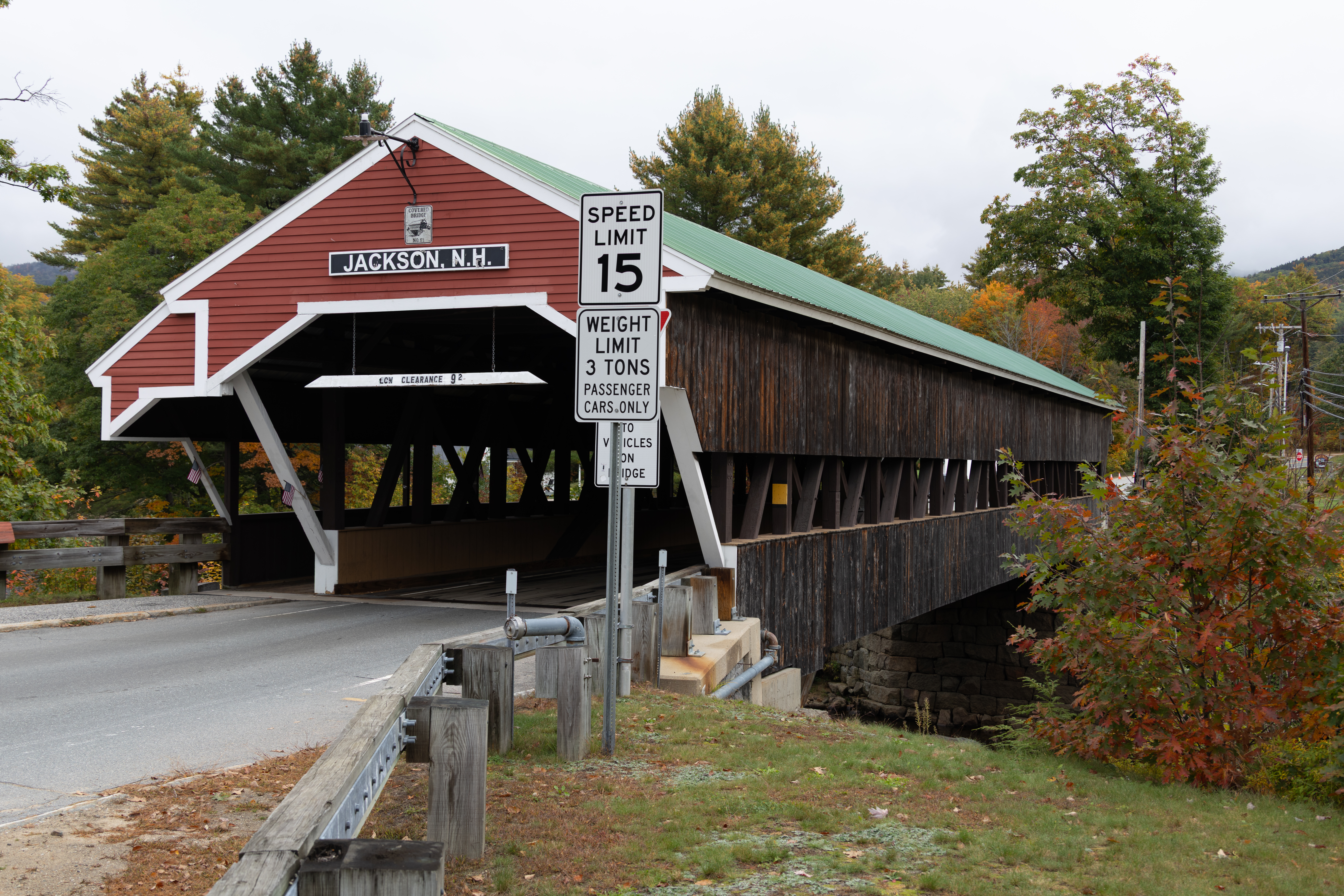
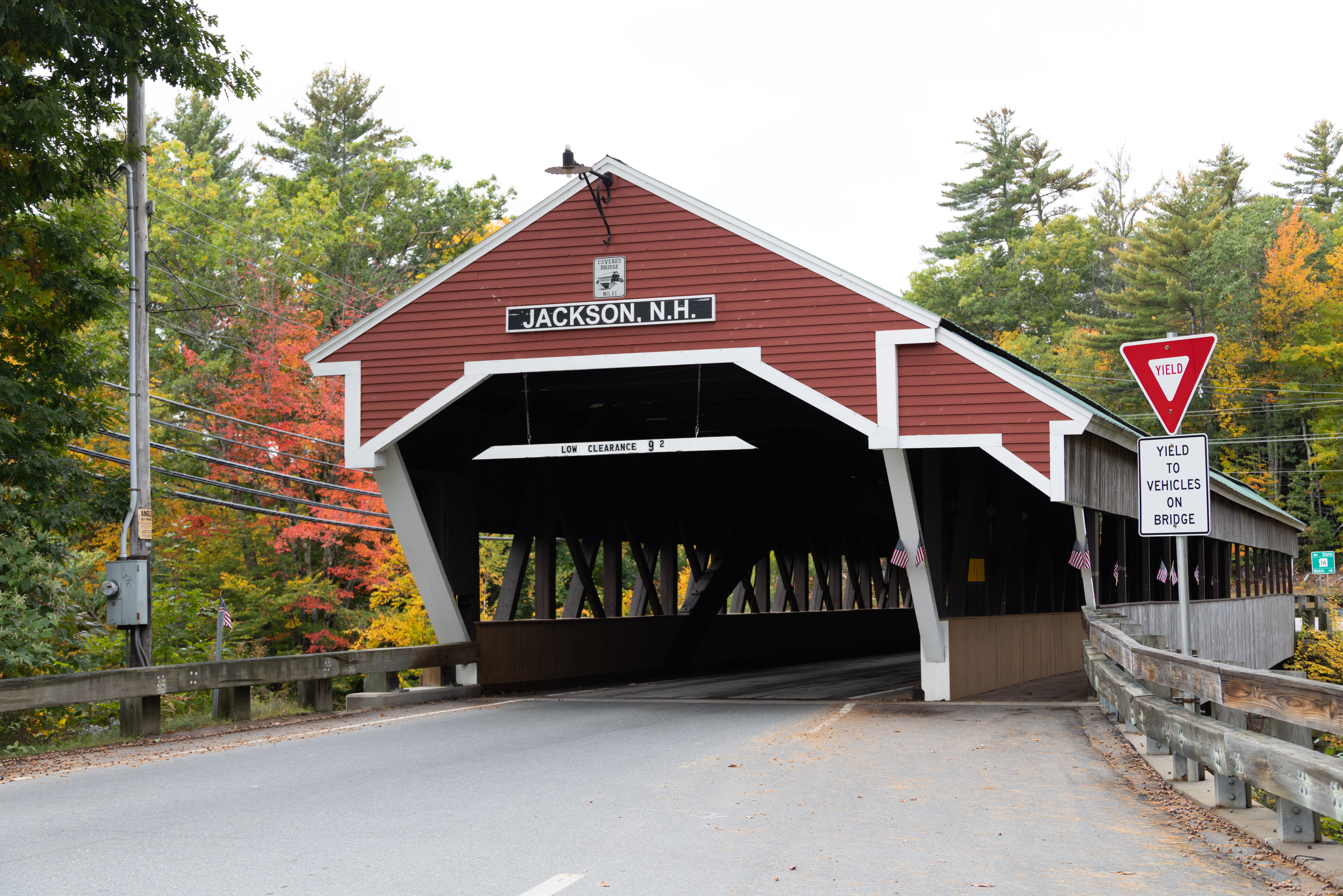
Honeymoon Bridge is a wooden covered bridge in Jackson, New Hampshire, spanning the Ellis River in Jackson Village. Built in 1876 by Charles Austin Broughton and his son Frank, the 121-foot Paddleford truss structure is designated Covered Bridge No. 51 and earned its “Honeymoon” name from a local tradition of couples kissing beneath it.

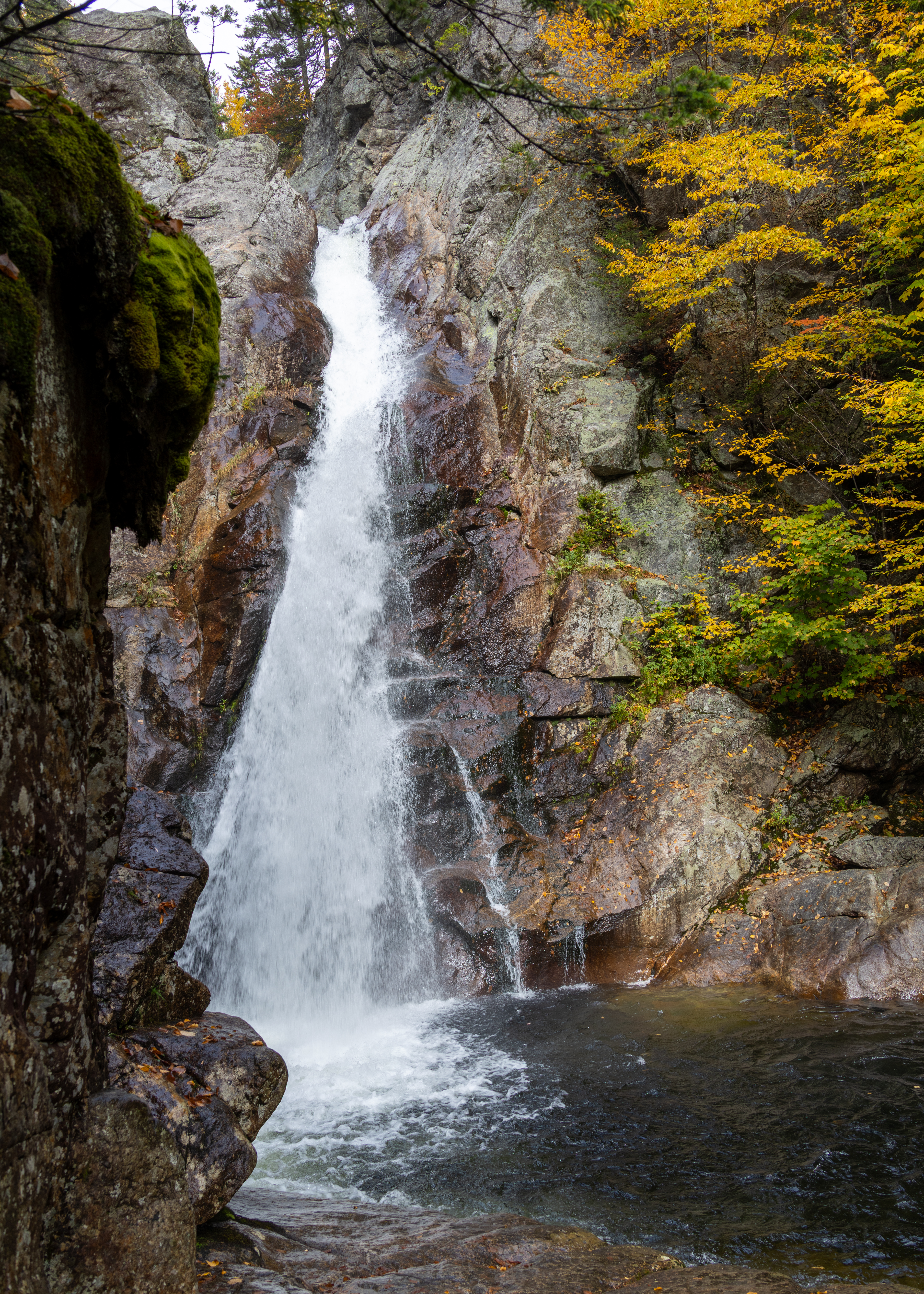
Glen Ellis Falls

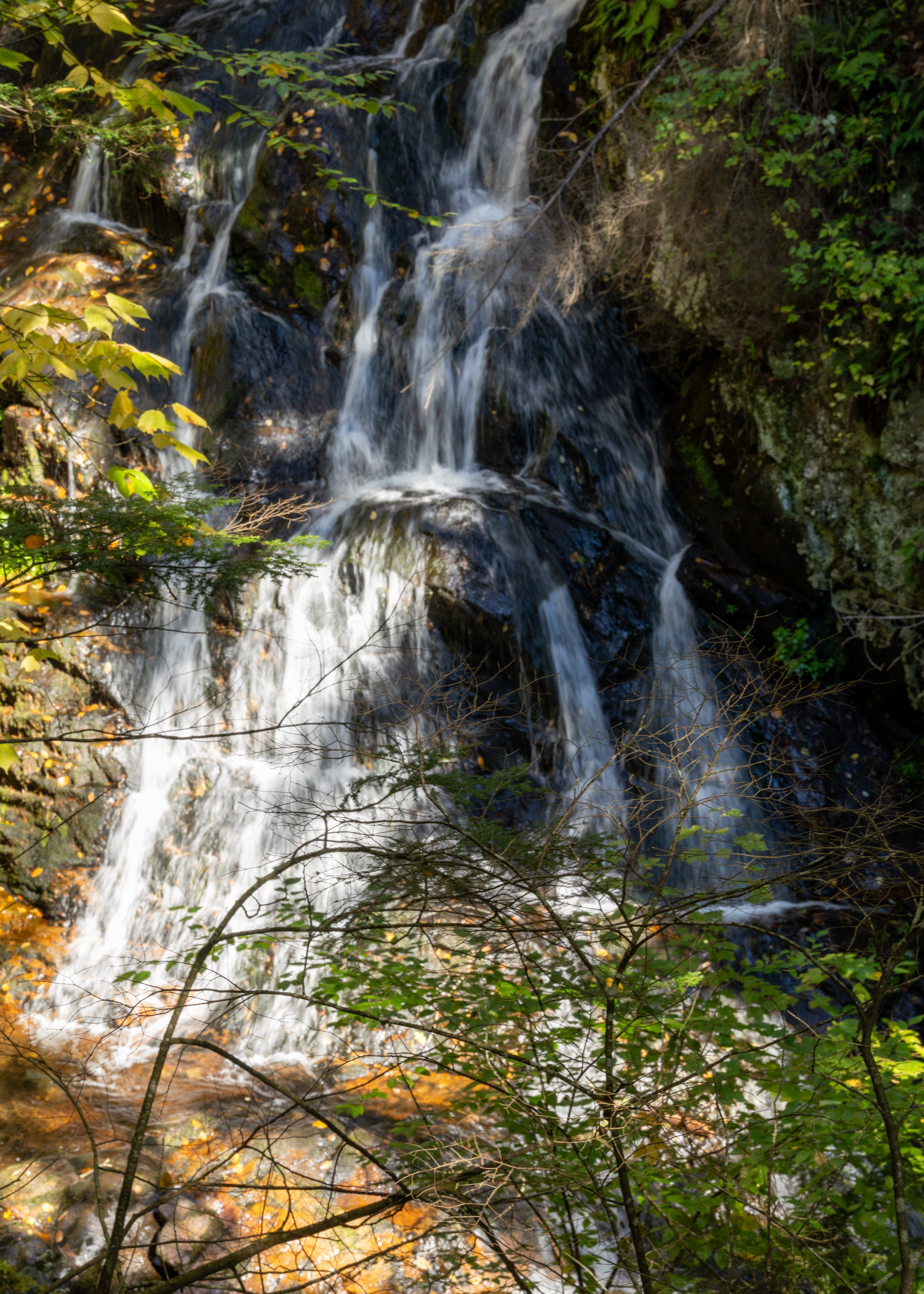
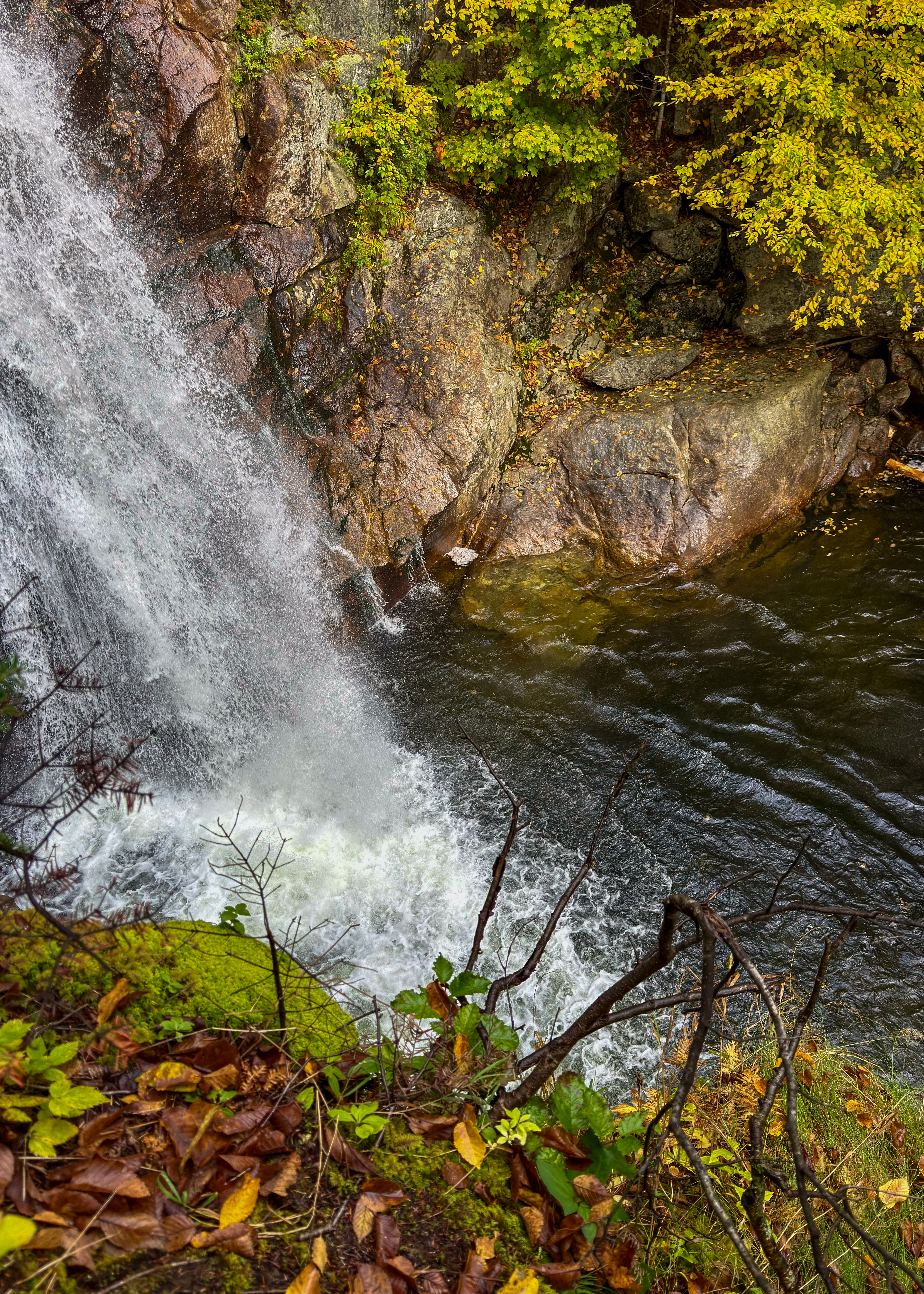
This stunning, 64′ waterfall is one not to miss. Located along the Ellis River in the White Mountain National Forest, this waterfall is only a hop, skip, and a jump from the parking lot on Route 16. The walk in is 0.4 miles along the wooded trail, with a few steps to navigate once you are at the falls.
Jackson Falls

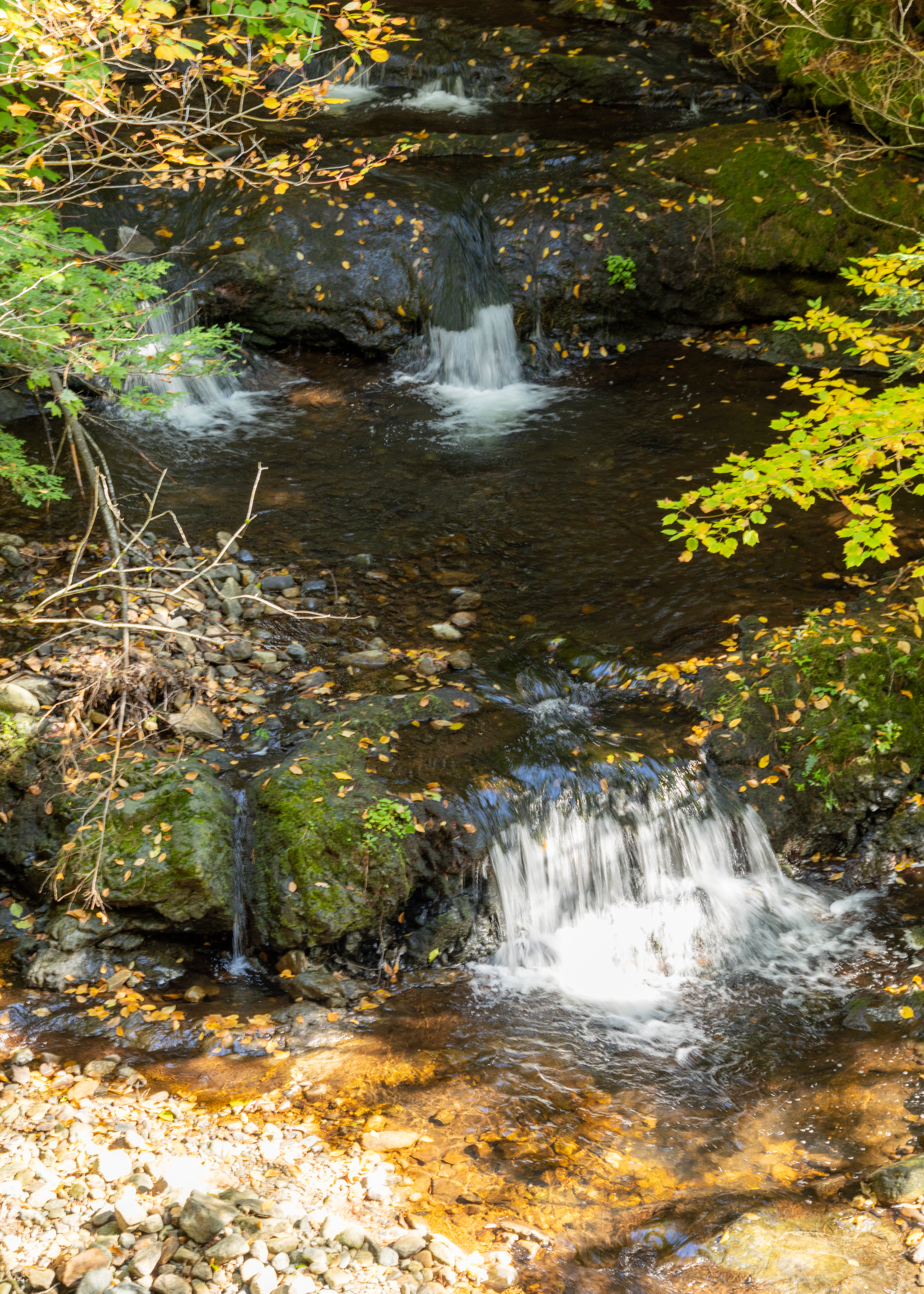
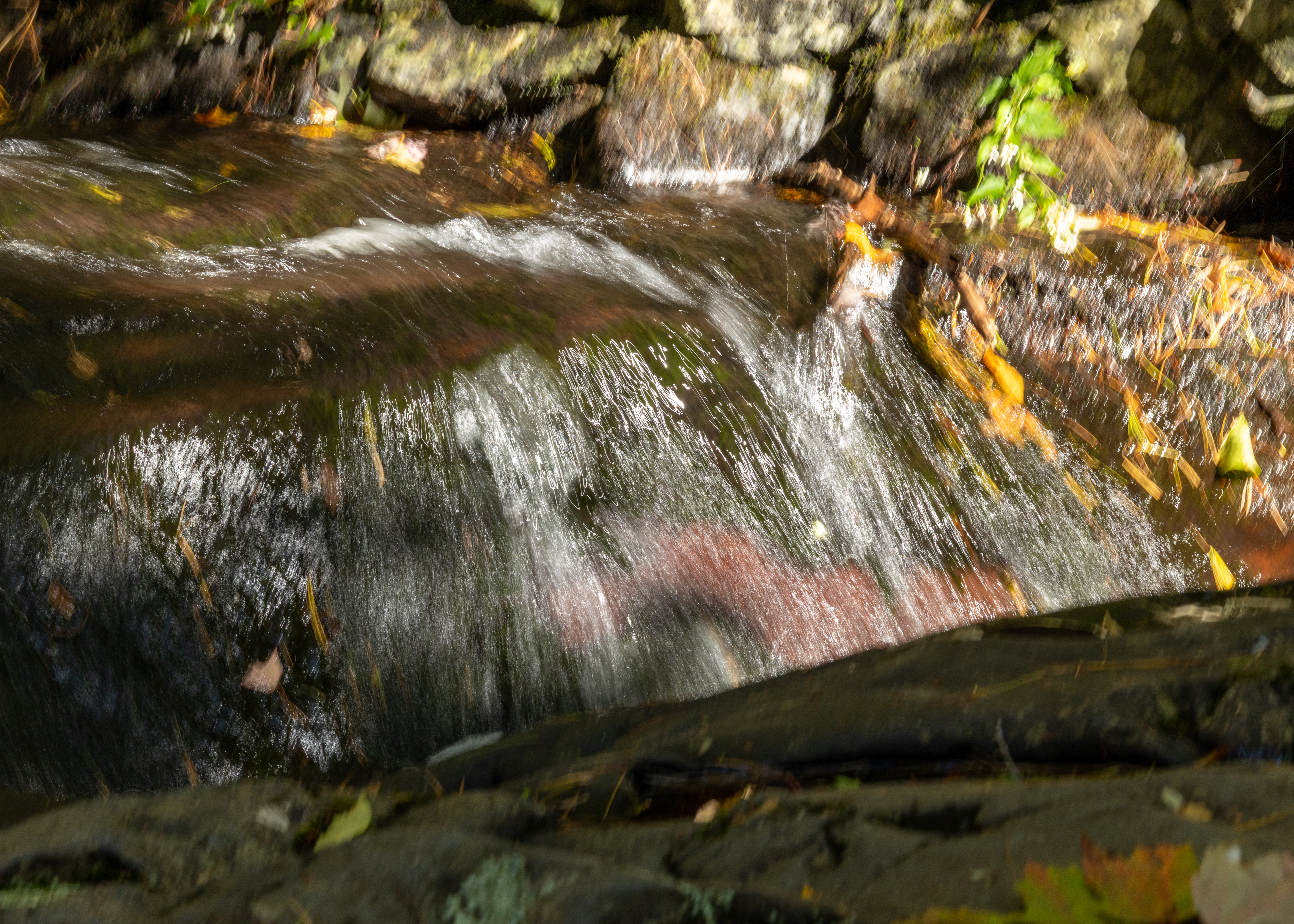
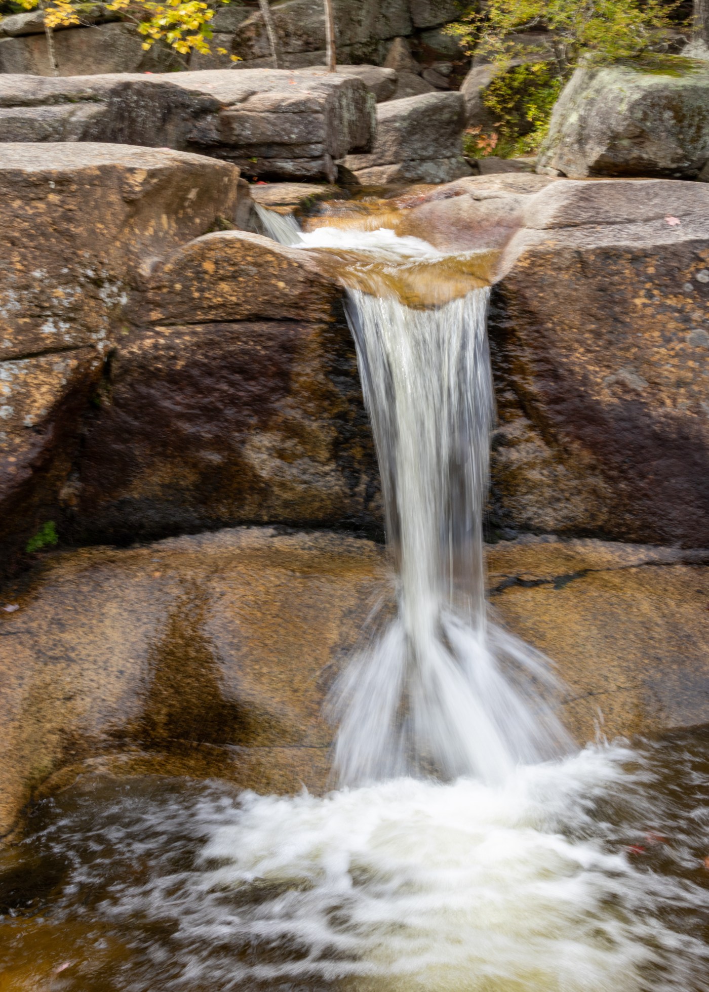
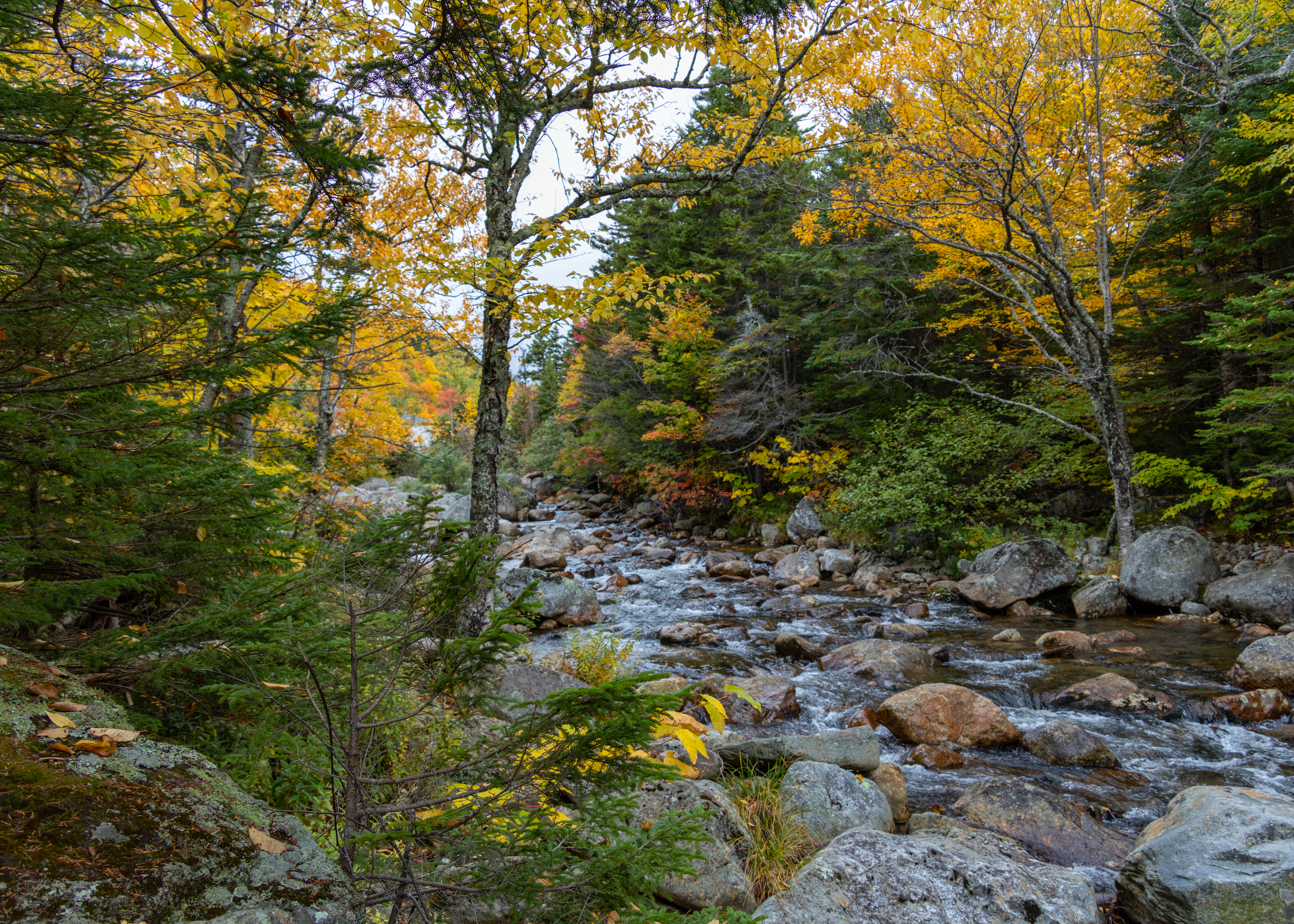
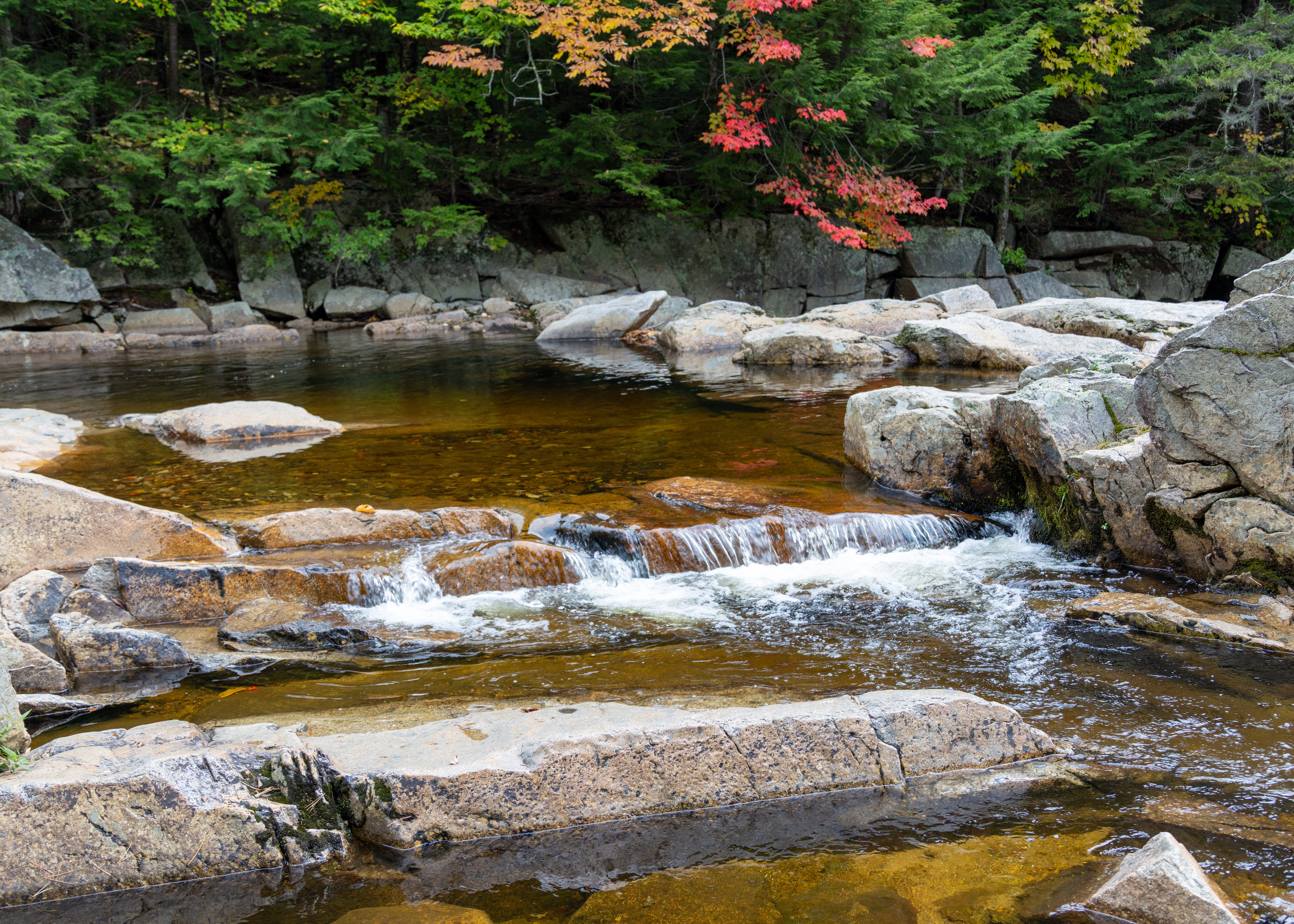
Jackson Falls is an iconic series of broad Wildcat Brook ledges and small pools that cascade right through Jackson village on NH 16B. The main stop is at the roadside pull-offs along NH 16B just above Jackson Square.

Diana’s Baths

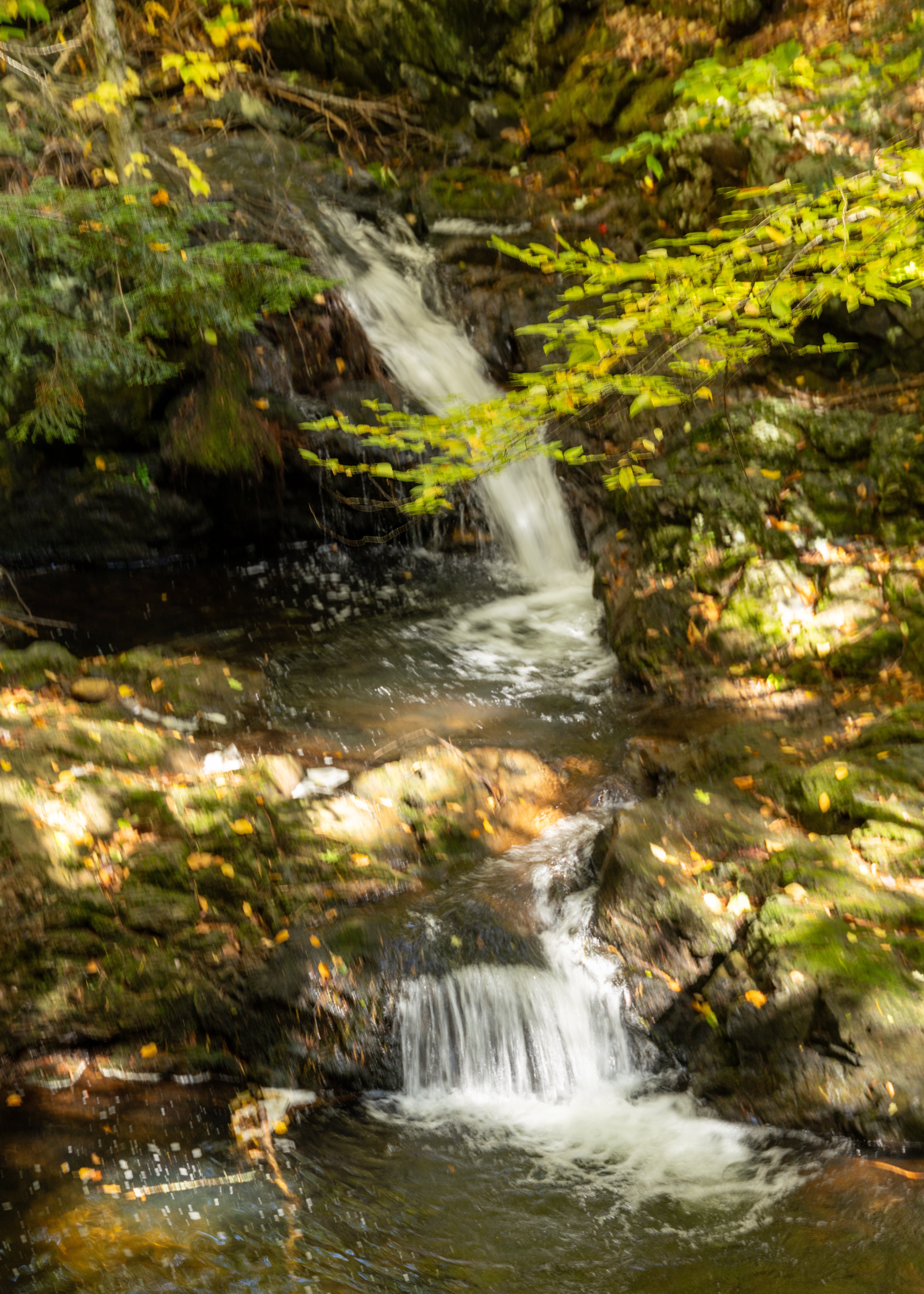
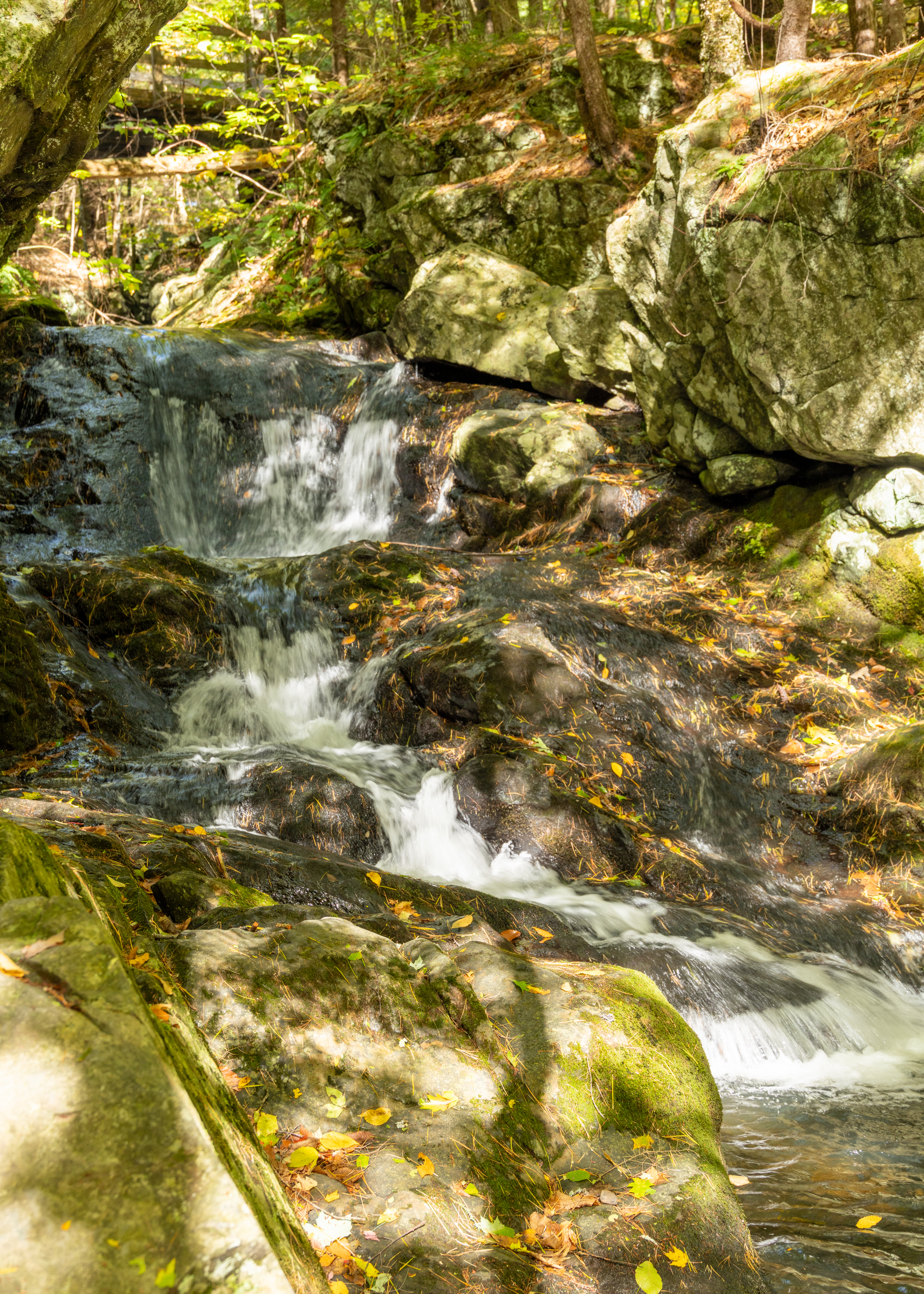
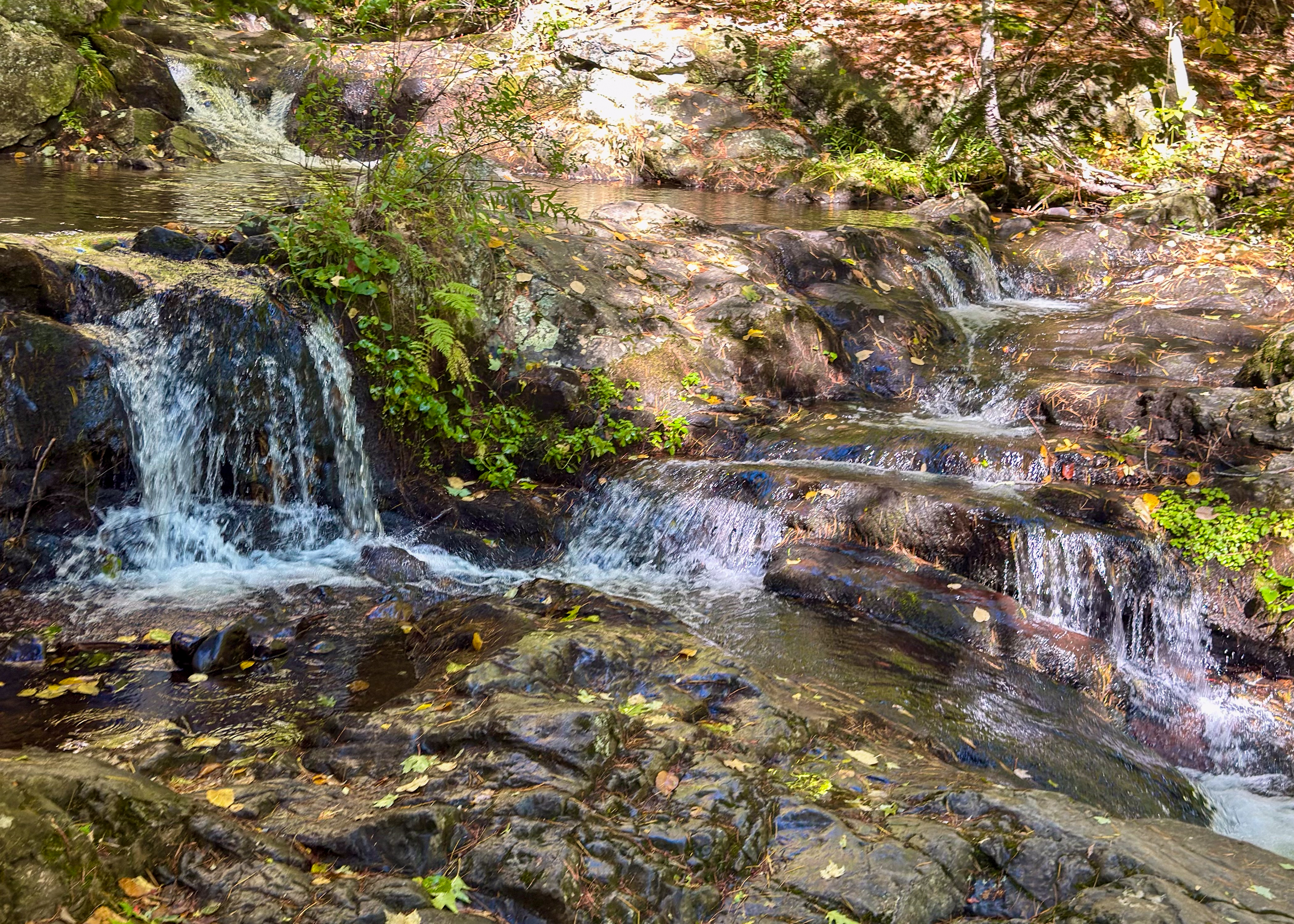
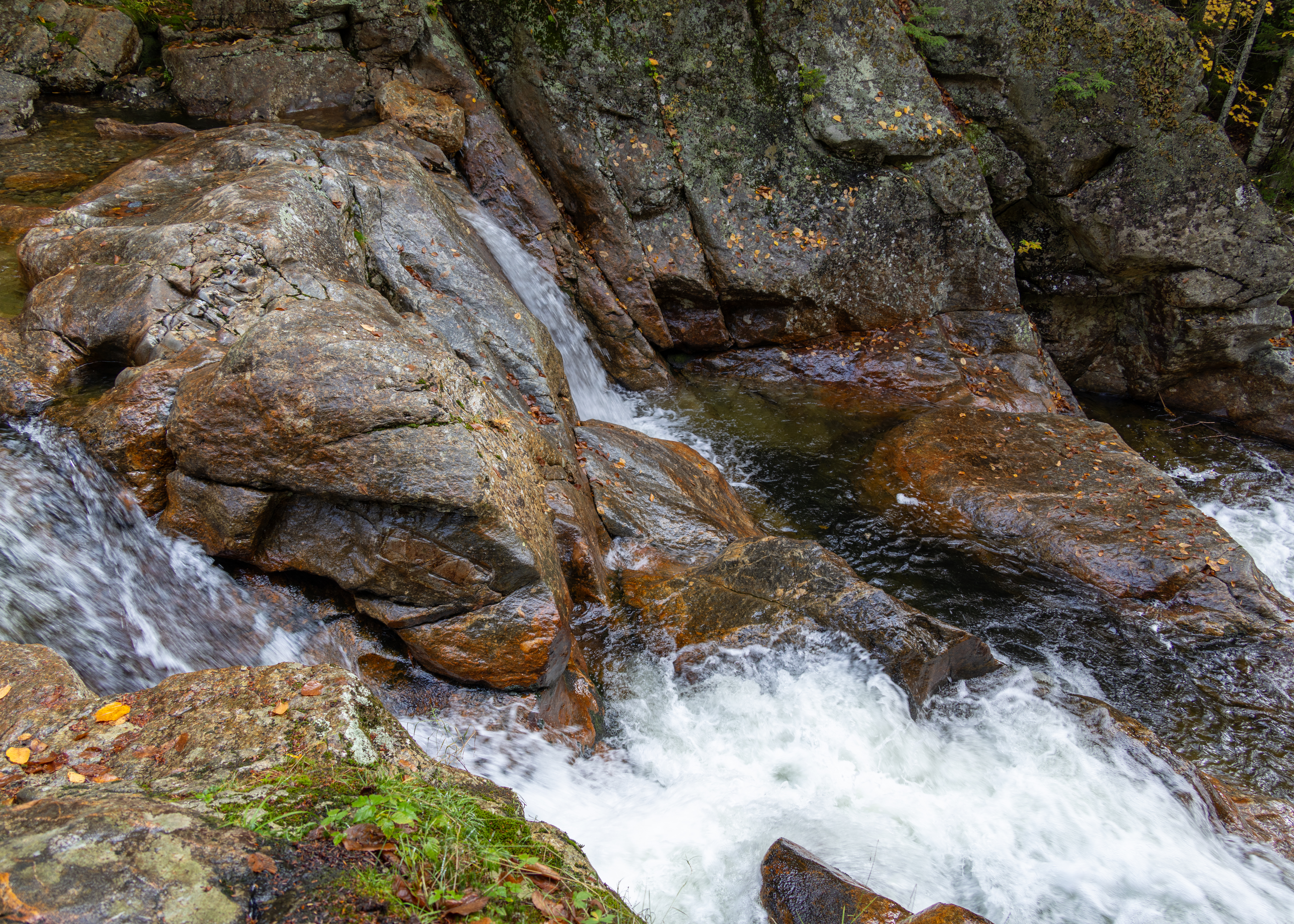
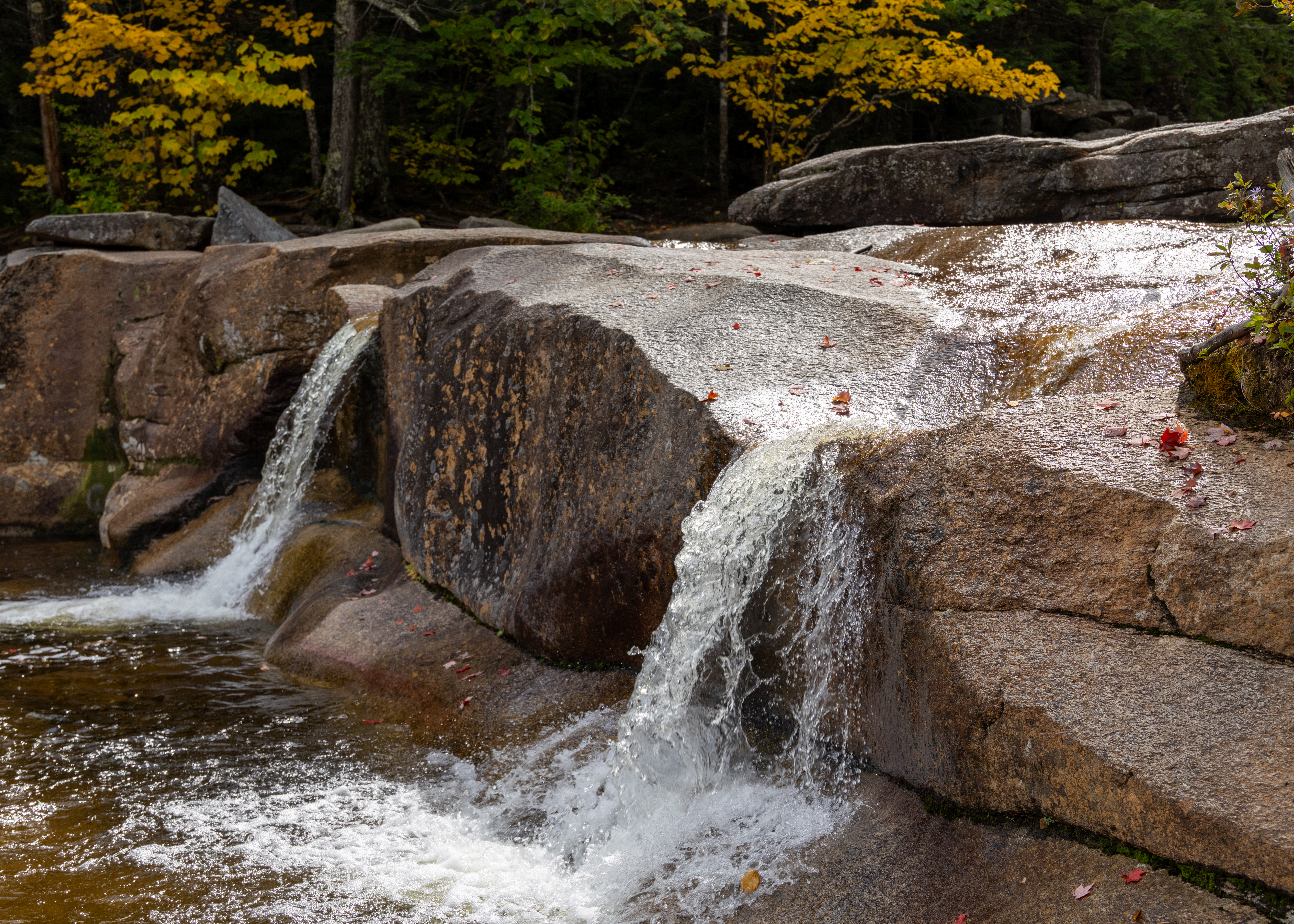
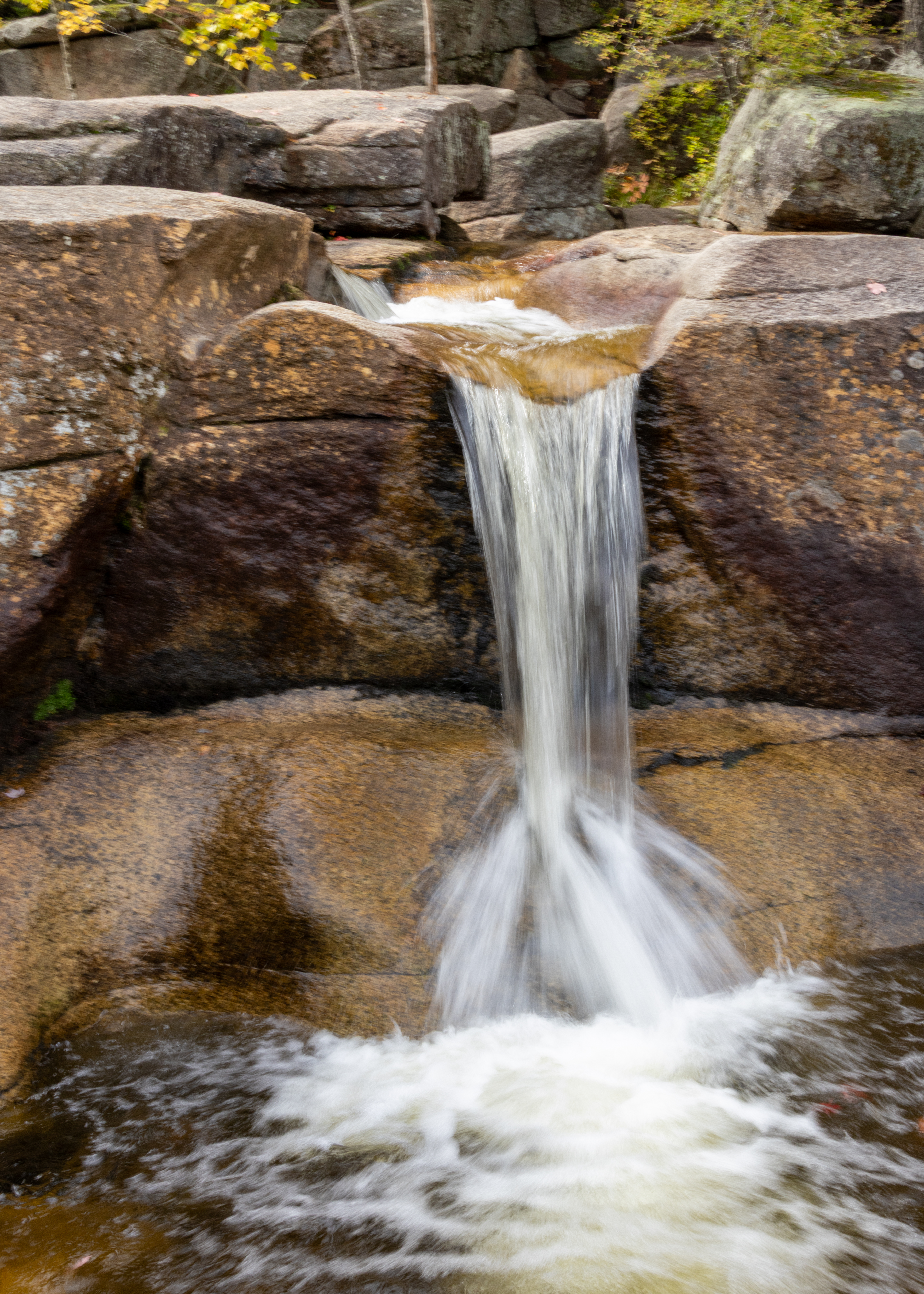
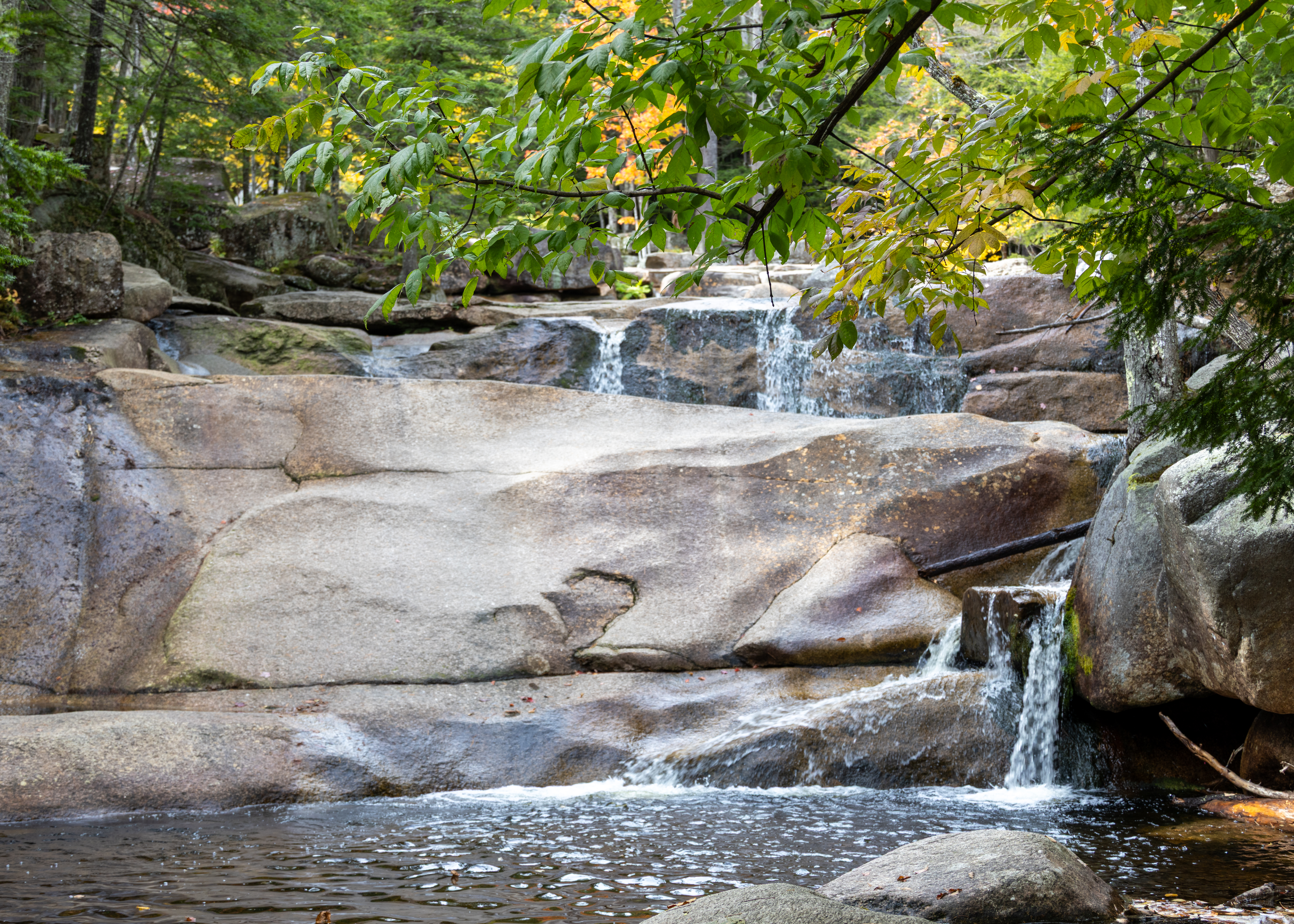
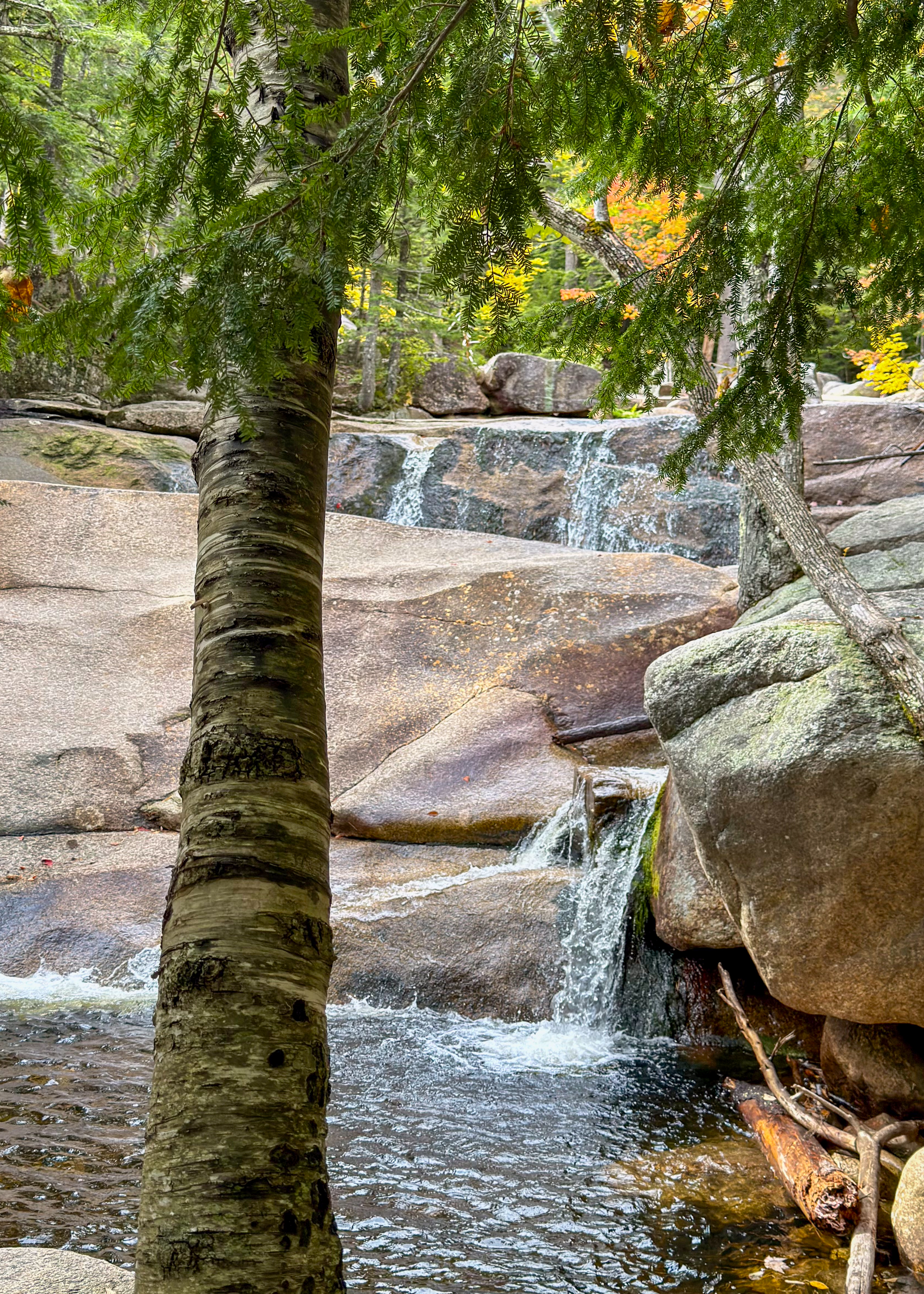
Diana’s Baths is a series of small waterfalls and pools located in the White Mountain National Forest off West Side Road in North Conway.  Multiple spots let you wade on hot days and take inspiring photos. The falls’ appeal is even greater because they’re so accessible. One only has to hike a ½ mile on an ADA-approved gravel surface to see them. This is an iconic Mt. Washington Valley cascade.
Swift River Covered Bridge

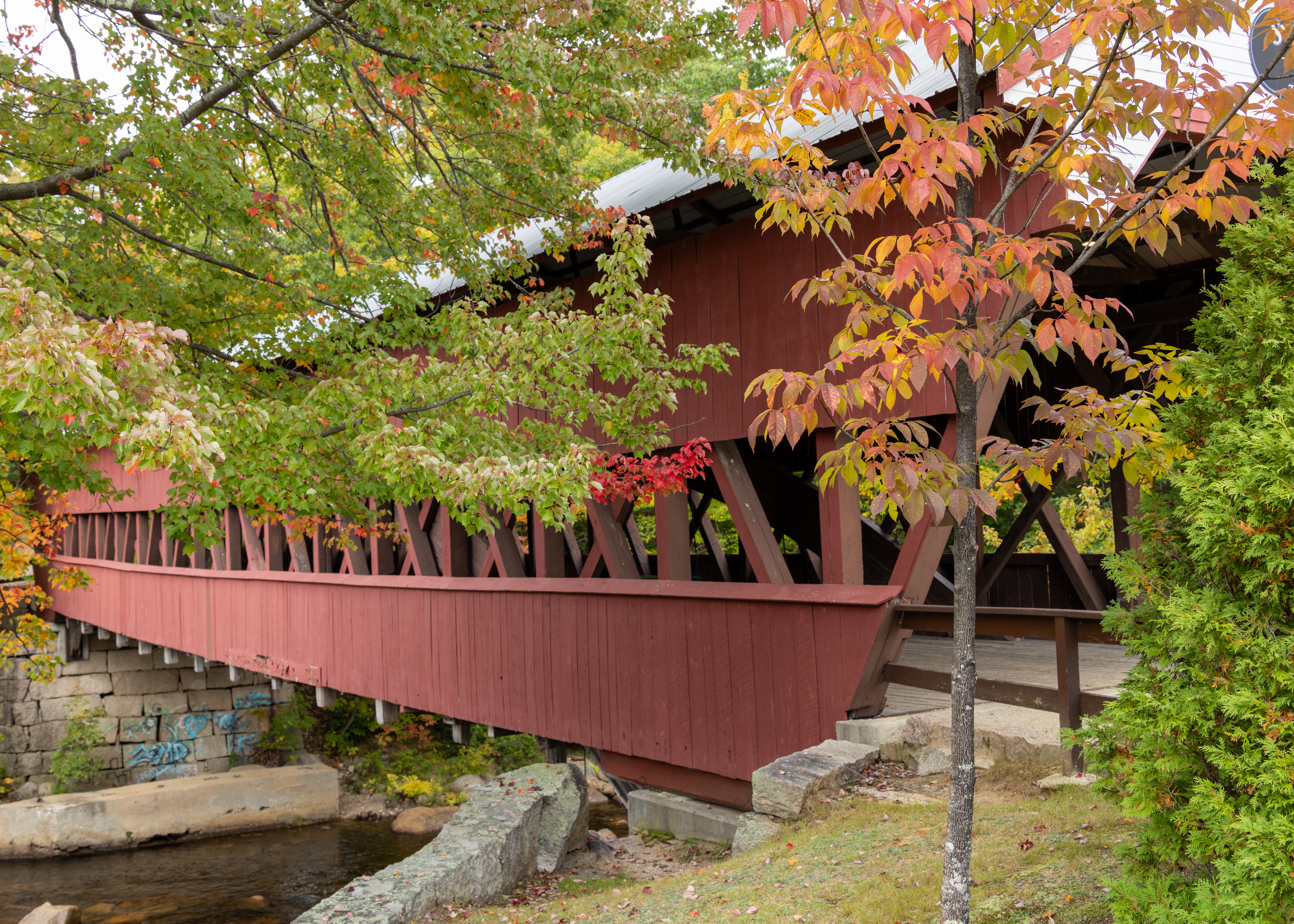
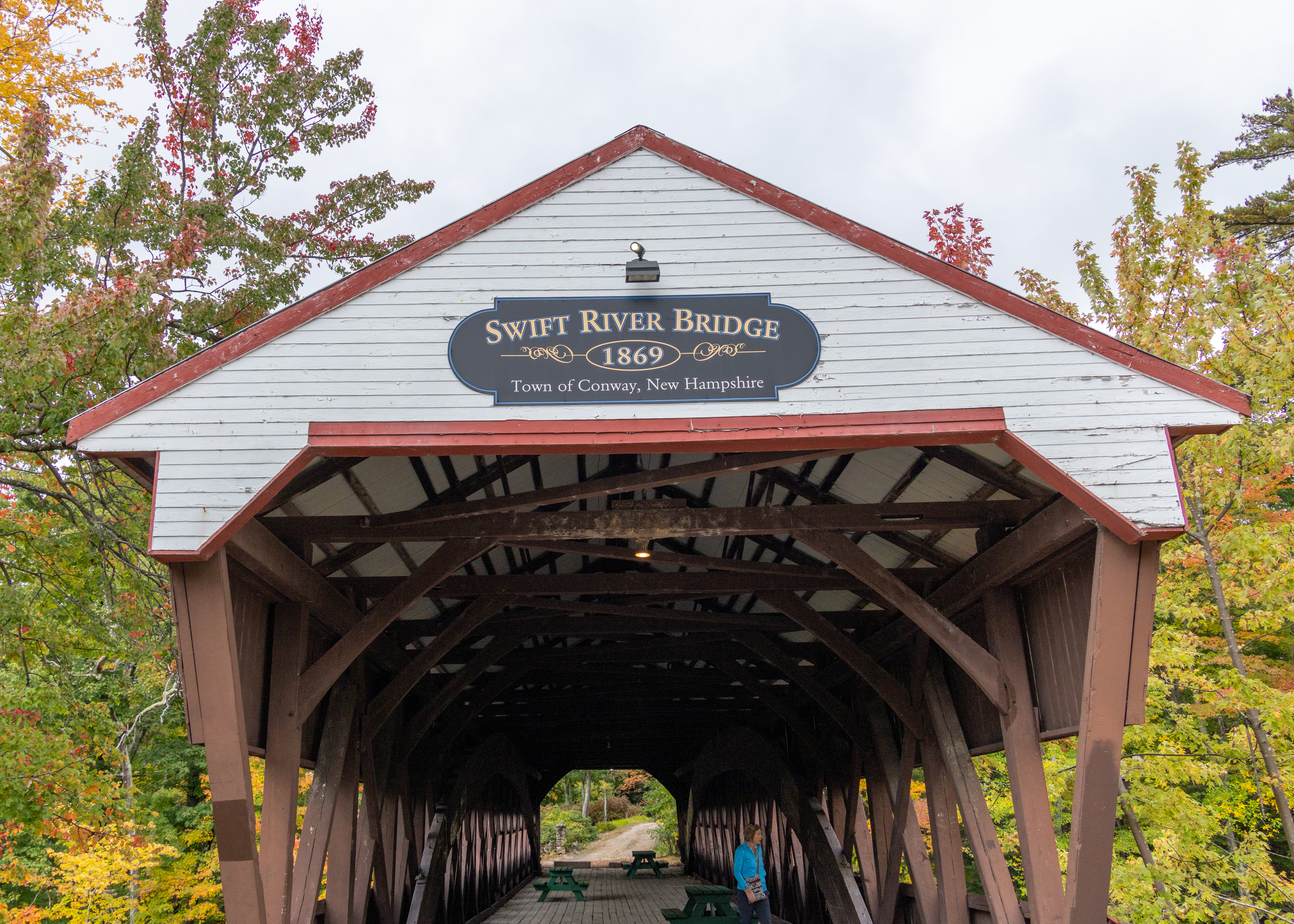
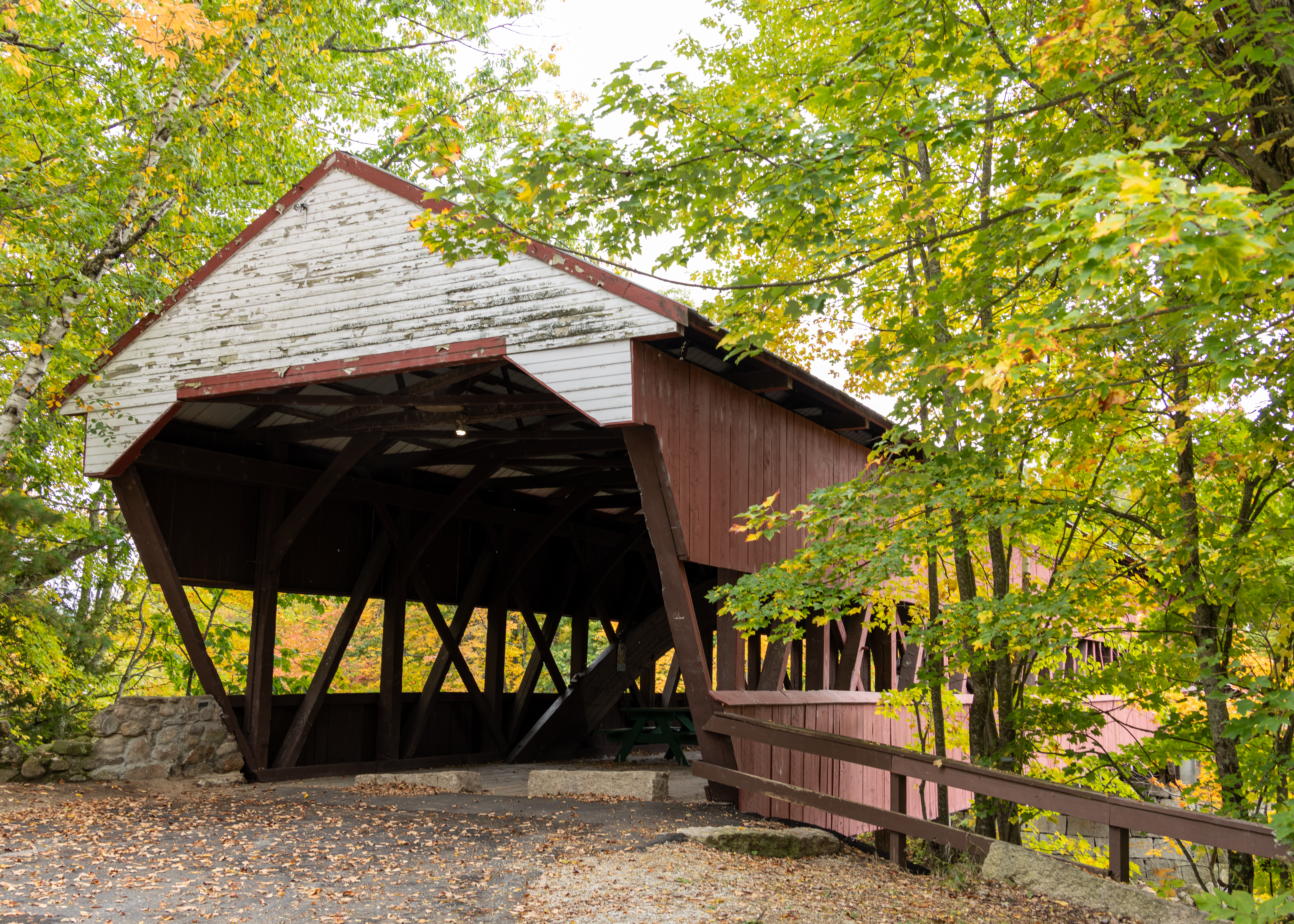
Swift River Bridge is a 19th-century covered bridge in Conway, New Hampshire, spanning the Swift River on a bypassed section of West Side Road near Conway Village. Built in 1870 by Jacob E. Berry and his son Jacob H. Berry, the single-span structure uses a Paddleford truss with a supplemental arch and measures about 129 feet in length.

Saco River Covered Bridge

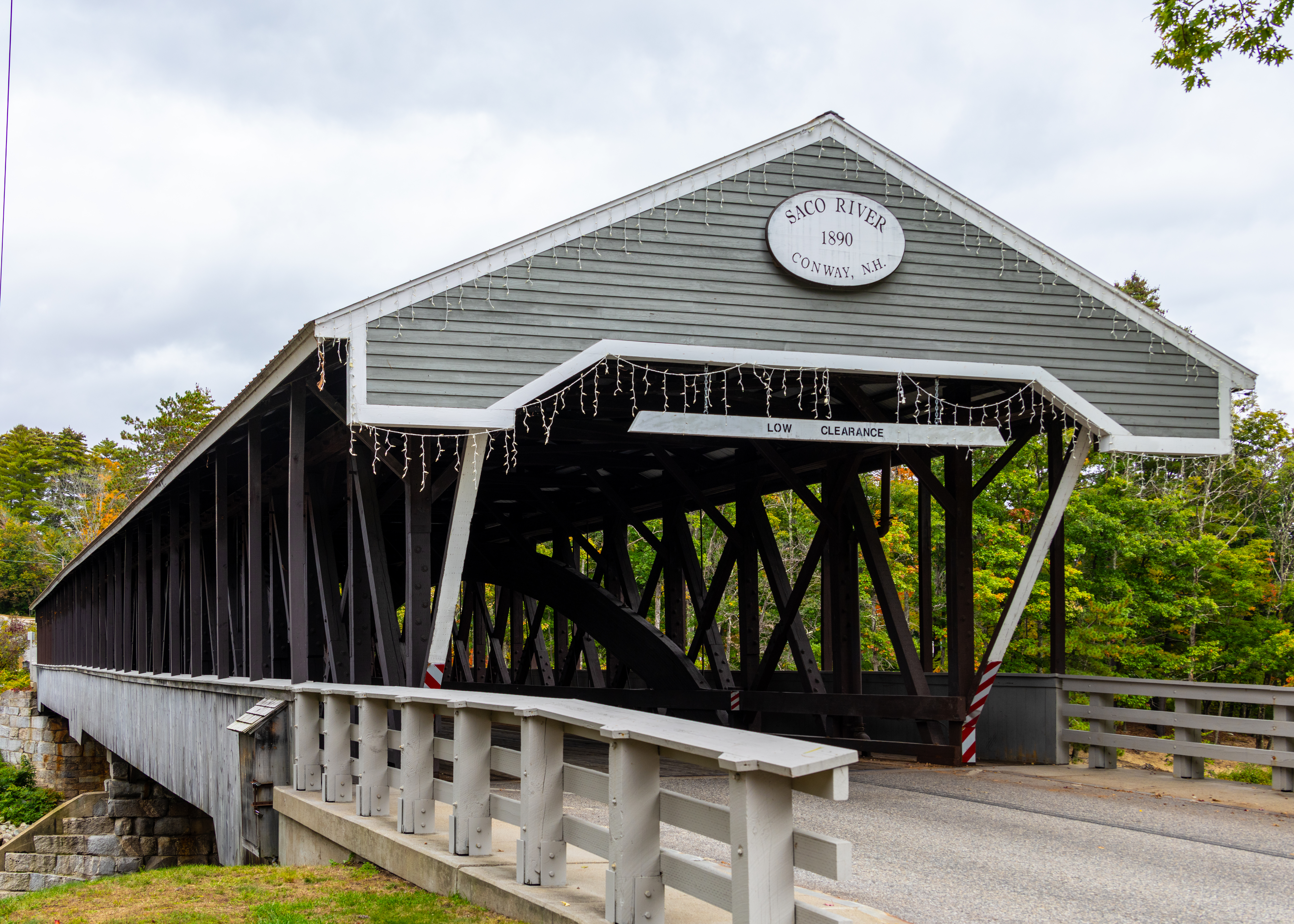
Saco River Covered Bridge is a 19th-century covered wooden bridge in Conway Village in the White Mountains of New Hampshire, spanning the Saco River just north of Route 16. Built in 1890 as a two-span Paddleford truss with arch reinforcement, the roughly 225-foot structure was rehabilitated in the late 1980s and is recognized among the state’s best historic covered bridges.

2026 Fall New England Trip #3 – Tracking Covered Bridges and Waterfalls

Durgin Covered Bridge

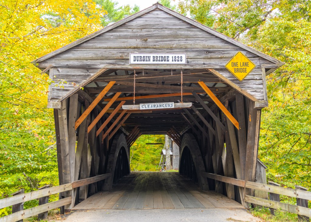
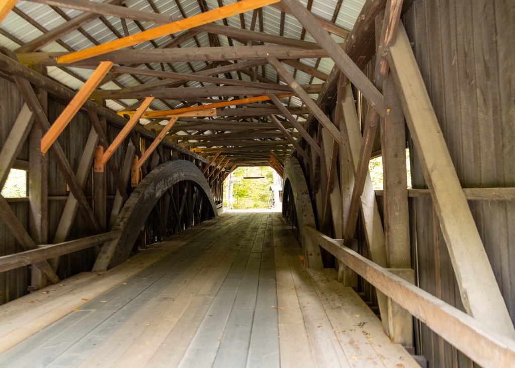
The Durgin Covered Bridge spans the Cold River in Sandwich, NH, and has been the town’s only remaining covered bridge since the Taylor Bridge was removed in 1903. After earlier bridges at the site were destroyed by repeated floods, the current bridge was rebuilt in 1869 by Jacob Berry. Berry removed the center pier and raised the bridge significantly to protect it from future flooding. In 1966, Milton S. Graton and his son Arnold strengthened the Durgin Covered Bridge with laminated arches rather than the proposed steel beams. Additional repairs followed in 1984.

Beede Falls

The falls are hidden down a little-traveled dirt road that extends from Sandwich, NH, to Waterville Valley. The main falls itself is a 35-foot-wide horsetail cascading down a smooth rock face before plunging into a 50-foot-wide pool below. The pool is typically calf- or knee-deep, and you can sometimes squeeze behind the falls. The pool is drained by two lazy rivers that merge back together shortly downstream.
Squam Covered Bridge

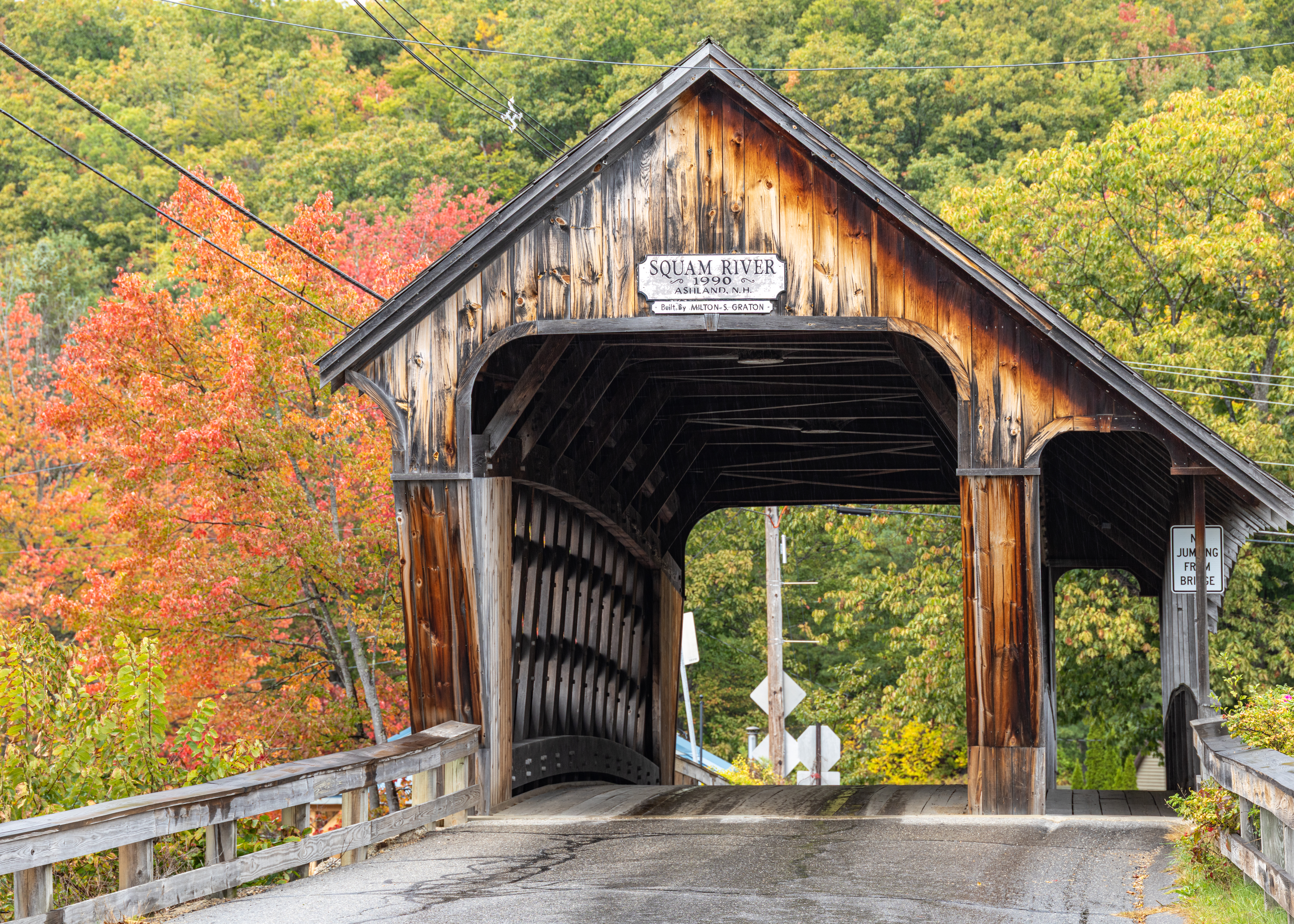
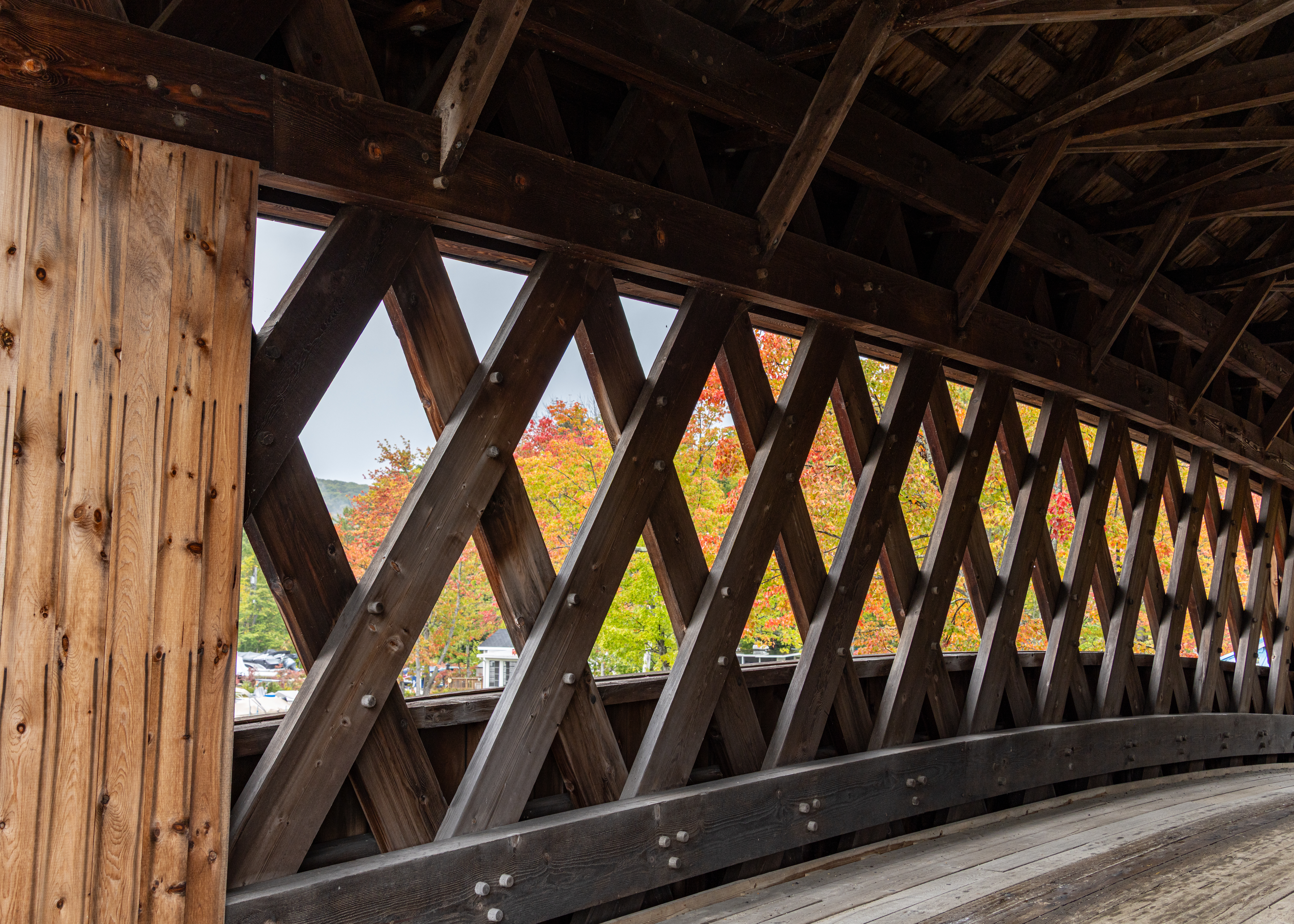
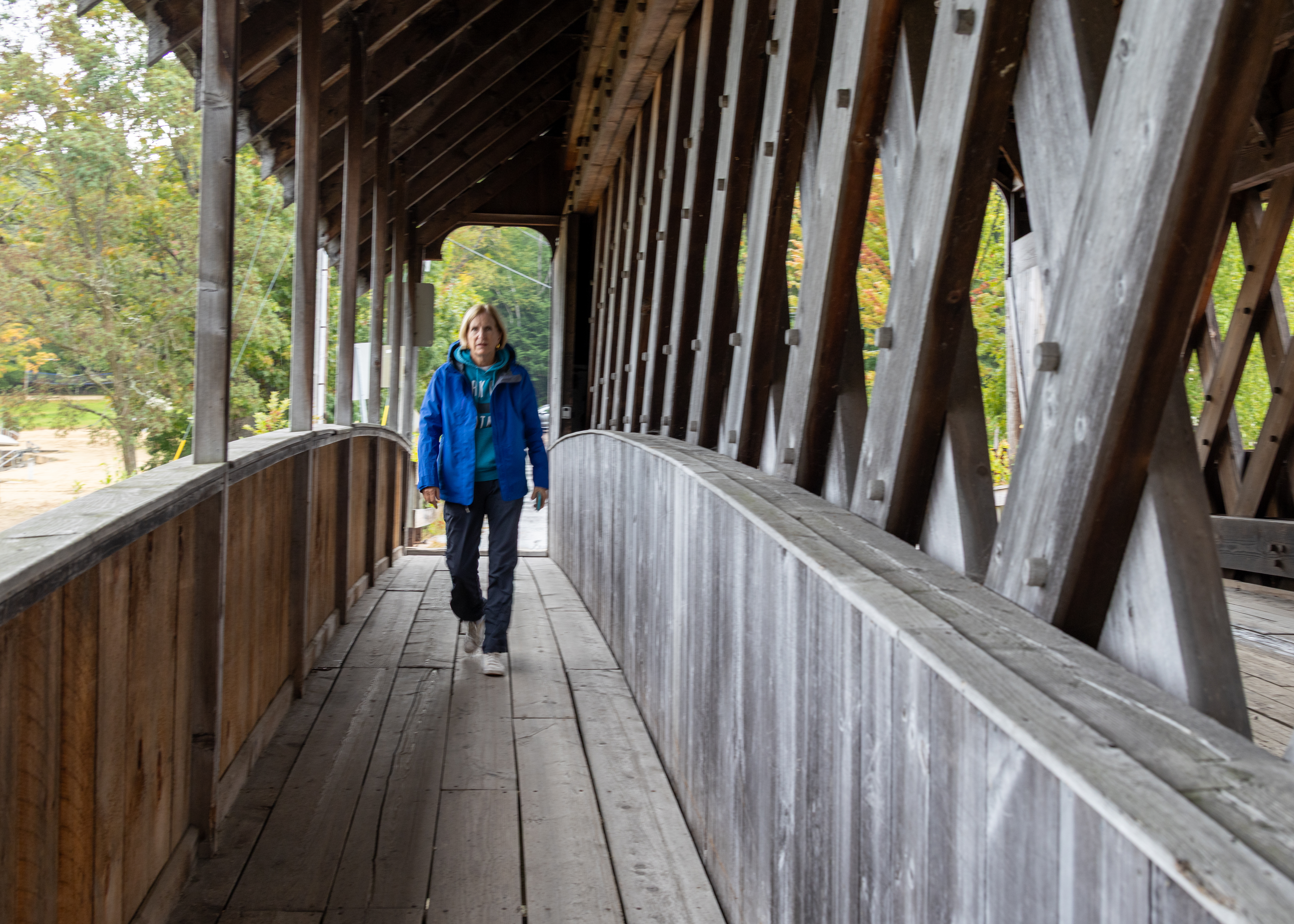
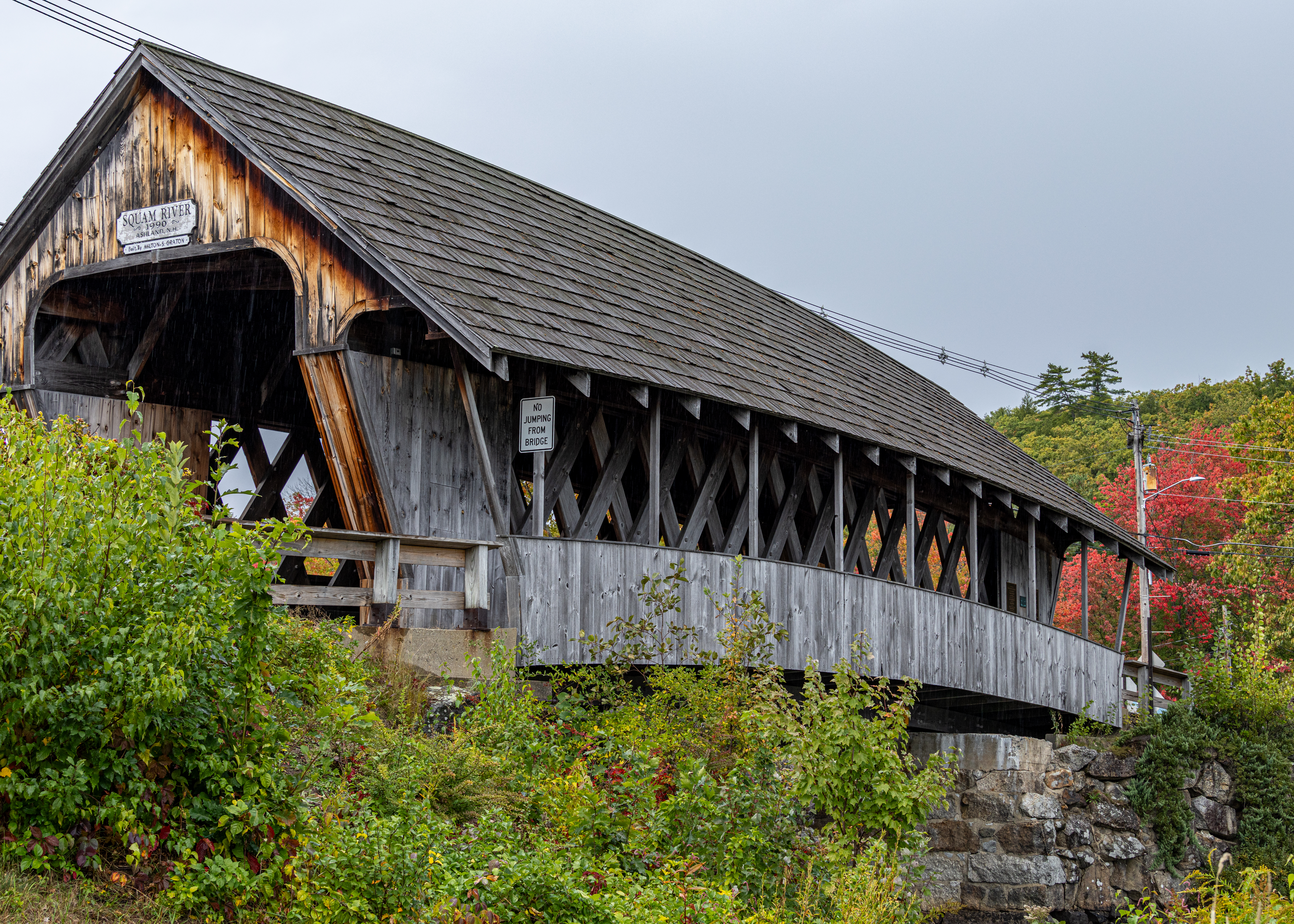
Squam River Covered Bridge is a one-lane covered bridge in Ashland, New Hampshire, spanning the Squam River at the outlet of Little Squam Lake. Built and dedicated in 1990 by Milton Graton and Sons, the 61-foot town lattice truss replaced a condemned steel and concrete span after local fundraising secured a single-lane covered bridge. A pedestrian walkway on the Little Squam side offers lake and river views.  
Blair Covered Bridge

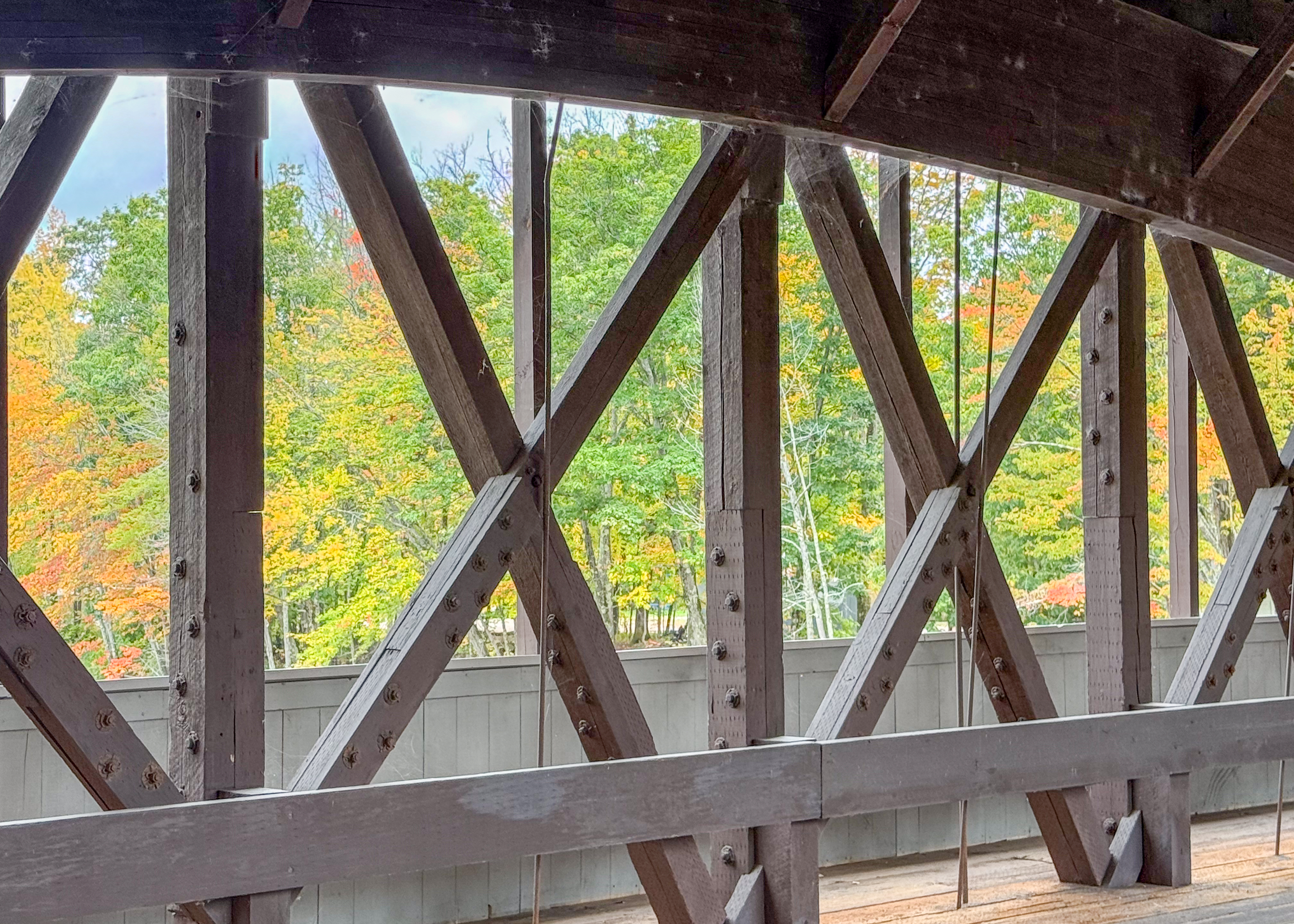
Built in 1870 by Hiram W. Merrill for $3,350, the Blair Covered Bridge spans the Pemigewasset River in Campton. The 293-foot, two-span Long truss with arches replaced an earlier bridge destroyed by arson in 1869. Major rehabilitation in 1977 was completed by Milton S. and Arnold M. Graton, repairing the deteriorated corners, replacing the floor joists, and reinforcing the granite abutments.
Compton Falls

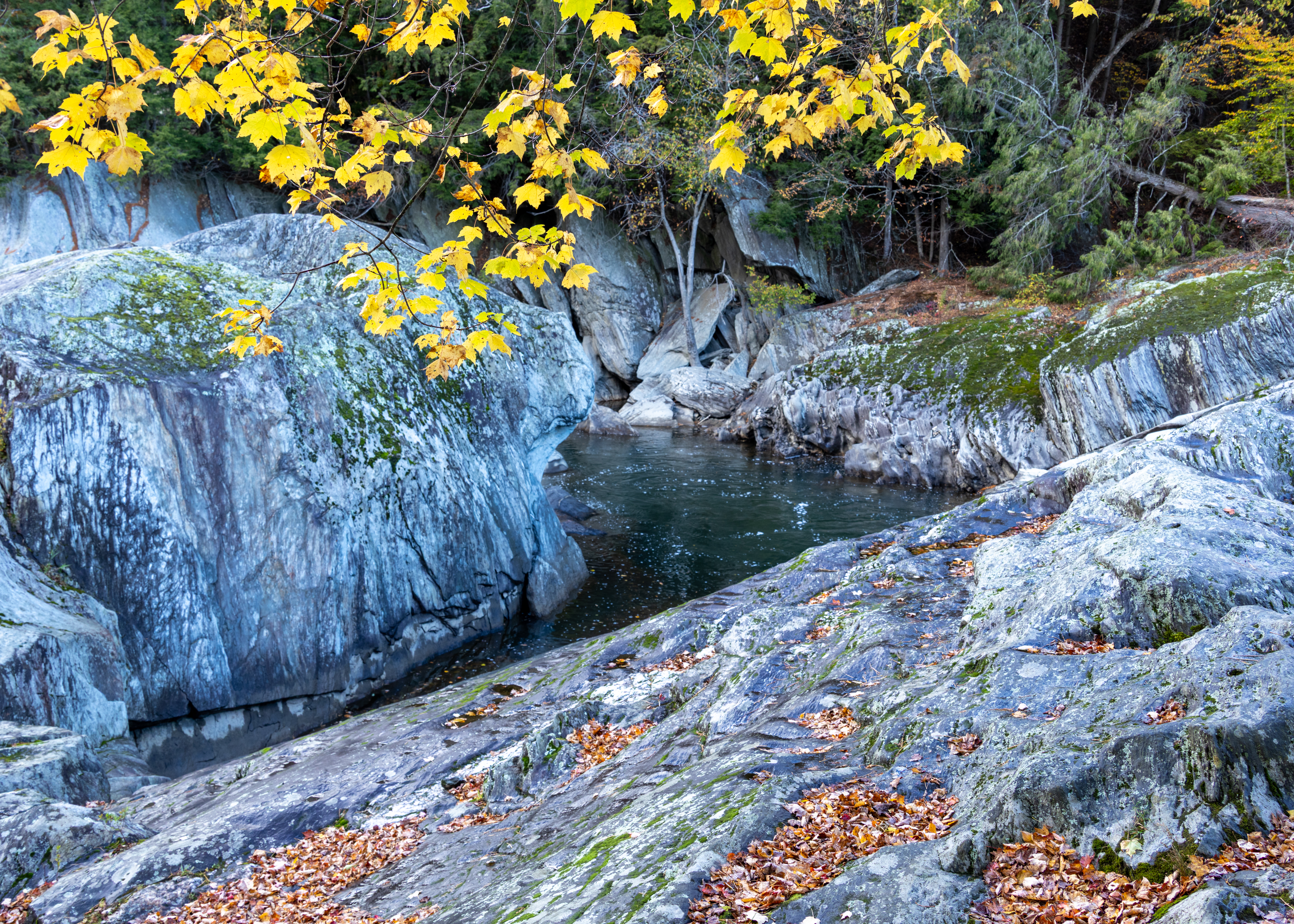
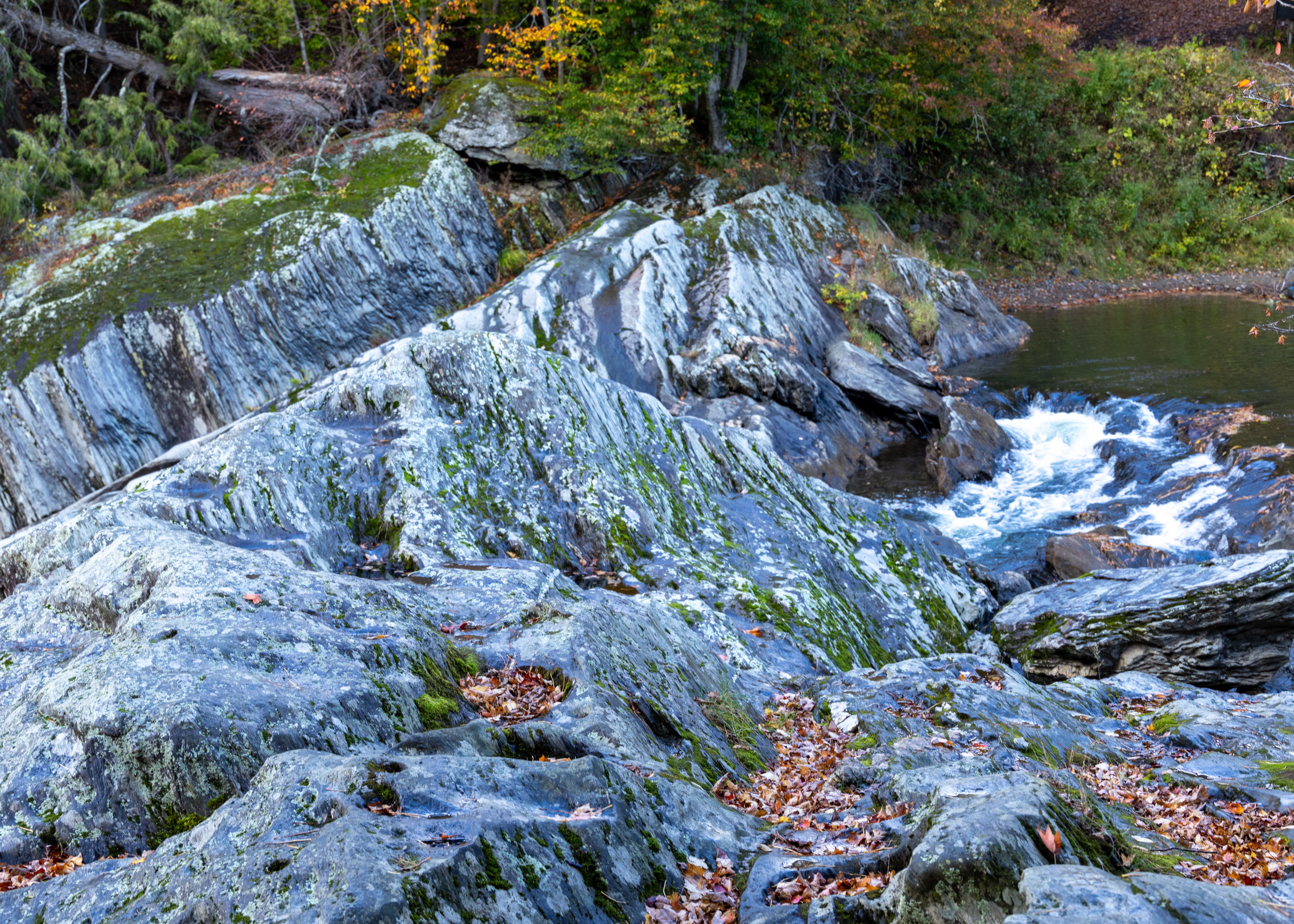
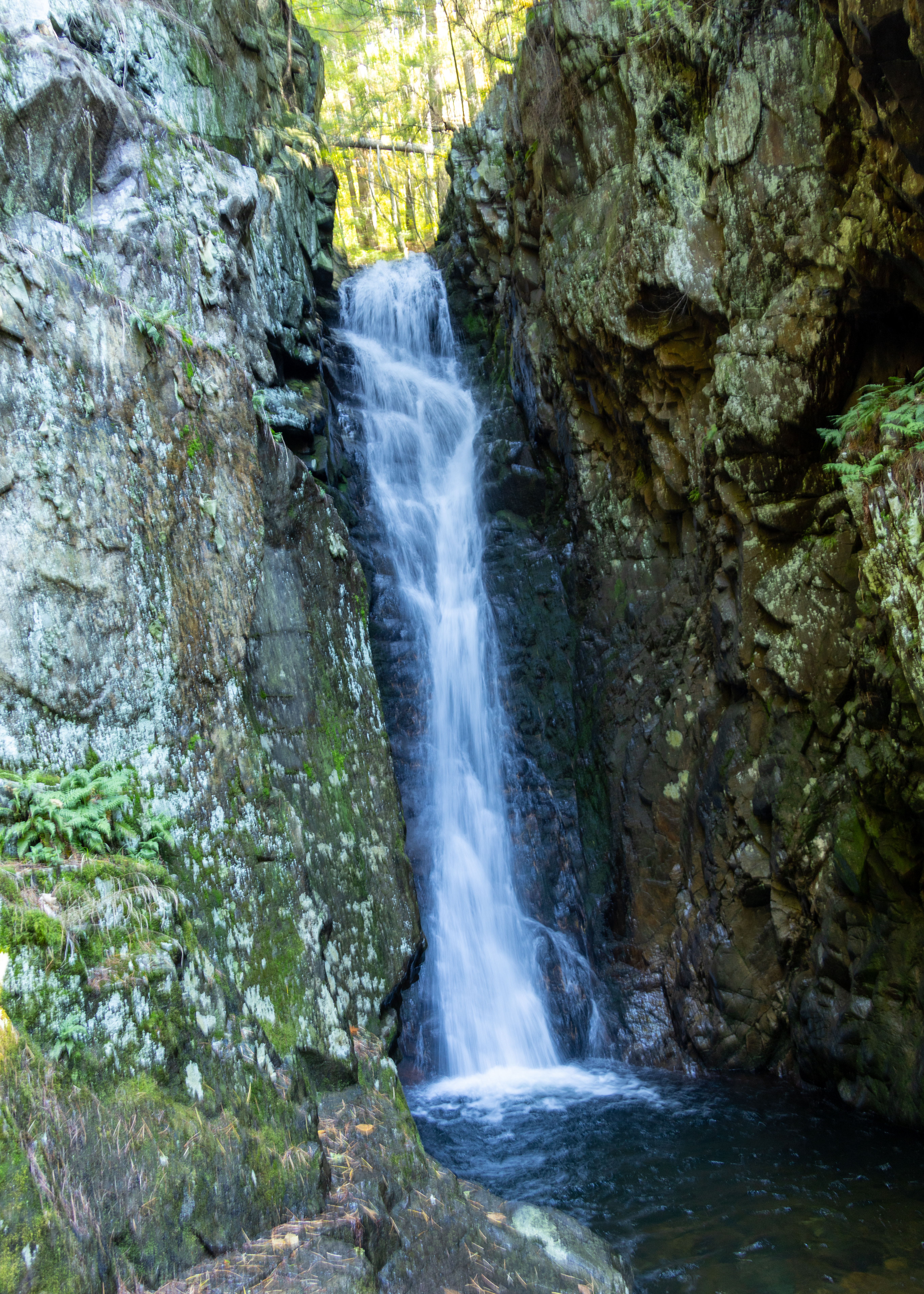
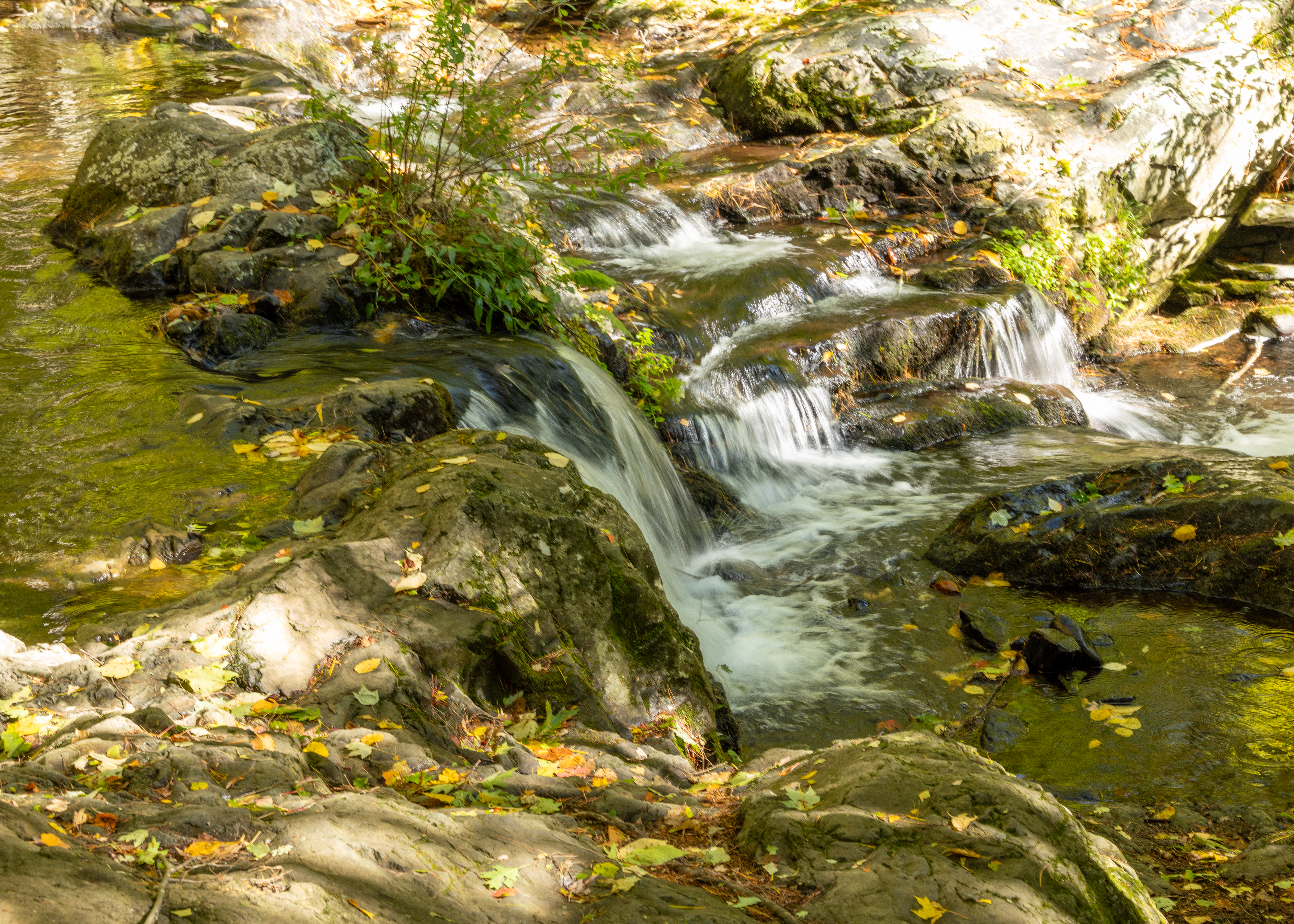
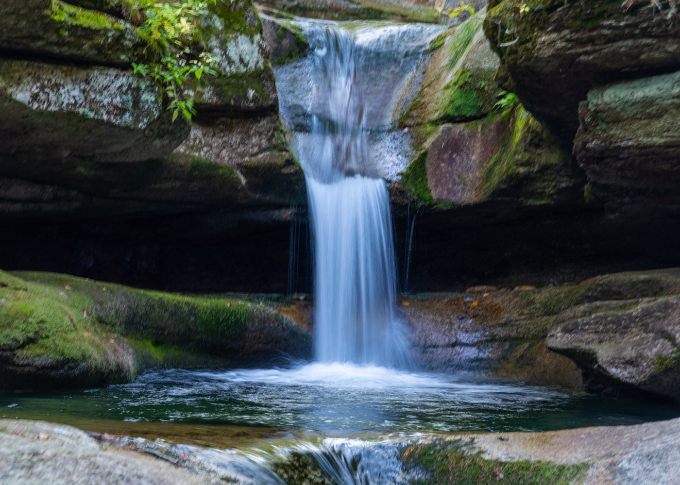
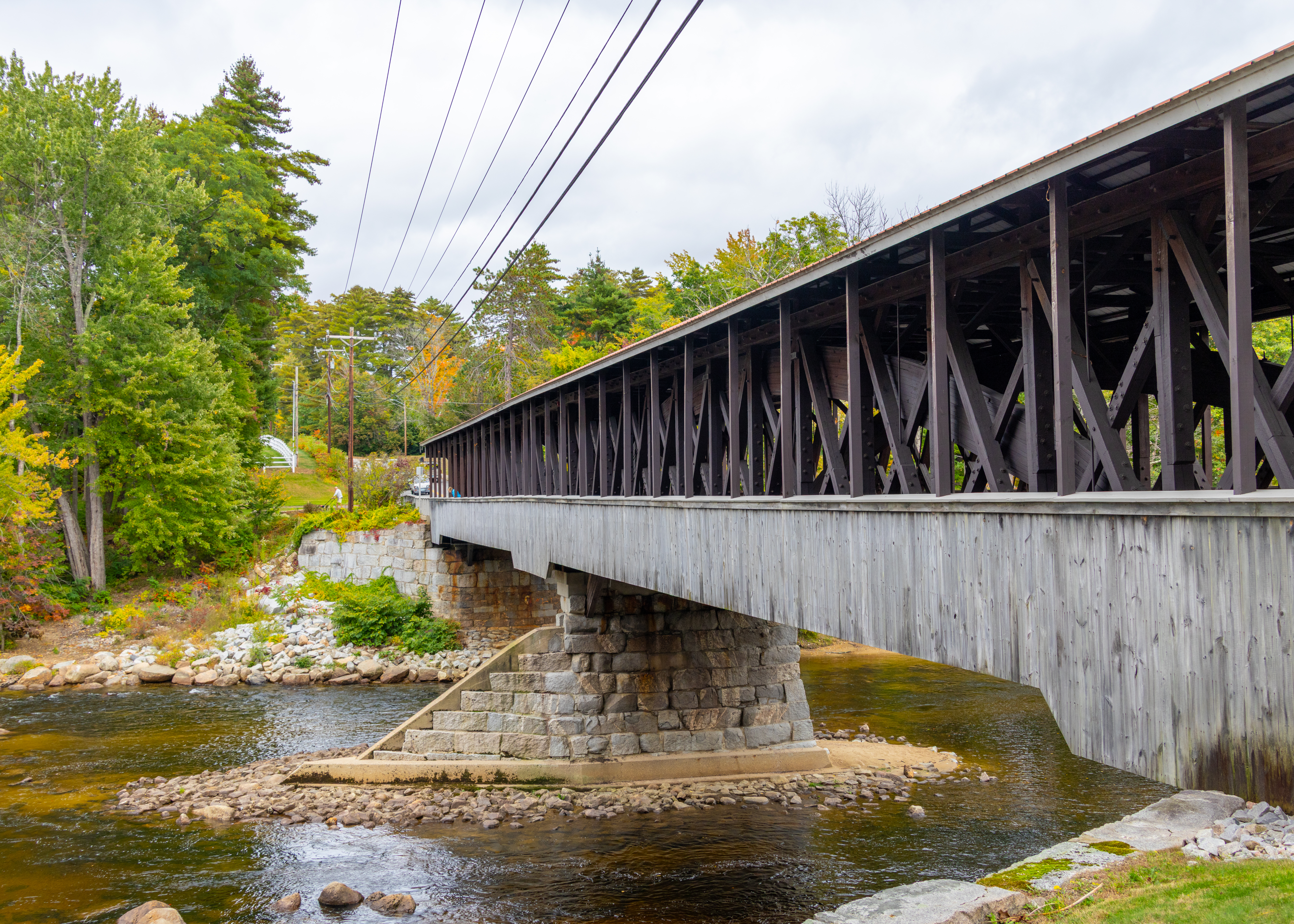
Beebe River Falls, also known as Campton Falls or Beebe River Falls, is a tiered waterfall on the Beebe River in Campton in New Hampshire’s White Mountains. A broad block-style central drop sits within a pine-and-hemlock gorge, with a cumulative descent of about 36 feet and a crest roughly 55 feet wide. Visitors reach the falls from a roadside pullout (which will bottom out your car) on Route 175 and follow a short, fairly steep path or scramble to reach viewing areas; be advised: wet, rocky, and slippery.

Turkey Jim Covered Bridge

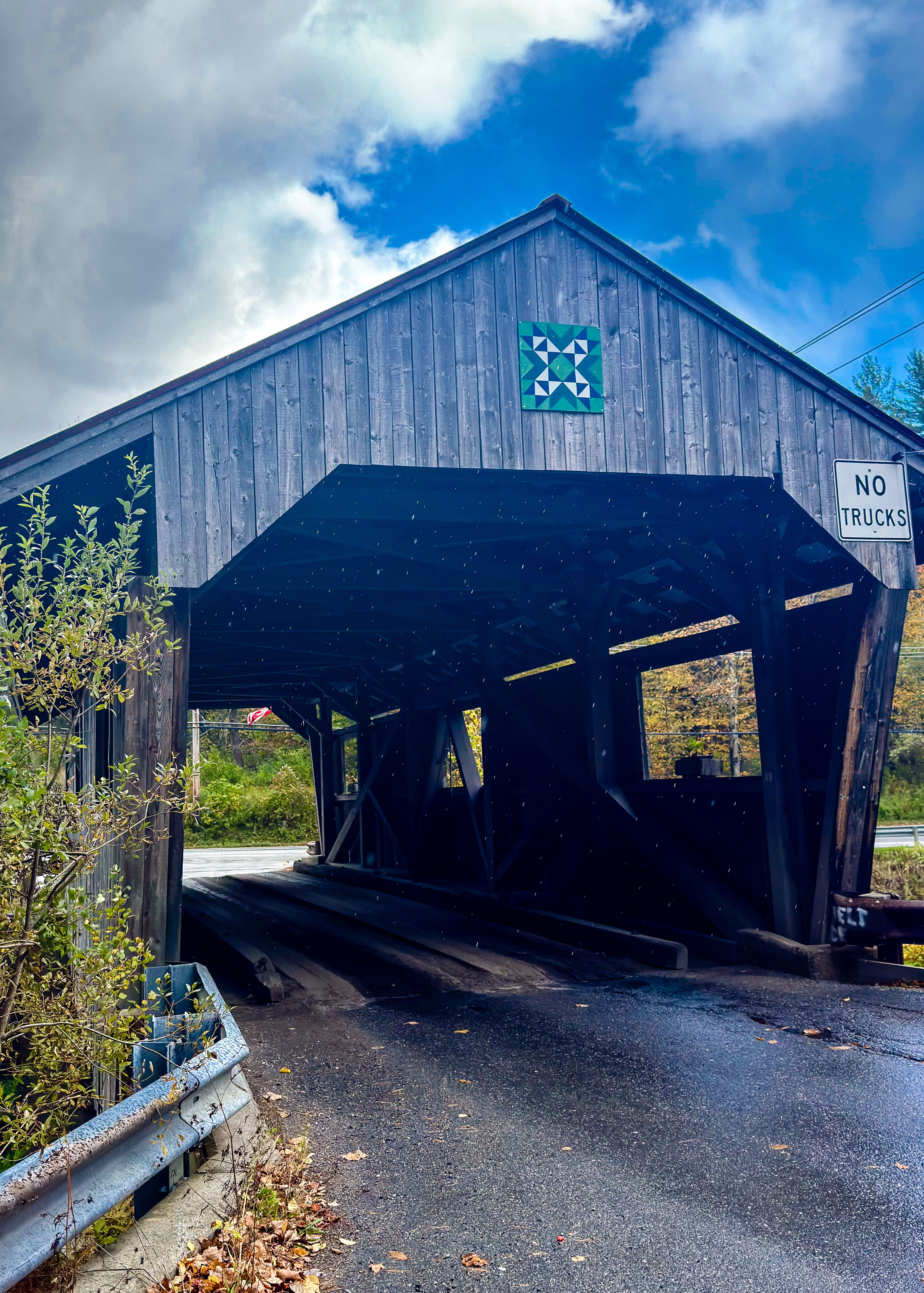
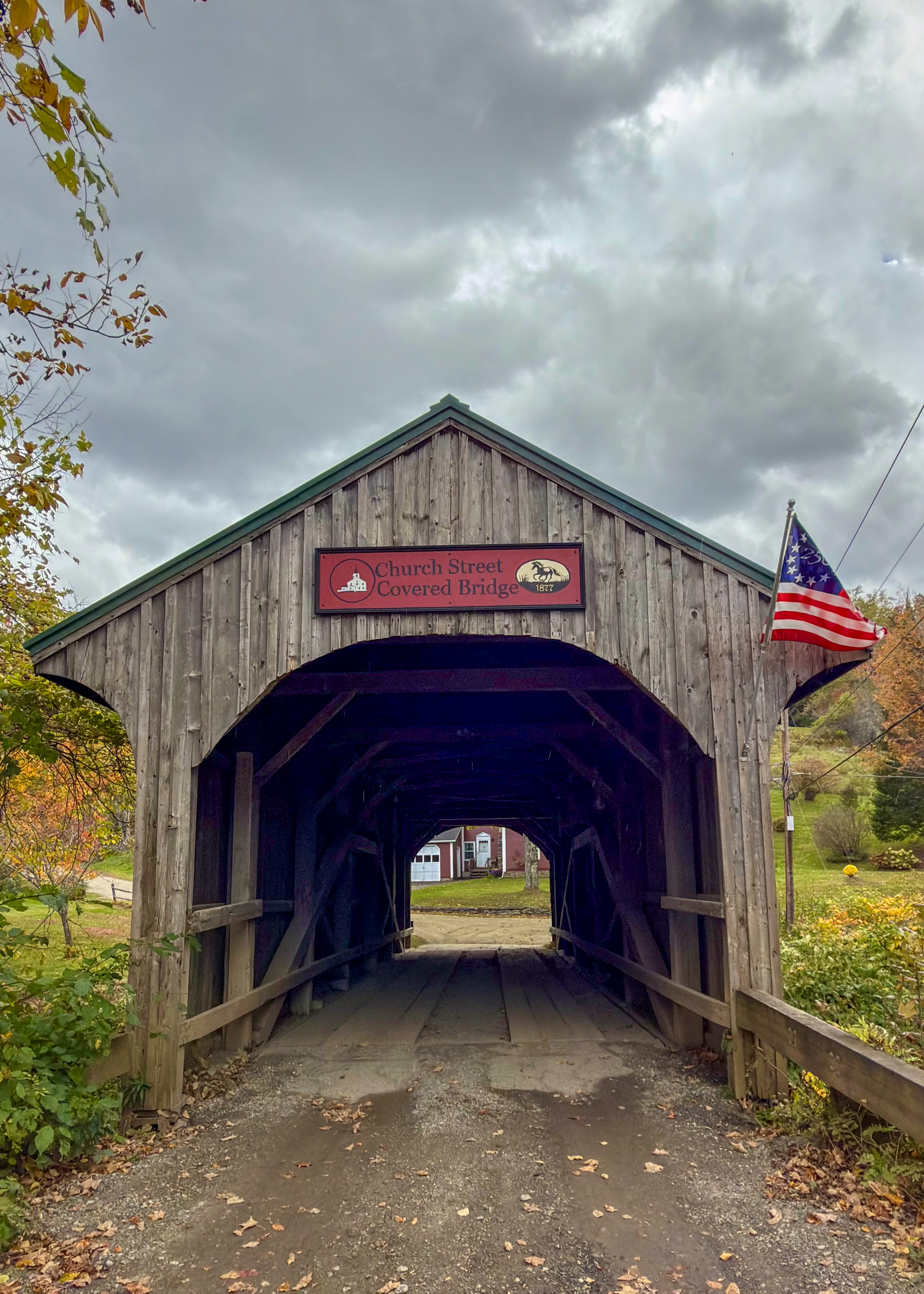
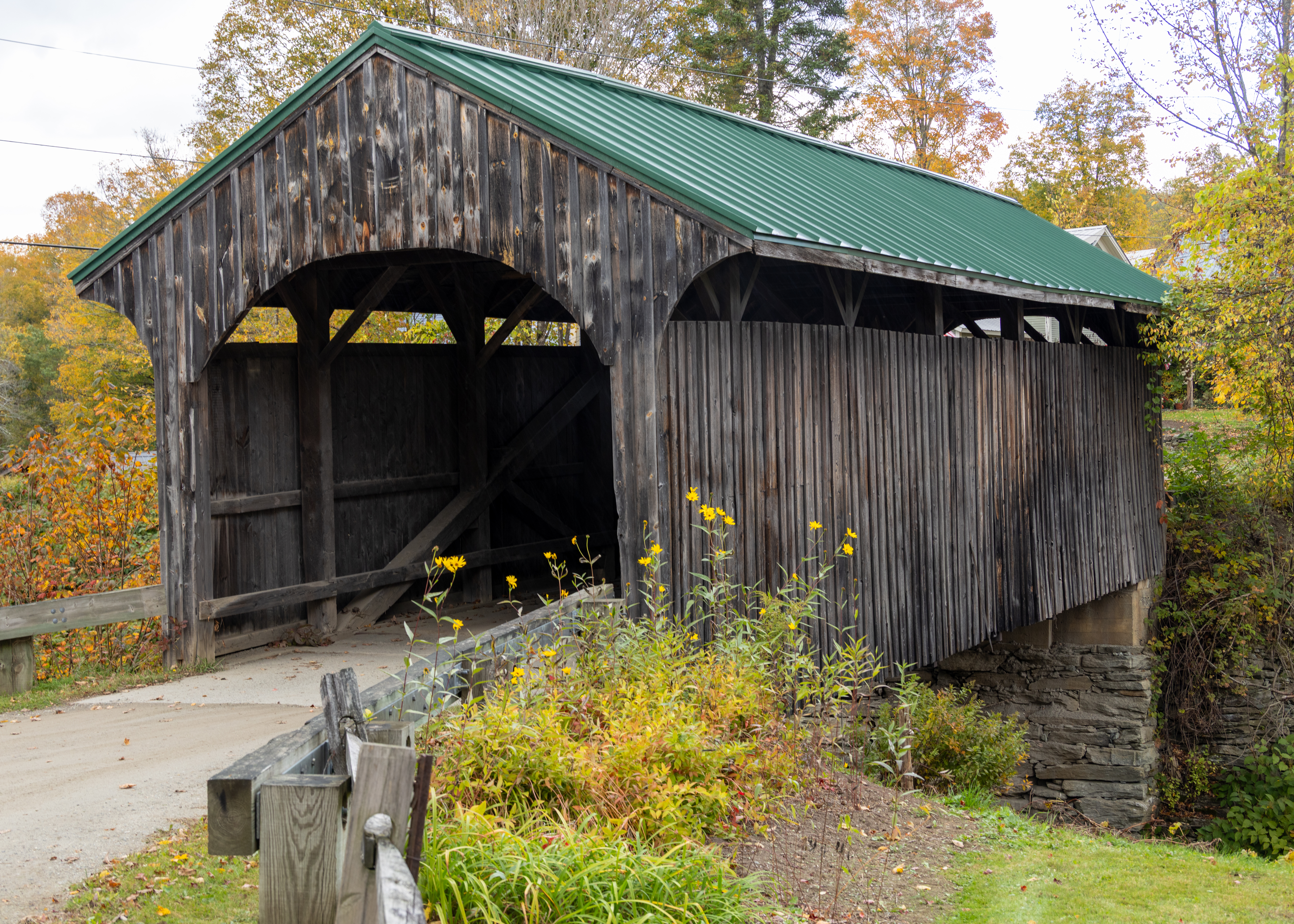
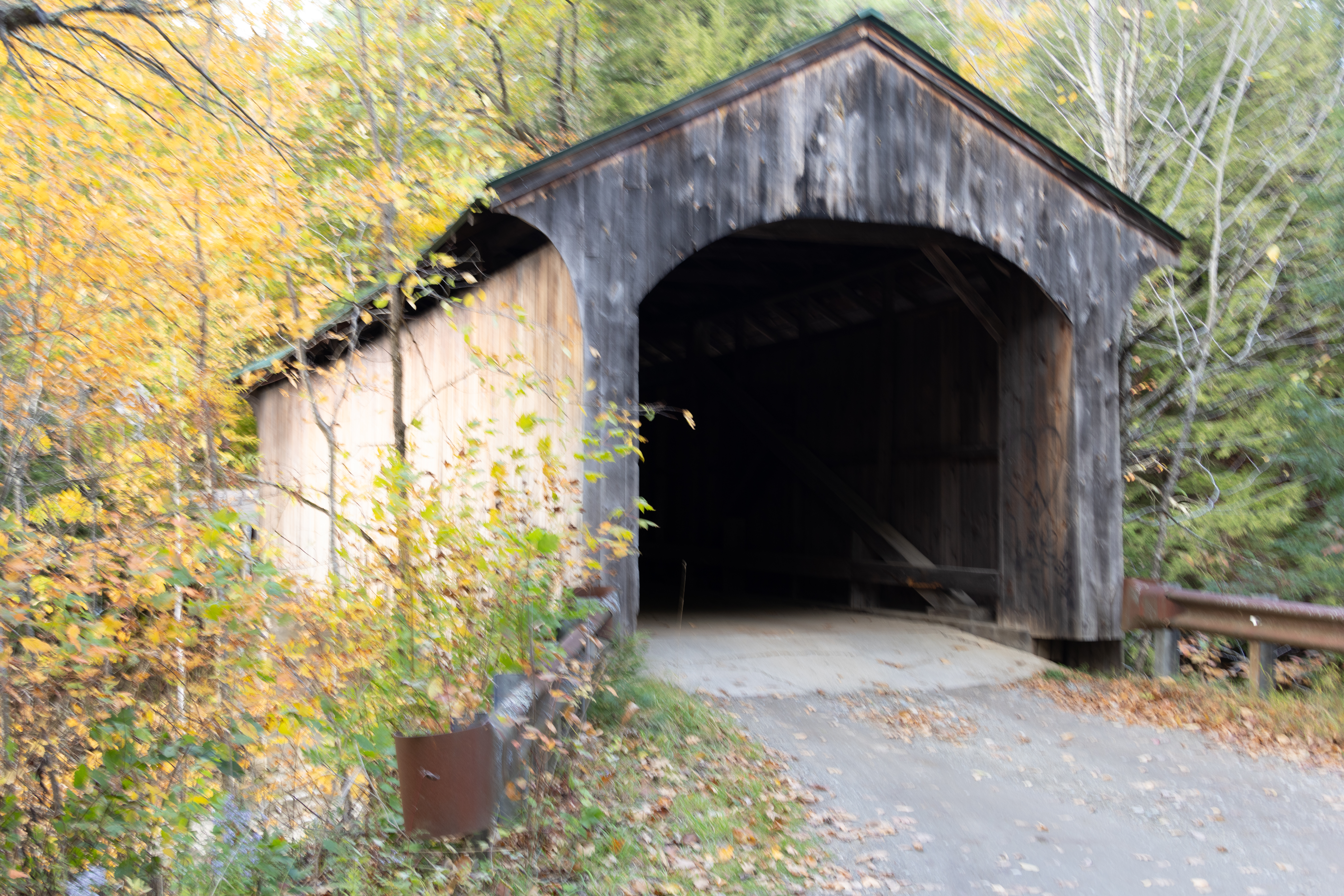
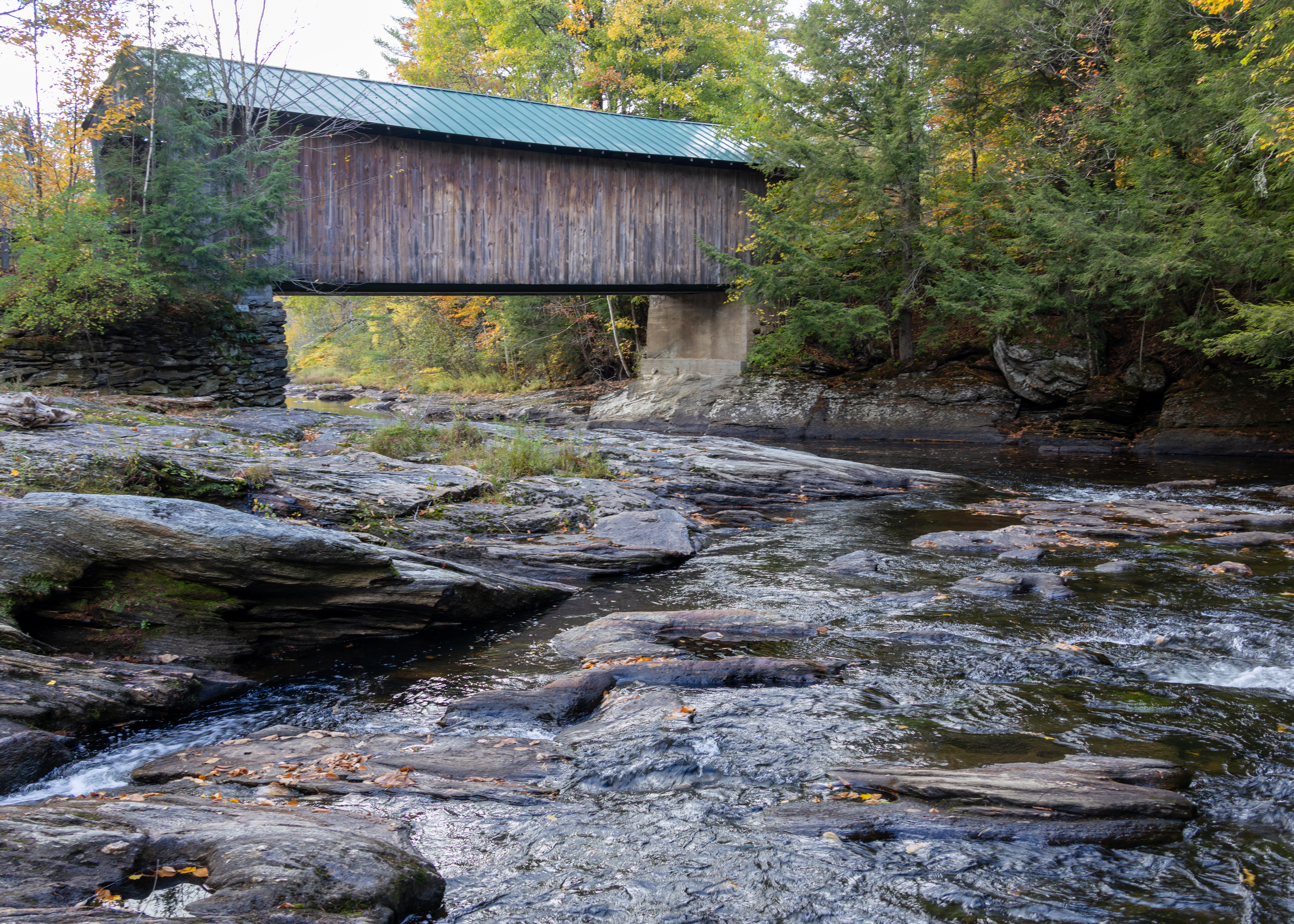
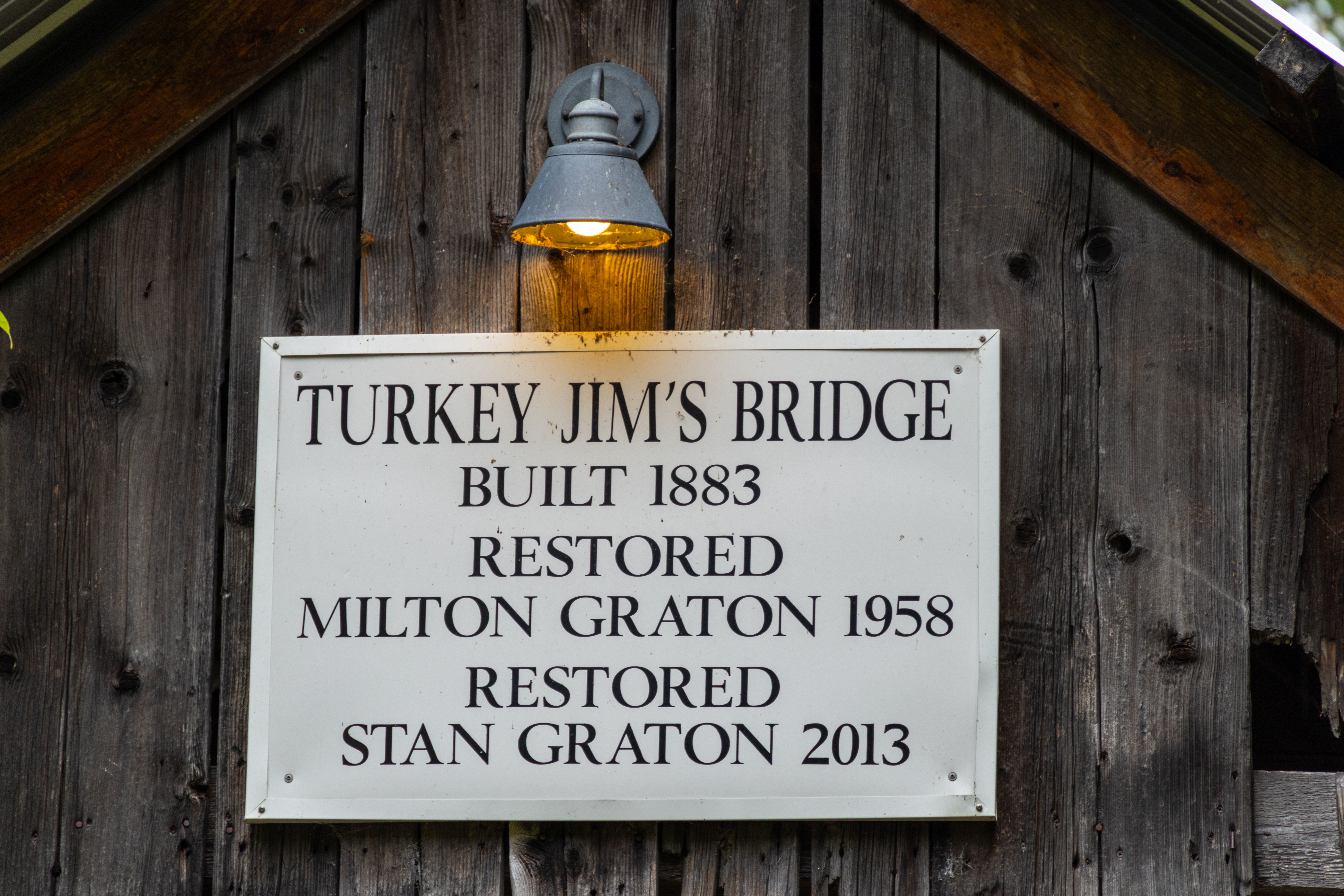
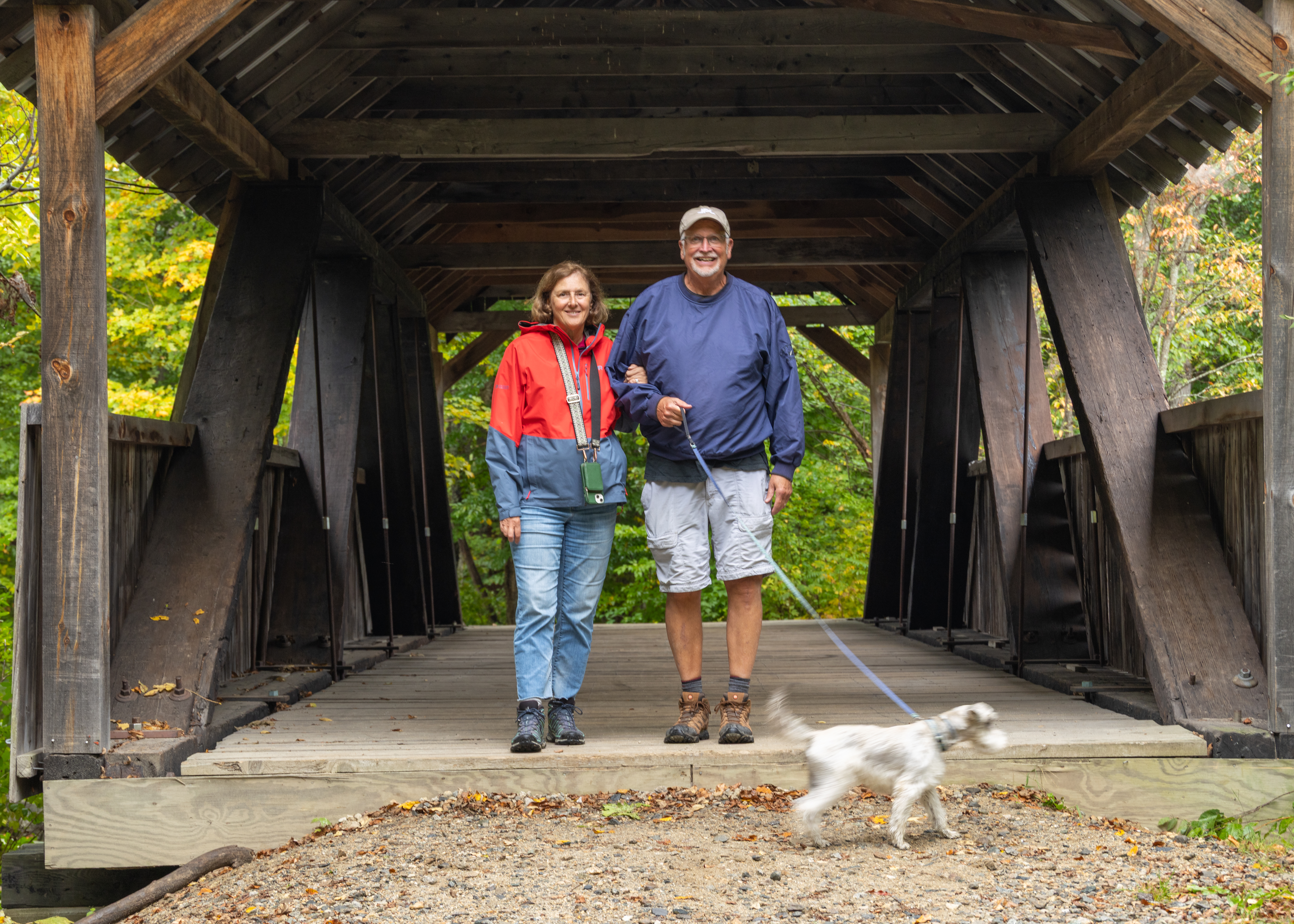
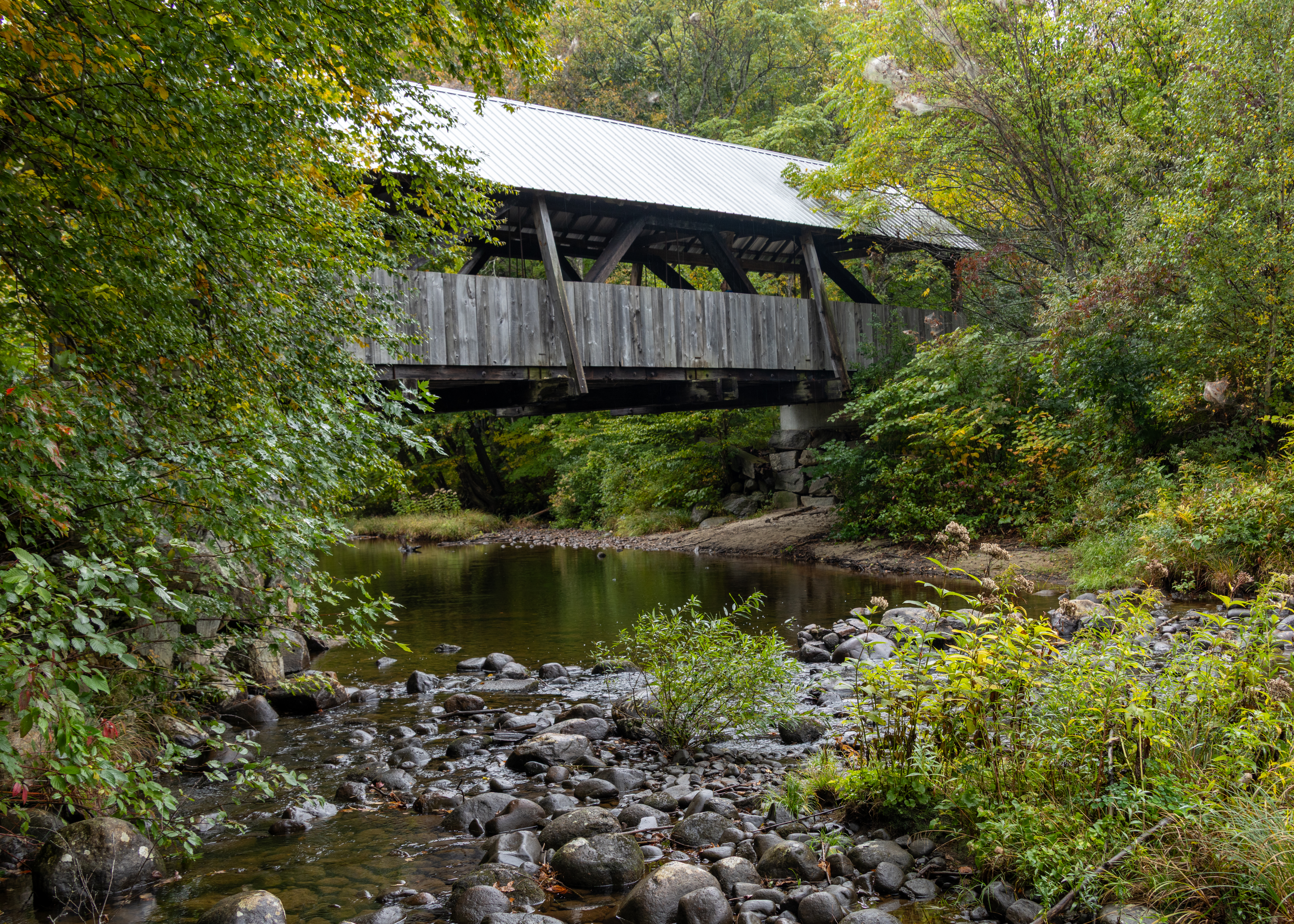
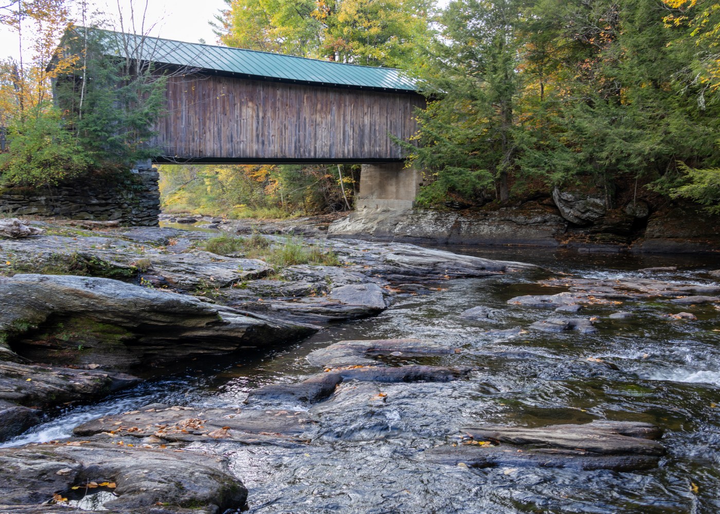
Built around 1885 by local carpenter Elijah Mitchell Jr. for $433.69, the Turkey Jim’s Bridge spans West Branch Brook in Campton, NH. The 61-foot Queenpost truss was reconstructed in 1958 by Milton S. Graton for $3,700, using modified trusses and salvaged timber.

The bridge was washed from its abutments by flooding in 1973, 1988, and again during Tropical Storm Irene in 2011. Following the 2011 flood, Stanley E. Graton of 3G Construction rebuilt the bridge using salvaged and replacement timber and raised the abutments three feet.

2026 Fall New England Trip #2 – Around Kancamagus Highway

Our first stop of the day was at the Lincoln Woods Visitor center and a short walk over 180-foot suspension bridge which offers views up the East Branch of the Pemigewasset River. We planned on hiking the trail but found out it was closed because crews are performing major riverbank stabilization and trail reconstruction. 

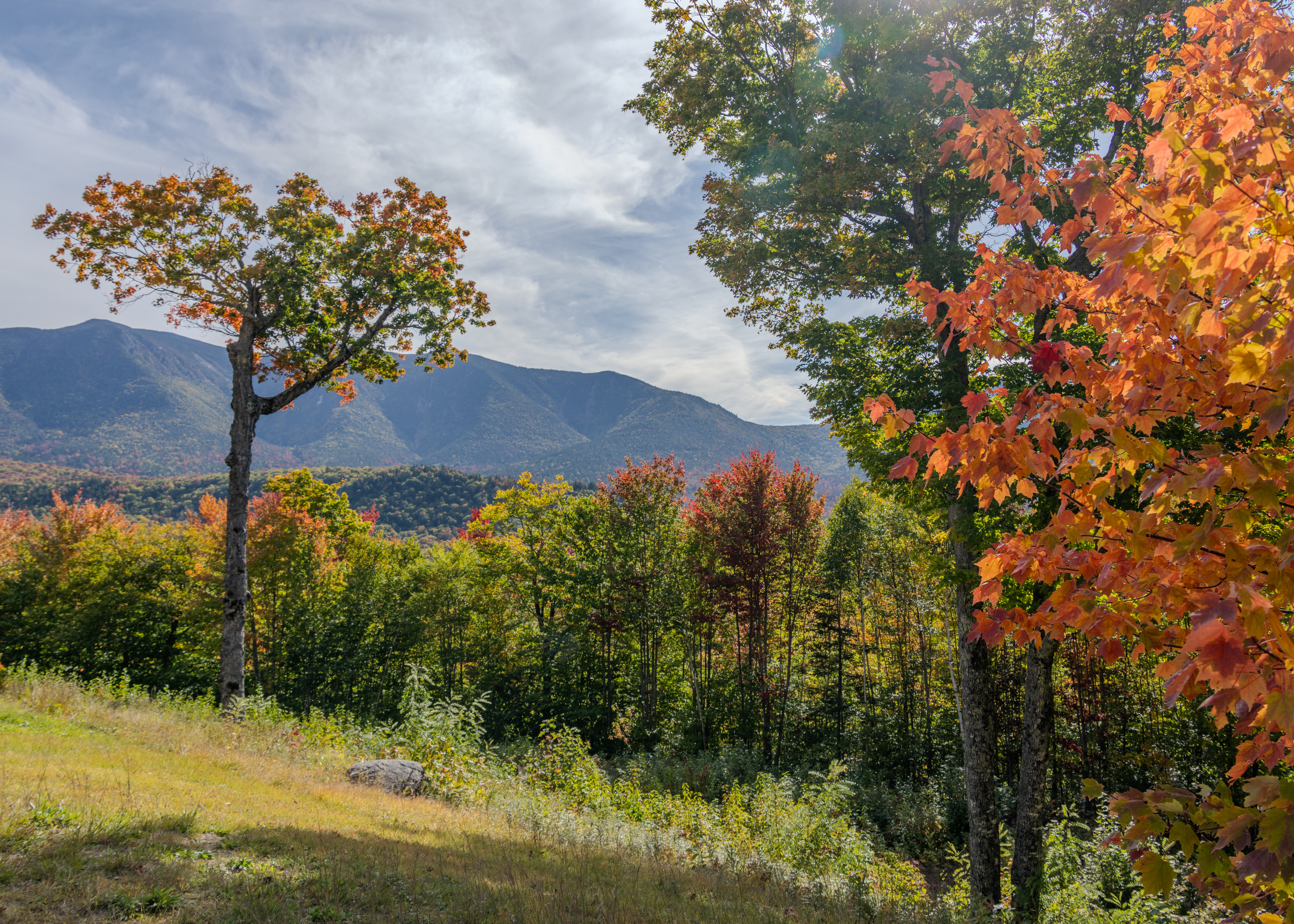
Hancock Overlook was our next stop offering expansive views west and southwest across the Osceola Range. The stop provided our first expansive view of the changing tree colors.

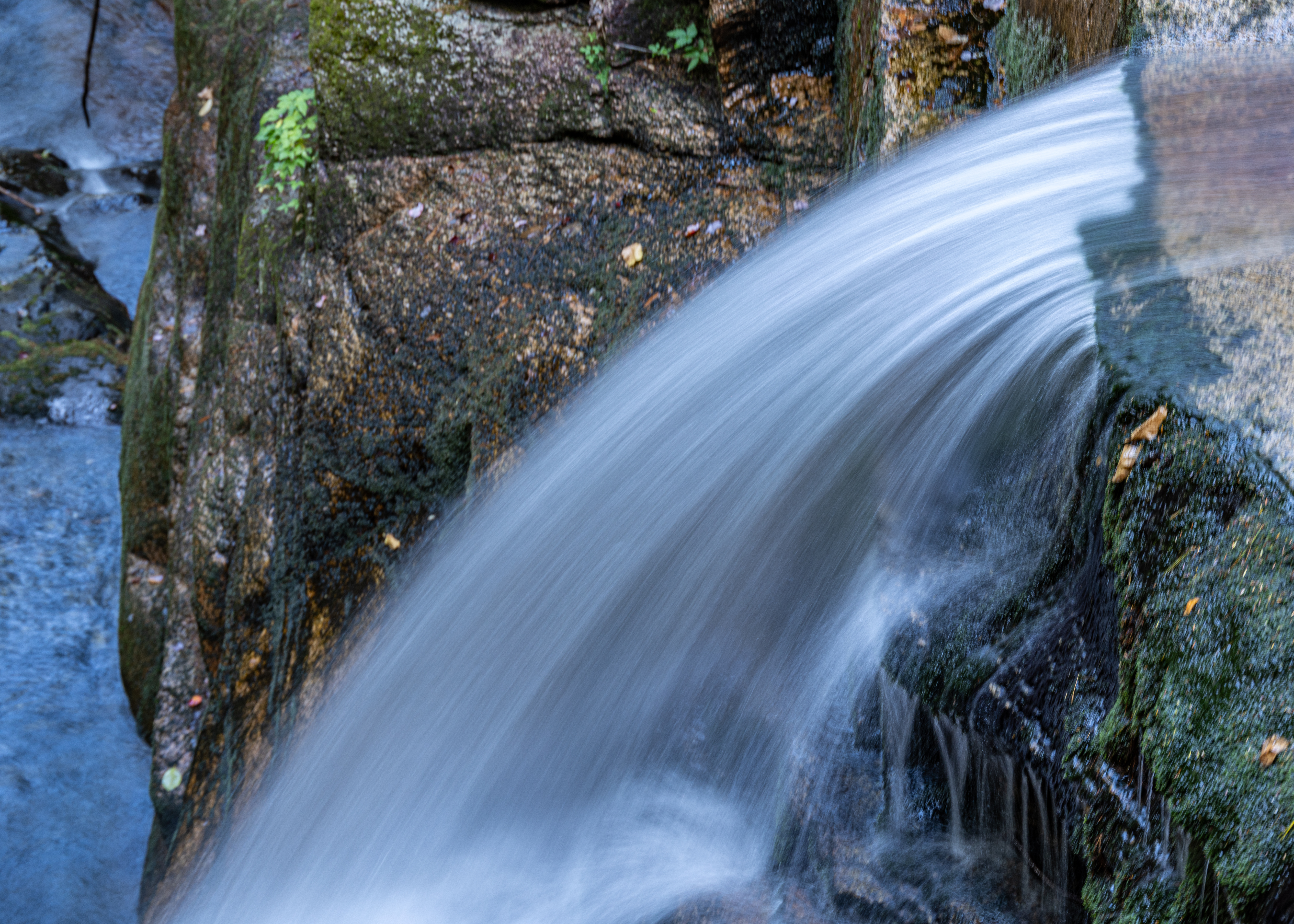
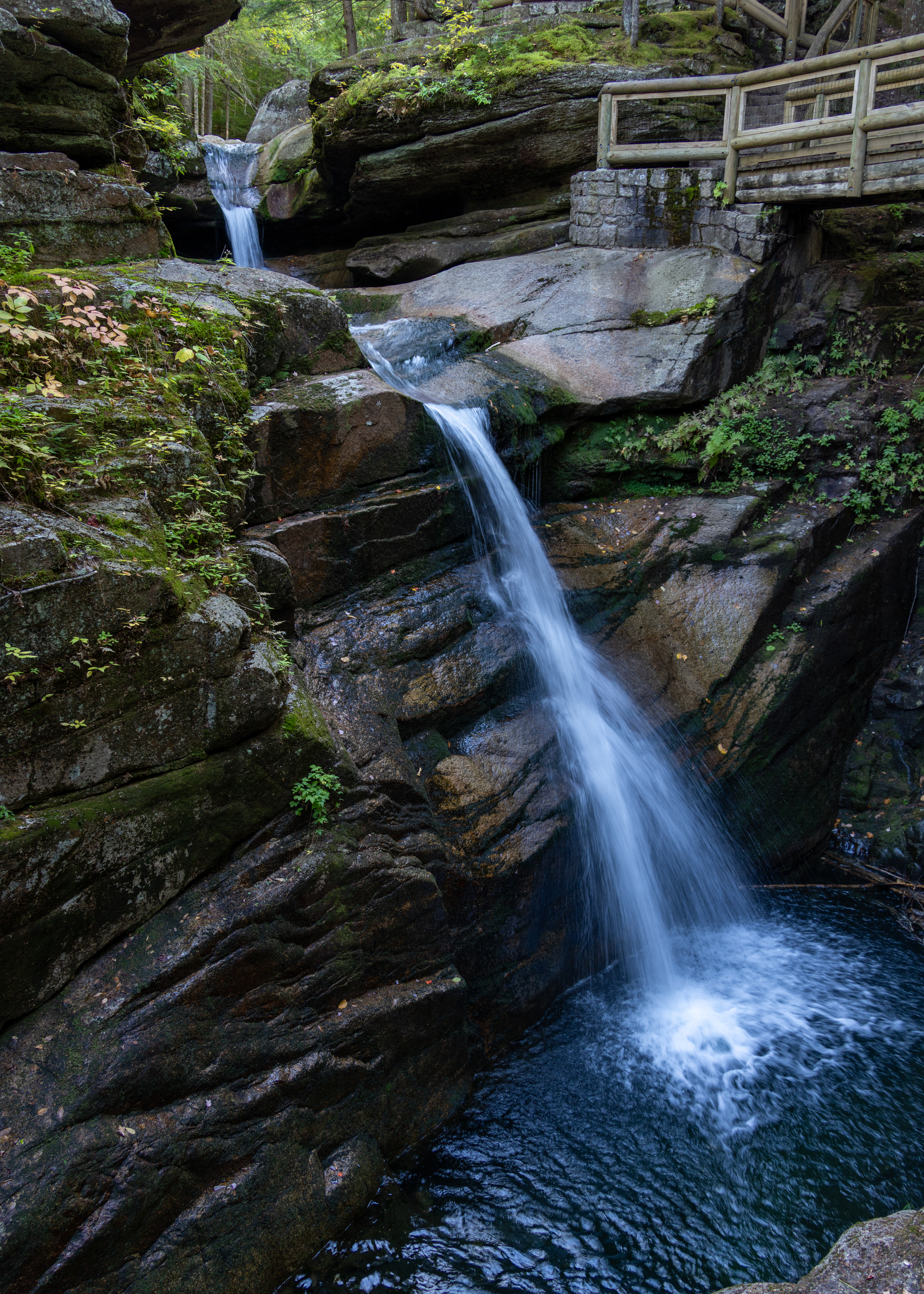
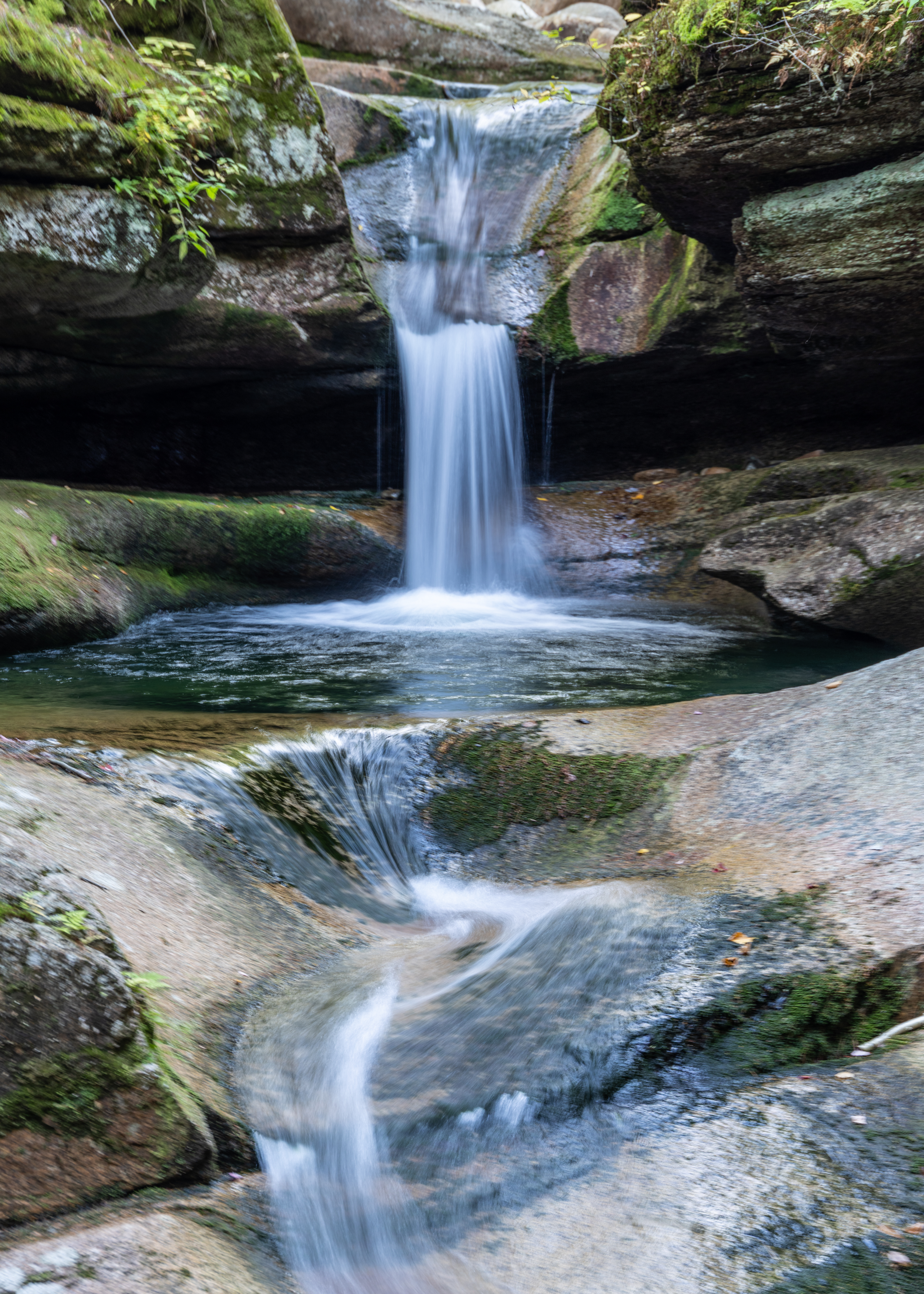
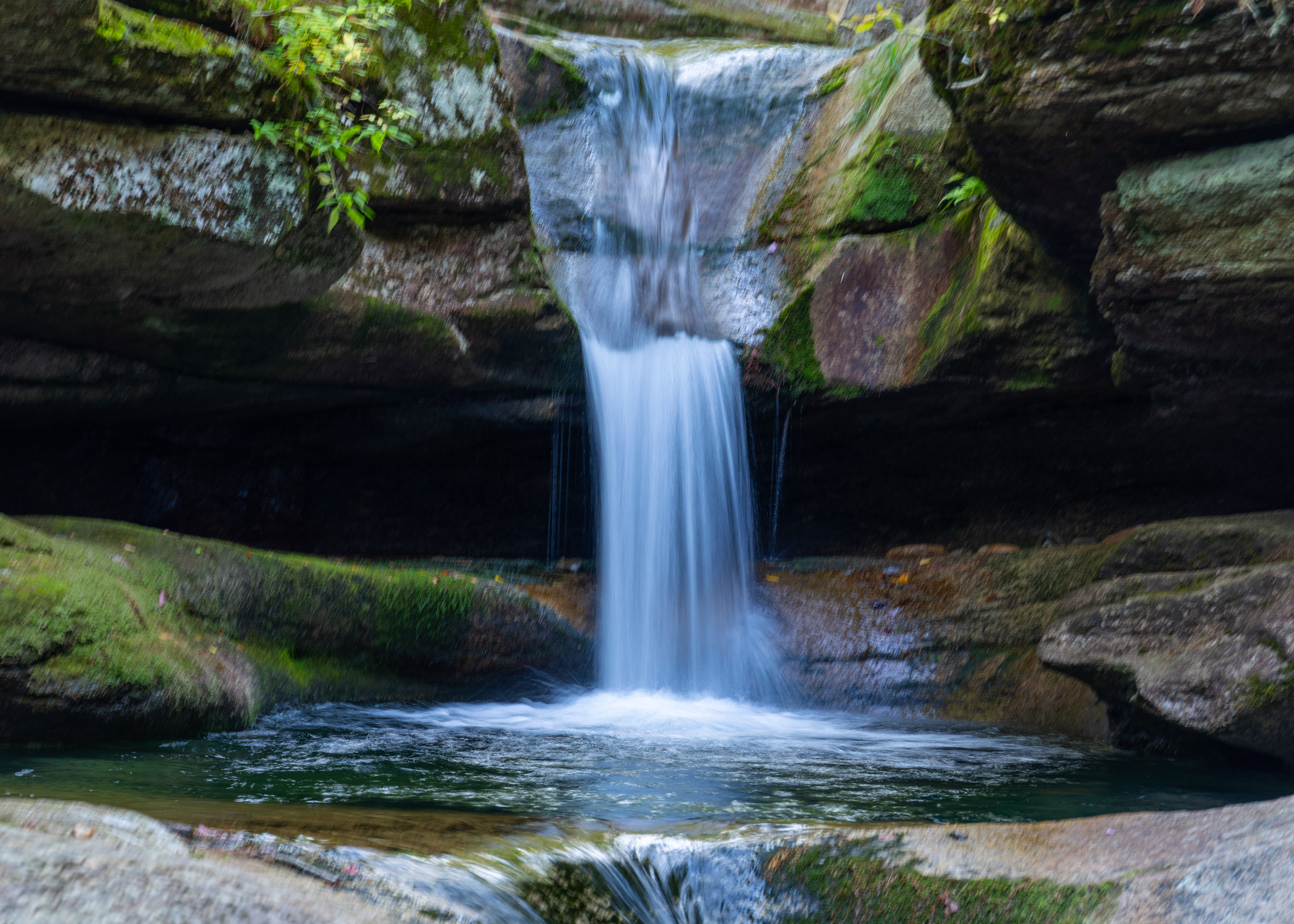
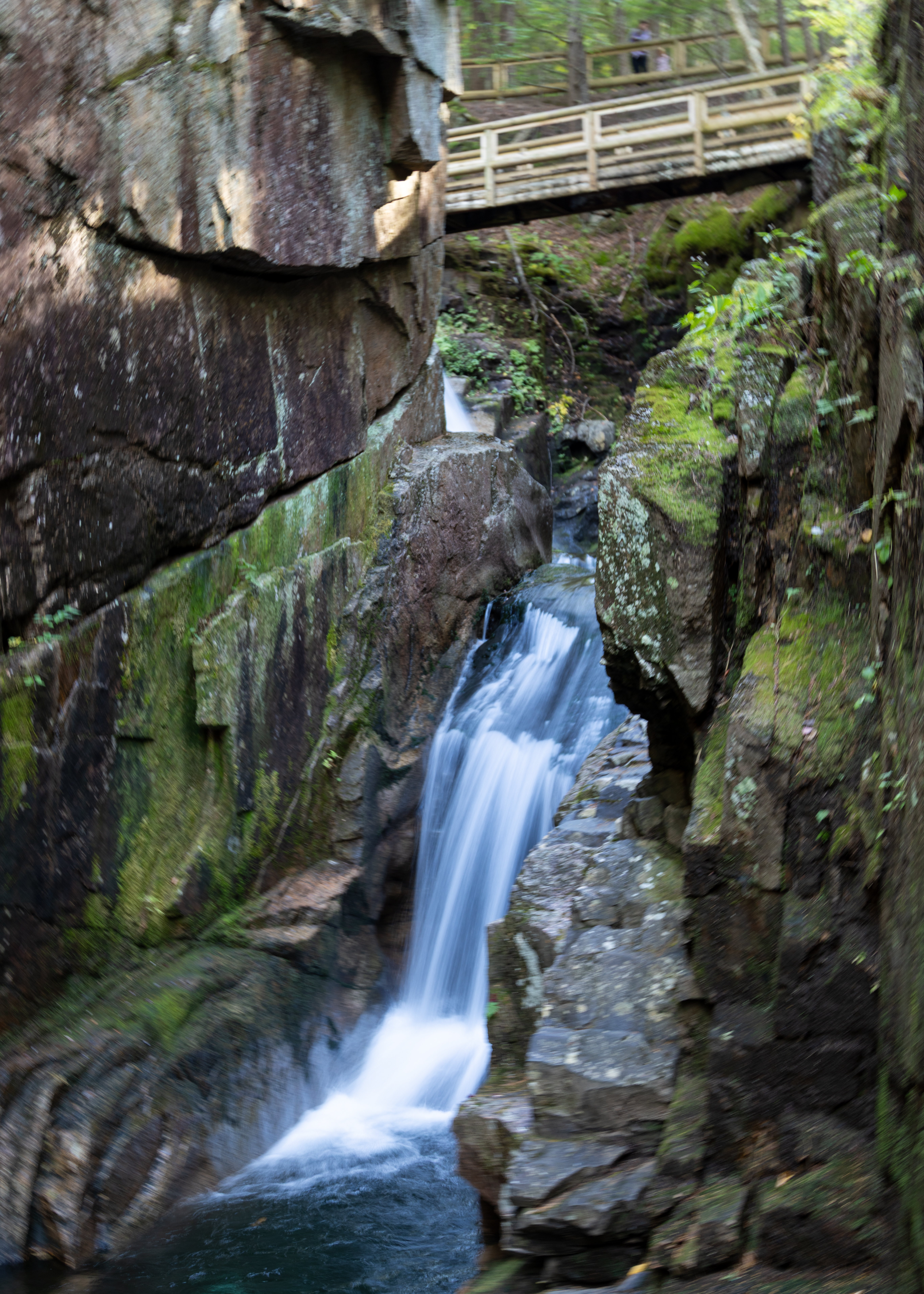
Driving further along the Kancamagus Highway, we stopped at Sabbaday Falls. This stunning 0.7-mile out and back trail is a gentle, crushed gravel path to a multi-plunge, 35′ waterfall. A mini loop trail takes you to both the bottom and upper stretches of the falls.

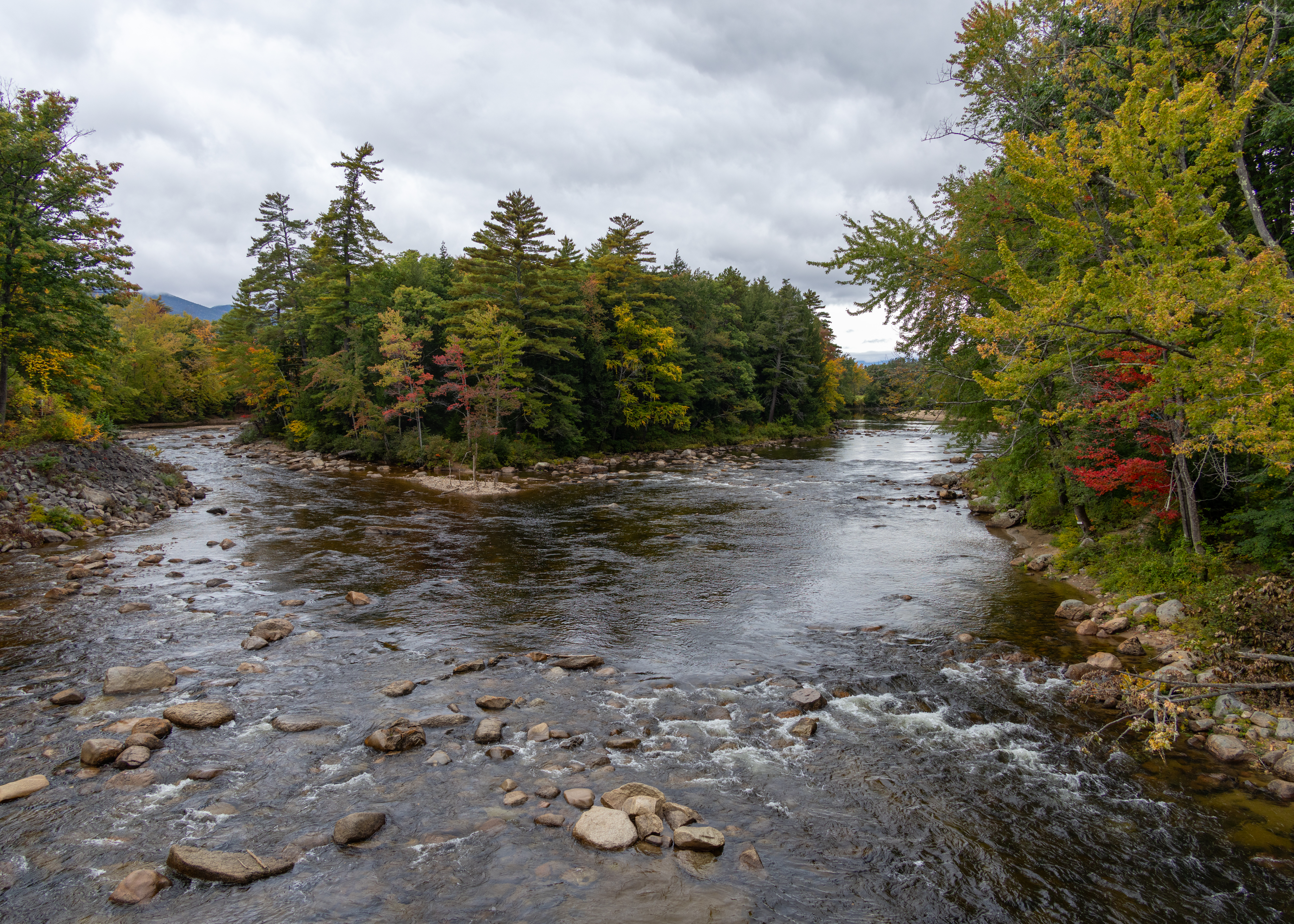
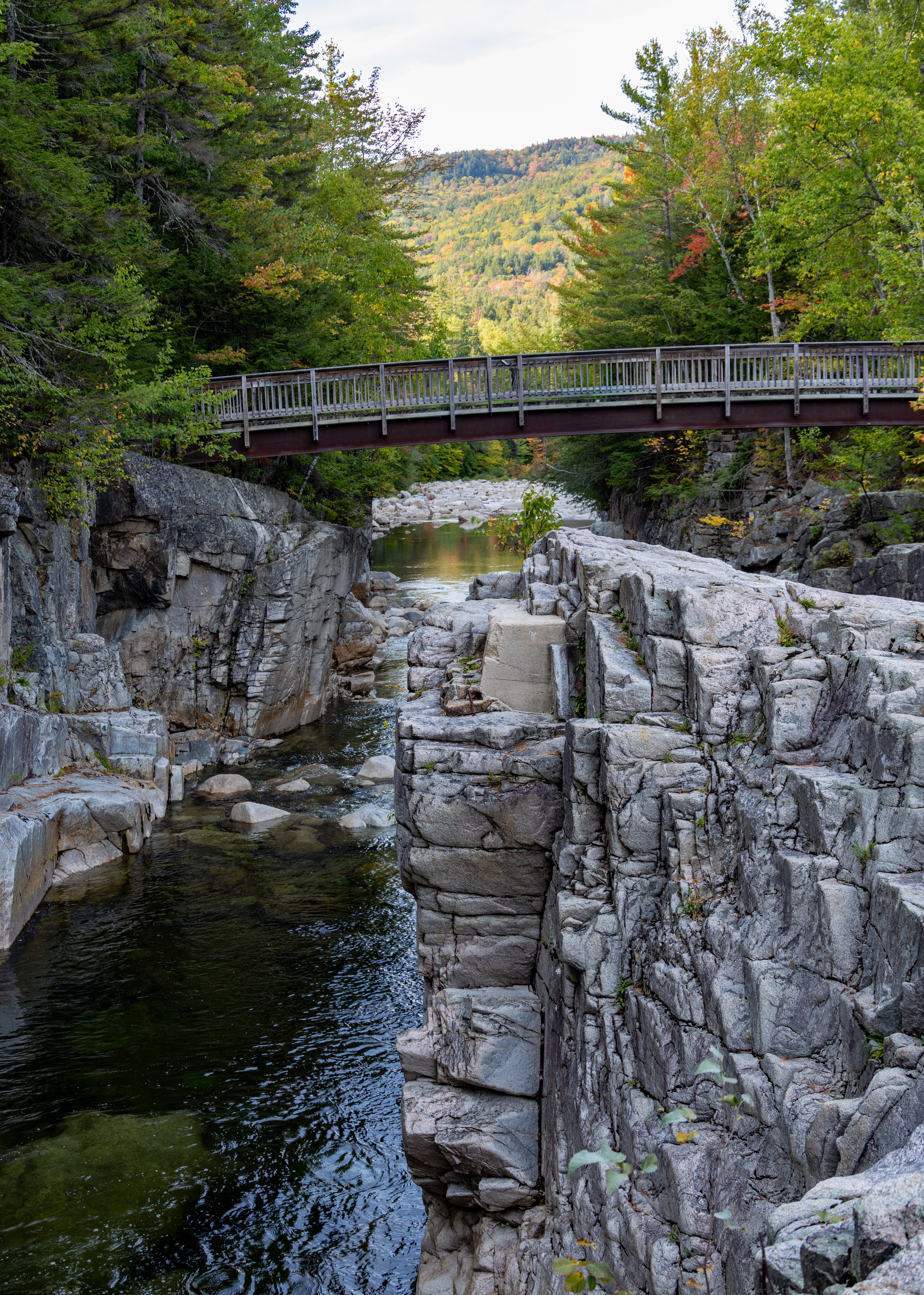
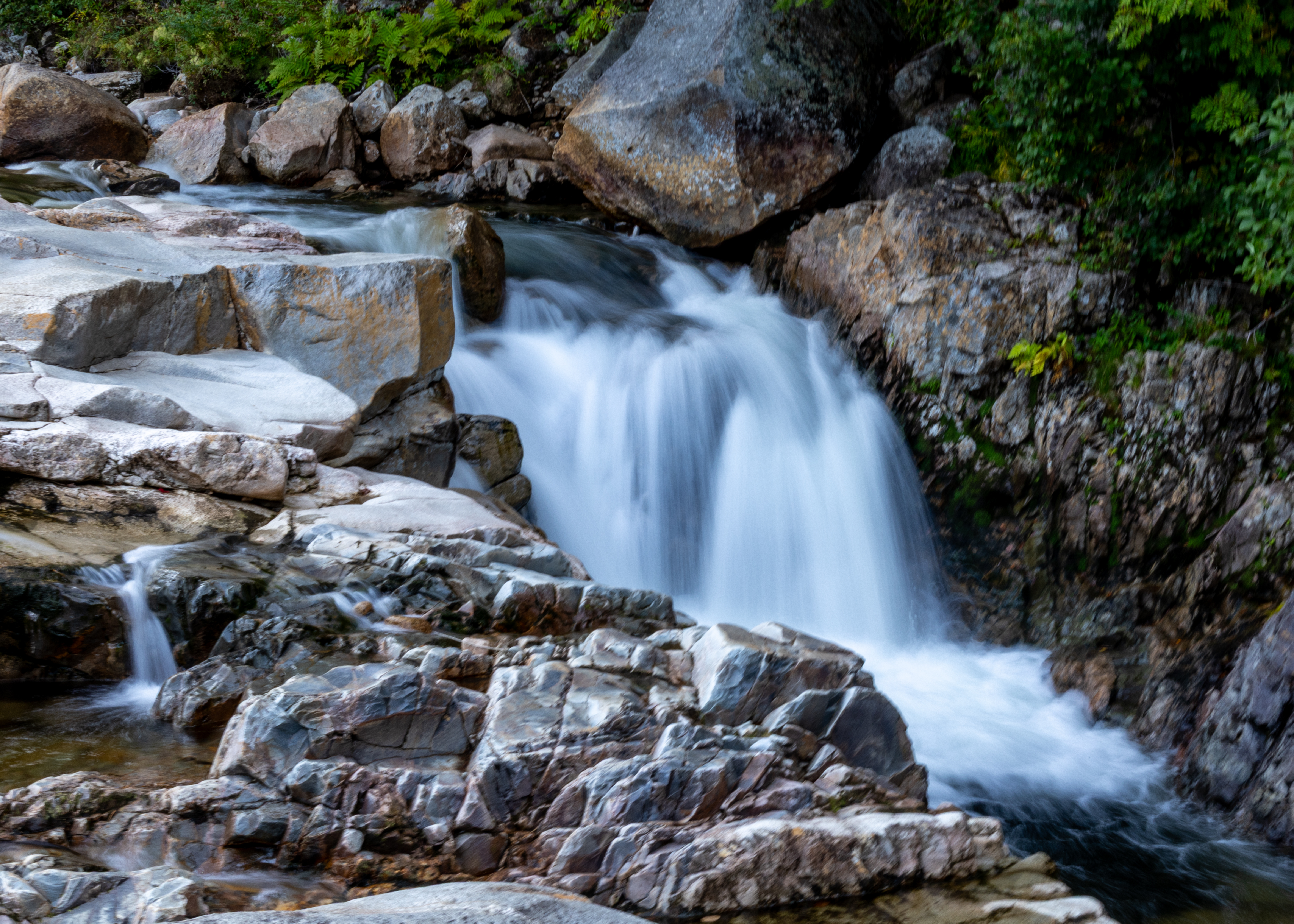
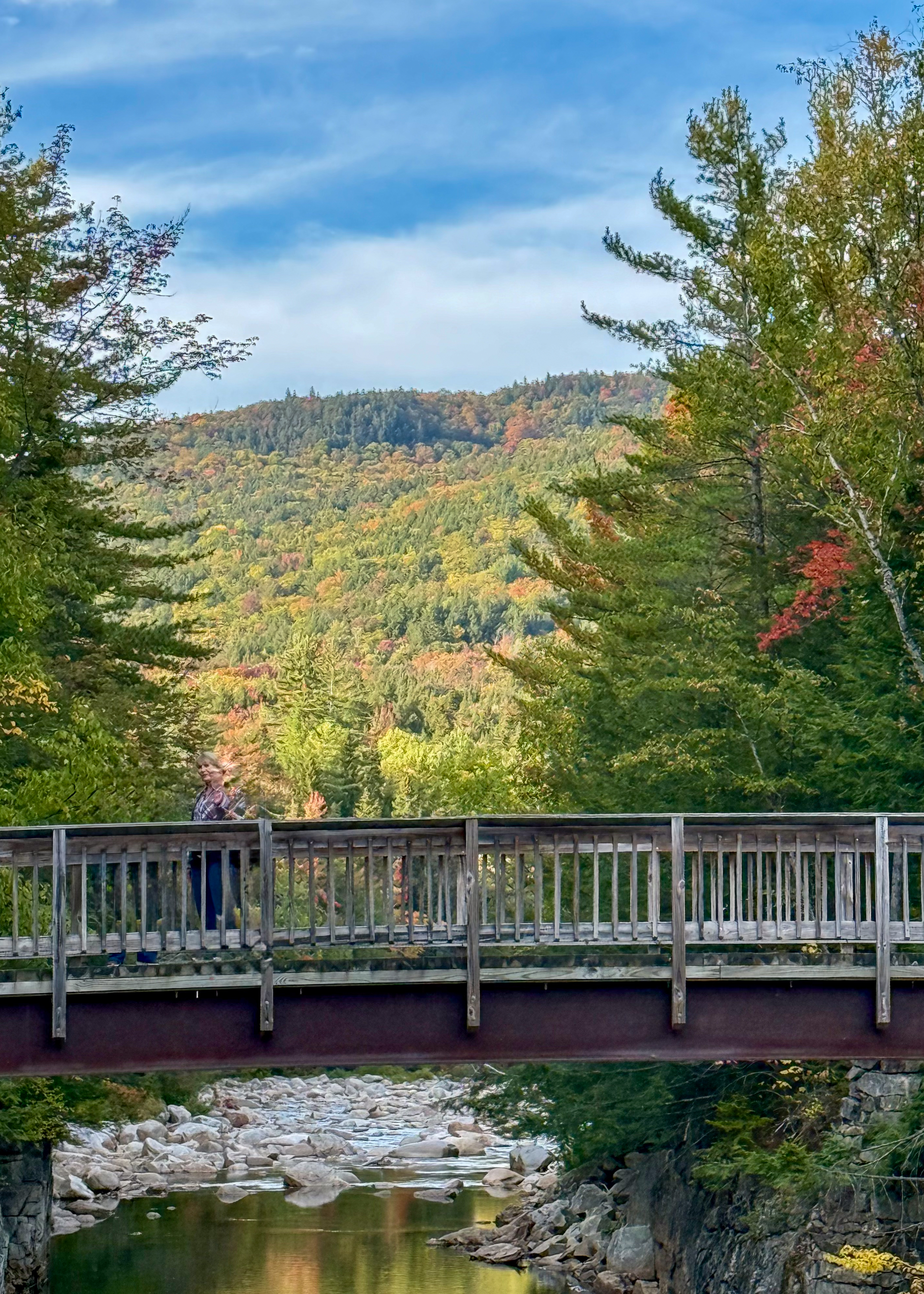
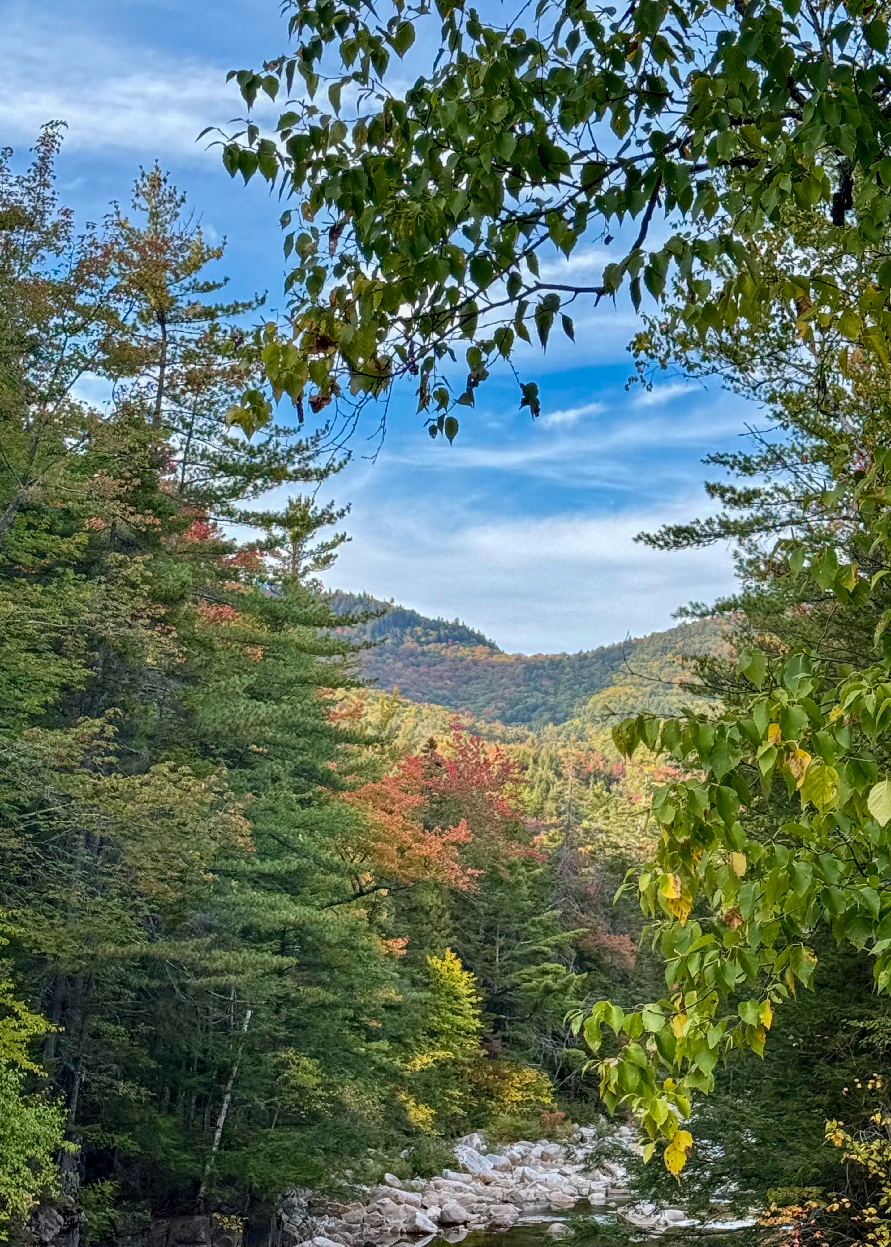
Continuing along the highway was at Rocky Gorge. Rocky Gorge is a powerful narrow gorge that was carved by glaciers and offers a 10′ drop and rapids throughout. There is a foot bridge over the gorge which provides an excellent photo opportunity looking upstream to where the Swift River cascades into the gorge. The foot path on the other side of the bridge gradually ascends a small rise to Falls Pond. 

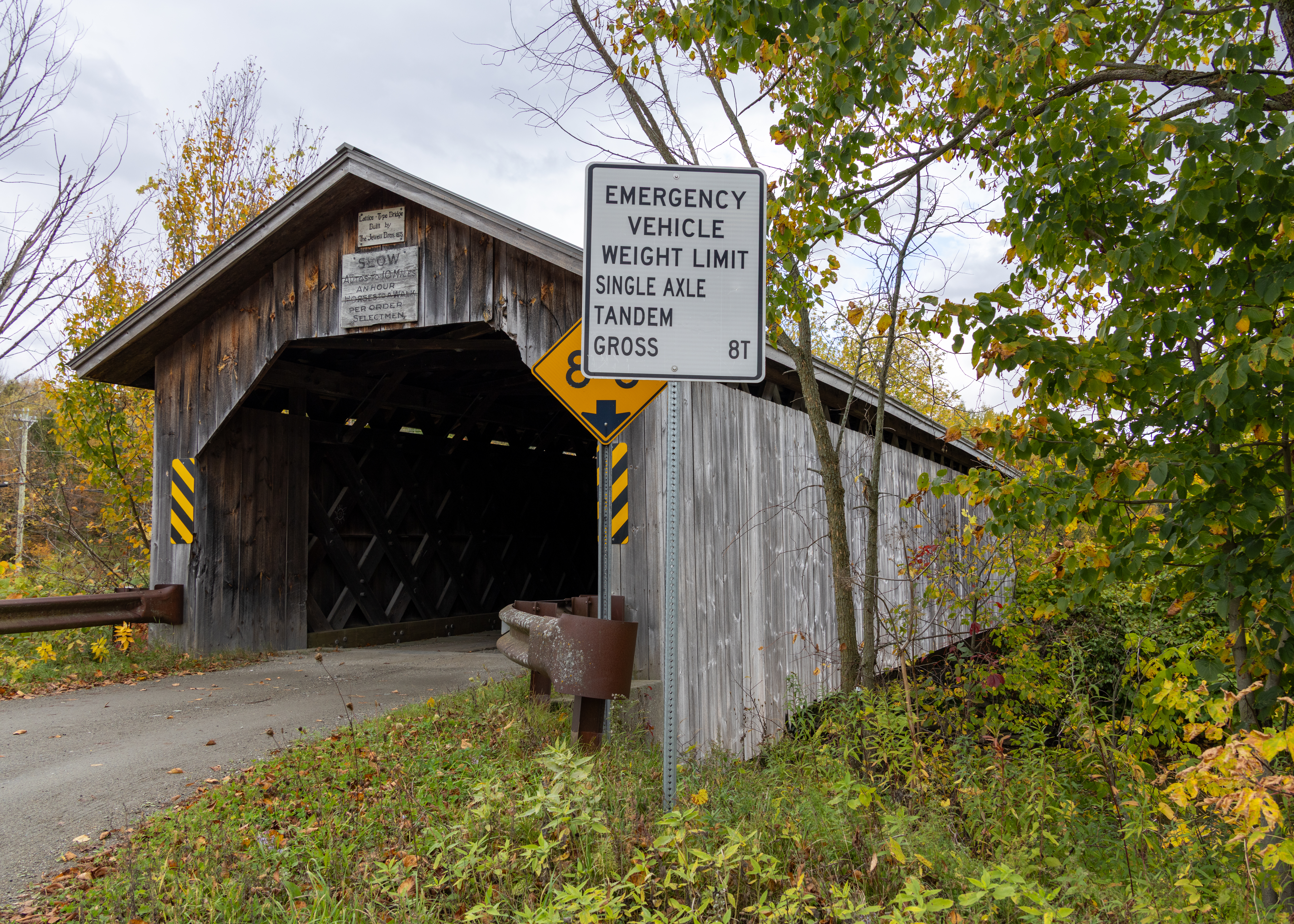
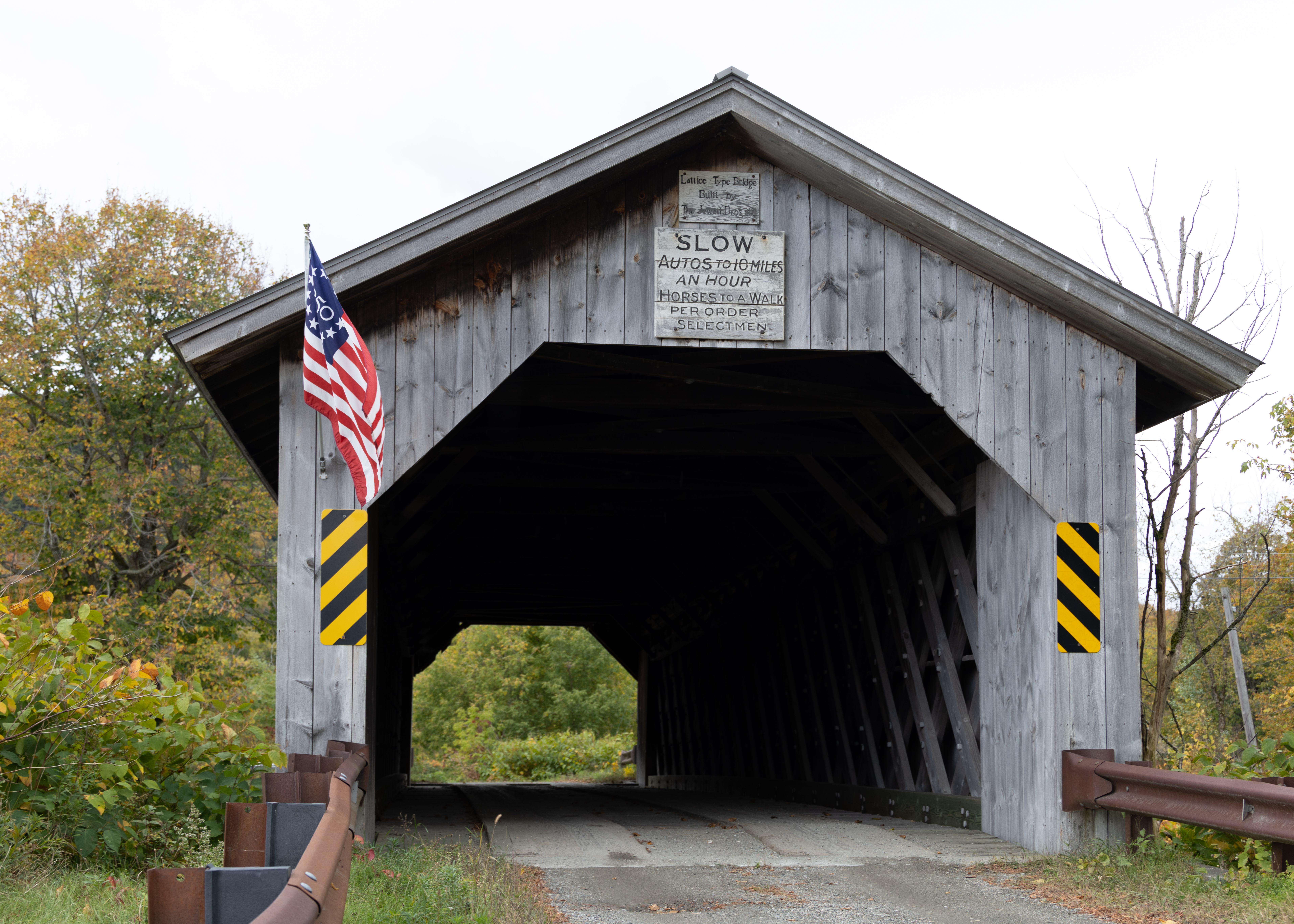
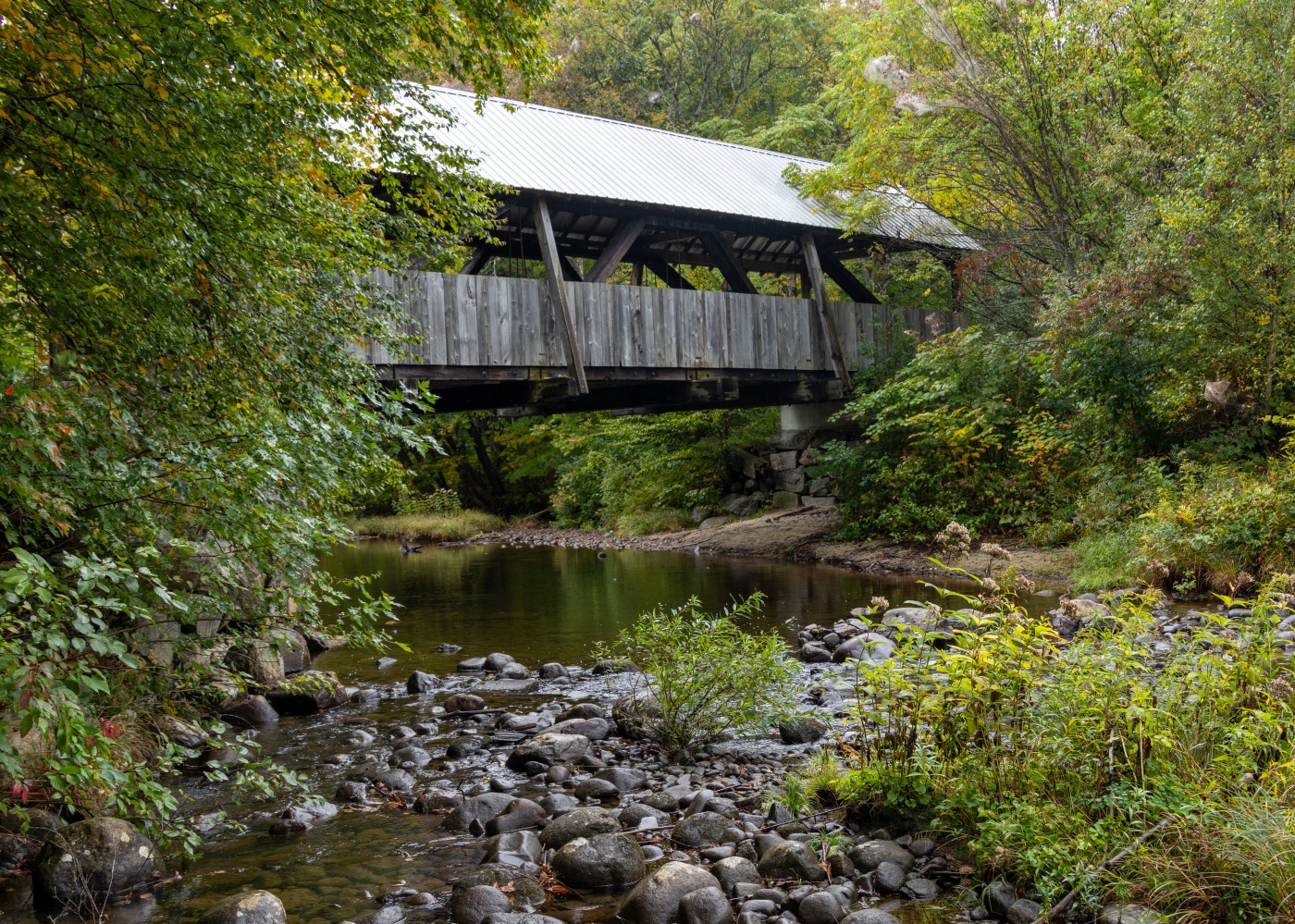
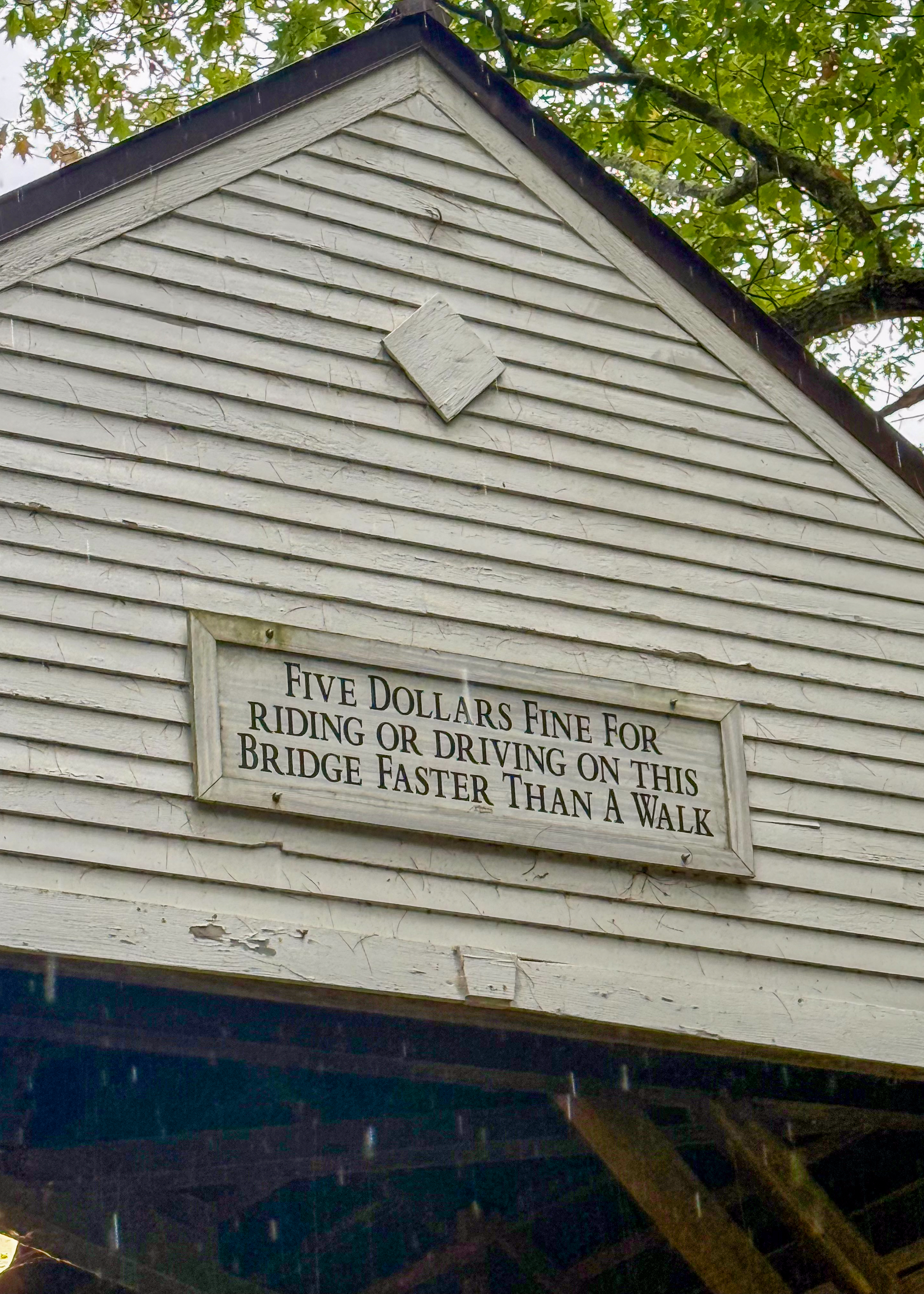
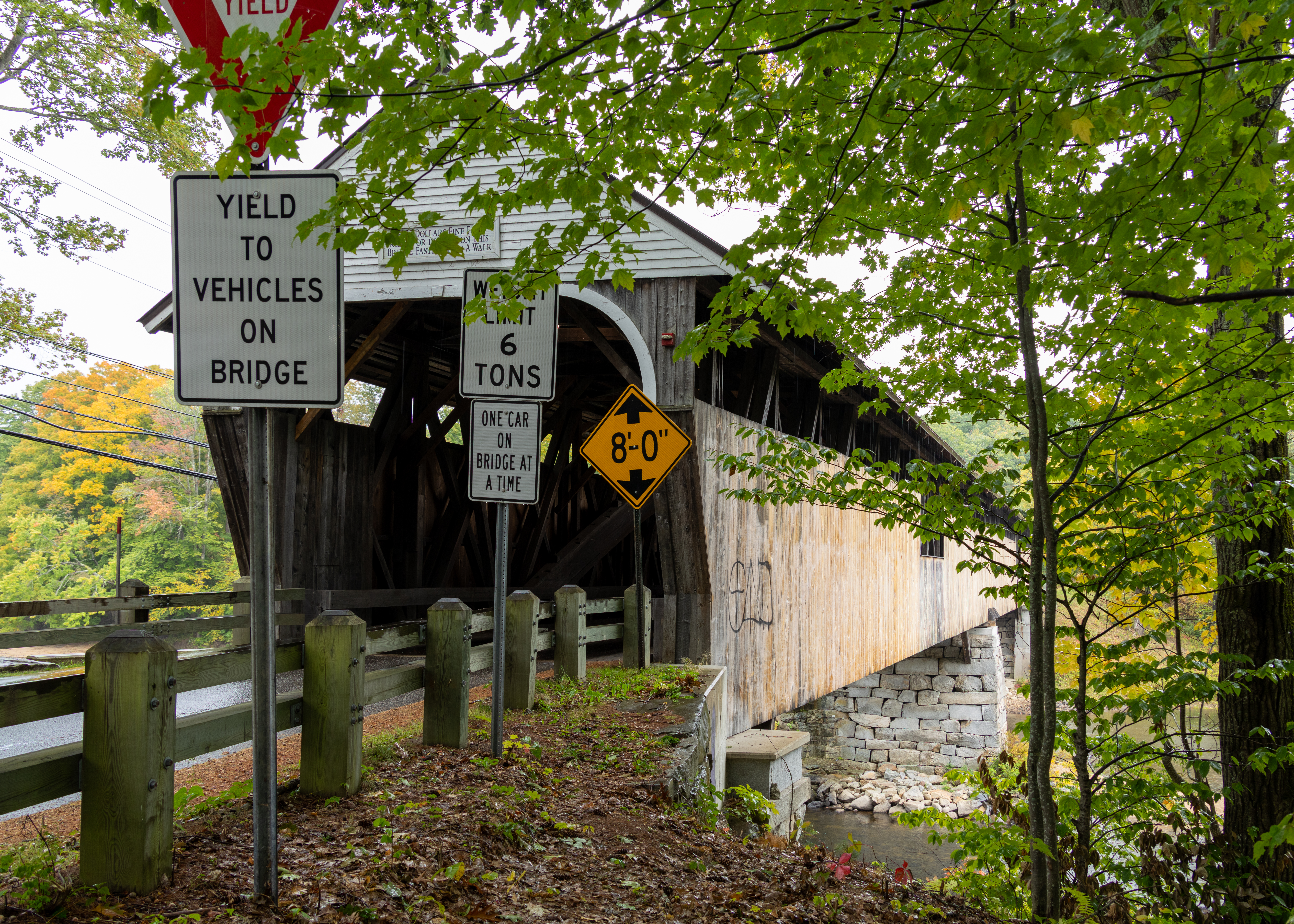
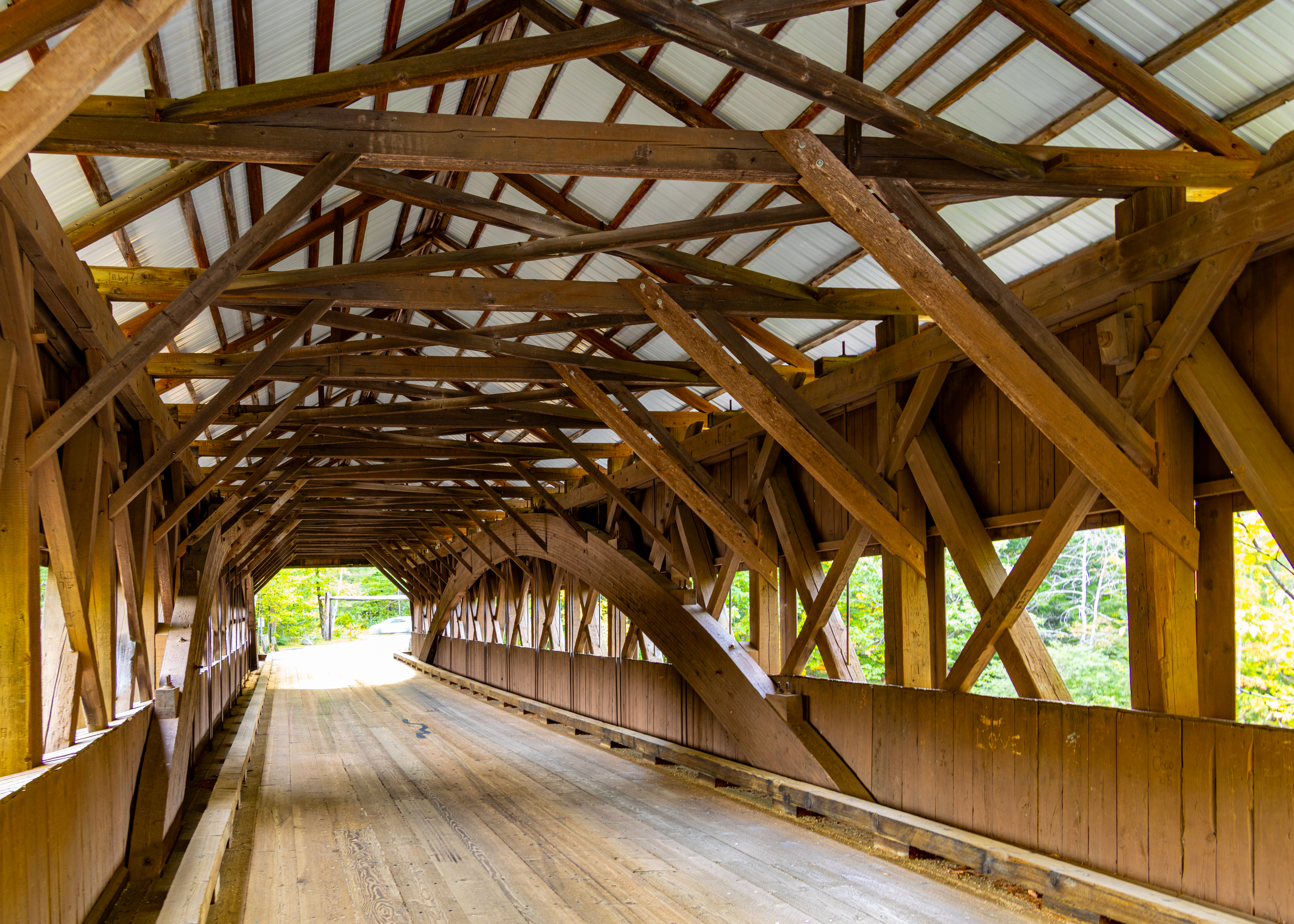
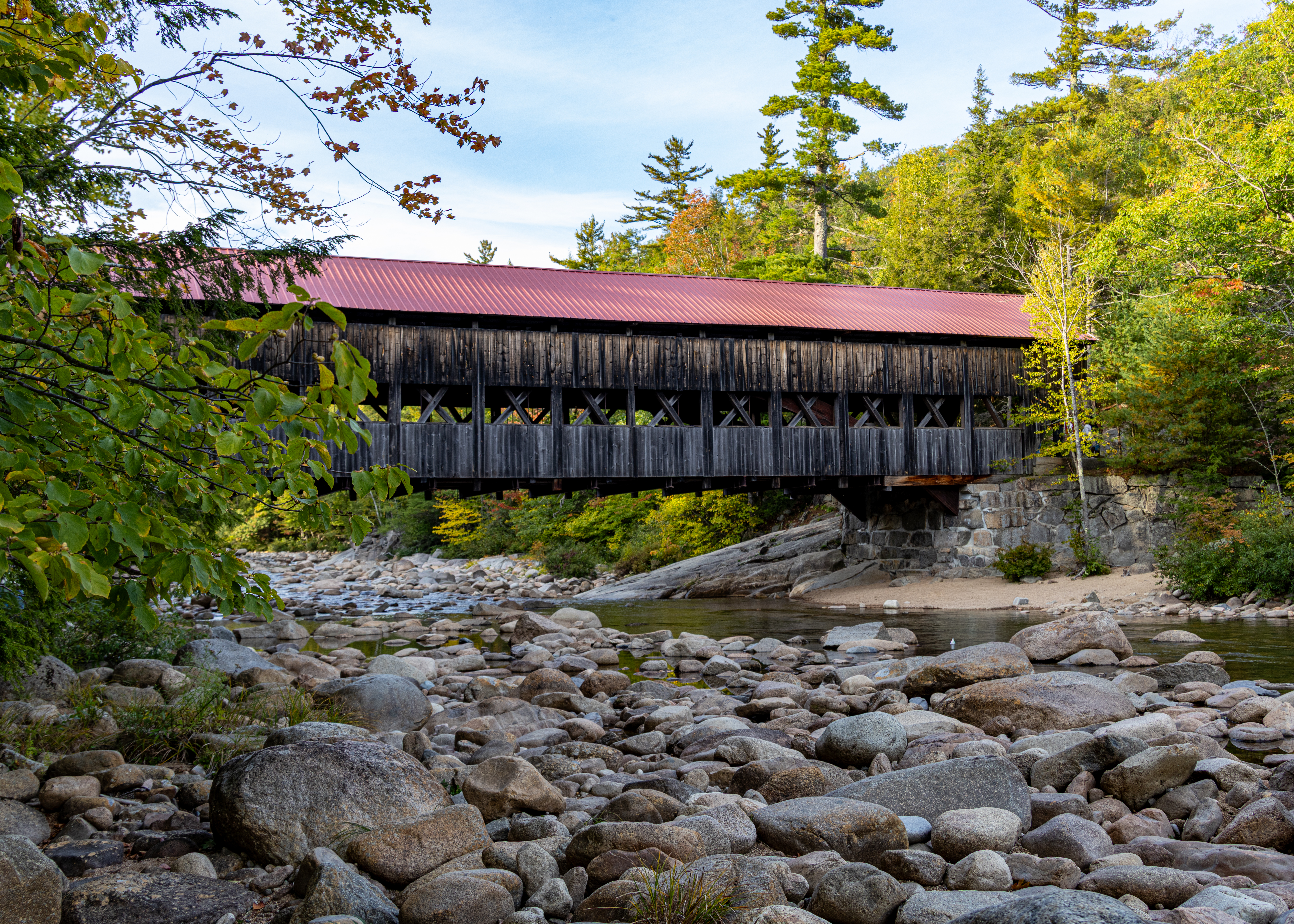
Our last stop along the highway was Albany Covered Bridge. Built in 1851, the bridge spans the Swift River. The bridge is 120 feet long and has a six-ton load limit. The construction is a Paddleford truss with added arches.

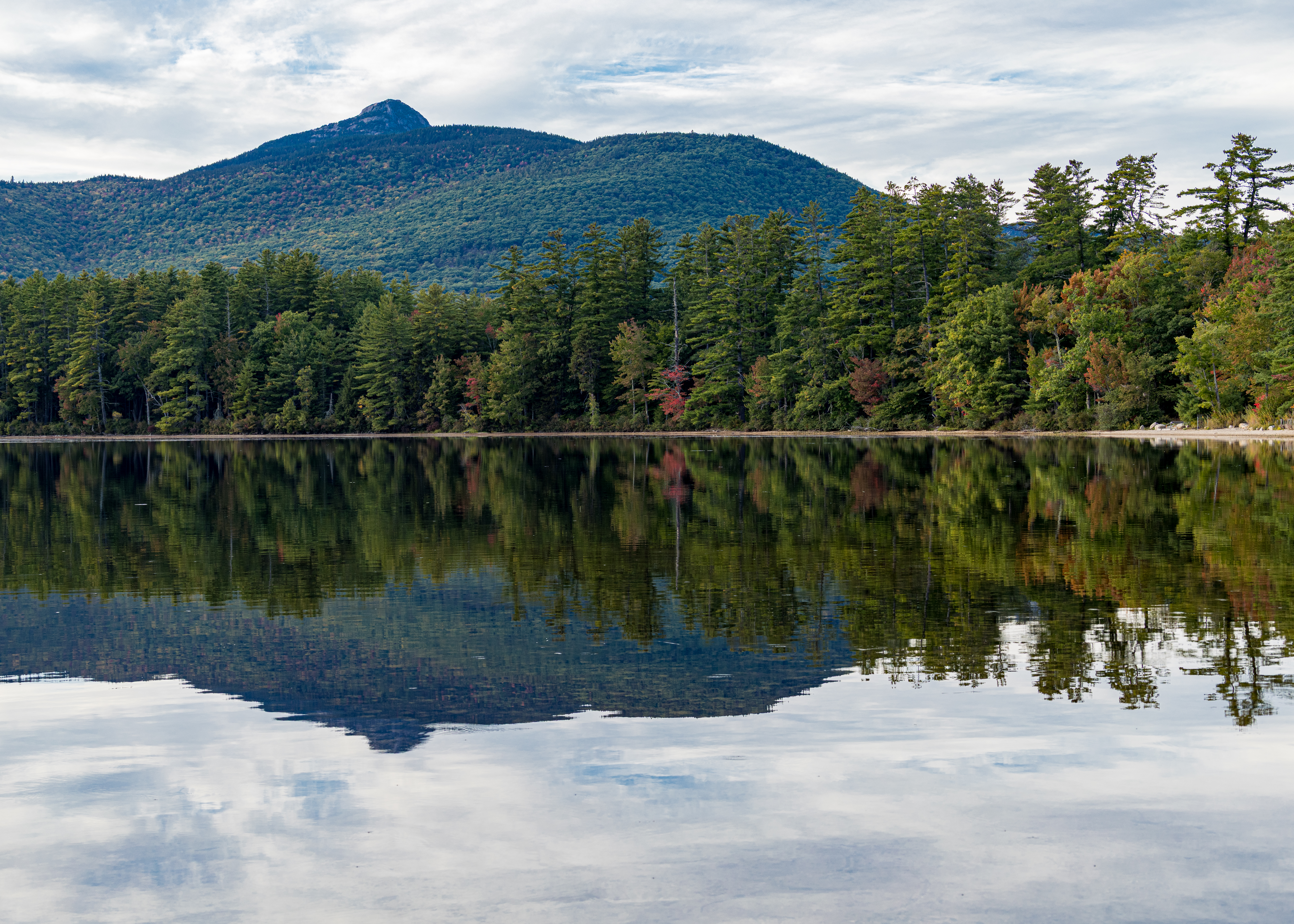
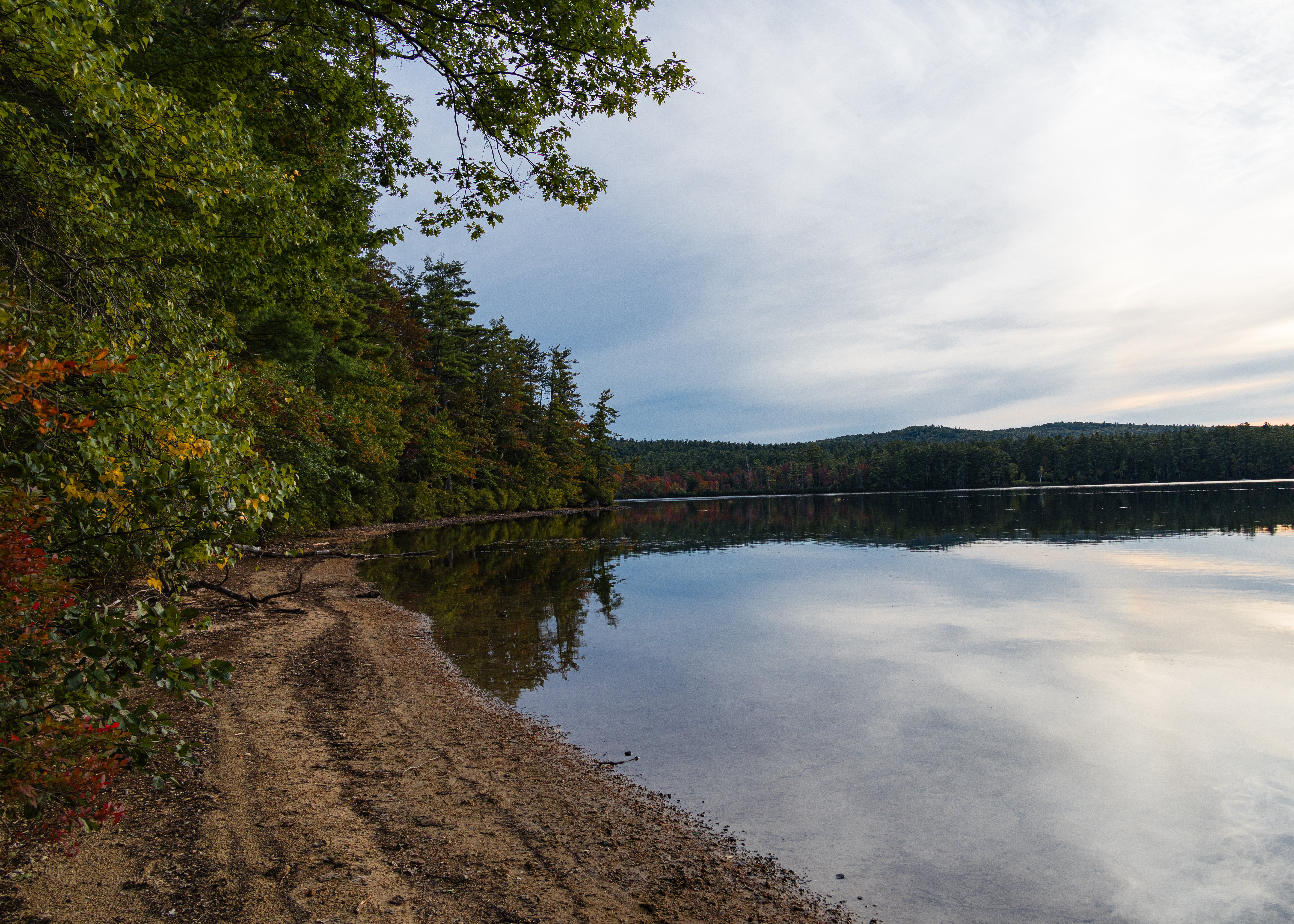
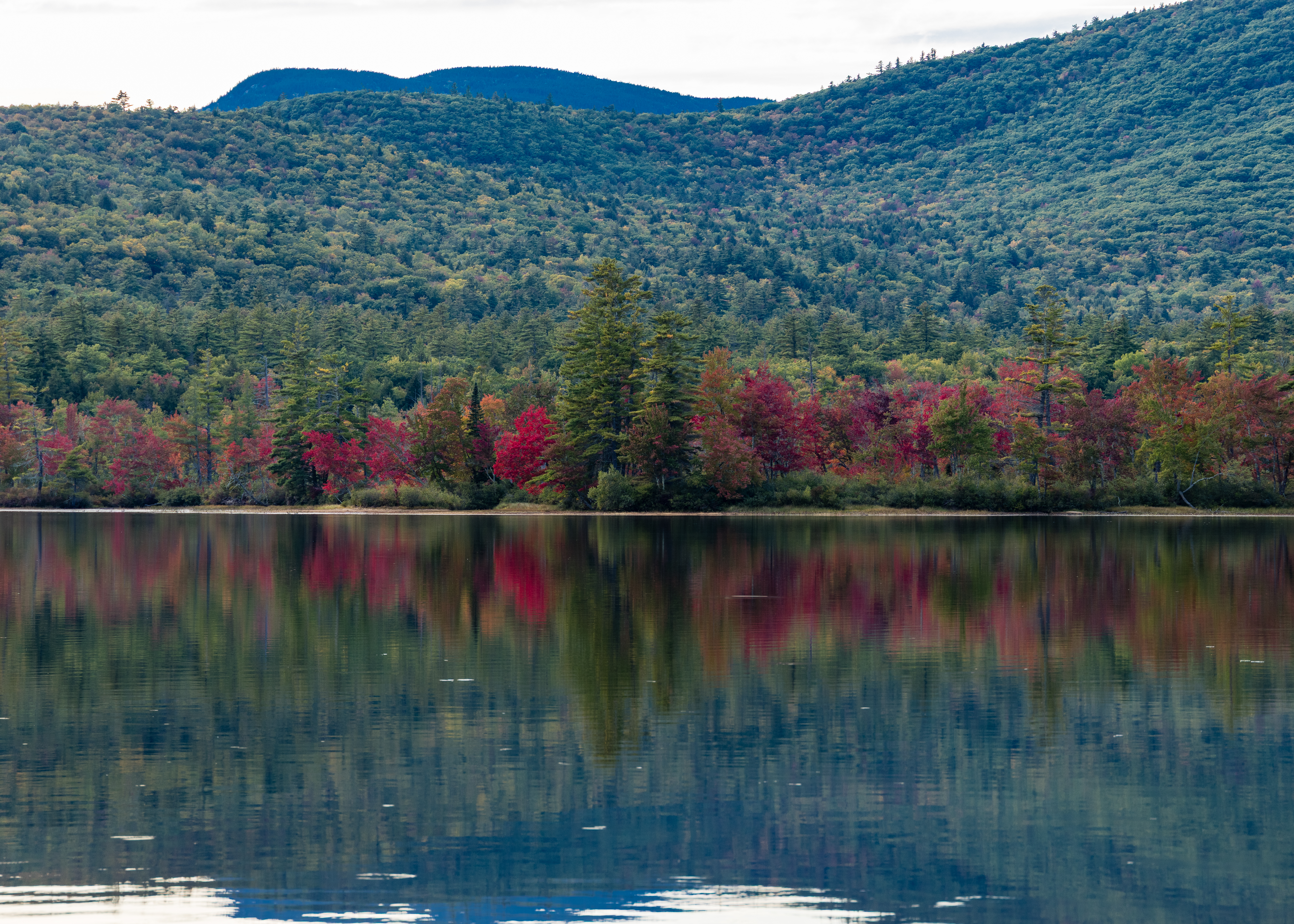
Our final stop on our way home was at Chocoura Lake, a scenic, forest ringed natural lake located in Tamworth, NH, at the southern edge of the White Mountains. Roughly 220 to 233 acres, about 1.1 miles long. Relatively shallow, with an average depth of around 12 feet and a maximum depth of 27 feet. Famous for mirror-like reflections of the iconic, craggy Mount Chocoura.

2026 Fall New England Trip #1 – Lake Winnipesaukee

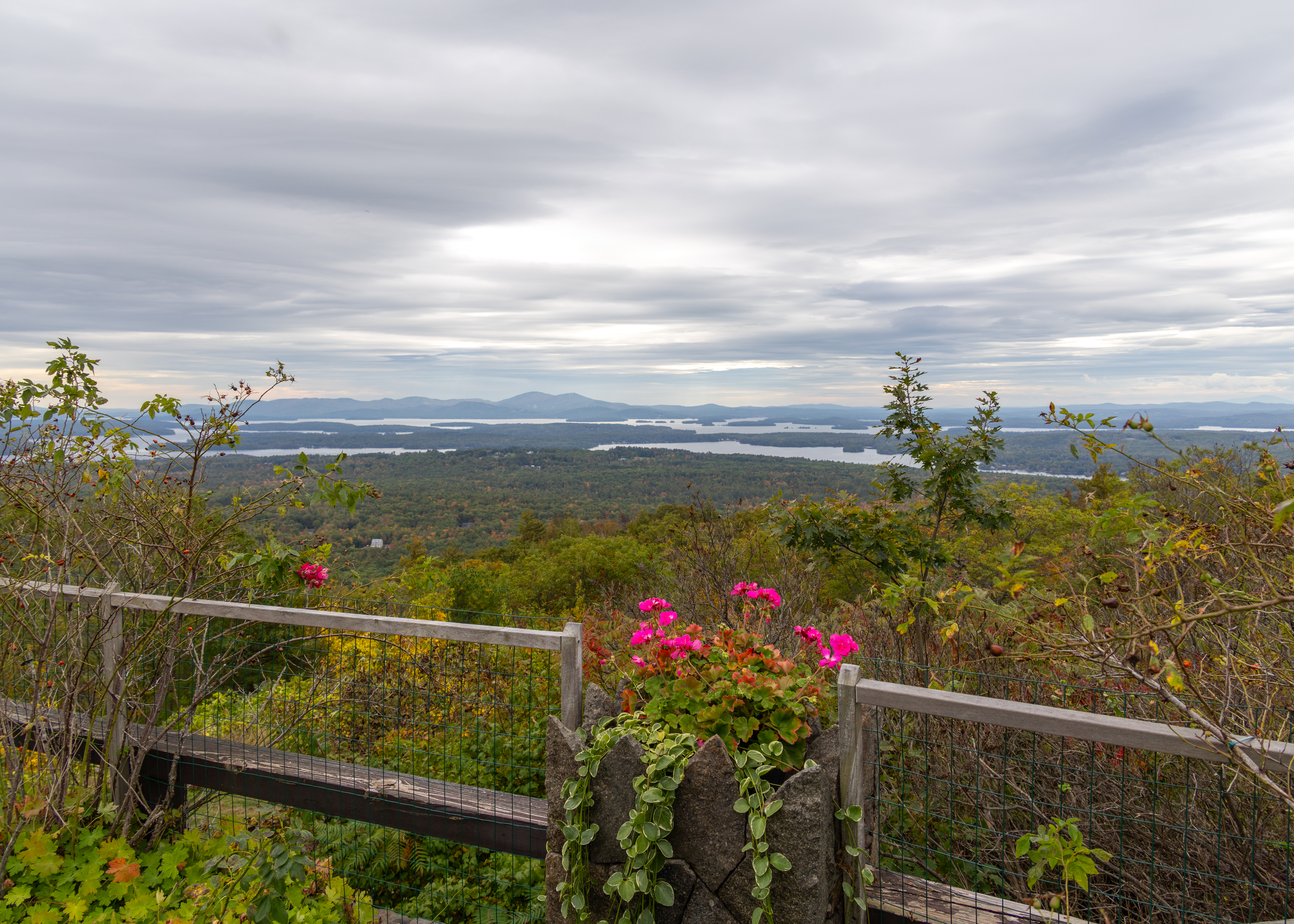
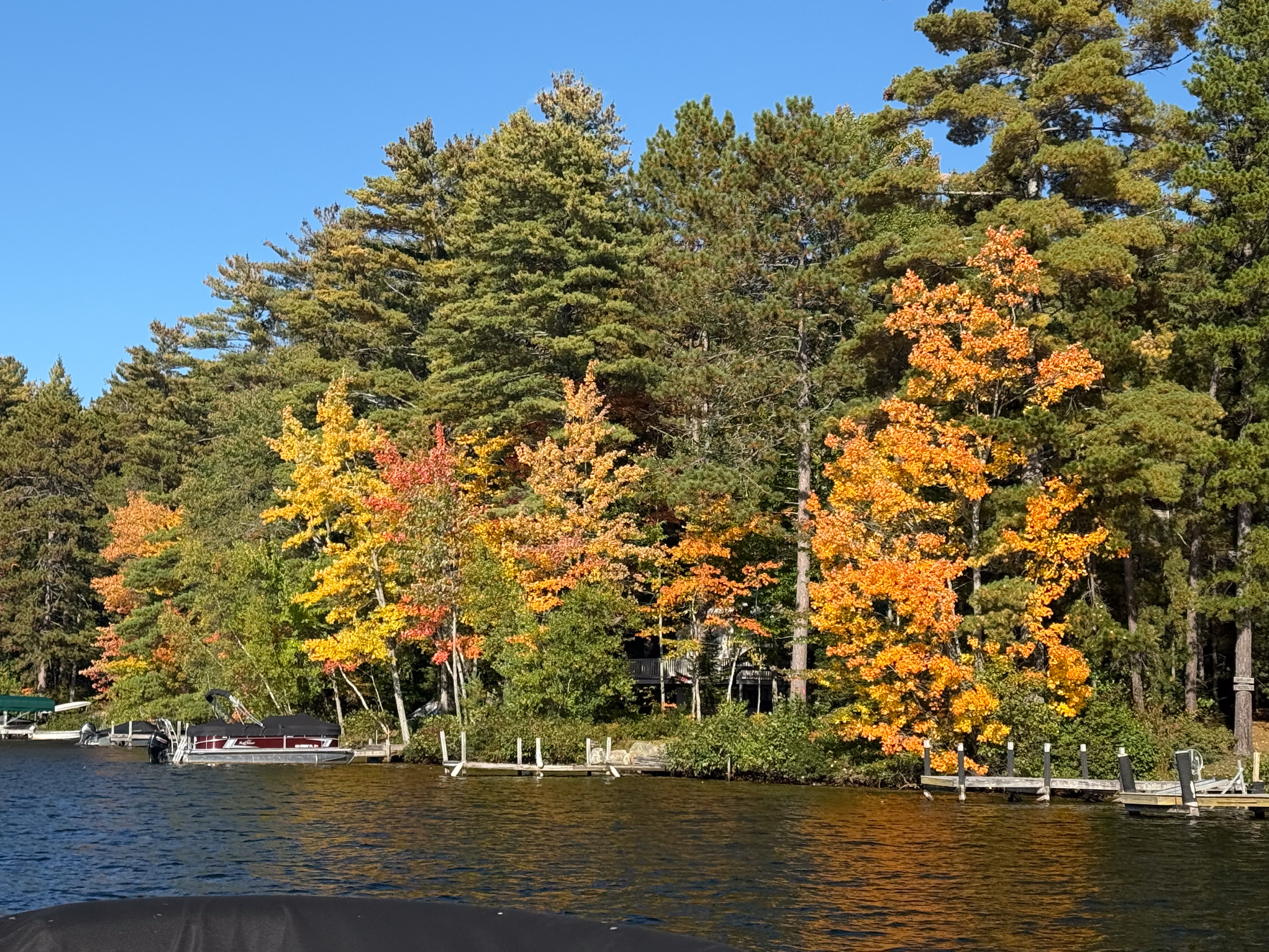
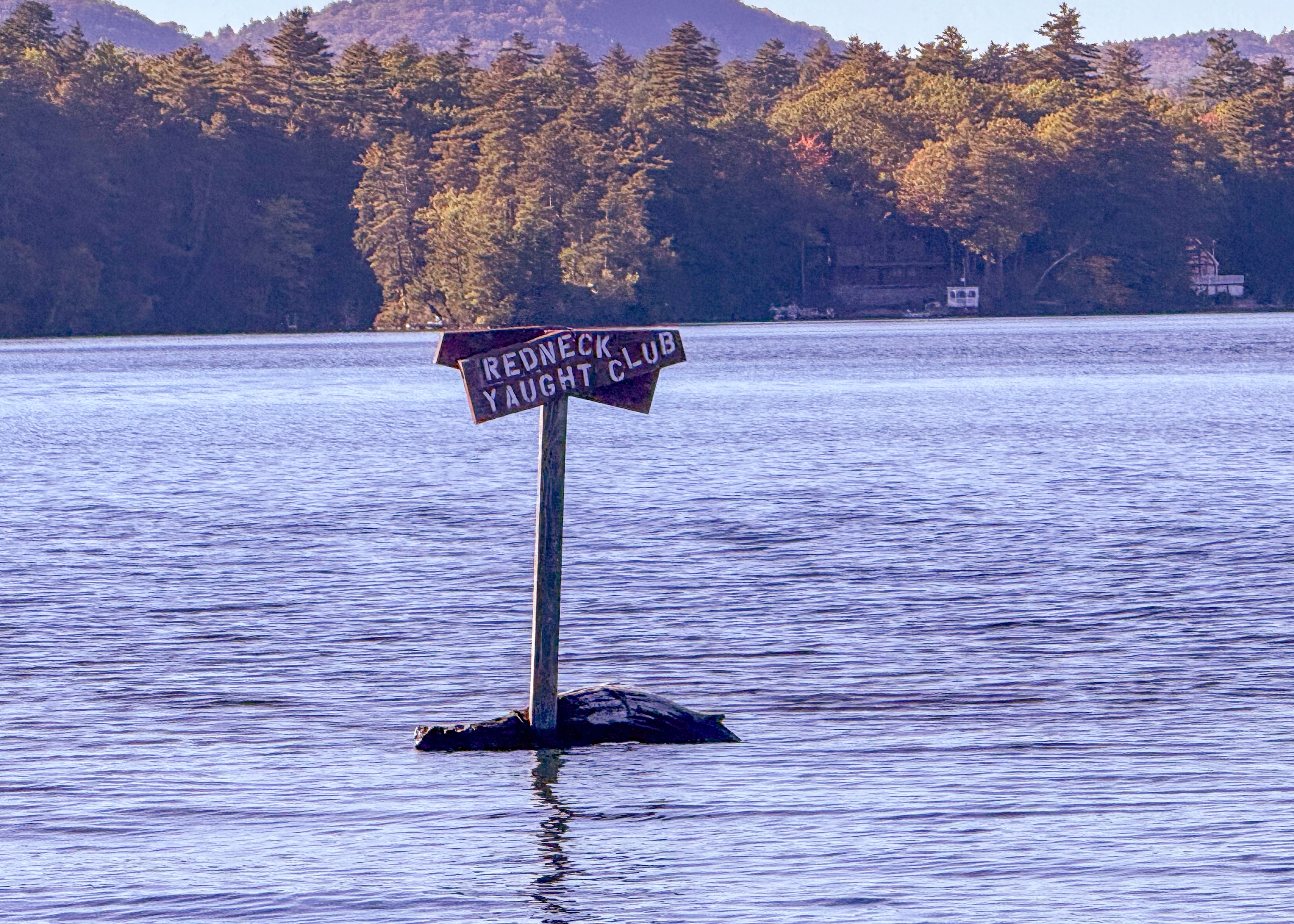
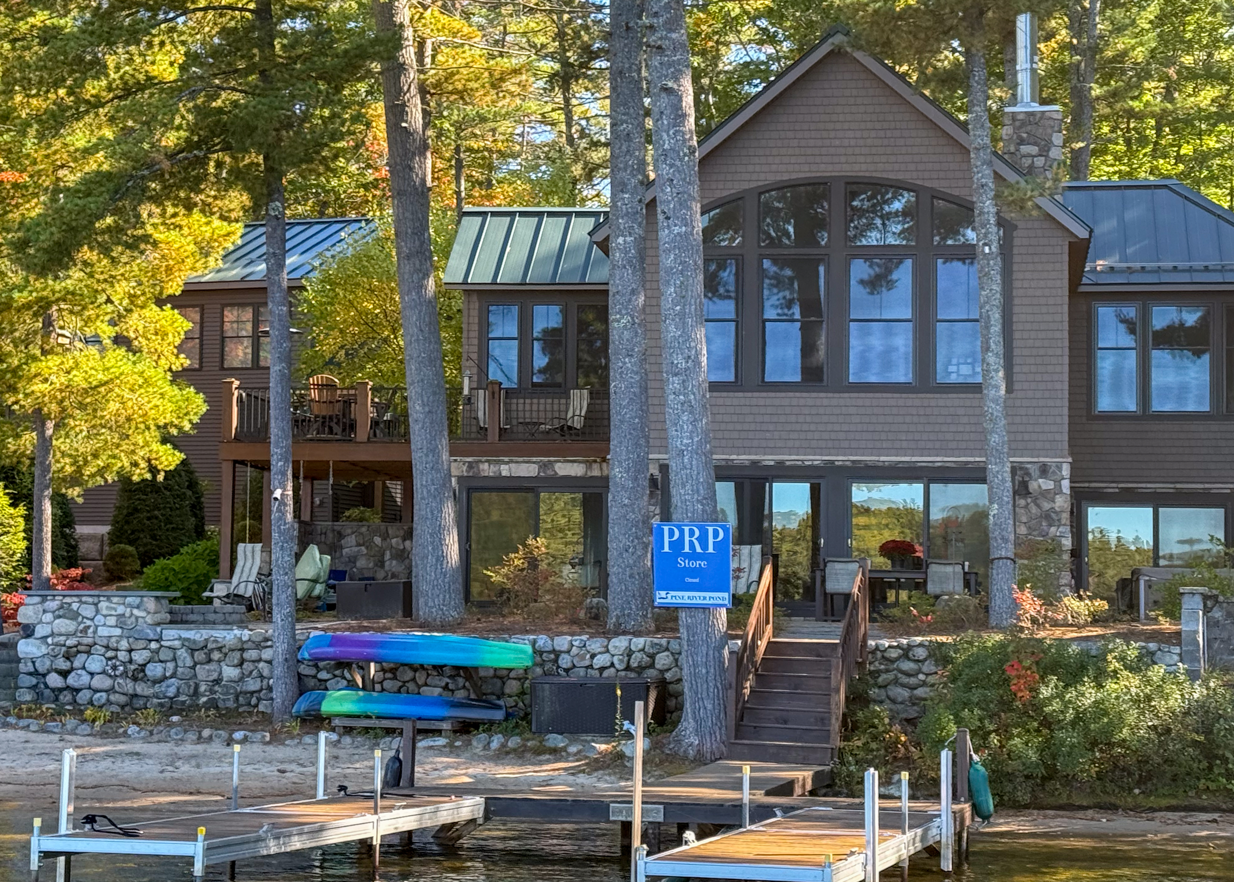
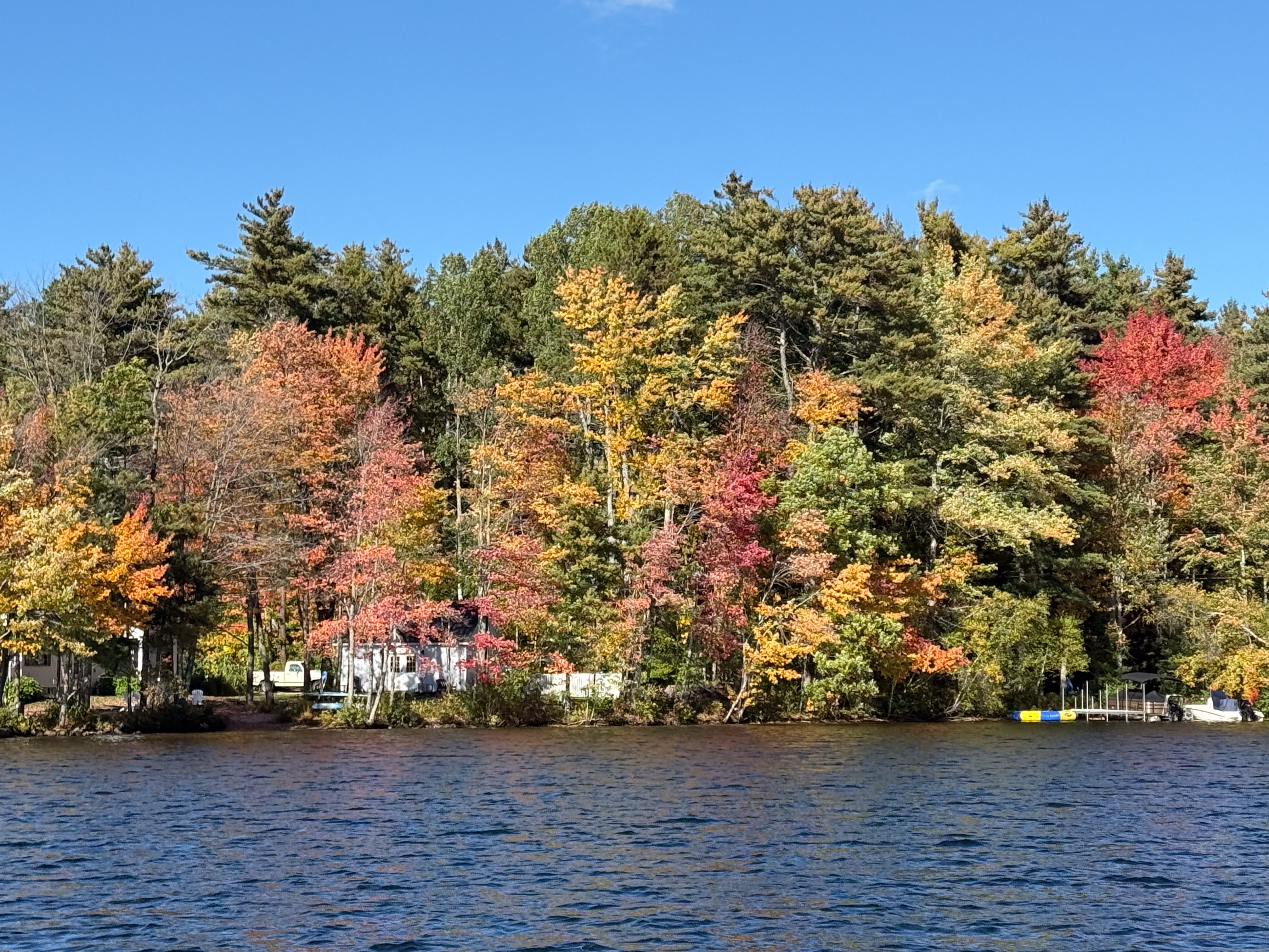
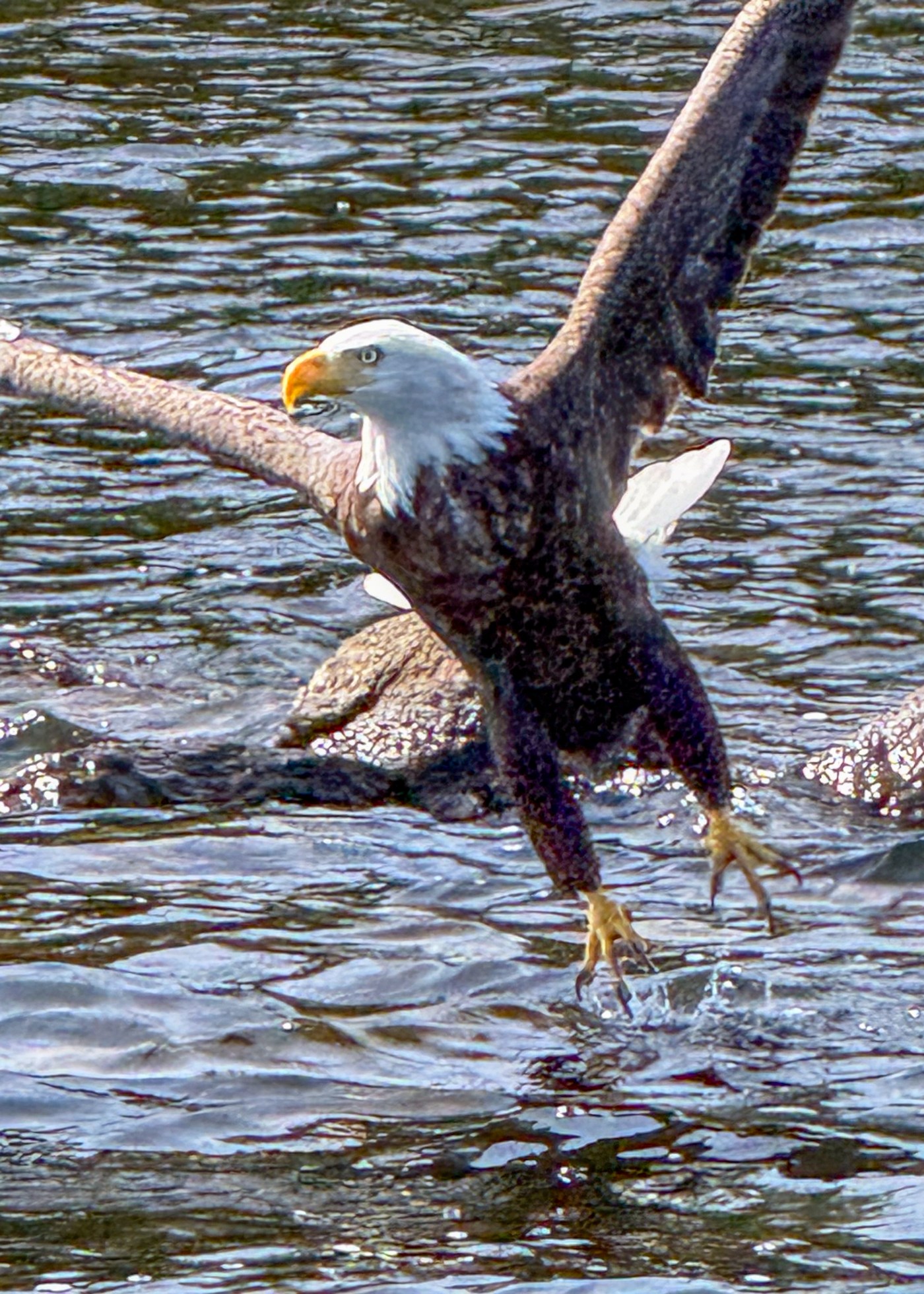
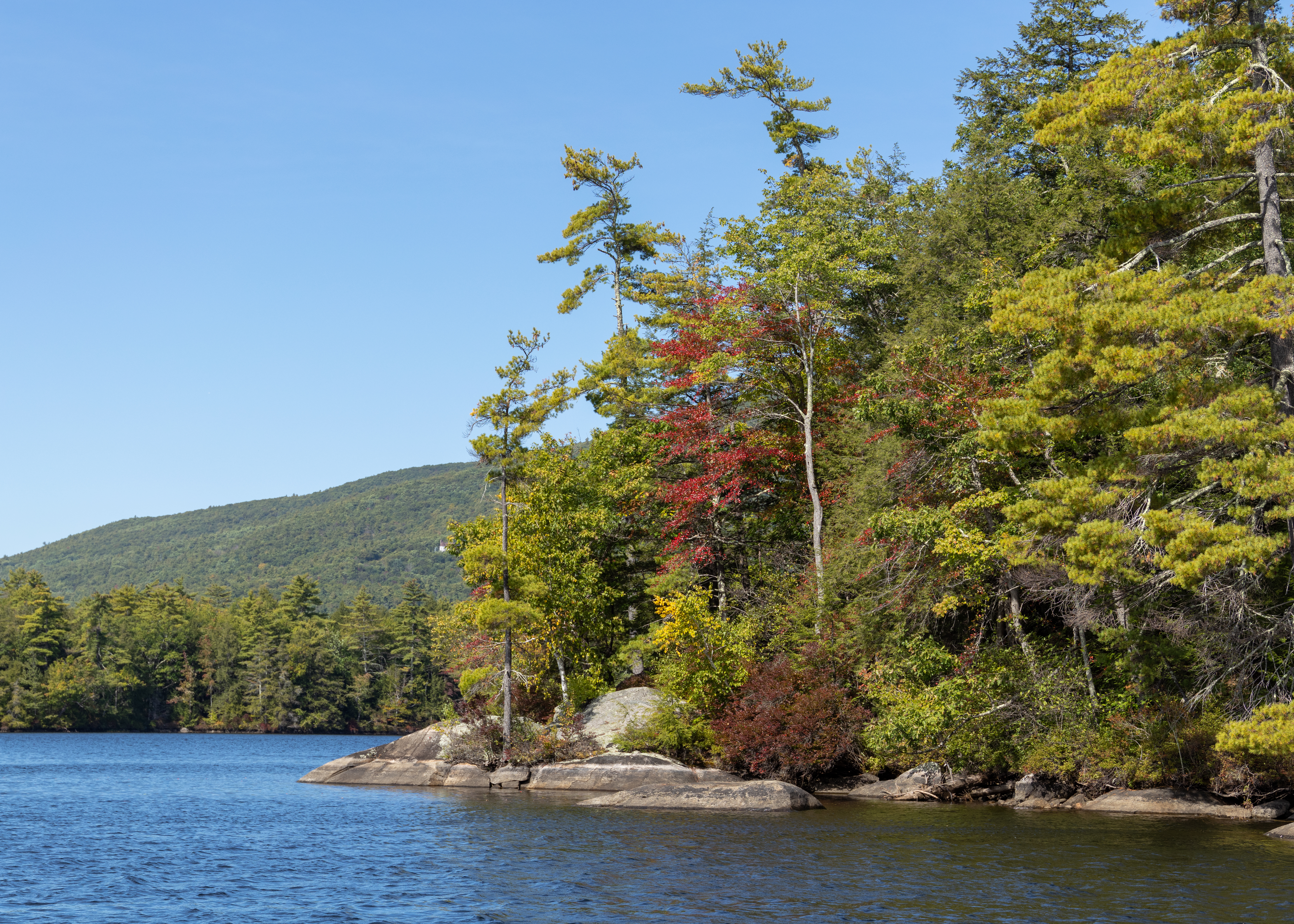
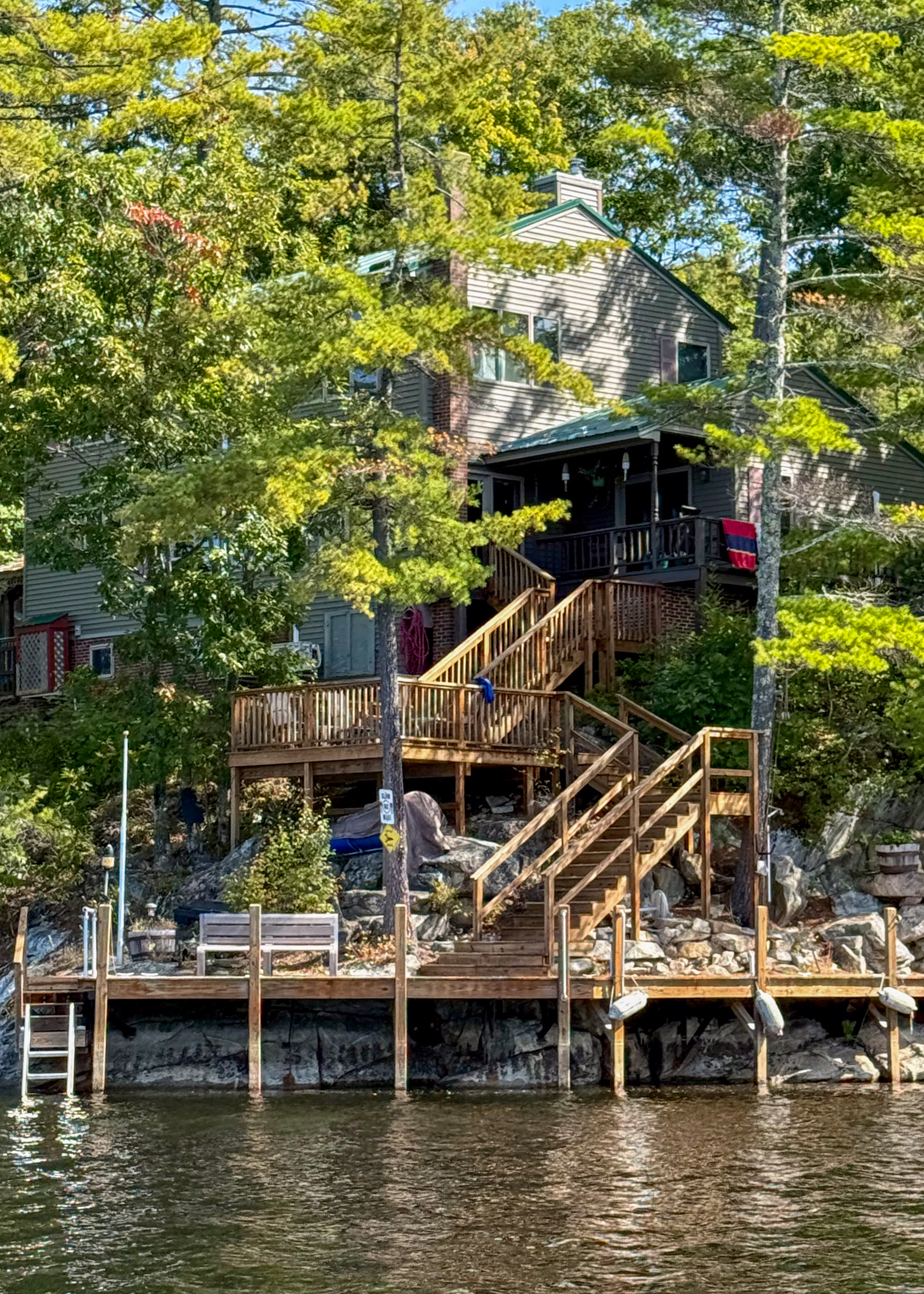
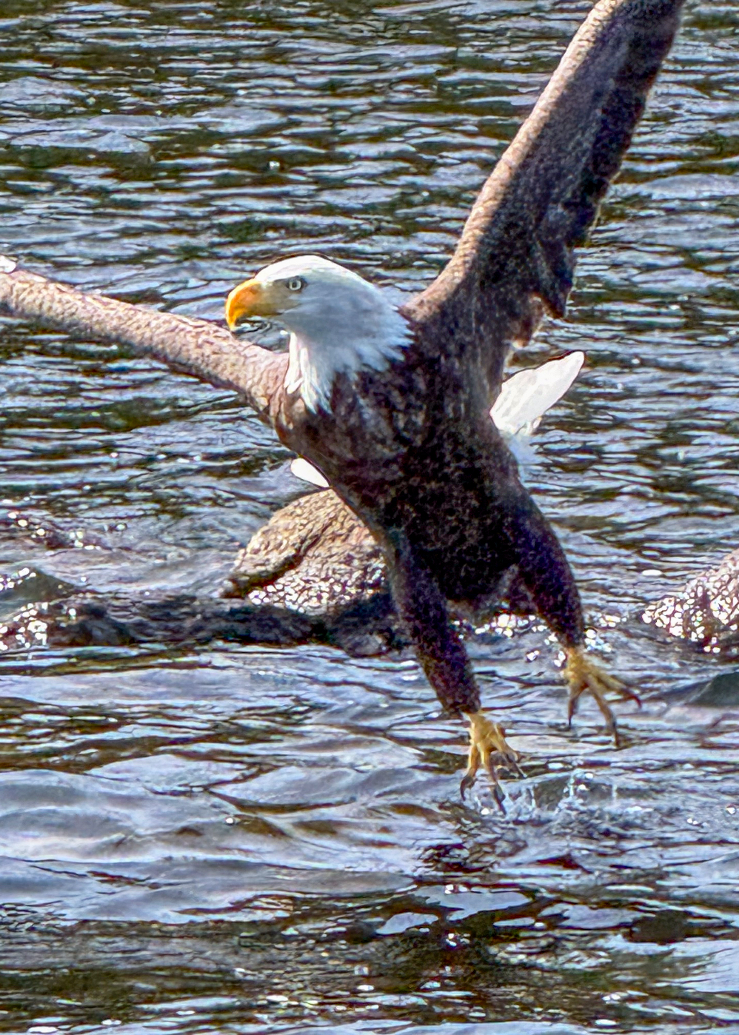
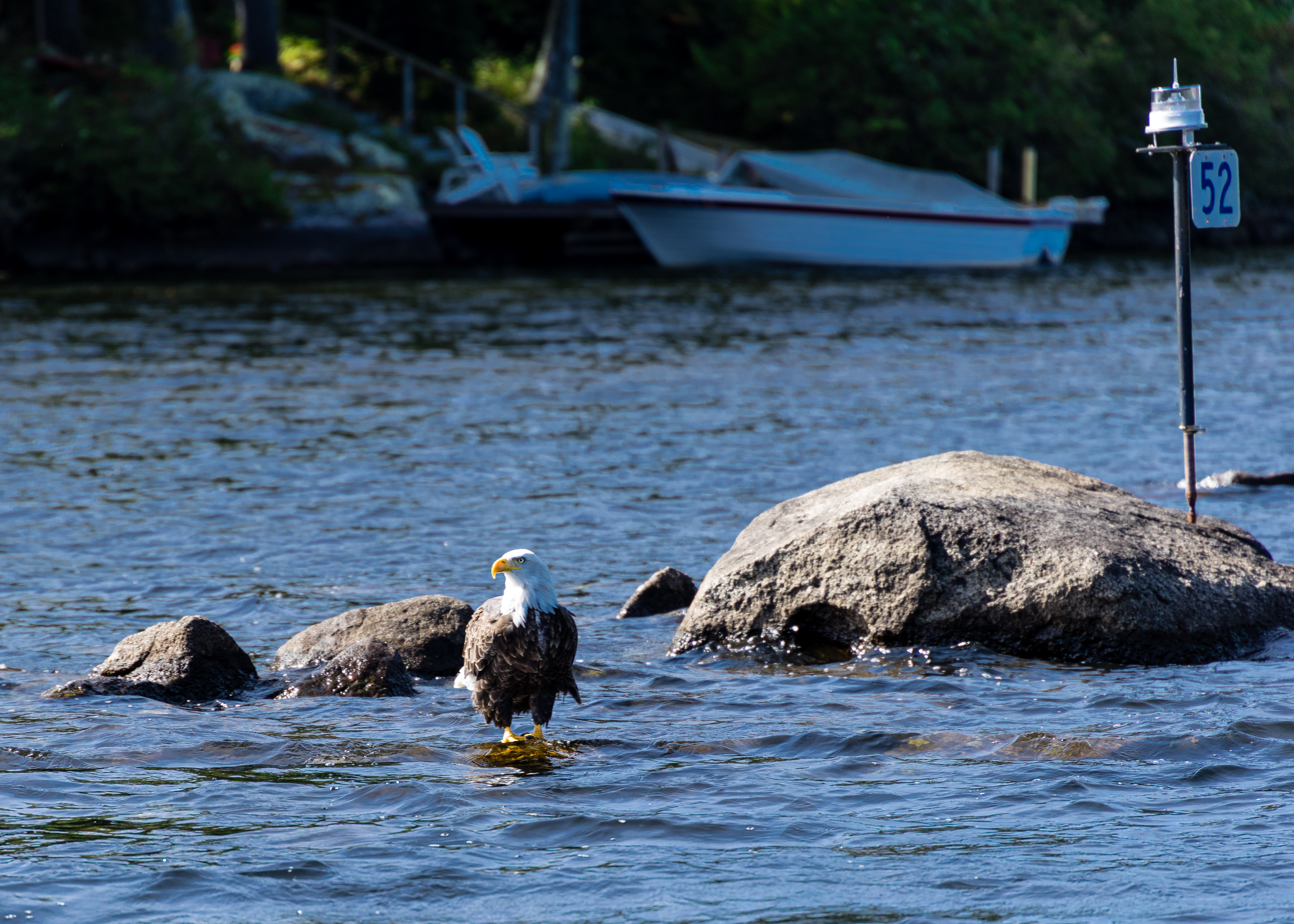
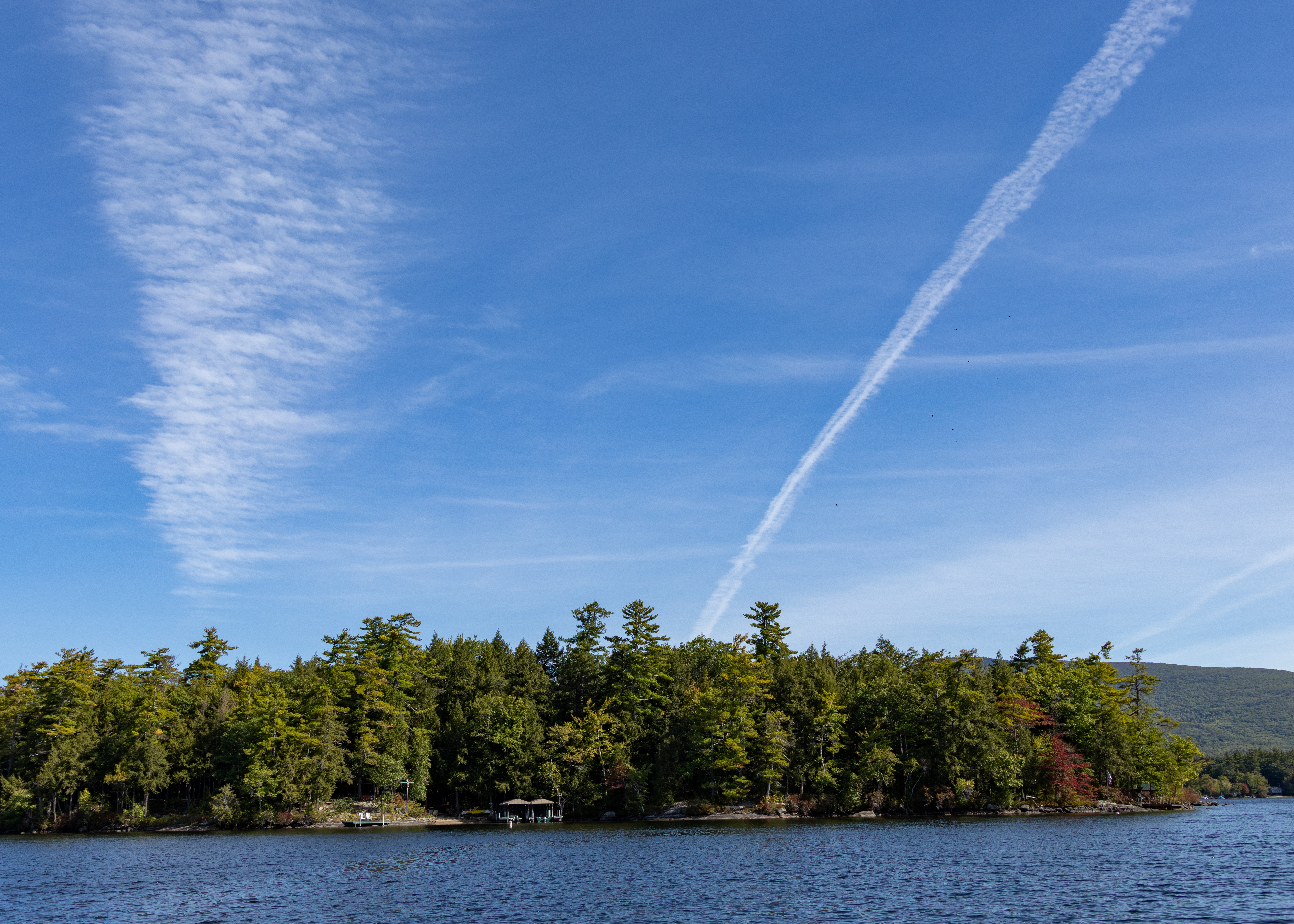
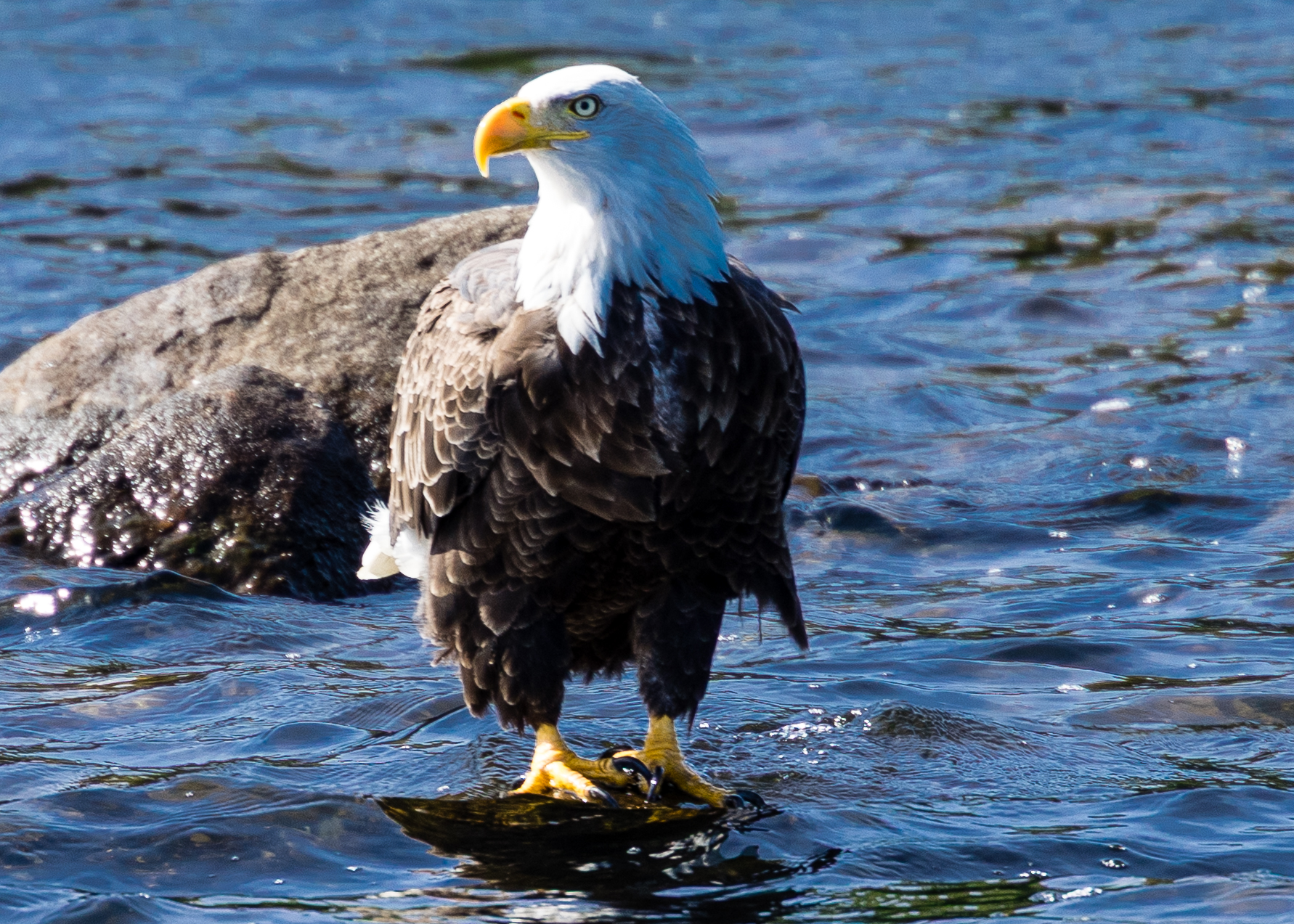
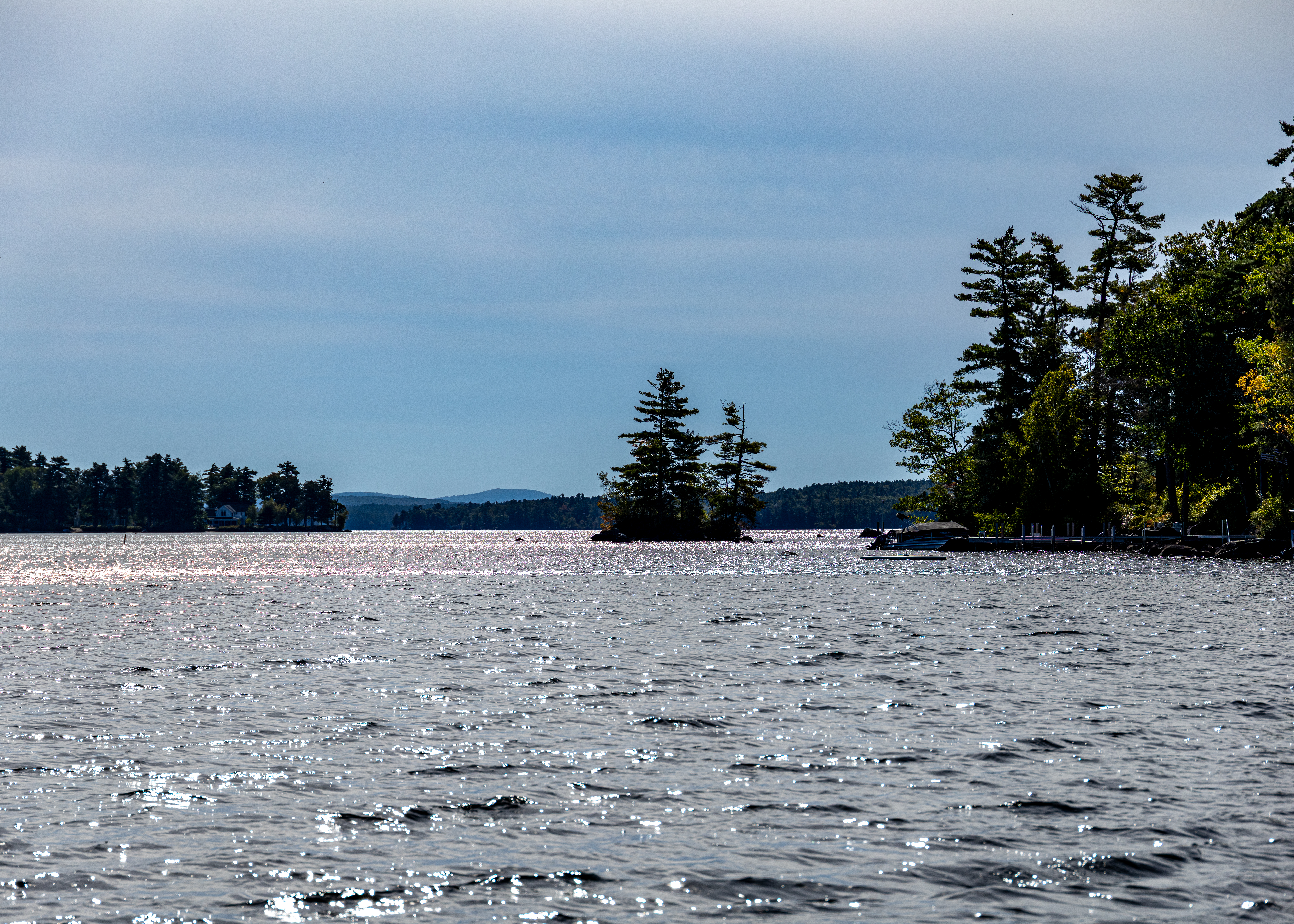
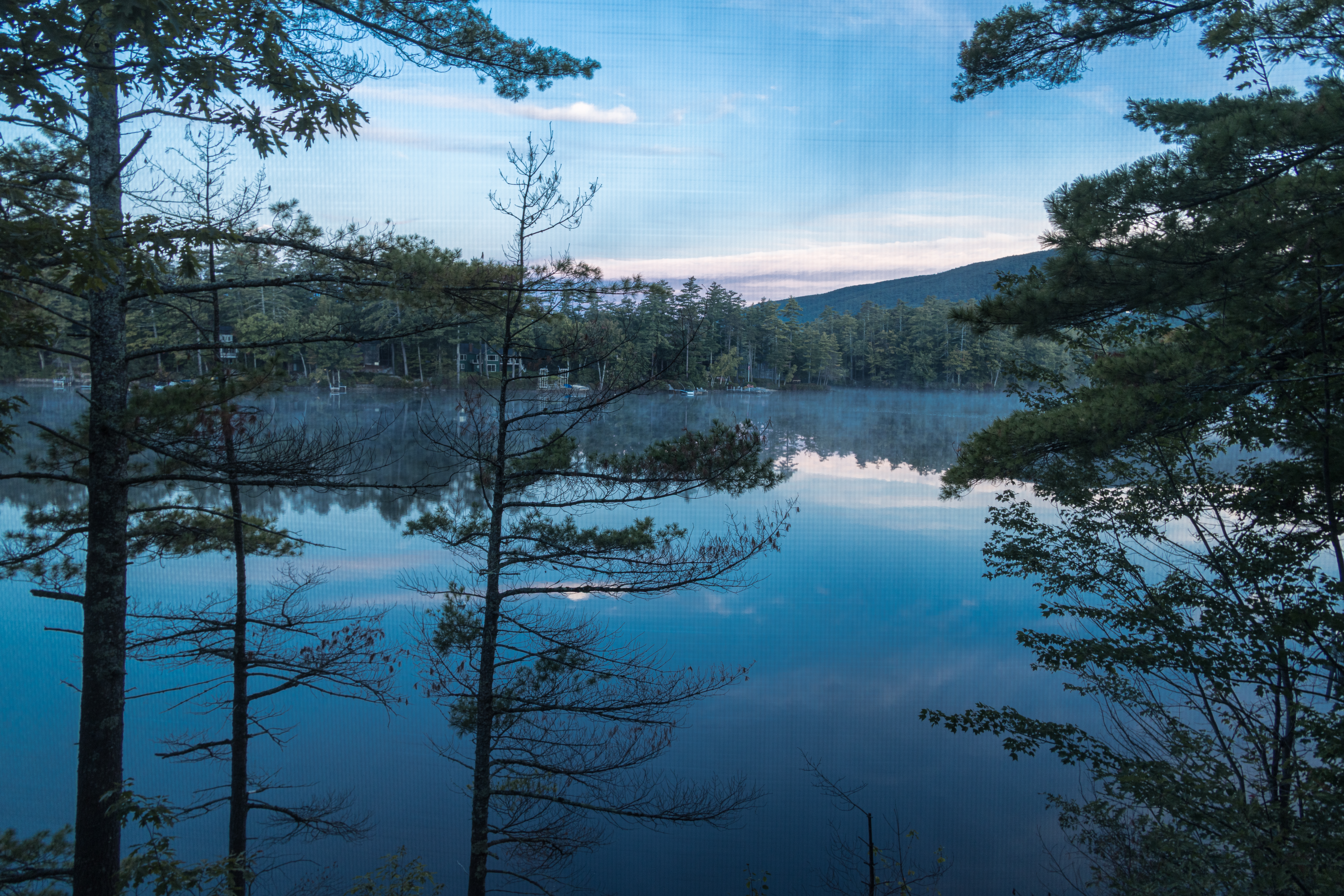
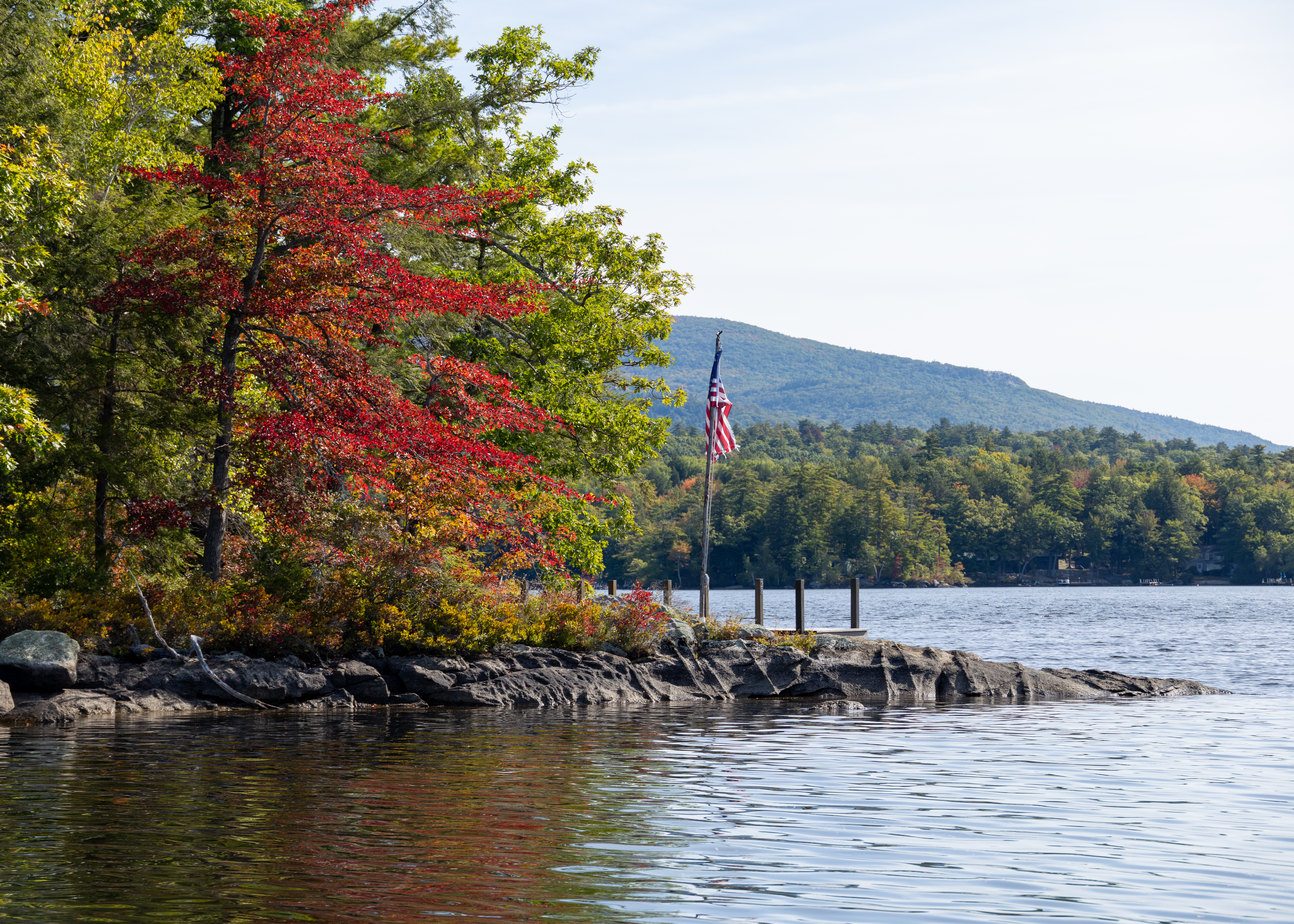
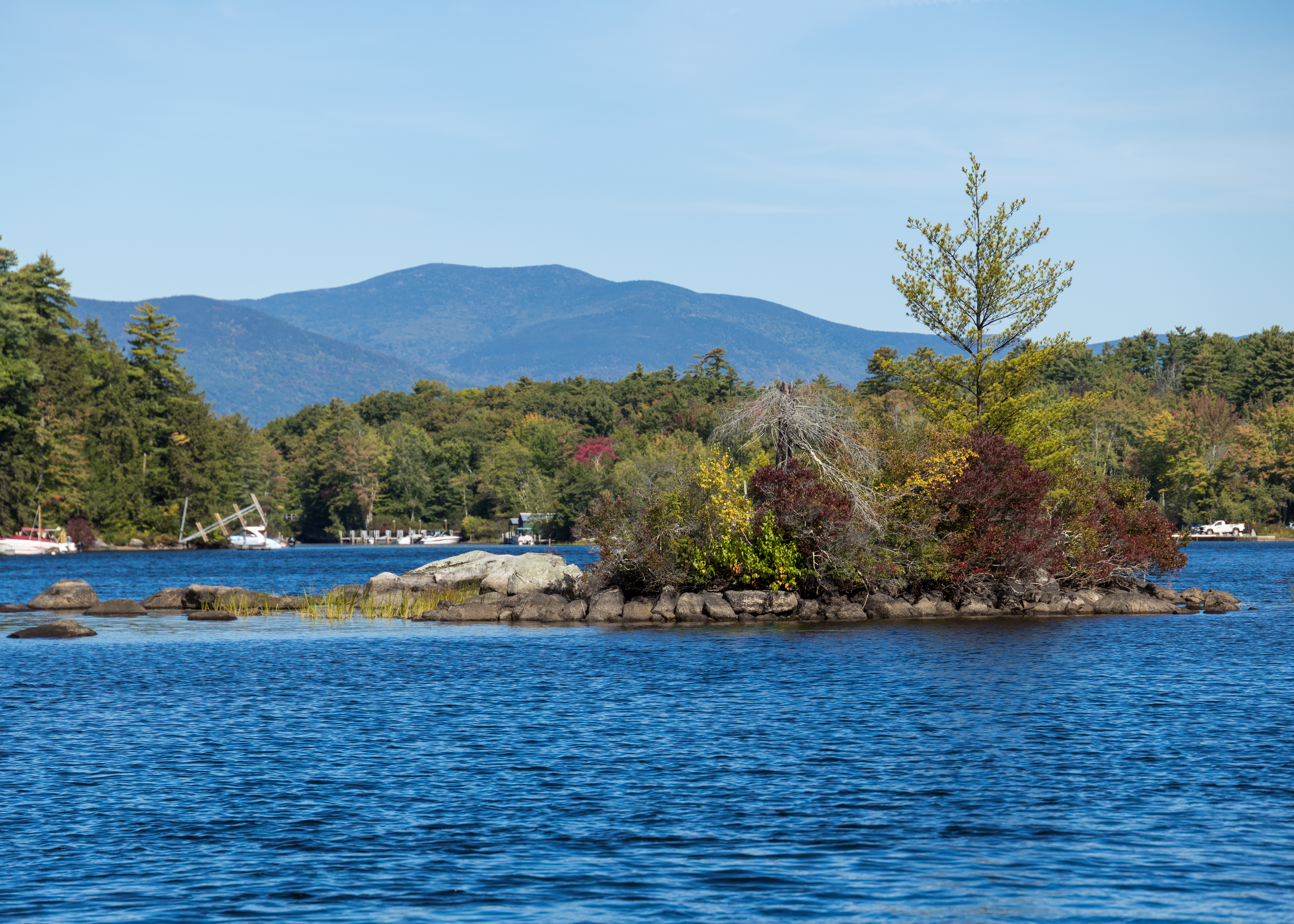
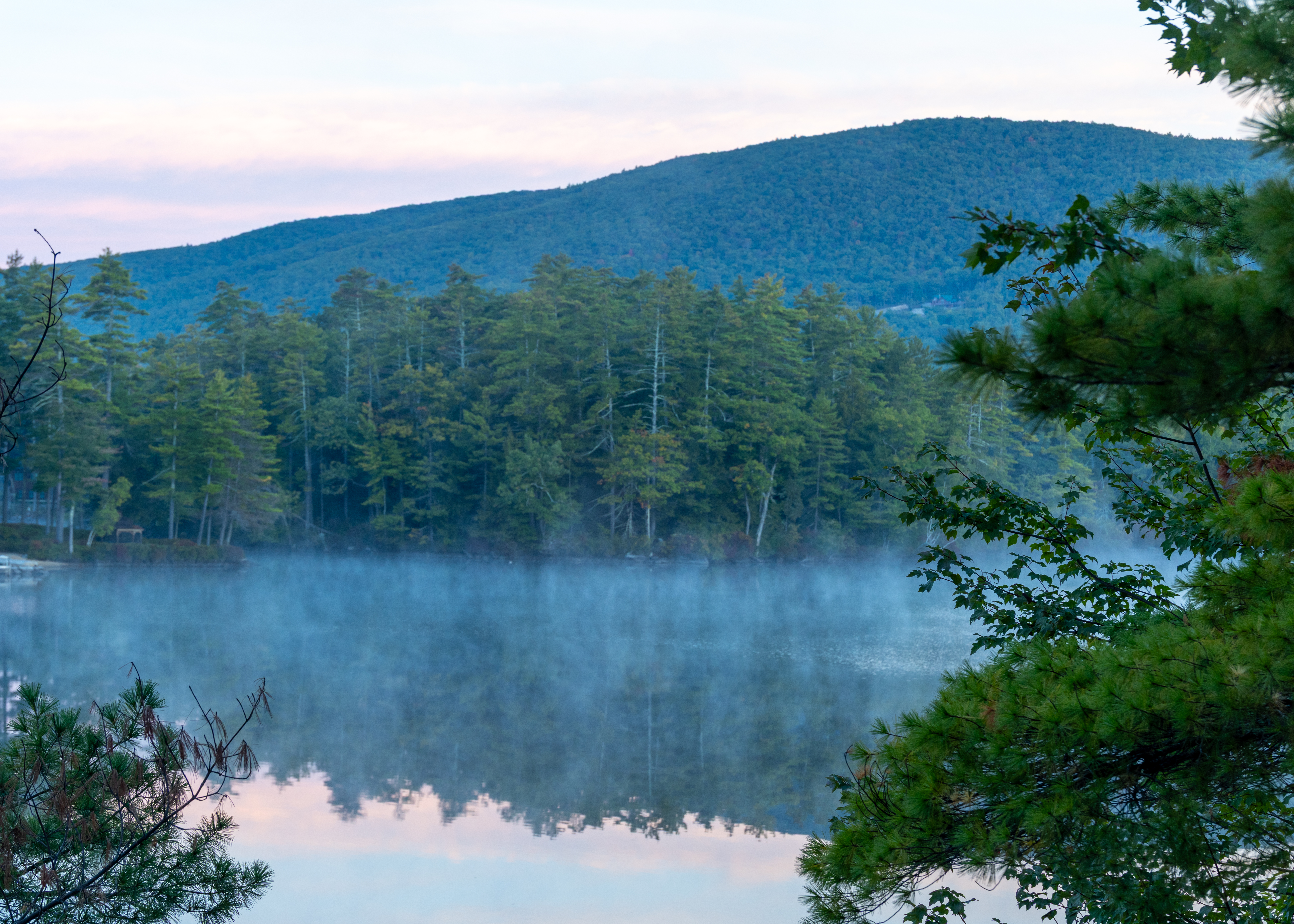
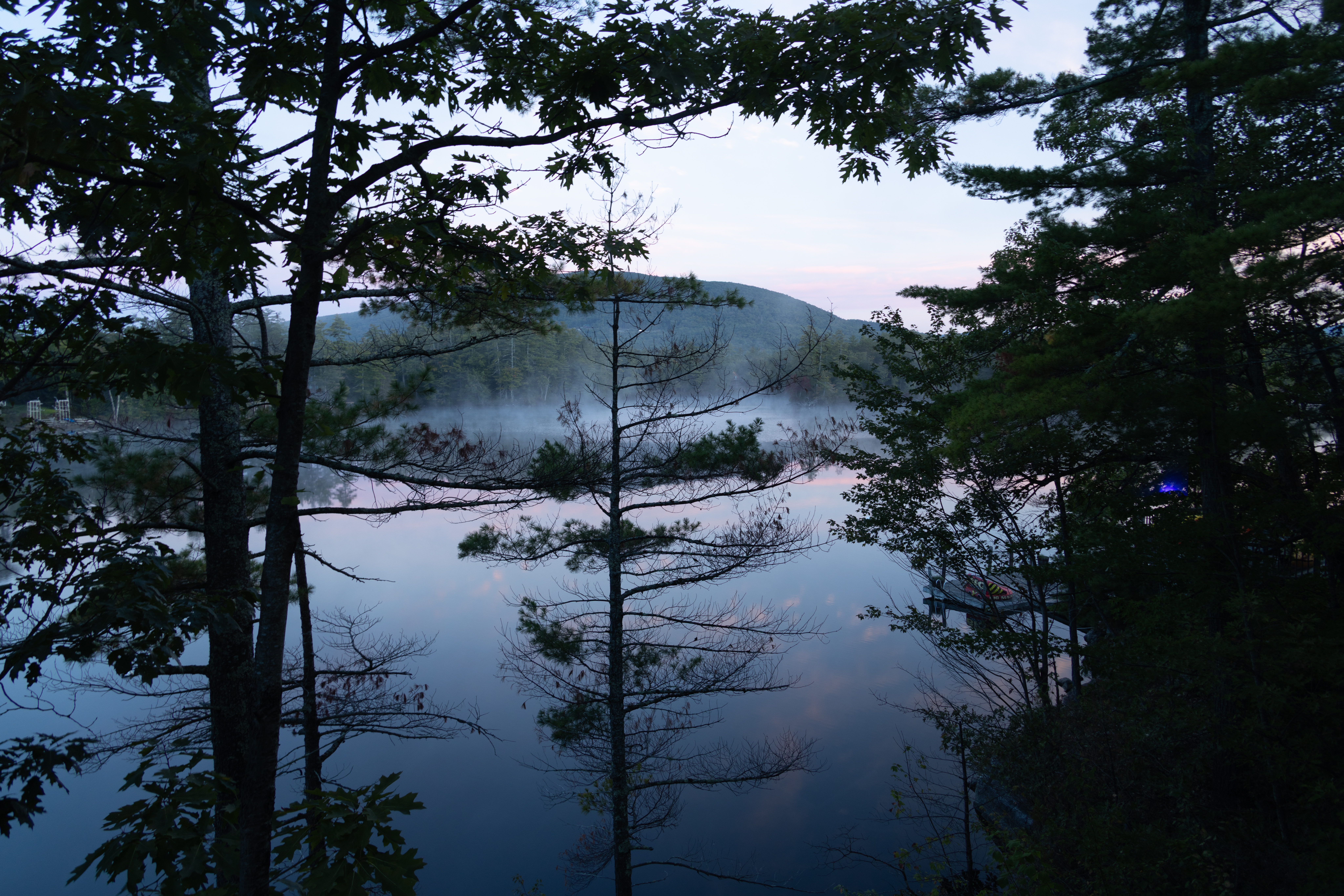
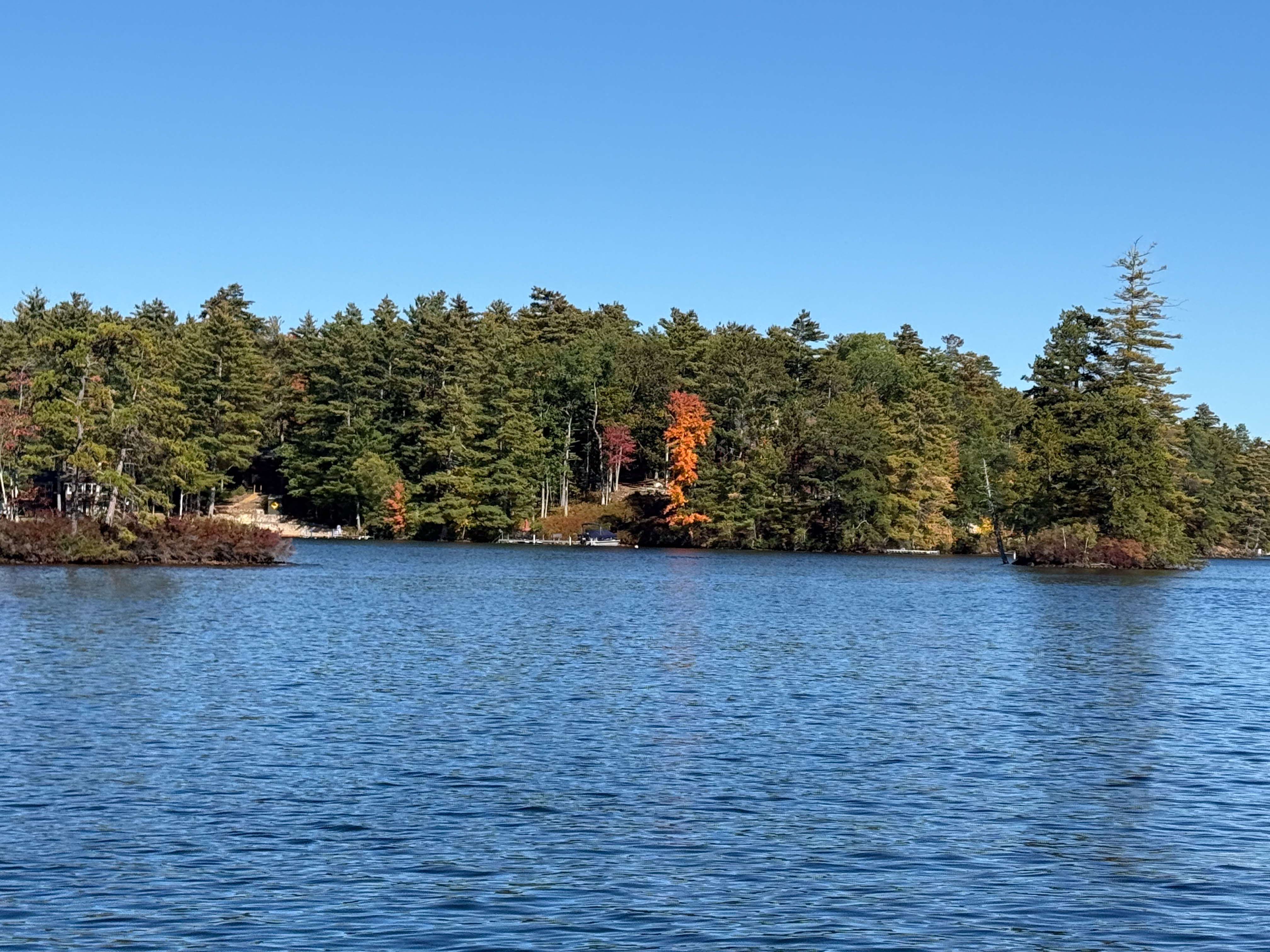
Lake Winnipesaukee is the largest lake in New Hampshire and one of the most popular vacation destinations in New England. It’s located in New Hampshire’s Lakes Region at the foothills of the White Mountains. The lake covers about 70 to 72 square miles, stretches roughly 21 miles long, and has more than 250 islands. A fun fact: the name “Winnipesaukee” comes from an Abenaki word, generally translated as “the land that surrounds the lake”. We stayed a few days with a cousin who provided us with a tour of the lake by boat. The eagle in flight was captured by Chris on her iphone.

Europe 2026 – Day 13: Nuremberg, Germany

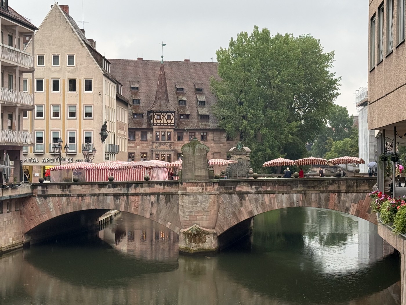
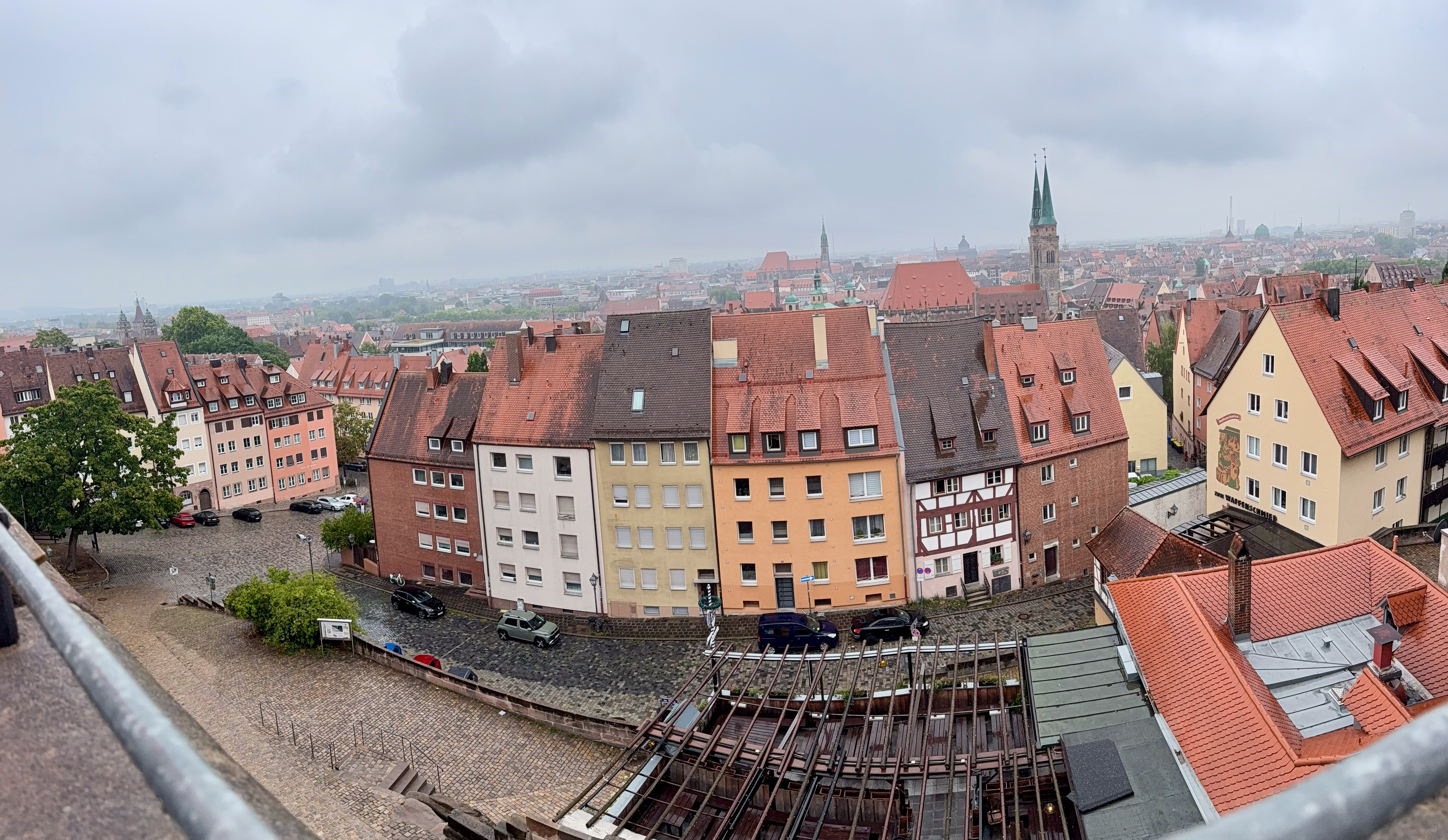
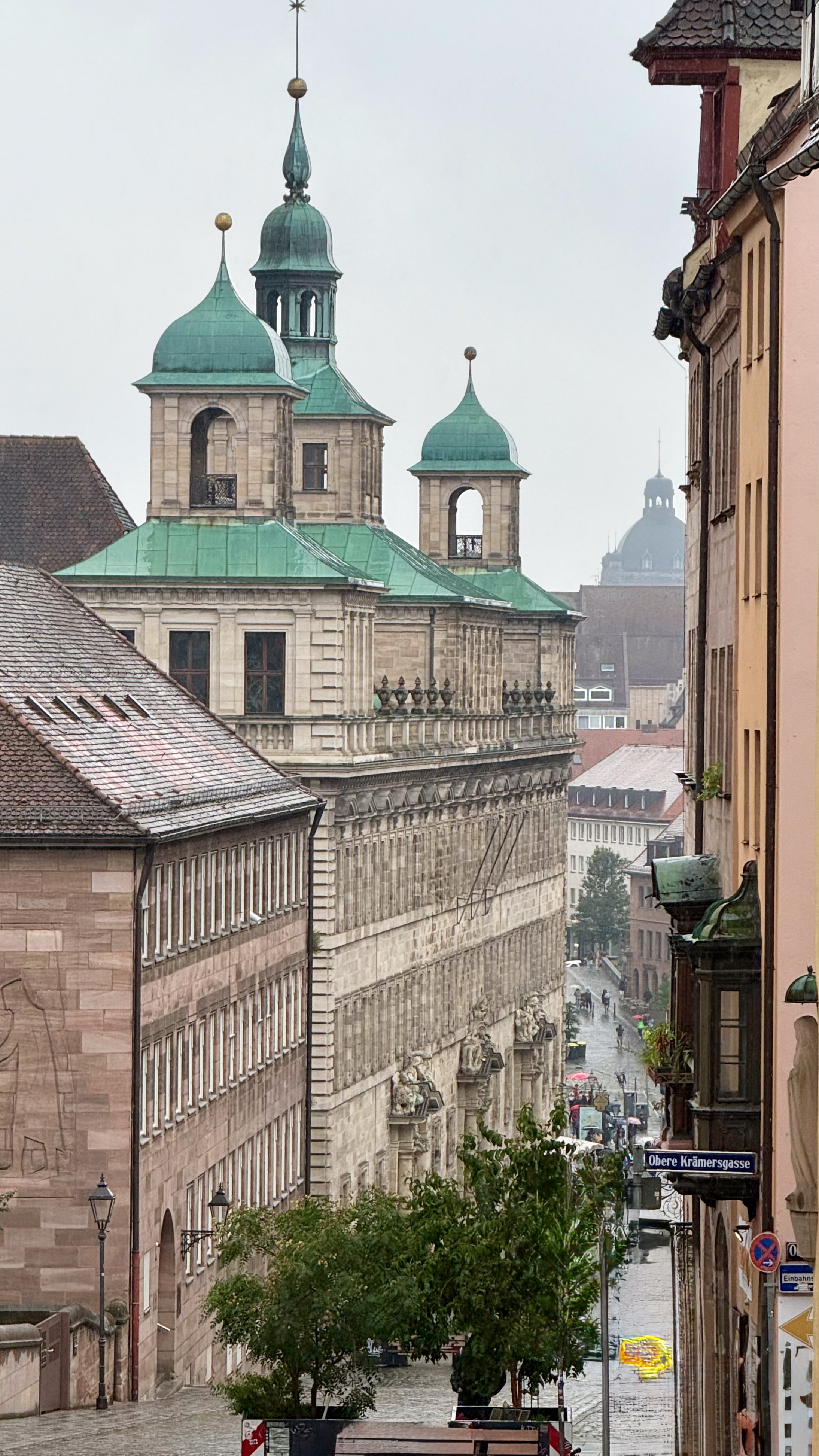
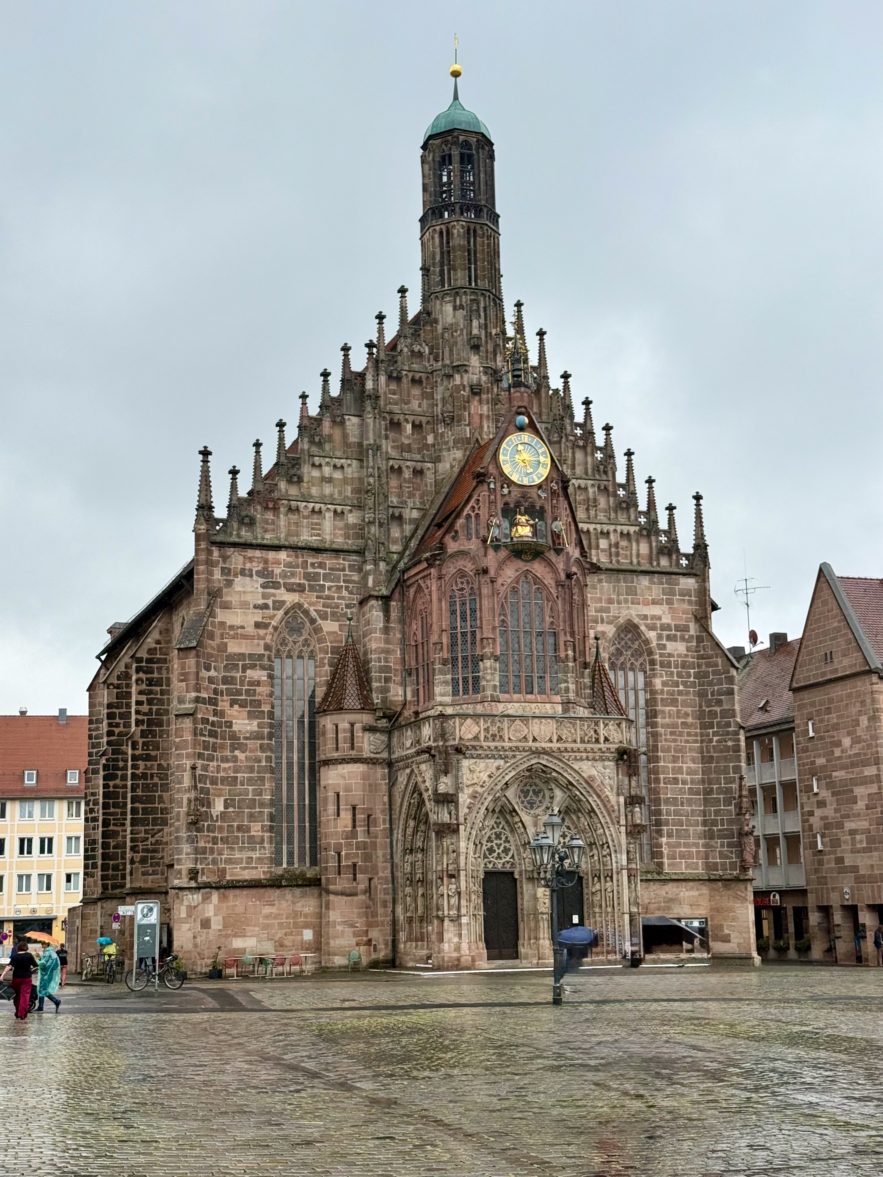
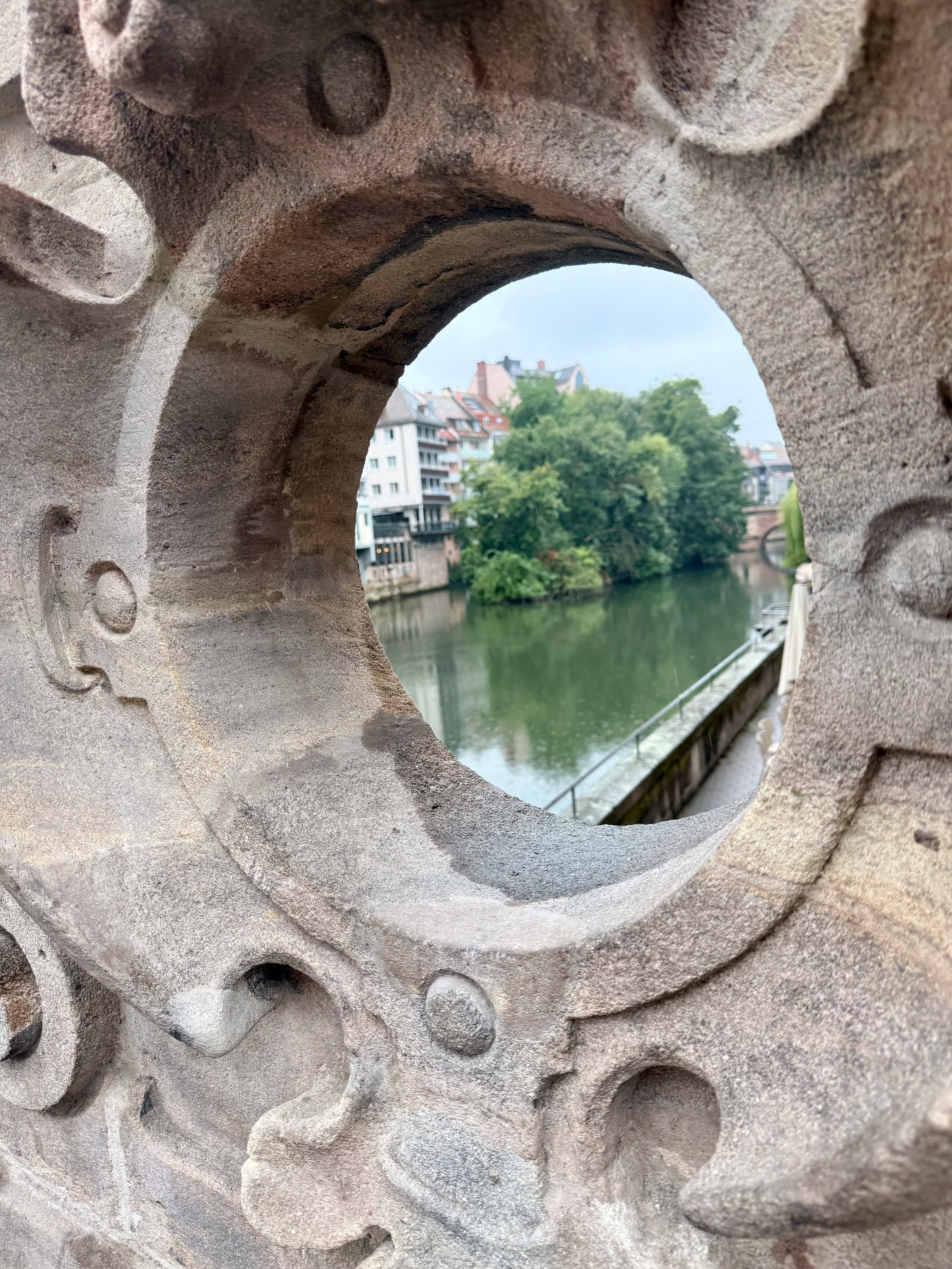
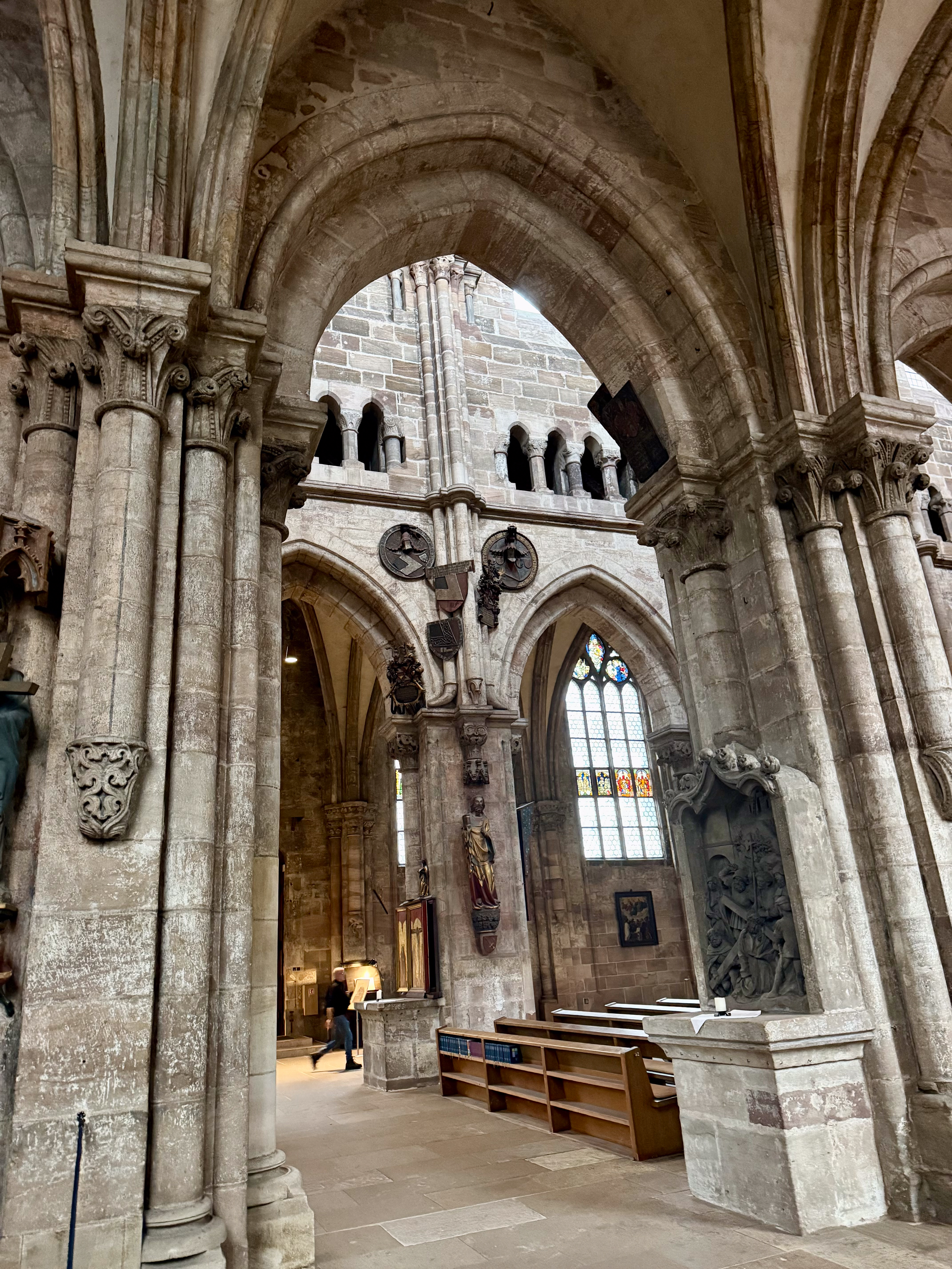
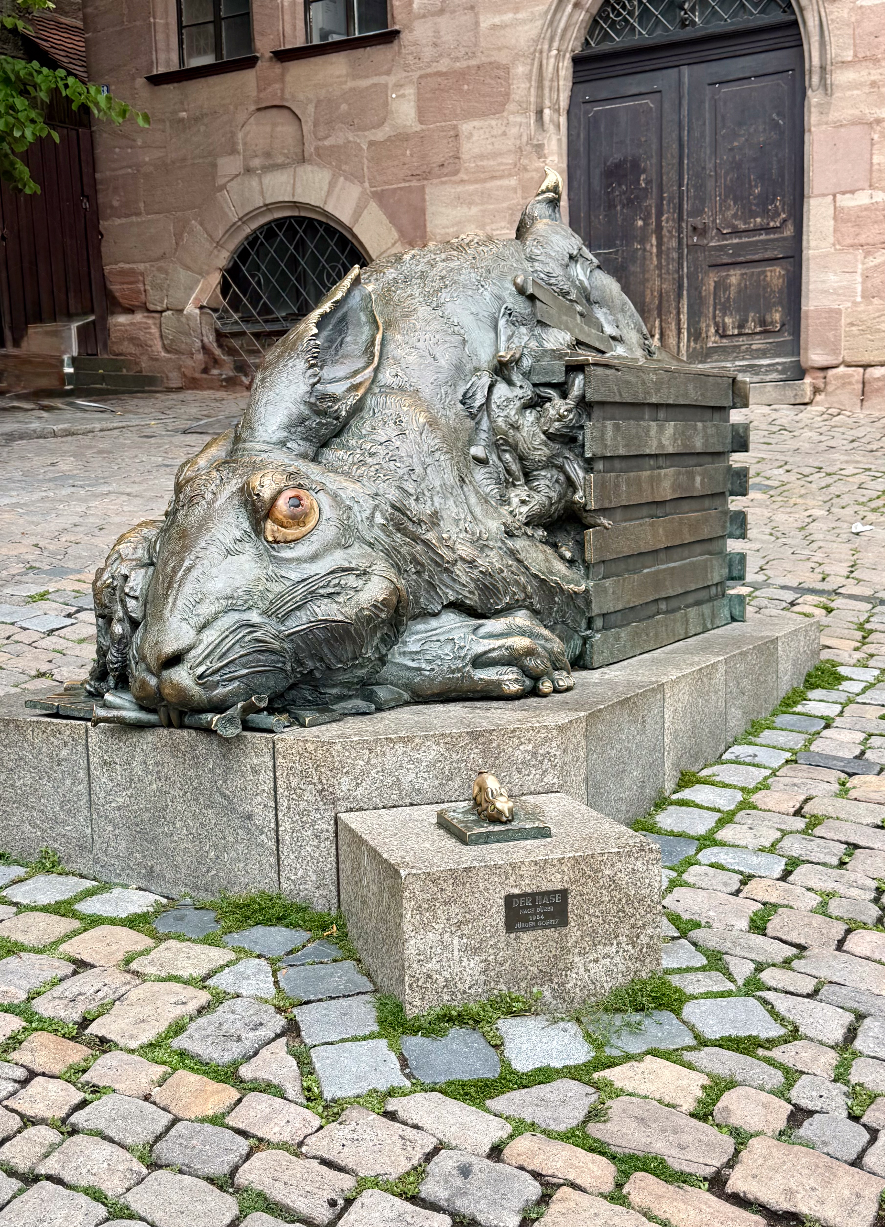
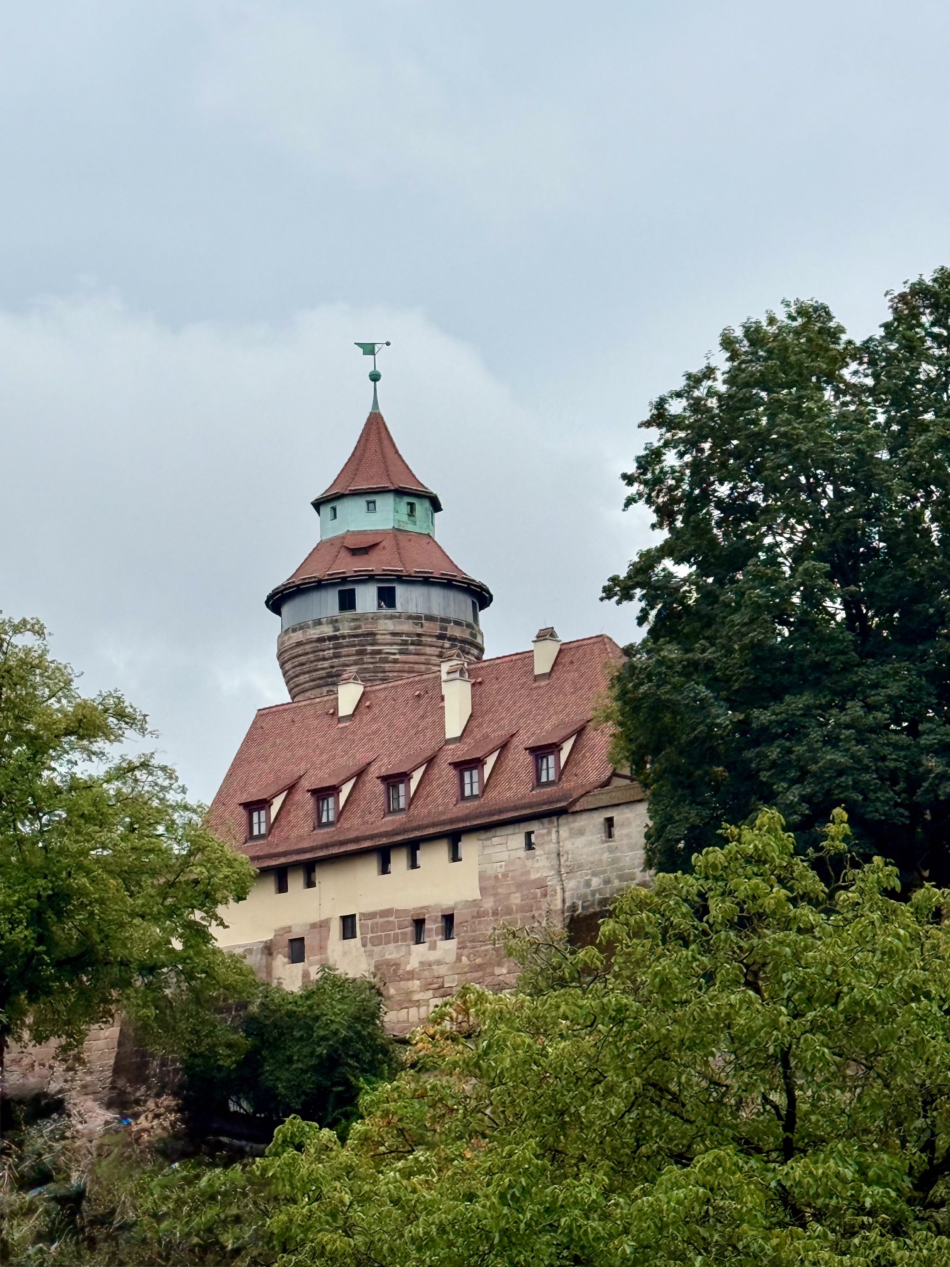
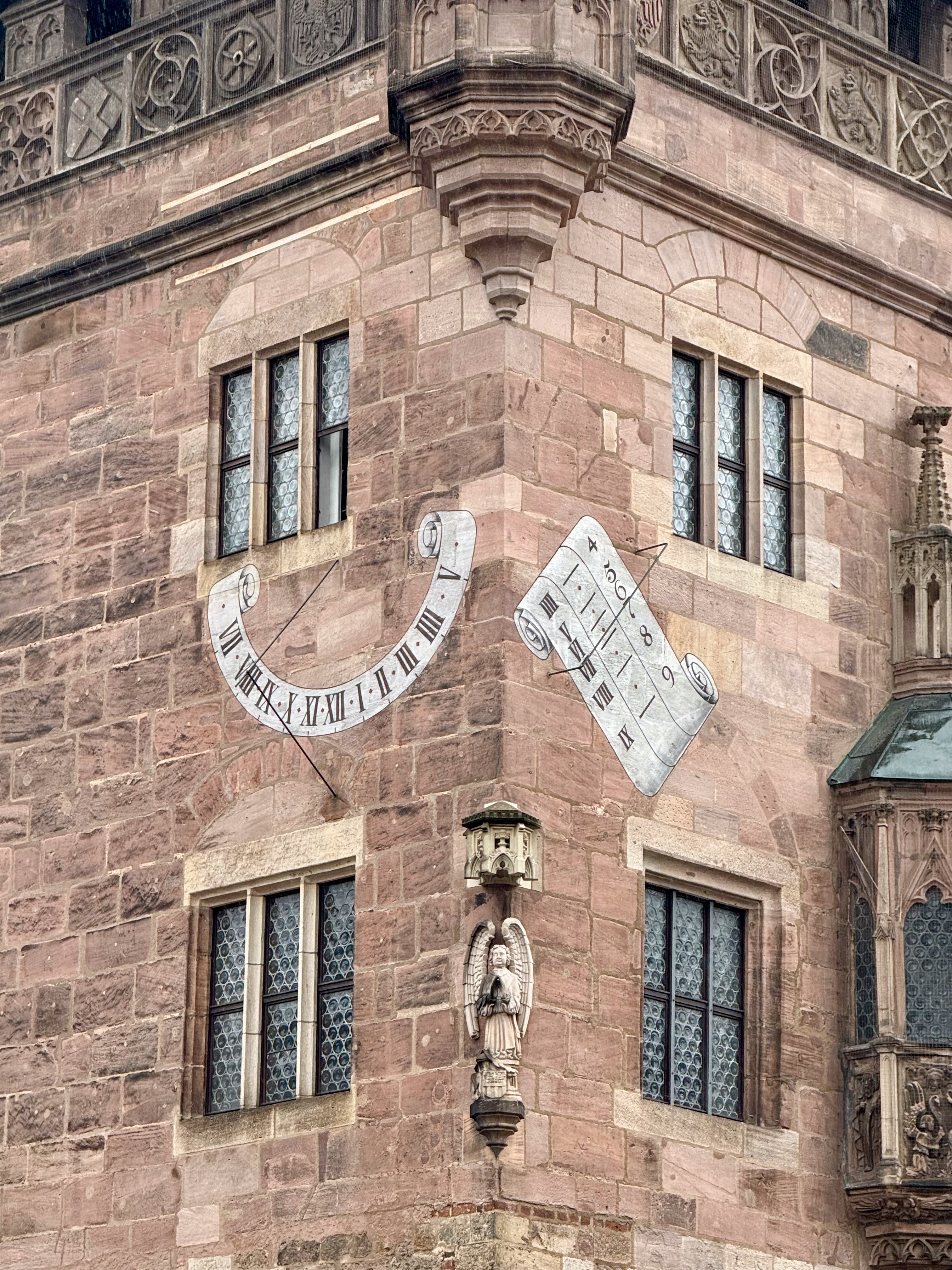
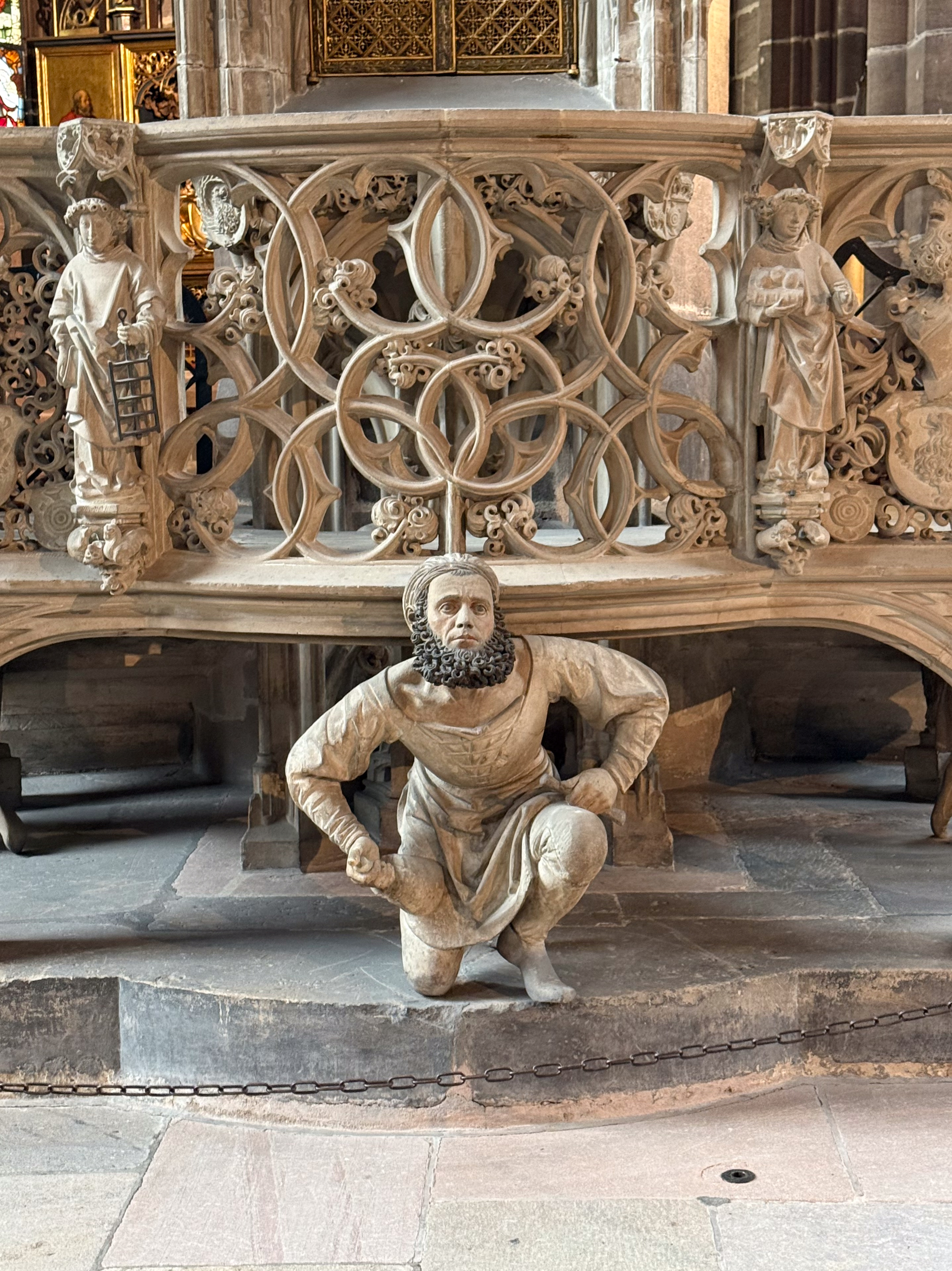
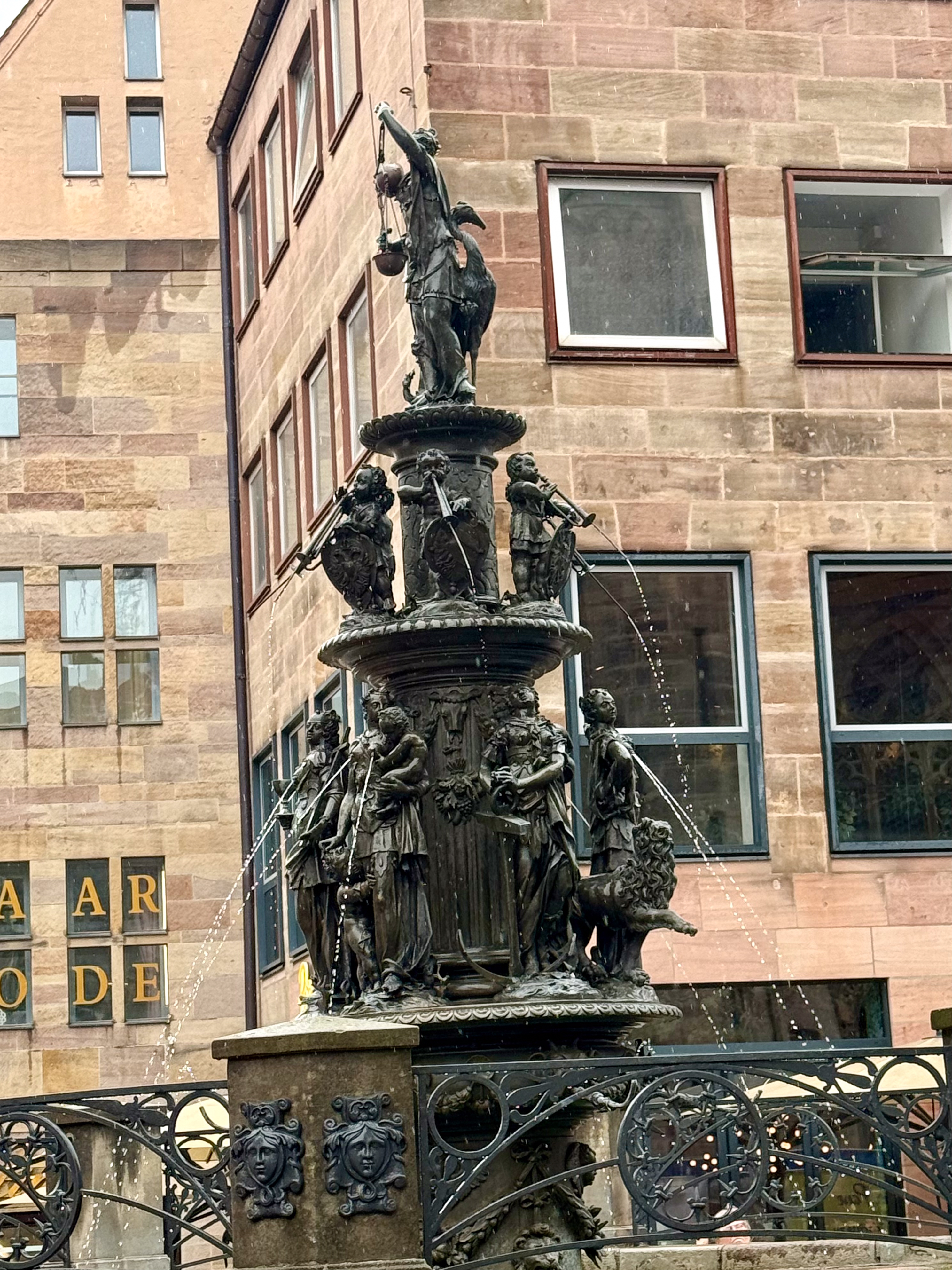
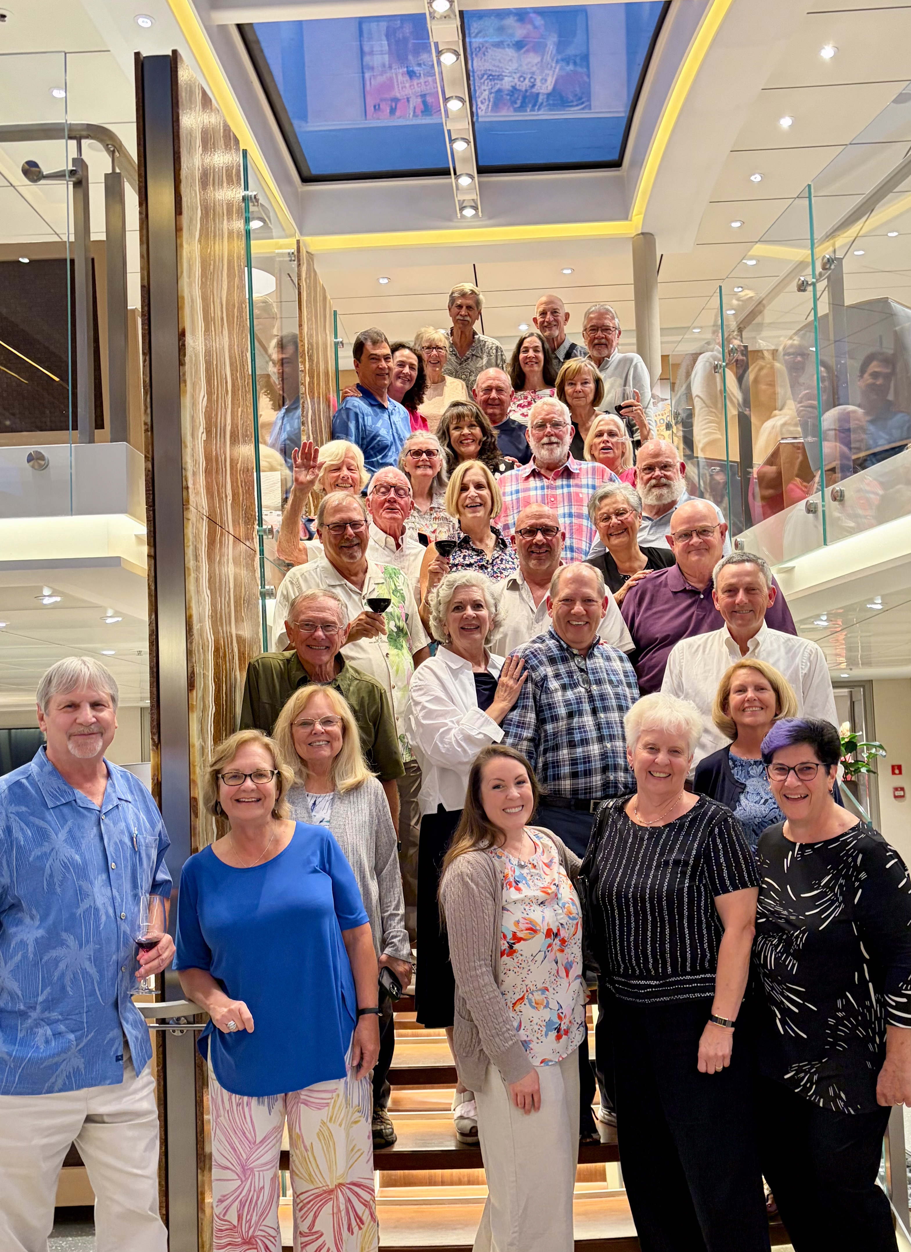
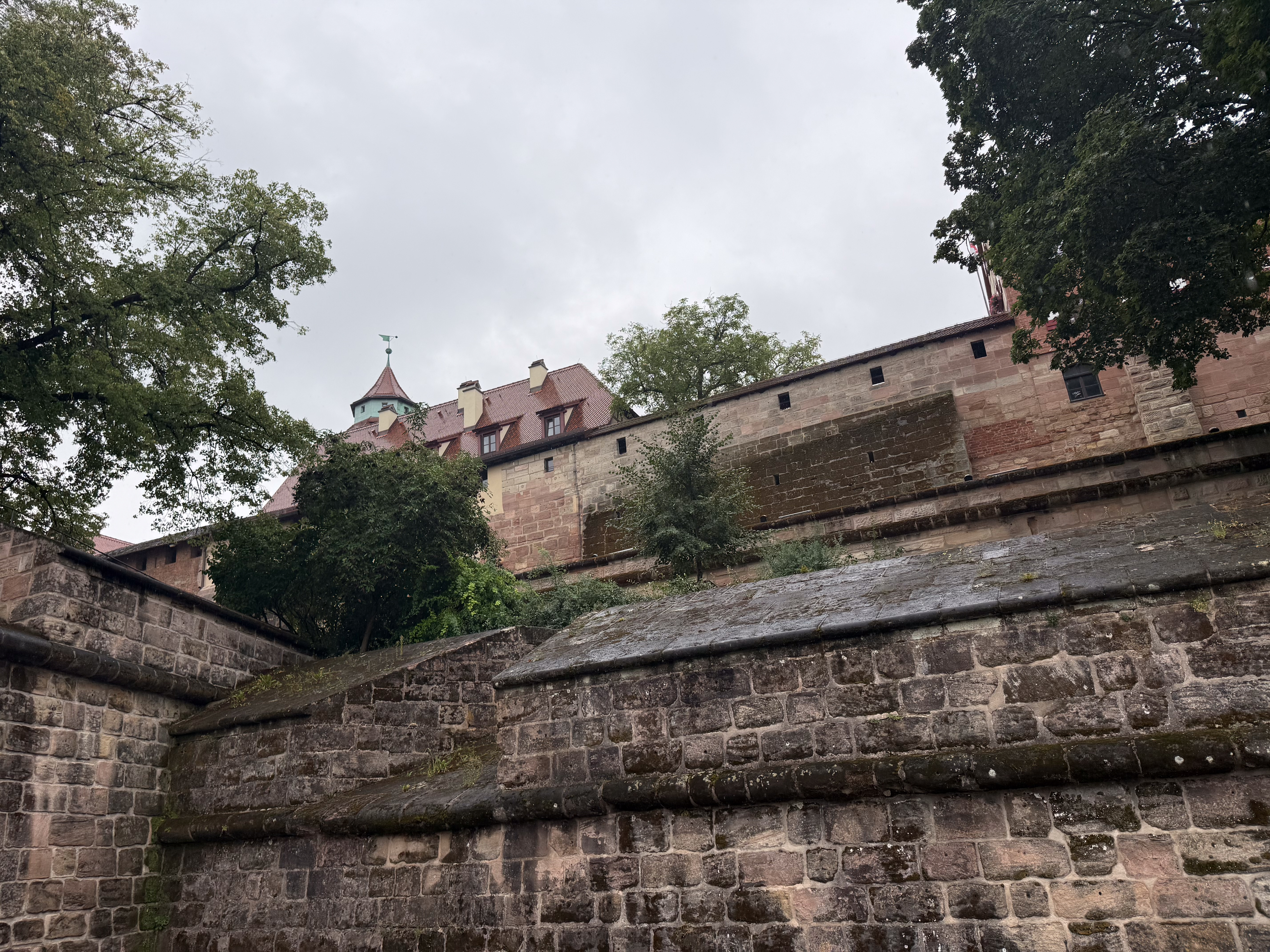
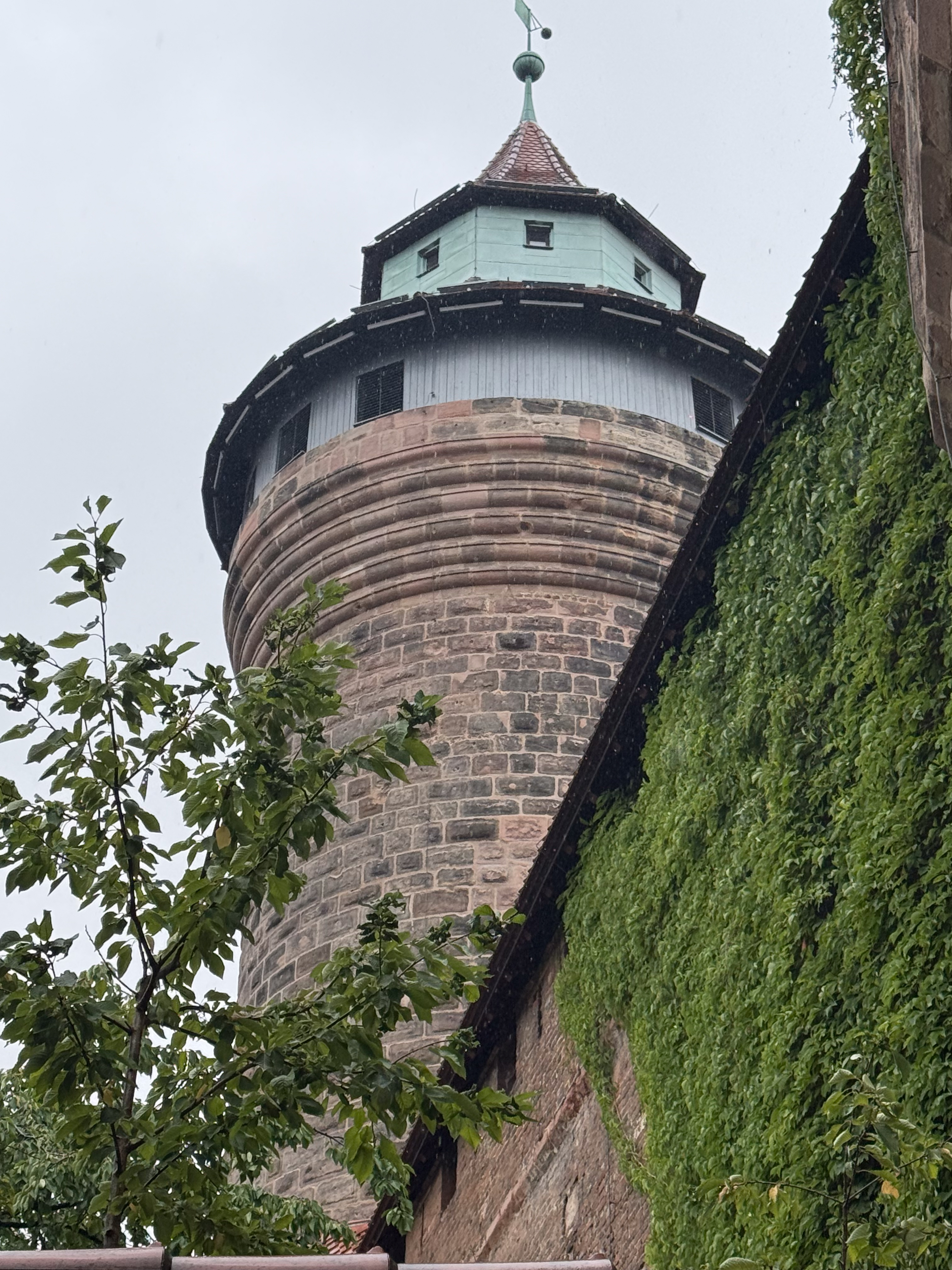
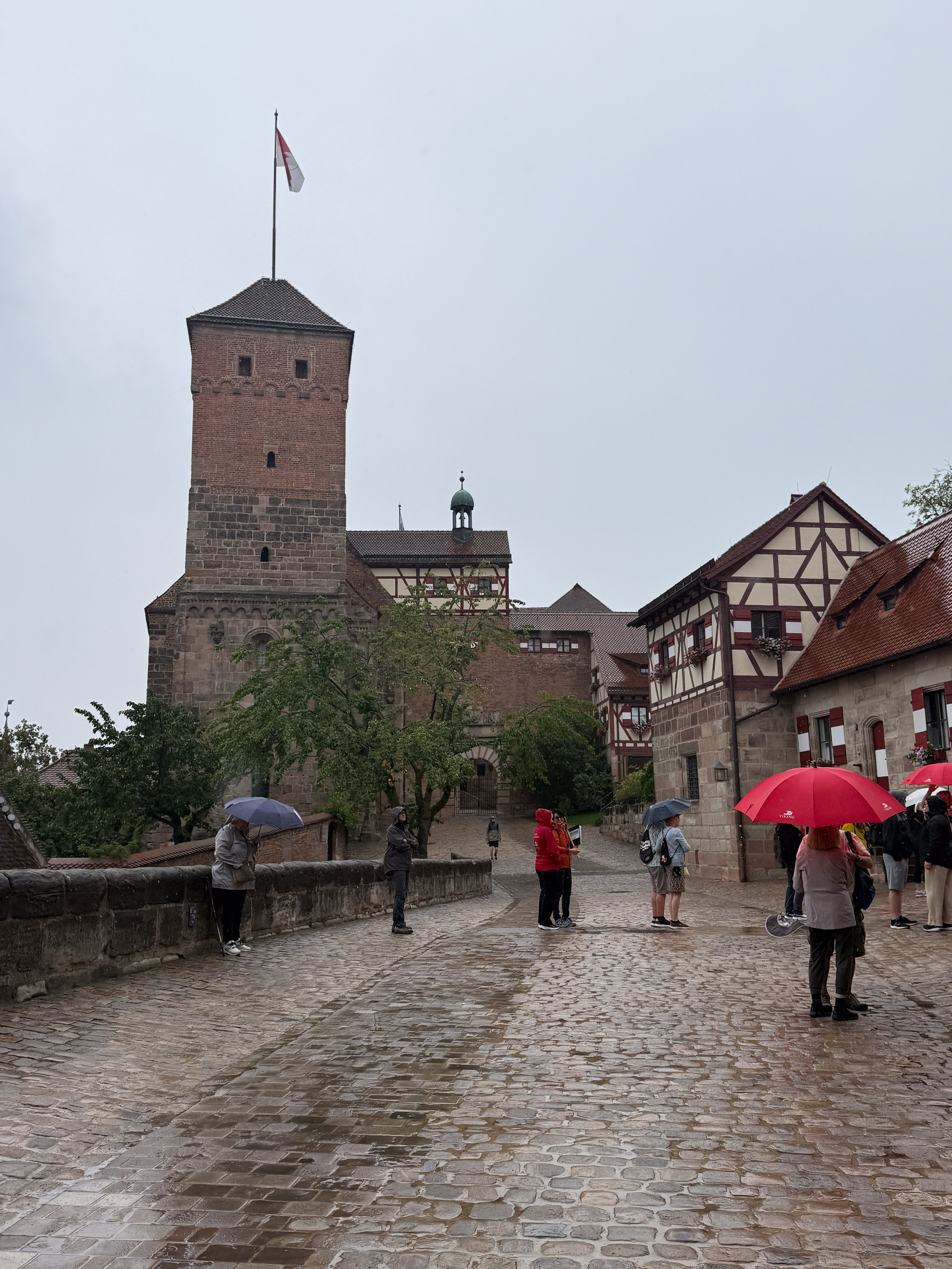
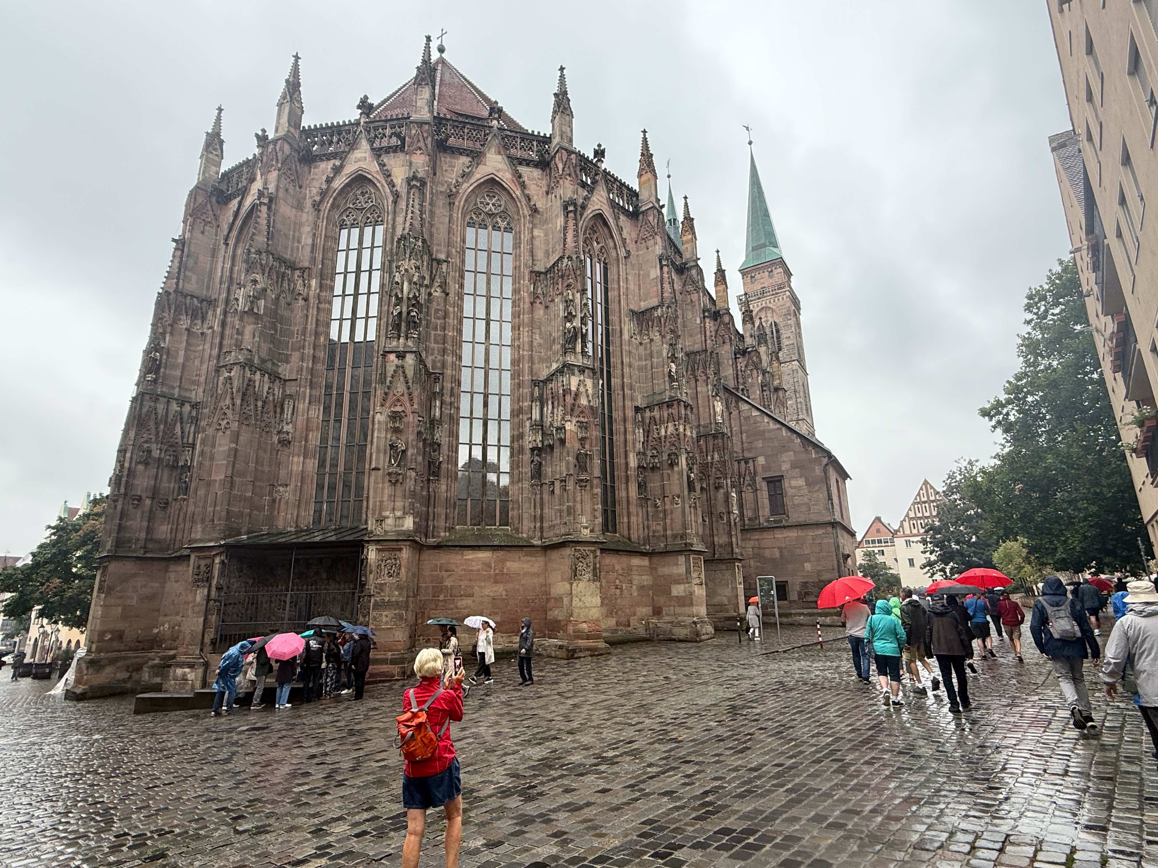
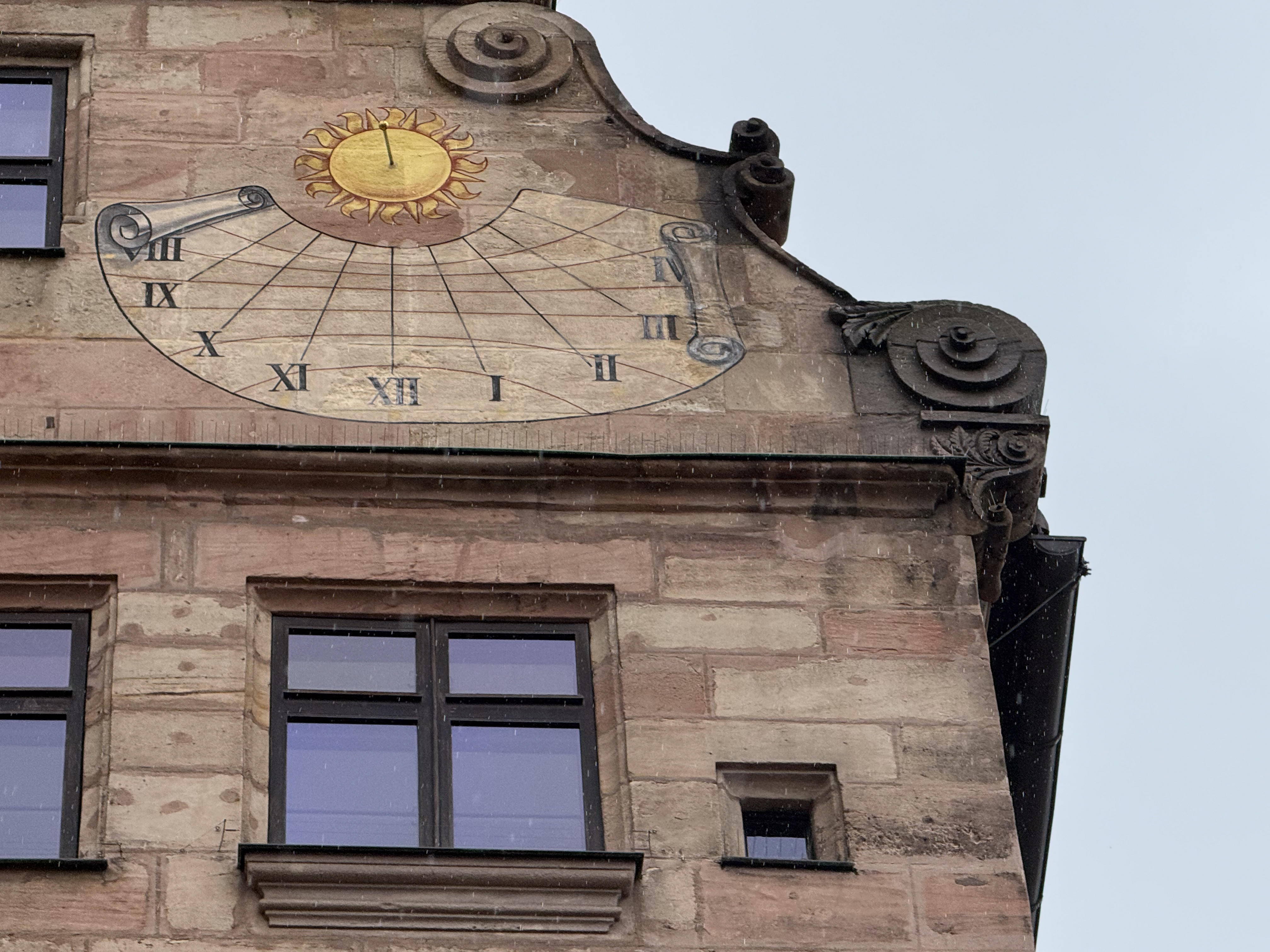
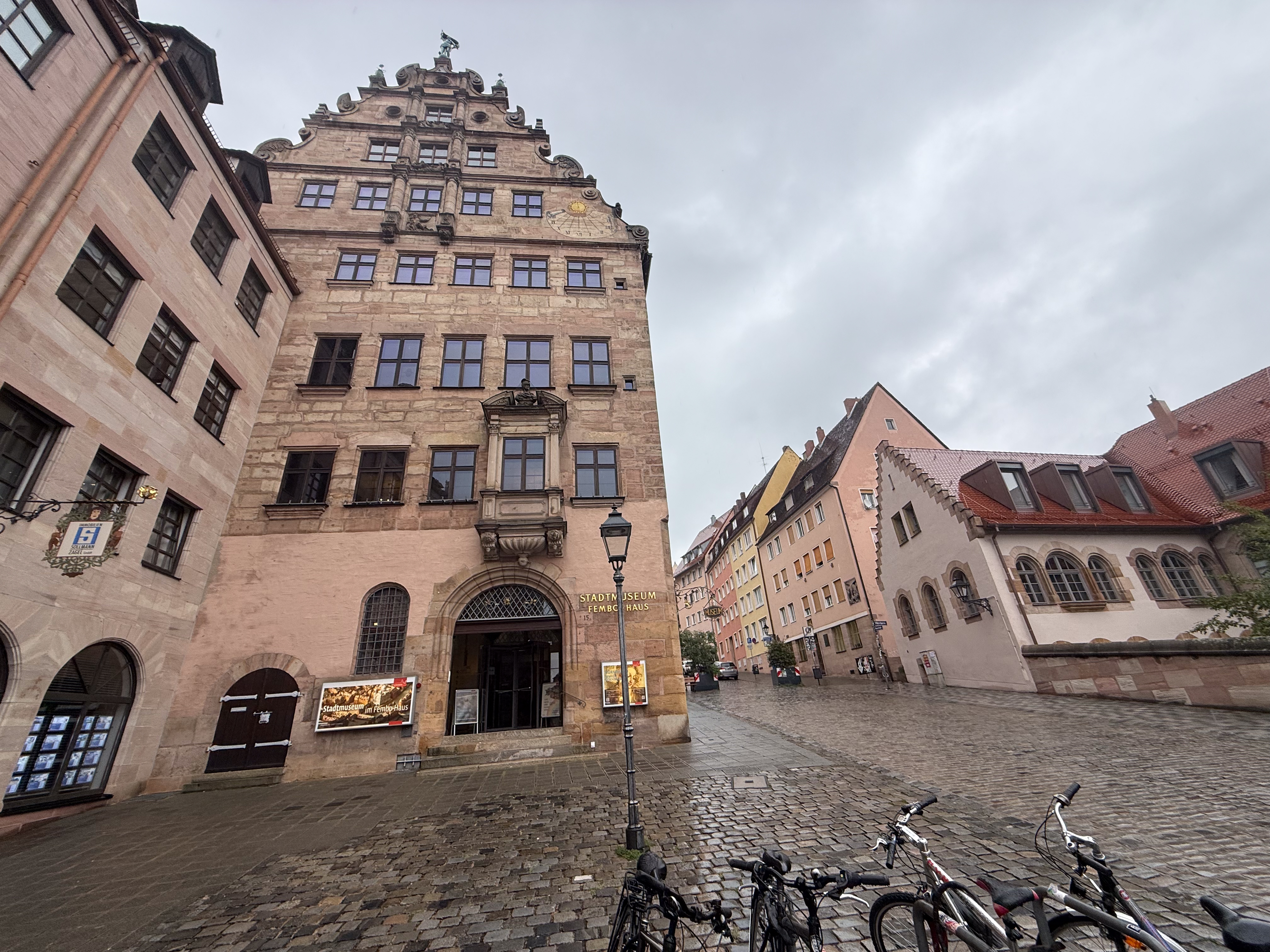
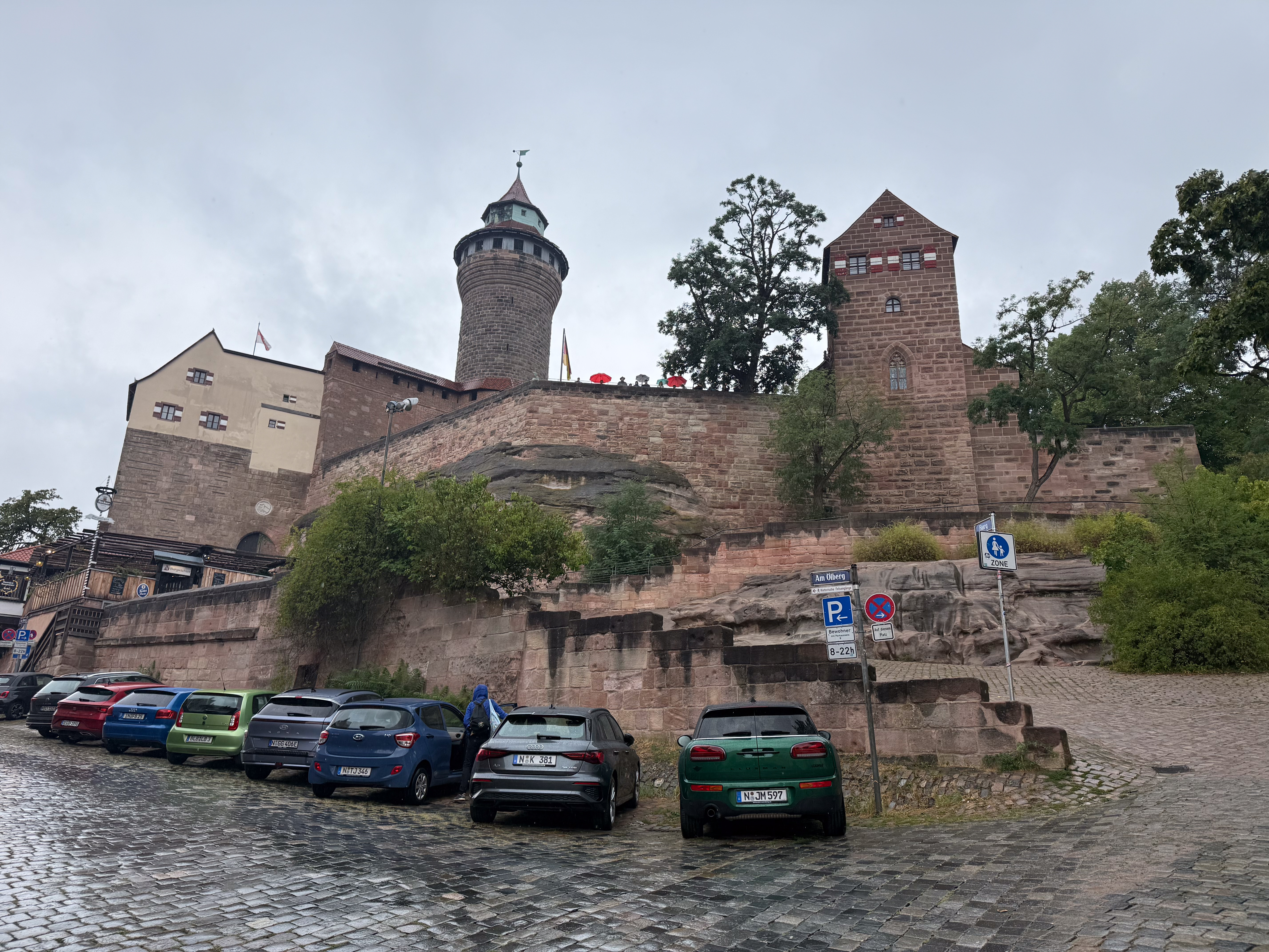
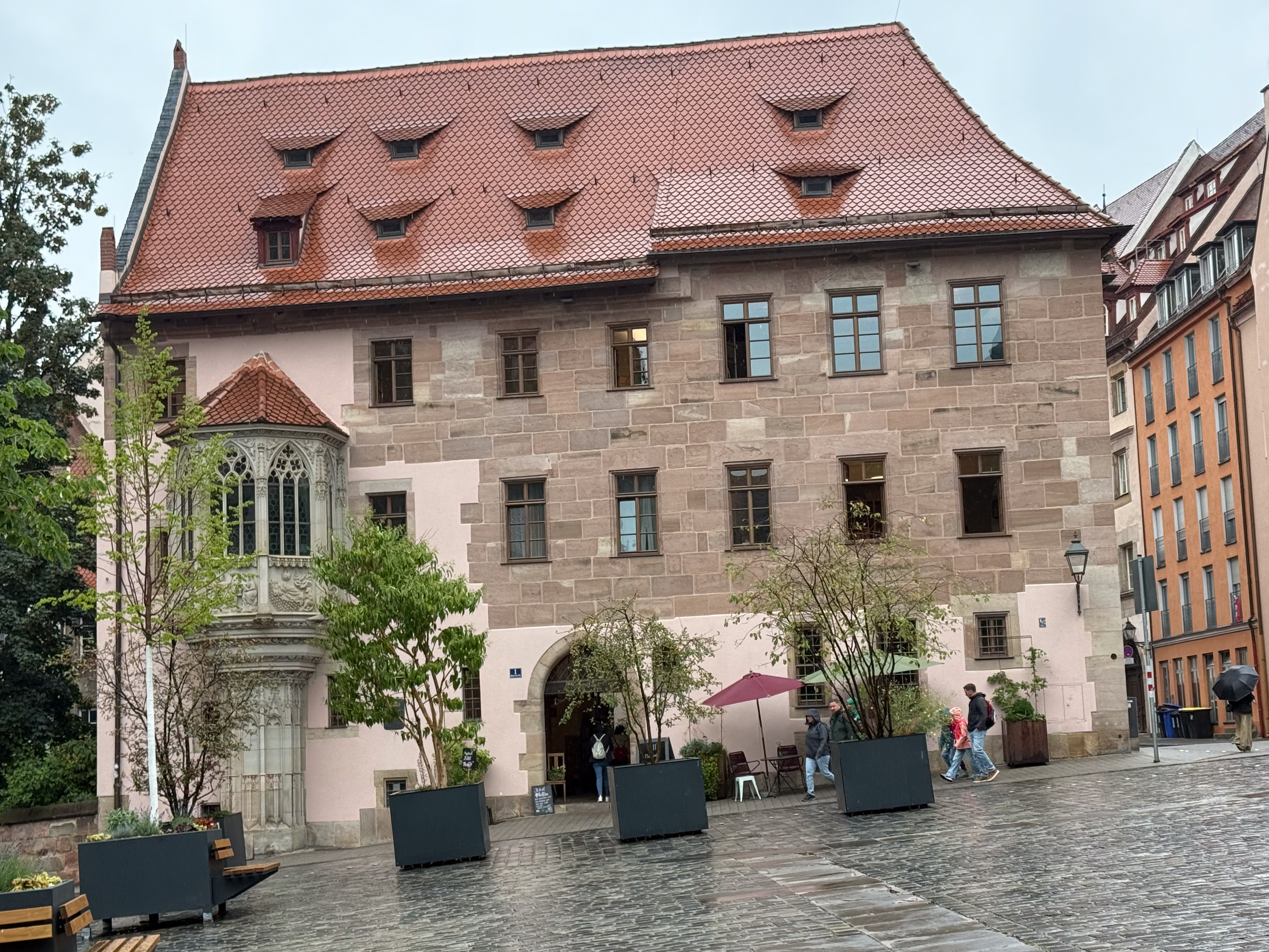
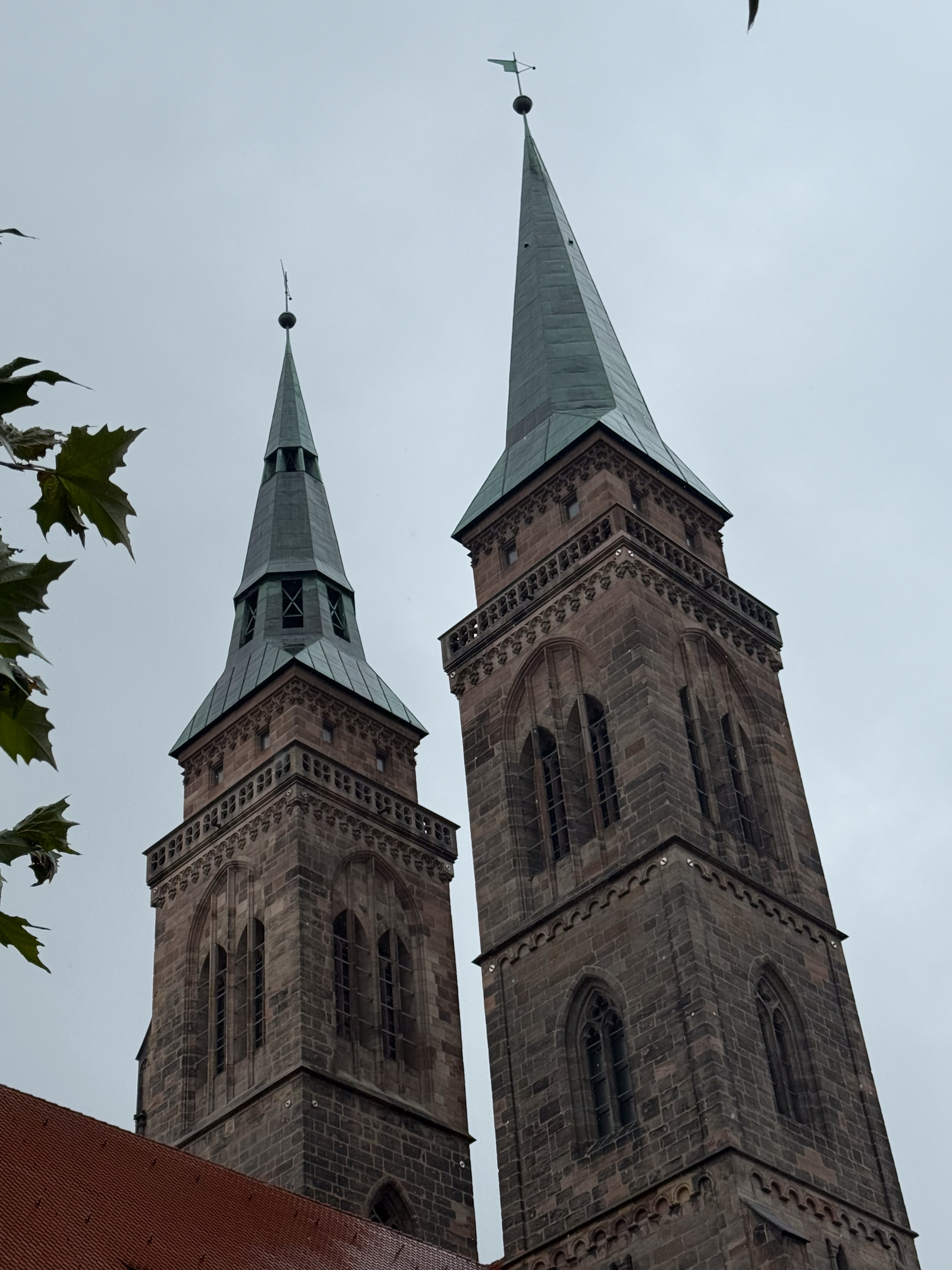
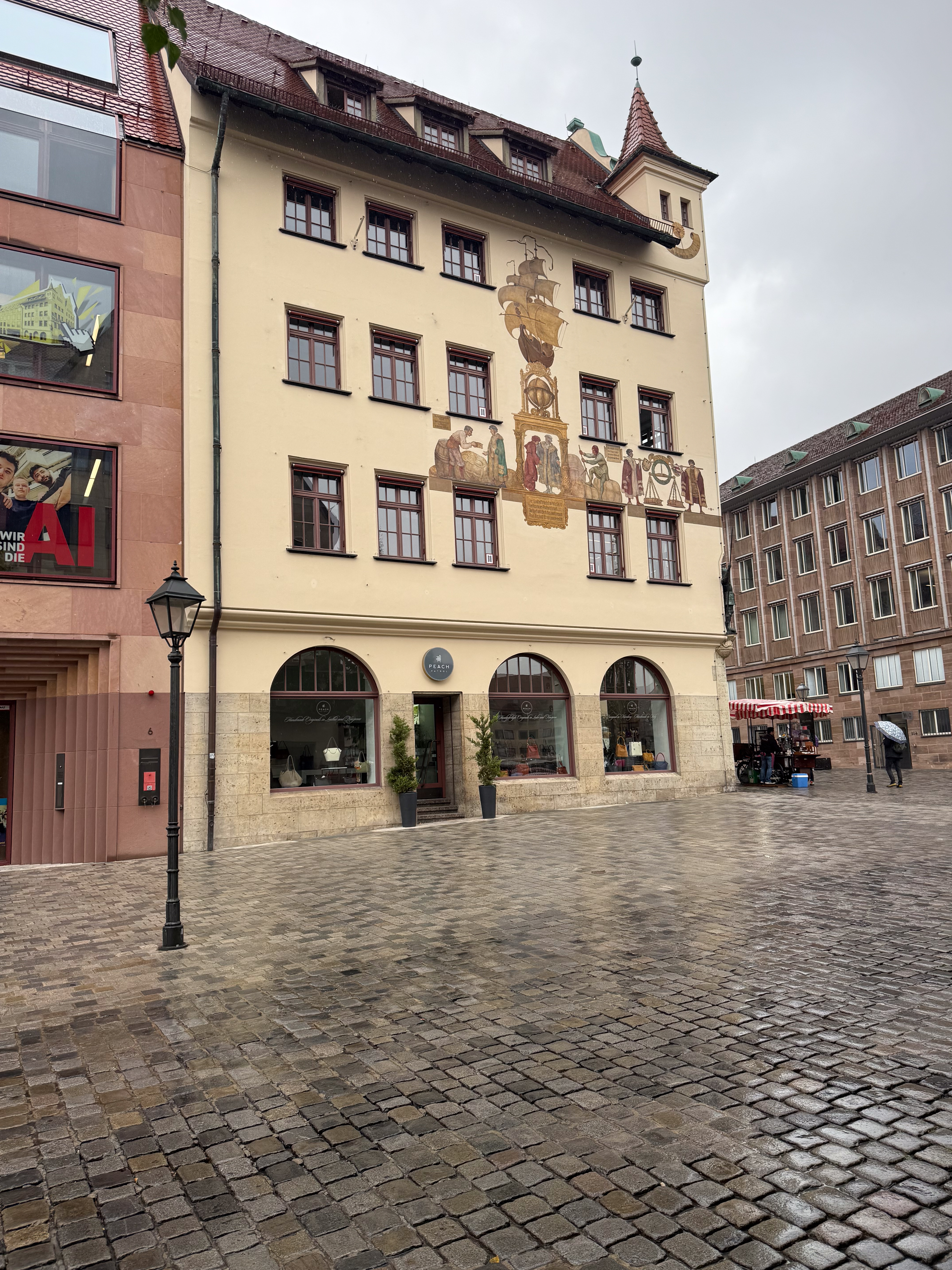
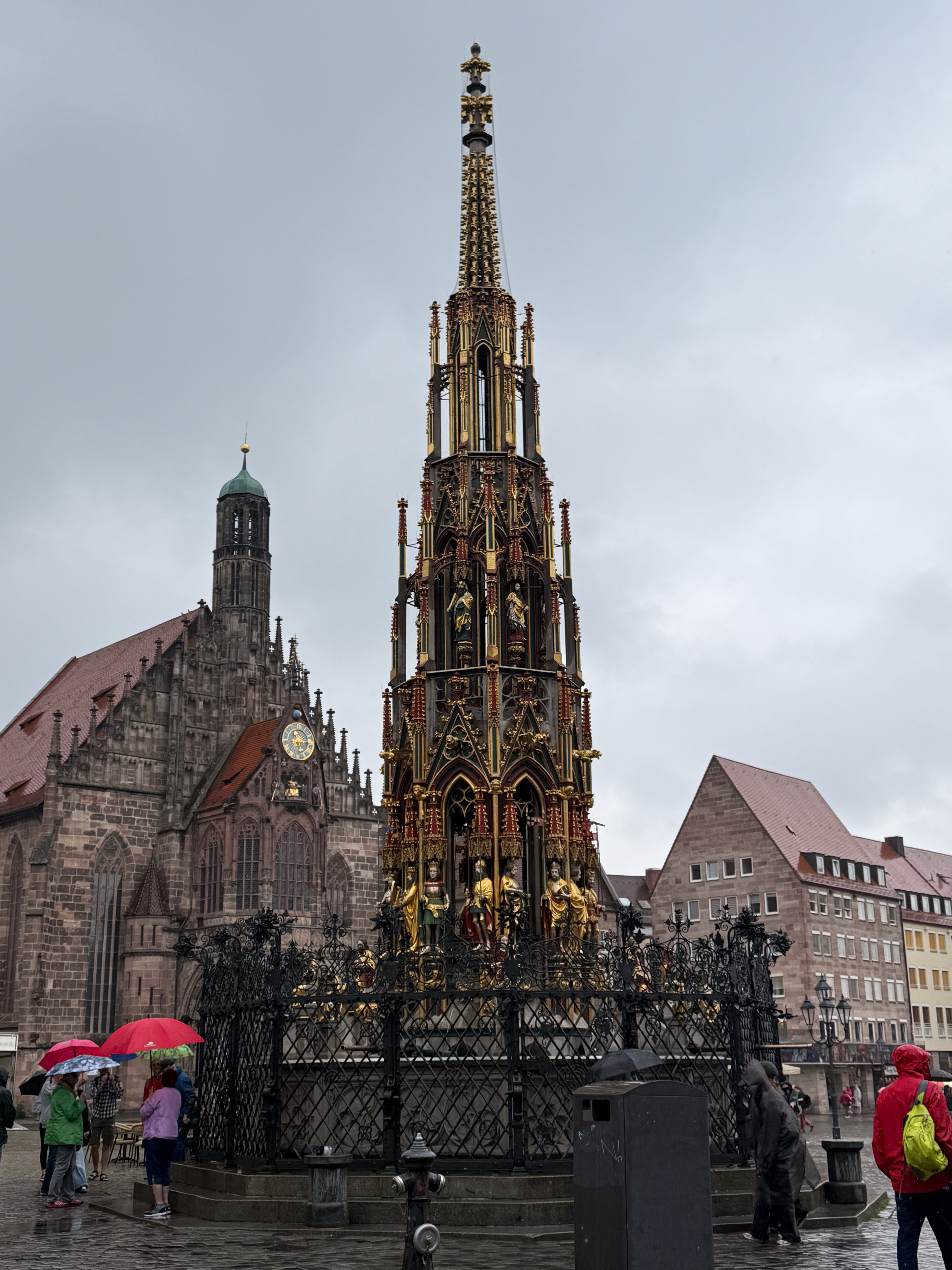
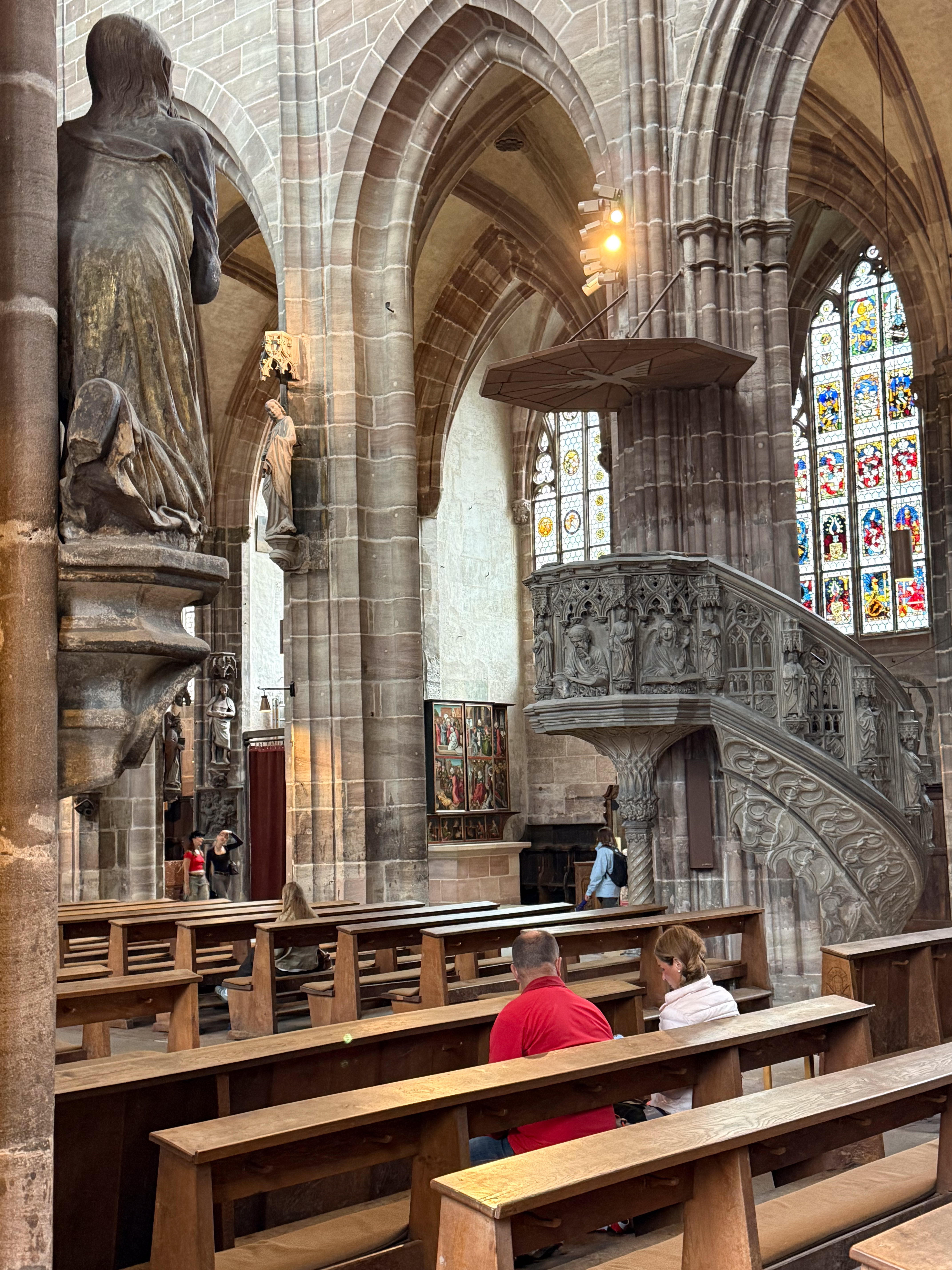
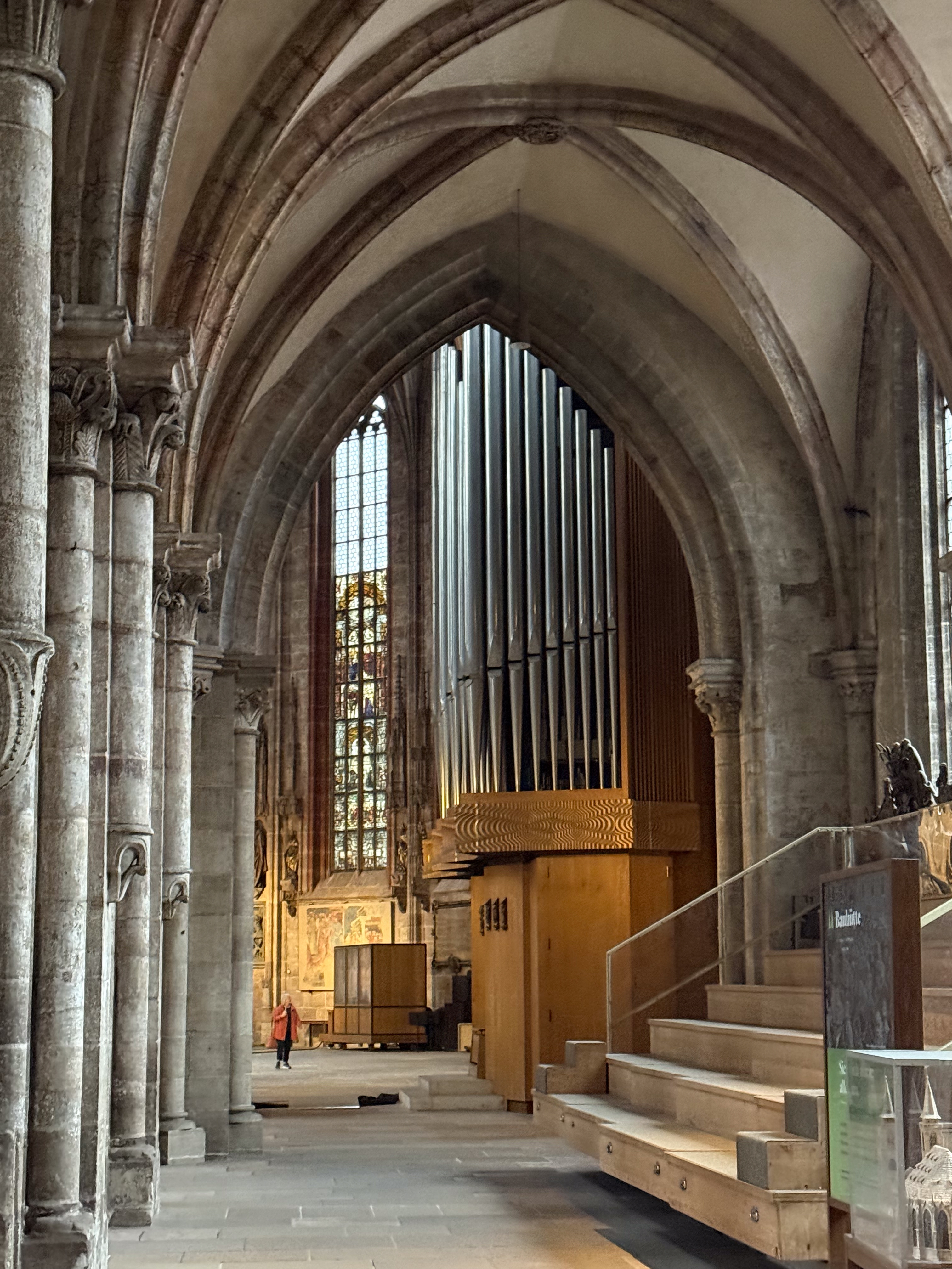
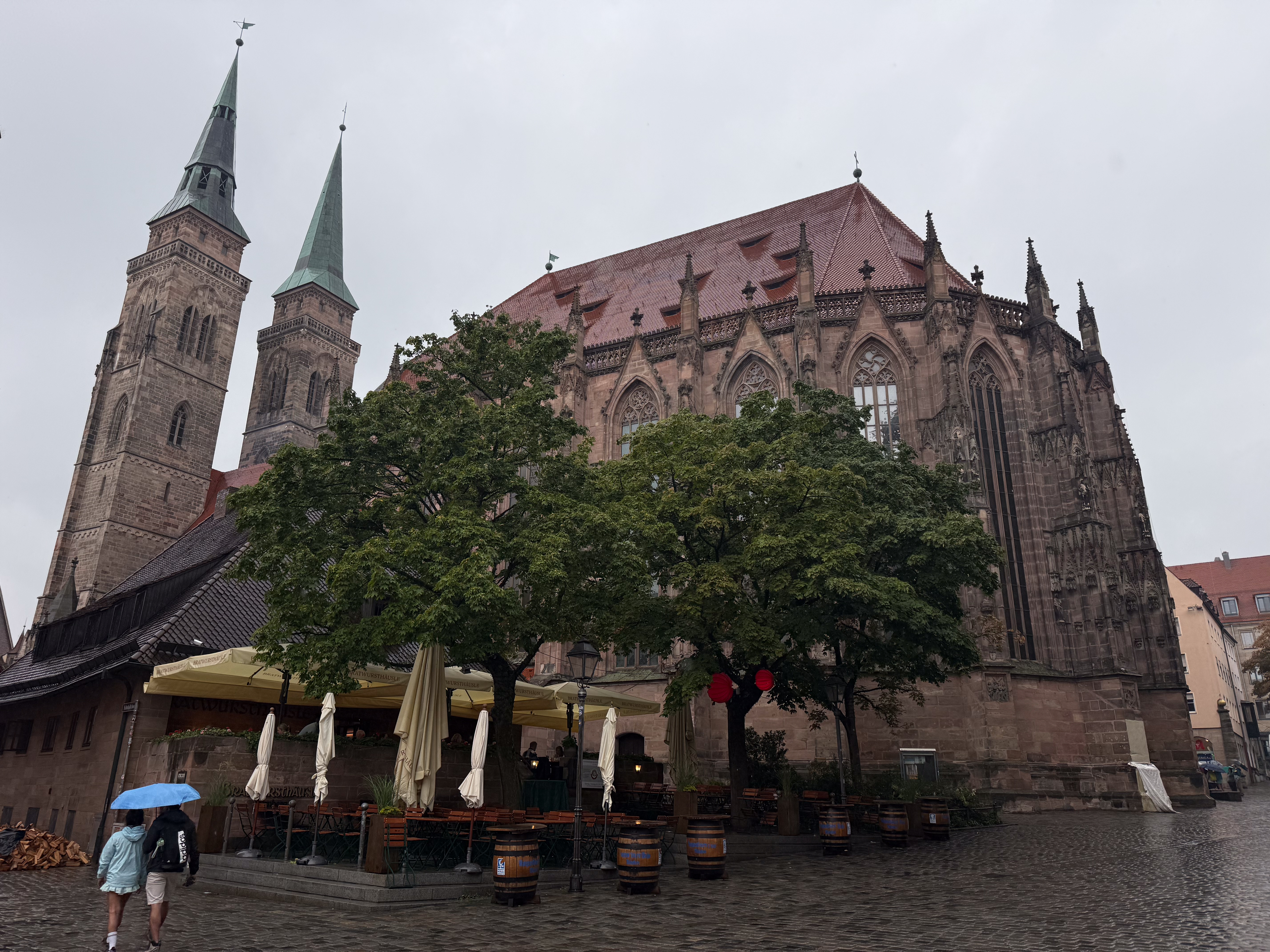
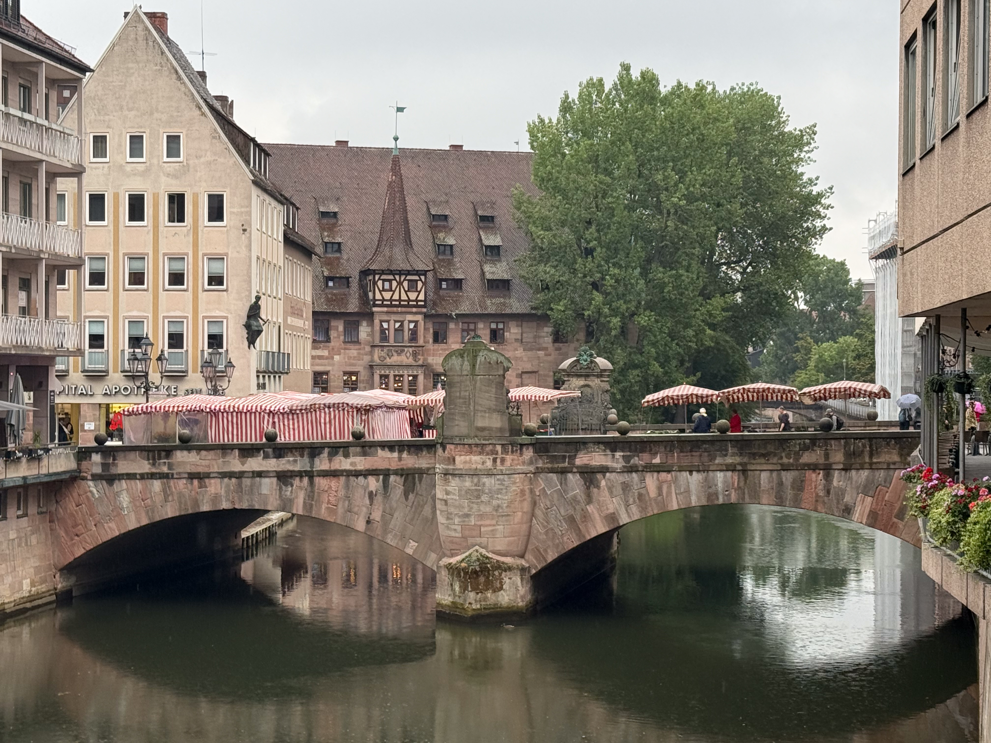
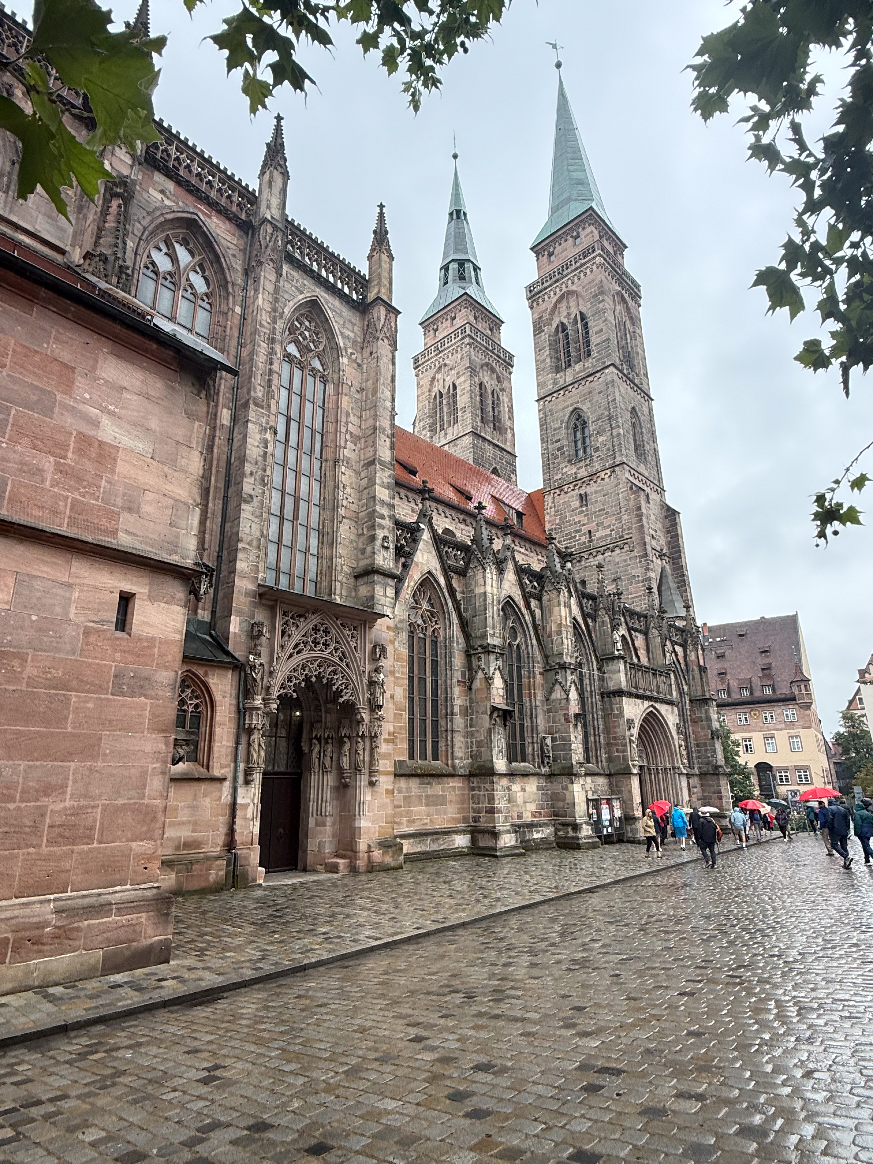
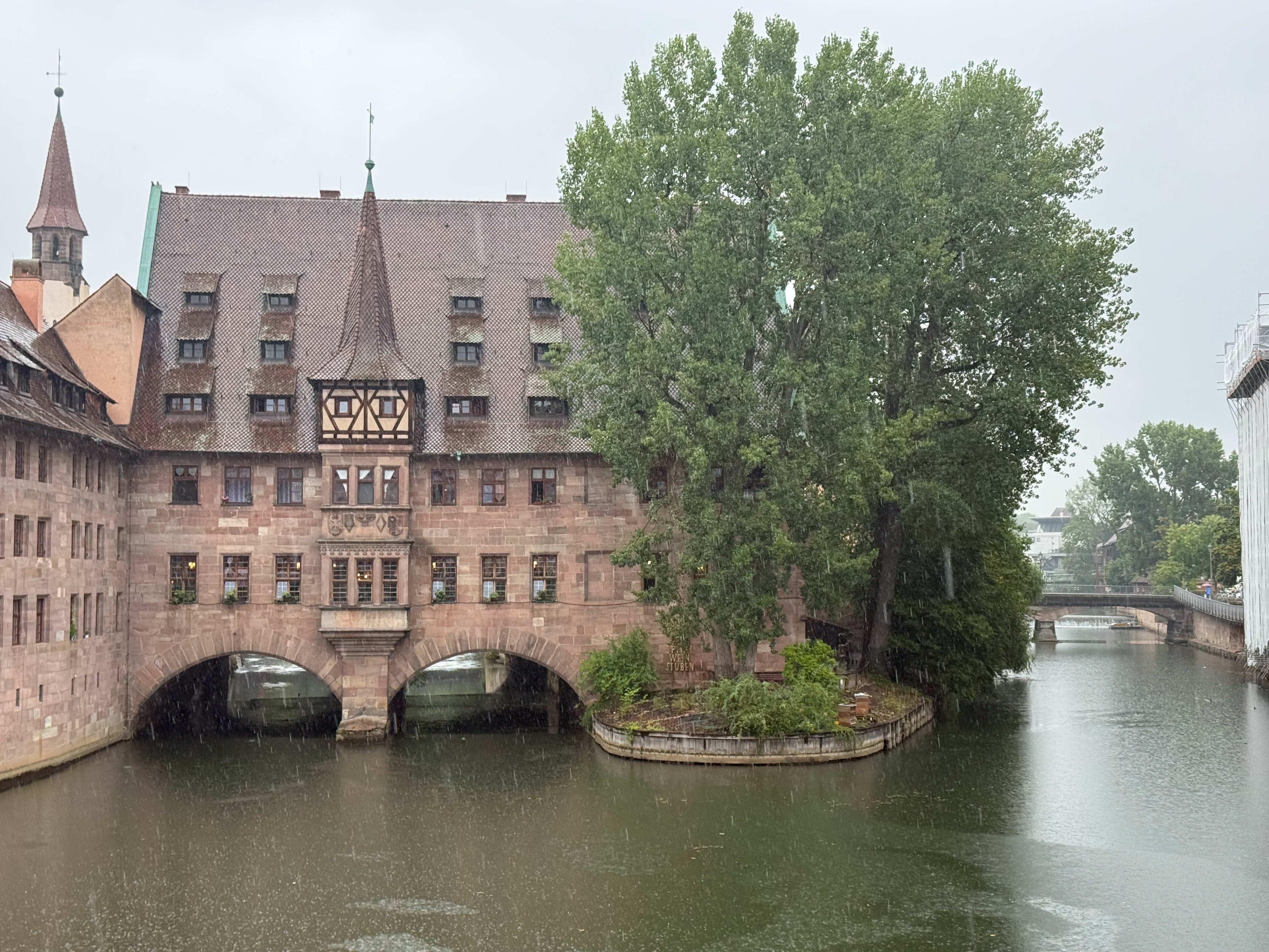
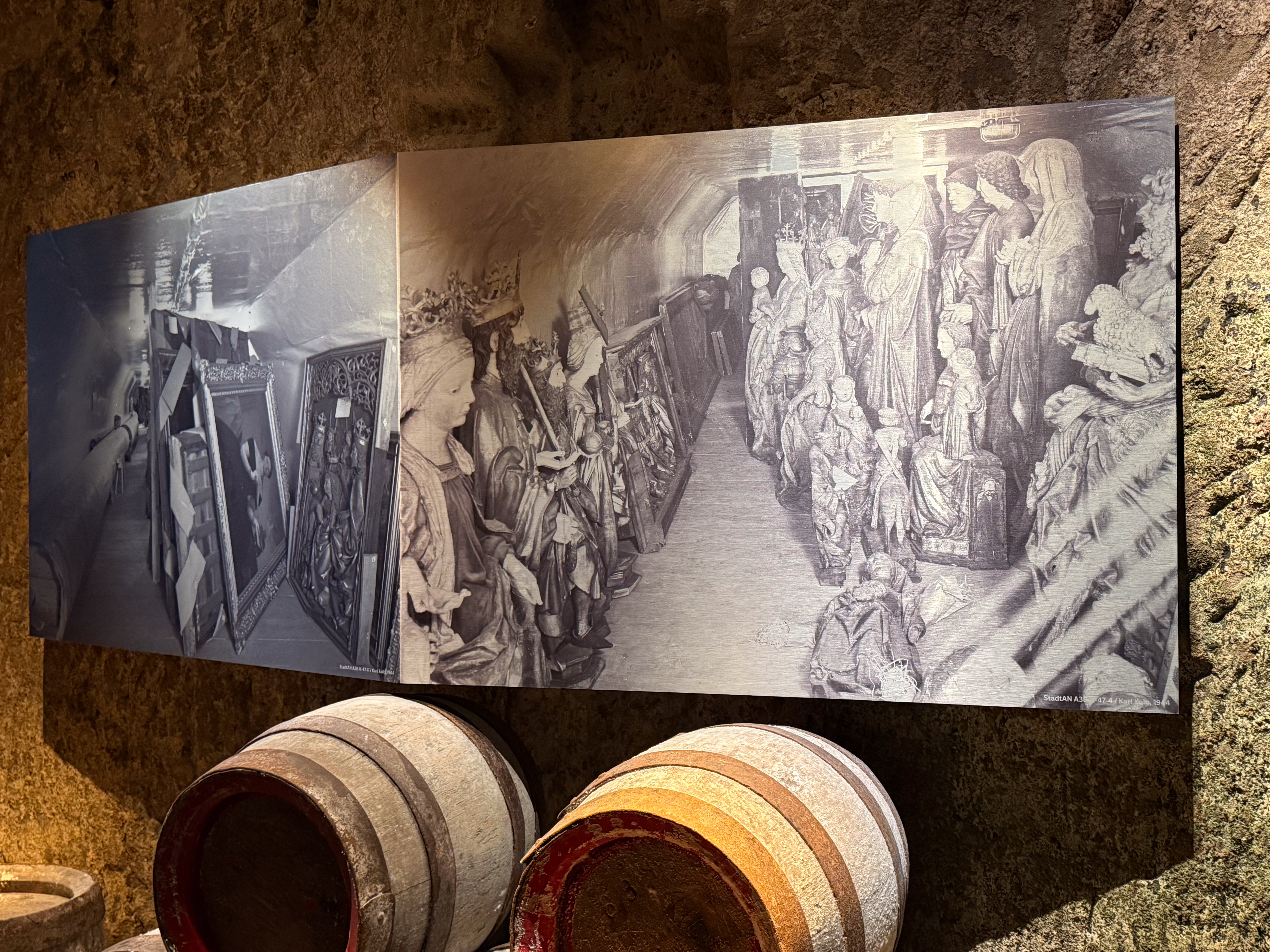
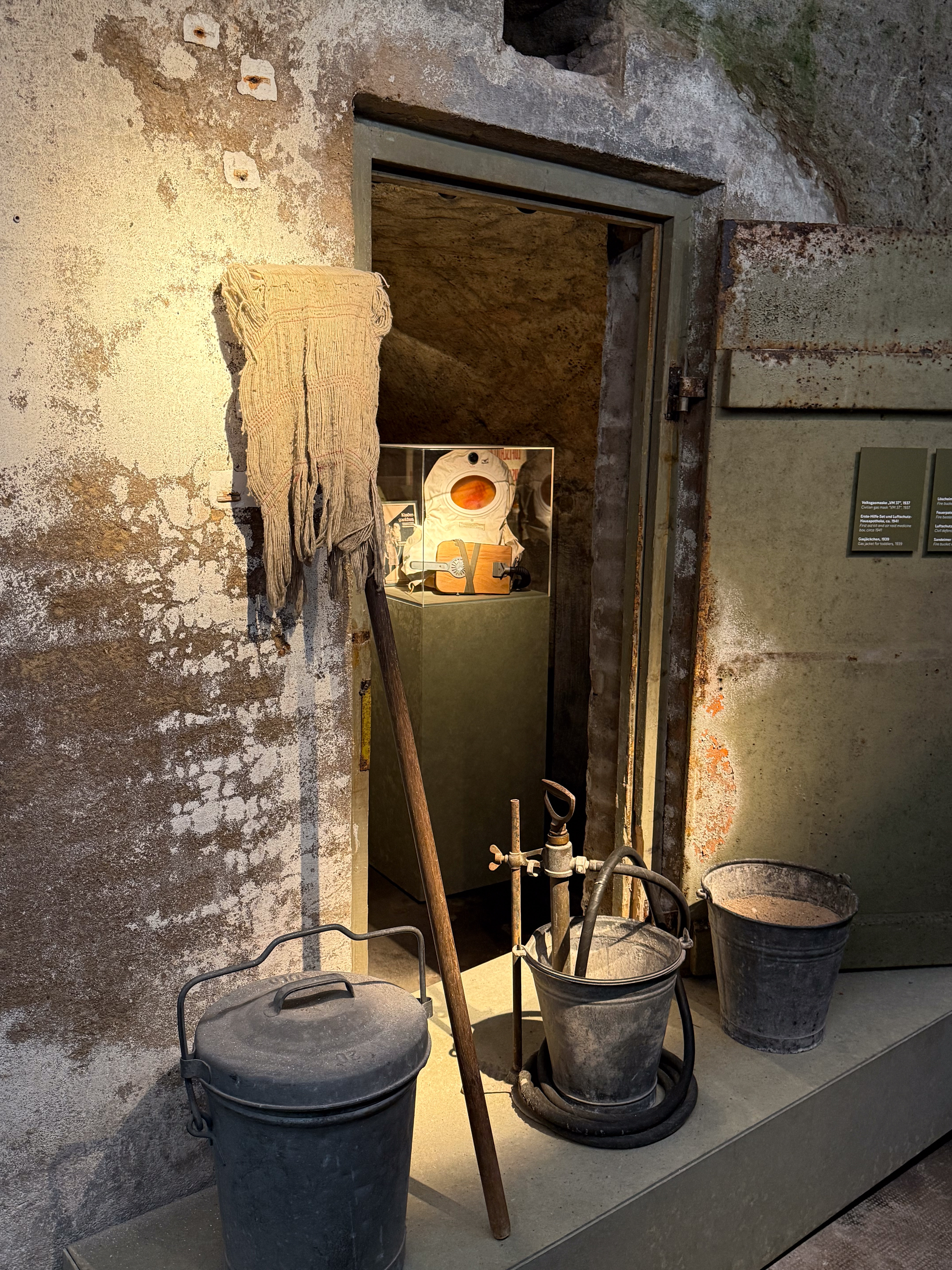
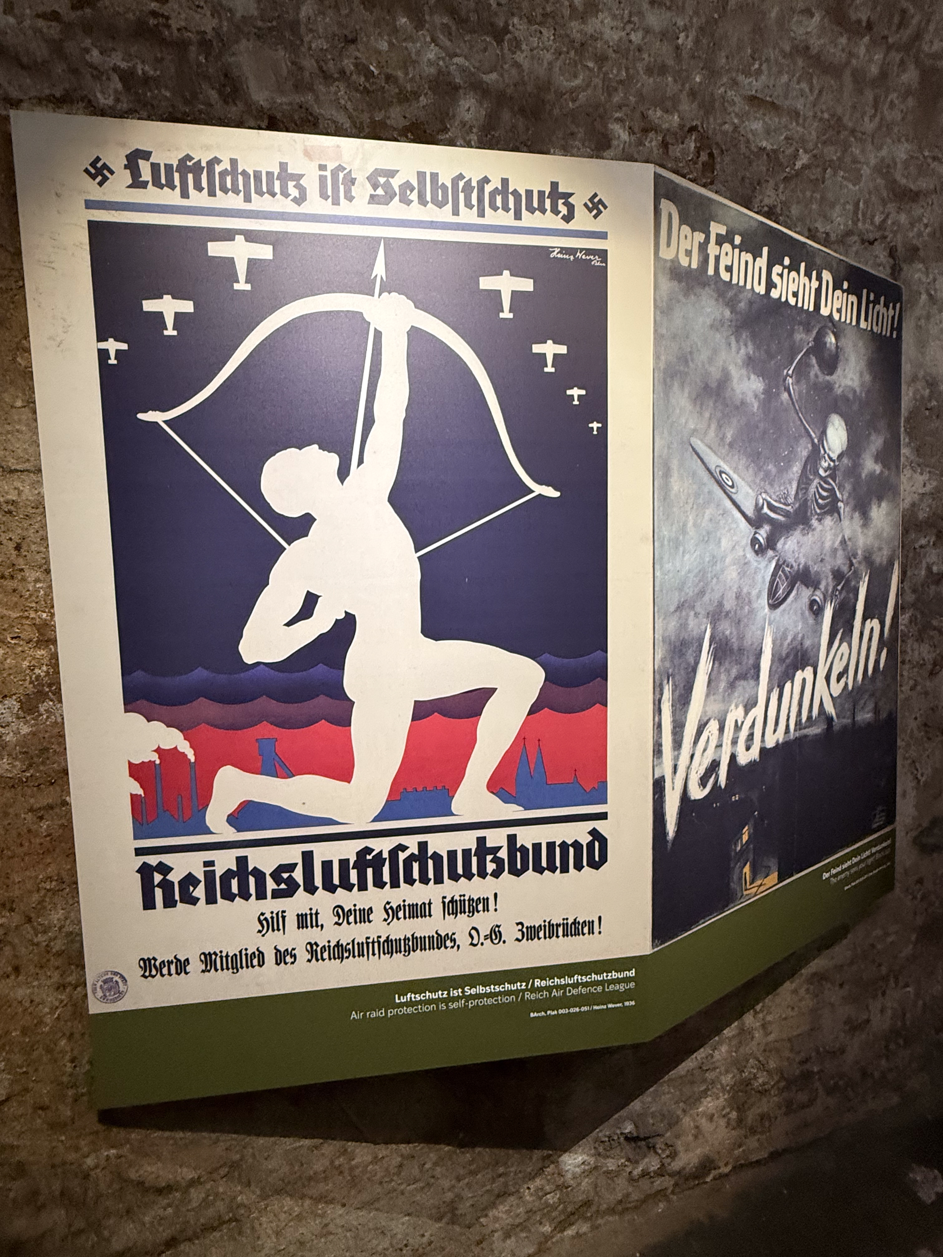
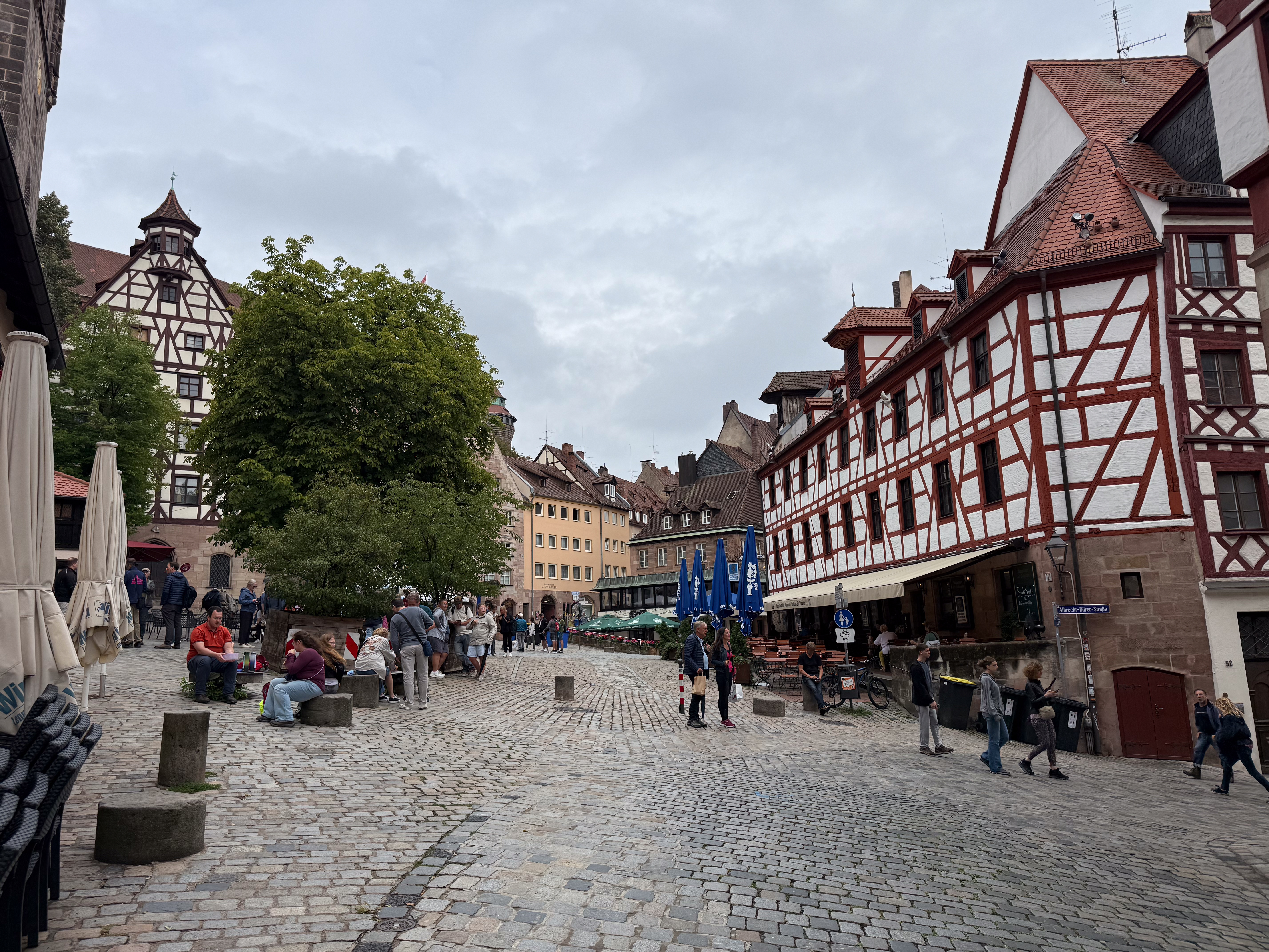
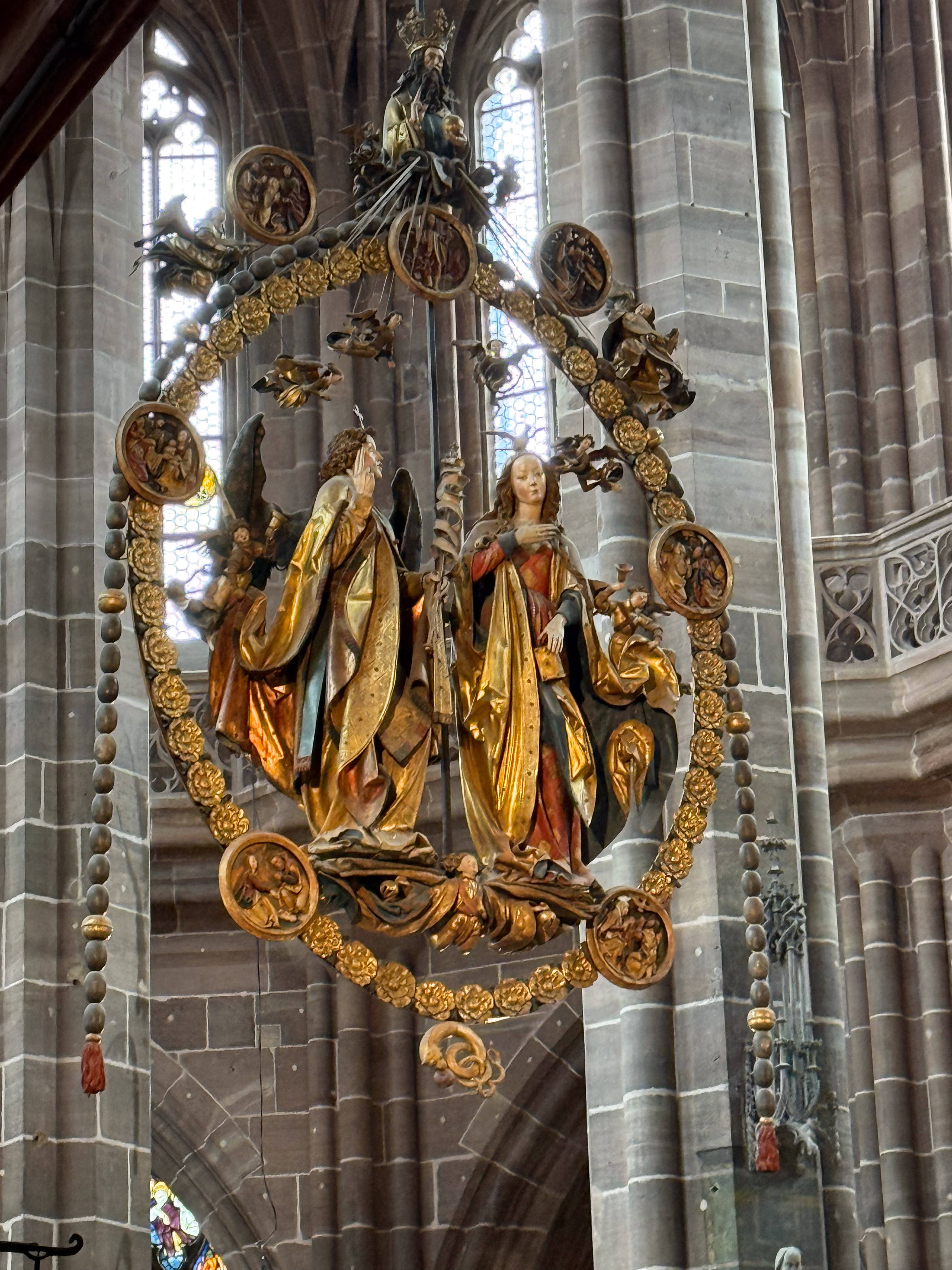
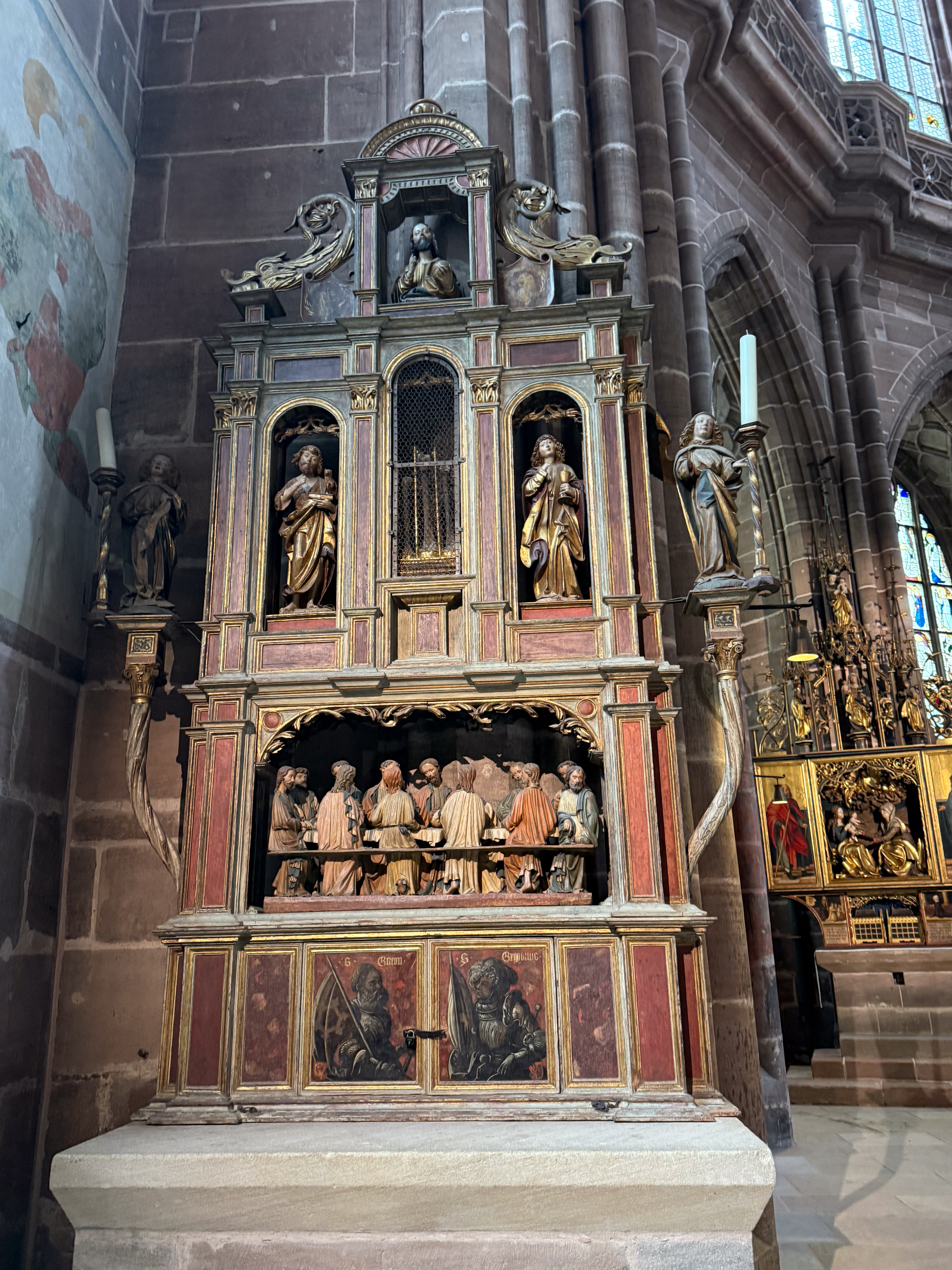
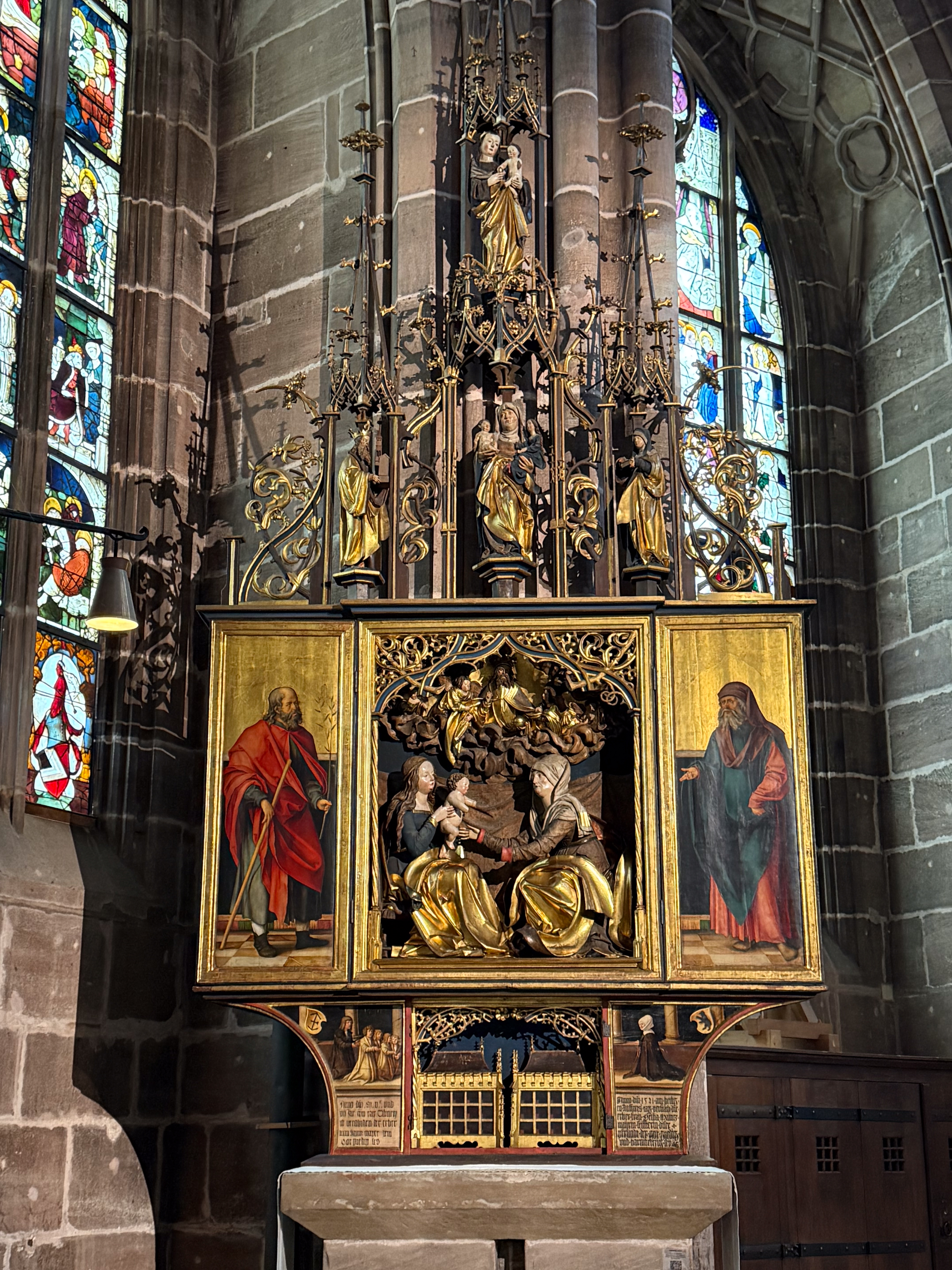
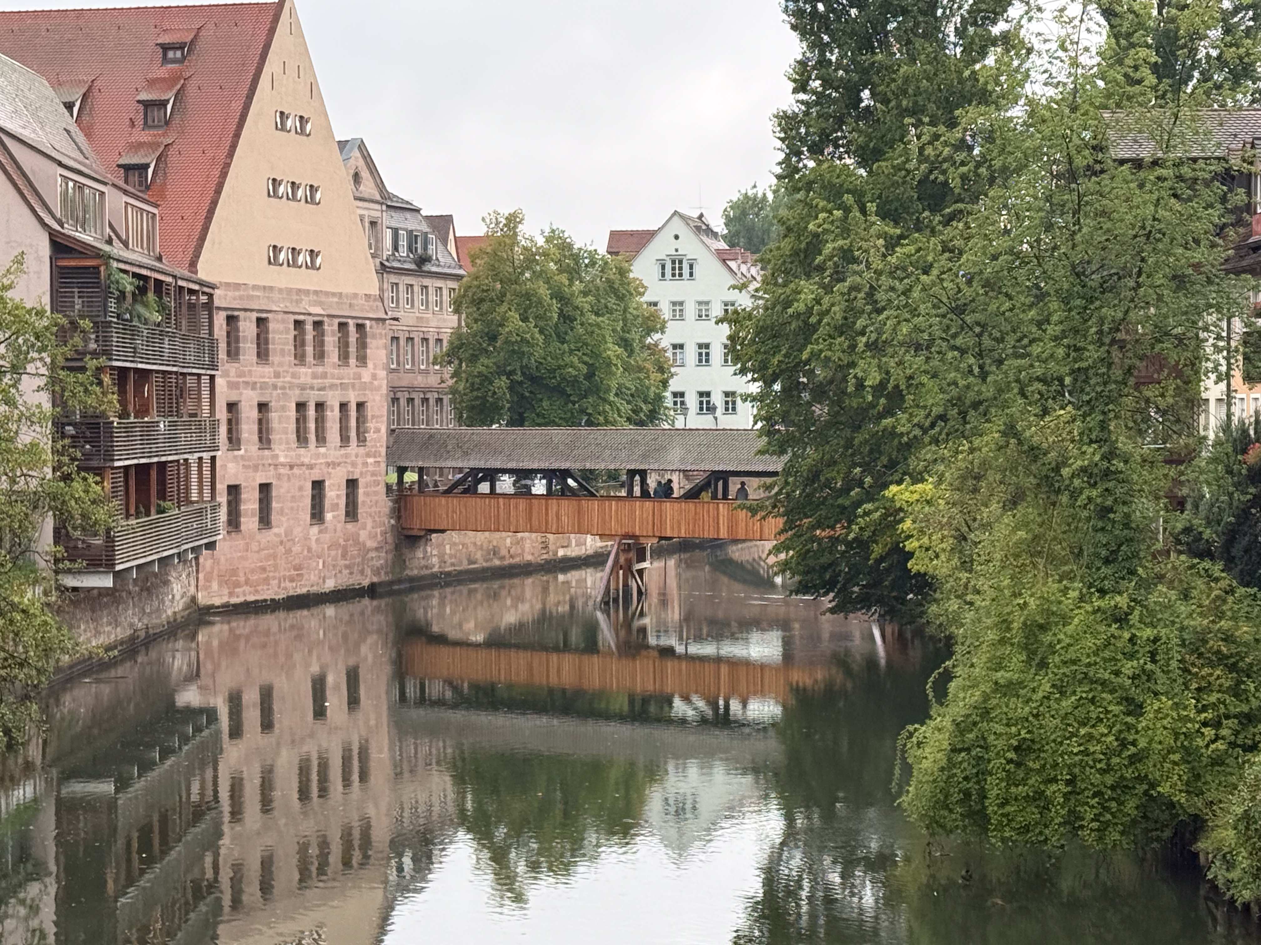
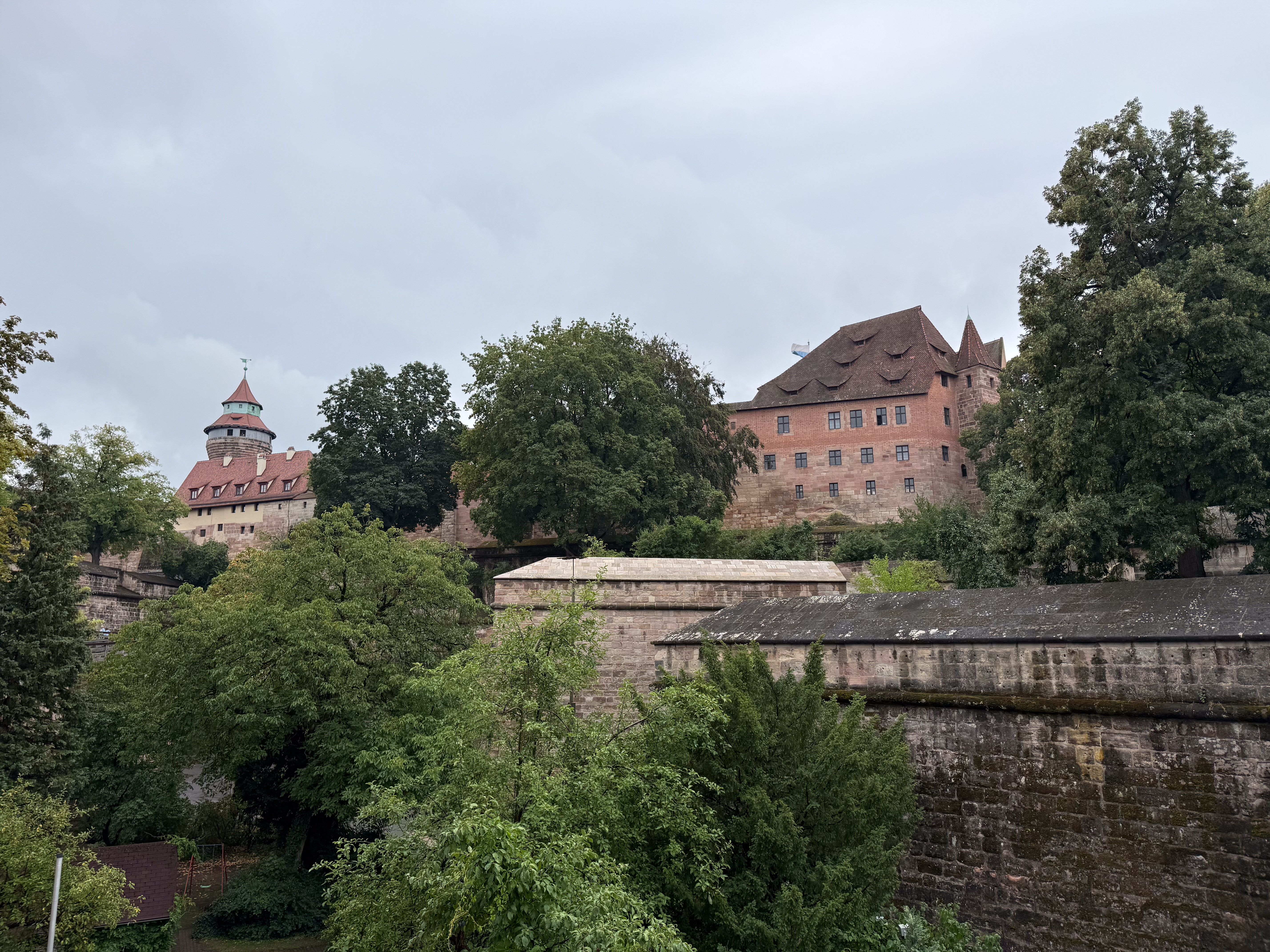
Nuremberg is the second-largest city in Bavaria, filled with traditional half-timbered houses and Gothic churches with intricate spires. Nearly totally destroyed during WW 2, the remaining medieval city walls, built in the 14th century, stretch almost 3 miles and feature original gateways and over 80 watchtowers. Nuremberg is well known for its metalwork and toy craftsmanship. But it is infamously known for its role in WW2, first as the site of Zeppelin Field’s Naxi ralliies and later the site of war crimes trials at the Palace of Justice. The Imperial Castle (Kaiserburg) was one of the most important fortified palaces of the Holy Roman Empire. The central market square is home to the “Beautiful Fountain,” a 19-meter-tall Gothic spire. We also toured the Historischer Kunstbunker (Art Bunker), deep under castle hill; these medieval beer cellars were converted into a high-tech bunker during WWII to protect Europe’s most priceless art (looted by the Nazis) from Allied bombings. Finally, the ship survived a special appetizer made by a guest sous chef.

We are back home – thanks for traveling with us – feel free to share this blog with friends. Best to all – Pete

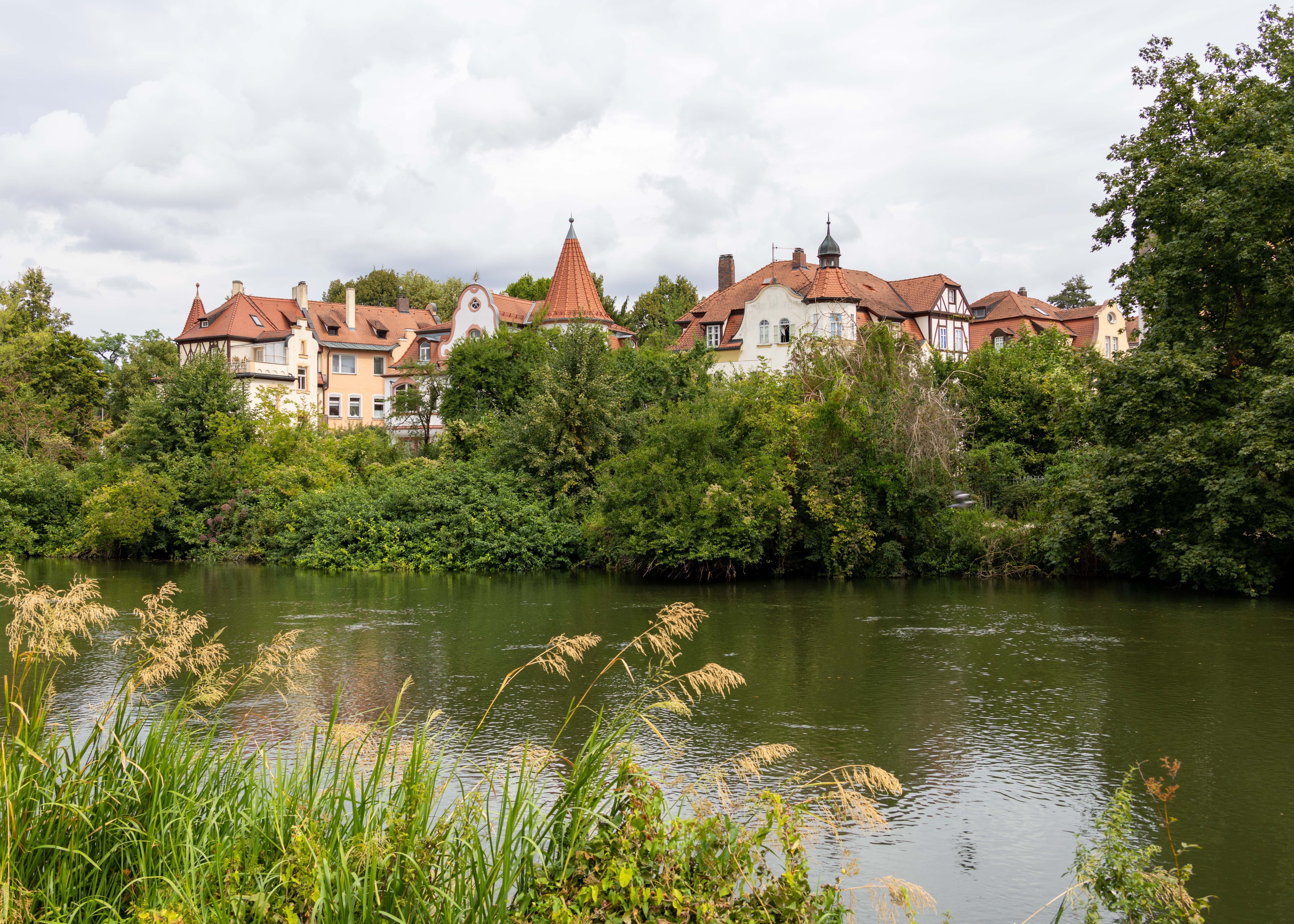
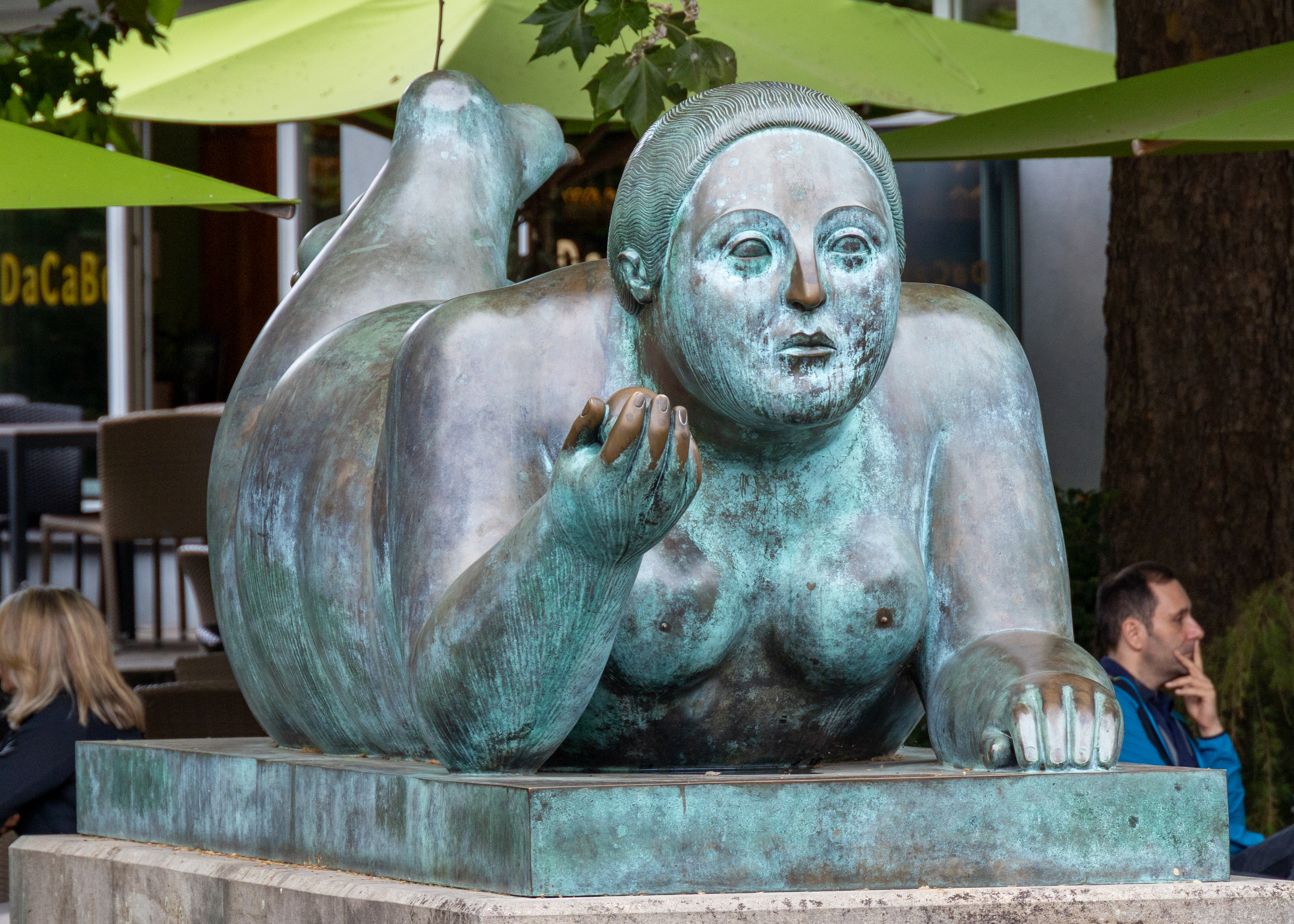
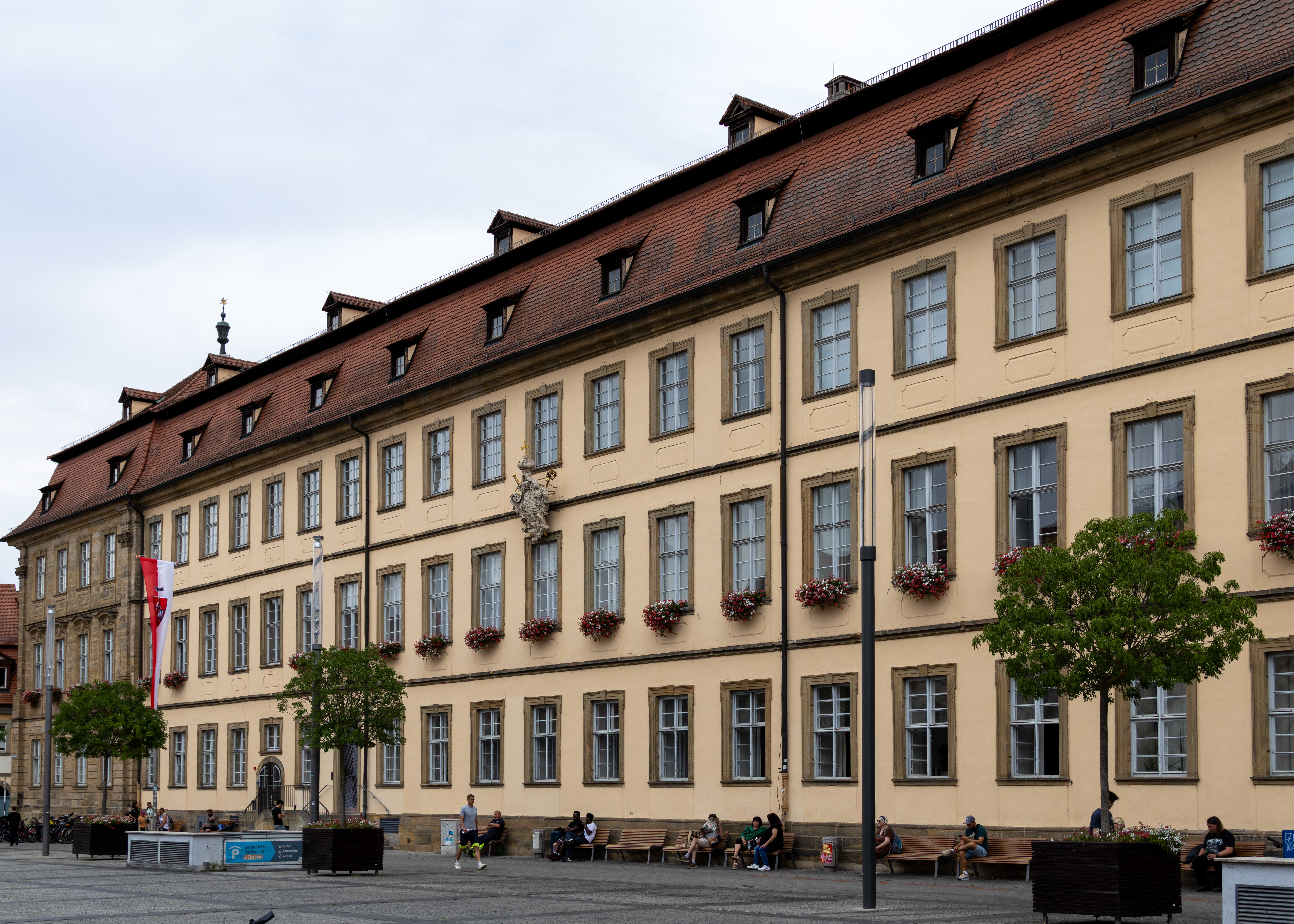
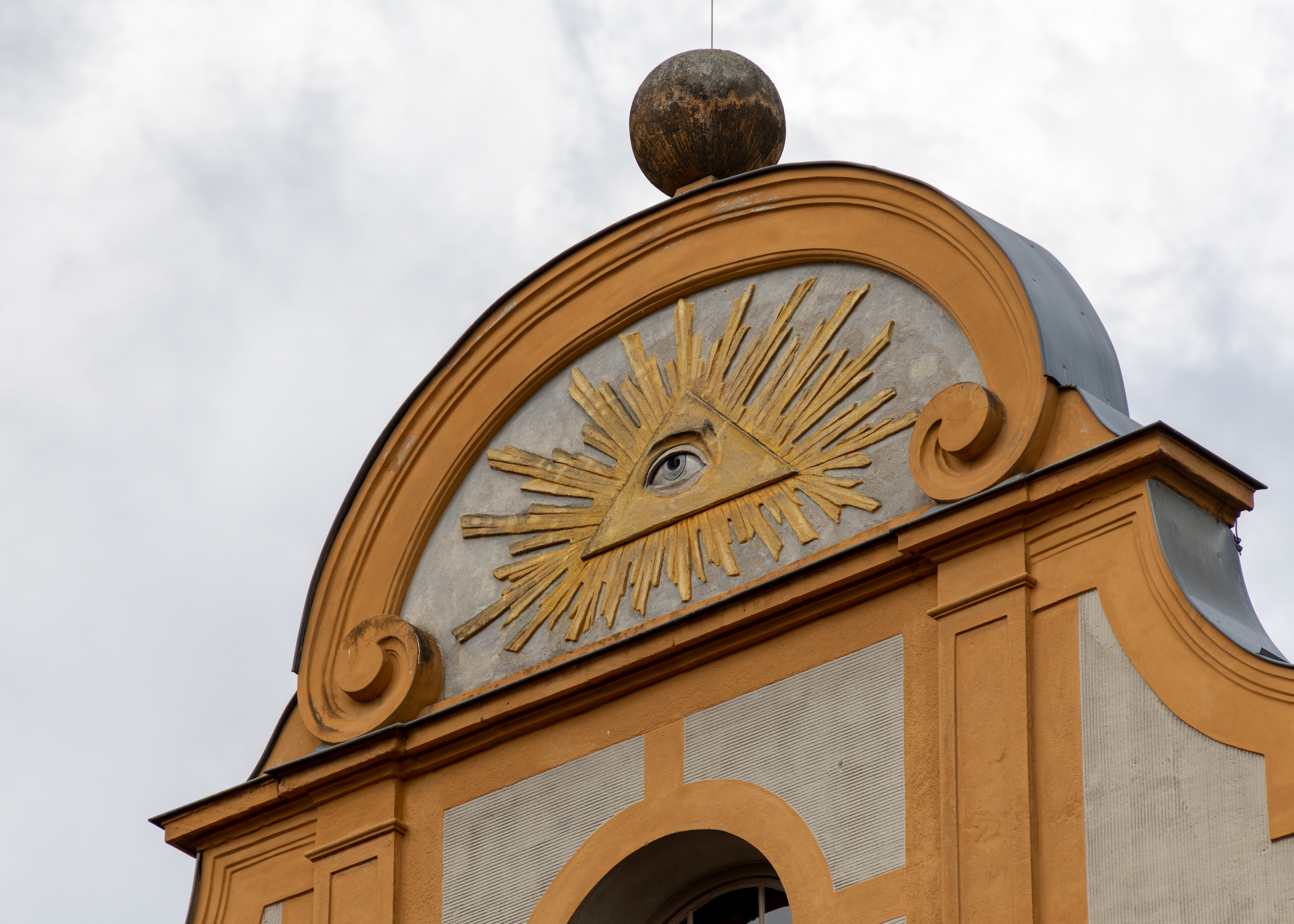
Europe 2026 – Day 12 Bamberg, Germany

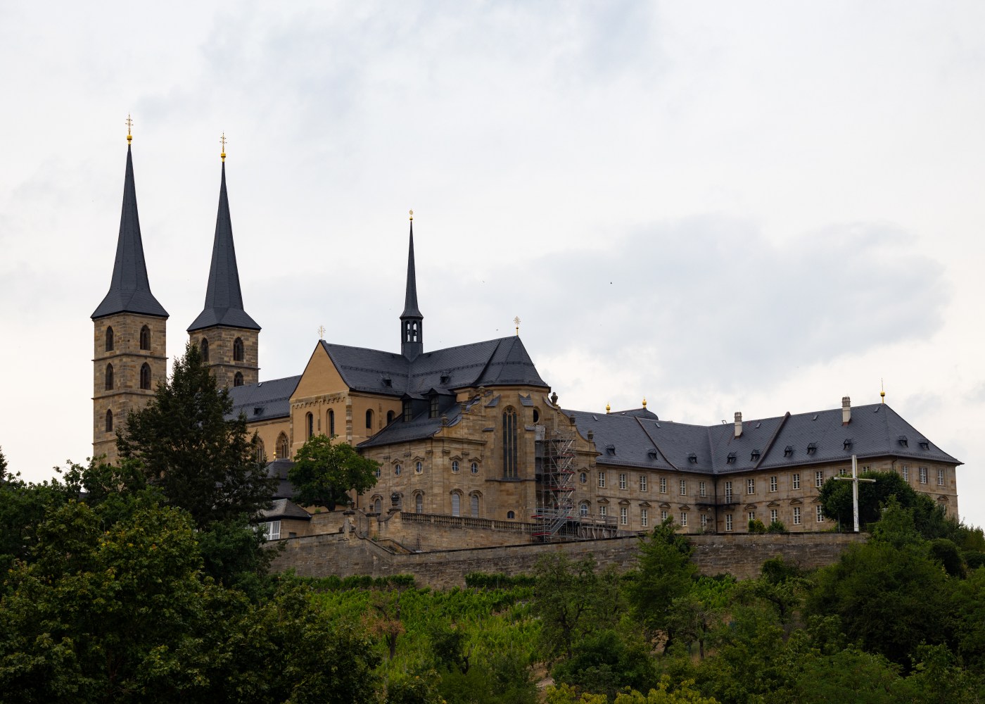
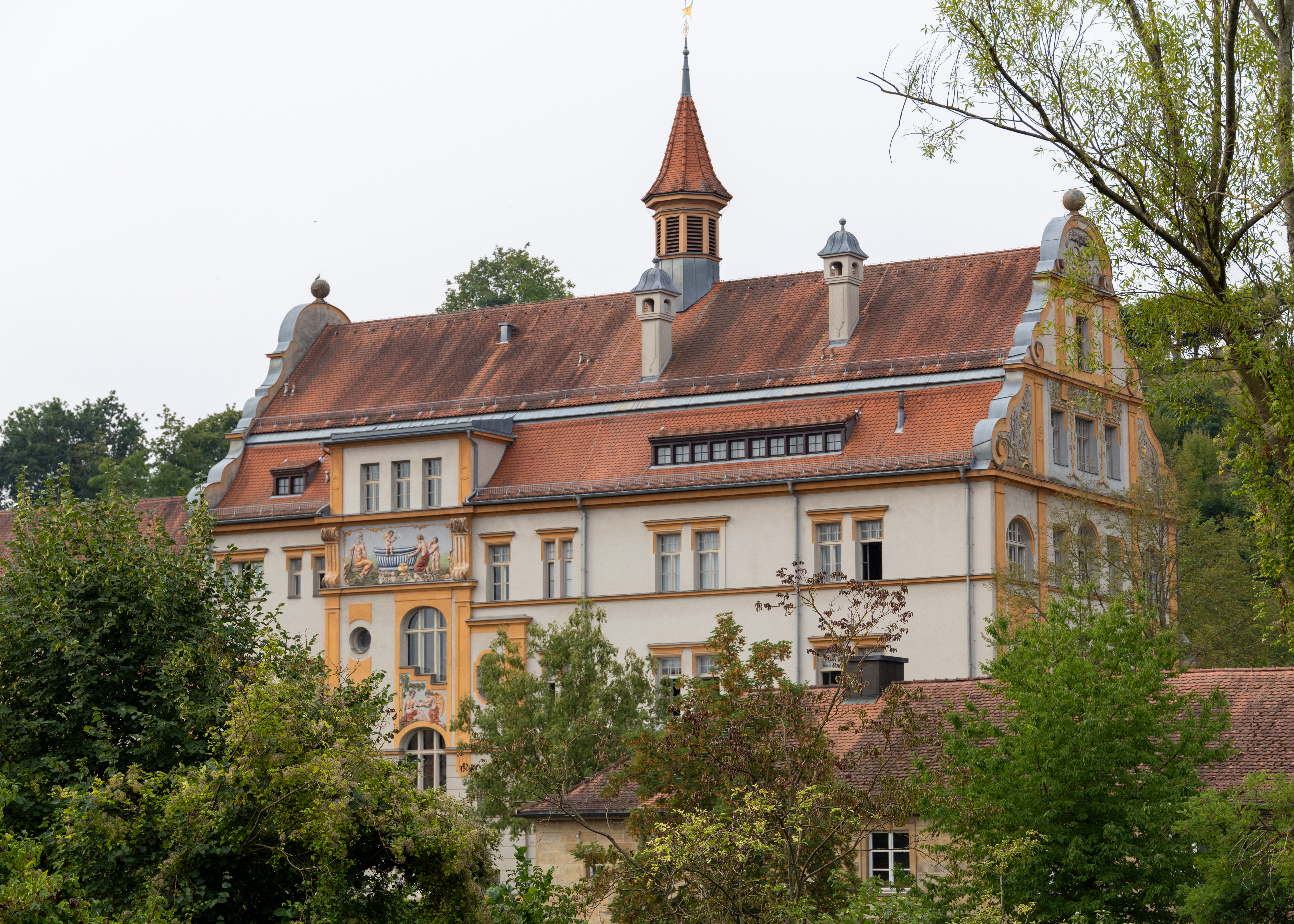
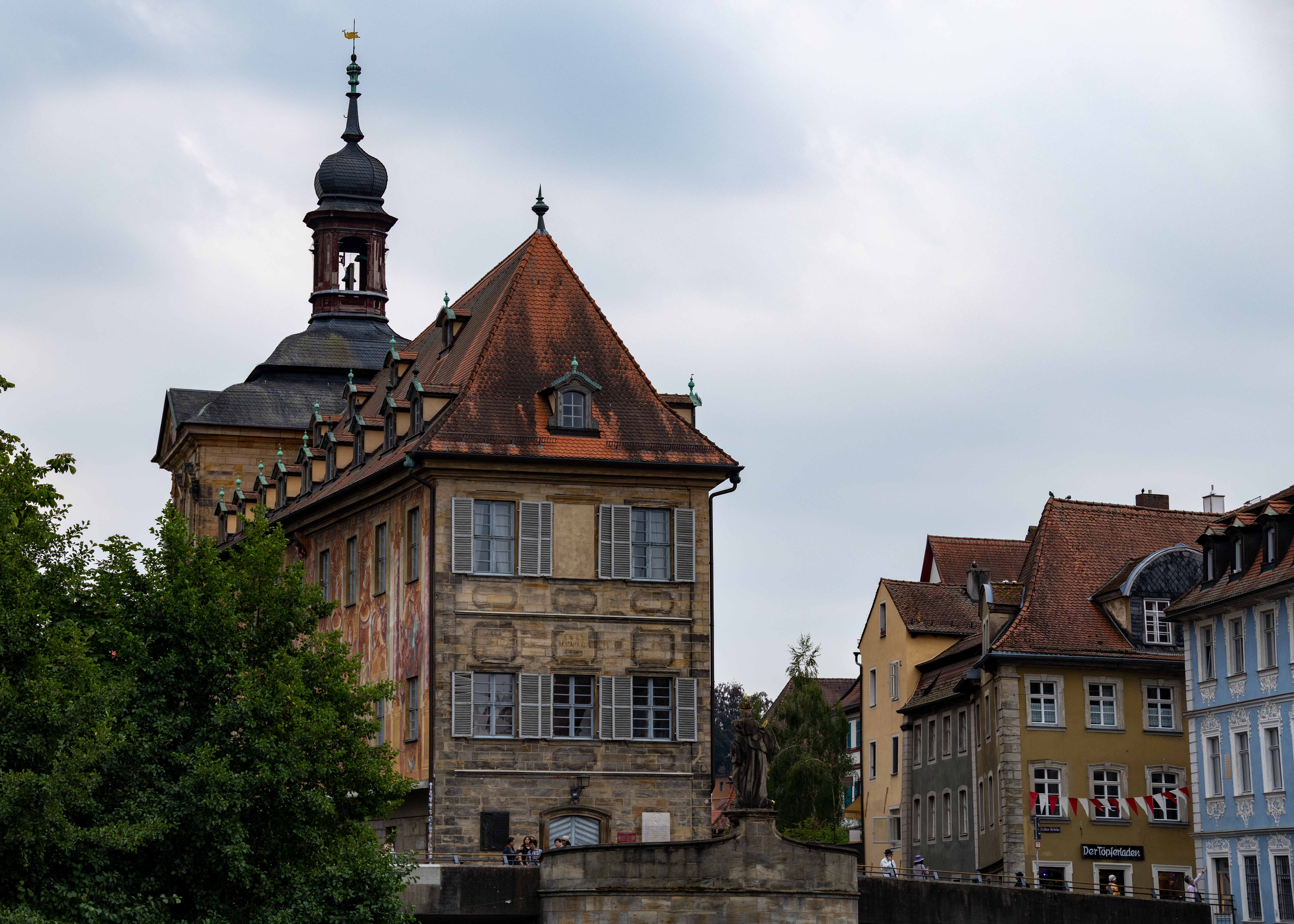
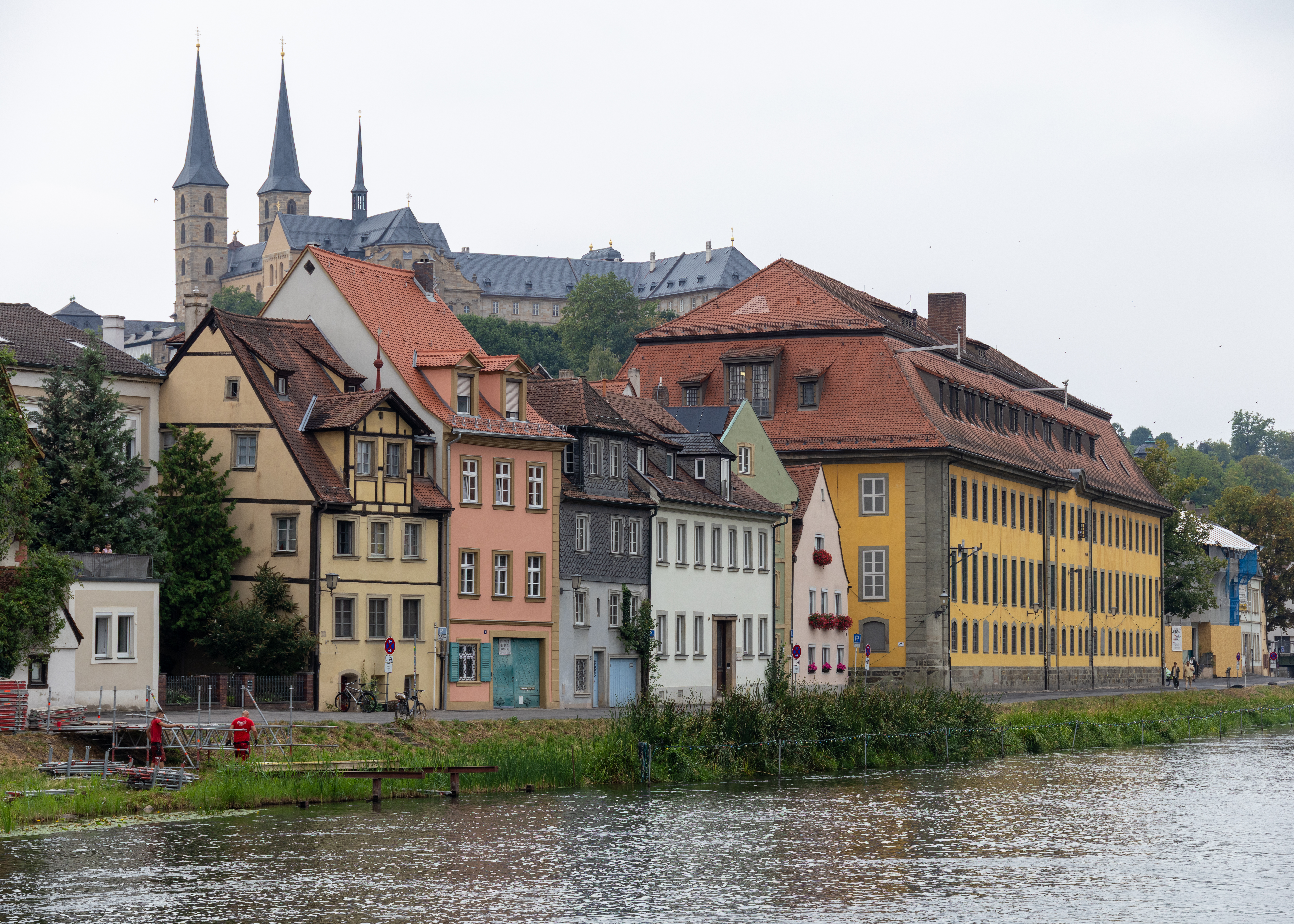
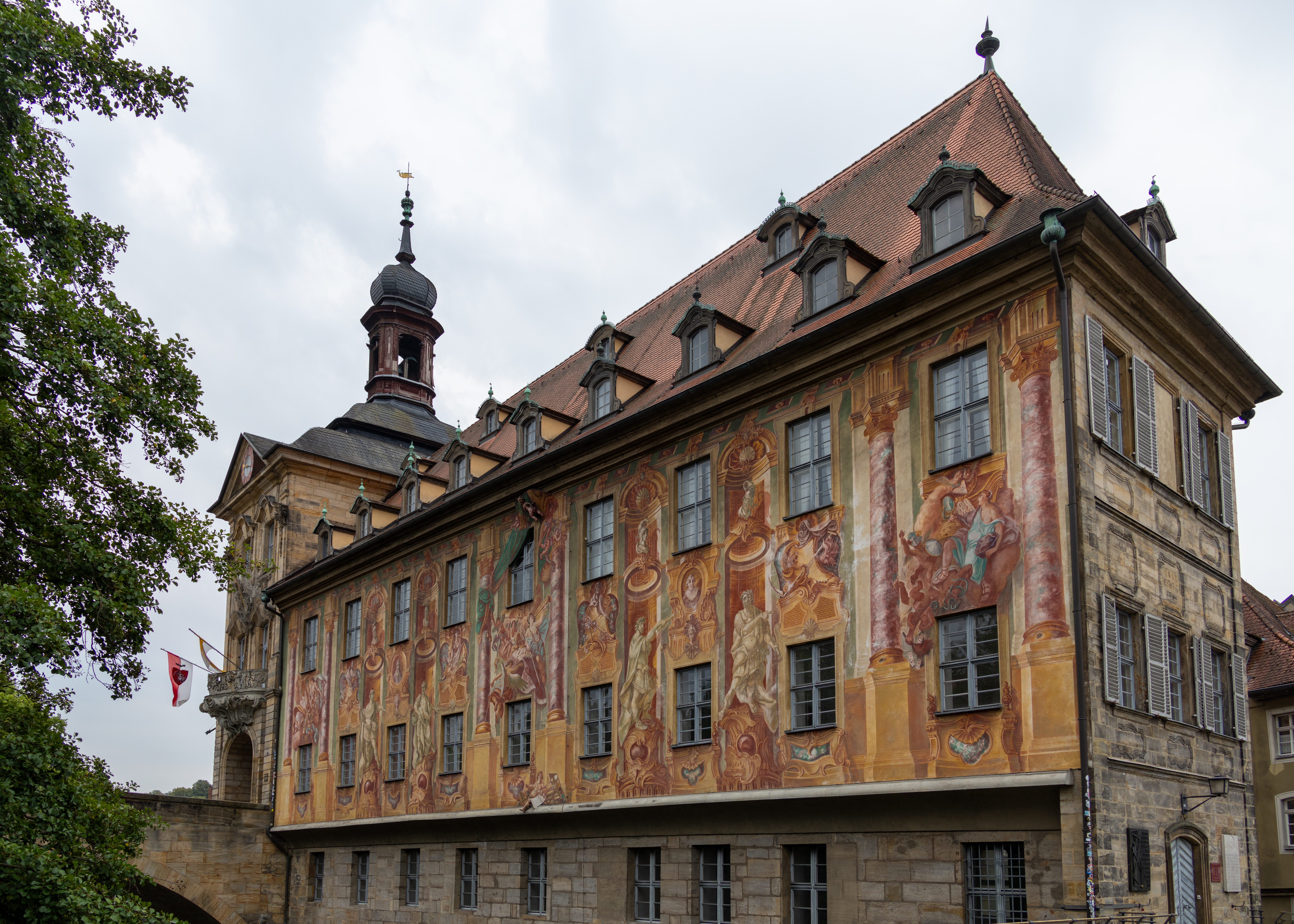
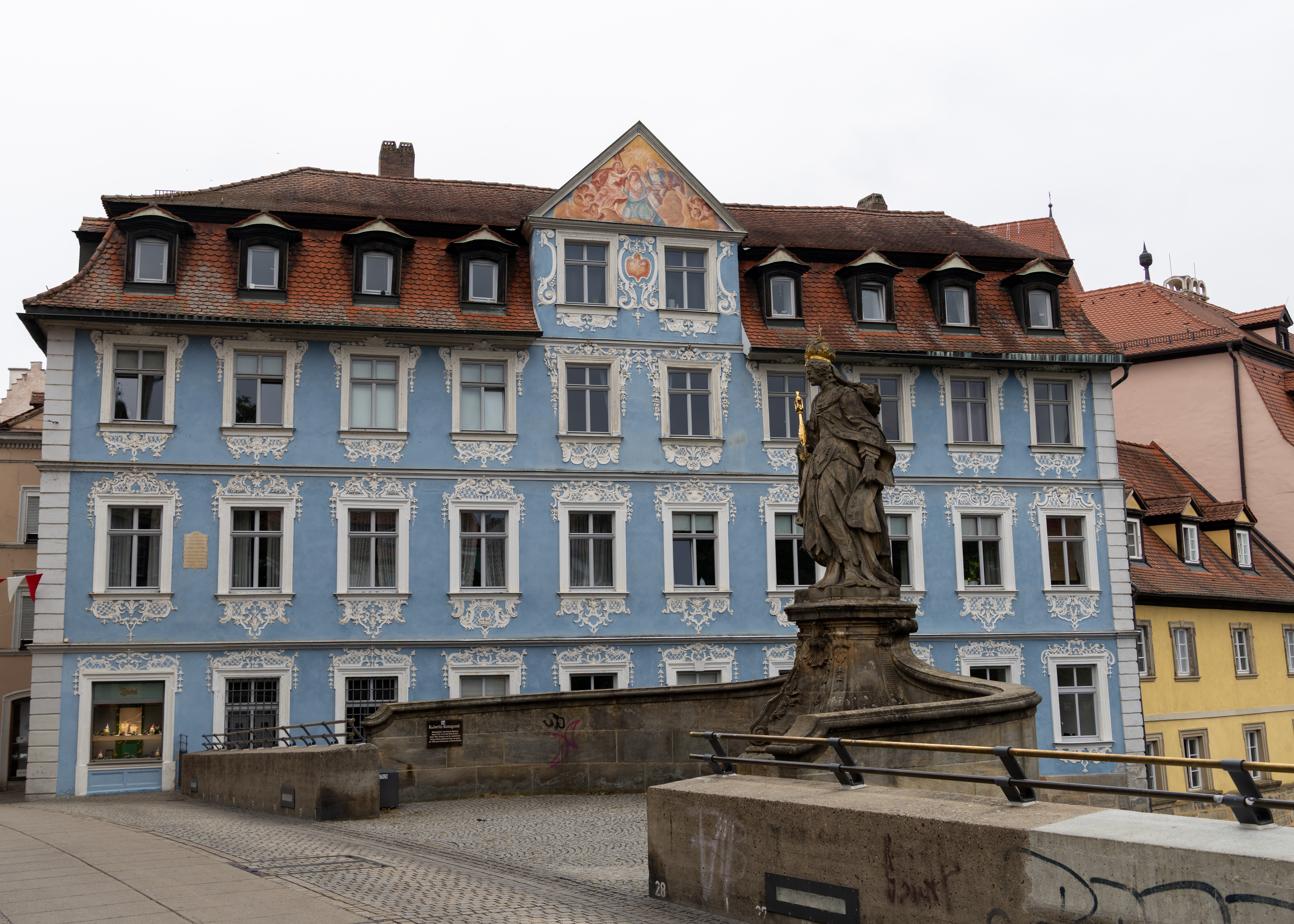
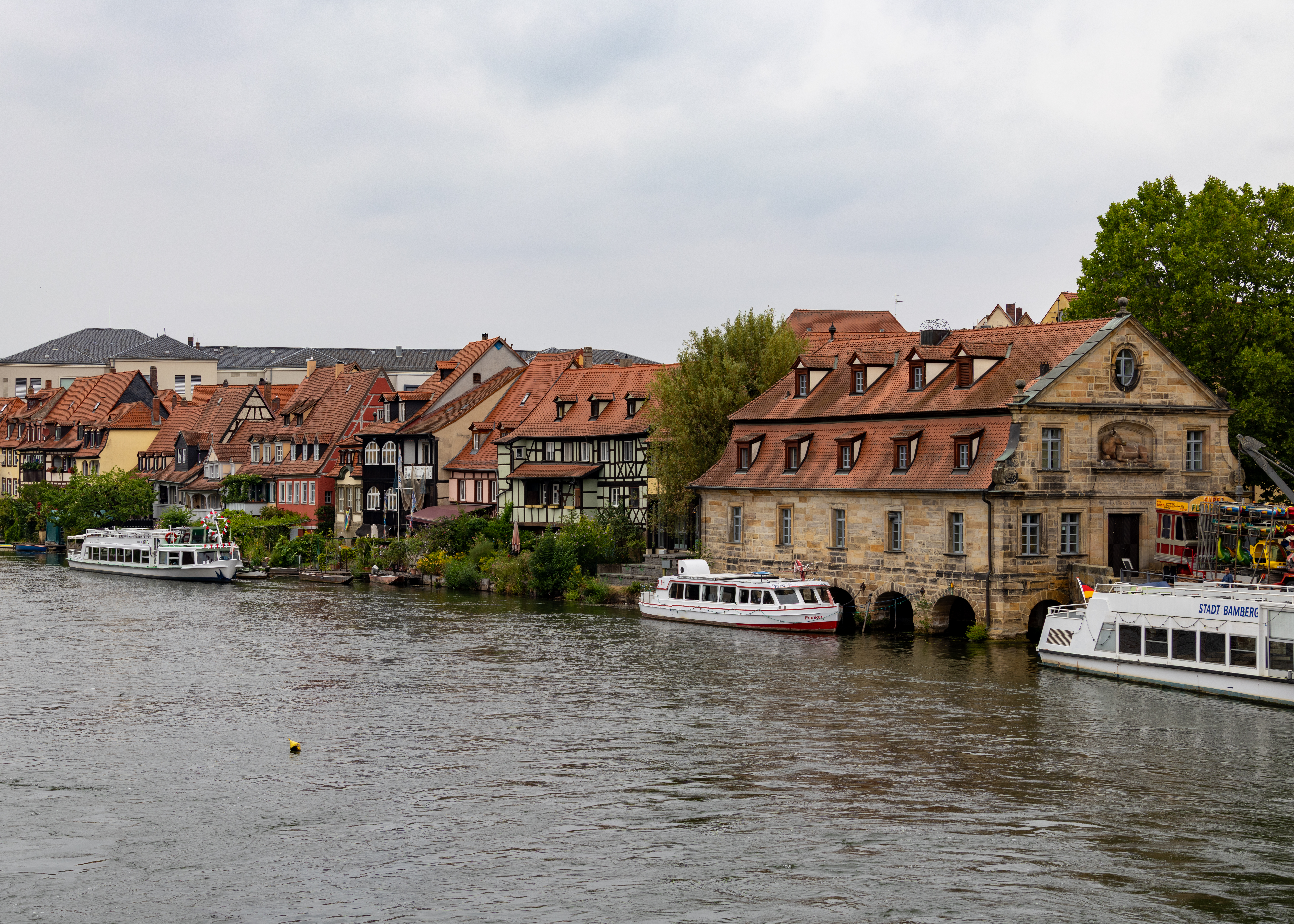
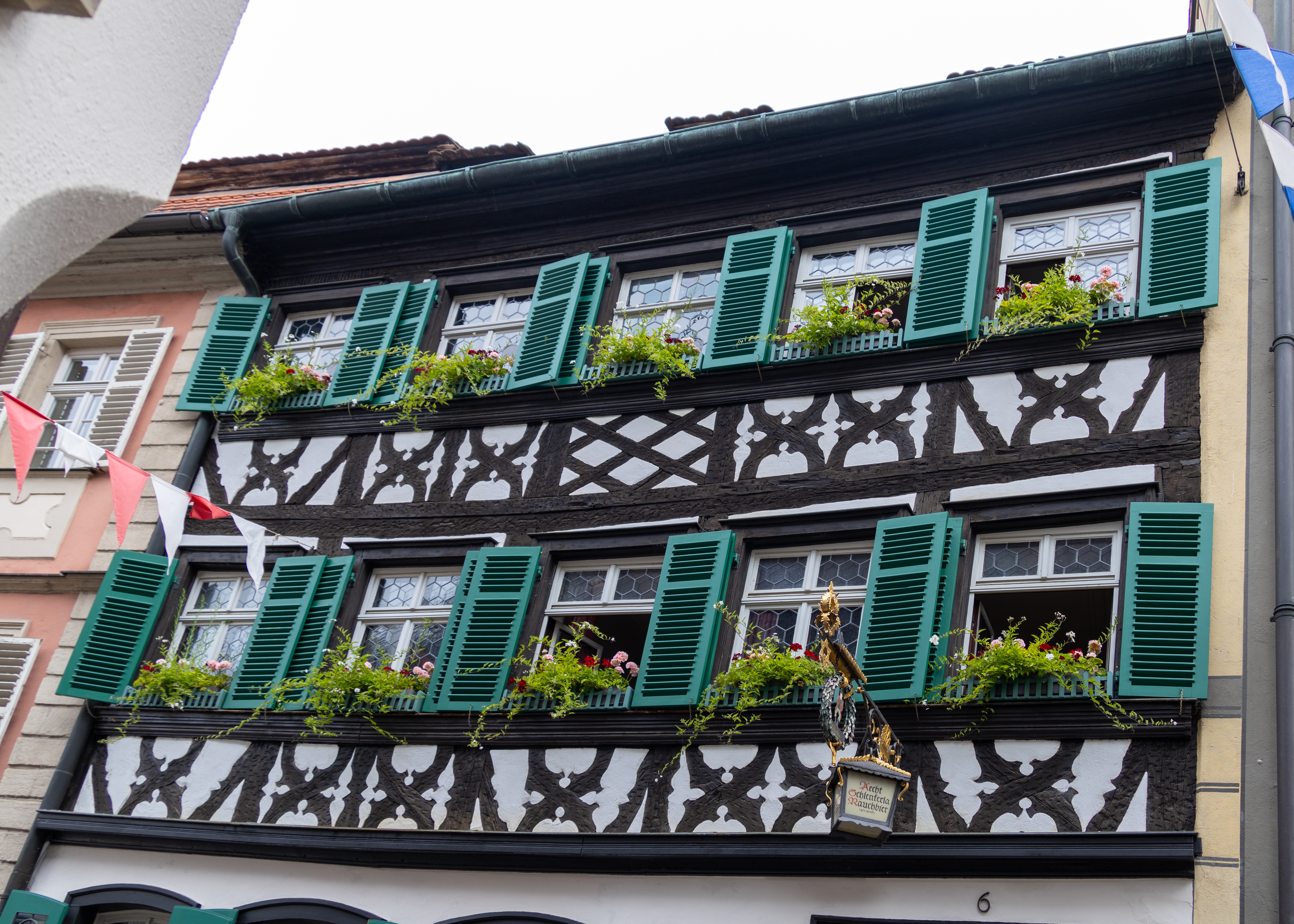
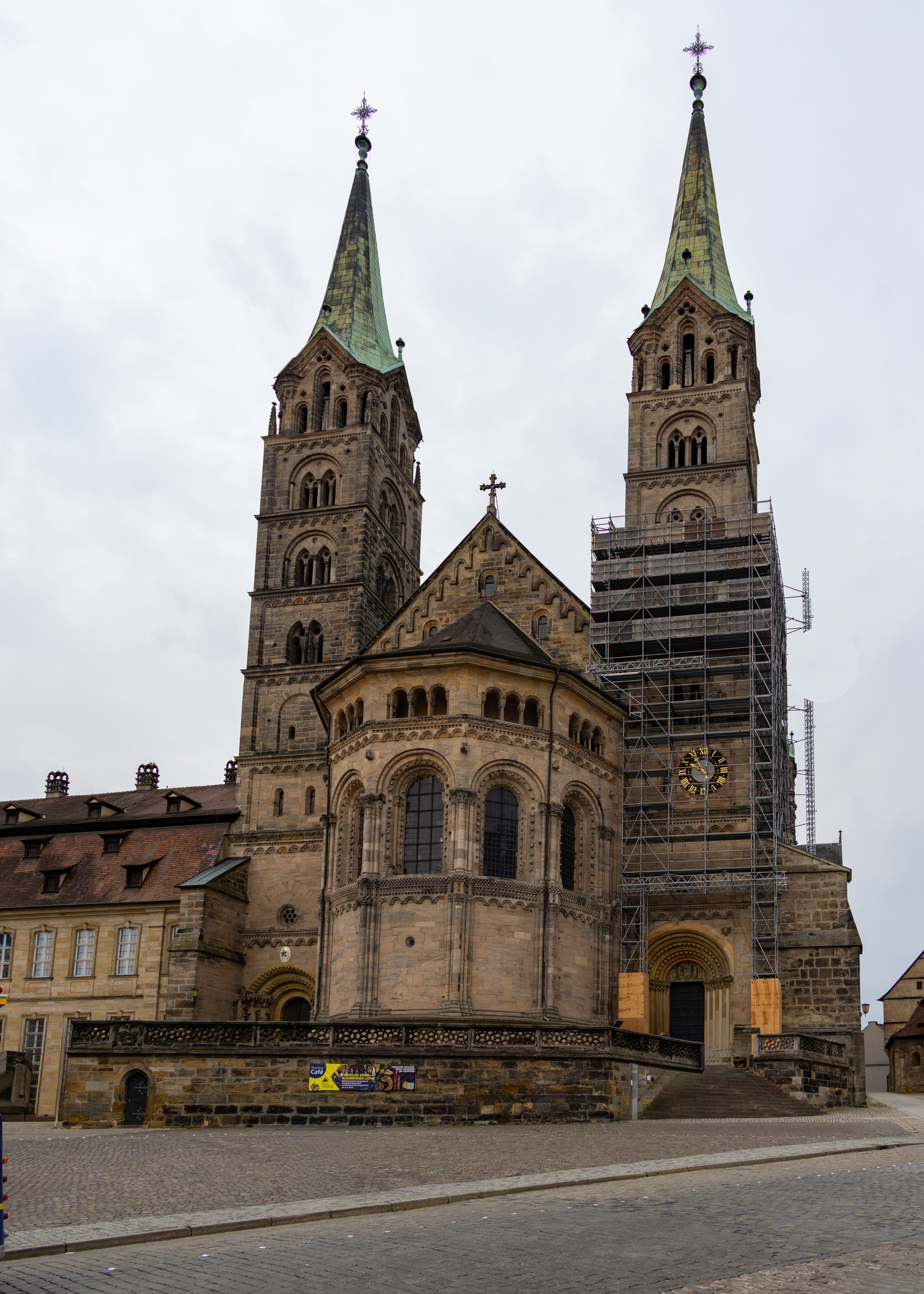
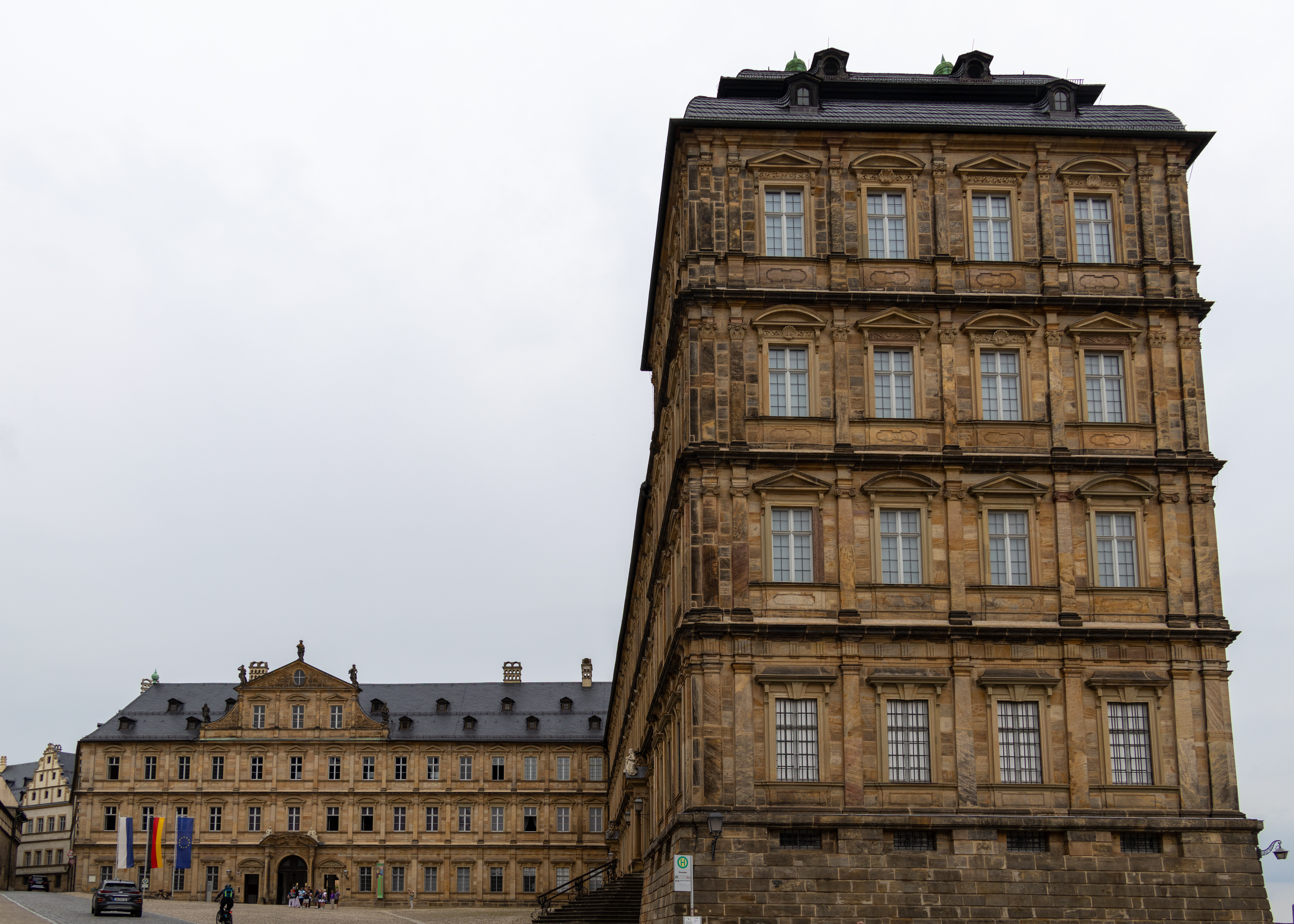
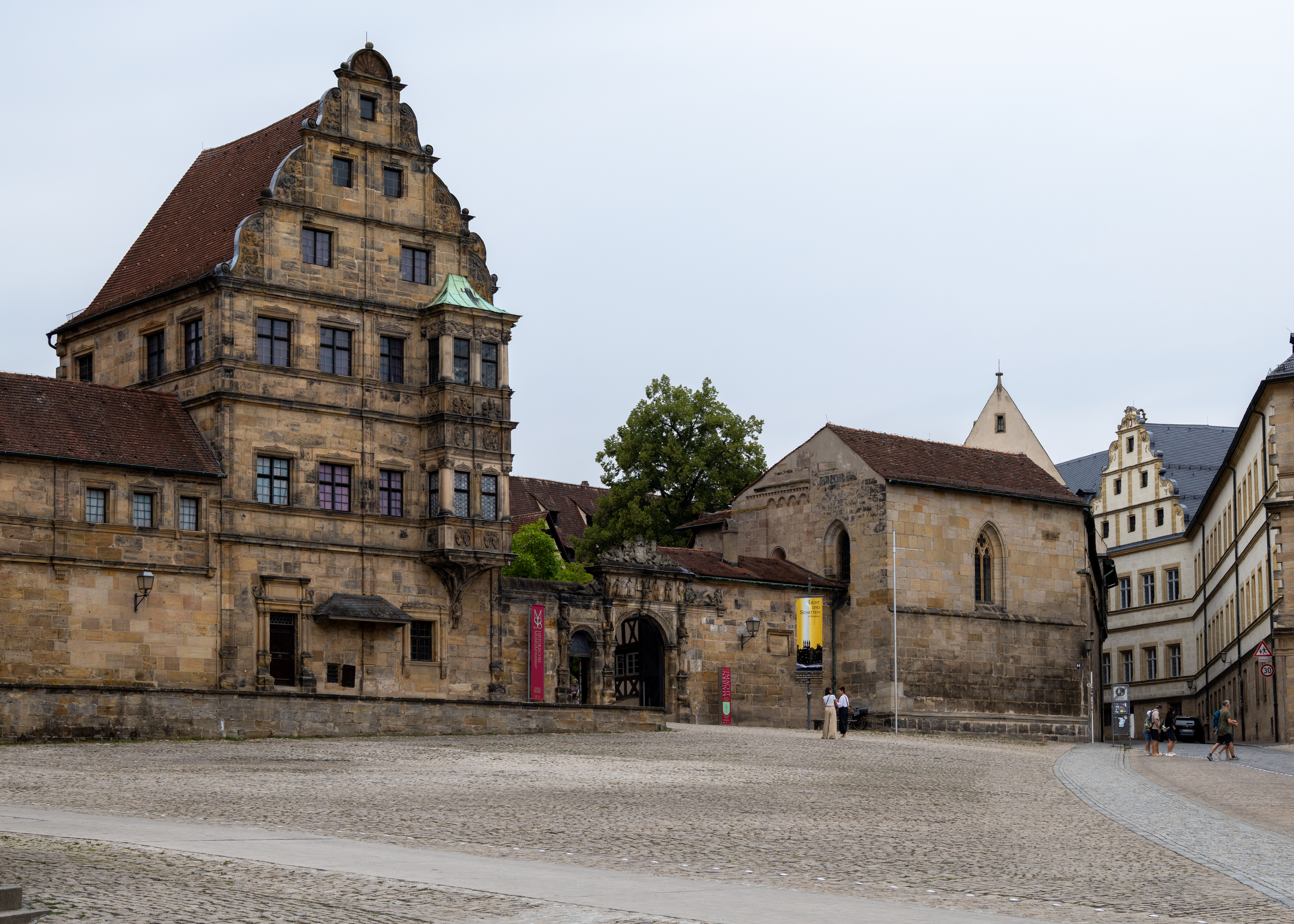
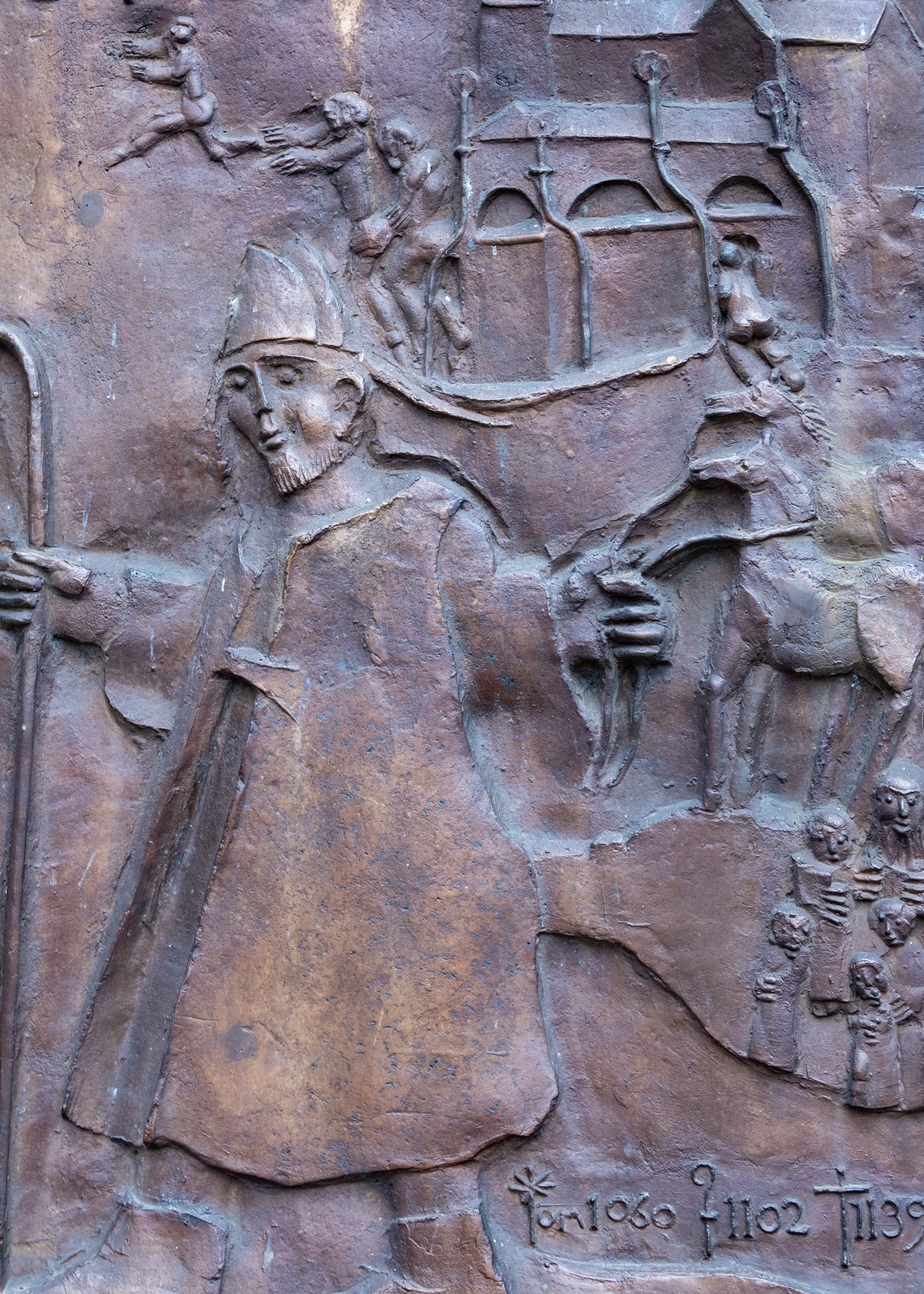
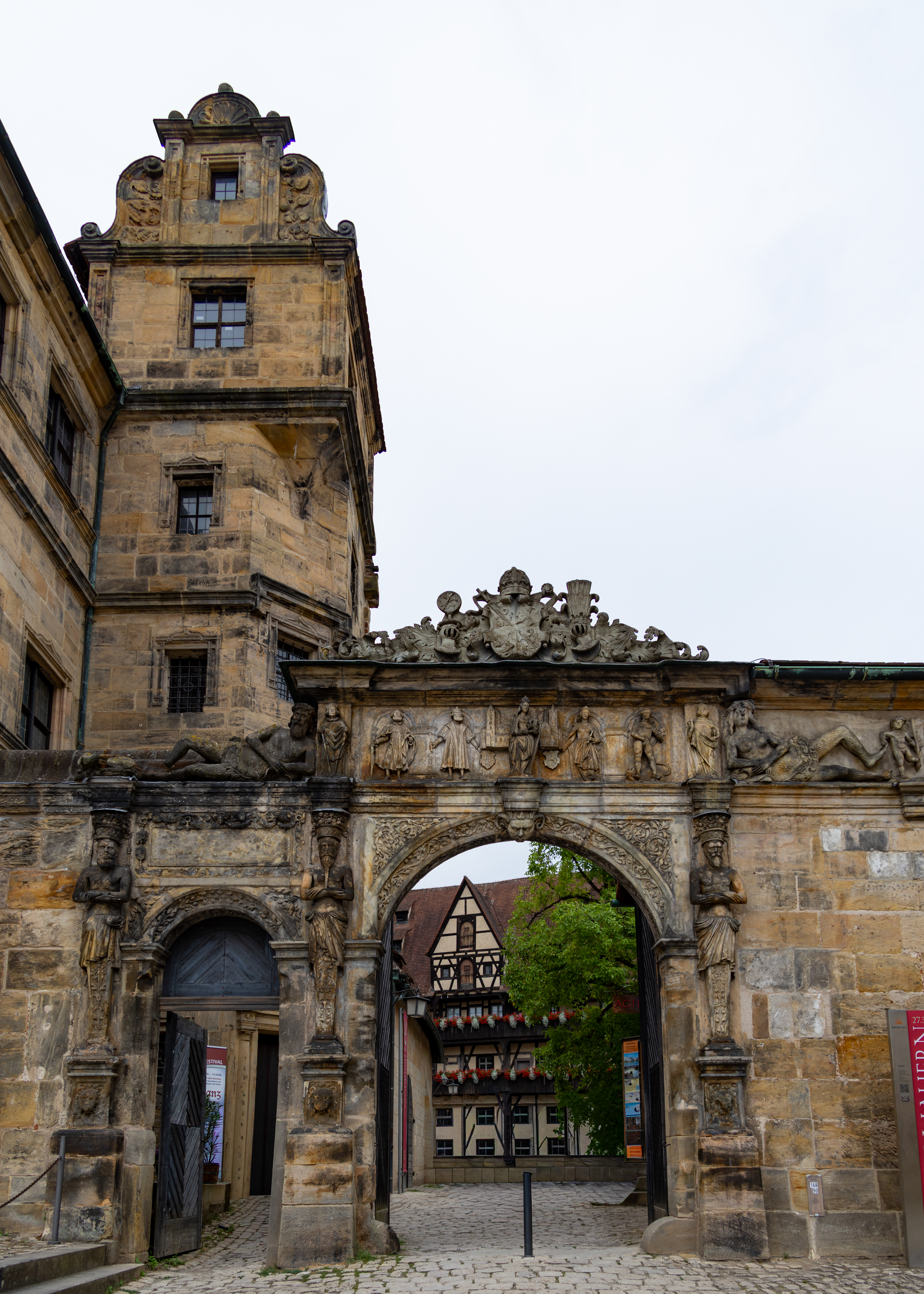
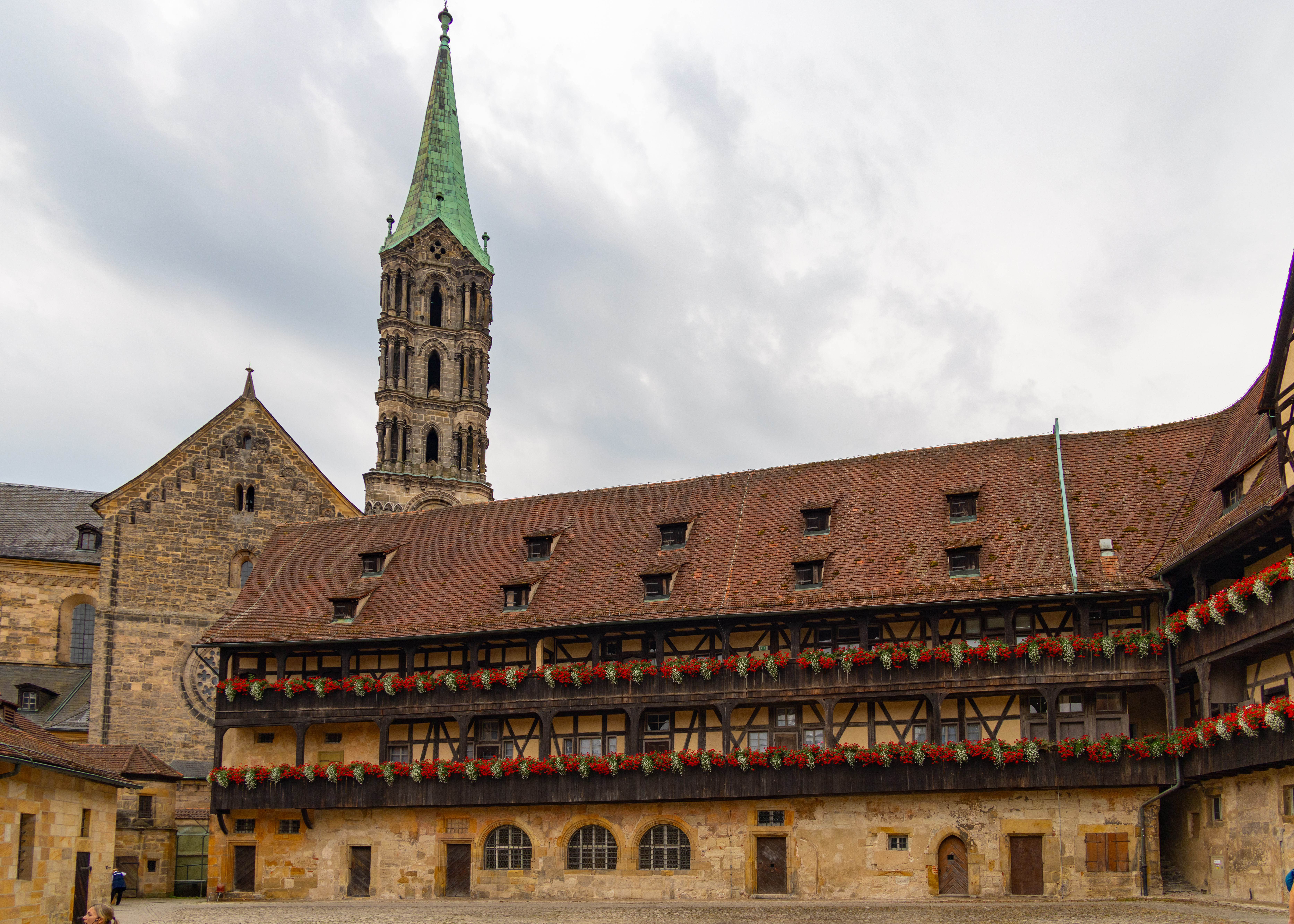
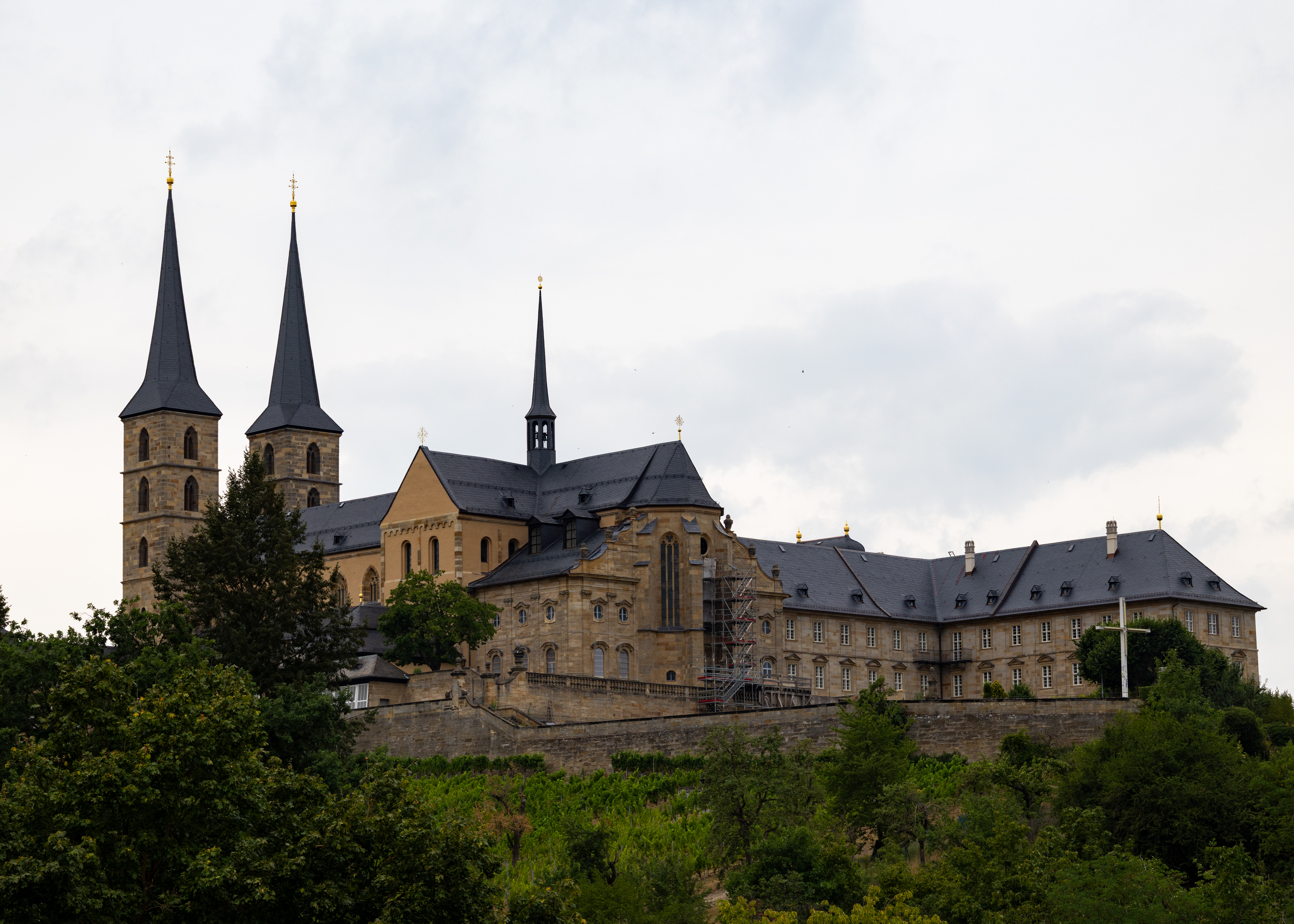
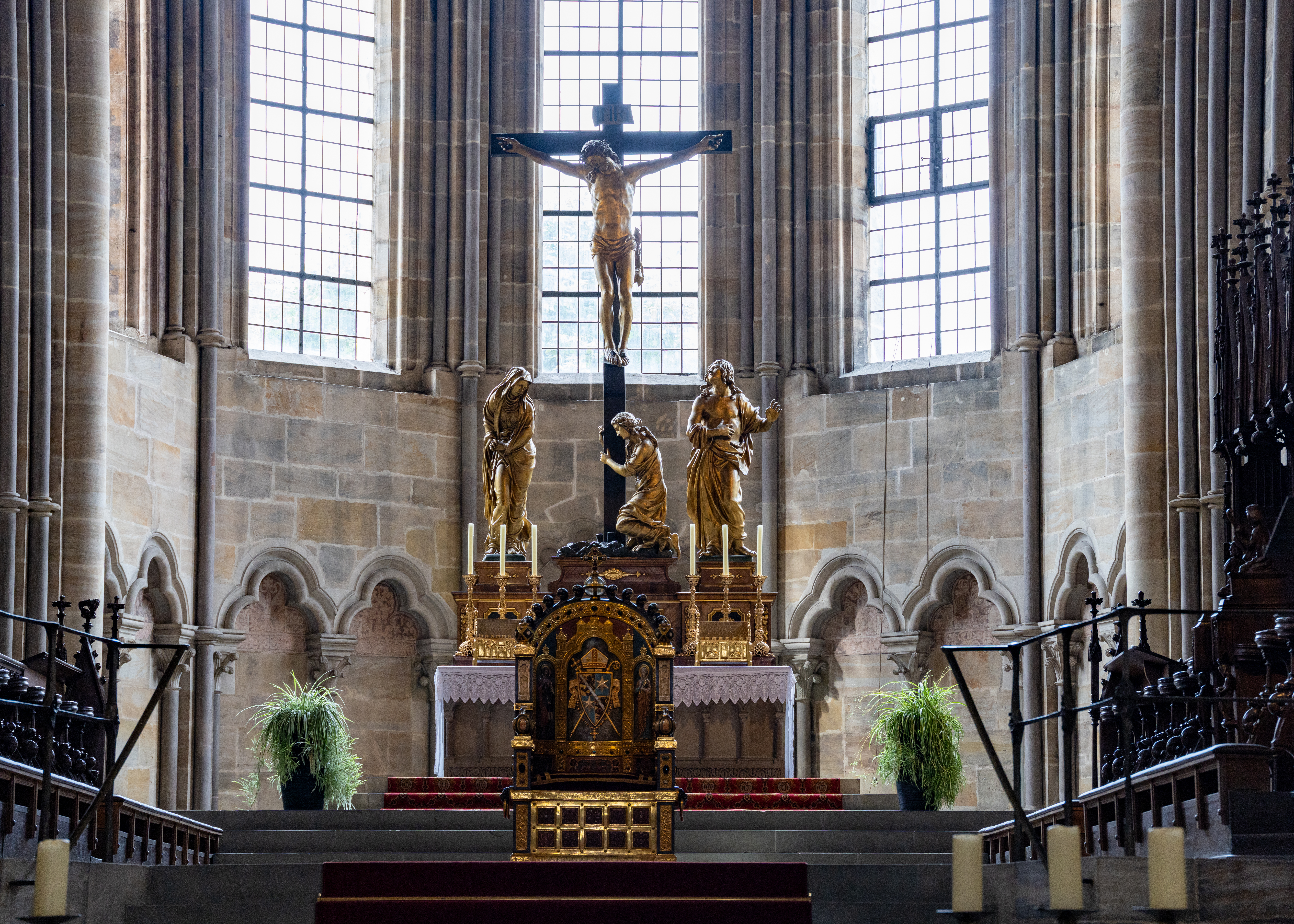
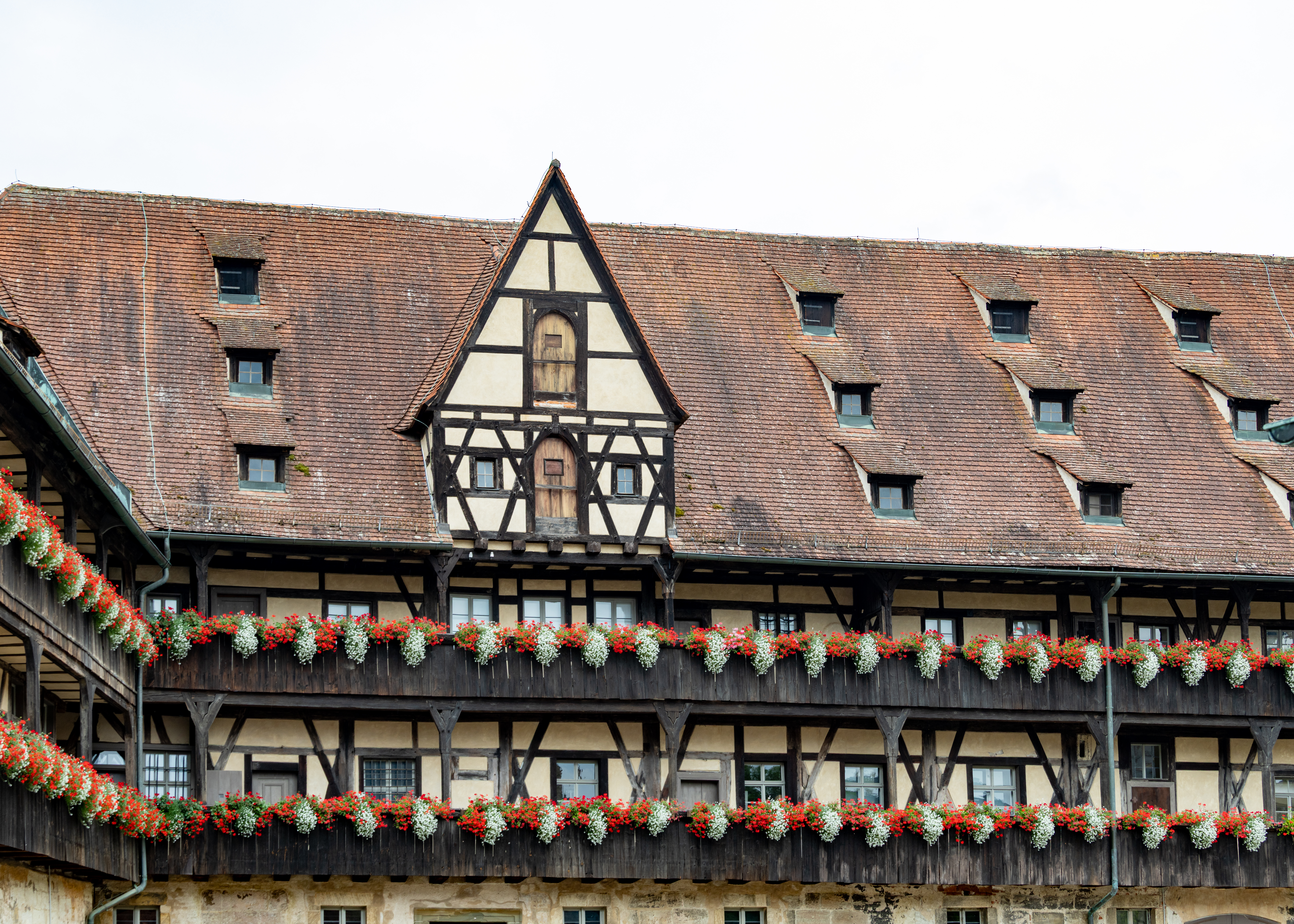
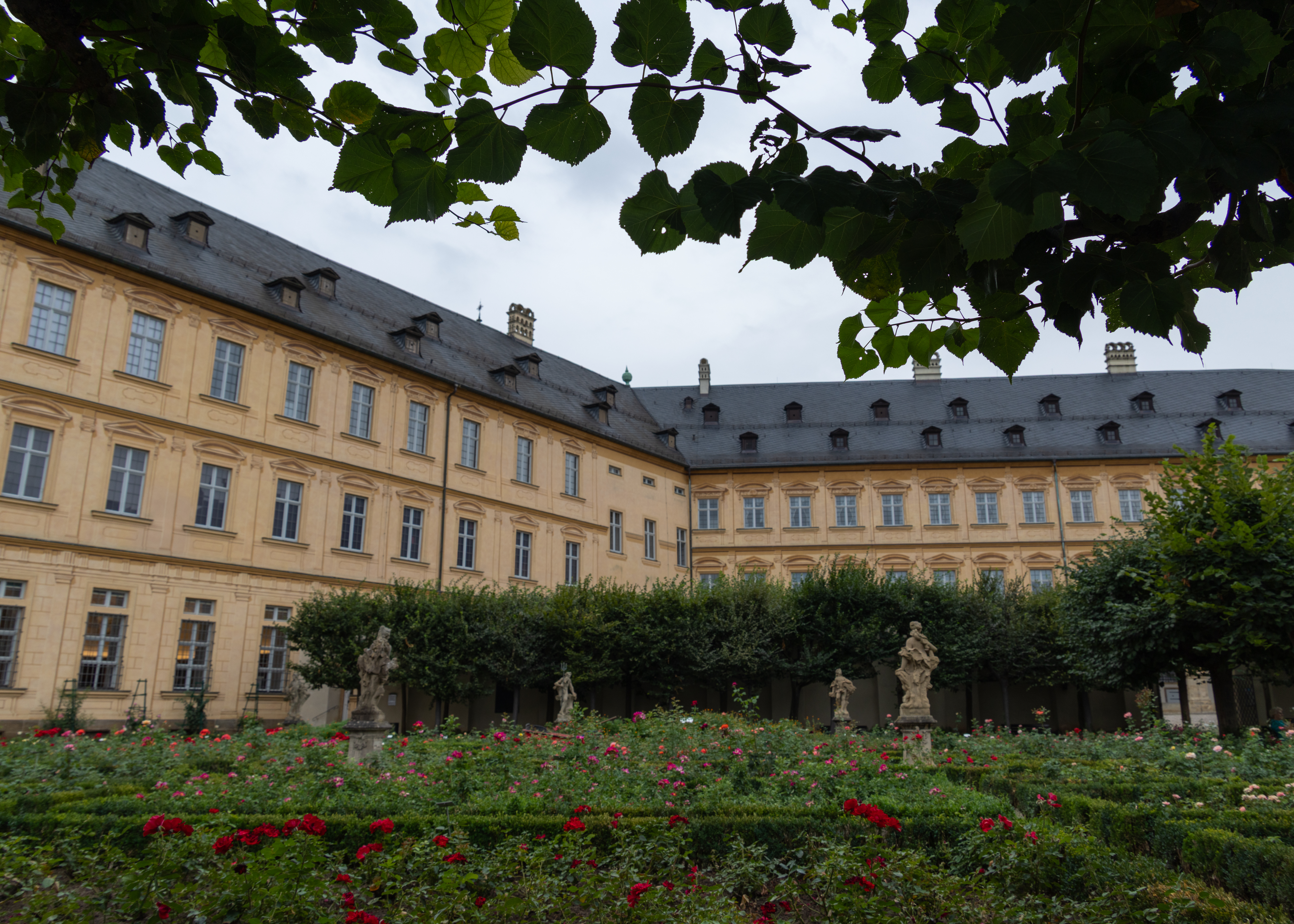
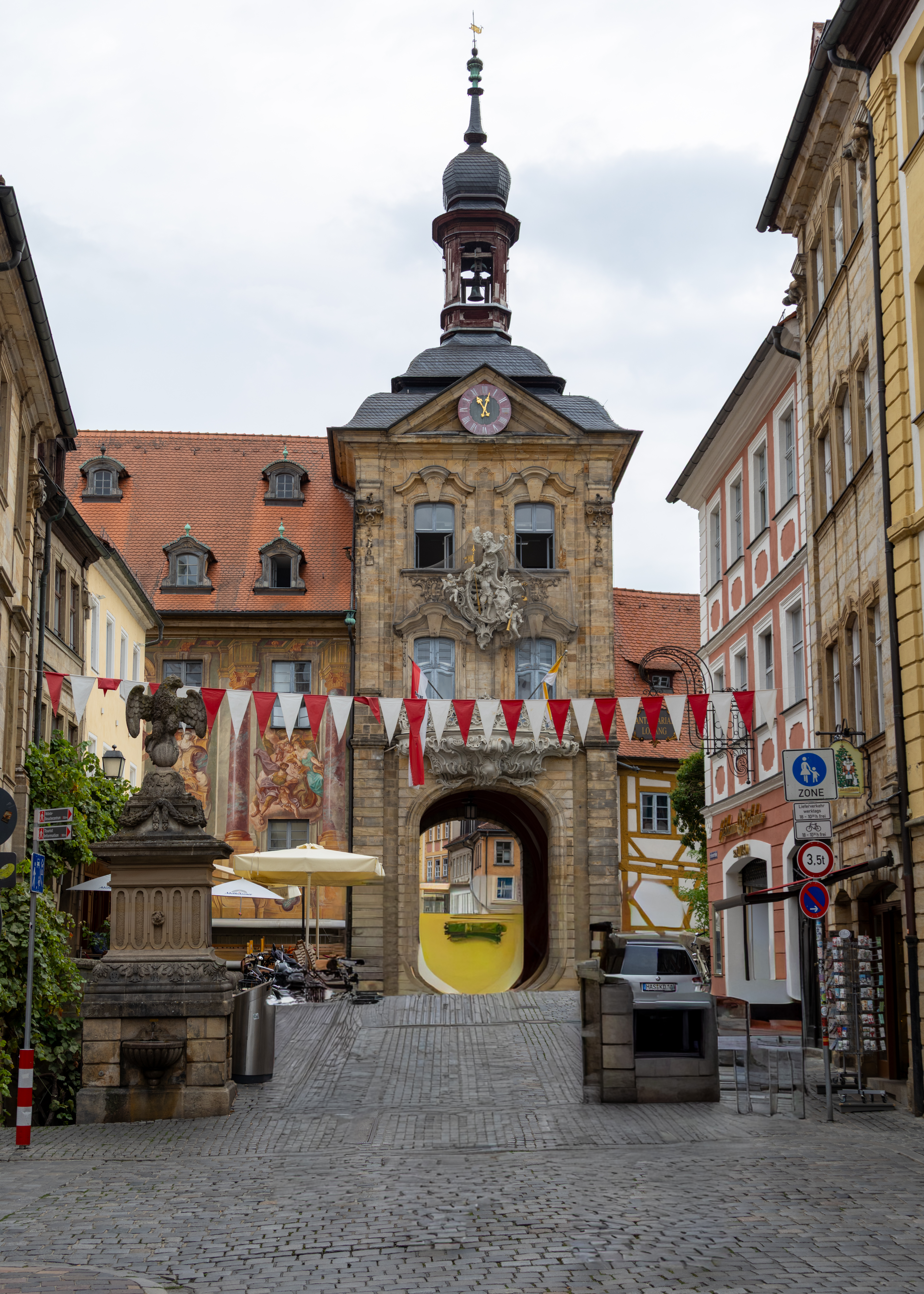
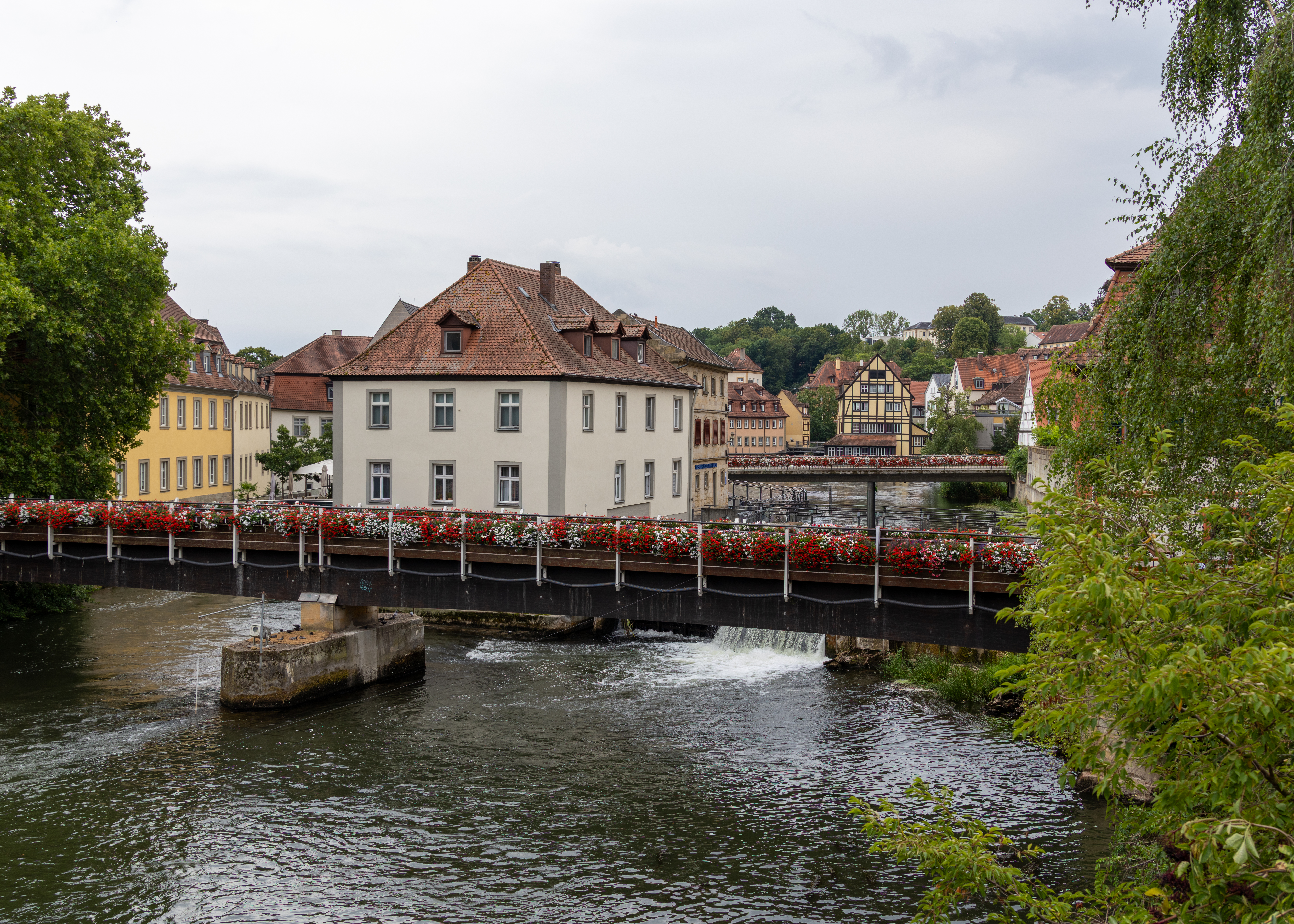
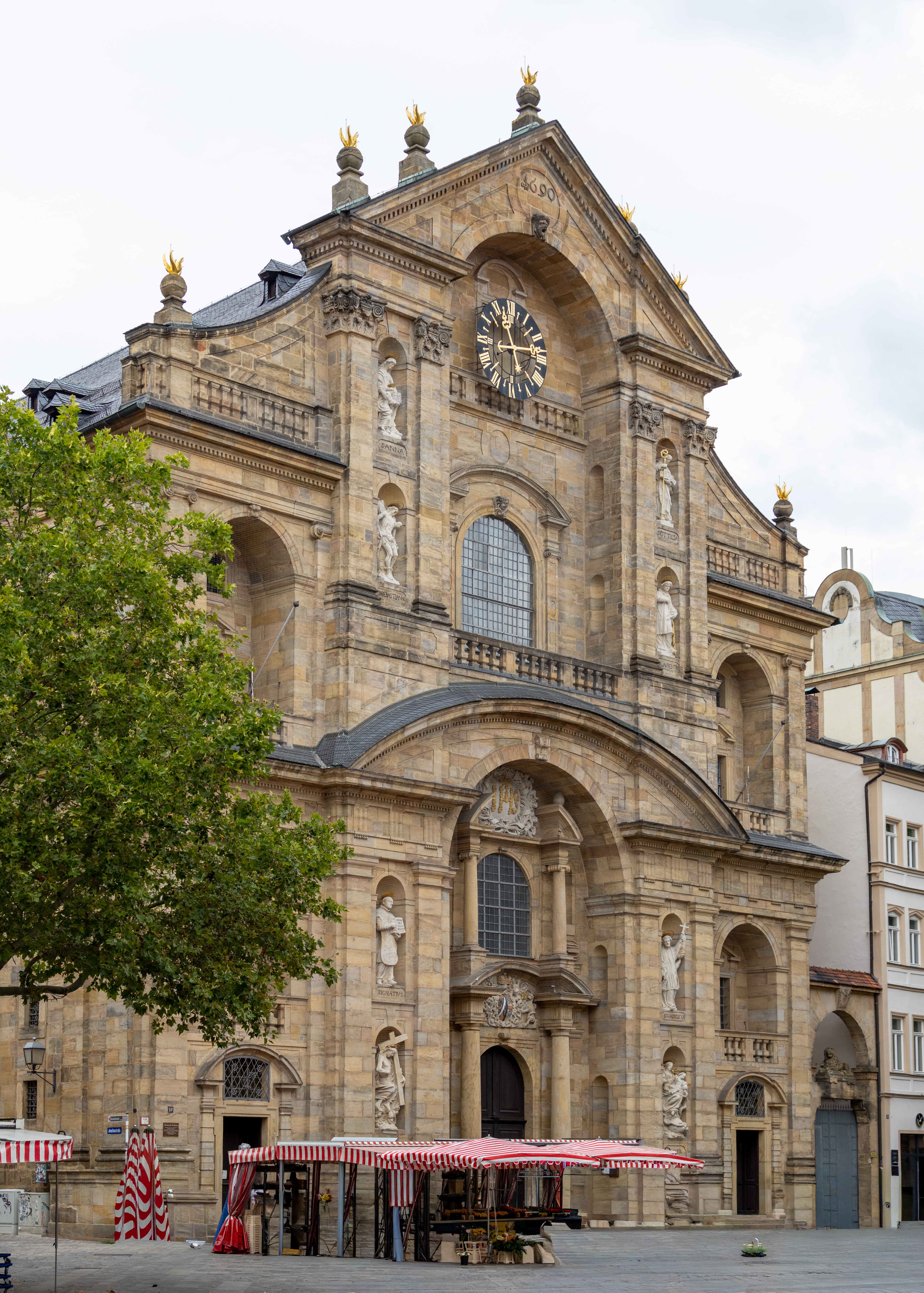
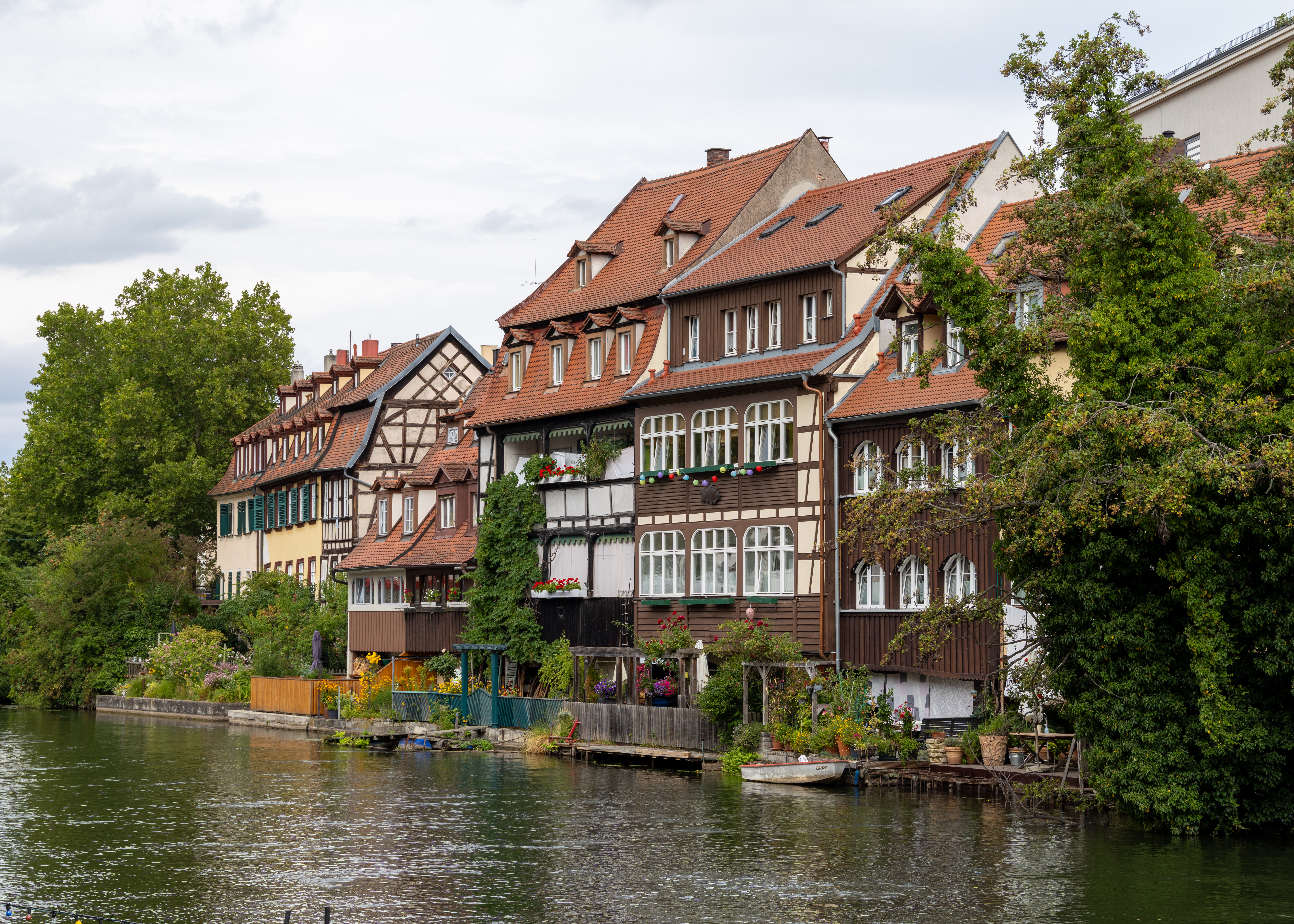
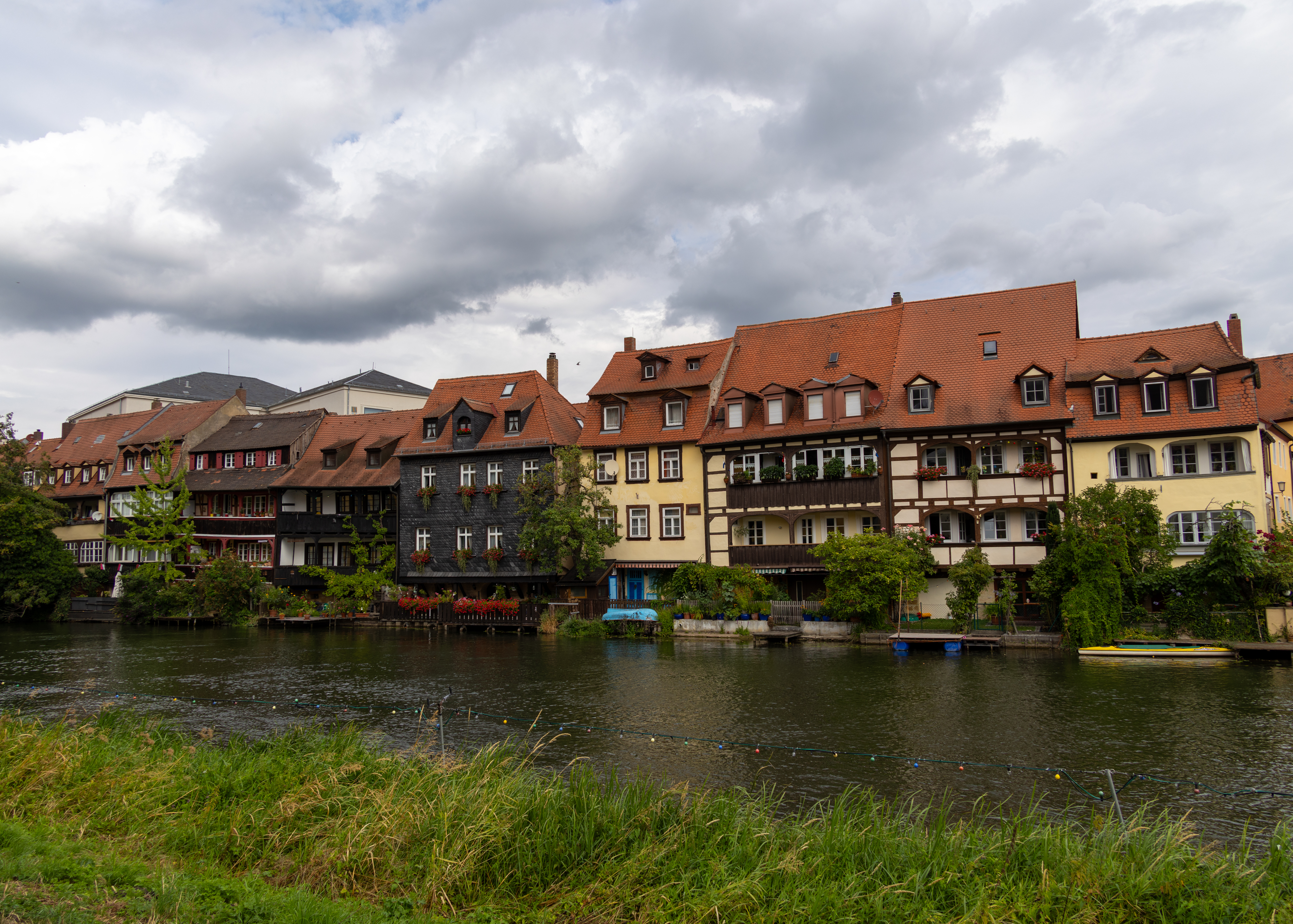
Founded in 902, Bamberg remains a medieval-looking city known for its symphony orchestra and Rauchbier, specially smoked beer. The city’s winding streets are filled with baroque houses and home to its 11th-century cathedral of the Holy Roman Emperor Heinrich II, which houses his tomb and that of Pope Clement II. Bamberg is especially noted for its Altes Rathaus, or Old Town Hall, situated on a twin-arched bridge over the Regnitz River, and for the old bishop’s houses: the 16th-century Alte Hofhaltung (Old Court) and 17th-century Neue Residenz.

Europe 2026 – Day 11 Würzburg, Germany

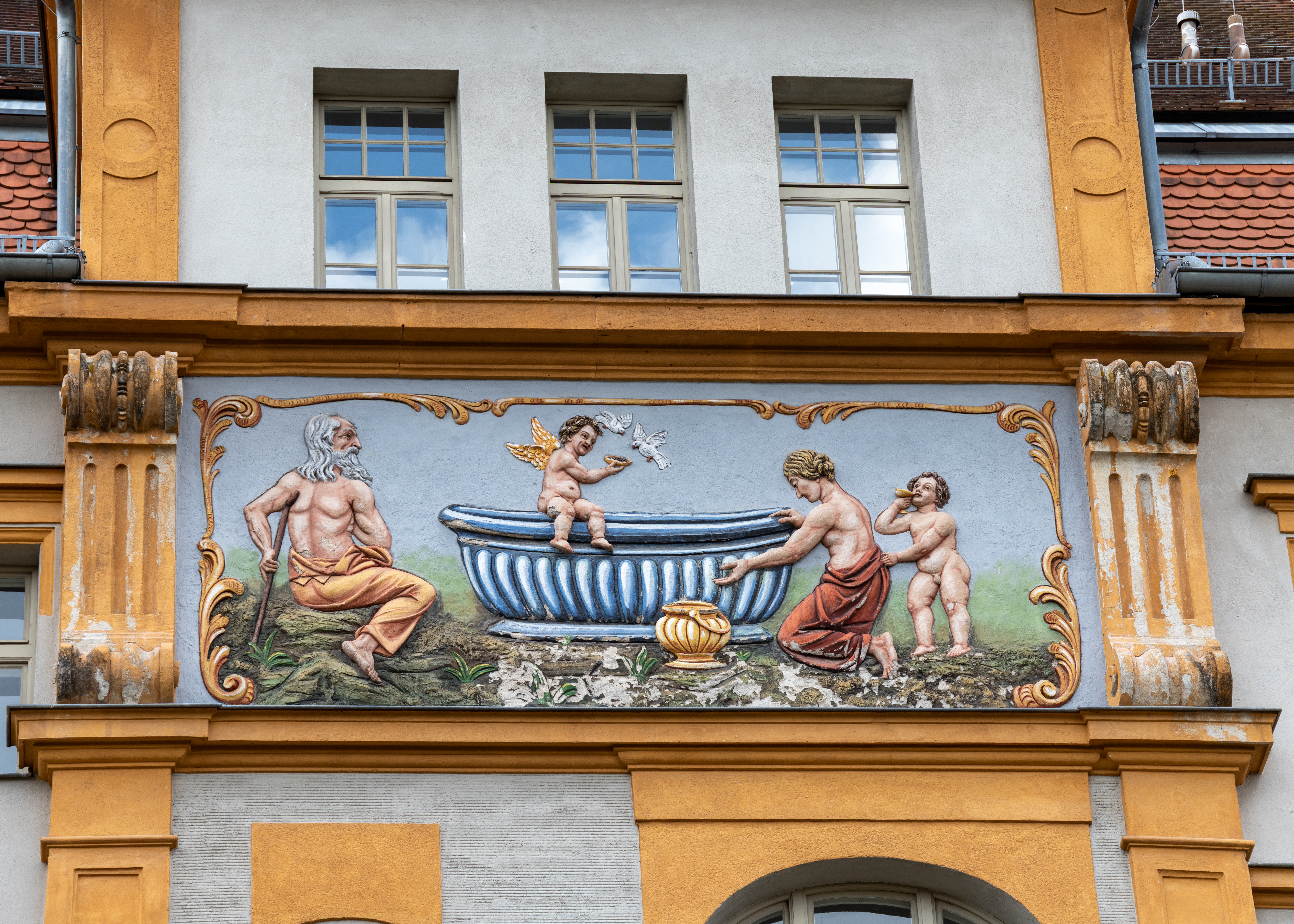
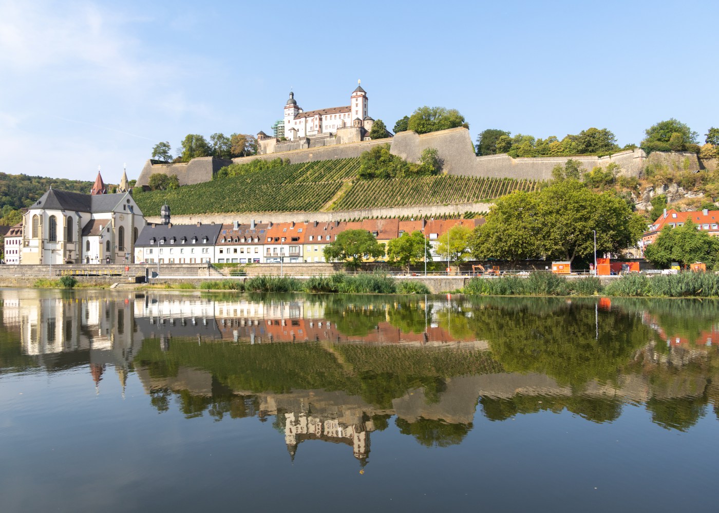
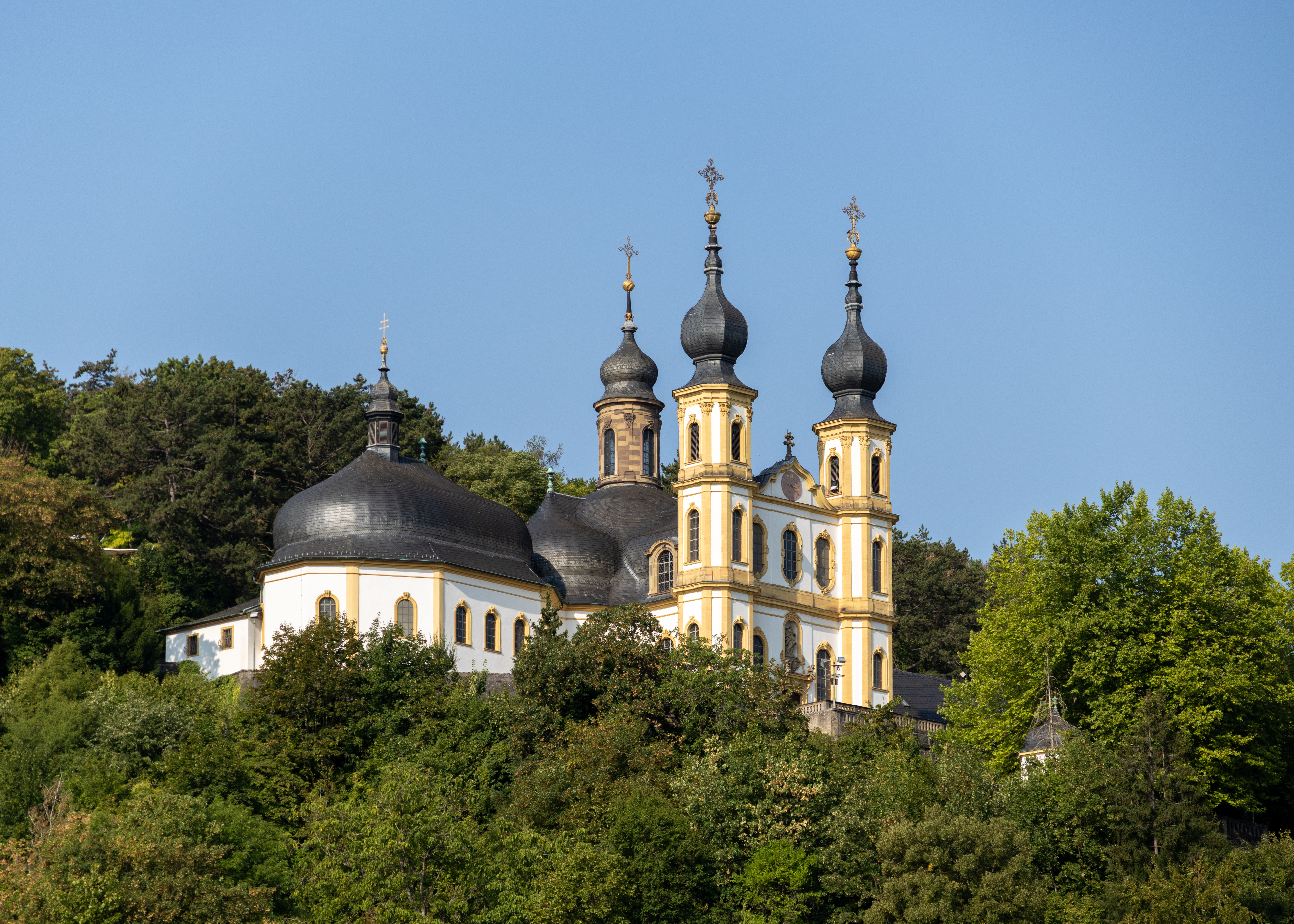
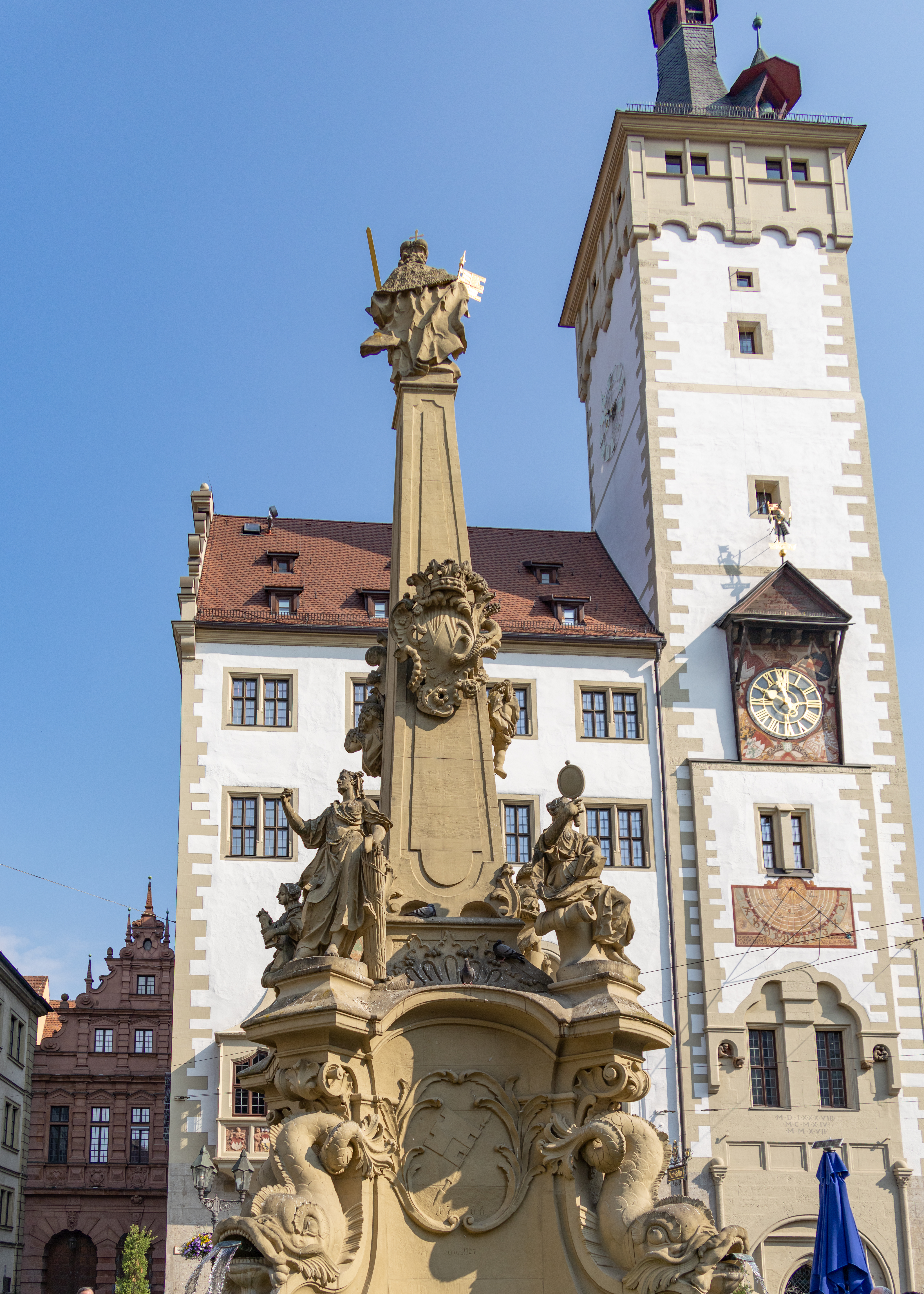
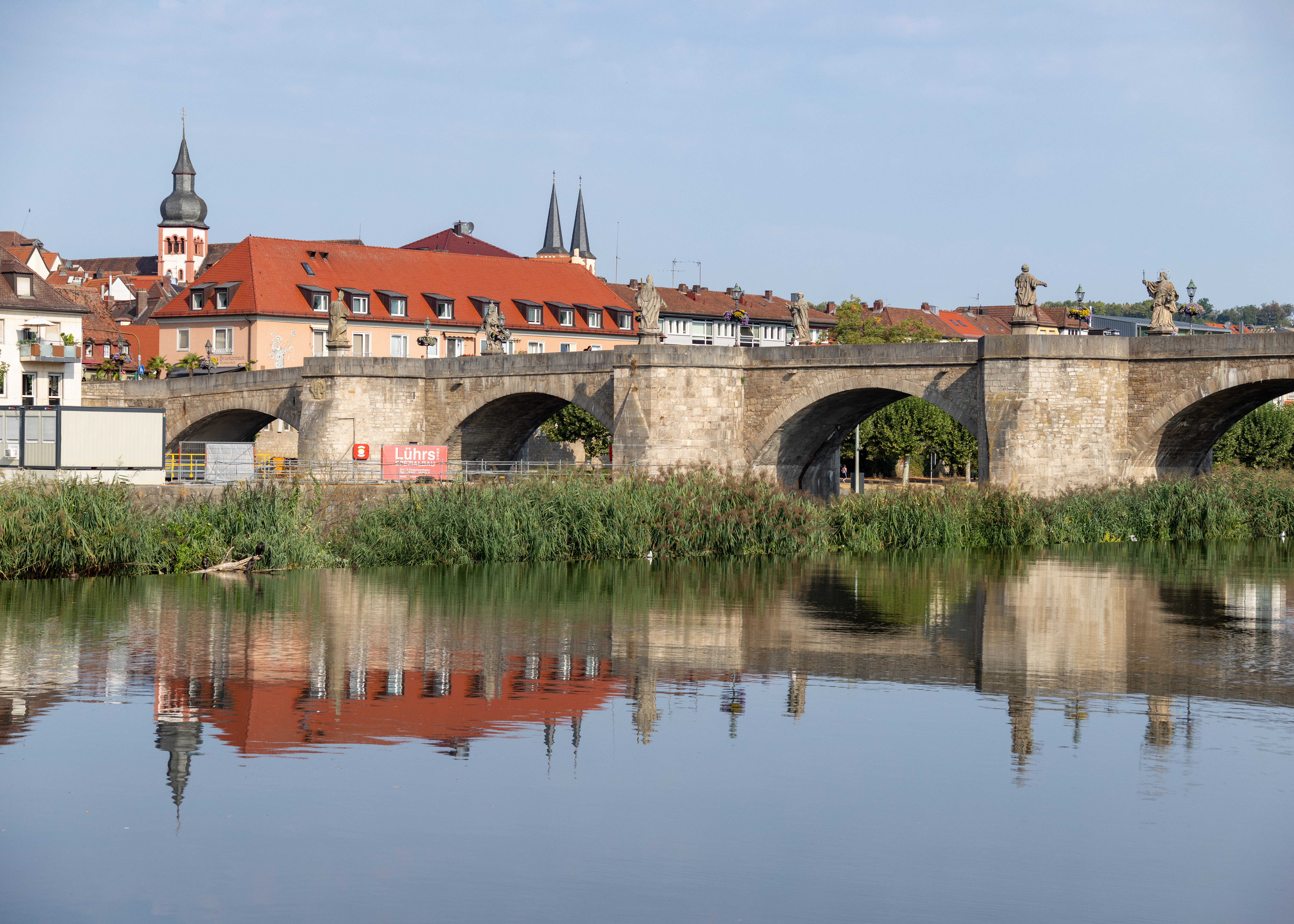
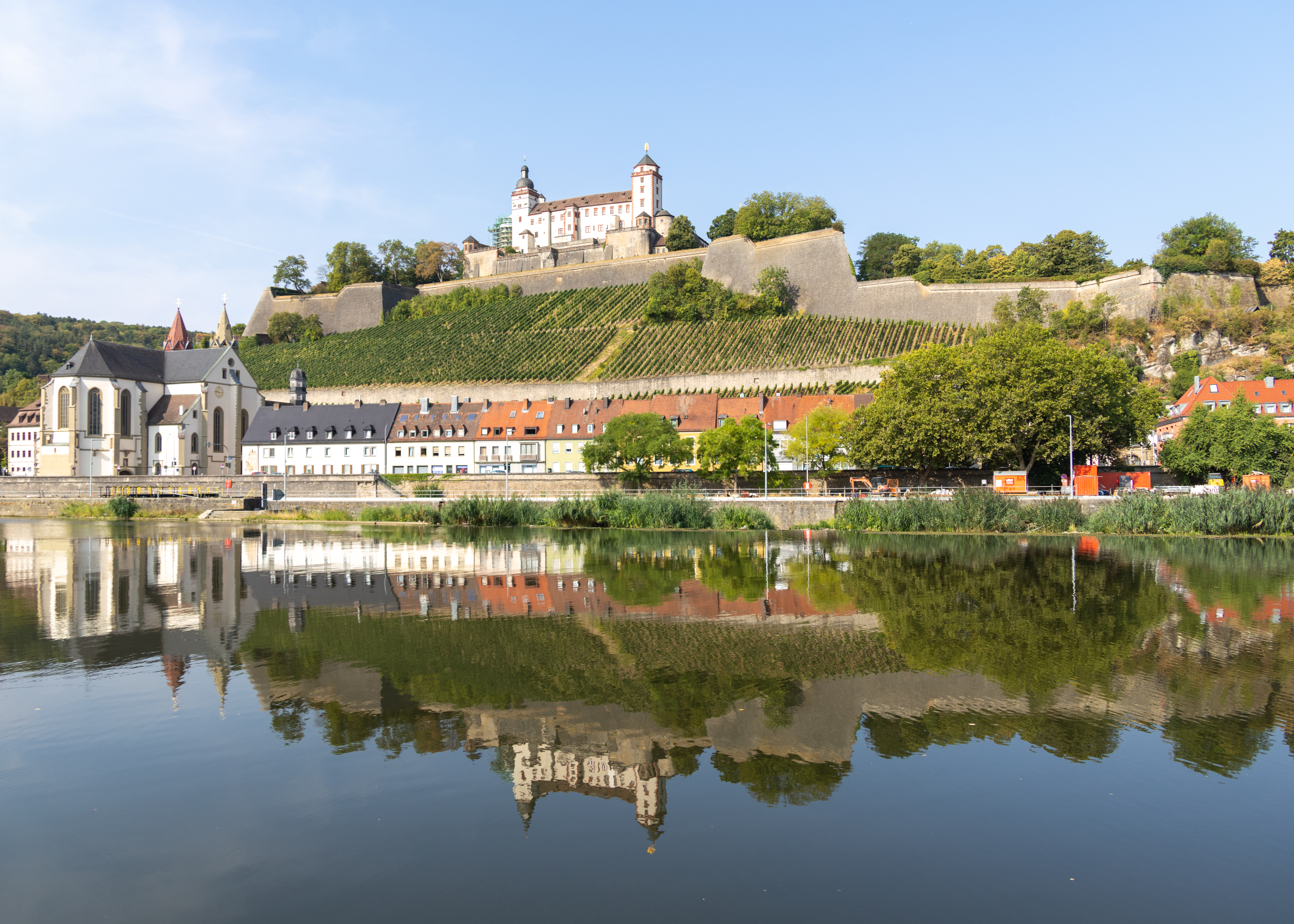
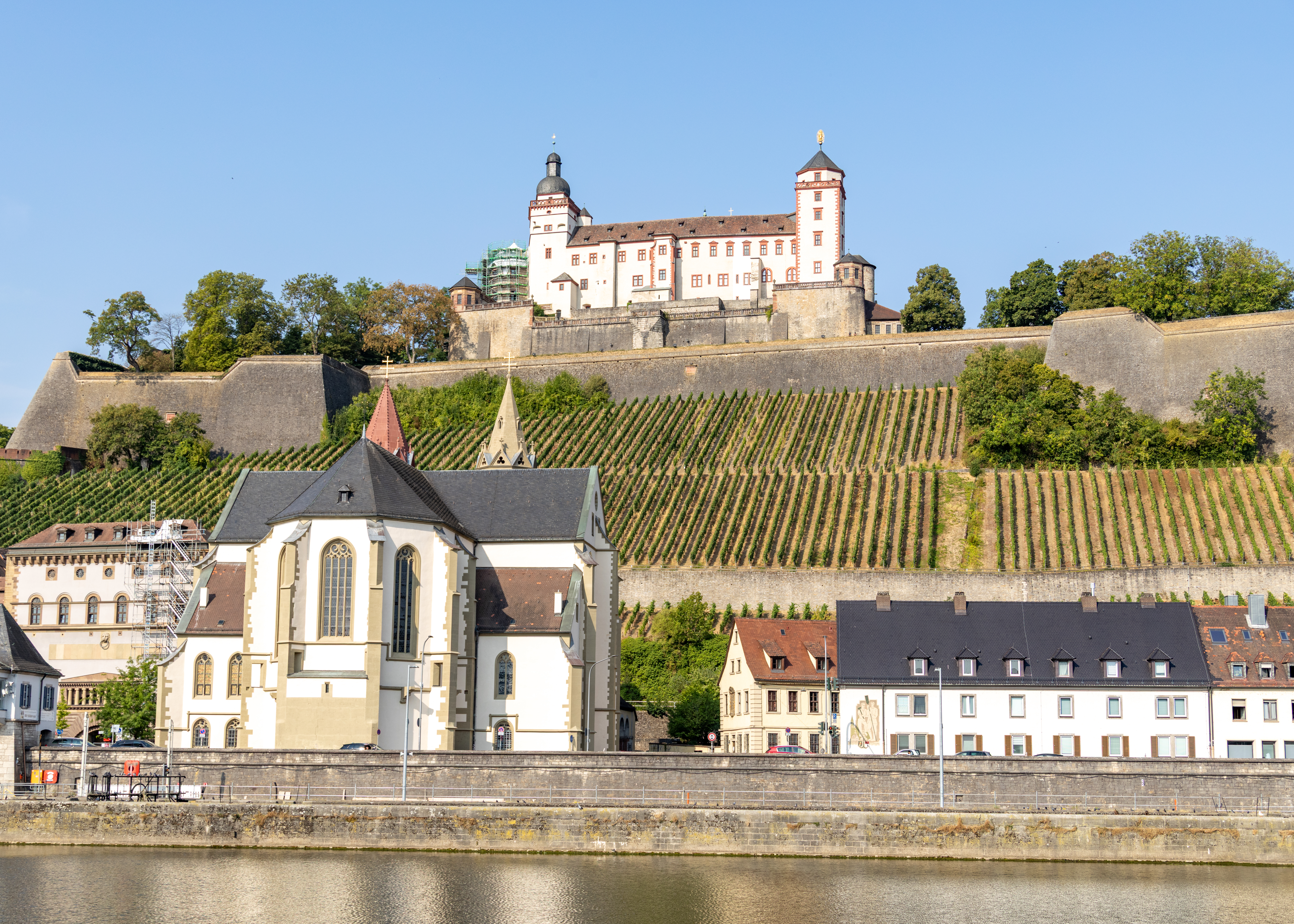
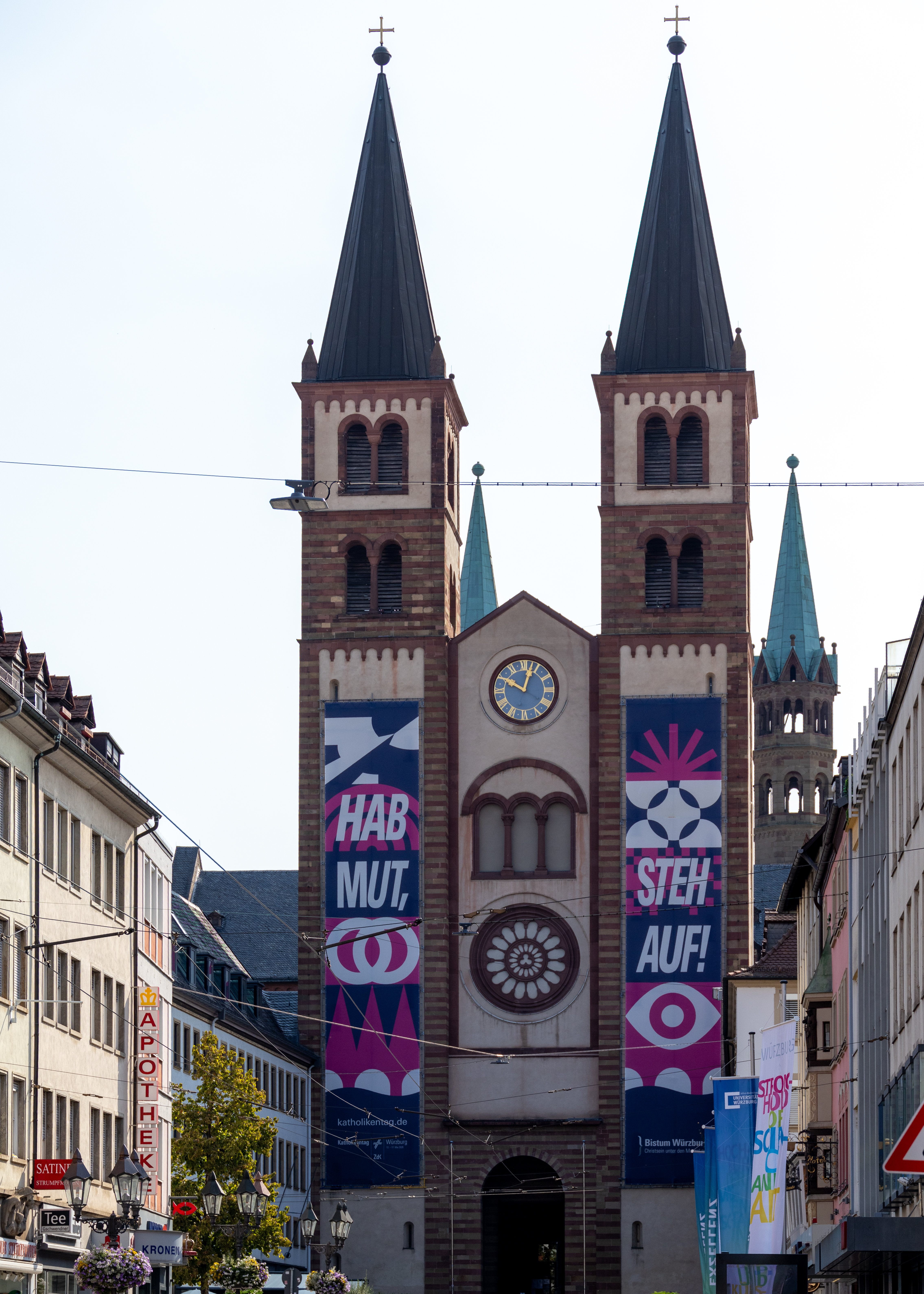
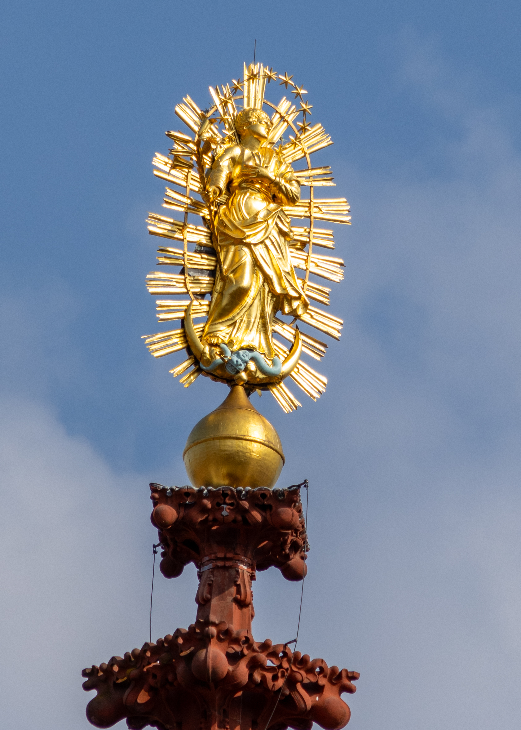
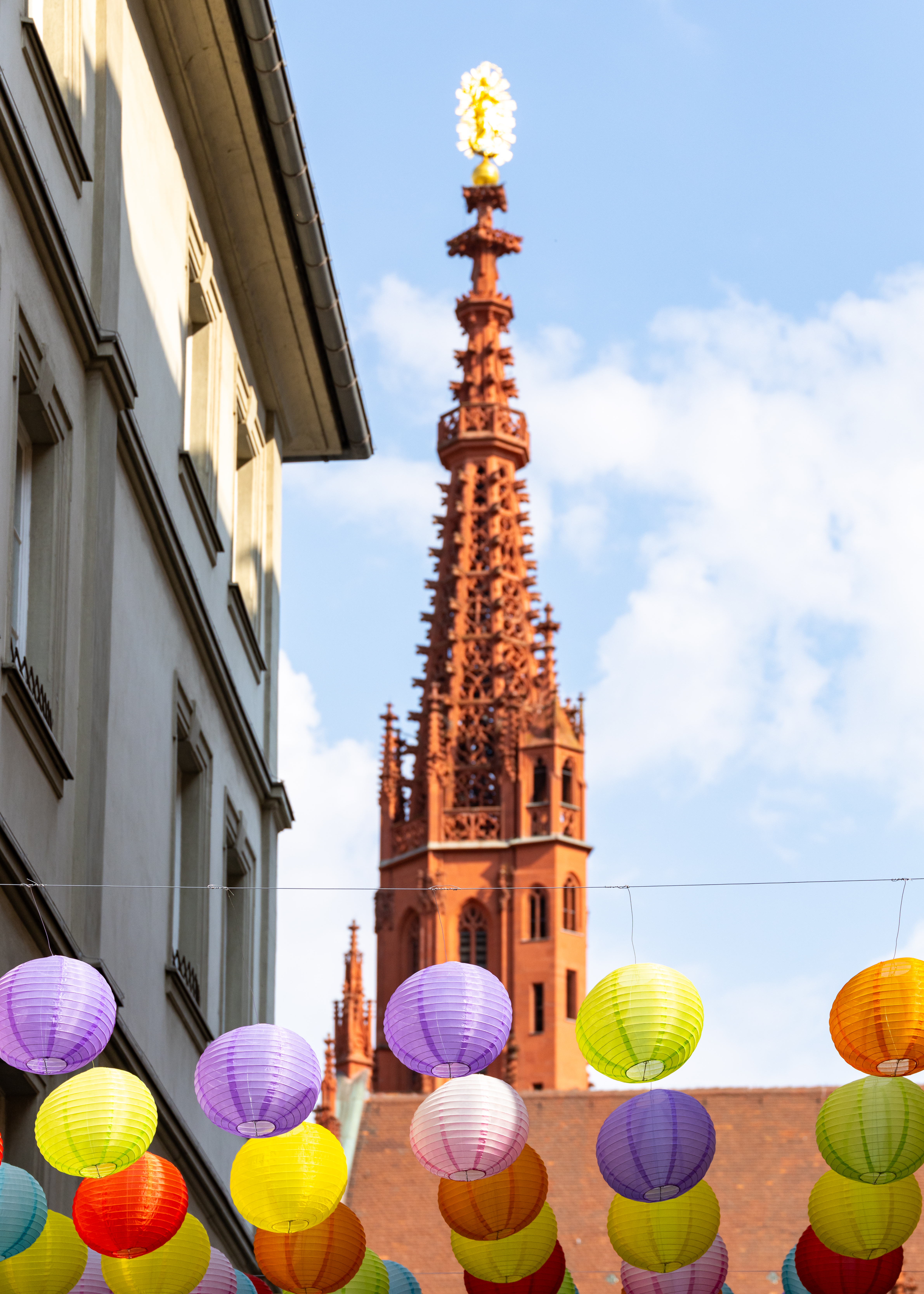
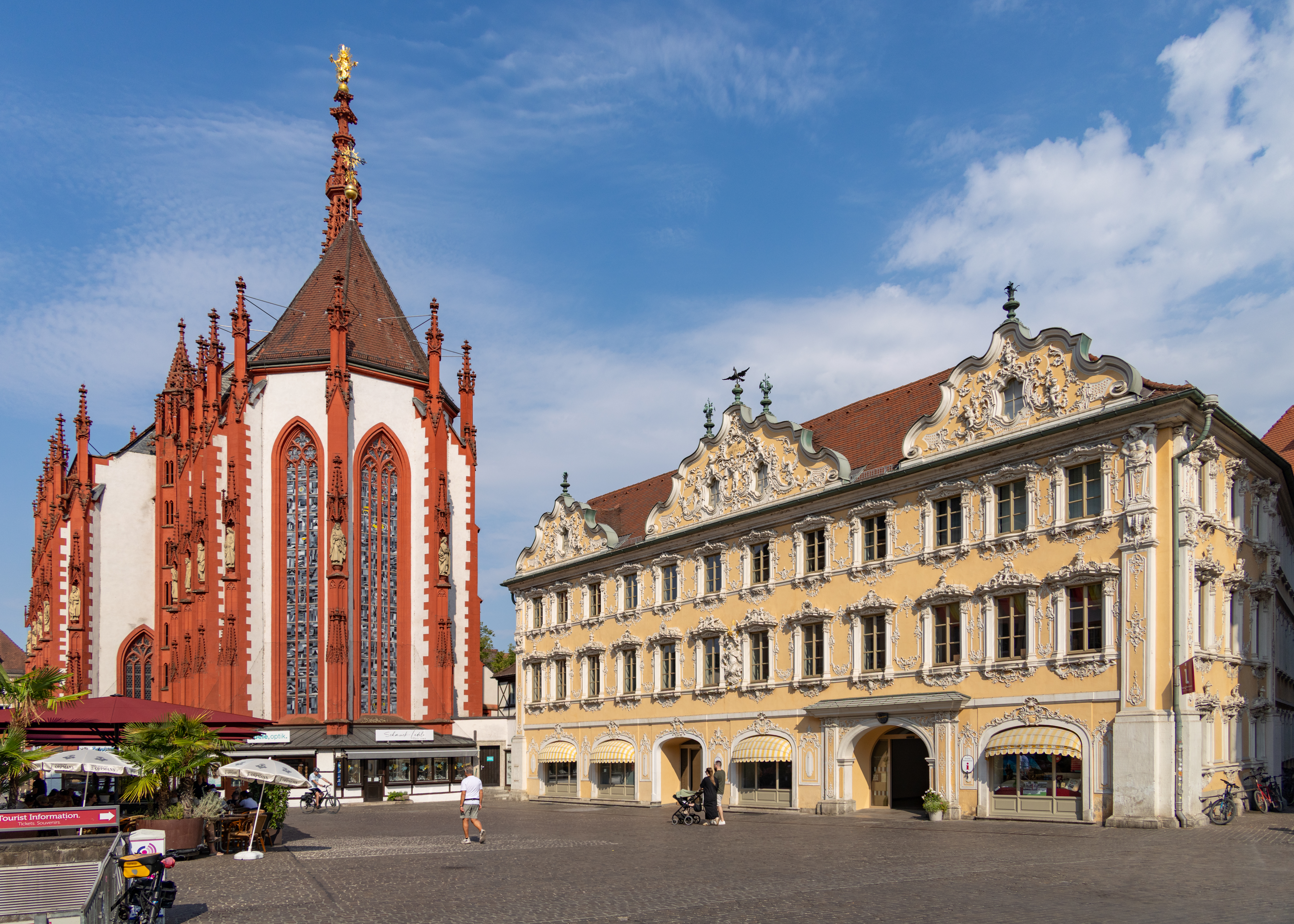
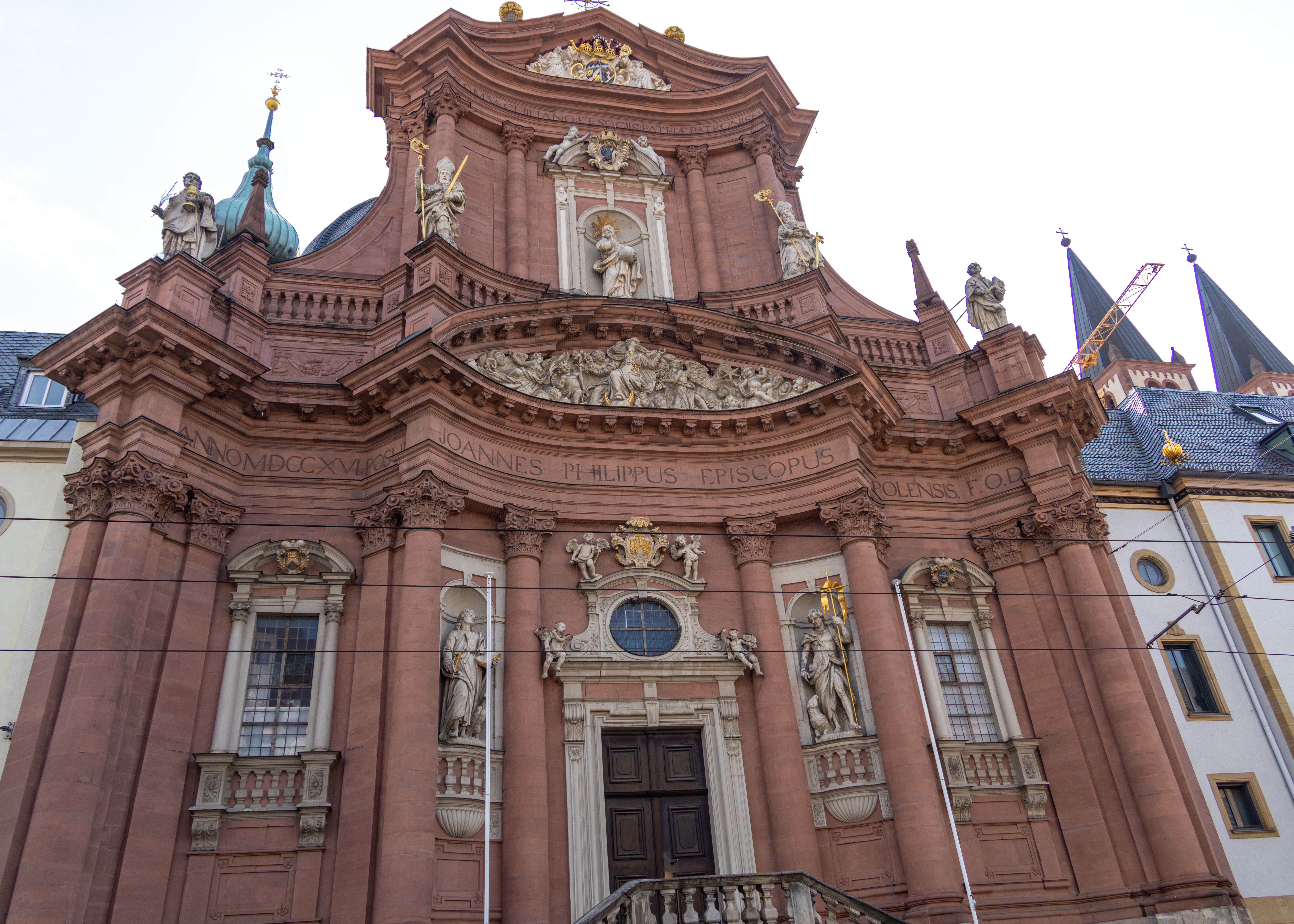
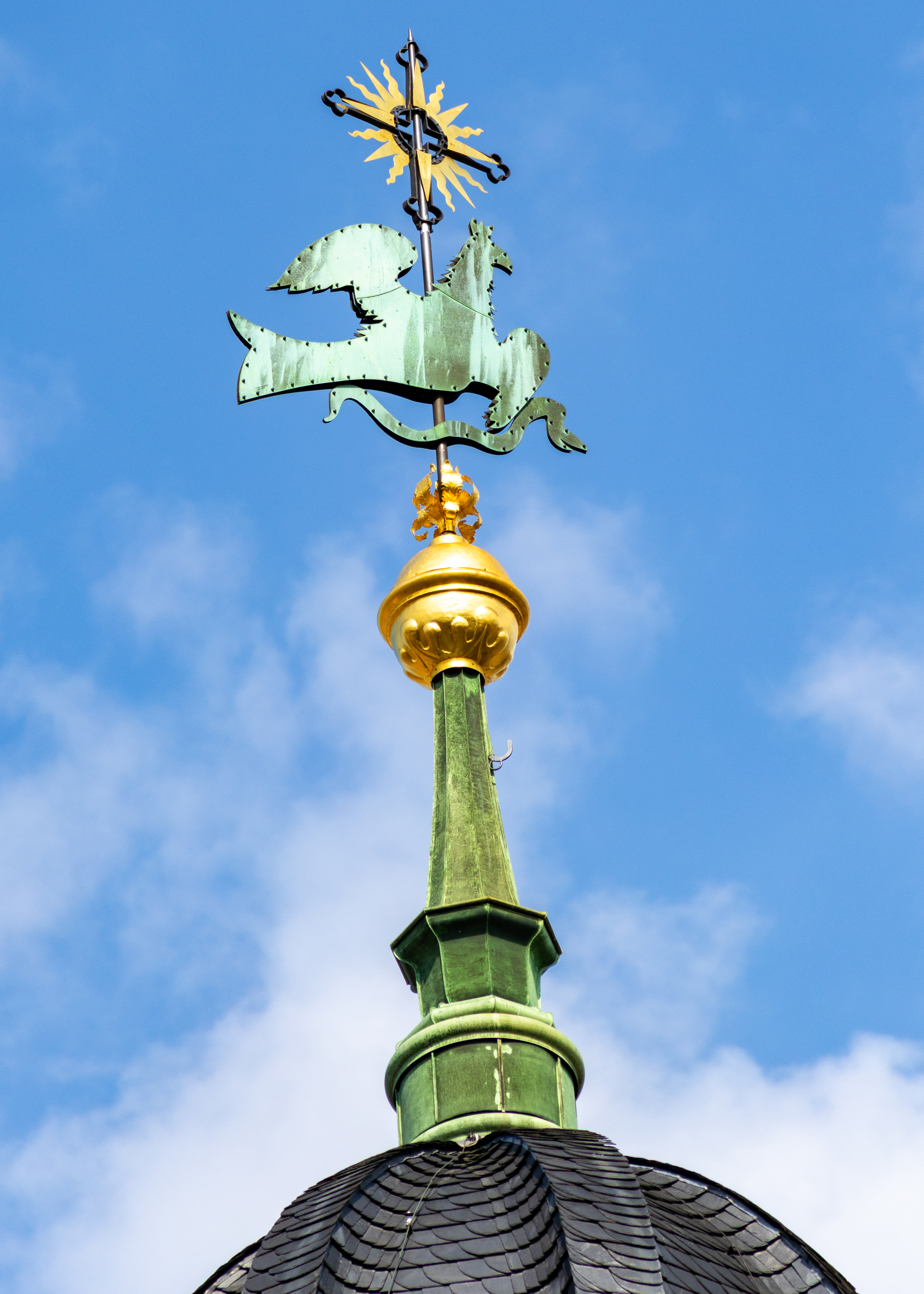
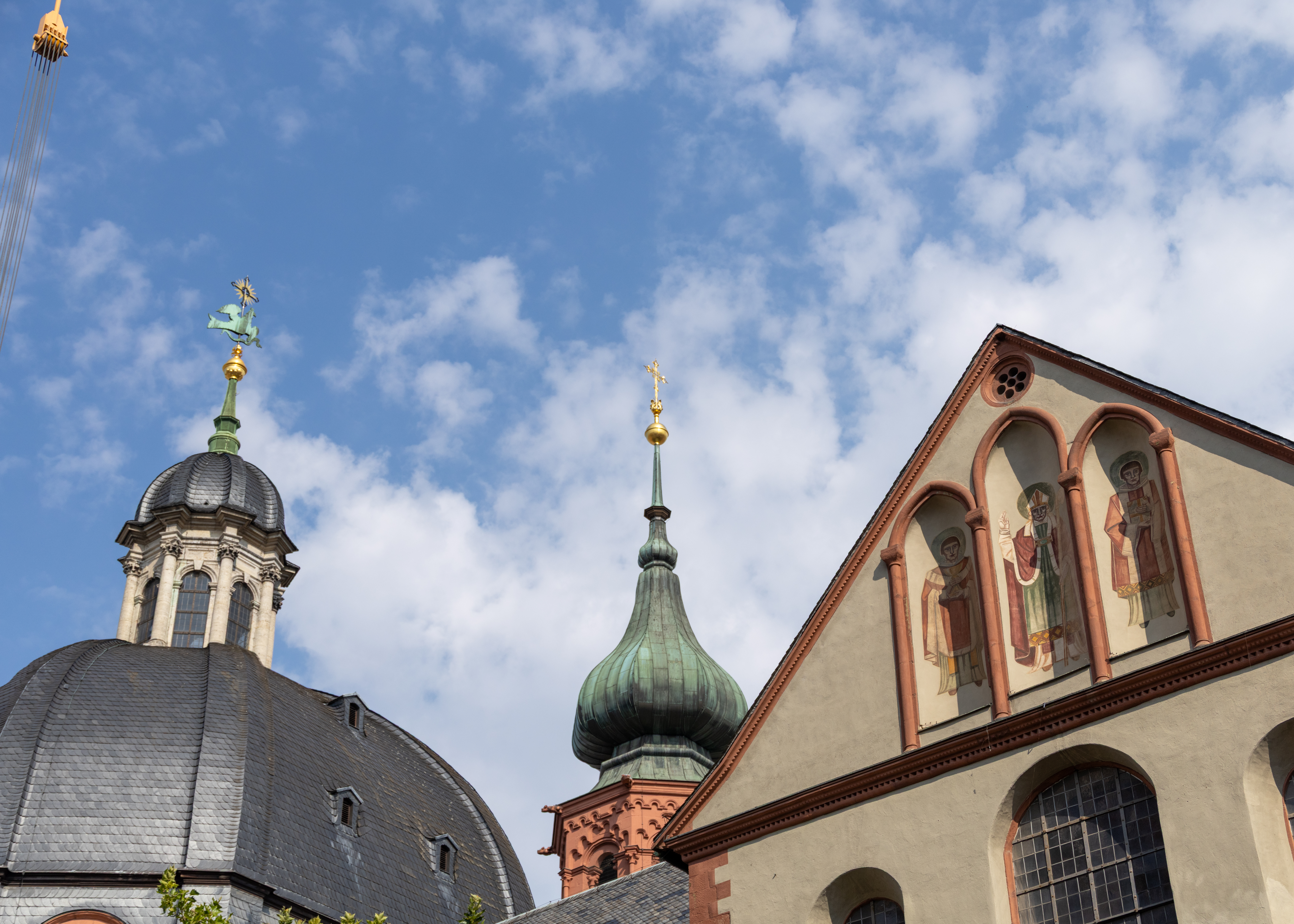
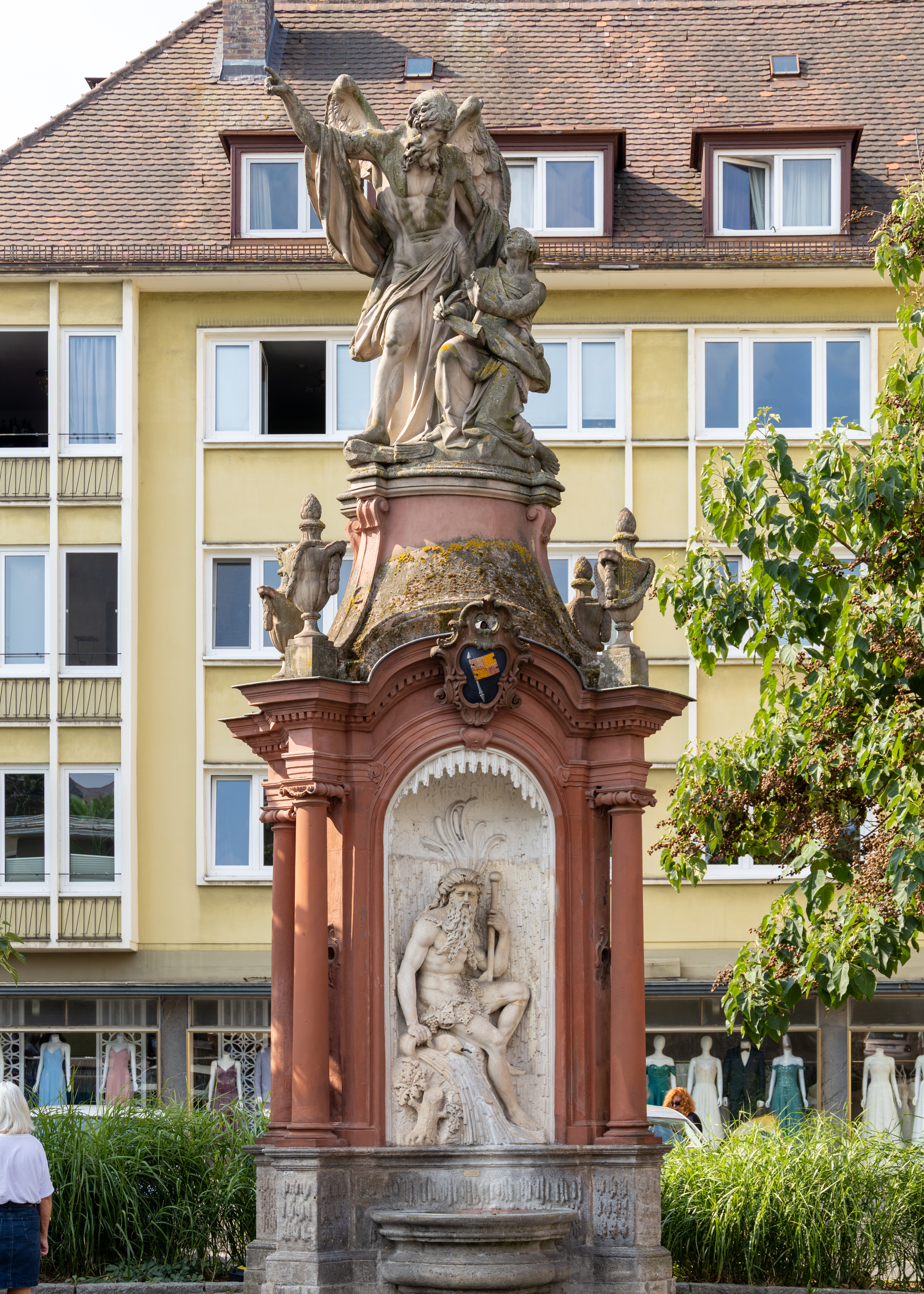
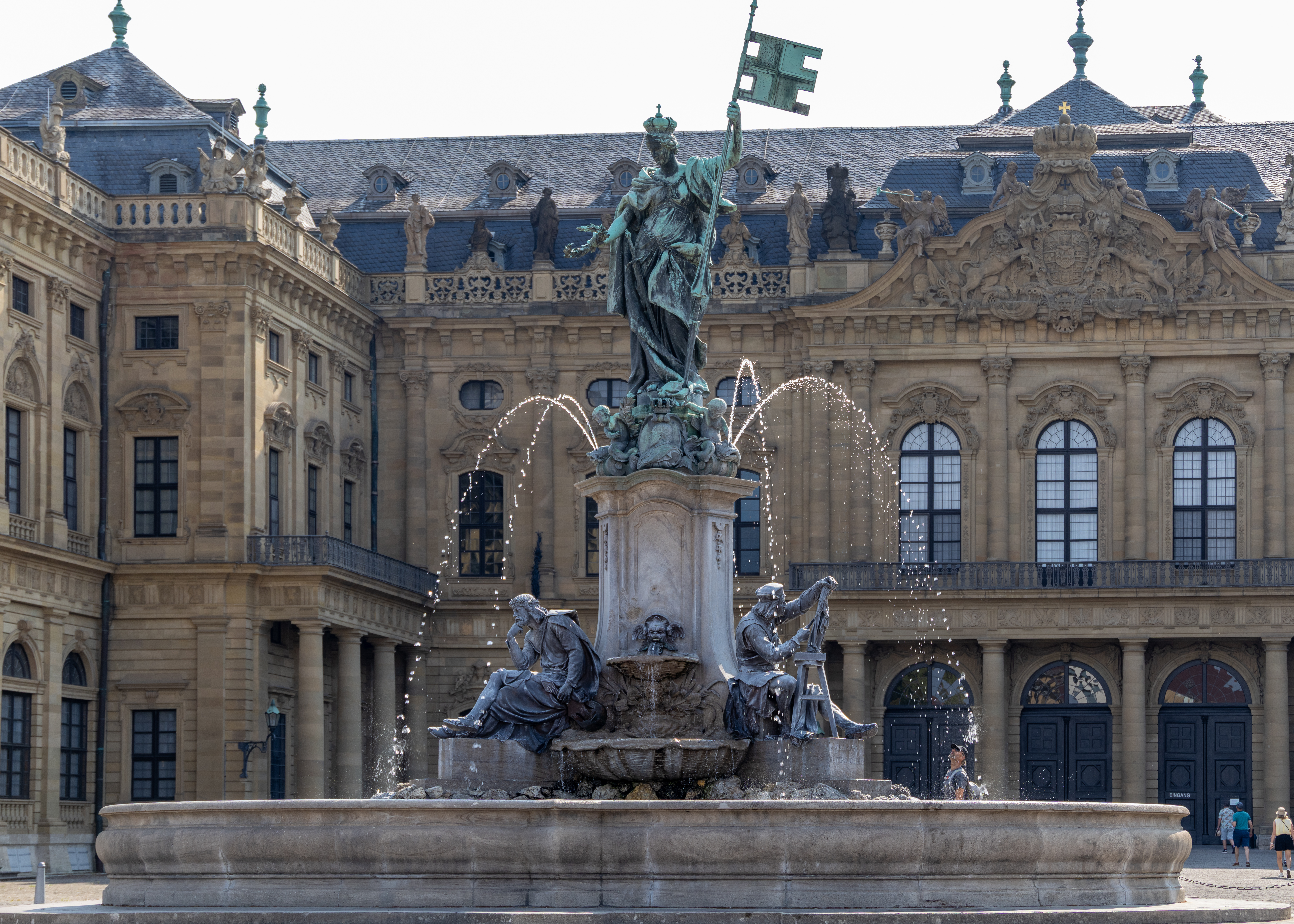
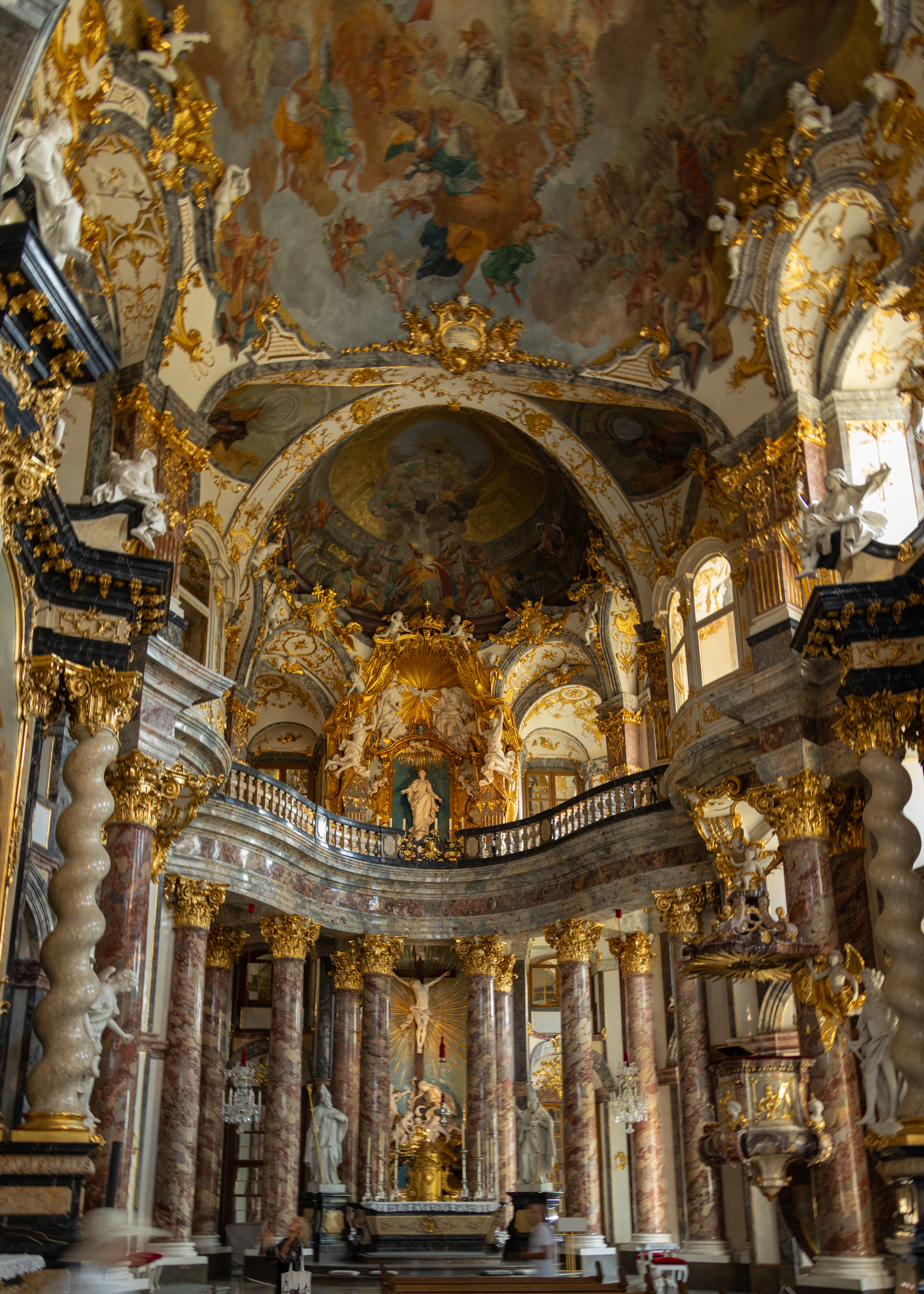
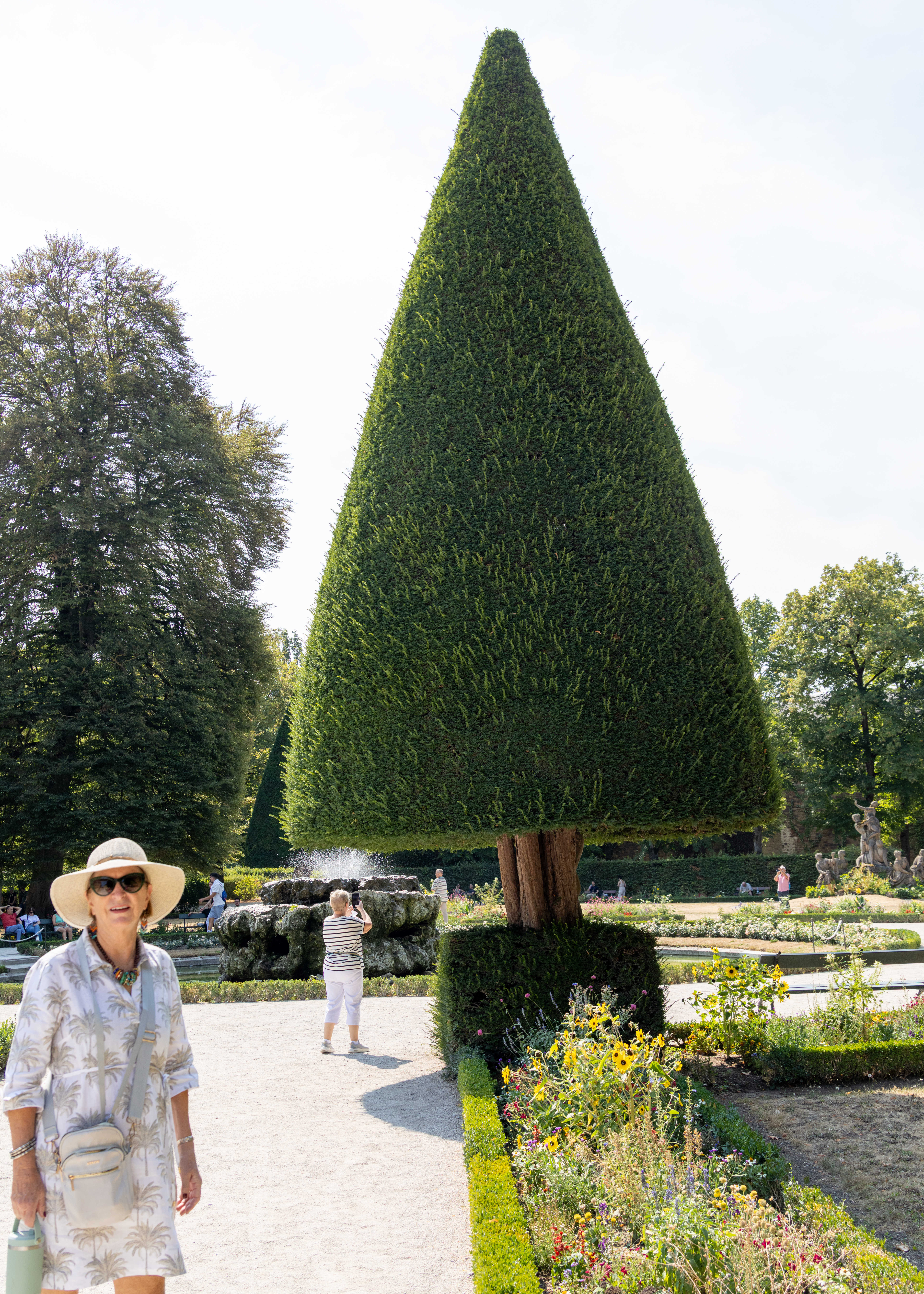
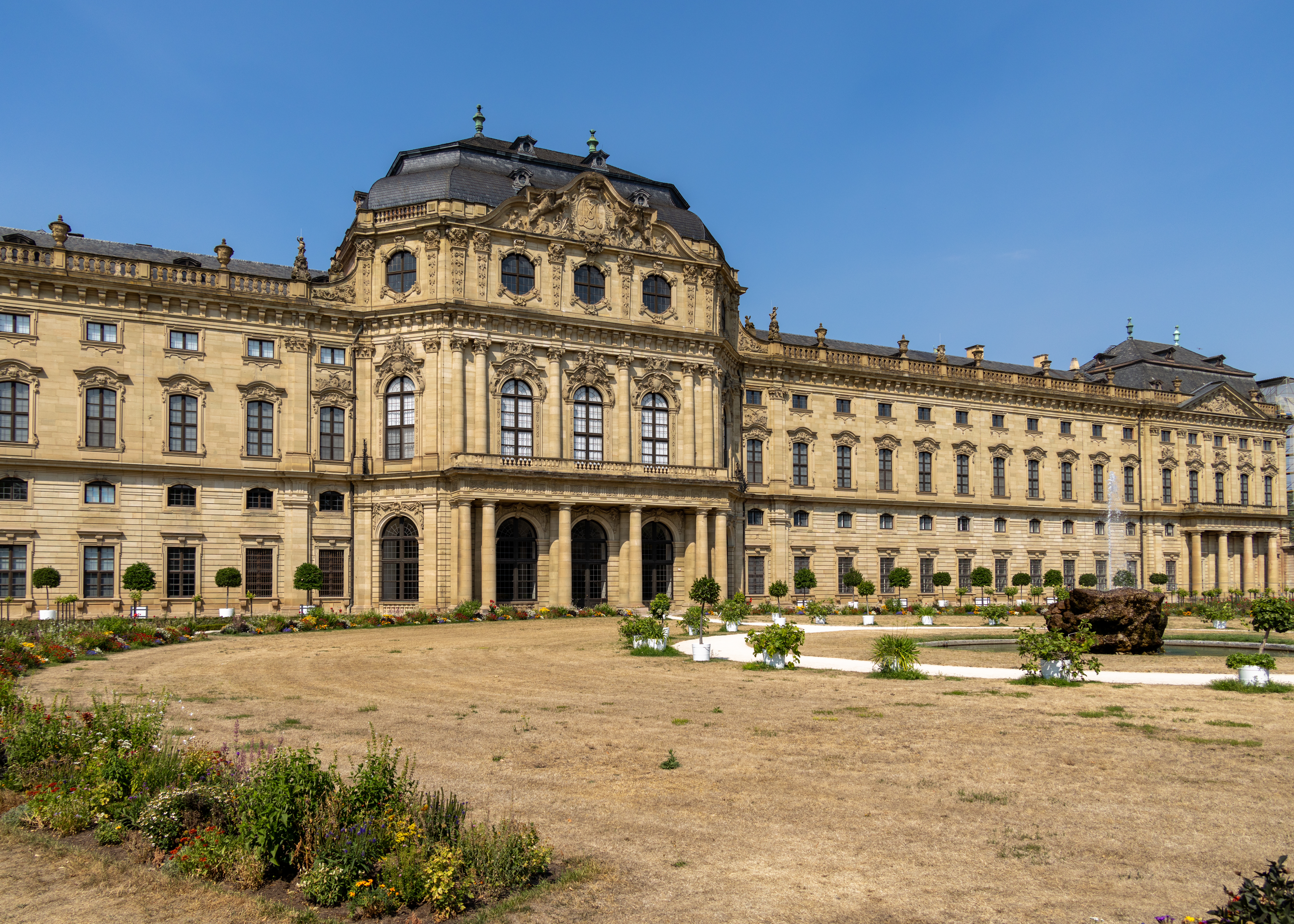
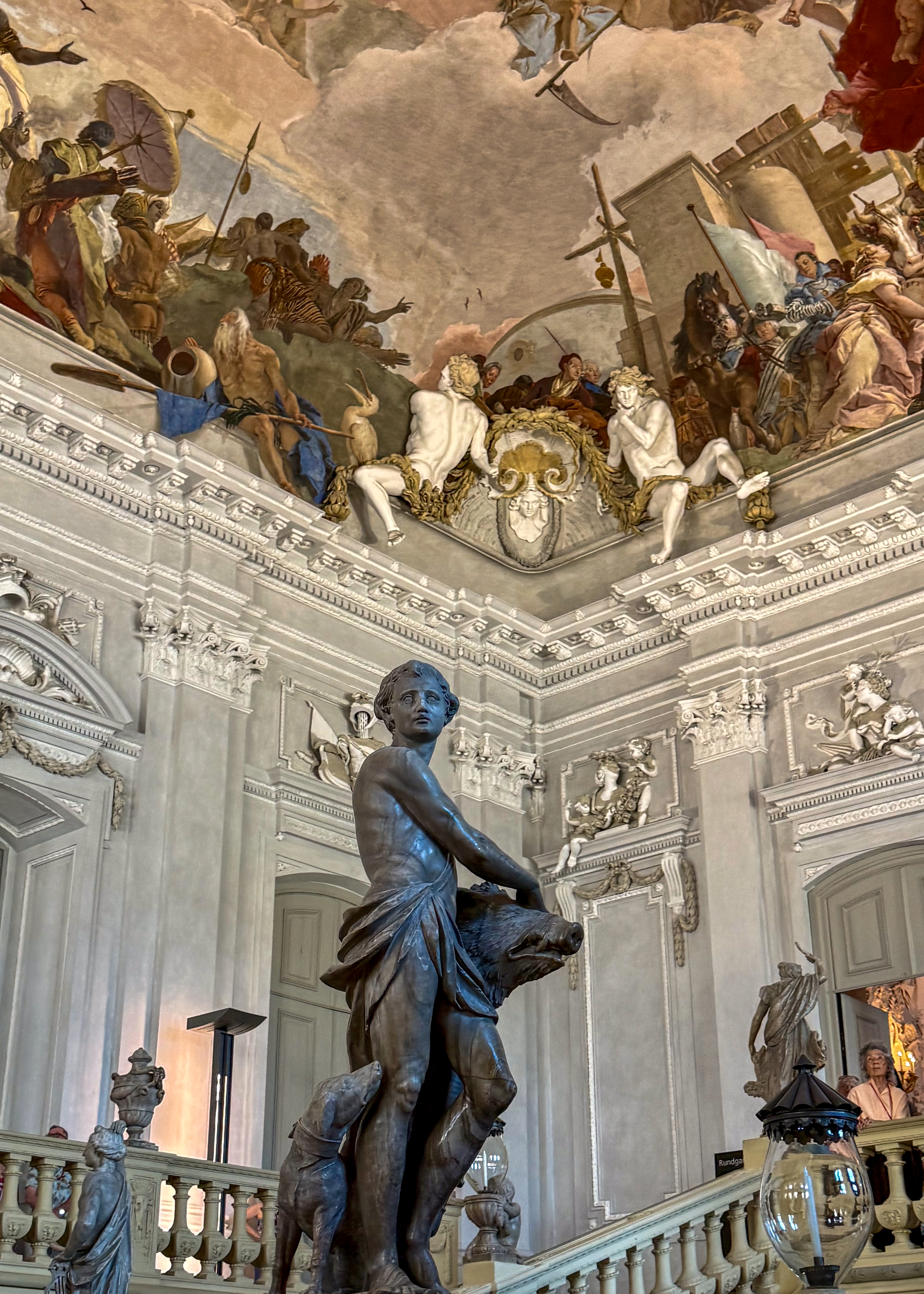
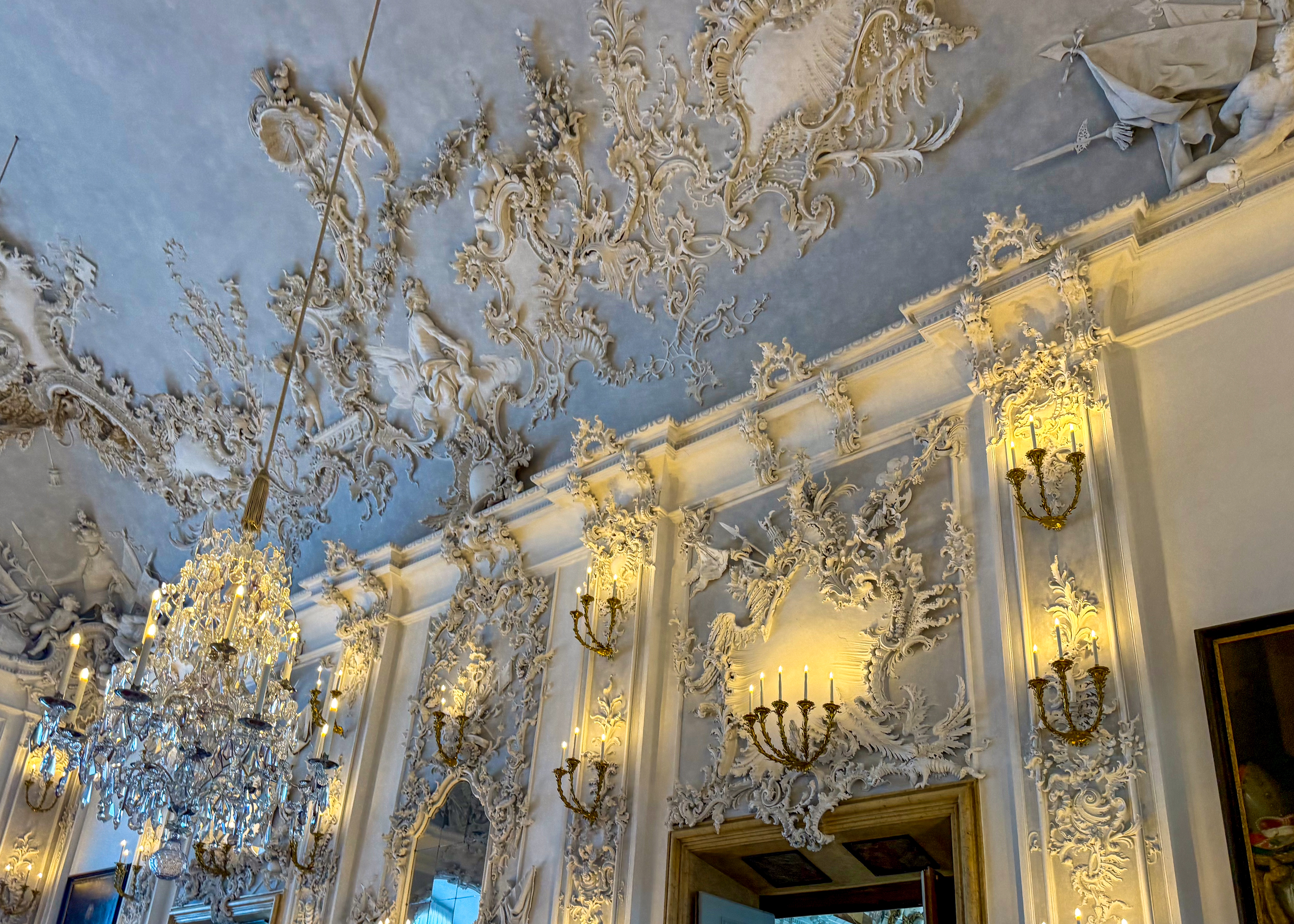
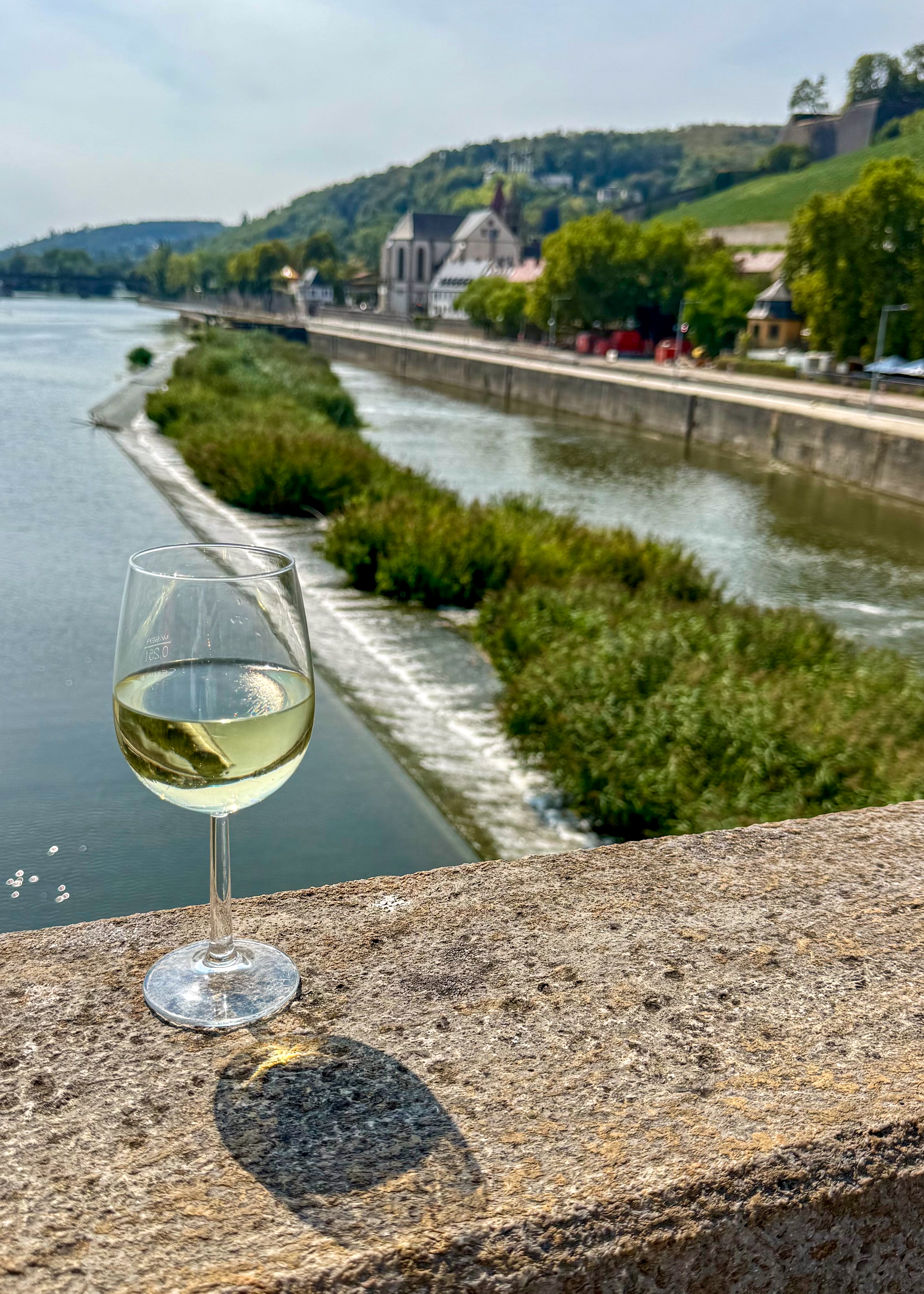
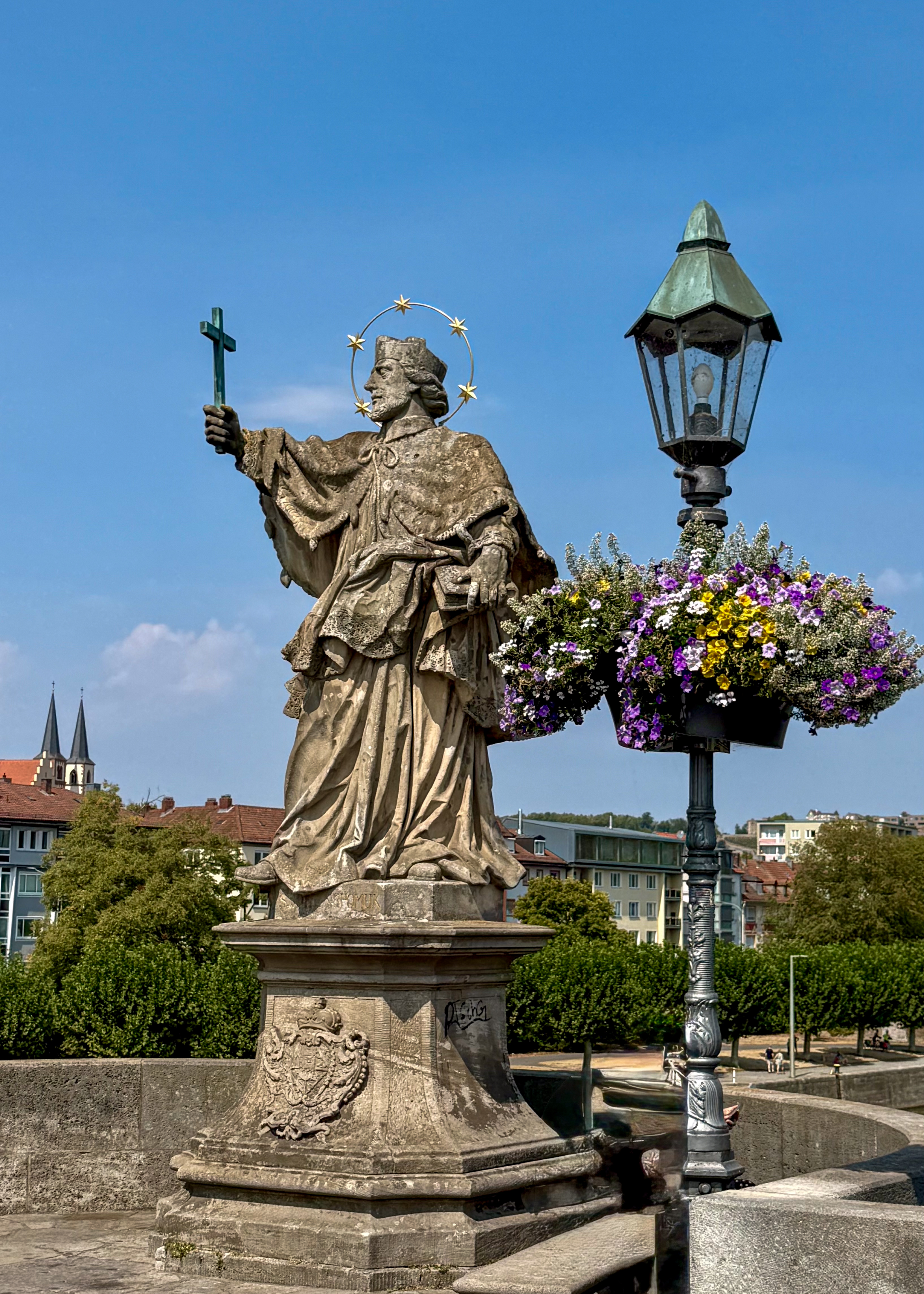
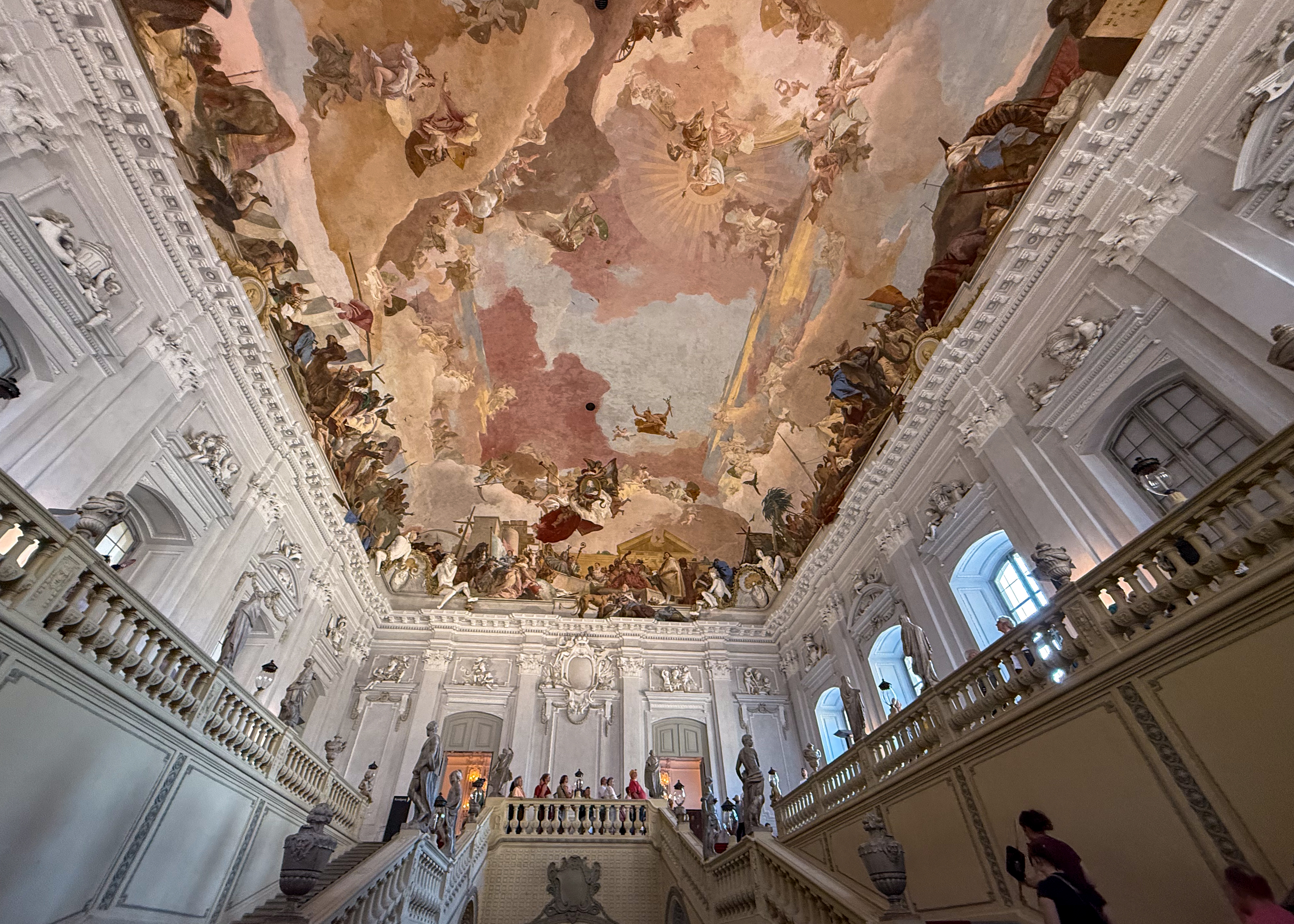
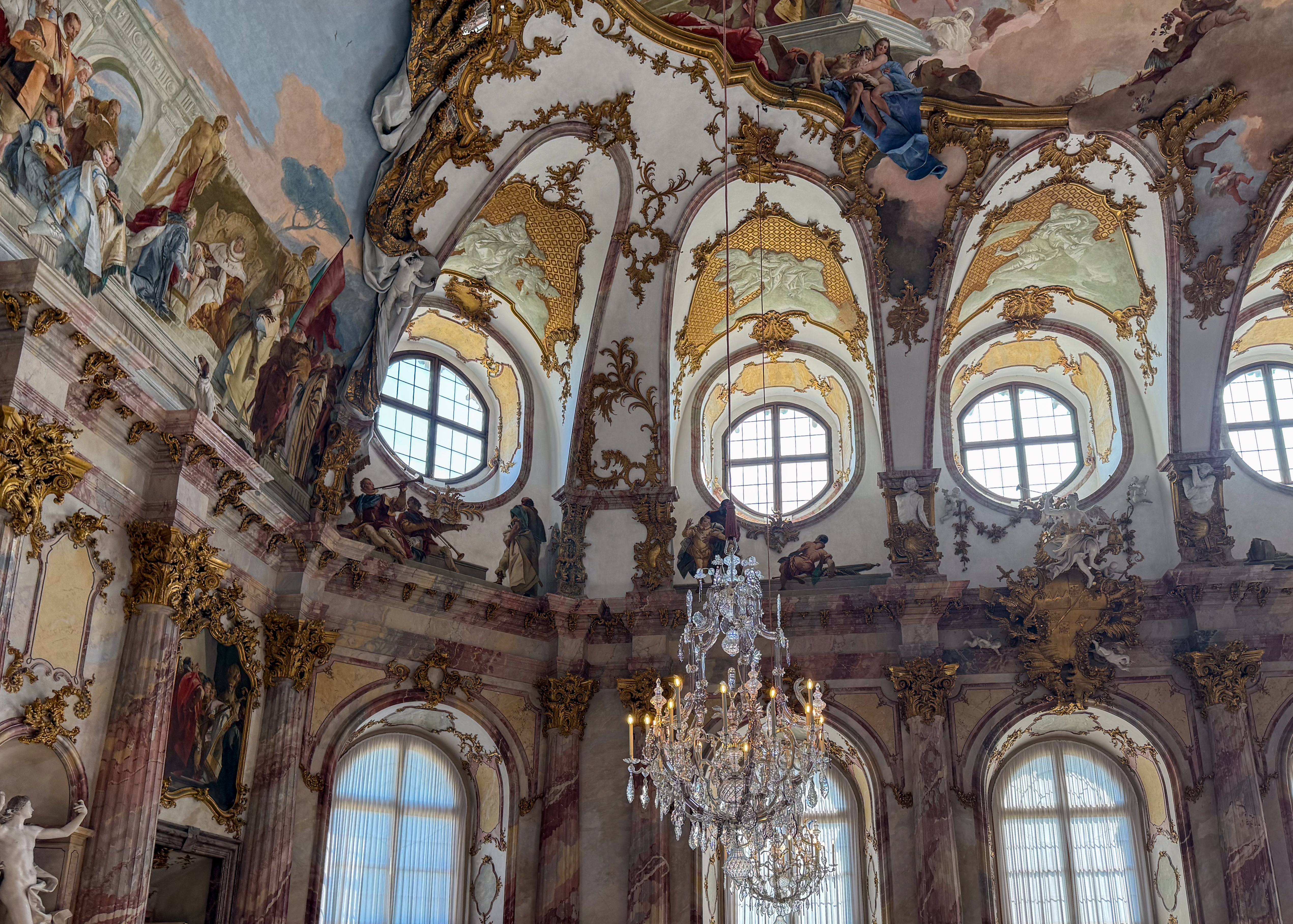
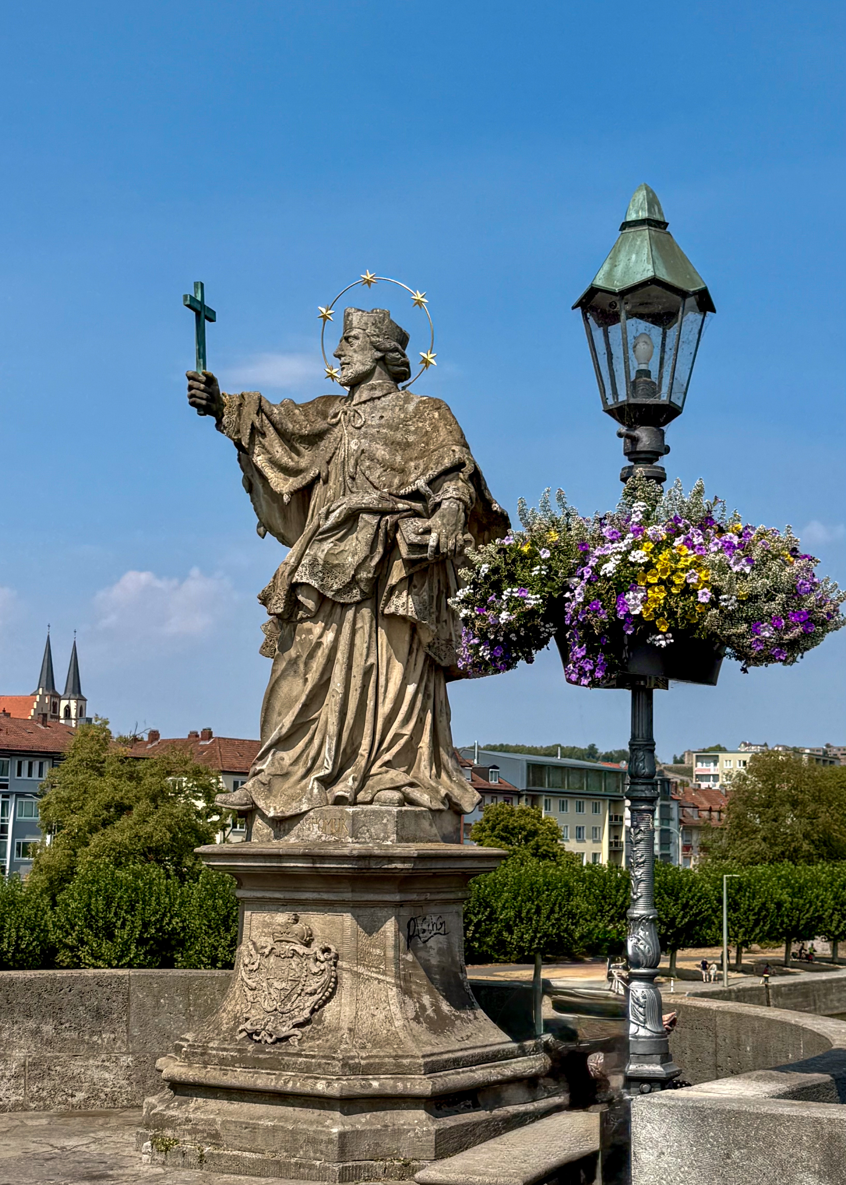
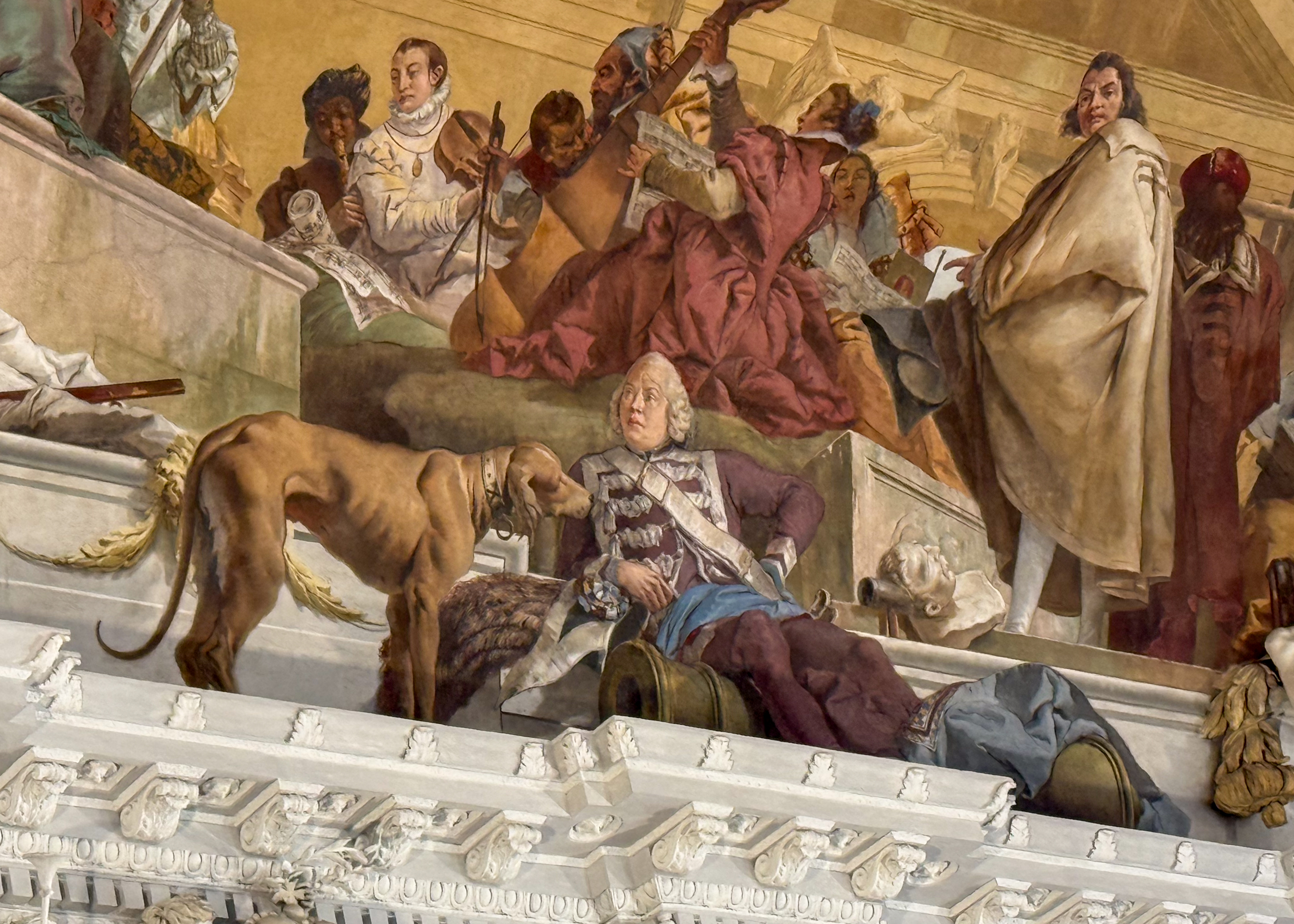
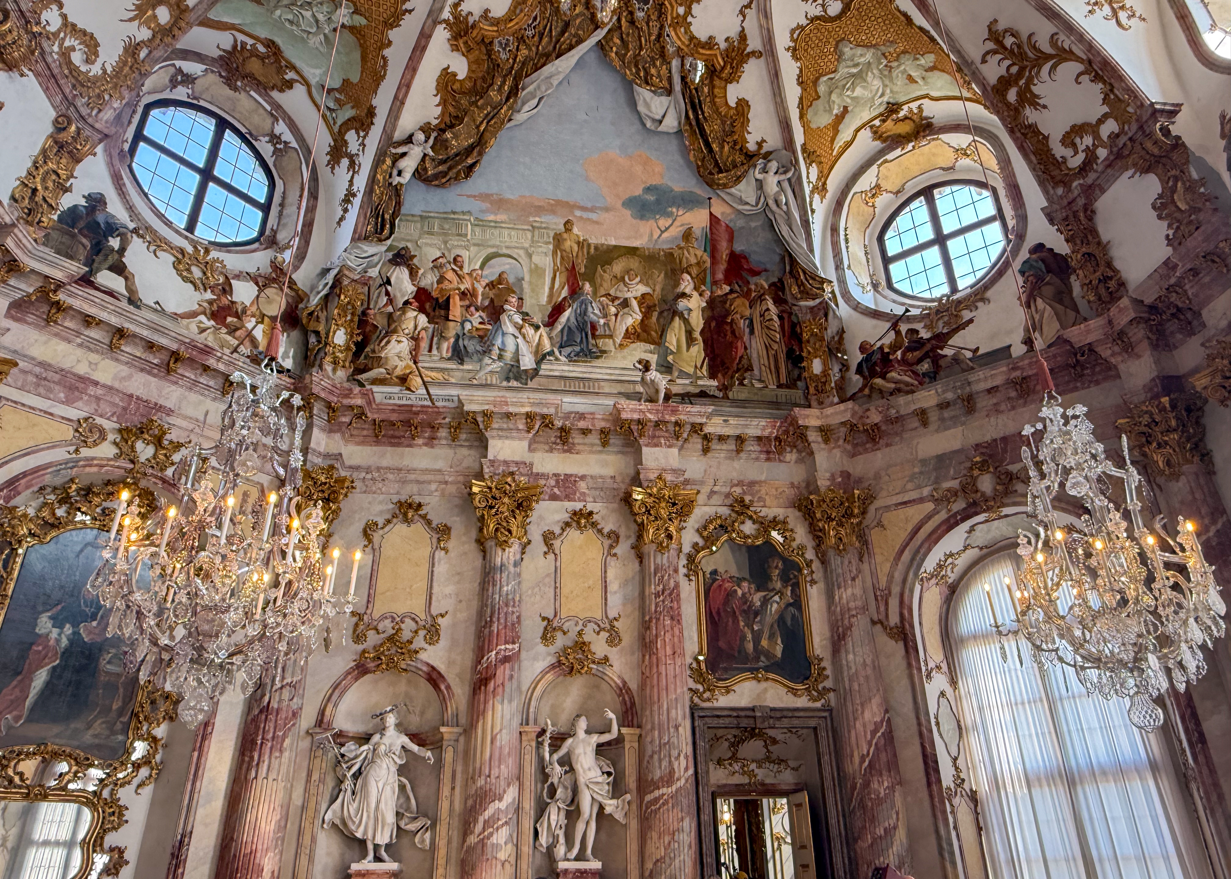
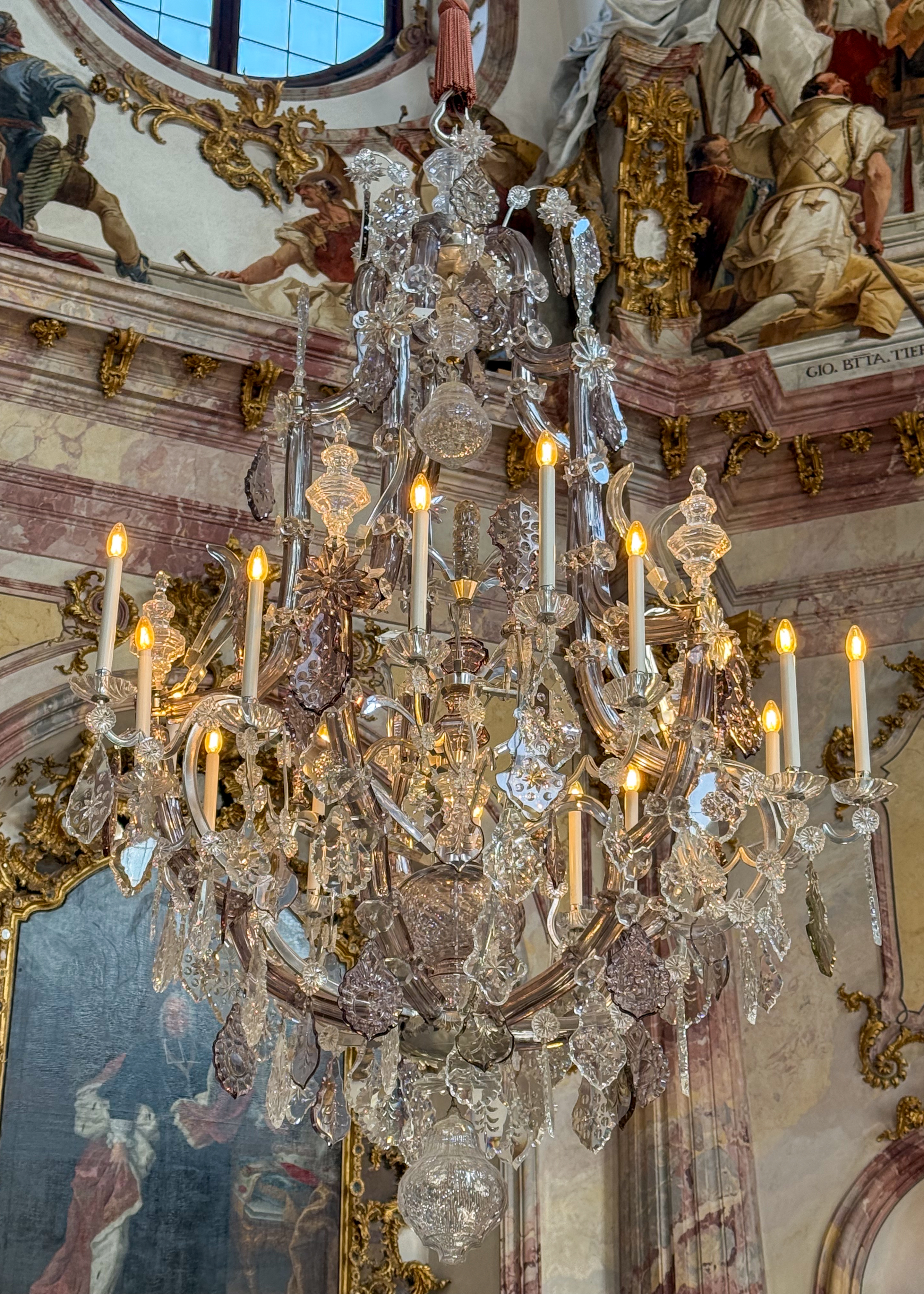
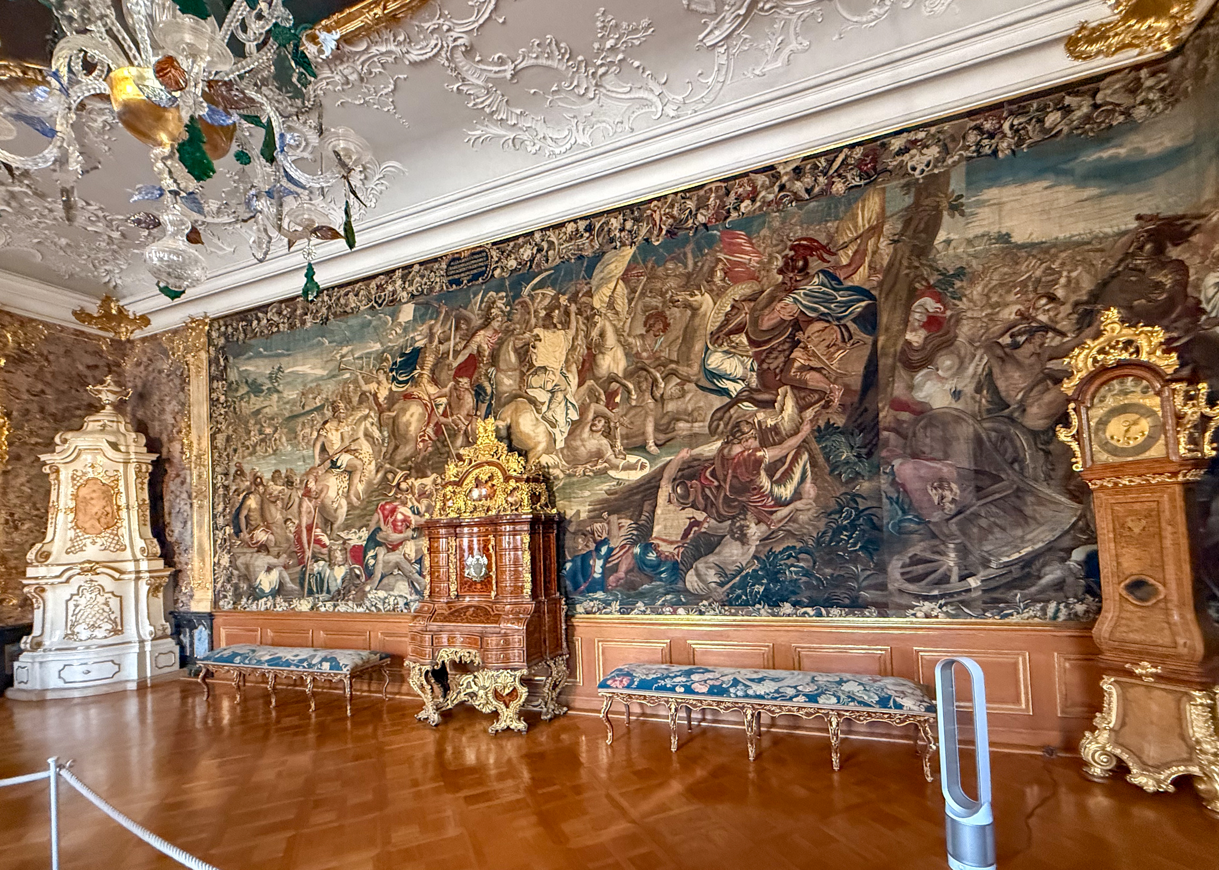
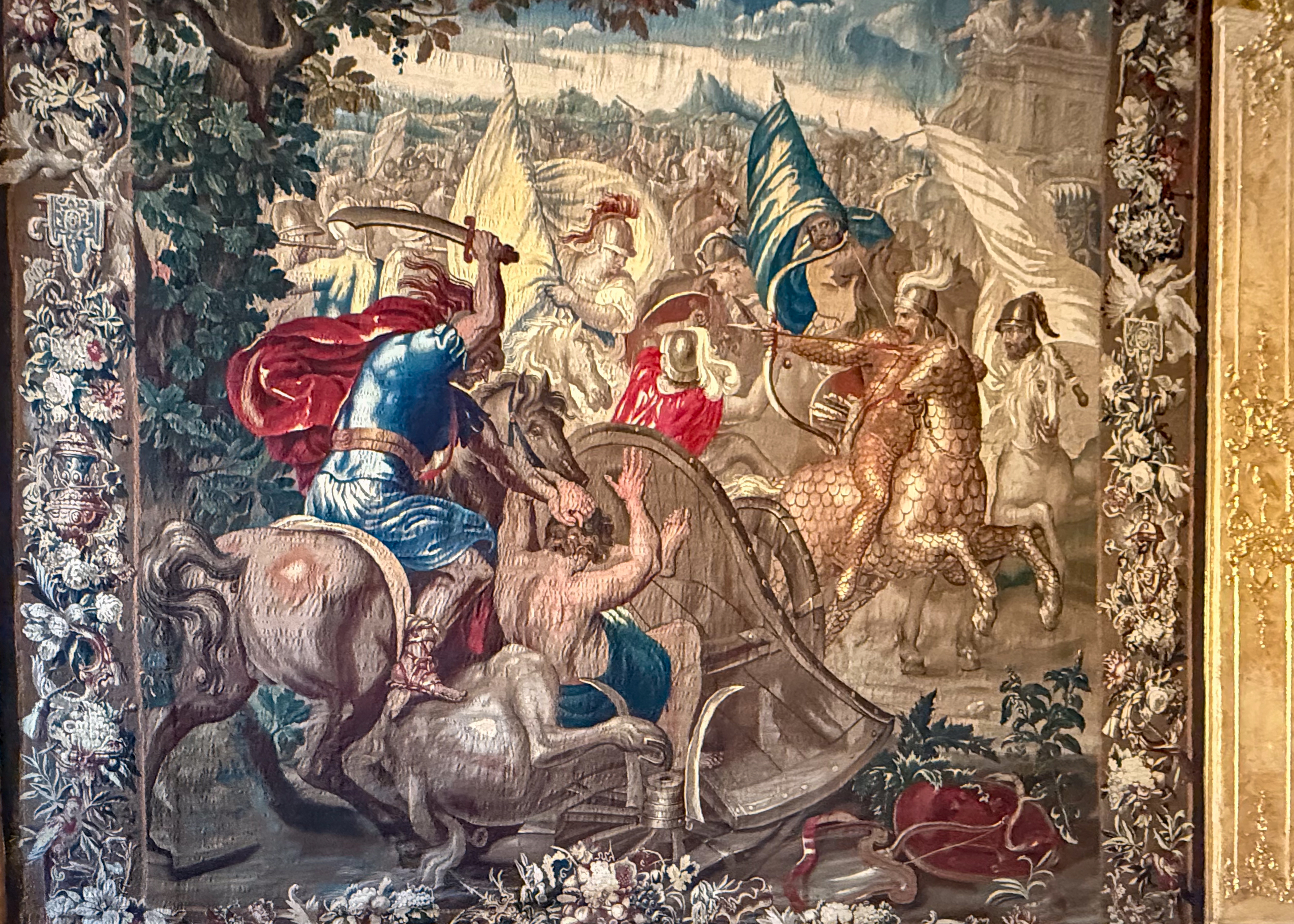
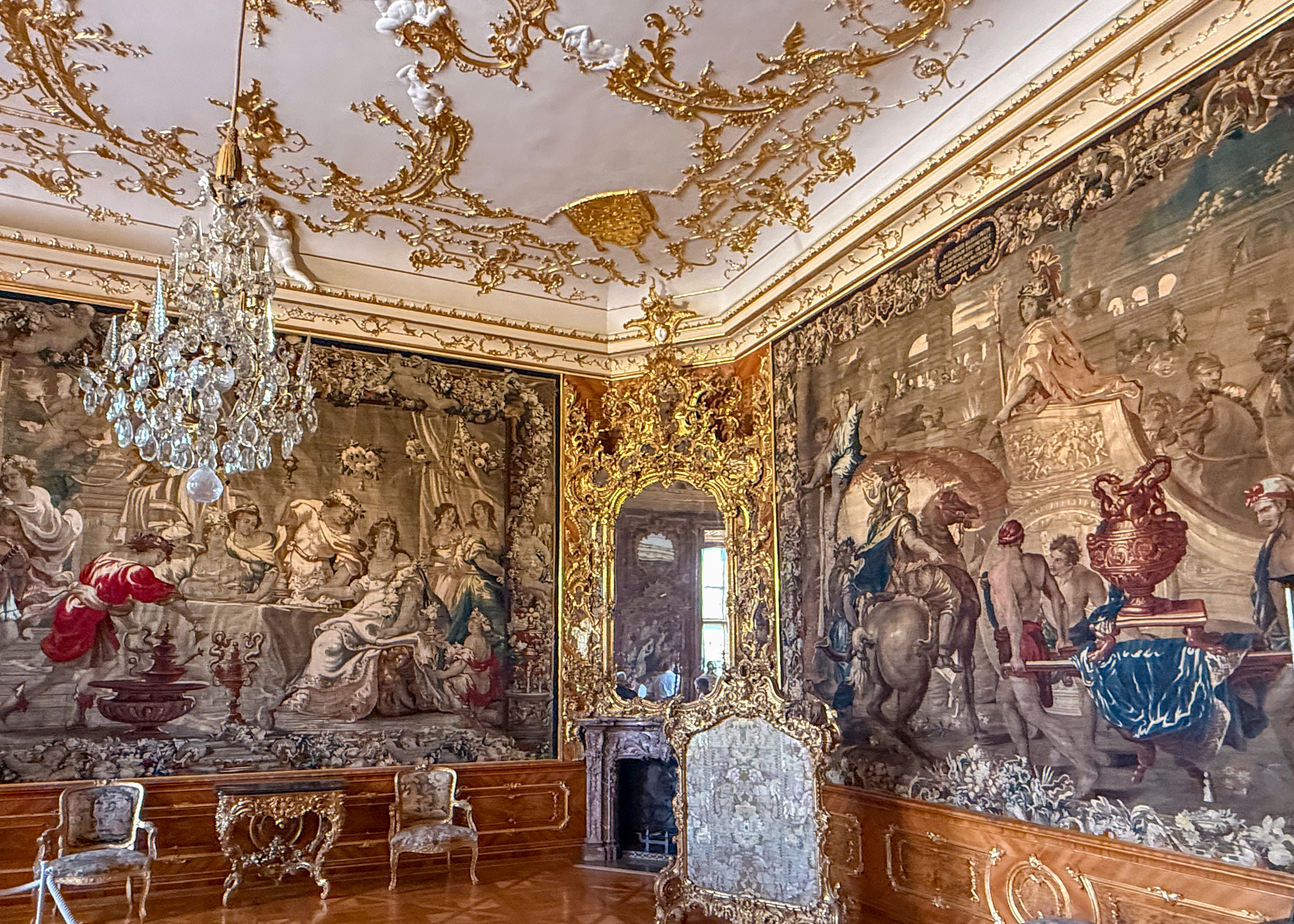
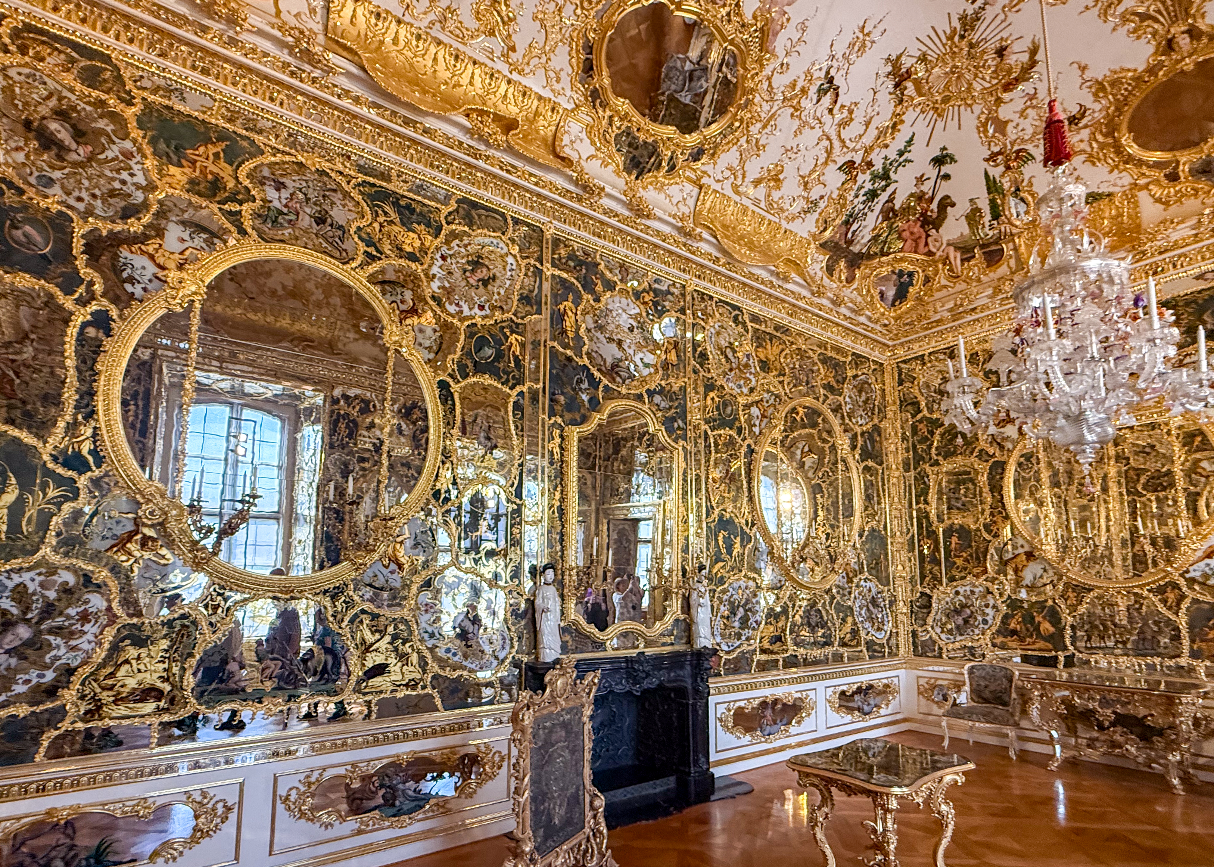
Surrounded by Franconian vineyards, Würzburg was heavily damaged during WW2, but has since been completely restored. The most pristine example of this restoration is the great Bishops’ Residenz palace, built in 1744 for the prince-bishop; no expense was spared to bring in the best artists, highlighted by its sweeping staircase and ceiling frescoes. Especially the overhead ceiling with its stunning 6,400-square-foot “Four Continents” fresco painted by Giovanni Tiepolo. We toured several ornate rooms, an exquisite colonnaded chapel, and the statue-lined English Garden. Then toured Old Town, viewing its Romanesque Cathedral, the Neumünster church, and the market square with the town hall. Other landmarks include the medieval, statue-lined Old Main Bridge and Marienberg Fortress, originally a Celtic hill fort and later a bishop’s residence.

Europe 2026 – Day 10 Marktheidenfeld & Lohr am Main, Germany

Lohr am Main

We started the day with a coach ride along the Main and through row upon row of vineyards (planted in vertical rows as opposed to horizontal in the States – because of the steepness of the mountains). Lohr am Main is the legendary “birthplace” of the real- life inspiration for the German fairy-tale character Snow White – by the Brothers Grimm. Highlights of the town include the Bayersrum, a 40-meter-tall watchtower built in the 14th century. The Old Town Hall, built between 1559 and 1602 with distinctive red sandstone arches. St Michael’s Church, built in the 9th century featuring a 62-meter tower that defines the town’s skyline. Lohr Castle, the centerpiece of the town, which now houses the Spessart Museum, which features the “talking Mirror”.

Marktheidenfeld

Returning to the ship from Lohr am Main, we stopped at Marktheidenfeld, a picturesque town situated in the Lower Franconia region of Bavaria. It’s a well-preserved town with half-timbered houses, quaint streets, and a bustling marketplatz. The Franck House is the town’s most iconic landmark. Built in 1745 by a wealthy wine merchant, its striking smalt-blue façade was the most expensive color available at the time. Also of note is the distinctive wine bottle of the region – looking something like it was stolen from a bull.

Europe 2026 – Day 10 Frankfurt, Germany

Frankfurt was our first tour stop, where our river boat could dock in town (new town, not old town), so we had a 15-minute walk along the Main to reach the old town entrance. Frankfurt has been nicknamed “Mainhattan” for its skyline resembling Manhattan’s. It is a major financial center and a rich hub of culture and architecture. Nine museums line the Main. In the Roman Hill, Frankfurt’s town hall spreads out over 11 houses. Emperors were crowned in the Gothic St. Bartholomew’s Cathedral; the remnants from Roman settlement are on exhibit in the city’s archaeological Garden. Frankfurt and its old town were heavily destroyed during WW2 and today’s old town is mainly reconstructed from the 50’s to the 70’s. The Romerberg square in the heart of Frankfurt’s Old Town (Altstadt) contains many of the reconstructed half-timber houses. Frankfurt Cathedral (Kaiserdom) is a stunning red-sandstone Gothic Church. Eiserner Steg (Iron Bridge) is a historic iron footbridge crossing the Main River. It’s famous for its thousands of “love locks” and great views of the city. Kleinmarkthalle is a large and lively indoor market where you can get all kinds of pork parts.

Blog at WordPress.com.

Up ↑